
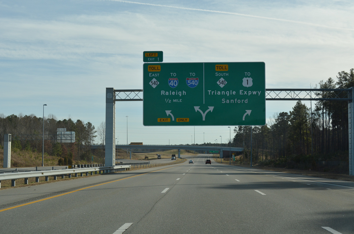
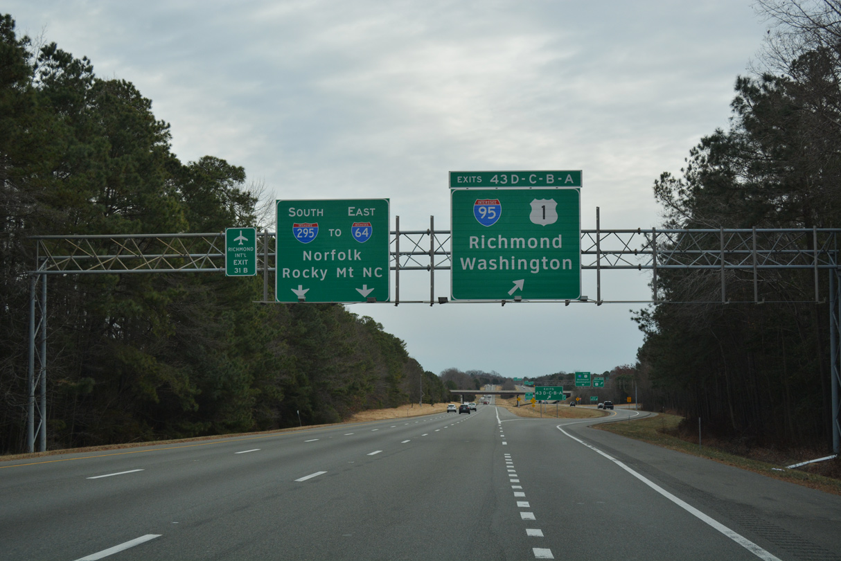
Rounding out the northern component of our trip, covering Interstate 64 east through eastern Kentucky to Charleston and a rehash of the West Virginia Turnpike south among other revisits of roads previously driven. Several more projects worth mentioning on this drive and we cover some in detail below
I-64 trailblazer on Kentucky 686 west
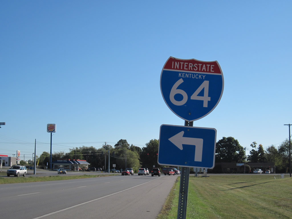
We begin our day at Mt. Sterling, Kentucky and discover one of a handful of state named shields for Interstate 64. This particular assembly is found along Kentucky 686 (Indian Mound Drive), a circumferential arterial around the city. KY-686 is signed as east-west, even on the north-south routing of the state route.
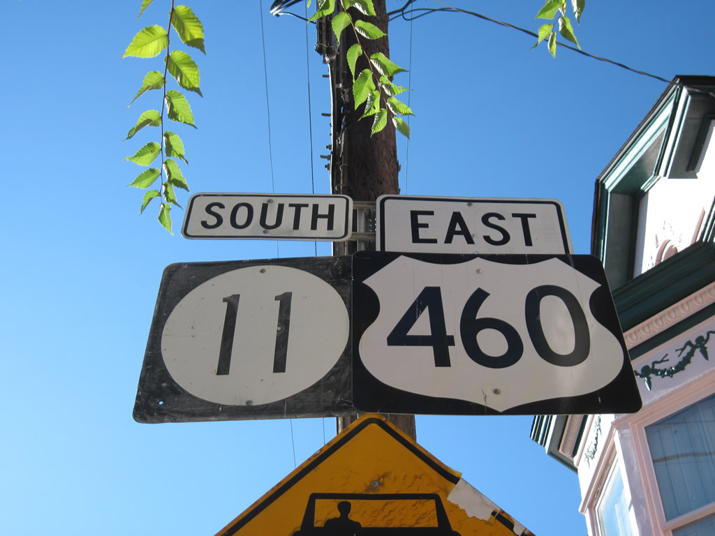
This Kentucky 11 shield includes the rarely seen Highway Gothic Series A.
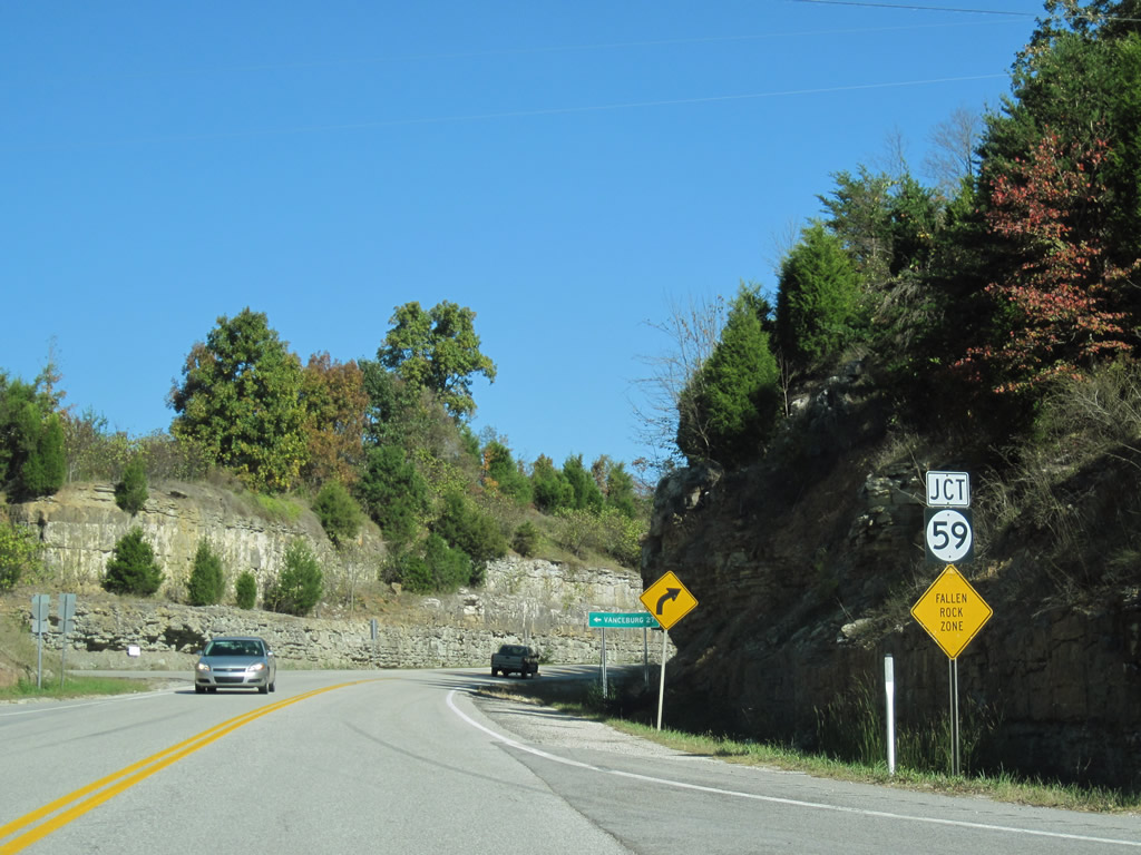
Kentucky 2 north at the beginning of Kentucky 59 near Exit 156 of Interstate 64.
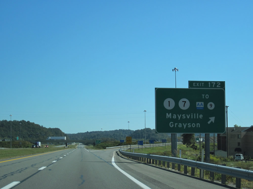
Delaware 1 & 7 at Christiana? No, Kentucky 1 & 7 at Grayson.
Kentucky 9 begins nearby and follows the John Y. Brown, Jr. AA Highway west to Interstate 275 near Covington. The AA Highway derived its original name for its intended connections between Alexandria and Ashland. Governor John Y. Brown’s name was added to honor his efforts to get the road built.
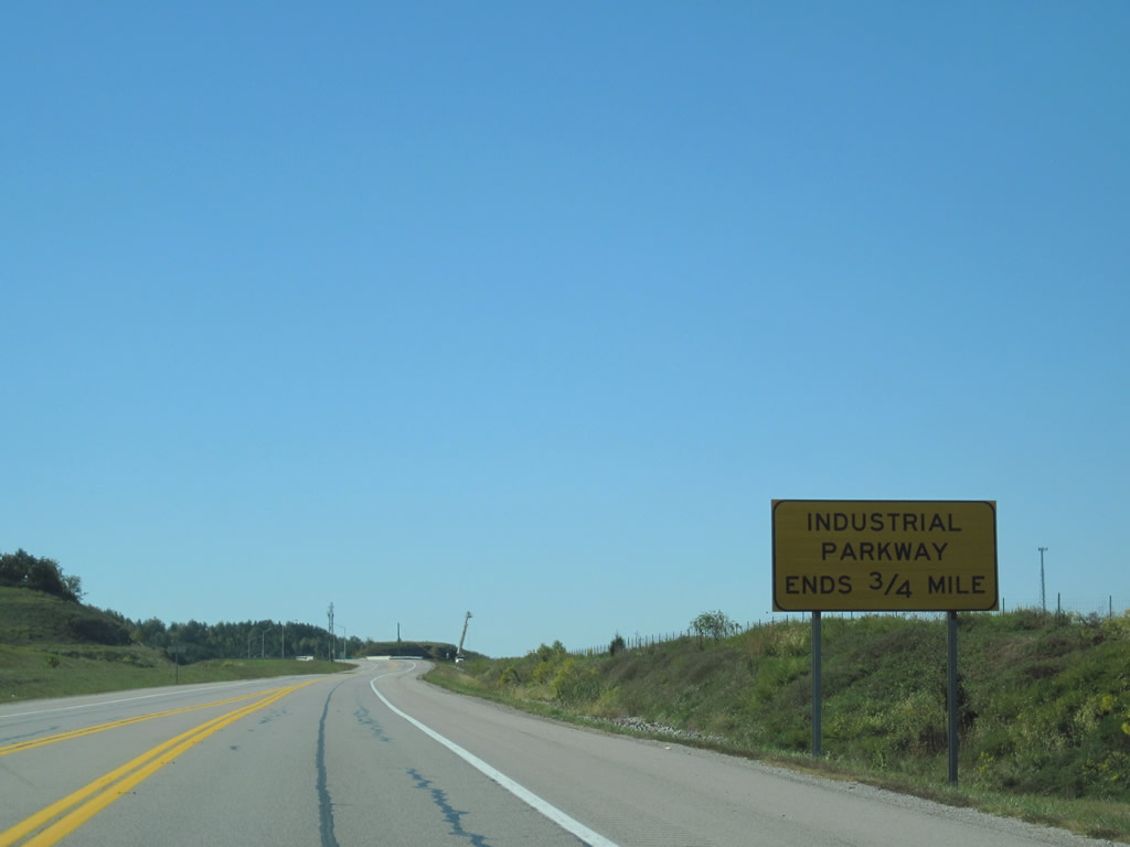
Kentucky 67 (Industrial Parkway) nears its southbound end at Interstate 64 (Exit 179).
Kentucky 67 was built as a new corridor between Interstate 64 and U.S. 23 between 2002 and 2003. Right of way accommodations exist to four-lane the highway should capacity needs demand it. Additionally it appears provisions for a possible southern extension were built into the interchange design with Interstate 64.
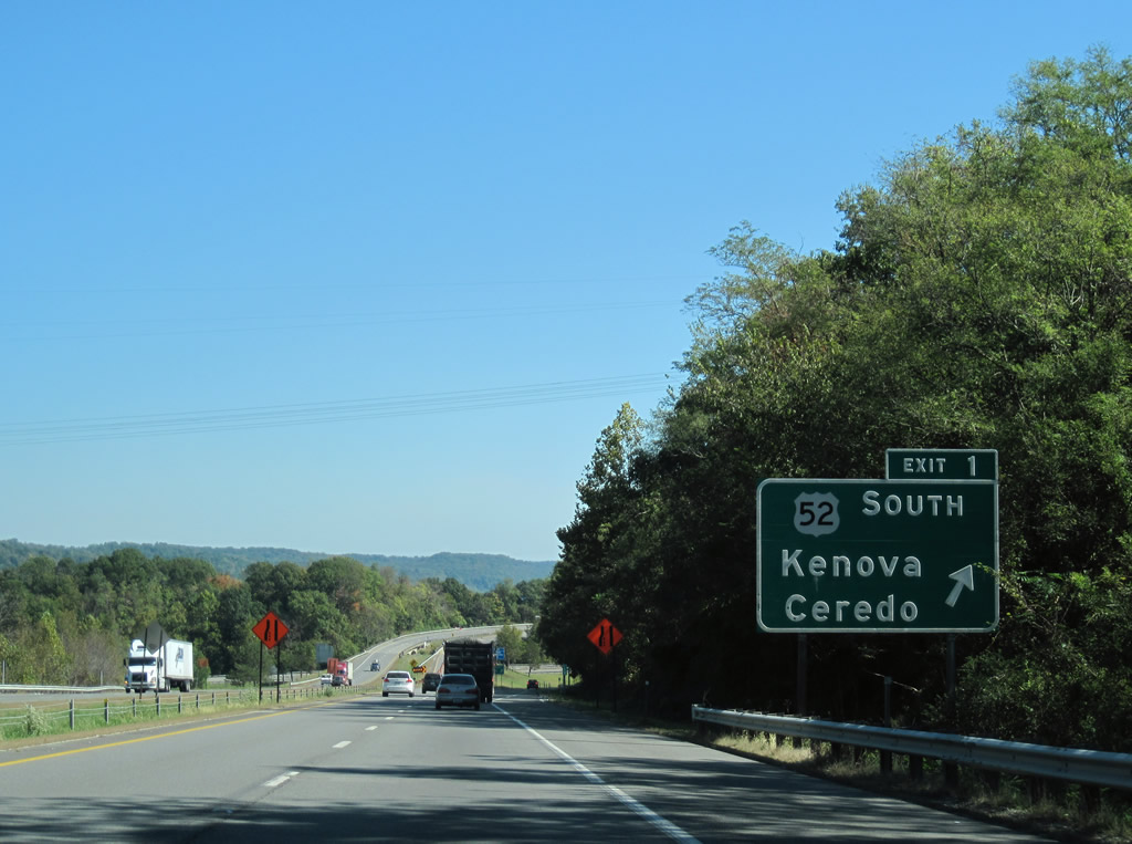
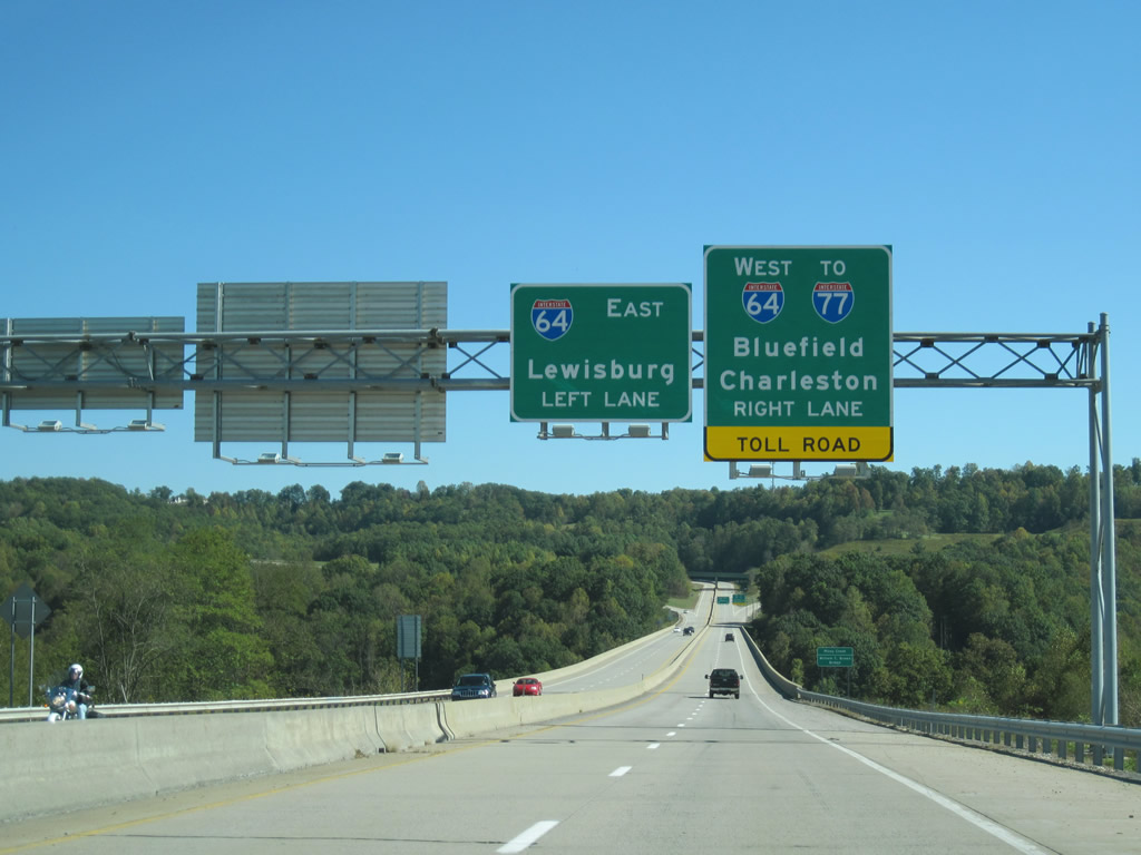
U.S. 52 merges with Interstate 64 between Exits 1 and 6 from Kenova to West Huntington.
Construction along their cosigned section is underway involving the replacement of the Twelve Police Creek Bridge near milepost 2. Traffic currently utilizes the eastbound span while a new westbound span is under construction. Drivers will shift to the new span on December 1 as crews dismantle and build a new eastbound bridge.
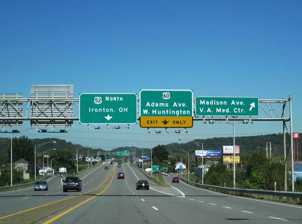
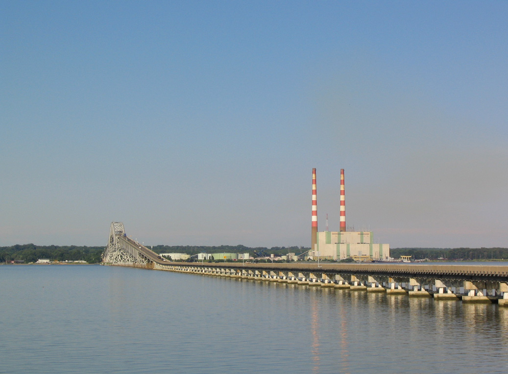
U.S. 52 leaves Interstate 64 and travels an expressway north through West Huntington to the Nick Joe Rahall II Bridge over the Ohio River.
Known as the West Huntington Expressway, the alignment of U.S. 52 to Ohio was constructed in 1965 initially between I-64 and Jefferson Avenue and signed as West Virginia 94 until 1979. The Ohio River bridge was built in 1968 and reconstructed in 1998. Tolls were collected on the span until the mid 1980s
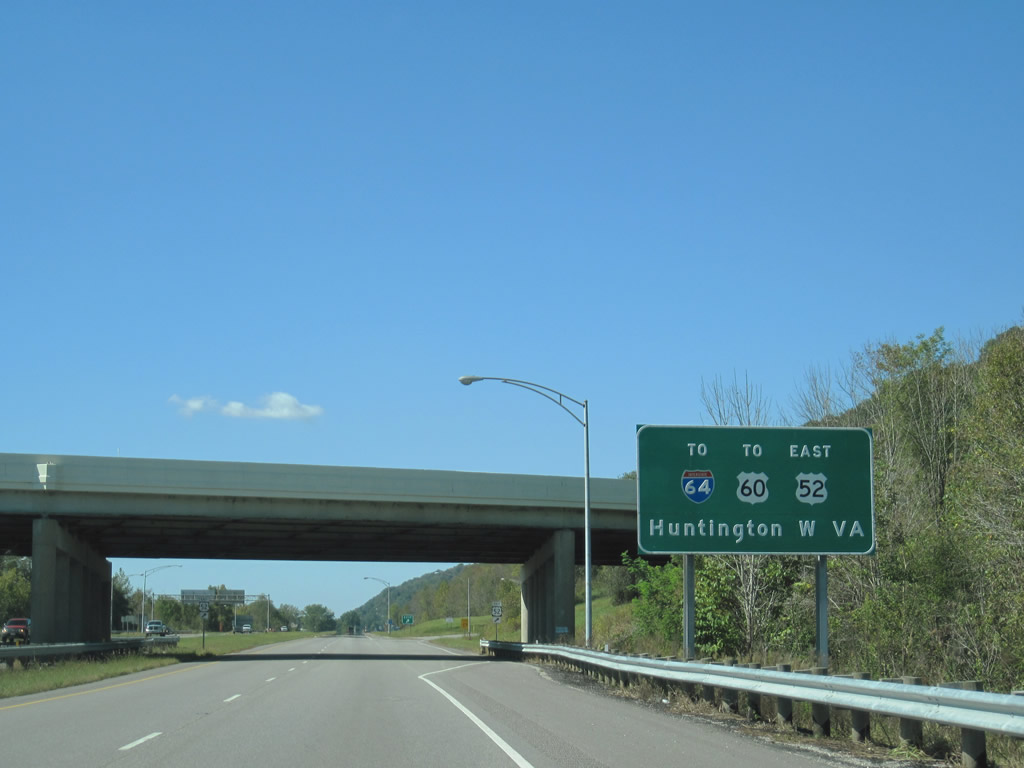
Interstate 64 based sign posted along Ohio 7 at the trumpet interchange with U.S. 52 north of the Nick Joe Rahall II Bridge.
Ohio 7 was extended to replace the original U.S. 52 alignment from the original 6th Street Bridge west when the highway shifted to the Rahall Bridge in 1979. This section of freeway opened in 1961; old U.S. 52 across the Ohio River was renumbered as Multi-state Route 527.
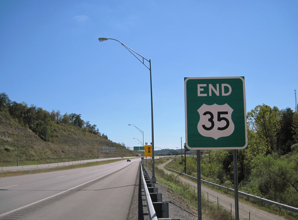
The south end of U.S. 35 at I-64.
U.S. 35 shifted to a new expressway alignment extending from Exit 44 of Interstate 64 northward 12 miles to a point north of Fraziers Bottom. This roadway is part of an overall plan to four-lane U.S. 35 from Putnam County to the Ohio state line at Henderson. Sections of the southern section of U.S. 35 opened from south to north between Fall 2008 and June 2009. http://www.transportation.wv.gov/communications/Highways-Projects/US_35/PublishingImages/US_35_Status_ 2009-06-30_Map_02.pdf
Work is ongoing from Beech Hill west to a 1997-completed section of expressway at Henderson. Construction on the new U.S. 35 alignment between Fraziers Bottom and Beech Hill was unfunded, but a recent approval by Putnam County commissioners may see the remaining 14.6-mile stretch completed as a toll road. Mason County commissioners passed a resolution approving tolls as well, so the new road, when completed, will carry a $4 toll for passenger vehicles. Old U.S. 35 from Fraziers Bottom to U.S. 60 at Nitro is now signed as West Virginia 817.
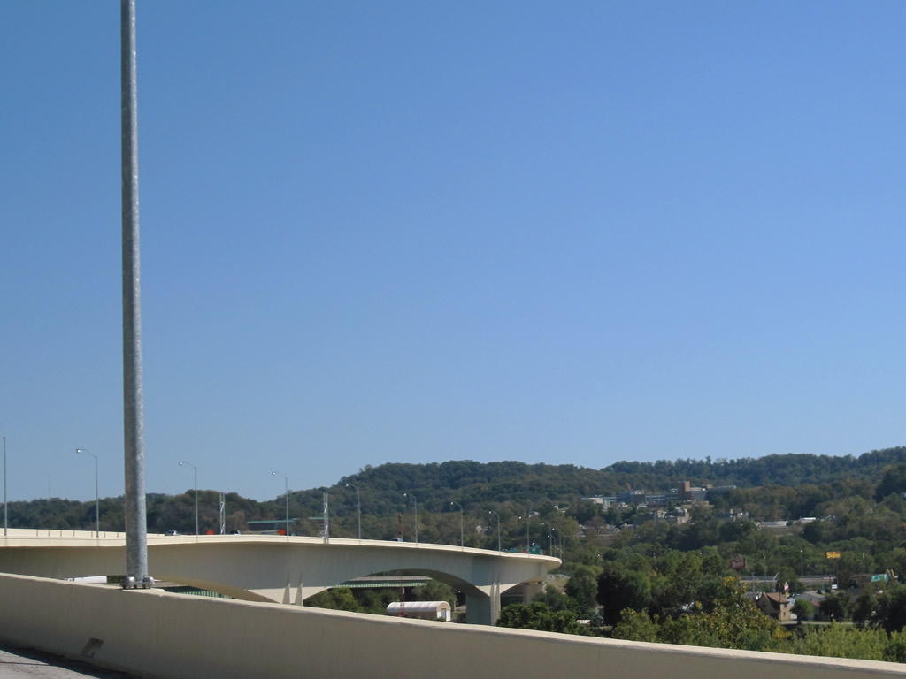
Interstate 64 east spanning the Kanawha River.
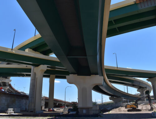
A new eastbound Interstate 64 bridge over the Kanawha River, between Dunbar and South Charleston, opened on September 9, 2010. Construction started on the 2,950 foot span in June 2007. The concrete box girder span is the longest in North America.
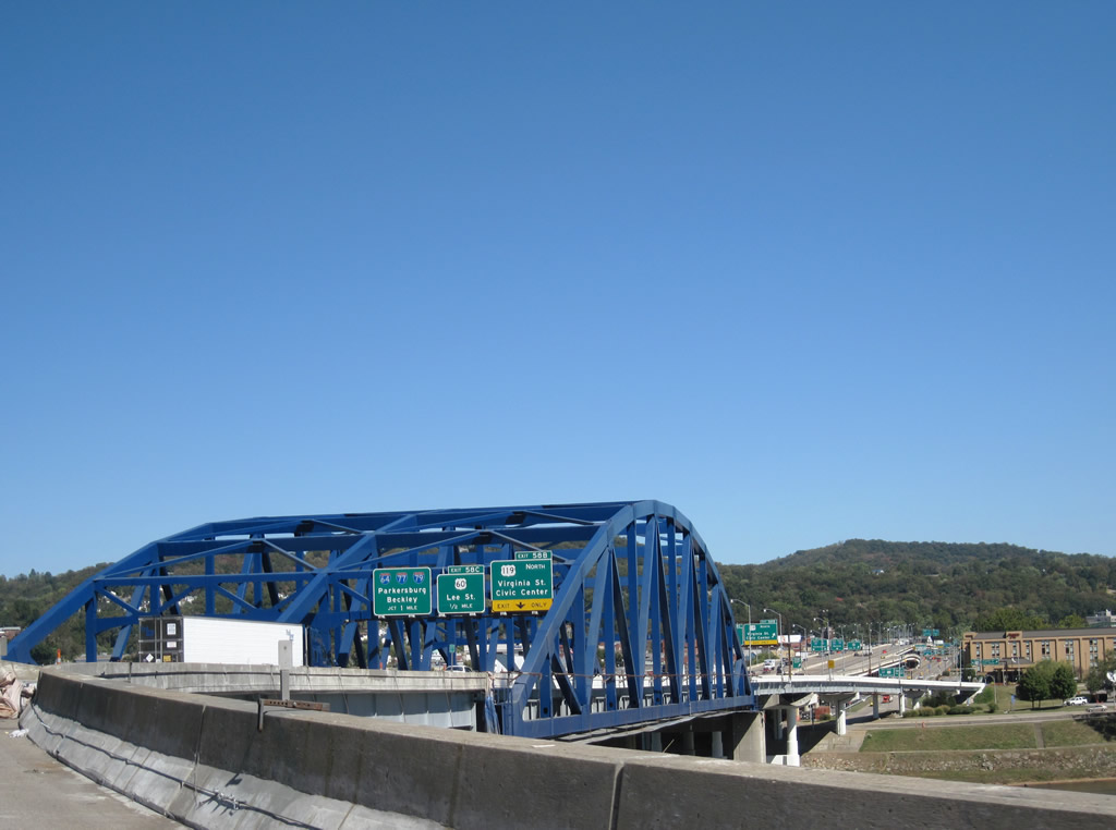
The second Kanawha River crossing of Interstate 64 takes the freeway east with U.S. 119 onto a viaduct through to the merge with Interstate 77 (Exit 59).
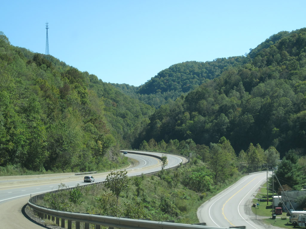
Scenery along the West Virginia Turnpike southbound after Exit 79. Cabin Creek Road winds from Dawes to Giles nearby. Just east of this scene is the Memorial Tunnel bypass section near Standard.
Heading south toward the massive William C. Brown Bridge over the Piney Creek on the East Beckley Bypass.
The East Beckley Bypass joins U.S. 19 (Eisenhower Drive) in southeast Beckley currently, but is slated to end at West Virginia 41 (Stanaford Road) by summer 2011. ARRA money helped pushed the stalled project forward.
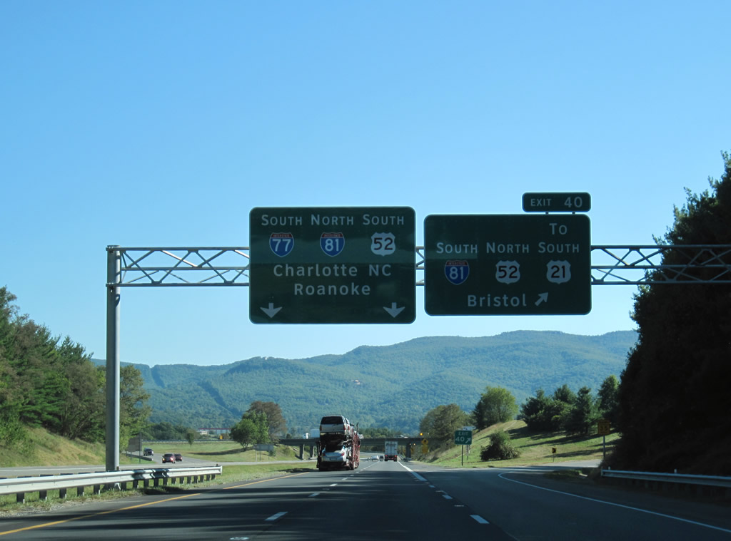
Clearview based signs posted at the Interstate 77 southbound merge with Interstate 81 outside Wytheville.
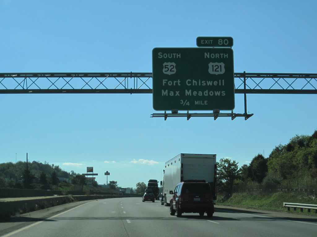
U.S. 121 is slated for the Coalfields Expressway in southwestern Virginia and West Virginia, not at Fort Chiswell!
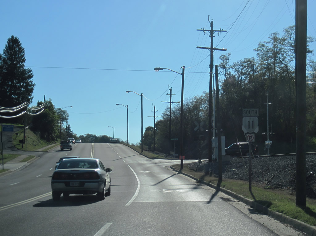
It almost appears as if this U.S. 11 shield is a Virginia 11 shield because of weathering. What may be the case is that an original Virginia shield was recycled as a U.S. highway shield. Either way the sign is located along Main Street south in Marion.
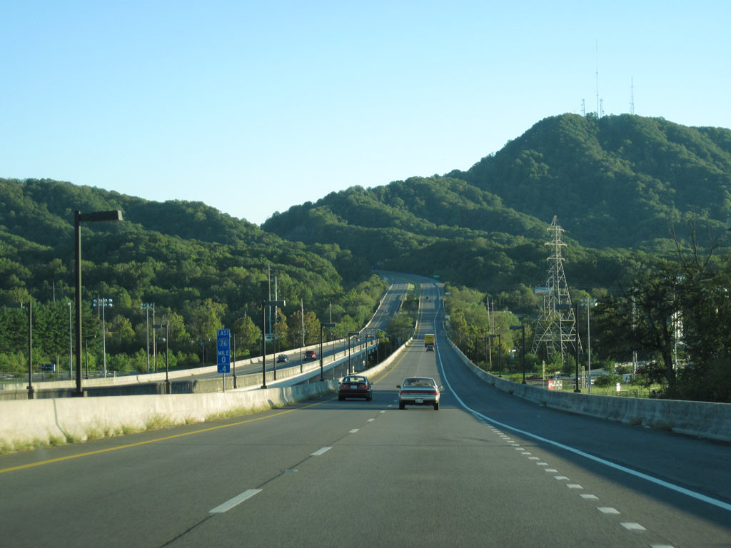
Crossing the South Fork of the Holston River along Interstate 26 east (south) in Kingsport, Tennessee.
We rounded out the day’s drive via I-26 to U.S. 25 southward into South Carolina.
Sources:
- KentuckyRoads.com – AA Highway.
- KentuckyRoads.com – KY 67.
- “I-64 Construction Update.” WSAZ, April 24, 2010.
- U.S. Route 52 in West Virginia @ Wikipedia.org.
- Ohio State Route 7 @ Wikipedia.org.
- “Putnam commissioners approval tolls on U.S. 35.” theCharlestonGazette, September 28, 2010.
- “Commission approves resolution backing U.S. 35 toll.” Point Pleasant Register.
- “Charleston Daily Mail, July 29, 2010.
Leave A Comment