|
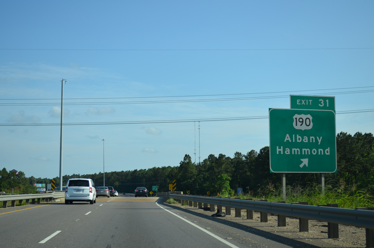
| Interstate 55 enters the city of Hammond in a half mile at the folded diamond interchange (Exit 31) with U.S. 190 (Thomas Street). 05/09/15 |
|
| U.S. 190 travels east to Downtown Hammond and west to the town of Albany. Replaced by I-12 as the through route, U.S. 190 travels west to Baton Rouge and east to Covington, Mandeville and Slidell. 05/09/15 |
|
| Interstate 55 turns southeast along the west side of Hammond to Ponchatoula. 05/09/15 |
|
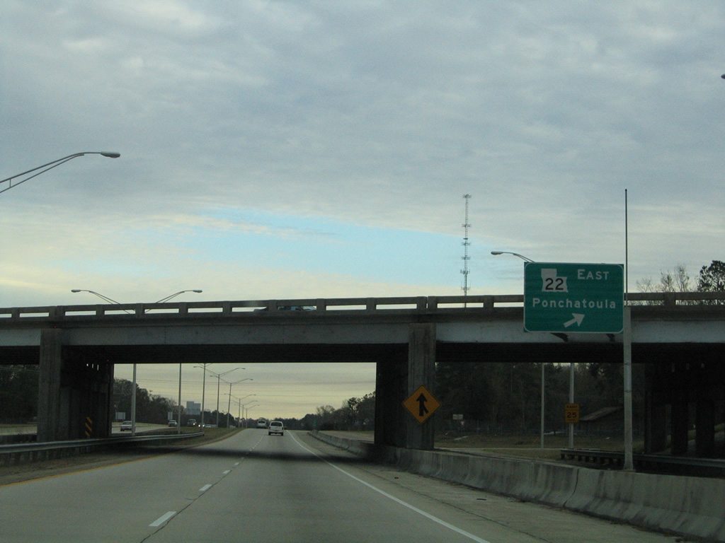
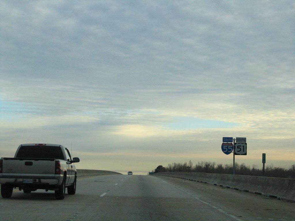
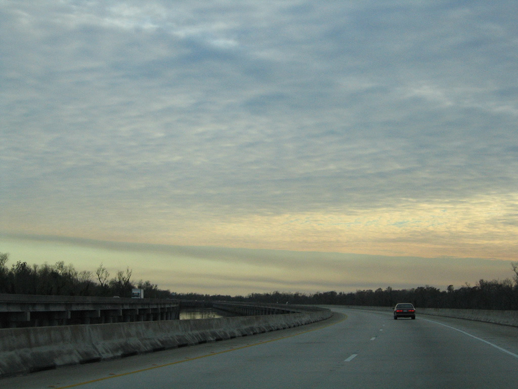
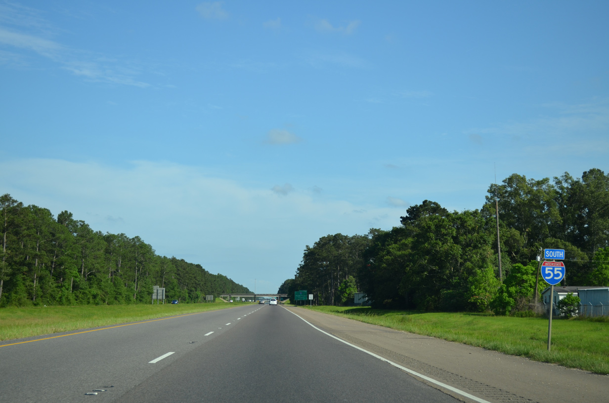
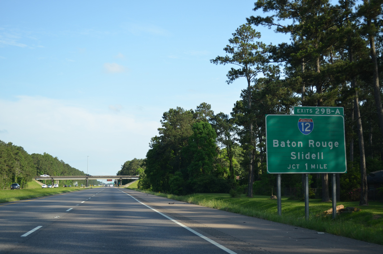
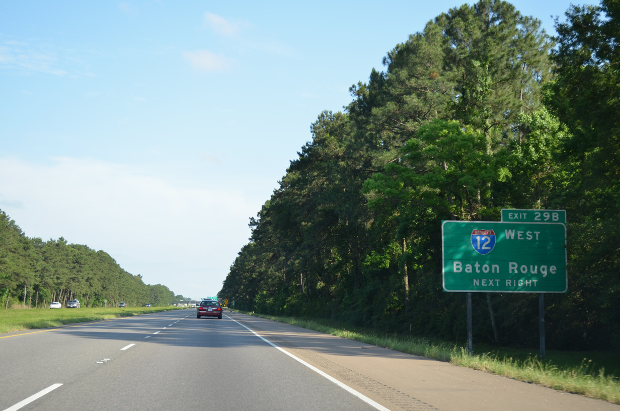
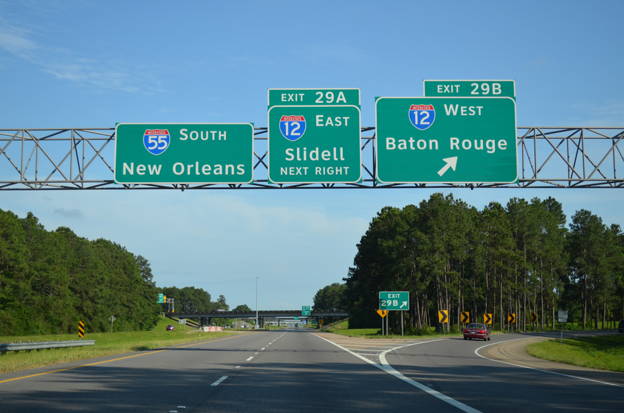
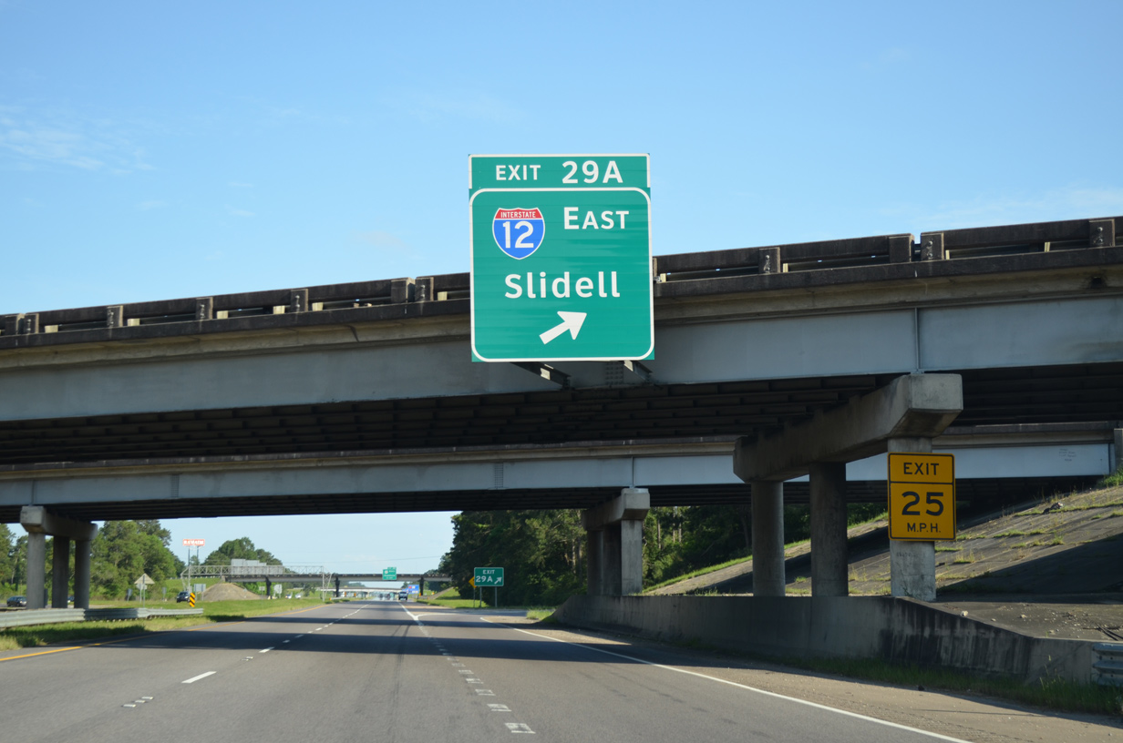
| 35 miles removed from the Mississippi state line, I-55 advances one mile south to the cloverleaf interchange (Exits 29 B/A) with Interstate 12. Concrete roadways along I-55 were paved over with asphalt by 2012. 05/09/15 |
|
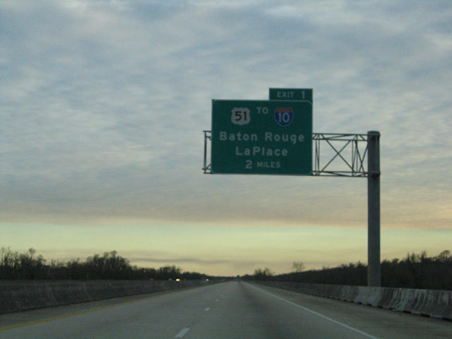
| Exit 29 B connects I-55 south with I-12 to Baton Rouge, located 39 miles to the west. 05/09/15 |
|
| Serving regional traffic bypassing Interstate 10 through Greater New Orleans, Interstate 12 travels 86.65 miles overall between Baton Rouge and Slidell. 05/09/15 |
|
| Exit 29 A follows onto Interstate 12 east to Mandeville, Covington and I-10/59 at Slidell. 05/09/15 |
|
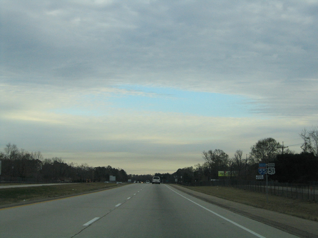
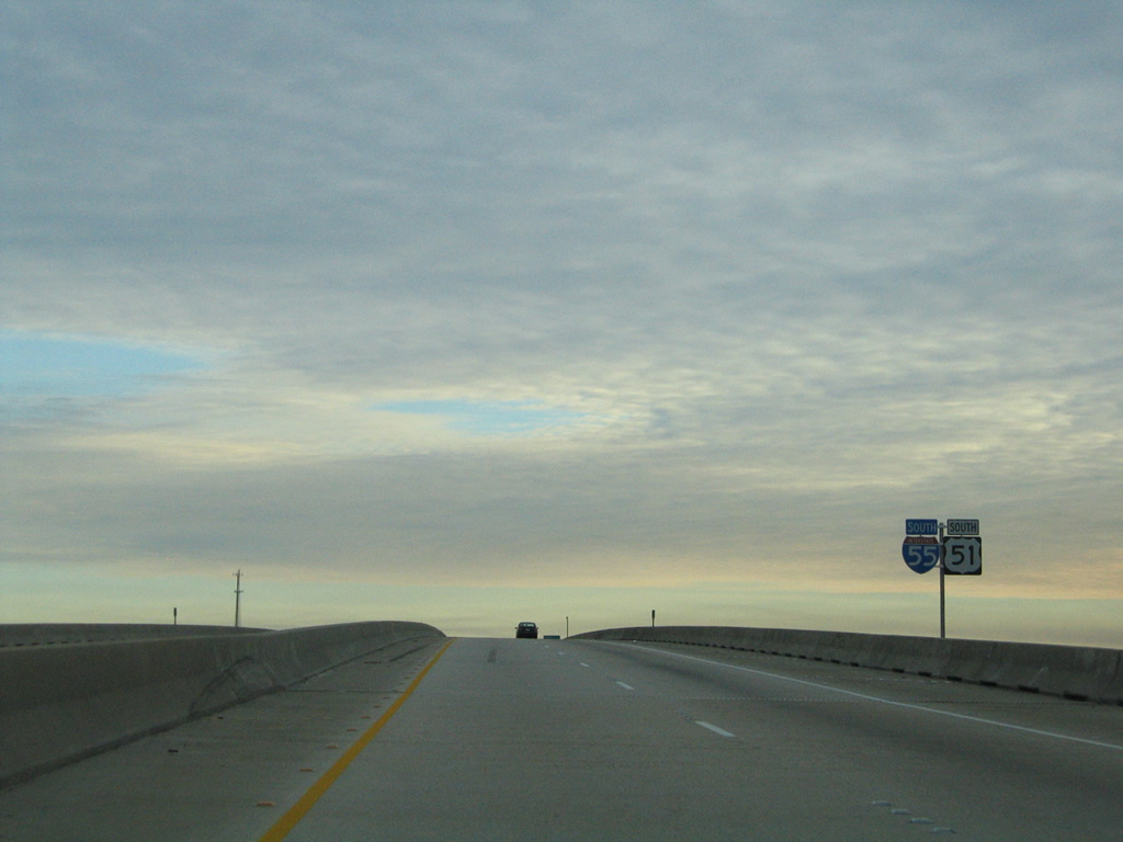
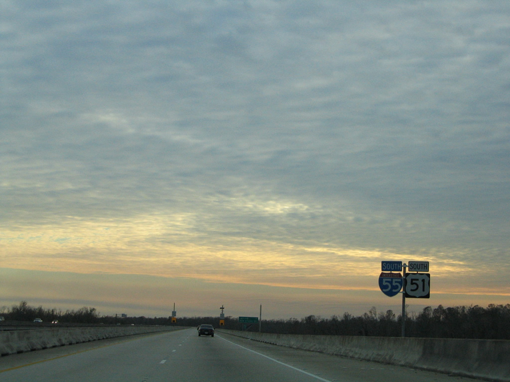
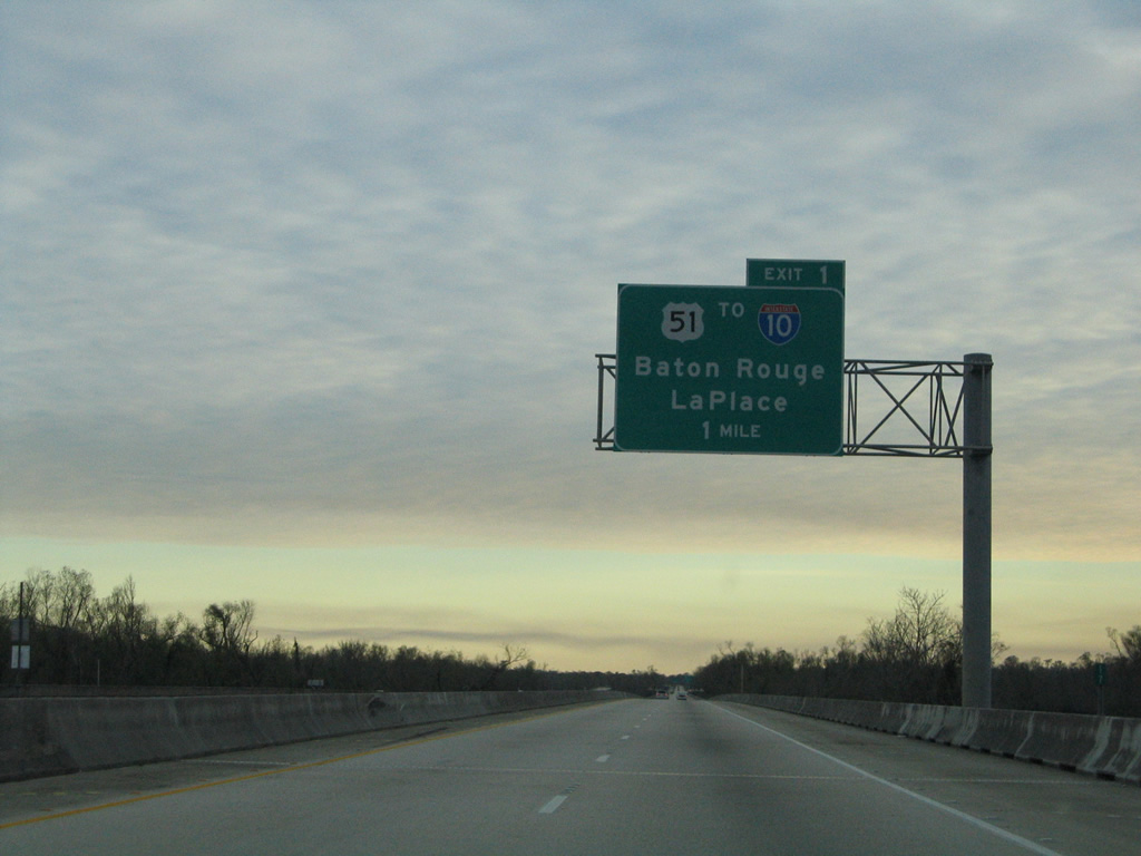
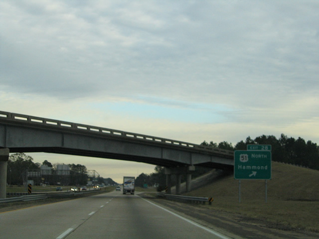
| U.S. 51 combines with Interstate 55 south from Morrison Boulevard in Hammond at a trumpet interchange (Exit 28). 01/15/06 |
|
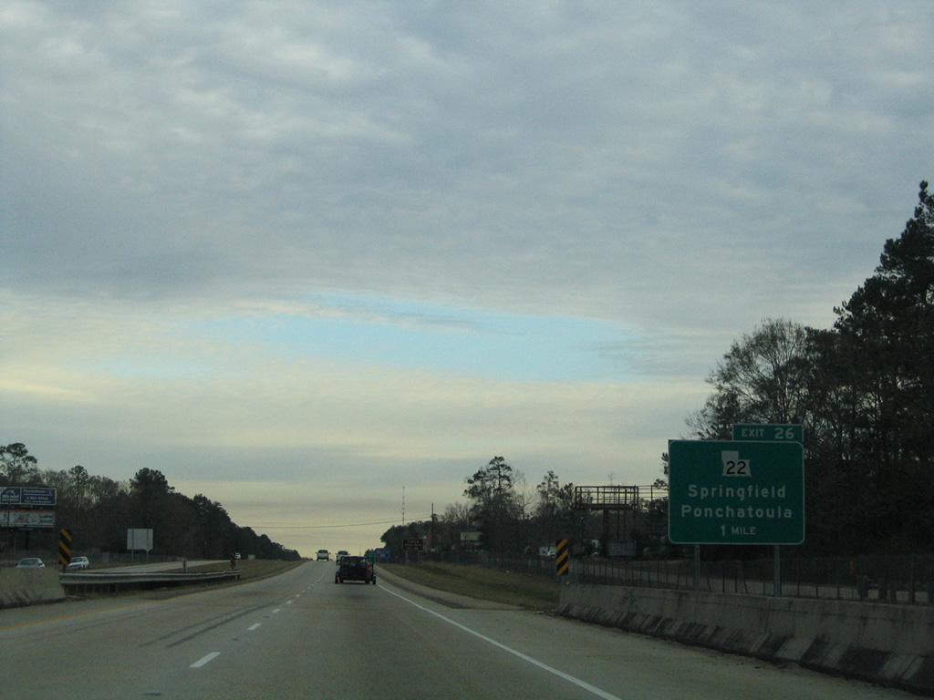
| Interstate 55 gains a frontage road system from Club Deluxe Road south to Ponchatoula. Meeting the freeway next is LA 22, a 71.9 mile route between LA 75 at Darrow and U.S. 190 at Mandeville. 01/15/06 |
|
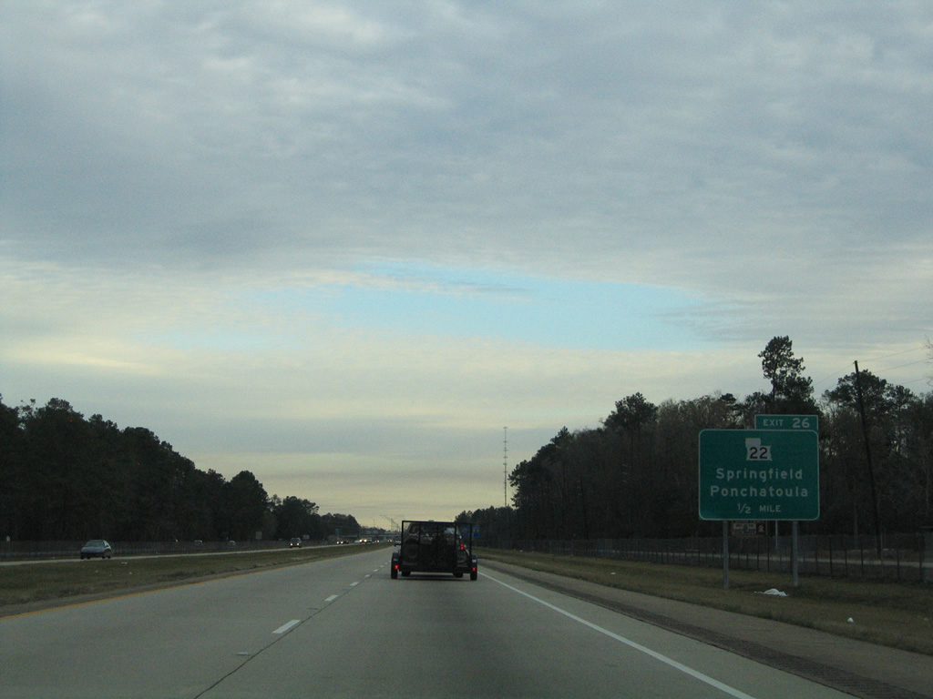
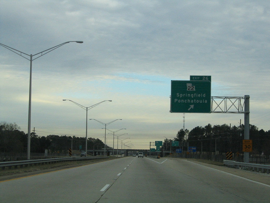
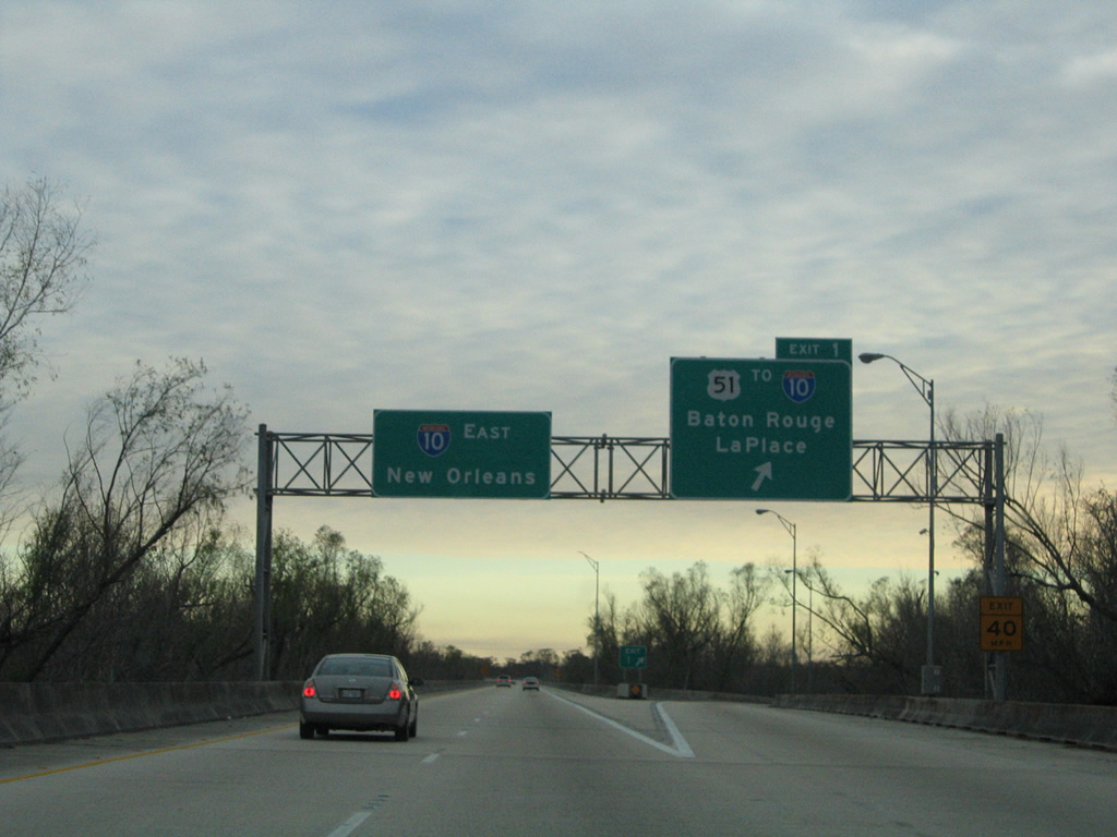
| One half mile north of the cloverleaf interchange (Exit 26) with LA 22 on I-55/U.S. 51 south. 01/15/06 |
|
| A collector distributor roadway separates from I-55/U.S. 51 south at Exit 26 for LA 22. 01/15/06 |
|
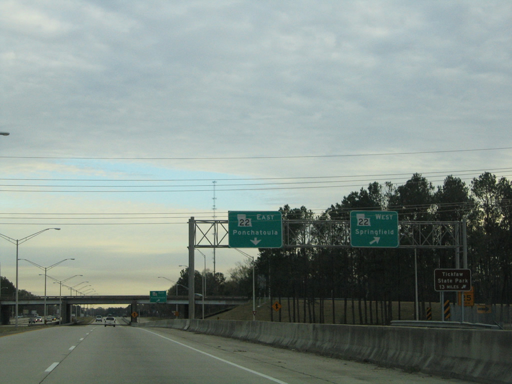
| LA 22 runs 5.4 miles west to the Livingston Parish town of Springfield. Tickfaw State Park is located to the west via LA 22 to LA 1037. 01/15/06 |
|
| East from Interstate 55, LA 22 follows Pine Street to Downtown Ponchatoula. U.S. 51 Business combines with the state highway from Veterans Avenue to Railroad Avenue. 01/15/06 |
|
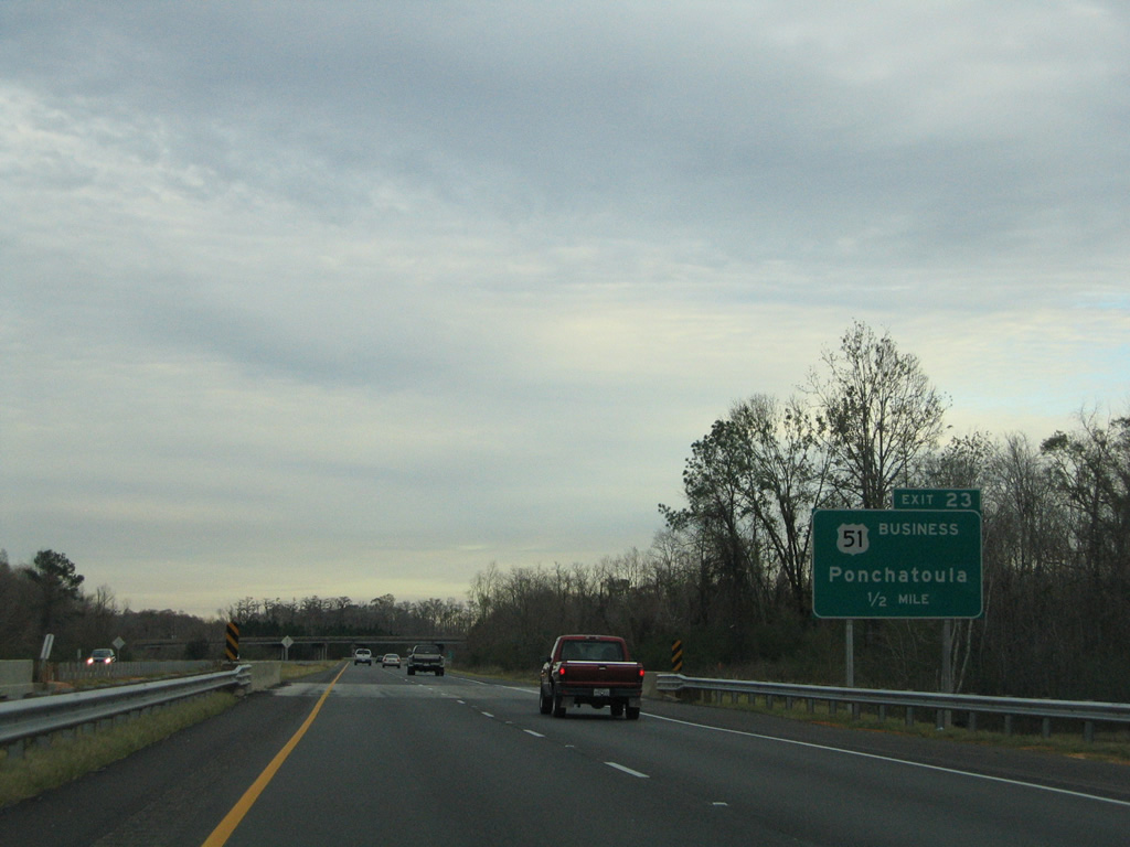
| Reassurance shield assembly for I-55/U.S. 51 south posted after LA 22 at Ponchatoula. The city of Ponchatoula was incorporated as a town on February 12, 1861 and named after an Indian name which means "flowing hair," a tribute to the hanging moss found on trees in the area.1 01/15/06 |
|
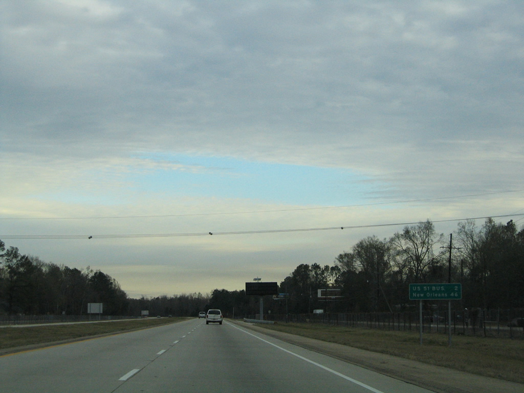
| New Orleans is 46 miles to the south and east via I-55 and I-10. 01/15/06 |
|
| U.S. 51 Business (Railroad Avenue) continues south from Downtown Ponchatoula and converges with I-55/U.S. 51 at a trumpet interchange (Exit 23). 01/15/06 |
|
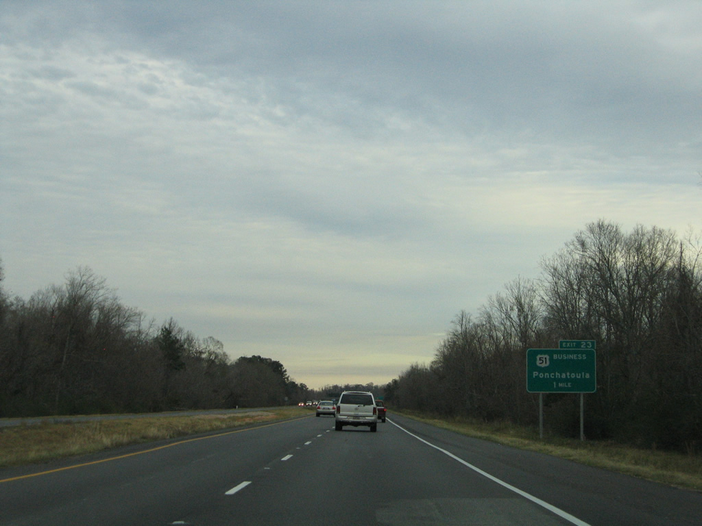
| U.S. 51 Business follows the original alignment of U.S. 51 between Ponchatoula and Hammond. U.S. 51 shifted to Interstate 55 when the freeway was constructed west of Ponchatoula in 1960. 01/15/06 |
|
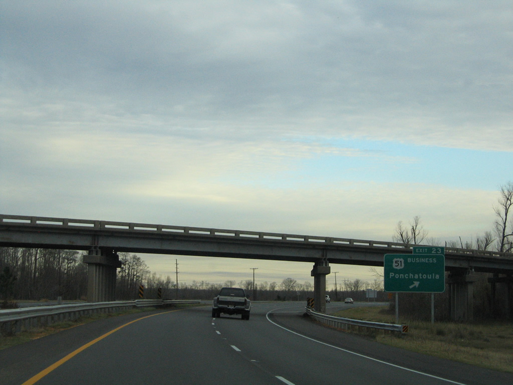
| Exit 23 provides the last fuel and lodging services along Interstate 55 south until Laplace. U.S. 51 Business travels 8.6 miles overall between Ponchatoula and U.S. 190 at Hammond. 01/15/06 |
|
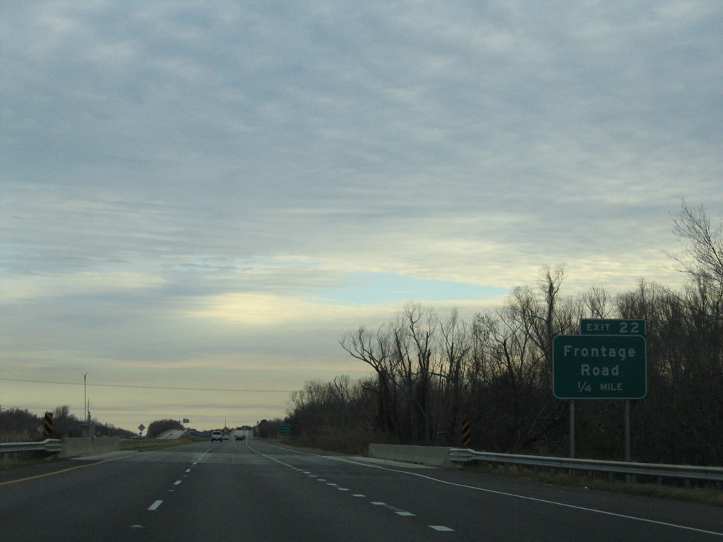
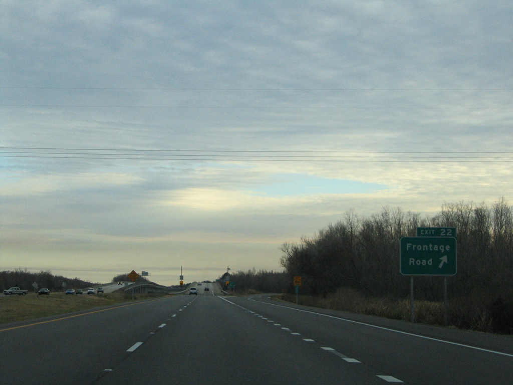
| I-55/U.S. 51 overtake the original alignment of U.S. 51 from across South Slough to Exit 22. Exit 22 is a half diamond interchange with old U.S. 51 south to Strader. 01/15/06 |
|
| Old U.S. 51 travels alongside the Interstate 55 viaduct to Laplace and Exit 1. Exit 22 provides access to the Port Manchac Distribution Center and a number of fishing camps. 01/15/06 |
|
| I-55/U.S. 51 shields posted at the beginning of the viaduct system leading south to Laplace. 01/15/06 |
|
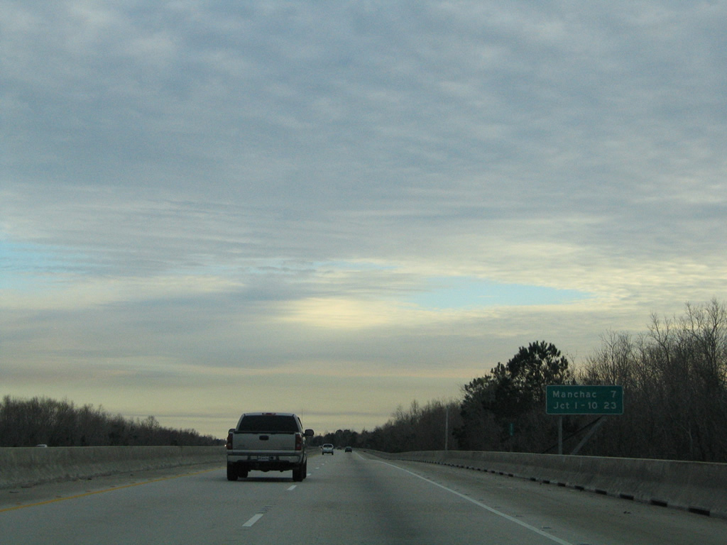
| Manchac is the next southbound exit in seven miles. I-55 ends in 23 miles at Interstate 10. 01/15/06 |
|
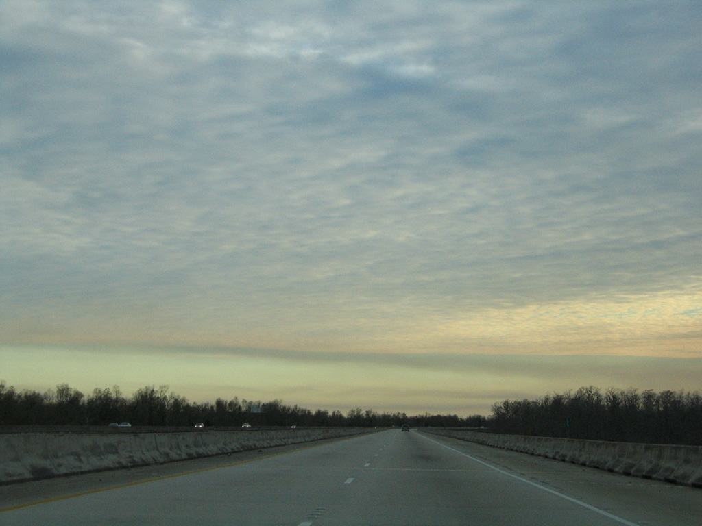
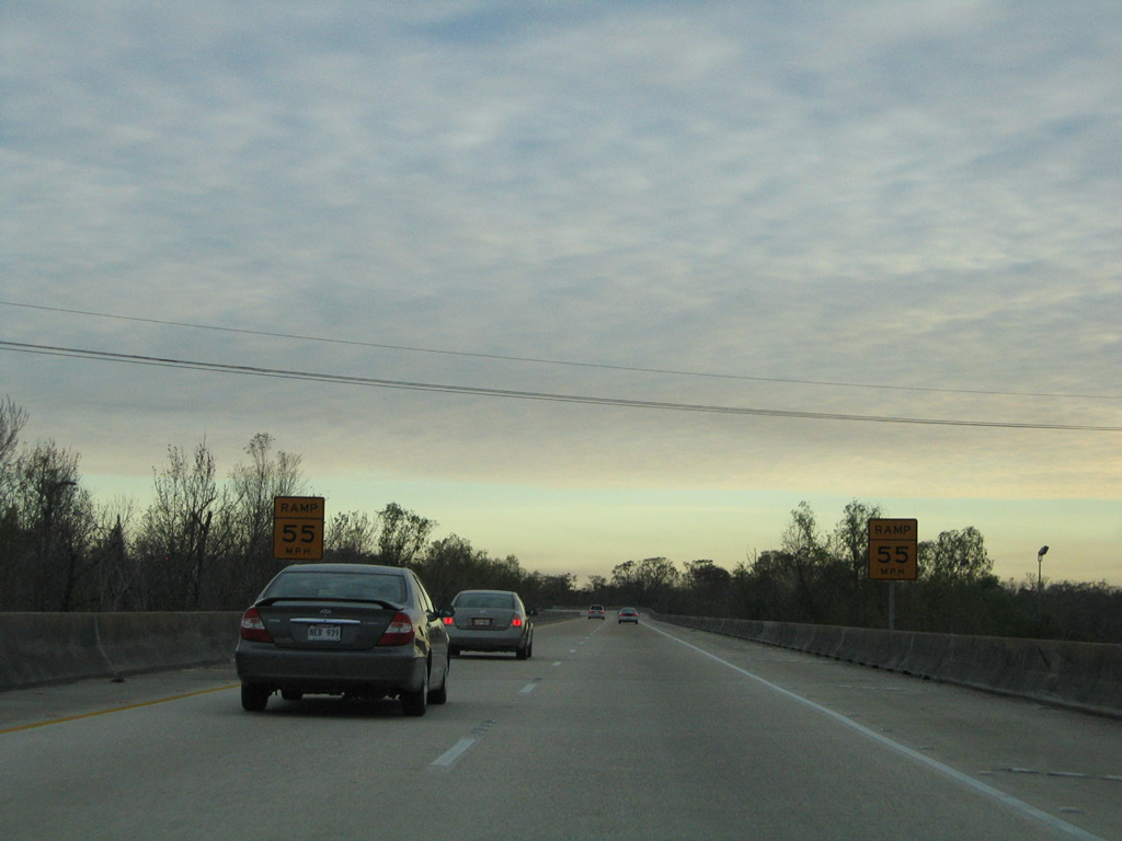
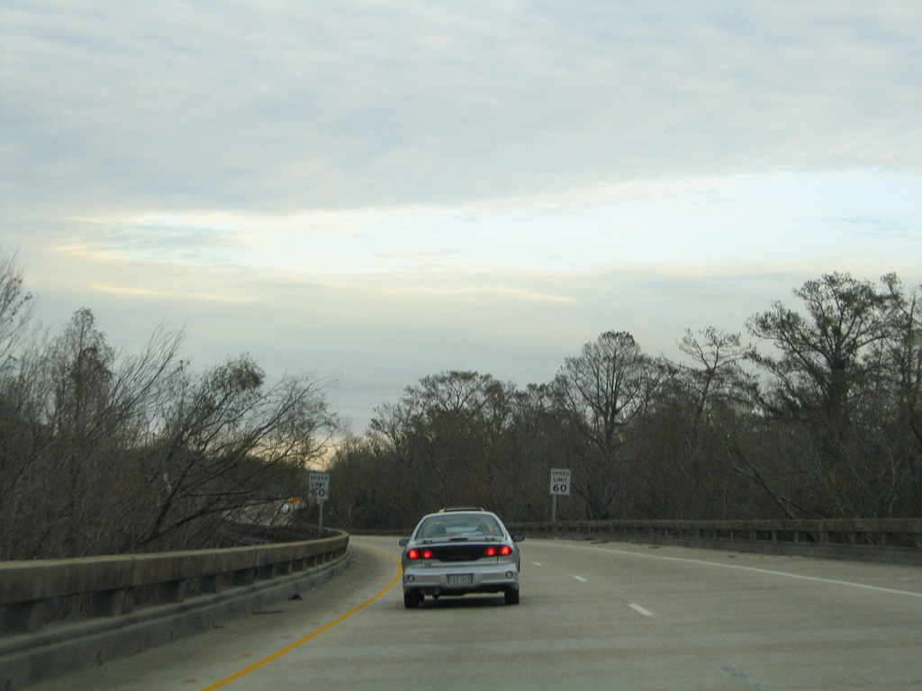
| Speed limits along I-55 through southern Tangipahoa Parish and St. John the Baptist Parish are 70 MPH. Between 1999 and December 22, 2003, they were reduced to 60 MPH as part of a statewide reduction in speeds on five elevated stretches of Interstate highway.2 01/15/06 |
|
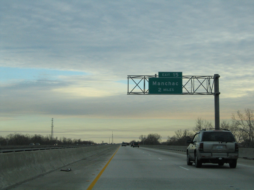
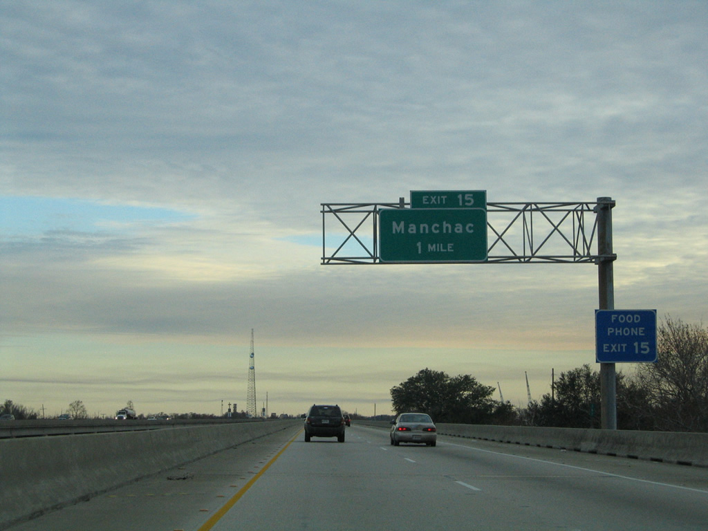
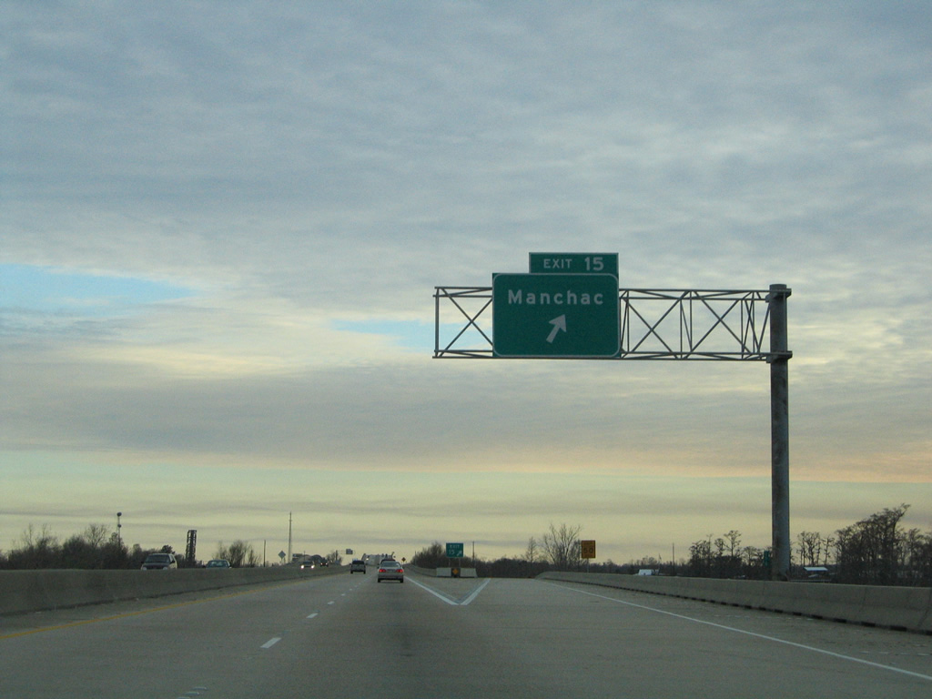
| Two miles north of the diamond interchange (Exit 15) at Manchac on I-55/U.S. 51 south. 01/15/06 |
|
| A seafood restaurant along old U.S. 51 at Pass Manchac is the lone food option along I-55 between Ponchatoula and Laplace. 01/15/06 |
|
| Exit 15 drops from Interstate 55 south onto a short connector road linking the freeway viaduct with parallel old U.S. 51. 01/15/06 |
|
| I-55/U.S. 51 rise to a height of 50 feet above Pass Manchac at the east end of Lake Maurepas. 01/15/06 |
|
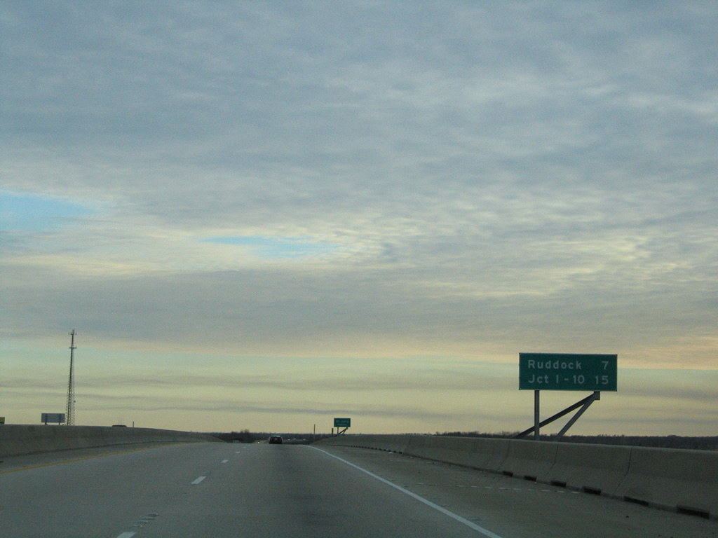
| 15 miles remain along Interstate 55. The ghost town of Ruddock is the succeeding southbound exit in seven miles. 01/15/06 |
|
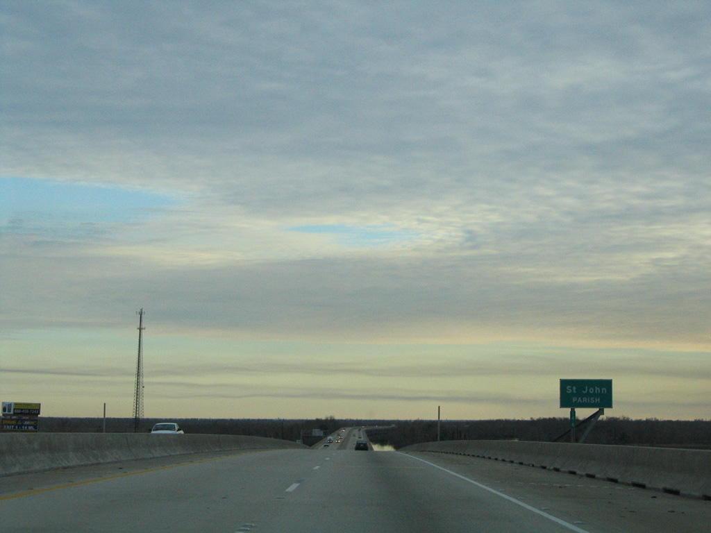
| Midway across the waterway separating Manchac and Galva is the St. John the Baptist Parish line. 01/15/06 |
|
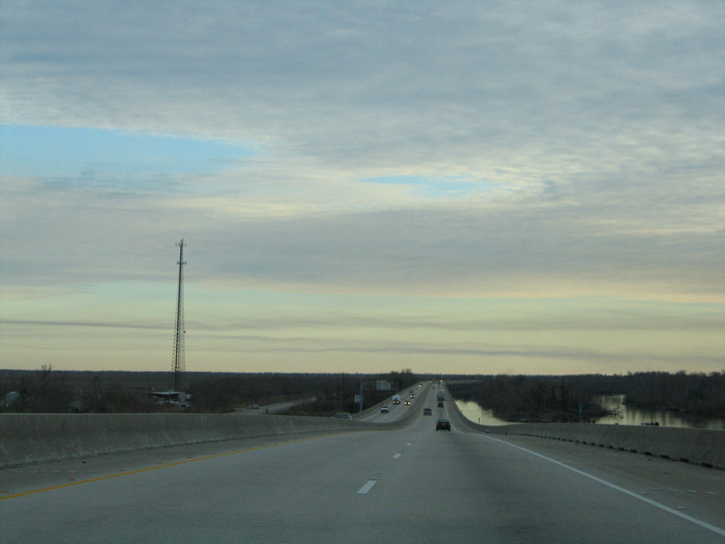
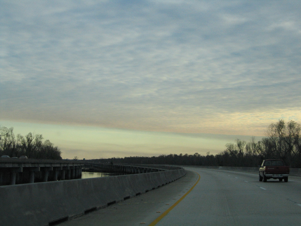
| Old U.S. 51 comes into view as I-55/U.S. 51 lower from the Manchac Pass bridge built in 1977. An unnamed canal parallels the freeway southward to Exit 1. 01/15/06 |
|
| Continuing south along the isthmus between Lakes Maurepas to the west and Lake Pontchartrain to the east. 01/15/06 |
|
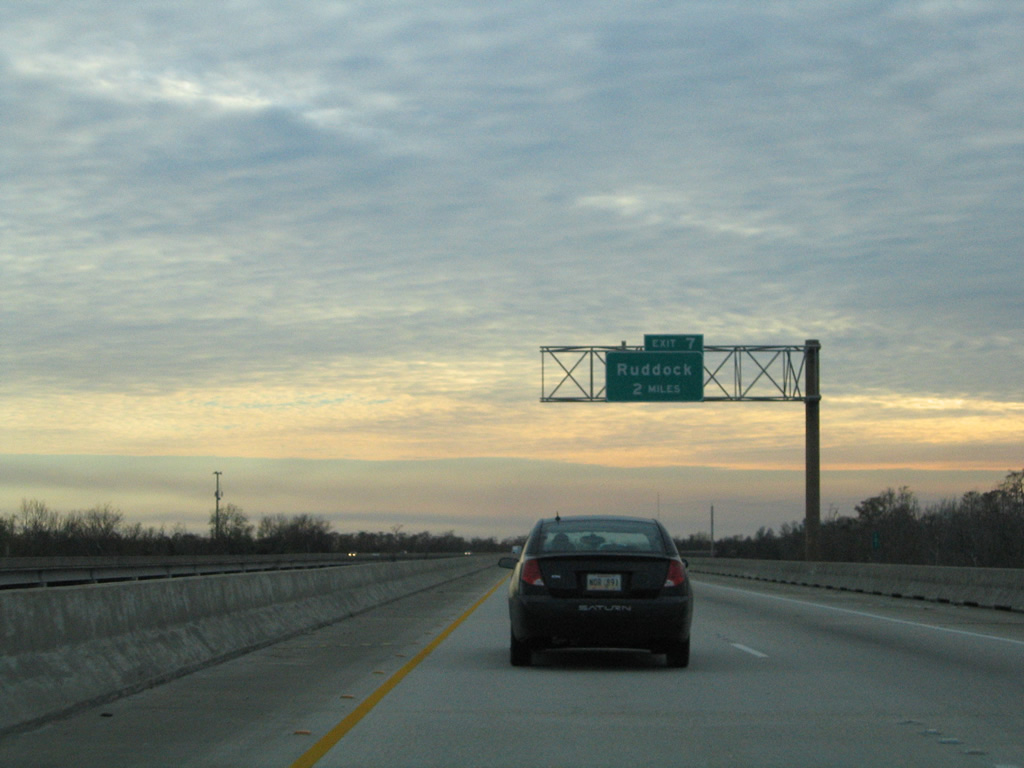
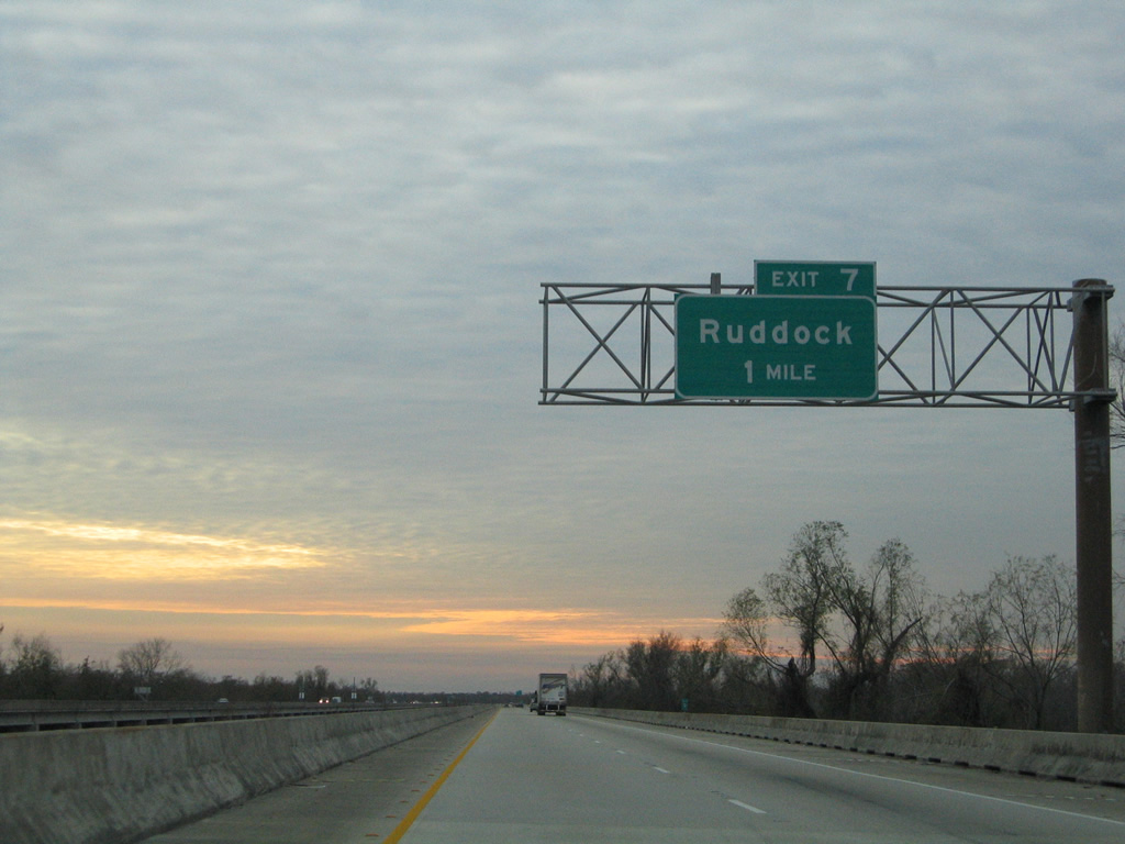
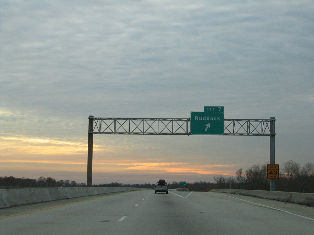
| A diamond interchange (Exit 7) and a short access road join I-55/U.S. 51 with old U.S. 51 at Ruddock in two miles. 01/15/06 |
|
| The Ruddock exit generally serves local fishing interests on area canals and otherwise provides an alternate route to Interstate 55 south to Laplace. 01/15/06 |
|
| Southbound I-55/U.S. 51 at the Exit 7 to Ruddock. Ruddock was a town of 700 in 1910 based upon a sawmill and the Ruddock Cypress Company. A hurricane destroyed the community in 1915.3 01/15/06 |
|
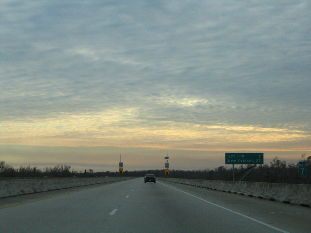
| The final southbound shield of Interstate 55, posted 957 miles south of the route beginning at Lakeshore Drive in Chicago. 01/15/06 |
|
| New Orleans reappears on the final distance sign at 27 miles out via Interstate 10 east. 01/15/06 |
|
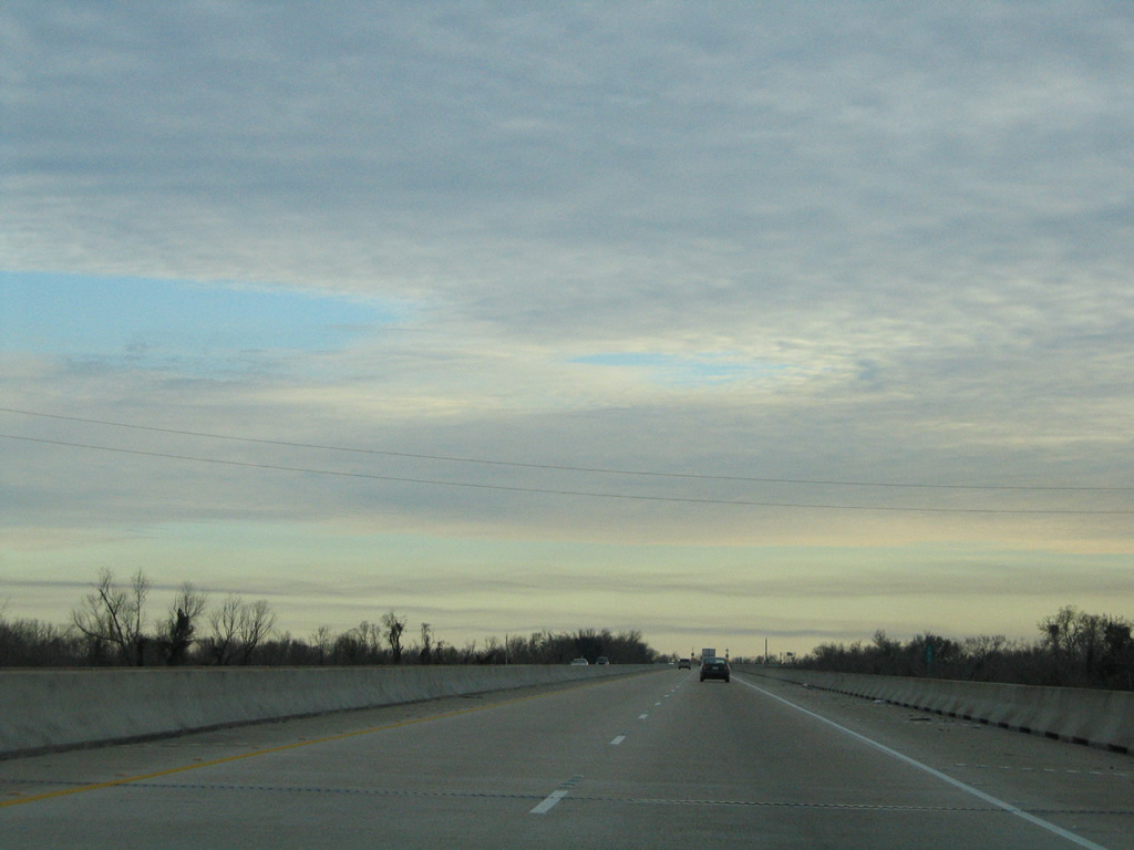
| Interstate 55 shifts course four times between Ruddock and Laplace. The freeway was initially built in 1960 as a two lane roadway, with four-laning completed by 1975. 01/15/06 |
|
| Old U.S. 51 and Interstate 55 come together at a half diamond interchange (Exit 1). U.S. 51 separates from the freeway for Laplace and the south end at U.S. 61 (Airline Highway). 01/15/06 |
|
| There is no direct access onto Interstate 10 west from I-55 south. Instead motorists are directed onto U.S. 51 south from Exit 1 to the adjacent diamond interchange along I-10 at Exit 209. 01/15/06 |
|
| U.S. 51 shifts westward onto an arterial three miles to U.S. 61. U.S. 51 historically joined U.S. 61 (Airline Highway) east into New Orleans. 01/15/06 |
|
| The two southbound lanes of I-55 default onto Interstate 10 east ahead of St. Charles Parish and the Bonnet Carre Spillway. 01/15/06 |
|
| The wye interchange at the south end of I-55 marks the beginning of a ten mile exit less stretch along Interstate 10 east to I-310 and Kenner. 01/15/06 |
Page Updated 07-01-2023.


 South
South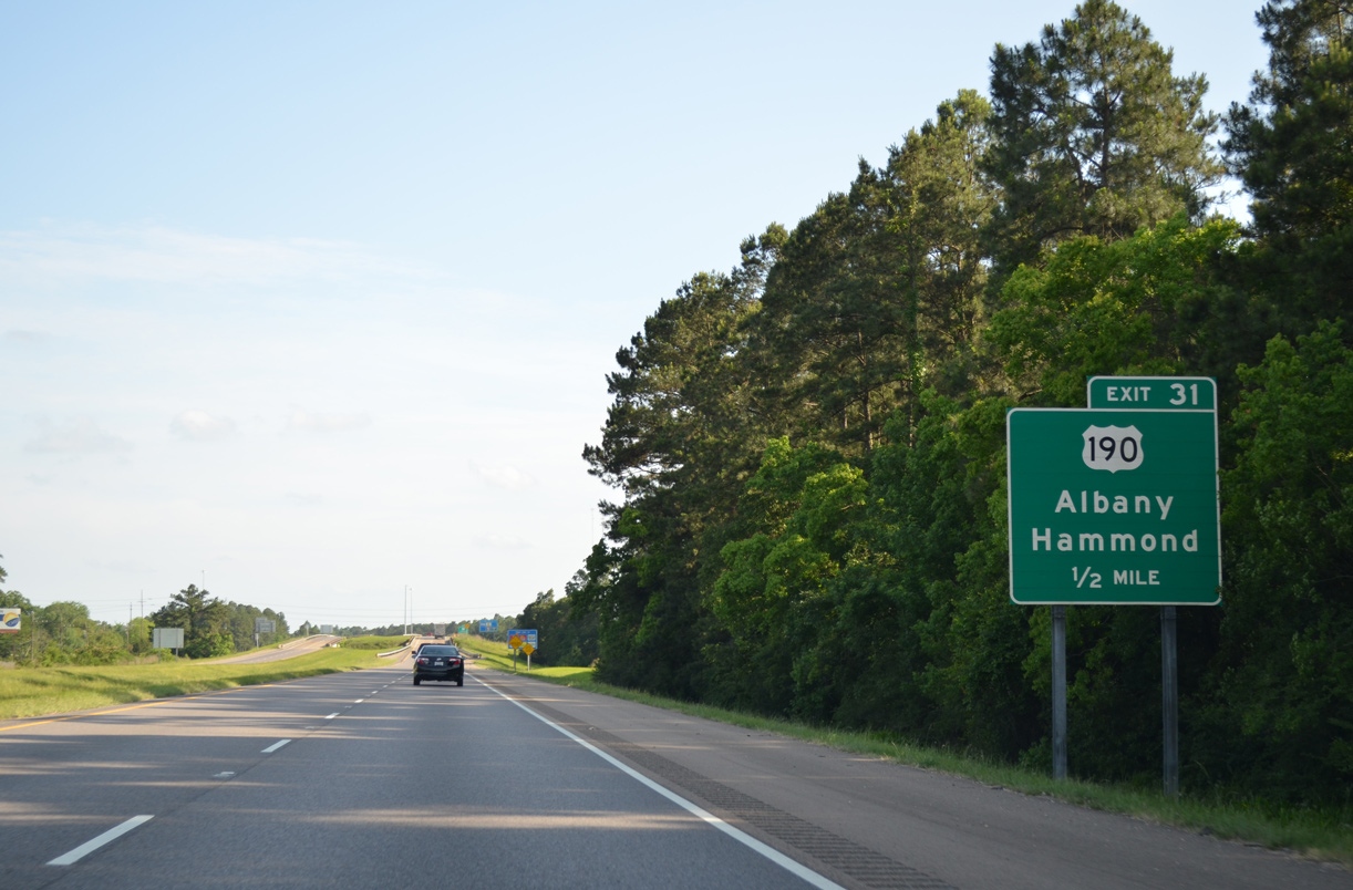
 South
South