|
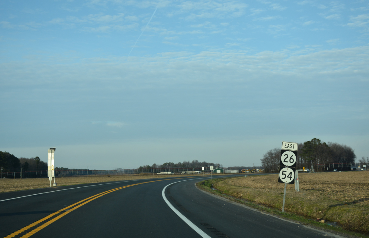
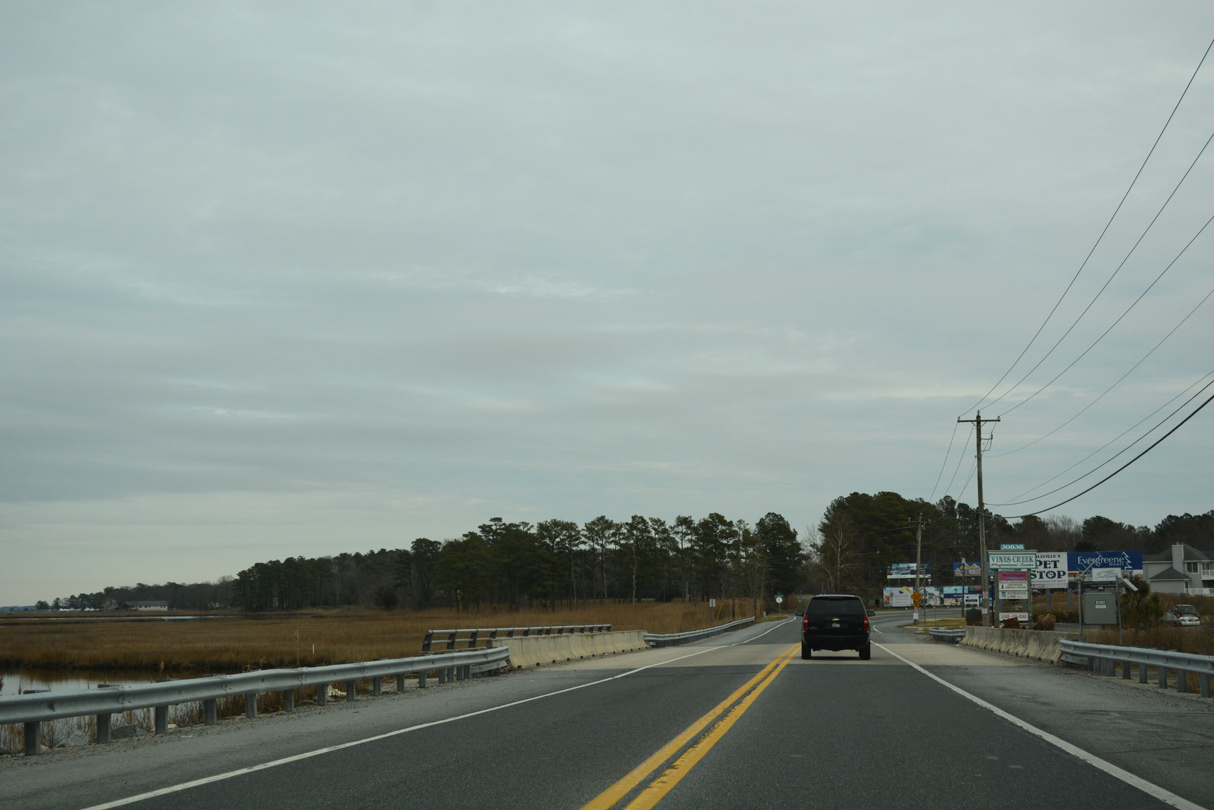
| Angling northeast along Millsboro Highway, SR 54 combines with the eastbound beginning of SR 26 to Gumboro. 01/15/17 |
|
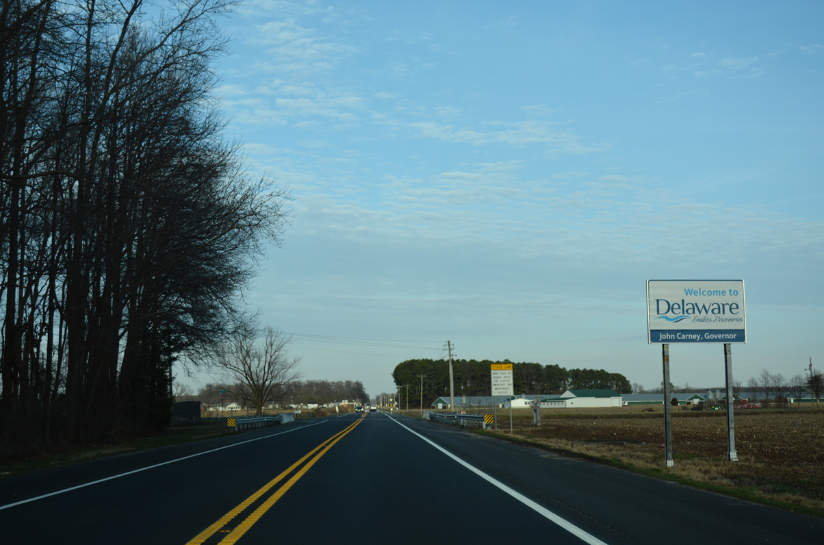
| A welcome to Delaware sign follows as Millsboro Highway crosses the North Fork of Green Run. 01/15/17 |
|
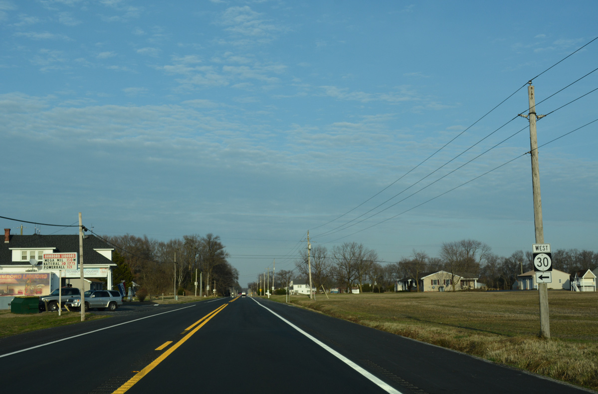
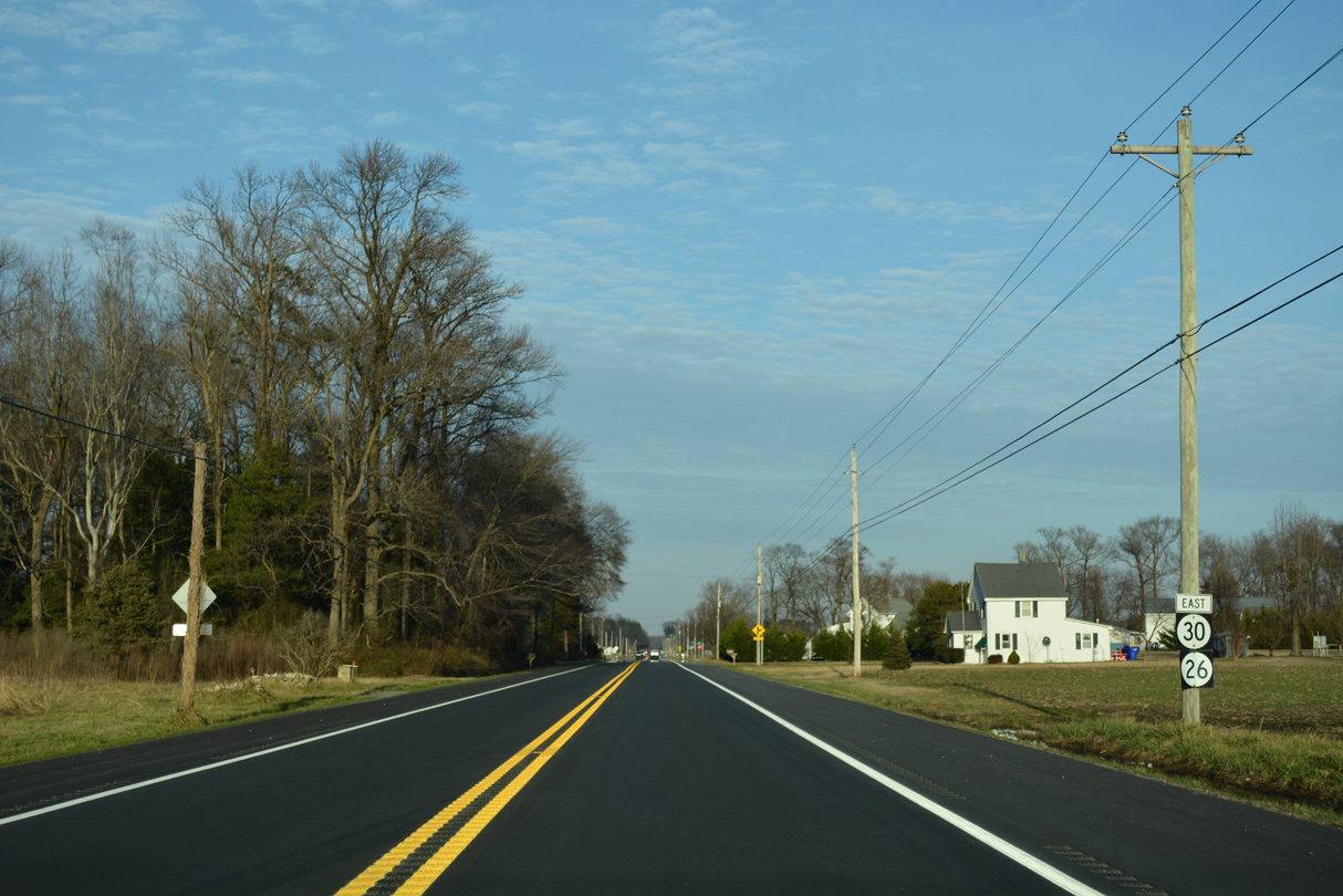
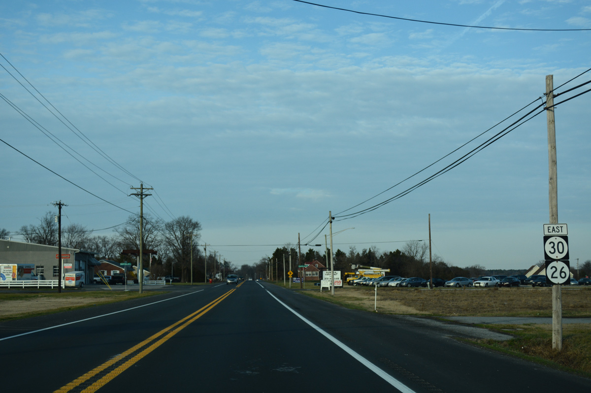
| SR 30 previously tied into SR 26/54 from Whitesville Road east, 0.83 miles north of the state line. Dropped as a state route in Summer 2022, SR 30 followed a rural route west to U.S. 13 (Sussex Highway), midway between Delmar and Laurel, through Ward and Smith Hill. 01/15/17 |
|
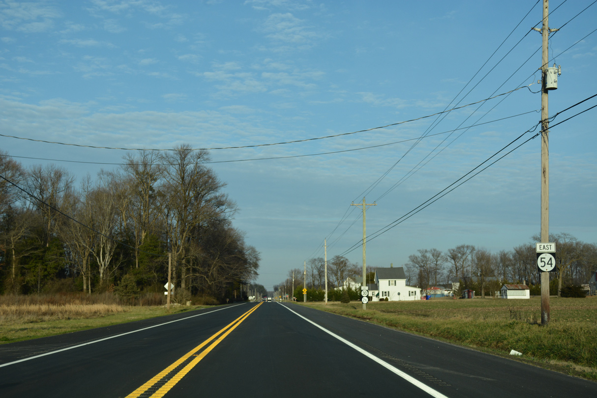
| Confirming markers for what was a 1.53 mile long overlap taking SR 30 alongside SR 26/54 appeared as Millsboro Highway continues northeast into the community of Gumboro. 01/15/17 |
|
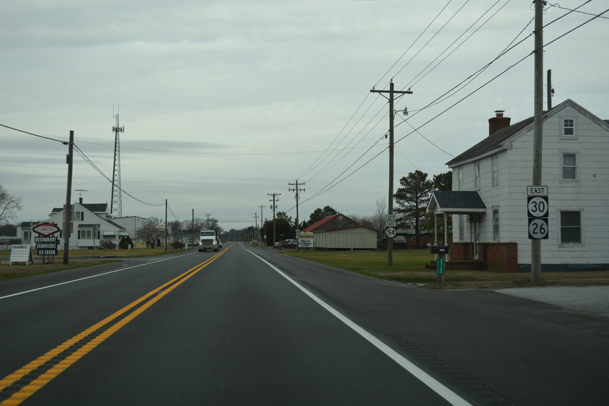
| The speed limit reduces to 35 miles per hour as SR 26/54 (Millsboro Highway) east enter unincorporated Gumboro. 01/16/17 |
|
| SR 54 partitions with SR 26 (Millsboro Highway) for Cypress Road east at Gumboro. 01/15/17 |
|
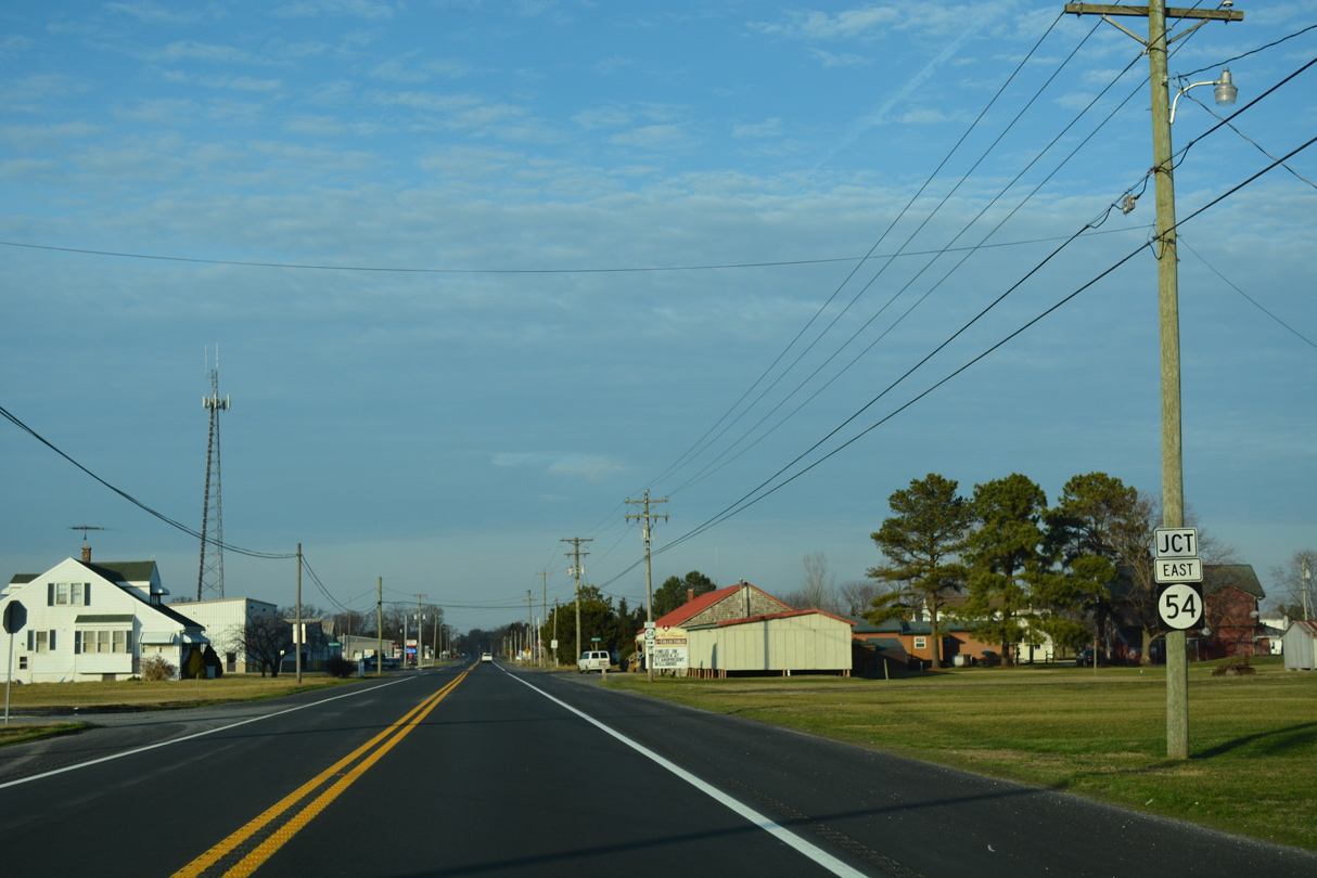
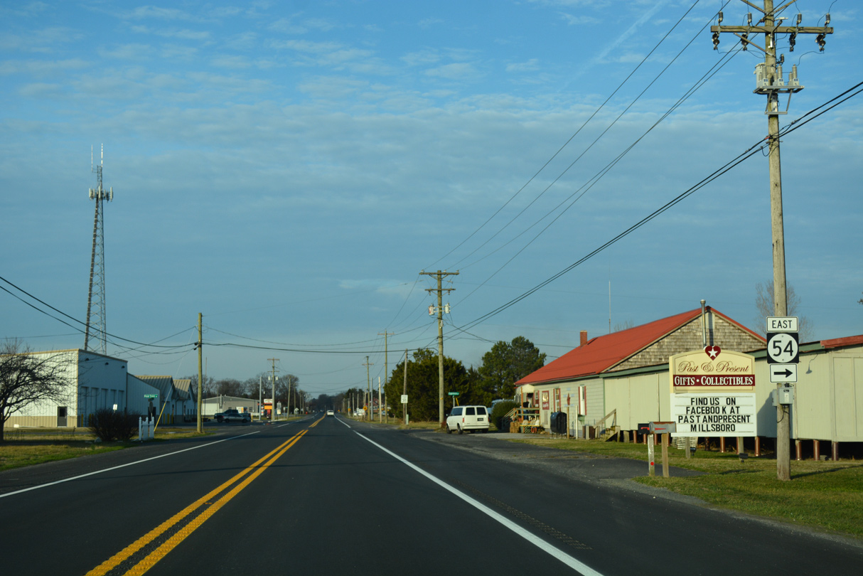
| SR 54 meanders east across agricultural areas of Little Newfound and Big Newfound Necks to Cypress Swamp and U.S. 113 at Selbyville. SR 26 (Millsboro Highway) remains north to Shaft Ox Corner and respective routes to Dagsboro and Millsboro. 01/15/17 |
|
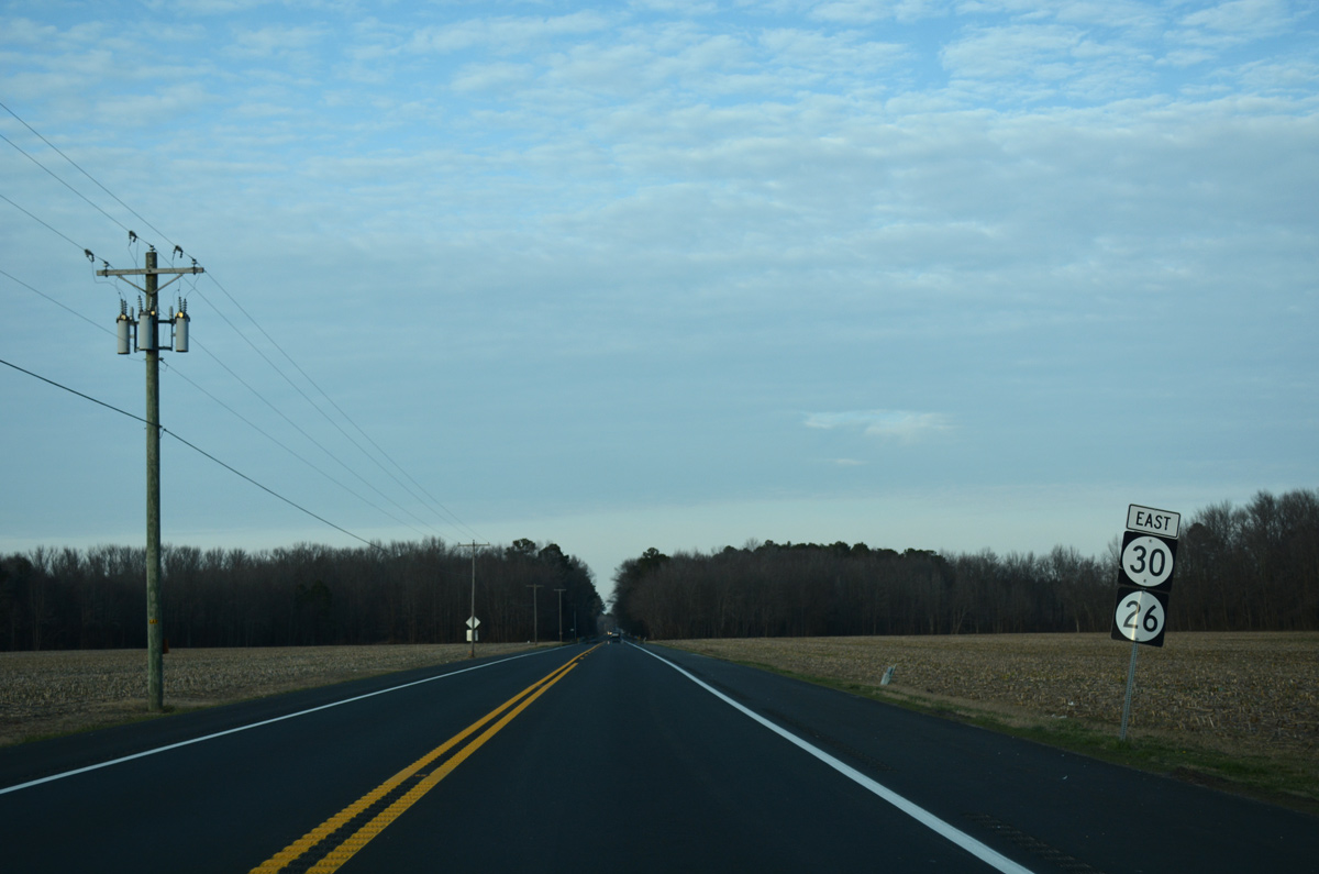
| Until Summer 2022, SR 30 continued alongside SR 26 for another 3.31 miles along Millsboro Highway north from Gumboro. 01/15/17 |
|
| Lowes Crossing Road arcs northwest from SR 26 at Bald Branch Road to SR 24 at Lowes Crossroads ahead of this shield assembly. 01/15/17 |
|
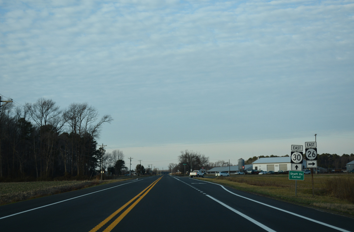
| SR 26 (Nine Foot Road) partitions with Millsboro Highway (old SR 30) at Shaft Ox Corner. The state route continues east to Bethany Beach through Dagsboro, Millville and Ocean View while Millsboro Highway northeast to Millsboro. 01/15/17 |
|
| SR 26 follows Clayton Avenue east from U.S. 113 into the town of Dagsboro. 06/18/12 |
|
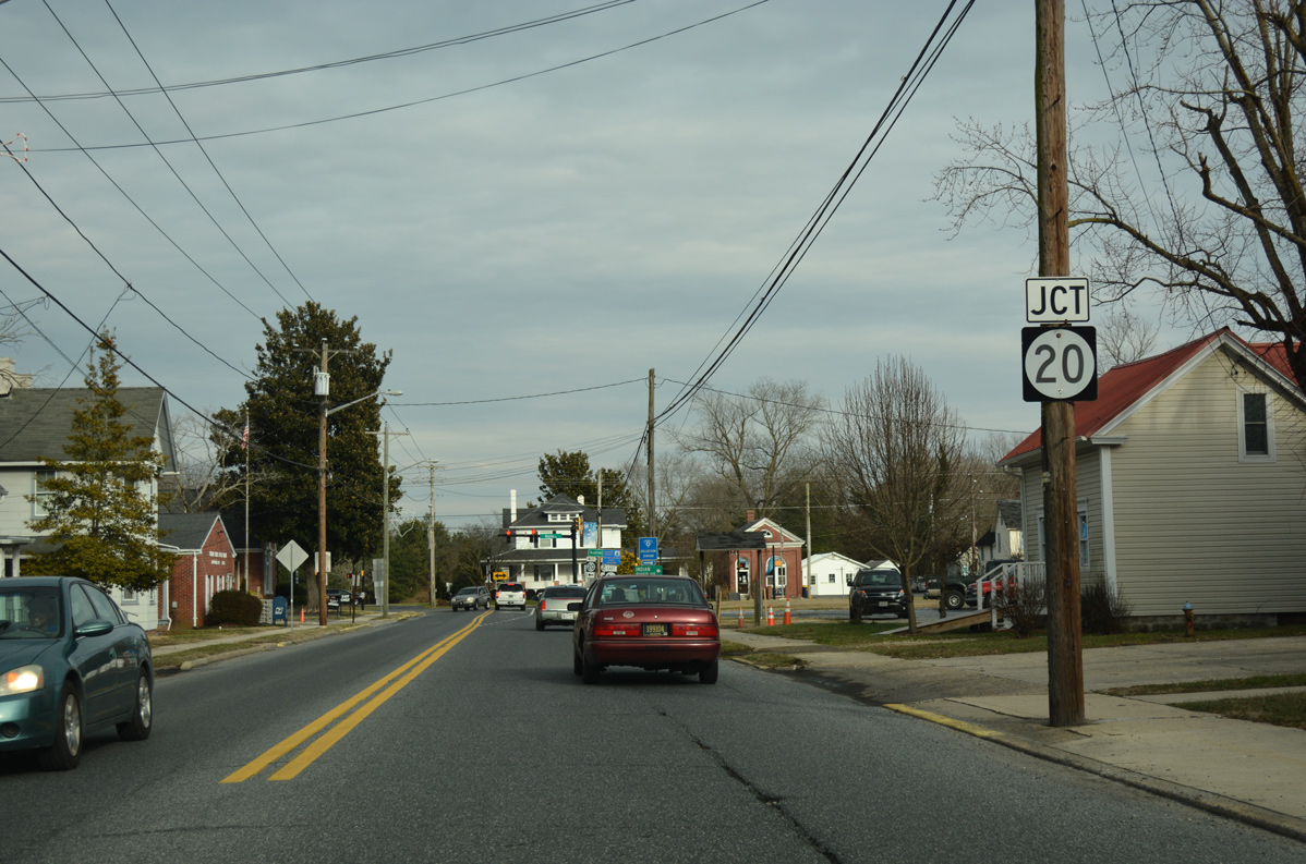
| Approaching SR 20 (Main Street) on SR 26 east in Dagsboro. 42.75 miles overall, SR 20 travels the width of Sussex County from Reliance, Maryland to Fenwick Island. 06/18/12 |
|
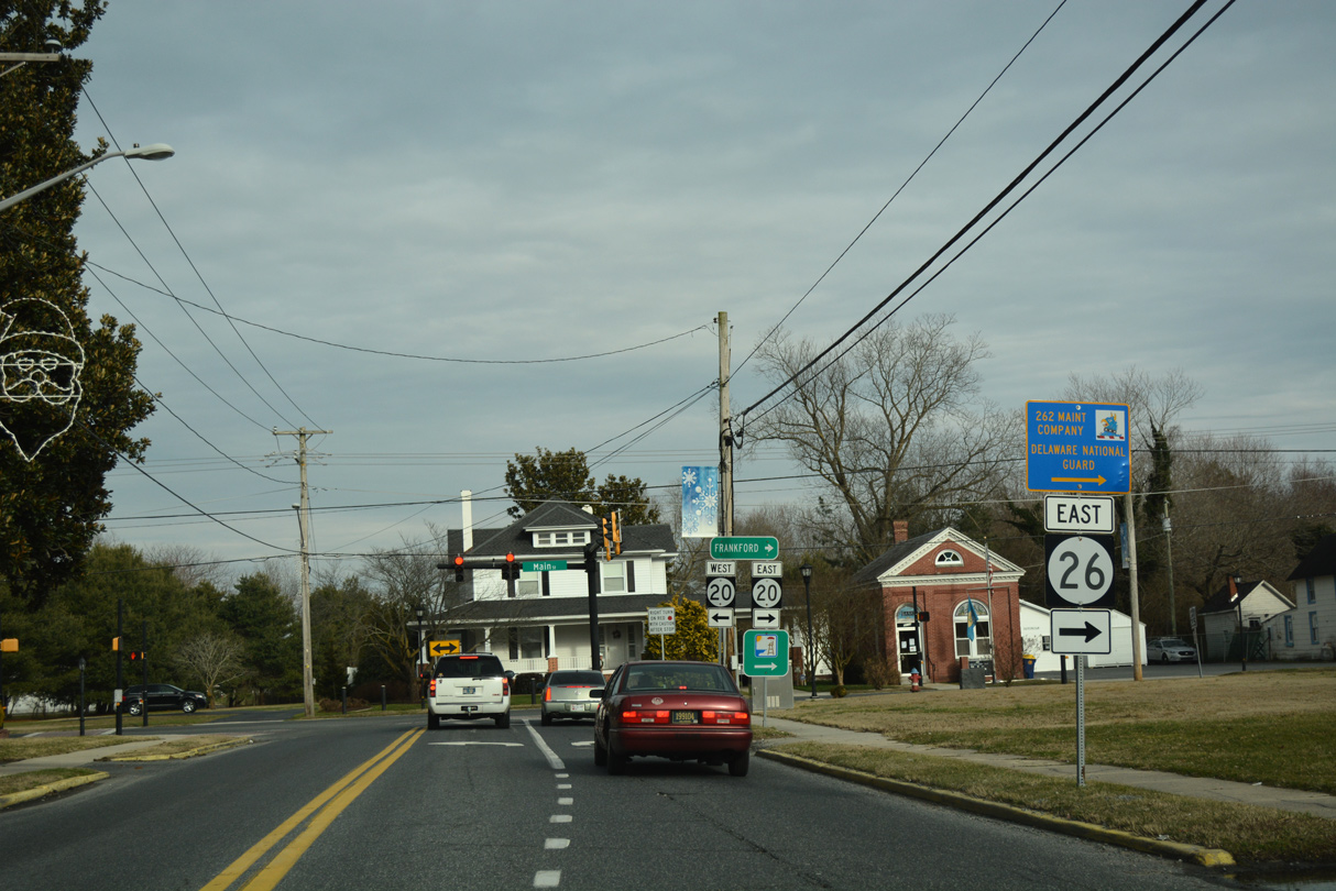
| SR 20/26 combine along Main Street south and Vines Creek Road east in Dagsboro for 0.53 miles. 06/18/12 |
|
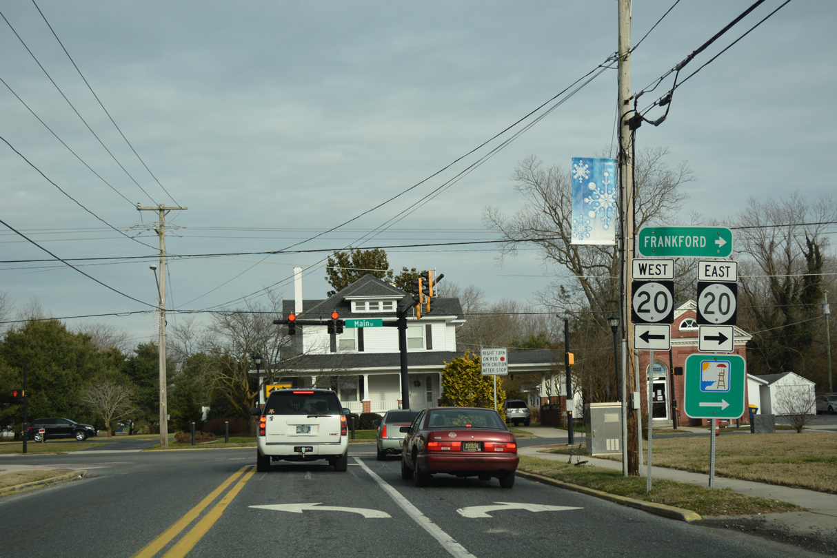
| A beaches trailblazer accompanies the sign assembly where SR 26 turns from Clayton Street to Main Street. Main Street connects Dagsboro with the adjacent town of Frankford to the south. SR 20 follows Main Street north to Dagsboro Road and U.S. 113. 06/18/12 |
|
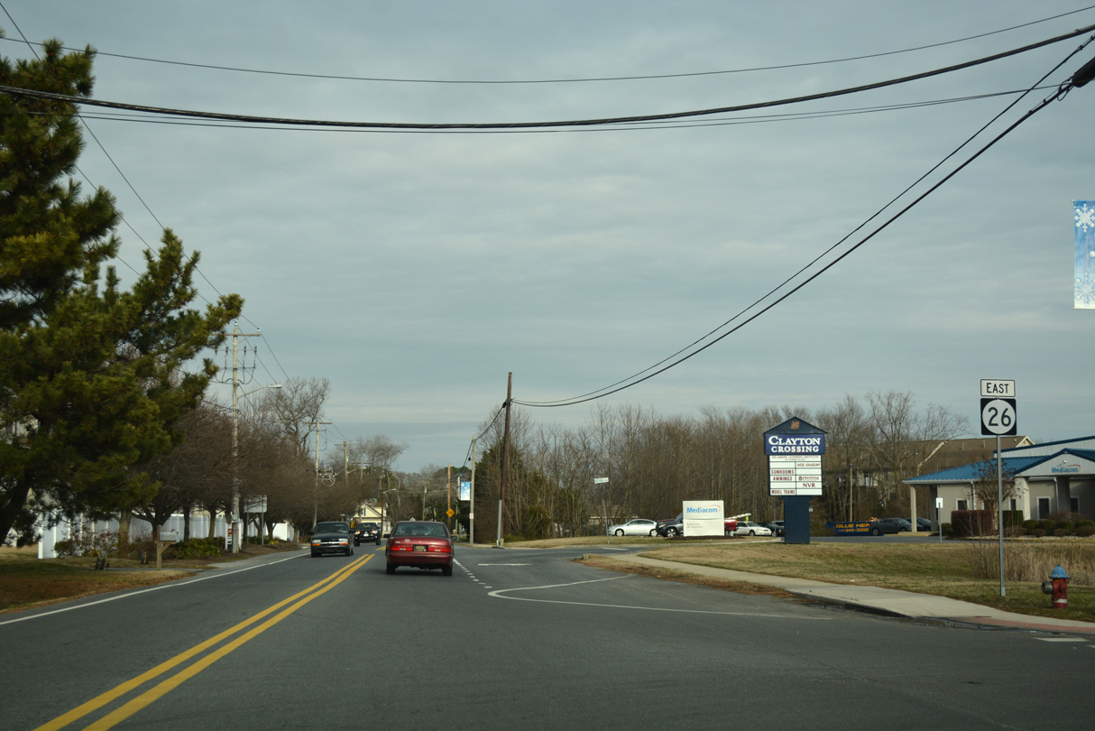
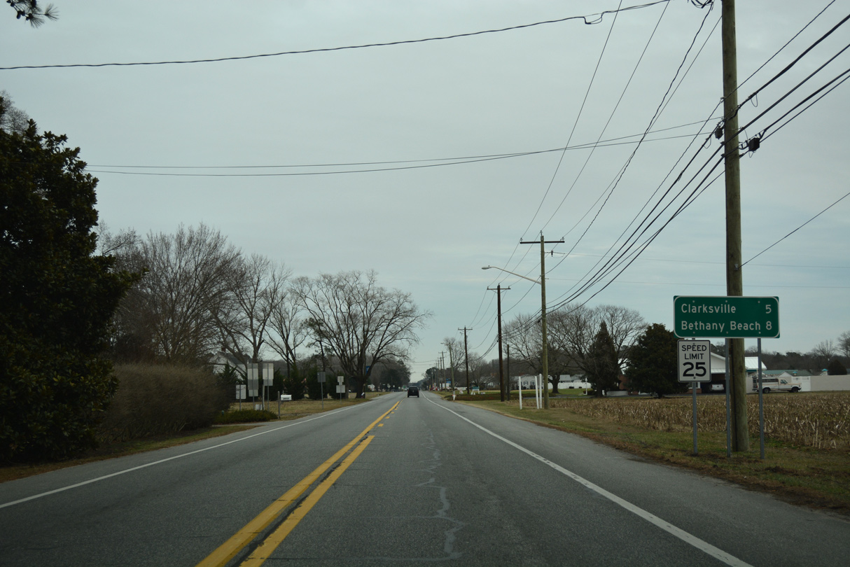
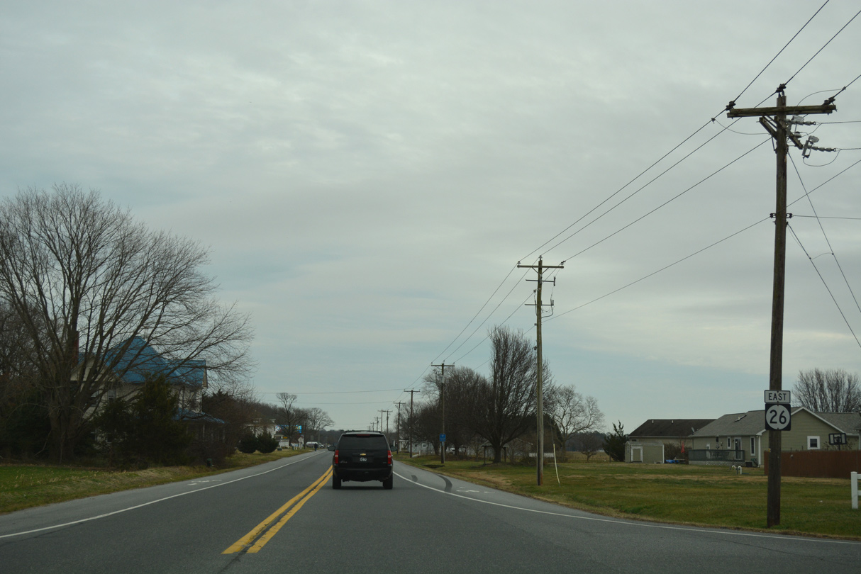
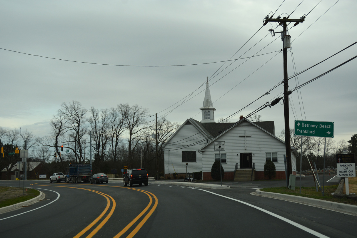
| Continuing east beyond the split with SR 20, SR 26 (Vines Creek Road) vacates the town of Dagsboro for a rural drive five miles to Clarksville and a terminus at Bethany Beach in eight miles. 01/16/17 |
|
| SR 26 ventures east across Dumpling Neck to a 1990-built bridge across Vines Creek. Vines Creek flows north into the open waters of Indian River Bay. 01/16/17 |
|
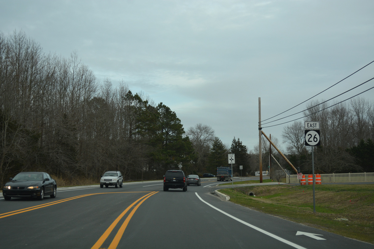
| The state route curves south from Vines Creek to intersect Wingate Road at this reassurance marker. 01/16/17 |
|
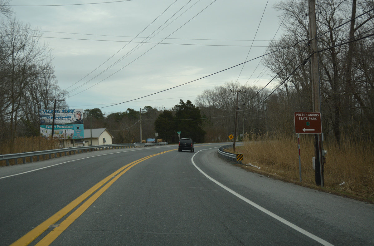
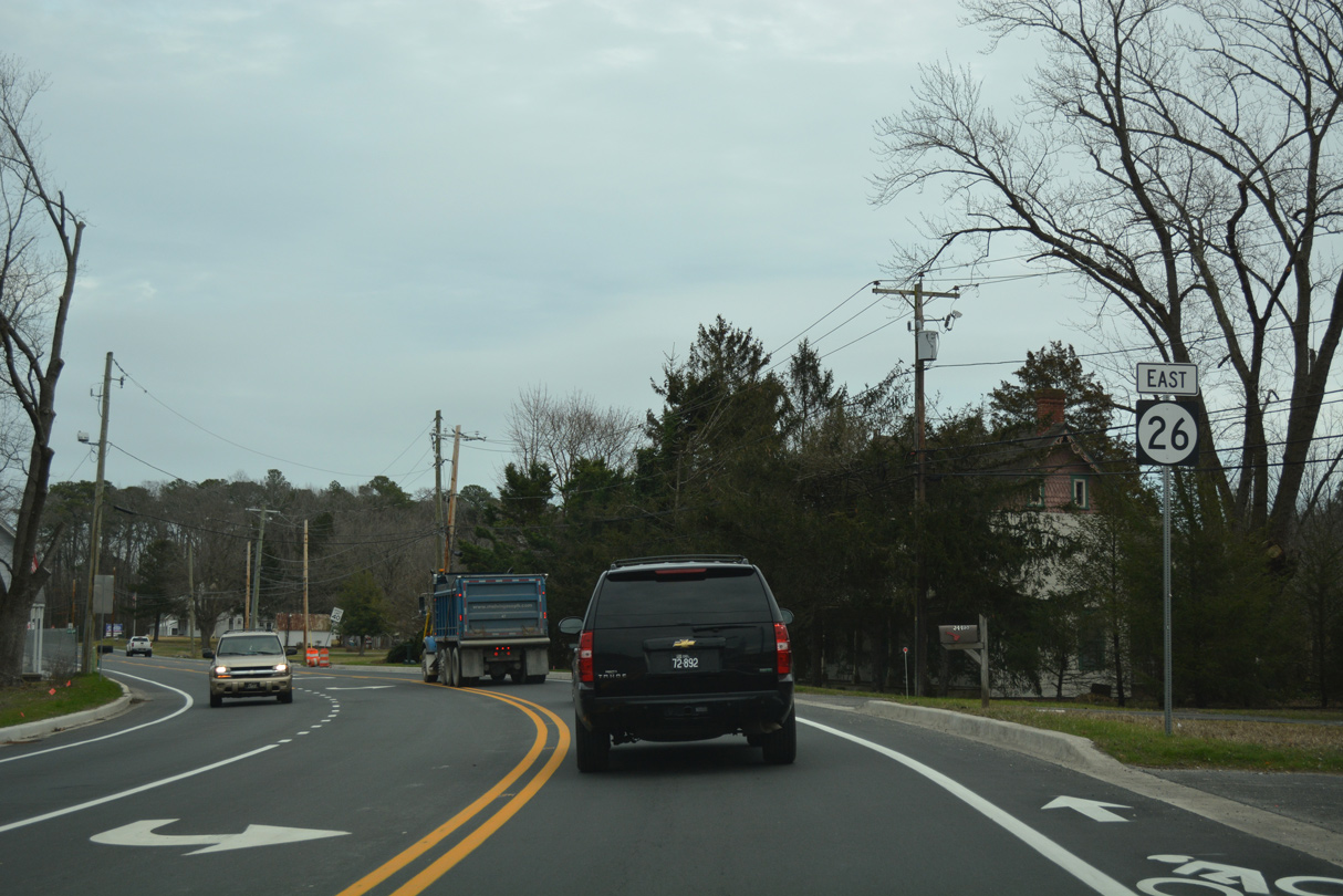
| Advancing east over Champlin Neck to Blackwater Creek, SR 26 (Vines Creek Road) makes a gradual curve southward to Clarksville. Holts Landing Road angles northeast from Omar Road to cross the state route ahead of White Neck and Holts Landing State Park on Indian River Bay. 01/16/17 |
|
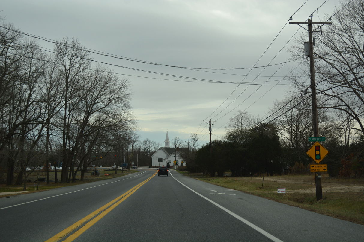
| SR 26 transitions from Vines Creek Road onto Atlantic Avenue at the community of Clarksville. 01/16/17 |
|
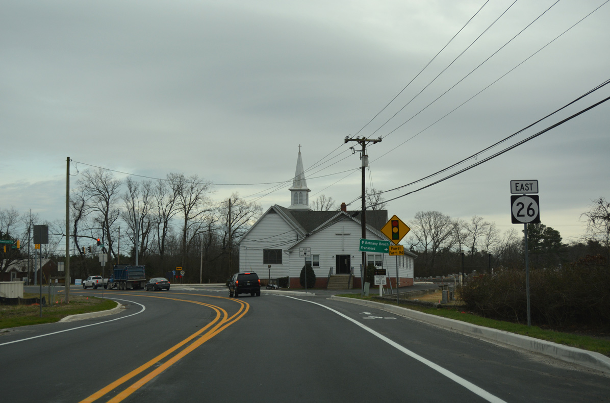
| A reassurance marker precedes the intersection with Powell Farm Road south at Clarksville. 01/16/17 |
|
| Omar Road ties into Powell Farm Road to the immediate south. Omar Road west takes motorists back to the town of Frankford while Powell Farm Road travels south to SR 17 (Roxana Road). 01/16/17 |
|
| 2014-16 widening of SR 26 to a three-lane boulevard between Clarksville and Bethany Beach reconfigured the intersection with Powell Farm Road to eliminate the acute angle in which both roads met. 01/16/17 |
|
| The expansion project of SR 26 (Atlantic Avenue) added a continuous center turn lane and bike lanes in both directions. 01/16/17 |
|
| Another shield for SR 26 stands along Atlantic Avenue east of Clarksville at Irons Lane. 01/16/17 |
|
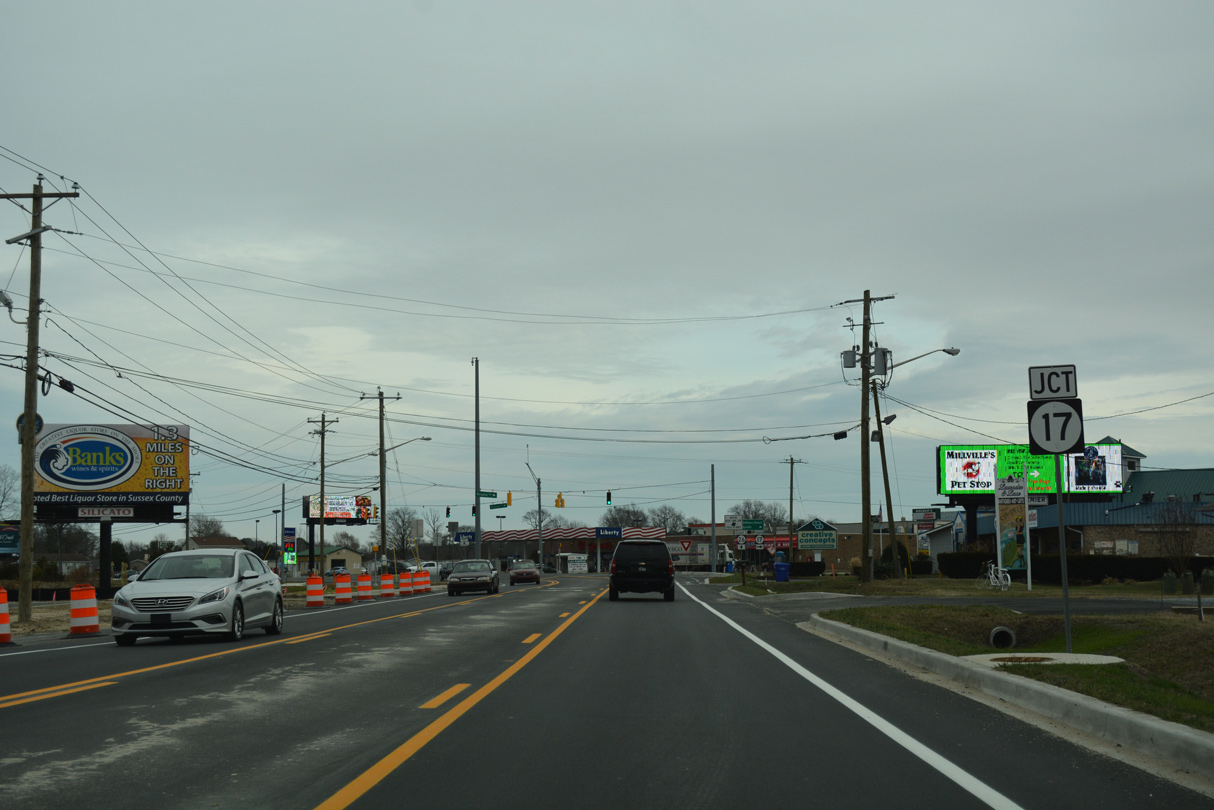
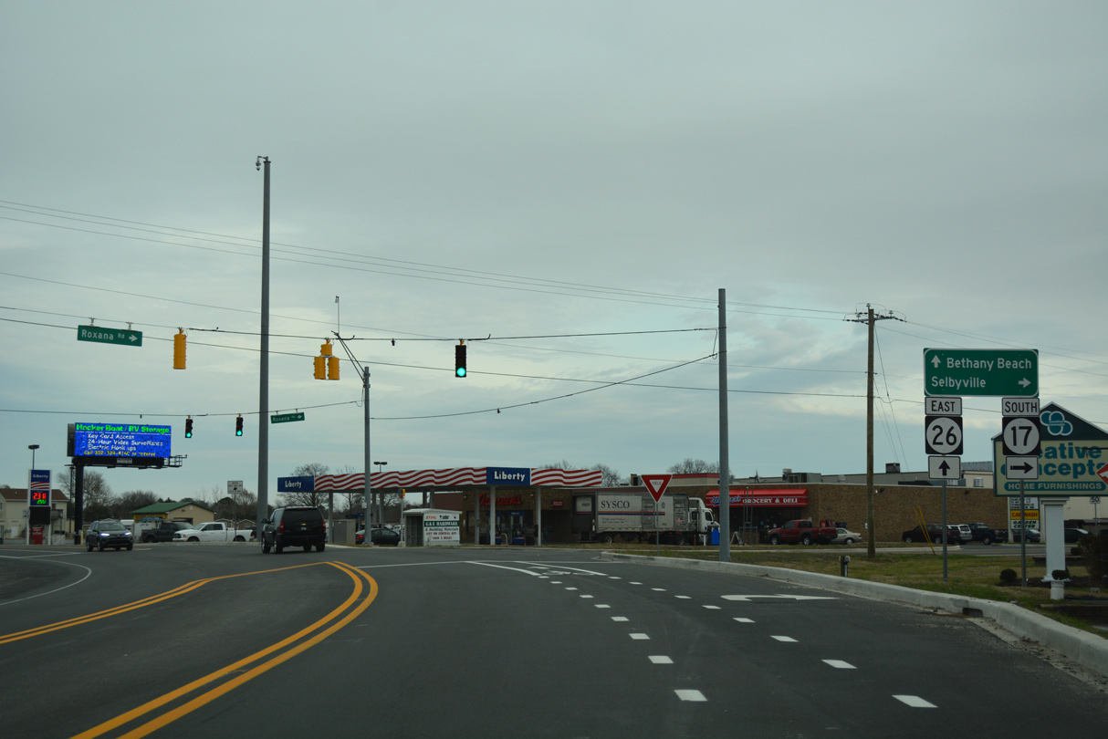
| The subsequent eastbound traffic light joins SR 26 (Atlantic Avenue) with the north end of SR 17 (Roxana Road). 01/16/17 |
|
| SR 17 connects the west side of Millville with Roxana and Selbyville along an 8.30 mile route to SR 54. 01/16/17 |
Page Updated 01-31-2017.


 East
East