|
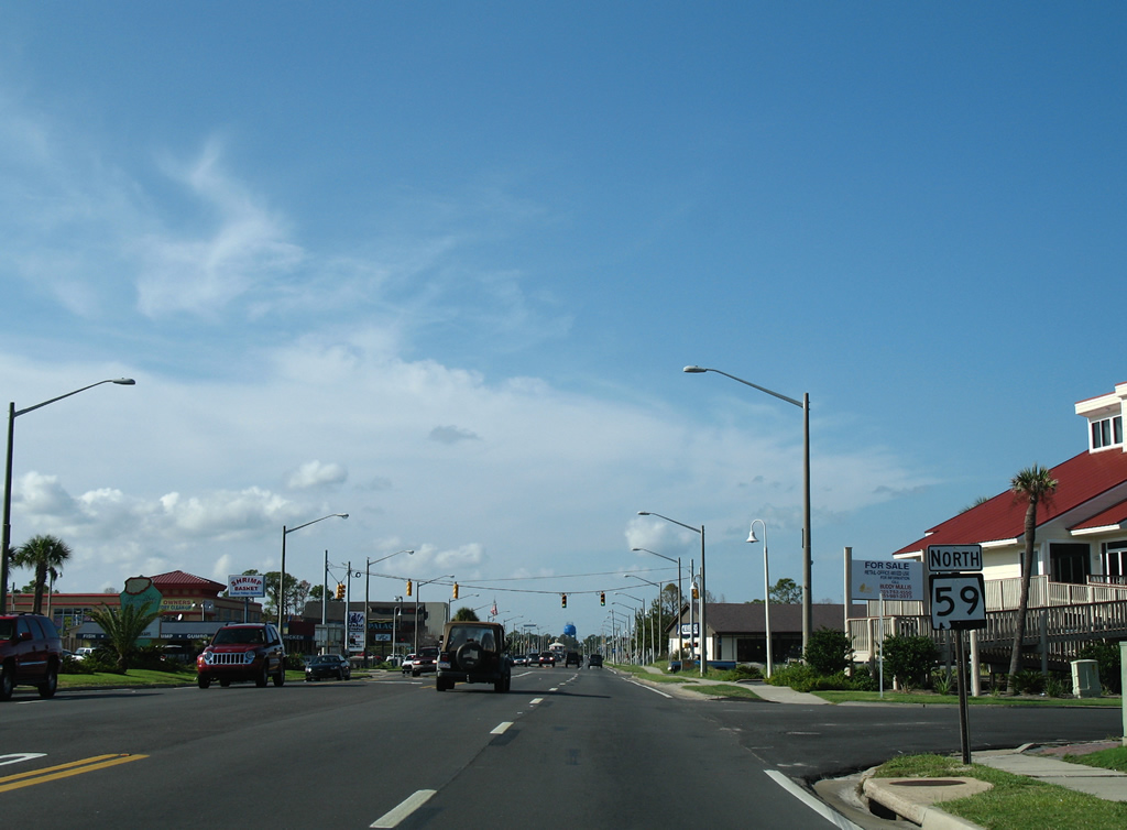
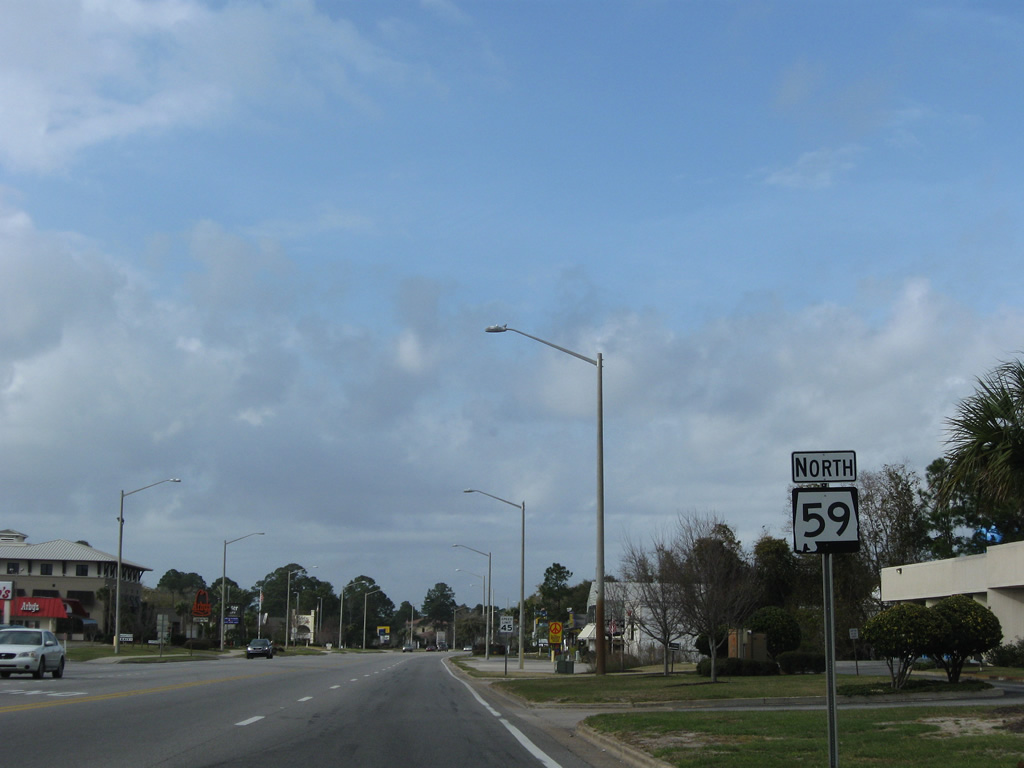
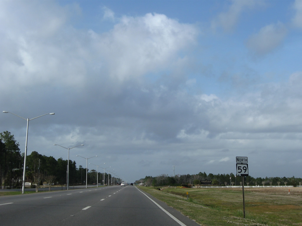
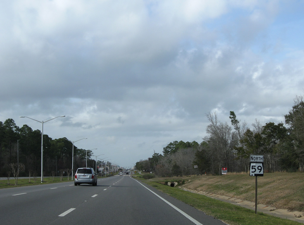
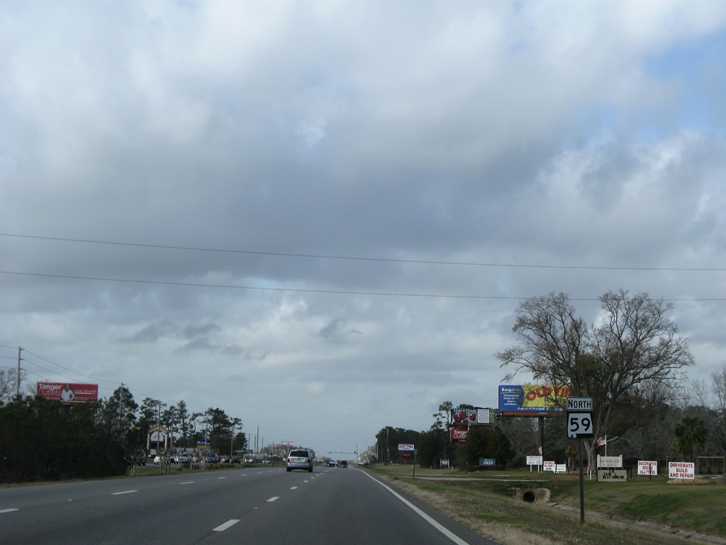
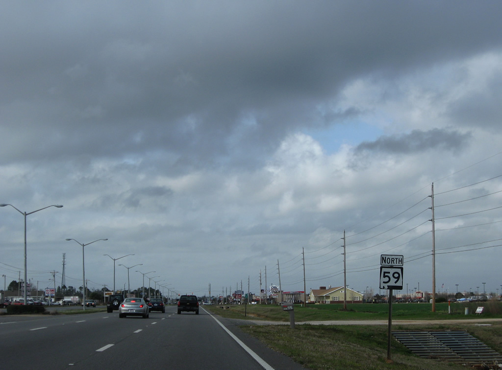
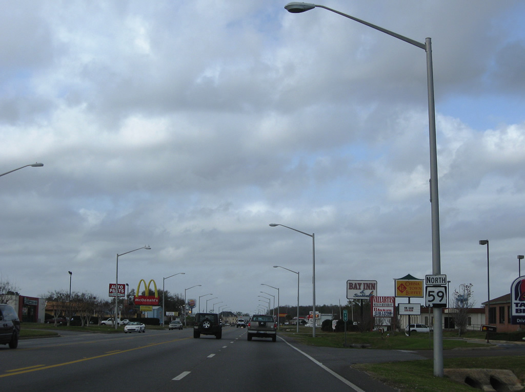
| The first northbound shield for SR 59 stands between SR 182 (Beach Boulevard) and 1st Avenue in Gulf Shores. 08/01/06 |
|
| 2nd Avenue lines the north end of the residential area of Gulf Shores east of SR 59 to East 4th Street. West from the traffic light at SR 59, the street curves to form West 1st Street by a canal. 08/01/06 |
|
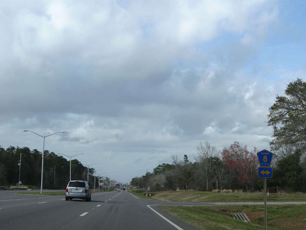
| Windmill Ridge Road stems west from SR 59 (Gulf Shores Parkway) at the next traffic light. Windmill Ridge Road angles southwest to become West 6th Street to SR 182 (West Beach Boulevard). 03/08/09 |
|
| SR 59 crosses a small canal (Little Lagoon) between Windmill Ridge Road and West 8th Avenue alongside Gulf State Park. This bridge was built in 1975. 03/08/09 |
|
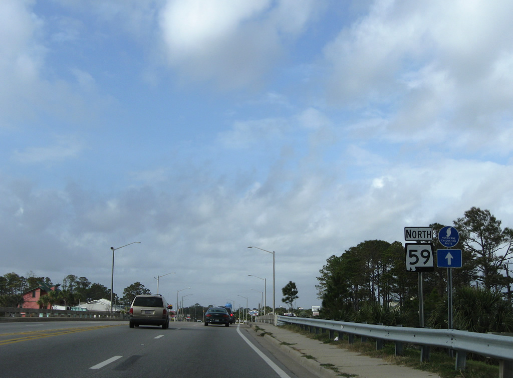
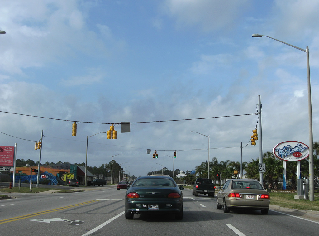
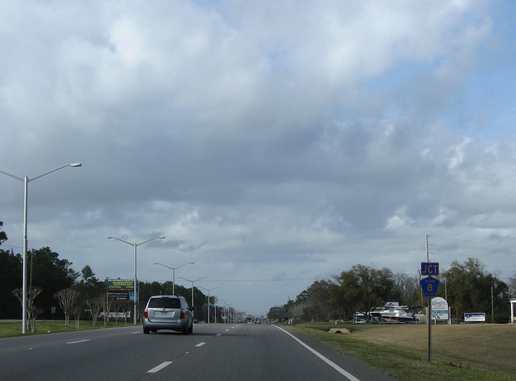
| West 8th Avenue and the entrance to Waterville USA come together at SR 59 north of Little Lagoon. 03/08/09 |
|
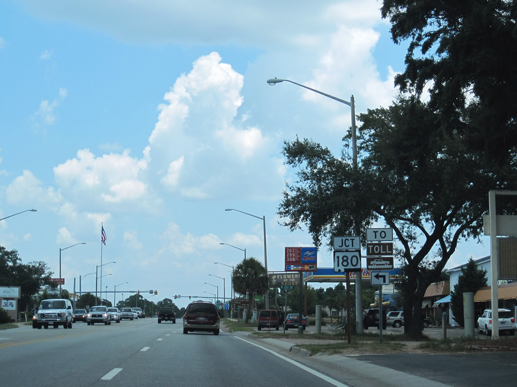
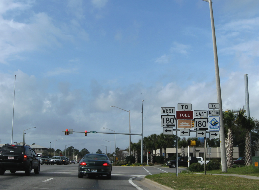
| SR 180 shield posted one mile north of SR 182 on Gulf Shores Parkway northbound. SR 180 comprises a 32.2 mile long east-west route between the Fort Morgan State Historic Site and Caswell in Orange Beach. 07/31/10 |
|
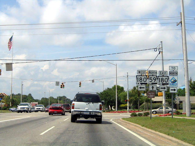
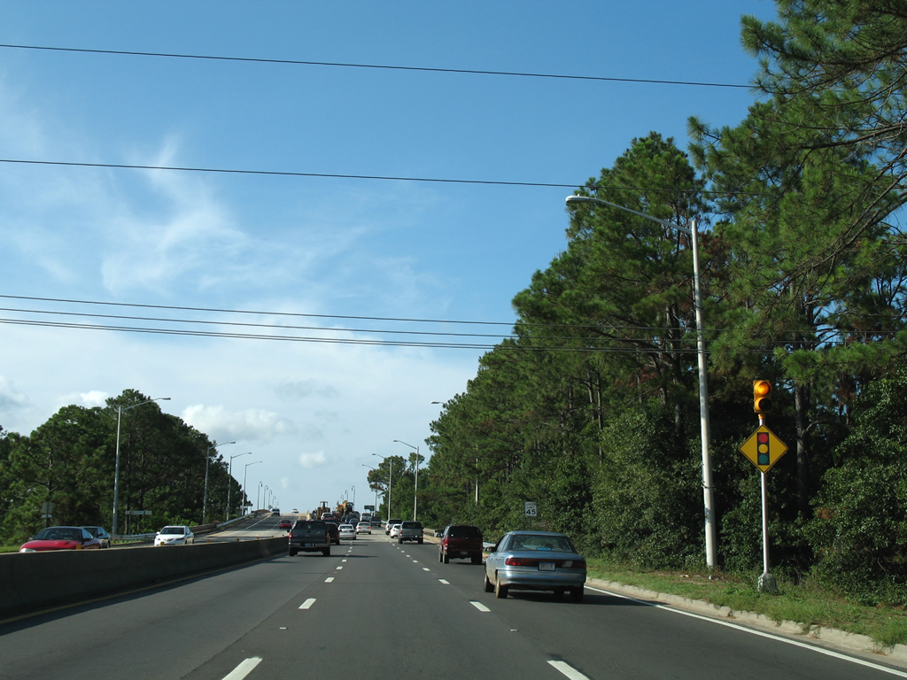
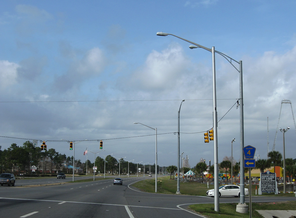
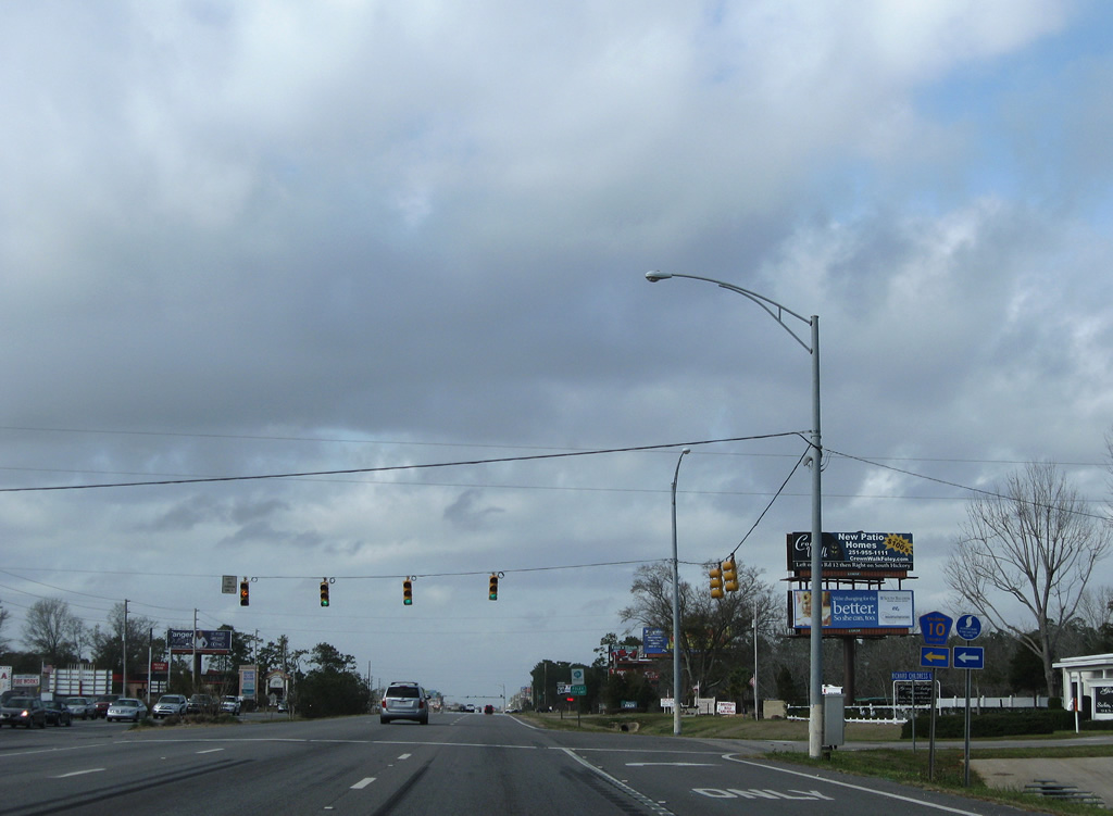
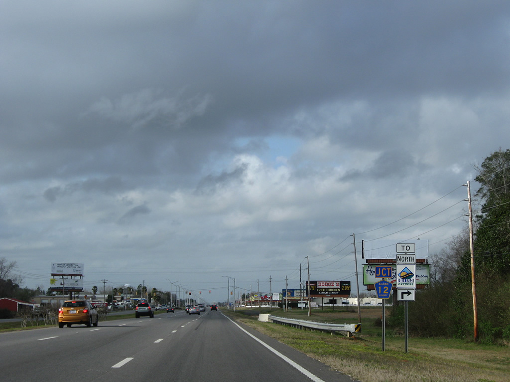
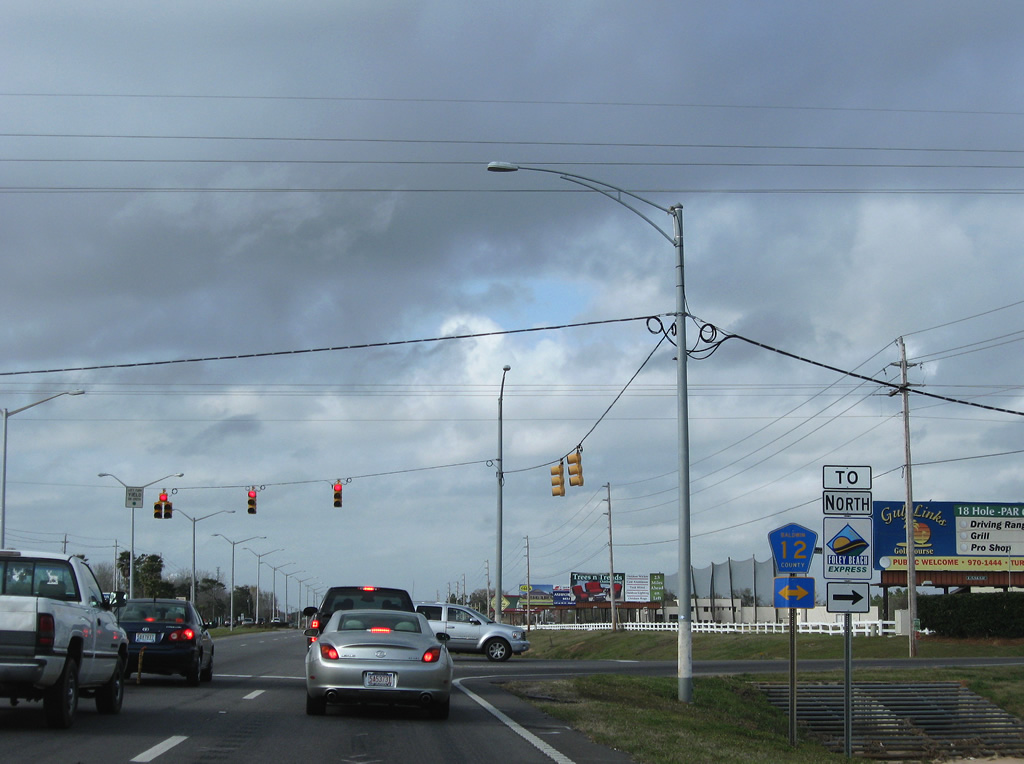
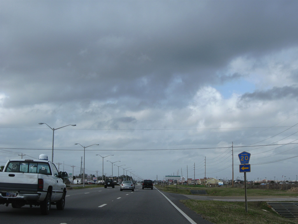
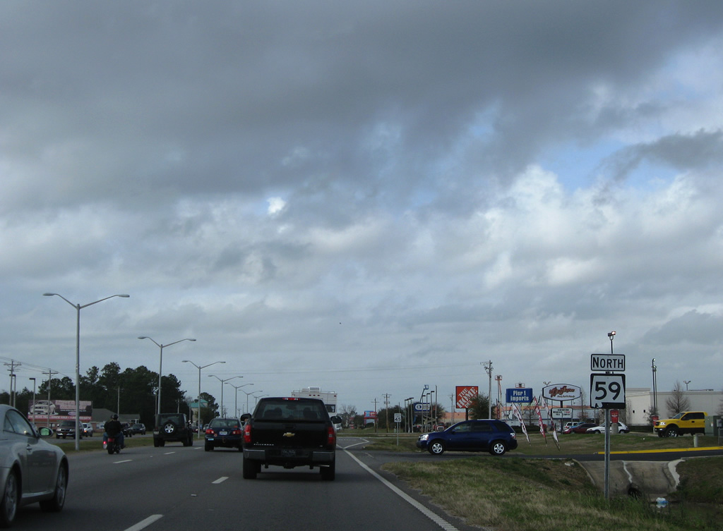
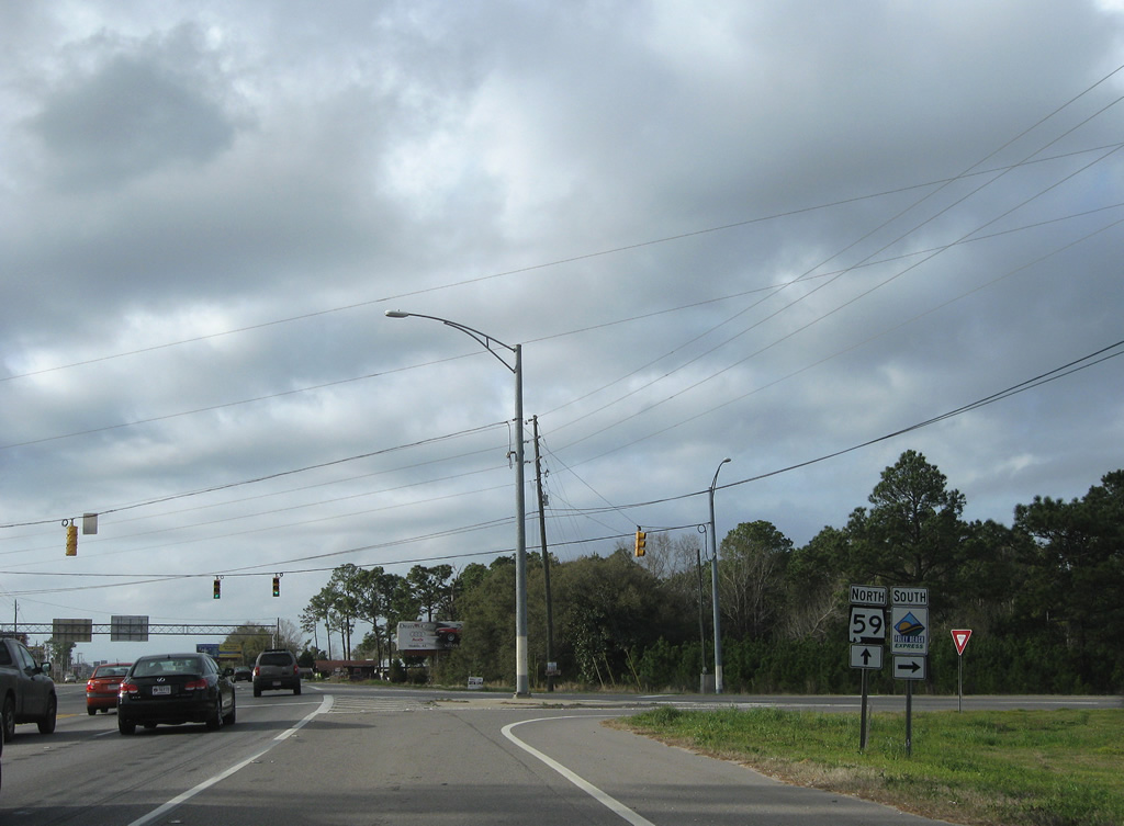
| Northbound SR 59 (Gulf Shores Parkway) at SR 180 (Fort Morgan Road). Trailblazers are posted for the Foley Beach Express for SR 180 east to Orange Beach and Fort Morgan-Dauphin Island Ferry for the west end of state route. The Foley Beach Express ascends over the Intracoastal Waterway from Orange Beach via a two lane toll bridge. SR 59 provides the only other bridge to the mainland from Gulf Shores northward.
Note the mast-arm supported traffic lights and the replacement of the SR 59 northbound shield by 2009. 05/16/04, 03/08/09 |
|
| Commercial development lines both sides of SR 59 (Gulf Shores Parkway) northward to the Intracoastal Waterway bridge. 03/08/09 |
|
| Signals for Paradise Isle Shopping Center and Clubhouse Drive west follow on SR 59 north. Clubhouse Drive heads west to Gulf Shores Golf Club and regency Road south to SR 180 (Fort Morgan Road). 03/08/09 |
|
| 20th Avenue links SR 59 (Gulf Shores Parkway) with parallel SR 180 (East 2nd Street) two blocks to the east. SR 180 turns eastward along the Intracoastal Waterway, five blocks north of 20th Avenue. 03/08/09 |
|
| SR 59 rises to pass over 22nd Avenue ahead of the Intracoastal Waterway bridge. The elevated roadway was built in 1972 to replace an alignment using East 2nd Street. 08/01/06 |
|
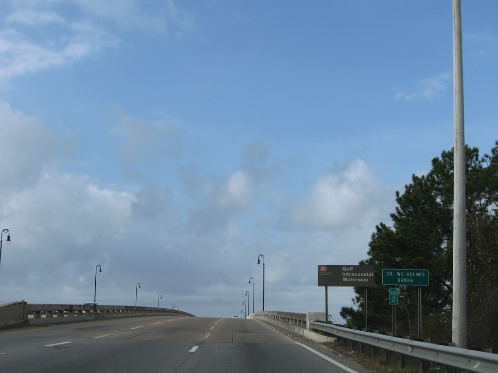
| Six lanes of SR 59 cross the Gulf Intracoastal Waterway via the Dr. WC Holmes Bridge from central Gulf Shores to north Gulf Shores. 03/08/09 |
|
| Northbound motorists along SR 59 lower from Intracoastal Waterway bridge to meet the west branch of County Road 4 (29th Avenue). 03/08/09 |
|
| CR 4 spurs west from SR 59 (Gulf Shores Parkway) to Oyster Bay Road and County Road 6 near Plash Island. Oyster Bay Road travels through the planned Bon Secour Village community, though as of 2011 much of that development is unbuilt.
29th Avenue east leads to Jack Edwards Airport. 03/08/09 |
|
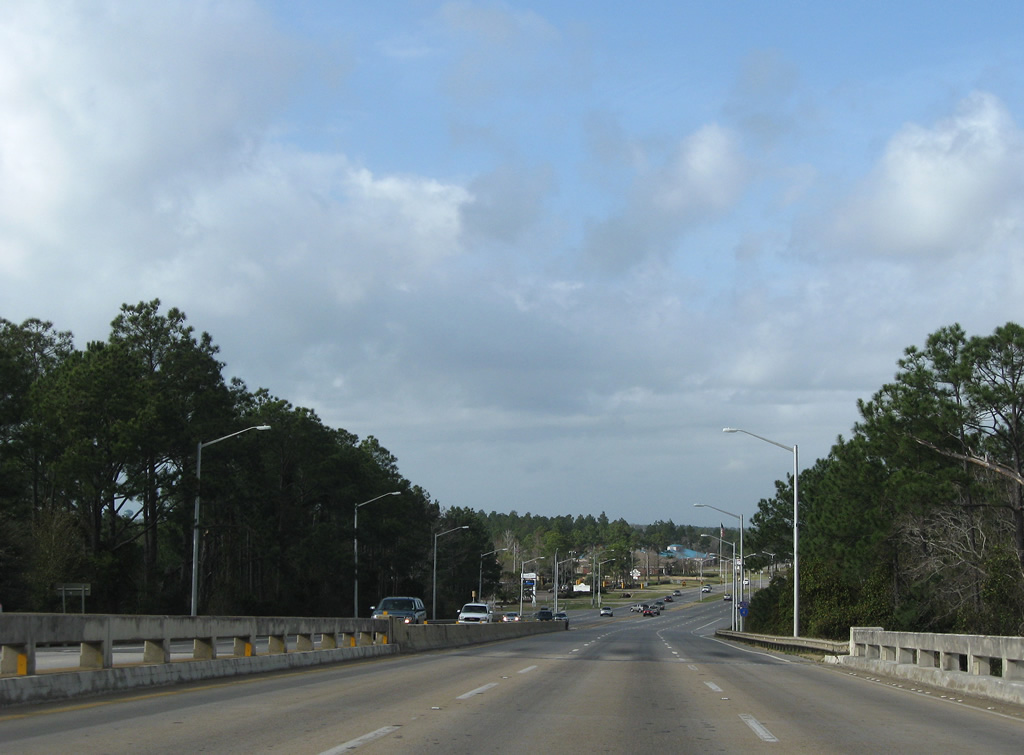
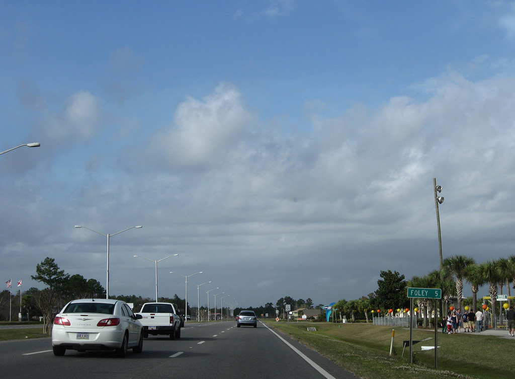
| SR 59 continues north five miles to County Road 12 South in Foley from 29th Avenue in Gulf Shores. 03/08/09 |
|
| The east branch of County Road 4 begins one mile north of 29th Avenue, following Cotton Creek Drive. 03/08/09 |
|
| Cotton Creek Drive (CR 4) provides access to the Craft Farms golf course community on the eastbound drive to Foley Beach Express. 03/08/09 |
|
| Six lanes of SR 59 travel alongside the Colonial Pinnacle Shopping Center and a number of other commercial properties north of County Road 4. 03/08/09 |
|
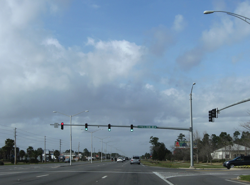
| Cypress Bend Drive was punched through the adjacent shopping center to provide additional access to Craft Farms to the east of SR 59. 03/08/09 |
|
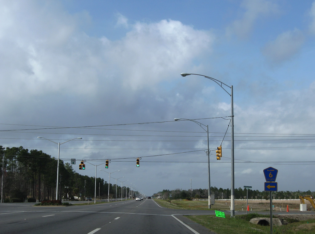
| Oak Road West carries CR 6 west from SR 59 (Gulf Shores Parkway) to Oak and Plash Island. Oak Road East spurs to Augusta Drive and the Augusta Place section of Craft Farms. 08/02/06, 03/08/09 |
|
| SR 59 continues north through some undeveloped forest and wetlands between Dunlop Boulevard and County Road 8. 03/08/09 |
|
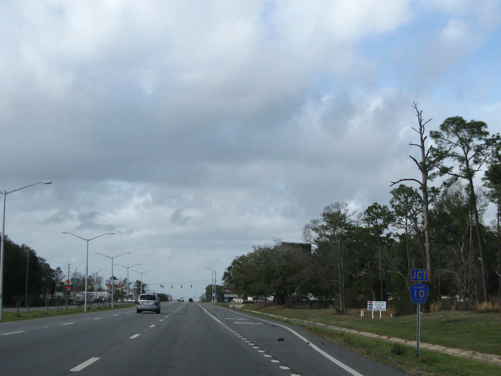
| Nearing CR 8, a short east-west route between Bon Secour River and the Foley Beach Express. 03/08/09 |
|
| County Road 8 was realigned eastward by an expansion of Craft Farms to the Foley Beach Express. The road defaults onto the FBE southbound presently. 03/08/09 |
|
| Reassurance marker posted as SR 59 approaches the Foley city limits north of County Road 8. 03/08/09 |
|
| CR 10 east ends at SR 59 one half mile north of County Road 8. 03/08/09 |
|
| Heading west, County Road 10 provides a hurricane evacuation route with County Road 65 north to Foley and U.S. 98. The route otherwise splits with separate branches to County Road 19 and Bon Secour respectively. 03/08/09 |
|
| Now five miles south of downtown Foley on SR 59 northbound. 03/08/09 |
|
| Keller Road spurs west 1.3 miles from SR 59 (Gulf Shores Parkway) to an end at the Bon Secour River. County Road 16 lies opposite the river. 03/08/09 |
|
| Northbound SR 59 between Keller and Brinks Willis Roads in south Foley. 03/08/09 |
|
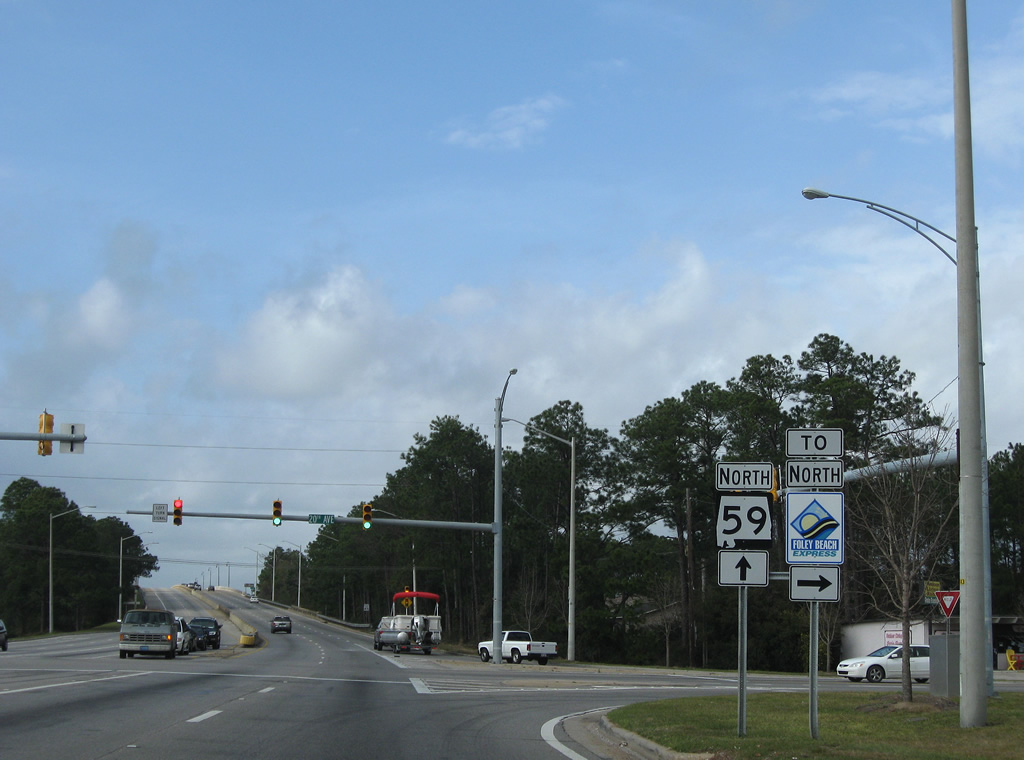
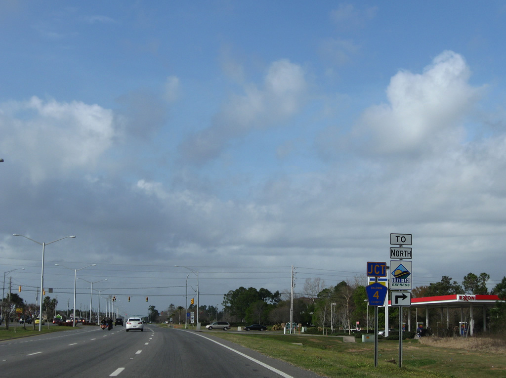
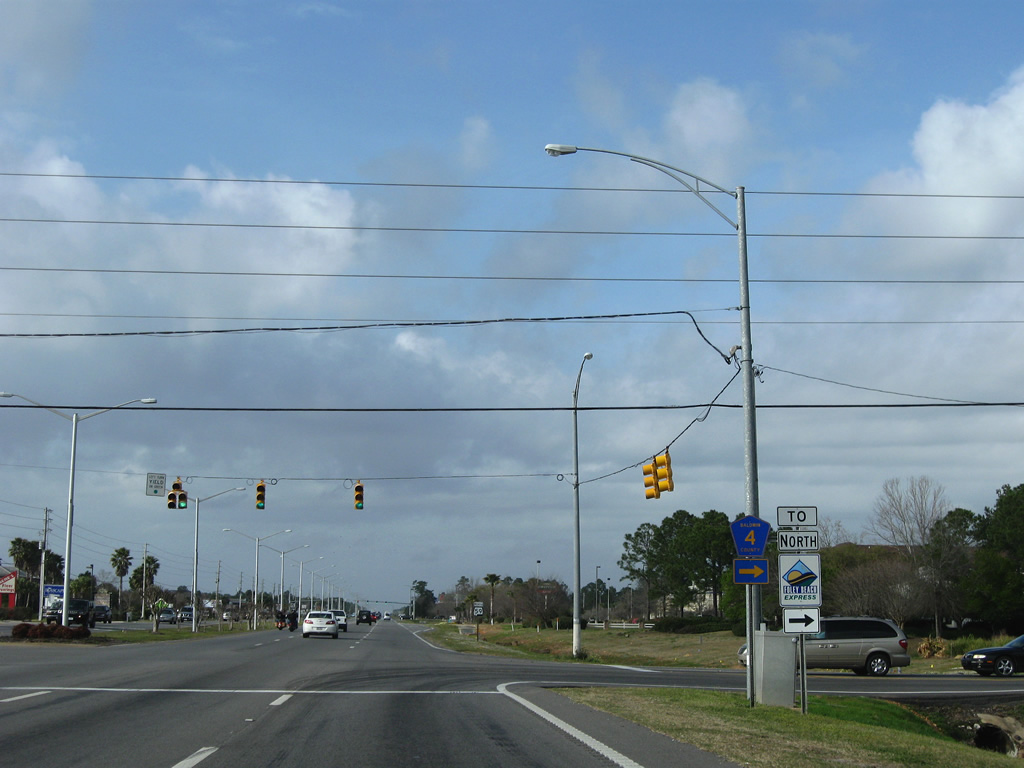
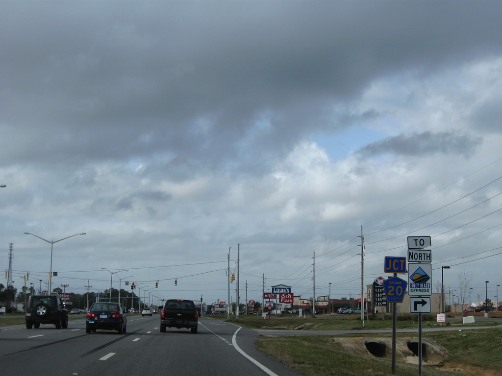
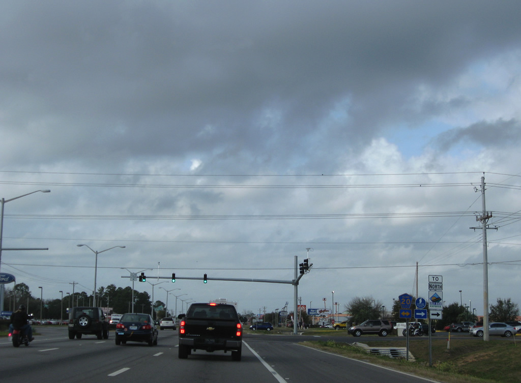
| County Road 12 provides another direct connection between SR 59 and the Foley Beach Express. The FBE provides a bypass of downtown Foley to the east. 03/08/09 |
|
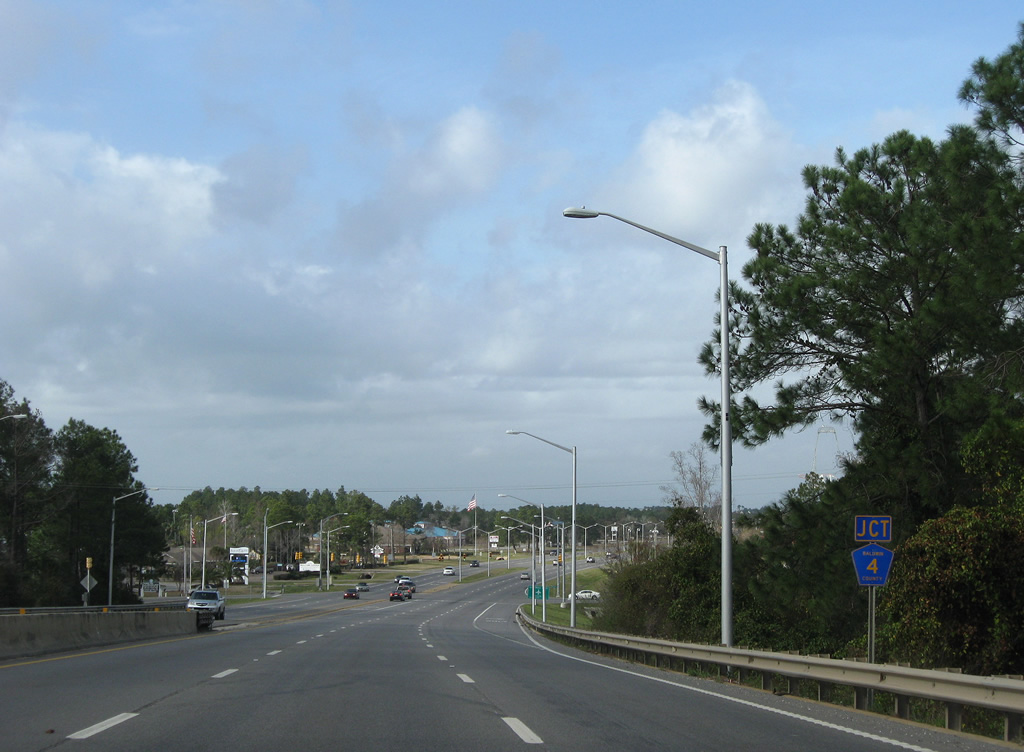
| CR 12 leads east 3.75 miles through a mixture of agricultural land and suburban sprawl to end at Clarke Ridge Road near Wolf Creek. Westward the county road continues six miles to Vernant Park Road northwest to County Road 26 near Weeks Bay. 03/08/09 |
|
| Now wholly within Foley, SR 59 becomes McKenzie Street. 03/08/09 |
|
| Approaching the first of two intersections with CR 20 on SR 59 north. The southern segment of highway is named County Road 20 South. 03/08/09 |
|
| County Road 20 South entails one mile of pavement between McKenzie Street and Hickory Street. 03/08/09 |
|
| SR 59 remains well signed through Foley with reassurance markers posted after every county road intersection. 03/08/09 |
|
| The northern run of County Road 20 replicates County Road 20 South one mile west to Hickory Street. Eastward the road meets the Foley Beach Express in 1.75 miles. 03/08/09 |
|
| Miflin Road doubles as CR 20 from SR 59 east 4.75 miles to County Road 83 at Miflin. County Road 20 continues from there to County Road 95. 03/08/09 |
|
| Big box retail lines the east side of SR 59 within the vicinity of CR 20 (Miflin Road). The Tanger Outlet Center follows along northbound. 03/08/09 |
|
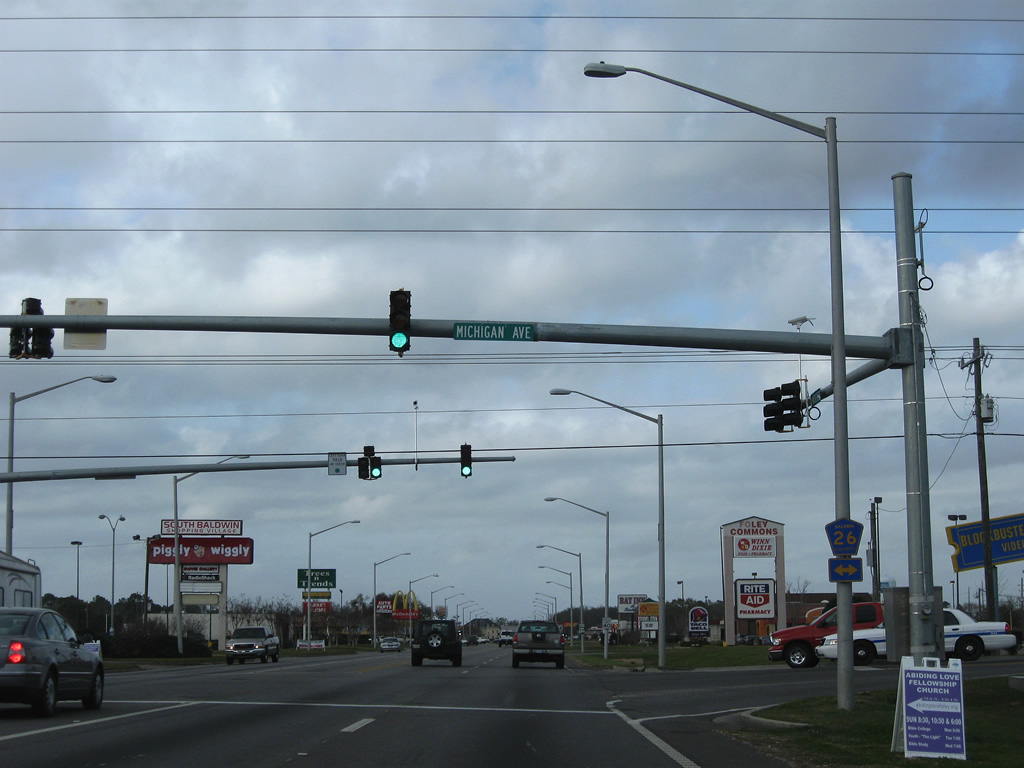
| Michigan Avenue doubles as CR 26 east from SR 59 (McKenzie Street) to Juniper Street and west to Hickory Street and the city line. County Road 26 otherwise leads to Magnolia Springs (County Road 49). 03/08/09 |
|
| A retail-heavy strip comprises SR 59 north from Michigan Avenue to downtown Foley. 03/08/09 |
|
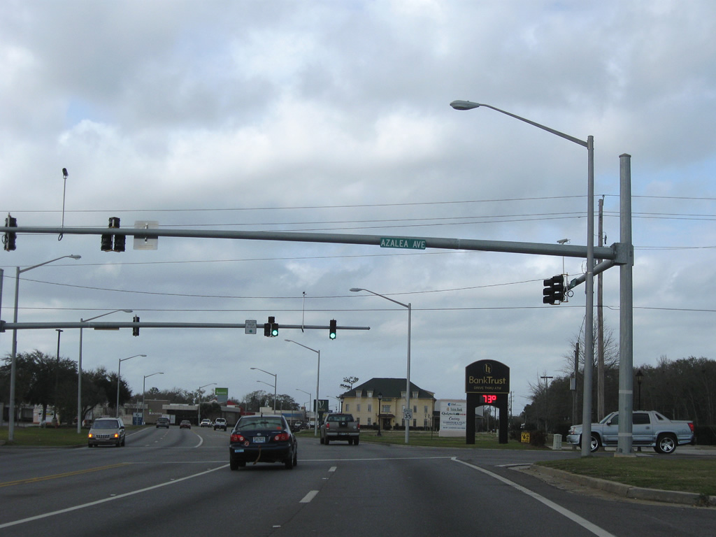
| Azalea Avenue crosses paths with SR 59 (McKenzie Street) at the next traffic light. The residential through road leads east to Maple Street and west through agricultural land as Charolais Road. 03/08/09 |
|
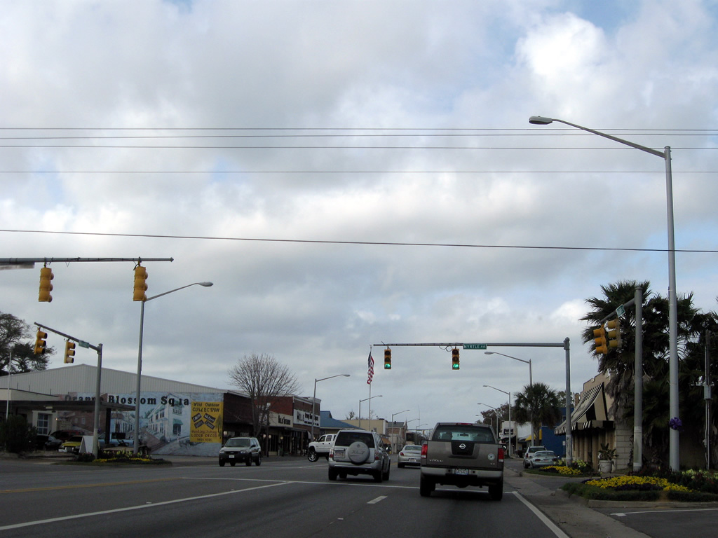
| Entering downtown Foley at Myrtle Avenue on SR 59 (McKenzie Street) north. 03/08/09 |
|
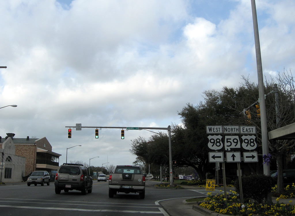
| U.S. 98 (Laurel Avenue) meets SR 59 (McKenzie Street) in the heart of Foley. U.S. 98 ventures west to Magnolia Springs and Fairhope and east to Elberta and Lillian on a 80.2 mile route across Lower Alabama. 03/08/09 |
|
| Continuing north from the Foley business district toward Section Avenue on SR 59. 08/02/06 |
|
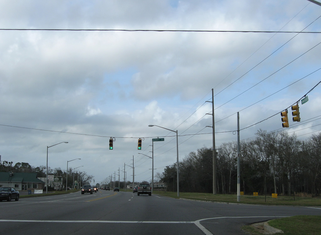
| Berry Avenue joins SR 59 with Pine Street two blocks to the west and Foley Industrial Park at Poplar and Juniper Streets to the east. 03/08/09 |
|
| Fern Avenue follows in two blocks from Cypress Street west to Foley Municipal Airport. 08/02/06 |
|
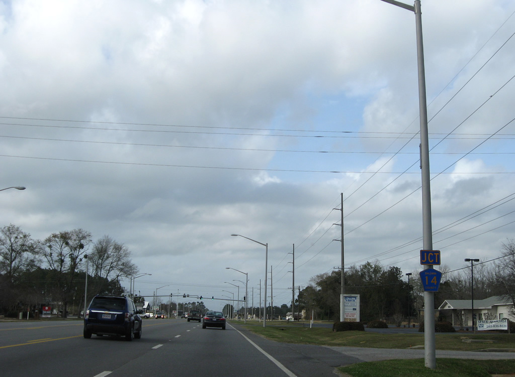
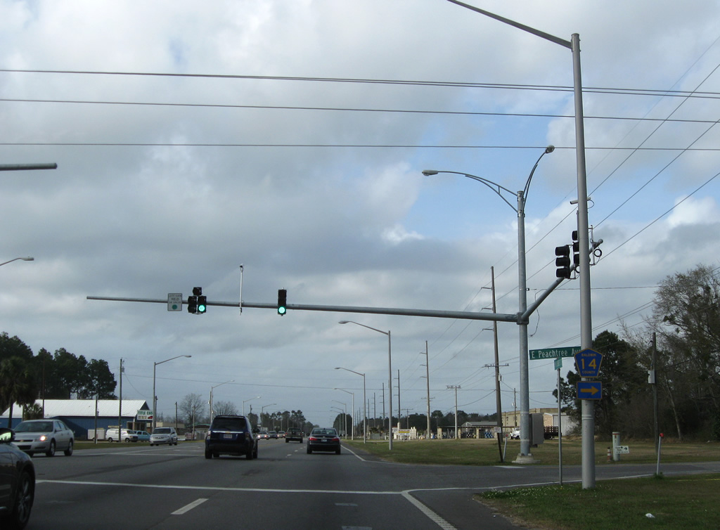
| Nearing the west end of CR 14 (Peachtree Avenue) on SR 59 (McKenzie Street) north. 03/08/09 |
|
| CR 14 follows one mile of Peachtree Avenue to County Road 28 South (Pecan Street) at Perfection Road. 03/08/09 |
|
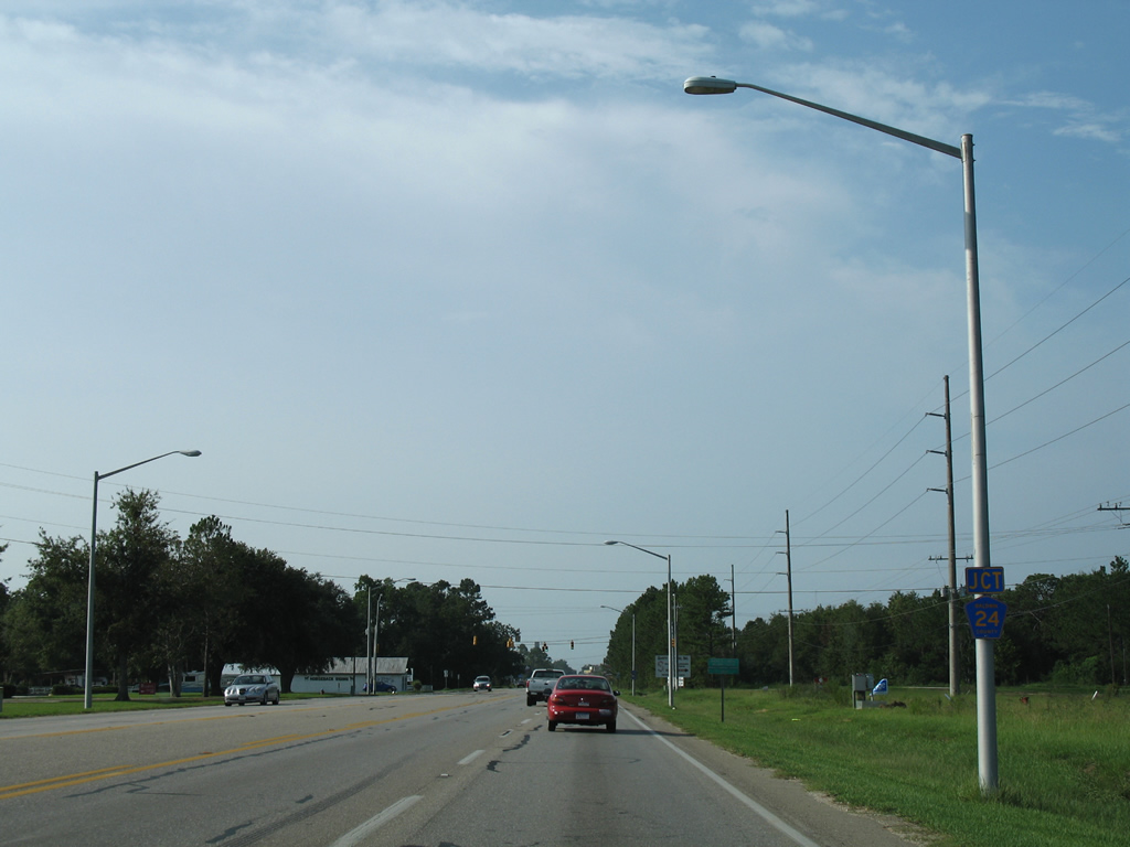
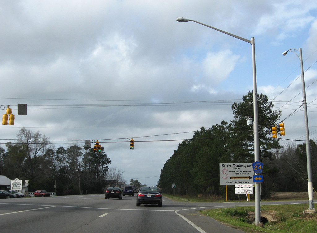
| County Road 24 follows in one half mile along Underwood Road. 08/02/06 |
|
| Three segments of County Road 24 exist in Baldwin County. The middle portion meets SR 59 via Underwood Road east from County Road 9 near Marlow to end at County Road 28 South nearby. A half mile spur lies east of County Road 28 South (Pecan Street) just outside Foley. 03/08/09 |
|
| SR 59 heads due north to exit the city of Foley. 03/08/09 |
|
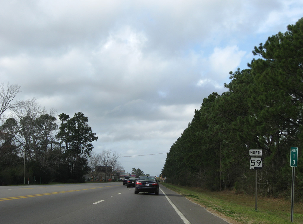
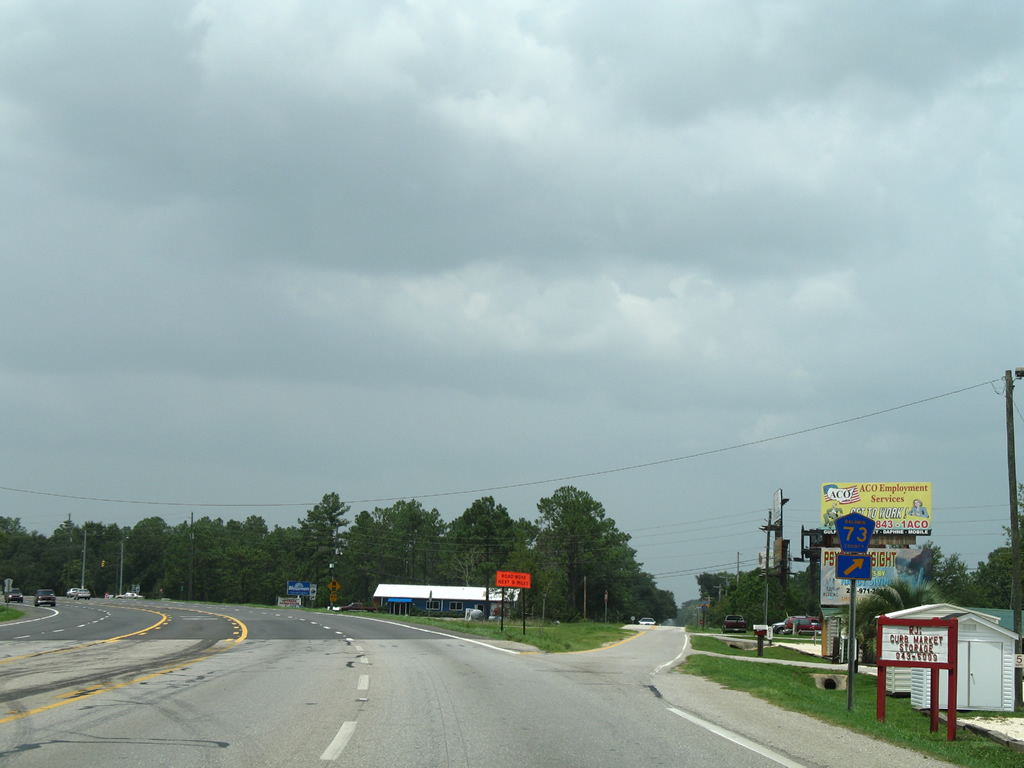
| County Road 73 shoots northward from the westerly turn of SR 59 to eastern reaches of Summerdale. 03/08/09 |
|
| CR 73 begins and follows section lines northward from SR 59 and adjacent Foley Beach Express to County Road 48 South outside Robertsdale. 03/08/09 |
|
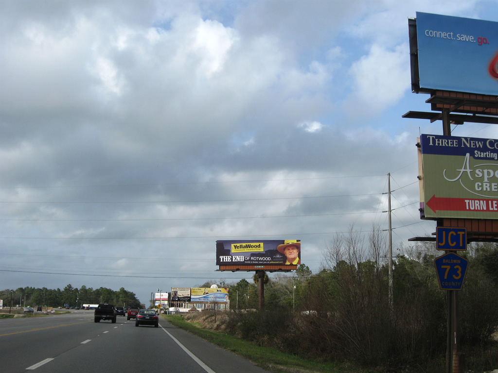
| The 2000-completed Foley Beach Express ties into SR 59 between Foley and Summerdale. 03/08/09 |
|
| The Foley Beach Express ventures east from SR 59 to CR 28 South and the Baldwin Beach Express north before turning southward on a 13.5 mile trek to Orange Beach. Construction in 2009 extended the four lane corridor northward via the Baldwin Beach Express name to County Road 32. Eventual work will join the FBE with Interstate 10 at County Road 68. 03/08/09 |
Page Updated 09-09-2011.