|
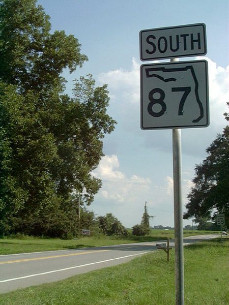
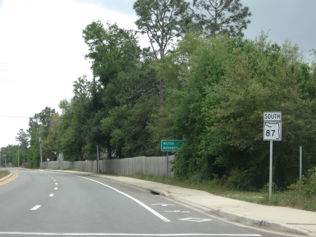
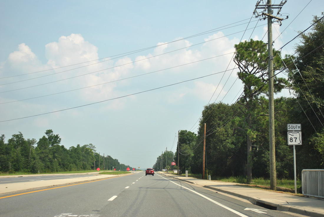
| The first southbound SR 87 shield stands just beyond the state line. SR 87 traverses rural hills initially on the 28 mile course south to Milton. 08/24/02 |
|
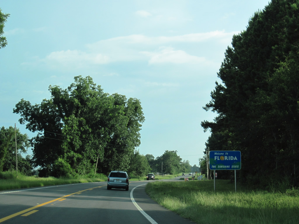
| Welcome to Florida sign posted just south of the Alabama state line. 07/11/10 |
|
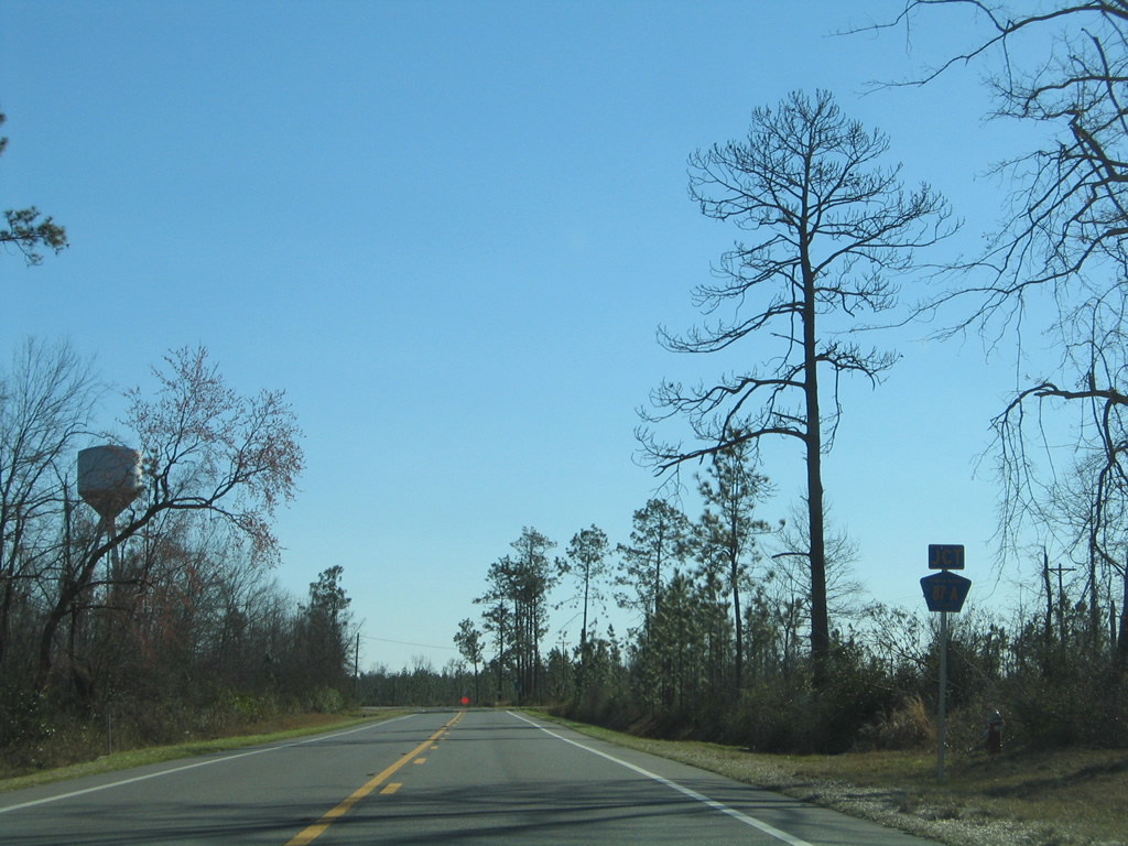
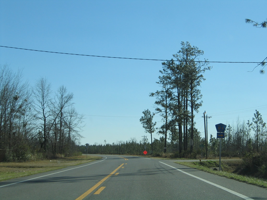
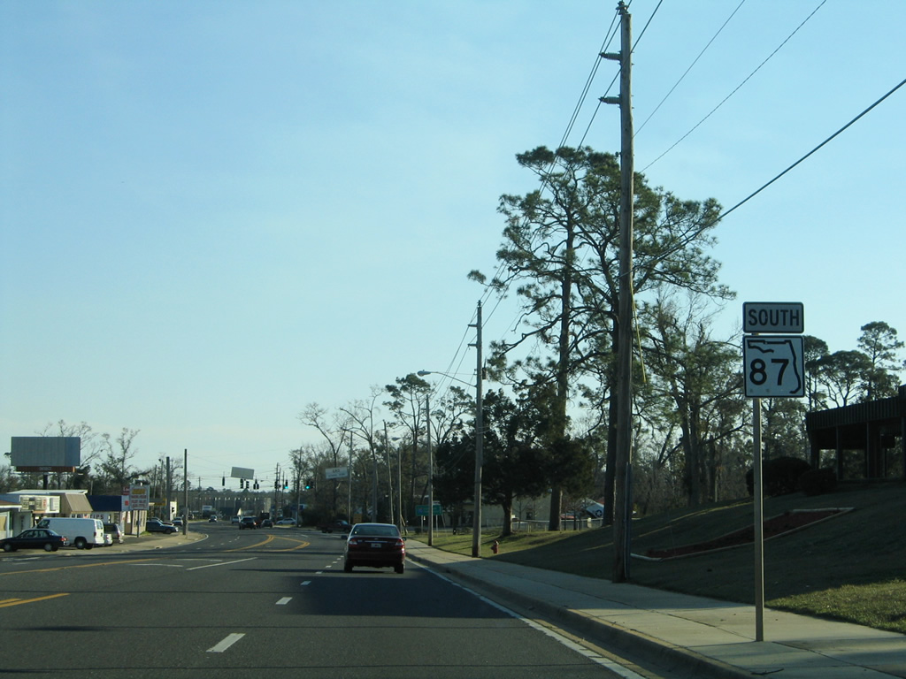
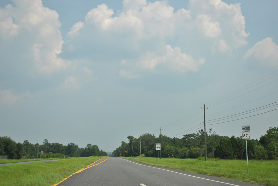
| Two miles south of the state line, SR 87 intersects Santa Rosa County Road 87A (Market Road). 02/07/06 |
|
| Market Road carries County Road 87A, 2.992 miles southwest to SR 4. The rural road provides a cutoff for traffic bound to Jay. 02/07/06 |
|
| Leaving Berrydale and the intersection with SR 4 on SR 87 south. Milton is 20 miles ahead. 02/06/06 |
|
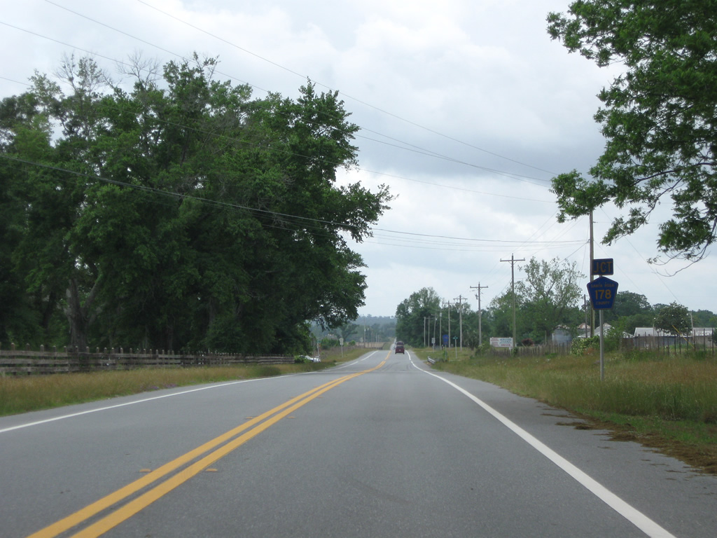
| Approaching the east end of Santa Rosa County Road 178 (Spanish Trail) on SR 87 southbound. 05/03/09 |
|
| CR 178 bee lines west 9.026 miles along a rural course to CR 197 at New York. 05/03/09 |
|
| Heading south on SR 87 from County Road 178, the highway parallels Manning Creek to the West Fork of Big Coldwater Creek. 05/03/09 |
|
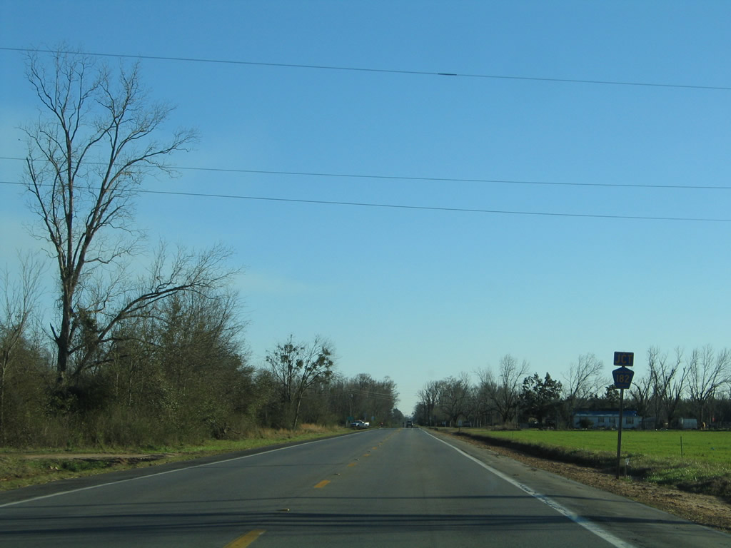
| Approaching the east end of Santa Rosa County Road 182 (Allentown Road) on SR 87 south. 02/07/06 |
|
| County Road 182 follows Allentown Road west to Central High School and a turn onto Central School Road north at Allentown. Overall the county highway totals 10.92 miles between SR 87 and County Road 197 at Chumuckla. 02/07/06 |
|
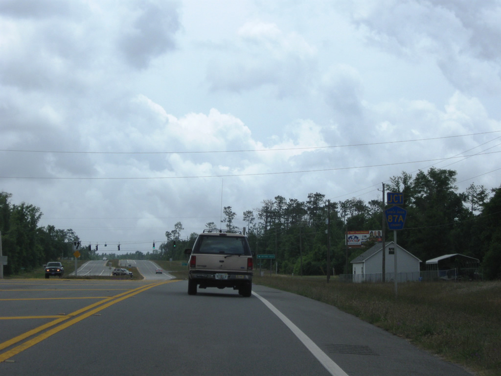
| SR 87 expands to a four lane divided highway at County Road 87A (Langley Street) near Point Baker. 05/03/09 |
|
| Santa Rosa County Road 87A spurs 0.994 miles east along Langley Street to the West Gate of Naval Air Station Whiting Field. 05/03/09 |
|
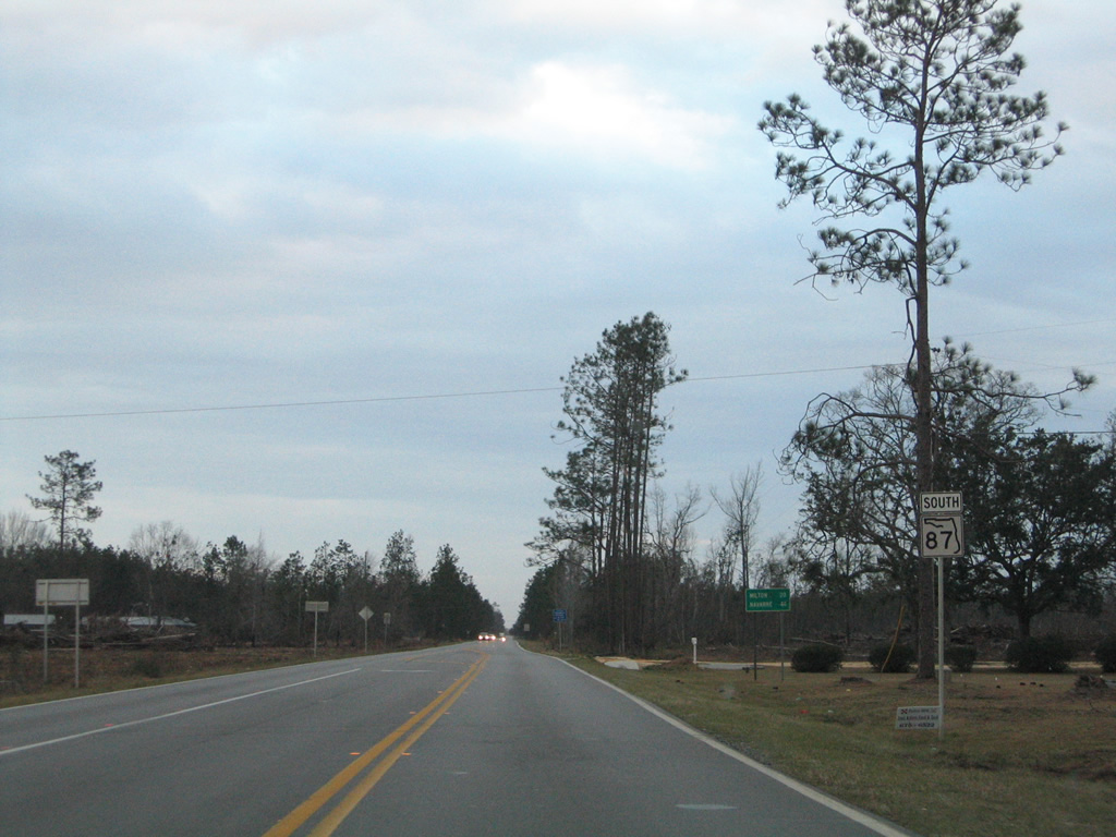
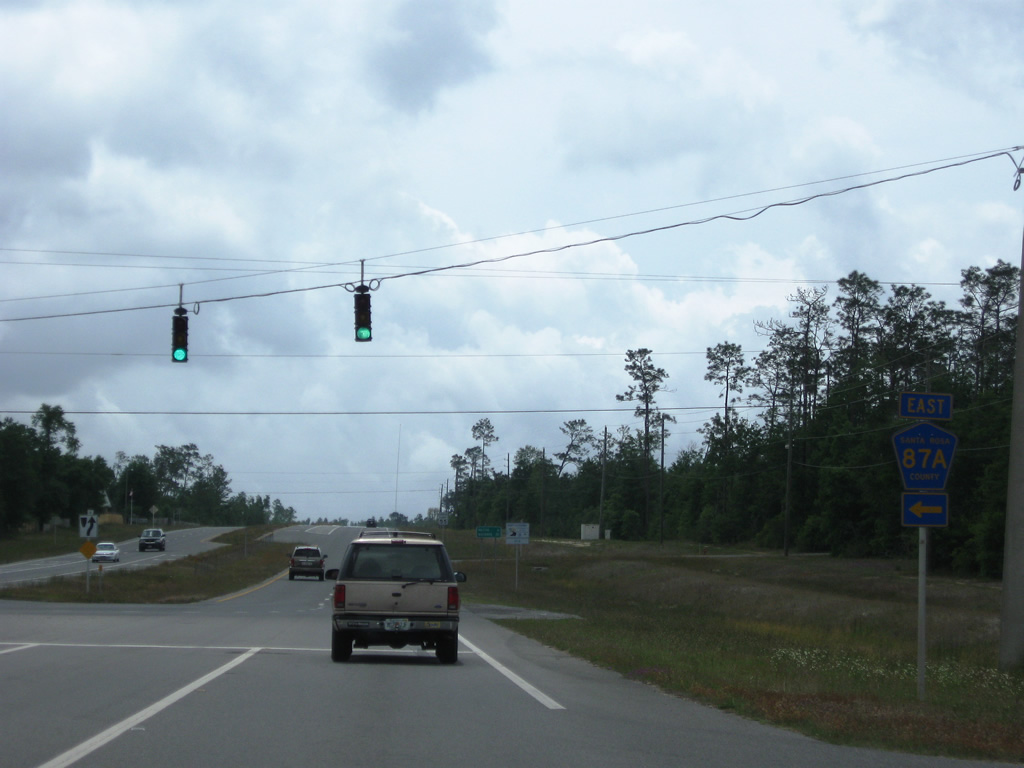
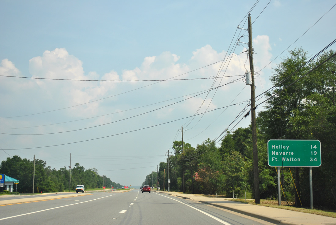
| Downtown Milton is six miles south of CR 87A. 30 miles of SR 87 remain to Navarre. 05/18/14 |
|
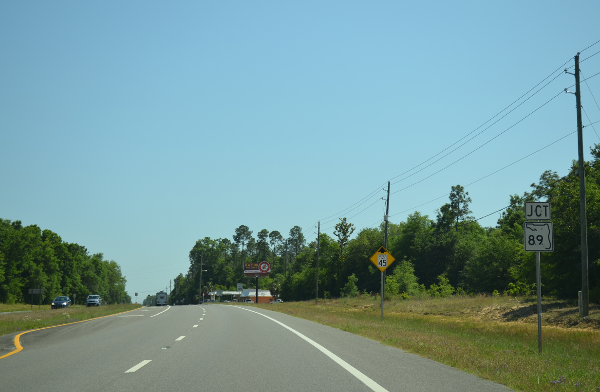
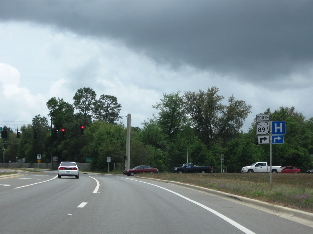
| SR 87 continues south to a 1.641 mile overlap with SR 89 at Point Baker. 05/18/14 |
|
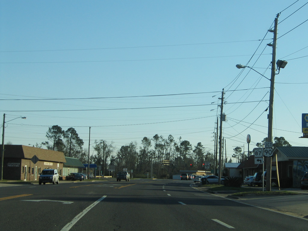
| SR 89 leads southeast 21 miles from Jay to combine with SR 87 south toward Milton. 05/18/14 |
|
| SR 87/89 reassurance markers posted beyond their merge in Point Baker. A number of residential streets and mobile home parks line the arterial southward to Stewart Street. 05/18/14 |
|
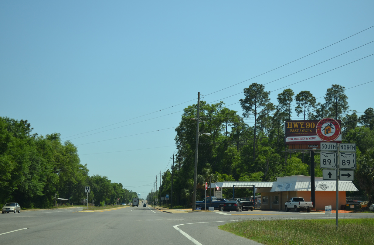
| Southbound at the split of SR 89 from SR 87 (Stewart Street). State Road 89 follows Dogwood Drive 3.561 miles to end at U.S. 90 (Caroline Street). 05/18/14 |
|
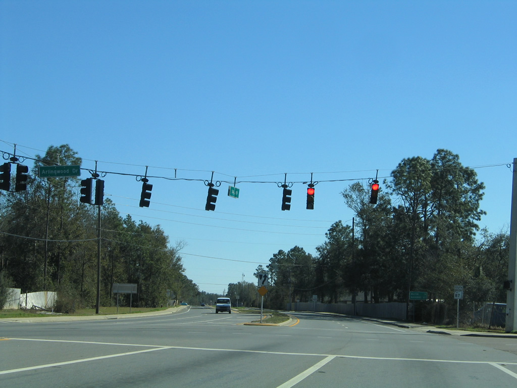
| Dogwood Drive ends at SR 87 (Stewart Street) opposite Arlingwood Drive east. The signalized intersection provides a second opportunity for SR 89 south. Dogwood Drive constitutes a multi-lane arterial to the commercial strip of U.S. 90. 05/03/09, 02/07/06 |
|
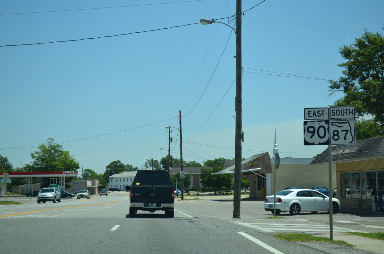
| Stewart Street continues SR 87 south with four to five lanes to U.S. 90 (Caroline Street) west of Downtown Milton. 05/03/09 |
|
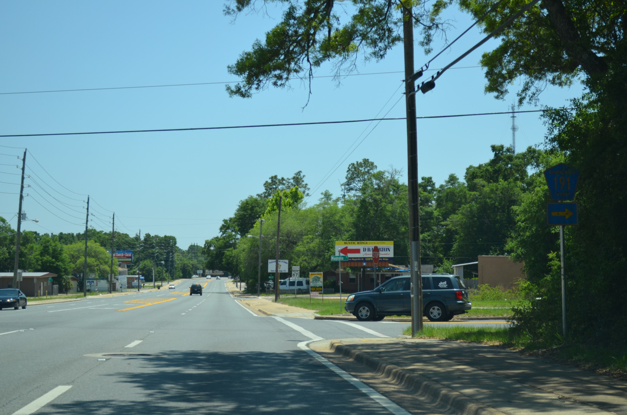
| An east-west branch of County Road 191 ties into SR 87 on the north side of Milton from Magnolia Street. The county road runs 9.45 miles northwest to a rural end at CR 197 near Wallace. 05/18/14 |
|
| County Road 191 travels east from SR 87 (Stewart Street) along Munson Highway to Broad Street, a north-south segment of CR-191. The two county road legs combine at Carpenter Park via Munson Highway north to Whiting Field, Blackwater River State Forest and Munson. 05/18/14 |
|
| Passing by Milton High School on State Road 87 between County Road 191 (Munson Highway) and Park Avenue. 02/08/06 |
|
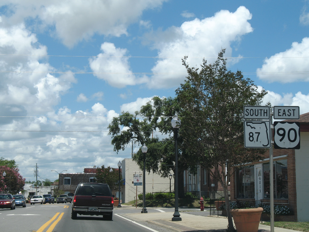
| Nearing U.S. 90 (Caroline Street) on SR 87 (Stewart Street) south. SR 87 joins U.S. 90 east along Caroline Street through Downtown Milton. 02/08/06 |
|
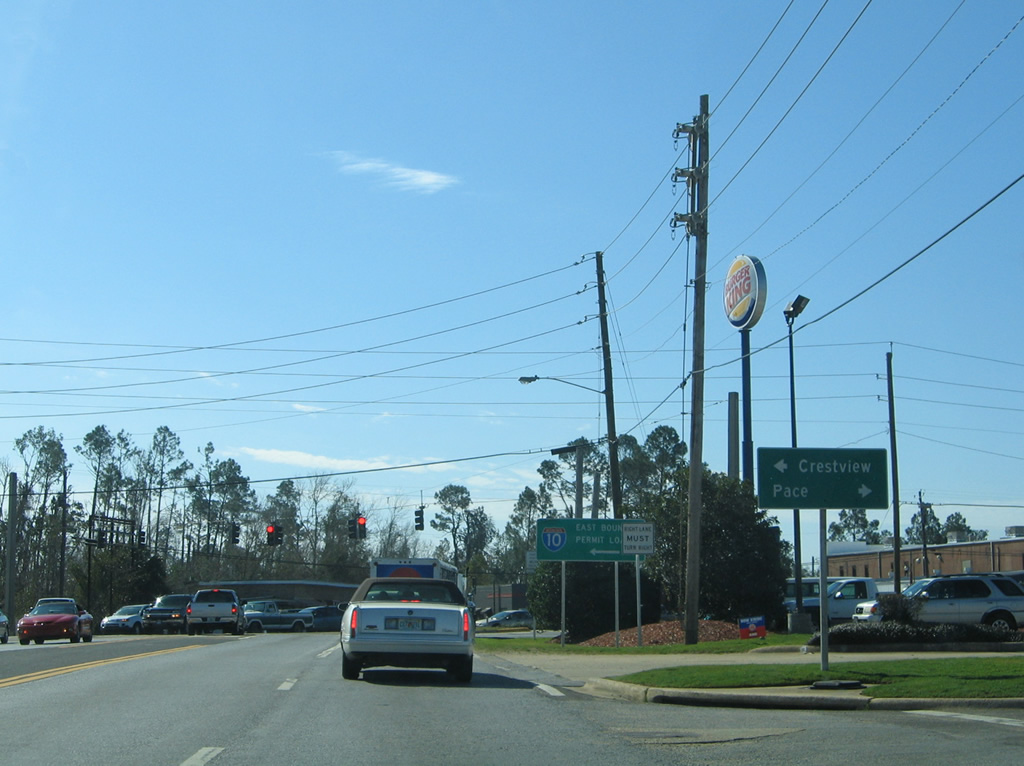
| U.S. 90 comprises a busy arterial from Milton westward to Pea Ridge, Pace and Escambia County. Much of the corridor is lined with strip malls and big box retail surrounded by residential subdivisions. 01/30/06 |
|
| U.S. 90 widens to a four lane divided highway westward from State Road 87 through southwest Milton and Pace. Eastward, U.S. 90/SR 87 narrow to just two lanes through Downtown and across the Blackwater River into East Milton. 01/30/06 |
|
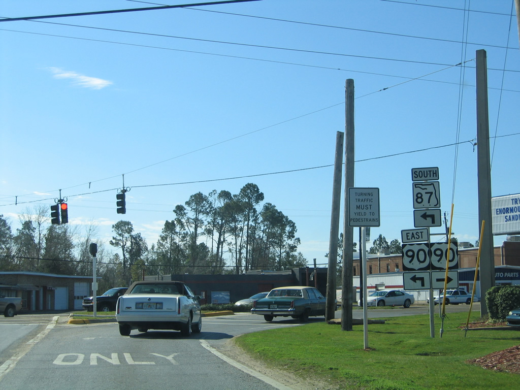
| U.S. 90 east / SR 87 south narrow from four to two lanes along Caroline Street through Downtown Milton. 05/18/14 |
|
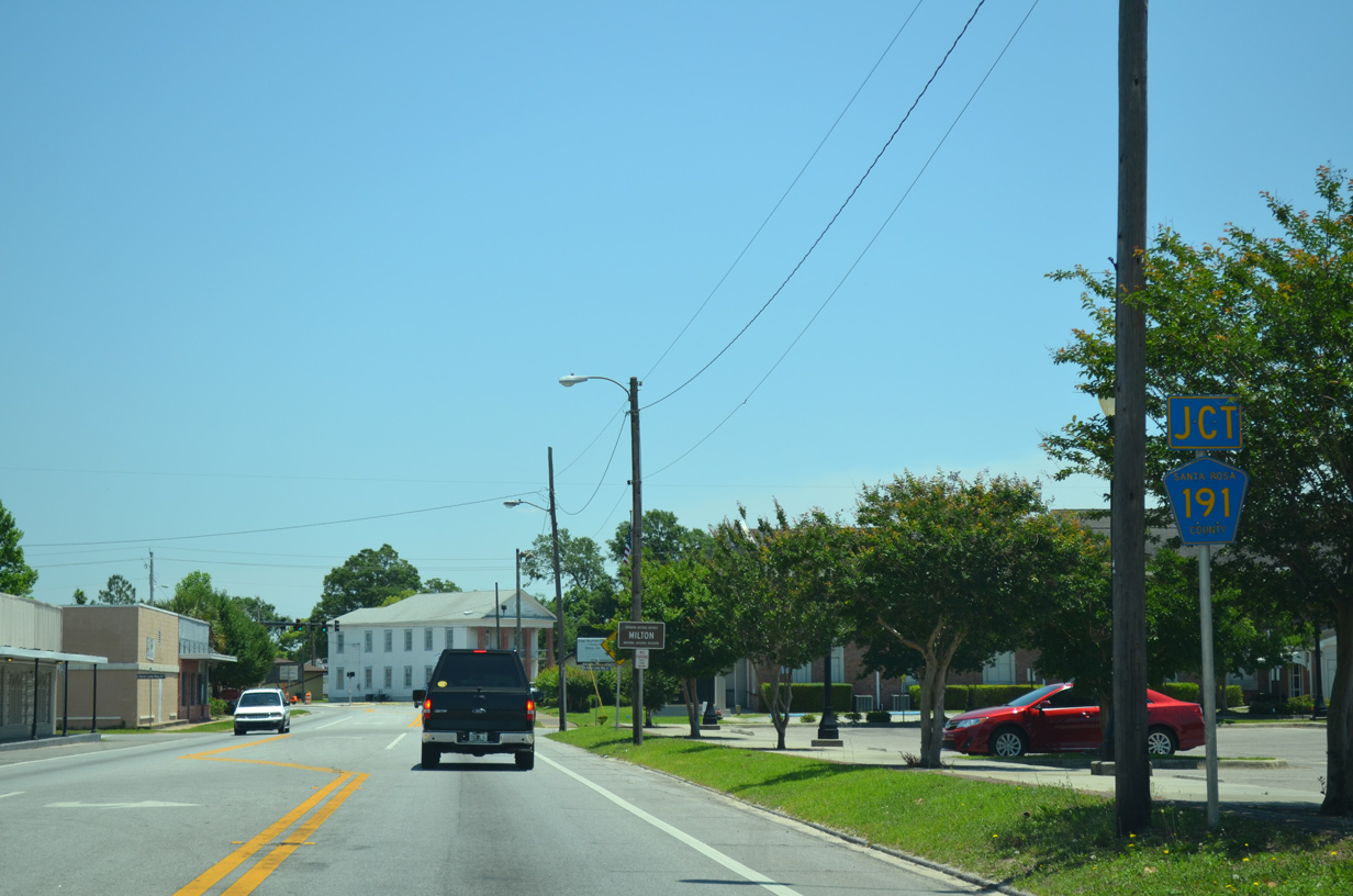
| Approaching CR 191 (Canal Street) on U.S. 90/SR 87 east. County Road 191 leads south three blocks on Canal Street to Henry Street en route to crossing Pond Creek into Bagdad. 05/18/14 |
|
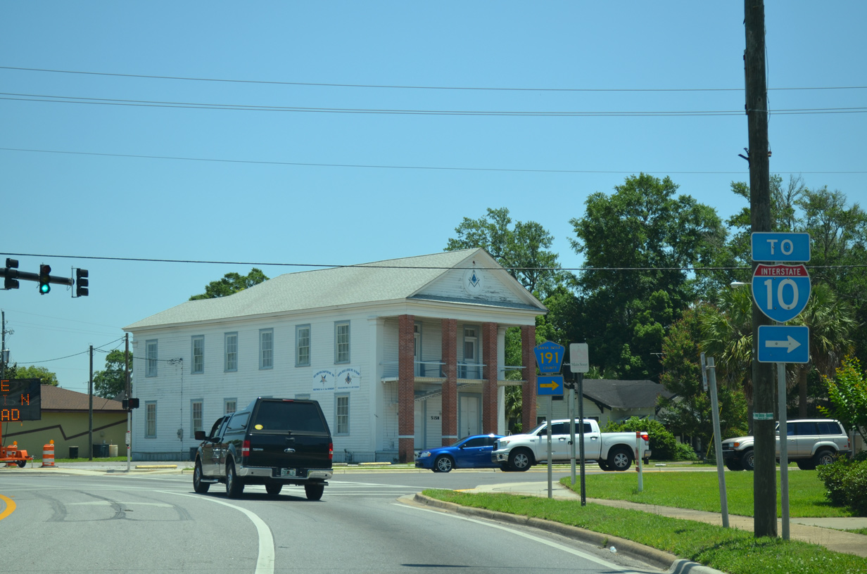
| County Road 191 connects Milton with Bagdad, Interstate 10 and the Garcon Point Bridge via SR 281. 05/18/14 |
|
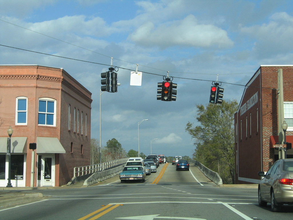
| U.S. 90/SR 87 kink northeast then east through the Historic District of Milton between Canal Street and Elmira Street. 06/11/06 |
|
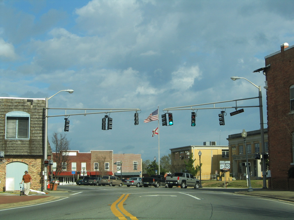
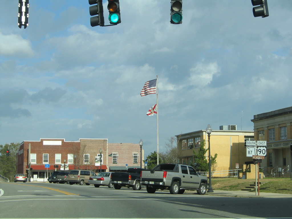
| Elmira Street crosses U.S. 90/SR 87 (Caroline Street) at the Santa Rosa County Court House. Elmira Street provides access to the court house and Riverside Park one block ahead of Willing Street northbound. 02/06/06 |
|
| A third set of U.S. 90/SR 87 shields stand in front of the court house on Caroline Street. 02/06/06 |
|
| An unsigned branch of County Road 191 follows Broad Street north from Willing Street and U.S. 90/SR 87 (Caroline Street). CR 191 combines with an east-west segment of CR 191 at Carpenter Park on a northeasterly course to N.A.S. Whiting Field and Blackwater River State Forest. 02/06/06 |
|
| U.S. 90/SR 87 rise across the Blackwater River on a 1986-built span and vacate the city of Milton for unincorporated East Milton. 05/13/16 |
|
| The two highways follow a causeway from the Blackwater River to Marquis Bayou. Construction in 2015 replaced the 1937-built span across Marquis Bayou. 05/13/16 |
|
| U.S. 90/SR 87 navigate eastward along an S-curve across a CSX Railroad line and a section of Old Spanish Trail (original State Road 1) to County Road 89 (Ward Basin Road). 05/13/16 |
|
| CR 89 leads 5.8 miles southeast to Ward Basin, Pine Bluff and a dead end at the Yellow River. The county road provides a connection between East Milton and Interstate 10 at Exit 28. 05/13/16 |
|
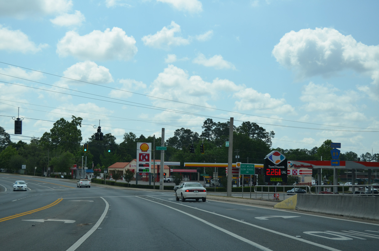
| U.S. 90/SR 87 split at the upcoming intersection with East Milton Road. SR 87 turns southward and advances 1.2 miles to Interstate 10 at Exit 31. U.S. 90 continues alongside the CSX Railroad and I-10 to Okaloosa County. 05/13/16 |
|
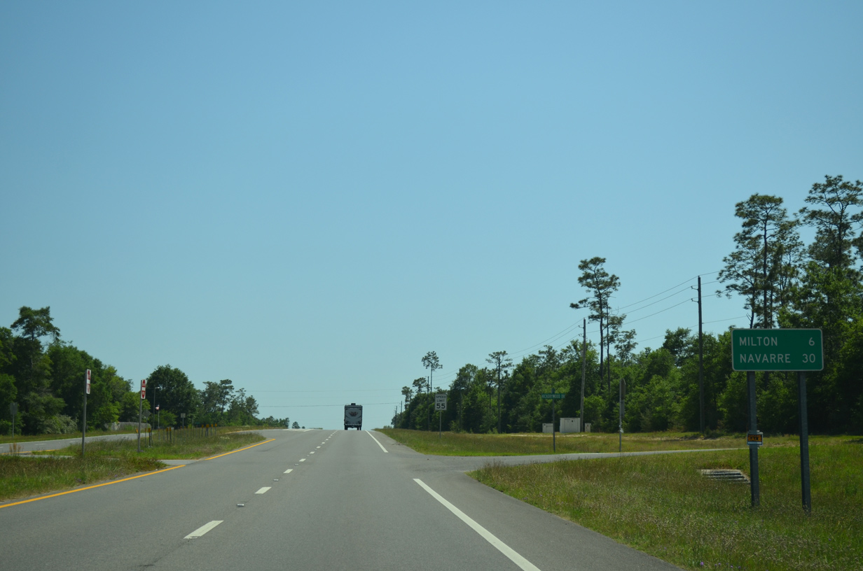
| State Road 87 travels 19.7 miles south to U.S. 98 at Navarre. Repurposed as a multi use path, Old Brick Road (Former State Road 1) remains alongside U.S. 90 east for another two miles. 05/13/16 |
|
| U.S. 90 eastbound at East Milton Road and the separation with SR 87 south. Originally a two wye intersection distributed traffic from the state road to U.S. 90. Four-lane expansion along SR 87 reconfigured the junction in 2006. 05/13/16 |
|
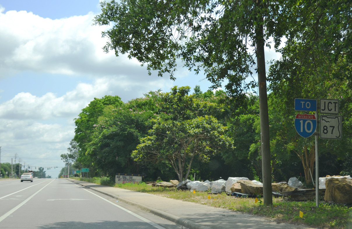
| SR 87 leaves the diamond interchange with Interstate 10 at Welcome. The southbound distance sign lists Navarre at 19 miles south, one mile off the distance sign posted along the off-ramps from I-10. 08/03/11 |
|
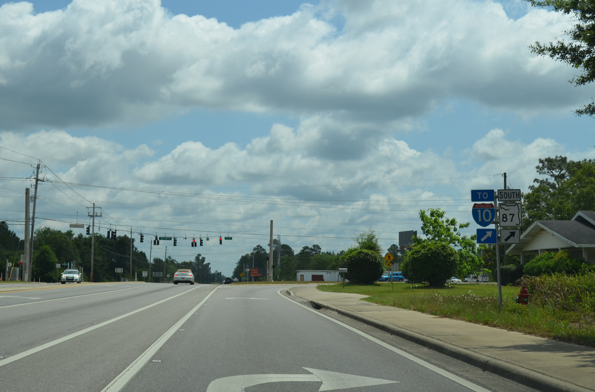
| Southbound reassurance shield posted on the four lane segment of SR 87 between Welcome and Santa Rosa County Road 184. This section was widened in 2006. 08/03/11 |
|
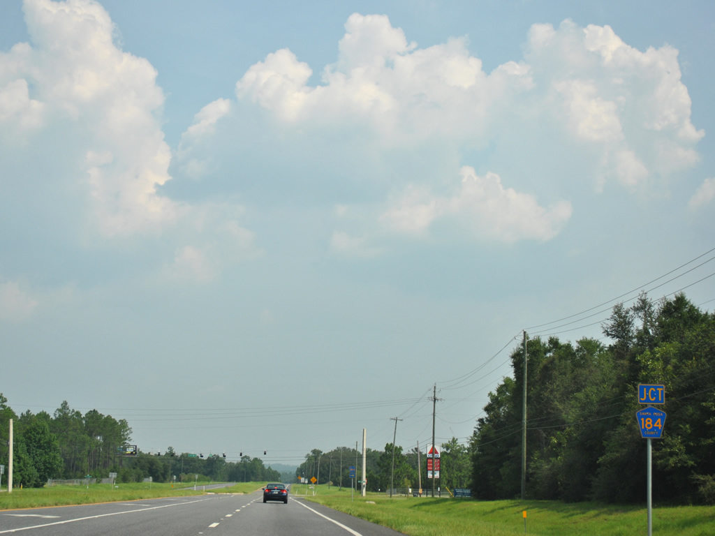
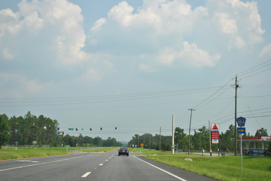
| County Road 184 (Hurst Hammock Road) connects SR 87 with Santa Rosa CR 89 (Wards Basin Road) near Pine Bluff. 08/03/11 |
|
| The intersection with CR 184 (Hurst Hammock Road) west and Nichols Lake Road east was fully signalized in 2014. Both rural roads serve a handful of rural subdivisions. Southern Raceway lies to the east. 08/03/11 |
|
| SR 87 quickly reduces to two overall lanes from County Road 184 southward. A four-laning of the roadway is planned for the future, but funding will likely not arise for quite some time. 08/03/11 |
|
| A 4,750-foot viaduct carries SR 87 over both the Dead and Yellow Rivers, as southbound traffic enters Eglin Air Force Base. The bridge was built in 1984. 08/03/11 |
|
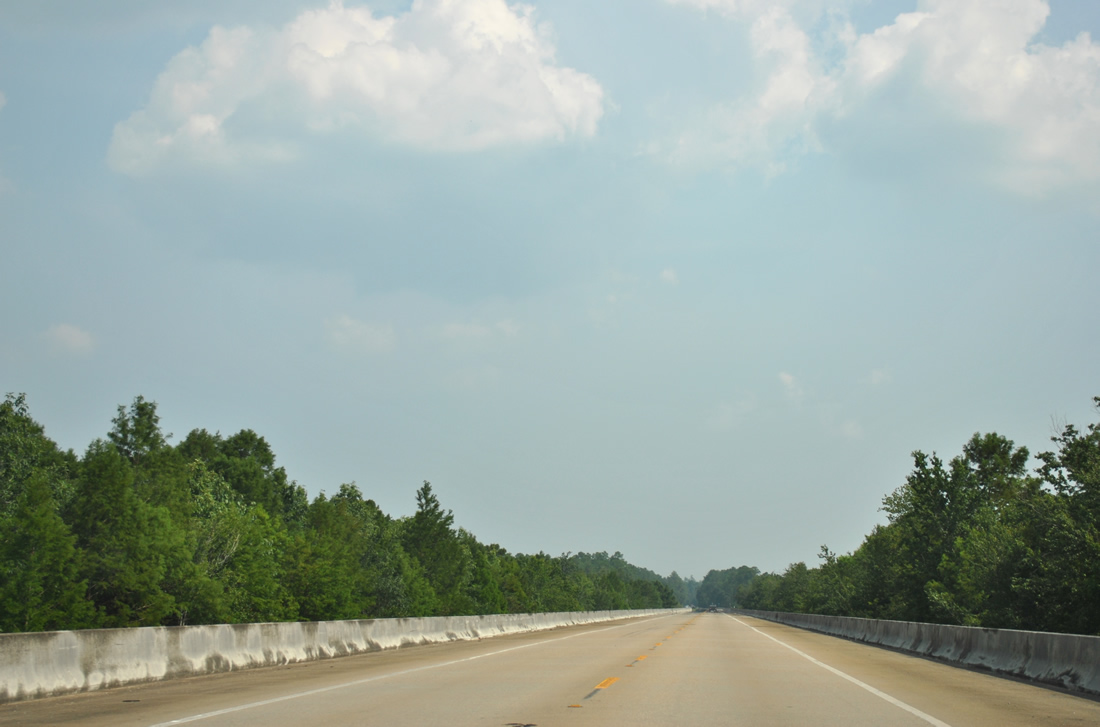
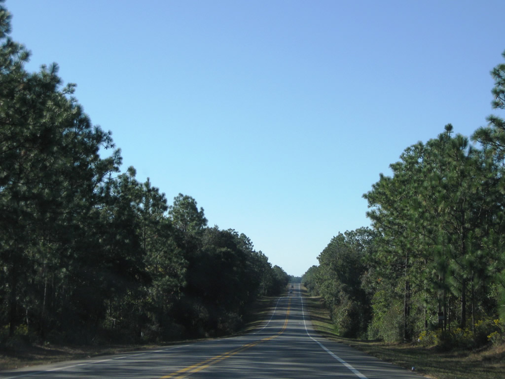
| Because of the air force base, SR 87 travels an uninterrupted and forested stretch over low rolling hills. 11/01/08 |
|
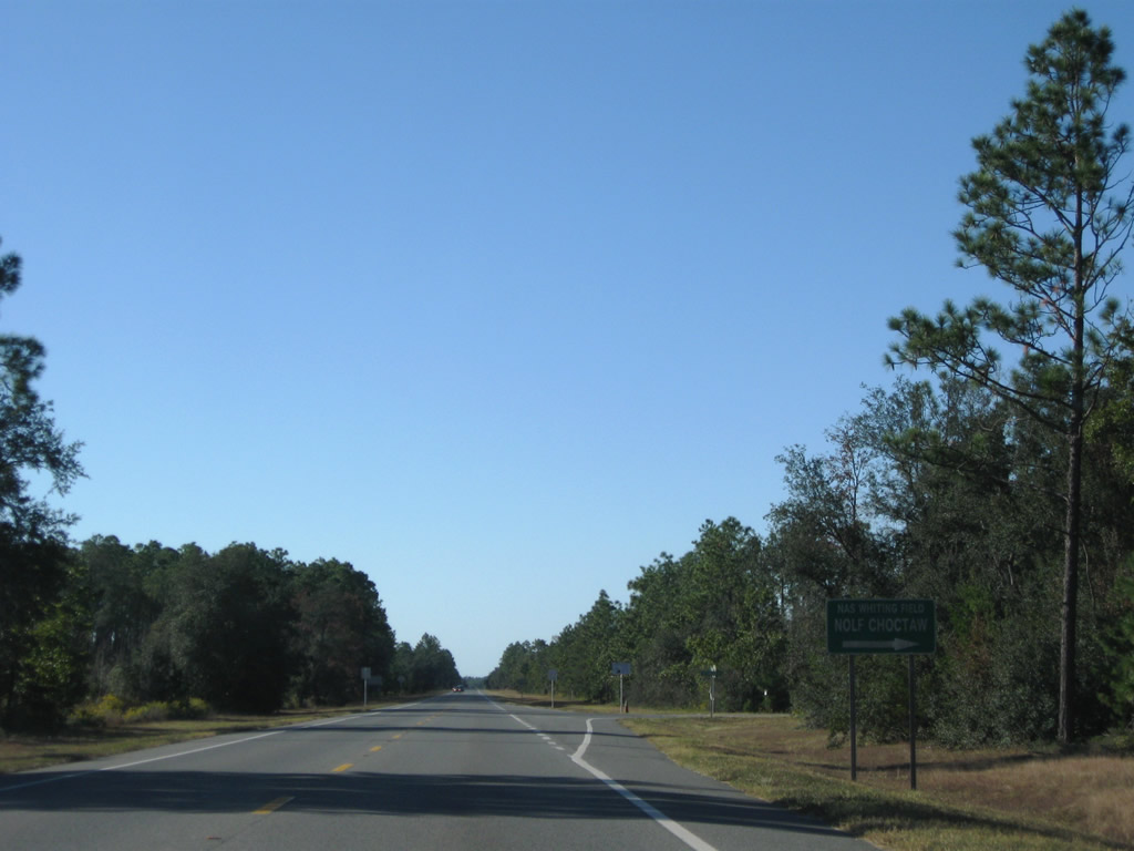
| Choctaw Field Road stems west to NOLF Choctaw Field. This is the only marked intersection within Eglin AFB on SR 87. The sign roughly marks the halfway point between Interstate 10 and U.S. 98. 11/01/08 |
|
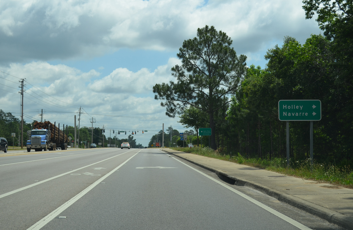
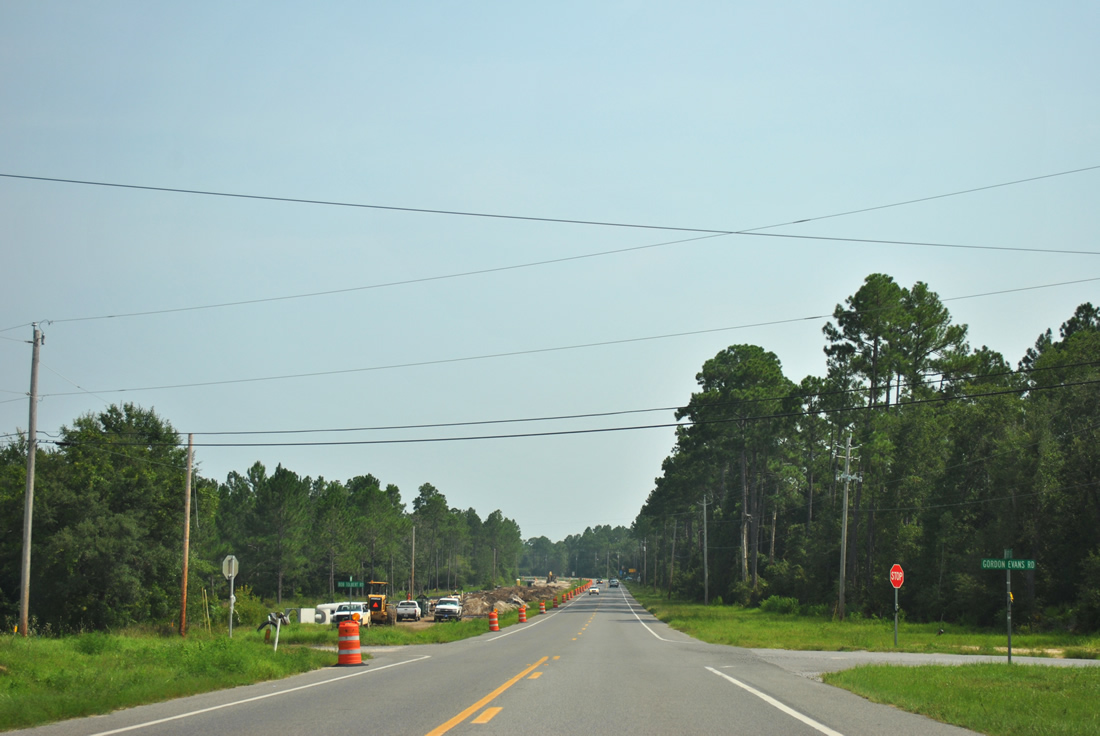
| SR 87 leaves the military base and enters Holley, a community along the East Bay River. Gordon Evans Road spurs west to Chimney Cove on East Bay. Bob Tolbert Road loops southeast to State Road 87 through Elgin A.F.B. land. 08/03/11 |
|
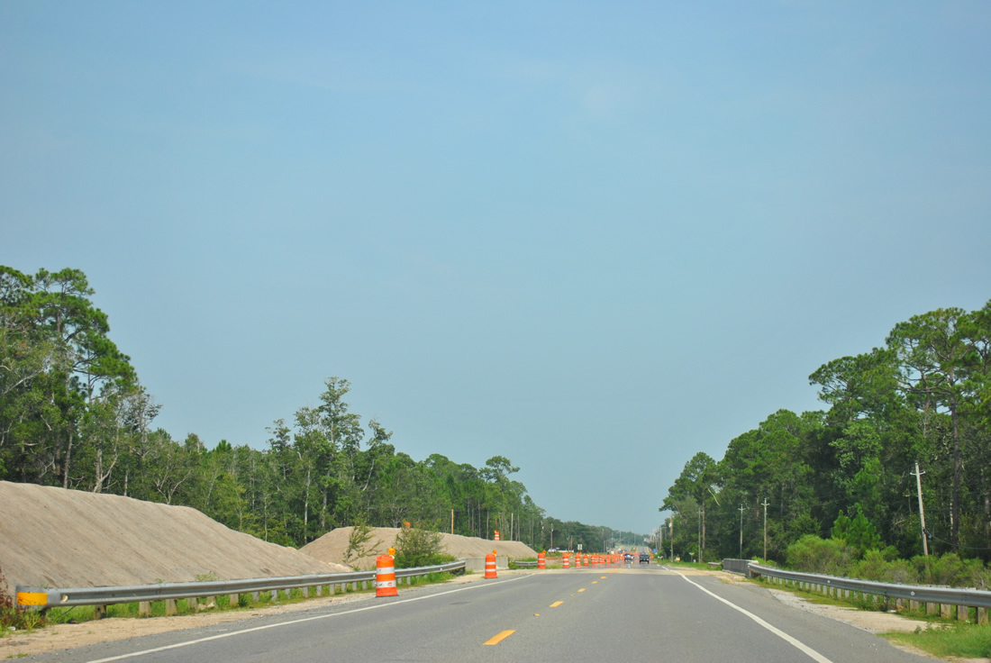
| The state road is undergoing a widening project from just north of Gordon Evans Road to the four lane section near Five Forks Road. Pictured here is road work at Dean Creek. Construction commenced on this stretch in August 2010. Work was slated for completion by the end of 2012, but that was pushed back to summer 2013. 08/03/11 |
|
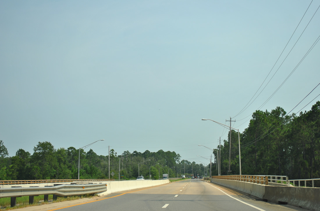
| Traveling east from Holley, SR 87 enters the Harper community and spans East Bay River as a four lane divided highway. Bike lanes and sidewalks accompany the state road southward into Navarre. 08/03/11 |
|
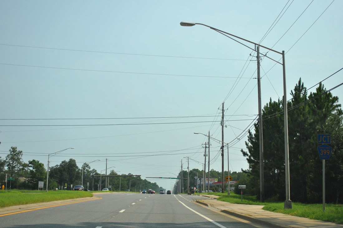
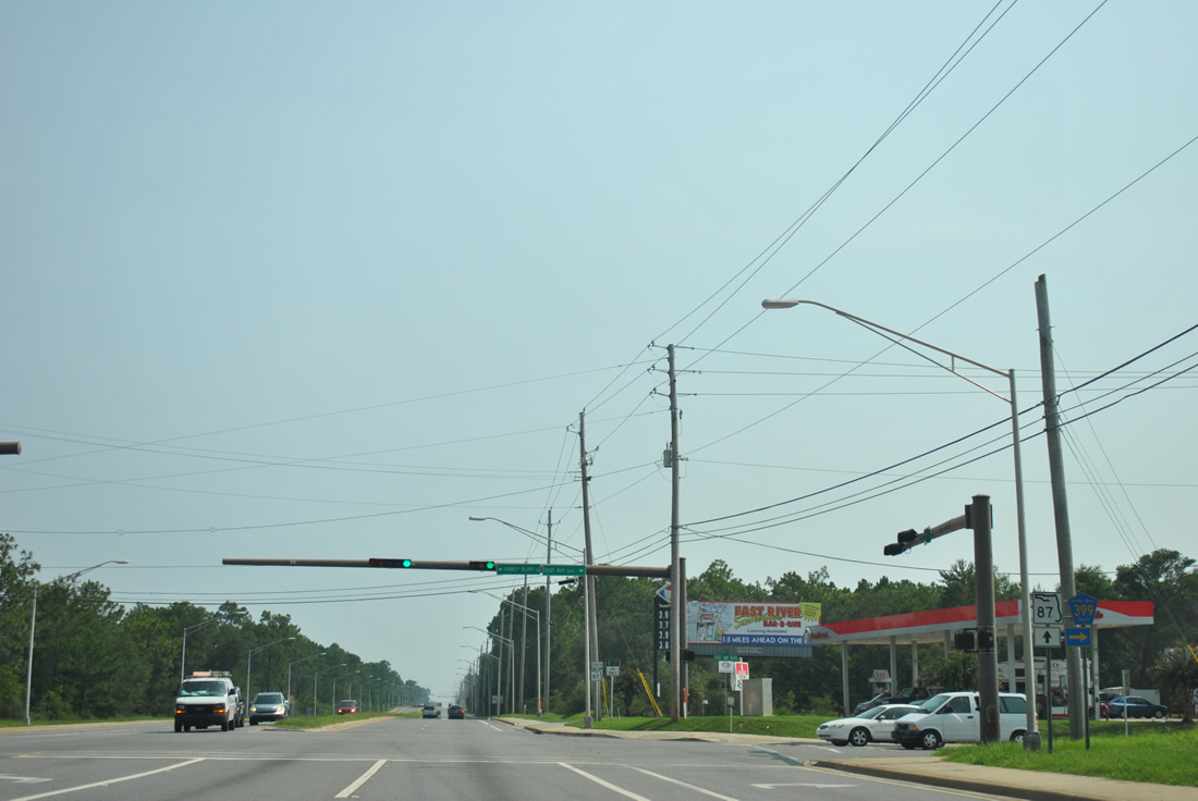
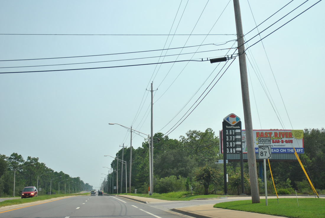
| Turning southward, SR 87 approaches the east end of Santa Rosa County Road 399 (East Bay Boulevard) and west end of Turkey Bluff Road. Turkey Bluff Road spurs east to residential areas of northeast Navarre while County Road 399 loops 9.871 miles west. 08/03/11 |
|
| Santa Rosa County Road 399 follows all of East Bay Boulevard from Navarre west to U.S. 98 at Midway. Much of the route hugs East Bay, passing by NOLF Holley and the Holley By The Sea community in the process. 08/03/11 |
|
| SR 87 continues south southwesterly through the heart of Navarre, an unincorporated bedroom community along Santa Rosa Sound. 08/03/11 |
|
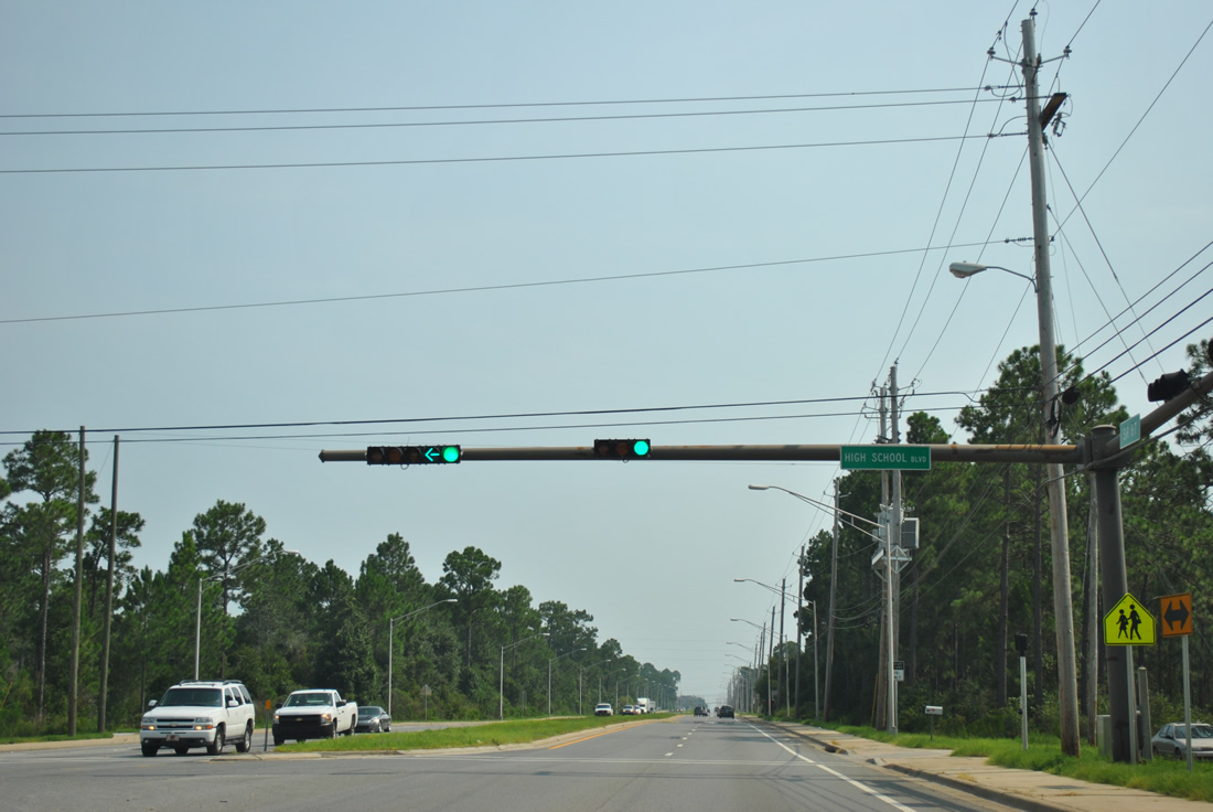
| High School Boulevard travels east from SR 87 to Navarre High School and the Navarre Sports Complex. The local roads ends at Ortega Street and Deer Lane east. 08/03/11 |
|
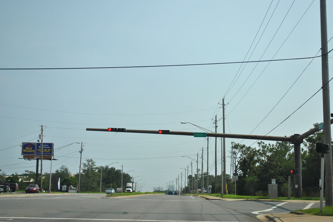
| Laredo Street is the third signal of SR 87 south in Navarre. The east-west street connects adjacent residential areas with the state road. 08/03/11 |
|
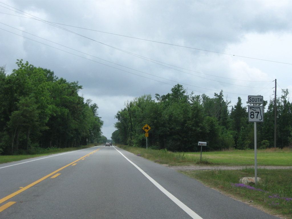
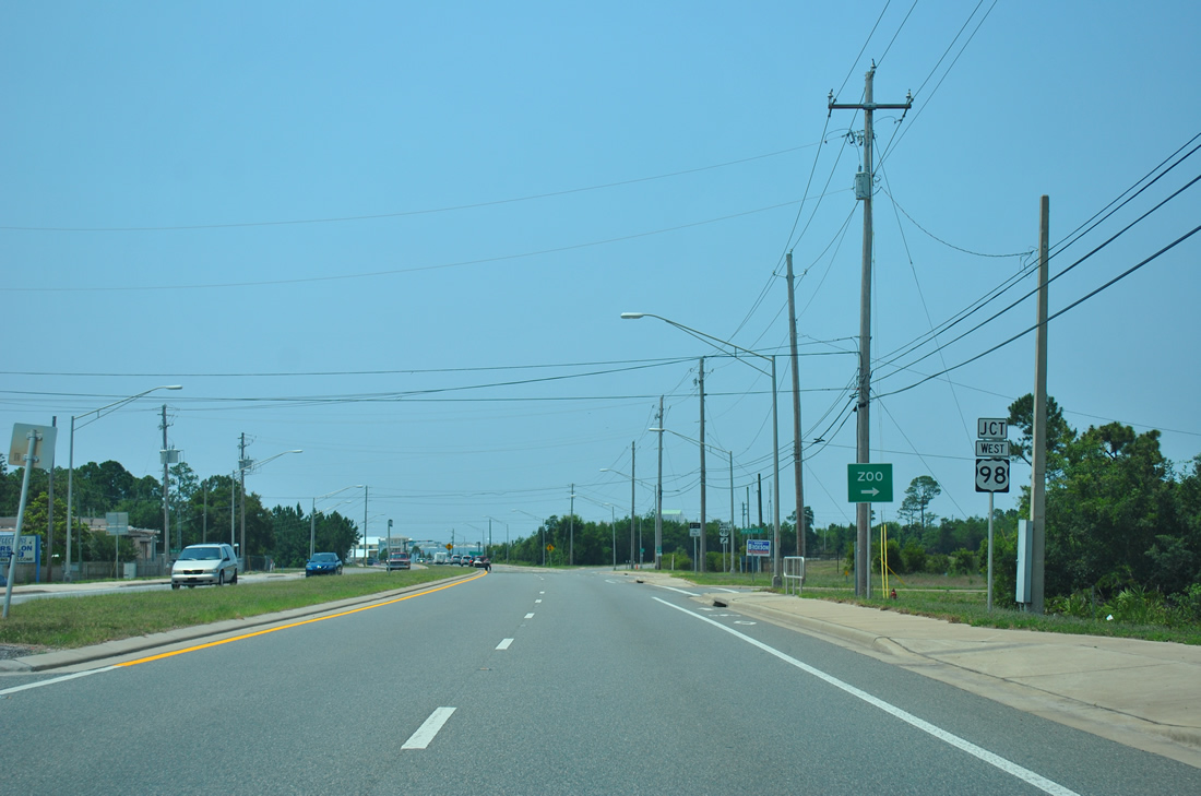
| Nearing the split of SR 87 into branches for U.S. 98 east and west at Montalban Street. 05/26/12 |
|
| Originally drivers partitioned into two SR 87 wyes at the south end of the state road. FDOT punched a new connection through in 2006, with the road meeting U.S. 98 at a conventional "T" intersection. Motorists may still use the westbound wye. 03/10/09 |
|
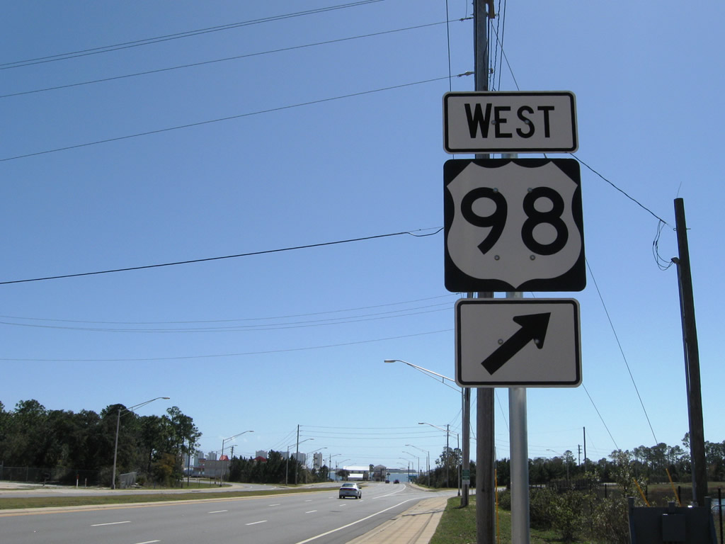
| Following the 2006-connection, SR 87 ends at U.S. 98 (Navarre Parkway) across from Santa Rosa Sound. Drivers may turn on either direction of U.S. 98. 03/10/09 |
|
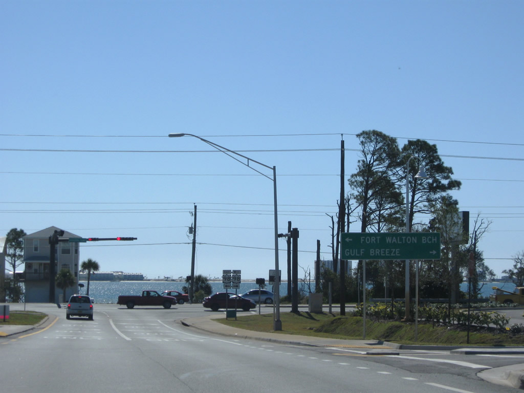
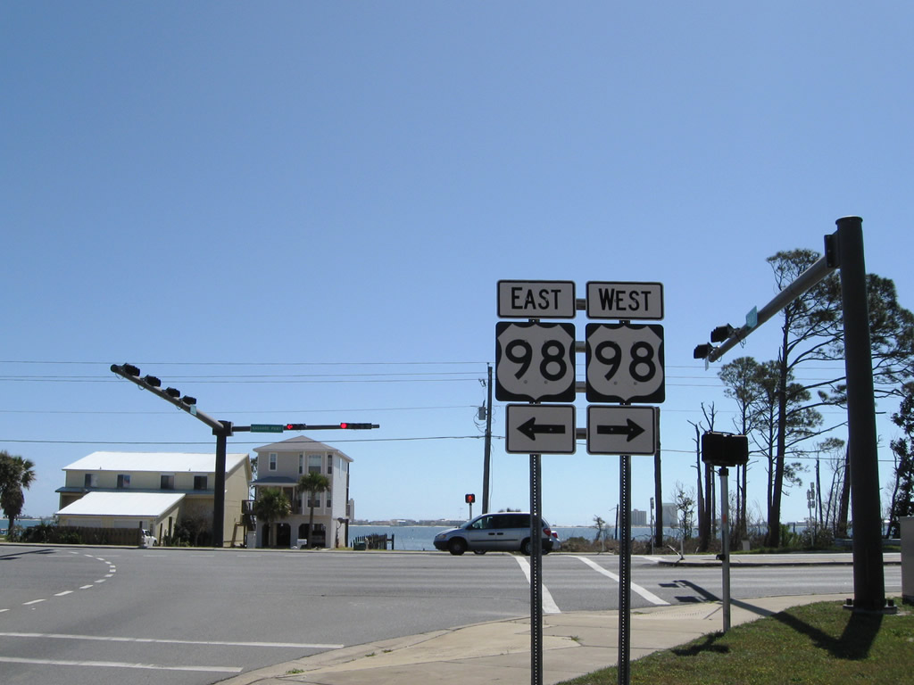
| U.S. 98 (Navarre Parkway) heads east to Wynnehaven Beach, Florosa and Fort Walton Beach and west to Holley By The Sea, Midway, Oriole Beach, and Gulf Breeze. 03/10/09 |
|
| SR 87 ends at U.S. 98 just west of the Navarre Beach Bridge (CR 399) south to Navarre Beach. The bridge carried a 50 cent toll until July 1, 2004 when Santa Rosa County took over maintenance of the 1960-built bridge. 03/10/09 |
08/24/02, 01/30/06, 02/06/06, 02/07/06, 02/08/06, 06/11/06, 11/01/08, 03/10/09, 05/03/09, 07/11/10, 08/03/11, 05/26/12, 05/18/14, 05/13/16 by AARoads
Page Updated 11-18-2014.