|
| Dedicated on September 15, 2017, POW/MIA Parkway comprises a 3.2 mile long bypass route north from U.S. 13 at Rodney Village to SR 15 at W North Street and Saulsbury Road in Dover. 12/29/20 |
|
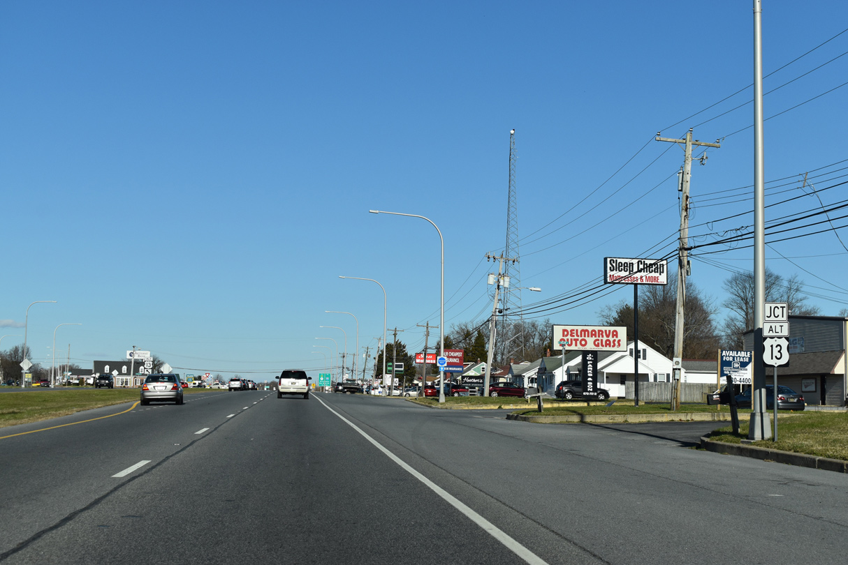
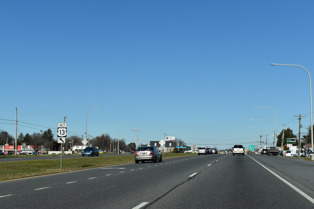
| U.S. 13 ALT branches west from U.S. 13 (S Dupont Highway) along S Governors Avenue at Rodney Village. 12/29/20 |
|
| A 3.86 mile long route to U.S. 13 (N Dupont Highway) beyond Silver Lake, U.S. 13 ALT (Governors Avenue) runs north to Downtown Dover. 12/29/20 |
|
| Confirming marker posted north of the split with U.S. 13 ALT (S Governors Avenue). 12/29/20 |
|
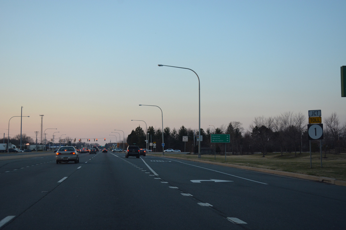
| Branching east from S Dupont Highway a half mile beyond Lakeview Avenue, the Puncheon Run Connector is a limited access highway linking U.S. 13 with SR 1 north along the Korean War Veterans Memorial Highway. 12/29/20 |
|
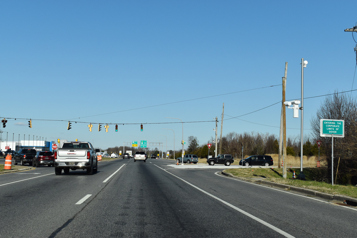
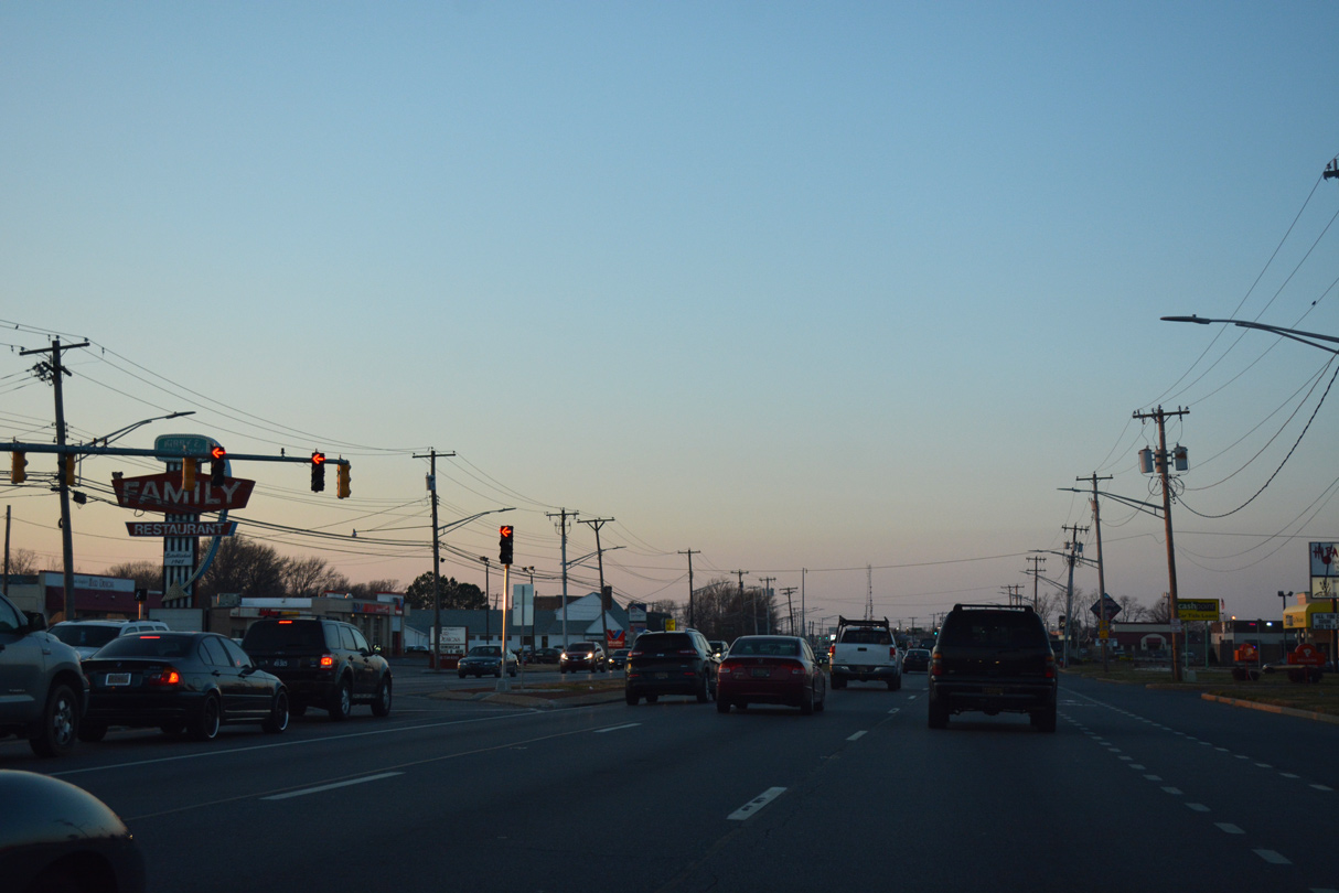
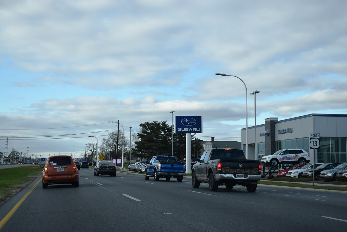
| U.S. 13 (S Dupont Highway) enters the city of Dover at Webbs Lane (Rd 192). 12/29/20 |
|
| North from Webbs Lane, U.S. 13 approaches the Puncheon Run Connector (Rd 150A) east. The freeway spur opened to traffic on December 19, 2000. 12/29/20 |
|
| Forming a bypass of Dover for U.S. 13, the Puncheon Run Connector ties into northbound SR 1 (Korean War Veterans Memorial Highway) 2.39 miles to the east. The Puncheon Run Connector also provides access to Bay Road (former U.S. 113) to Dover Air Force Base and the Blue Hen Corporate Center. 12/29/20 |
|
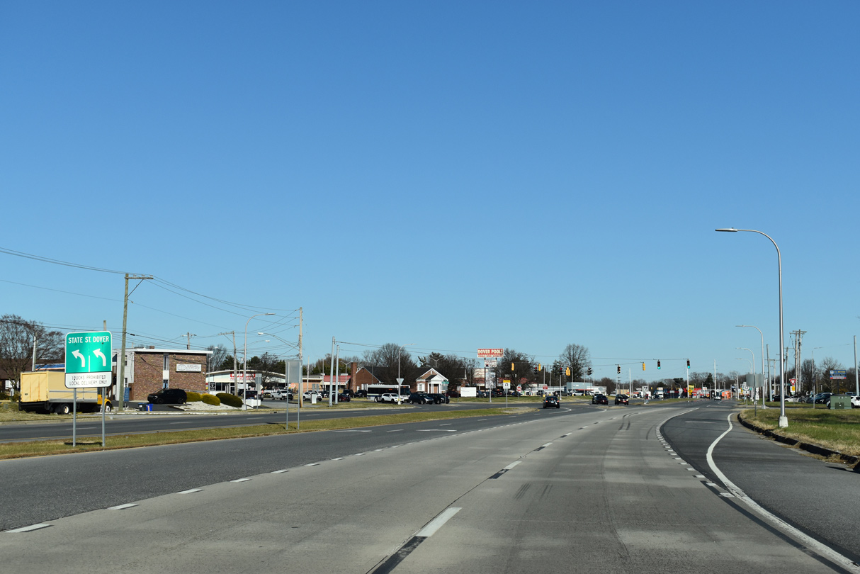
| U.S. 13 (S Dupont Highway) initially parallels the Puncheon Run Connector northeast to S State Street and Roosevelt Avenue. 12/29/20 |
|
| S State Street represents the original alignment of U.S. 113 Alternate north from Magnolia. The U.S. route was eliminated along with U.S. 113 north of Milford in February 2004. 12/29/20 |
|
| State Street runs north from U.S. 13 (Dupont Highway) to historic Downtown Dover and south to Rising Sun. 12/29/20 |
|
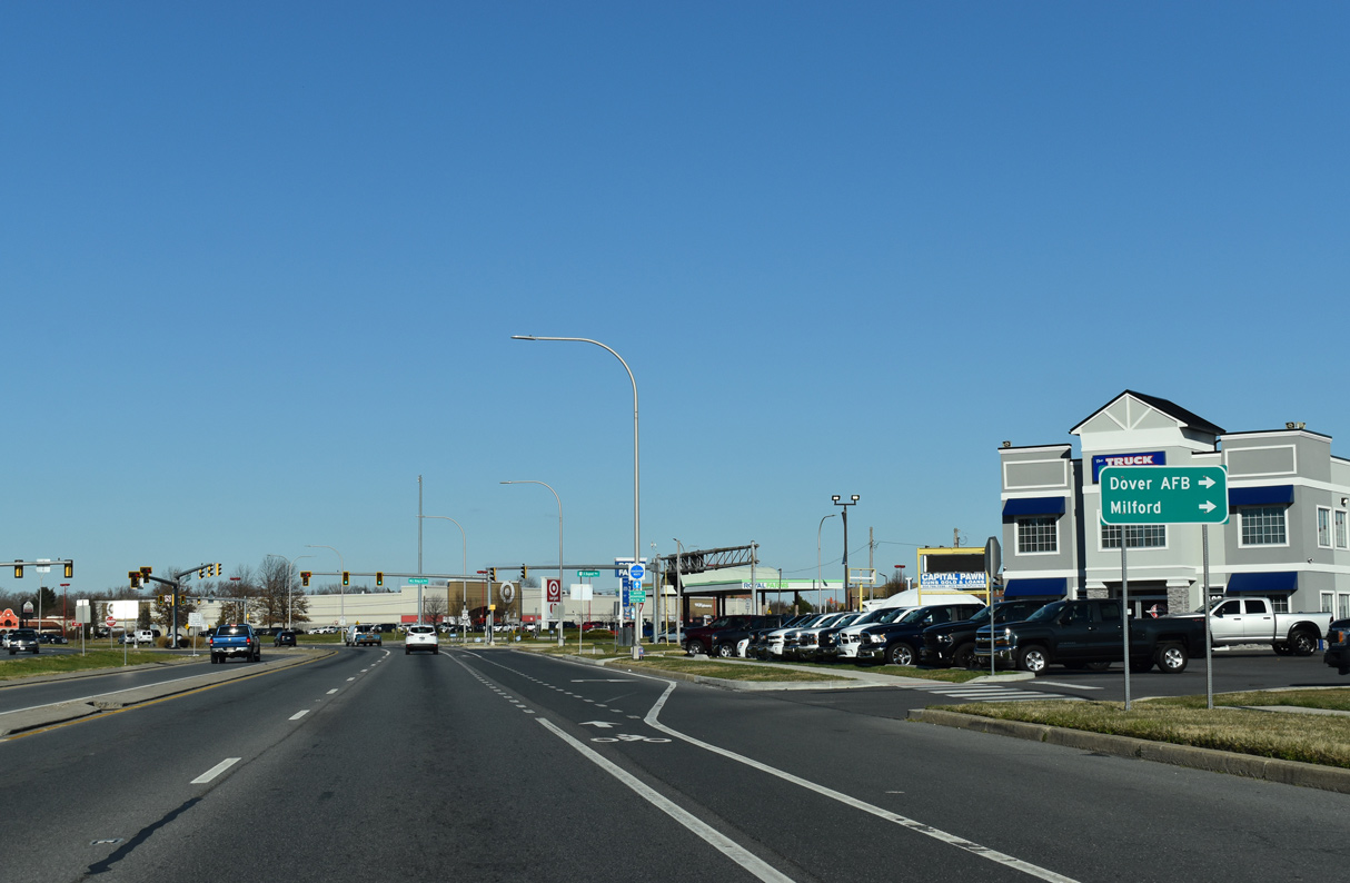
| U.S. 13 continues through Dover 13 miles to Smyrna. U.S. 113 ALT previously overlapped with U.S. 13, 1.59 miles north to Bay Road where U.S. 113 ended. 12/29/20 |
|
| Roosevelt Avenue is a 0.25 mile long connector street west from U.S. 13 (DuPont Highway) to S State Street and Wyoming Avenue. 12/29/20 |
|
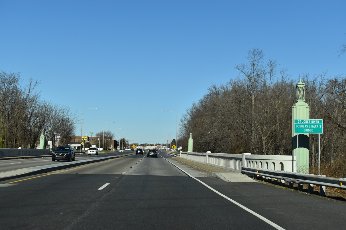
| Built in 1951, the Douglas L. Harris Bridge takes U.S. 13 across the St. Jones River. The St. Jones River flows south from Silver Lake in Dover to Delaware Bay at Kitts Hummock. 12/29/20 |
|
| U.S. 13 (Dupont Highway) advances north to intersect River Road north and Public Safety Boulevard south. Public Safety Boulevard serves a bevy of government service buildings, including the Delaware Department of Transportation (DelDOT) Danner Campus. 12/29/20 |
|
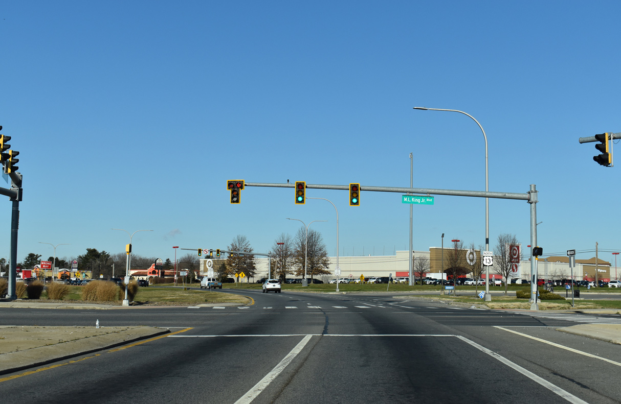
| U.S. 13 continues north to Martin Luther King, Jr. Boulevard. MLK Boulevard provides access to adjacent Bay Road (former U.S. 113) south and South Little Creek Road east to SR 9 at Little Creek. 12/29/20 |
|
| MLK Boulevard (Rd 67) west crosses the St. Jones River to Legislative Hall and the State Capitol Complex. Dover City Council approved the renaming of Court Street as MLK Boulevard on January 21, 2013.1 12/29/20 |
|
| U.S. 13 (Dupont Highway) northbound converges with Bay Road (Rd 7) just beyond MLK Boulevard. Until February 2004, the wye intersection represented the north end of both U.S. 113 and U.S. 113 Alternate. 12/29/20 |
|
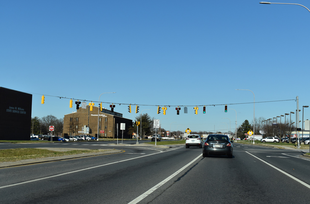
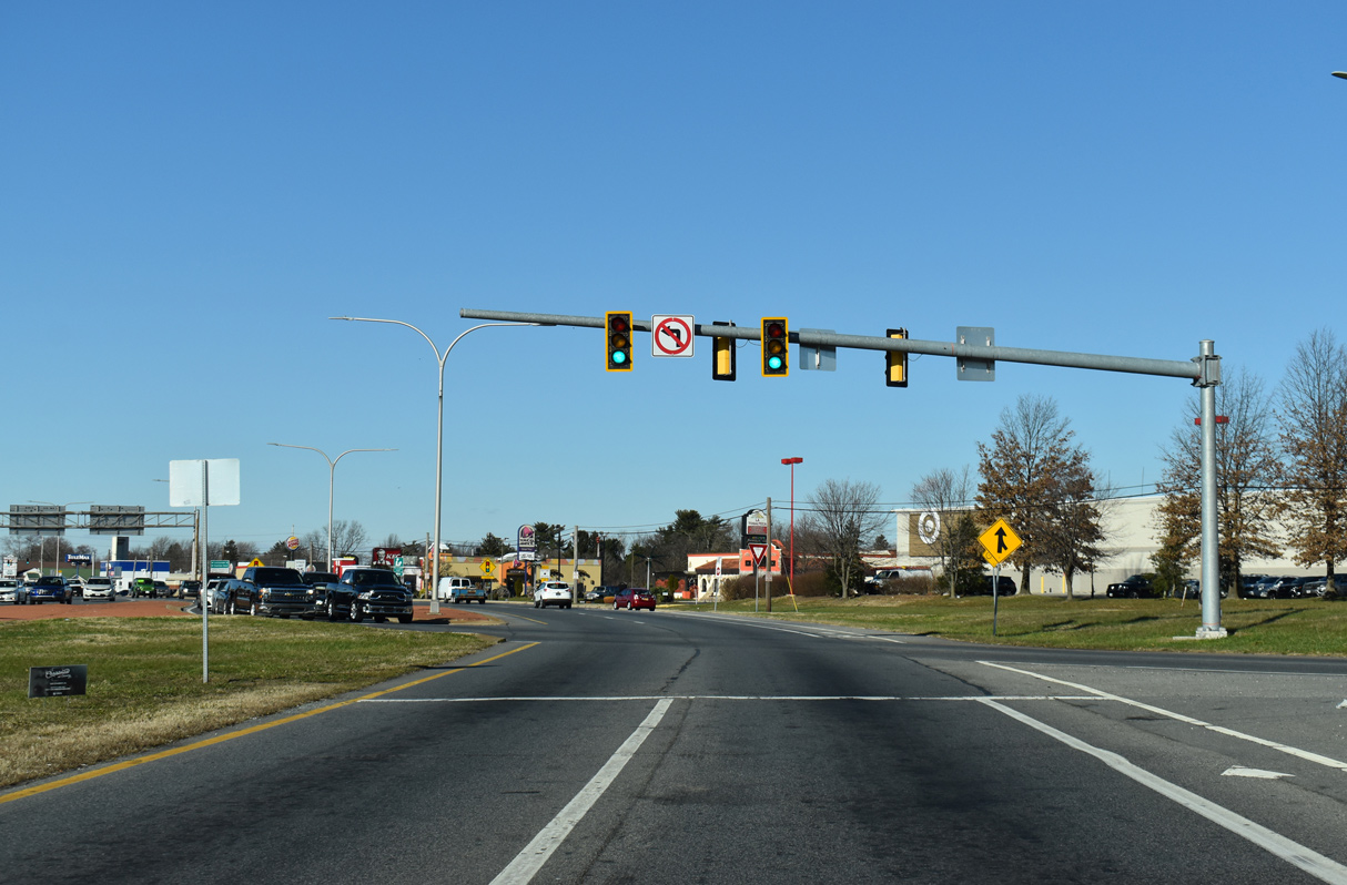
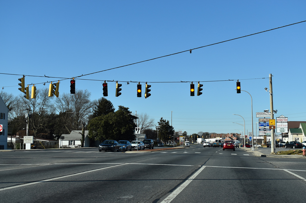
| U.S. 13 expands to a six lane arterial between Bay Road and Loockerman Street. Loockerman Street (Rd 23) heads west from U.S. 13 to Dover City Hall and Downtown. 12/29/20 |
|
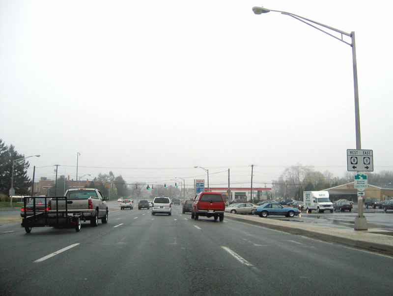
| SR 8 (Division Street) parallels Loockerman Street 0.16 miles to the north across U.S. 13. All signs for SR 8 on Dupont Highway northbound were removed. 08/05/07 |
|
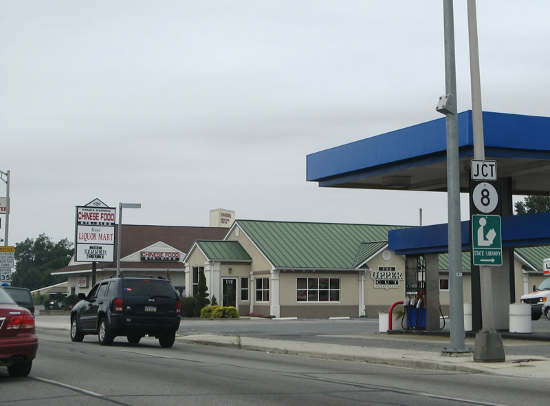
| Linking Dover with Pearsons Corner and Marydel to the west and Little Creek to the east, SR 8 stretches 17.15 miles across Kent County. 08/05/07 |
|
| This sign for SR 8 was removed after 2008. 04/13/04 |
|
| Delaware State Route 8 lines Division Street west toward Downtown Dover and east through the Dover Heights community. 12/29/20 |
|
| NE Kings Highway (Rd 66) loops northeast from SR 8 (Division Street) 0.40 miles to U.S. 13 (N Dupont Highway) at White Oak Road. 12/29/20 |
|
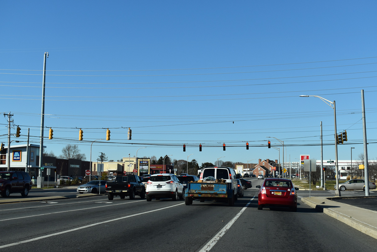
| The ensuing traffic light along U.S. 13 (N Dupont Highway) northbound is for The Centre at Dover retail plaza and the entrance to Lake Club Apartments. 12/29/20 |
|
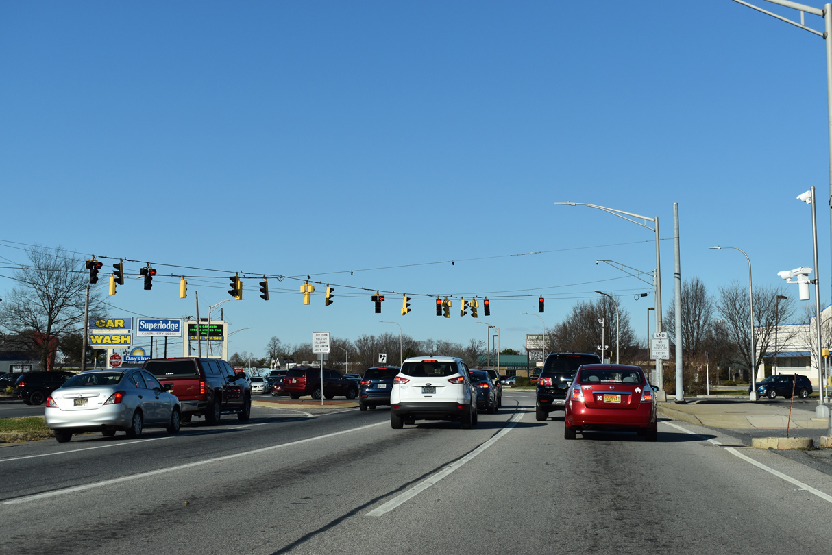
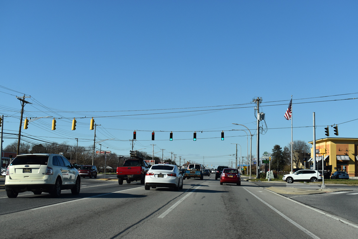
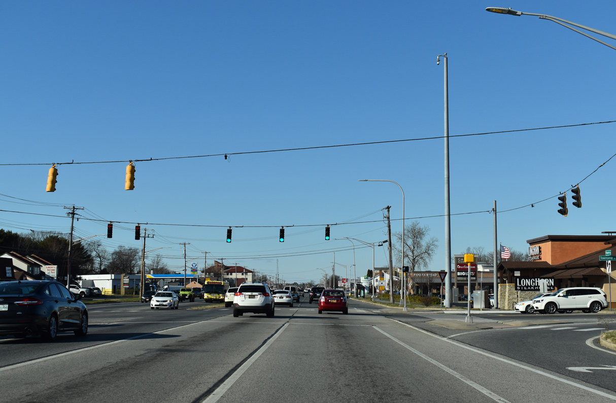
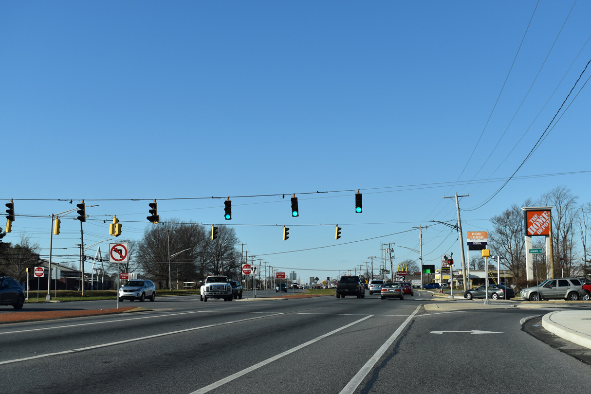
| U.S. 13 advances north as a six lane commercial arterial to Townsend Boulevard east and Lakeview Drive west by the Capitol Commons shopping center. 12/29/20 |
|
| Lepore Drive (Rd 3B) links U.S. 13 north with U.S. 13 Alternate (State Street) south across Silver Lake, 0.16 miles to the west. 12/28/16 |
|
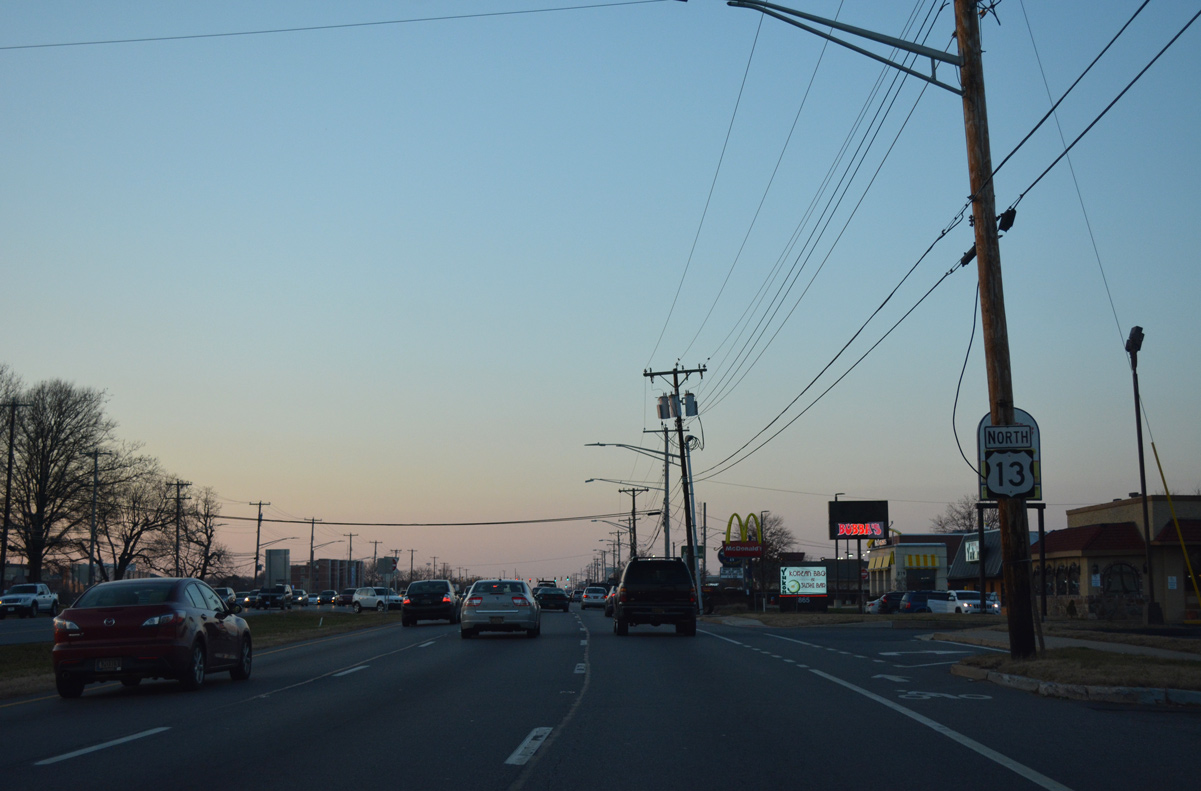
| U.S. 13 ALT through Dover returns to U.S. 13 (Dupont Highway) across from Leipsic Road (Rd 88) north to Dover Motor Speedway. 12/29/20 |
|
| U.S. 13 continues with six overall lanes from U.S. 13 ALT (N State Street) north by the North Dover Center retail area and adjacent Dover Motor Speedway. 12/28/16 |
|
| College Avenue (Rd 99) winds west from Dupont Highway at the succeeding northbound signal by Delaware State University 1.33 miles to SR 15 (McKee Road). 12/18/20 |
|
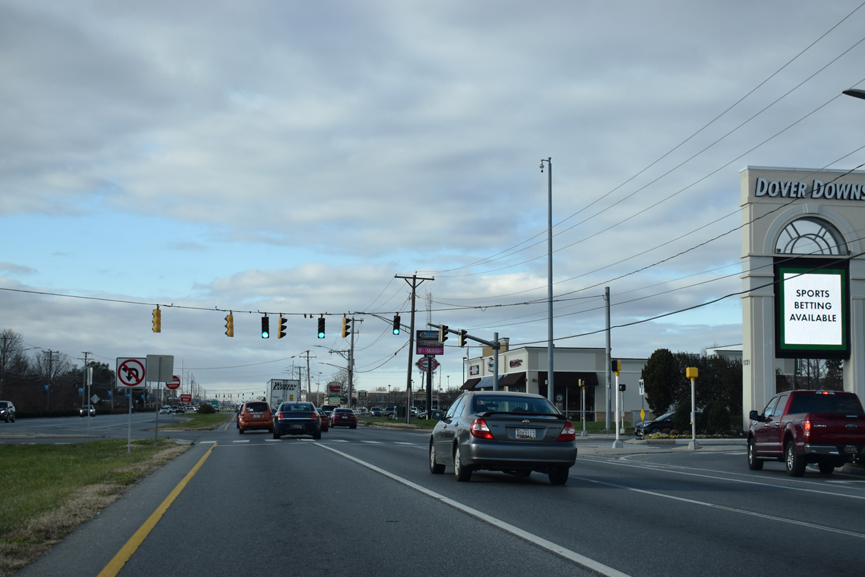
| The subsequent signal operates at the entrance to Dover Downs Hotel & Casino. Dover Downs occupies the west side of the stock car and harness racing tracks at Dover Motor Speedway. 12/18/20 |
|
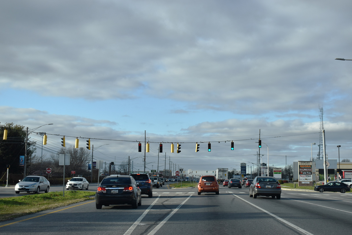
| The main entrance to Delaware State University (DSU) ties into U.S. 13 (Dupont Highway) across from Farley Plaza and adjacent big box retail. 12/18/20 |
|
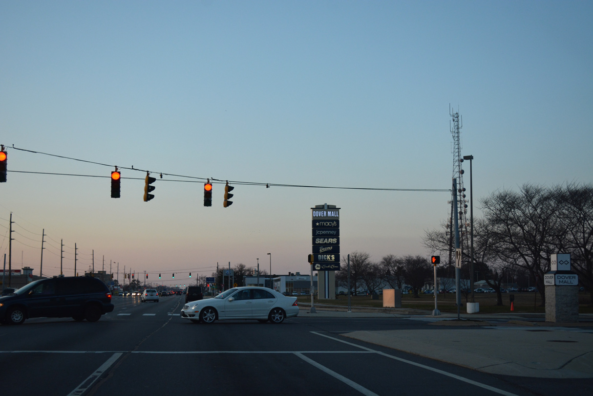
| Back to back access roads join U.S. 13 (Dupont Highway) with Dover Mall. Opened in 1982, Dover Mall is the only enclosed mall in the capital city. 12/28/16 |
|
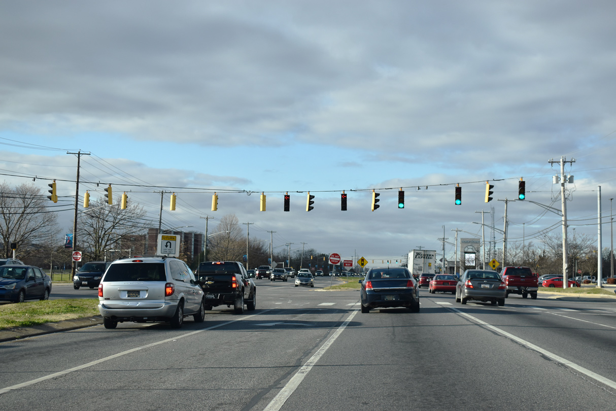
| A lane drop occurs one mile north of Dover Mall at Scarborough Road and the access road to SR 1 (Korean War Veterans Memorial Highway). 12/28/16 |
|
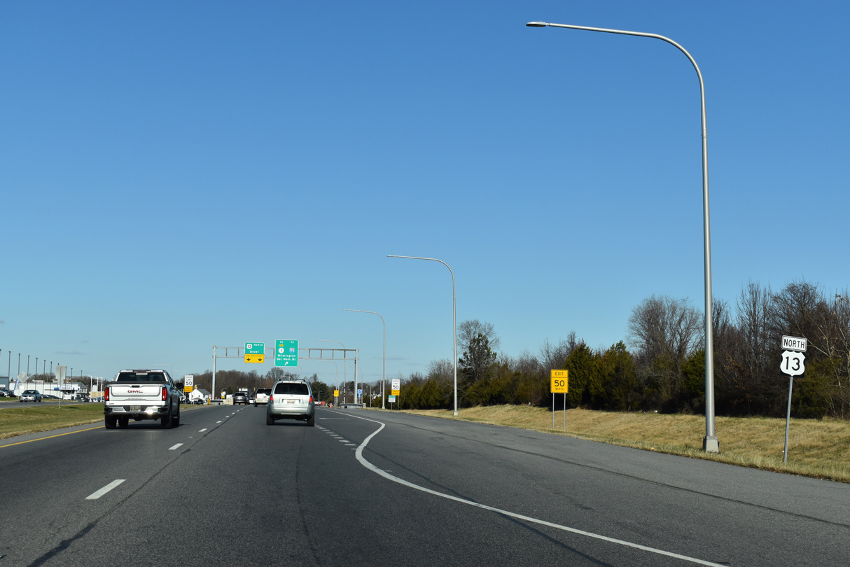
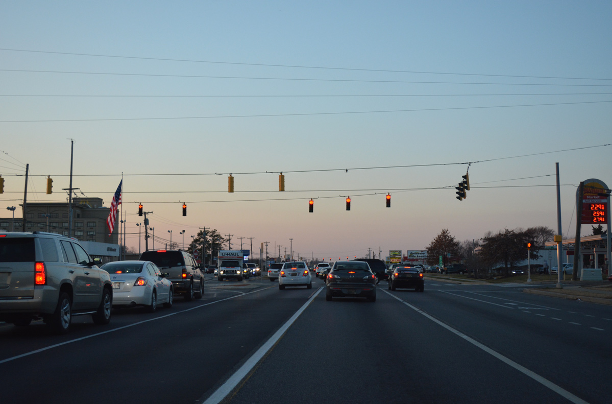
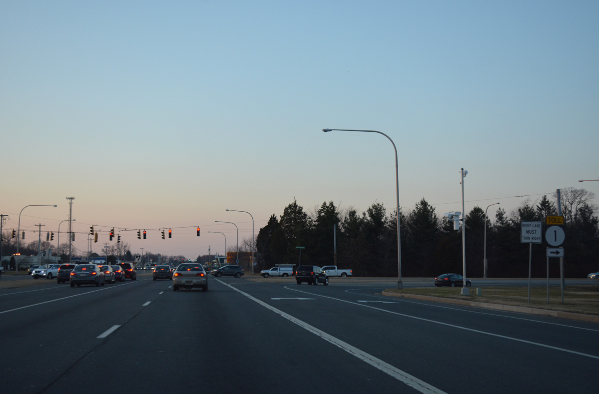
| With 50,000 vpd, U.S. 13 (Dupont Highway) remains a busy commercial arterial north to the SR 1 ramps at Scarborough Road. 12/18/20 |
|
| Additional big box retail lines U.S. 13 north at Rustic Lane and Dover Town Center. 12/28/16 |
|
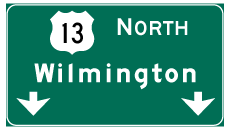
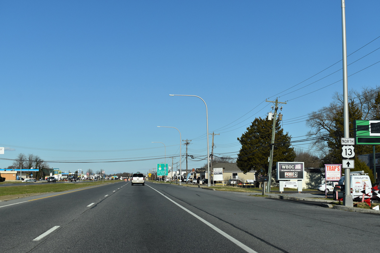
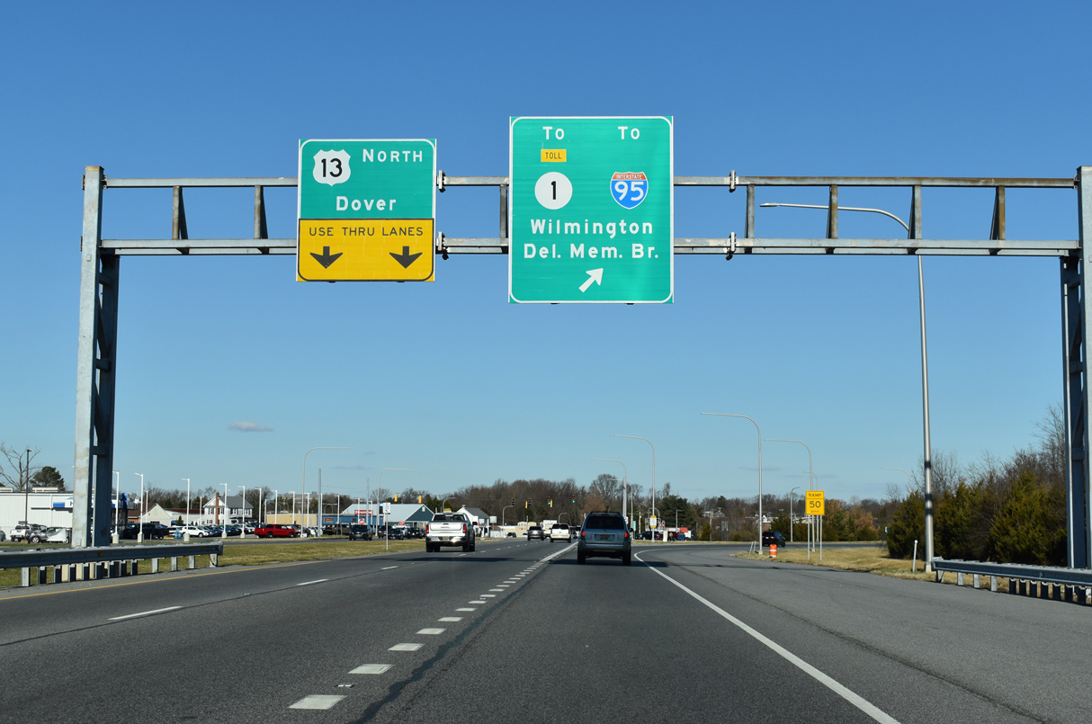
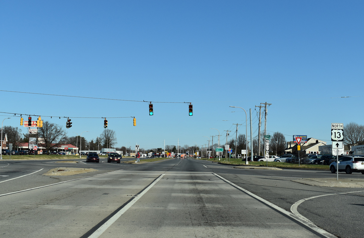
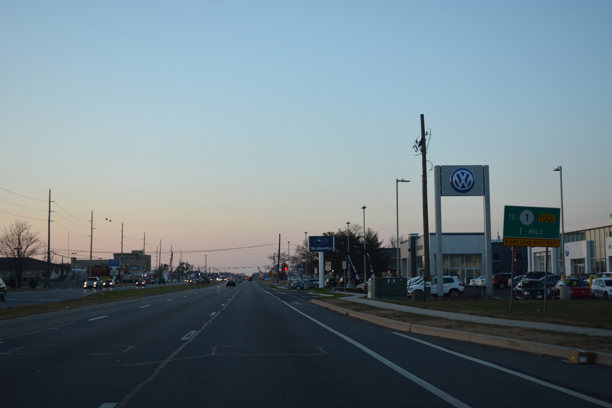
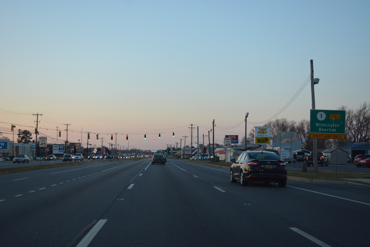
| The right lane turns onto the ramps for SR 1 south to Sussex County and north to Wilmington at the third traffic light north from Maxwell Street. 12/28/16 |
|
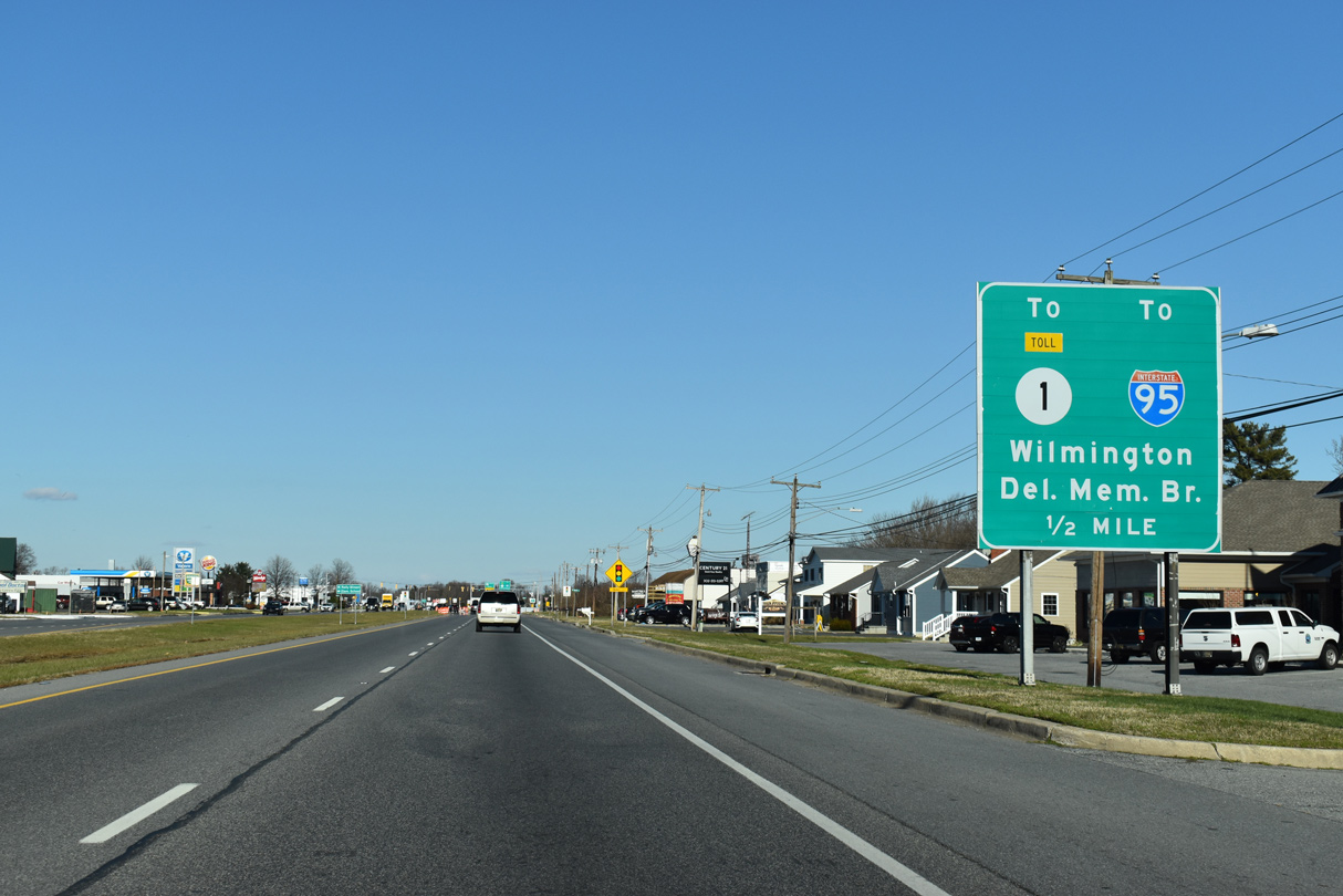
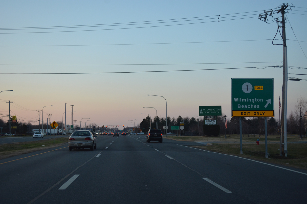
| Traffic departs U.S. 13 (Dupont Highway) north for SR 1 by the Dover campus of Wilmington University. The Dover-Smyrna portion of the toll road opened to traffic on December 21, 1993. 12/28/16 |
|
| The right turn for SR 1 expands to two lanes as U.S. 13 approaches Scarborough Road. Scarborough Road constitutes a connector leading southwest from SR 1 and Dupont Highway to SR 15 (McKee Road). 12/28/16 |
|
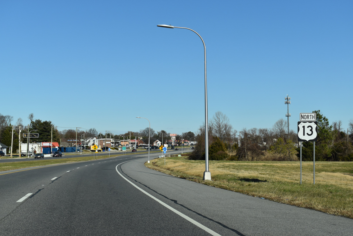
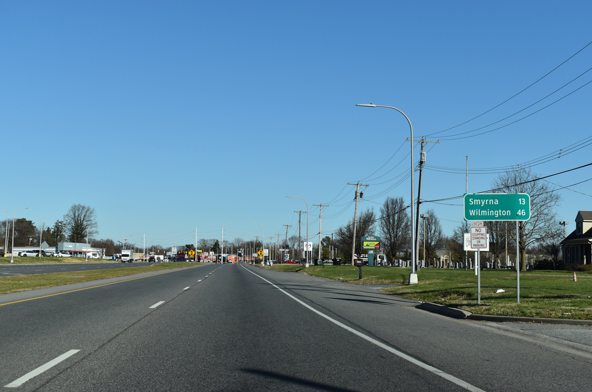
| SR 1 stays east of U.S. 13 from Dover north to Smyrna. The two routes intertwine several times northward through New Castle County to Tybouts Corner. The next link between the two otherwise is located 6.2 miles ahead in south Smyrna. 12/28/16 |
|
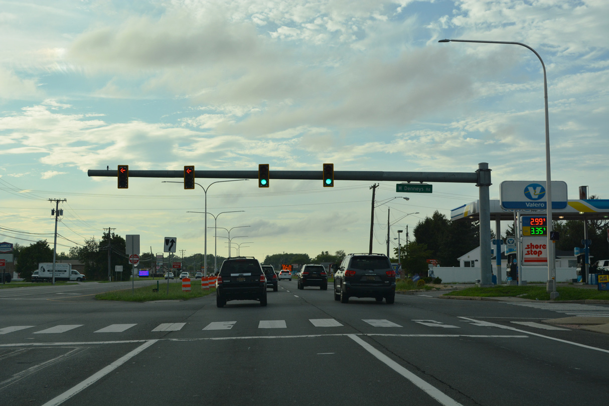
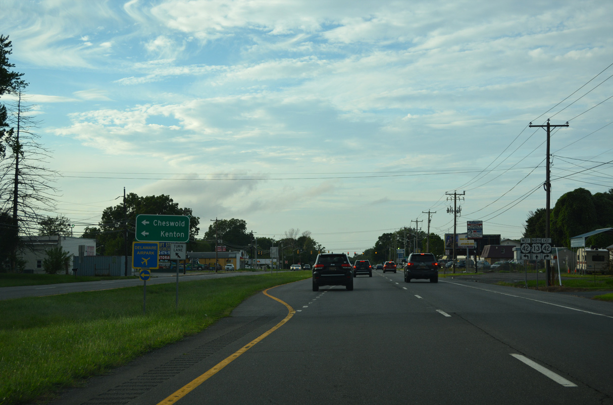
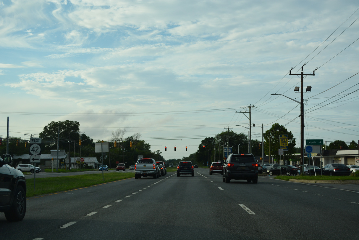
| Denneys Road leads west through northern reaches of Dover to become a part of SR 15 between McKee and Kenton Roads. Denneys Road east extends to SR 42 near Leipsic, albeit it in a convoluted route made by the construction of SR 1. 08/17/21 |
|
| Dyke Branch Road meanders west from SR 9 (Bayside Drive) to end at U.S. 13 (Dupont Highway) opposite Fork Branch Road at this traffic light. 08/17/21 |
|
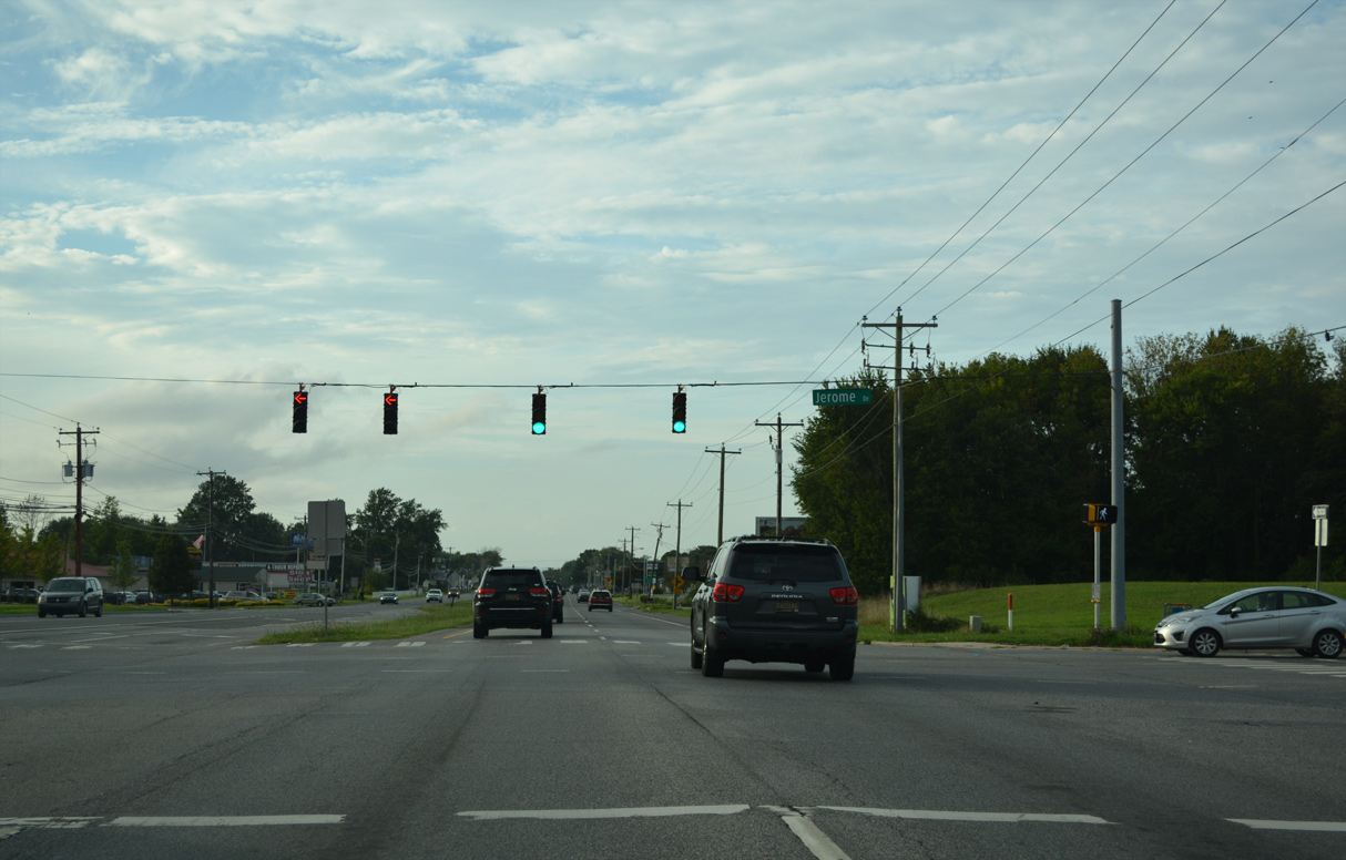
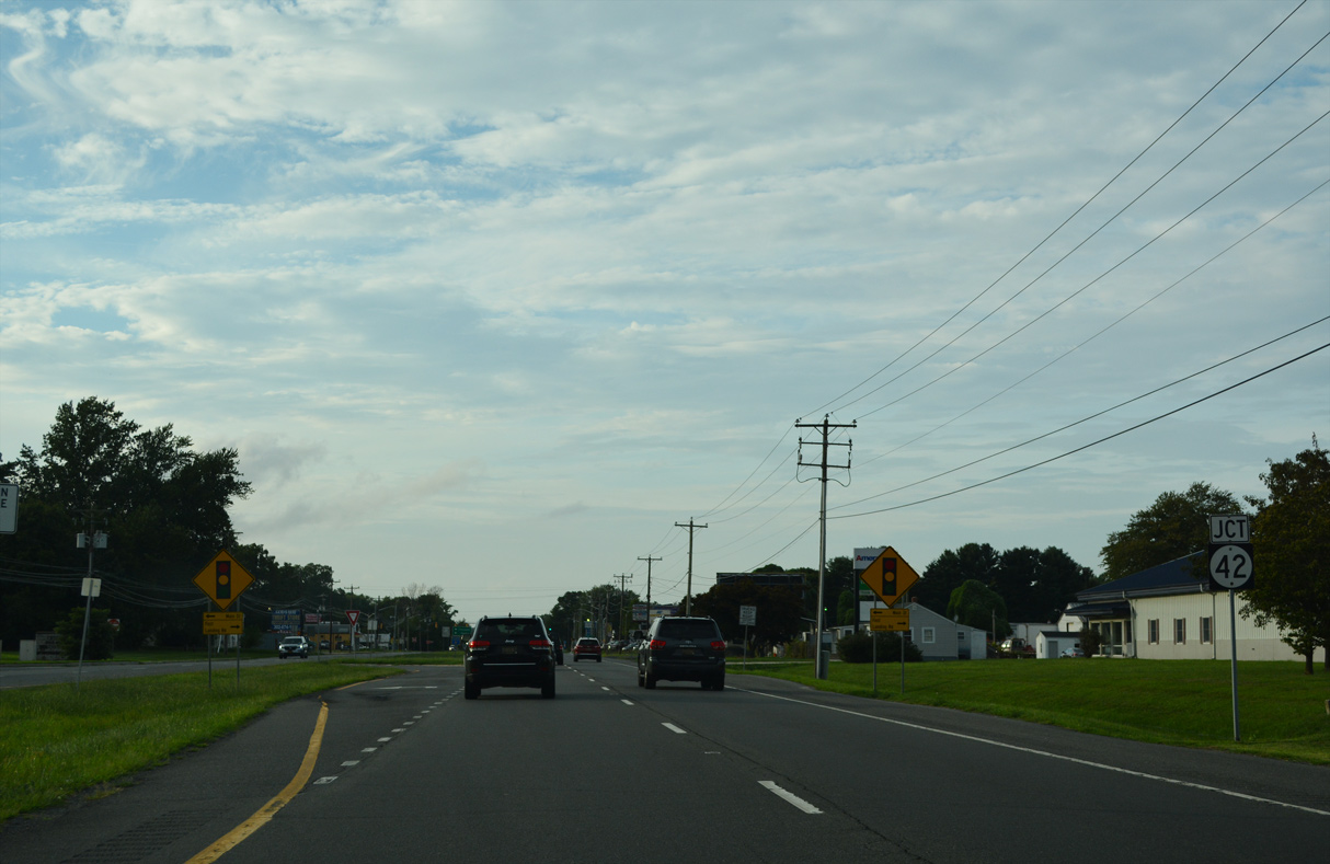
| The signal at Jerome Drive serves an adjacent Wal-Mart as U.S. 13 reaches the town of Cheswold. 08/17/21 |
|
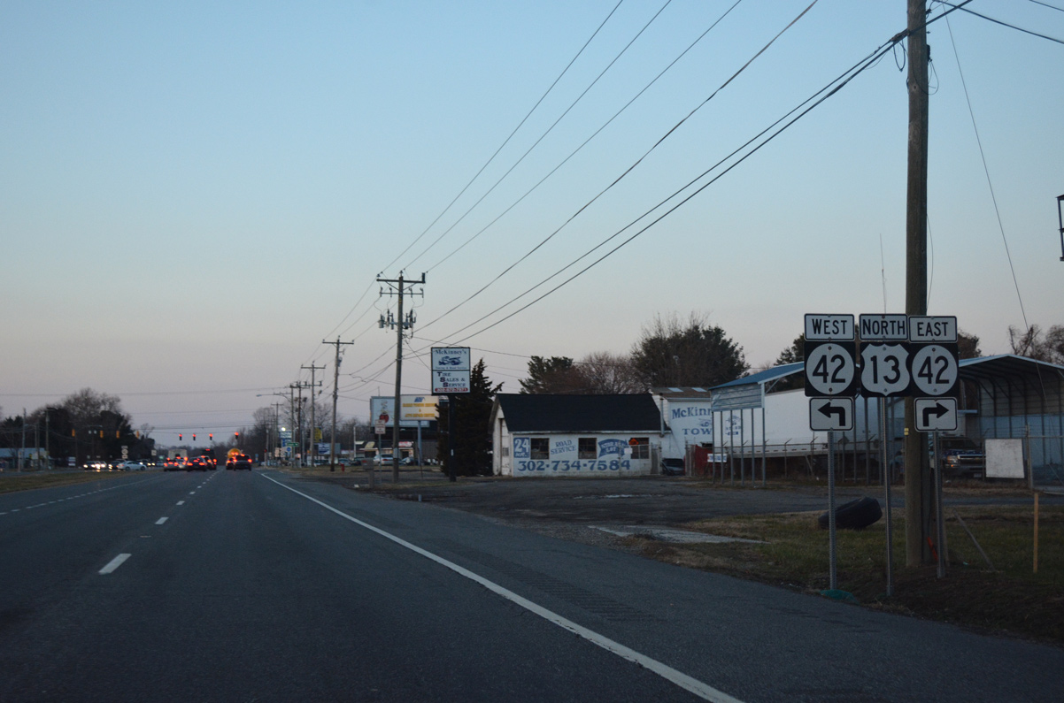
| Forthcoming SR 42 converges with U.S. 13 (Dupont Highway) from Main Street east through the Cheswold town center. 08/17/21 |
|
| 12.72 miles in overall length, SR 42 travels in an arc from Cheswold west to SR 6 at Blackiston and east to SR 9 in Leipsic. 08/17/21, 12/28/16 |
|
| SR 42 follows Fast Landing Road east across SR 1 along a mostly rural course to 2nd Street in the town of Leipsic. 08/17/21 |
|
| U.S. 13 north generally stays east of Cheswold, with annexations adding newer subdivisions off of SR 42 or west of Dupont Highway. 08/17/21 |
|
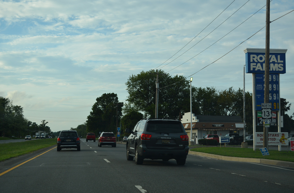
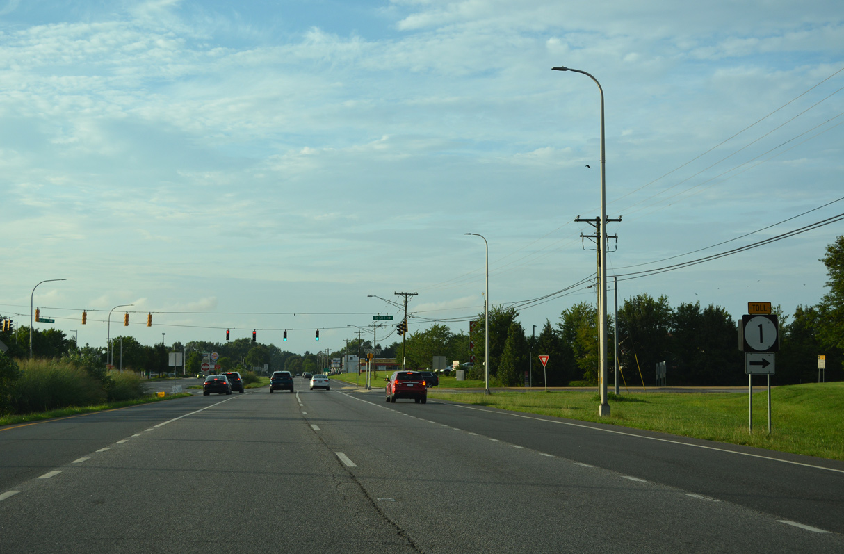
| Confirming marker for U.S. 13 posted north of SR 42 (Main Street). The adjacent SR 1 toll road curves westward to its closet point to Dupont Highway nearby. 08/17/21 |
|
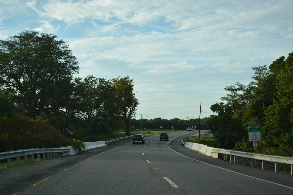
| Messina Hill Road loops west from U.S. 13 through the community of Bethel just south of the Dupont Highway crossing of Garrison Lake and the Leipsic River. 08/17/21 |
|
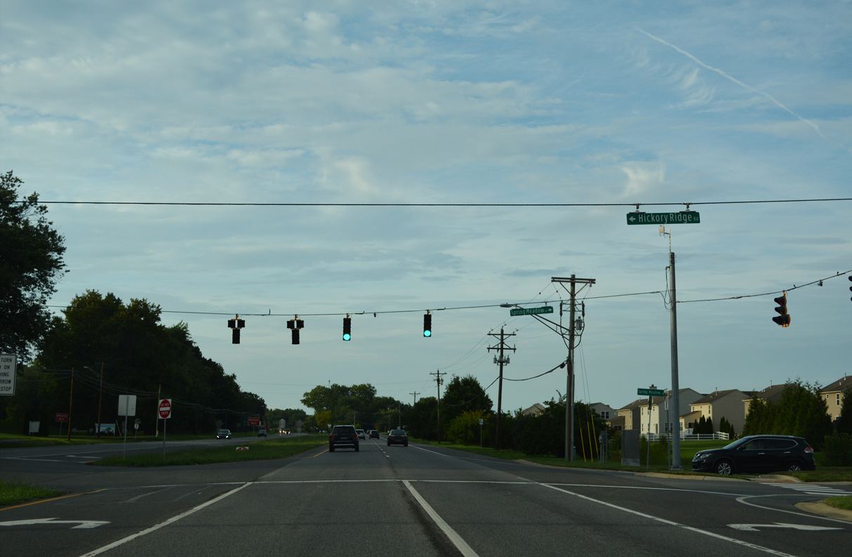
| Hickory Ridge Road constitutes a suburban road northwest to Brenford Road on the outskirts of Smyrna. It intersects U.S. 13 across from the Spring Meadow subdivision. 08/17/21 |
|
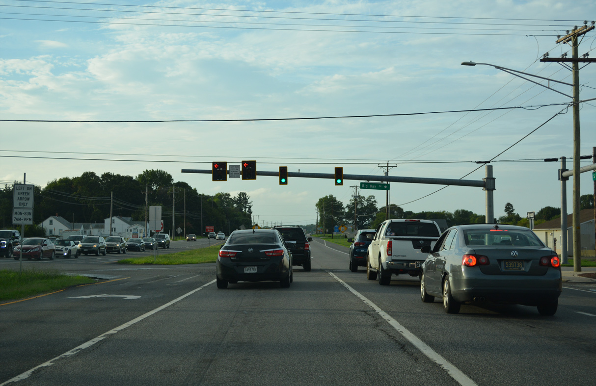
| Brenford Road arcs northeast from SR 42 (Seven Hickories Road) and Hickory Ridge Road to intersect U.S. 13 opposite Big Oak Road. Big Oak Road provides a cutoff to Smyrna Leipsic Road (old SR 9) beyond Big Oak County Park. New mast arm signals were installed at this location between December 5 and 8, 2016. 08/17/21 |
|
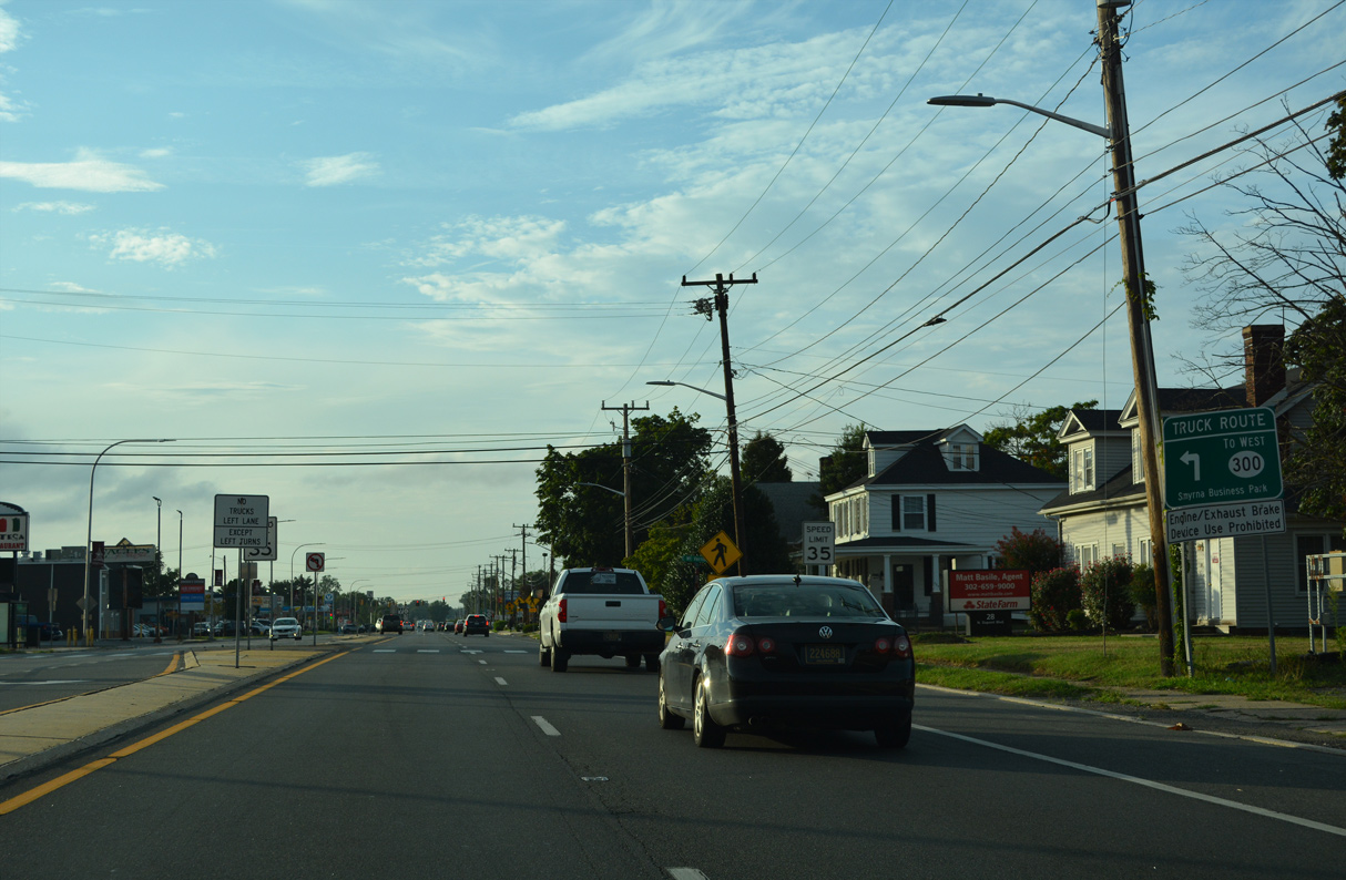
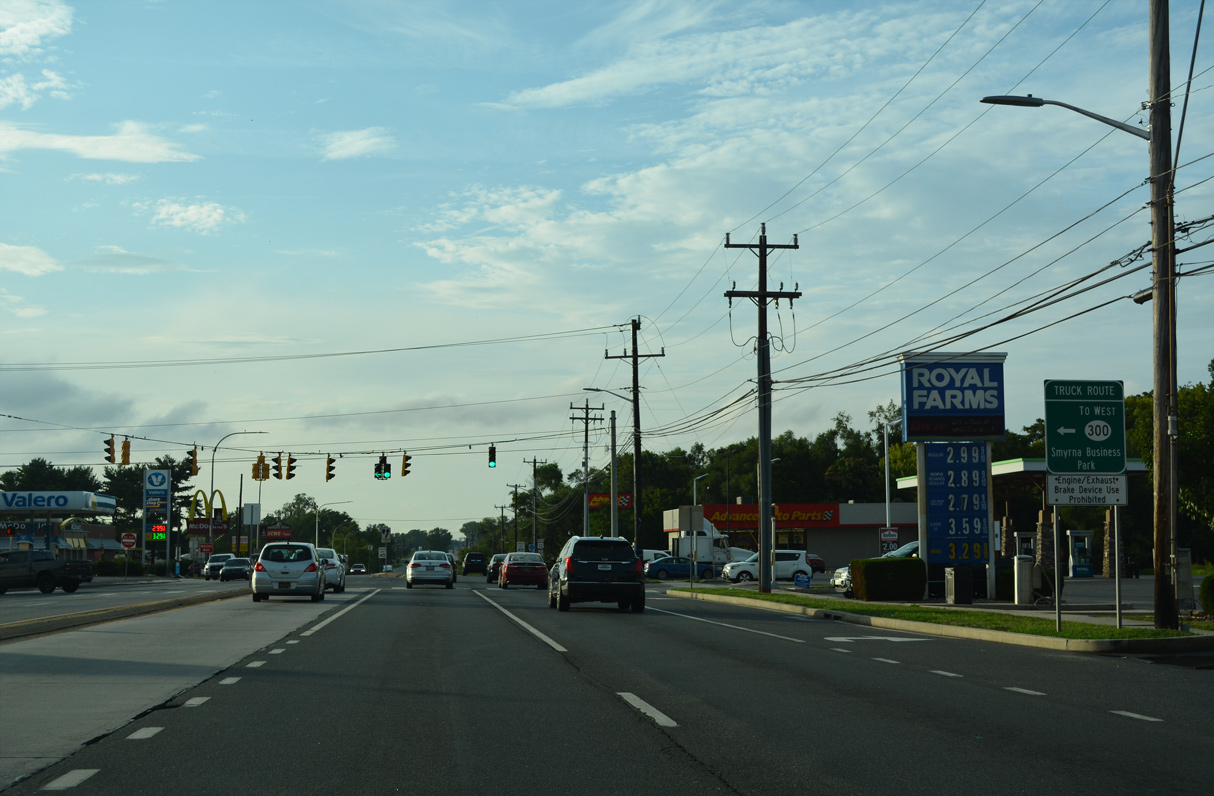
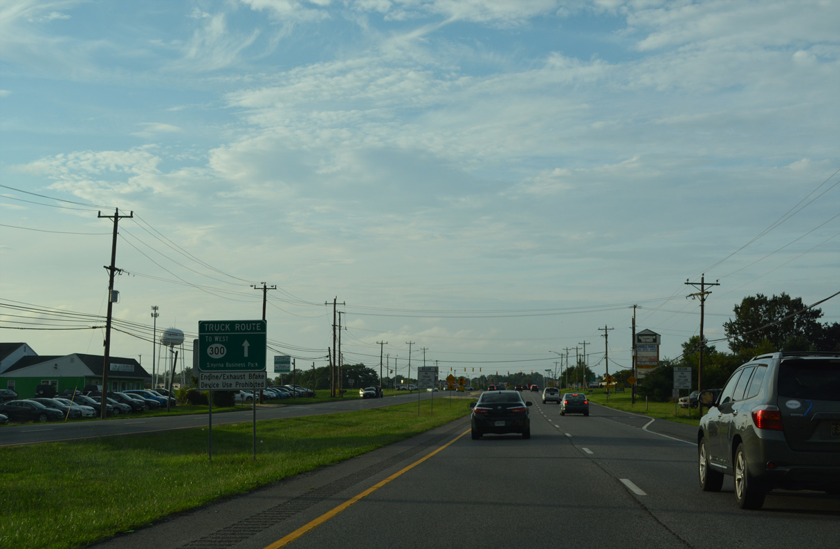
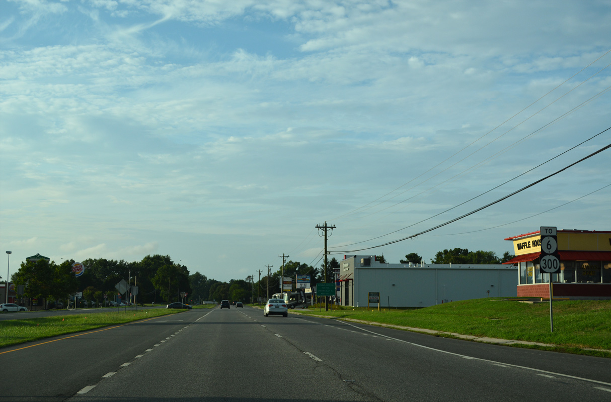
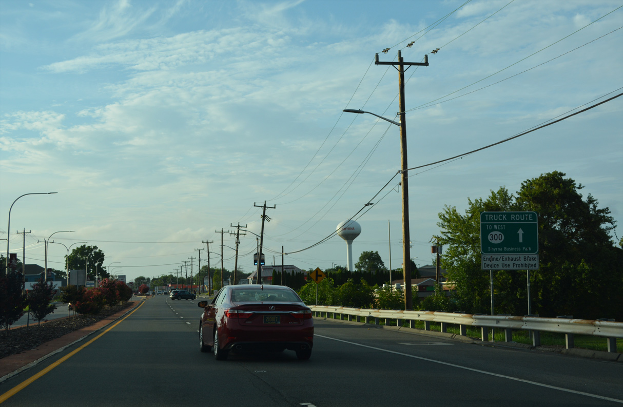
| Advancing to the Smyrna town line, a series of signs advise truckers to remain along U.S. 13 north to SR 300 west directly for Smyrna Business Park. Forthcoming Carter Road (Road 137) leads to SR 300 directly near the industrial park. 08/17/21 |
|
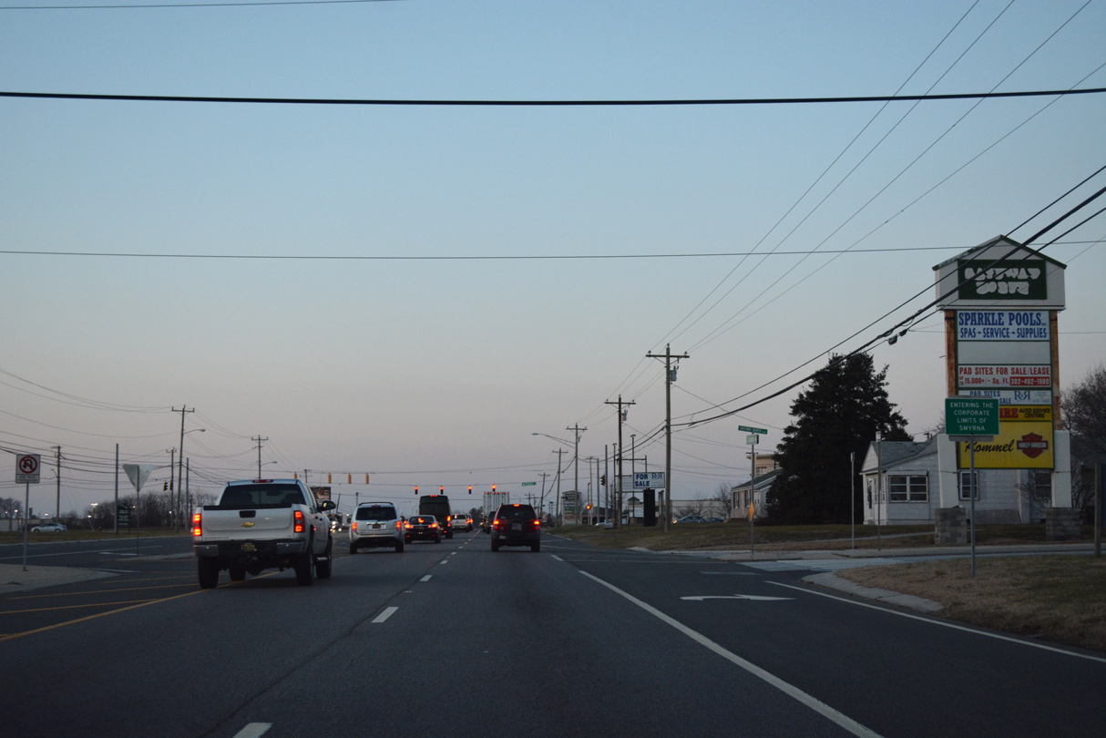
| Entering the Smyrna corporate limits along U.S. 13 north. U.S. 13 is named Dupont Boulevard through the Kent County portion of the town. 12/28/16 |
|
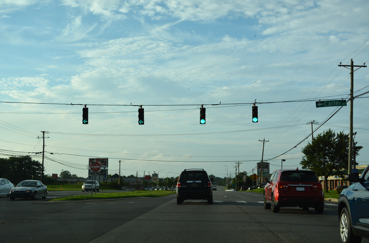
| Carter Road angles northwest from U.S. 13 at Pharmacy Drive and Gateway North shopping center by a number of subdivisions to SR 300 (Wheatleys Pond Road). 08/17/21 |
|
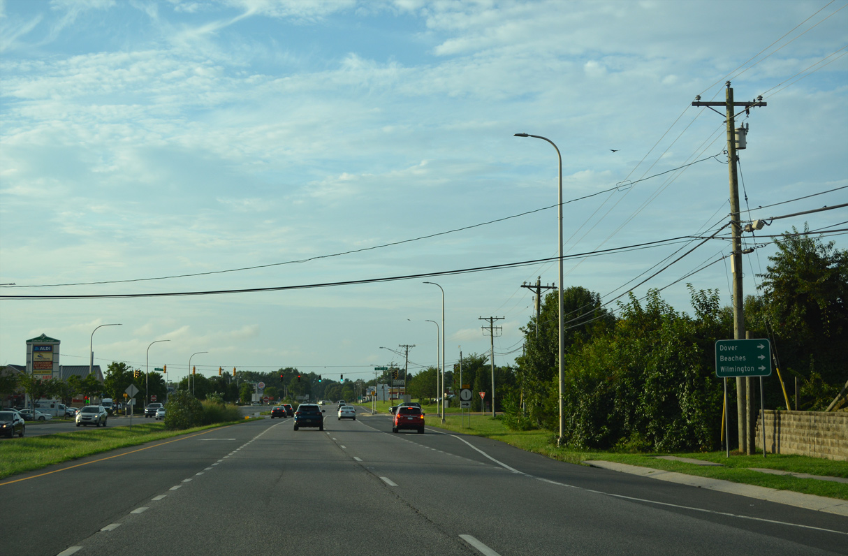
| Traveler services line both sides of U.S. 13 to the ensuing access road linking Dupont Boulevard with SR 1 (Korean War Veterans Memorial Highway). 08/17/21 |
|
| SR 1 bypasses the east and north sides of Smyrna from U.S. 13 across Duck and Mill Creeks. U.S. 13 represents the main commercial arterial through the growing town of 13,000 plus. 08/17/21 |
|
| The South Smyrna interchange of SR 1 provides part of the connection from the toll road to SR 6 and SR 300 west via U.S. 13 north. 08/17/21 |
|
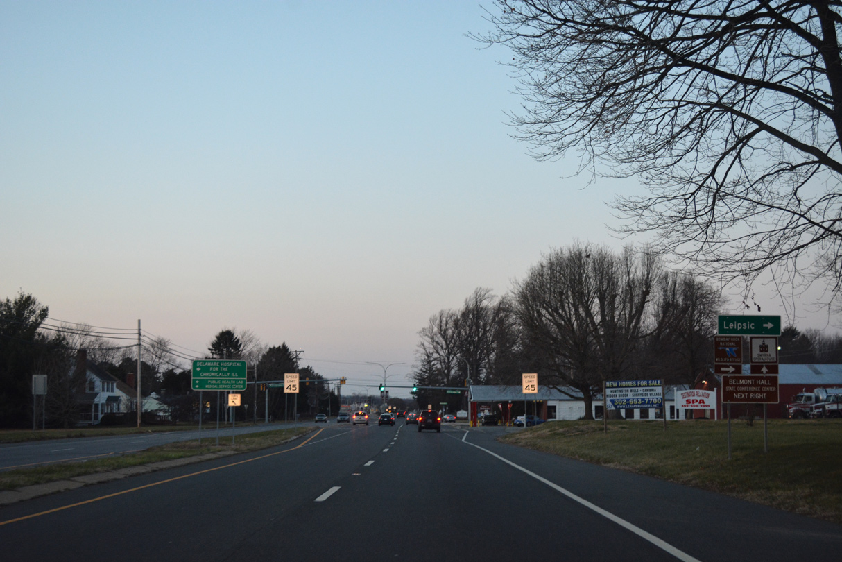
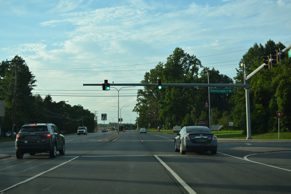
| Smyrna Leipsic Road meanders east from U.S. 13 (Dupont Boulevard) to become SR 9 south of Whitehall Crossroads into Leipsic. Prior to 1959, the rural highway represented the northern extent of the state route. 12/28/16 |
|
| Smyrna Leipsic Road ends just west of Dupont Boulevard at Sunnyside Road and the Delaware Hospital for the Chronically Ill. 08/17/21 |
|
| Continuing north into central Smyrna, U.S. 13 (Dupont Boulevard) partitions with S Main Street ahead of Mill Creek. 08/17/21 |
|
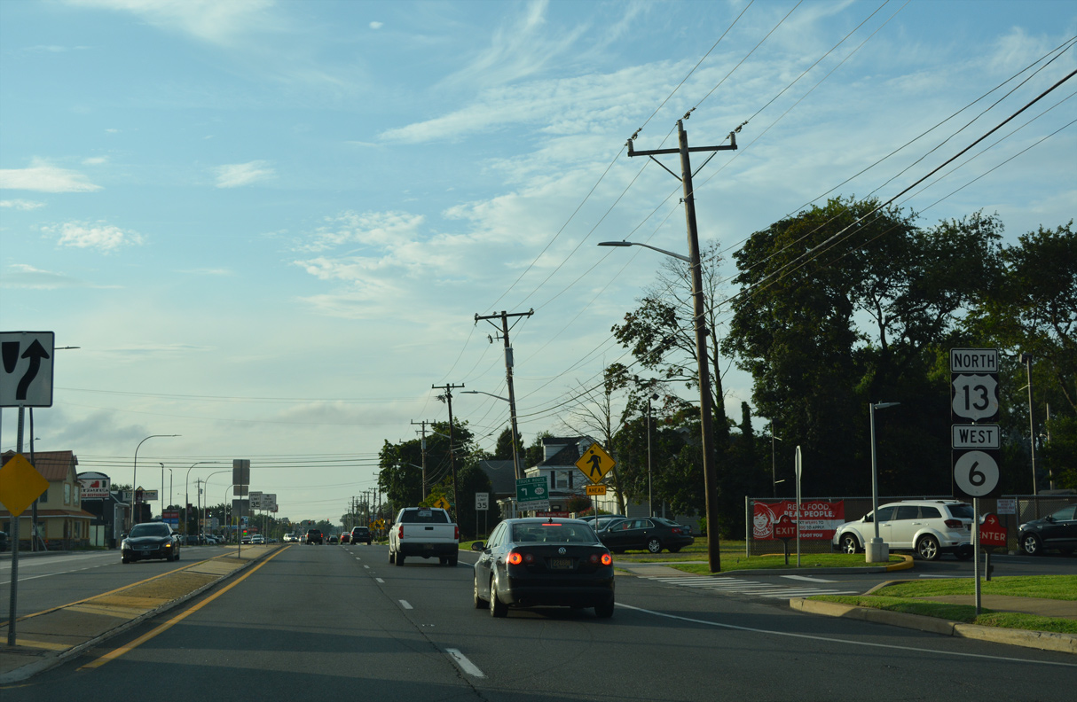
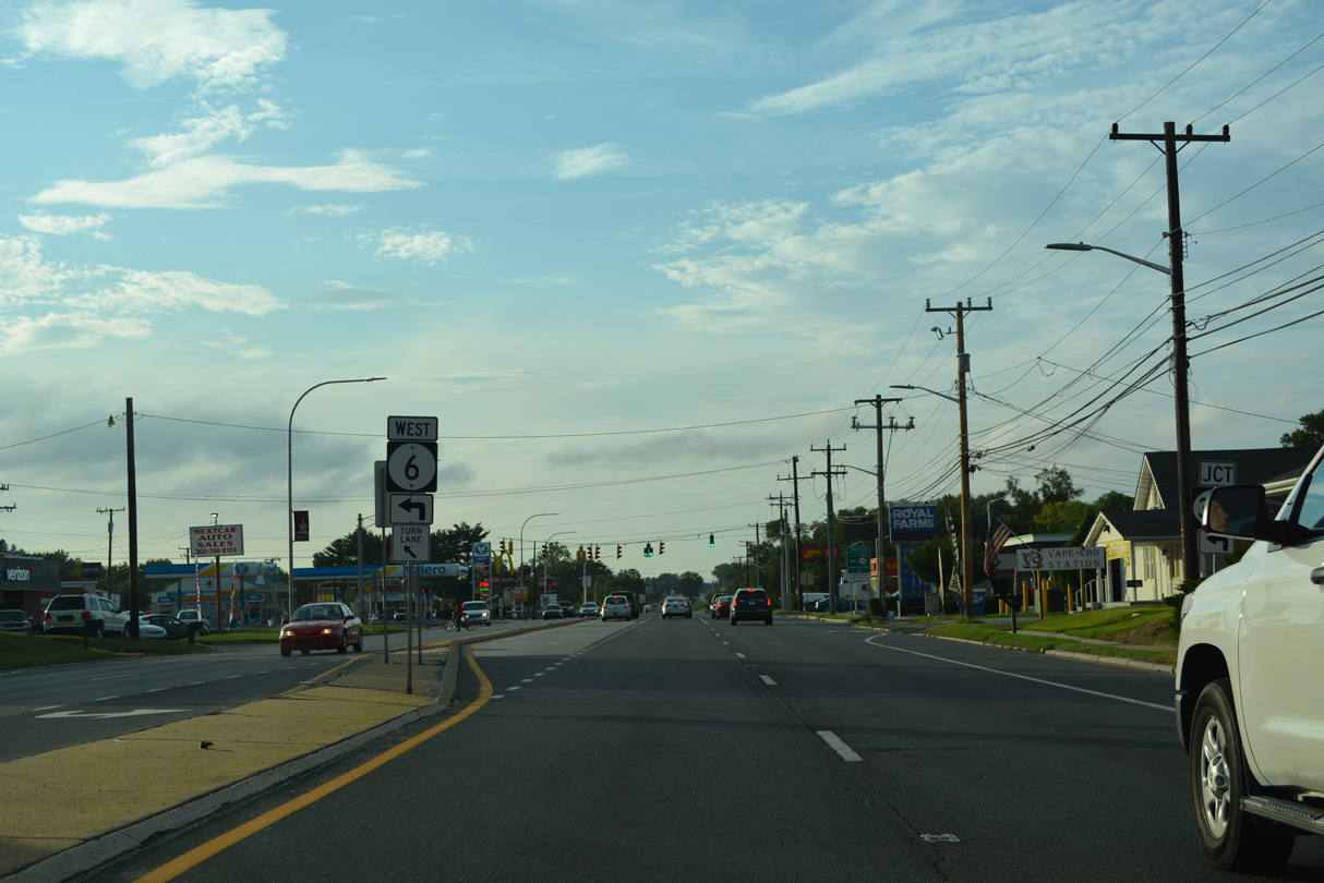
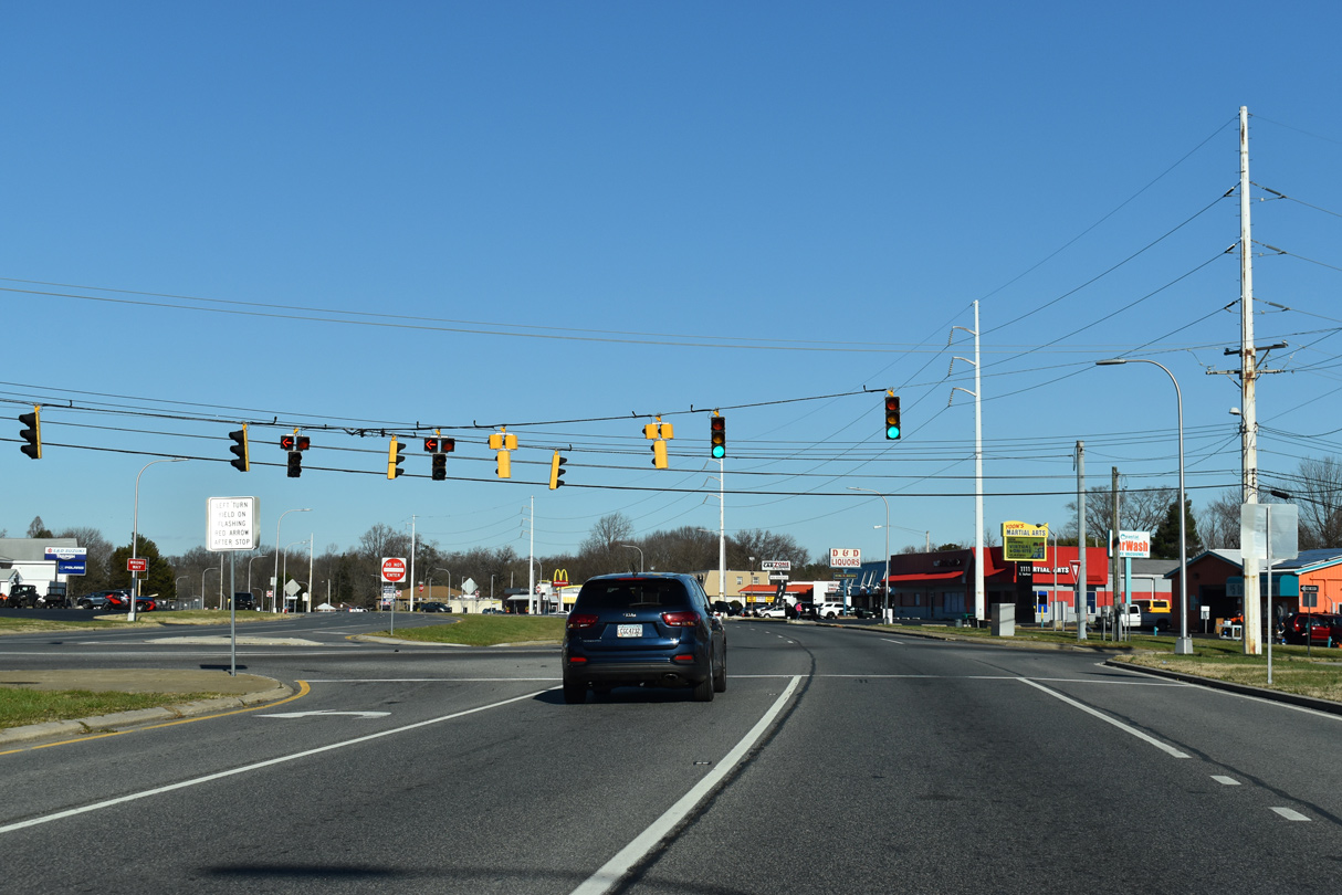
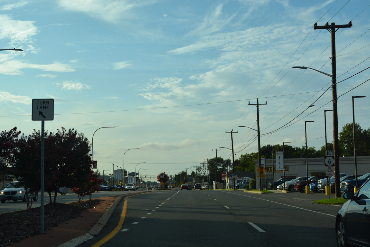
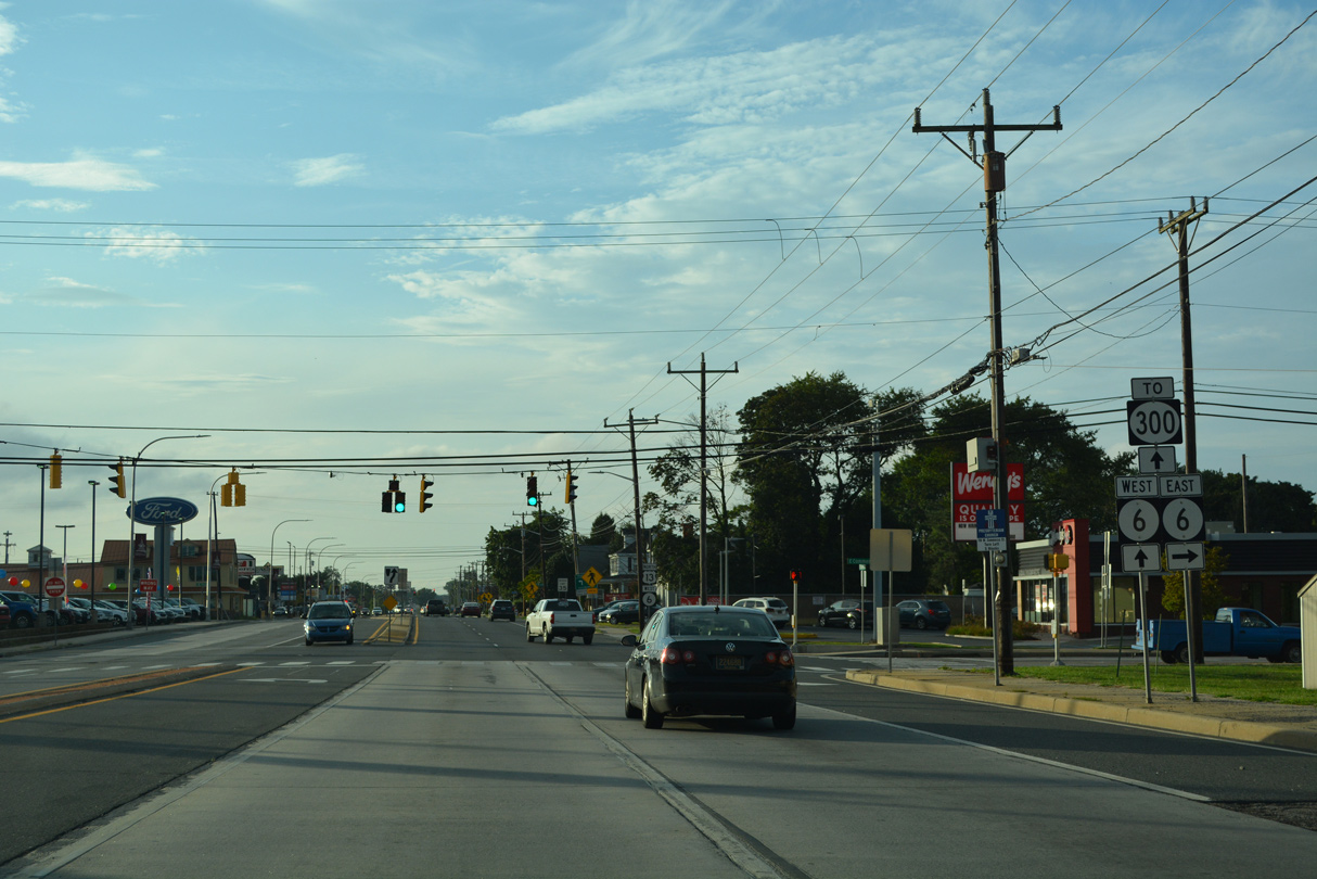
| A commercialized stretch precedes the junction of U.S. 13 (Dupont Boulevard) north with SR 6 at Commerce Street. 08/17/21 |
|
| East from U.S. 13, SR 6 (Commerce Street) spans SR 1 to become Woodland Beach Road en route to Carrolltown, Serverson Neck and Woodland Beach on Delaware Bay. Commerce Street west to Smyrna Clayton Boulevard through the town center was formerly a part of the state route. 08/17/21 |
|
| SR 6 west combines with U.S. 13 (Dupont Boulevard) north for 0.29 miles. 08/17/21 |
|
| SR 6 resumes a westward course alongside SR 300 along Glenwood Avenue to Smyrna Clayton Boulevard and Main Street through Clayton. 08/17/21 |
|
| SR 300 forms a 25 mile long multi state route with MD 300 southwest from Smyrna to Kenton, Sudlersville and Church Hill. SR 6 connects Smyrna with Millington, Maryland via MD 291. 08/17/21 |
Page Updated 11-02-2022.

 North
North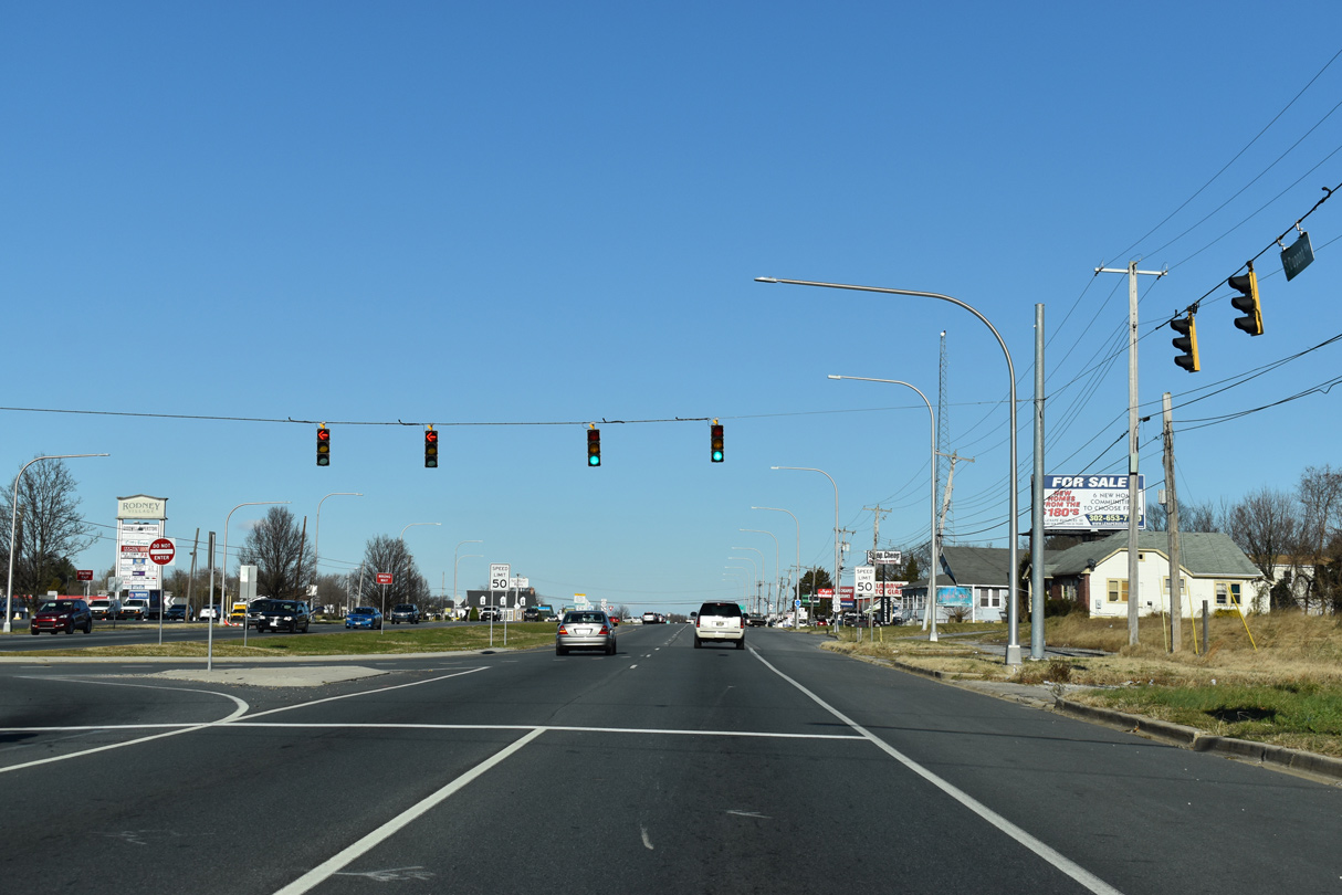


 West
West