|
| U.S. 67 expands into a four lane expressway north at the junction with IL 94 in Rock Island County. 05/06/10 |
|
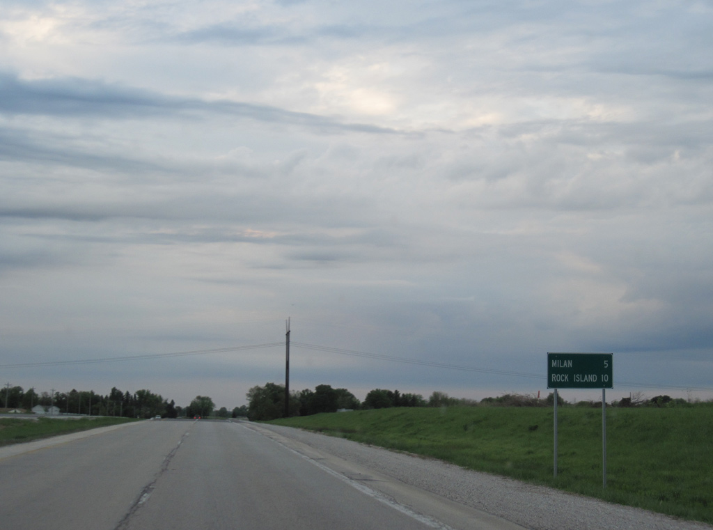
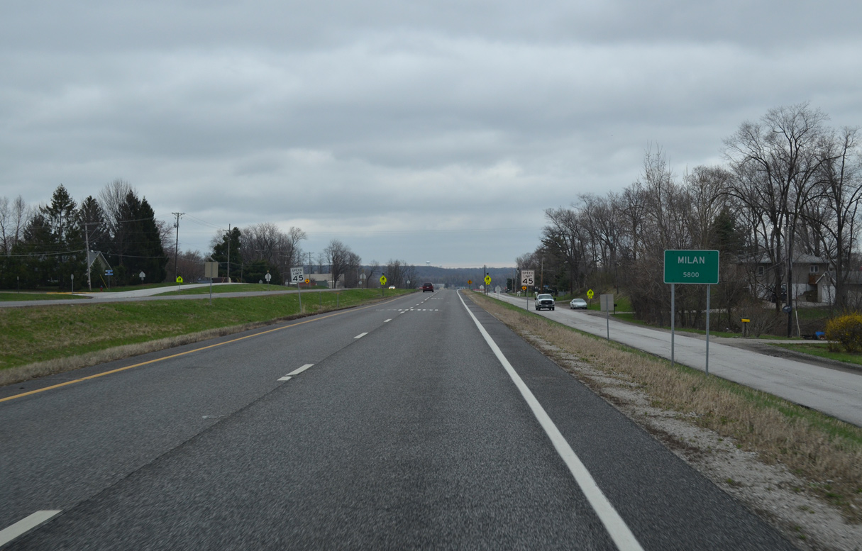
| The U.S. 67 expressway leads five miles north into the village of Milan. Downtown Rock Island lies five miles further along a surface route. 05/06/10 |
|
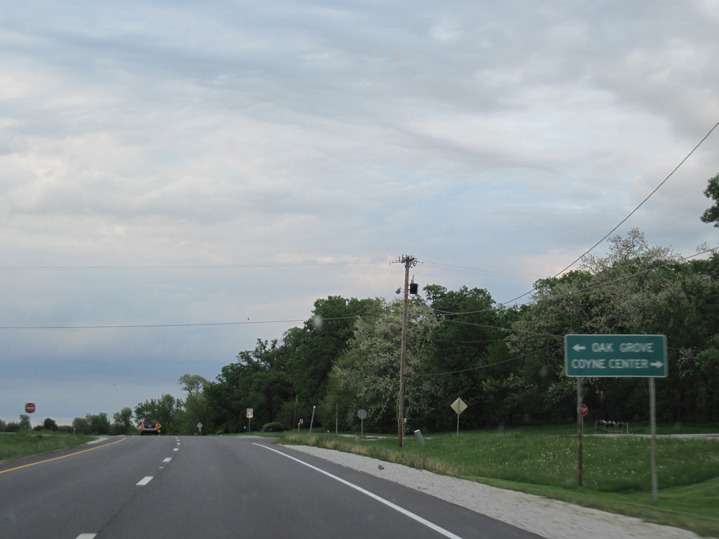
| Coyne Center Road north and Hillcrest Road south tie into U.S. 67 at the village of Oak Grove. Hillcrest Road loops west to become 2nd and 1st Streets in Milan. Collectively the loop is the pre-1950s alignment of U.S. 67. 05/06/10 |
|
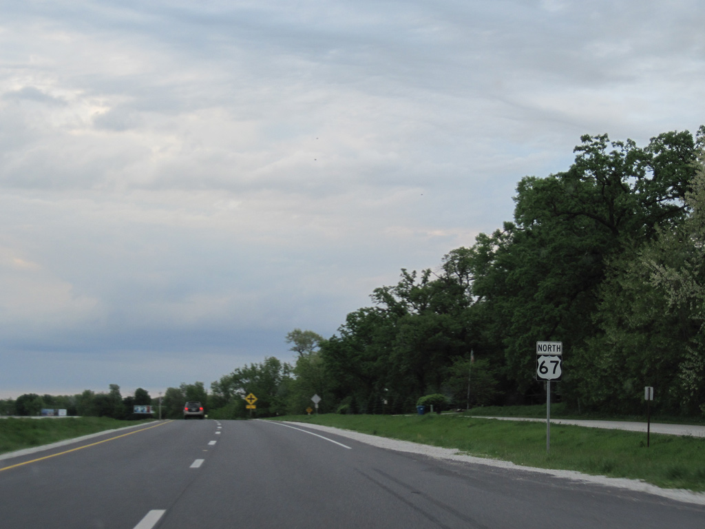
| Frontage roads accompany U.S. 67 north to Woodland Road east and 106th Avenue west. 05/06/10 |
|
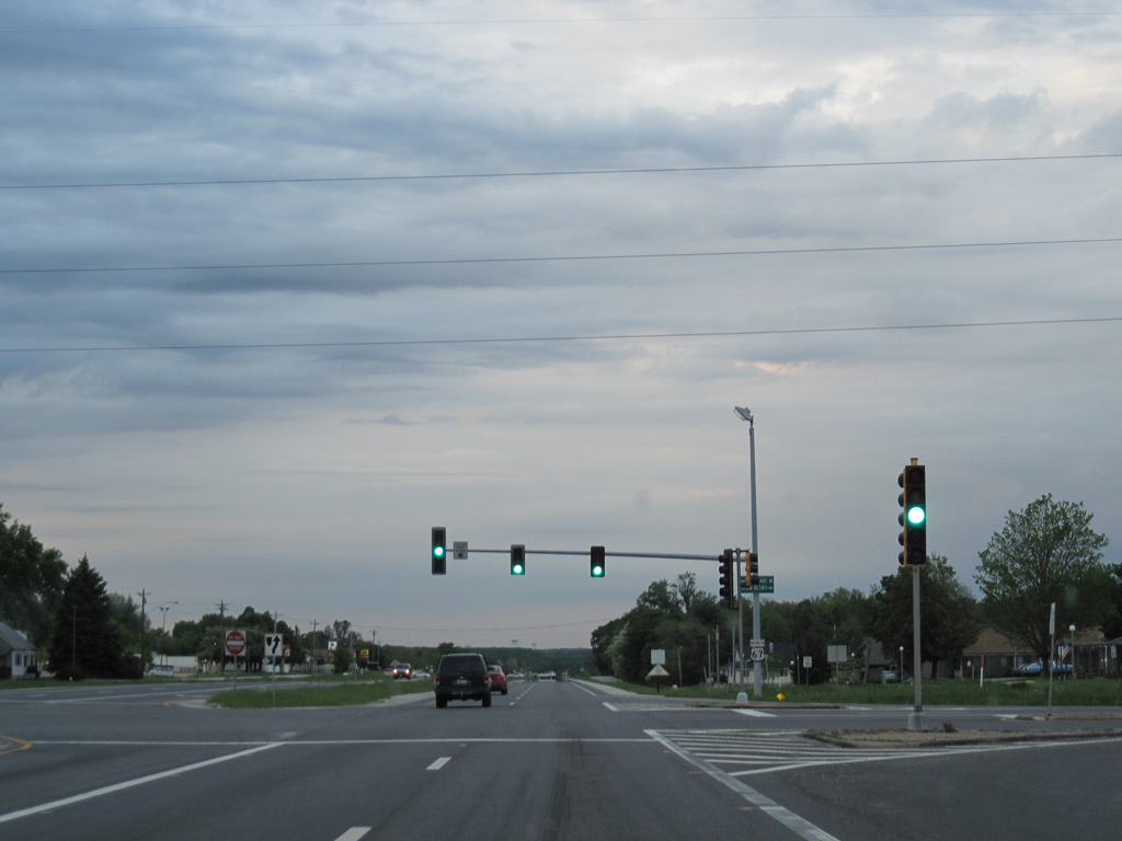
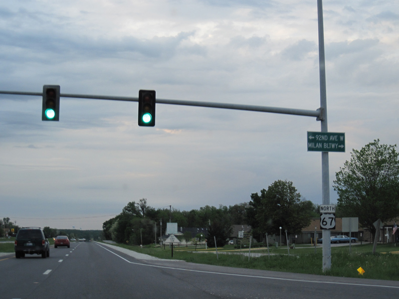
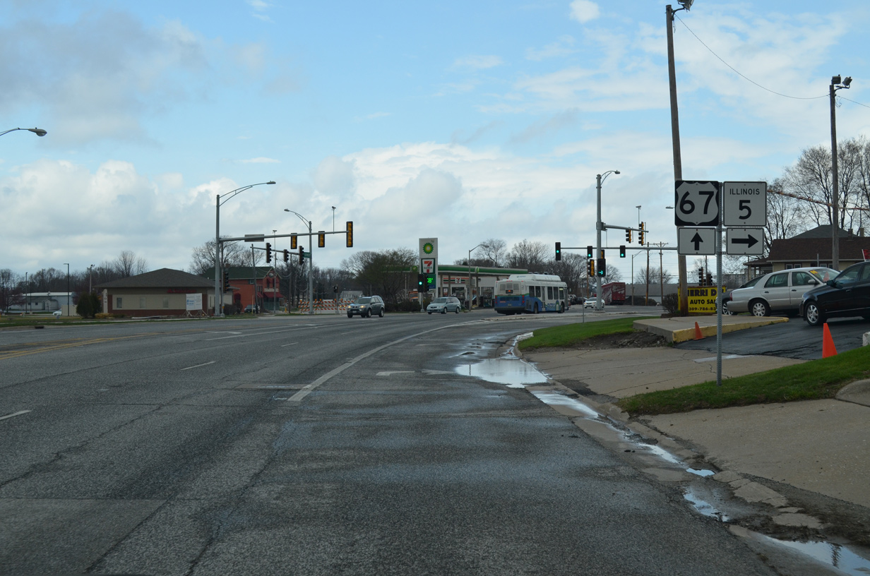
| Rock Island-Milan Beltway (CR 78) west and 92nd Avenue West east come together at this traffic light with U.S. 67 in Milan. The beltway opened to traffic in June 2008 as an expressway encircling Milan east to IL 5 (John Deere Road) in Moline. 05/06/10 |
|
| 92nd Avenue West extends the controlled access route west to IL 92 in south Rock Island. 05/06/10 |
|
| U.S. 67 fully enters the village limits of Milan north of Rock Island-Milan Beltway (CR 78). 03/31/16 |
|
| 10th Avenue east and Knoxville Road west intersect U.S. 67 at this traffic light preceding Interstate 280. 10th Avenue West is the former alignment of IL 92 west toward Andalusia. Knoxville Road east to Rock Island-Milan Beltway serves a steel distribution plant and the John Deere Parts Distribution Center. 03/31/16 |
|
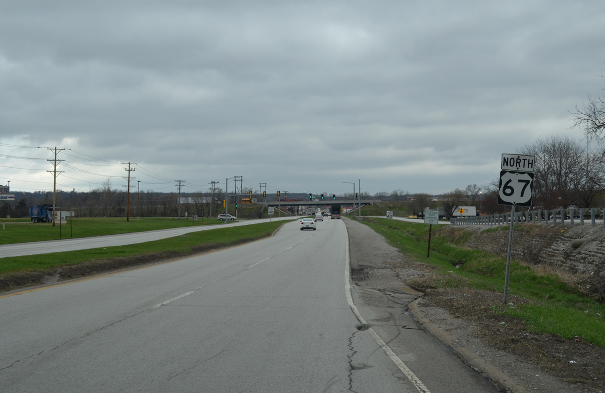
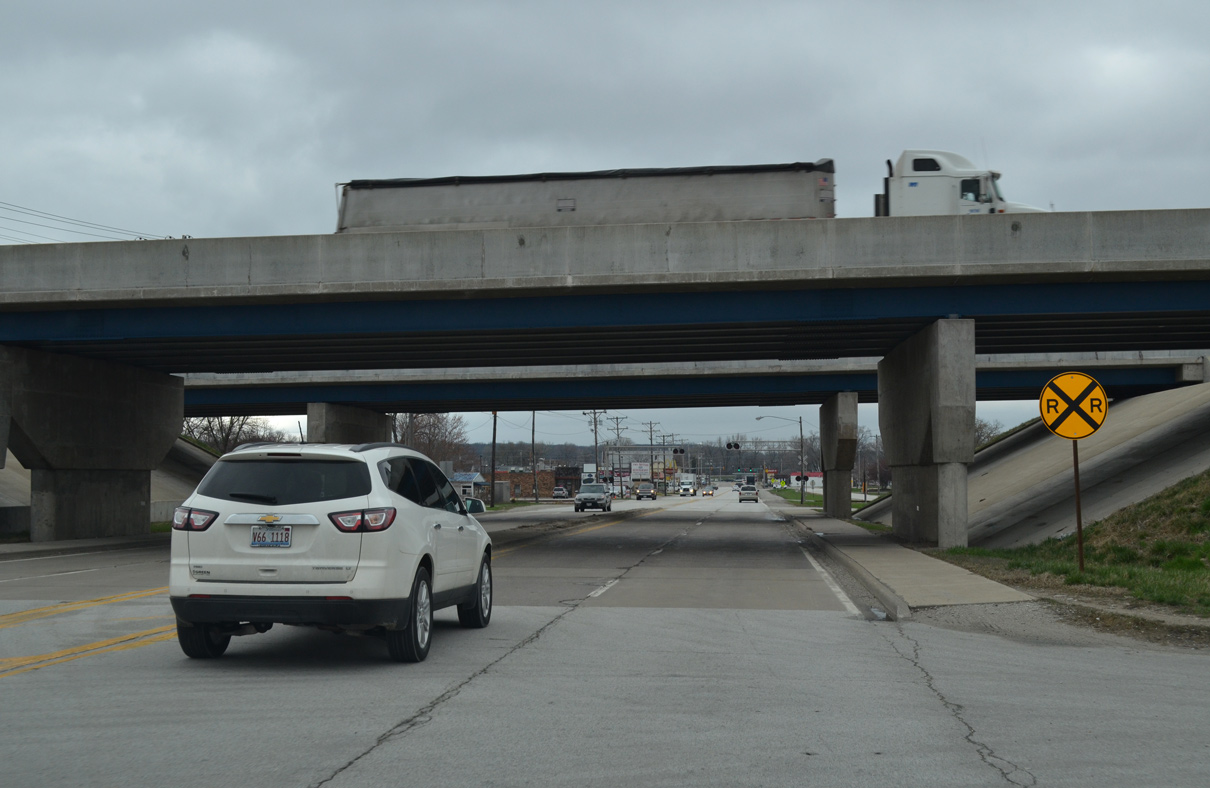
| U.S. 67 proceeds north to pass under Interstate 280 with no direct access. 03/31/16 |
|
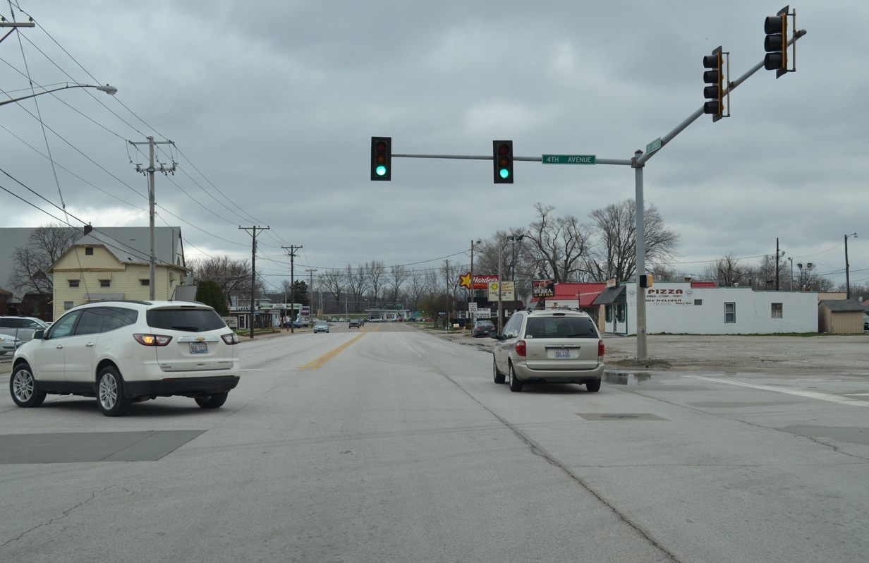
| U.S. 67 narrows into a four lane arterial along 1st Street from the I-280 overpass to the staggered intersection with 4th Avenue West and East. 03/31/16 |
|
| U.S. 67 (1st Street West) north turns west toward the Rock River at 1st Avenue West in one block. 03/31/16 |
|
| 1st Avenue East (former IL 92) connects U.S. 67 with Interstate 280 via Airport Road. I-280 encircles the west and south sides of the Quad Cities as a bypass for I-80 between Des Moines, Iowa and Chicago, Illinois. 03/31/16 |
|
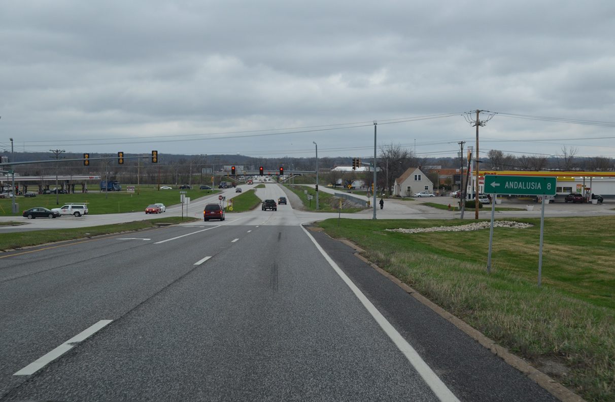
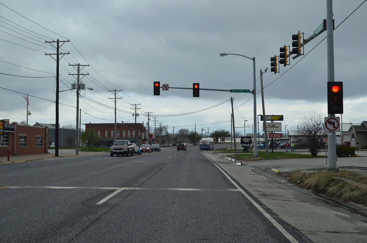
| 3rd Street West leads south from the Milan business district as part of a secondary through street with 4th Street West to 10th Avenue West (old IL 92). 03/31/16 |
|
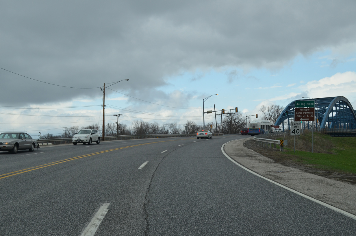
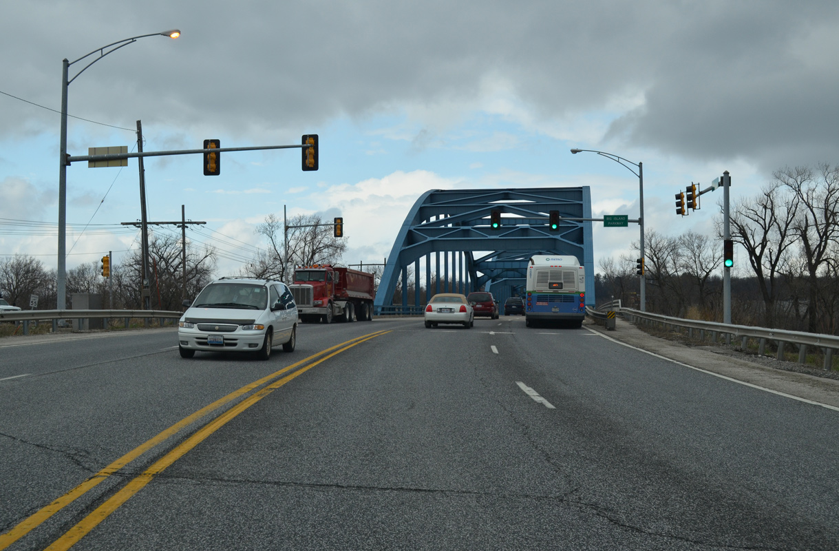
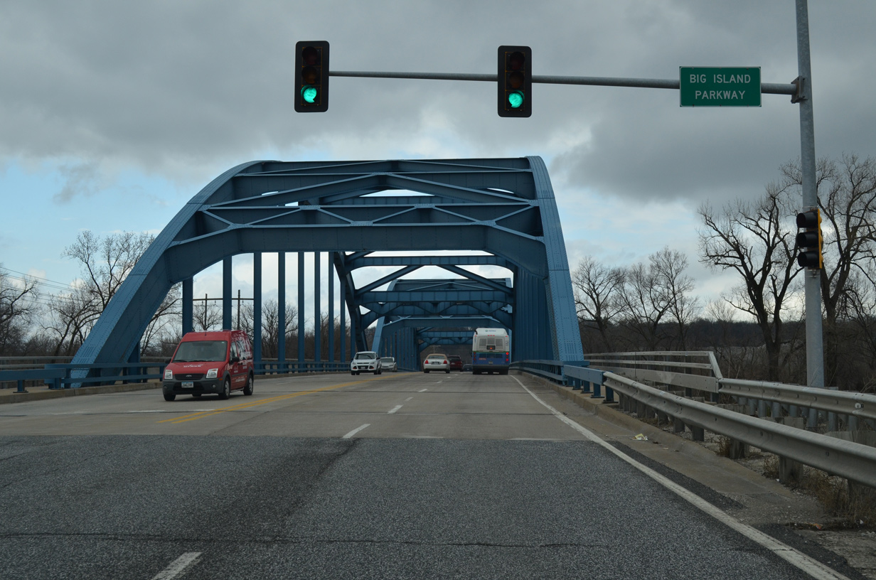
| Curving north toward the Rock River, U.S. 67 intersects Big Island Parkway just ahead of the arch bridge across Hennipen Canal. 03/31/16 |
|
| Big Island Parkway spurs west from U.S. 67 to Hennipen Canal Parkway Locks 31 & 32 by Smiths Island. Big Island is a swath of land south of the Rock and Mississippi River and north of Miller Creek. 03/31/16 |
|
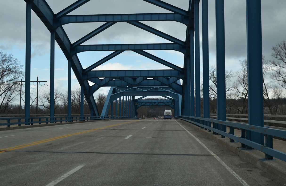
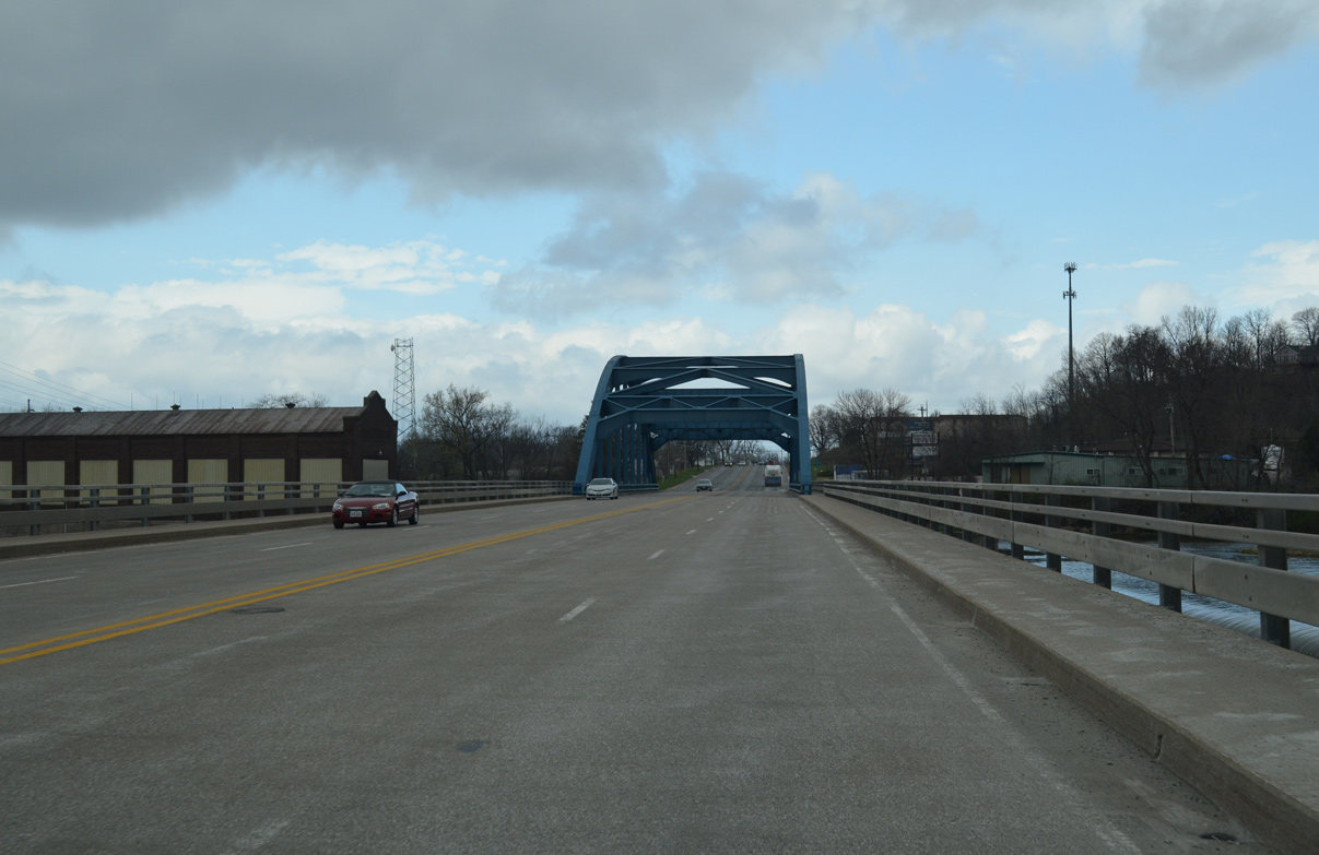
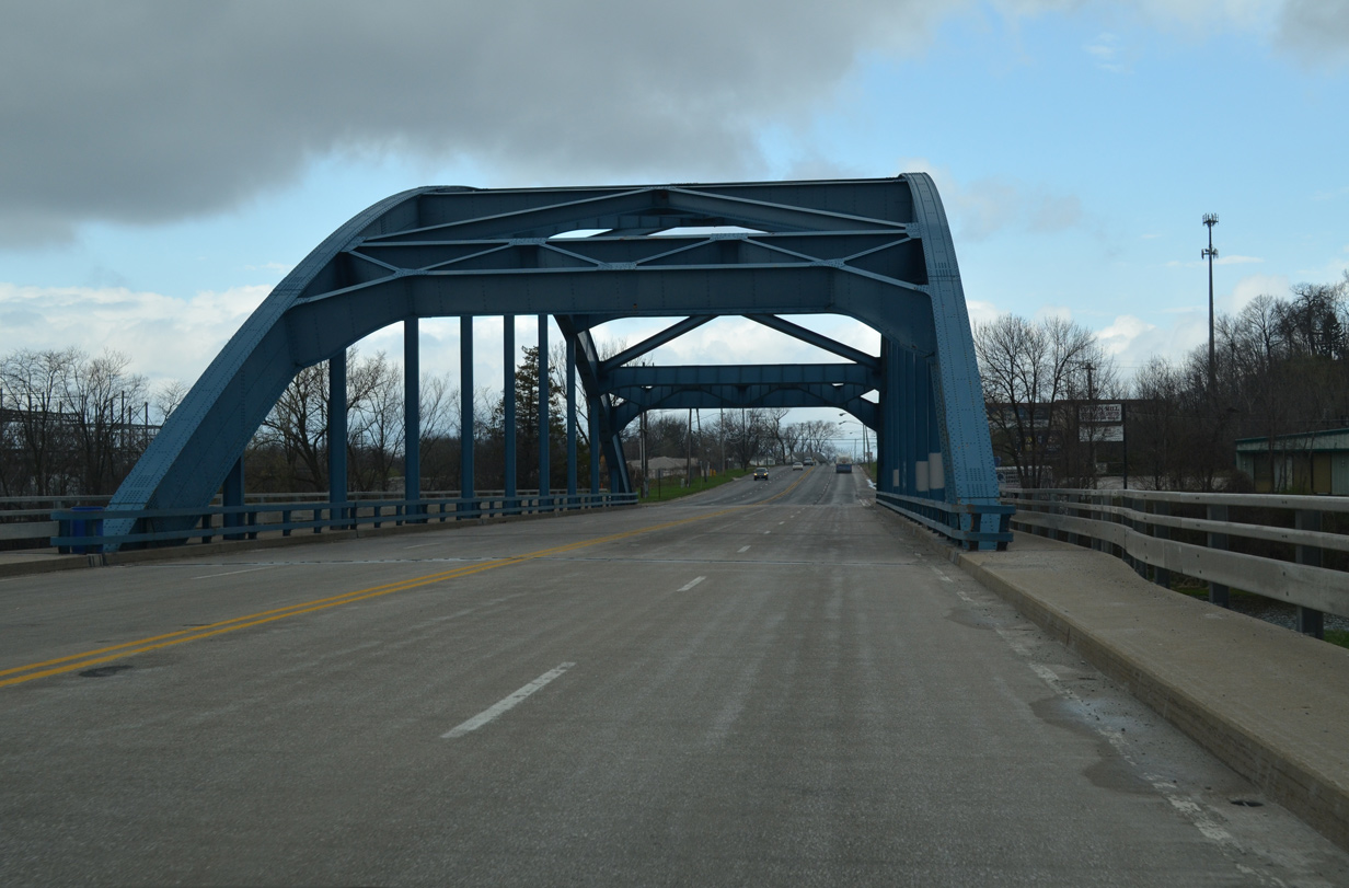
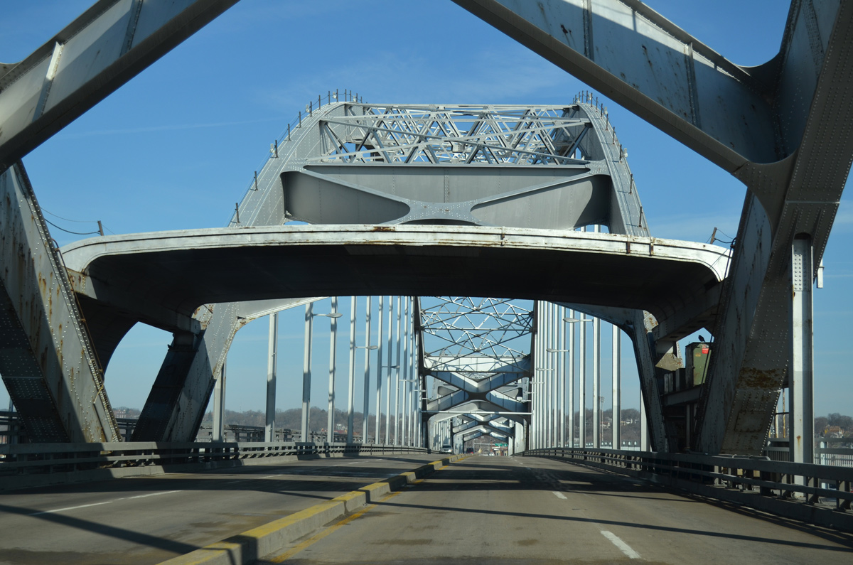
| A steel through arch bridge spans both Hennipen Canal and the south channel of the Rock River onto Vandruff Island. 03/31/16 |
|
| The south Rock River bridge was constructed in 1948. The four lane span is 703.1 feet long.1 03/31/16 |
|
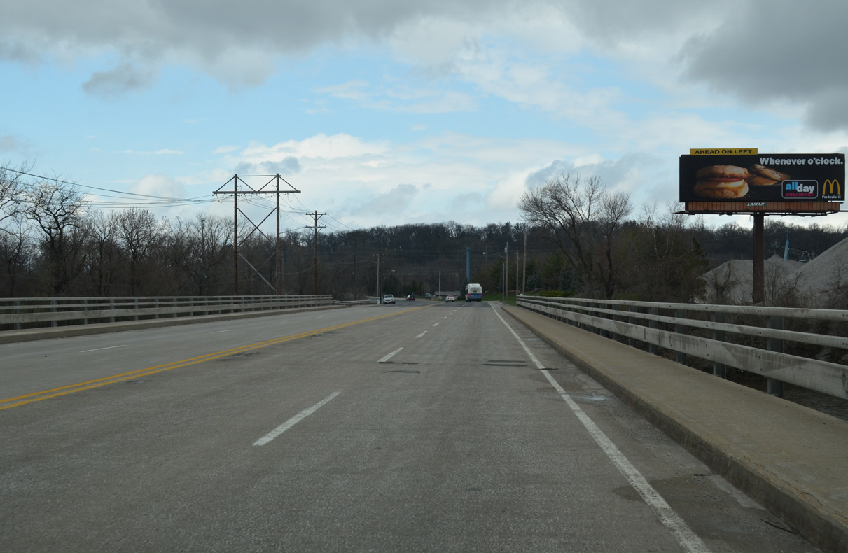
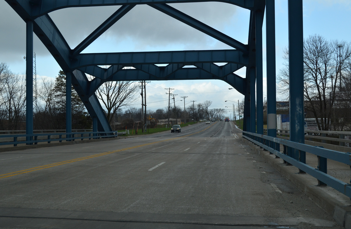
| U.S. 67 crosses the west end of Vandruff Island by a quarry. North Avenue branches to the west along a portion of old U.S. 67 to a handful of houses along the Rock River. 03/31/16 |
|
| Angling northwest, U.S. 67 spans the main channel of the Rock River from Vandruff Island to the city of Rock Island. 03/31/16 |
|
| Also built in 1948, the north steel through arch bridge is slightly longer than its southern counterpart at 705.7 feet in length.2 03/31/16 |
|
| U.S. 67 curves northerly along 11th Street into the Rock Riverfront neighborhood of Rock Island to meet the west end of IL 5 (46th Avenue). 03/31/16 |
|
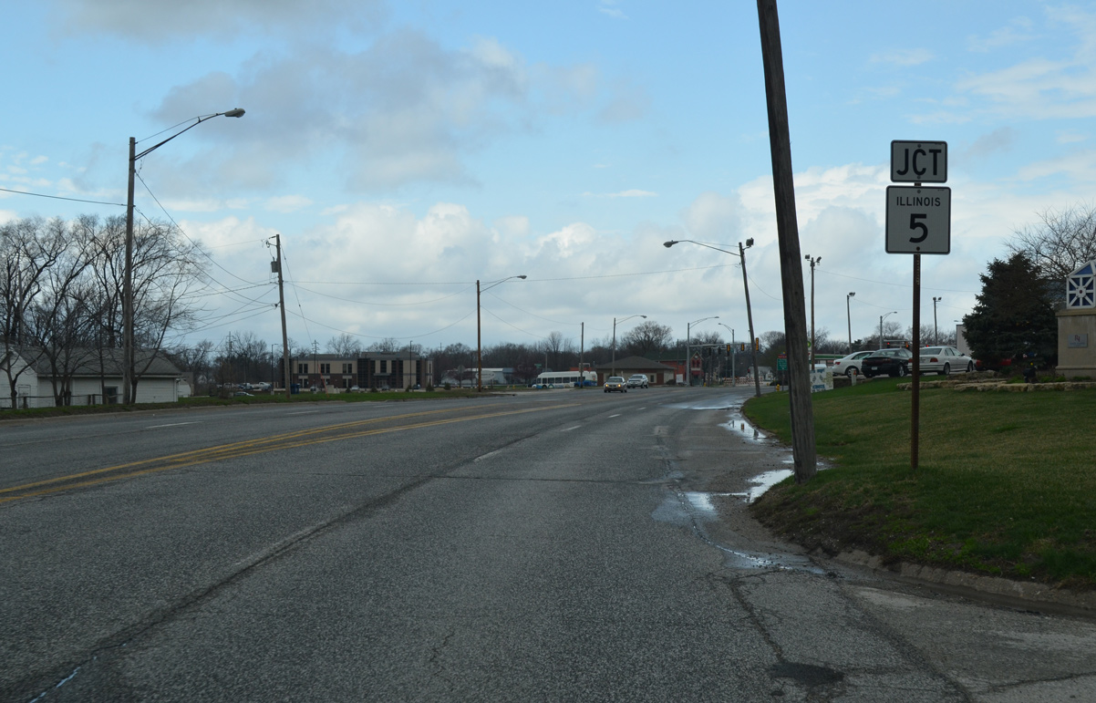
| IL 5 winds east through the scenic Black Hawk State Historic Site from U.S. 67 (11th Street) to 24th Street and the Blackhawk neighborhood. The state route expands into four lanes east from there to Saukie and the Milan Beltway. Overall the state route connects southern areas of Rock Island and Moline with East Moline, Silvis and Interstate 88. 03/31/16 |
|
| U.S. 67 partitions along a one way street couplet along 5th Avenue east and 4th Avenue west to the west of Downtown Rock Island. The two directions recombine along 15th Street north of 4th Avenue. 05/08/10 |
|
| 3rd Avenue intersects U.S. 67 (15th Street) a half block west of Rock Island City Hall as the Centennial Bridge comes into view. 05/25/08 |
|
| 2nd Avenue east to 16th Street north connects U.S. 67 (15th Street) north with IL 92 (Centennial Expressway / 1st Avenue) as it travels below the forthcoming Centennial Bridge. IL 92 provides a high speed route from Downtown Rock Island to Interstate 280 via a freeway. 05/08/10, 05/25/08 |
|
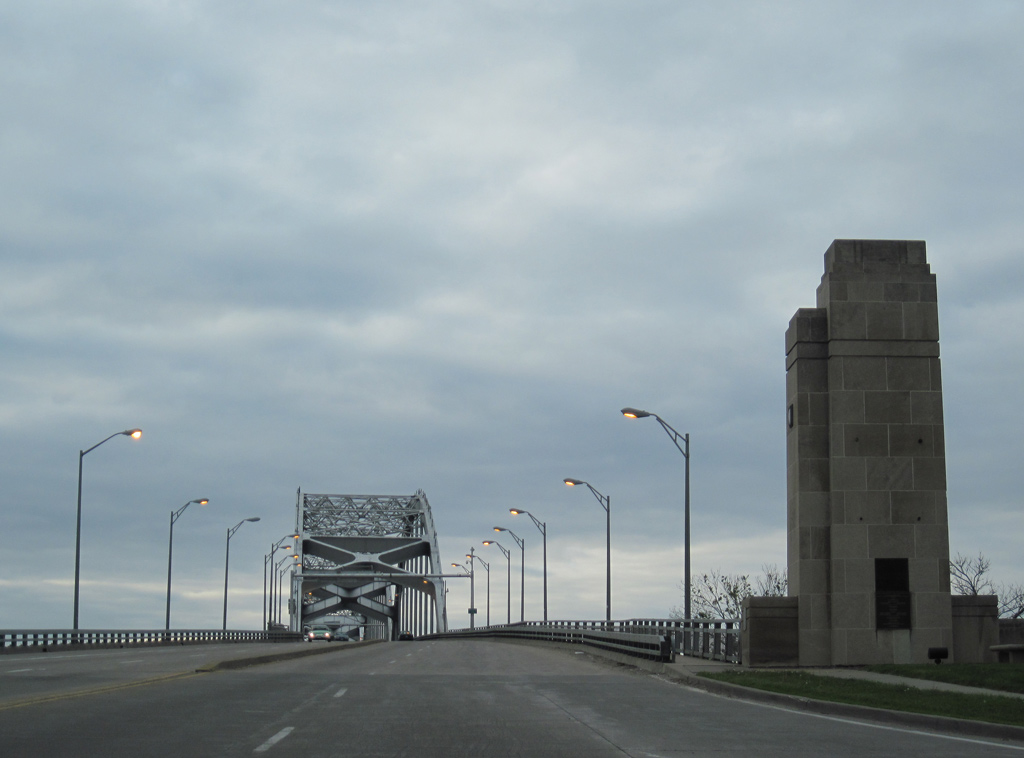
| Loop ramps tie into the south end of the Centennial Bridge from IL 92 as the steel arch bridge elevates over Iowa Interstate Railroad tracks. 05/08/10 |
|
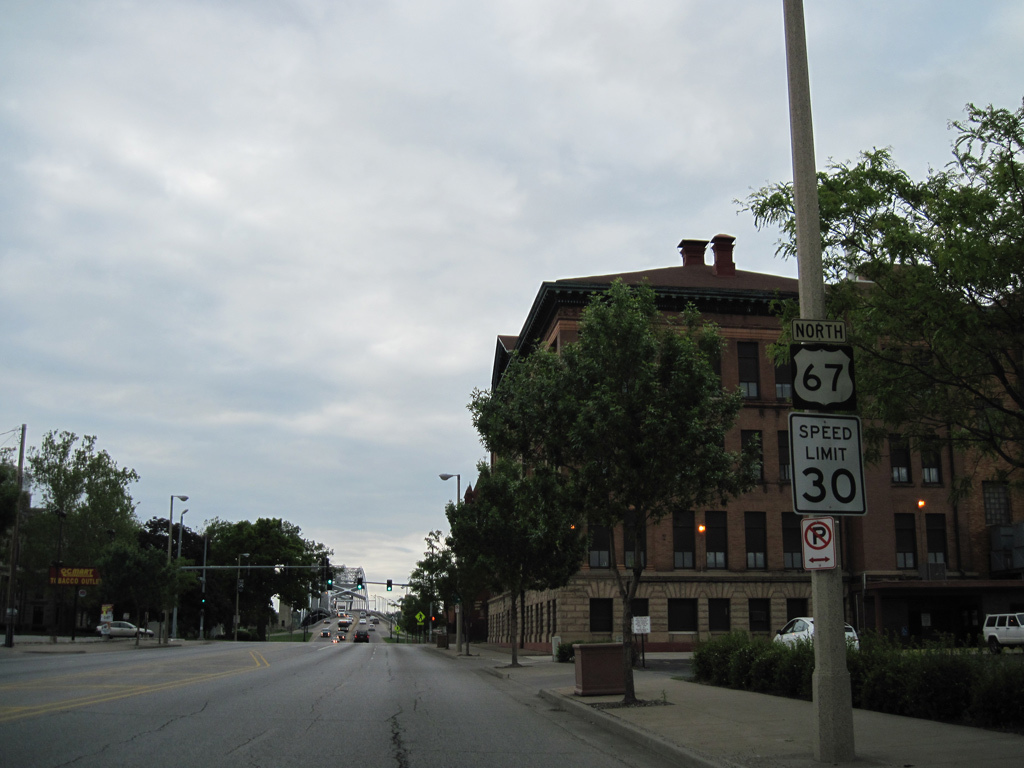
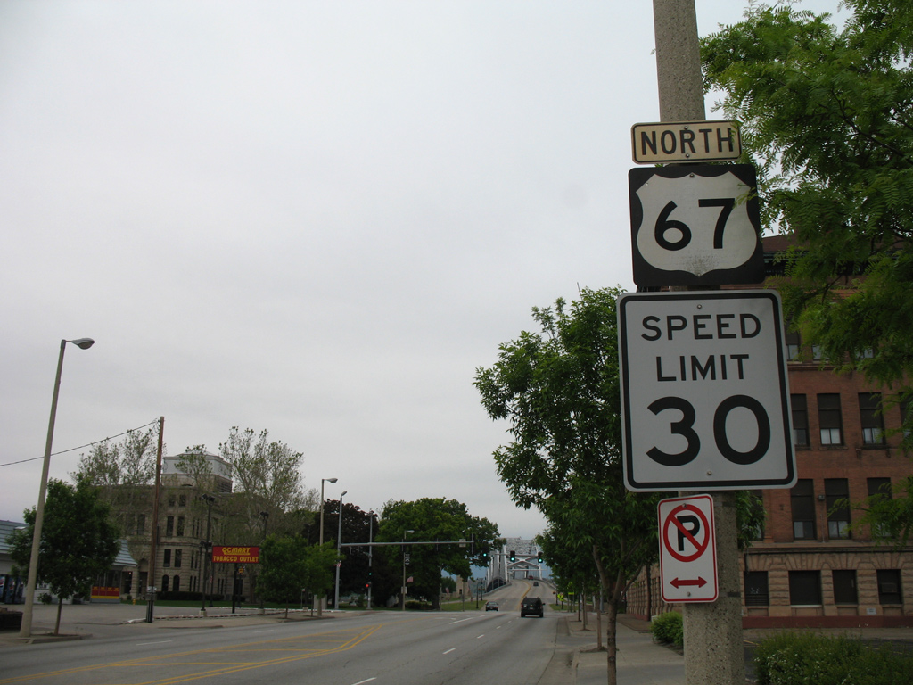
| Downtown Davenport hugs the north banks of the Mississippi River along River Drive (U.S. 67 east from the Centennial Bridge). 05/25/08 |
|
| Looking southeast toward Downtown Rock Island from the sidewalk of the Centennial Bridge.
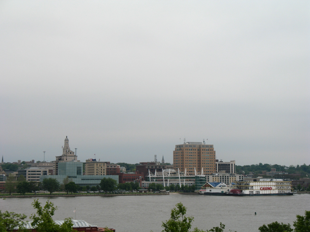
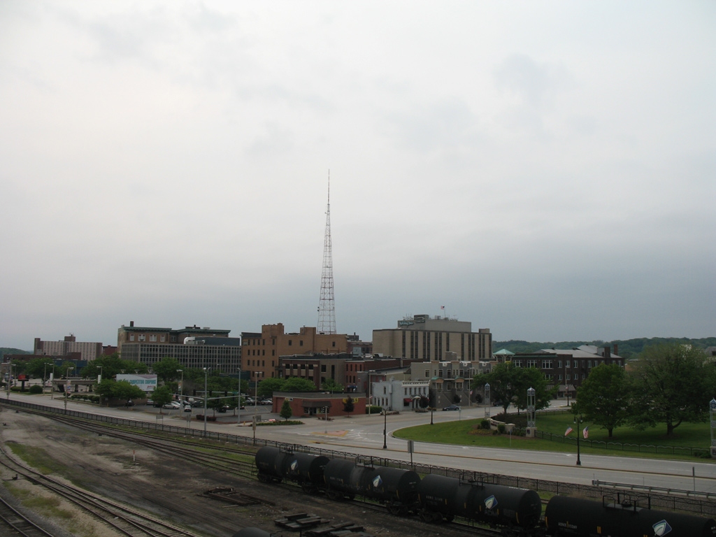
Rock Island was platted as a frontier town on July 10, 1835 and named Stephenson until 1941. Industry followed after 1856 with construction of the first railroad bridge across the Mississippi River along the Chicago and Rock Island Railroad. Annexations expanded the city beyond the Rock River in 1959, with city peaking in population during the 1960 census with 51,863 residents.3 Rock Island was home to 38,210 per 2016 census estimates. 05/25/08 |
|
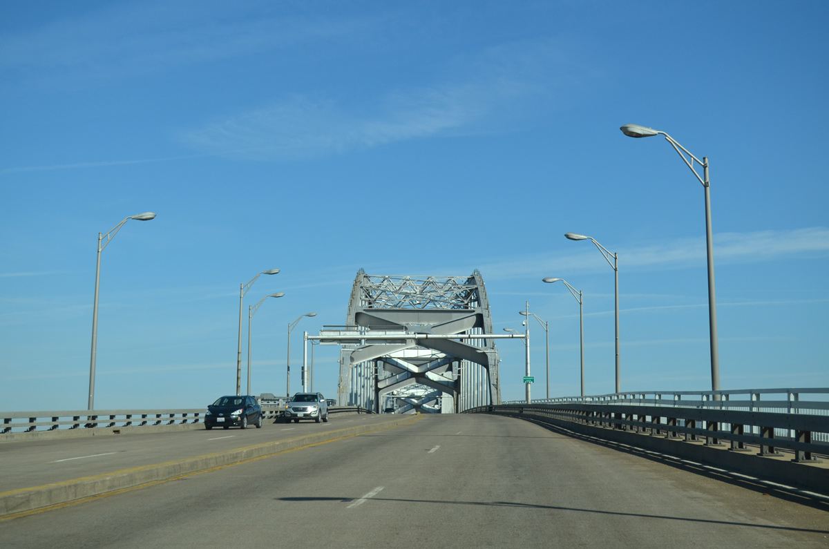
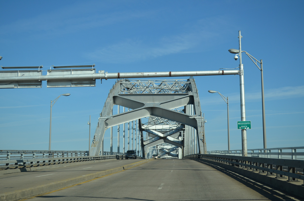
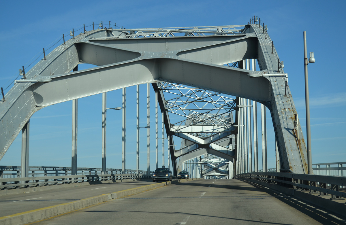
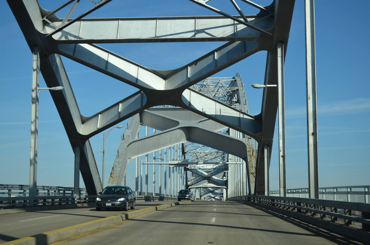
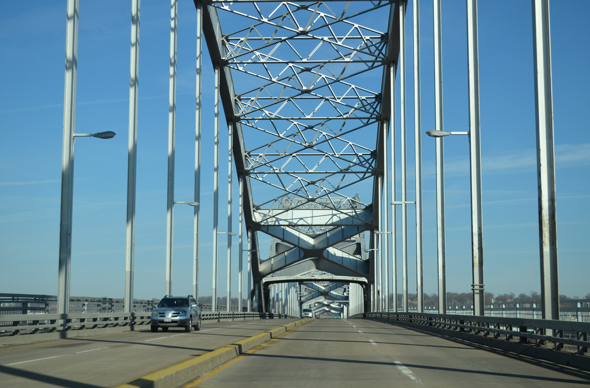
| The Centennial Bridge opened to traffic on July 12, 1940 as a toll bridge. The span totals 3,854 feet in length with a 45.9 foot deck accommodating four lanes of travel.4 03/25/16 |
|
| U.S. 67 spans the Mississippi River at a maximum navigational clearance of 66 feet. 03/25/16 |
|
| Construction to replace supporting beams and expansion joints on the Centennial Bridge resulted in a full closure of the span between August 3, 2014 and October 20, 2014. A previous structure repair and deck replacement project was completed during 1995-96. 03/25/16 |
|
| Tolls were collected below this canopy positioned midway across the Centennial Bridge until their removal on May 2, 2003.4 03/25/16 |
Page Updated 05-09-2018.

 North
North