
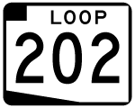
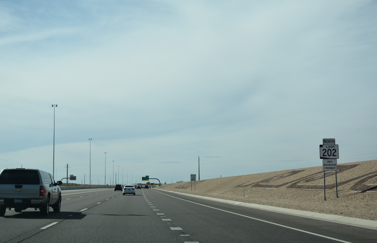
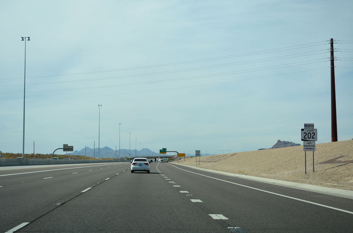
 North
North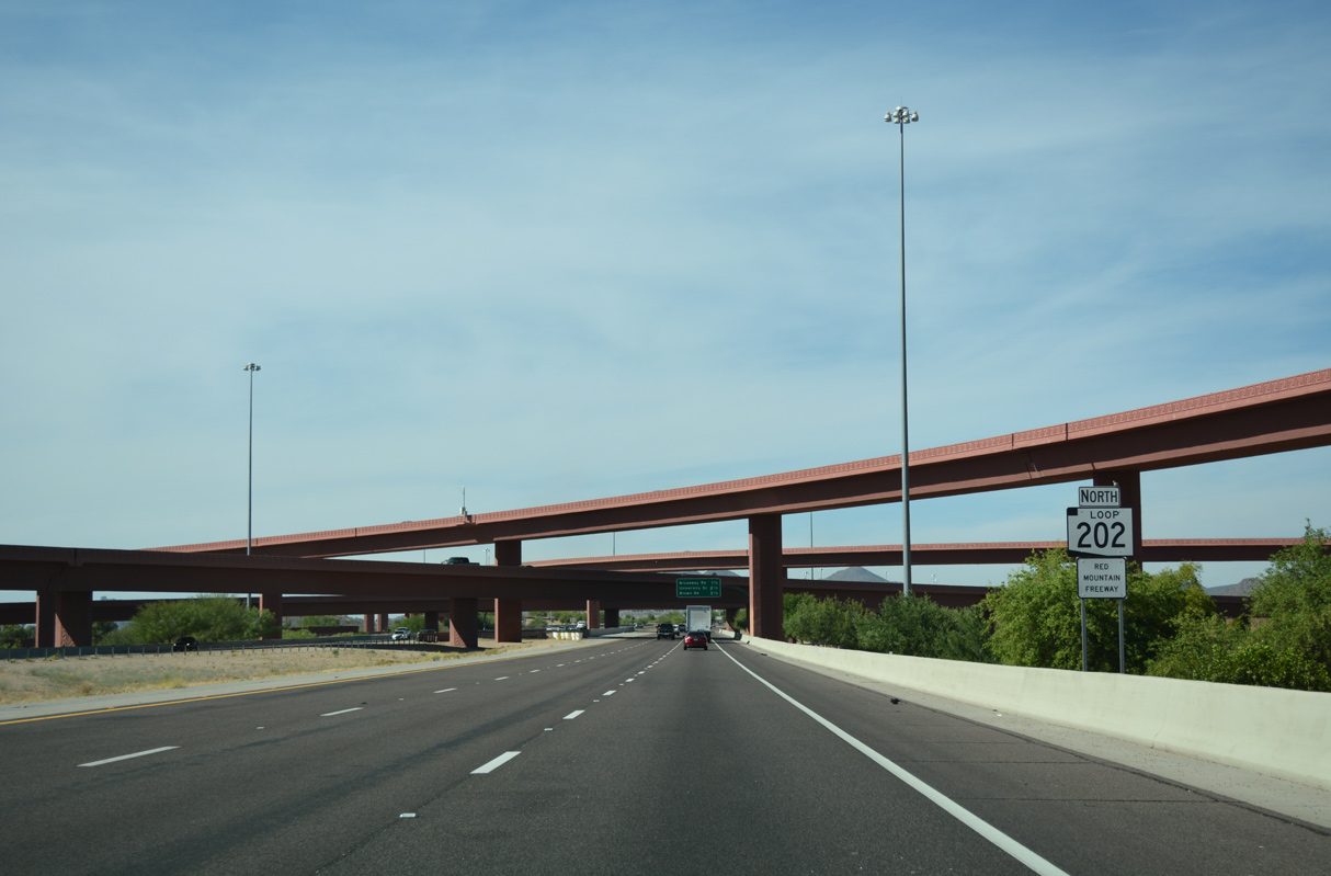
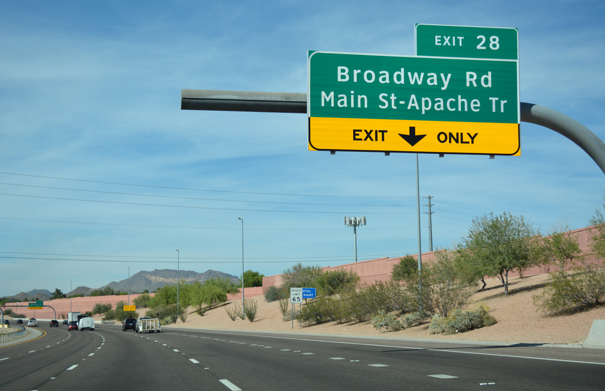
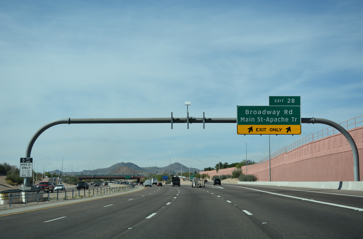
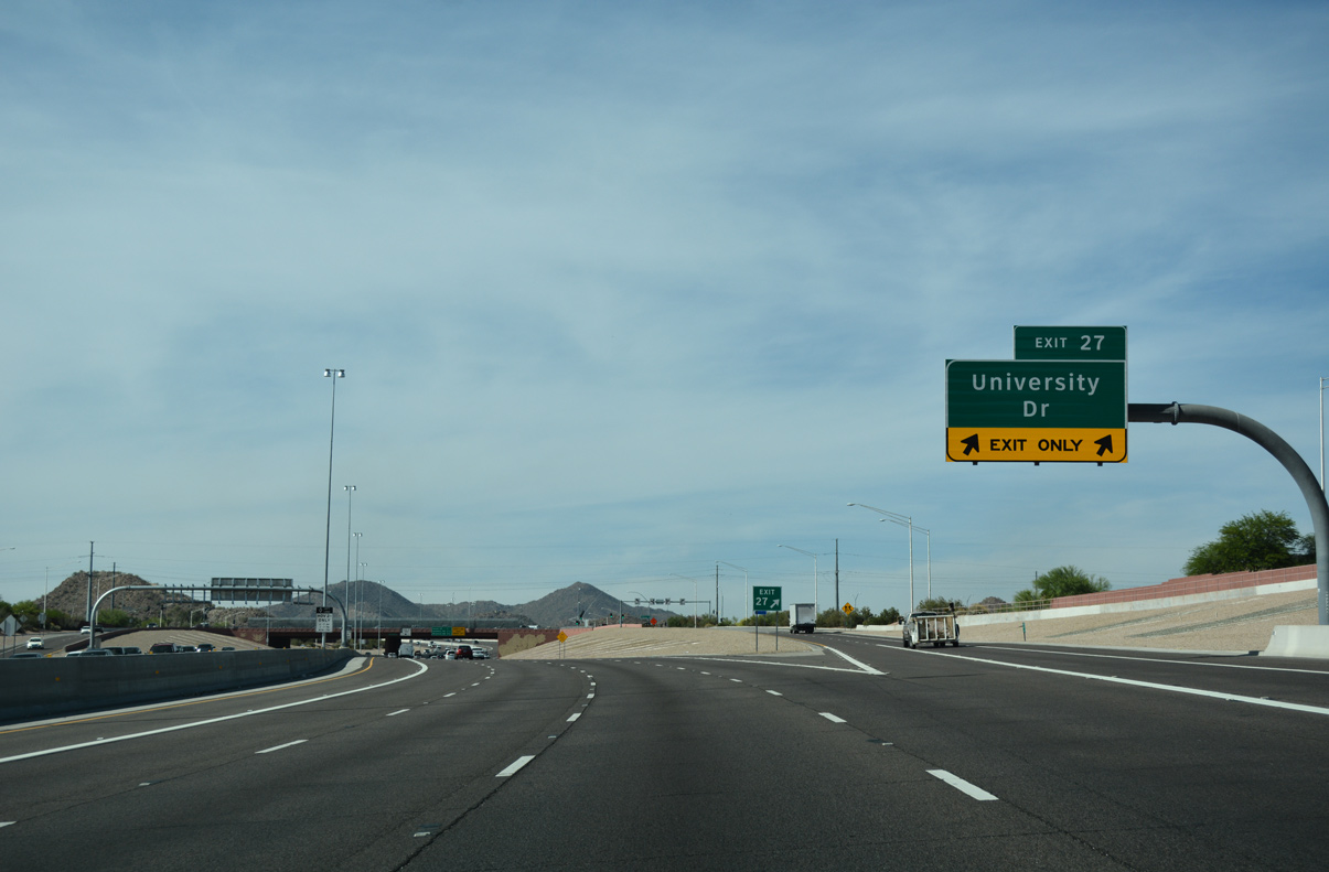
Loop 202 advances north from the Santan Freeway through the SuperRedTan interchange with U.S. 60 (Superstition Freeway).
04/26/17
04/26/17

04/26/17
04/26/17
04/26/17
04/26/17
04/26/17
04/26/17
04/26/17

04/26/17
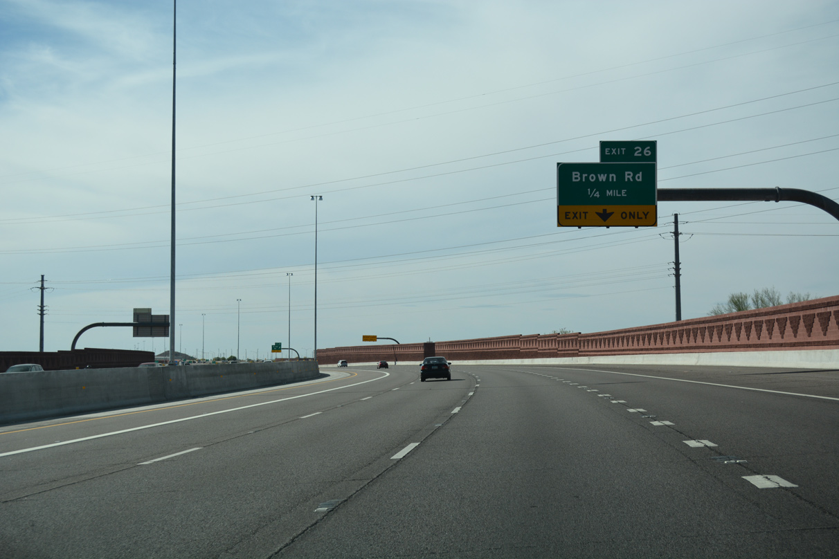
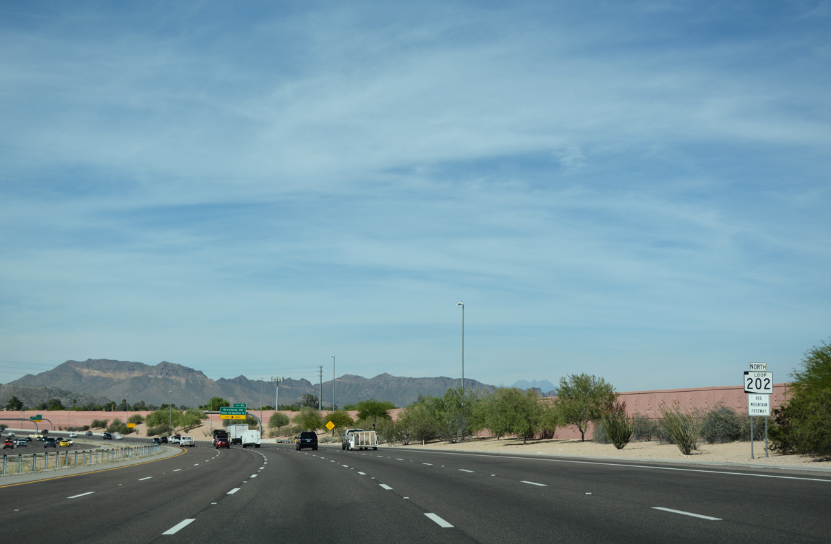
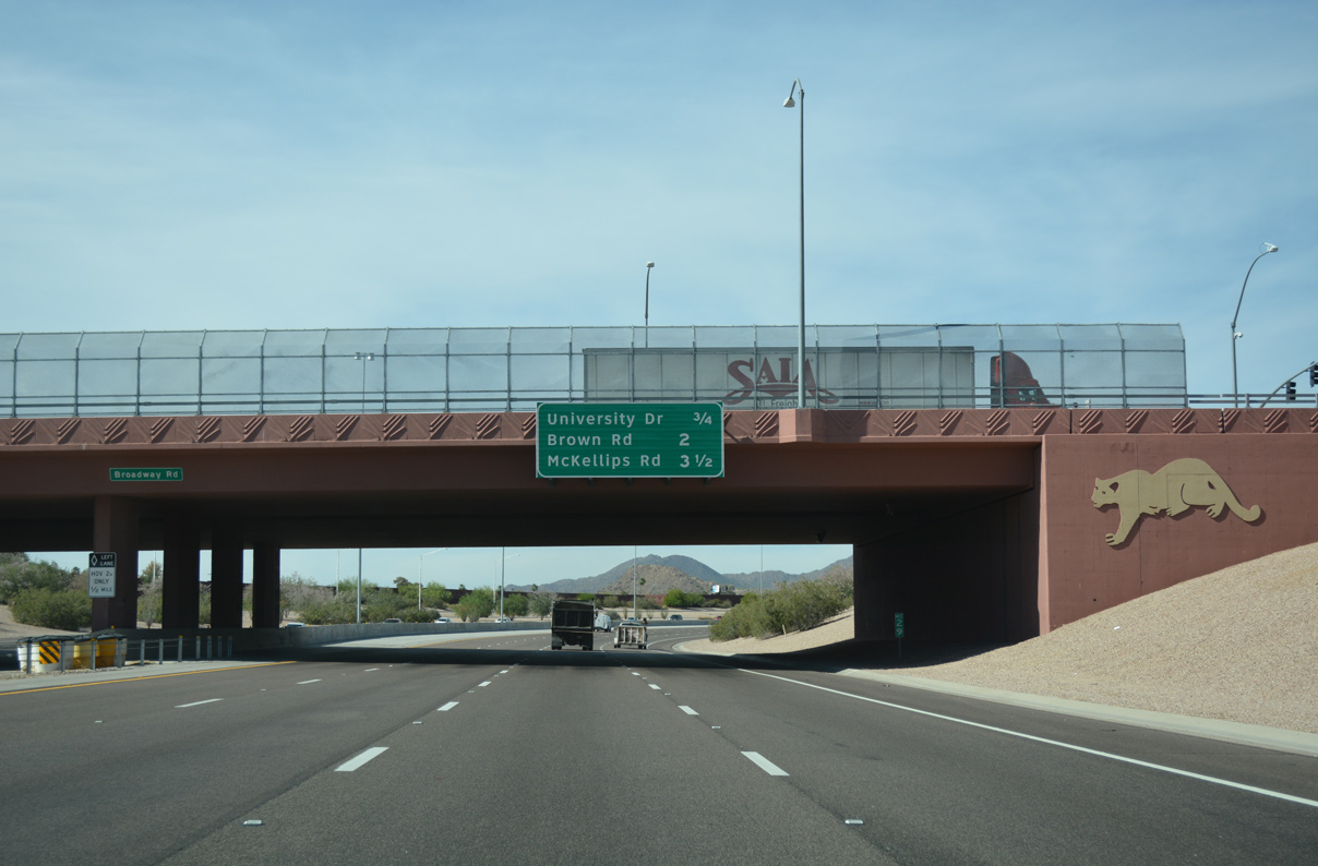
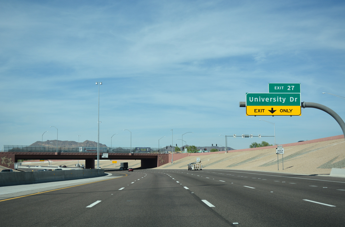
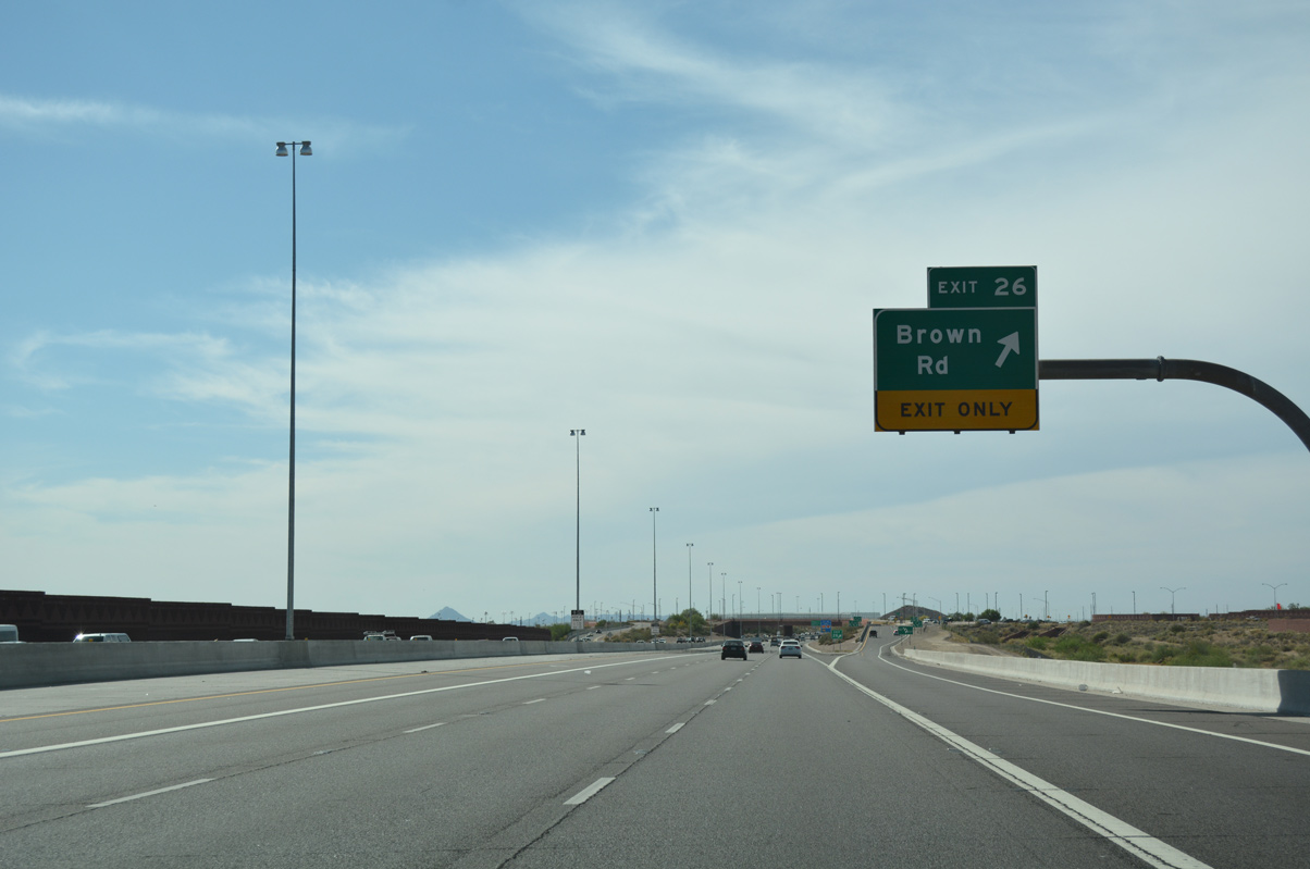
Loop 202 angles northwest ahead of Brown Road (Exit 26) to run along the Fannin-McFarland Aqueduct.
04/26/17
04/26/17
04/26/17
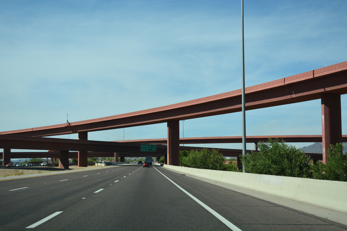
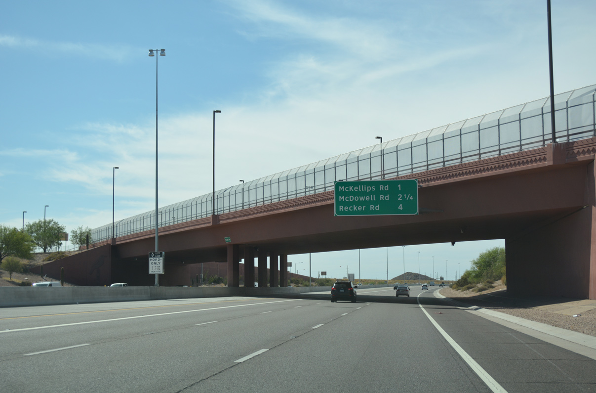
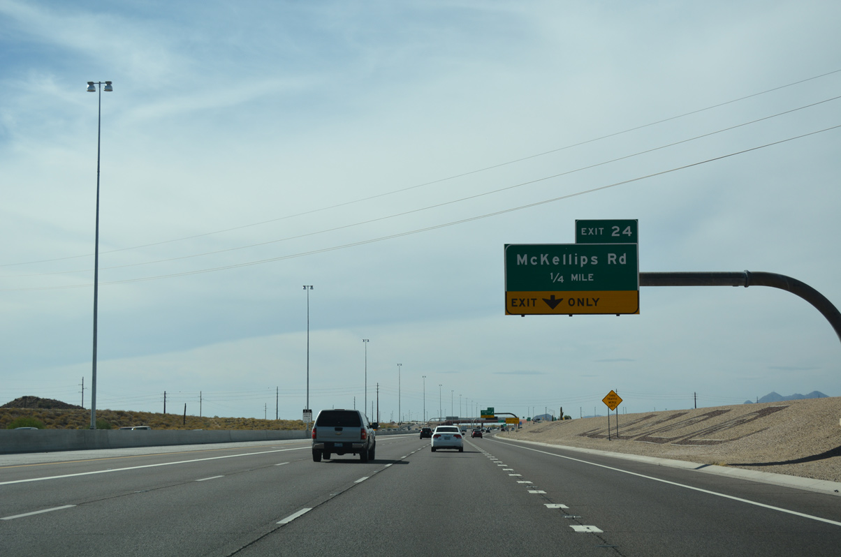
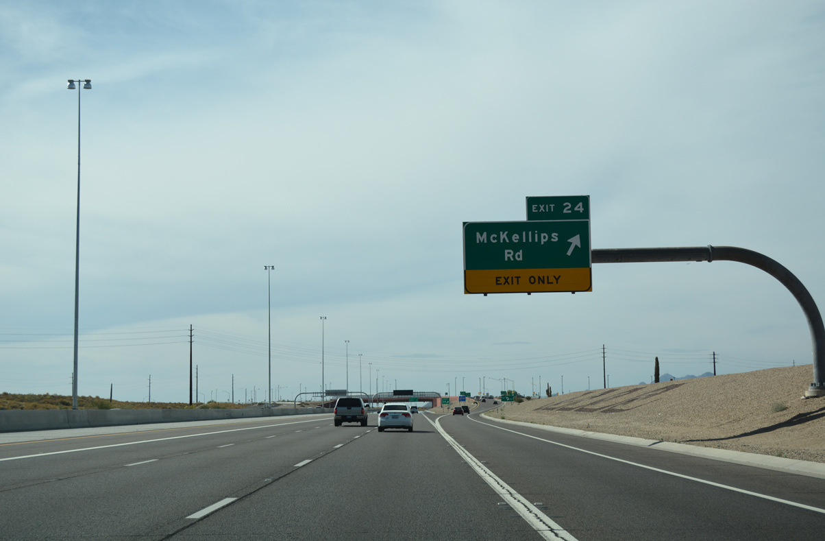
Loop 202 advances northwest to McKellips Road (Exit 25) next.
04/26/17
04/26/17
04/26/17
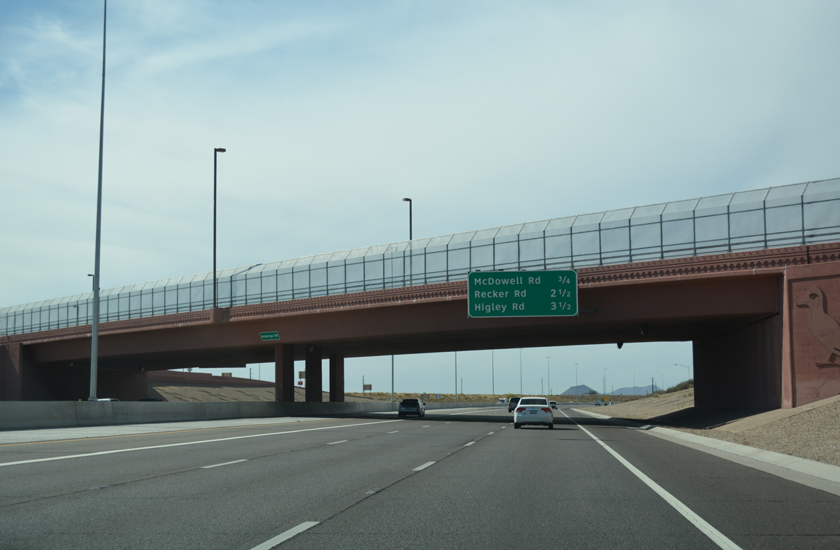
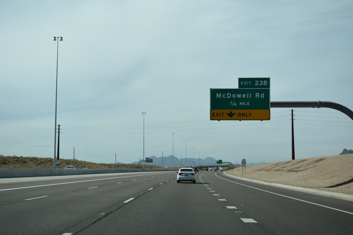
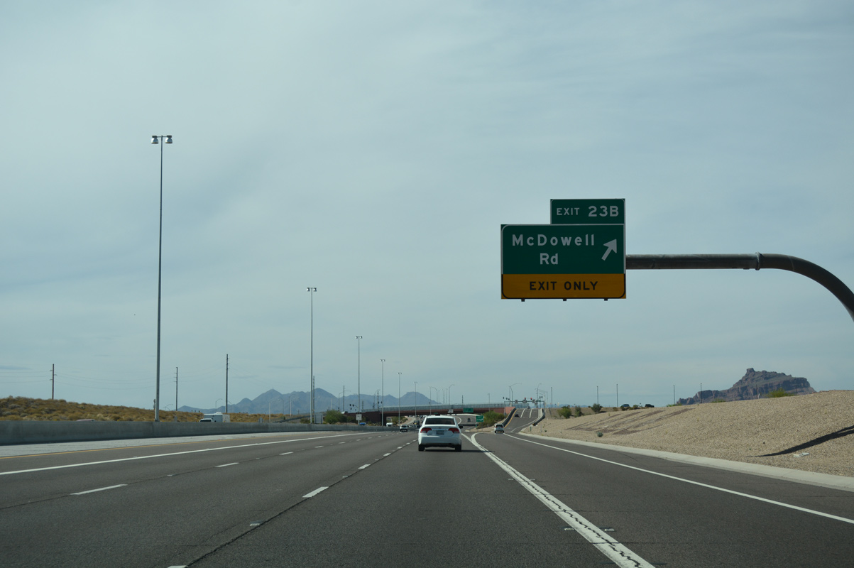
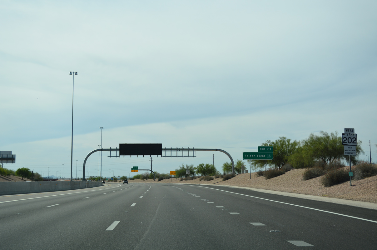
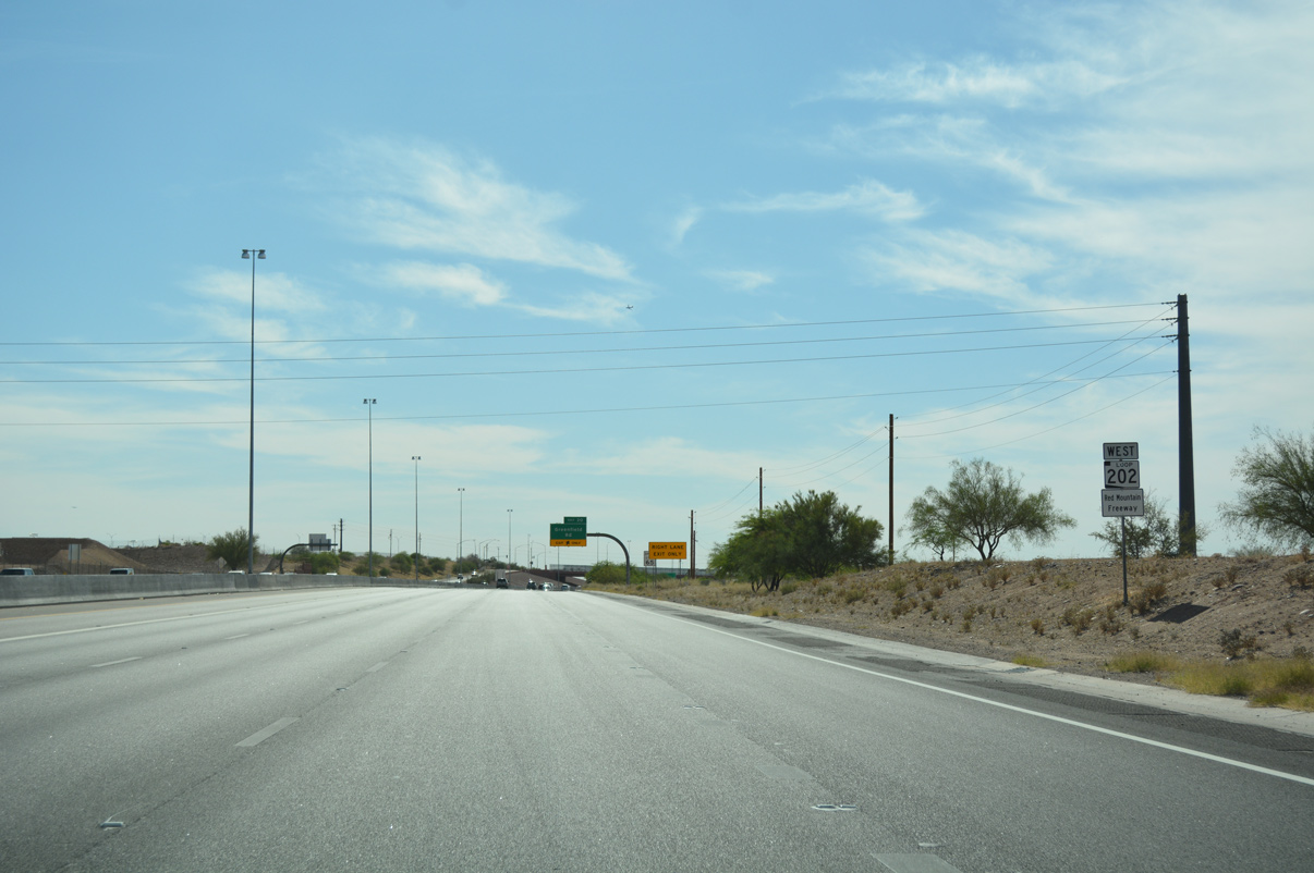
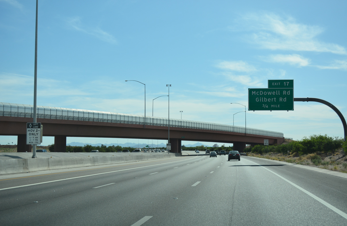
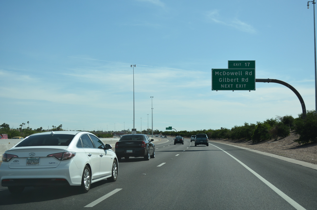
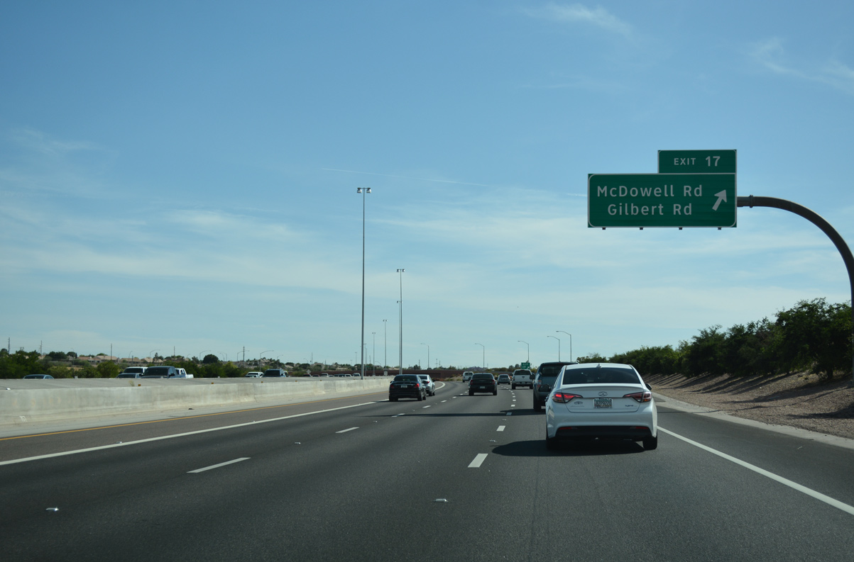
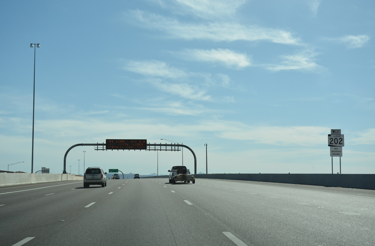
The Red Mountain Freeway (Loop 202) arcs west beyond the half-diamond interchange (Exit 23B) with McDowell Road.
04/26/17
04/26/17
04/26/17
04/26/17
04/26/17
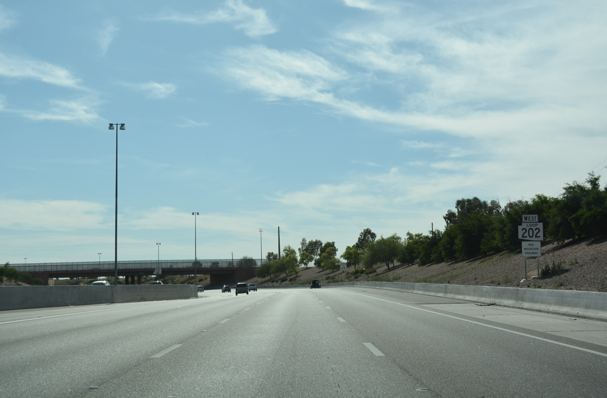
West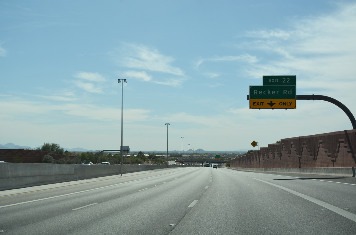
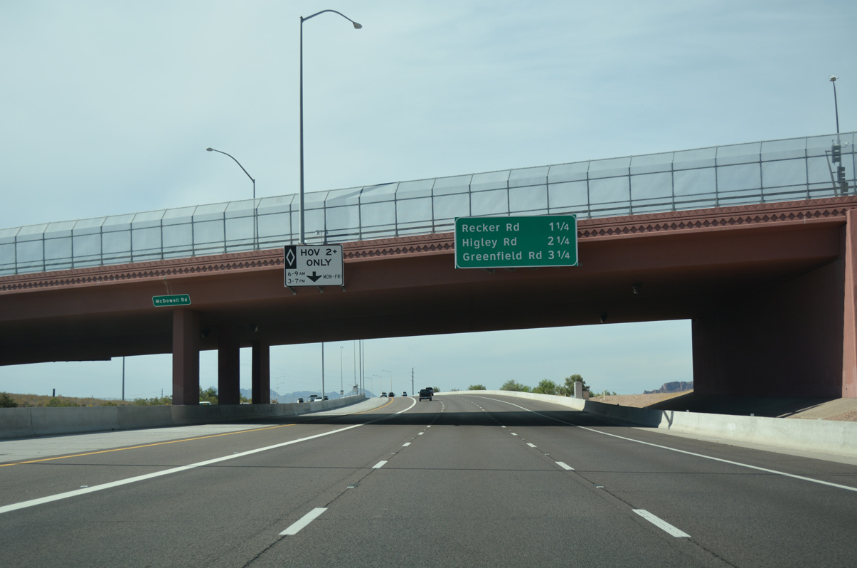
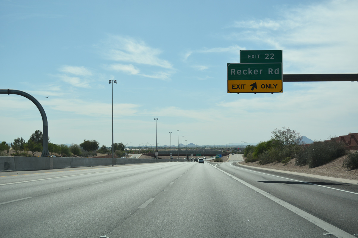
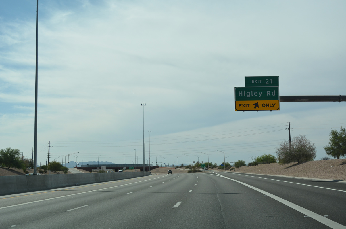
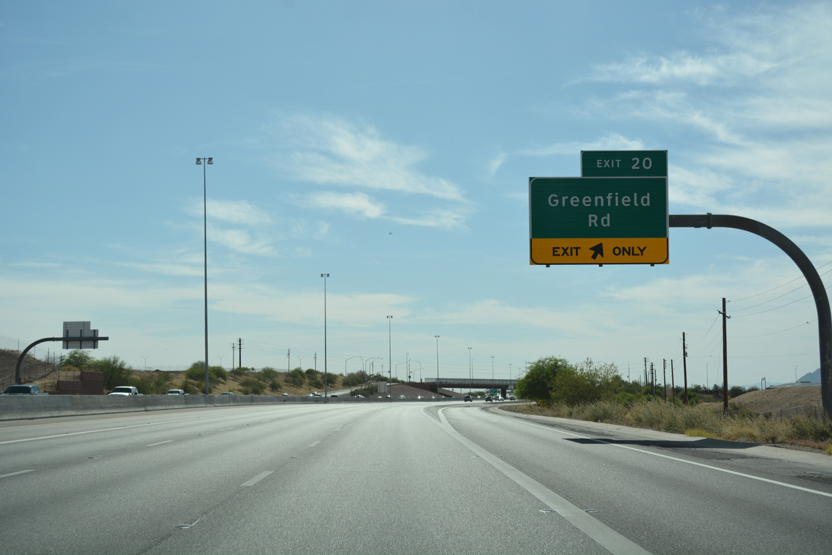
Sound walls line Loop 202 west ahead of the ramp to Recker Road (Exit 22), separating the freeway from Summit Park.
04/26/17
04/26/17
04/26/17
04/26/17
04/26/17
04/26/17
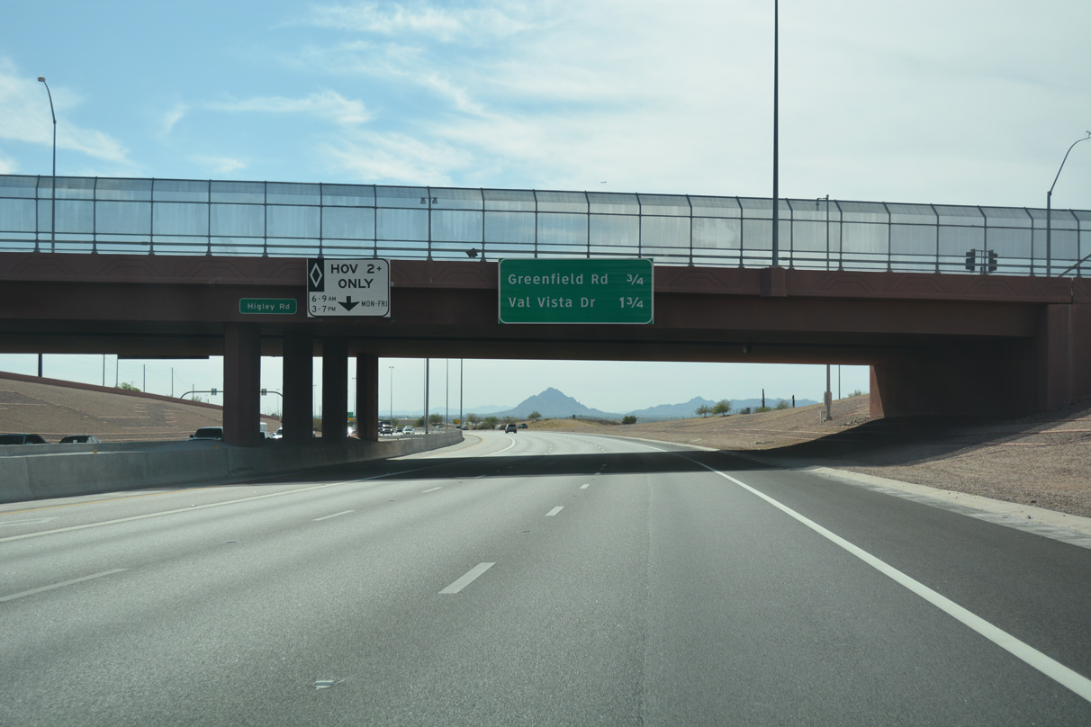
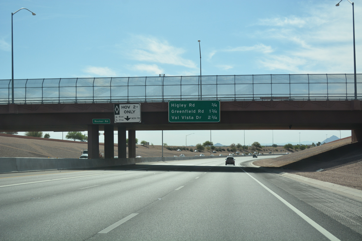
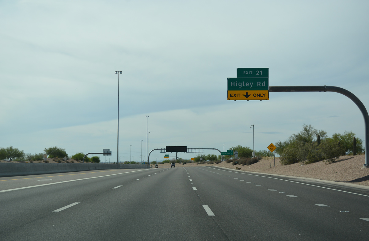
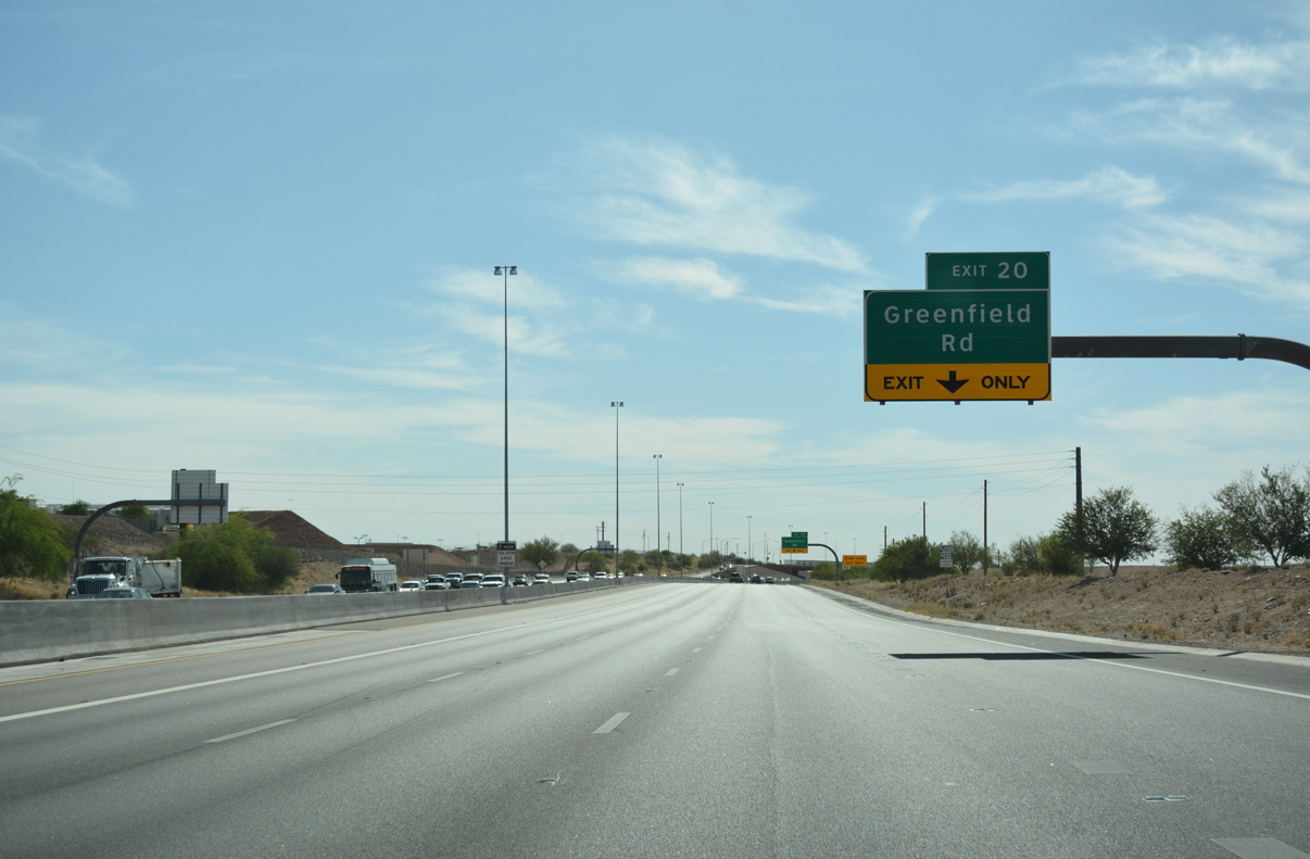
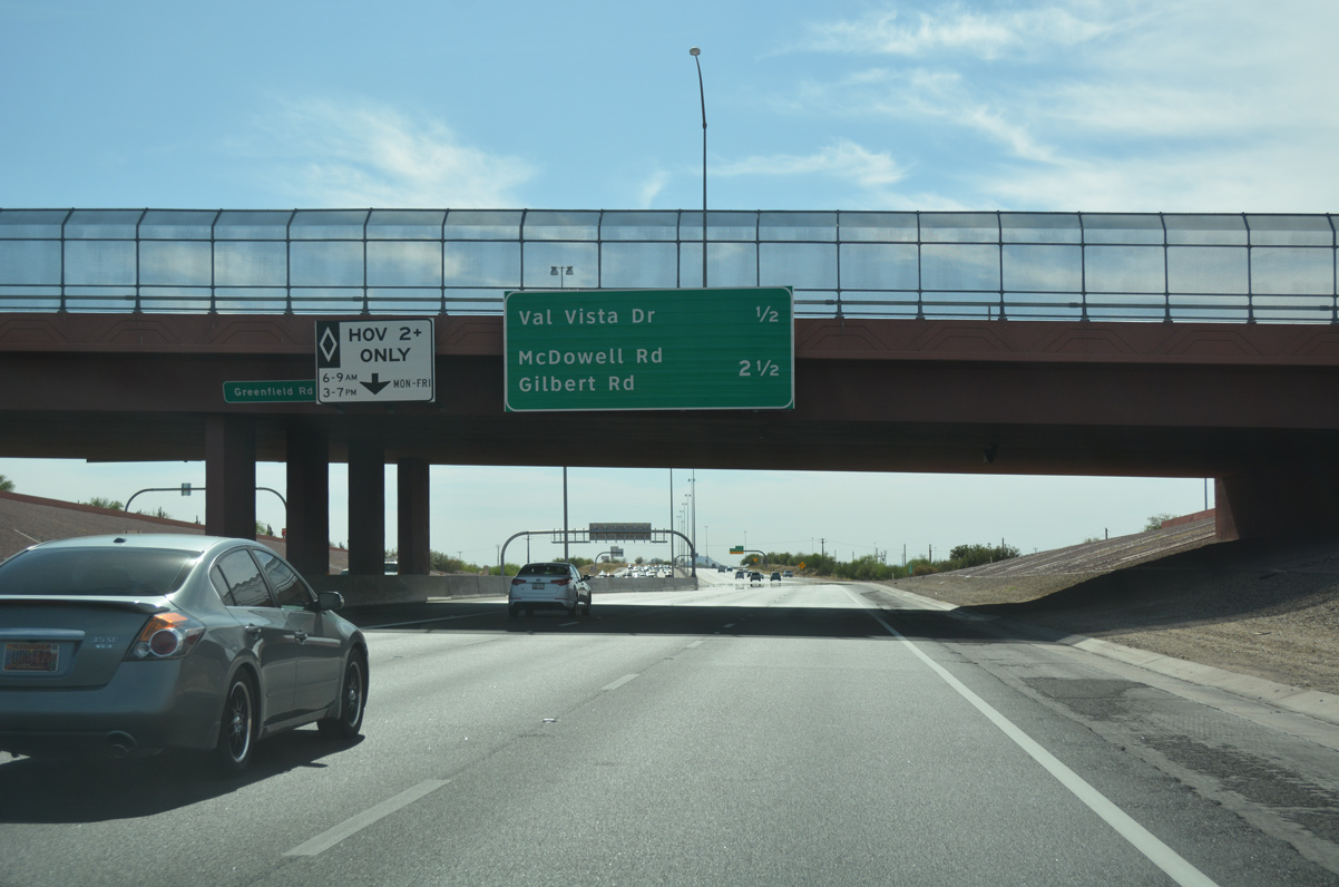
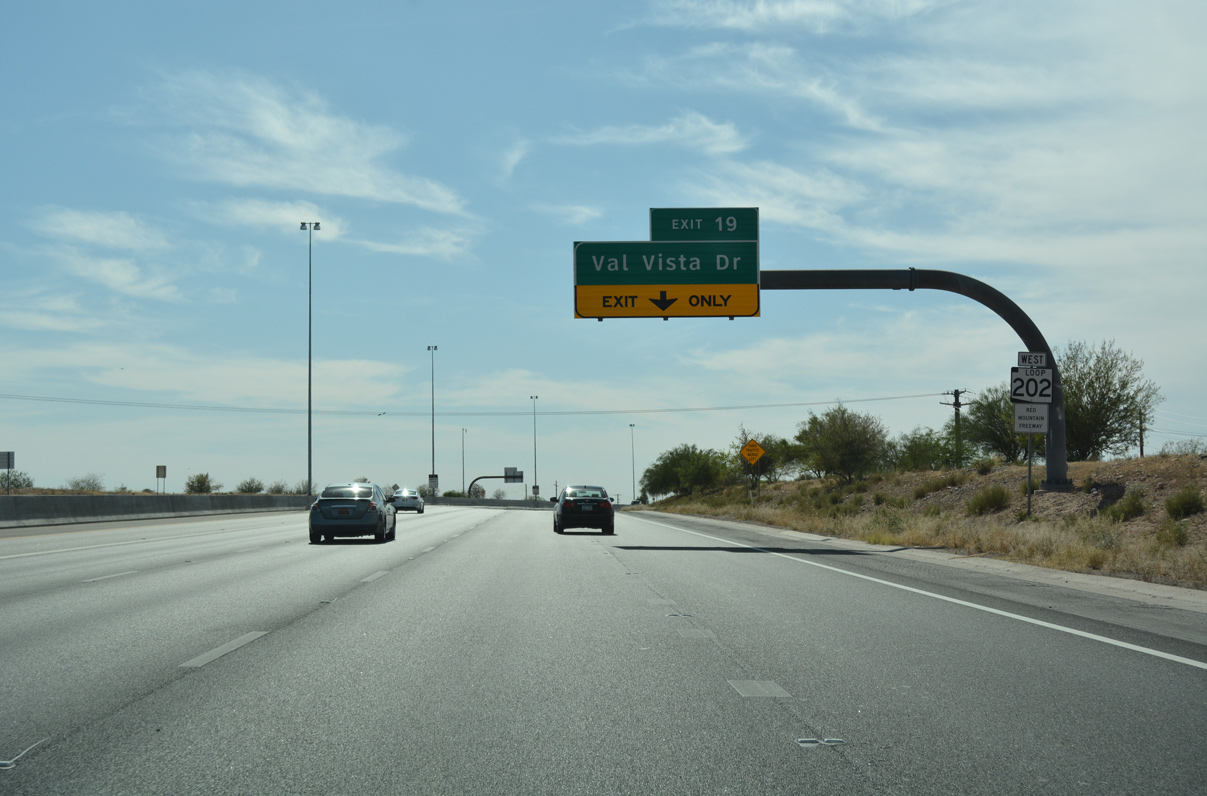
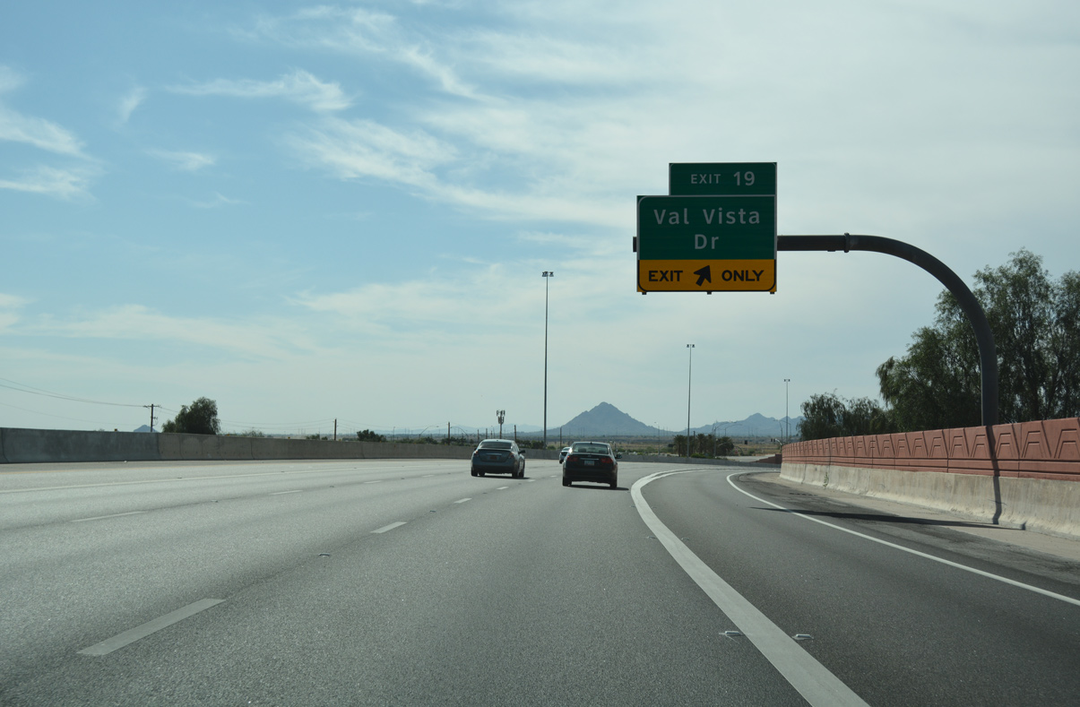
The Red Mountain Freeway passes beneath Higley Road 1.75 miles out from a diamond interchange (Exit 19) with Val Vista Drive south.
04/26/17
04/26/17
04/26/17
04/26/17
04/26/17
Val Vista Drive travels 13.4 miles south through the Mesa and Gilbert street grid to meet Loop 202 (Santan Freeway) in east Chandler.
04/26/17
04/26/17
04/26/17
04/26/17
04/26/17
04/26/17
04/26/17
04/26/17
04/26/17
04/26/17
04/26/17

04/26/17
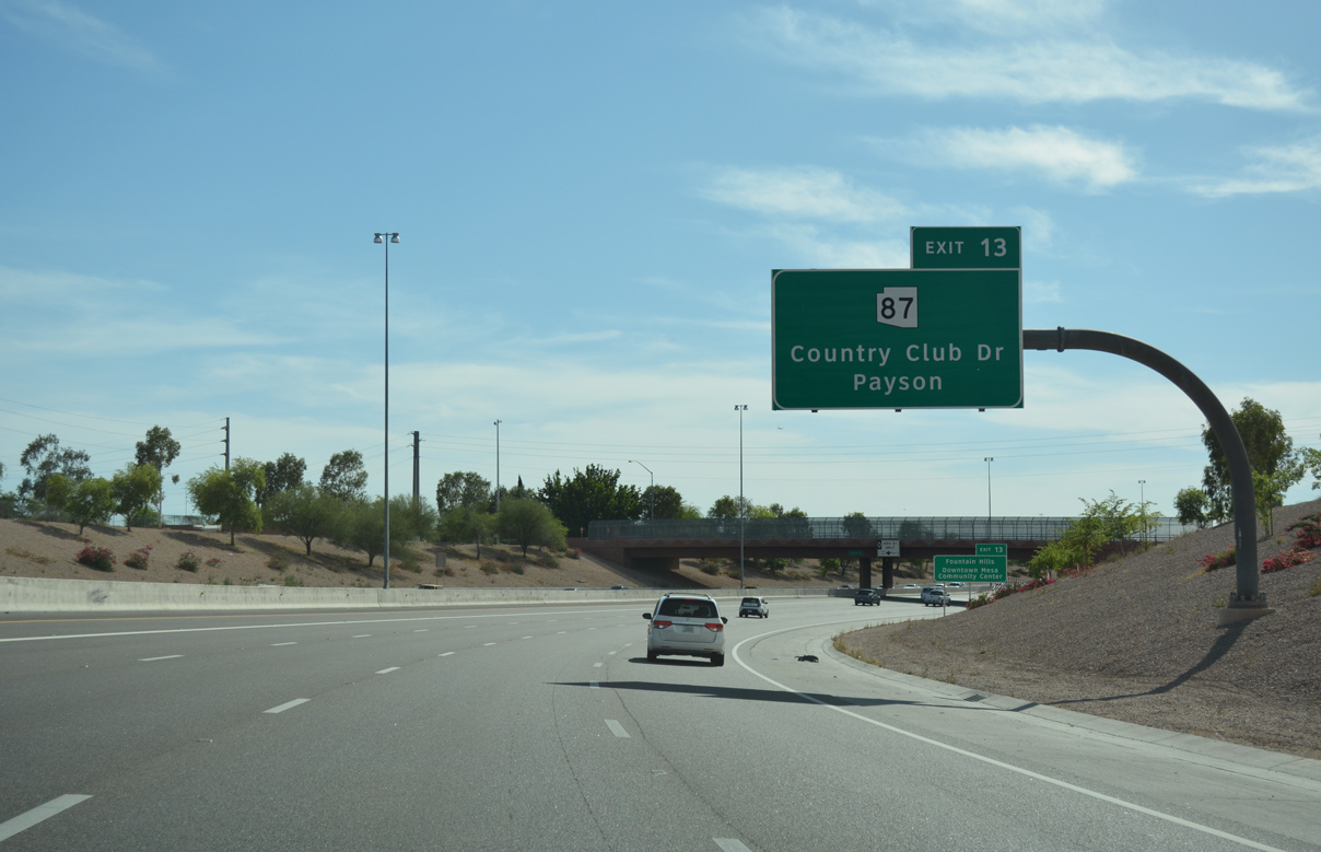
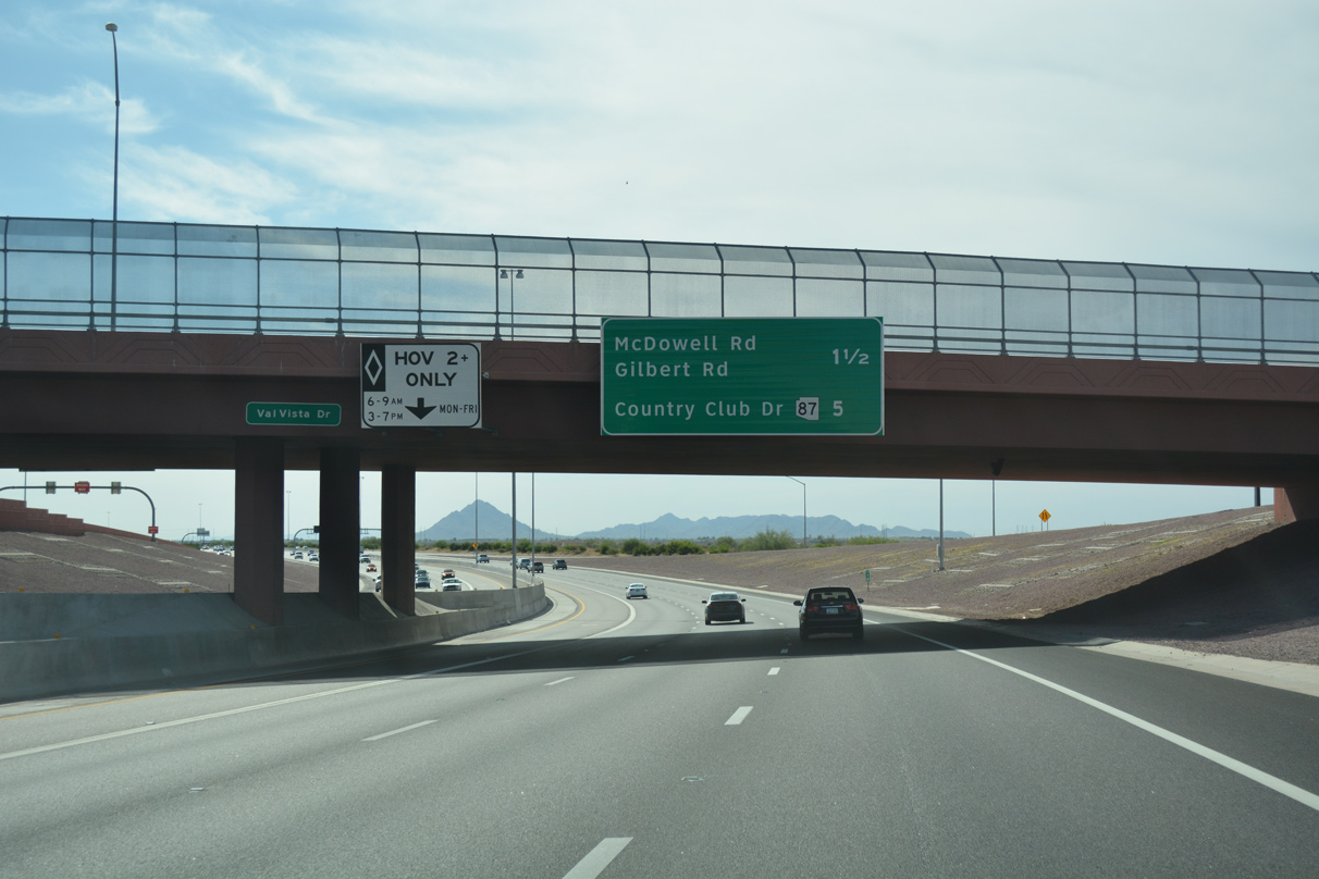
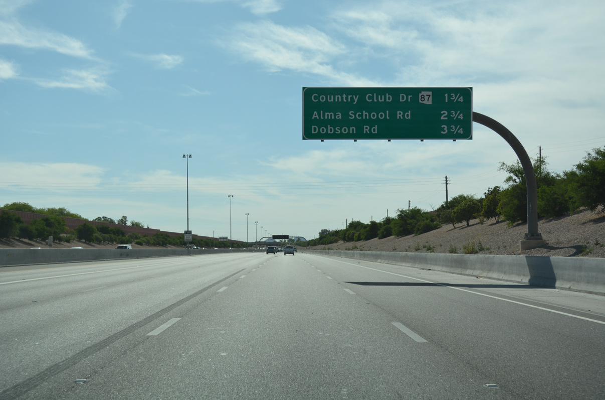
State Route 87 travels 72.8 miles northerly from Loop 202 through the Mazatzal Mountain range and Tonto National Forest to the town of Payson.
04/26/17
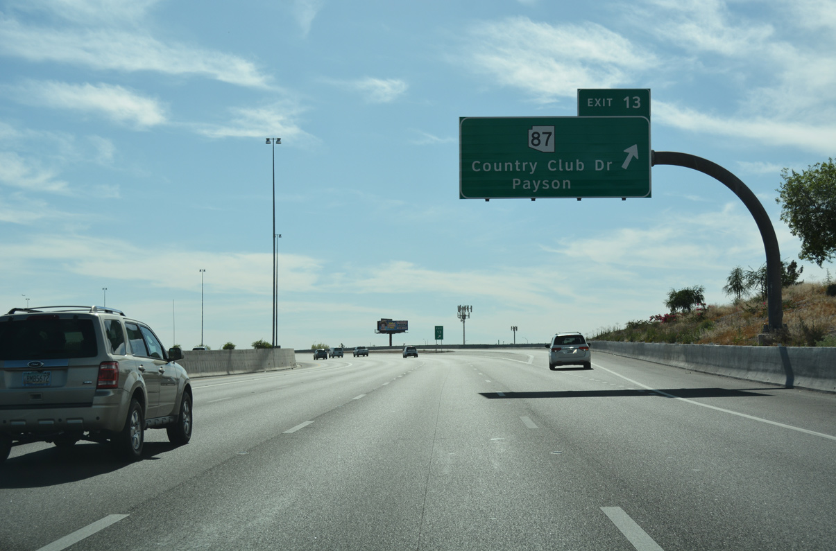
Motorists depart a single lane ramp to State Route 87 (Exit 13). SR 87 follows Country Club Drive south from Loop 202 through the central business districts of Mesa and Chandler.
04/26/17
04/26/17
04/26/17
04/26/17
04/26/17
04/26/17
04/26/17
04/26/17
04/26/17
04/26/17
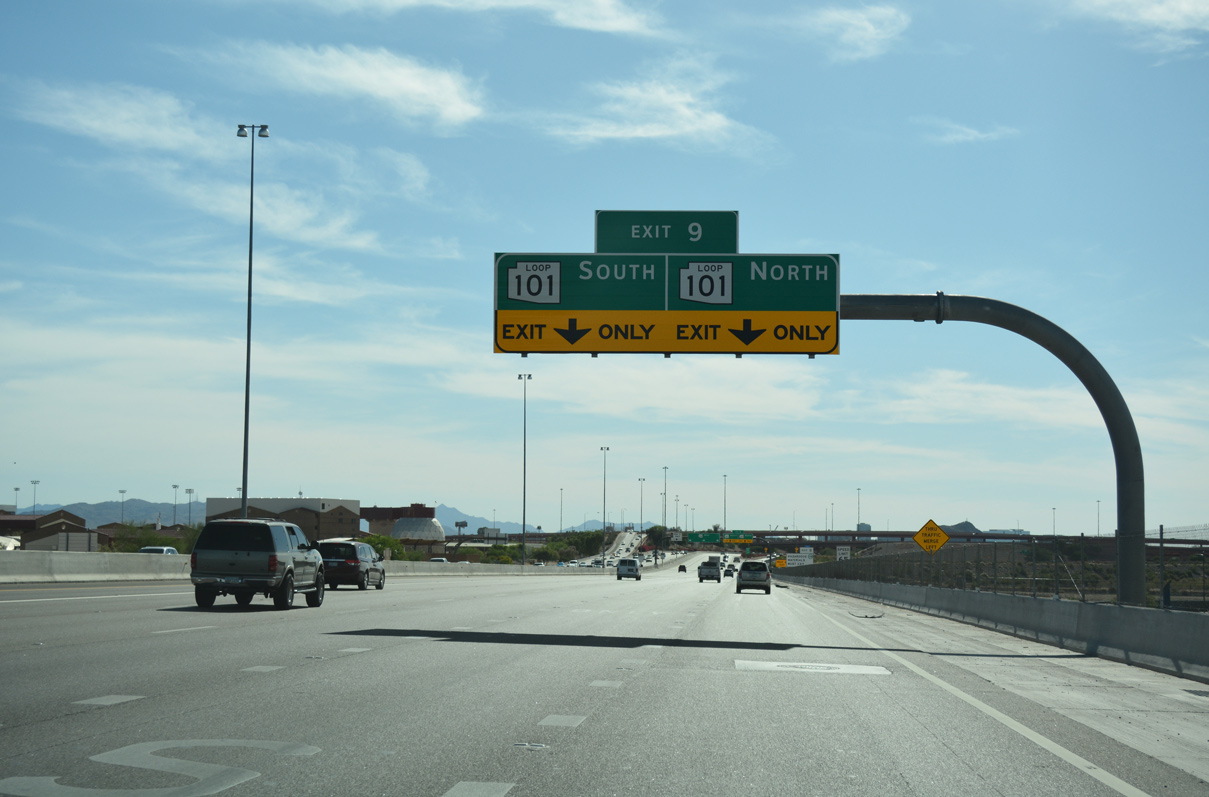
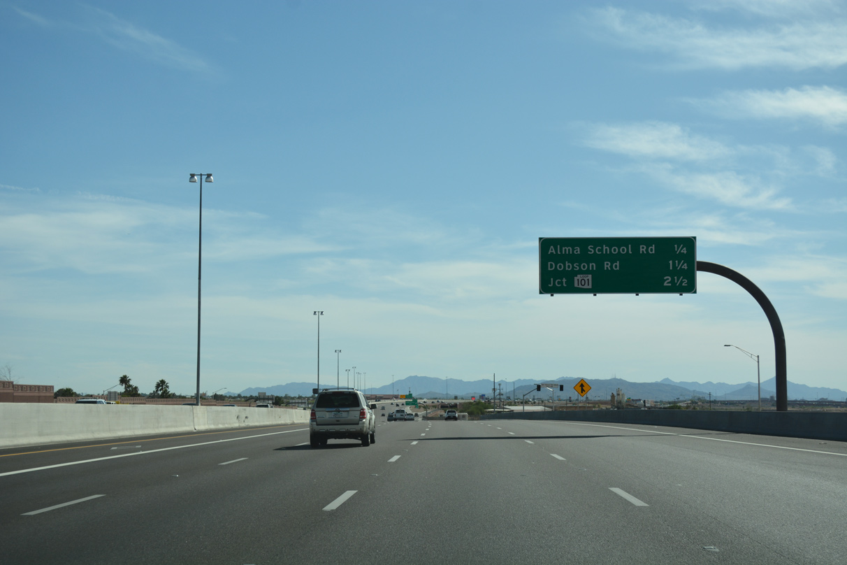
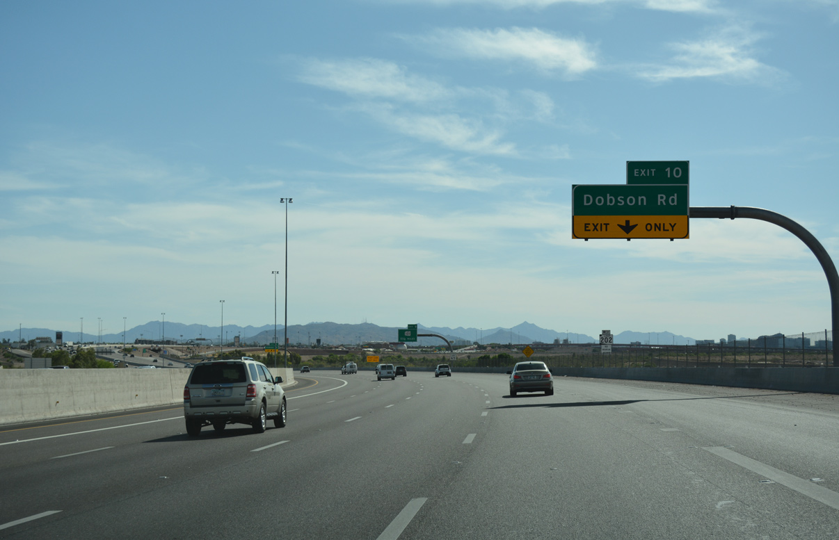
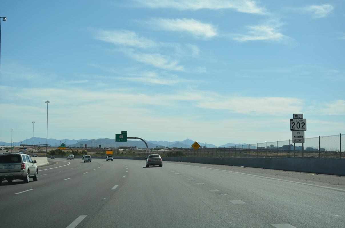
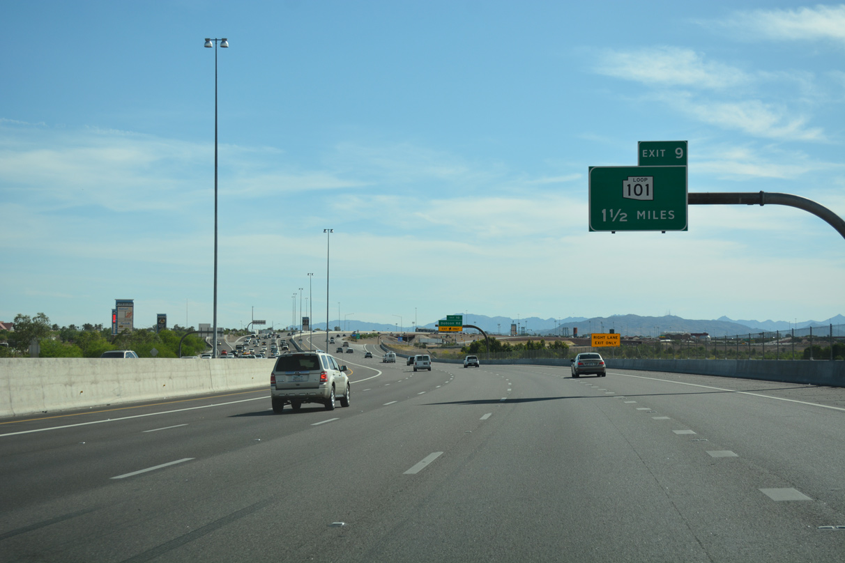
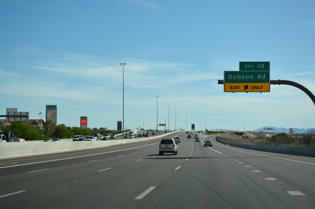
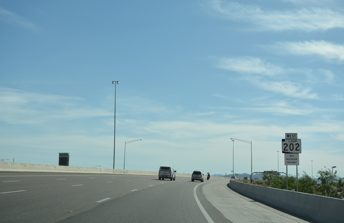
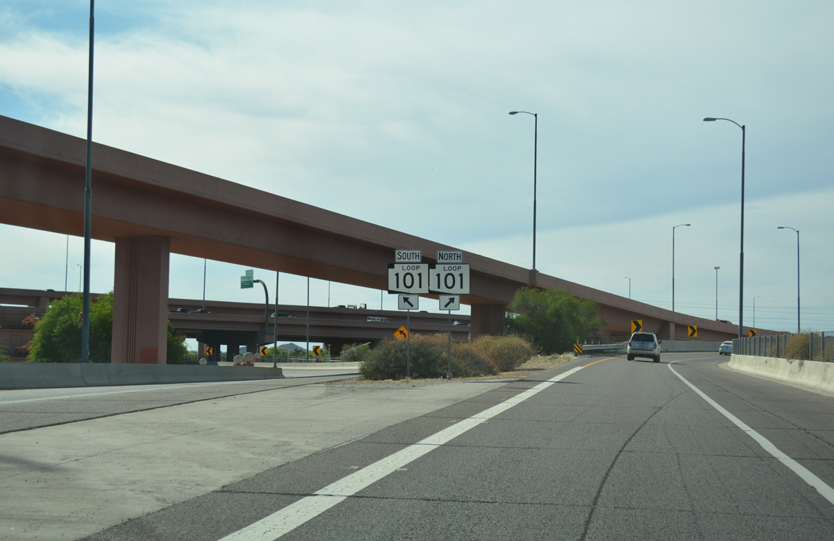
The Pima and Price Freeways (Loop 101) converge ahead at a systems exchange with Loop 202 (Red Mountain Freeway).
04/26/17
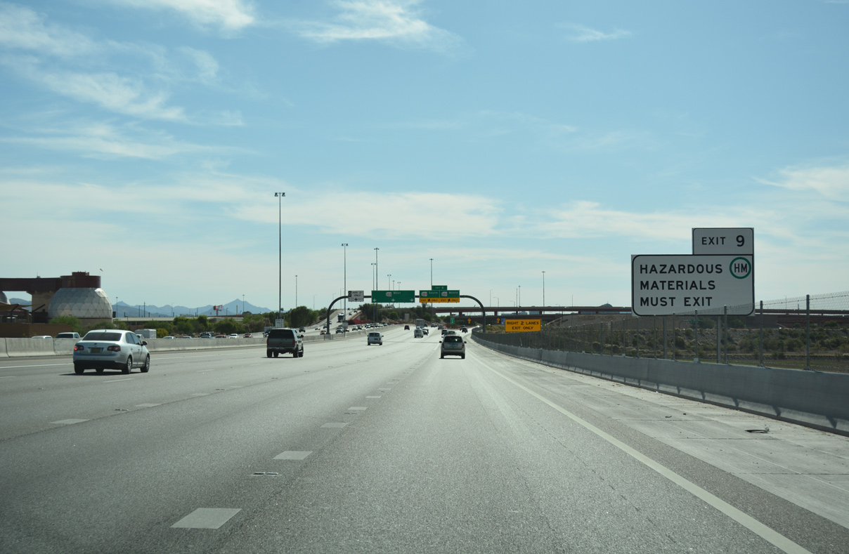
Vehicles carrying hazardous materials must depart the Red Mountain Freeway at the upcoming Loop 101 exchange.
04/26/17
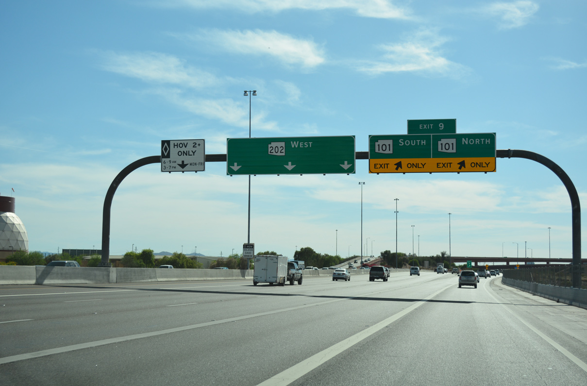
Two travel lanes depart for Loop 101 as Loop 202 (Red Mountain Freeway) continues 10.4 miles to end at the merge to I-10 west to downtown Phoenix.
04/26/17
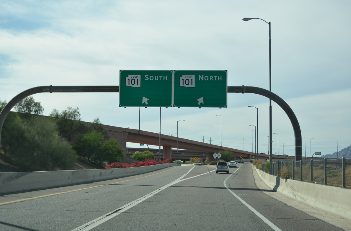
Ramps partition for Loop 101 (Pima Freeway) north to Scottsdale and south along the Price Freeway to Chandler.
04/26/17
04/26/17
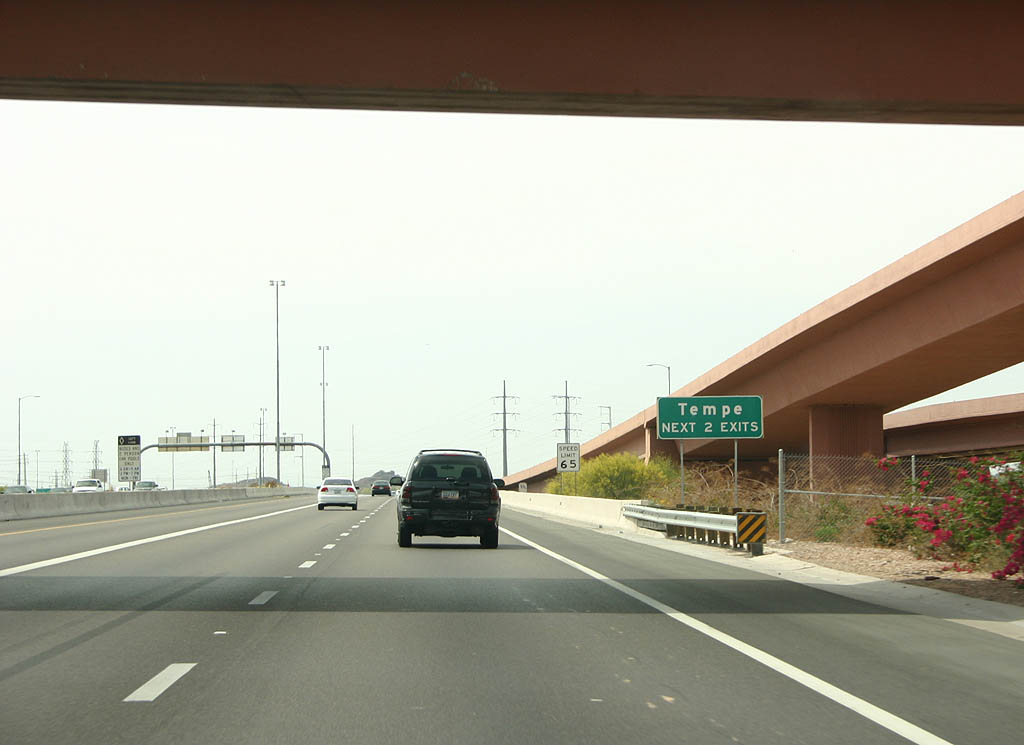
Passing under the Loop 101 interchange, Loop 202 enters the city of Tempe. Tempe, founded in 1871, was founded at the site of a ferry across the Salt River. Today, the city is known for ASU, Mill Avenue and as a vibrant employment center.
04/08/07
04/08/07
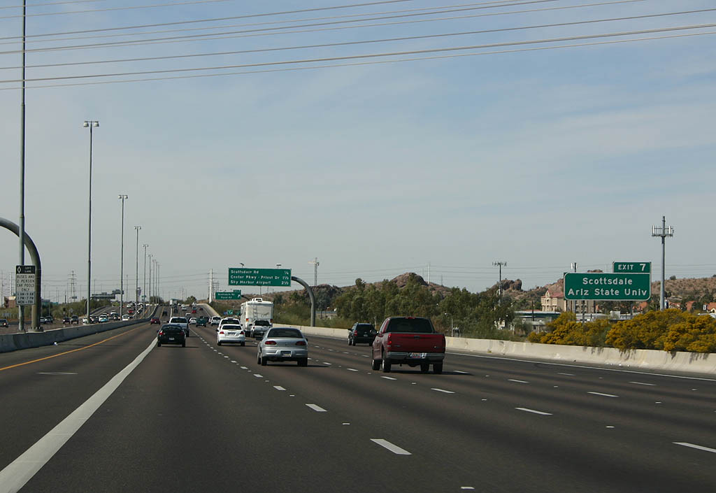
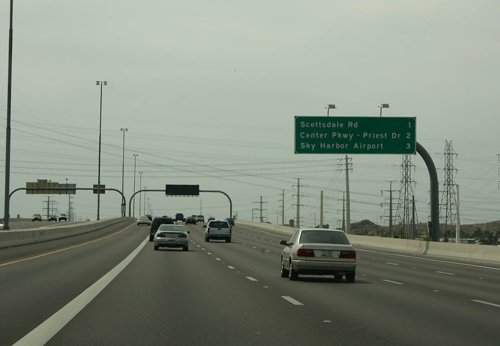
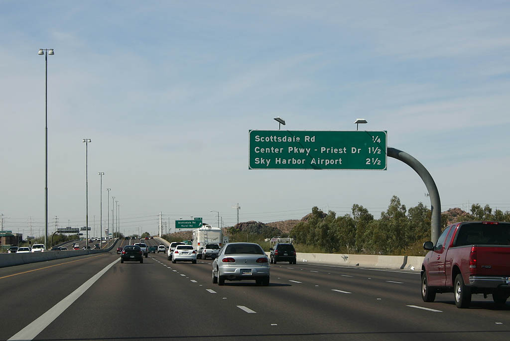
Scottsdale Road (Exit 7) connects Loop 202 with Scottsdale to the north and ASU to the south.
03/03/07
03/03/07
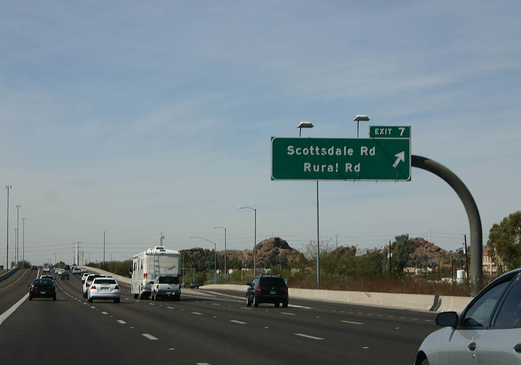
To the south of Loop 202, Scottsdale Road becomes Rural Road through Tempe and Chandler.
03/03/07
03/03/07
03/03/07
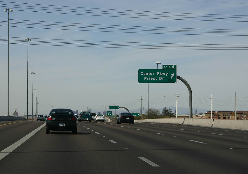
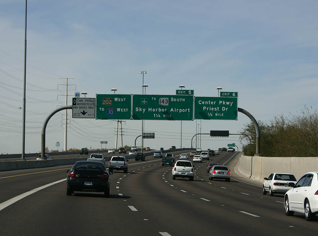
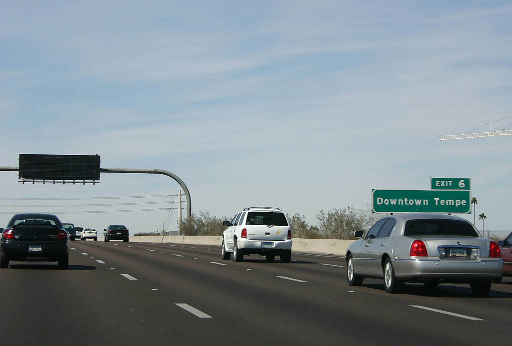
Priest Drive (Exit 6) travels south through Tempe and Guadalupe to Chandler.
03/03/07
Sky Harbor Boulevard (unsigned Loop 202 Spur) joins the Red Mountain Freeway (Loop 202) with Phoenix Sky Harbor International Airport (PHX).
03/03/07
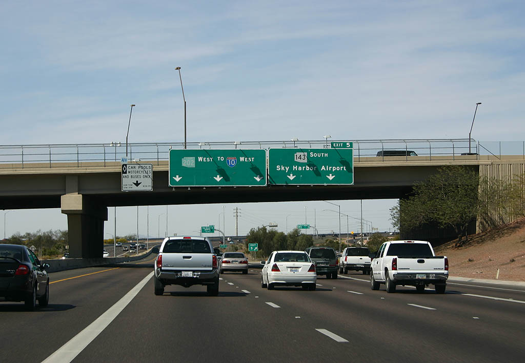
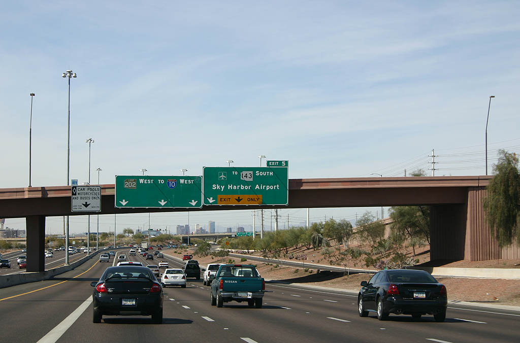
Loop 202 west passes underneath Priest Drive as the ramp to Exit 5 departs for the airport.
03/03/07
03/03/07
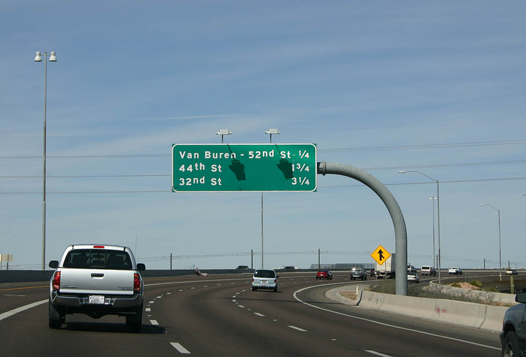
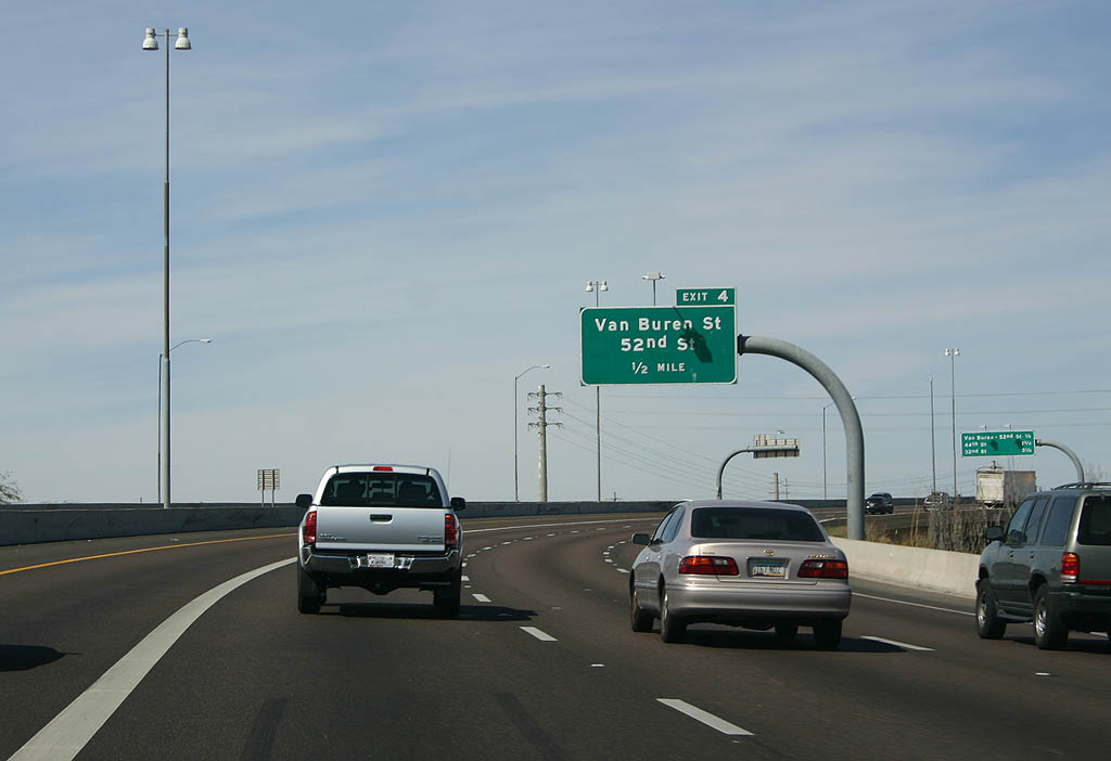
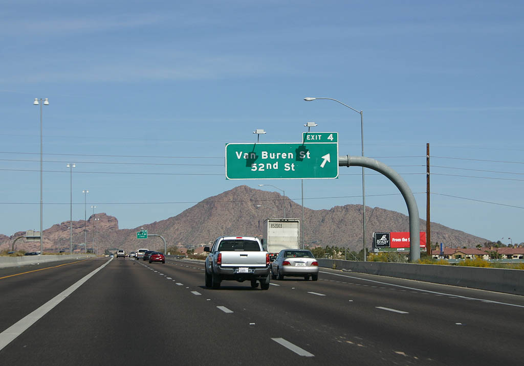
Loop 202 (Red Mountain Freeway) curves north ahead of Van Buren Street and 52nd Street (Exit 4).
03/03/07
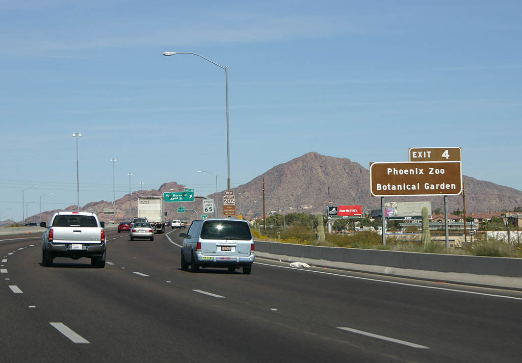
Exit 4 joins Loop 202 with the Phoenix Zoo and the Desert Botanical Garden, both located in Papago Park.
03/03/07
Van Buren Street (Exit 4) represents the former alignment of U.S. 60-70-80-89
03/03/07
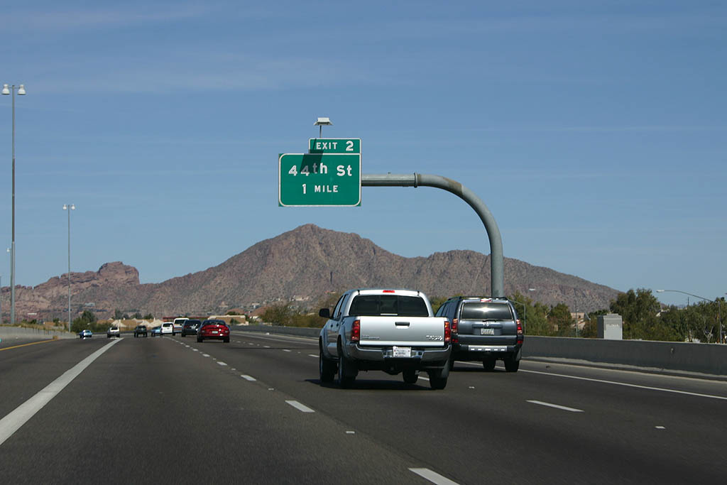
Looking north at Camelback Mountain on the approach to 44th street (Exit 2).
03/03/07
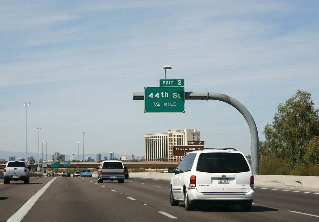
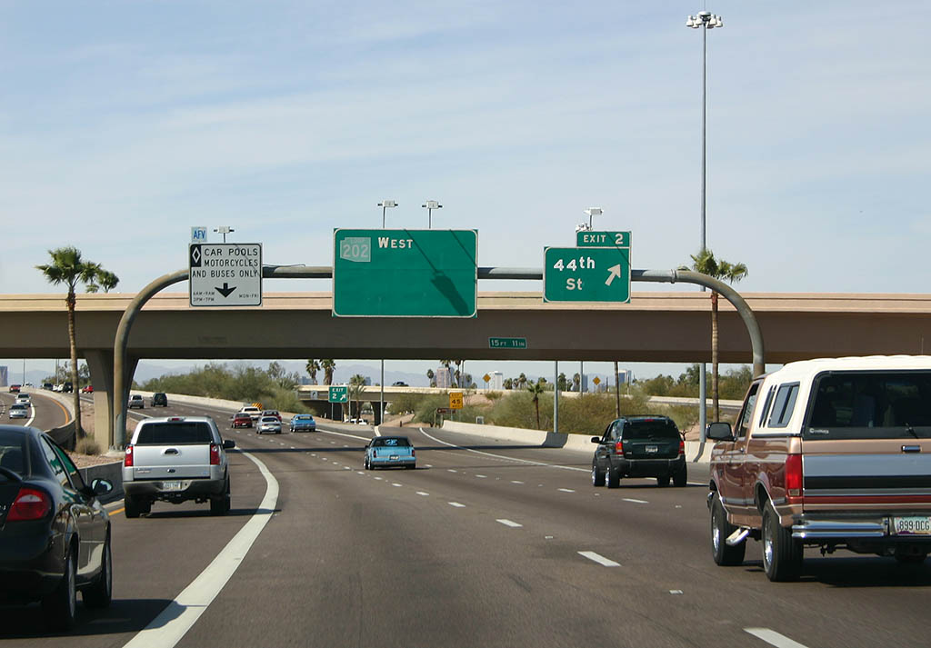
Loop 202 arcs west for a final time ahead of 44th Street (Exit 2). 44th Street joins the Red Mountain Freeway with the Chinese Cultural Center.
03/03/07
Loop 202 west at the departure ramp to 44th Street.The previous overhead sign displayed Loop 202 to I-10, but has long since been removed.
03/03/07
03/03/07
03/01/03
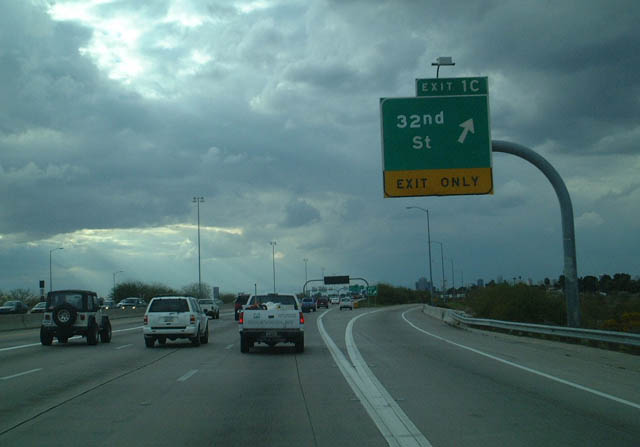
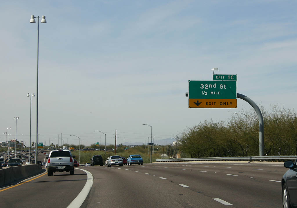
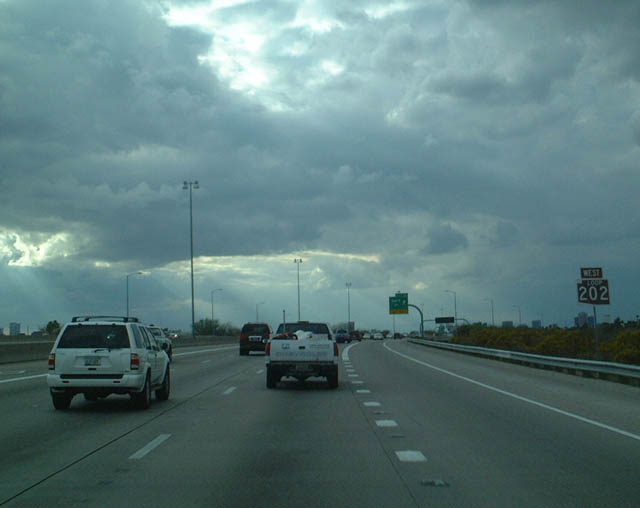
32nd Street (Exit 1C) leads north toward Squaw Peak Recreation Area and south as Van Buren Street.
03/01/03
03/03/07
24th Street (Exit 1B) lines the west boundary of Phoenix Sky Harbor International Airport as well as connecting to its western entrance (via Sky Harbor Boulevard).
03/03/07

03/03/07
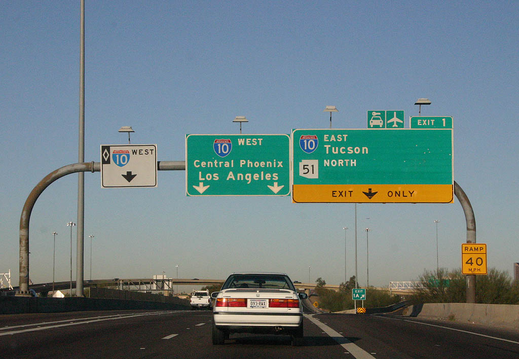
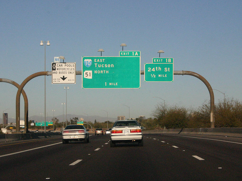
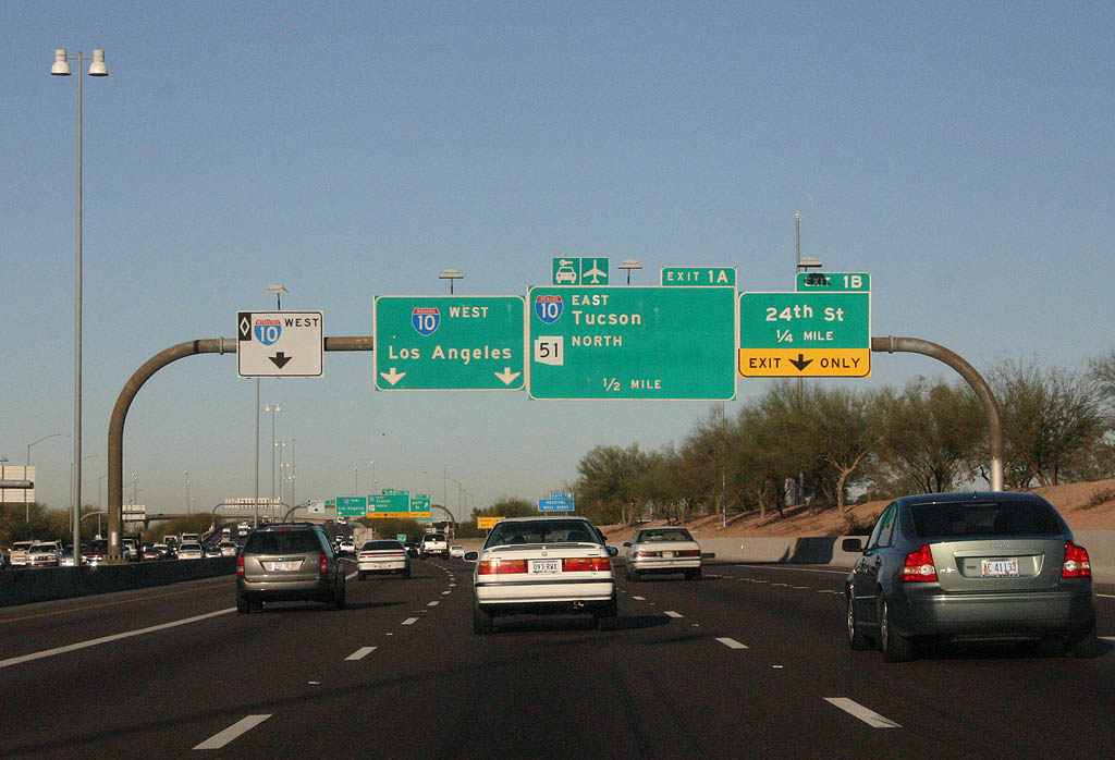
Loop 202, I-10, and SR 51 come together at a multi-level interchange ahead, locally referred to as the Mini-Stack. SR 51 travels north along the Piestewa Freeway to Loop 101 and northern reaches of the Phoenix area.
03/03/07
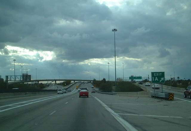
Spanning 24th Street (Exit 1B) along Loop 202 west, a ramp departs for Exit 1A to SR 51 north and I-10 east. I-10 travels on a southeast course, joining Phoenix with Tucson.
03/01/03
Loop 202 concludes its 78 mile run as it merges onto I-10 west to Downtown.
03/01/03

Photo Credits:
- 03/01/03 by AARoads.
- 03/03/07 by Kevin Trinkle.
- 04/08/07 by Kevin Trinkle.
- 04/26/17 by AARoads and Chris Kalina.
Connect with:
Interstate 10
State Route 51
State Route 87 - Beeline Highway
Loop 101
State Route 143 - Hohokam Expressway
Page Updated 03-28-2022.