|
| The first reassurance marker for SR 6 appears just west of Delaware Avenue along Woodland Beach Road. The state route traverses marshland across Woodland Beach State Wildlife Area along a 2.1 mile causeway west to Serverson Neck. 02/18/02 |
|
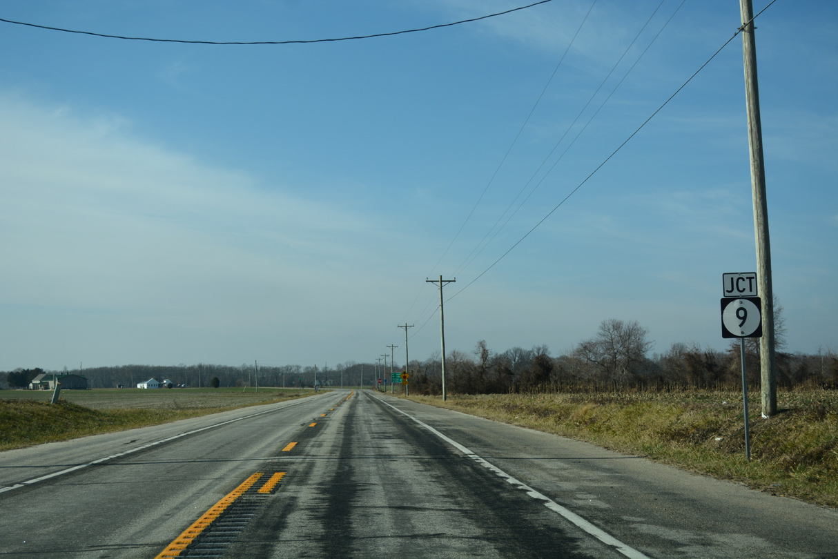
| Woodland Beach Road rises from five to 13 feet above sea level by the time SR 6 west intersects SR 9. 01/15/17 |
|
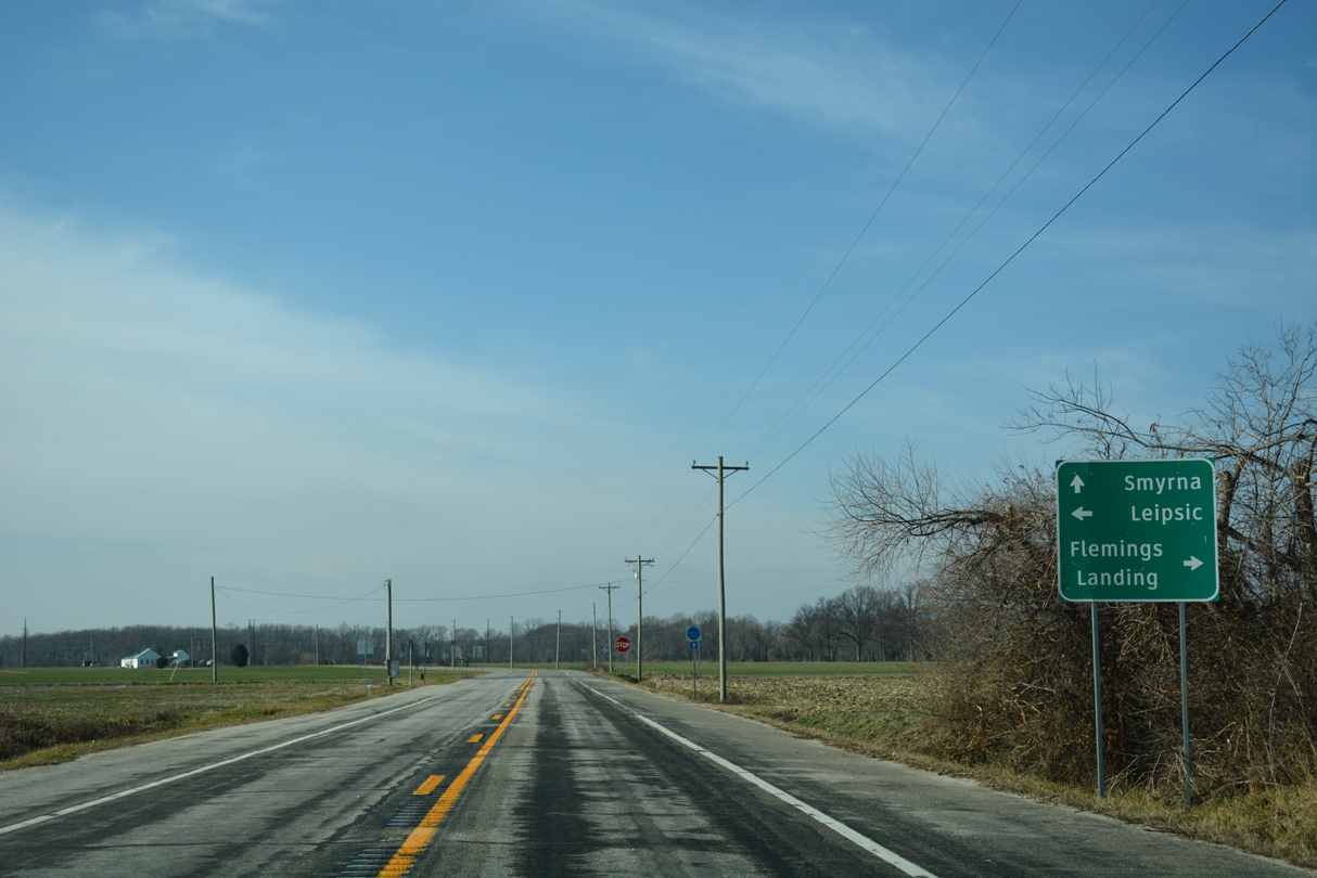
| SR 9 (Hay Point Landing Road) traverses coastal areas of Kent County north to Flemings Landing and south to Leipsic and Little Creek. The 58.18 mile route travels south to Dover Air Force Base and north to Wilmington. 01/15/17 |
|
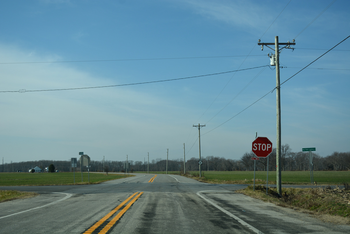
| SR 6 (Woodland Beach Road) and 9 (Hay Point Landing Road) intersect at a four-way stop just north of Bombay Hook National Wildlife Refuge. 01/15/17 |
|
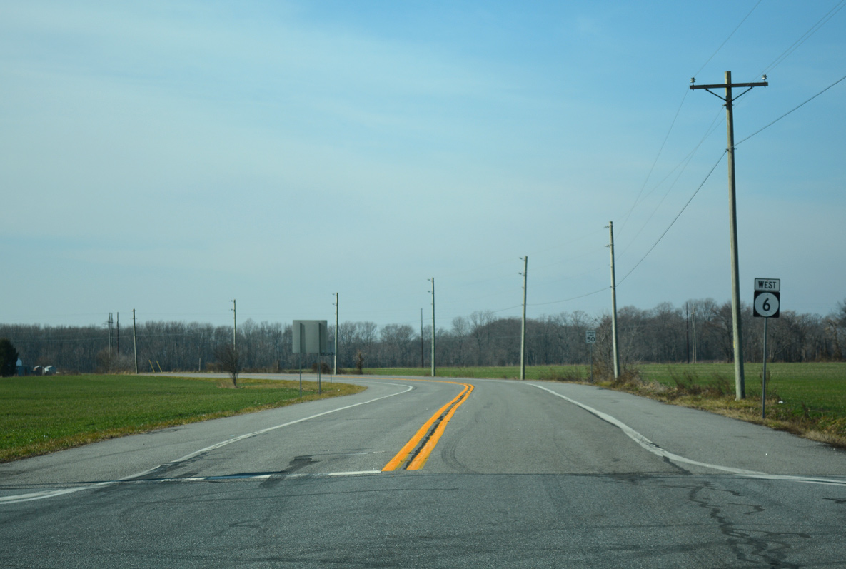
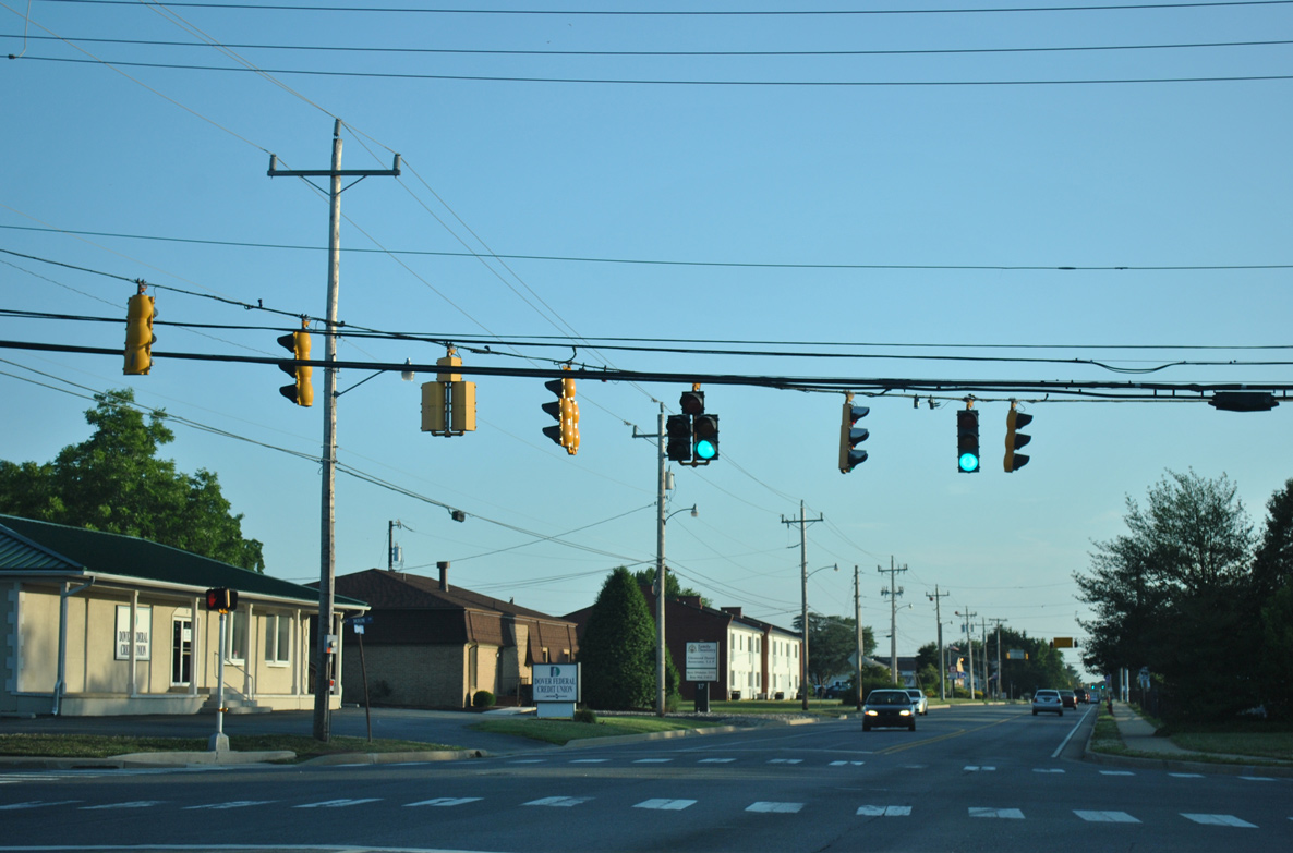
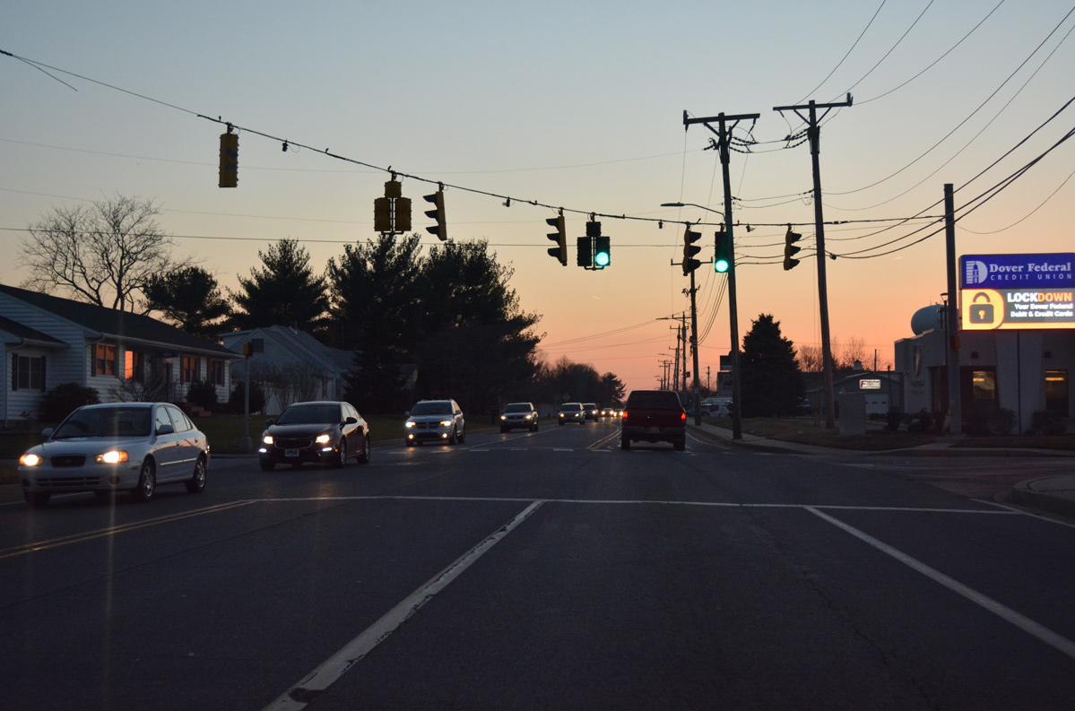
| West from SR 9, SR 6 remains rural to Carrolltown and Mill Creek outside the town of Smyrna. 01/15/17 |
|
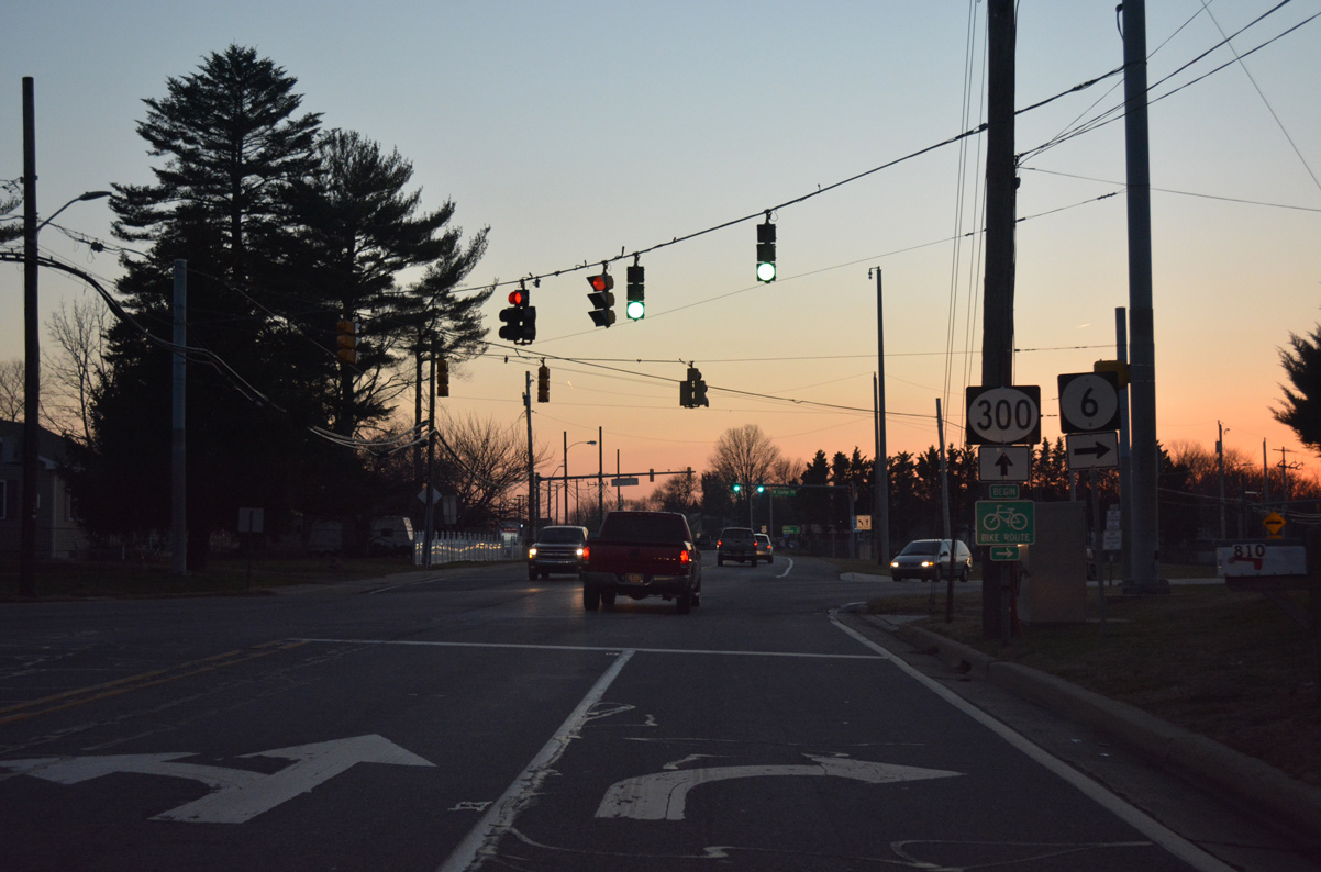
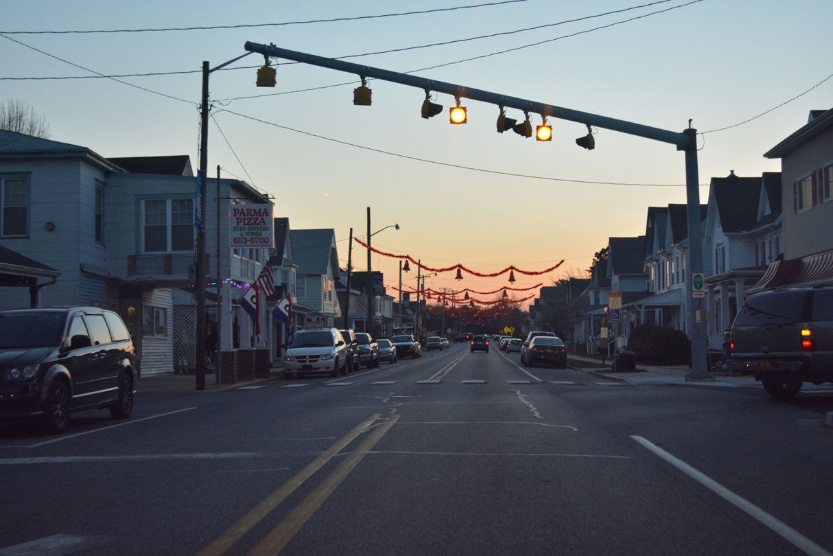
| SR 6/300 (Glenwood Avenue) commence a 1.10 mile overlap west from U.S. 13 (Dupont Boulevard) as a three lane boulevard by the Smyrna Mart retail center. 06/17/12 |
|
| The ensuing intersection joins SR 6/300 (Glenwood Avenue) with Main Street south to Downtown Smyrna and north to Smyrna Municipal Park and Duck Creek Road. 06/17/12 |
|
| Westbound SR 6/300 (Glenwood Avenue) at High Street. High Street heads north from the Smyrna street grid to a town home community. 12/28/16 |
|
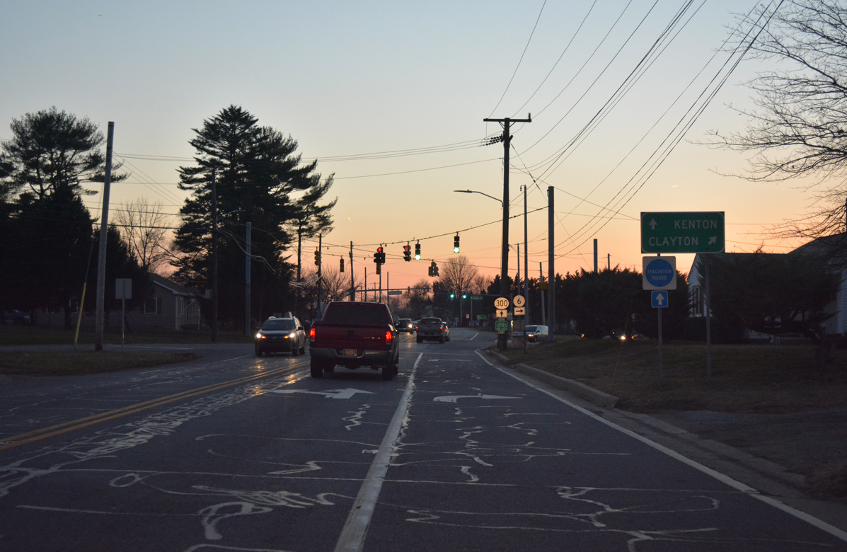
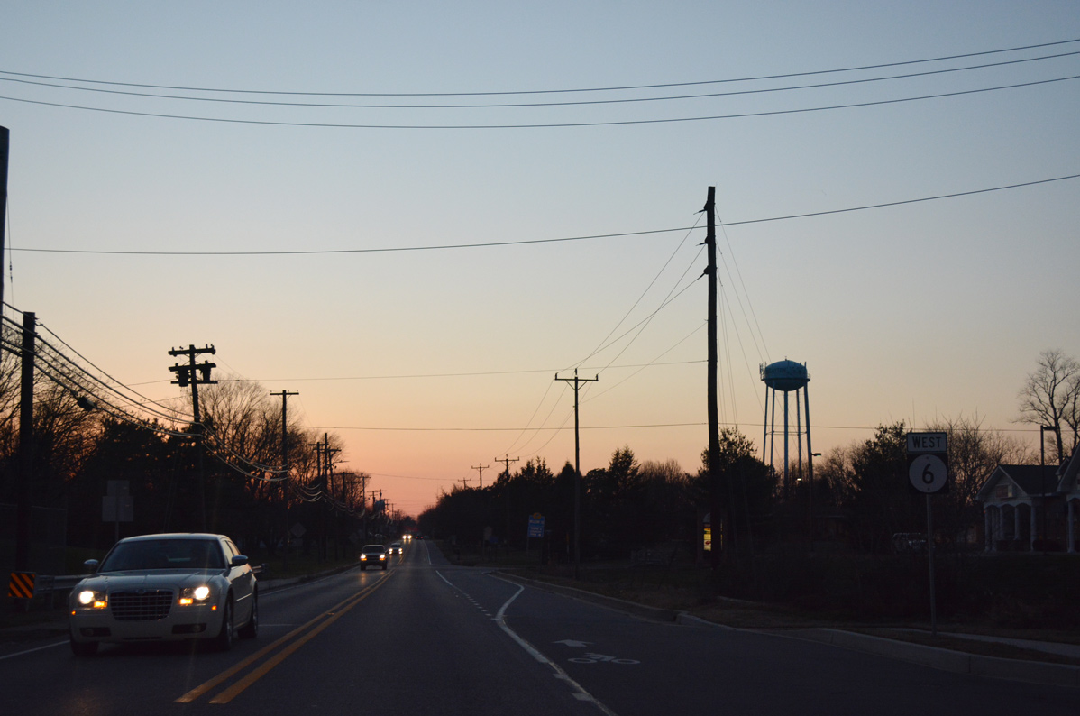
| SR 6 partitions with SR 300 to join Smyrna Clayton Boulevard west to Main Street through the Clayton town center. SR 300 turns southwest along Wheatleys Pond Road through suburban areas of south Clayton. 12/28/16 |
|
| SR 6 travels another 7.87 miles west to become MD 291 ahead of Millington. MSR 300 continues another 10.73 miles through Kenton and Everetts Corner to cross the Maryland state line en route to Sudlersville. 12/28/16 |
|
| Confirming marker posted as SR 6 leads away from SR 300 and approaches Main Street. 12/28/16 |
|
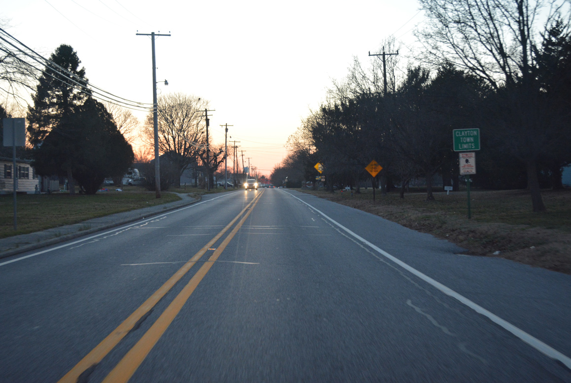
| SR 6 enters the town of Clayton just west of the Town & Country Farm subdivision. 12/28/16 |
|
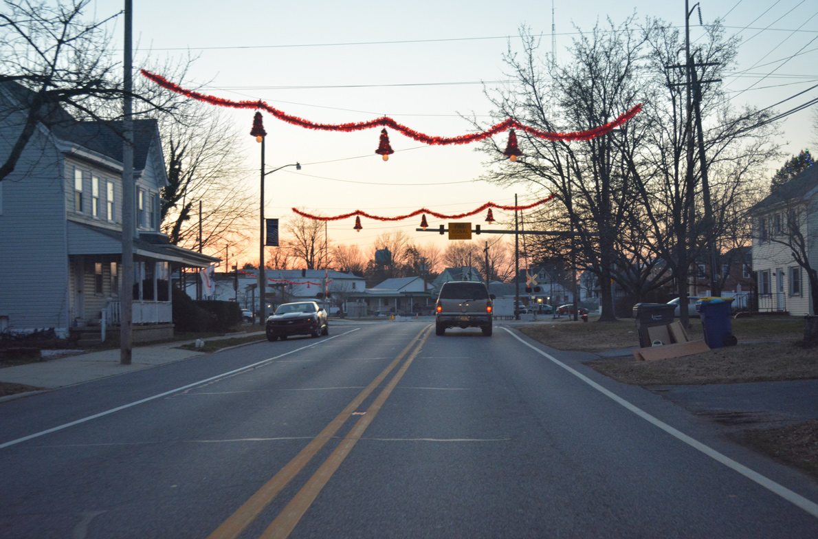
| Main Street kinks southwest across the Norfolk Southern Railroad at Bassett Street. 12/28/16 |
|
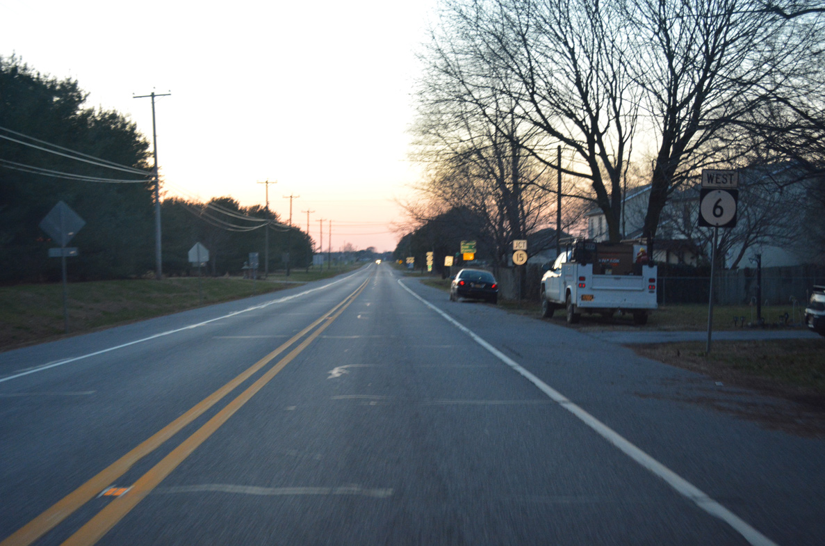
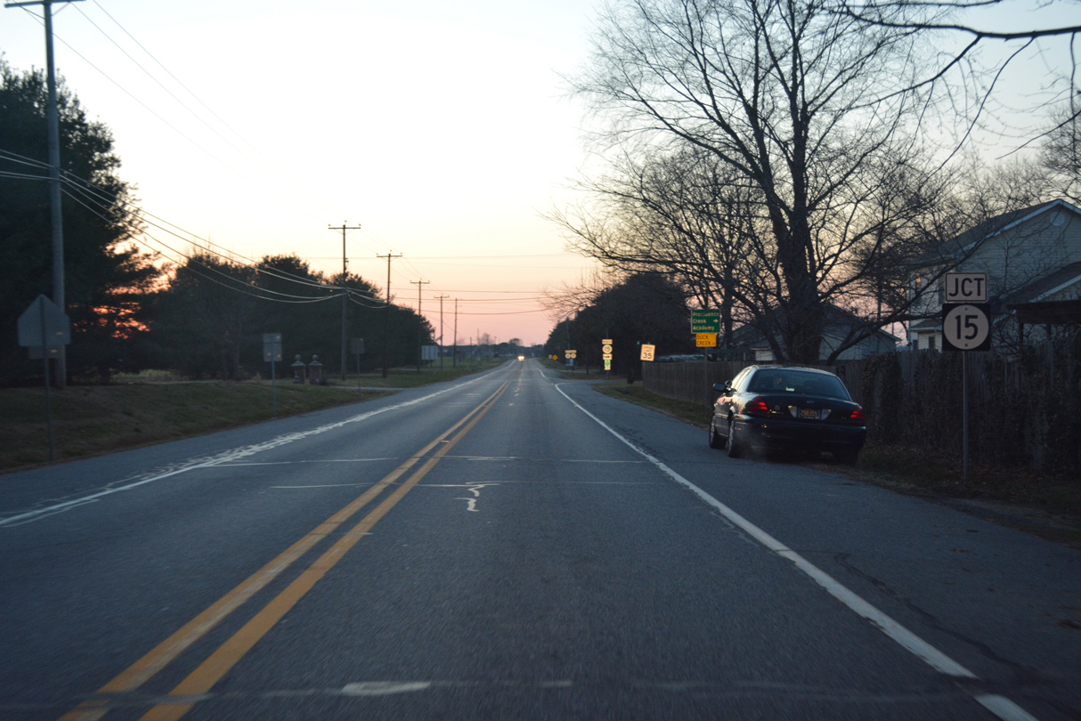
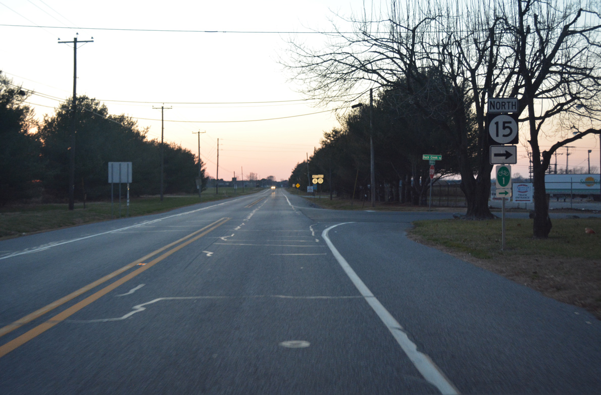
| Clayton Avenue provides a cutoff to SR 15 (West Duck Creek Road) north from SR 6 (Main Street) west in Downtown Clayton. 12/28/16 |
|
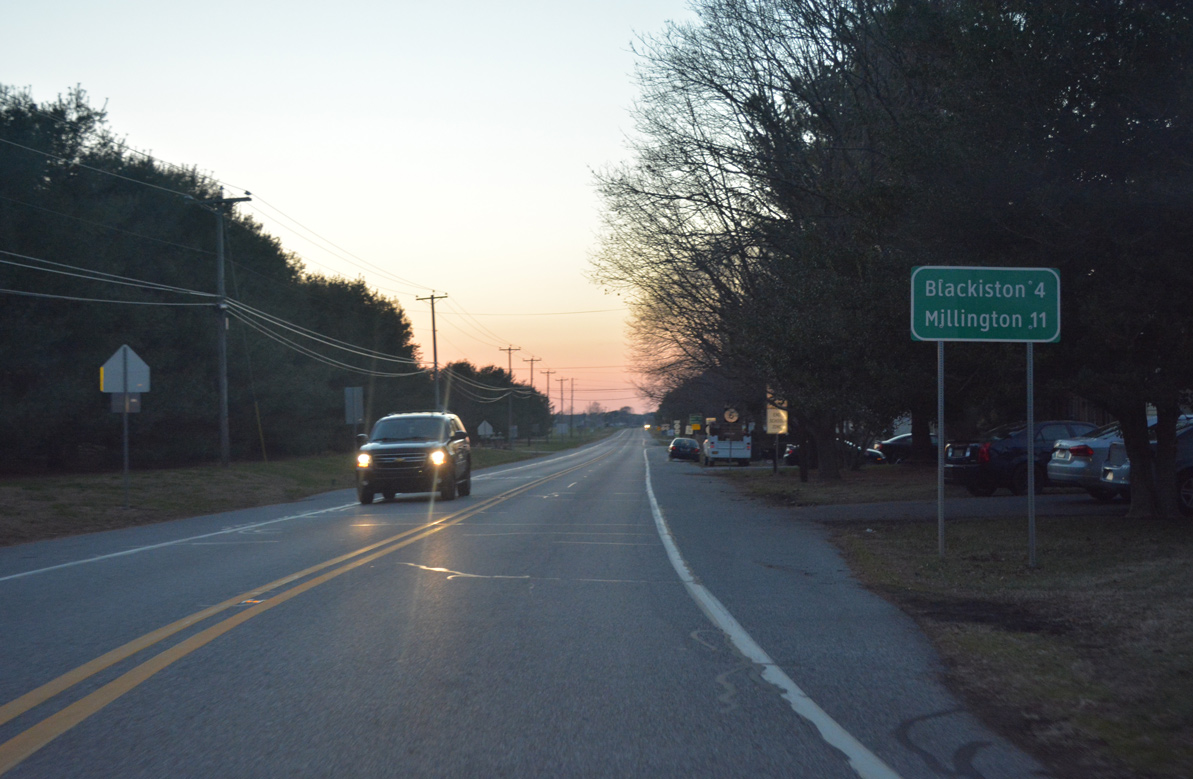
| Main Street and School Lane converge ahead of this distance sign posted four miles from Blackiston and 11 miles from Millington, Maryland. 12/28/16 |
|
| SR 6 leaves the town of Clayton beyond the forthcoming intersection with SR 15 (W Duck Creek Road) north. 12/28/16 |
|
| SR 15 enters Clayton from Dexter Corners and Green Spring in southern New Castle County, 12/28/16 |
|
| W Duck Creek Road angles SR 15 north through Clayton with a 25 mile per speed limit to Providence Creek and the county line. SR 15 follows a number of back roads northwest to Middletown. It ends in 22.08 miles at SR 71/896 by Summit Bridge. 12/28/16 |
|
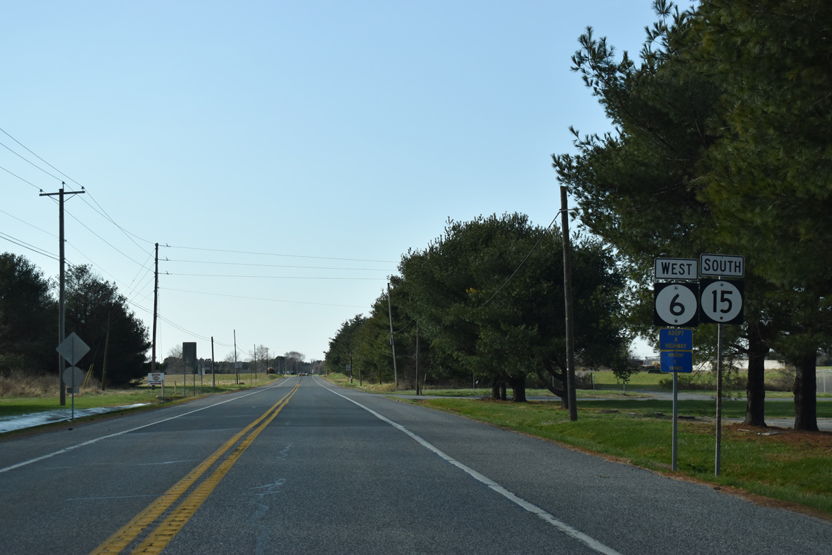
| SR 15 south combines with SR 6 (Millington Road) beyond the Clayton town line. 12/28/20 |
|
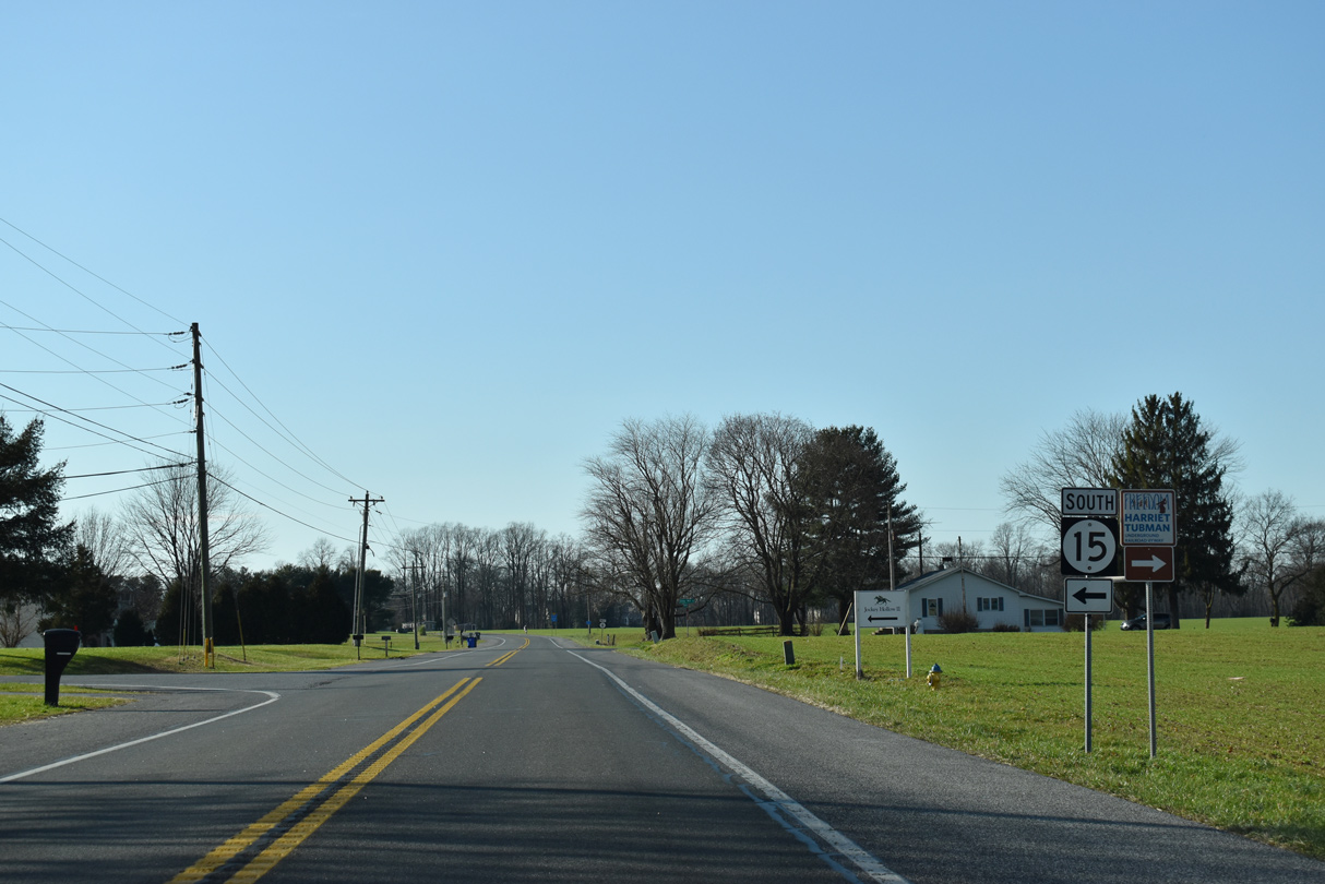
| SR 15 parts ways with SR 6 (Millington Road) beyond the Wind Song subdivision along Alley Corner Road south 2.62 miles to SR 300 (Wheatleys Pond Road) en route to Cheswold. 12/28/20 |
|
| Alley Mill Road (Rd 133) ties into SR 6 (Millington Road) 2.62 miles south from SR 15 (Vandyke Greenspring Road) in New Castle County before this confirming marker. 12/28/20 |
|
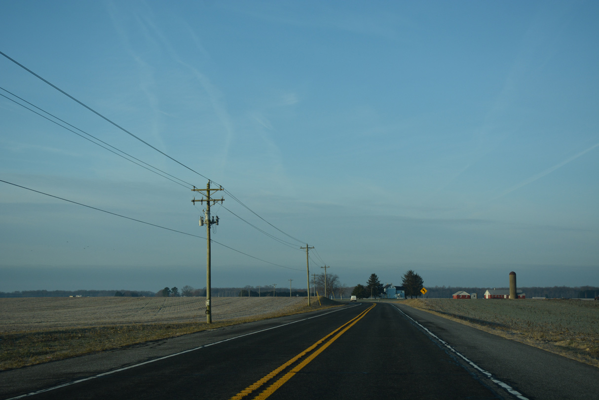
| SR 6 (Millington Road) gains 22 feet in elevation on the drive west southwest to SR 42 at Blackiston. 01/16/17 |
|
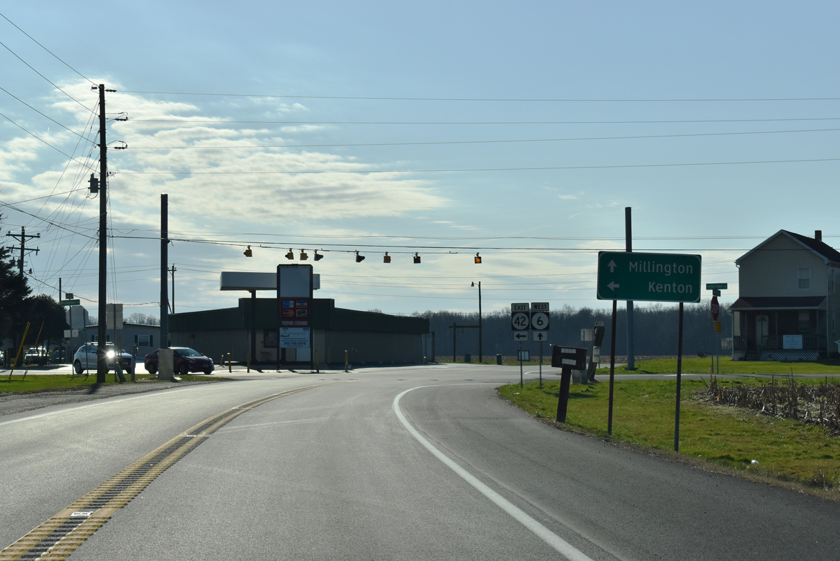
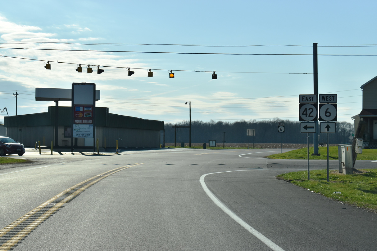
| SR 6 west reaches the settlement of Blackiston, where Longridge Road (Rd 129) south and SR 42 west come together at a set of flashers. 12/28/20 |
|
| SR 42 commences a 12.72 mile route southeast to Kenton, Cheswold and Leipsic from SR 6. Longridge Road angles 3.11 miles northwest to become Delaney Maryland Line Road (Rd 478) to MD 330 west en route to Massey. 12/28/20 |
|
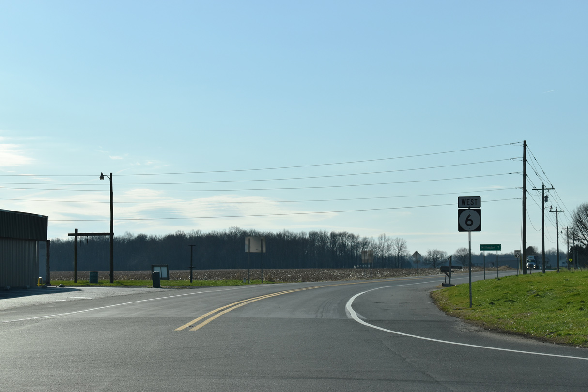
| Millington Road leads SR 6 west 3.15 miles from SR 42 (Blackiston Road) to the Maryland state line. 12/28/20 |
|
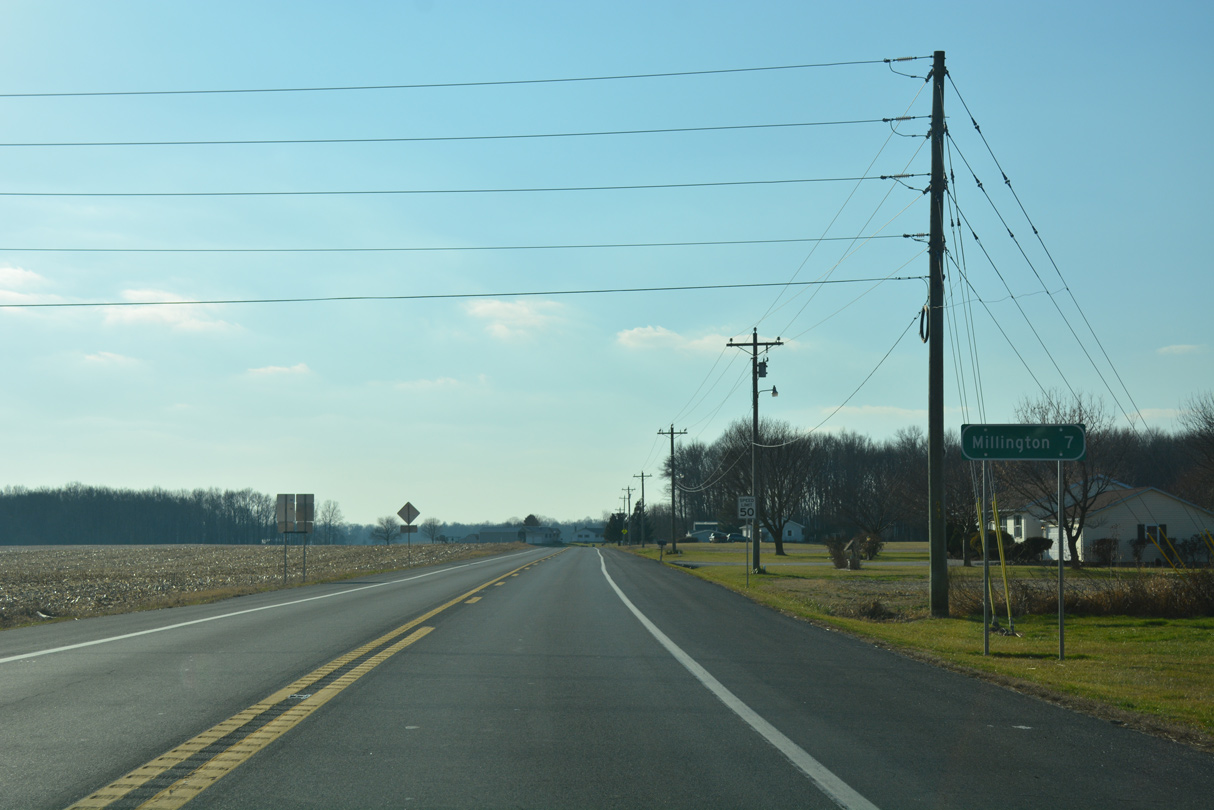
| The town of Millington is located seven miles west of Blackiston at the crossroads of MD 291 and MD 313. 12/28/16 |
|
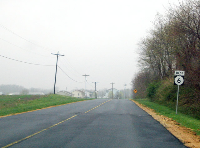
| A number of homes line both sides of SR 6 (Millington Road) west from Daisey Road north. 04/13/04 |
|
| Blackiston Church Road ventures north from Underwoods Church Road and a tract of Blackiston Wildlife Area to end at SR 6 just ahead of this shield assembly. 04/13/04 |
|
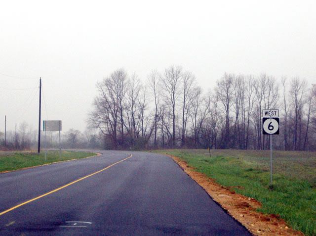
| The last shield for SR 6 west stands beyond Holletts Corner Road at Blackiston State Wildlife Area. 04/13/04 |
|
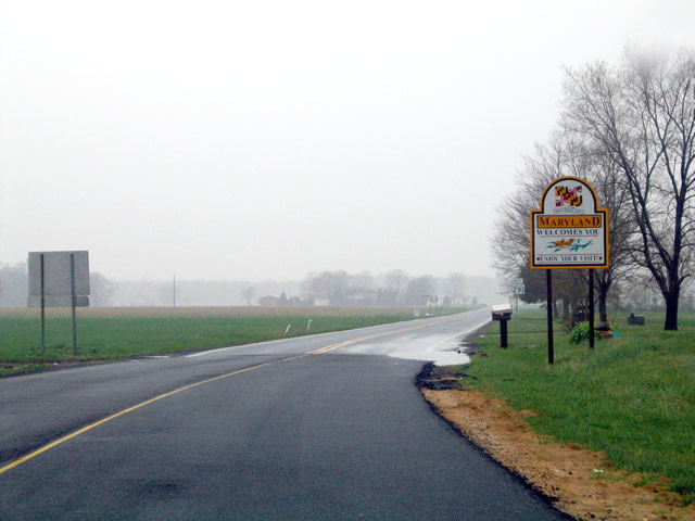
| SR 6 (Millington Road) west transitions into MD 291 (Cypress Road) west at the southeastern corner of Kent County. MD 291 advances west 4.5 miles to Millington and six miles to U.S. 301 (Blue Star Memorial Highway). 04/13/04 |
Page Updated 02-28-2021.


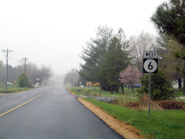
 West
West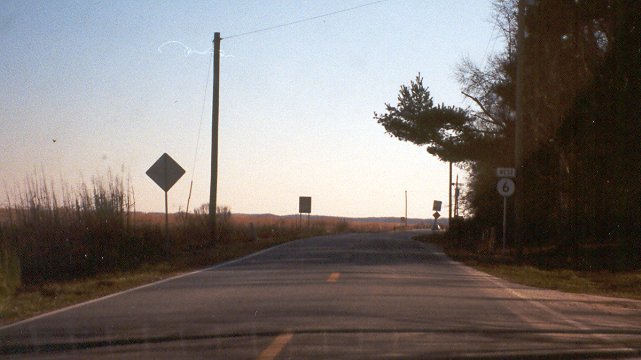
 West
West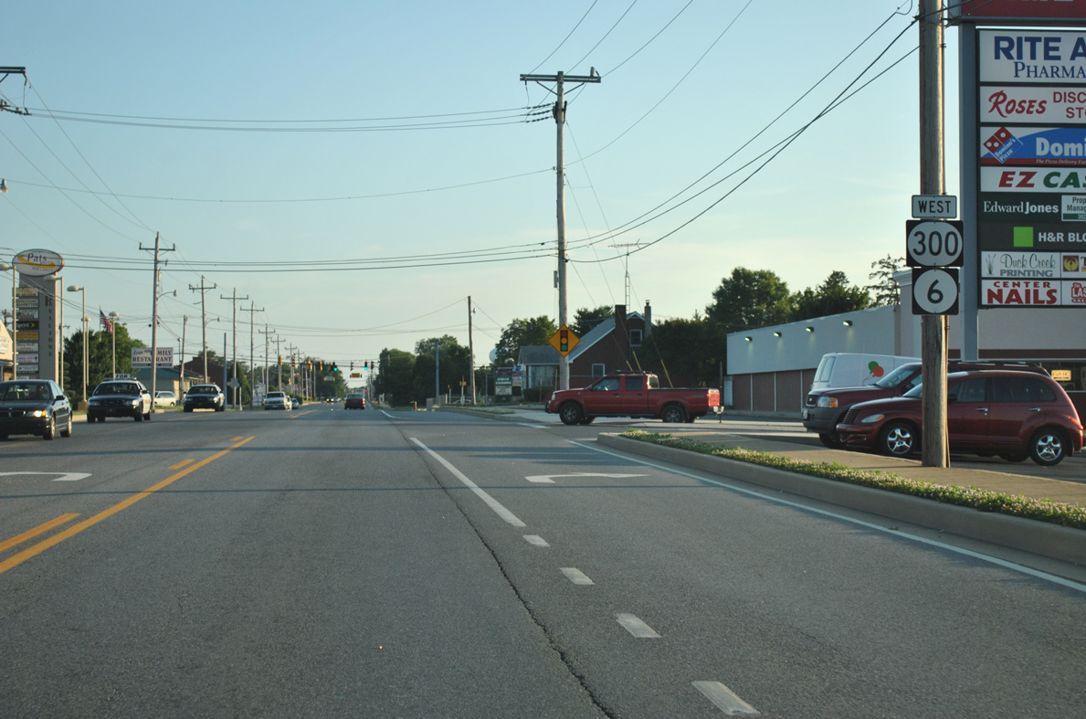
 South
South