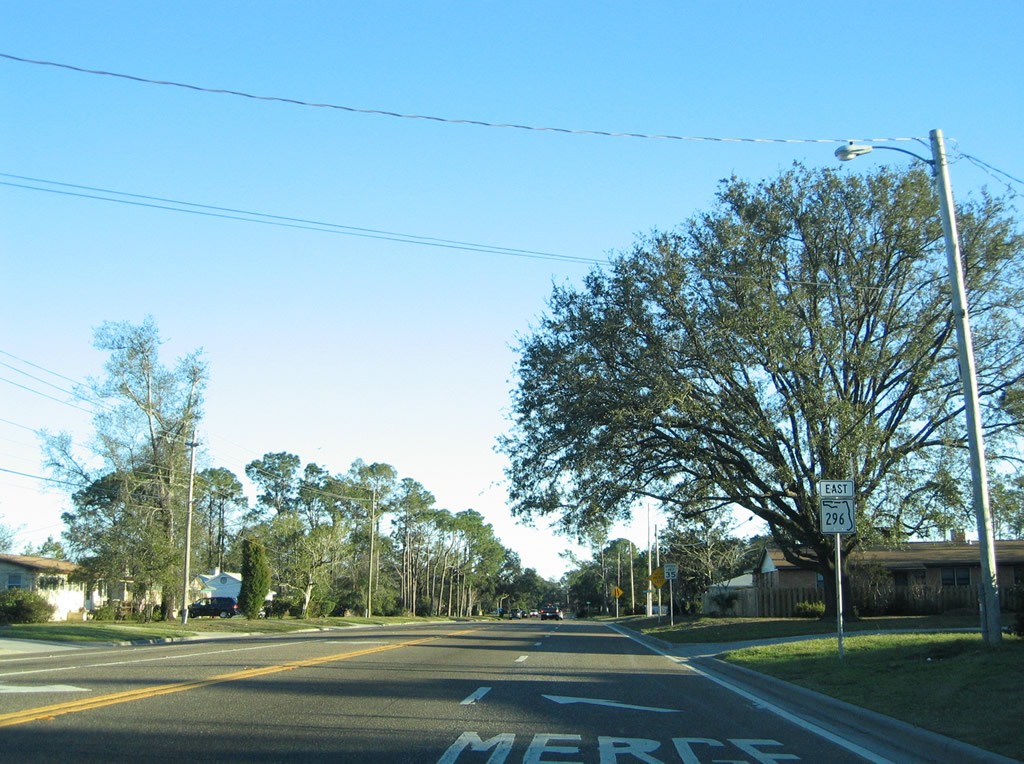
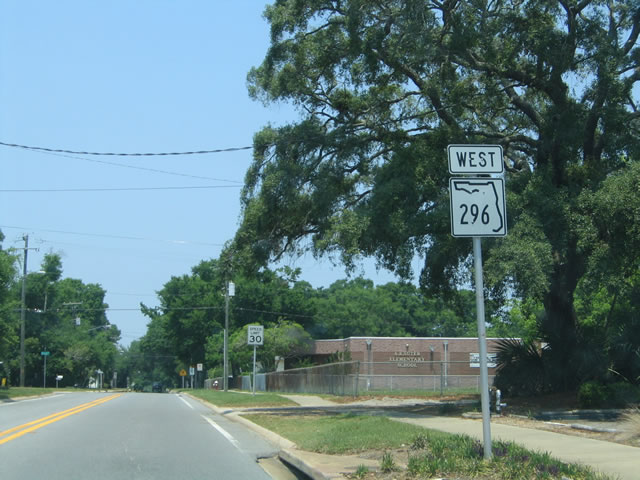
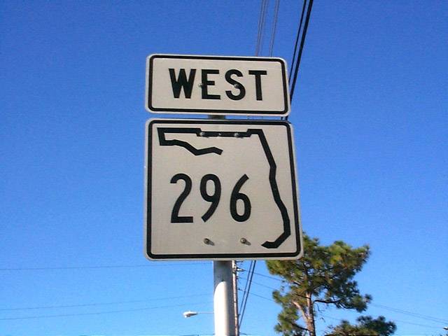
Another circuitous state highway serving Pensacola, Florida State Road 296 forms an arc from Bellview to Bayou Texar in the city. SR 296 takes on multiple names from the western end at U.S. 90 (Mobile Highway) to the east end at Cerventes Street in the city. The route initially follows Michigan Avenue east from CR 296 (Saufley Field Road) to Beverly Parkway, Brent Lane, Bayou Boulevard and Petty Street. The route varies from a five lane arterial to a two-lane residential through road. CR 296 to Saufley Field was originally a part of the state route. All of SR 296 was initially numbered as State Road 298A.
|
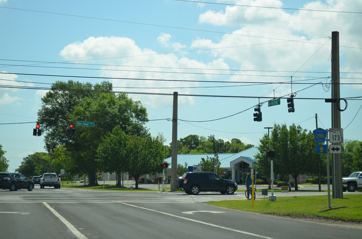
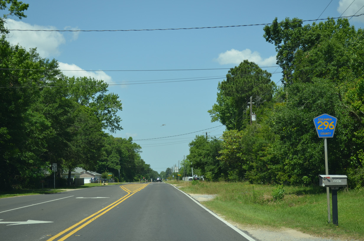
| Escambia County Road 296 (Saufley Field Road) travels 0.72 miles east from the gate to Saufley Field to SR 173 (Blue Angel Parkway). 05/17/14 |
|
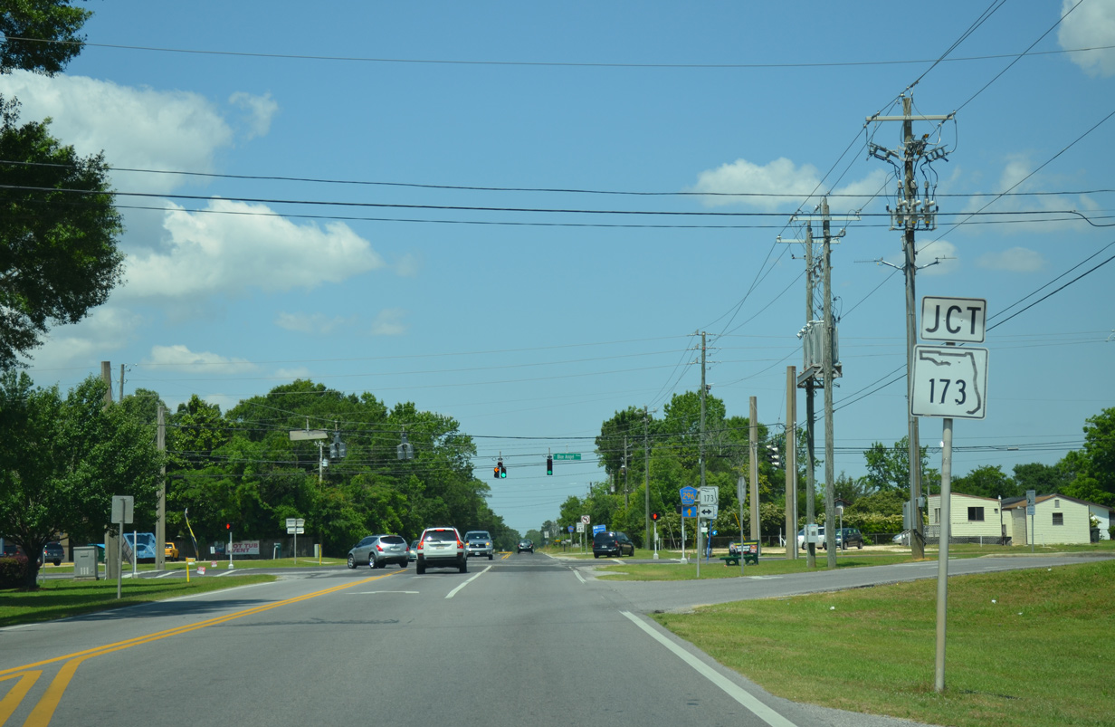
| SR 173 travels north to SR 297 (Pine Forest Road) at Bellview and south to the West Gate of Pensacola N.A.S. along a 11.93 mile course. 05/17/14 |
|
| Reassurance marker for CR-296 posted along Saufley Field Road after Blue Angel Parkway. Saufley Field Road carries two lanes with a center turn lane to U.S. 90. 05/17/14 |
|
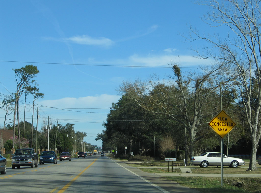
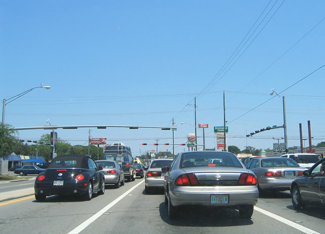
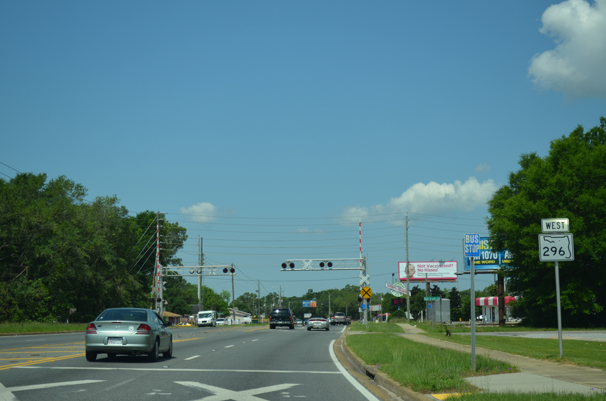
| The forthcoming traffic light with Muldoon Road is a source of congestion for travelers along Saufley Field Road. 02/01/06 |
|
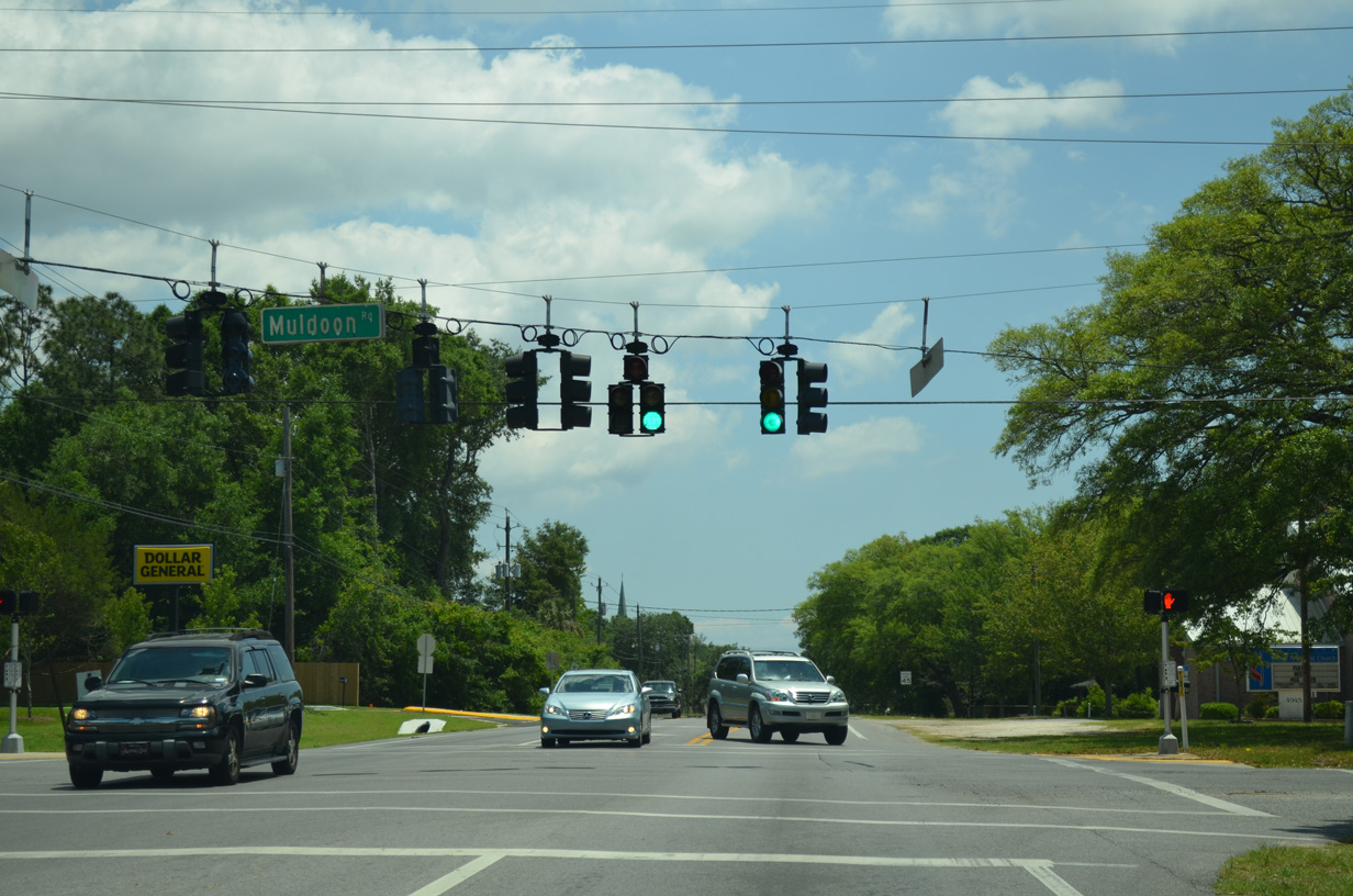
| Muldoon Road is a residential through road leading south from Bellview Road to CR-296, Cerny Road (unsigned County Road 296A) and SR 173 (Blue Angel Parkway). 05/17/14 |
|
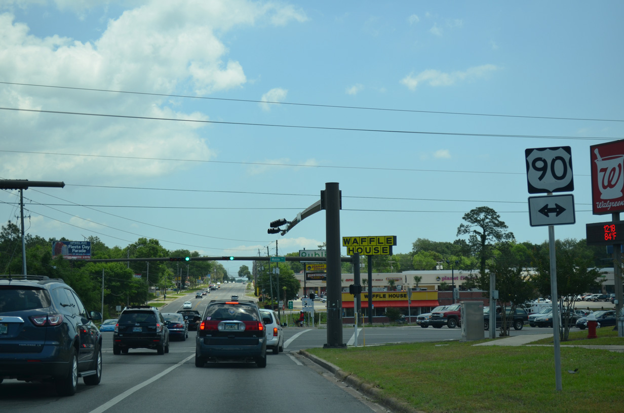
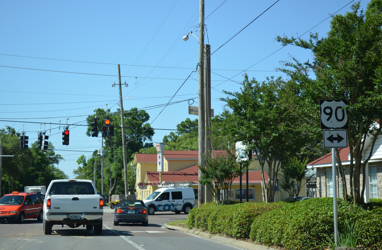
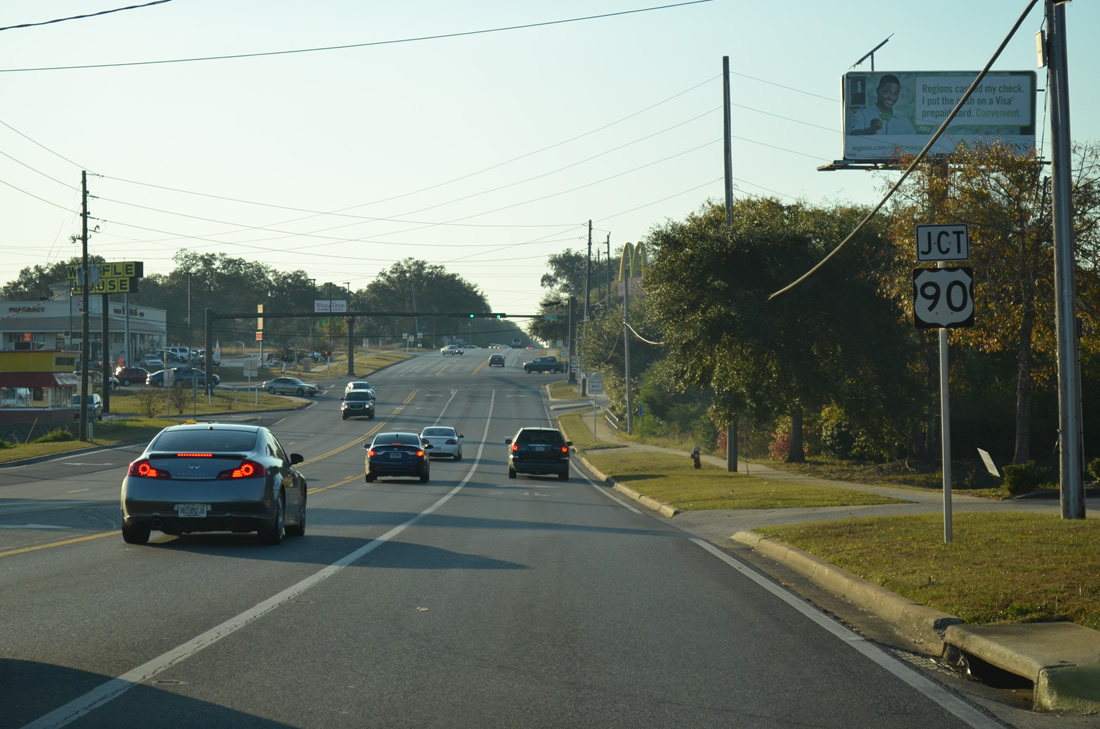
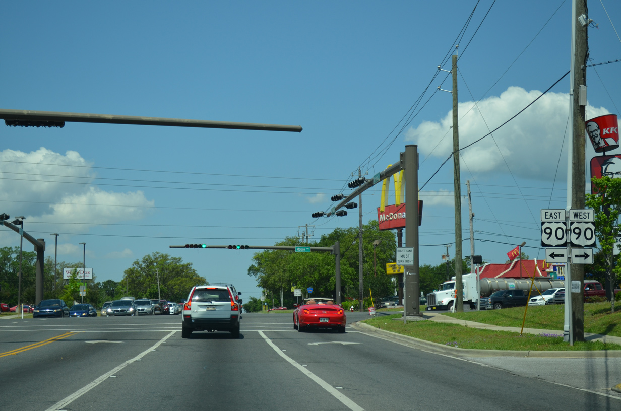
| Escambia County Road 296 (Saufley Field Road) east U.S. 90 (Mobile Highway) and SR 296 (Michigan Avenue) east. U.S. 90 angles southeast from CR-296 to Brownsville and Cerventes Street through the city of Pensacola. 05/17/14 |
|
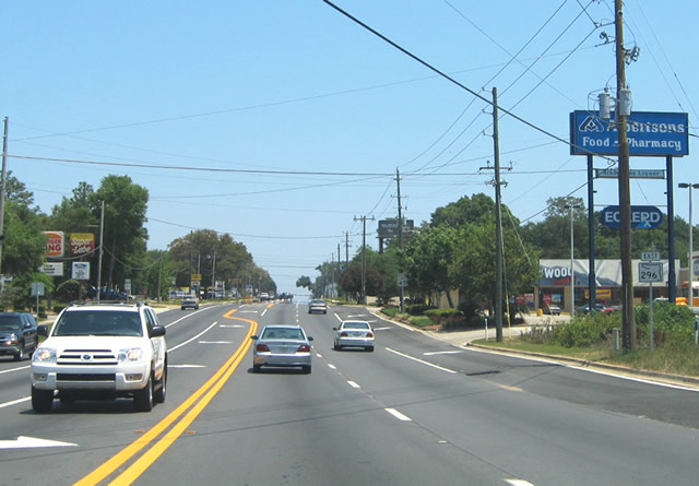
| The first eastbound shield of SR 296 posted on Michigan Avenue as it leaves U.S. 90 & Escambia County Road 296. Michigan Avenue comprises a heavily traveled surface arterial 2.5 miles east from Mobile Highway to Beverly Parkway. 05/07/04 |
|
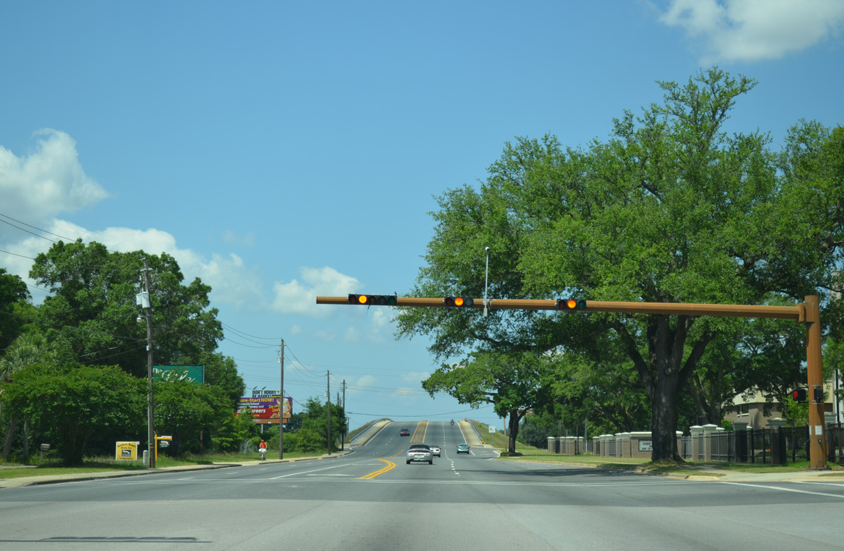
| Beverly Parkway takes over SR 296 from Michigan Avenue as the state road kinks to the south from just west of the Burlington Northern Railroad tracks to U.S. 29 (Palafox Street). An extremely congested intersection in the community of Brent, SR 296 changes names again to Brent Lane as it crosses Palafox Street. 05/07/04 |
|
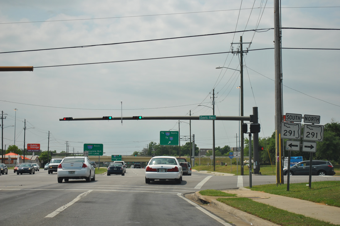
| One half mile east of U.S. 29 (Palafox Street) at the entrance to Pensacola Christian College in Brent. SR 296 approaches a diamond interchange with Interstate 110 ahead. Widening of I-110 between 2002-08 included an expansion of Brent Lane to six lanes from Rawson Lane to SR 291 (Davis Highway). This included a new median between the college entrance and next traffic light. 05/08/04 |
|
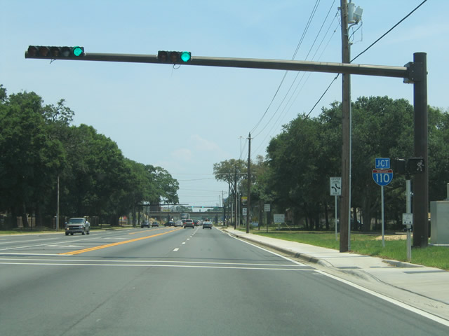
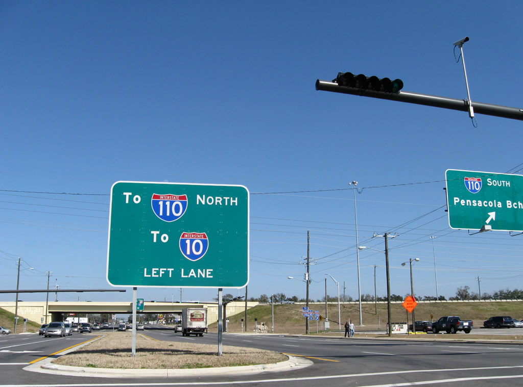
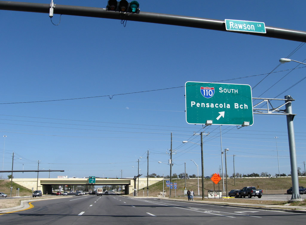
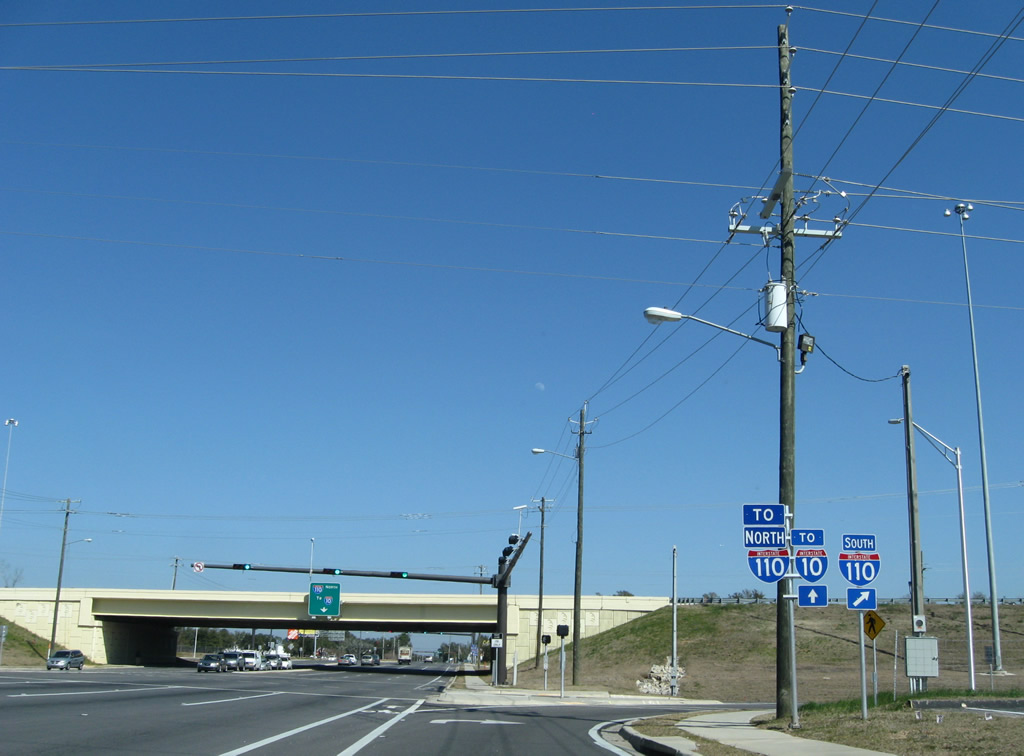
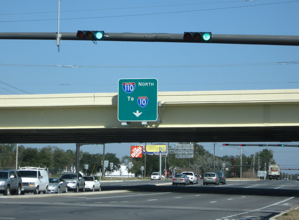
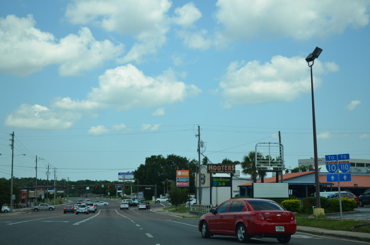
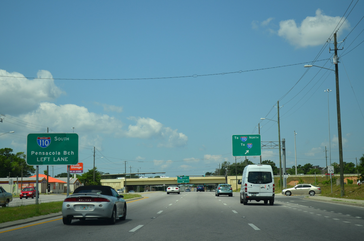
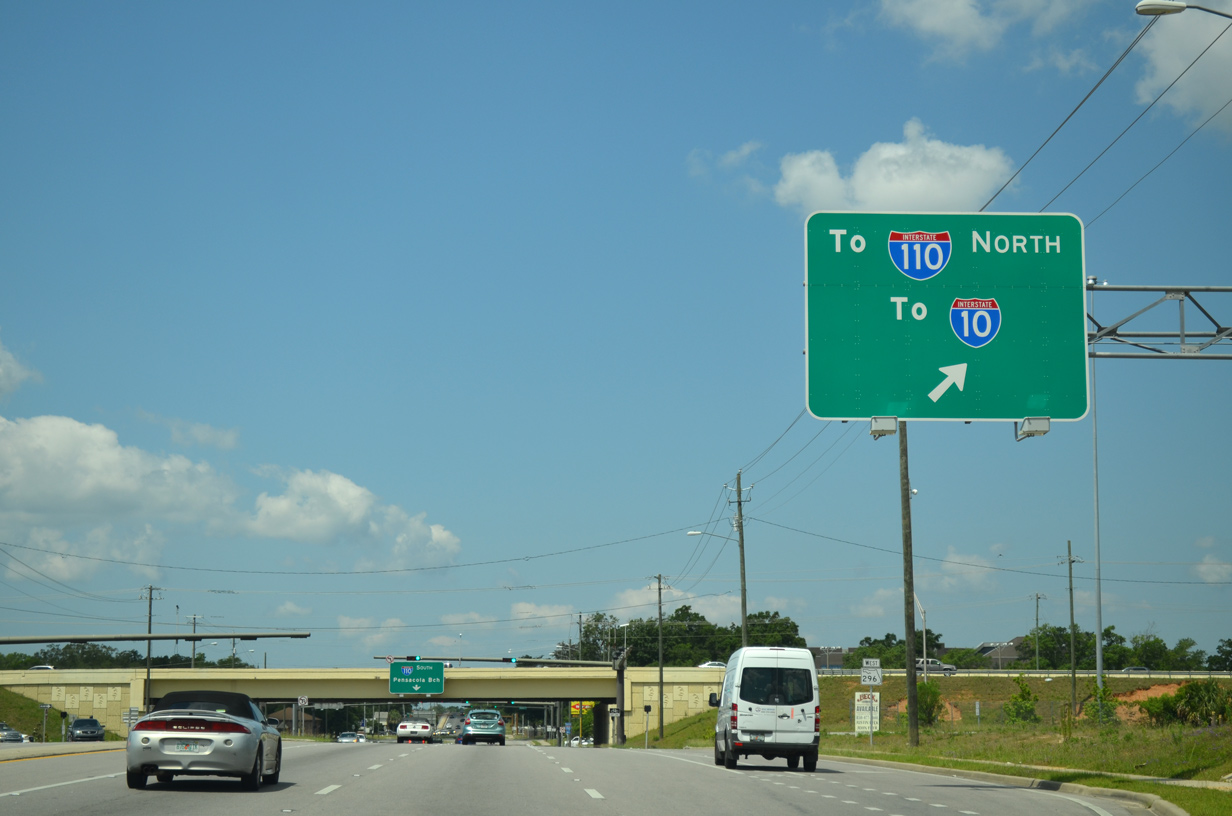
| Rawson Lane intersects SR 296 just west of the southbound on-ramp to Interstate 110. The local road passes through the Pensacola Christian College campus to Airport Boulevard (SR 750) to the north while spurring into I-110 West Industrial Park to the south. A sign placed within the median prepares motorists for the left turn onto Interstate 110 north to Interstate 10. 02/23/10 |
|
| Interstate 110 south travels 1.3 miles to Exit 4 (SR 295) and 2.5 miles to the Maxwell and Jordan Street off-ramp. The freeway directly links with U.S. 98 (Chase Street) east ahead of the Three Mile Bridge to Gulf Breeze. 02/23/10 |
|
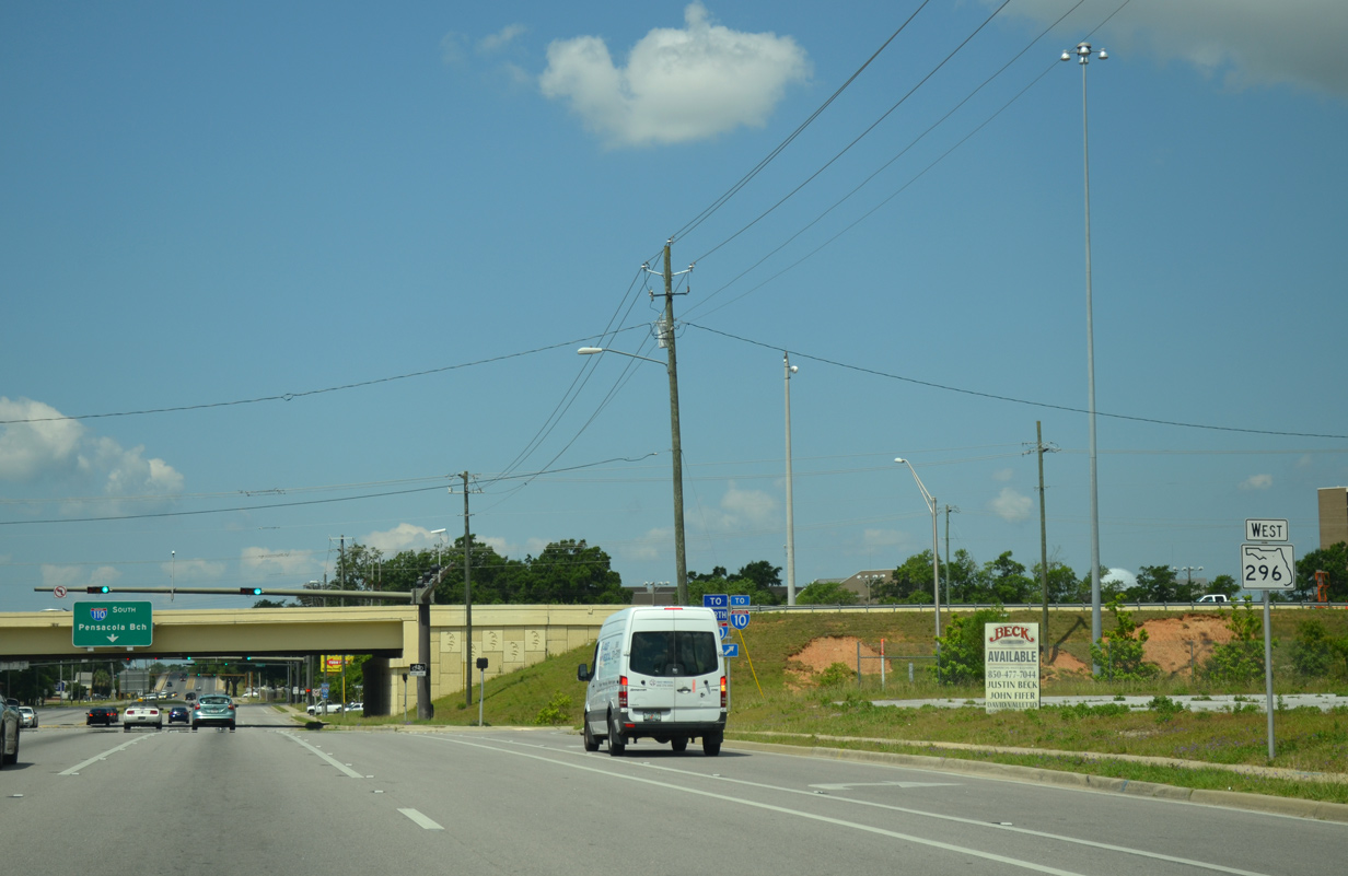
| Drivers turning onto Interstate 110 north form a distributor roadway for both the freeway to I-10 and the adjacent Airport Boulevard off-ramp. The Airport Boulevard interchange opened in 2009 as the final element of I-110 widening. 02/23/10 |
|
| A historical look at SR 296 intersection with the Interstate 110 northbound ramps. The single turn lane often stacked up with traffic, adding to congestion along Brent Lane through the interchange. 05/08/04 |
|
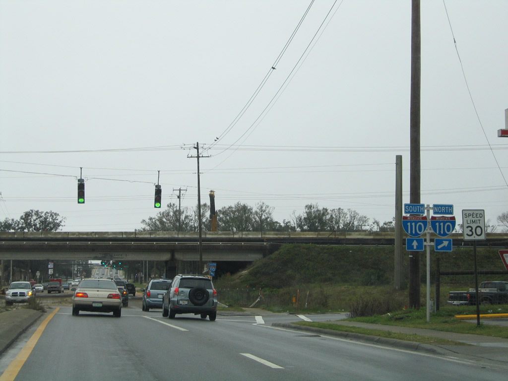
| Two turn lanes now provide the movement for Interstate 110 north from Brent Lane east. Interstate 110 ends two miles northward at Interstate 10, midway between its interchanges with U.S. 29 and SR 291. The freeway opened here in 1969. 04/09/09 |
|
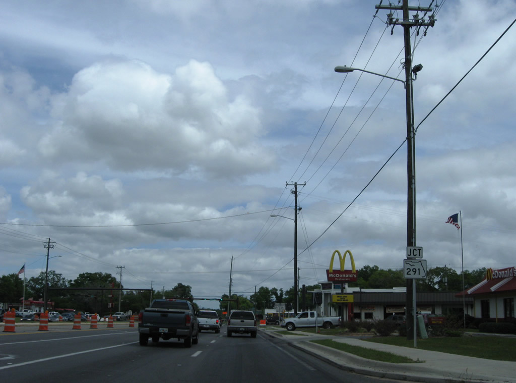
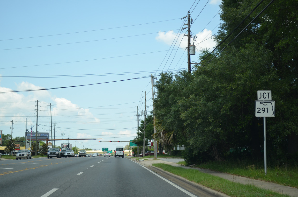
| SR 296 immediately meets SR 291 (Davis Highway) east of Interstate 110. 04/09/09 |
|
| SR 291 parallels I-110 closely from Brent Lane southward into Pensacola. Northward, the busy arterial branches away from the freeway to Ferry Pass and the University of West Florida area. 04/09/09 |
|
| Brent Lane reduces from a six lane boulevard into a five lane arterial from Davis Highway east to Cordova Mall and 12th Avenue. 05/17/14 |
|
| SR 296 formally enters the Pensacola city limits at Lynell Street west of Carpenter Creek. 05/17/14 |
|
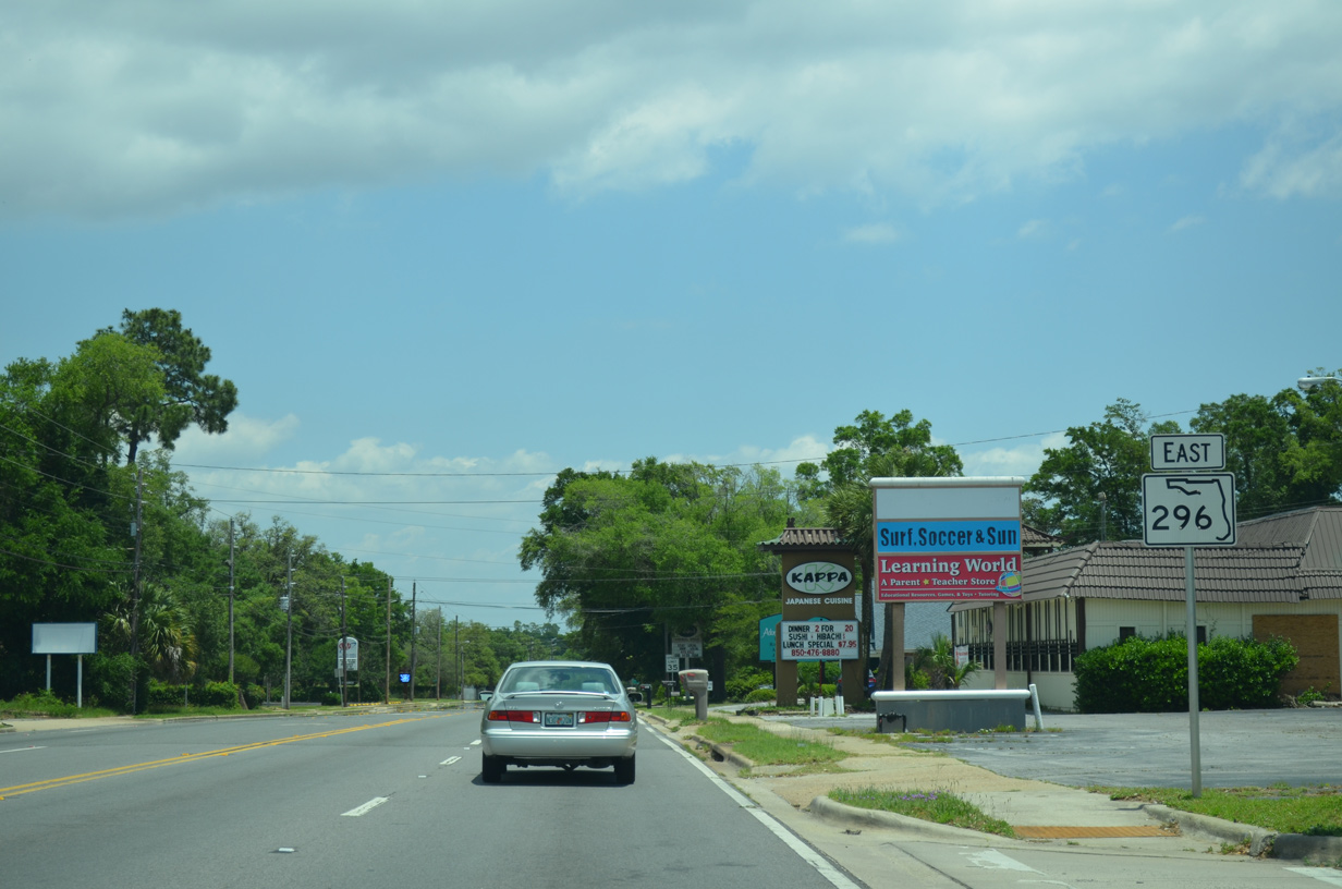
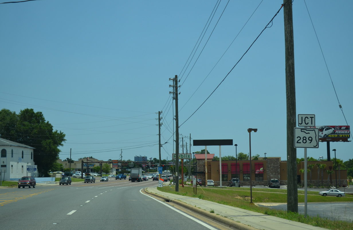
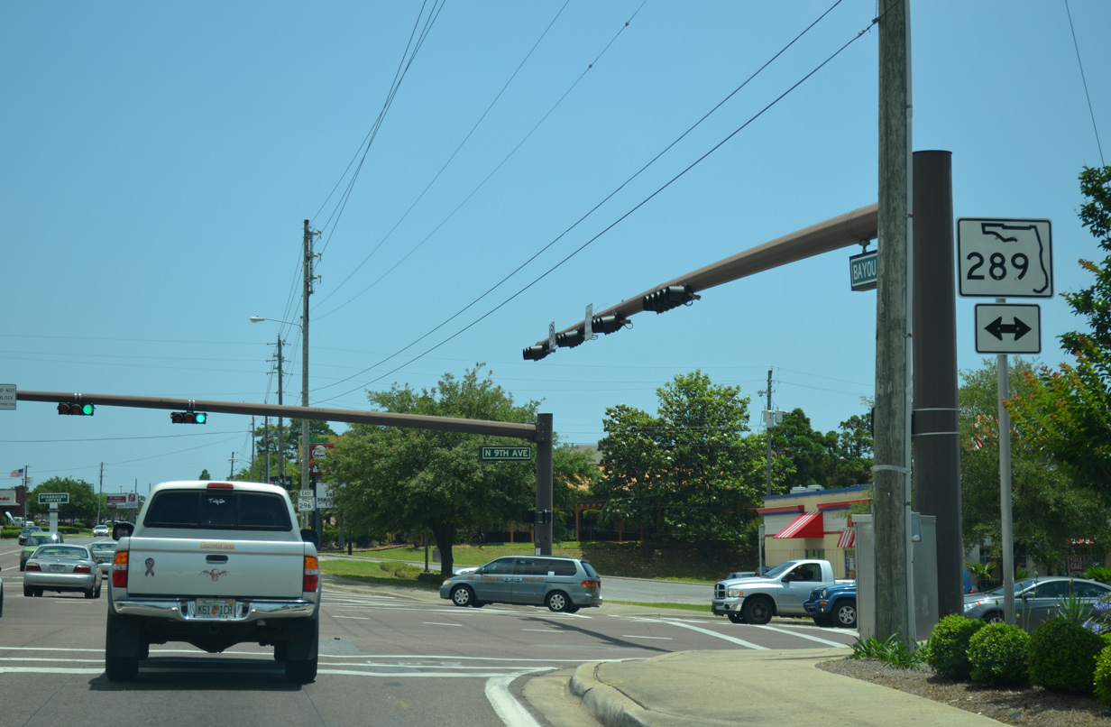
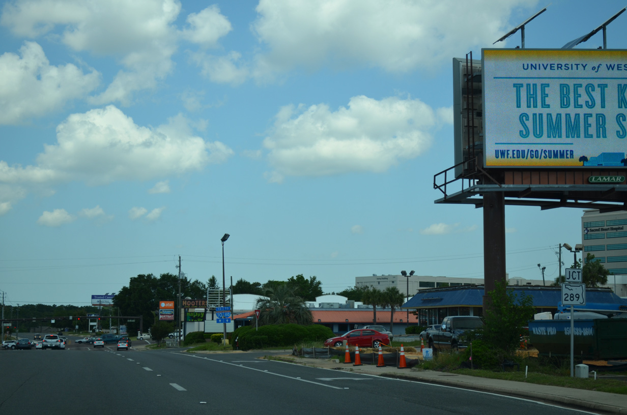
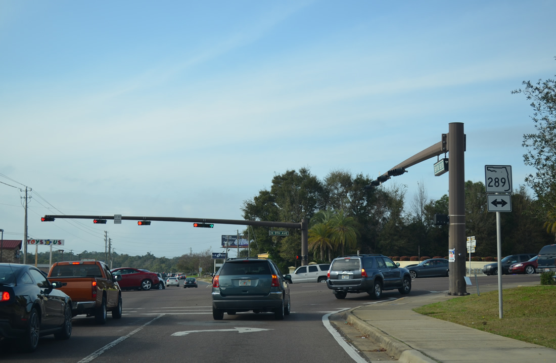
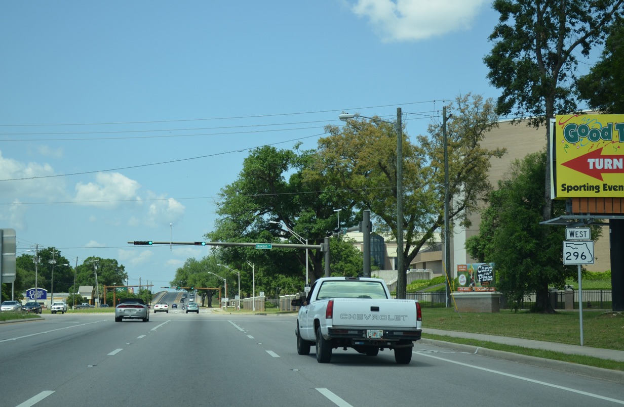
| SR 296 rises from Carpenter Creek to intersect a shopping center and medical park entrance, where a signal was added in 2010. Beyond that light is Ninth Avenue (SR 289). 05/17/14 |
|
| SR 289 follows all of 9th Avenue through Pensacola between U.S. 98 (Chase Street) and Olive Road (CR 290). 05/17/14 |
|
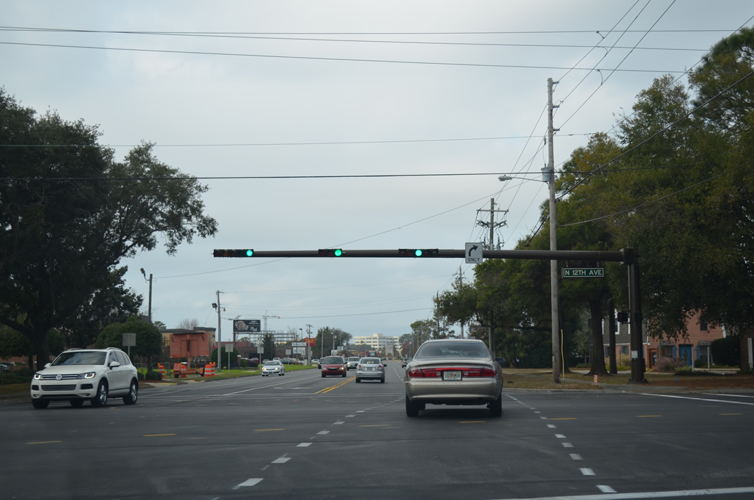
| Bayou Boulevard carries SR 296 southward from Ninth Avenue (SR 289) to Perry Street and U.S. 90 (Cerventes Street). Beyond 12th Avenue, the state road transitions into a two lane residential through route as it mirrors Bayou Texar to the east. 01/31/06 |
|
| Bayou Boulevard splits from SR 296 east to remain along Bayou Texar to a boat ramp. Perry Avenue doubles as the final half mile of SR 296. 05/17/14 |
|
| SR 296 (Perry Street) eastbound faces southward at the conclusion with U.S. 90 (Cerventes Street). 05/17/14 |
|
| U.S. 90 expands to four lanes from east to west, crossing Bayou Texar two blocks west of SR 296. Perry Avenue extends another four blocks south to Bay Boulevard by Emanuel Point. 05/16/14 |
|
| What was the first westbound shield of SR 296 was posted on the block of Perry Avenue between U.S. 90 (Cerventes Street) and Strong Street. The shield was missing by 2009 and has not been replaced. 05/09/04 |
|
| Bayou Boulevard overtakes Perry Avenue as the route for SR 296 northward. The boulevard reaches 12th Avenue in 2.9 miles and SR 289 in 3.6 miles. 12/15/12 |
|
| SR 296 (Bayou Boulevard) west at 12th Avenue. 12th Avenue travels northeast to nearby Summit Boulevard and SR 750 (Airport Boulevard) at Pensacola International Airport (PNS). Southwest, 12th Avenue crosses Bayou Texar / Carpenter Creek to Fairfield Drive, just east of the SR 295 beginning. 12/15/12 |
|
| Westbound reassurance shield for SR 296 posted on Bayou Boulevard after 12th Avenue. SR 296 transitions from a two lane roadway into a five lane arterial after 12th Avenue. 11/27/99, 05/17/14 |
|
| A myriad of retail lines both sides of SR 296 (Bayou Boulevard) between 12th Avenue and the crossing of Carpenter Creek (west of 9th Avenue). Included is the entrance to Cordova Mall, which resides east of SR 289 and south of SR 750. 02/02/06 |
|
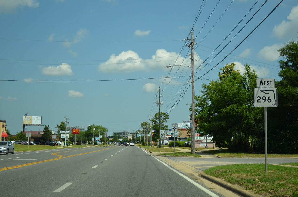
| Approaching the busy intersection with SR 289 (Ninth Avenue) on SR 296 (Bayou Boulevard) west. 05/17/14 |
|
| Trailblazers for Interstates 10 and 110 direct motorists westward along SR 296 to a diamond interchange with the Pensacola freeway spur. Before the Airport Boulevard interchange opened, traffic from Pensacola International Airport (PNS) to I-110 was directed onto SR 296 west. 05/17/14 |
|
| SR 289 comprises a busy arterial route northeast from Bayou Boulevard to Cordova Mall, Pensacola State College and Olive Road (former SR 290). Southward the state road carries four lanes to U.S. 90 and 98 (Cerventes Street) through the Pensacola street grid. 12/15/12 |
|
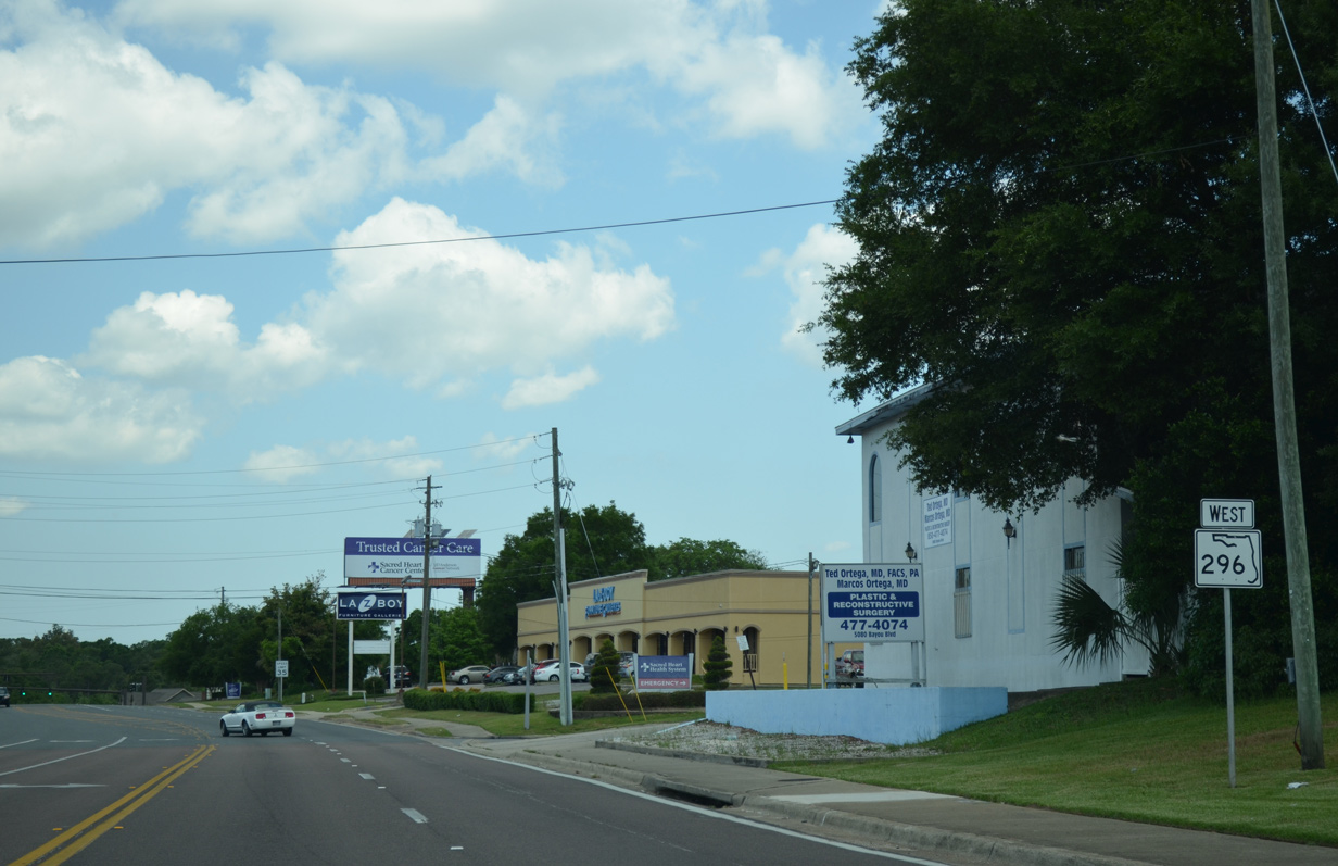
| Continuing west along SR 296 (Bayou Boulevard) by Sacred Heart Hospital. 05/17/14 |
|
| A traffic light added by 2010 serves additional retail and the Sacred Heart Hospital medical campus. An extension of College Parkway south will tie into this intersection. 05/17/14 |
|
| West of Carpenter Creek, SR 296 changes names from Bayou Boulevard to Brent Lane. The landscape of SR 296 remains the same with five lanes and small businesses along the frontage. SR 291 (Davis Highway) crosses paths with the state road next at a busy traffic light. 05/17/14 |
|
| SR 291 is the main commercial route for northeast Pensacola. Lined with several shopping centers and fast food franchises, Davis Highway varies between four and six lanes between SR 295 and West Florida Regional Medical Center north of Olive Road (former SR 290). SR 291 ends to the south at U.S. 98 by the Pensacola Civic Center and at U.S. 90 Alternate near the University of West Florida campus. 04/11/12 |
|
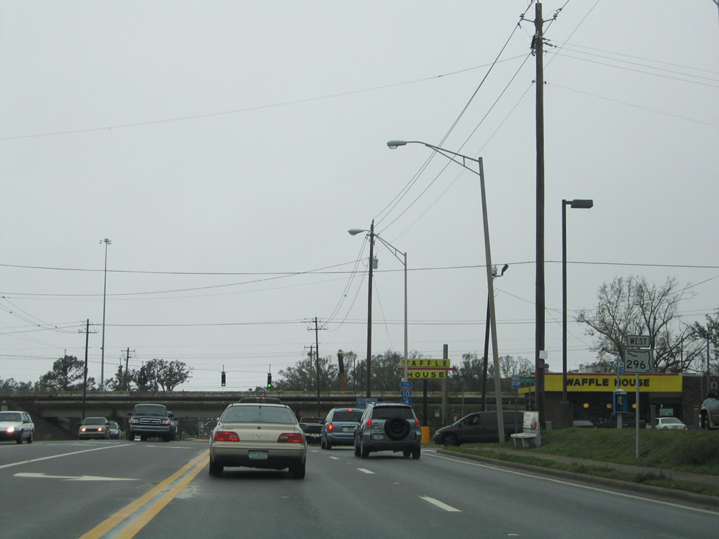
| A look at SR 296 between Davis Highway and Interstate 110 before widening was underway along Brent Lane. A Racetrac gas station and Waffle House restaurant were demolished due to six-laning of SR 296 here. 02/02/06 |
|
| Expansion of Interstate 110 between 2002 and 2008 included a widening of Brent Lane to six lanes to go along with interchange improvements. Two turn lanes now facilitate the movements onto I-110 south to Downtown. 05/17/14 |
|
| Traffic joining Interstate 110 first merges with a distributor roadway ahead of Airport Boulevard. The freeway concludes at I-10 in two miles otherwise. 05/17/14 |
|
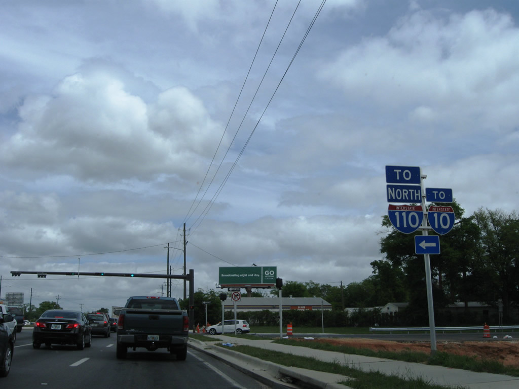
| A reassurance marker for SR 296 appears just ahead of the northbound ramp to I-110. 05/17/14 |
|
| The original configuration of the diamond interchange between SR 296 and I-110 included no right turn lane and a single left turn lane for the freeway. This often led to congestion during peak hours of traffic. 02/02/06 |
|
| Pensacola Beach is the southbound control point of Interstate 110 due to the close proximity to the Pensacola city limits. 05/17/14 |
|
| Brent Lane continues with six lanes from Interstate 110 to the intersection with Rawson lane. SR 296 passes by Pensacola Christian College ahead of an overpass above a CSX Railroad line. 05/17/14 |
|
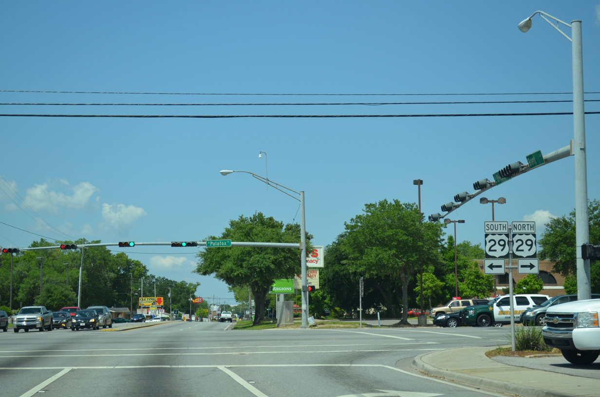
| Entering the busy intersection with U.S. 29 (Palafox Street) along SR 296 (Brent Lane) west. U.S. 29 begins in Pensacola and travels north along Palafox Street to meet SR 296 just south of its transition into Pensacola Boulevard. Palafox Street follows CR-95A north into Ensley parallel to U.S. 29, as the US route travels by a number of car dealerships to Interstate 10. 05/17/14 |
|
| SR 296 changes from Brent Lane east of U.S. 29 to Beverly Parkway west of Palafox Street. 05/17/14 |
|
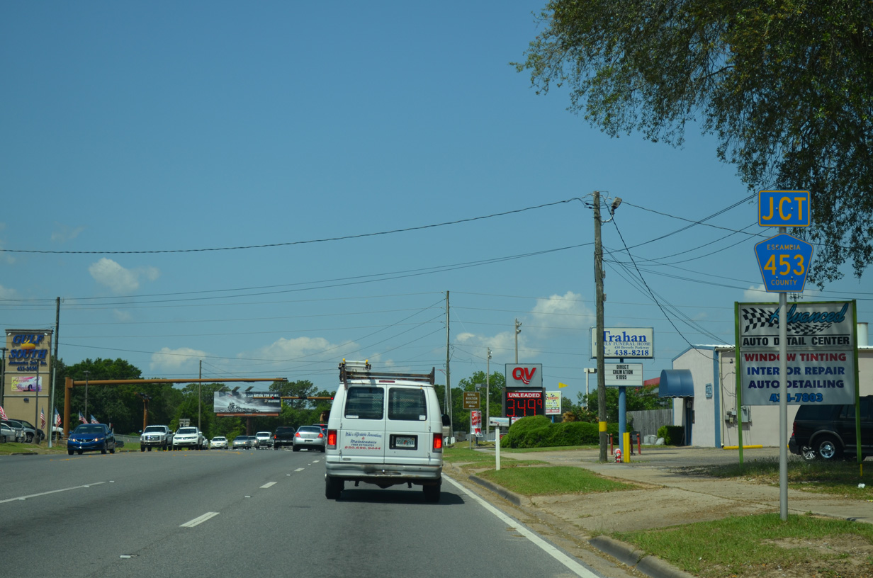
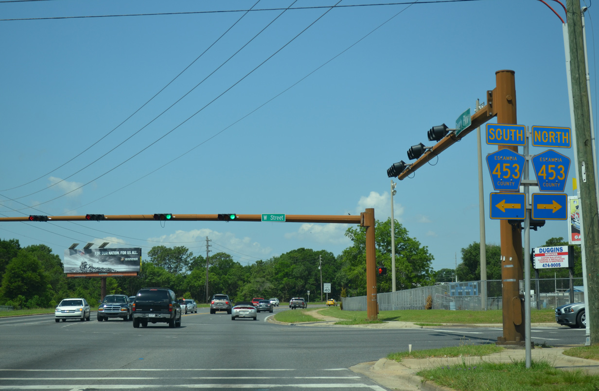
| Beverly Parkway and Escambia County Road 453 (W Street) come together seven blocks west of U.S. 29 in Brent. W Street carries four overall lanes as a through route north to U.S. 29 (Pensacola Boulevard) and south to U.S. 98 (Navy Boulevard) in Pensacola. 05/17/14 |
|
| County Road 453 joins SR 296 and Brent with the Brownsville community south of SR 295 (Fairfield Drive). 05/17/14 |
|
| Beverly Parkway crosses a set of Burlington Northern Railroad tracks ahead of the transition to Michigan Avenue. SR 296 follows Michigan west from Pipeline Road to U.S. 90 (Mobile Highway). 05/17/14 |
|
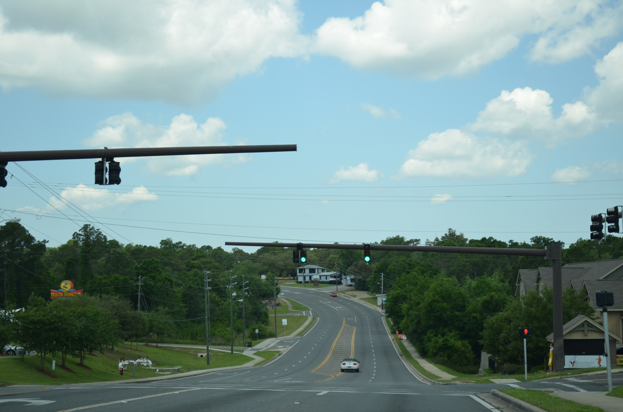
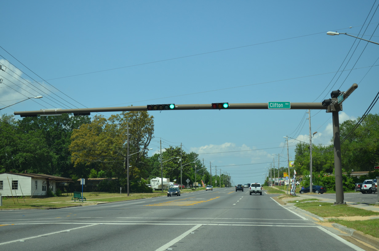
| A traffic light added to SR 296 serves the Wildewood neighborhood south of Michigan Avenue via Clifton Avenue. 05/17/14 |
|
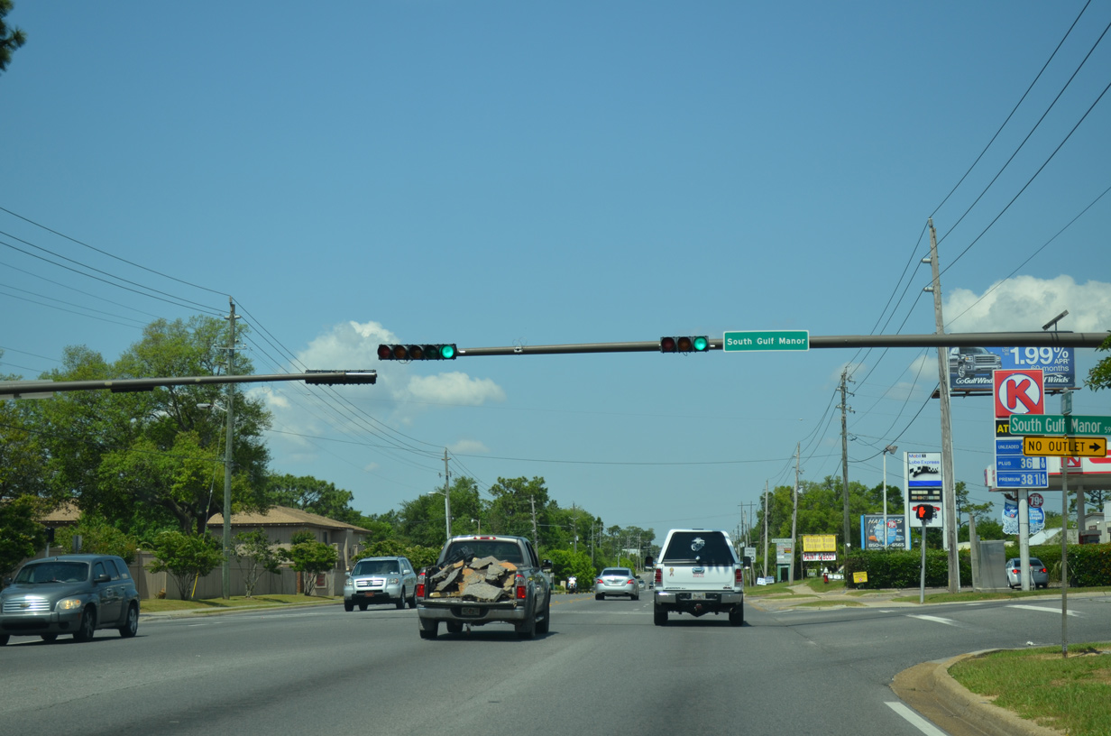
| Michigan Avenue remains a busy commuter route by another traffic light with a residential side street, South Gulf Manor. 05/17/14 |
|
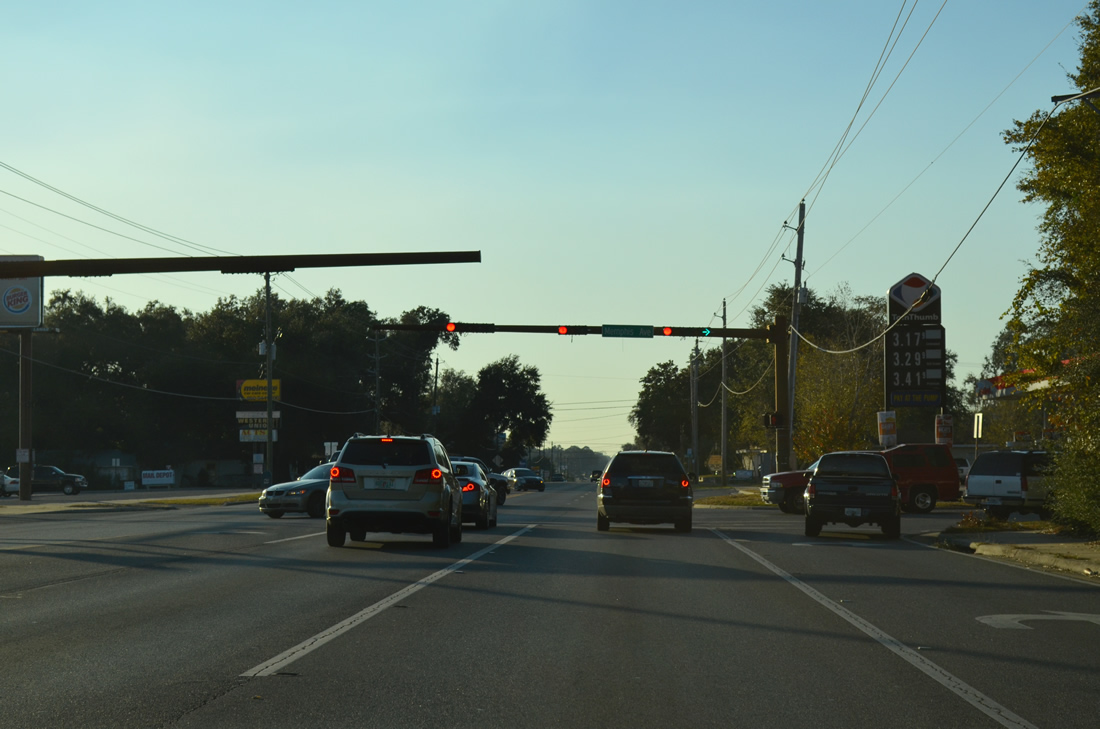
| Memphis Avenue sees a traffic light with SR 296 (Michigan Avenue) in the residential street grid of Bellview. Memphis Avenue is one of several north-south streets named after American cities. 11/17/12 |
|
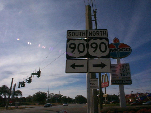
| U.S. 90 (Mobile Highway), the route from where SR 296 began in Pensacola, ends the state road at Bellview ahead. 11/17/12 |
|
| Erroneous north/south shields for U.S. 90 appeared at the west end of SR 296 for a brief time in 2000. 12/03/00 |
|
| SR 296 transitions into County Road 296 and Saufley Field Road beyond Mobile Highway. U.S. 90 continues west from Bellview to Beulah and Seminole, Alabama. 05/17/14 |
|
| A marker for County Road 296 immediately faces westbound motorists after U.S. 90. The county road stretches 2.18 miles along Saufley Field Road to the gate of Saufley Field. 05/17/14 |
|
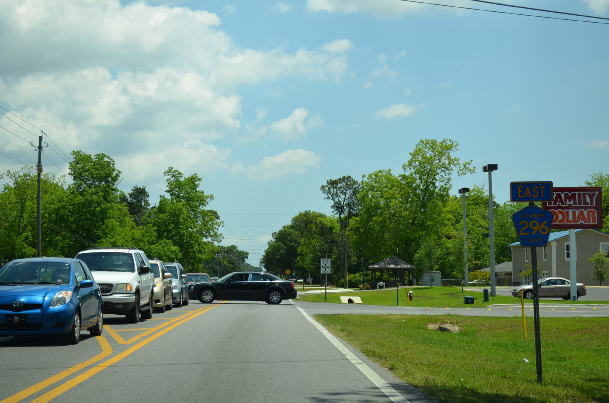
| Muldoon Road intersects Saufley Field Road at a traffic light 0.8 miles west of Mobile Highway. The road connects CR-296 with Cerny Heights and other adjacent neighborhoods. 05/17/14 |
|
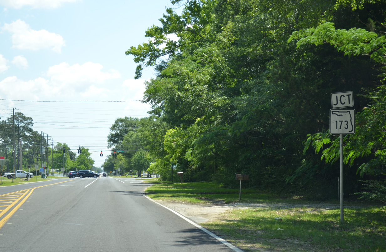
| Approaching SR 173 (Blue Angel Parkway) along County Road 296 (Saufley Field Road) west. 05/17/14 |
|
| SR 173 travels north from CR-296 to U.S. 90 and an end at SR 297 (Pine Forest Road) in Bellview. Southward the state highway continues by Myrtle Grove, SR 292 west for Perdido Key, and the West Gate to Pensacola Naval Air Station. 05/17/14 |
|
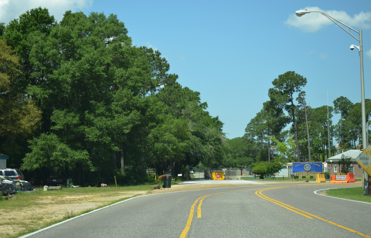
| The final 0.72 miles of County Road 296 link SR 173 with the Naval Education Training Professional Development Technology Center at Saufley Field. 05/17/14 |
|
| County Road 296 ends at the gate to Saufley Field. 05/17/14 |
Photo Credits:11/27/99, 12/03/00, 05/07/04, 05/08/04, 05/09/04, 01/31/06, 02/01/06, 02/02/06, 04/09/09, 02/23/10, 04/11/12, 11/17/12, 12/15/12, 05/16/14, 05/17/14 by AARoads
Connect with:
Interstate 110
U.S. 29
U.S. 90
State Road 173 - Blue Angel Parkway
State Road 289 - Ninth Avenue
State Road 291
Page Updated 11-19-2014.