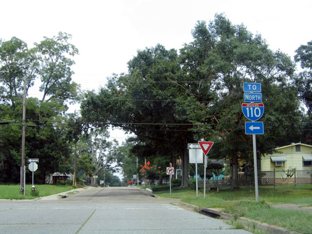
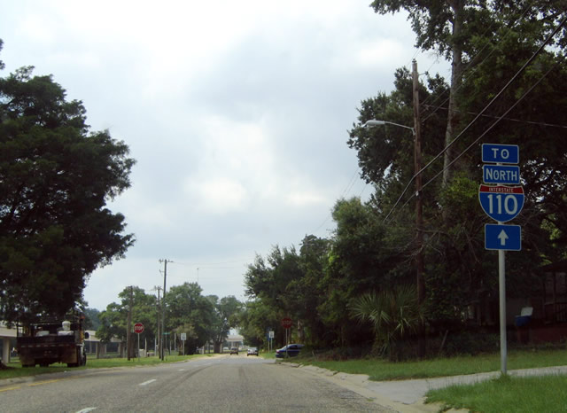
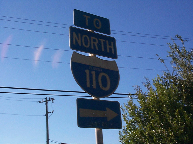
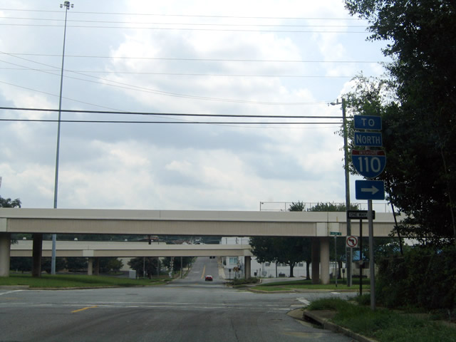
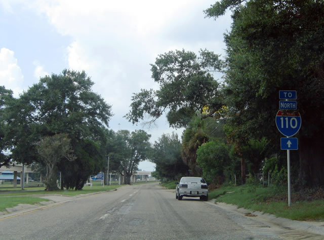
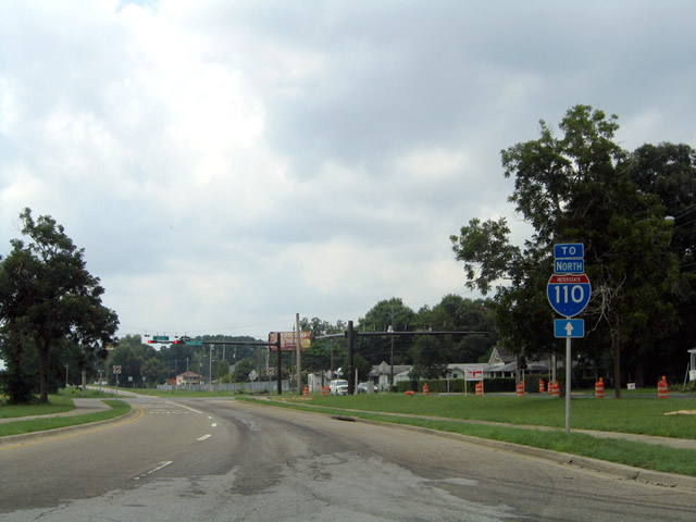
Interstate 110 constitutes a 6.39 mile spur from I-10 south to Downtown Pensacola. The freeway provides connections to U.S. 98 across Pensacola Bay to Gulf Breeze and the Emerald Coast. Interstate 110 varies between a set of two-lane viaducts to the south and a six-lane freeway to the north.
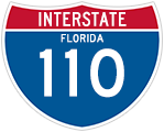
Interstate 110 Florida Guides
As exit numbers are only one off from the freeway mileposts, I-110 was the only Interstate in Florida omitted from state wide exit renumbering in 2002. Construction between 2003 and 2009 upgraded the freeway in two separate projects. The northern project rebuilt the trumpet interchange with Interstate 10 to include new flyovers, better connecting I-110 with State Road 291 (Davis Highway) to the east. This work coincided with six lane expansion along Interstate 10 between U.S. 29 (Exit 10) and SR 291 (Exit 13).
Work along Interstate 110 between I-10 and the viaducts at Maxwell and Jordan Streets rebuilt the freeway to six overall lanes. The exchange at Exit 4 (SR 295) was redesigned from a diamond to a parclo interchange, and the ramps at Exit 5 were extended northward, forming a split diamond interchange linking SR 296 (Brent Lane) and SR 750 (Airport Boulevard).
State Road 8A
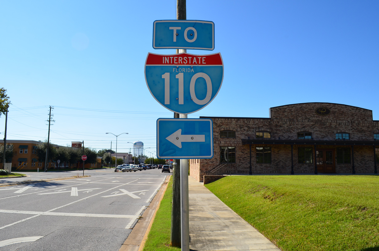
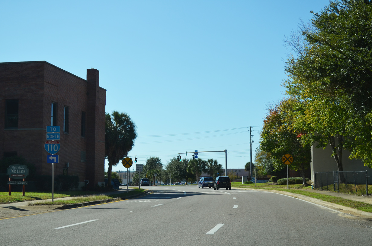
Measuring 6.341 miles in length, SR 8A is the hidden state road designation for Interstate 110.
|
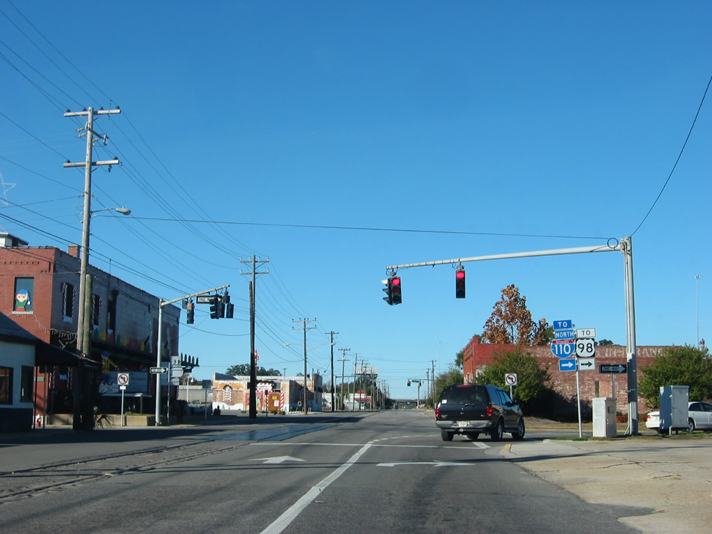
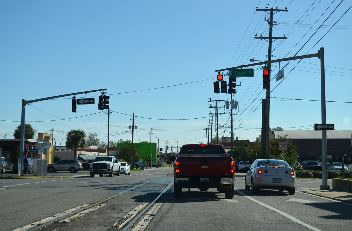
| Chase Street flows east through Pensacola as a collector linking with Interstate 110 north. 11/19/15 |
|
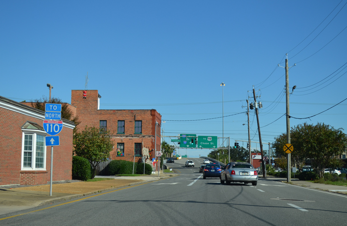
| Tarragona Street north at Chase Street outside Downtown Pensacola. CSX Railroad tracks line Tarragona Street northward from the Palafox Pier. 12/20/03 |
|
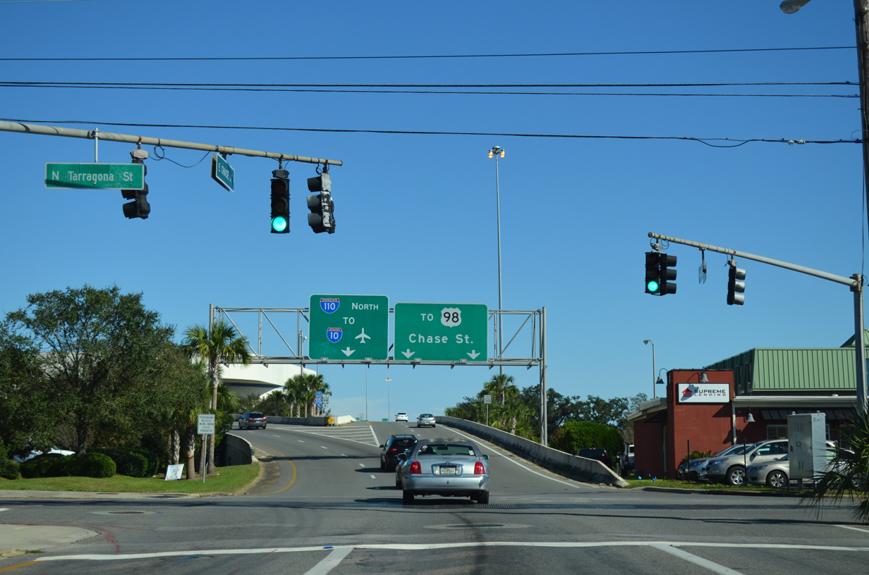
| Tarragona Street south at Chase Street adjacent to the two-wye interchange with I-110. 11/19/15 |
|
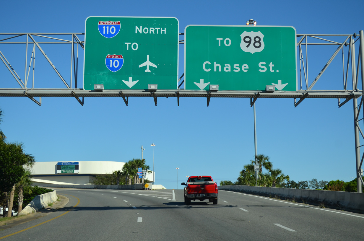
| Chase Street rises over Alcaniz Street (U.S. 98 Business) ahead of a flyover ramp to Interstate 110 north and the Pensacola Bay Center. 11/19/15 |
|
| Chase Street continues east from Interstate 110 as part of U.S. 98 to the Pensacola Bay Bridge at Bayfront Parkway. 11/19/15 |
|
| Hayne Street links Cerventes Street (U.S. 90/98) with Interstate 110 north at this entrance ramp. 05/27/13 |
|
| Lee Street east at Hayne Street northbound. Hayne Street lines the east side of the I-110 viaduct from Wright Street to the Maxwell Street entrance ramp. 07/17/04 |
|
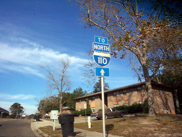
| I-110 trailblazer posted along Hayne Street northbound between Lee and Blount Streets. 07/17/04 |
|
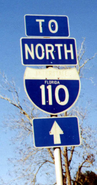
| Blount Street west intersects Hayne Street seven blocks south of the I-110 northbound on-ramp. The state named shield for I-110 on Blount Street was replaced by 2003. 11/27/99, 07/17/04 |
|
| Hayne Street continues alongside Central Park from Blount Street to Avery Street and shifts eastward with the Interstate 110 viaduct. 07/17/04 |
|
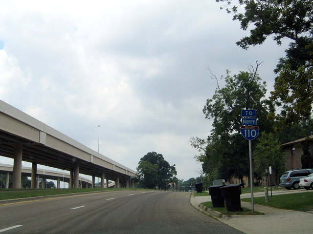
| Hayne Street northbound parallels I-110 closely between Avery Street and Jordan Street. A vintage trailblazer preceded Lakeview Avenue. It was replaced by 2002. 12/03/00, 11/27/99, 07/17/04 |
|
| Hayne Street northbound ahead of Maxwell Street and the entrance ramp for I-110. Several two-digit width trailblazers for I-110 were posted in 2002. 07/17/04 |
|
| Wright Street passes under flyovers at the south end of I-110 west to Tarragona Street, two blocks north of the Chase Street entrance ramp. 11/19/15 |
|
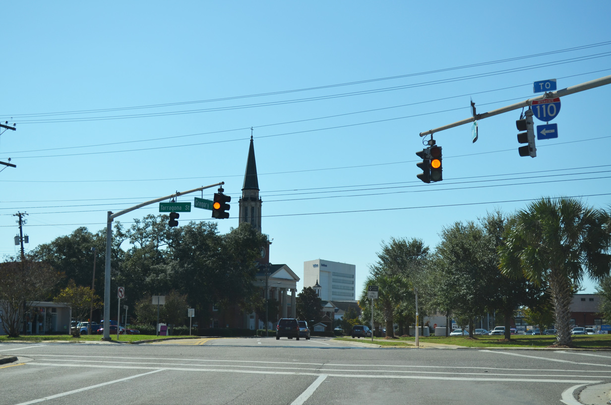
| Gregory Street extends 0.64 miles west from U.S. 98 Business and the south end of SR 291 (Alcaniz Street) as unsigned SR 30 to Palafox Street and Martin Luther King Plaza. 11/19/15 |
|
| Tarragona Street leads south to Gregory Square (unsigned SR 30B) and Chase Street (SR 30) east to Interstate 110 north. 11/19/15 |
Photo Credits:11/27/99, 12/03/00, 12/20/03, 07/17/04, 05/27/13, 11/19/15 by AARoads
Connect with:
Interstate 10
U.S. 90
U.S. 98
U.S. 98 Business Loops
State Road 295
State Road 296
State Road 750 - Airport Boulevard
Page Updated 11-24-2020.