|
| Angling southeast from SR 50 toward Wedgefield, no confirming marker is posted for State Road 520. 05/27/20 |
|
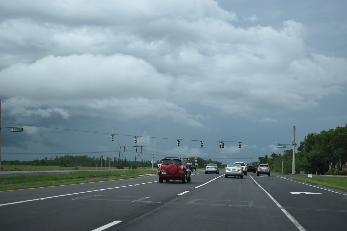
| Maxim Parkway provides the second of two entrances to the Wedgefield community from SR 520 eastbound. 05/27/20 |
|
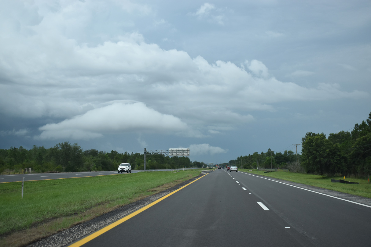
| Continuing from Wedgefield, SR 520 crosses ranch land and wetlands associated with Tootoosahatchee Creek. 05/27/20 |
|
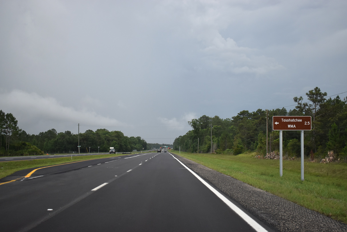
| Taylor Creek Road leads north to Tosohatchee Wildlife Management Area (WMA) and SR 50 at the community of Christmas. 05/27/20 |
|
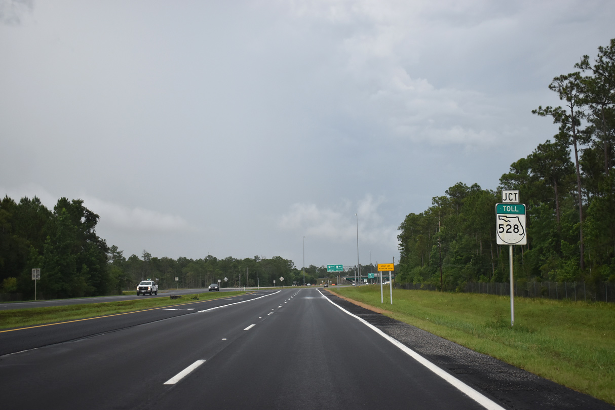
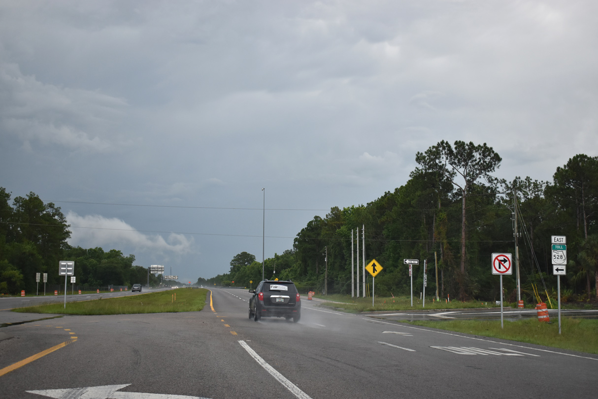
| SR 520 converges with the Beach Line Expressway (SR 528) at a rural diamond interchange. 05/27/20 |
|
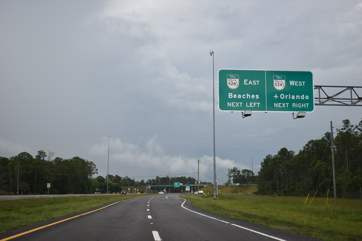
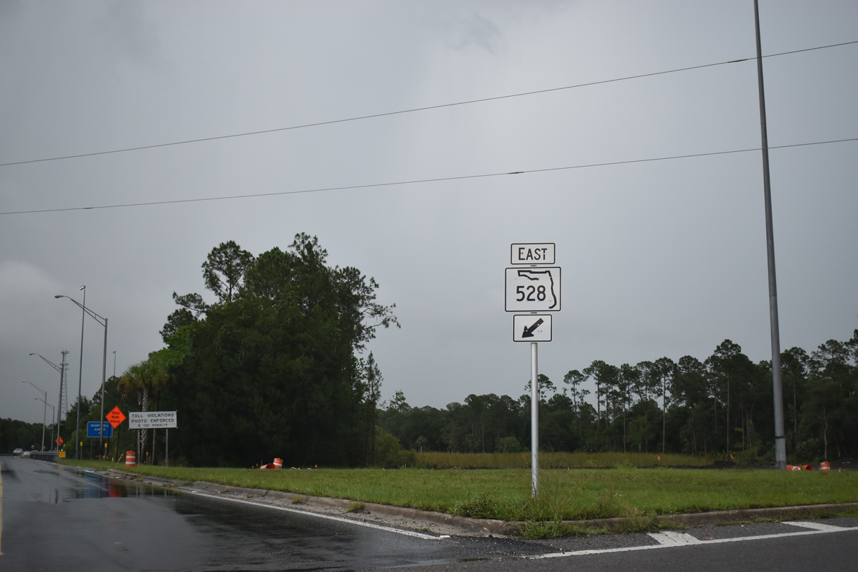
| SR 528 runs due west toward Orlando and Orlando International Airport (MCO). 05/27/20 |
|
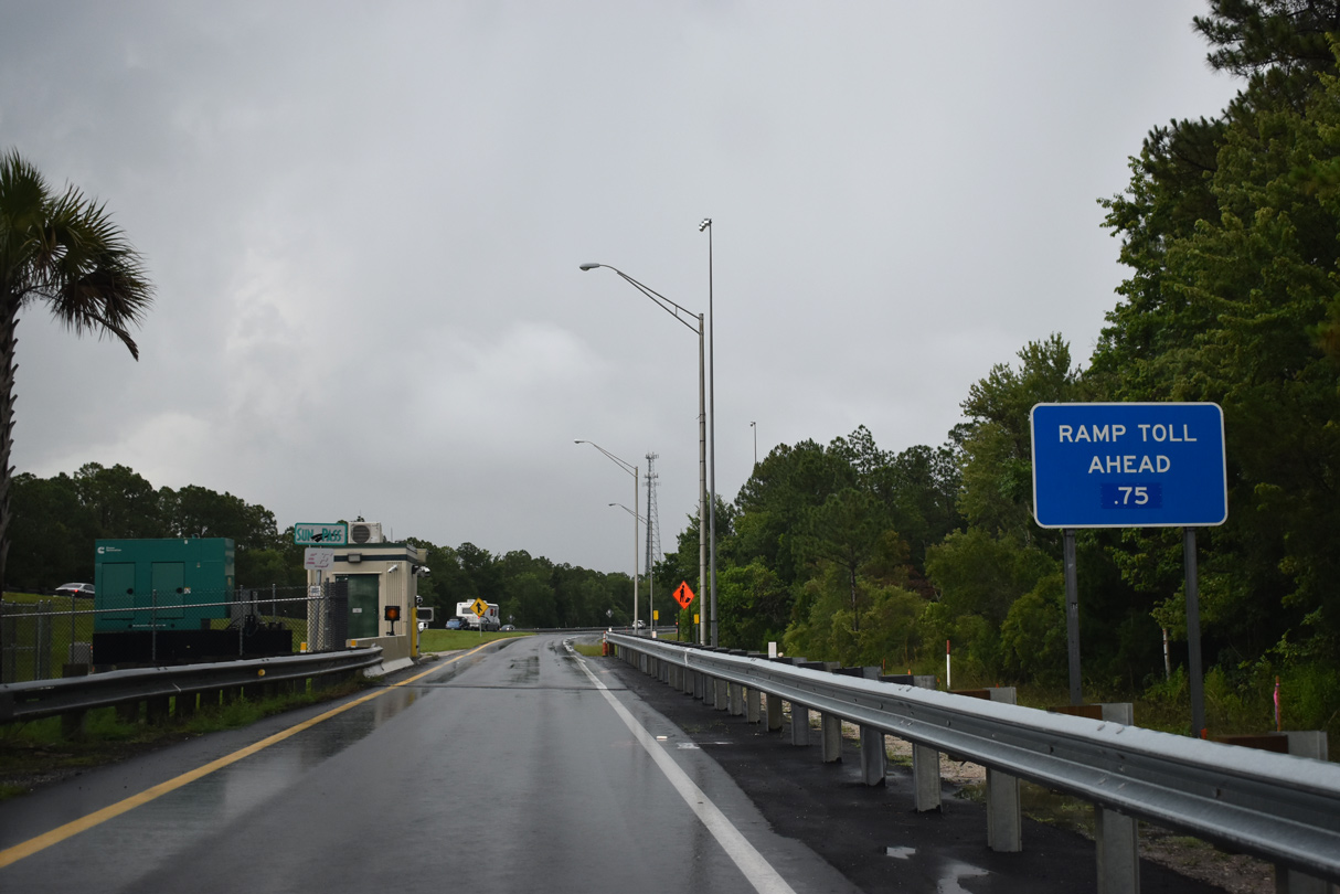
| The westbound entrance ramp joins the Beachline Expressway ahead of the Dallas Main toll Plaza. 05/27/20 |
|
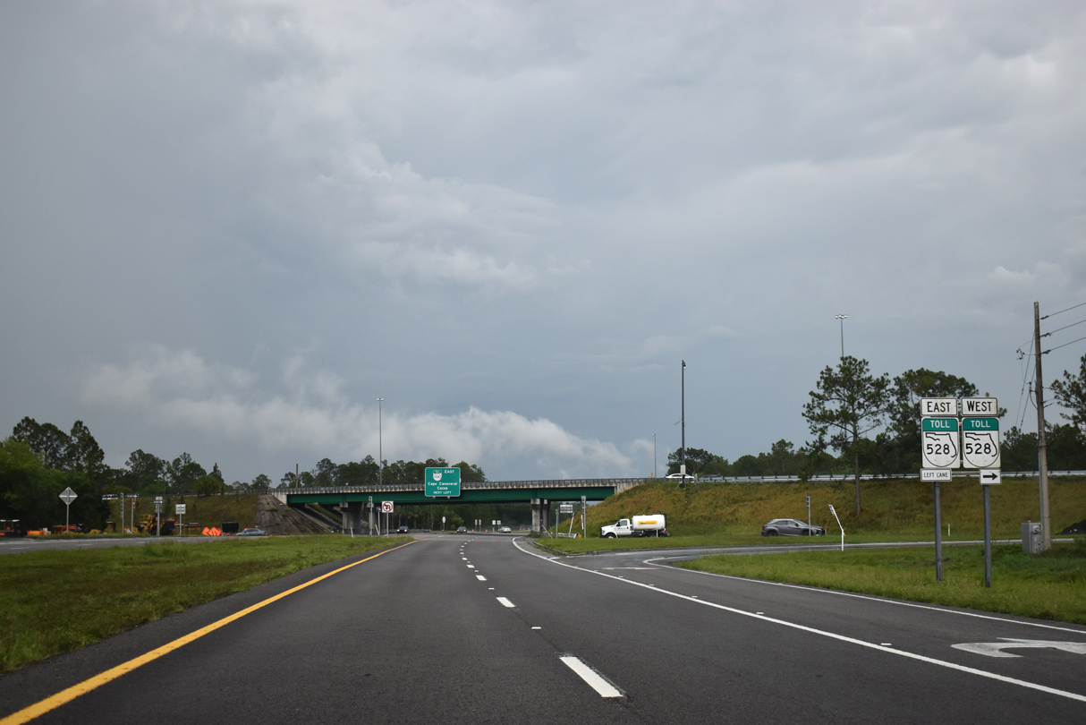
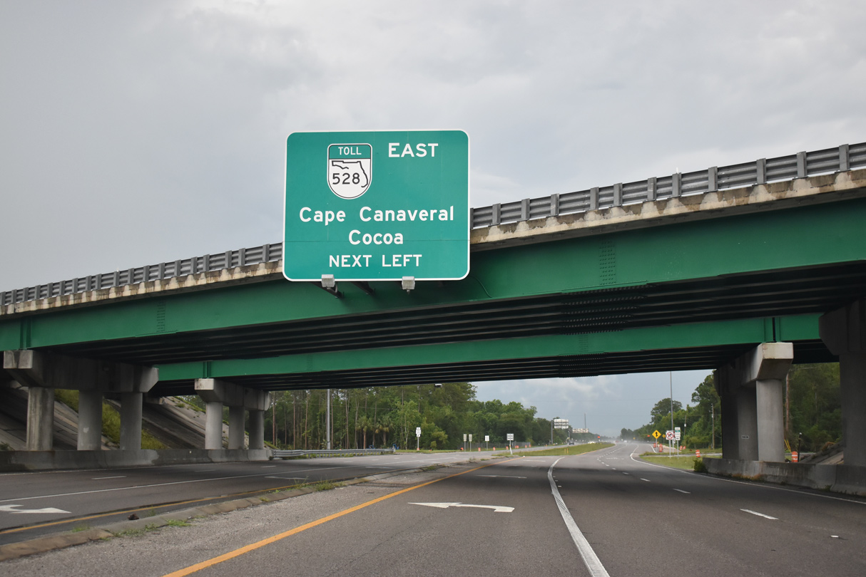
| SR 528 extends east from SR 520 into Brevard County, where it splits with SR 407 north to Titusville. SR 528 crosses the Indian River between Cocoa and Merritt Island. 05/27/20 |
|
| SR 528 concludes 23 miles to the east at the city of Cape Canaveral, where SR A1A (Astronaut Boulevard) meets and George King Boulevard. 05/27/20 |
|
| Although not signed in advance, tolls are collected on the eastbound entrance ramp for SR 528 from SR 520. 05/27/20 |
|
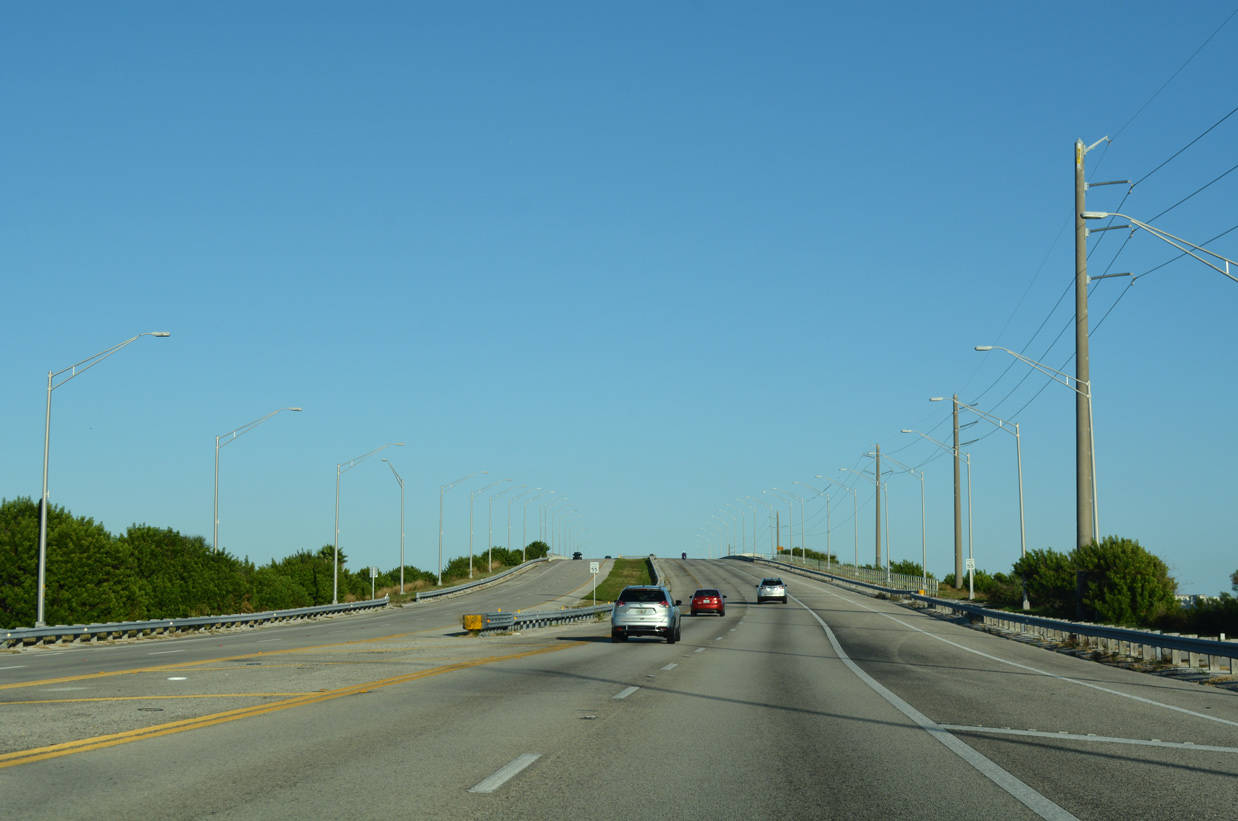
| Leading away from the exchange with SR 528 (Beachline Expressway), SR 520 is unmarked. The four lane highway crosses South Second Creek and James Creek through Desert Ranch over the next several miles. 10/20/18 |
|
| Florida Power & Light (FPL) transmission lines span SR 520 for the first time south of James Creek Road. The corridor crosses SR 520 again by the Poinsett Substation near Nova Road. 10/20/18 |
|
| The eastern branch of County Road 532 (Nova Road) ties into SR 520 at the ensuing intersection. Nova Road leads the rural highway south into Osceola County, where it meets CR 419 (Deer Park Road) south to U.S. 192. 10/20/18 |
|
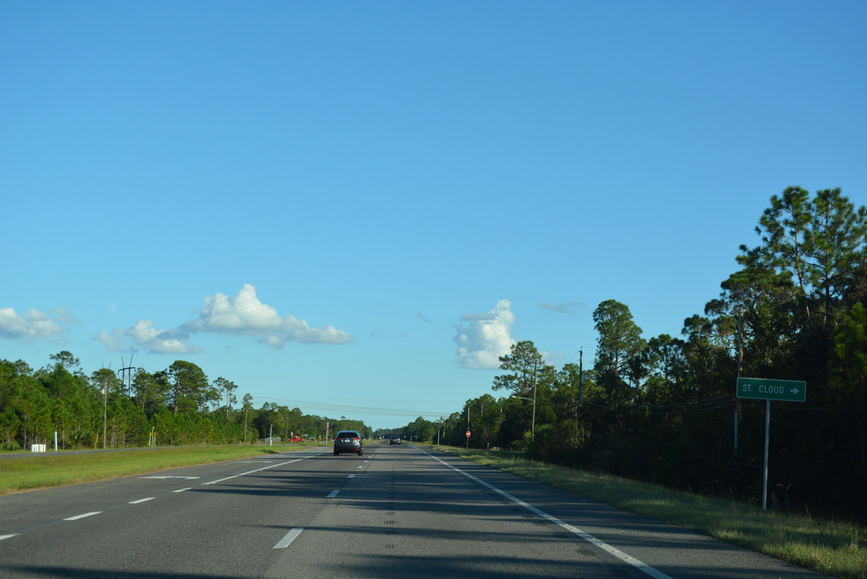
| The 26.52 mile route of County Road 532 (Nova Road) travels west from CR 419 to U.S. 192 & 441 ahead of St. Cloud. 10/20/18 |
|
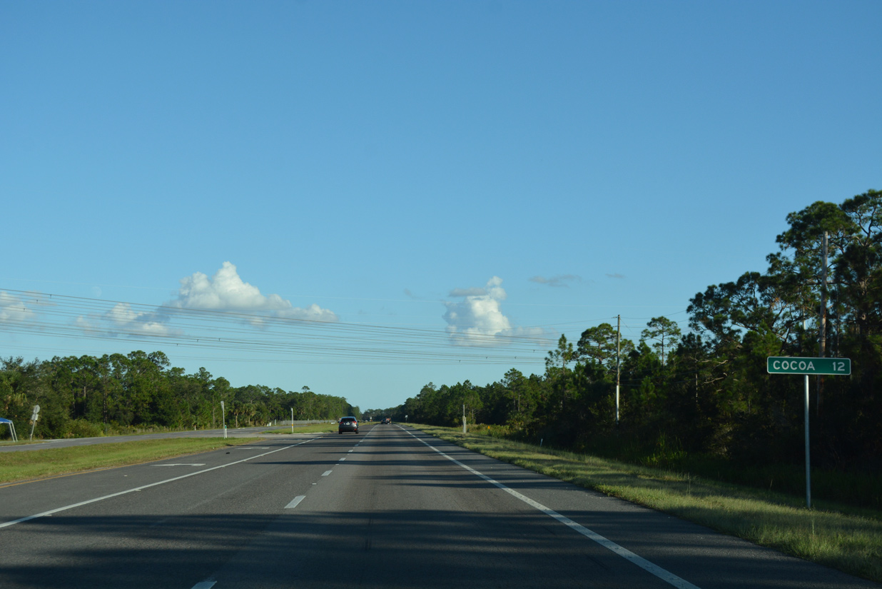
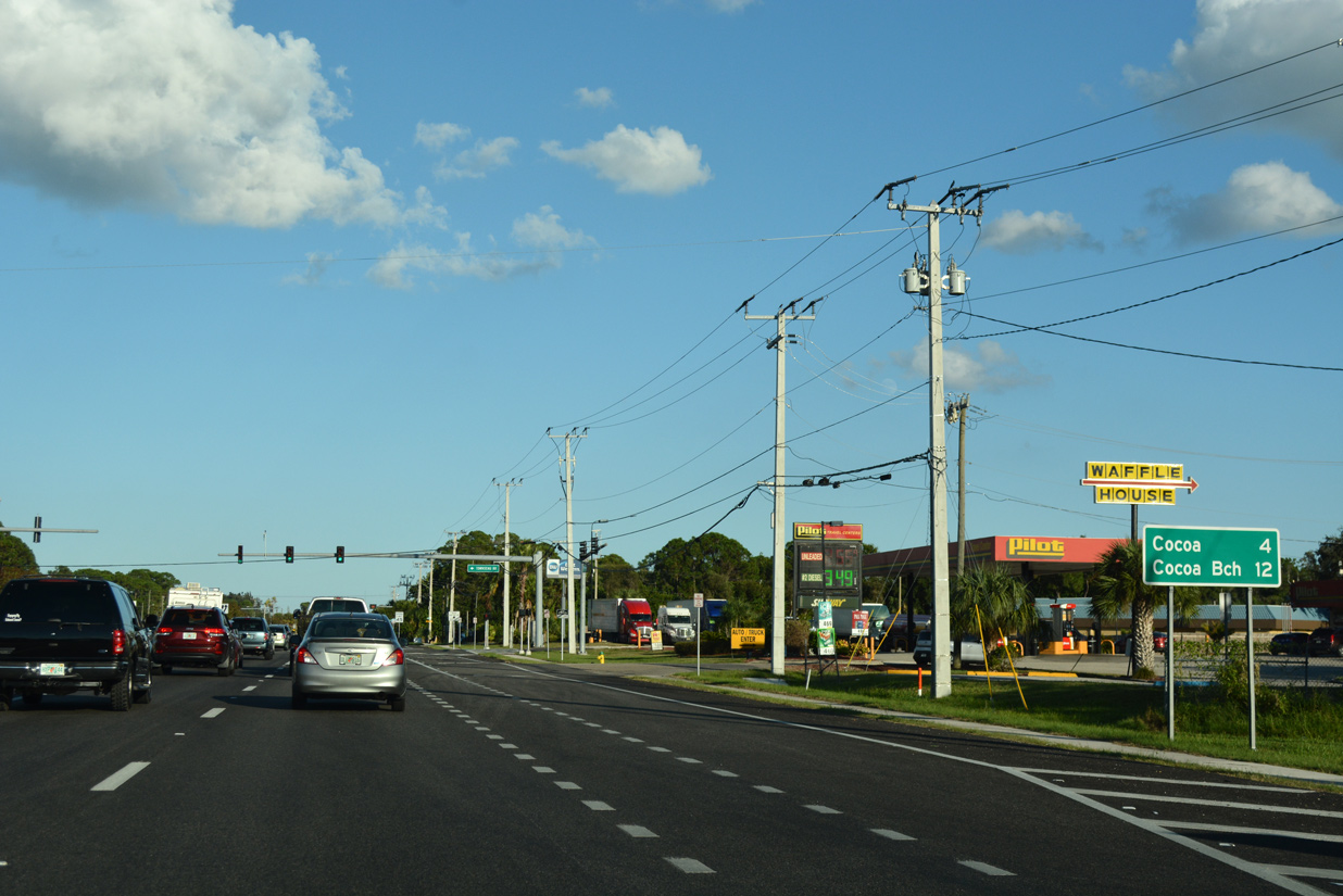
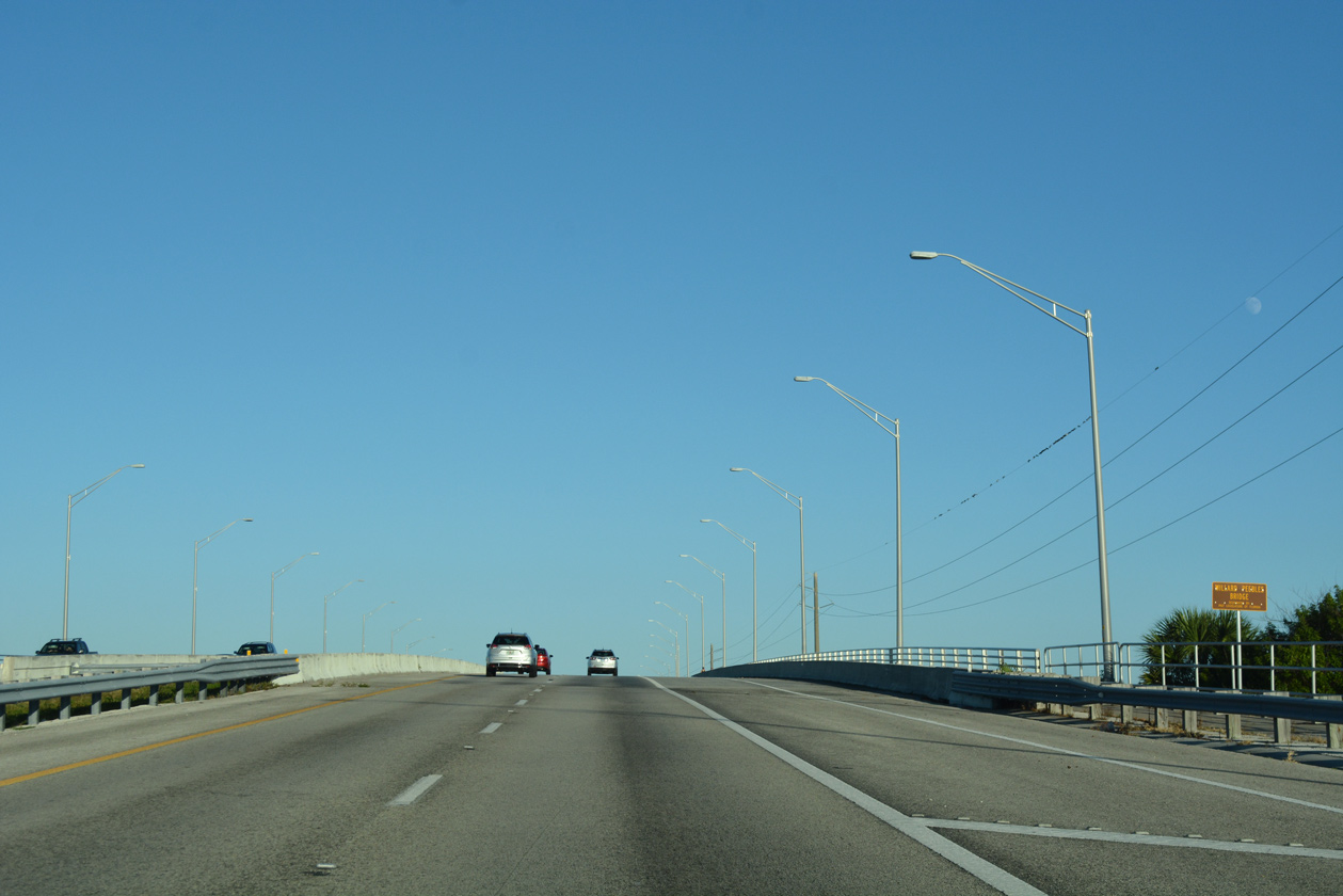
| East from Nova Road, SR 520 advances 12 miles to Downtown Cocoa. 10/20/18 |
|
| Approaching the St. Johns River, SR 520 passes through Tosohatchee State Preserve. 10/20/18 |
|
| Spanning the St. Johns River, SR 520 eastbound enters Brevard County. 10/20/18 |
|
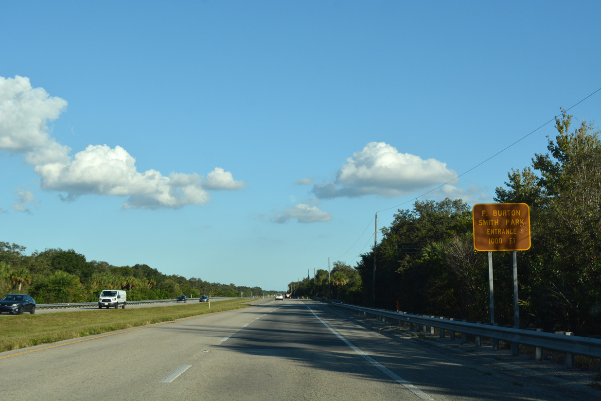
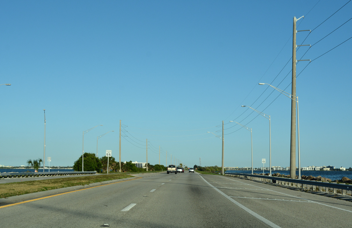
| Traveling at just 16 feet above sea level, SR 520 continues east from the St. Johns River to F. Burton Smith Regional Park. 10/20/18 |
|
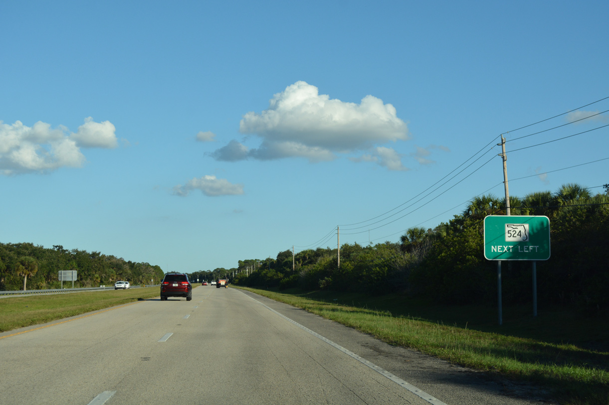
| SR 524 branches northeast from SR 520 east near the rural Canaveral Groves community. 10/20/18 |
|
| SR 524 bee lines 5.20 miles northeast to SR 528 (Beachline Expressway) ahead of Bennett Causeway (SR A1A) spanning the Indian River. 10/20/18 |
|
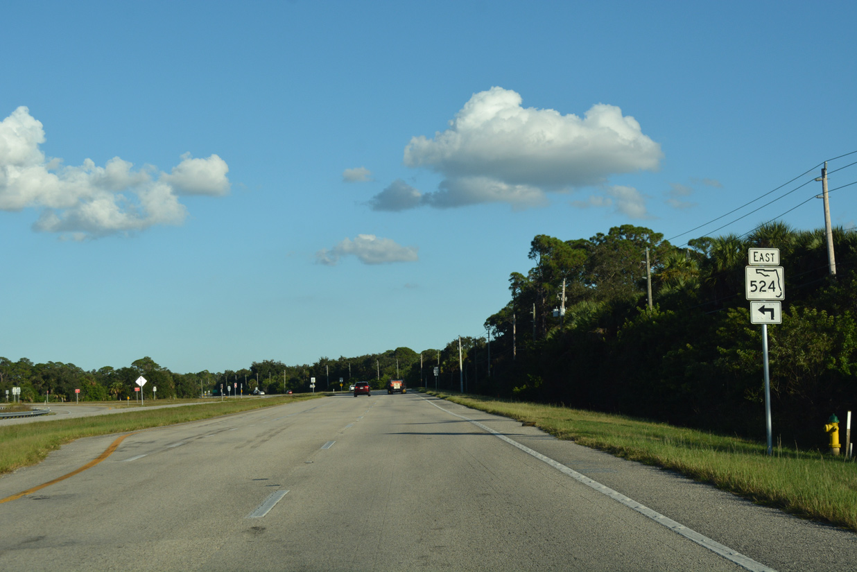
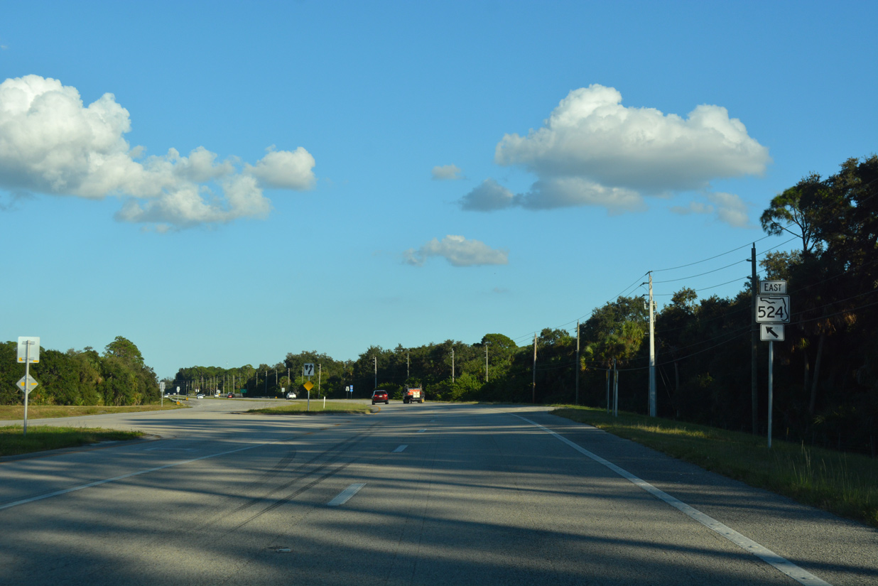
| The two state roads separate at a rural wye intersection just ahead of the Cocoa city limits. 10/20/18 |
|
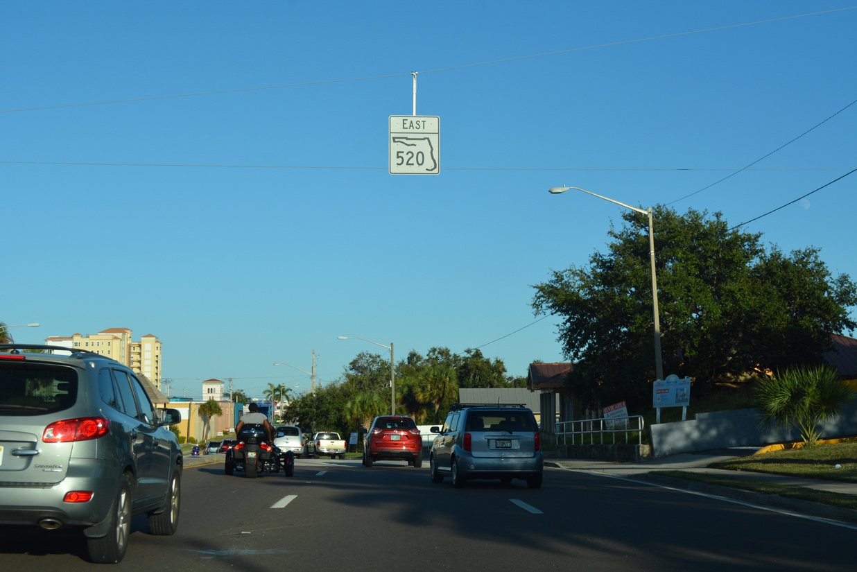
| The first confirming marker for SR 520 east stands after SR 524, 21.2 miles from the split with SR 50 near Bithlo. 10/20/18 |
|
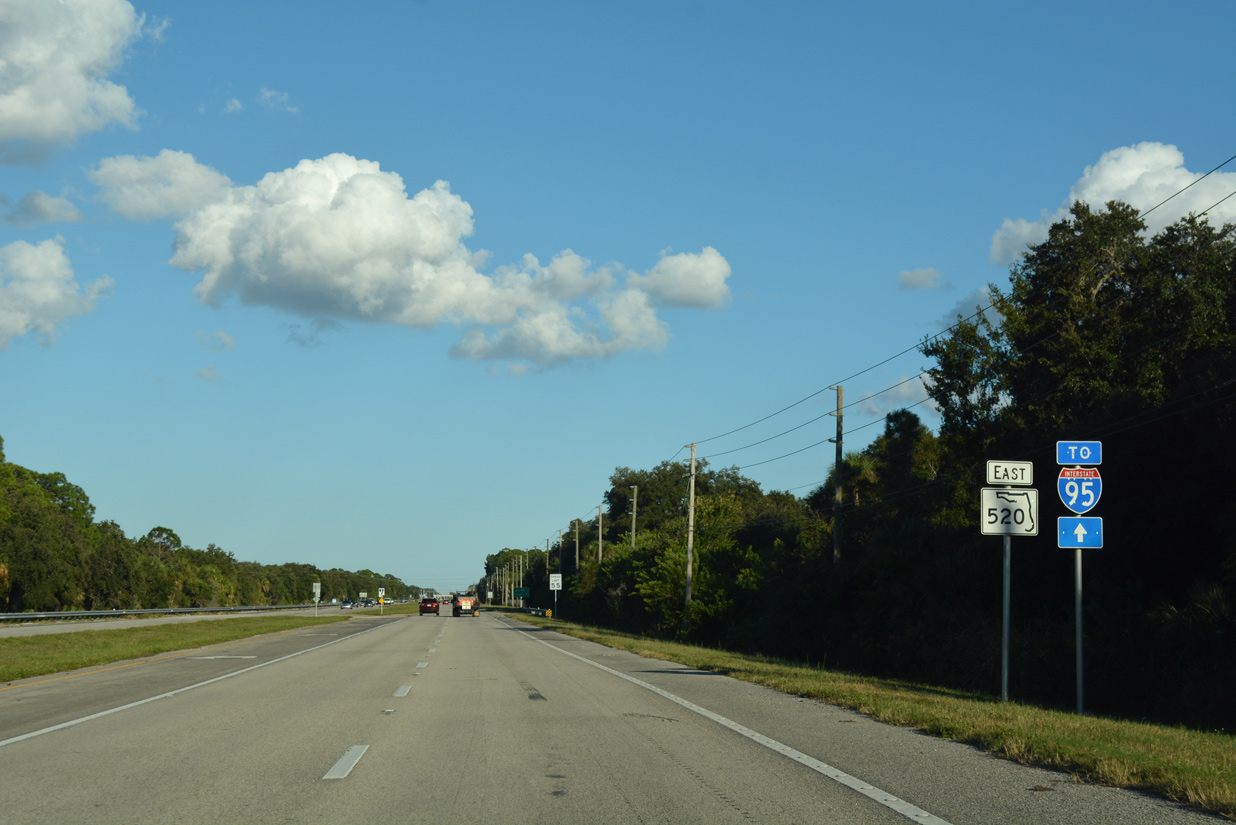
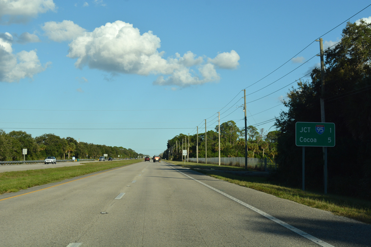
| SR 520 advances one mile east from SR 524 to Interstate 95 and five miles to Downtown Cocoa. 10/20/18 |
|
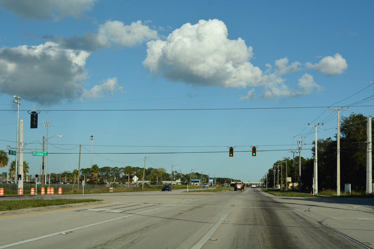
| Lake Poinsett Road north and Friday Road south come together at the first traffic light along SR 520 in Brevard County. Cocoa Expo Sports Center lies on the northeast quadrant of the intersection. 10/20/18 |
|
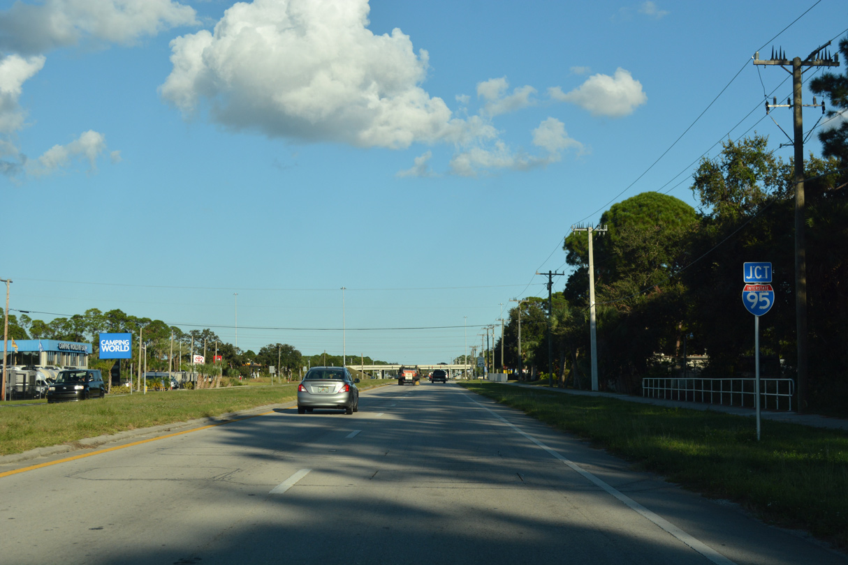
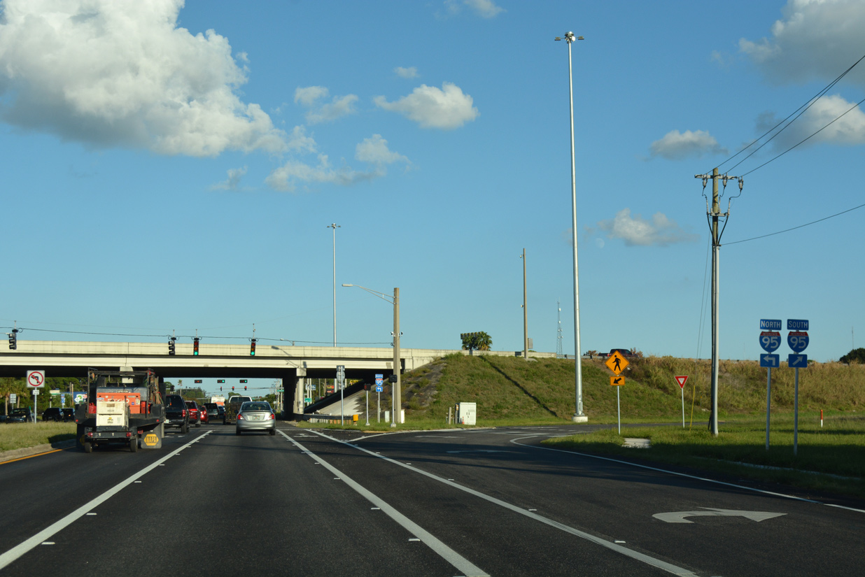
| SR 520 becomes commercialized leading into the diamond interchange with Interstate 95. 10/20/18 |
|
| There are no guide signs for either ramp to Interstate 95 from SR 520 east. 10/20/18 |
|
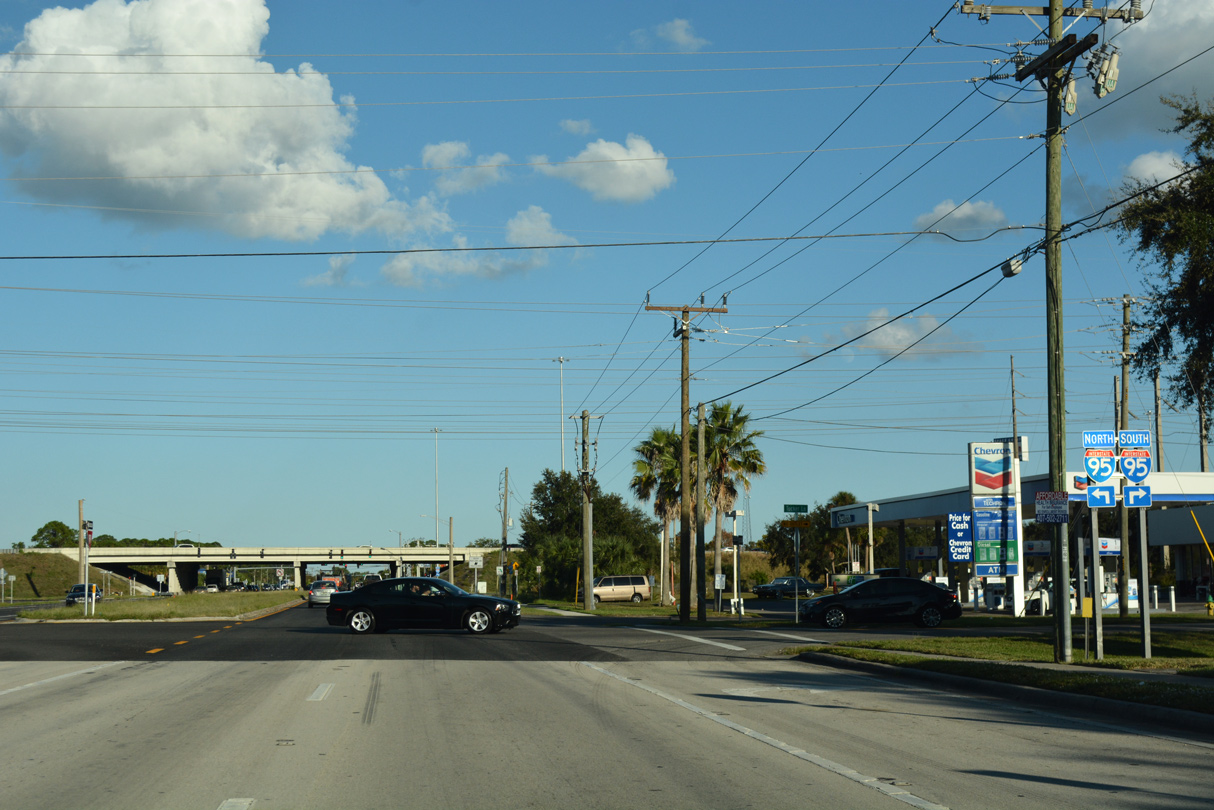
| The southbound on-ramp to Melbourne, Vero Beach, Fort Pierce and South Florida departs SR 520 east. 10/20/18 |
|
| 11.3 miles of SR 520 east to Cocoa Beach remain beyond the northbound ramp for I-95 to Titusville, New Smyrna Beach and the First Coast. 10/20/18 |
|
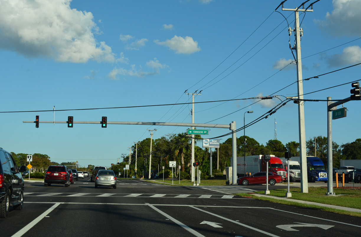
| Townsends Road ties into SR 520 (King Street) from adjacent businesses at the succeeding traffic light. 10/20/18 |
|
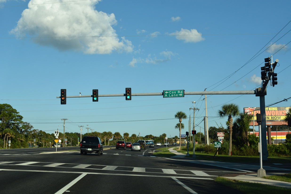
| Cox Road comprises a through road north from SR 520 (King Street) to SR 524. A Lane spurs south into the Whispering Pines subdivision. 10/20/18 |
|
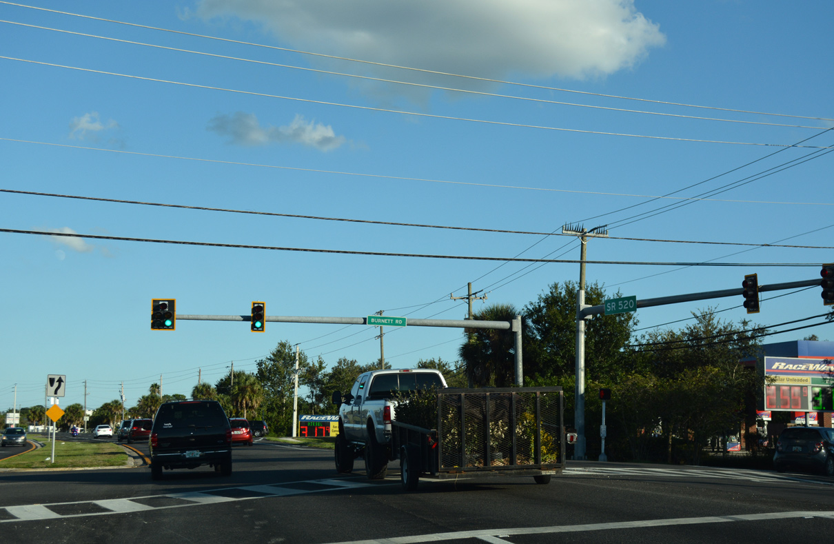
| SR 520 (King Street) shifts southward from Lake Drive, meeting Burnett Road at the ensuing traffic light. 10/20/18 |
|
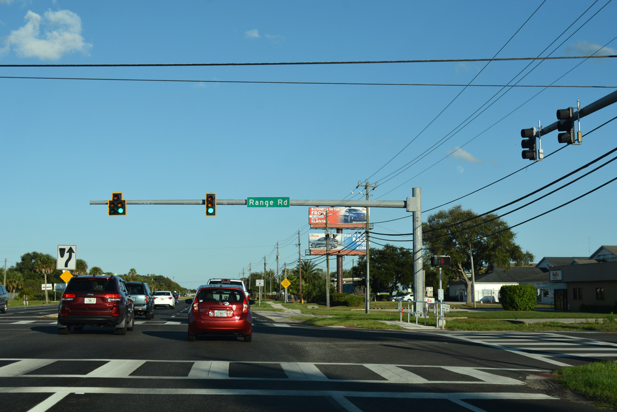
| Straightening out east again, SR 520 meets Range Road south to Pluckebaum Road and north to unincorporated subdivisions including Palm Estates and Melrose Manor. 10/20/18 |
|
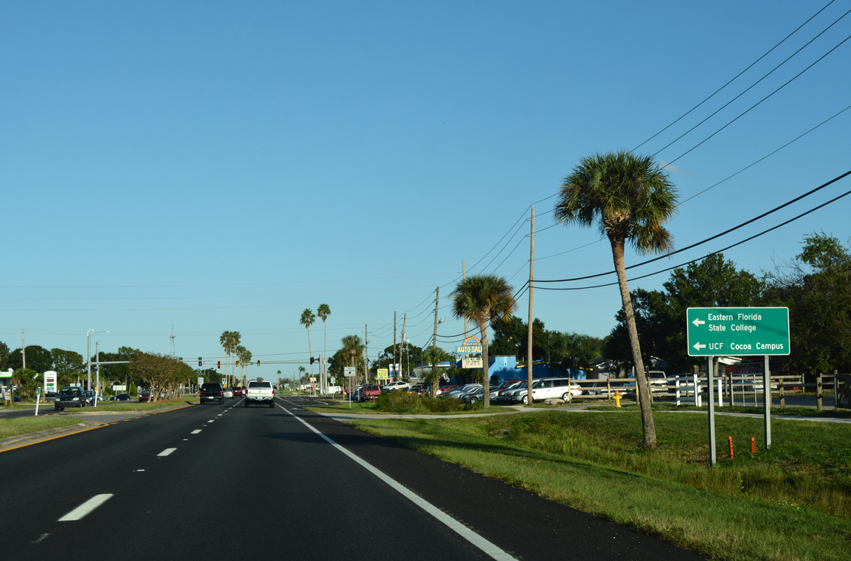
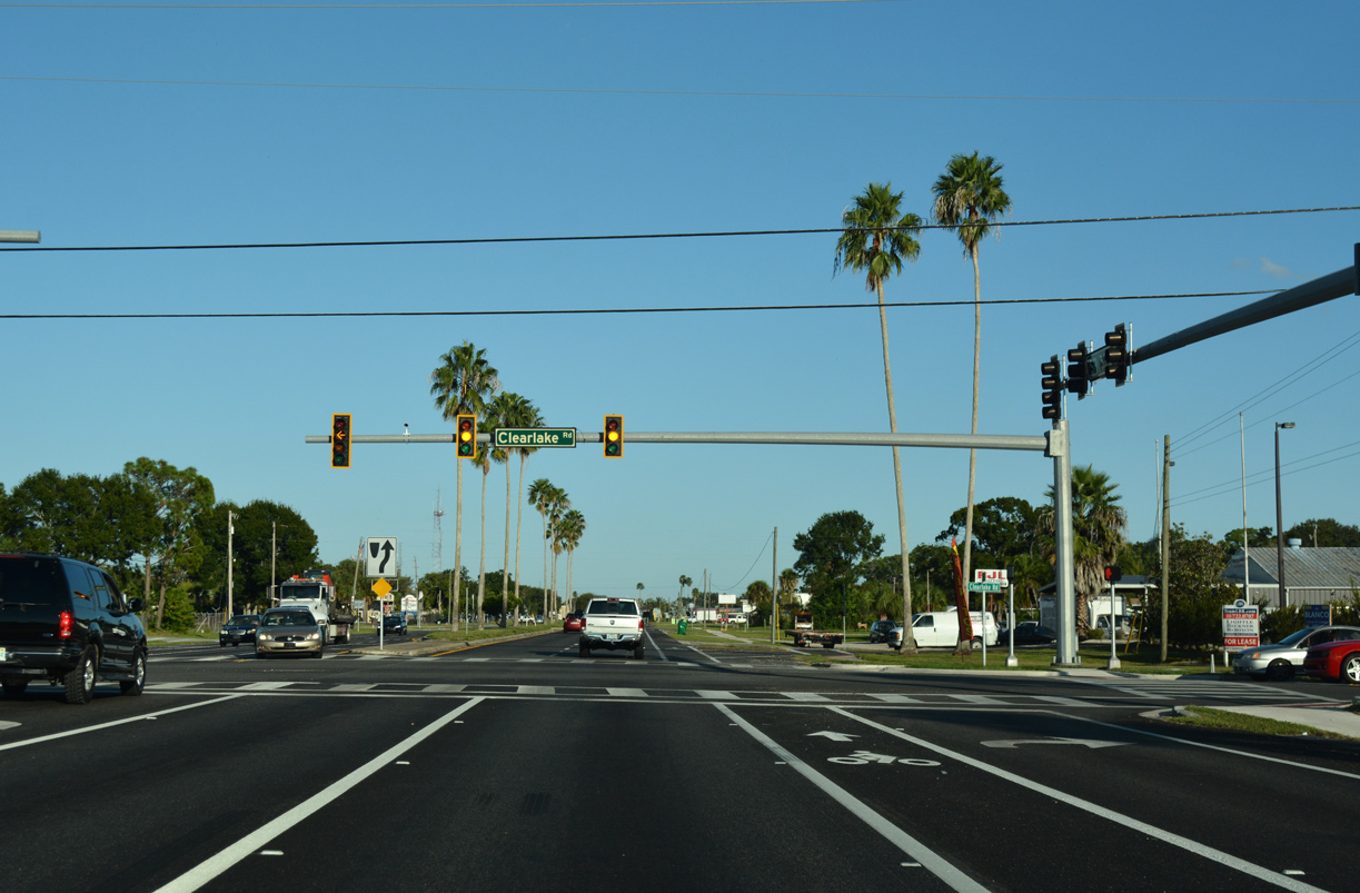
| Clearlake Road stems north from Puckebaum Road and the Rockledge city line to become SR 501 north of SR 520 (King Street). SR 501 continues Clearlake Road north to the University of Central Florida (UCF) Cocoa Campus and Eastern Florida State College. 10/20/18 |
|
| State Road 501 is unmarked along either direction of SR 520 (King Street) and along the initial stretch of Clearlake Road north. The state road otherwise extends 3.36 miles north through Cocoa to SR 524 at Industry Road and SR 528 (Beachline Expressway). 10/20/18 |
|
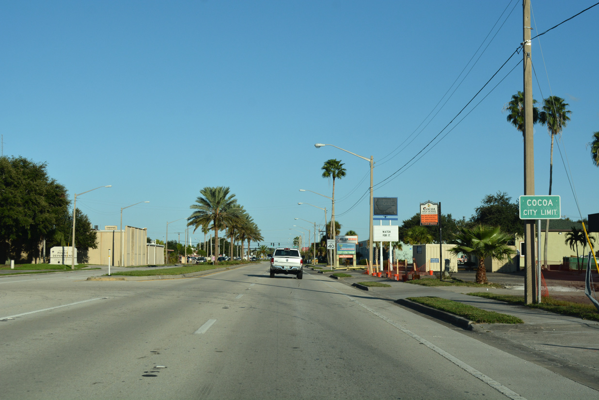
| Having run along portions of the Cocoa city line prior to Virginia Avenue, SR 520 (King Street) finally enters the municipality wholly by the Pine Acres neighborhood. 10/20/18 |
|
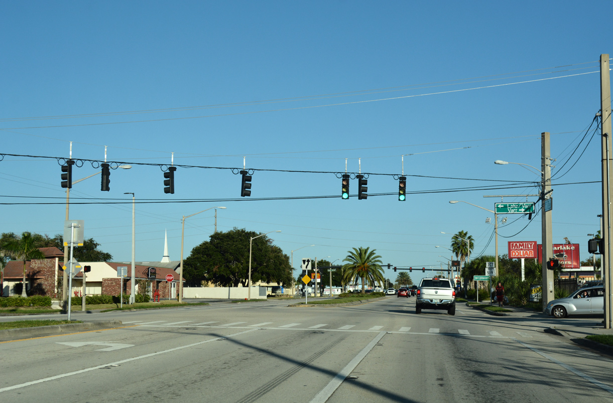
| Parallel Lake Drive converges with SR 520 (King Street) again at a five way intersection with Varr Avenue. 10/20/18 |
|
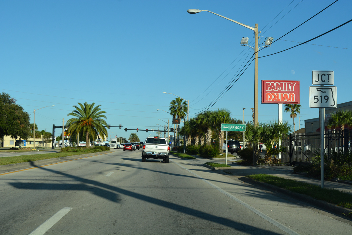
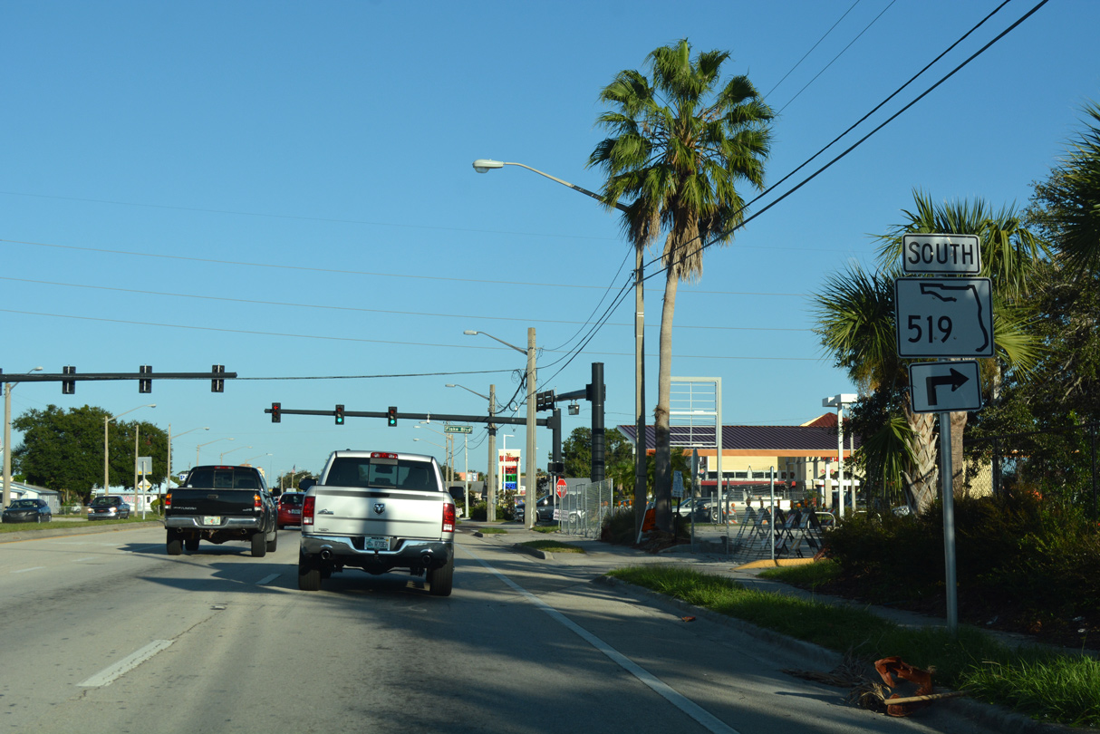
| SR 520 (King Street) intersects the north end of SR 519 (Fiske Boulevard) just east of Lake Drive / Varr Avenue. 10/20/18 |
|
| SR 519 (Fiske Boulevard) heads 4.60 miles south from SR 520 in Cocoa through Rockledge to Interstate 95 at Barnes Boulevard (CR 502) east and Stadium Parkway south to Viera. 10/20/18 |
|
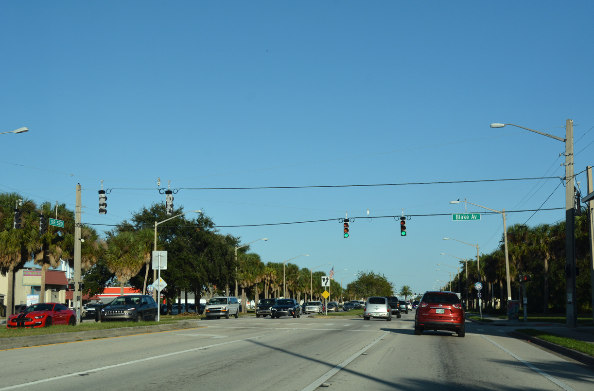
| Continuing east to the College Park neighborhood, SR 520 intersects Blake Avenue. 10/20/18 |
|
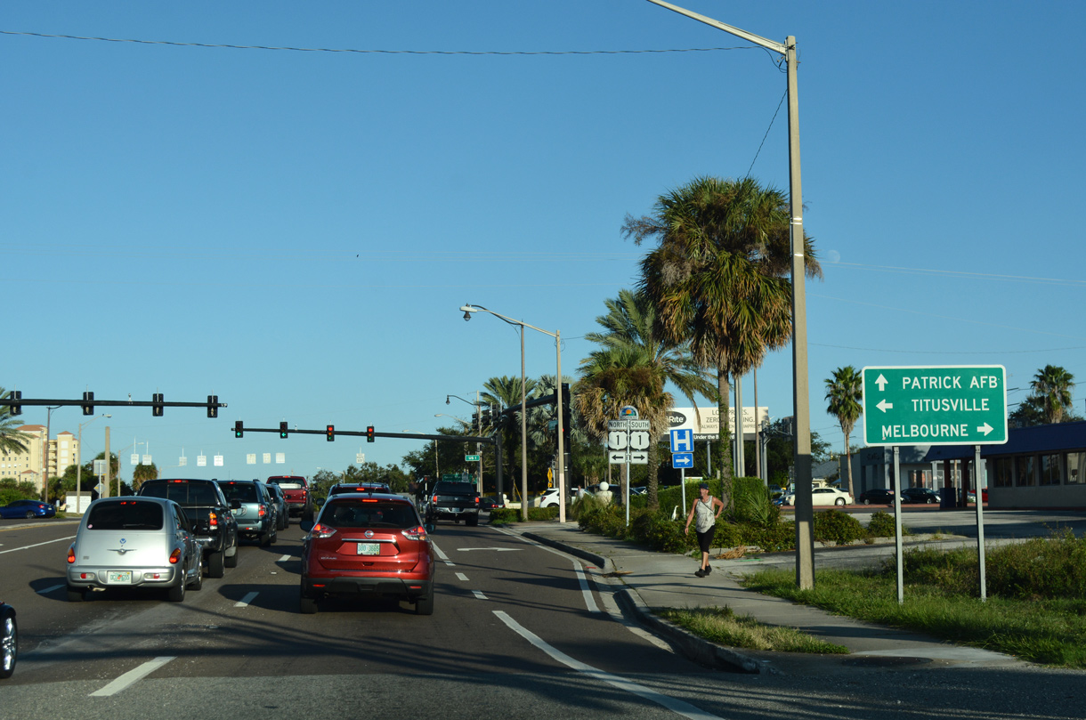
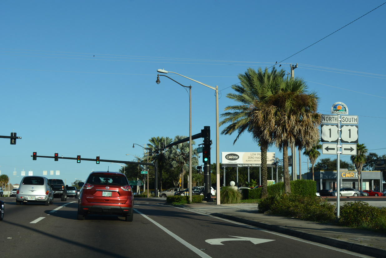
| A SR 520 reassurance marker stands just ahead of the at-grade crossing with Florida East Coast (FEC) Railway and U.S. 1. 10/20/18 |
|
| U.S. 1 runs along the west side of Downtown Cocoa, representing the main route north to Titusville and south to Rockledge. U.S. 1 parallels Indian River Lagoon throughout Brevard County, extending south to Melbourne and Palm Bay. 10/20/18 |
|
| U.S. 1 doubles as the Indian River Lagoon Scenic Byway north and south from Cocoa. SR 520 east to Cocoa Beach also represents a leg of the 233 mile system of roadways. 10/20/18 |
|
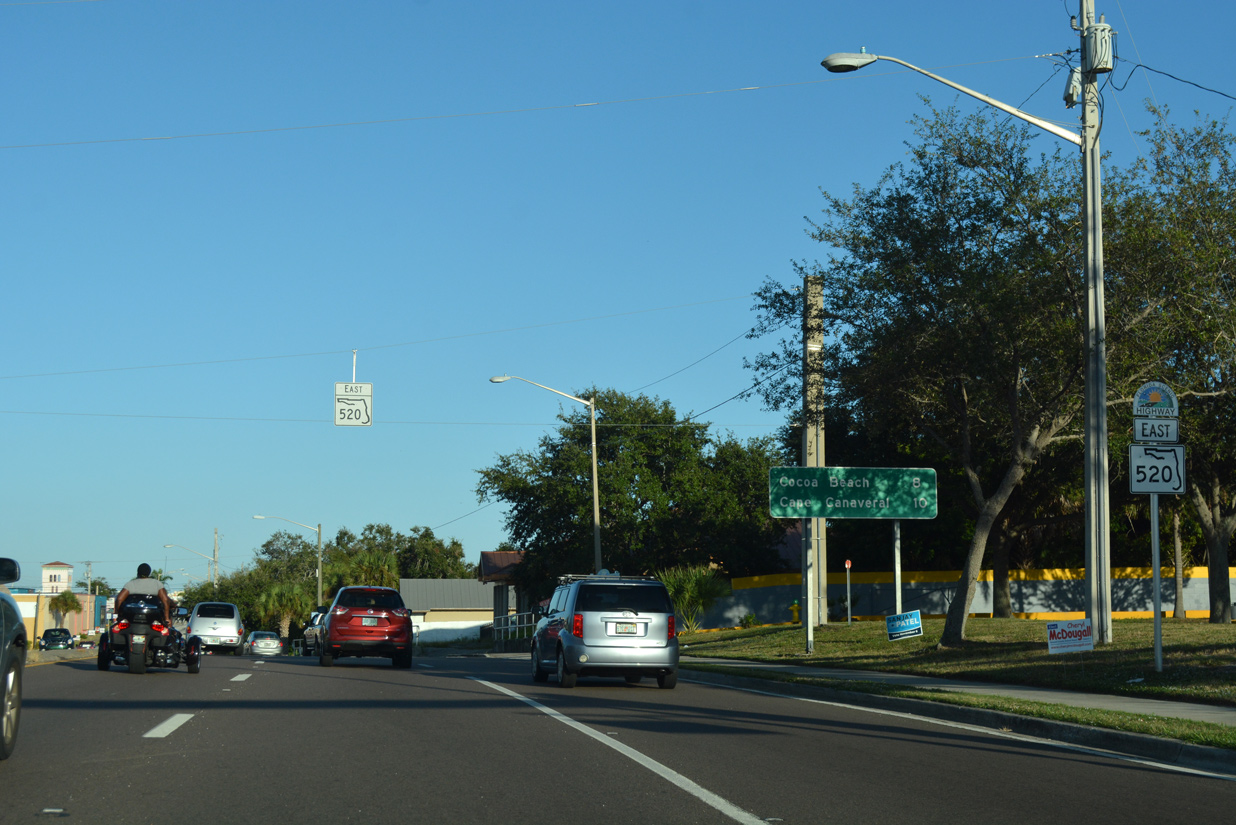
| Continuing through Downtown Cocoa, SR 520 travels 7.5 miles to Cocoa Beach. Cape Canaveral lies two miles further via SR A1A north. 10/20/18 |
|
| SR 520 splits into a one way couplet through Downtown Cocoa. Eastbound traffic stays on King Street while the westbound roadway lines Willard Street. 10/20/18 |
|
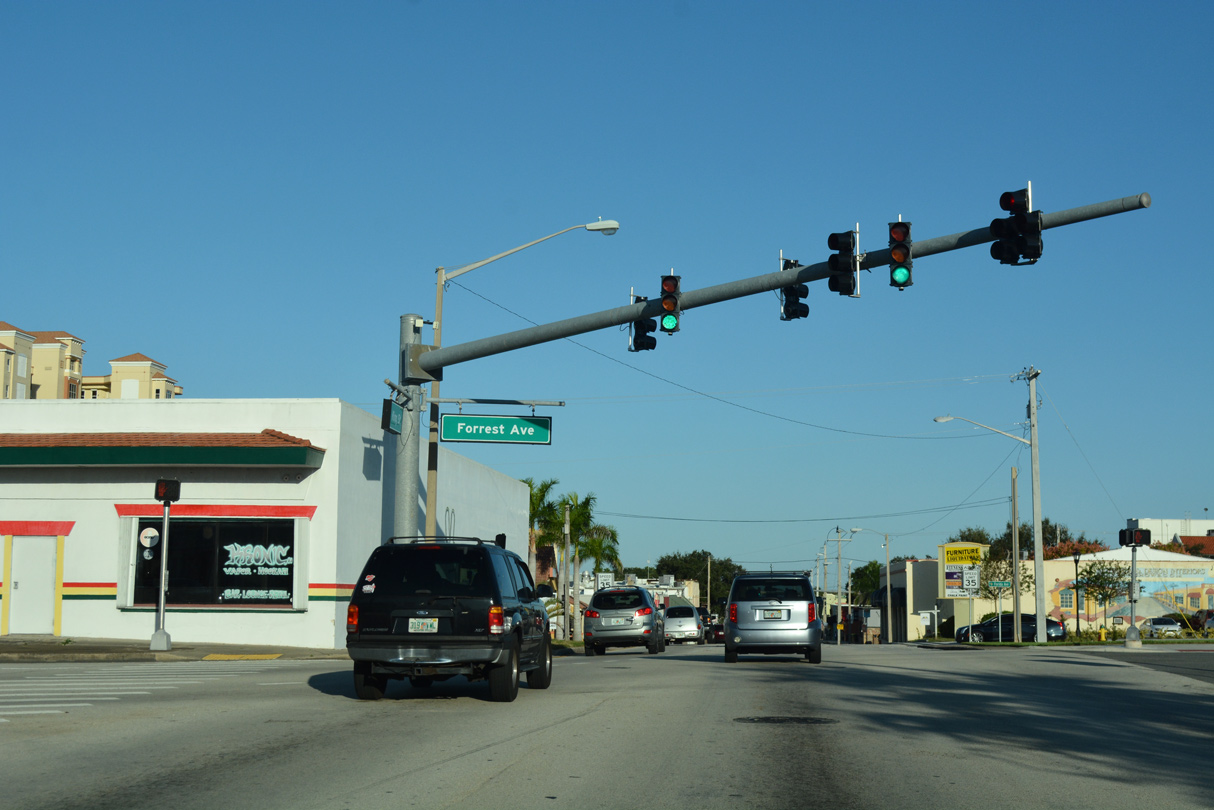
| Forrest Avenue angles across SR 520 (King Street) east at the succeeding traffic light. Forrest Avenue and adjacent Florida Avenue south represent the historic alignment of U.S. 1. 10/20/18 |
|
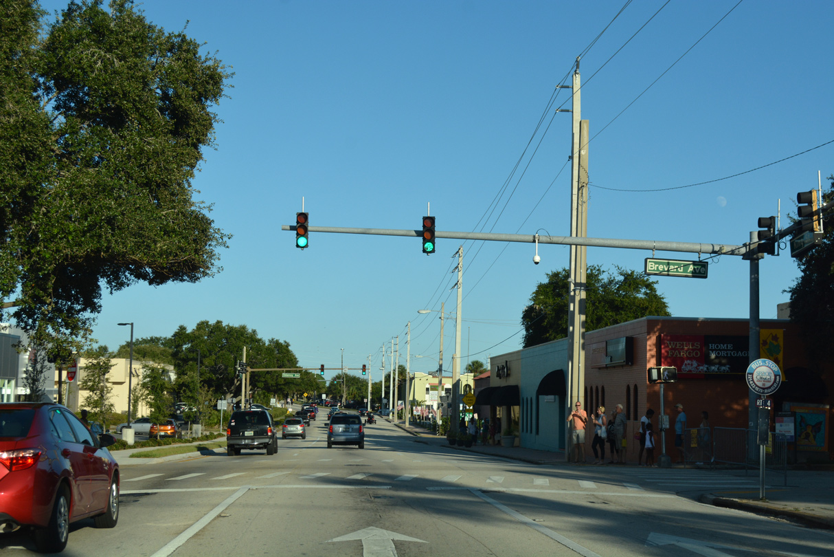
| Unsigned County Road 515 follows Indian River Drive south to Brevard Avenue and King Street in Downtown Cocoa. 10/20/18 |
|
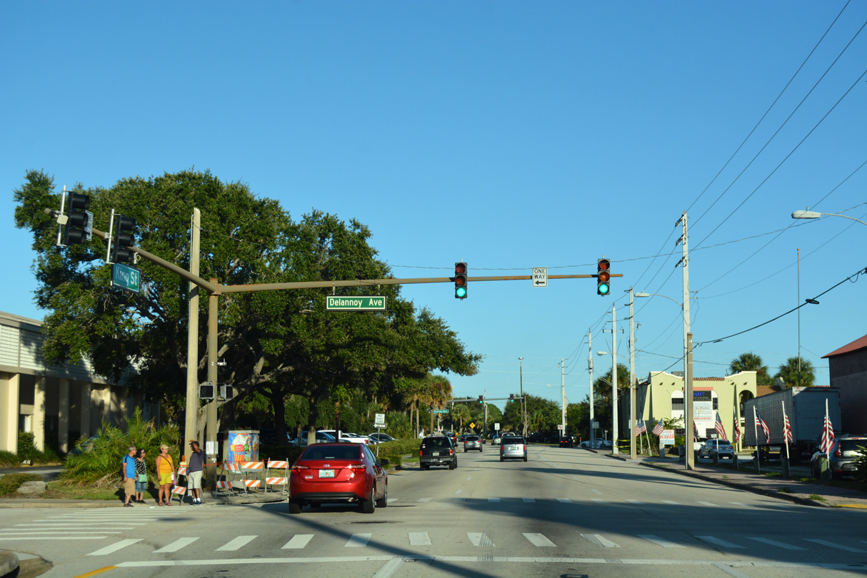
| Delannoy Avenue leads CR 515 north from Church Street and Riverside Drive to SR 520 at King and Willard Streets. 10/20/18 |
|
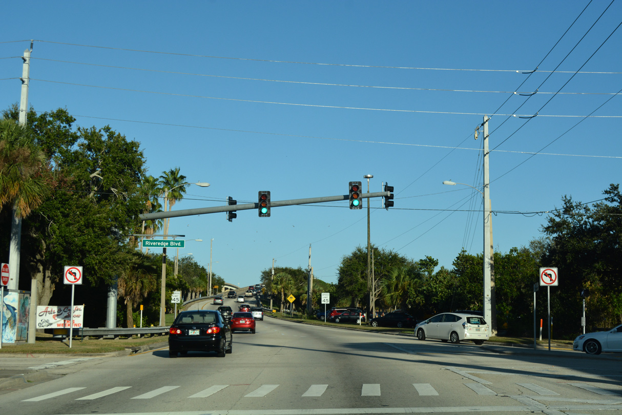
| Riveredge Boulevard links SR 520 (King Street) with Cocoa Riverfront and Lee Wenner Parks. 10/20/18 |
|
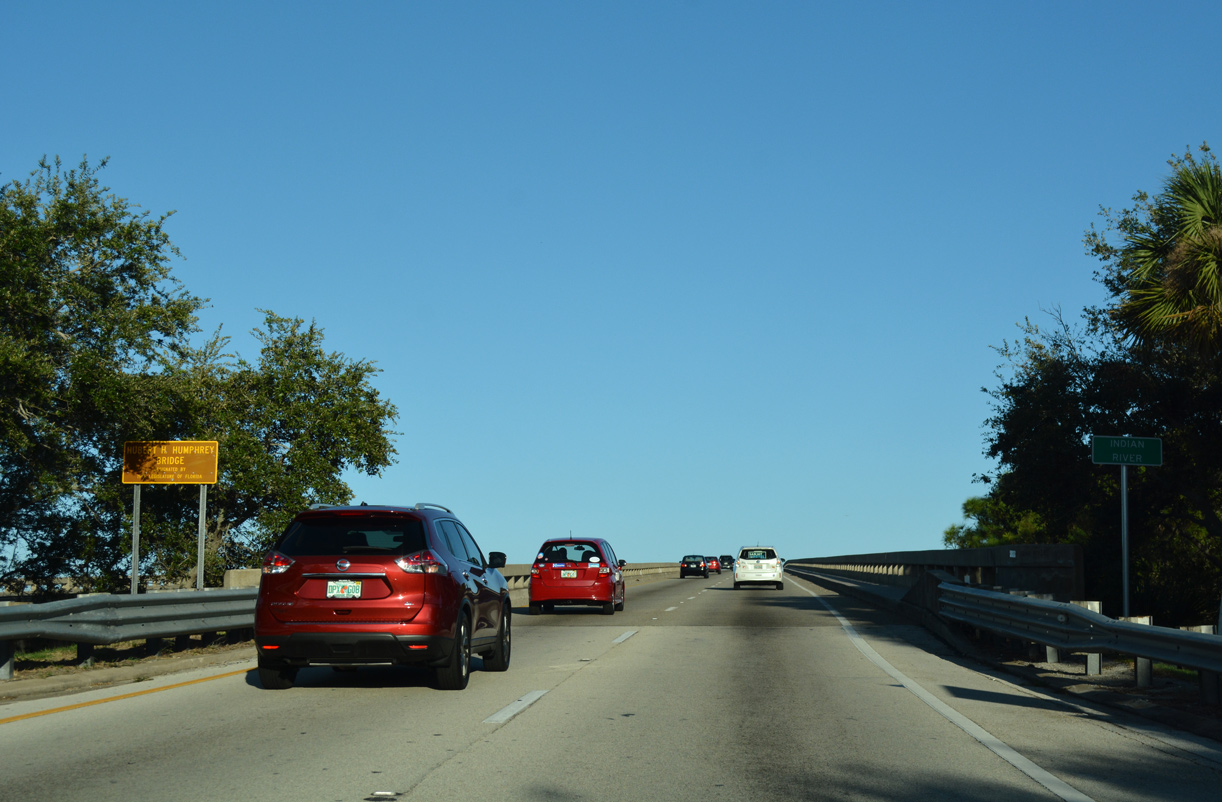
| SR 520 rises onto the Hubert Humphrey Bridge across the Intracoastal Waterway and Indian River. The eastbound span was built in 1957 and reconstructed in 1969.1 10/20/18 |
|
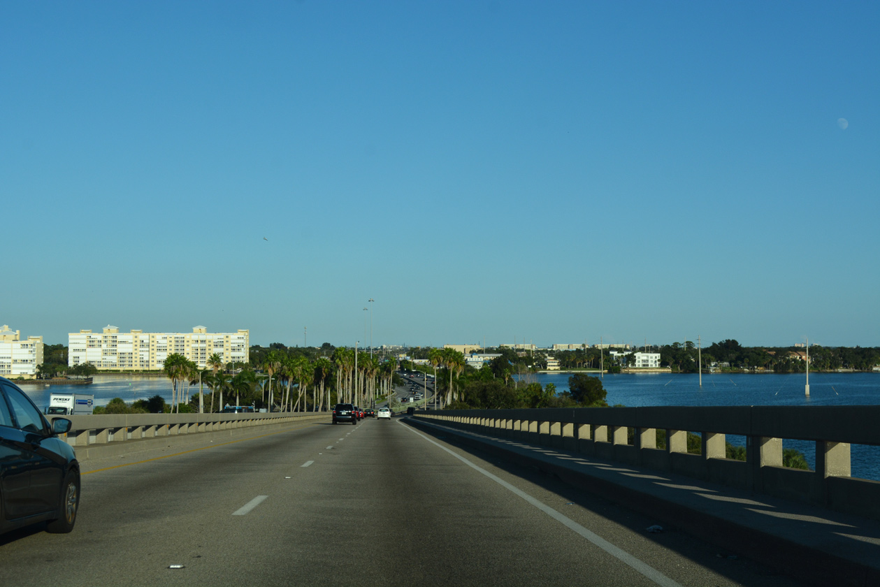
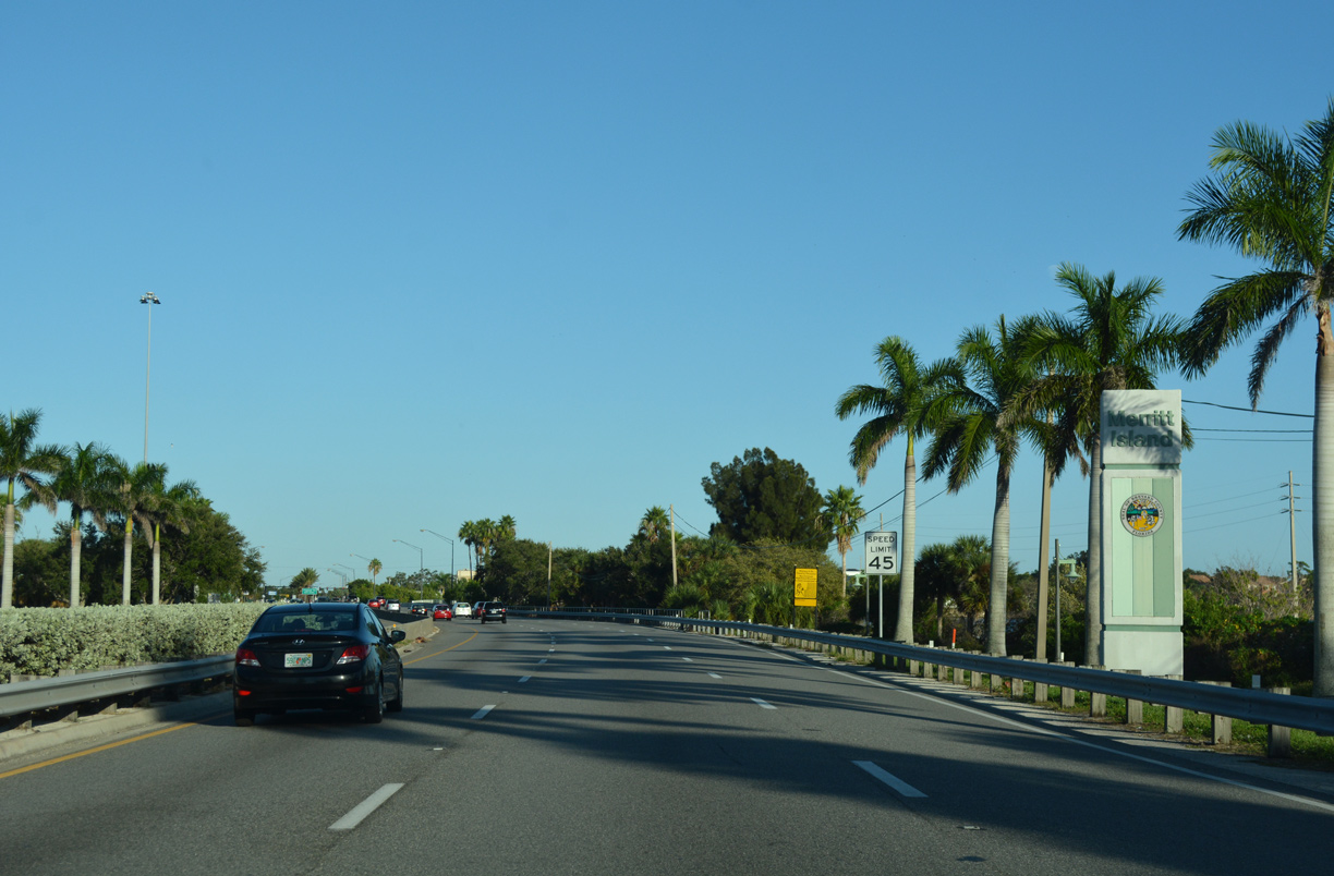
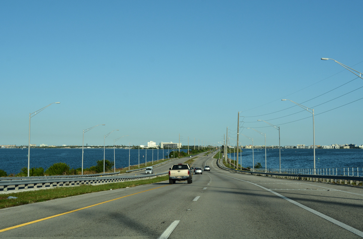
| SR 520 lowers onto Merritt Island and expands to six overall lanes. 10/20/18 |
|
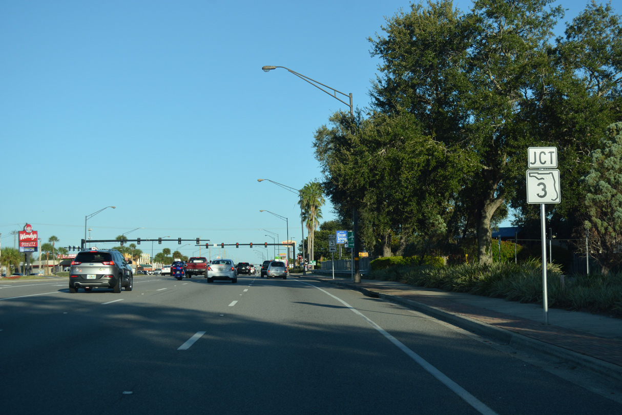
| This reassurance marker along Merritt Island Causeway precedes the signal at Tropical Trail (CR 3). 10/20/18 |
|
| Tropical Trail parallels the east banks of Indian River Lagoon north to Indianola and south to Georgiana. South from SR 520, Tropical Trail is also County Road 3, though the designation is not signed. 10/20/18 |
|
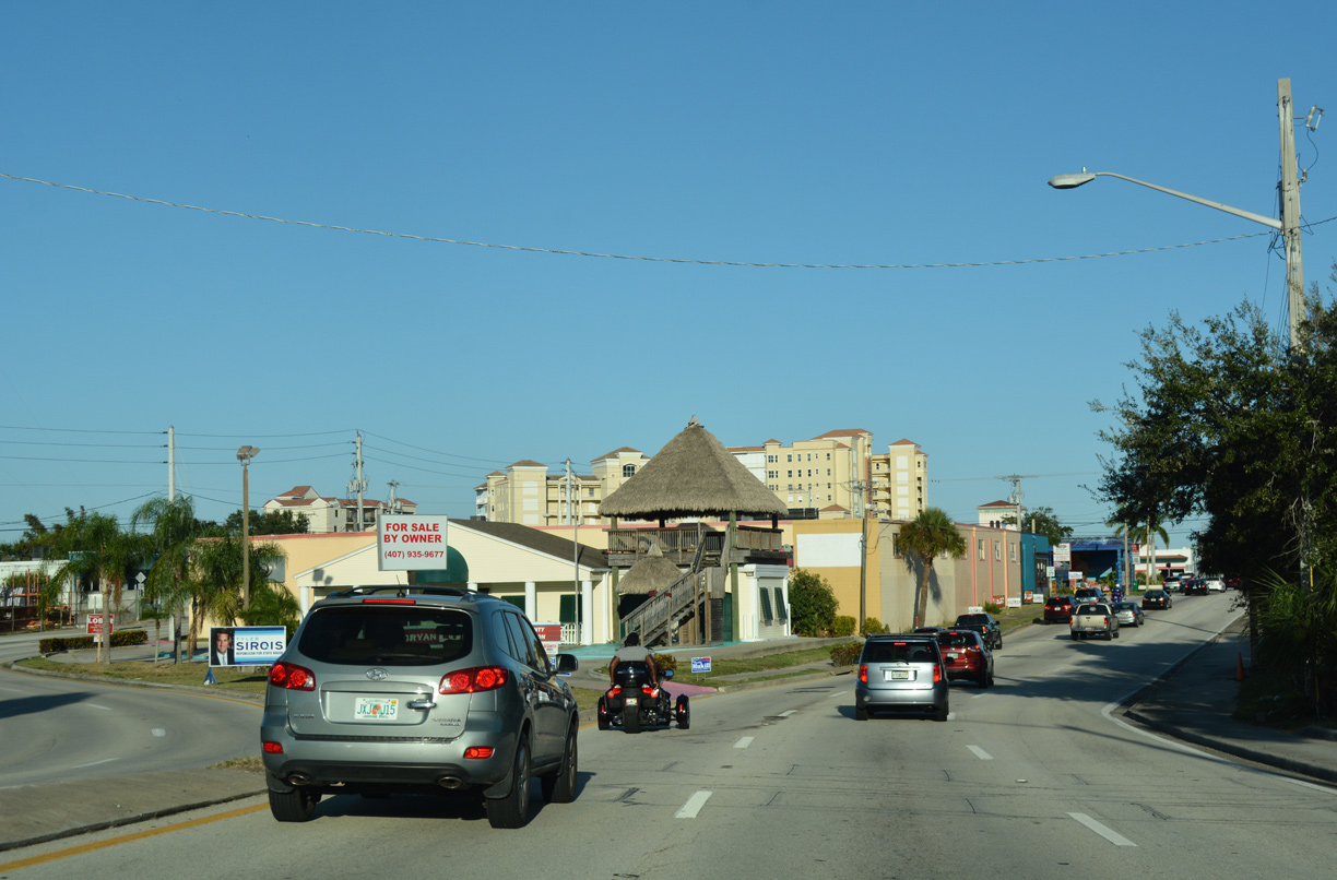
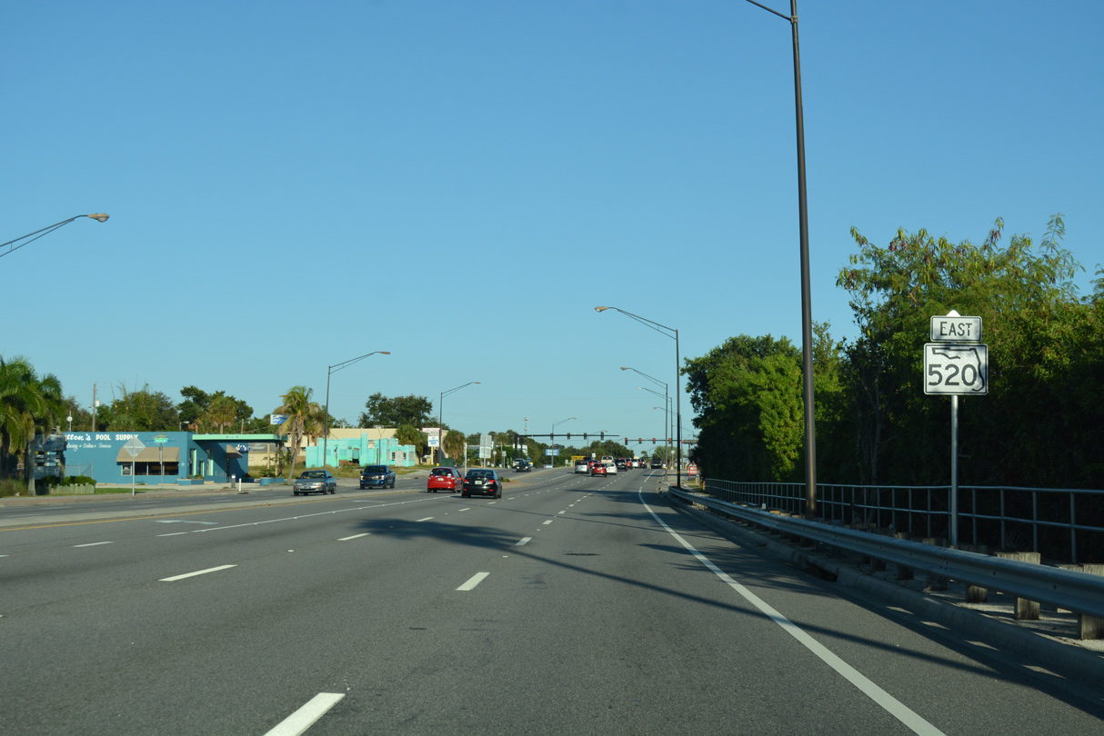
| SR 520 (Merritt Island Causeway) represents the main commercial strip across Merritt Island. 10/20/18 |
|
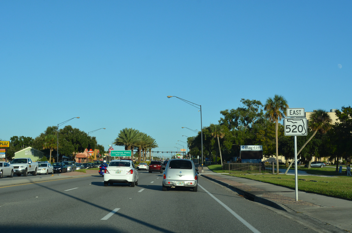
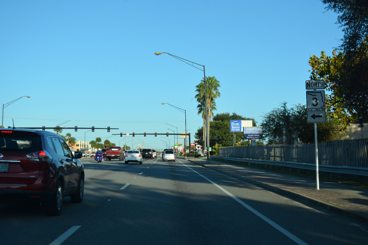
| SR 3 travels 9.76 miles north from SR 520 along Courtney Parkway to Merritt Island National Wildlife Refuge and Kennedy Space Center. 10/20/18 |
|
| Courtney Parkway constitutes a well traveled arterial route leading SR 3 north through built up areas of Merritt Island to Indianola and SR A1A/528 (Bennett Causeway). Courtney Parkway south is an unnumbered road to Merritt Island Airport (COI) and Tropical Trail (CR 3) at Rockwell. 10/20/18 |
|
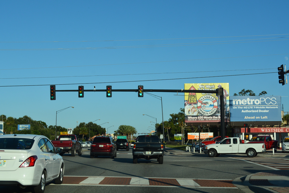
| SR 520 (Merritt Island Causeway) continues east from Courtenay Parkway by numerous strip centers, big box retail stores and restaurants. 10/20/18 |
|
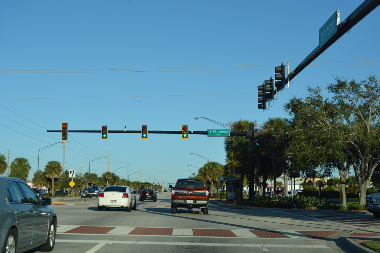
| Plumosa Street connects Merritt Island Causeway with the Hampton Homes community to the north and the Belaire and Merritt Ridge neighborhoods to the south. 10/20/18 |
|
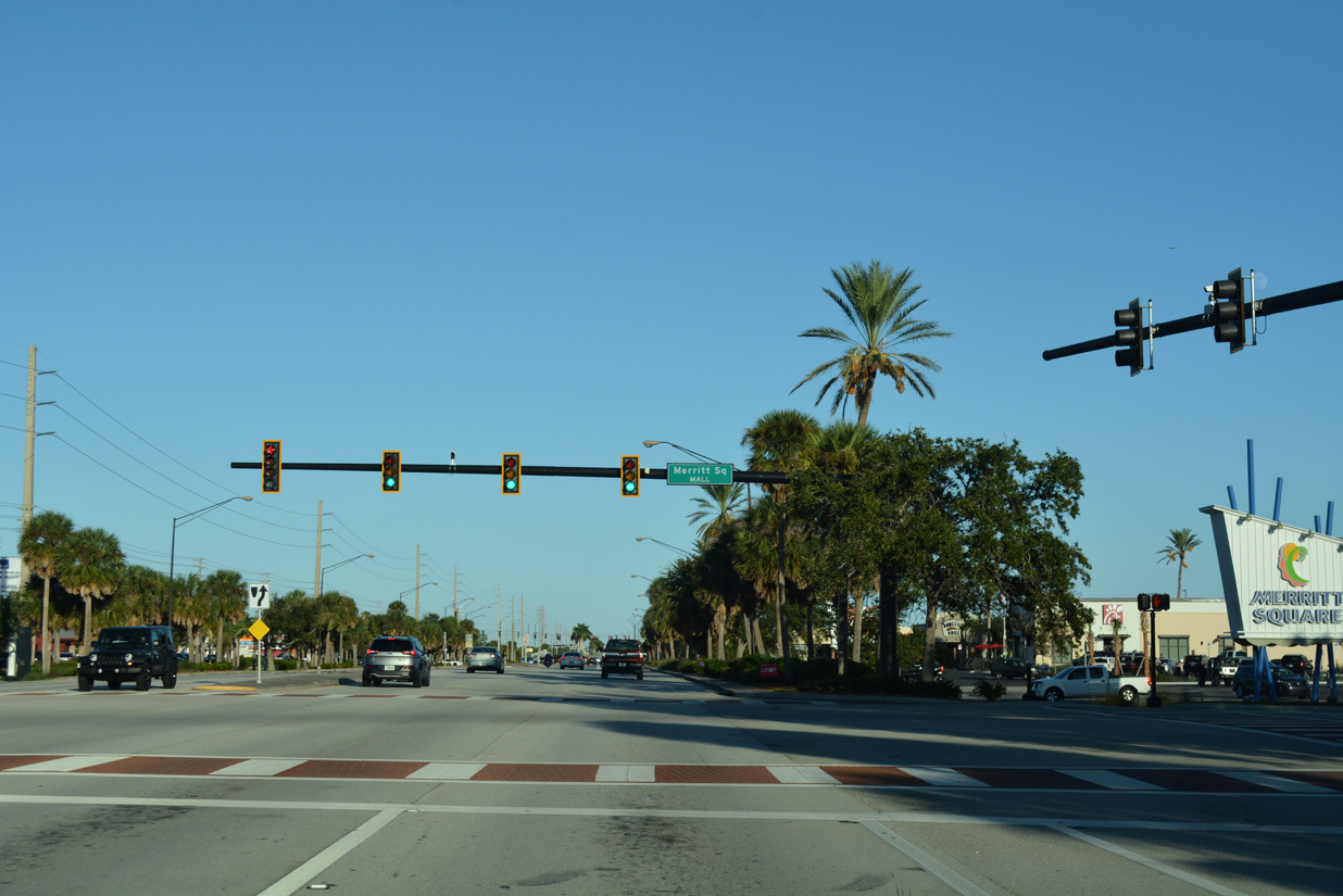
| SR 520 runs along the north side of Merritt Square Mall, meeting the main entrance at this traffic light. 10/20/18 |
|
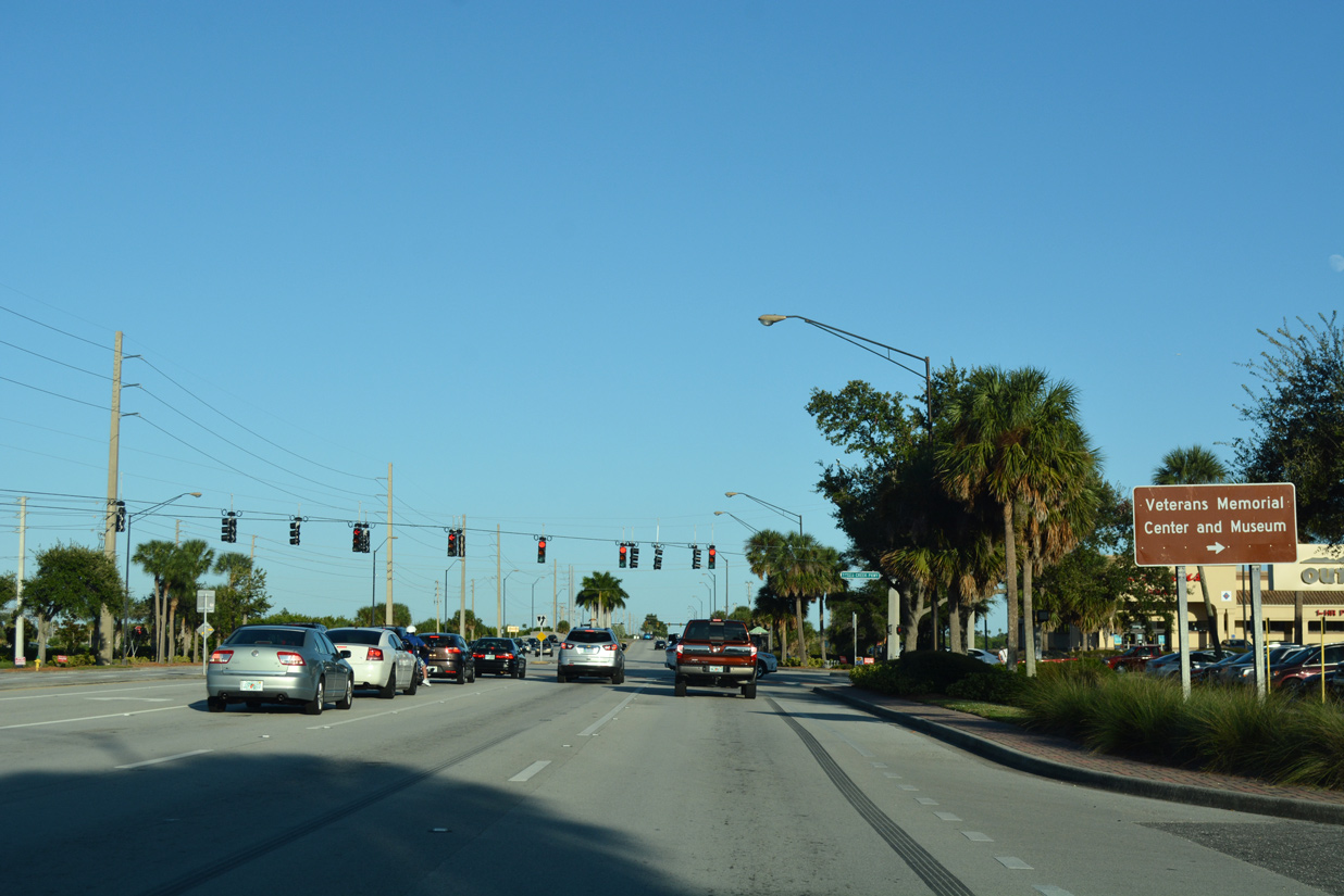
| Sykes Creek Parkway spurs south from SR 520 to the Veterans Memorial Center and Museum. Crossing Sykes Creek to the northeast, the parkway provides a direct route to North Banana River Drive to Kelly Park. 10/20/18 |
|
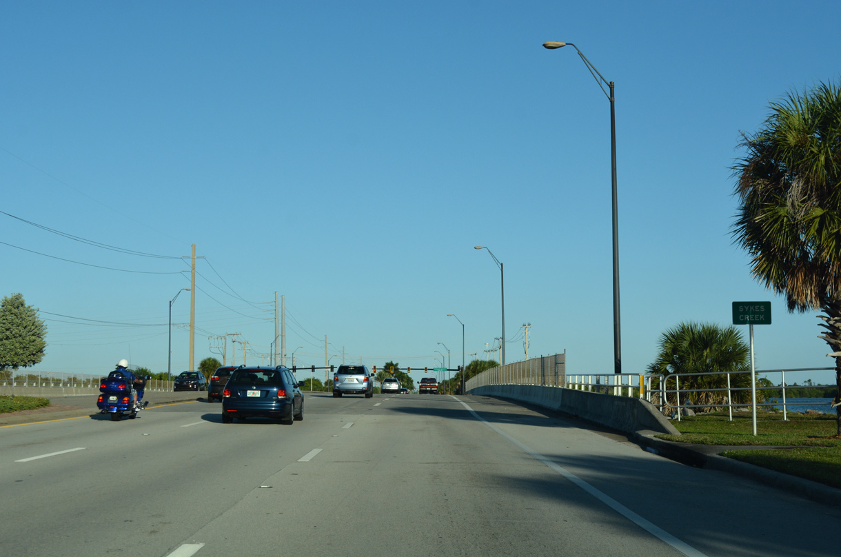
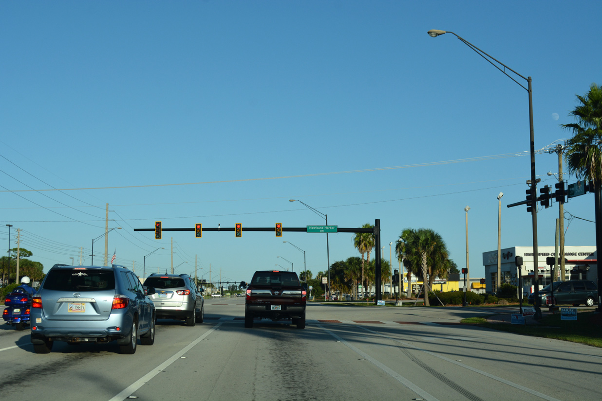
| Merritt Island Causeway spans Sykes Creek south of Merritt Point and north of Newfound Harbor. 10/20/18 |
|
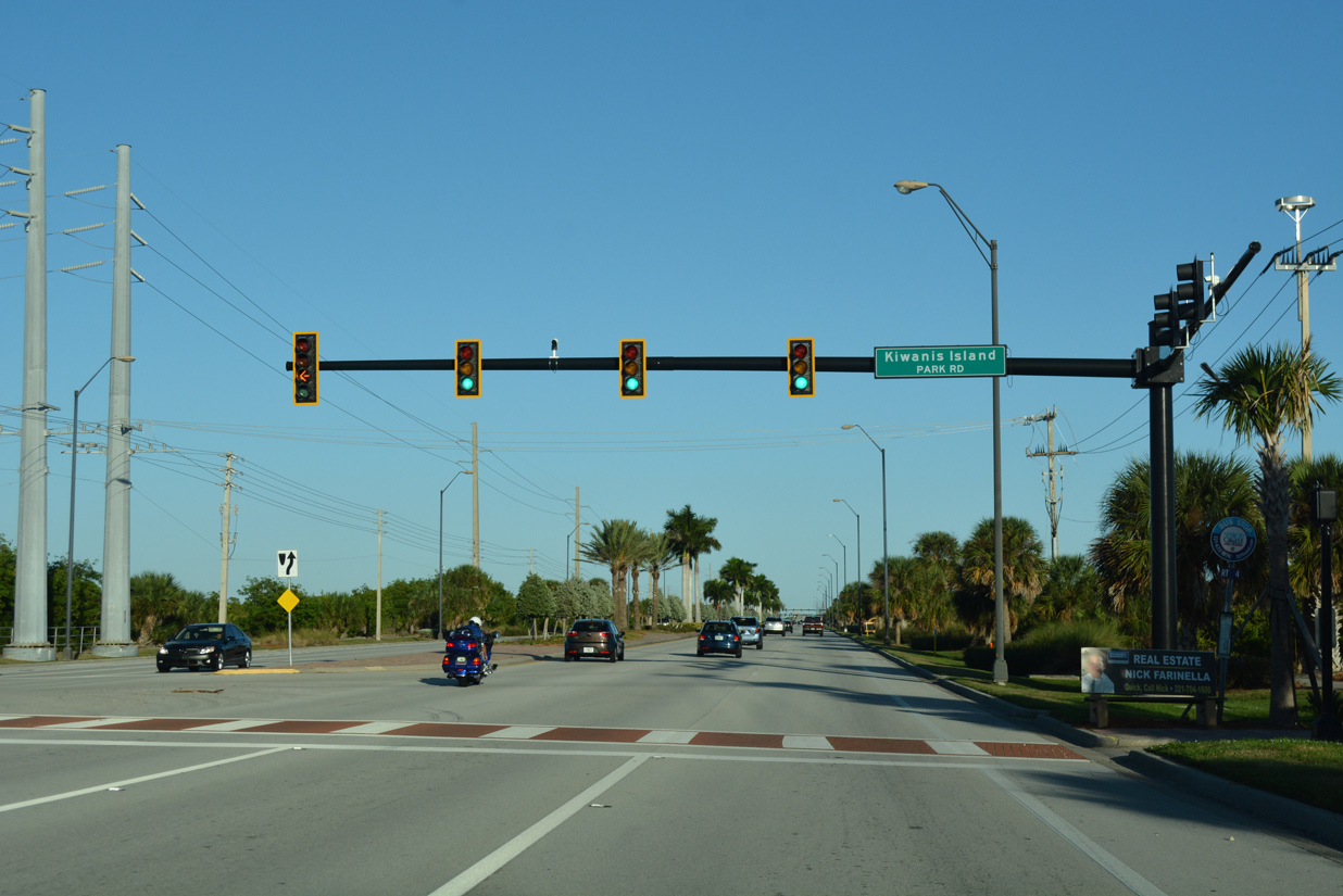
| Kiwanis Island Park Road stems north onto Kiwanis Island from SR 520. 10/20/18 |
|
| Newfound Harbor Drive ties into Merritt Island Causeway across from a Walmart entrance. Newfound Harbor Drive travels 3.9 miles south to Buck Point along the peninsula separating Newfound Harbor and the Banana River. 10/20/18 |
|
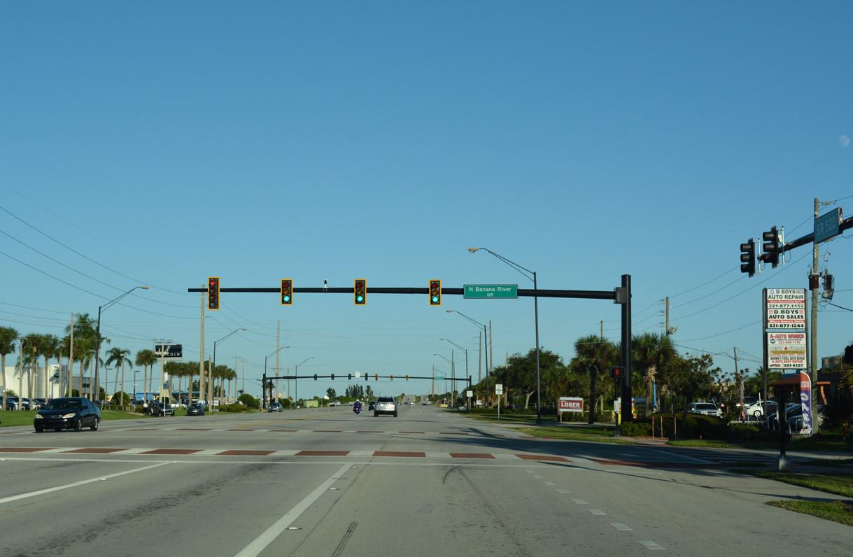
| North Banana River navigates through several canal lined subdivisions from Bennett Causeway (SR A1A/528) to Merritt Island Causeway (SR 520). 10/20/18 |
|
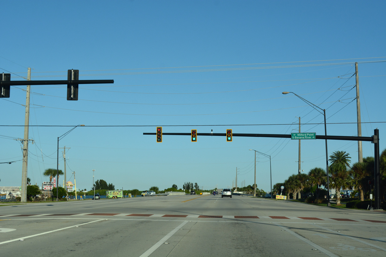
| South Banana River Drive straddles the west side of the Banana River from SR 520 at Milford Point Drive 2.4 miles southward to Angel City and Horti Point. 10/20/18 |
|
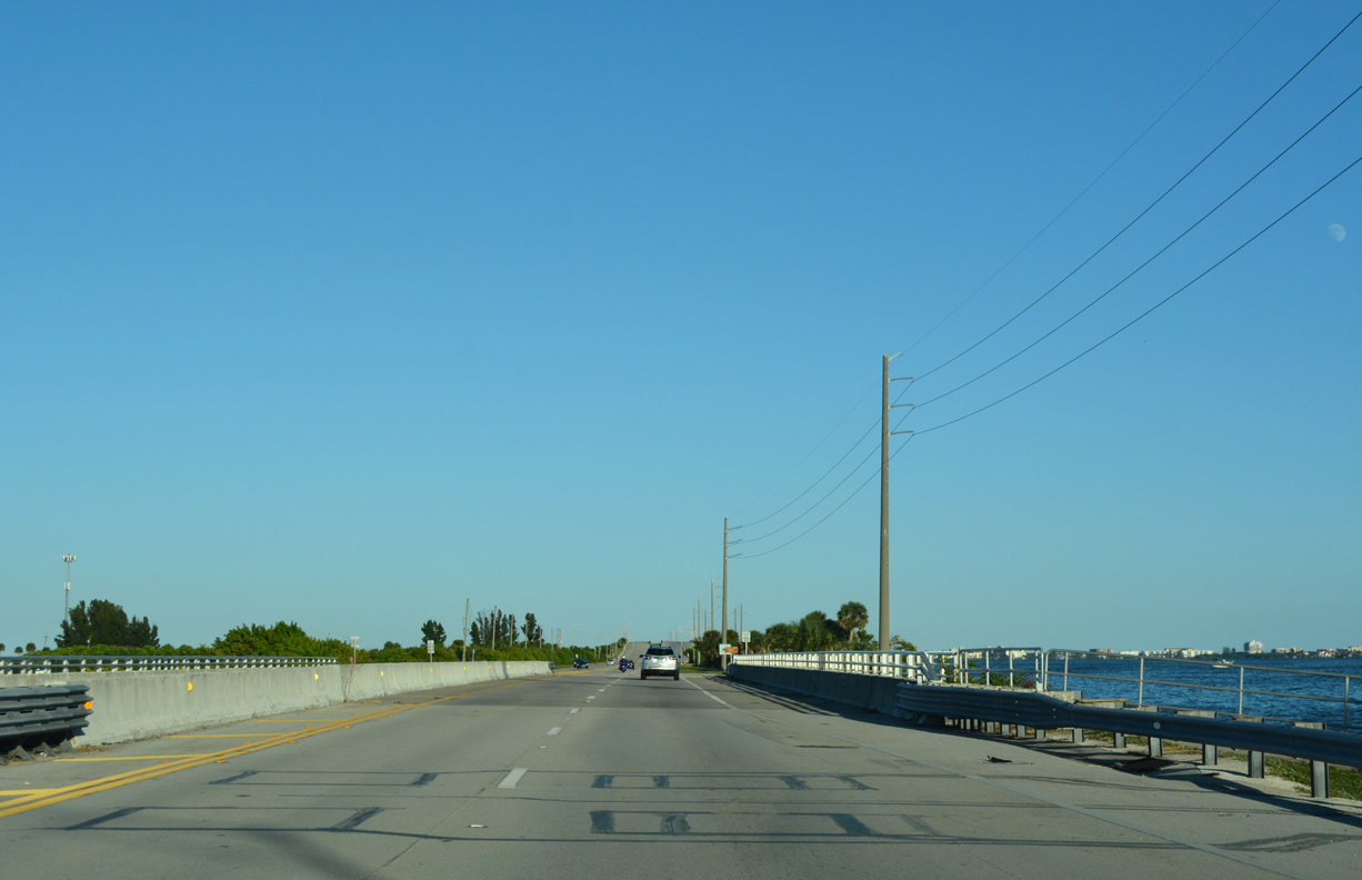
| The easternmost extent of SR 520 follows Cocoa Beach Causeway across the Banana River and into the city of Cocoa Beach. The four lane roadway first crosses the west relief channel bridge. 10/20/18 |
|
| Cocoa Beach Causeway rises to span the Banana River navigation channel on the Willard Peebles Bridge. New bridges were completed here in 2005 for eastbound and 2006 for westbound. 10/20/18 |
|
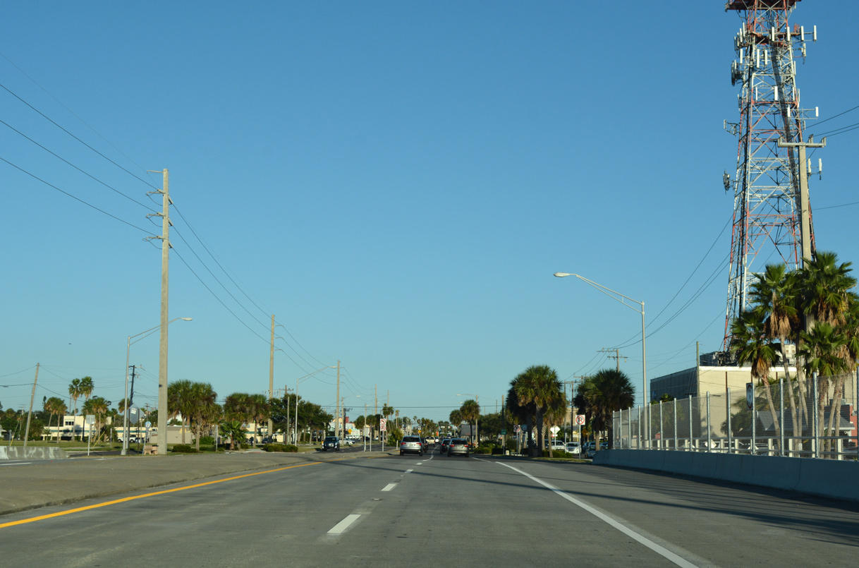
| SR 520 extends another two miles east along Cocoa Beach Causeway to the barrier island along the Atlantic Ocean. 10/20/18 |
|
| A parking area and boat ramp at Constitution Bicentennial Park lies on the south side of Cocoa Beach Causeway ahead of Cape Canaveral Hospital. 10/20/18 |
|
| A SR 520 reassurance shield stands by the signalized entrance to Cape Canaveral Hospital. 10/20/18 |
|
| Crossing the east Banana River relief channel bridge, SR 520 (Cocoa Beach Causeway) reaches the city of Cocoa Beach. 10/20/18 |
|
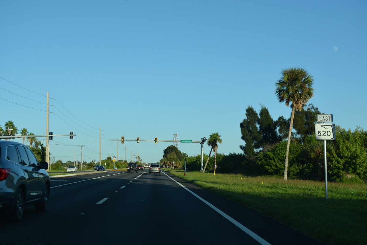
| North Banana River Boulevard south and Belt Road north converge with Cocoa Beach Boulevard from residential areas and condominium communities beyond the business district along SR 520. 10/20/18 |
|
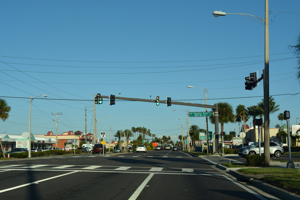
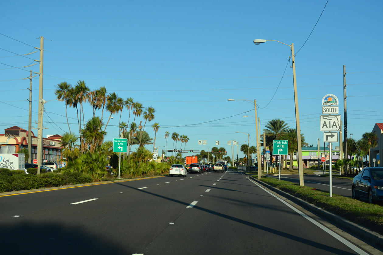
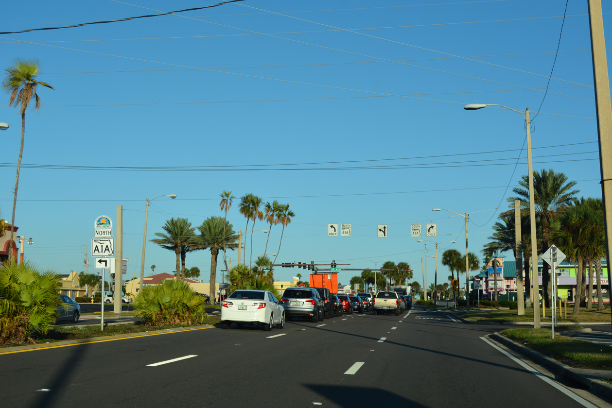
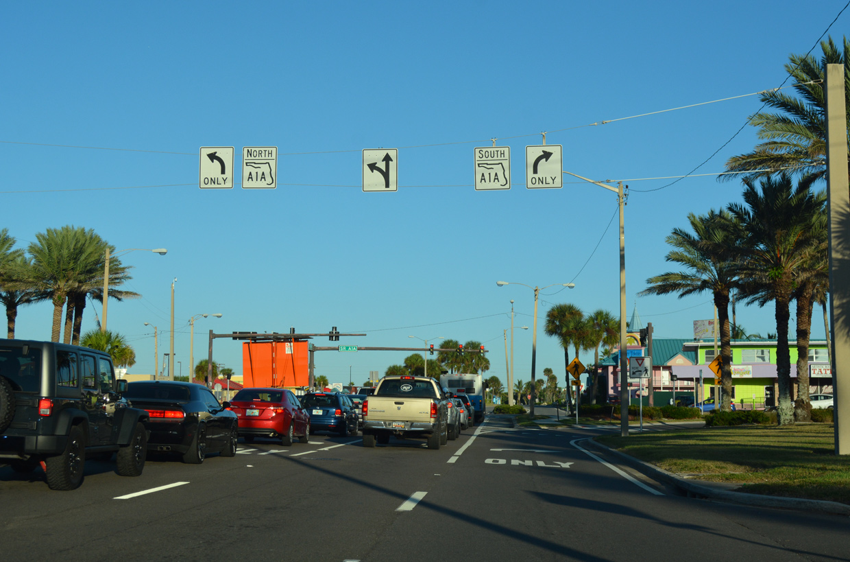
| SR 520 concludes at SR A1A (Atlantic Avenue). Cocoa Beach Causeway extends a short distance further to Shepard Park along the Atlantic Ocean. 10/20/18 |
|
| SR A1A (Indian River Lagoon Scenic Byway) joins Patrick Air Force Base with Cape Canaveral Air Station along its course through Brevard County. 10/20/18 |
|
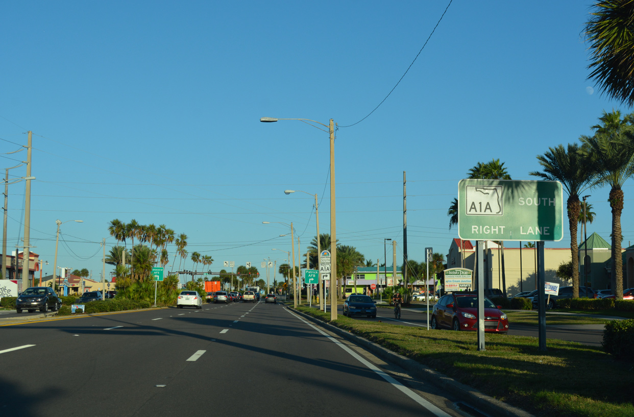
| Atlantic Avenue leads SR A1A north 1.5 miles into the Cape Canaveral city limits. Traveling south through Cocoa Beach, SR A1A partitions into a one way couplet to unincorporated South Cocoa Beach. 10/20/18 |
|
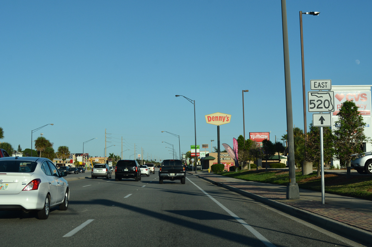
| Construction finished in Spring 2020 reconfigured the intersection joining SR 520 (Cocoa Beach Causeway) with SR A1A (Atlantic Avenue). Free flow right turn lanes from SR 520 east to SR A1A south and from SR A1A south to SR 520 west were eliminated to make way for pedestrian improvements. 10/20/18 |
Page Updated 05-28-2020.

 East
East