|
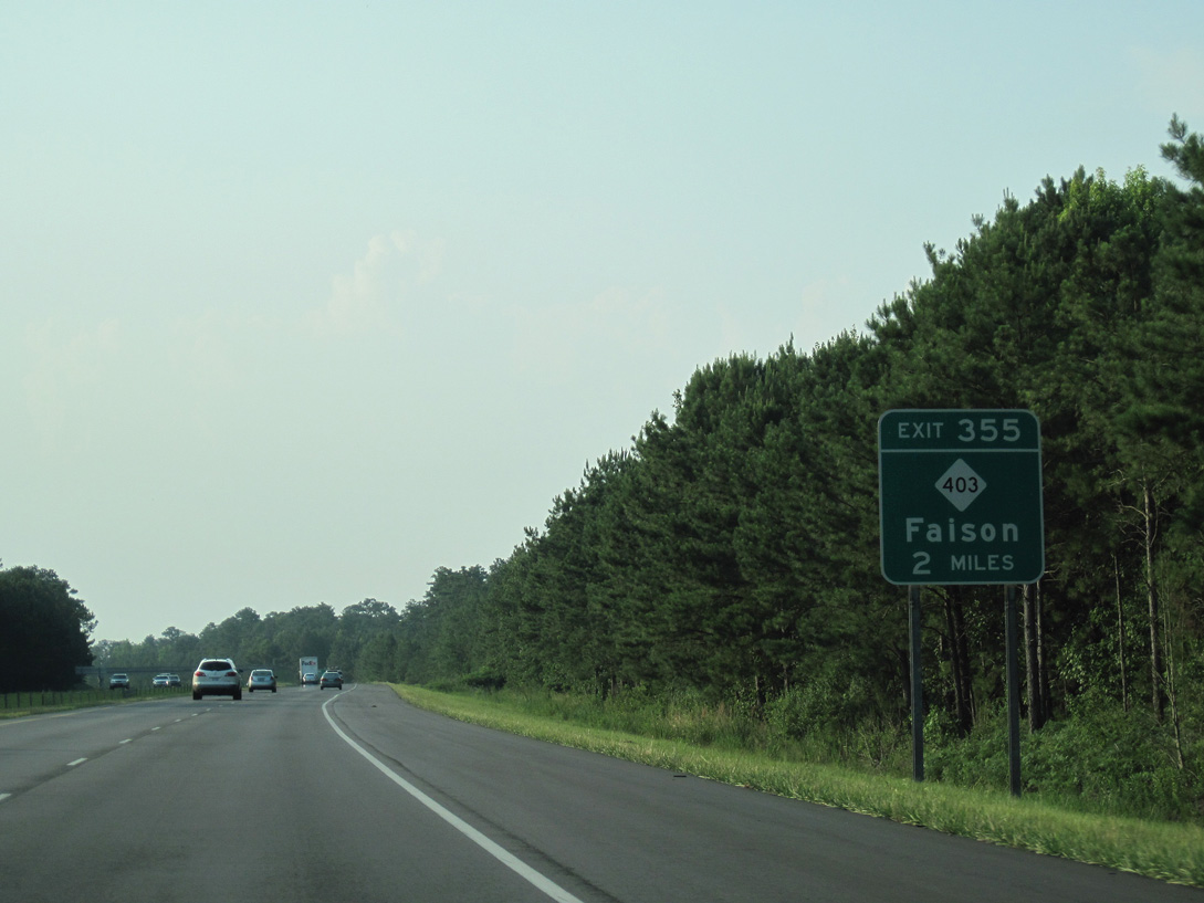
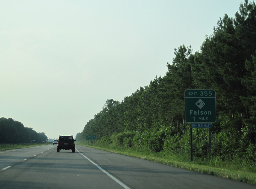
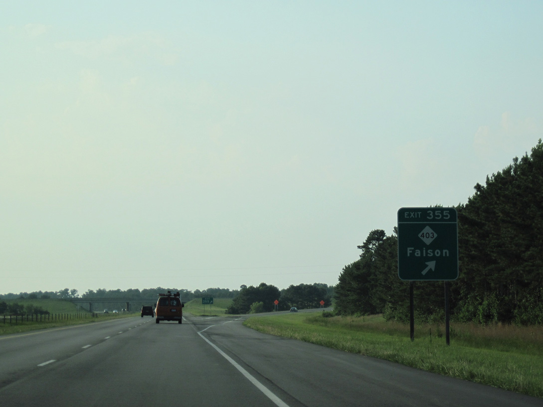
| Heading 4.48 miles north into Sampson County, Interstate 40 parallels the Duplin County line to a diamond interchange (Exit 355) with U.S. 117 Connector north and NC 403 (Faison Highway). 06/24/10 |
|
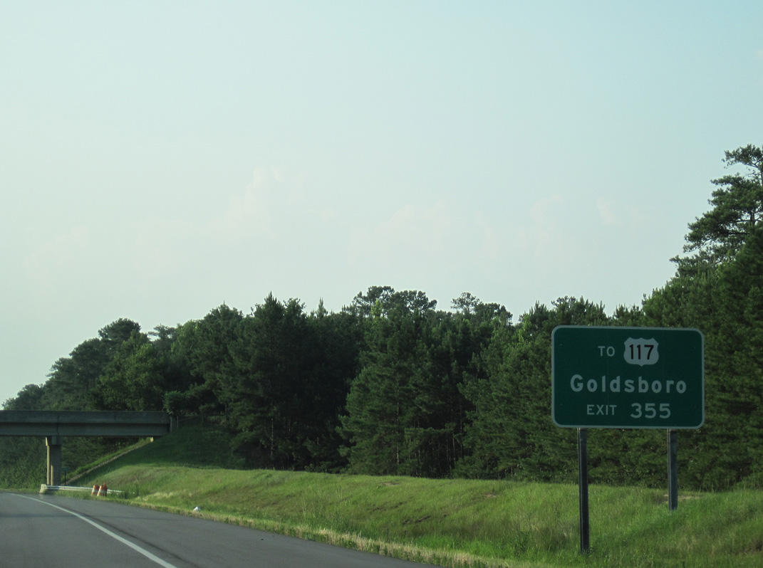
| U.S. 117 Connector constitutes a four lane expressway traveling northeast 5.30 miles from Exit 355 to U.S. 117 on the outskirts of Calypso. U.S. 117 north to Goldsboro is part of the planned southern extension of Interstate 795. 06/24/10 |
|
| NC 403 branches east from U.S. 117 Connector 1.91 miles to a short overlap with NC 50 at the town of Faison. 06/24/10 |
|
| Exit 355 leaves I-40 westbound for NC 403 (Faison Highway) and U.S. 117 Connectorr. NC 403 leads southwest 11 miles to the county seat of Clinton. Mount Olive lies nine miles to the northeast along the U.S. 117 expressway (future I-795). 06/24/10 |
|
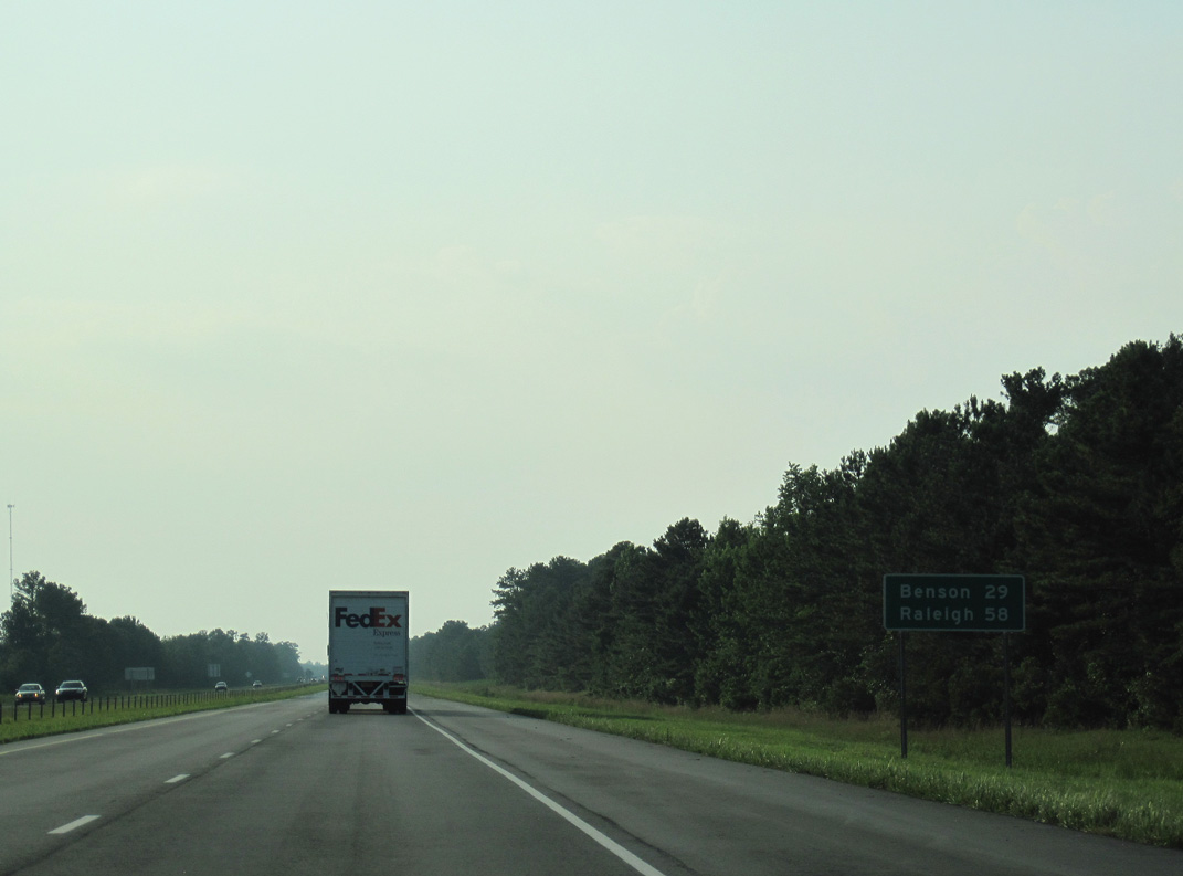
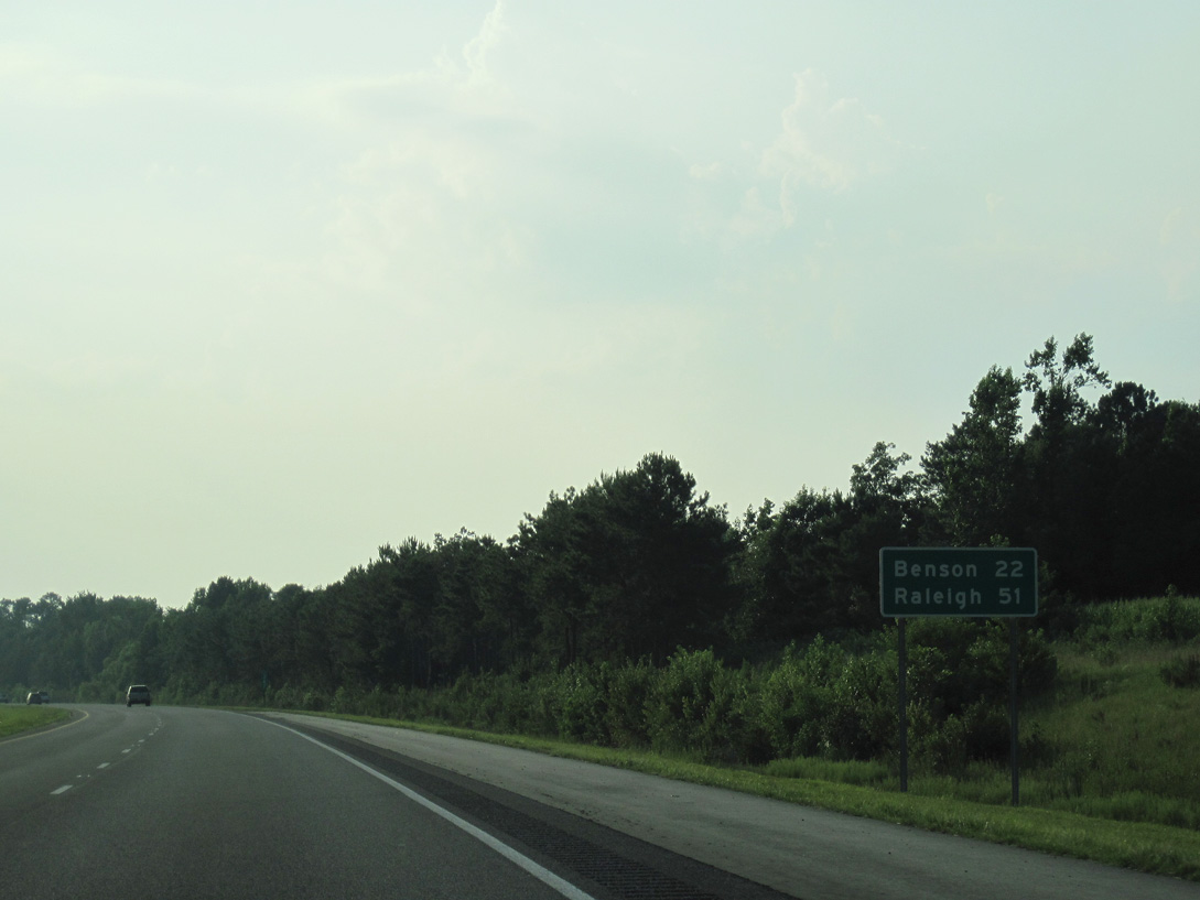
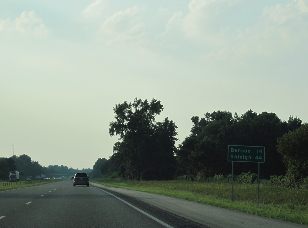
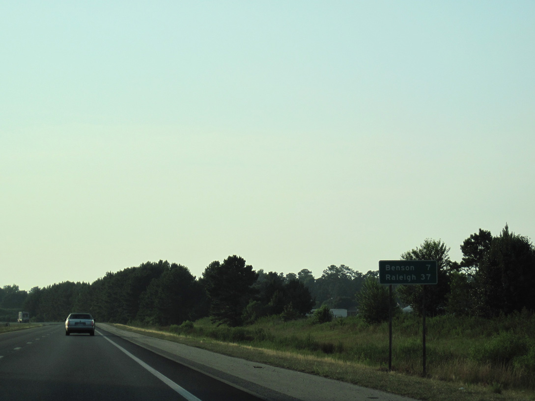
| Distance sign 29 miles southeast of Benson and 58 miles from Raleigh. 06/24/10 |
|
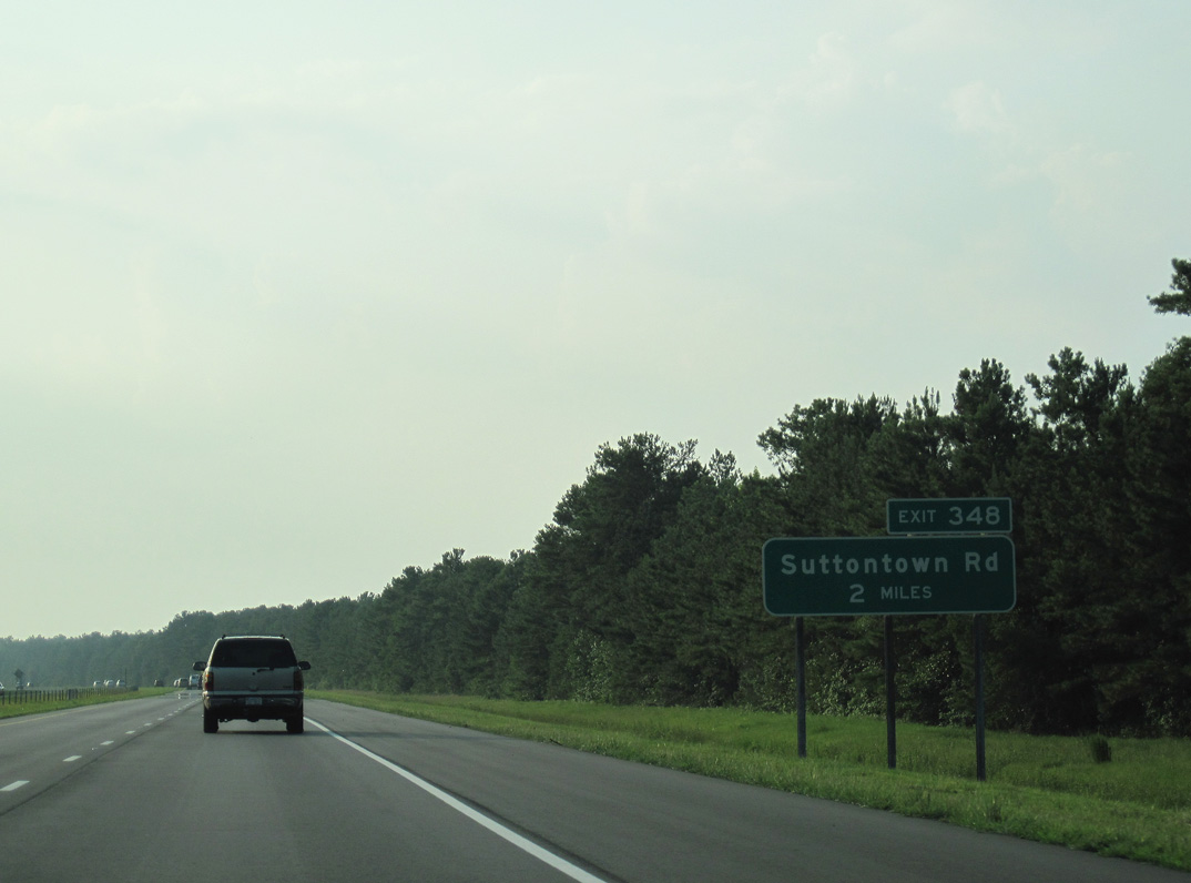
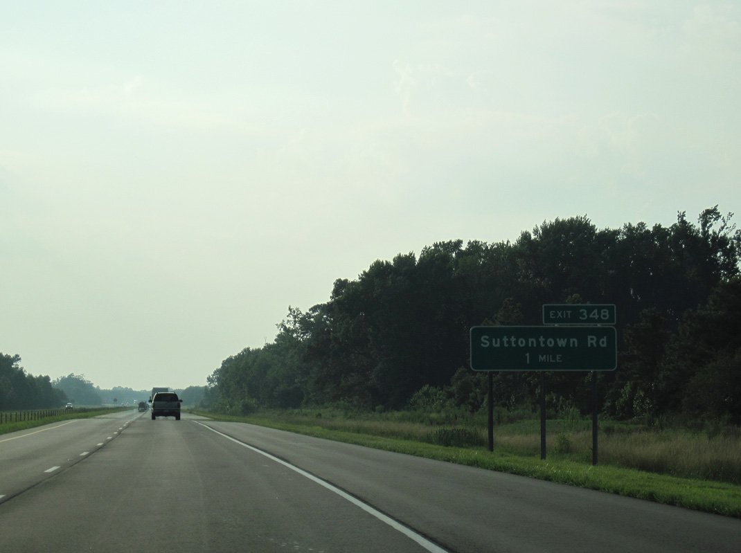
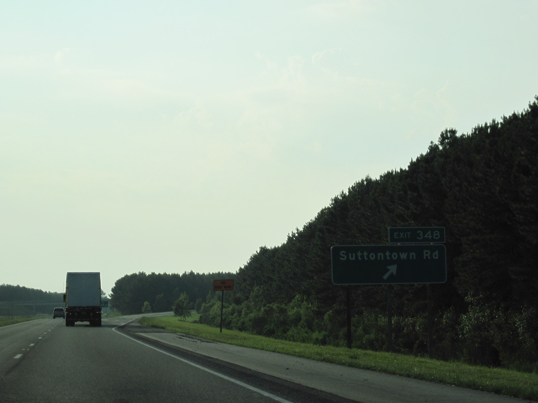
| Continuing 7.38 miles northwest, Interstate 40 next meets Suttontown Road (Exit 348). 06/24/10 |
|
| Suttontown Road (SR 1722) leads 2.68 miles east from the diamond interchange at Exit 348 to NC 50 at Suttontown. NC 50 continues from there 1.54 miles to Dobbersville and NC 55. 06/24/10 |
|
| West of Exit 348, Suttontown Road (SR 1722) meanders 2.87 miles to U.S. 701 at Hobbton. 06/24/10 |
|
| Interstate 40 plies westward across Craddock Swamp and Kill Swamp over the ensuing 4.67 miles to U.S. 701. Benson lies 18 miles further, followed by Raleigh in 51 miles. 06/24/10 |
|
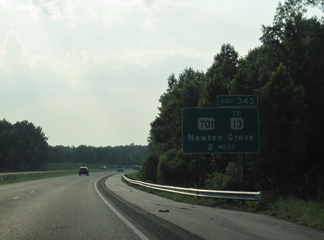
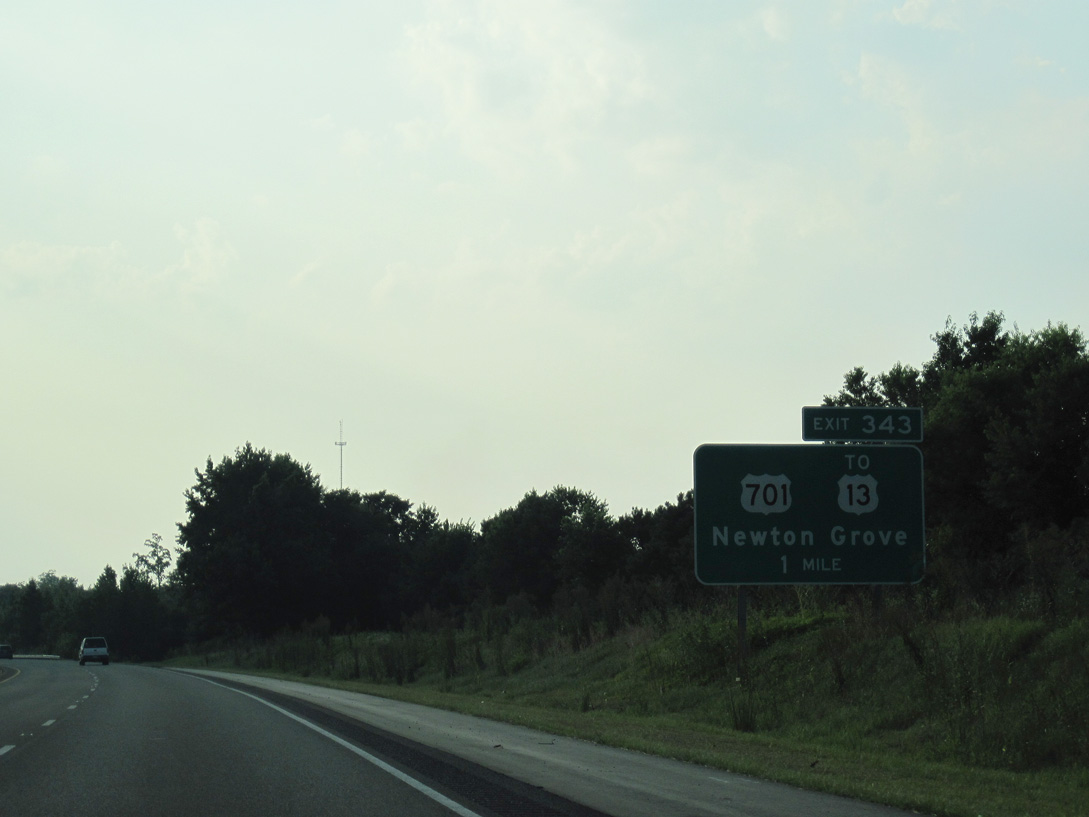
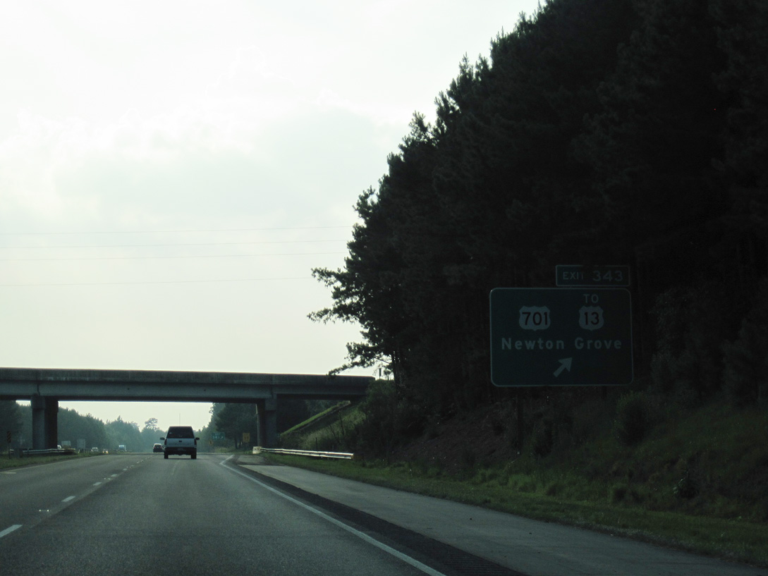
| U.S. 701 travels 13.09 miles from the freeway bypass around the west side of Clinton to Interstate 40 outside of Newton Grove. The highway continues north from town to I-95 and U.S. 301 at Four Oaks. U.S. 13 ventures east from Newton Grove to U.S. 117 at Goldsboro. 06/24/10 |
|
| U.S. 13 enters Newton Grove from the Fayetteville area to the southwest. There is no direct connection between the highway and Interstate 40, therefore motorists are directed northward via U.S. 701 to reach U.S. 13 (Fayetteville Street). 06/24/10 |
|
| A folded diamond interchange joins Interstate 40 with U.S. 701 outside of Newton Grove. The rural town lies at the crossroads of two U.S. highways and two state routes. A traffic circle joins the four routes. 06/24/10 |
|
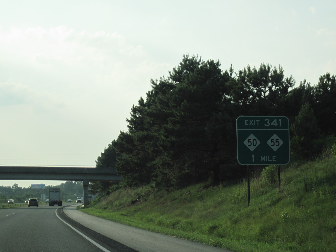
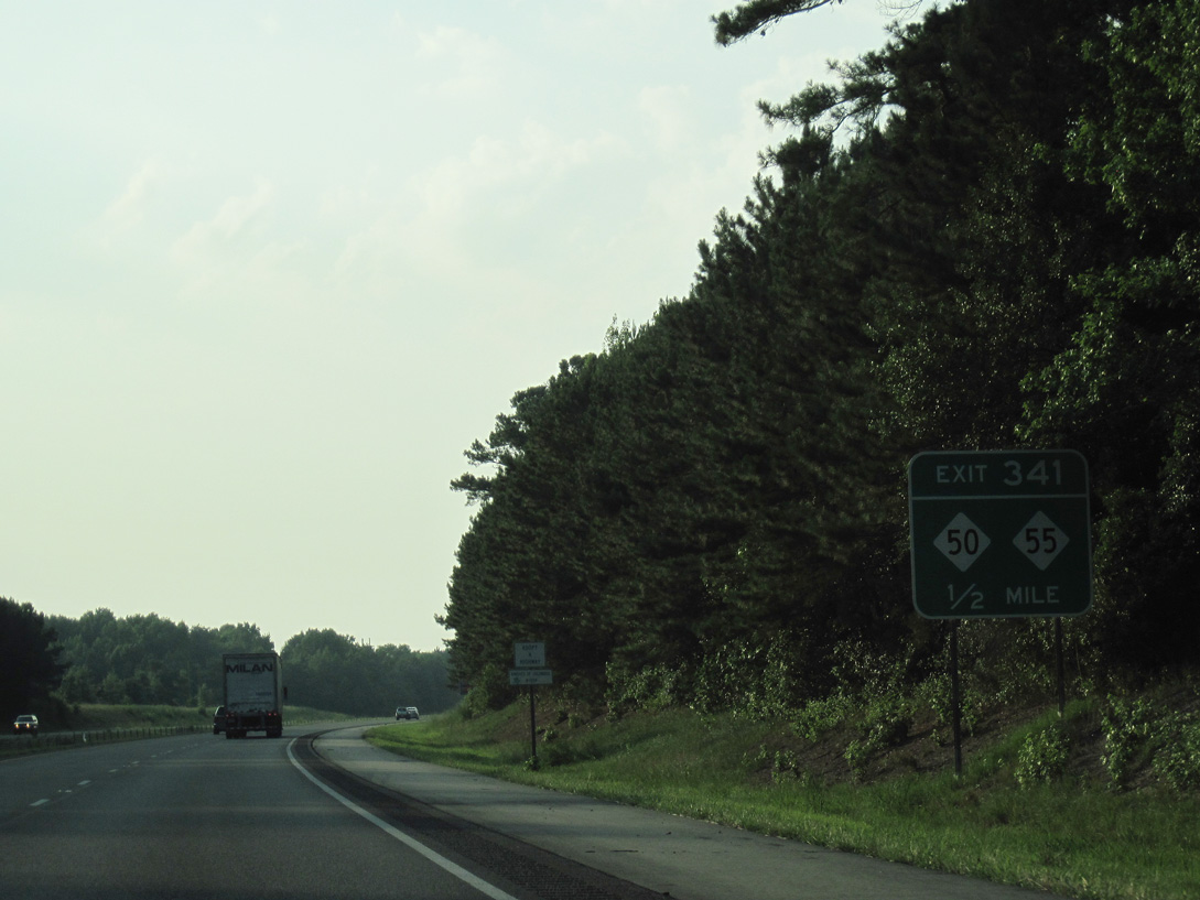
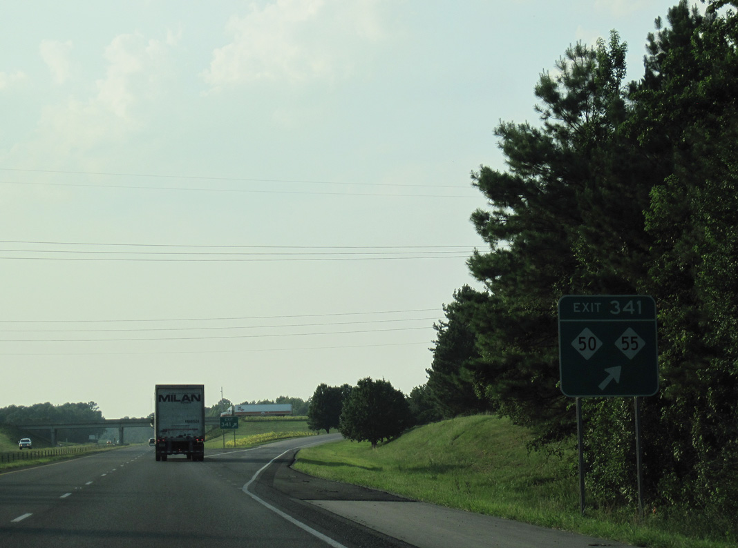
| U.S. 13 (Newton Grove Highway) passes over Interstate 40 one mile south of Exit 341. NC 50/55 (Raleigh Street) converges with the freeway 1.07 miles west from the Newton Grove traffic circle. 06/24/10 |
|
| Interstate 40 meets I-95 in 12.5 miles outside the town of Benson and I-440 at Raleigh in 39.5 miles, 06/24/10 |
|
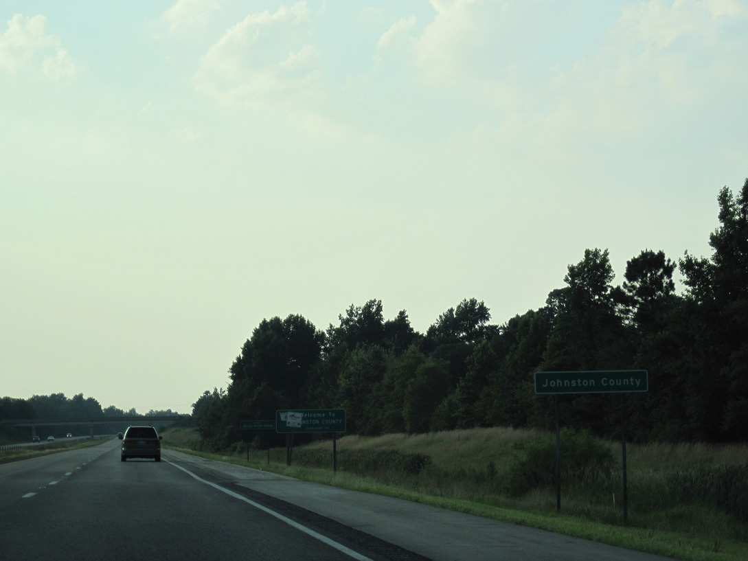
| A 7.42 mile exit less stretch takes motorists along I-40 westbound into Johnston County. 06/24/10 |
|
| One half mile south of the diamond interchange at Exit 341. NC 50/55 overlap 8.2 miles from Dobbersville to Johnston Highway, 0.26 miles west of I-40. 06/24/10 |
|
| NC 55 continues west 13.9 miles from Interstate 40 to U.S. 421 at Dunn. NC 50 parallels I-40 northwest 13 miles to I-95 at Benson. 06/24/10 |
|
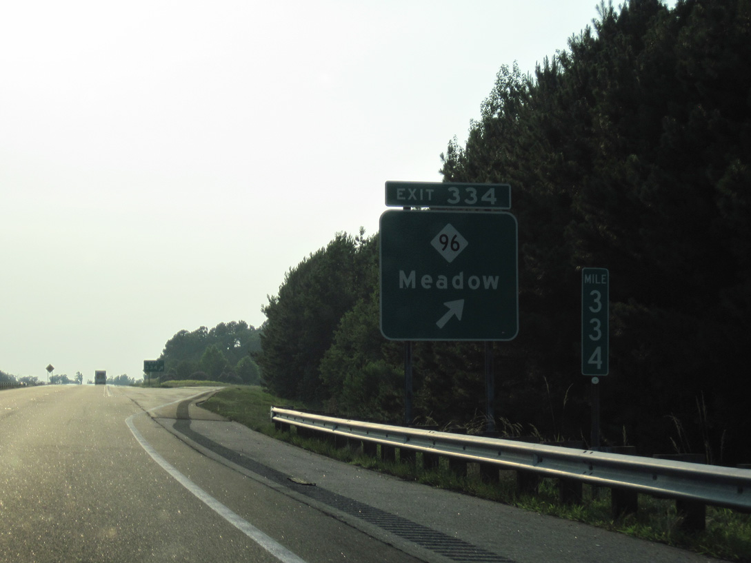
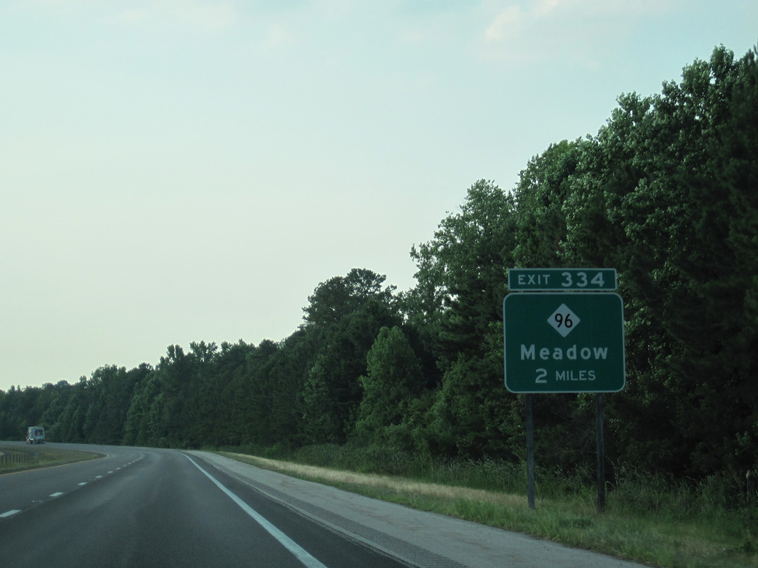
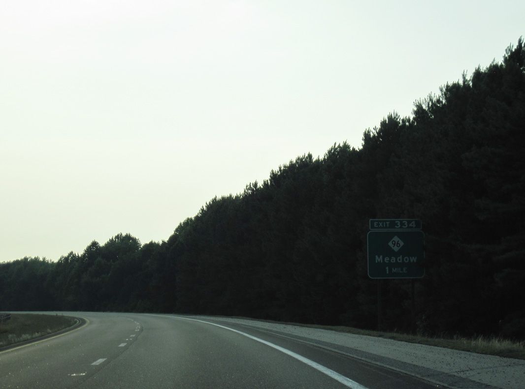
| Entering the diamond interchange (Exit 334) with NC 96 near the settlement of Meadow and NC 50. 06/24/10 |
|
| Interstate 40 curves west alongside Johnson Swamp on the two mile approach to Exit 334 with NC 96. 06/24/10 |
|
| NC 96 starts 5.35 miles to the south at NC 55 just across the Sampson County line. The 112 mile route merges with U.S. 301 from Smithfield to Selma on its northward course to Virginia 96. 06/24/10 |
|
| Interstate 40 progresses northwest seven miles to Benson and 37 miles to Raleigh. 06/24/10 |
|
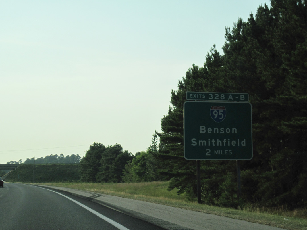
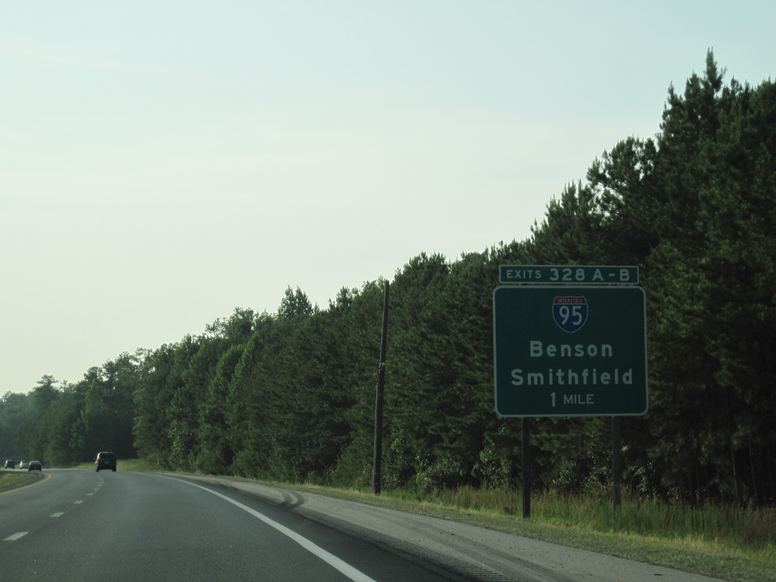
| Two miles southeast of Interstate 95 outside of Benson. I-95, East Coast's Main Street, travels a mostly rural alignment through North Carolina, serving such regional cities as Lumberton, Fayetteville, Wilson and Rocky Mount. 06/24/10 |
|
| Interstate 95 locally travels to Smithfield, Selma (U.S. 70), Benson and Dunn (U.S. 421). U.S. 301 mirrors the freeway's course through the respective towns and city. 06/24/10 |
|
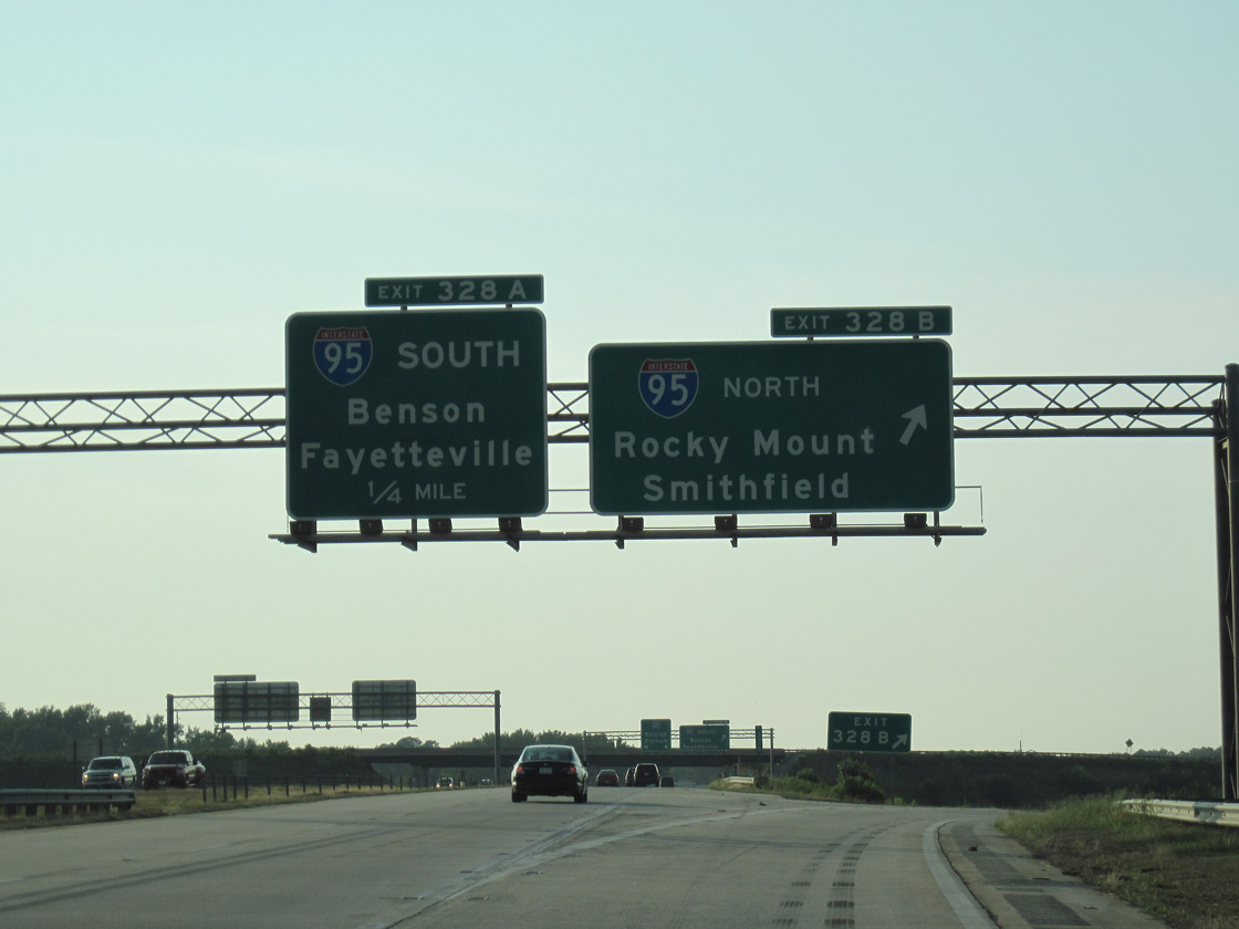
| Exit 328B departs Interstate 40 west for Interstate 95 north to Rocky Mount, Richmond, and Washington, DC. The directional cloverleaf interchange between the two freeways was completed in 1988. 06/24/10 |
|
| Passing over the CSX Railroad, 1.25 miles ahead of NC 242 (Exit 325) on I-40 west. 02/15/19 |
|
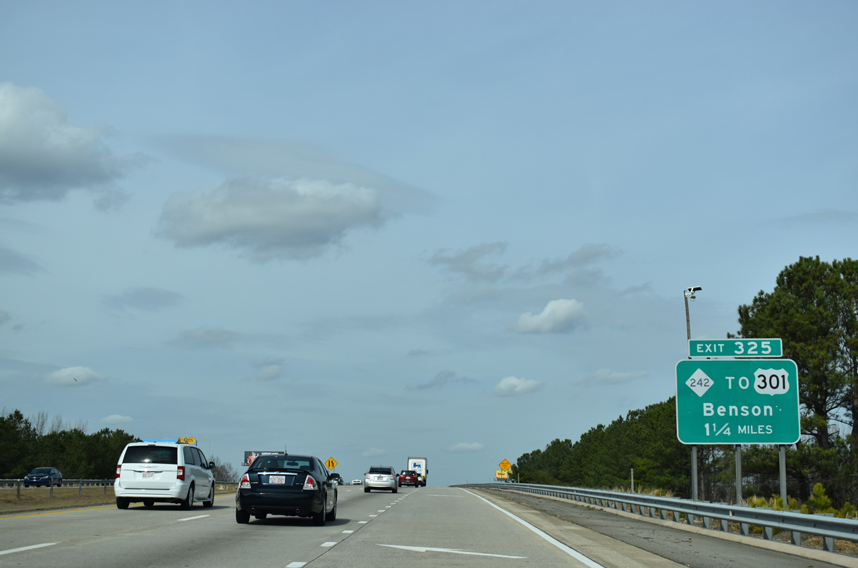
| There is no direct access to U.S. 301 from I-40 due to the close proximity of Interstate 95. Motorists bound for U.S. 301 (Wall Street) through Benson are directed onto NC 242 (Federal Road) south. 02/15/19 |
|
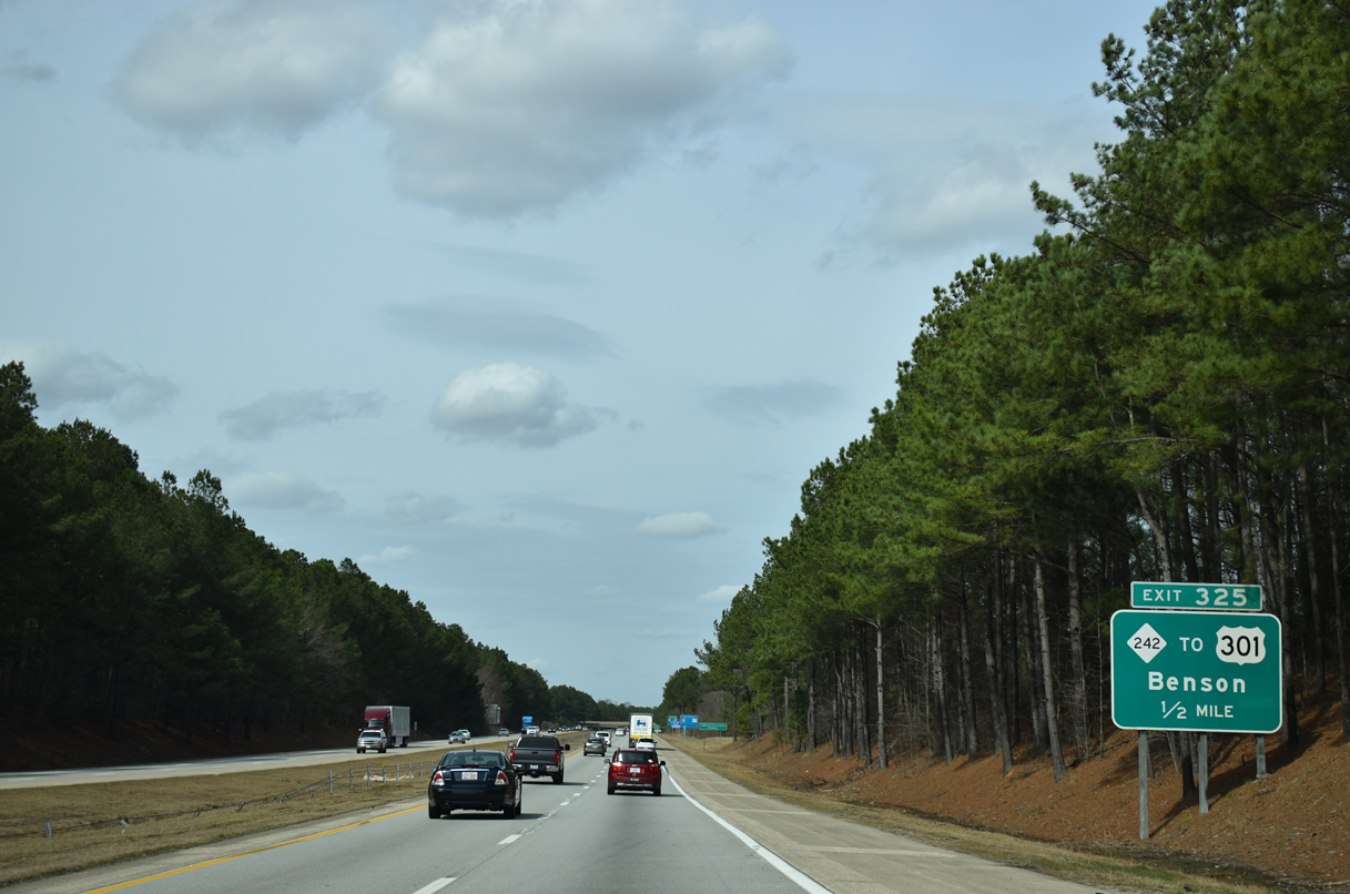
| NC 242 ends at a diamond interchange (Exit 325) with I-40. SR 1356 (Woodall Dairy Road) extends east from the exchange to Raleigh Road (SR 1330) south to U.S. 301. NC 242 continues through Benson with U.S. 301 first and then NC 50 to Spivey's Corner. 02/15/19 |
|
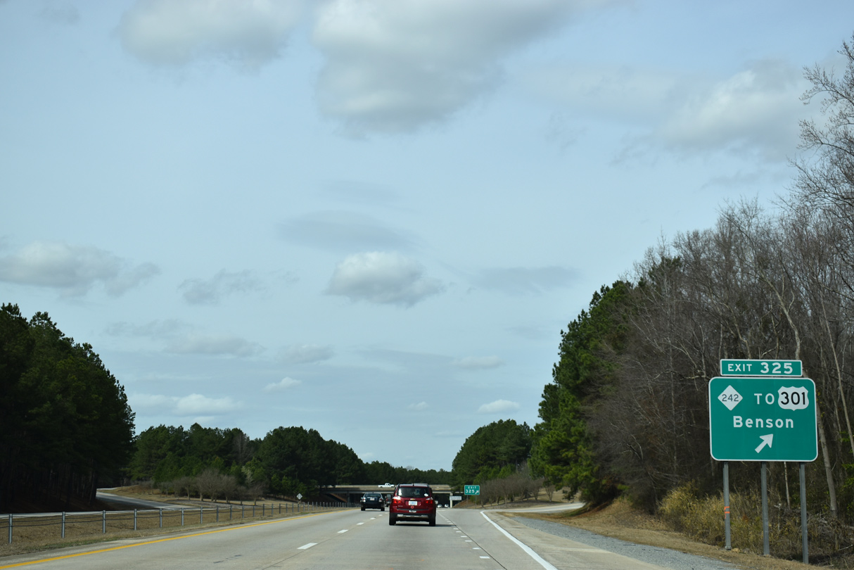
| Interstate 40 reassurance marker posted after Exit 325. 02/15/19 |
|
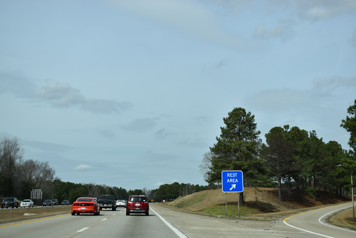
| Rest areas line both sides of Interstate 40 a half mile north of NC 242. 02/15/19 |
|
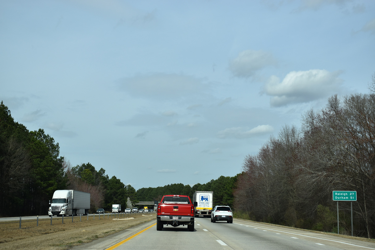
| Durham joins Raleigh on the westbound distance sign posted after the rest area. Elevation Road (SR 1308) passes over I-40 in the distance. 02/15/19 |
|
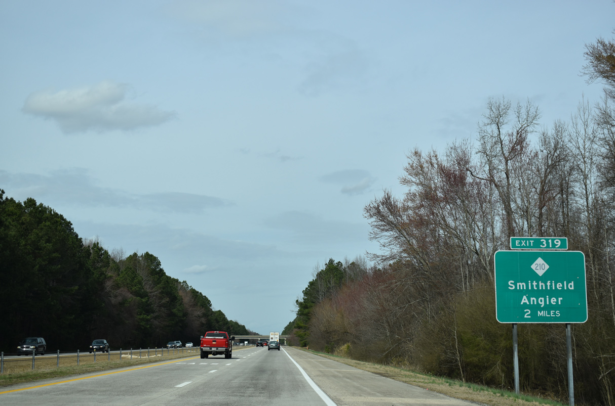
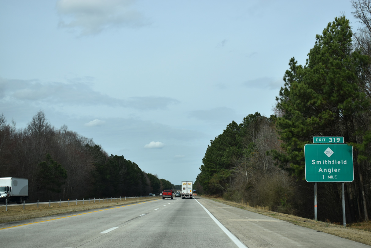
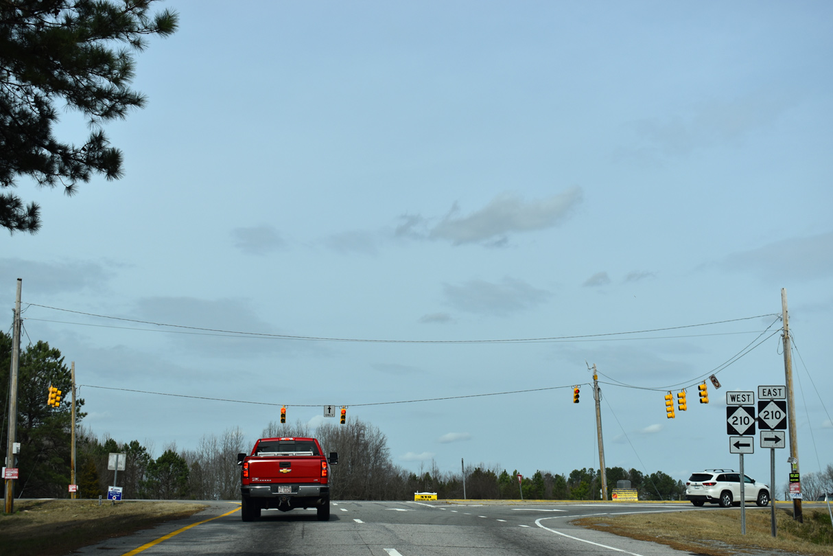
| NC 210 crosses paths with Interstate 40 midway between Smithfield and Angier. 02/15/19 |
|
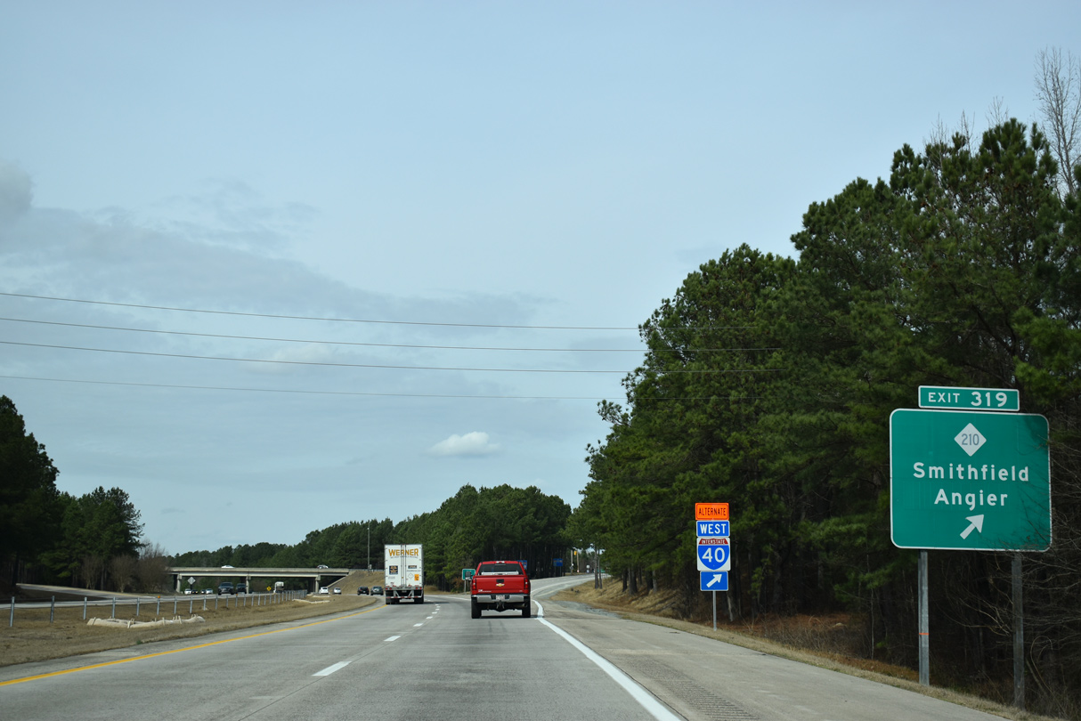
| NC 210 and NC 50 meet 1.31 miles west of the diamond interchange (Exit 319) with I-40 at McGee Crossroads. 02/15/19 |
|
| Westbound I-40 at Exit 319. NC 210 heads 11.06 miles east to Smithfield, the Johnston County seat, and 10.7 miles west to NC 55 in Angier. 02/15/19 |
|
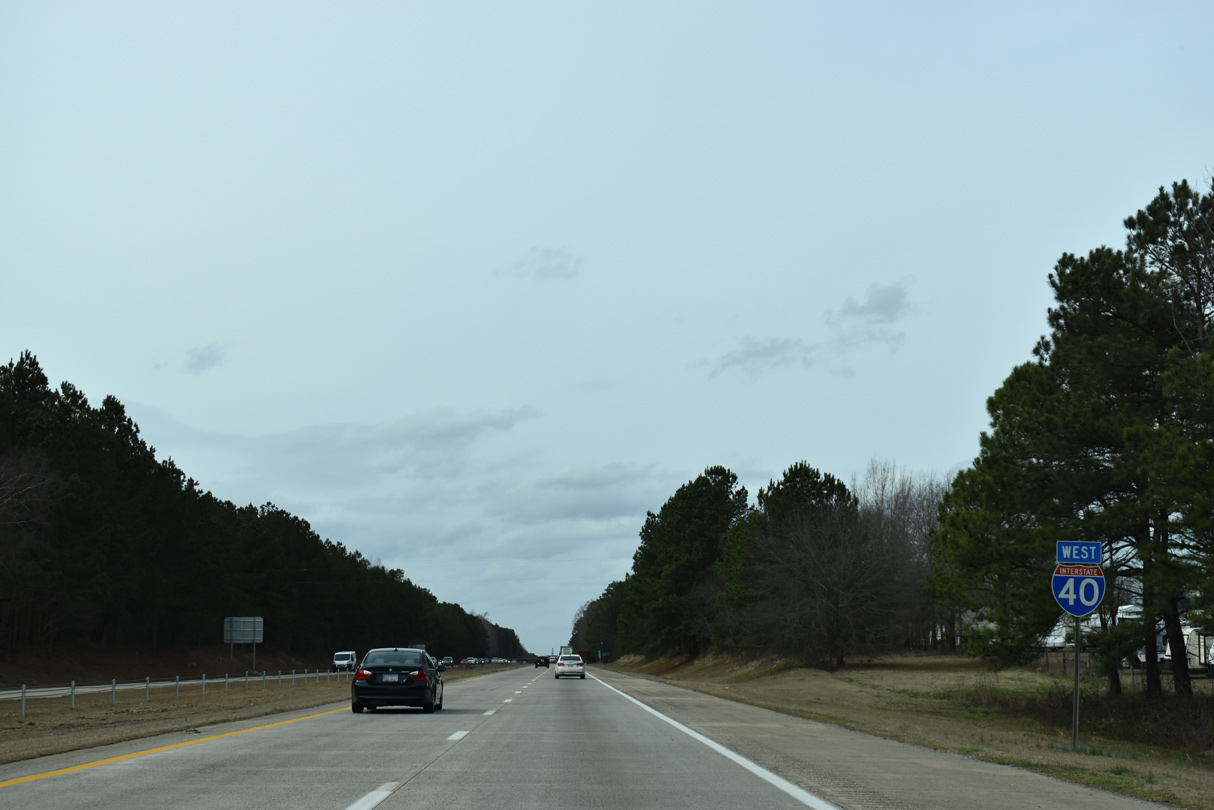
| Interstate 40 remains northward 21 miles to the capital city of Raleigh. 02/15/19 |
|
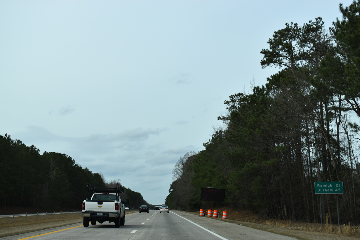
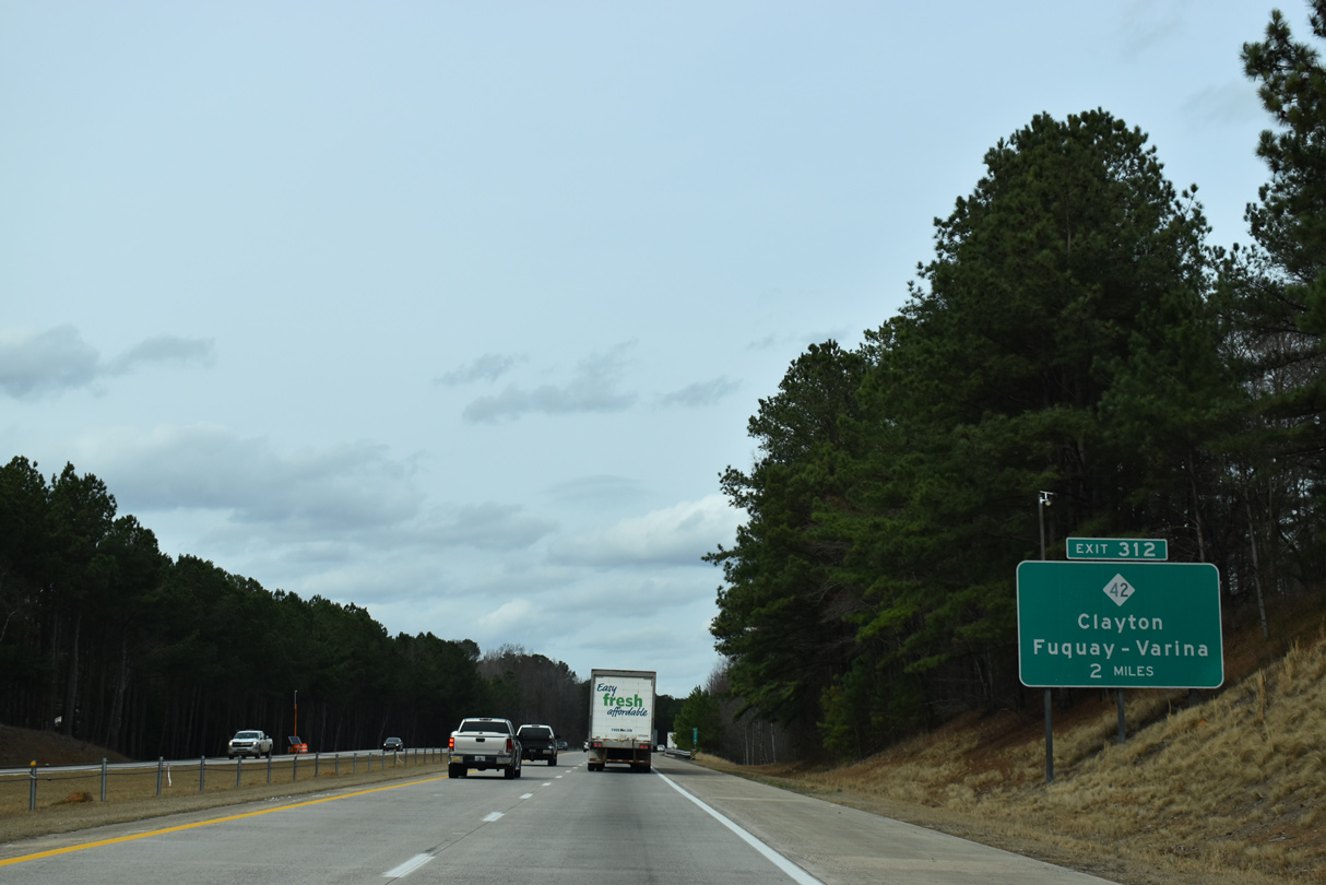
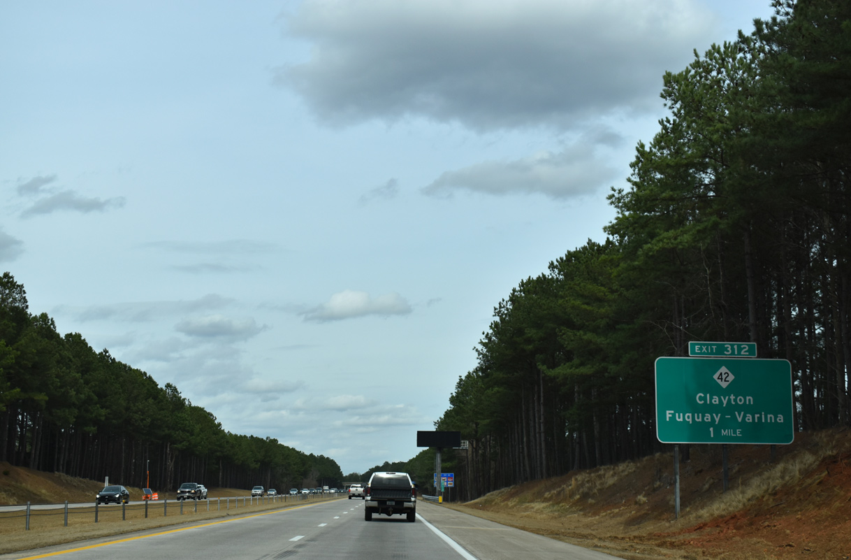
| Advancing north from Middle Creek into suburban areas south of Garner, I-40 meets NC 42 at a parclo interchange (Exit 312) next. 02/15/19 |
|
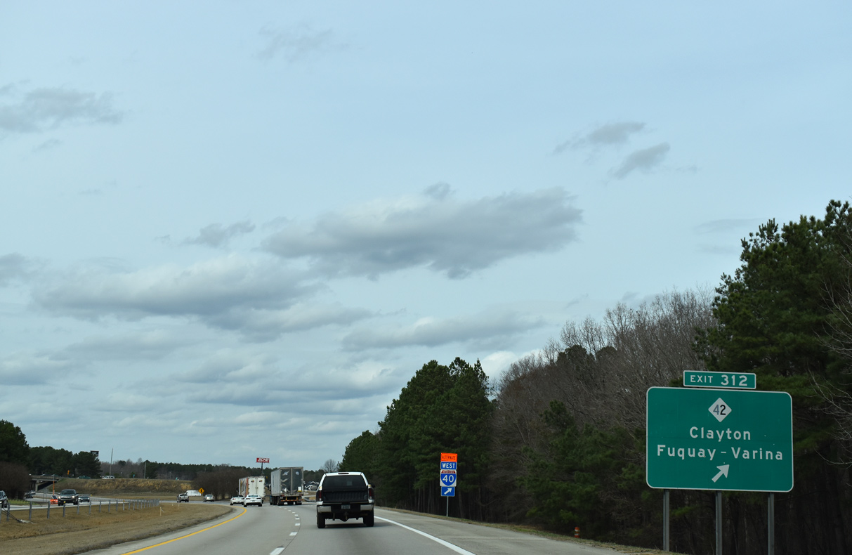
| Business and industrial parks surround both sides of I-40 at Exit 312. NC 42 provides a direct route between the city of Clayton and Fuquay-Varina. The 226 mile route stretches between Asheboro and Colerain. 02/15/19 |
|
| NC 42 heads 3.27 miles east from I-40 to U.S. 70 (Future I-42) outside Clayton and 37 miles to Wilson. NC 42 west combines with U.S. 401 south through Fuquay-Varina in 11.6 miles. The state route continues from there to Harris Lake and Sanford. 02/15/19 |
|
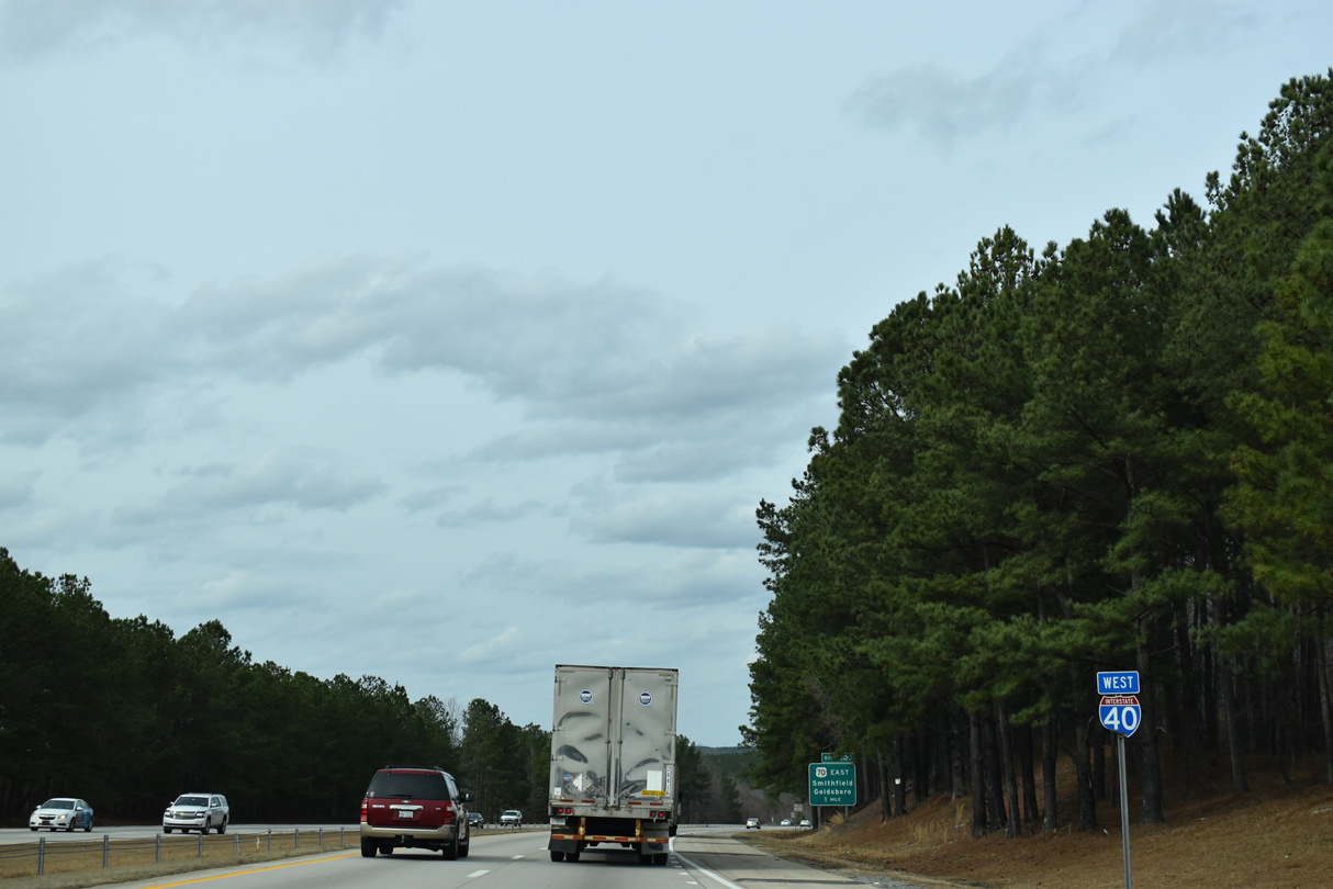
| Crossing Swift Creek, Interstate 40 approaches U.S. 70 / Future I-42 (Clayton Bypass) east. 02/15/19 |
|
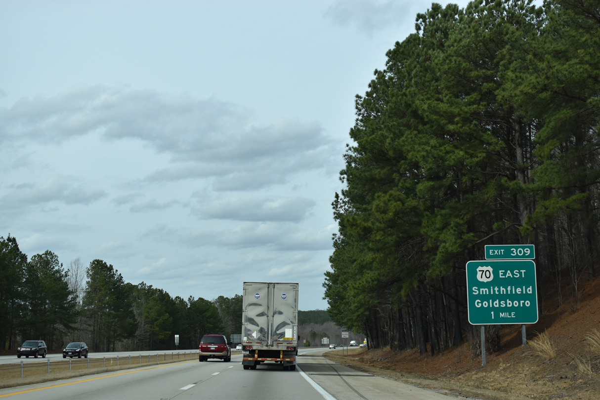
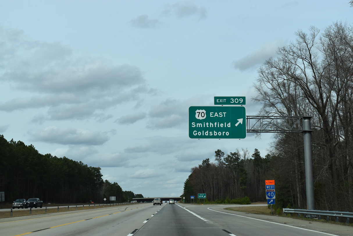
| A trumpet interchange (Exit 309) joins I-40 with U.S. 70 along the Clayton Bypass (Future I-42). 02/15/19 |
|
| Opened June 2008, the Clayton Bypass is part of Future I-42 taking U.S. 70 east from Interstate 40 around the city of Clayton to U.S. 70 Business outside of Smithfield. 02/15/19 |
Page Updated 07-15-2020.

 West
West