|
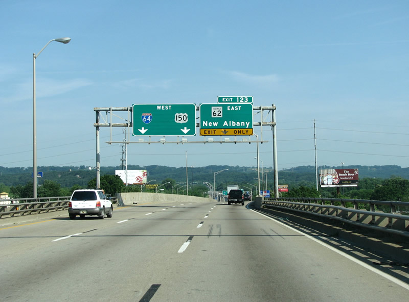
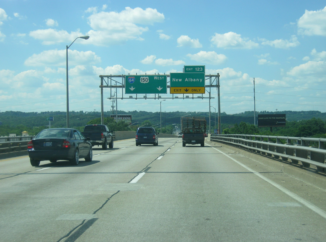
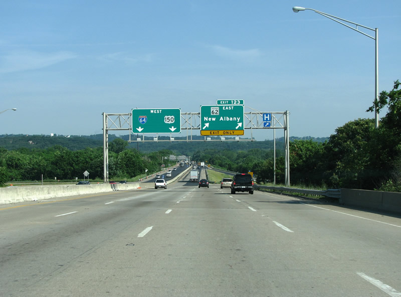
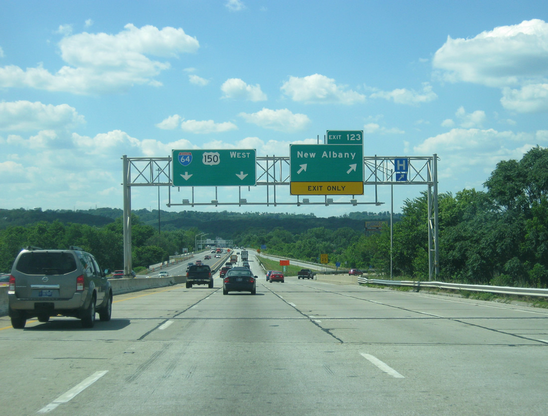
| I-64/U.S. 150 west enter New Albany, Indiana ahead of the Exit 123 off-ramp. Exit 123 connects the Sherman Minton Bridge with Elm Street east to State Street and SR 111 (Main Street) south. SR 62 no longer uses this interchange as the route now follows Interstate 265 and SR 265 north of New Albany, Clarksville, and Jeffersonville. 06/05/08, 06/07/12 |
|
| Welcome to Indiana sign posted at the end of the Sherman Minton Bridge along I-64/U.S. 150 west. 06/05/08 |
|
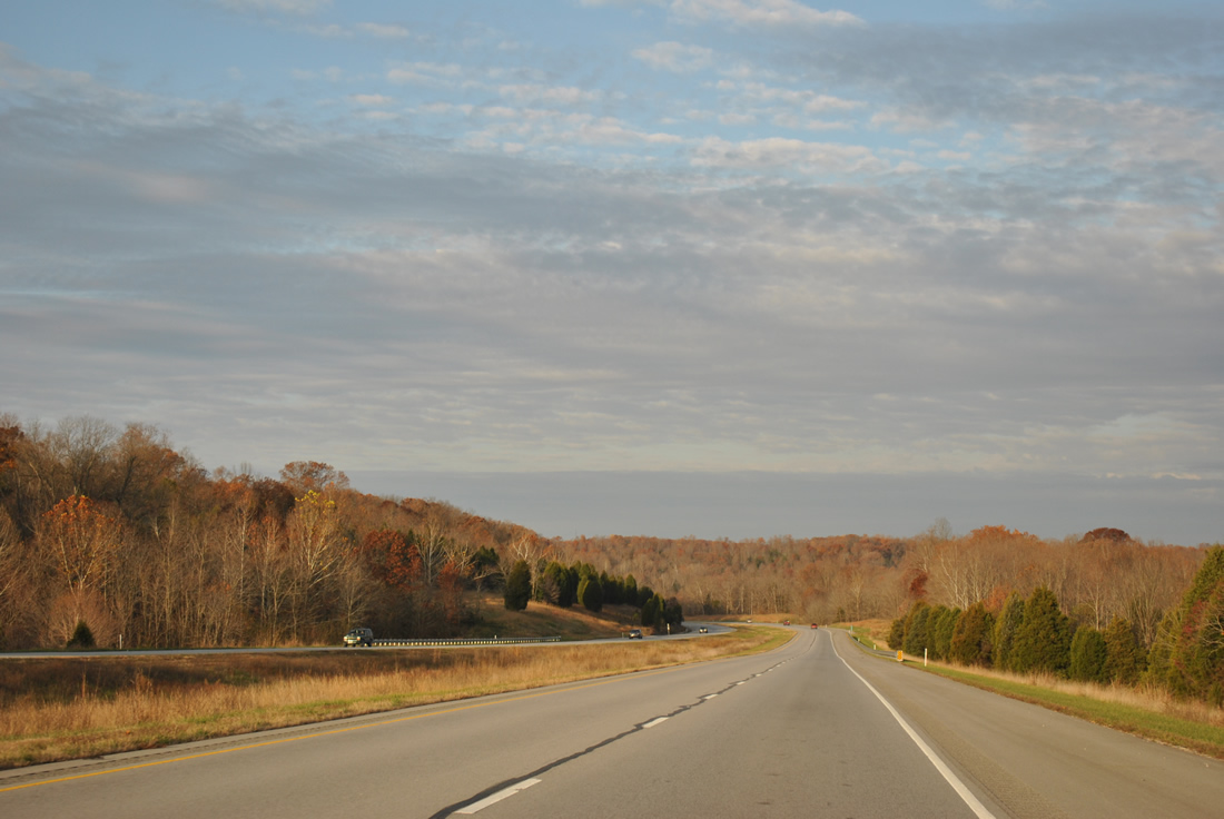
| I-64/U.S. 150 reduce to four overall lanes north of the bridge. Exit 123 departs here for Elm Street east at Scribner Drive. All of SR 111 (Main Street) north of Interstate 64 was turned back to local maintenance by January 2013.2 The former route passes underneath the bridge en route to downtown New Albany. SR 62 originally followed Corydon Pike west from Main Street in New Albany and Spring Street east to Clarksville. 06/05/08, 06/07/12 |
|
| Reassurance markers posted for I-64/U.S. 150 west after Exit 123. 06/07/12 |
|
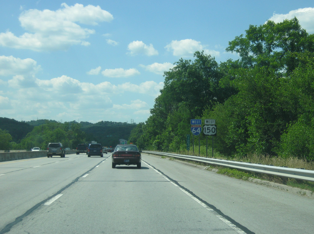
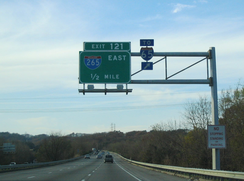
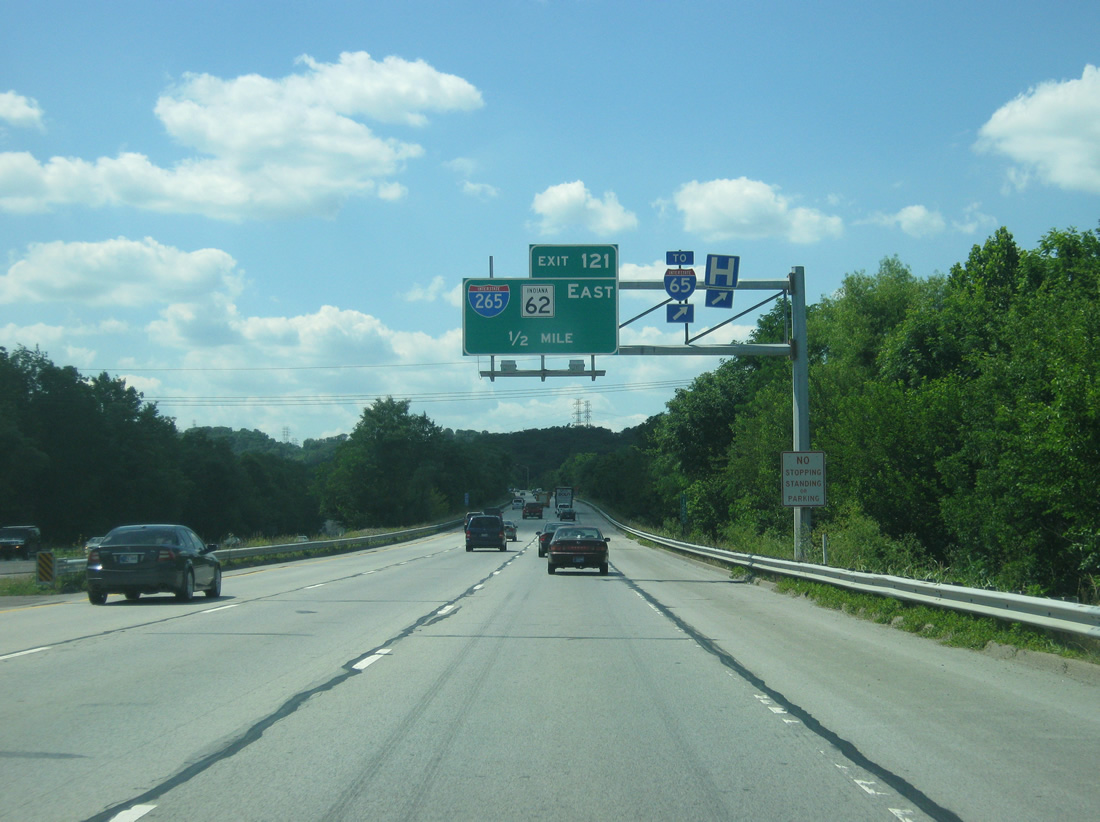
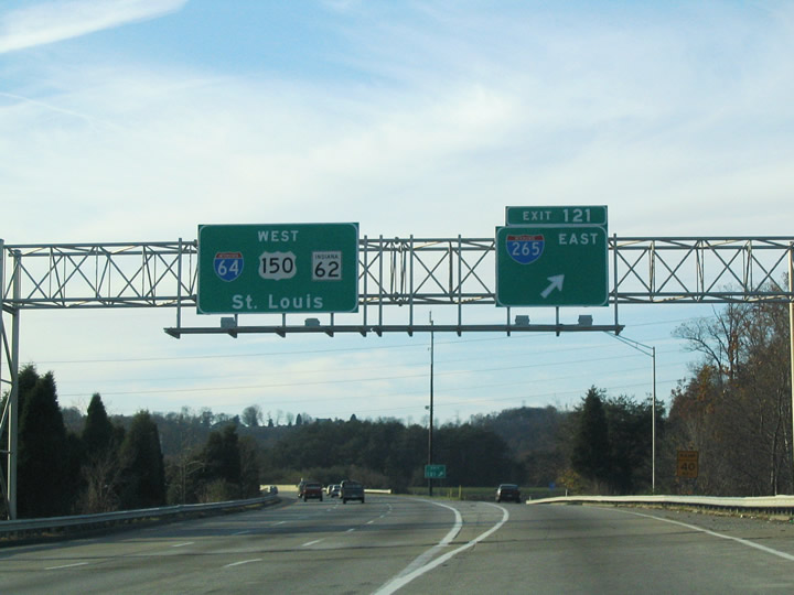
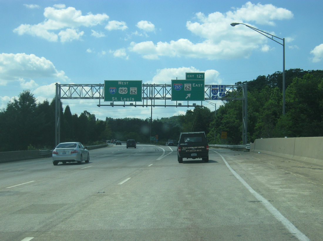
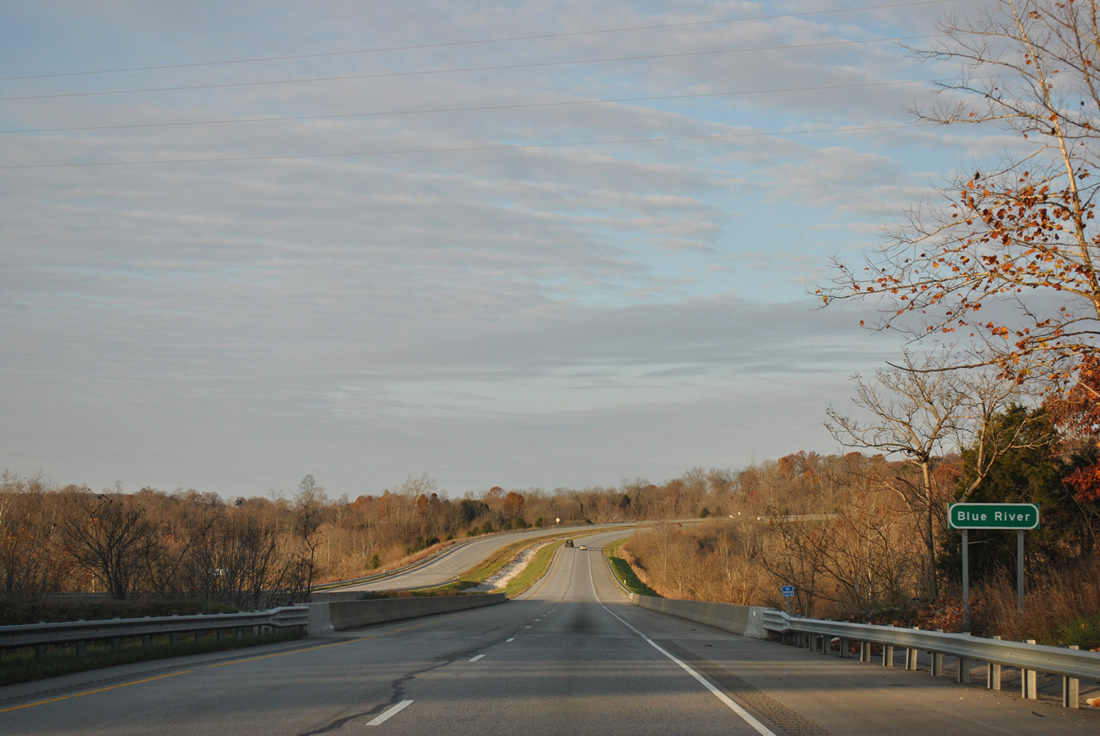
| A directional interchange ties I-64/U.S. 150 west with Interstate 265 east and SR 62 at Exit 121. Interstate 265 provides a bypass route north of New Albany and Clarksville between Interstates 64 and 65. 11/12/04, 06/07/12 |
|
| Exit 121 leaves I-64/U.S. 150 west for I-265/R 62 east. SR 62 joins I-64/U.S. 150 west from Exit 121 to 118 (Edwardsville). Interstate 265 forms a beltway around Louisville southeast with SR 265 and KY 841. 11/12/04, 06/07/12 |
|
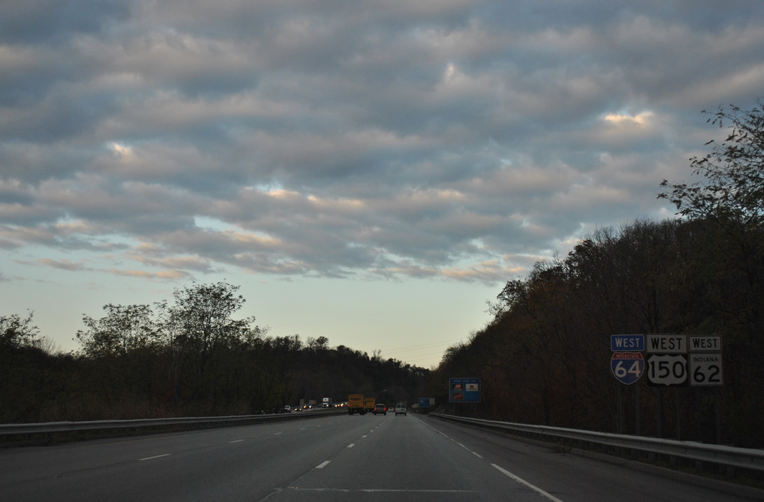
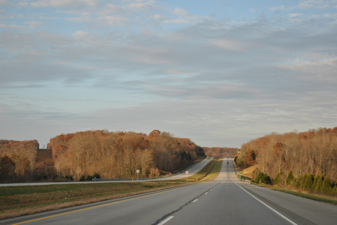
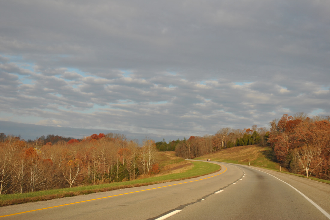
| Reassurance markers posted for Interstate 64, U.S. 150 and SR 62 as the trio rise to cross the Knobstone Escarpment out of New Albany. 11/07/11 |
|
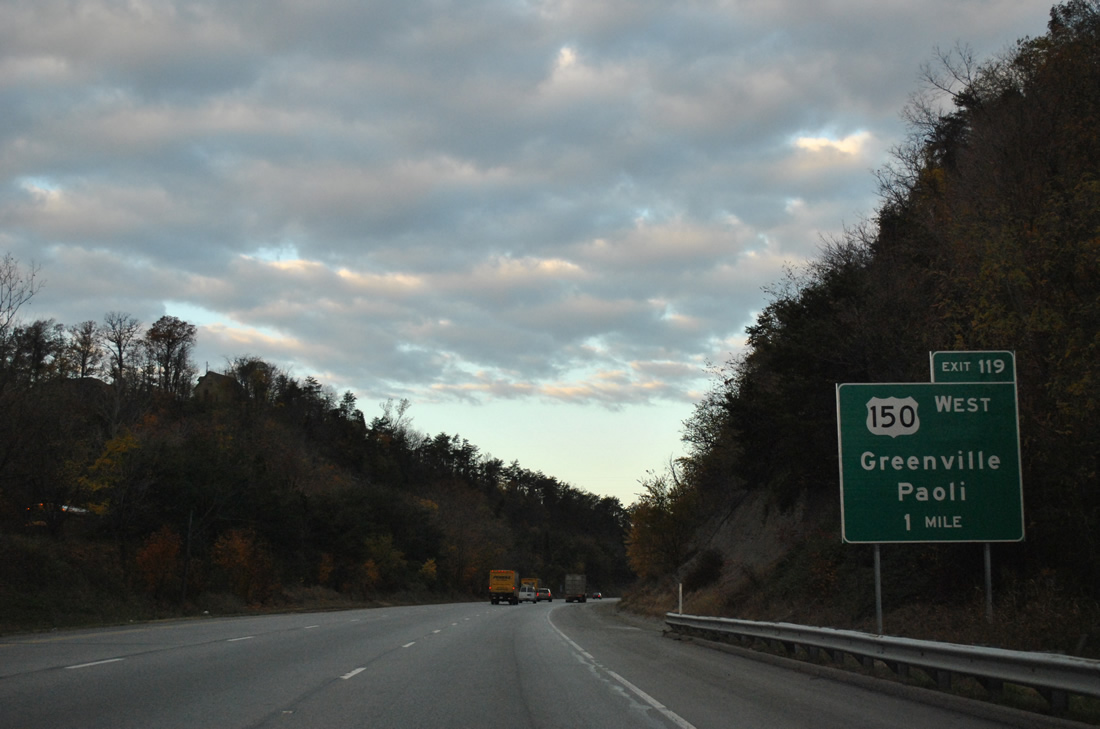
| U.S. 150 parts ways with I-64/SR 62 at the Exit 119 trumpet interchange in one mile. 11/07/11 |
|
| Angling northwest, U.S. 150 leaves the Falls City area for Greenville, Palmyra, Paoli and a merge with U.S. 50 west at Shoals. 11/07/11 |
|
| I-64/SR 62 maintain three through lanes at the split with U.S. 150 west (Exit 119). U.S. 150 heads north to Floyds Knobs and Mt. St. Francis before the western turn to Greenville. The US route totals 176.3 miles in Indiana, traveling west to Washington and Vincennes and north with U.S. 41 to Terre Haute. 11/07/11 |
|
| Curving southward, I-64/SR 62 quickly approach their split at the Exit 117 diamond interchange. 11/07/11 |
|
| Forthcoming Exit 117 doubles as the eastern terminus of SR 64, a 107.5 mile route mirroring that Interstate 64 corridor westward to Marengo, Birdseye, Huntingburg, Oakland City, Princeton and the Illinois state line at East Mt. Carmel. 11/07/11 |
|
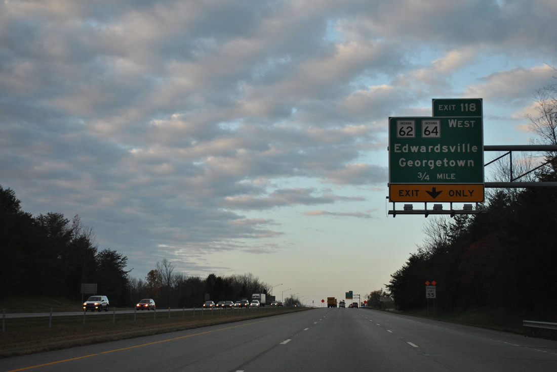
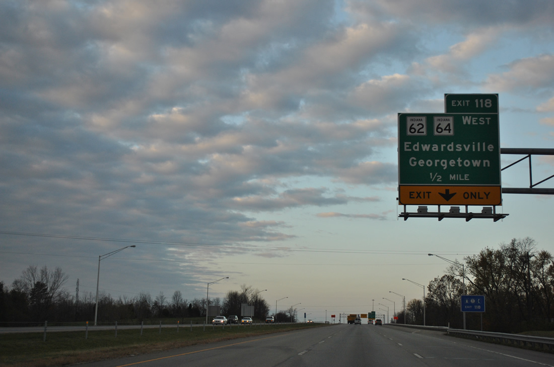
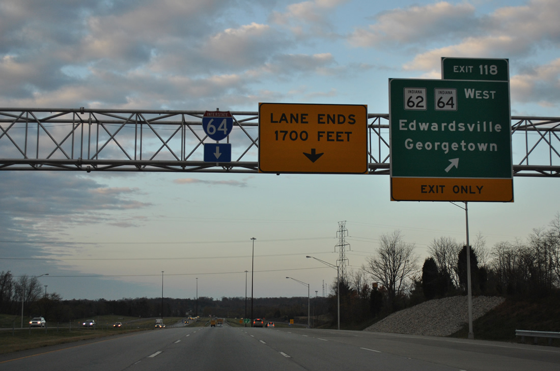
| One half mile east of the Exit 118 off-ramp to SR 62 and SR 64 west. This interchange serves the growing Georgetown and Edwardsville area in western Floyd County and was recently rebuilt to handle the extra traffic. 11/07/11 |
|
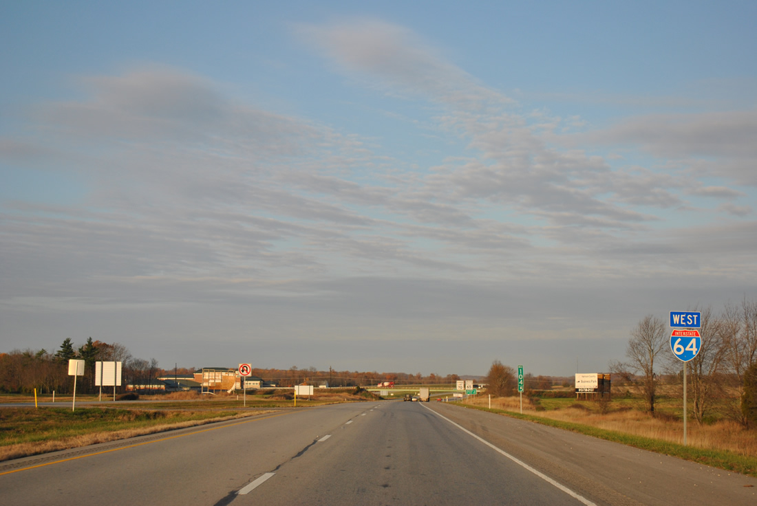
| Interstate 64 westbound drops a lane at Exit 118. SR 62 leaves and follows a parallel route to the freeway westward to Lanesville, Corydon and Leavenworth. Overall the state road totals 227.7 miles from Dillsboro in southeast Indiana to a toll bridge across the Wabash River into Illinois. While SR-62 never directly interacts with Interstate 64 again, many of the following interchanges act as connectors between the two highways. 11/07/11 |
|
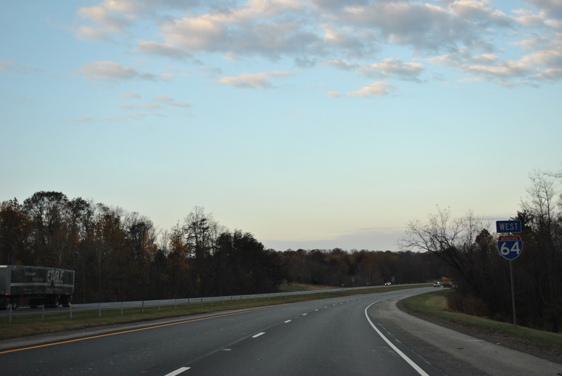
| Continuing west, traffic counts drop as Interstate 64 undulates over rolling hills to the Evansville area. 11/07/11 |
|
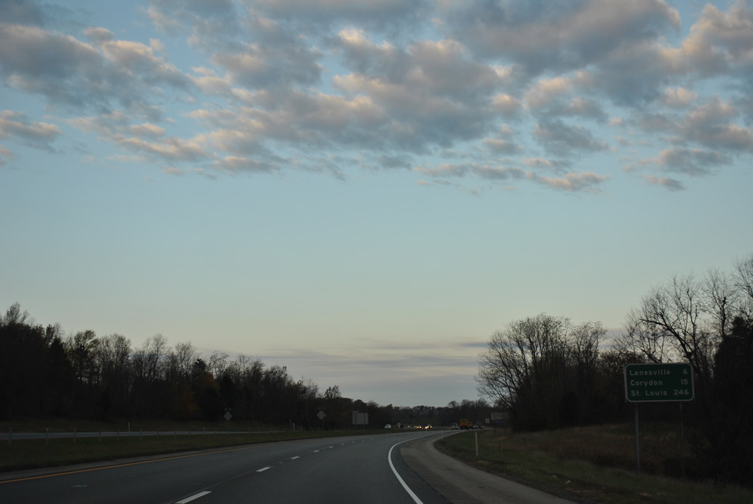
| Corydon, the Harrison County seat, follows in 15 miles. St. Louis is signed as the control point throughout Indiana, with the Mississippi River city another 246 miles to the west. 11/07/11 |
|
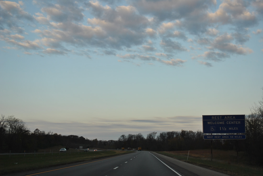
| A rest area and tourist information center welcome westbound travelers from Kentucky along Interstate 64 west in 1.5 miles. 11/07/11 |
|
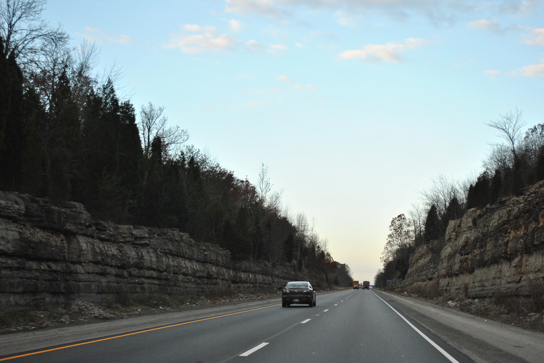
| A roadway split reveals rock cuts on both sides of Interstate 64 westbound on the approach to the Baylor Wissman Road overpass. 11/07/11 |
|
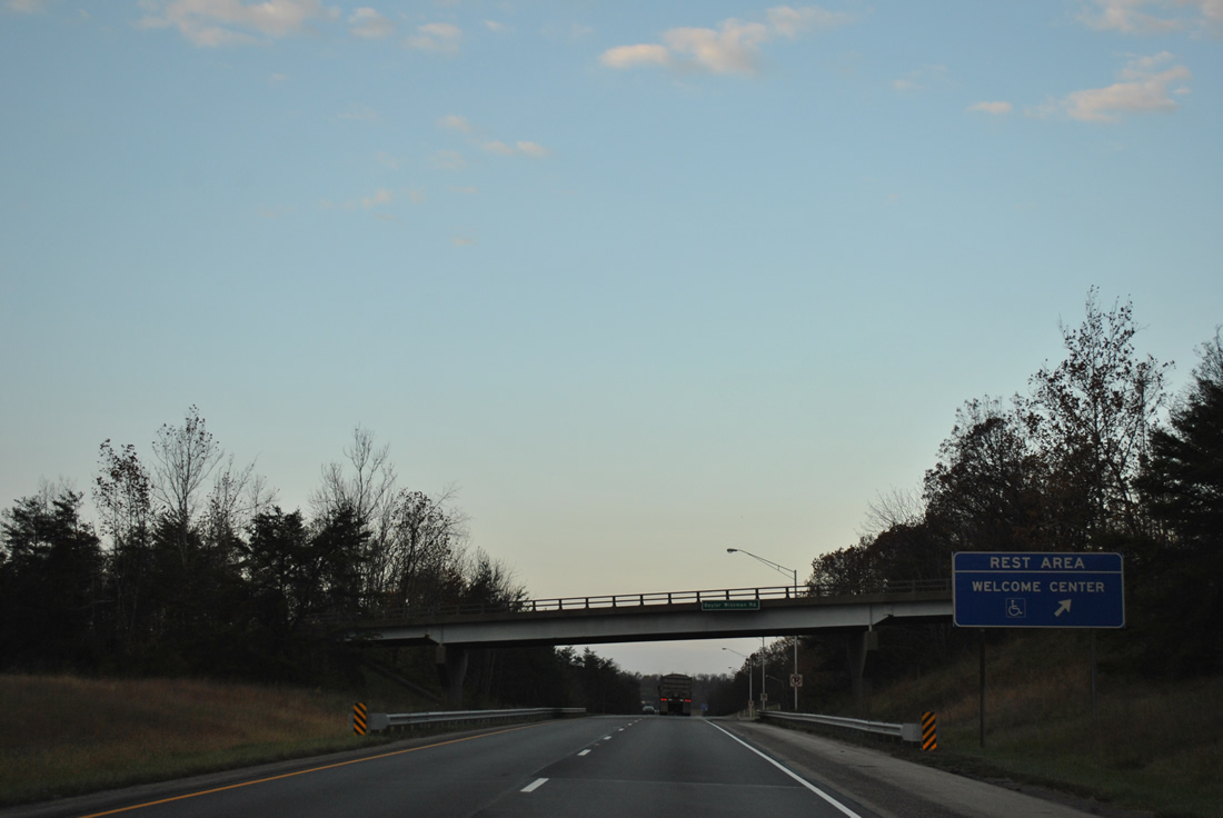
| The westbound side rest area and welcome center follow the Baylor Wissman Road over crossing. 11/07/11 |
|
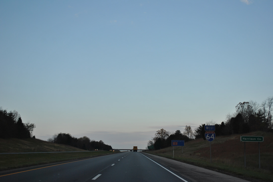
| Just west of rest area is the Harrison County line and this reassurance marker. 11/07/11 |
|
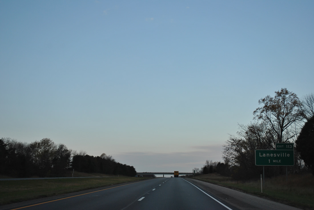
| The first of two Harrison County interchanges joins Interstate 64 with Crandall Lanesville Road in one mile. 11/07/11 |
|
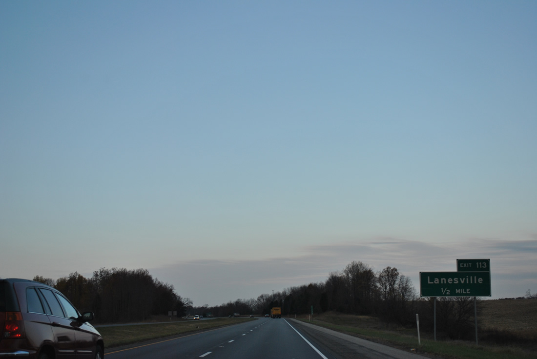
| Crandall Lanesville Road comprises a rural two lane road joining Exit 113 of Interstate 64 with Lanesville and SR 62 to the south. 11/07/11 |
|
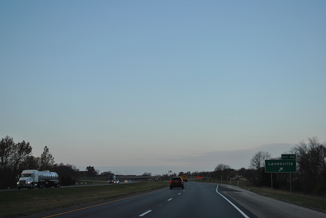
| Exit 113 departs Interstate 64 westbound. Crandall Lanesville Road turns west nearby and continues to agricultural areas to Pfrimmer Chapel Road. Lanesville Road also stems north from nearby to become County Line Road and Old Lanesville Road as a back way into Georgetown. 11/07/11 |
|
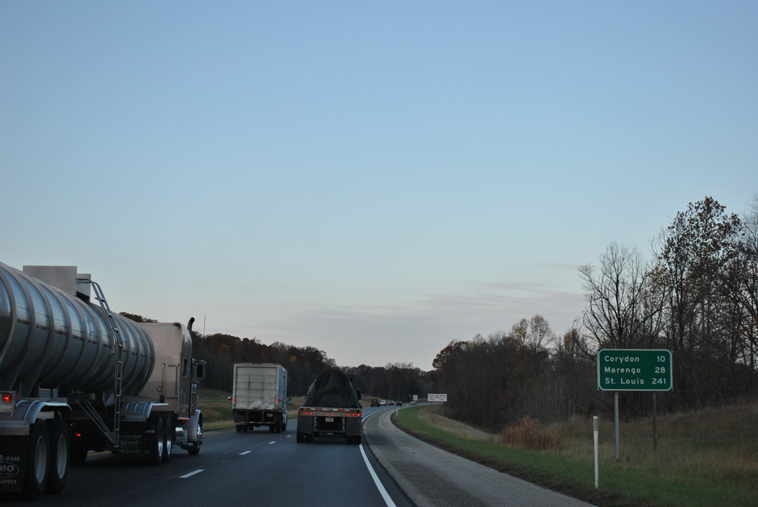
| Corydon and Marengo represent the next towns served by Interstate 64 west. Traffic headed to St. Louis still has another 241 miles to go. 11/07/11 |
|
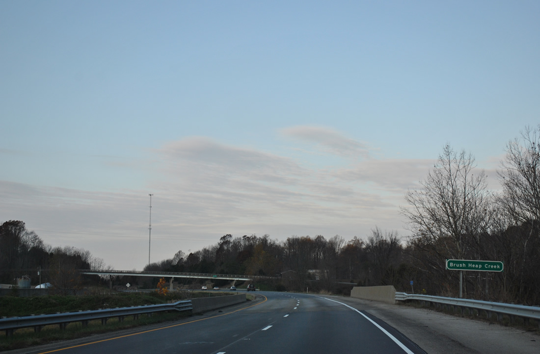
| Crossing Brush Heap Creek along Interstate 64 west near the Tee Road overpass. This stretch of freeway was completed in 1974. 11/07/11 |
|
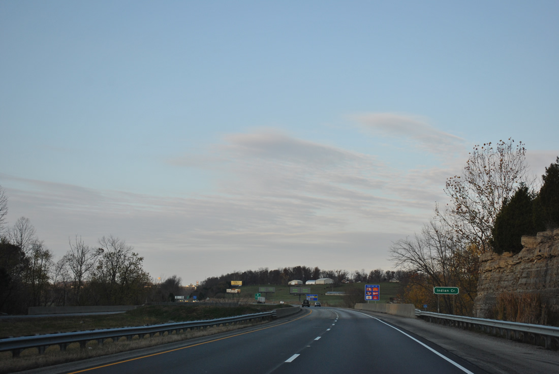
| A short distance further, Interstate 64 travelers span a valley created by Indian Creek. 11/07/11 |
|
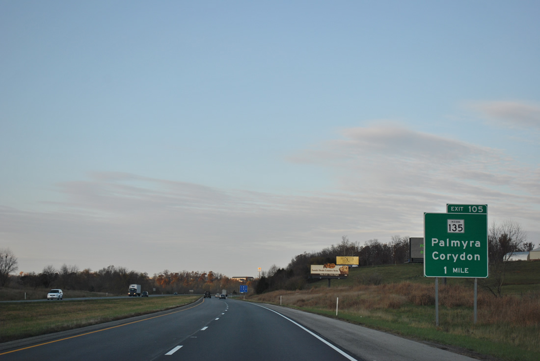
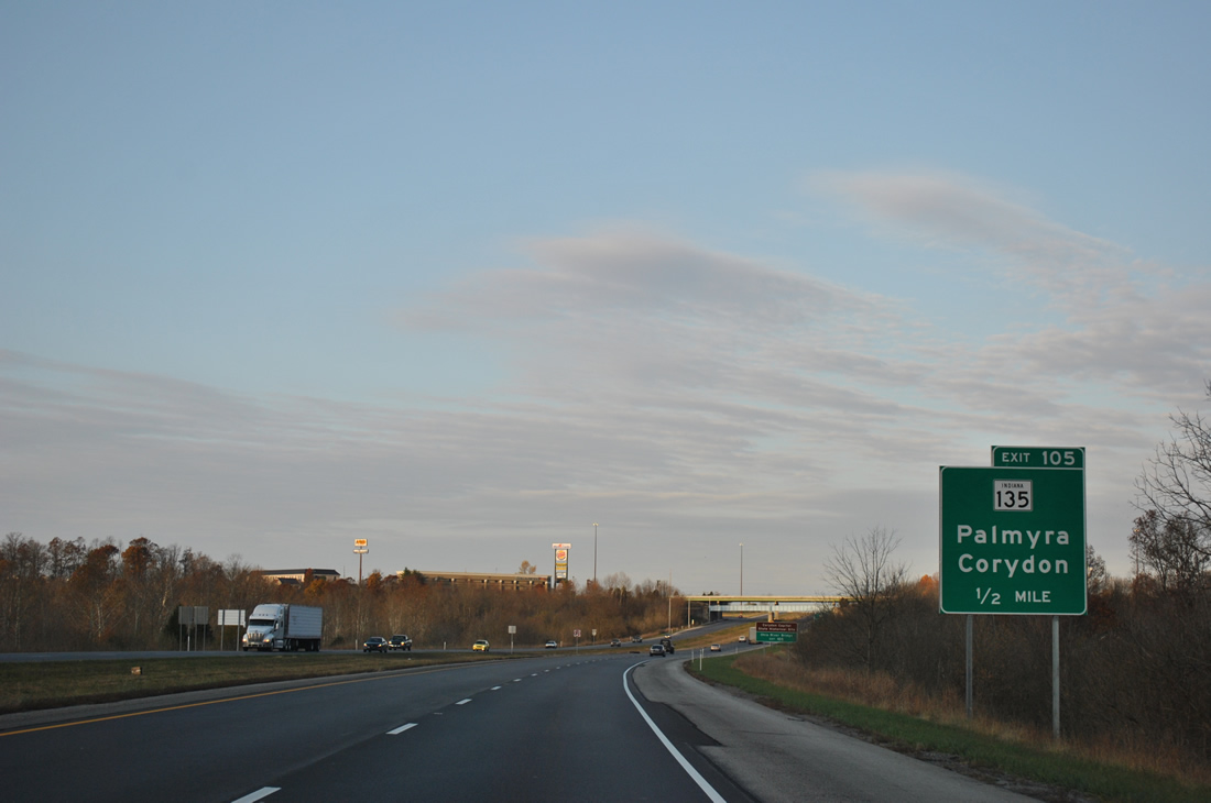
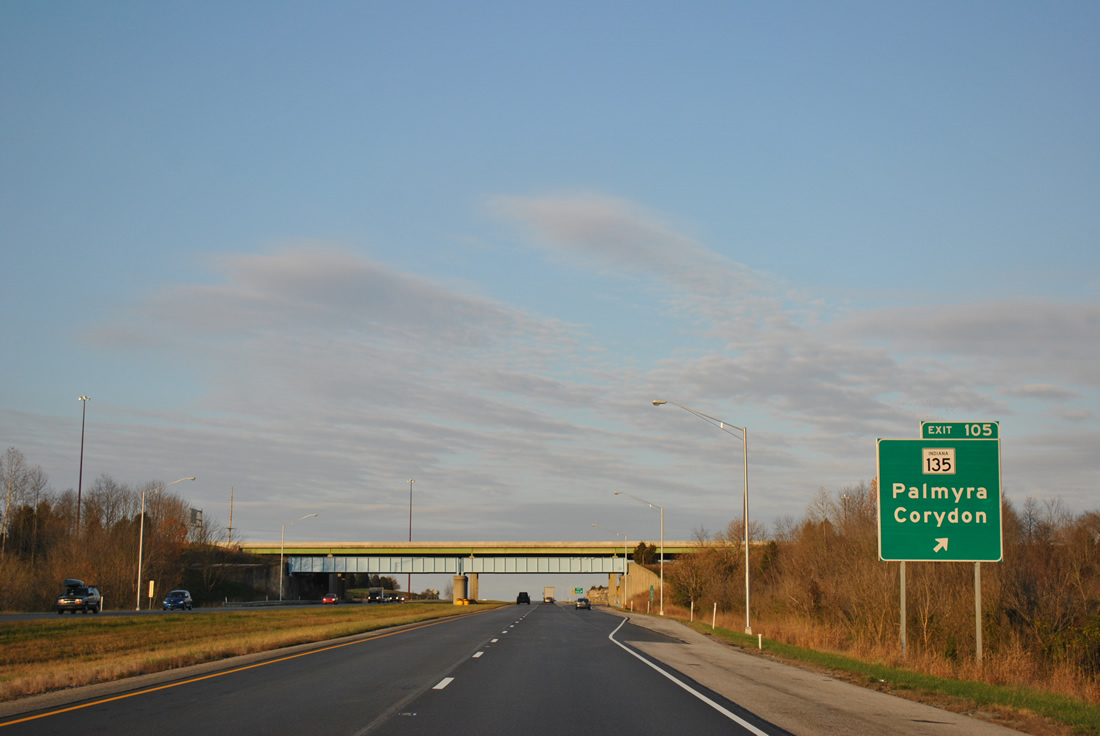
| SR 135 crosses paths with Interstate 64 on the north side of Corydon at Exit 105. 11/07/11 |
|
| SR 135 is a lengthy route, running between Interstate 465 on the south side of Indianapolis to the Kentucky state line. The state road provides the first crossing of the Ohio River west of the Sherman Minton Bridge via the Matthew Welsh Bridge between Mauckport and Brandenburg, Kentucky. 11/07/11 |
|
| Exit 105 consists of a folded diamond interchange due to the parallel Louisville, New Albany & Corydon Railroad along both SR 135 and Indian Creek. SR 135 connects Corydon with U.S. 150 at Palmyra, 13.3 miles to the north. Use Exit 105 for the Corydon Capitol State Historical Site as well. 11/07/11 |
|
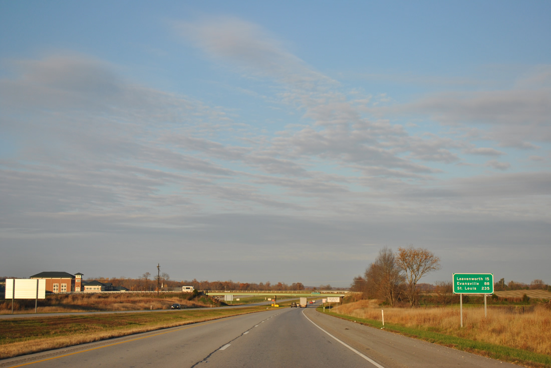
| Westbound reassurance shield and distance sign posted 15 miles east of Leavenworth and 88 miles from Evansville. Marengo, posted on the previous distance sign, is absent. Perhaps this is because SR 337 northwest from SR 135 near Exit 105 provides the most direct route to the northeast Crawford county town. 11/07/11 |
|
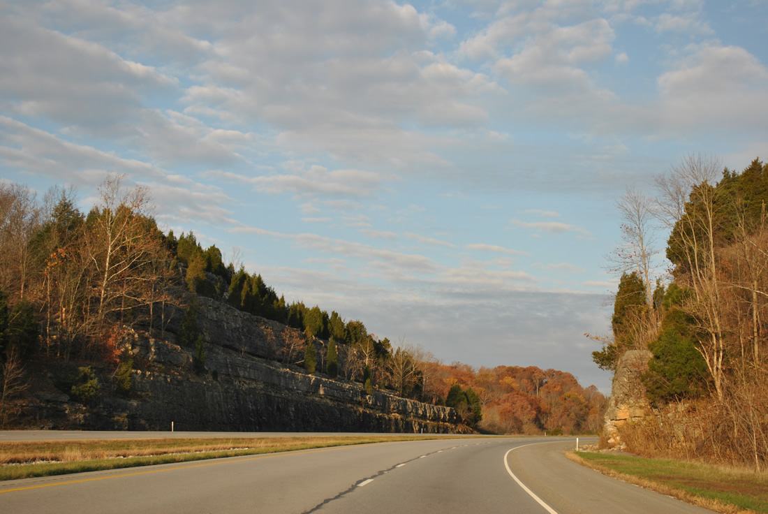
| Winding westward toward the Blue River along Interstate 64. SR 62 travels close by, almost kissing the eastbound lanes of I-64 at one point. 11/07/11 |
|
| Crossing another valley, this containing the waters of the Blue River, on Interstate 64 west. 11/07/11 |
|
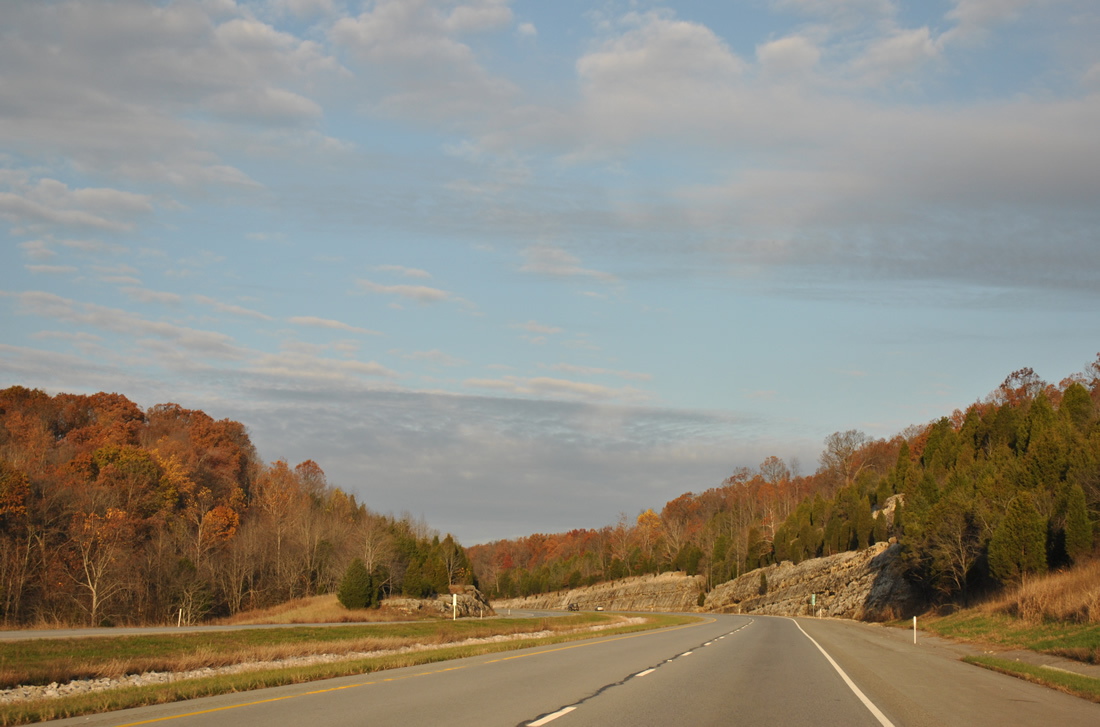
| Entering Harrison-Crawford State Forest, Interstate 64 climbs from Scout Mountain to the site of former rest areas at milepost 97. 11/07/11 |
|
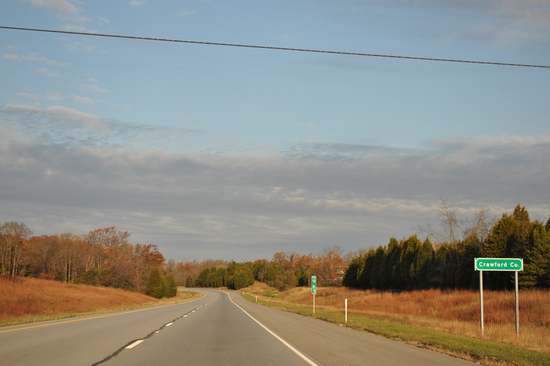
| Just west of the former rest area on-ramp is the Crawford County line across Interstate 64 west. 11/07/11 |
|
| Additional scenery lines the adjacent landscape of Interstate 64 adjacent to Dry Run through Harrison-Crawford State Forest. 11/07/11 |
|
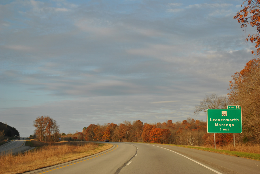
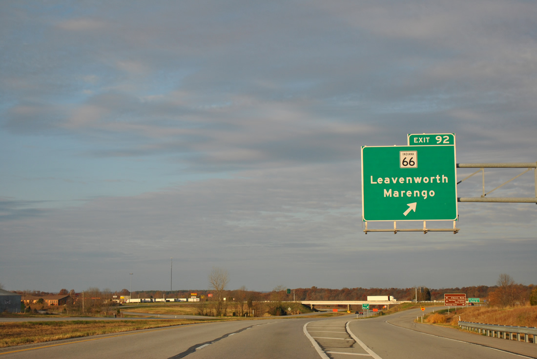
| Westbound drivers exit the state forest and next meet SR 66 at a diamond interchange (Exit 92). 11/07/11 |
|
| State Road 66 travels in an arc across southern Indiana, beginning at New Harmony to the west and ending at U.S. 150 near Hardinsburg to the east. The 152.5 mile route locally connects Interstate 64 with Leavenworth 2.8 miles to the south and Marengo 9.7 miles to the north. 11/07/11 |
|
| Exit 92 leaves Interstate 64 west for SR 66. SR 66 combines with SR 62 leading west from Leavenworth to Beechwood and Sulphur. Pilot Knob otherwise lies 2.6 miles north of the freeway. 11/07/11 |
|
| Rock cuts again line the sides of Interstate 64 west as the roadways separate from Exit 86 to Riddle. 11/07/11 |
|
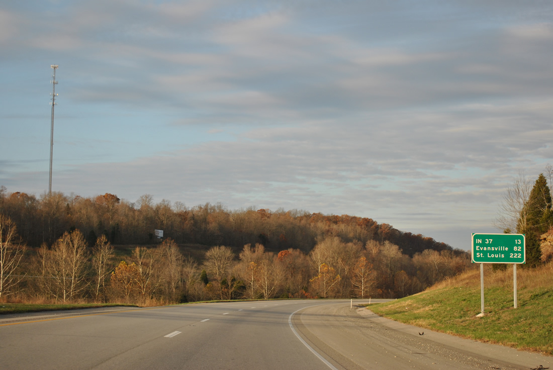
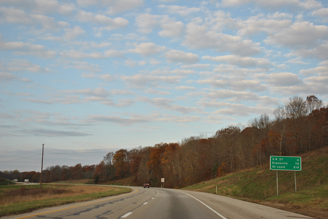
| Distance sign posted 13 miles east of SR 37 (the second exit), 82 miles from Evansville and 222 miles away from St. Louis. 11/07/11 |
|
| A wide median for Interstate 64 accommodates the waters of Turkey Fork and an associated tributary near the settlement of Magnolia. 11/07/11 |
|
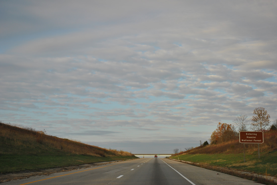
| Cresting near the settlement of Riddle, Interstate 64 west formally enters Hoosier National Forest. 11/07/11 |
|
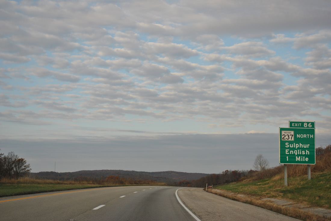
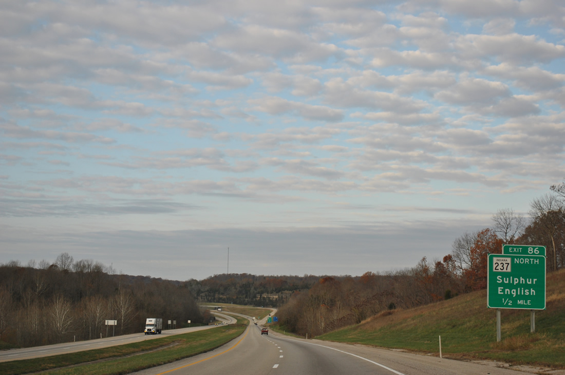
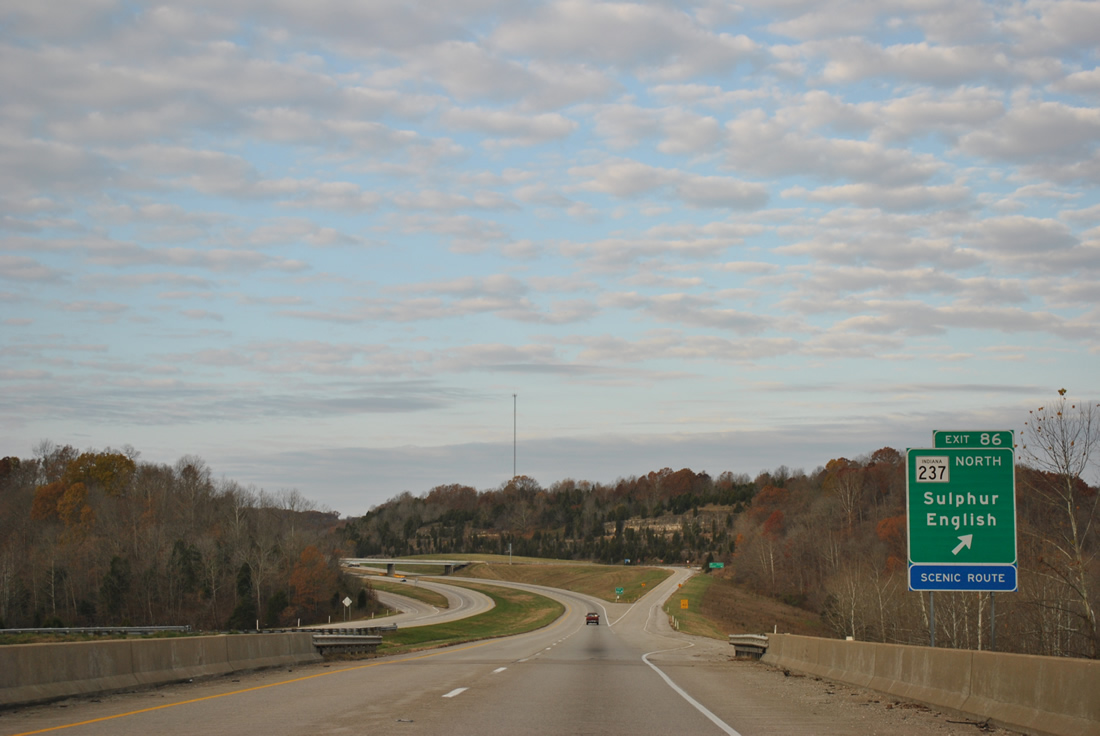
| SR 237 begins at Exit 86 and leads north 10.5 miles to SR 37 and 64 at English. 11/07/11 |
|
| SR 237 was signed over a portion of SR 37 in 2007 when SR 37 was relocated from English and Sulphur westward to a new alignment leading south from SR 64 near Eckerty to Exit 79 and St. Croix.1 11/07/11 |
|
| Interstate 64 spans the Little Blue River ahead of the Exit 86 diamond interchange with SR 237 north. Main Street (old SR 37) continues south from Exit 86 to the split of SR 62 (former U.S. 460) west and 66 south at Sulphur. 11/07/11 |
|
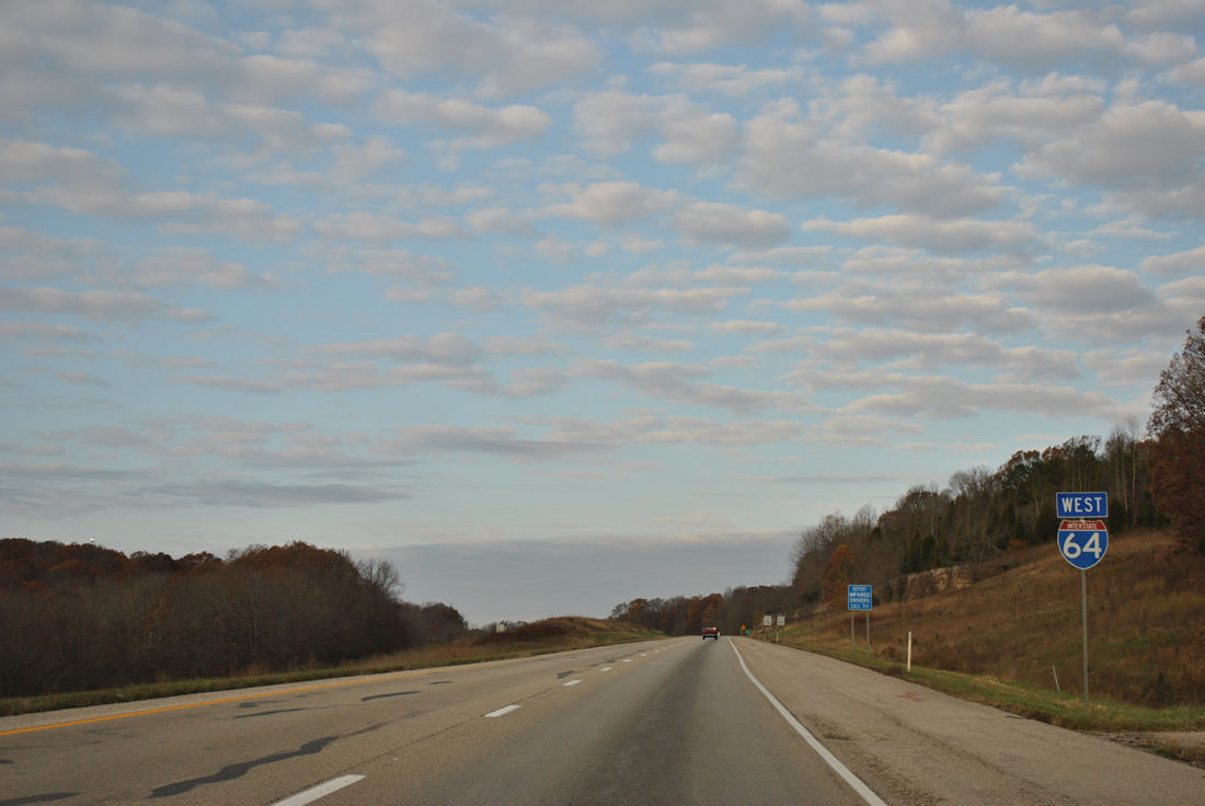
| Continuing west, Interstate 64 reaches SR 37 in six miles and St. Louis in 215 miles. Evansville is a 72 mile drive via I-64 west to Interstate 164 south. 11/07/11 |
|
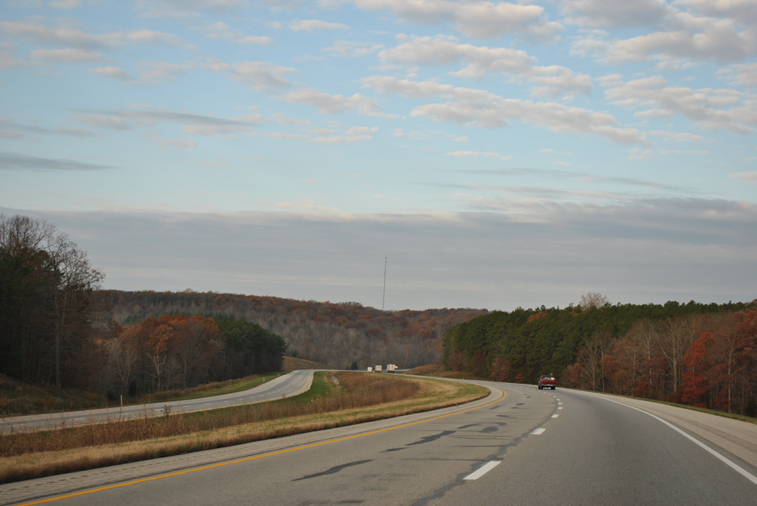
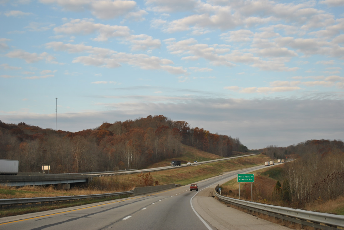
| Lightly traveled Interstate 64 rises and falls as it winds along the south side of McKensie Ridge near the SR 62 / old U.S. 460 settlement of West Fork. 11/07/11 |
|
| Waters from Stinking Fork flow adjacent to West Fork Eckerty Road as Interstate 64 passes both above. This stretch of freeway was built in 1973. 11/07/11 |
|
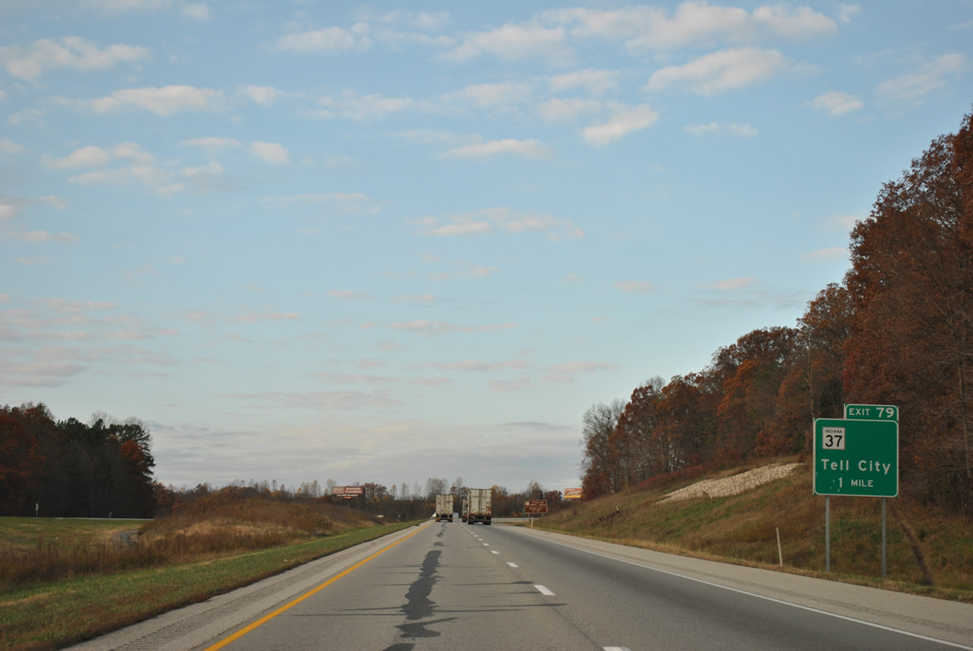
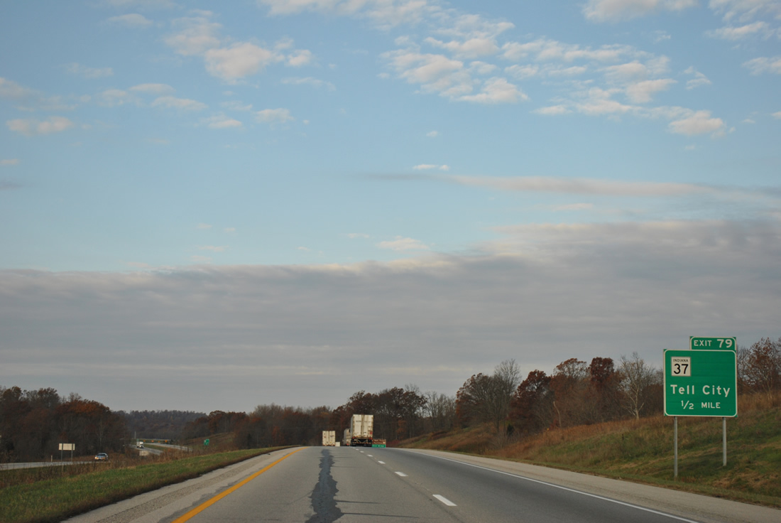
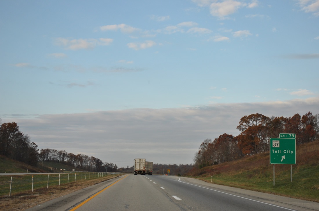
| One mile ahead of the diamond interchange (Exit 79) with SR 37 on I-64 west. 11/07/11 |
|
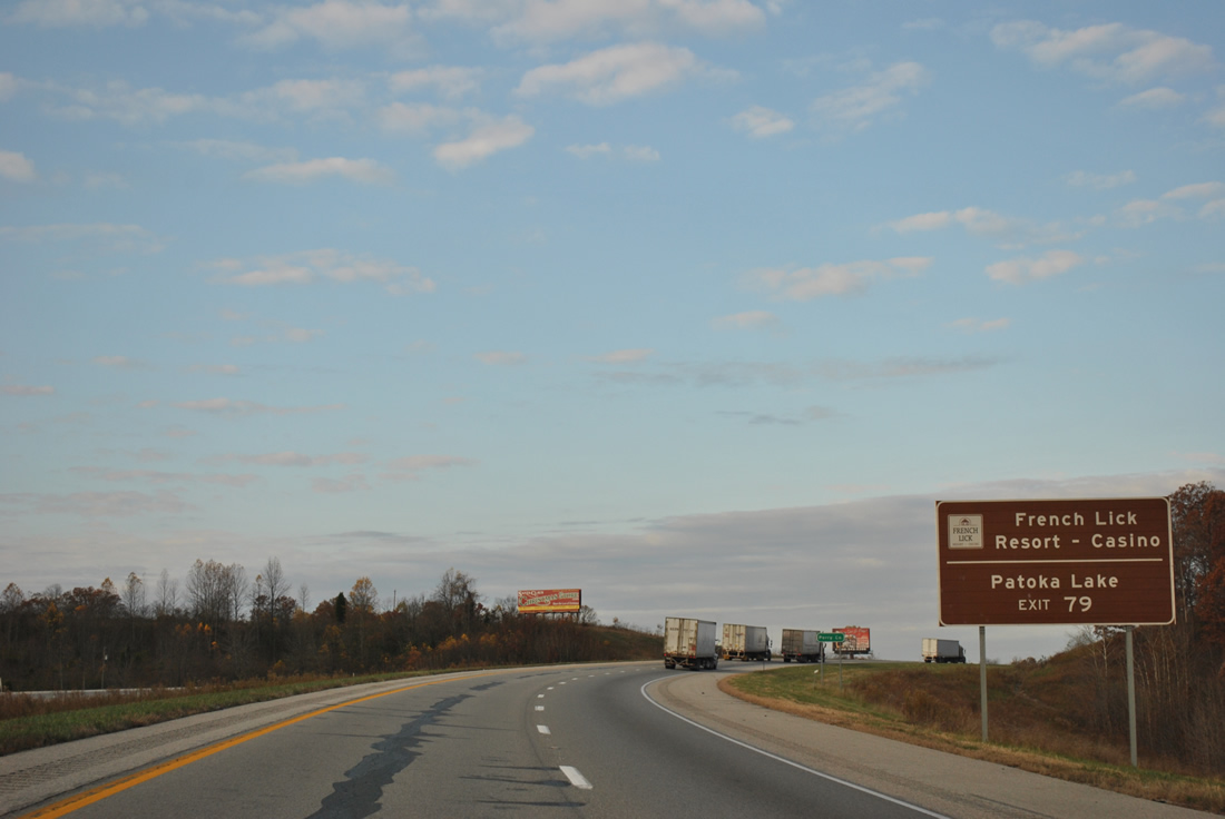
| SR 37 follows the O'Bannon Highway northward to merge with SR 64 east. SR 64 west to nearby SR 145 north carries travelers to Patoka Lake, French Lick Resort / Casino and SR 56. 11/07/11 |
|
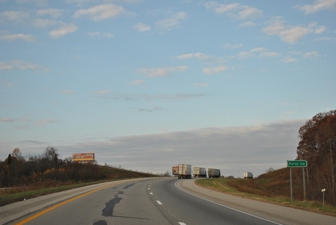
| Beyond another set of removed rest areas is the Interstate 64 crossing of the Perry County line. 11/07/11 |
|
| SR 37 is primarily rural through extreme southern Indiana, but an important regional corridor leading north from Bedford to Bloomington and Indianapolis. Traveling 214.2 miles, the state road ends at Tell City (SR 66) to the south and Marion to the north. A second section of SR 37 exists in the Fort Wayne area. 11/07/11 |
|
| Connections of SR 37 south to the south section of SR 237 lead drivers to Cannelton and the Ohio River Bridge to Hawesville, Kentucky. 11/07/11 |
|
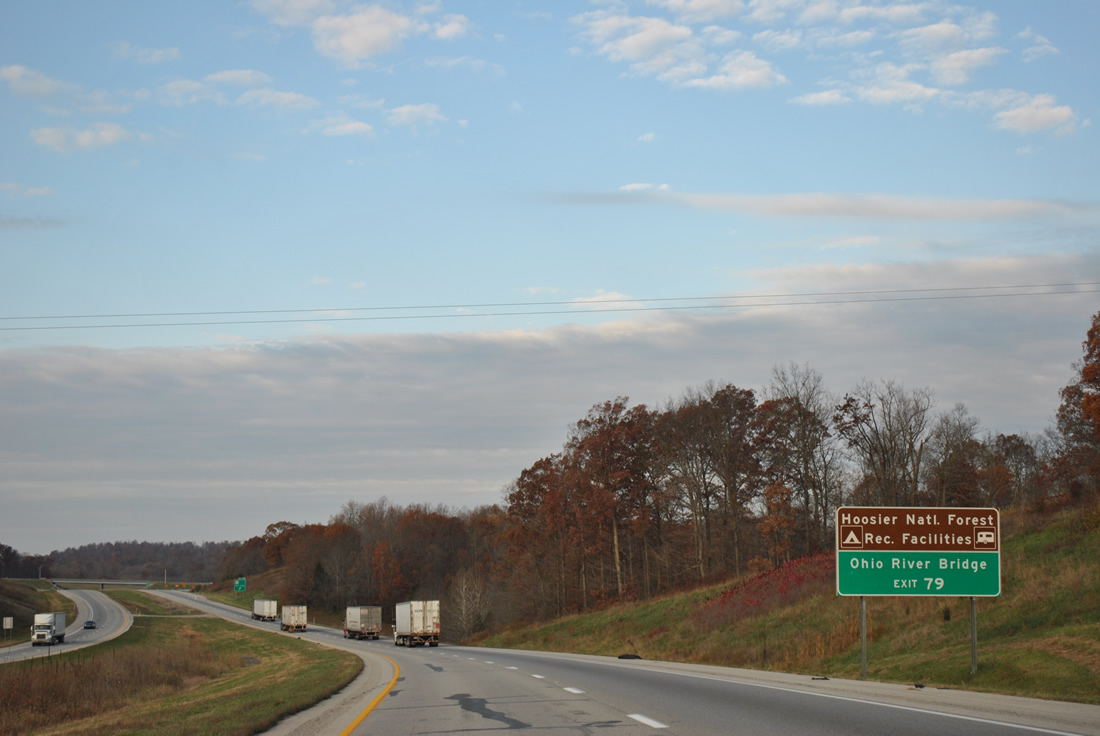
| Westbound Interstate 64 at the Exit 79 ramp departure to SR 37. SR 37 intersects SR 62 / old U.S. 460 in nearby St. Croix, where the routes used to combine eastward to Sulphur. O'Bannon Highway was constructed from Exit 79 northward in 2007.1 11/07/11 |
|
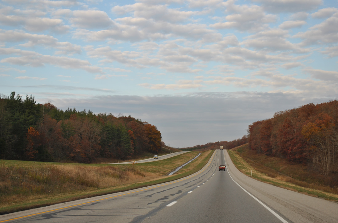
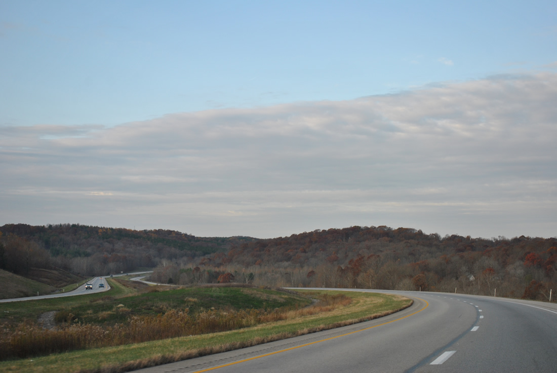
| Continuing west, the scenery remains consistent along Interstate 64 in northern Perry County. 11/07/11 |
|
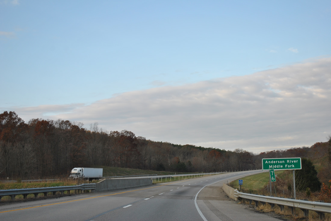
| Spanning the Anderson River Middle Fork at milepost 76 on Interstate 64 west. The bridge was built with the freeway in 1973. 11/07/11 |
|
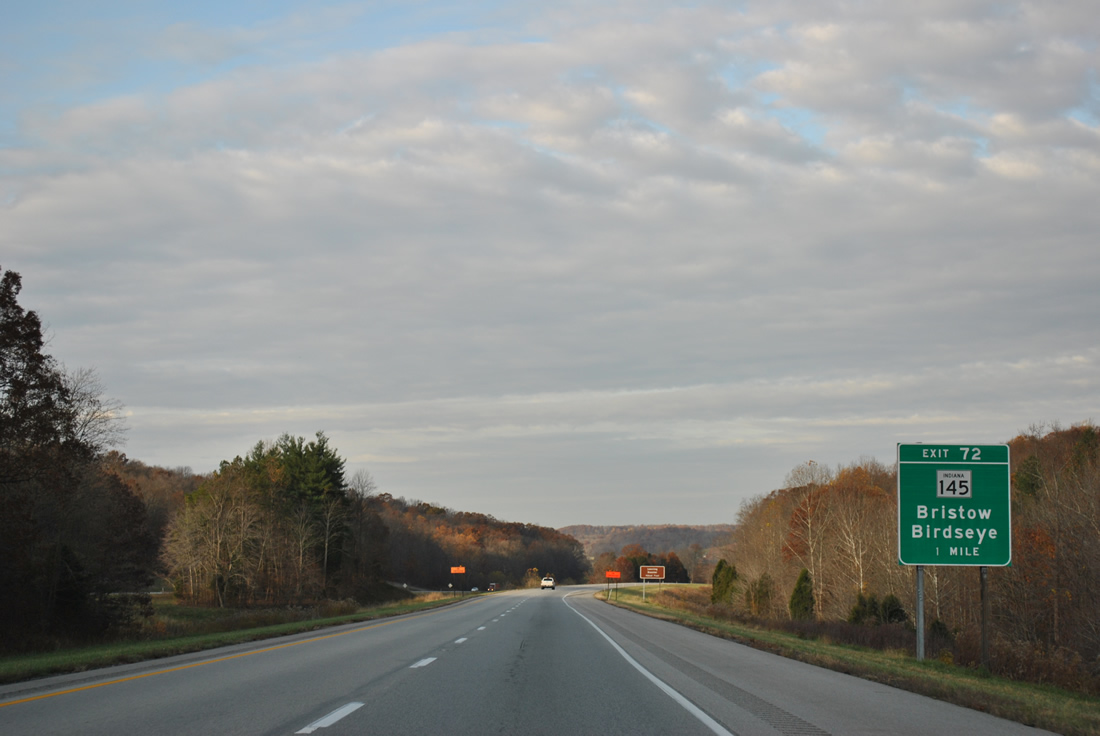
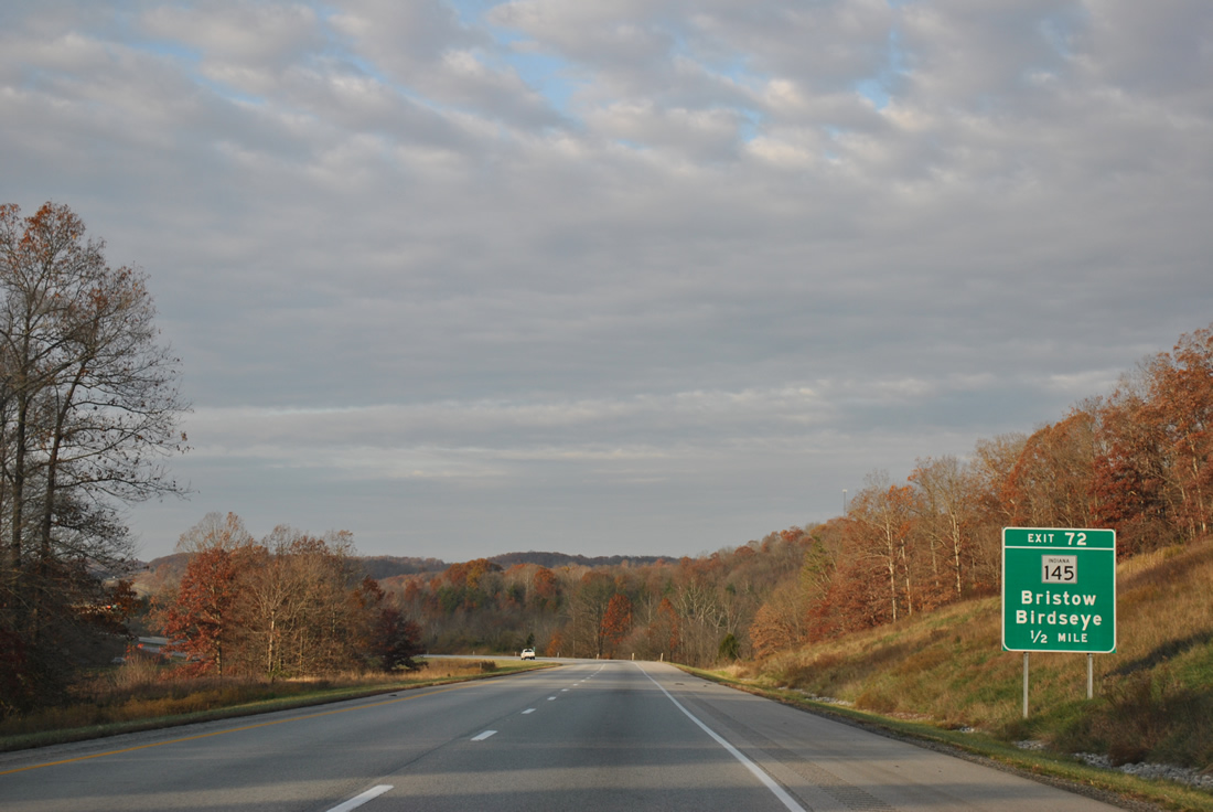
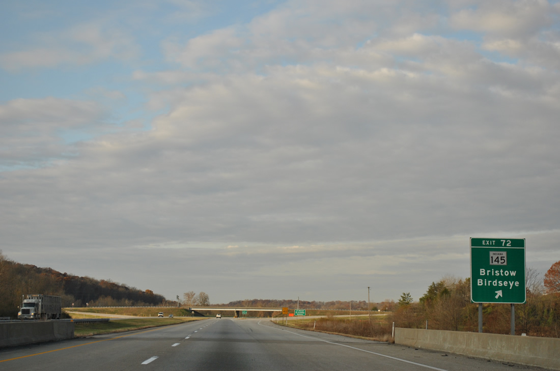
| Interstate 64 bypasses Uniontown ahead of the diamond interchange (Exit 72) with SR 145 by Kitterman Corners. 11/07/11 |
|
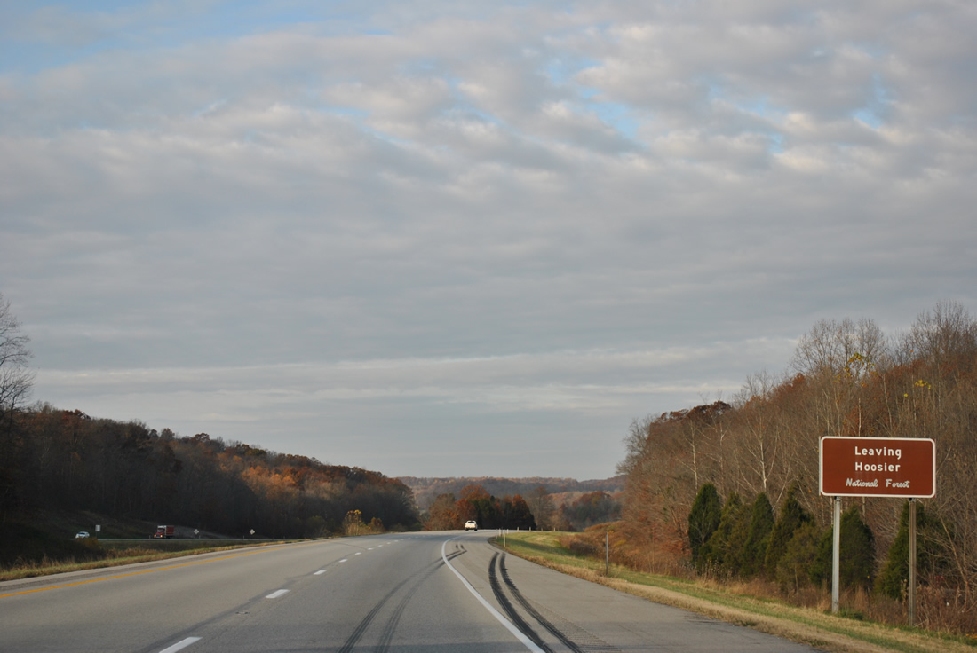
| Exiting Hoosier National Forest along Interstate 64 west near Exit 72. The landscape and scenery remain vastly unchanged, though more agricultural lands are present as one heads west. 11/07/11 |
|
| SR 145 overlaps with SR 64 west to Birdseye, opting for a southerly course from there eight miles to Exit 72. 11/07/11 |
|
| Drivers bound for SR 145 leave westbound Interstate 65 at the Sigler Creek bridge. SR 145 continues south 9.2 miles to Bristow and 19.9 miles to end at SR 37 near Tell City. 11/07/11 |
Page Updated 02-24-2013.


 West
West