
Pennsylvania Route 26 travels 123 miles north from the Maryland state line at Union township in Fulton County to PA 150 in Howard township and Centre County. The state route crosses Town Hill north into Bedford County, where it trends westward to Millers Corners between Big Mountain and Steckman Ridge. North from Clearview, PA 26 rises onto Clear Ridge to the borough of Everett.
Continuing north alongside Tussey Mountain, PA 26 meets PA 36 at Cottles Corner. PA 36 climbs west to Loysburg Gap while PA 26 circumvents Warrior Ridge east to Hopewell. Paralleling the Juniata River Raystown Ranch, PA 26 turns north toward Saxton.
Entering Huntingdon County, PA 26 traverses Woodcock Valley north between Tussey Mountain and Backbone Ridge to Marklesburg. The state route stays west of Raystown Lake onto Warrior Ridge at McConnellstown. Through the borough of Huntington, PA 26 crosses the Juniata River north of U.S. 22 and Smithfield onto Penn Street. PA 26 turns north onto 2nd Street for Standing Stone Avenue.
Heading north along Stone Creek Ridge, PA 26 goes to Donation and Jackson Corner. Following an overlap with PA 305 between Ennisville and McAlevys Fort, PA 26 shifts back to the northwest onto Tussey Mountain. Crossing into Centre County, PA 26 combines with PA 45 at Pine Grove Mills. The two separate south of State College, with PA 45 continuing northeast to Shingletown and Boalsburg.
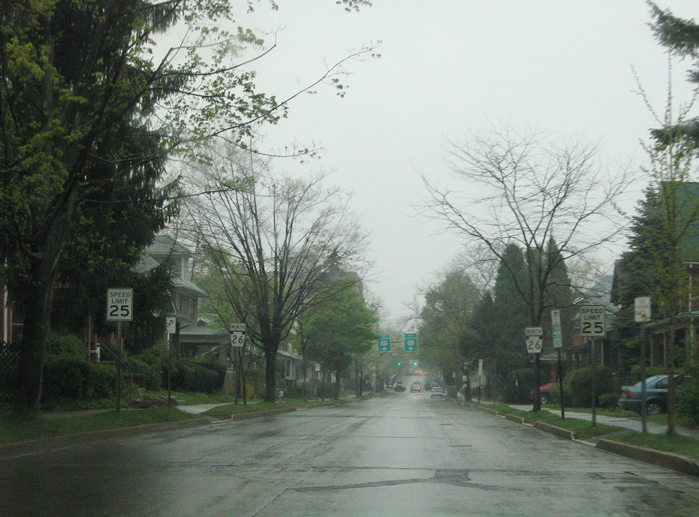
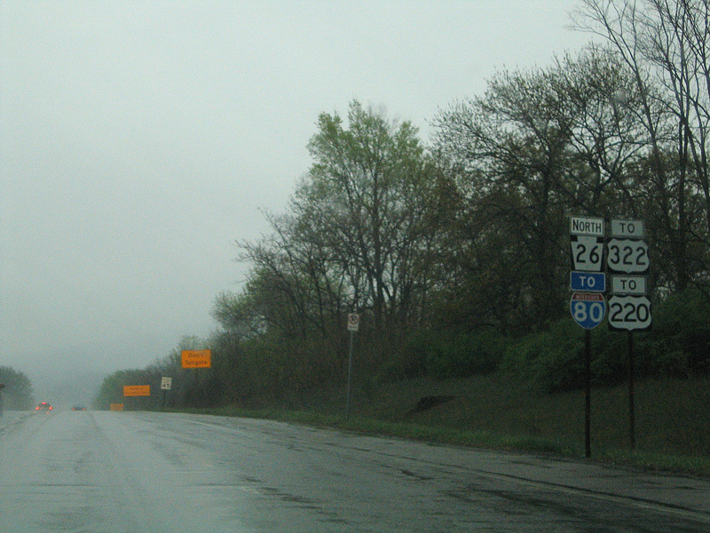
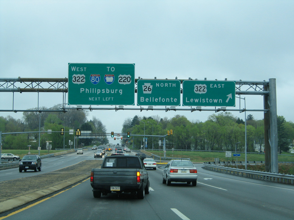
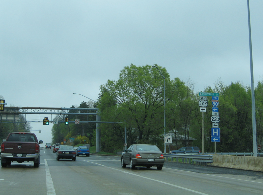
PA 26 runs through Downtown State College along the couplet of Beaver Avenue north and College Avenue south. Beyond Penn State University, PA 26 parallels Interstate 99 from Lemont to Pleasant Gap. The original freeway taking PA 26 northwest from PA 64 (Nittany Valley Drive) in Spring township to Interstate 80 outside Bellefonte was incorporated into I-99.
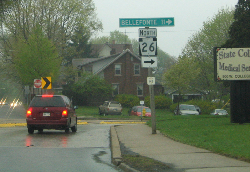
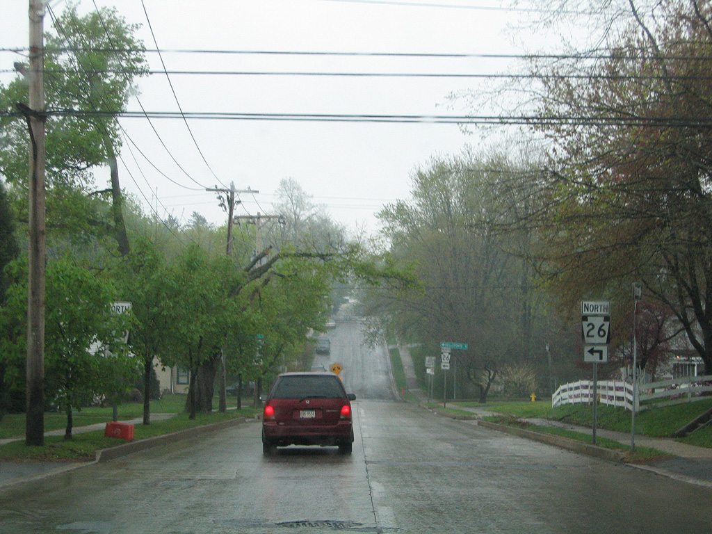
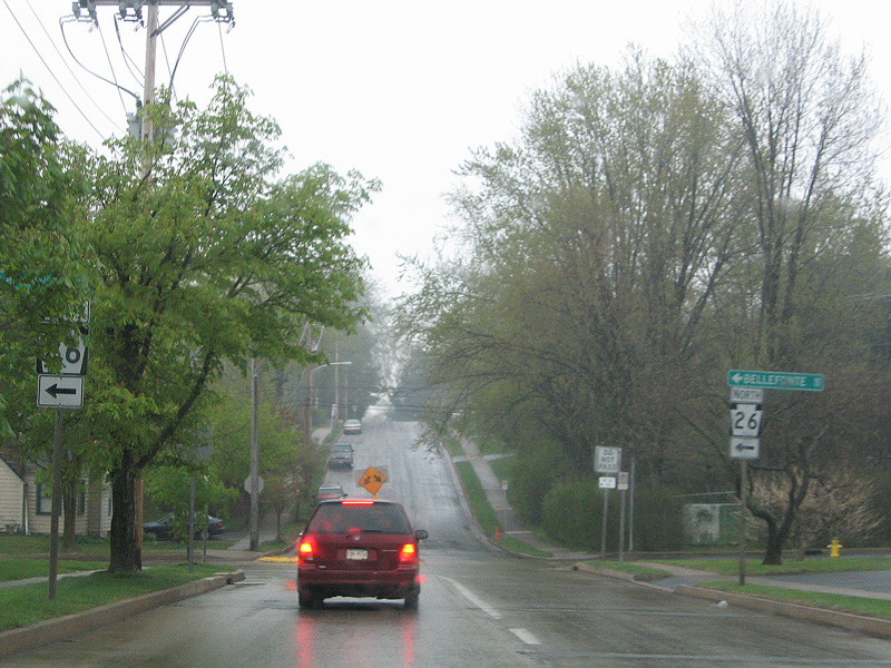
North from the exchange joining I-80 with I-99/U.S. 220, PA 26 (Marine Sgt. D.J. Emery Highway) parallels Eagle Mountain through Little Nittany Valley to Walnut Street. Walnut Street takes PA 26 northwest through Howard Gap to the borough of Howard. The state route concludes at PA 150 (Bald Eagle Valley Road) across Foster Joseph Sayers Lake.
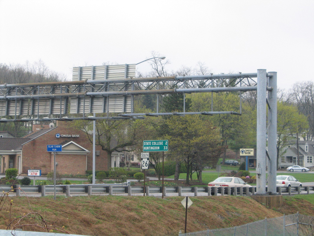
PA 150 follows the pre-freeway alignment of PA 26 north from College township to Willowbank Street in Bellefonte. PA 26 then ran along Howard Street and Jacksonville Road northeast from Bellefonte to Interstate 80.
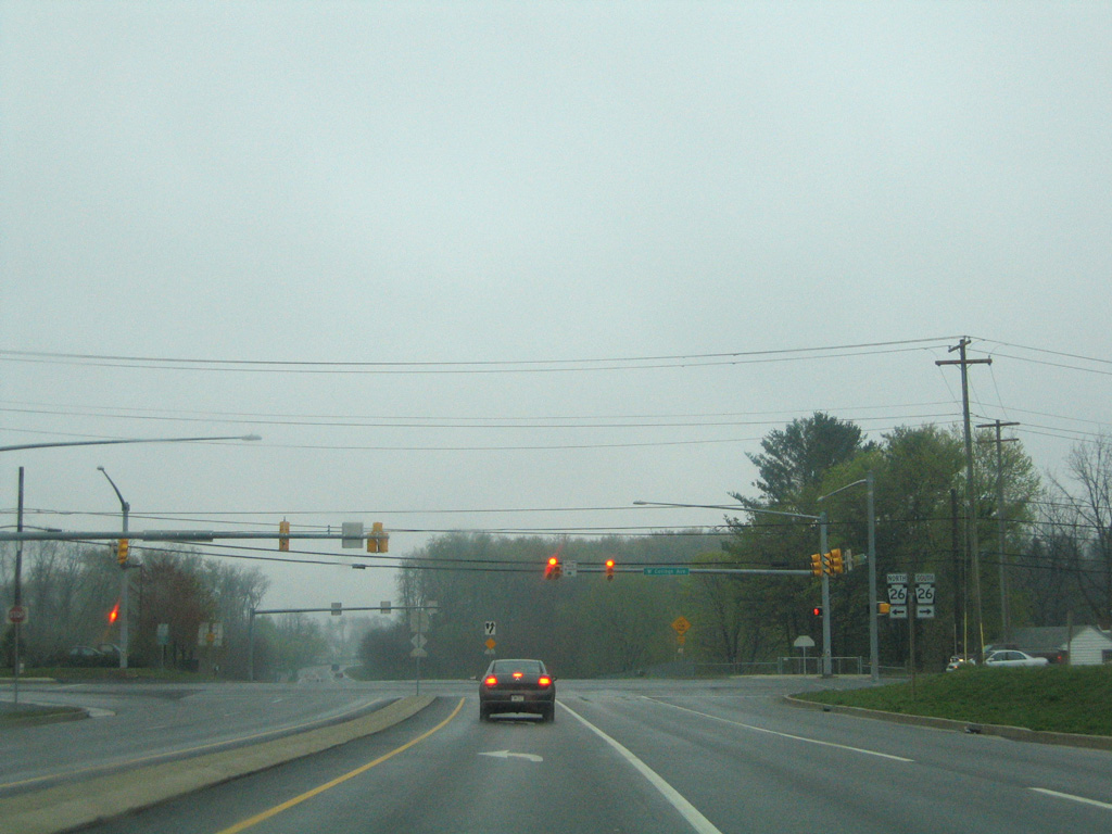
Blue Course drive provides a bypass of State College south from U.S. 322 Business (Atherton Street) to PA 26 (College Avenue) at Pine Hall.
04/30/05
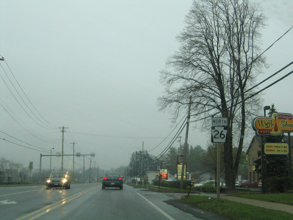
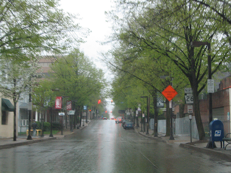
PA 26 proceeds north from Blue Course Drive along College Avenue into the borough of State College.
04/30/05
Corl Street intersects PA 26 southeast from the Penn State Golf Courses.
04/30/05
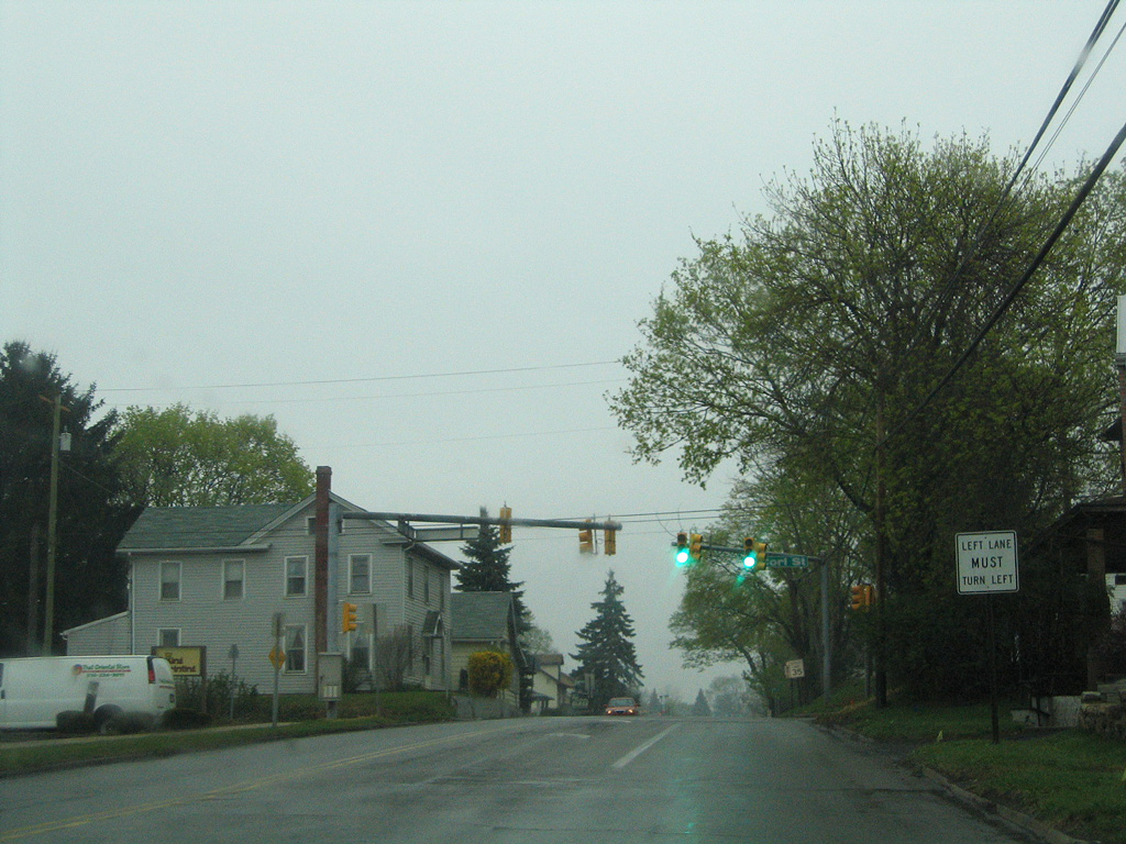
PA 26 partitions into Beaver Avenue northbound from College Avenue southbound at Buckout Street.
04/30/05
Buckout Street shifts PA 26 east onto Beaver Avenue north toward Downtown State College.
04/30/05
04/30/05
04/30/05
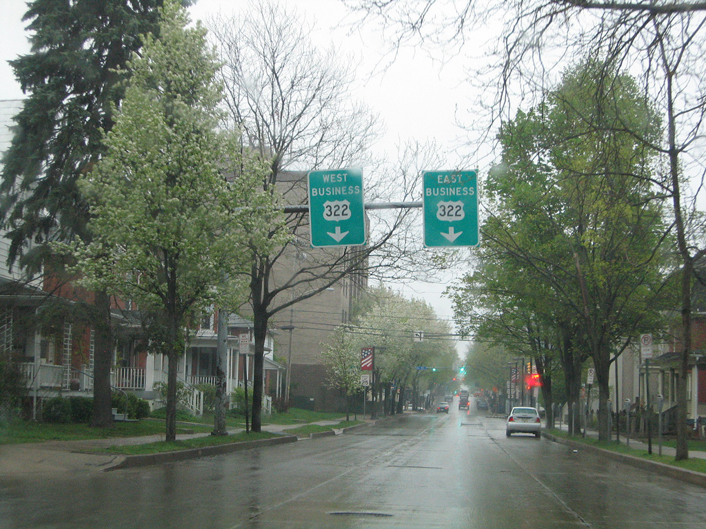
U.S. 322 Business travels across Downtown State College along Atherton Street.
04/30/05
04/30/05
PA 26 returns to College Avenue north via High Street west.
04/30/05
College Avenue expands to a four lane arterial north from High Street along the campus of Penn State University.
04/30/05
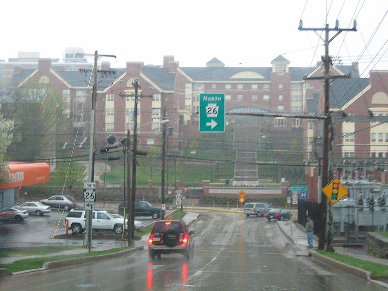
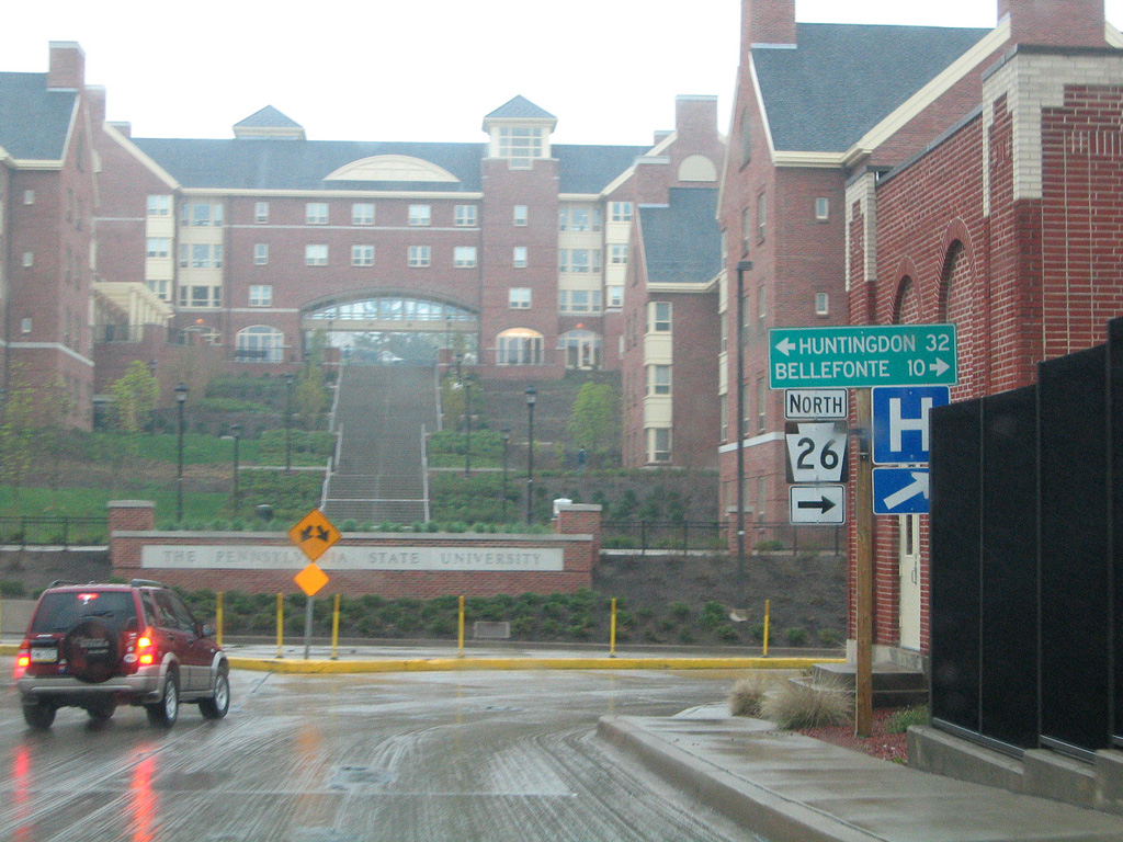
A parclo B2 interchange joins PA 26 (College Avenue) with University Drive (SR 3022) just ahead of this shield assembly.
04/30/05
PA 26 (College Avenue) meets U.S. 322 (Mt. Nittany Expressway) between Millbrook and Lemont.
04/30/05
U.S. 322 (Mt. Nittany Expressway) combines with I-99/U.S. 220 just west of PA 26 (College Avenue).
04/30/05
PA 26 (College Avenue) south of the exchange with U.S. 322 (Mt. Nittany Expressway) at Millbrook outside State College.
04/30/05
Photo Credits:
04/30/05 by AARoads and Corey Dukes
Connect with:
Interstate 80
Interstate 99
U.S. 22
U.S. 30
U.S. 322
Page Updated 01-22-2021.