|
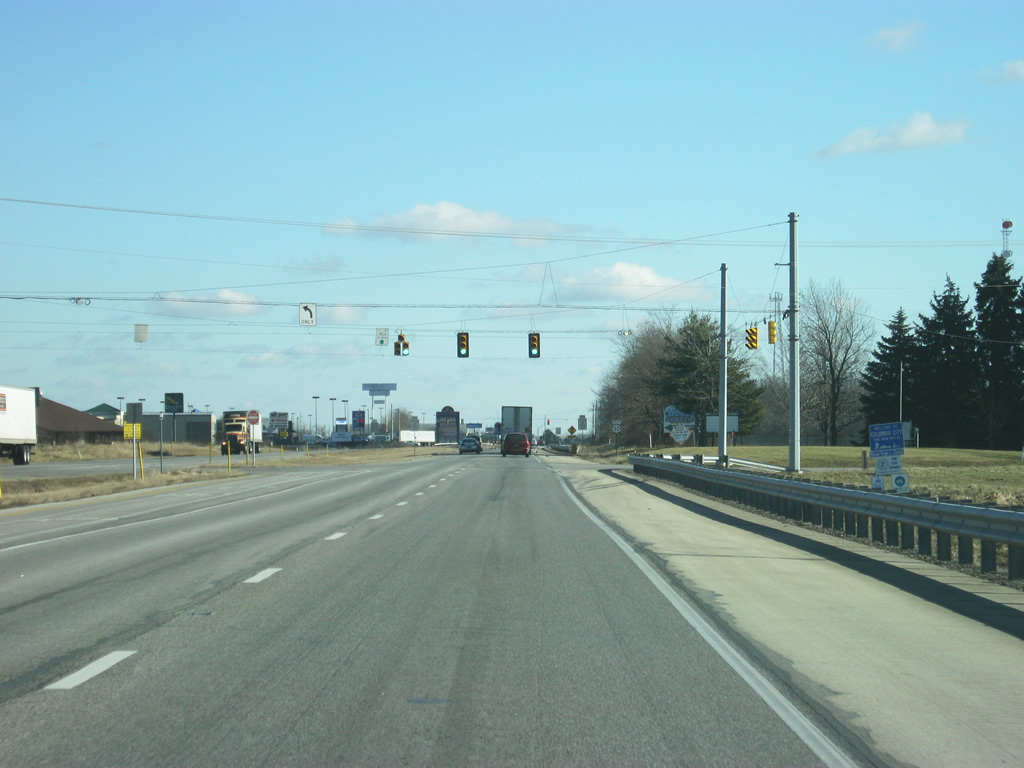
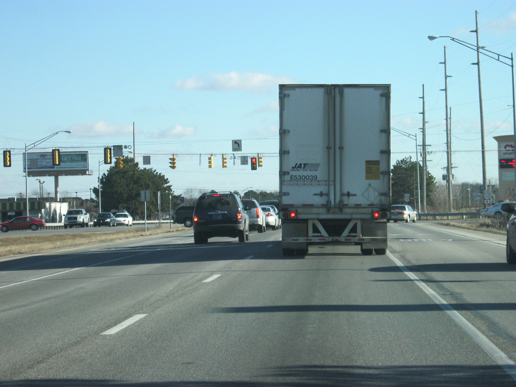
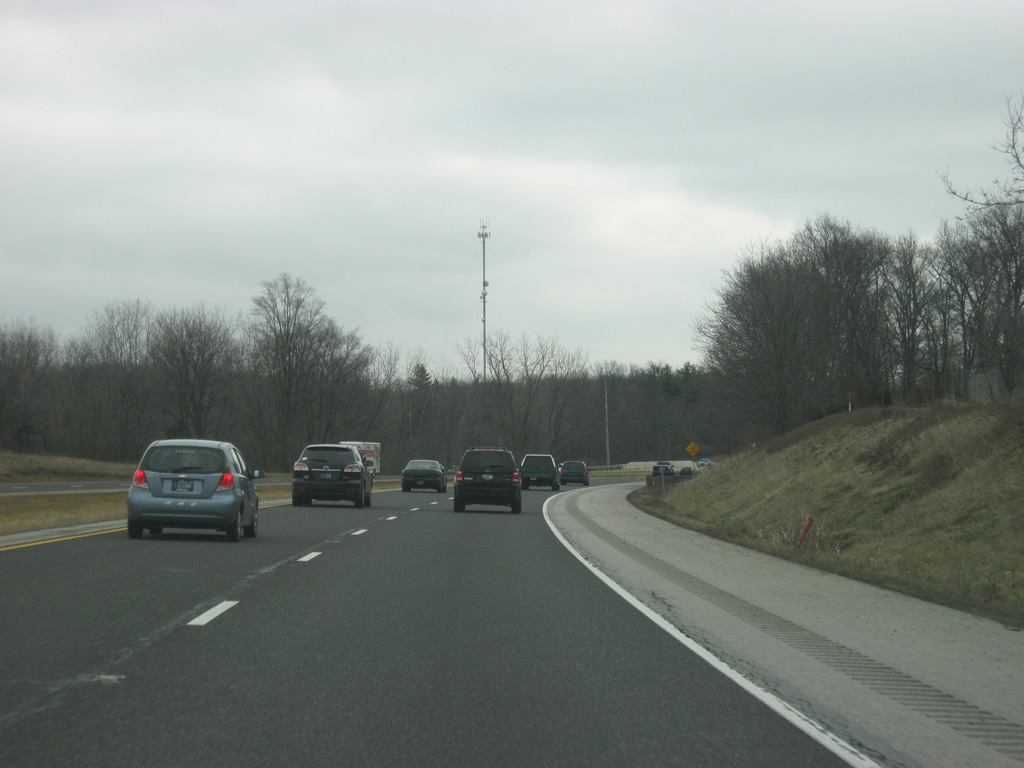
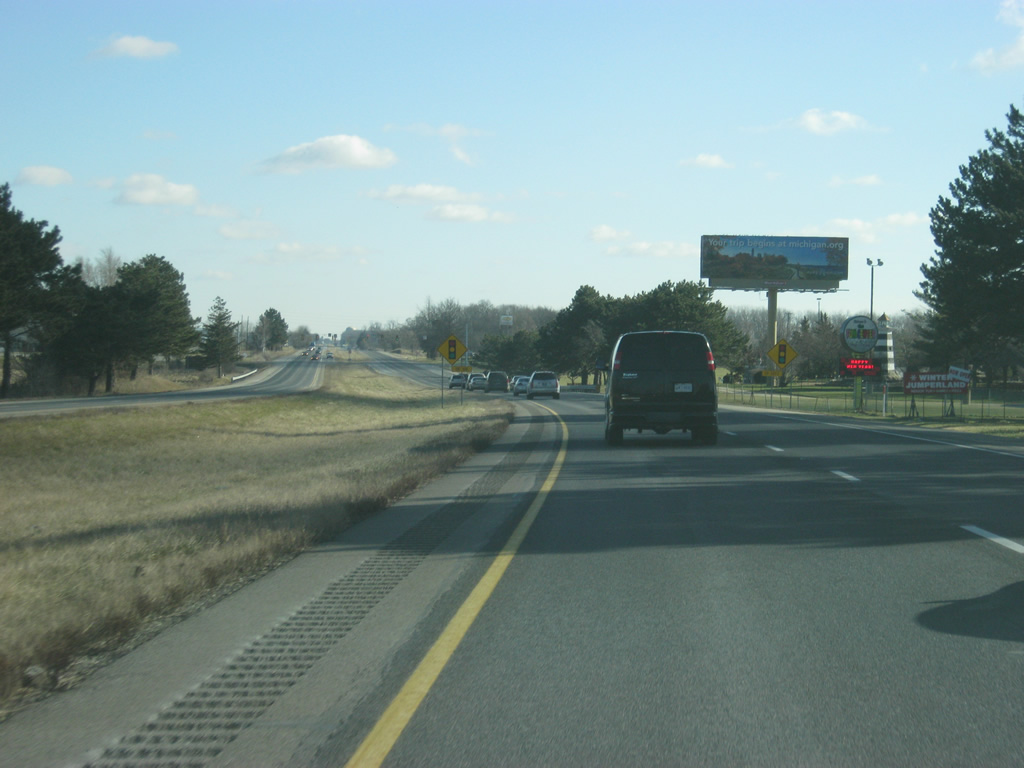
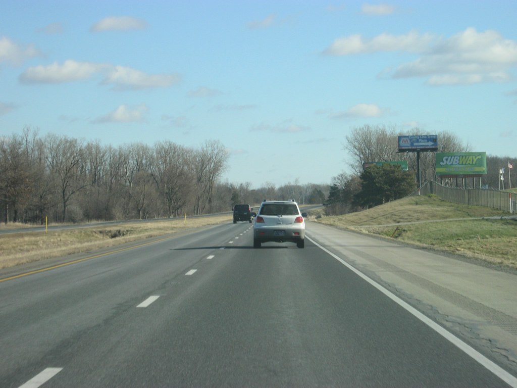
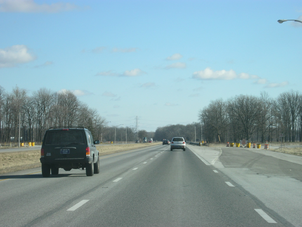
| Upon entering Whitley County, U.S. 30 nears the junction with SR 5. SR 5 travels for 96 miles from SR 22 at Upland in Grant County north through the communities of Warren, Huntington, South Whitley, Ligonier, and Shipshewana, ending north of there at SR 120. 12/30/11 |
|
| SR 5 heads south as Cedar Street through the town of Larwill (just south of U.S. 30) and goes for another 6.7 miles to South Whitley and Huntington, about 20 miles to the south. Ligonier, located in northwestern Noble County, is about 20 miles to the north. 12/30/11 |
|
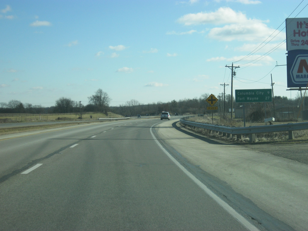
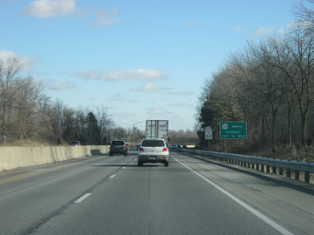
| Now at the junction with U.S. 30 and SR 5 on the north side of Larwill. 12/30/11 |
|
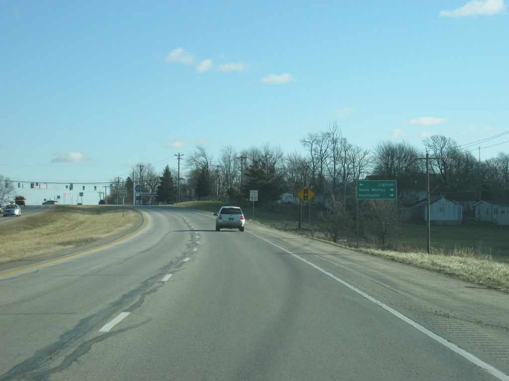
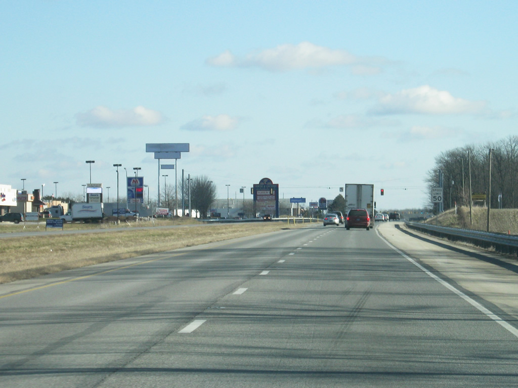
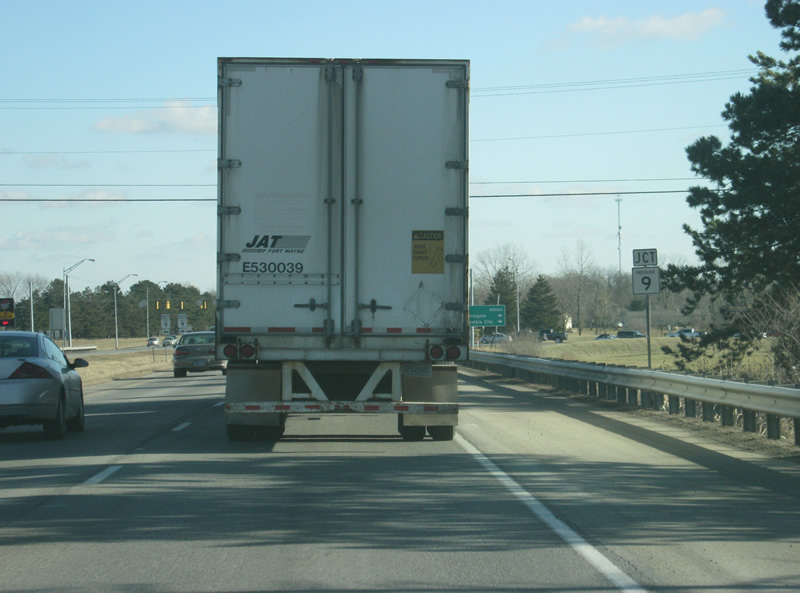
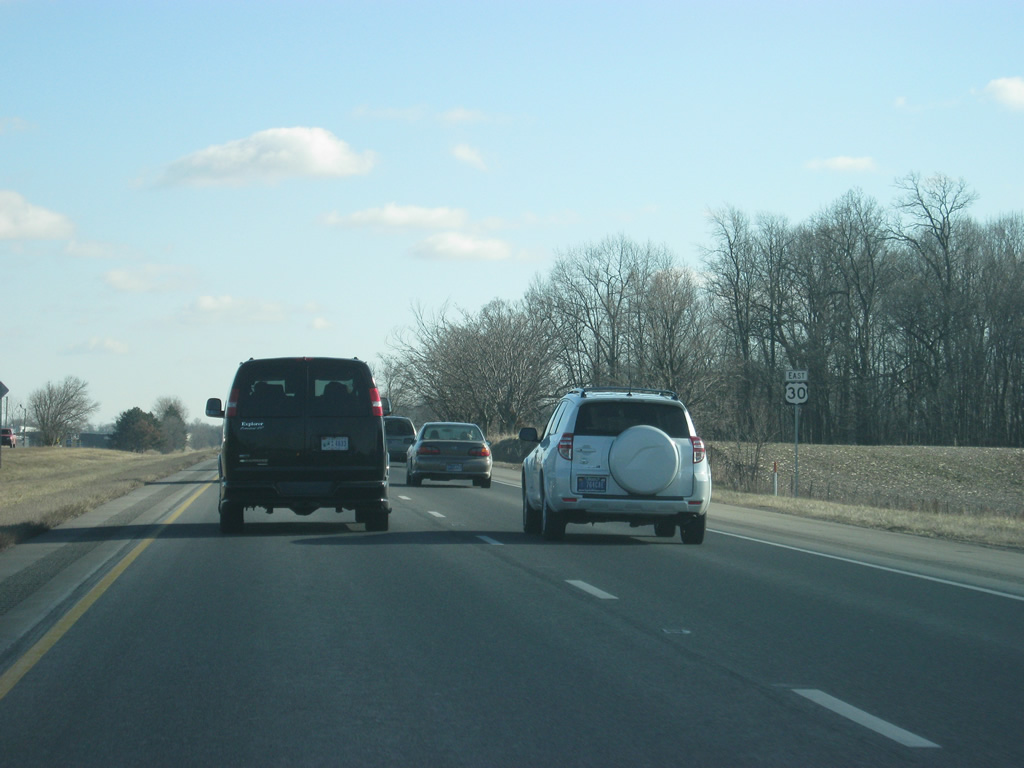
| East of SR 5, Columbia City is nine miles down the highway with Fort Wayne at 27 miles. 12/30/11 |
|
| East of SR 5 and Larwill, U.S. 30 continues 7.1 miles toward the next community of Columbia City. 12/30/11 |
|
| Entering the Whitley County seat of Columbia City (population 8,750) along U.S. 30 east. Most of Columbia City lies to the south of U.S. 30, but due to its presence on the major highway, it has become a commuter suburb for the larger Fort Wayne area. Travel on U.S. 30 through Columbia City often slows at peak travel periods. Up ahead is the junction with Lincolnway, which follows the original Lincoln Highway and U.S. 30 into Downtown Columbia City. 12/30/11 |
|
| East of Lincolnway, U.S. 30 enters the commercialized part of Columbia City. A frontage road (with the three names of Connexion Way, Plaza Drive, and Frontage Road) serves the shopping centers, restaurants, and other businesses to the north of U.S. 30 with access at the various roads that intersect with U.S. 30. Up ahead is the next stoplight in Columbia City along U.S. 30, for Armstrong Drive. 12/30/11 |
|
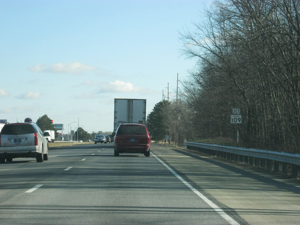
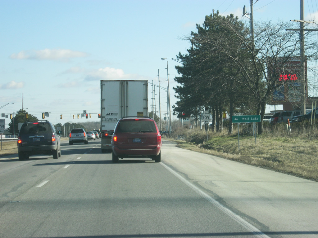
| East of the Armstrong Drive intersection, the next stoplight along U.S. 30 is with SR 109 north (Line Street). SR 109 exists as two highways in the state, the first down in Henry, Hancock and Madison Counties and the second, an 11.68 mile stretch from U.S. 30 north to U.S. 33 in Noble County. 12/30/11 |
|
| The town of Wolf Lake is the only community along SR 109 and its located at the highway's northern terminus with U.S. 33. 12/30/11 |
|
| Entering the stoplight intersection with U.S. 30 and SR 109 north (Line Street). To the south, Line Street heads into Downtown Columbia City. Unlike its other sibling, SR 109 does not connect with its parent route, SR 9, but it comes within a short distance of the highway and at one time did connect with it in Downtown Columbia City. 12/30/11 |
|
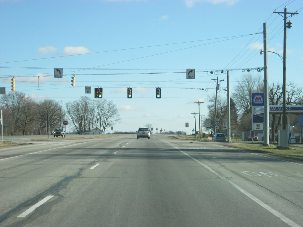
| The next stoplight to the east of SR 109 north (Line Street) is with SR 9 (Main Street). SR 9 goes for 196 miles from SR 46 near Columbus northward through Shelbyville, Greenfield, Pendleton, Anderson, Marion, Huntington, Columbia City, Albion and LaGrange before crossing into Michigan near Sturgis, Michigan. 12/30/11 |
|
| The Noble County seat of Albion is 18 miles to the north along SR 9. Huntington is 20 miles to the south along with Downtown Columbia City, only a short distance away along SR 9 (Main Street). 12/30/11 |
|
| East of SR 9 (Main Street), the next community along the highway is the Allen County seat of Fort Wayne (20 miles) followed by the city of New Haven (26 miles). 12/30/11 |
|
| U.S. 30 curves toward the southeast through the east side of Columbia City area en route toward Fort Wayne. 12/30/11 |
|
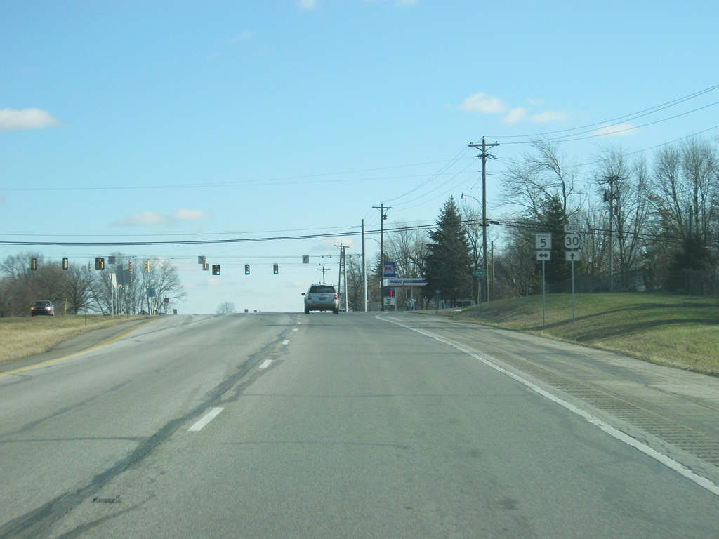
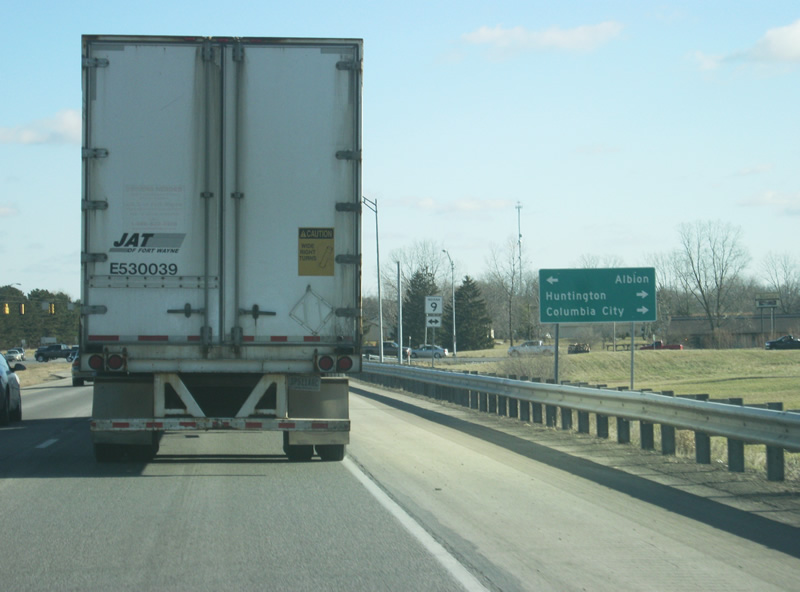
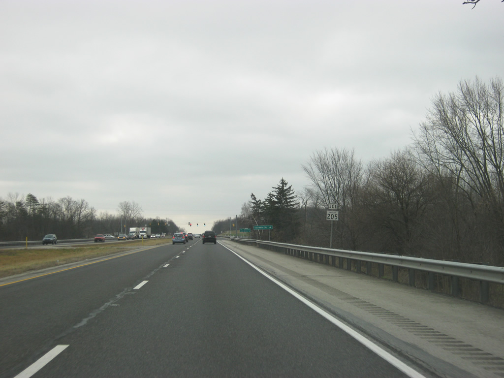
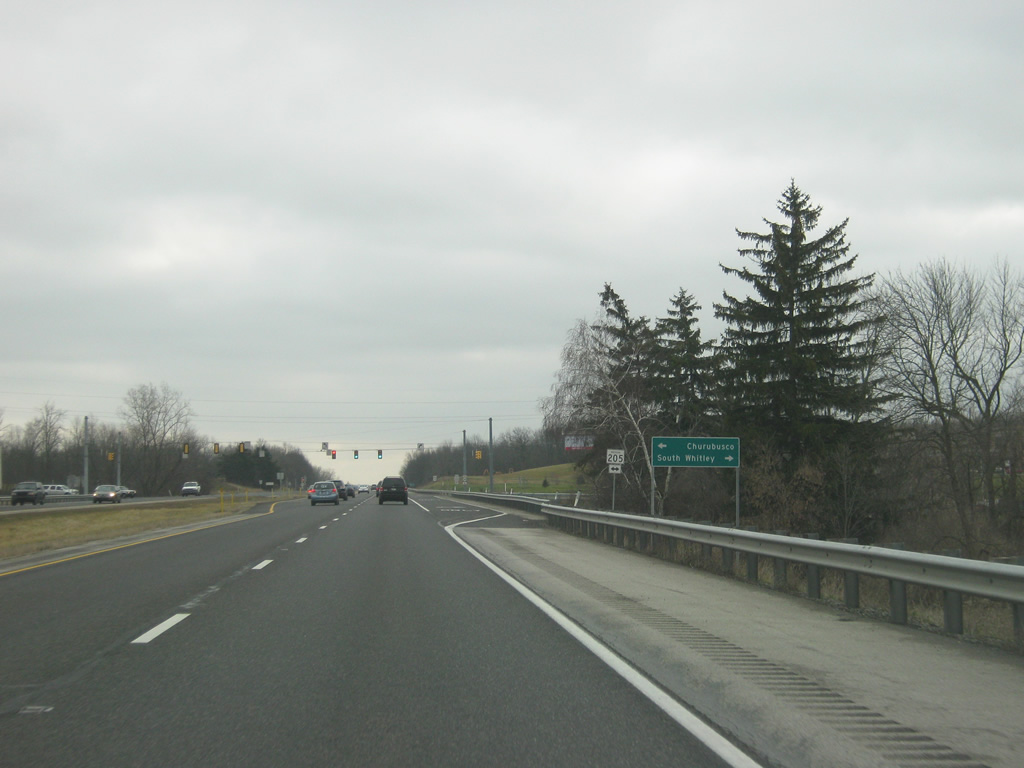
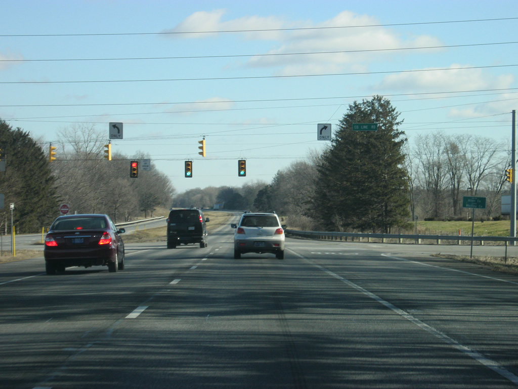
| The final stoplight intersection for Columbia City is ahead with SR 205, a 32 mile highway that goes from South Whitley through Columbia City and north to its terminus in Garrett at SR 327. 12/30/11 |
|
| The community of South Whitley, via Columbia City, can be reached along SR 205 south while Churubusco lies at the crossroads of U.S. 33 and SR 205 north. The Parkview Whitley Hospital campus is located just south along SR 205 from U.S. 30 and serves as the primary health care center for Columbia City and Whitley County. 12/30/11 |
|
| A view of U.S. 30 as it leaves the Columbia City. From this point eastward, U.S. 30 becomes an earnest commuter route for the larger Fort Wayne area. 12/30/11 |
|
| U.S. 30 approaches the intersection with County Road 300 East and Lincoln Way Road. Here, the former routing of the Lincoln Highway and U.S. 30 meet back up with the present day U.S. 30. 12/30/11 |
|
| A U.S. 30 reassurance shield to the east of the intersection with County Road 300 East / Lincoln Way Road. 12/30/11 |
|
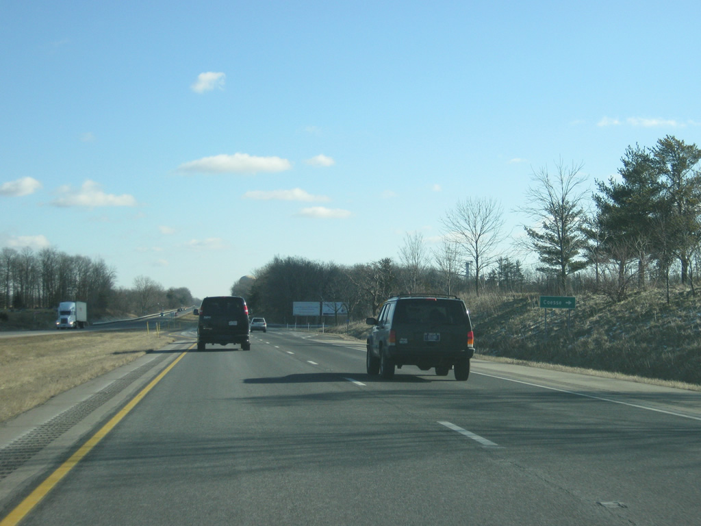
| Now at the intersection with County Road 500 East, which heads south into the town of Coesse. 12/30/11 |
|
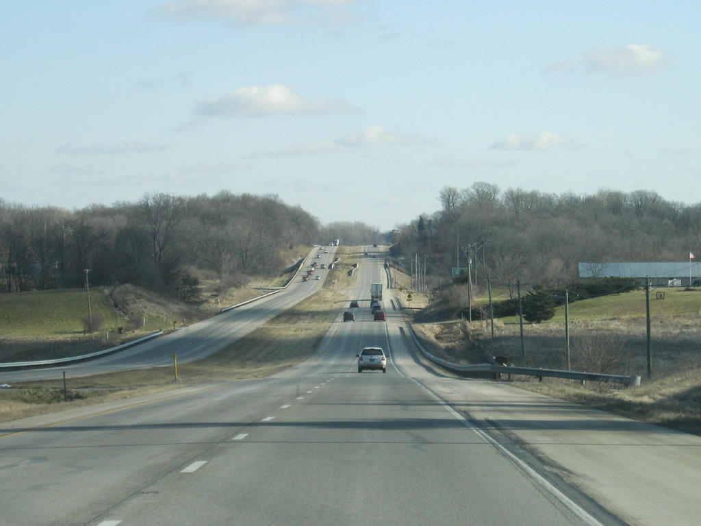
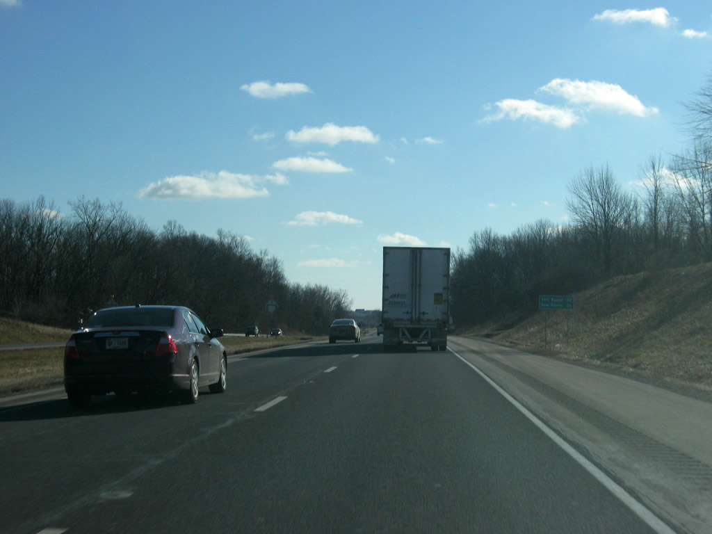
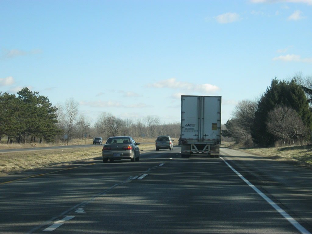
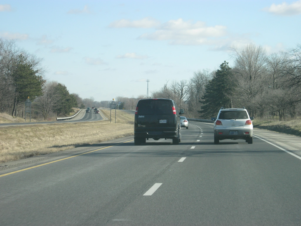
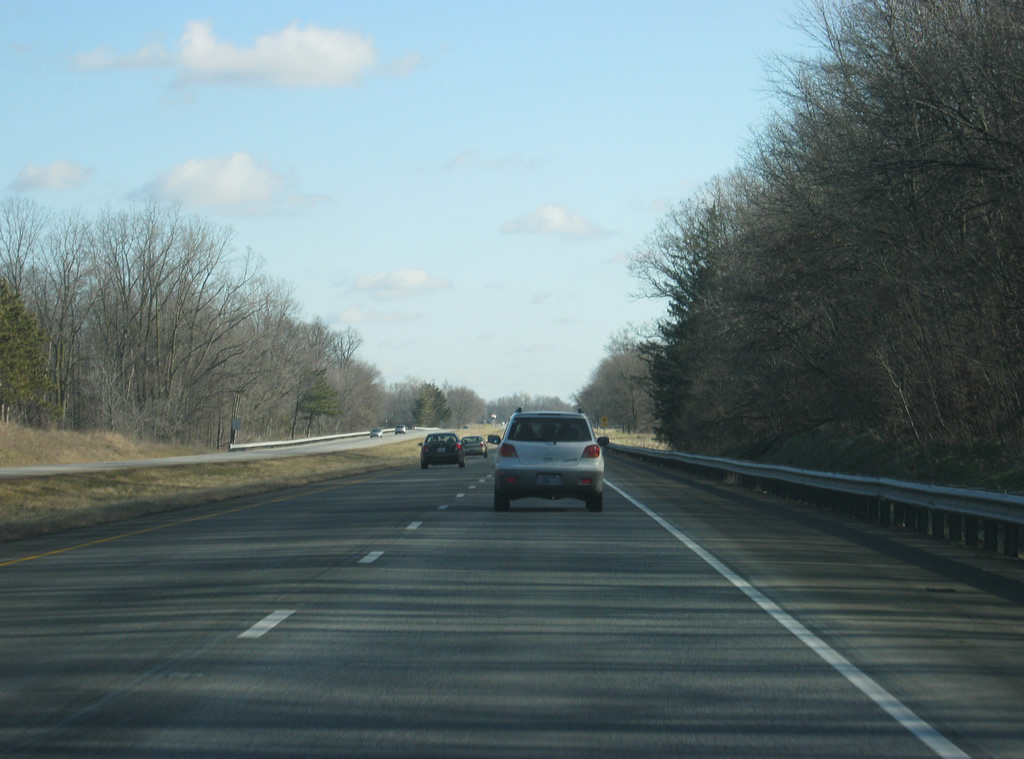
| Views of U.S. 30 as it crosses eastern Whitley County. The highway passes by several industrial areas on the approach to the Allen County line. Traffic counts along U.S. 30 east of Columbia City increase to over 20,000 vehicles per day. With the exception of the Warsaw area, this is the heaviest traffic U.S. 30 has been since Valparaiso. 12/30/11 |
|
| At County Line Road, U.S. 30 enters Allen County (population 355,329). Allen County, the home of Fort Wayne, is the largest county in area within Indiana and the state's third most populous county. It is also the final county that U.S. 30 crosses in the state. 12/30/11 |
|
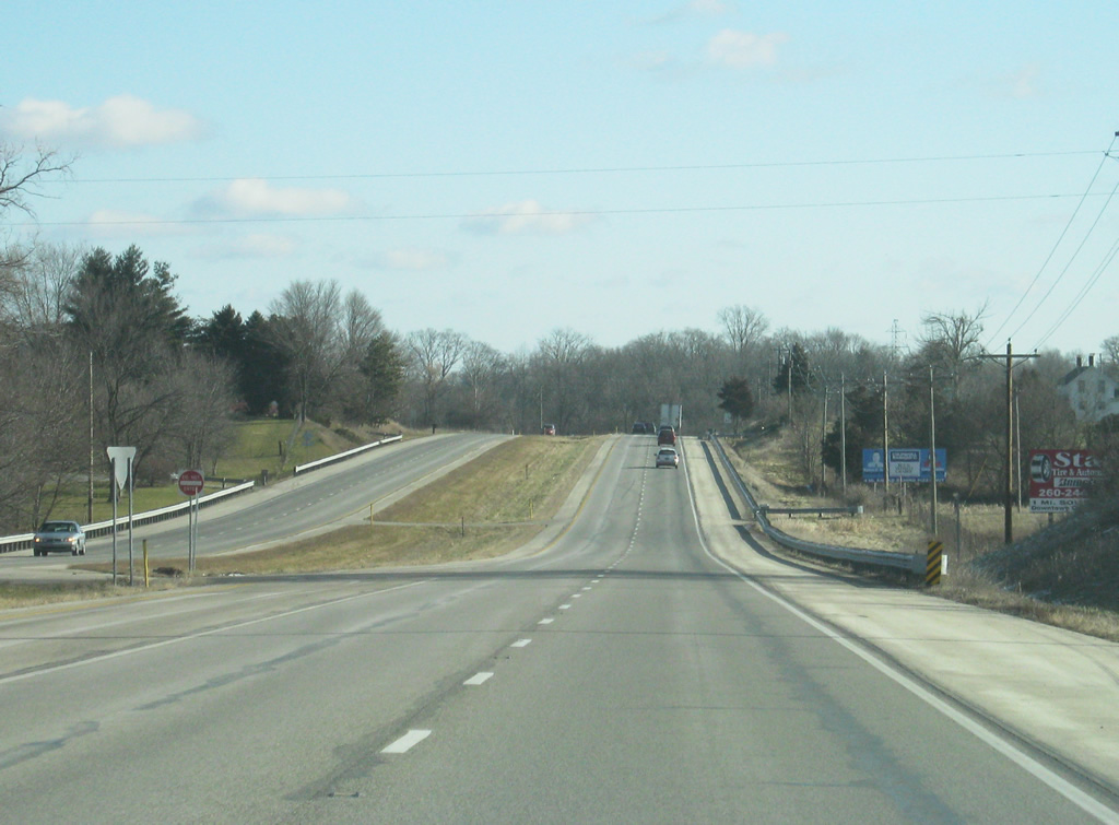
| East of County Line Road, U.S. 30's path across western Allen County remains rural as the traffic remains steady toward Fort Wayne. 12/30/11 |
|
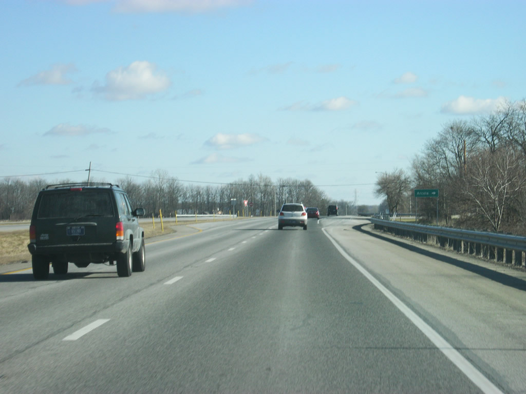
| Nearing the intersection with Solon Road, which heads to the town of Arcola via Yellow River and Eme Roads. 12/30/11 |
|
| East of the next intersection with Leesburg Road, U.S. 30 passes by a pair of abandoned rest areas. Notably, these were the last two rest areas to exist on non-interstate highways in Indiana and were in use until the late-2000s. 12/30/11 |
|
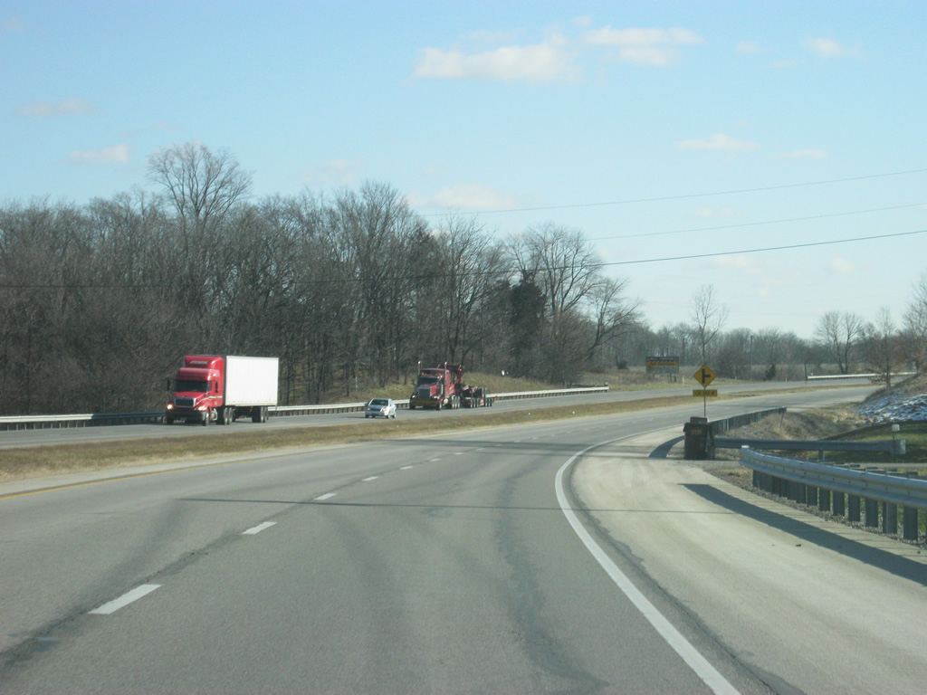
| U.S. 30 passes through more agricultural fields as it continues east toward the city of Fort Wayne. Not until it nears the interchanges with U.S. 33 north and Interstate 69 / SR 930 east will the highway truly enter the urbanized part of Fort Wayne. 12/30/11 |
|
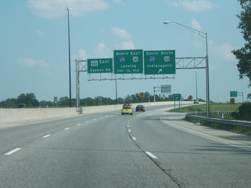
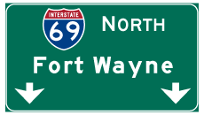
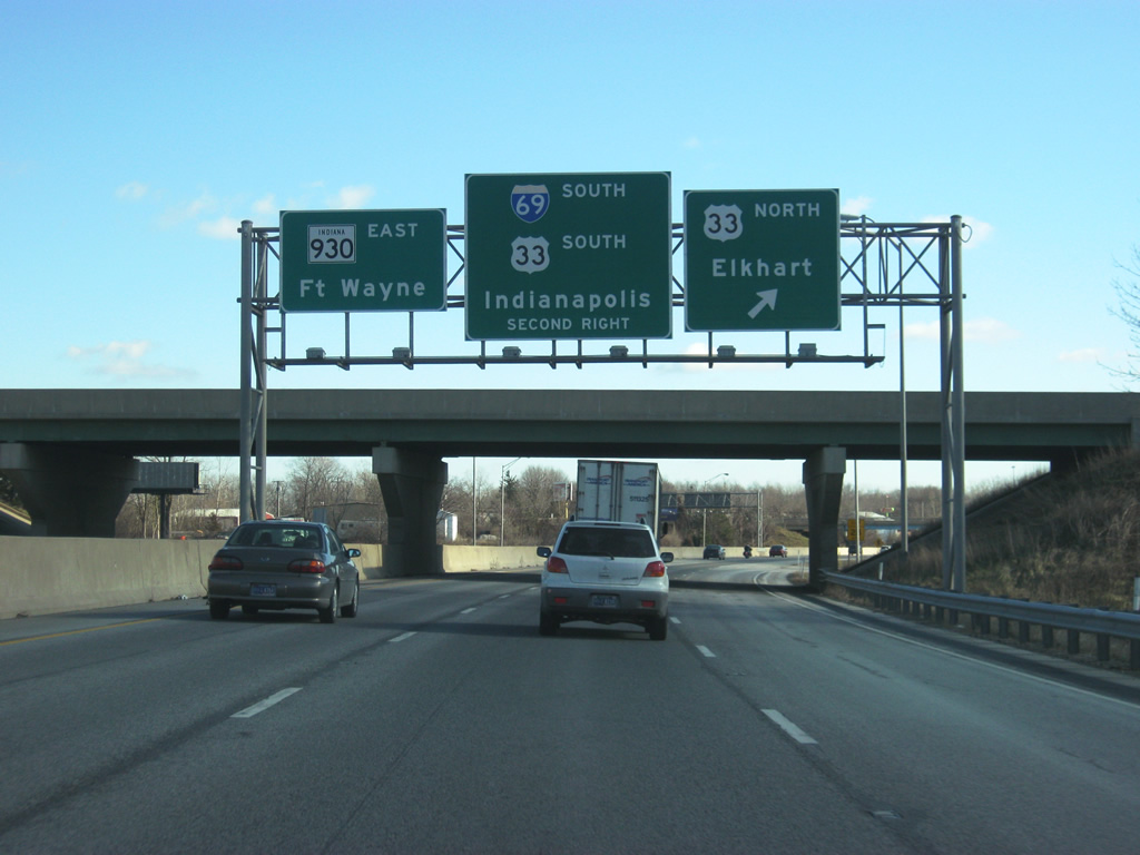
| After crossing the intersection with Kroemer Road, U.S. 30 is now one mile away from the interchange with Interstate 69, and about 3/4 of a mile from U.S. 33 north (Goshen Road). Interstate 69 travels for 358 miles from Interstate 465 in Indianapolis north through Fort Wayne and past Angola, Lansing and Flint before ending at the Blue Water Bridge in Port Huron, Michigan at the Canadian border. In Indiana, the highway is currently 157 miles in length but will be extended to go for about 330 miles from Evansville in the far southwest north to Indianapolis. Eventually, the highway will be extended south to the Mexican border in Texas. 12/30/11 |
|
| Before reaching Interstate 69 however, U.S. 30 sees an interchange with U.S. 33 north. U.S. 33 travels for 94.75 miles across Indiana, from Elkhart to the northwest, through Fort Wayne and Decatur. The highway forms the main route between the Fort Wayne and Michiana (South Bend, Mishawaka, and Elkhart) areas. Nationally, the highway goes for 709 miles from Elkhart to Richmond, Virginia. At this point, U.S. 30 enters the city of Fort Wayne (population 253,691). Fort Wayne, the Summit City, is the business and services hub of Northeast Indiana, along with parts of Northwest Ohio and Southern Michigan and has been for years the second largest city in the state. 12/30/11 |
|
| Now at the trumpet interchange between U.S. 33 (Goshen Road) north and U.S. 30 east. The city of Elkhart is about 70 miles to the northwest of here. U.S. 33 south follows U.S. 30 briefly to the cloverleaf interchange with Interstate 69, where it joins the interstate south to Interstate 469 on the southwest side of the city. From that point, it follows the Fort Wayne beltway to the east to Exit 11 where it continues to the southeast. SR 930, a 13 mile state highway, follows the routing of former U.S. 30 through the cities of Fort Wayne and New Haven. 12/30/11 |
|
| U.S. 30 east & U.S. 33 south enter the cloverleaf interchange with Interstate 69 / SR 930 east. U.S. 33 heads southward along Interstate 69 while U.S. 30 follows Interstate 69 to the northern terminus with Interstate 469, about six miles to the north. From that point, it follows Interstate 469 to the east and south to Exit 19 where it finishes its final 14 miles in Indiana before crossing into Ohio. Straight ahead, SR 930 becomes a "business route" for U.S. 30, continuing Goshen Road southward to Coliseum Boulevard, a four lane expressway bypass of the north side of Fort Wayne. Congestion along Coliseum Boulevard necessitated the construction of Interstate 469 to the north. 09/19/09 |
Page Updated 03-06-2012.

 East
East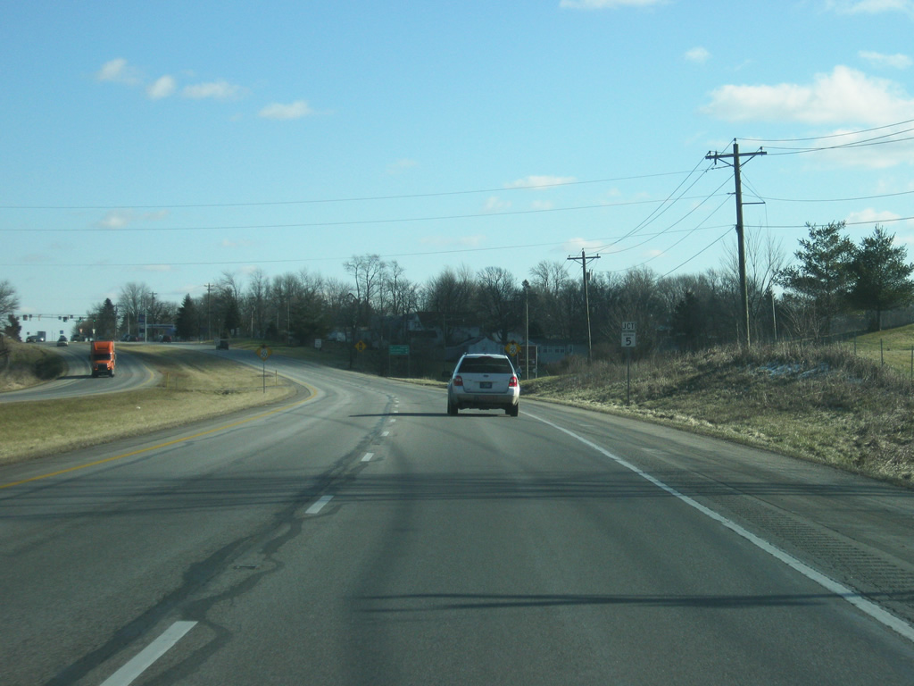

 South
South