
U.S. 64 travels across the width of southern Tennessee from the Memphis-Arkansas Bridge to the North Carolina state line east of Ducktown.
U.S. 64 Tennessee Guides
Within Memphis, U.S. 64 overlaps with I-55/U.S. 61-70-79 across the Mississippi River to Crump Boulevard. U.S. 64 overlaps with U.S. 61 east to S Third Street and U.S. 70-79 to Danny Thomas Parkway. Danny Thomas Parkway takes U.S. 64-70-79 north to U.S. 51 at Union Avenue. The four routes combine east to Interstate 240, where U.S. 72 begins. U.S. 51 branches south two blocks to the east along Bellevue Boulevard. U.S. 64-70-72-79 remain along Union Avenue east to East Parkway, where U.S. 64-70-79 turn north to Overton Park and North Parkway.
U.S. 64-70-79 parallel Sam Cooper Boulevard to the north along Summer Avenue to the Memphis Beltway along Interstate 40. Summer Avenue angles northeast, taking U.S. 64-70-79 to SR 15 (Stage Road) in the city of Bartlett. U.S. 64 splits with U.S. 70/79 along Stage Road (SR 15) east to Wolfchase in east Memphis and the city of Lakeland.
Continuing beyond Memphis and Shelby County, U.S. 64 connects the county seats of Somerville, Bolivar and Selmer. East from an overlap with U.S. 45 around Selmer, U.S. 64 heads to Savannah, Waynesboro and bypasses around Lawrenceburg and Pulaski.
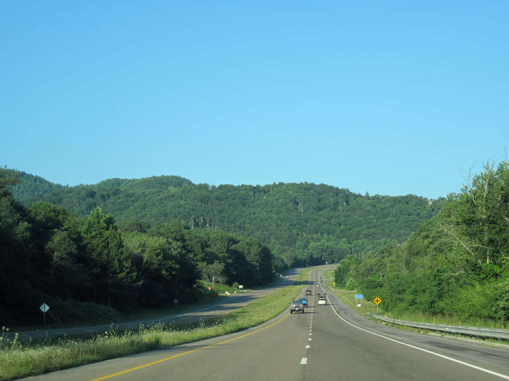
U.S. 64 crosses Interstate 65 in a rural area west of the Lincoln County line. Eastward, the highway advances to Fayetteveille where it ties into U.S. 231 and U.S. 431. U.S. 64 combines with U.S. 41A east from the Franklin County seat of Winchester to I-24 and U.S. 41 at Monteagle. U.S. 41/64 overlap southeast from Tracy Ciy to U.S. 72 at Haletown.
U.S. 72 combines with U.S. 64 again alongside U.S. 41 from Nickajack Lake and Raccoon Mountain east into the city of Chattanooga. U.S. 11 joins the three routes east on Cummings Highway around the north side of Lookout Mountain to Broad Street. Broad Street takes the four routes northward toward Downtown Chattanooga. U.S. 11/64 branch east from U.S. 41/72 along 20th Street. Paralleling I-24, U.S. 11/64 shift southward onto 23rd Street to the Oak Grove neighborhood.
U.S. 11/64 turn north alongside U.S. 41/76 for six blocks on Dodds Avenue through the Ridgedale community. U.S. 41/76 follow E Main Street west toward Downtown while U.S. 11/64 remain along Dodds Avenue north another 0.72 miles to McCallie Avenue. U.S. 11/64 line McCallie Avenue east from the Glenwood neighborhood into the Missionary Ridge Tunnels. Brainerd Road leads U.S. 11/64 east to the Hemphill, Belvoir and Brainerd Park neighborhoods north of I-24.
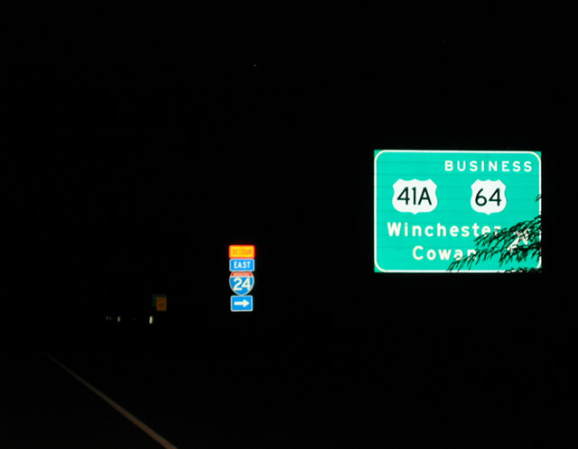
Crossing South Chickamauga Creek, U.S. 11/64 turn northeast and transition from Brainerd Road onto Lee Highway. The two routes join I-75 between Exit 7 and 11, then branch east to McDonald and Cleveland. U.S. 11/64 continue northward into Downtown Cleveland while U.S. 64 Bypass overlaps with U.S. 74 around the city. U.S. 64 follows Inman Street east from U.S. 11 to combine with U.S. 74 along Waterlevel Highway at the bypass. U.S. 64/74 overlap east 37.2 miles to the North Carolina.
 North
North  East
East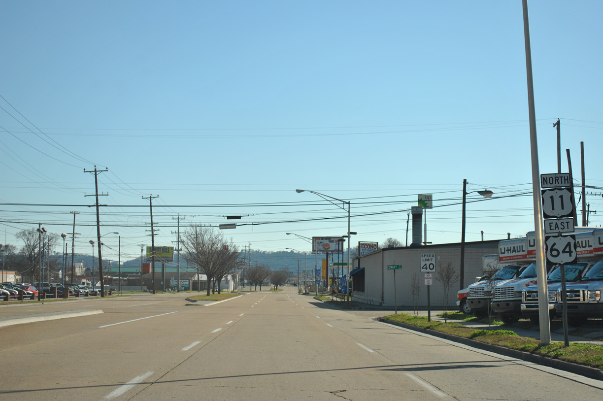
Confirming markers posted after the split with U.S. 41/72 (Broad Street).
01/20/13
01/20/13
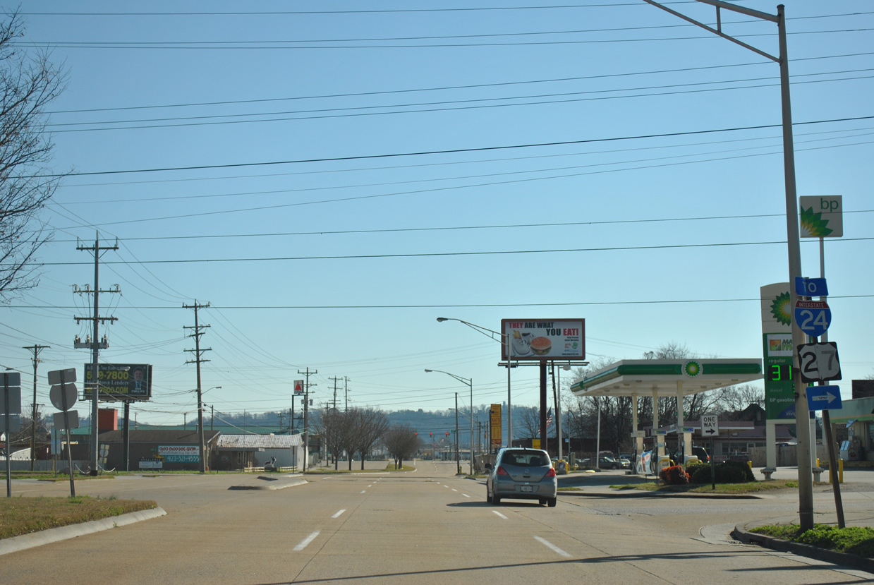
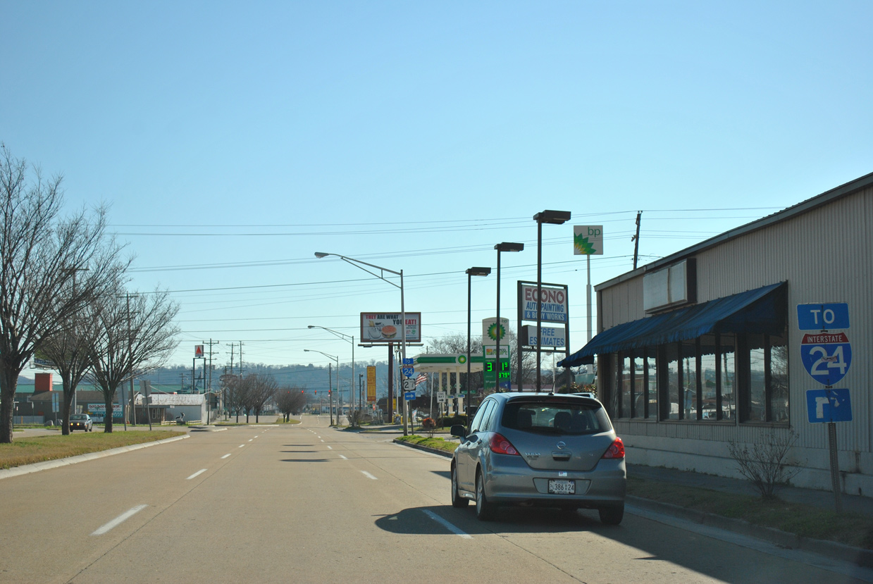
Williams Street heads one block south from U.S. 11/64 (W 20th Street) to entrance ramps for U.S. 27/I-124 north and Interstate 24 west.
01/20/13
 East East |
 | U.S. 64/74 proceed east from the Copper Basin toward the North Carolina line beyond Belltown Hill. 07/09/10 |
 | U.S. 64/74 advance east from Belltown Hill to Angelico Gap and the state line. 07/09/10 |
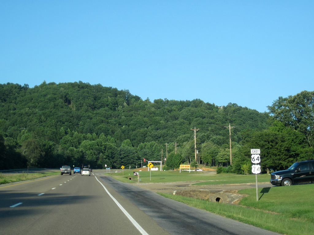
U.S. 64 follows a four lane bypass around the cities of Decherd and Winchester in Franklin County. U.S. 64 Business branches west from a diamond interchange alongside U.S. 41A to Downtown Winchester.
08/23/03
Connect with:
Interstate 24
Interstate 40
Interstate 65
Interstate 75
Interstate 240
U.S. 11
U.S. 27
Page Updated 08-21-2020.