

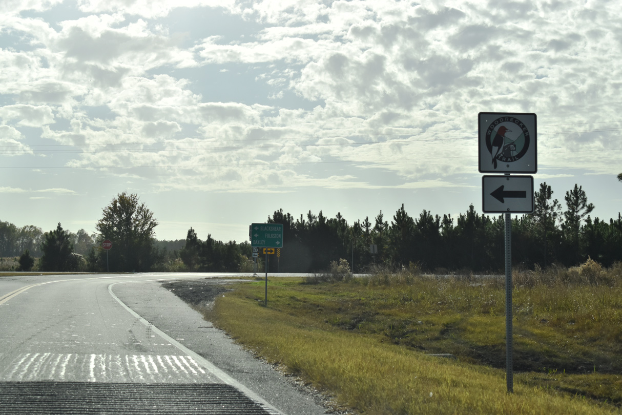
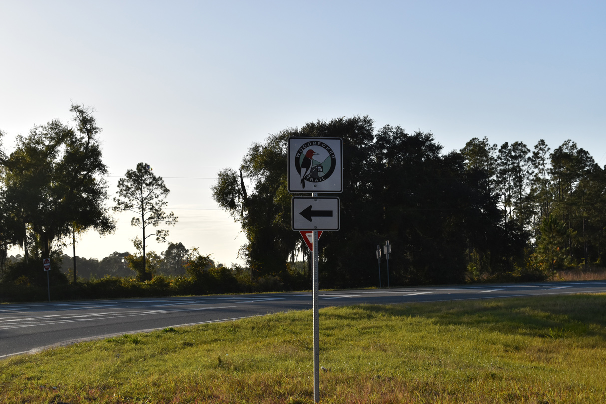
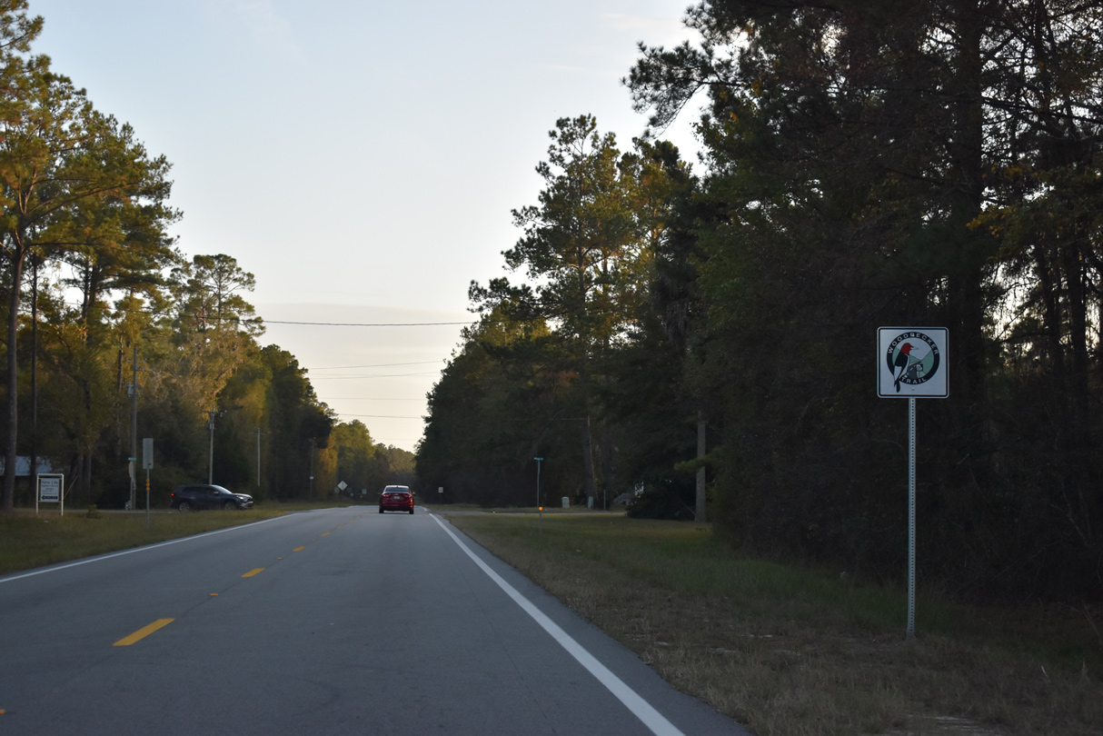
Georgia State Route 121 is part of a multi state highway with Florida State Road 121 south to Macclenny and South Carolina Highway 121 north from North Augusta. Stretching 237.88 miles north through the Peach State, SR 121 runs from the southernmost point south of St. George to Augusta. SR 121 is also part of the Woodpecker Trail, a historic touring route from North Florida to Augusta. Trailblazers mark the route throughout southeastern Georgia.
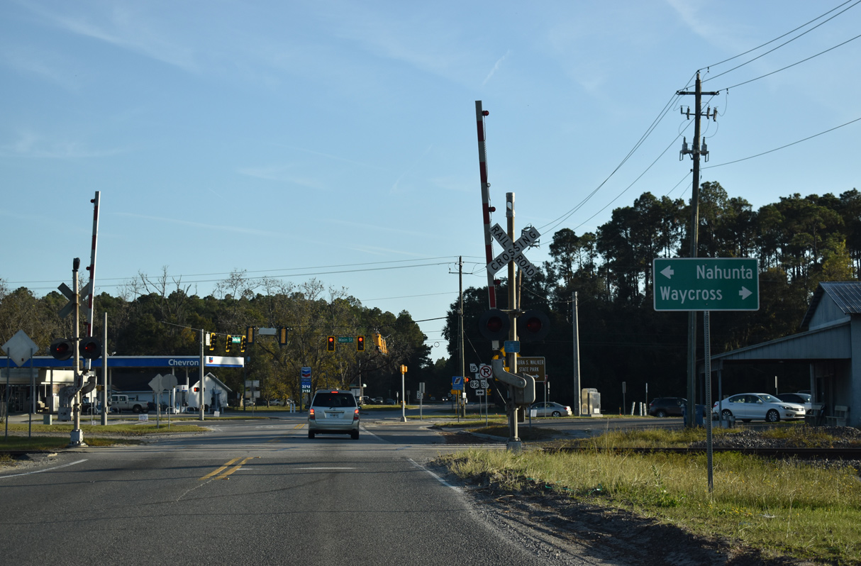
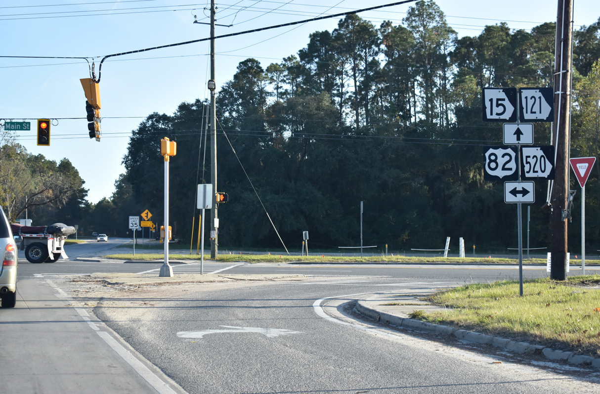
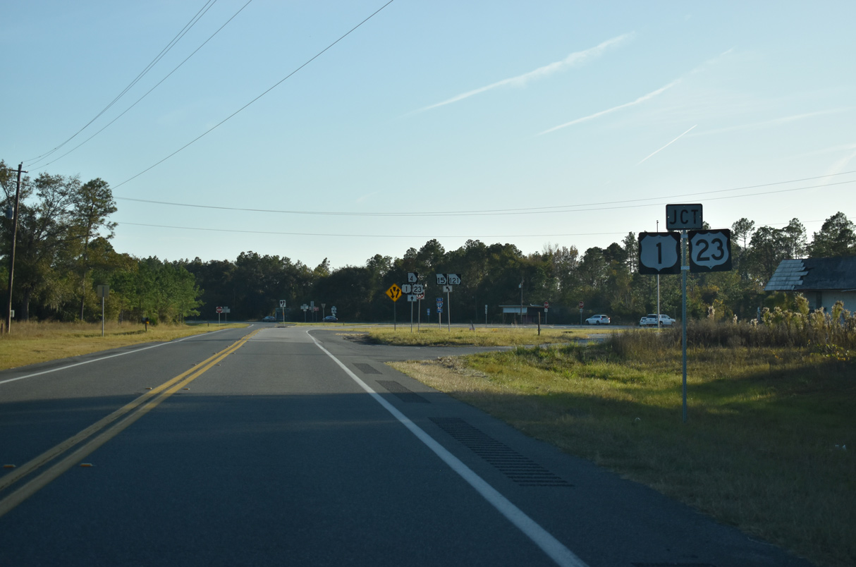
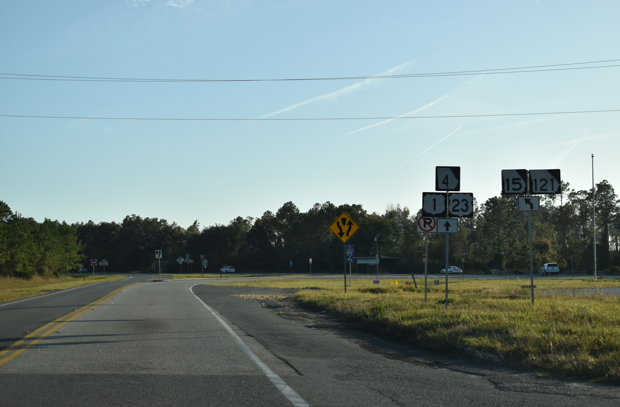
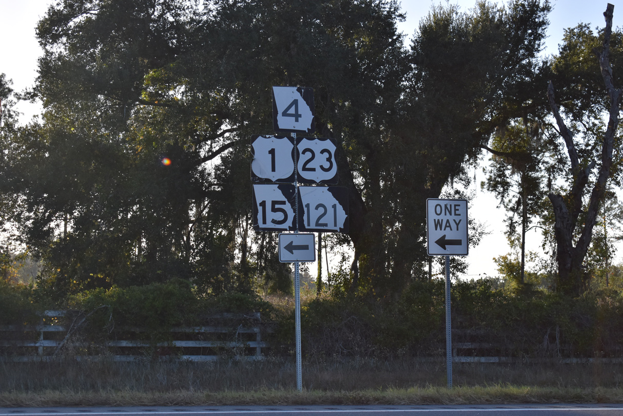
SR 121 initially overlaps with SR 23 north from the St. Marys River and Florida state line to Folkston. SR 23/121 combine with U.S. 1/23/301 and SR 4/15 for 2.09 miles from the Charlton County seat to the city of Homeland. U.S. 301/SR 23 branch north to Nahunta while SR 121 accompanies U.S. 1/23-SR 4/15 northwest toward Waycross.
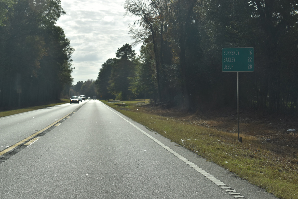
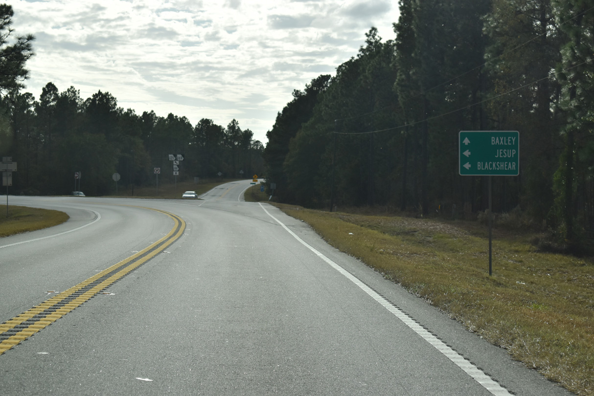
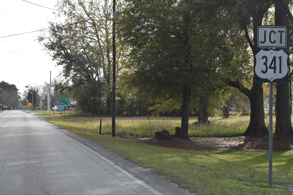
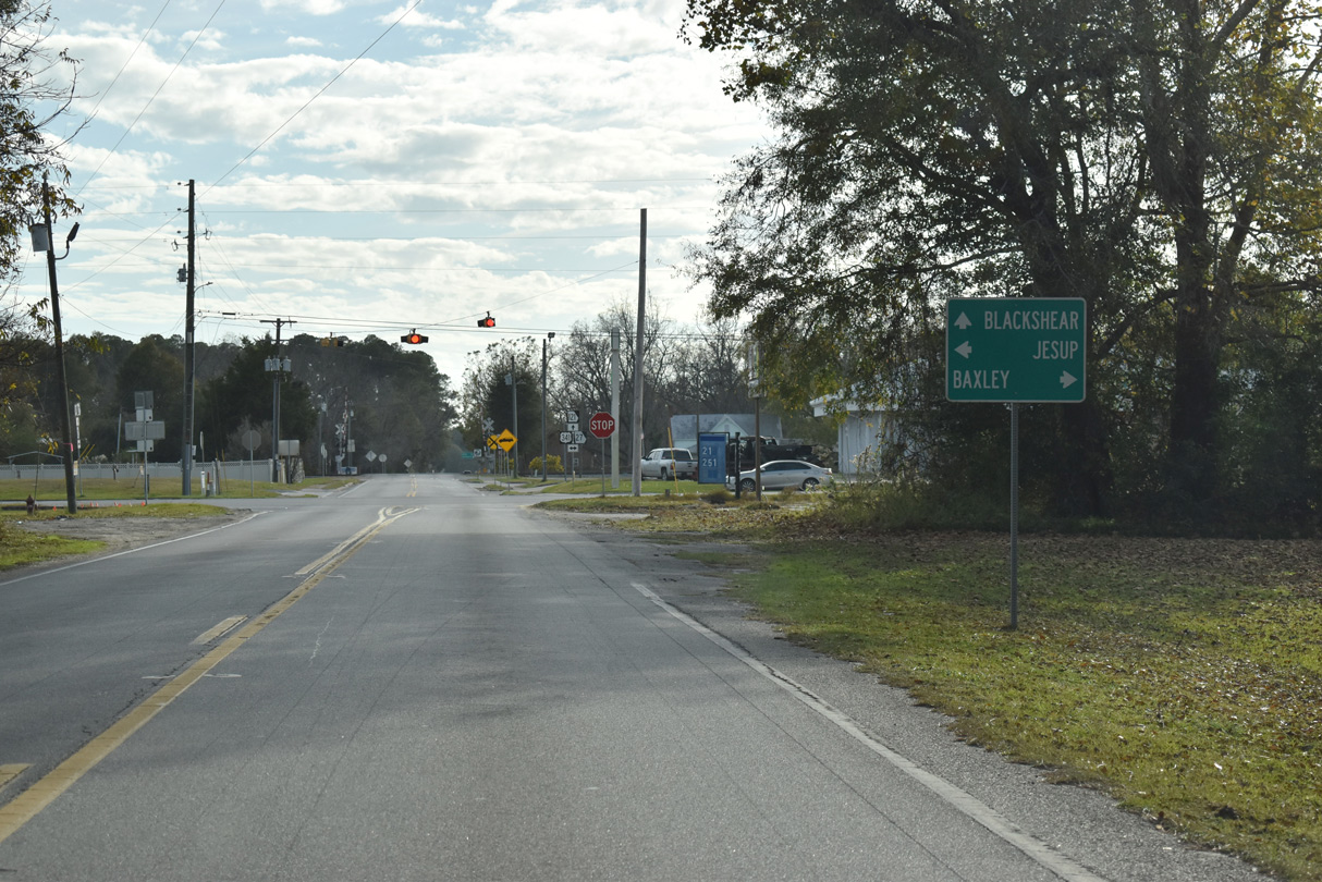
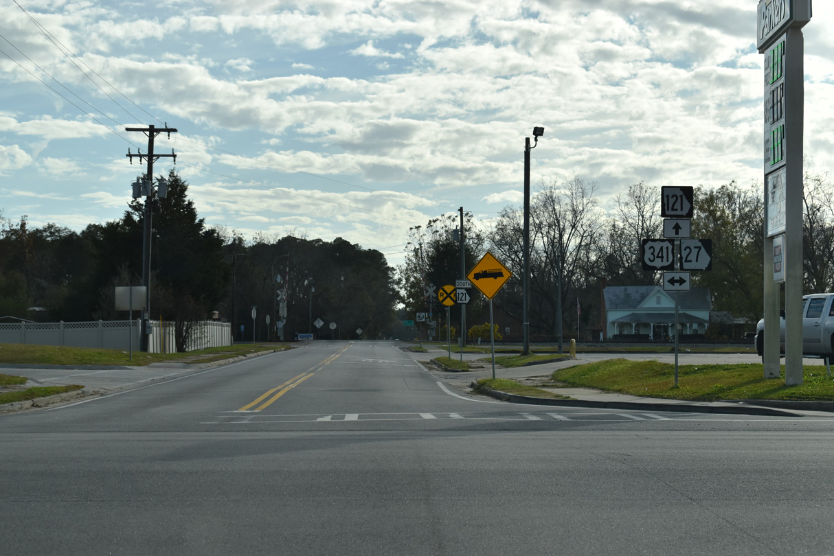
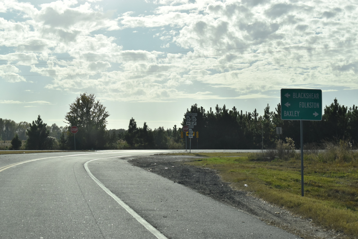
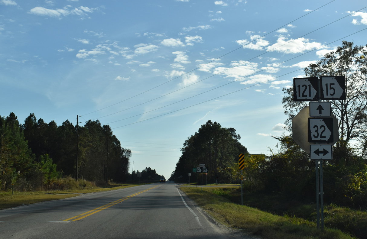
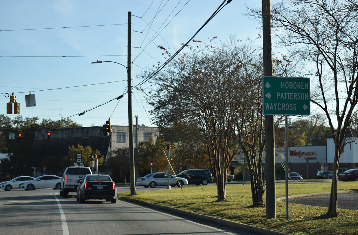
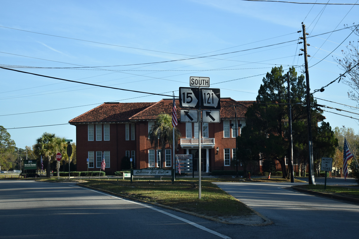
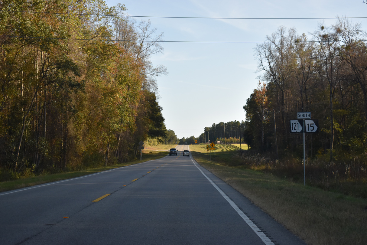
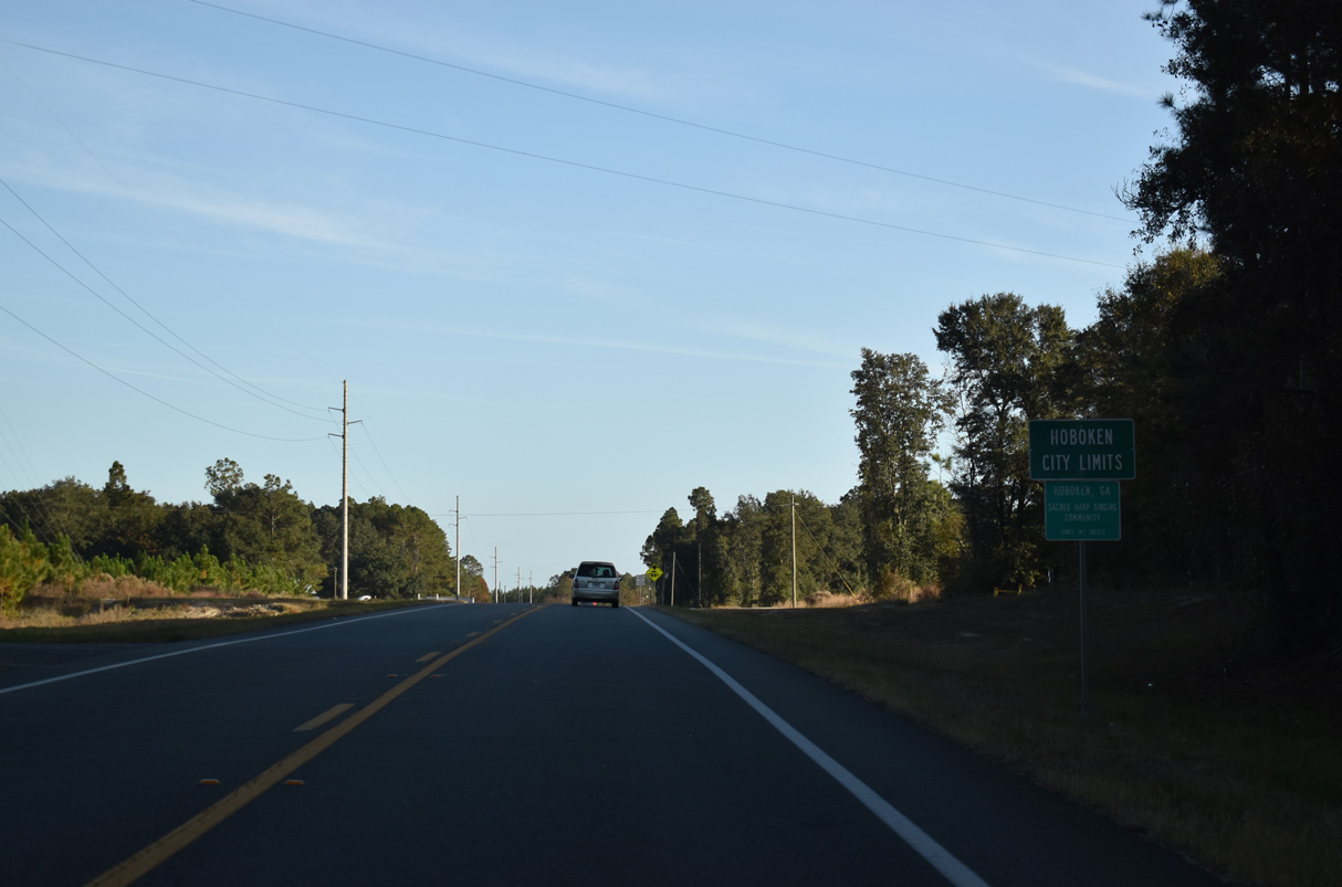
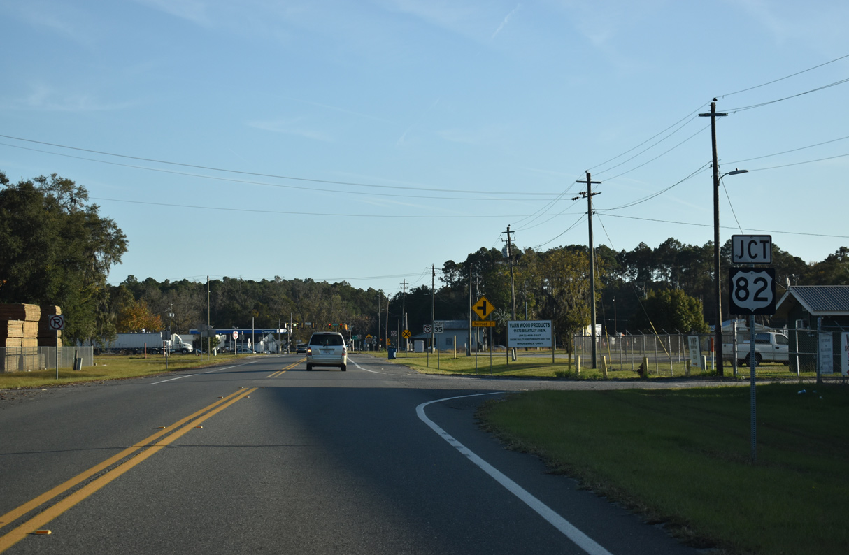
SR 15/121 part ways with U.S. 1/23-SR 4 ahead of the Brantley County line. The rural highway runs north to U.S. 82 at Hoboken and U.S. 84 at the Pierce County seat of Blackshear. Continuing north into Appling County, SR 15 separates from SR 121 to Baxley while SR 121 stays eastward to U.S. 341 at Surrency.
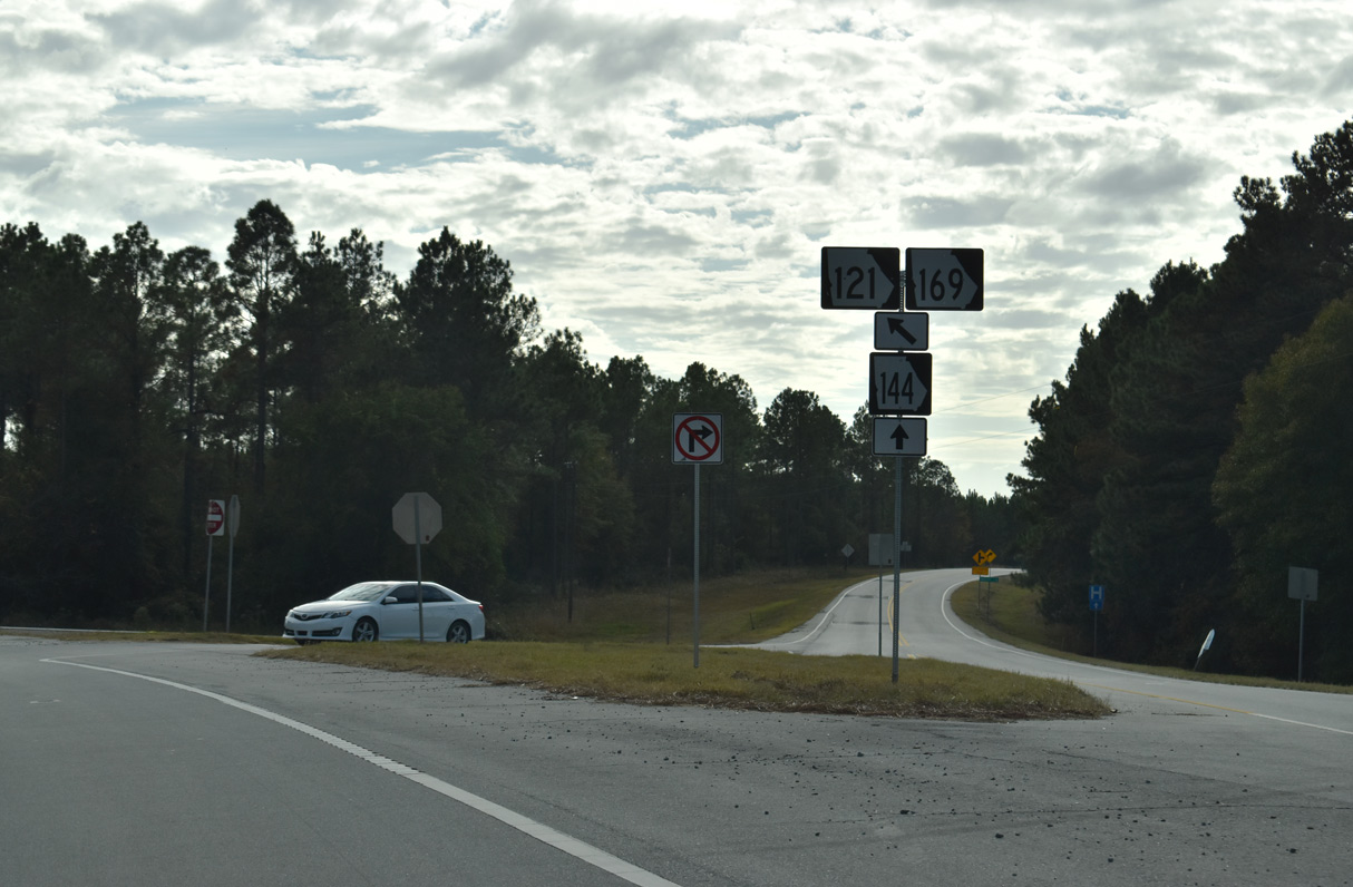
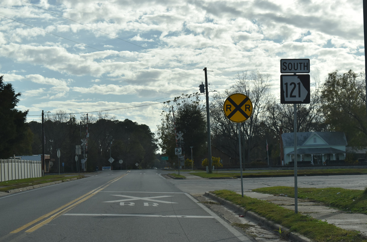
Just ahead of the Altamaha River and Tattnall County line, SR 121 combines with SR 144 east and SR 169 north for 6.71 miles. SR 144 branches east to Glennville while SR 121 leads northwest to rejoin SR 23 alongside SR 57 to the city of Reidsville. The three routes proceed north to Collins and Cobbtown.
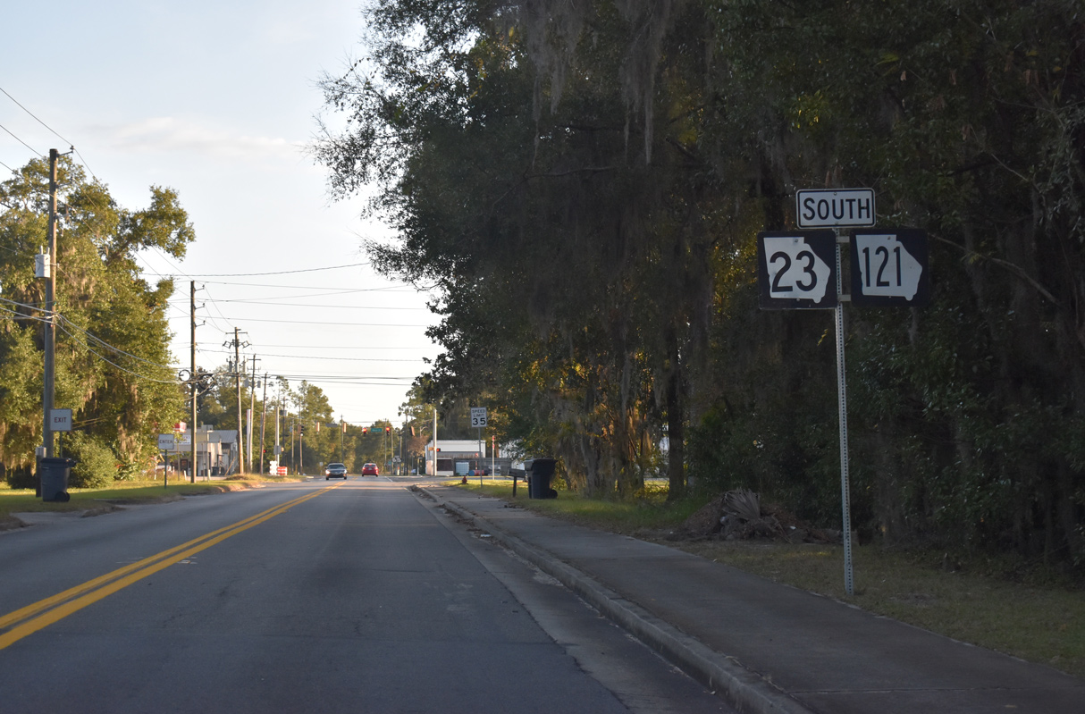
Turning northeast from SR 57 into Candler County, SR 23/121 head to Interstate 16 at the city of Metter. The two follow Lewis Street to SR 46 (Broad Street) in Downtown, where SR 23 branches west. SR 121 remains northward 25.21 miles to U.S. 25/SR 67 in Jenkins County. The remainder of MSR 121 in Georgia overlaps with U.S. 25 to Millen, Waynesboro and Augusta.

 South
South  West
West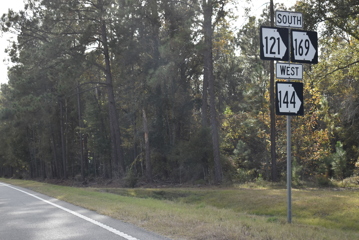
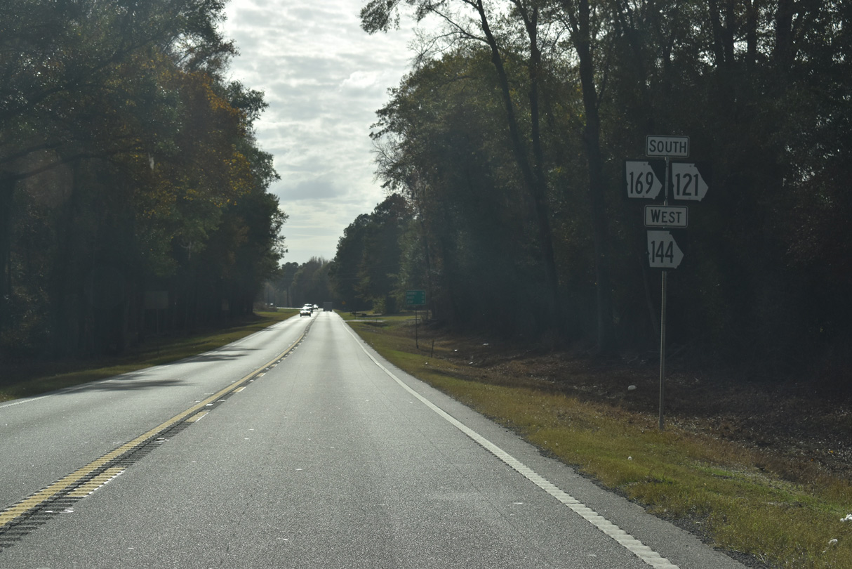
SR 144 west combines with SR 121/169 south at a wye intersection preceding this shield assembly by Rinaldo Thompson Road.
11/21/21

11/21/21
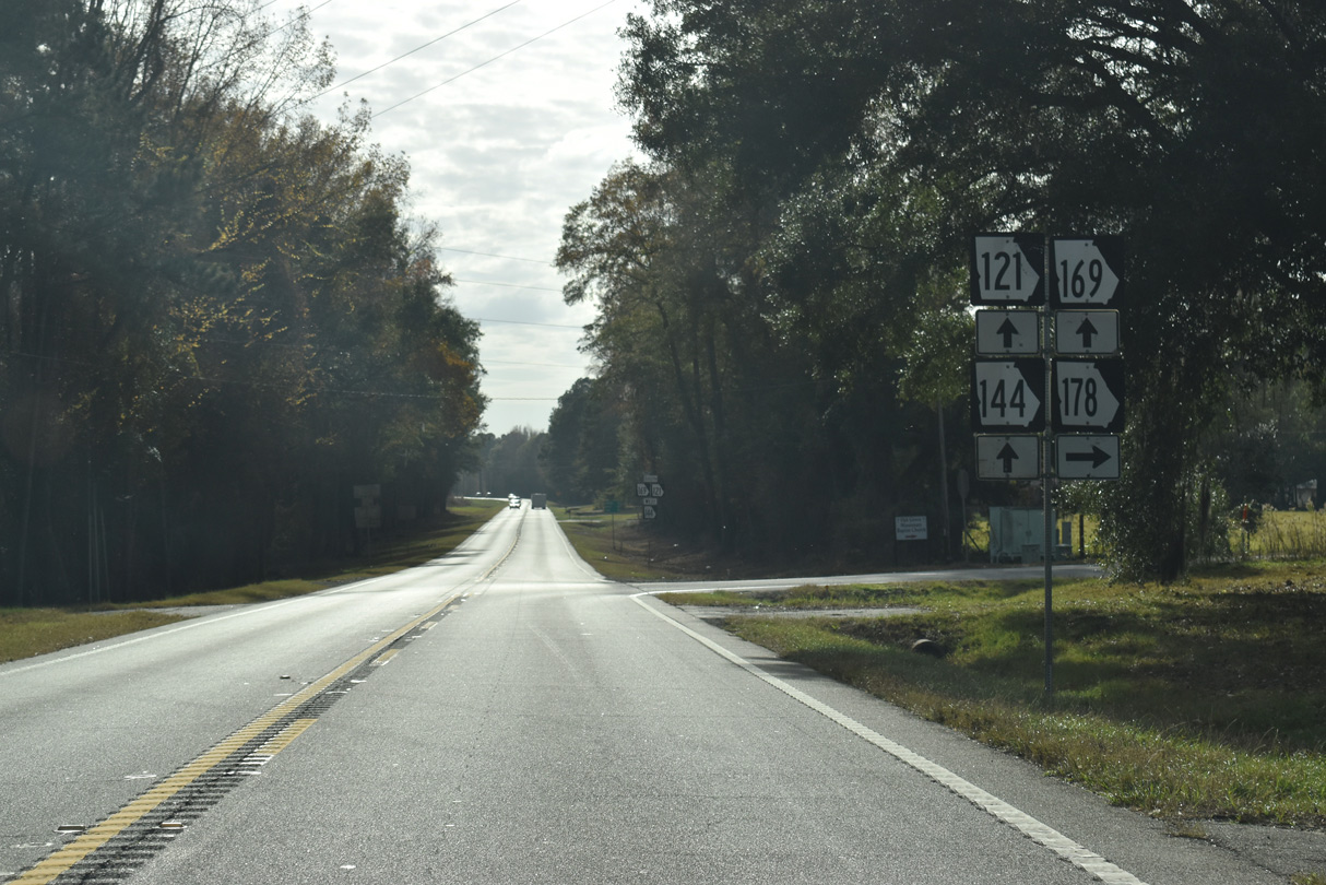
SR 178 constitutes a 29.42 mile long highway north from SR 121/144/169 to U.S. 1 in the Toombs County seat of Lyons.
11/21/21
11/21/21
11/21/21
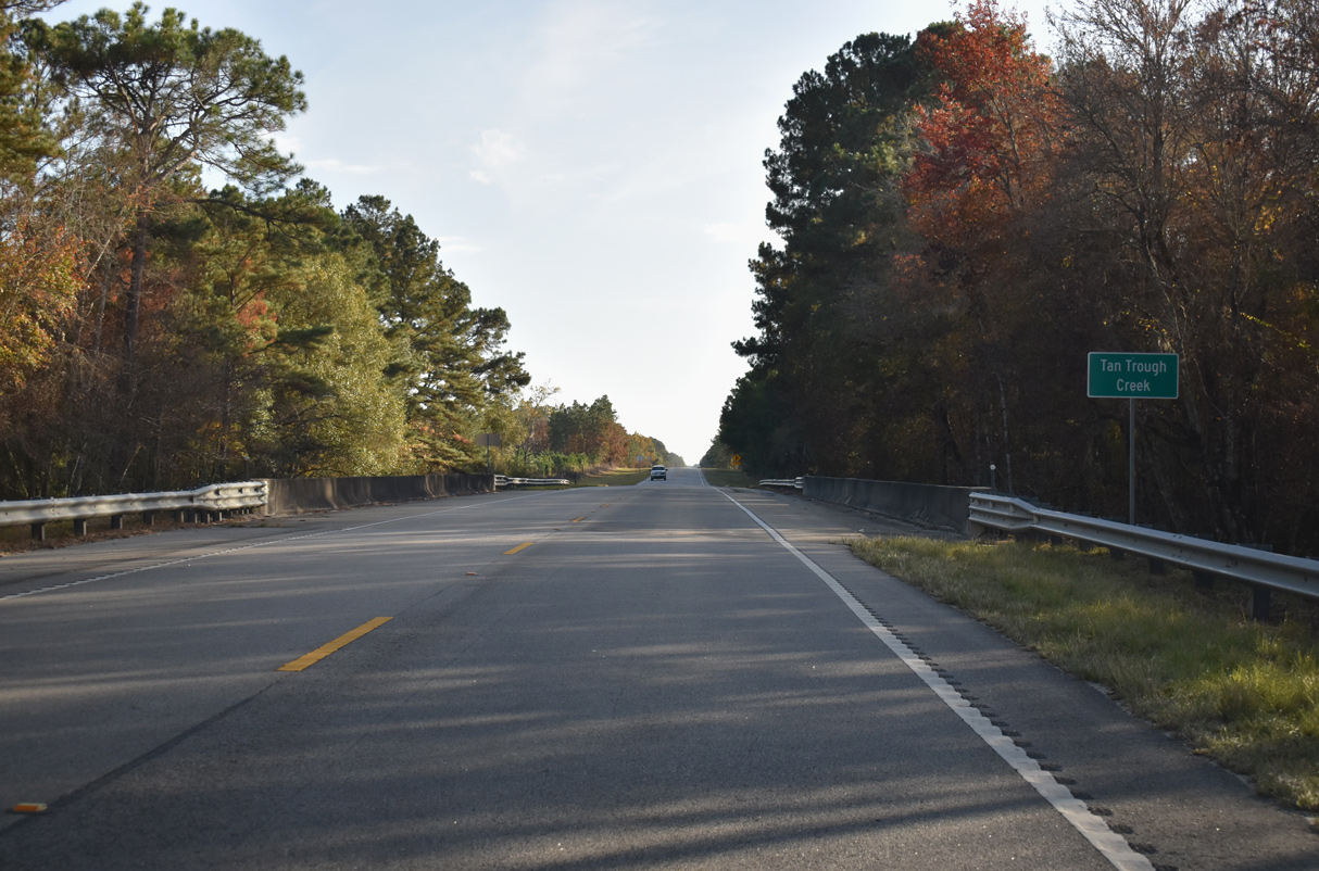
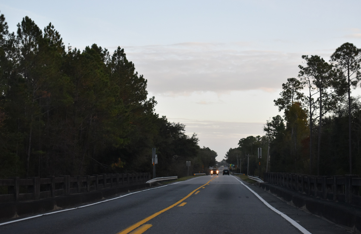
A flood relief bridge for the Altamaha River precedes the Appling County line along SR 121/144/169 south.
11/21/21
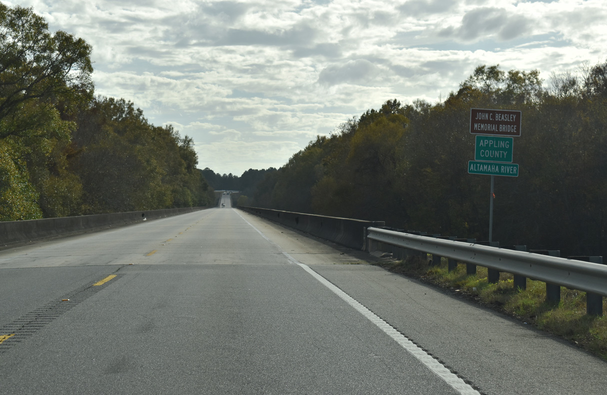
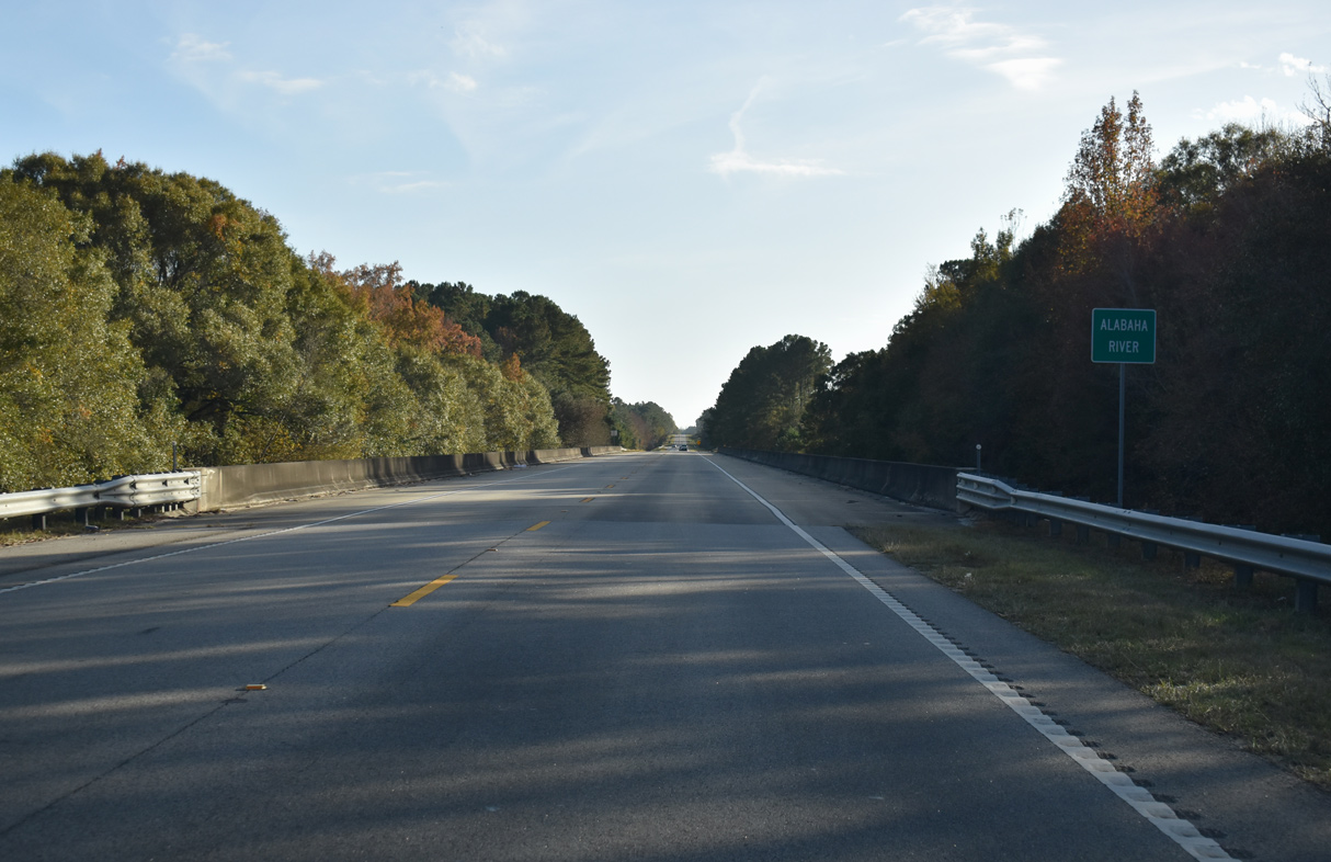
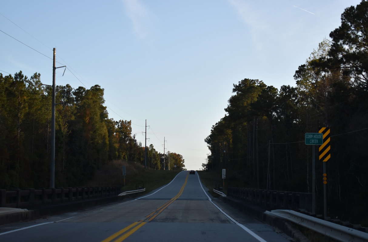
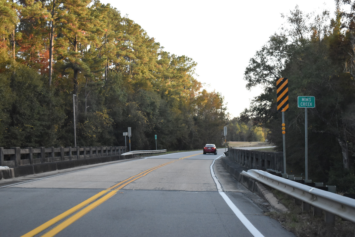
The Altamaha River marks the Tattnall and Appling County line across SR 121/144/169.
11/21/21

11/21/21
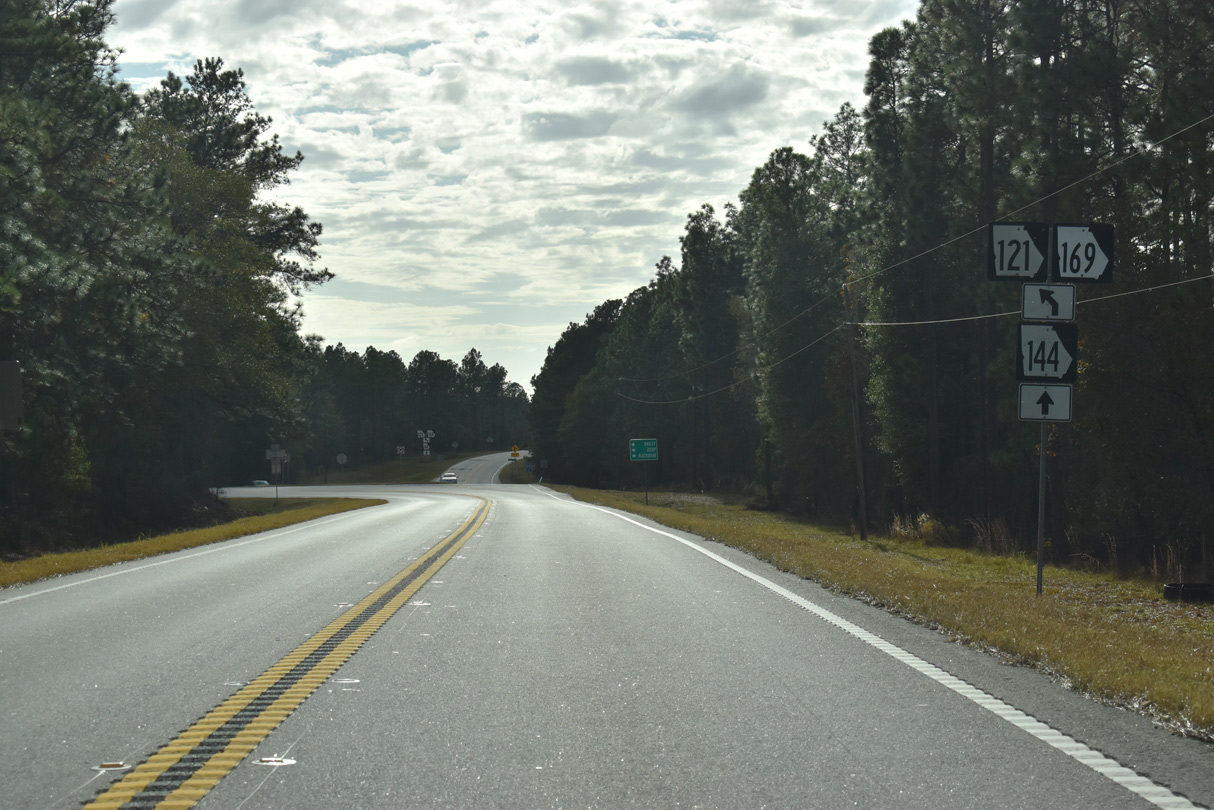
SR 144 branches southwest from SR 121/169 to U.S. 341 along the east side of Baxley.
11/21/21
11/21/21
11/21/21
South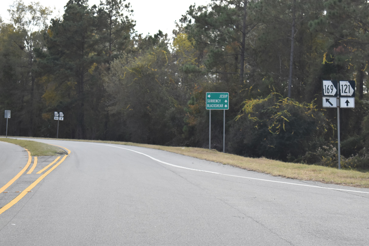
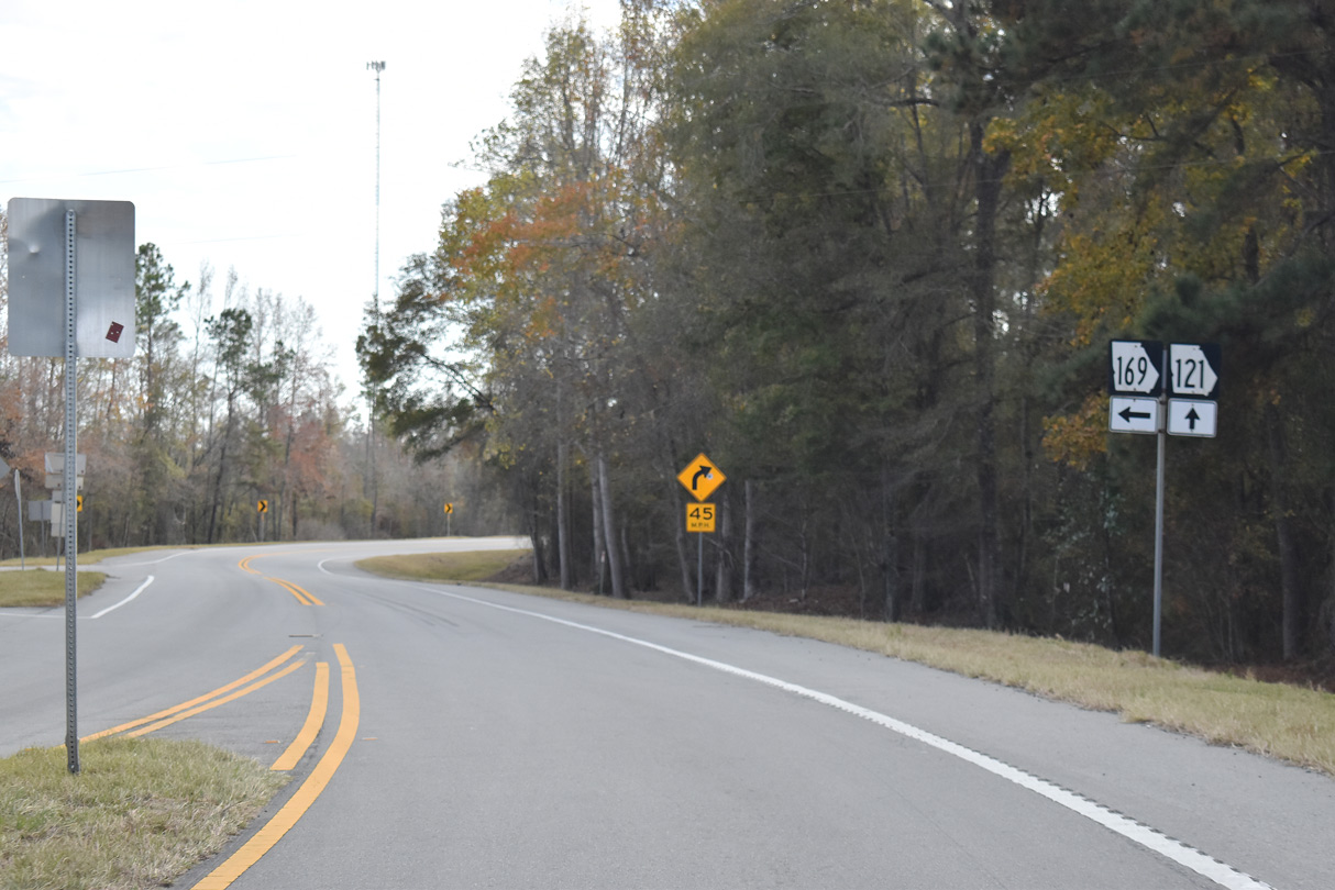
SR 169 parts ways with SR 121 (Woodpecker Trail) to the immediate south of the separation with SR 144 west.
11/21/21
SR 169 continues 21.31 miles southeast from SR 121 to U.S. 341/SR 27 in the city of Jesup.
11/21/21
11/21/21
South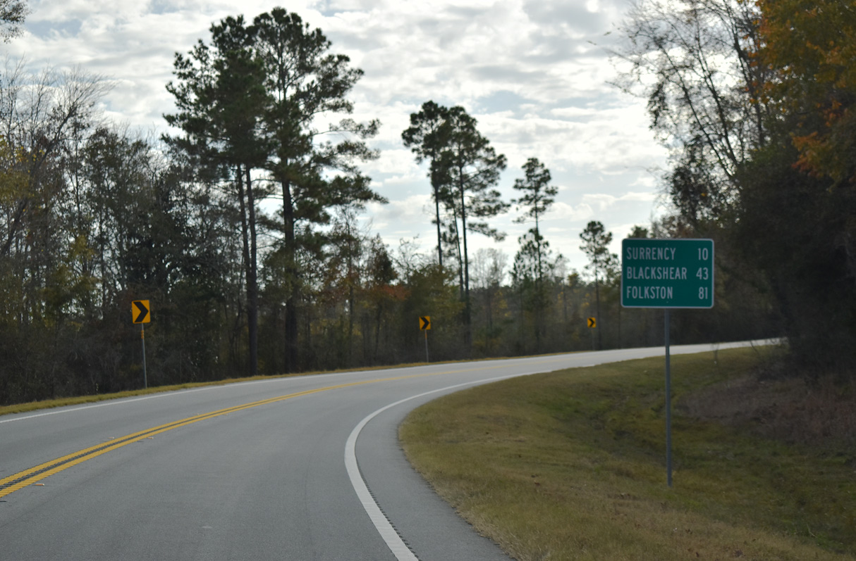
11/21/21
11/21/21
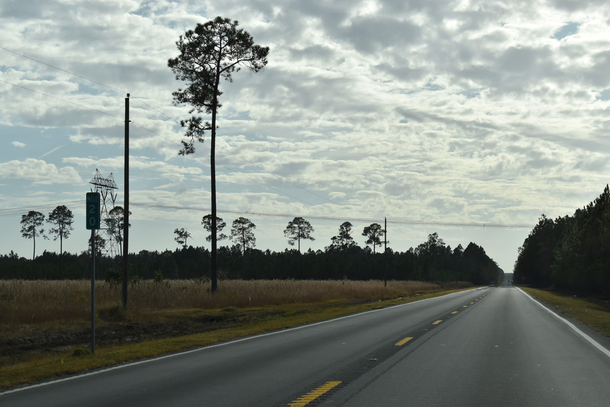
SR 121 continues southwest from the five point intersection with Pearce Road, Sumner Road and D.M. Tillman Road to mile marker 22 and Fivemile Creek.
11/21/21
Reassurance shield posted southbound along SR 121 between Malcolm Tillman Road and mile marker 21 at Daniels Road.
11/21/21
11/21/21
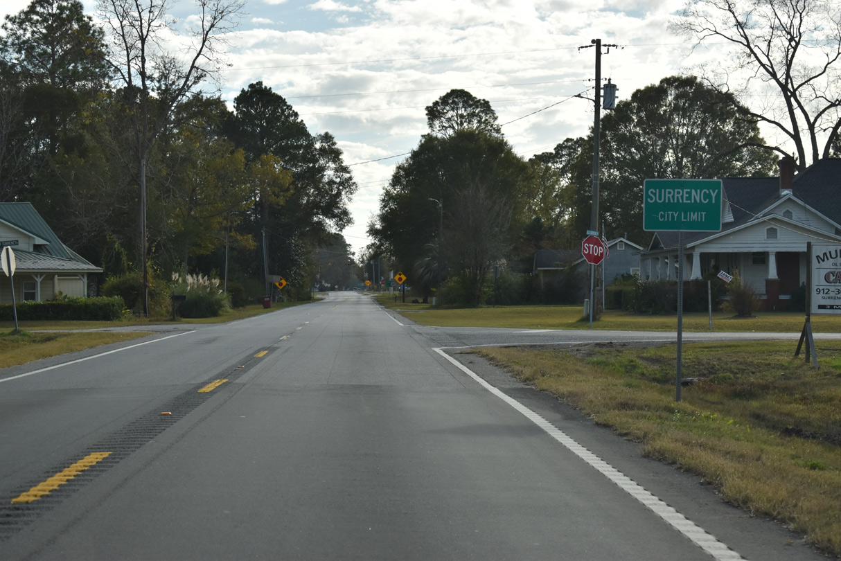
SR 121 enters the town of Surrency south along Still Street.
11/21/21
11/21/21
11/21/21
11/21/21
11/21/21

11/21/21
11/21/21
11/21/21
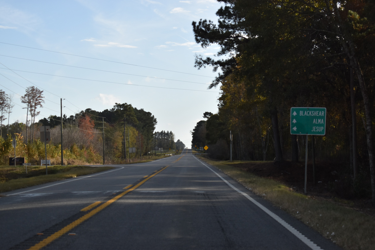
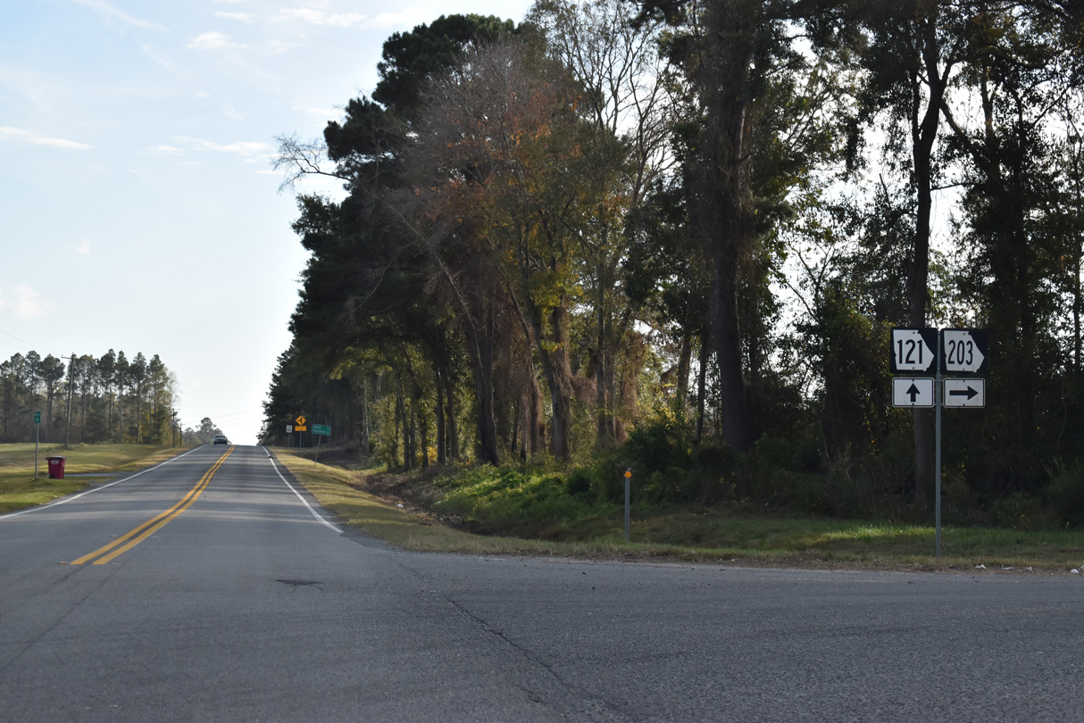
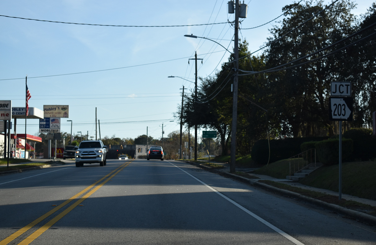
SR 203 runs 15.26 miles west from U.S. 84/SR 38 near Jesup to join SR 121 south for 0.27 miles.
11/21/21
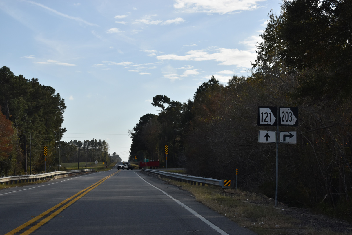
SR 121/203 combine south across Colemans Creek.
11/21/21
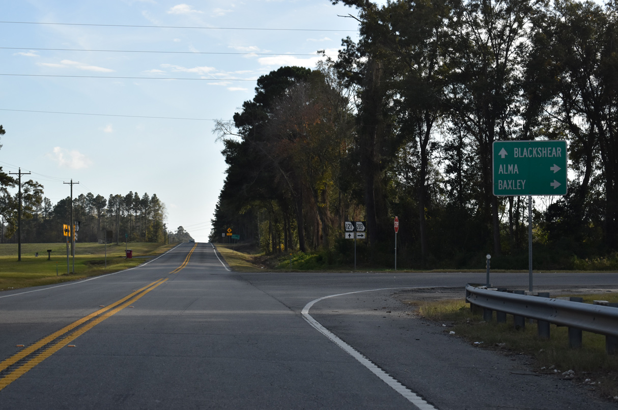
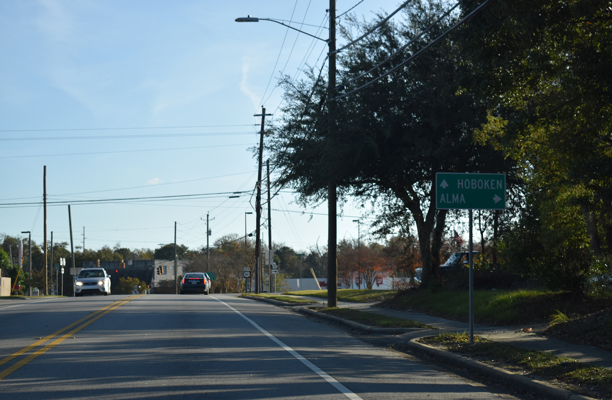
SR 203 continues 11.68 miles west from SR 121 to SR 32, east of Alma. SR 203 also provides a cutoff for SR 15 north to Baxley.
11/21/21
11/21/21
11/21/21
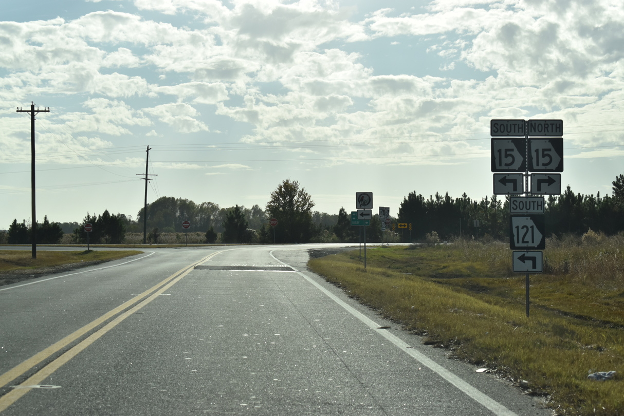
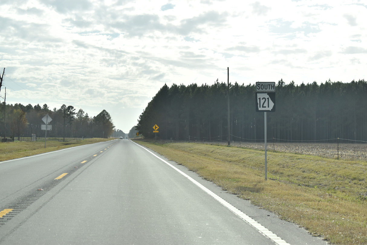
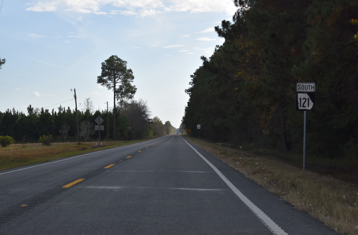
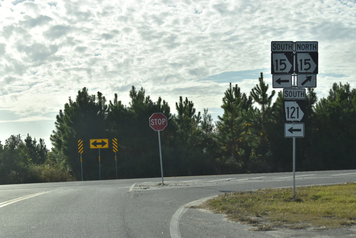
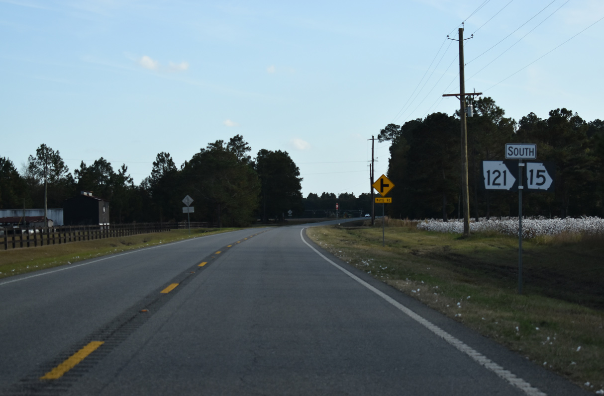
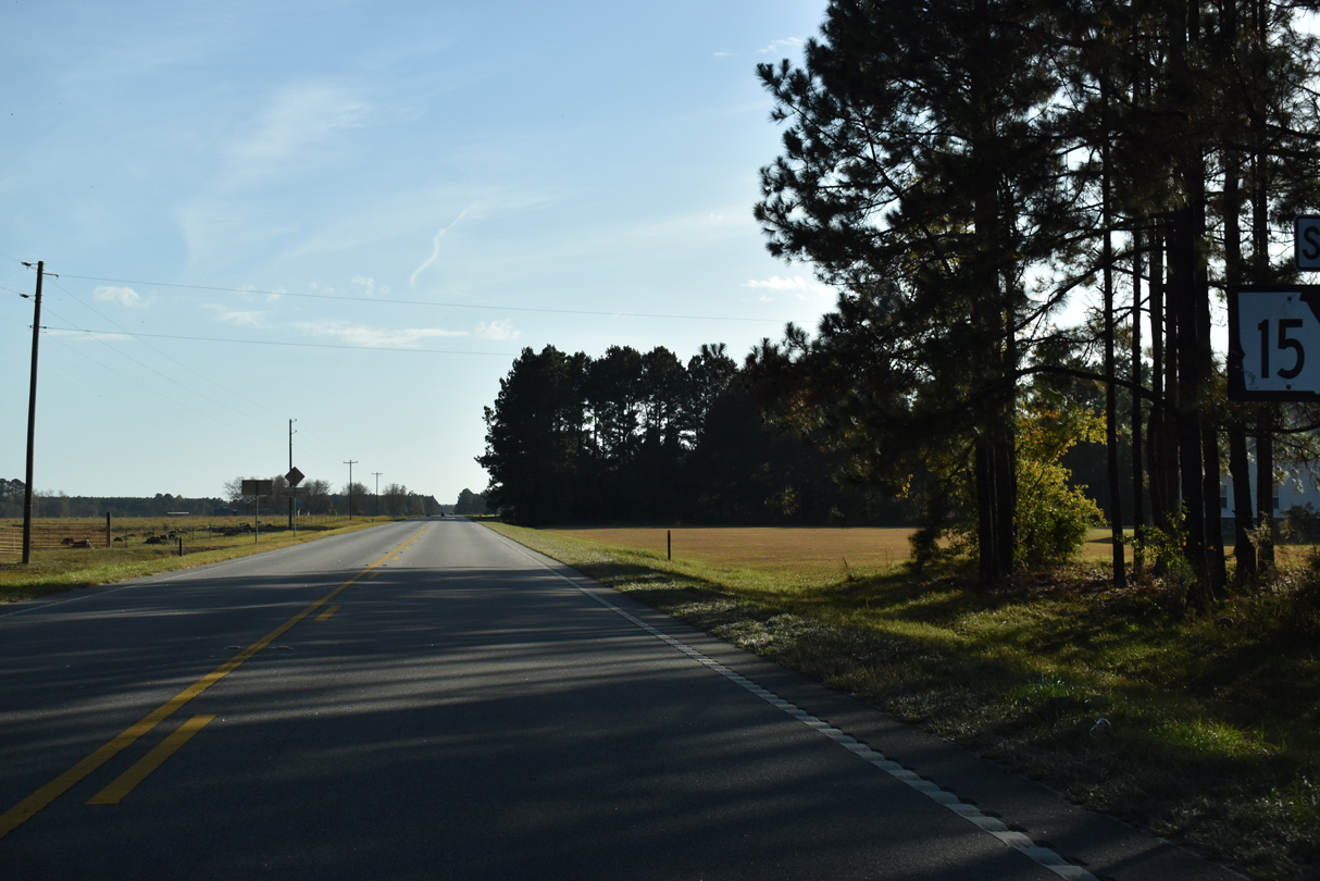
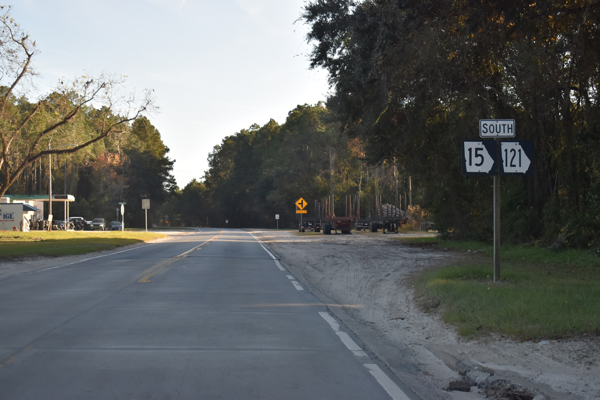
SR 121 (Woodpecker Trail) south next converges with SR 15.
11/21/21
11/21/21
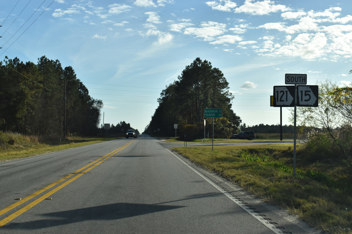
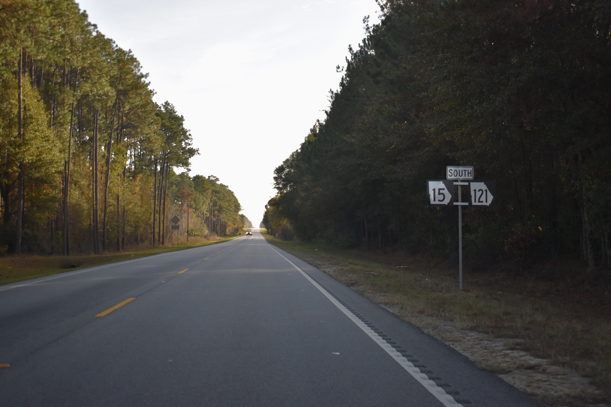
SR 15/121 overlap southeast to Blackshear and Folkston.
11/21/21
11/21/21
 South
South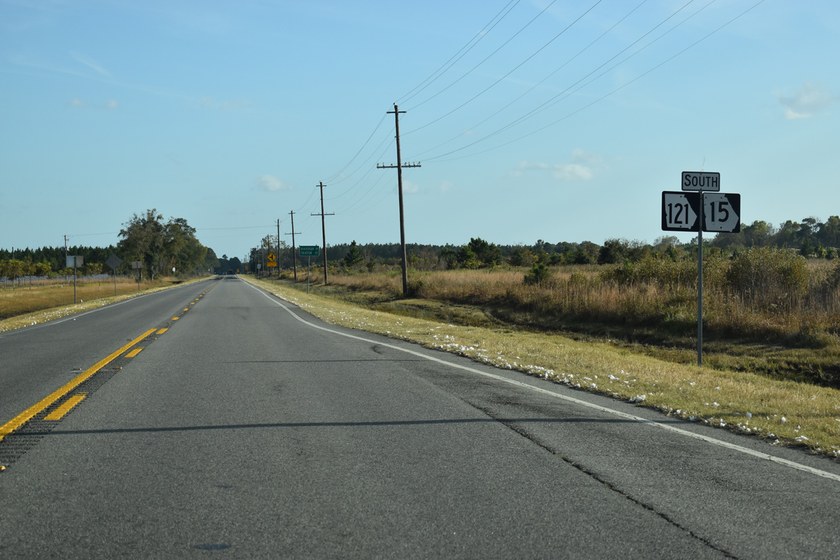
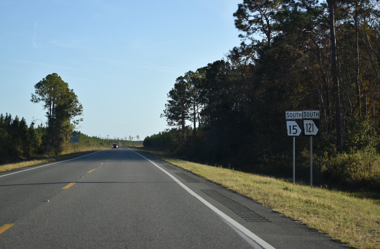
SR 15/121 overlap 41.22 miles south.
11/21/21
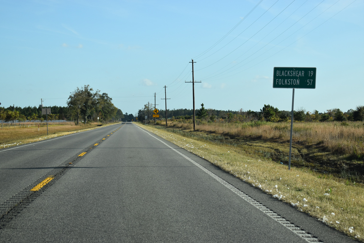
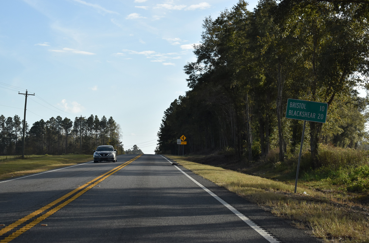
The Pierce County seat of Blackshear lies 19 miles south along SR 15/121 (Blackshear Highway). The two combine with U.S. 1/23 further south to Folkston.
11/21/21
11/21/21
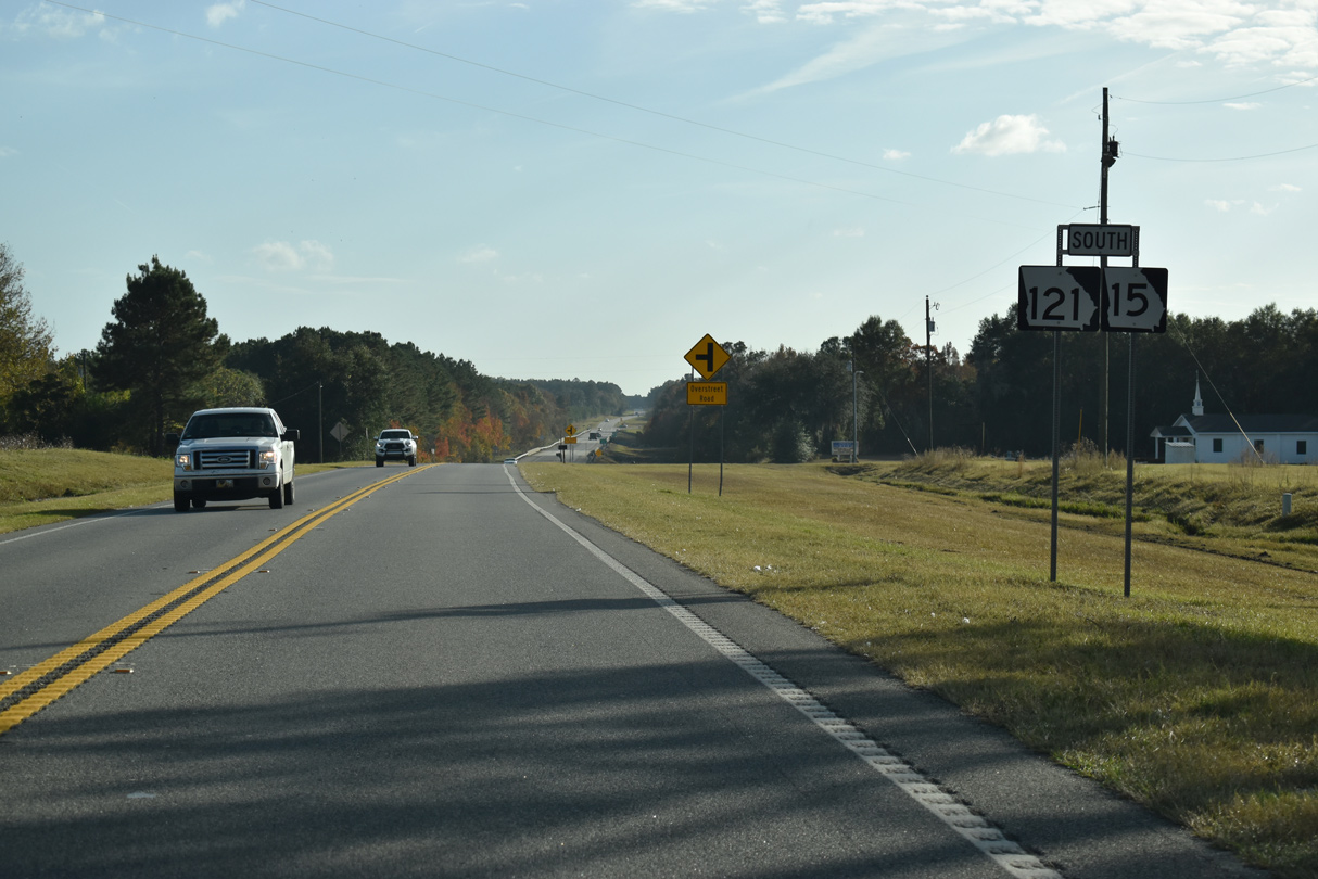
Overstreet Road stems east 0.38 miles from SR 15/121 to parallel Lightsey Boyette Road.
11/21/21
11/21/21
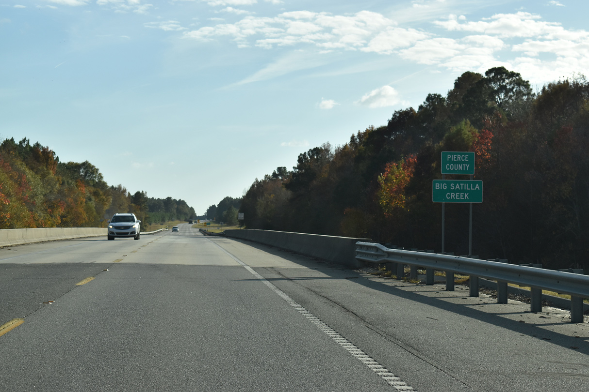
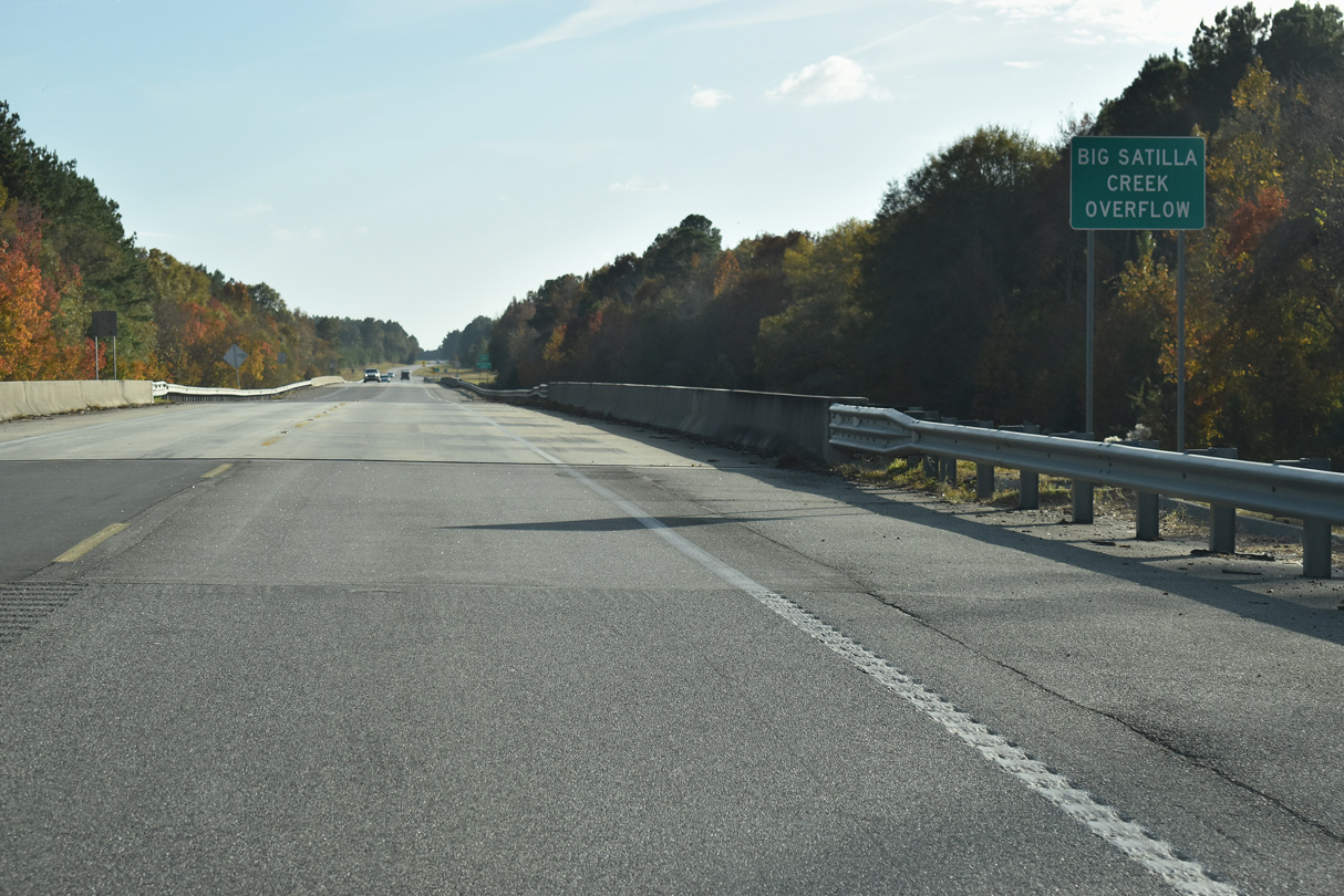
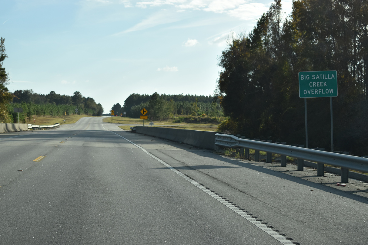
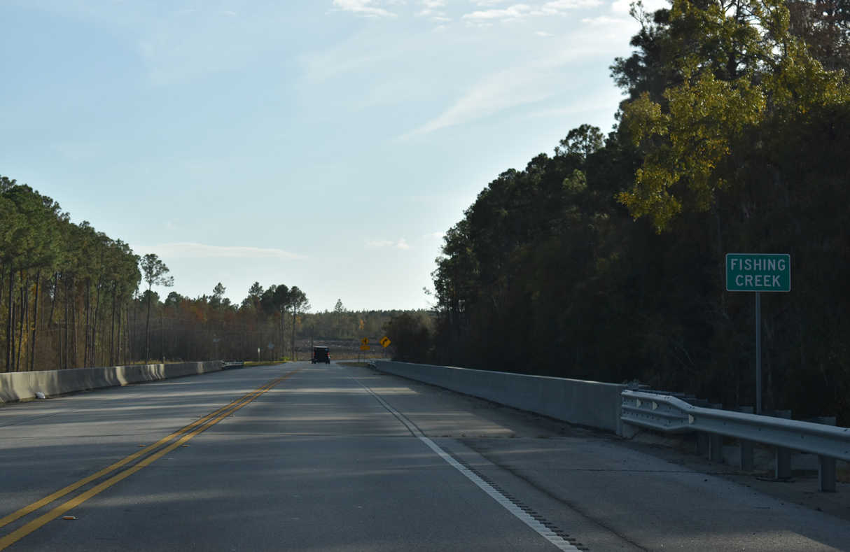
Big Satilla Creek marks the boundary between Appling and Pierce Counties.
11/21/21

11/21/21
11/21/21
11/21/21
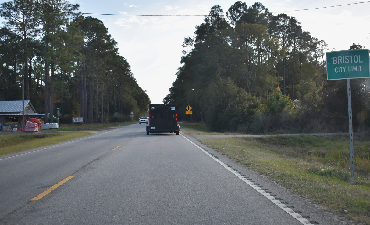
SR 15/121 continue south into the unincorporated community of Bristol at Alfred Lane.
11/21/21
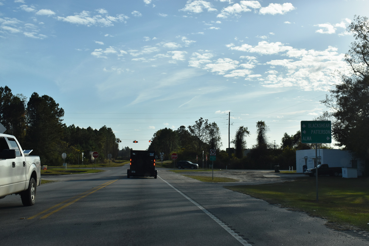
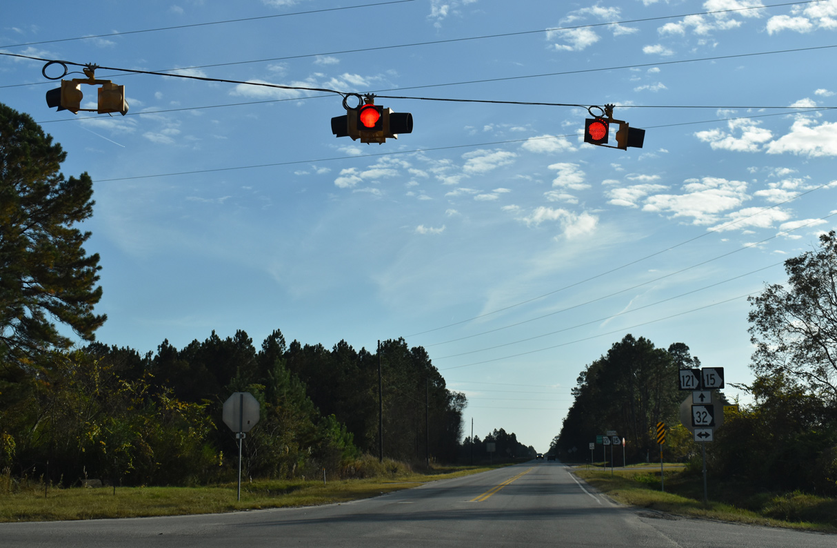
SR 32 crosses Bristol southeast to Patterson and northwest to Mershon and Alma.
11/21/21
11/21/21
SR 32 travels 189.08 miles overall from SR 520 at Dawson to U.S. 25/341 outside Brunswick.
11/21/21
11/21/21
11/21/21
Horseshoe Road south and County Farm Road north come together at SR 15/121 ahead of this shield assembly.
11/21/21
11/21/21
11/21/21

11/21/21
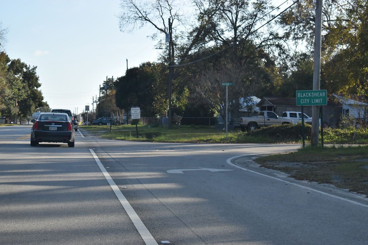
SR 15/121 enter the Blackshear city limits south at Moore Street.
11/21/21
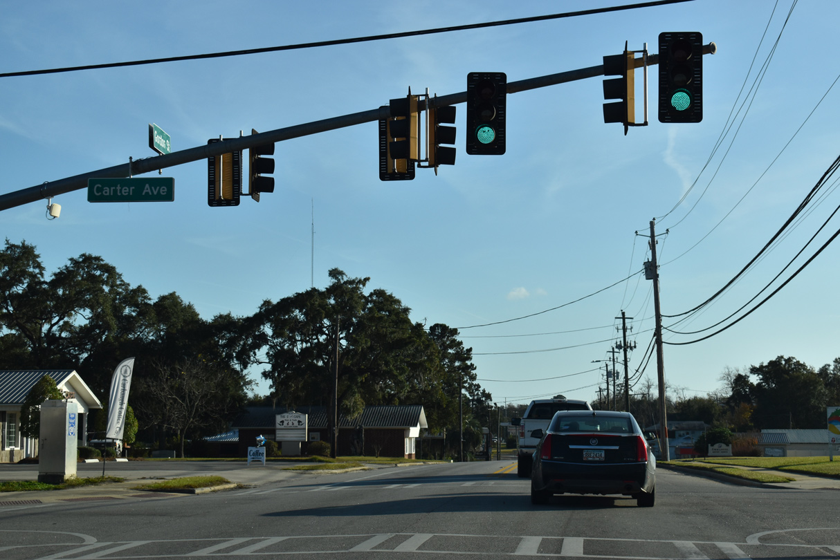
Carter Avenue runs across north Blackshear east to U.S. 84/SR 38 and west to SR 203 (Hendry Street) and Cason Road.
11/21/21
SR 203 commences north from SR 15/121 (Gordon Street) along Strickland Avenue westbound.
11/21/21
SR 203 travels 19.31 miles northwest to SR 32 at New Lacy.
11/21/21
11/21/21
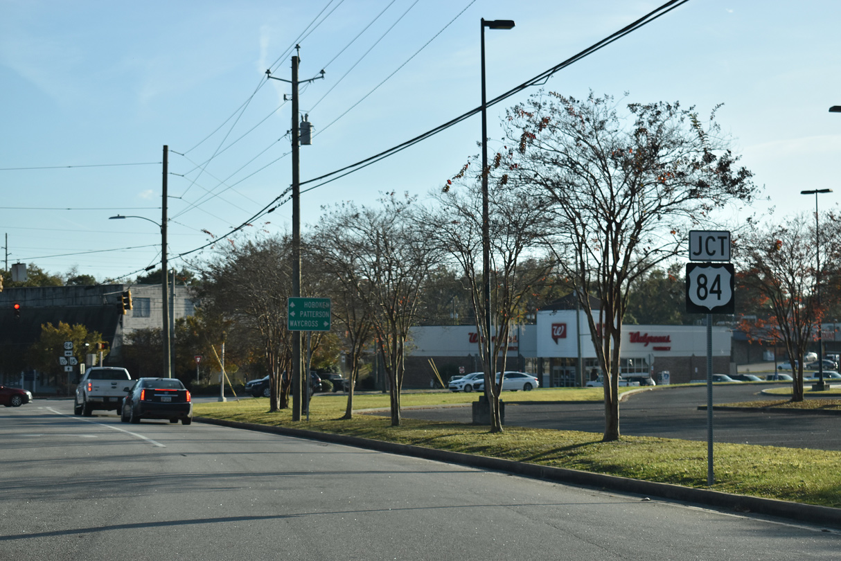
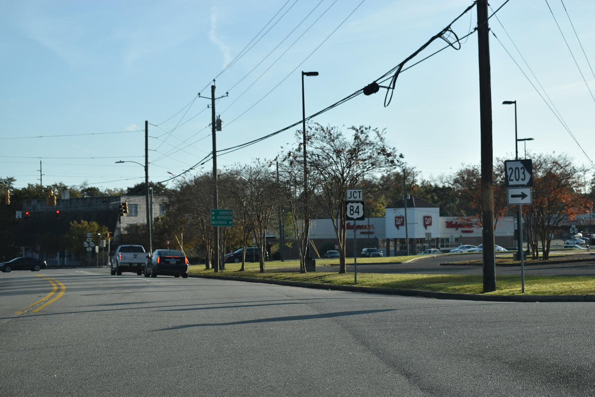
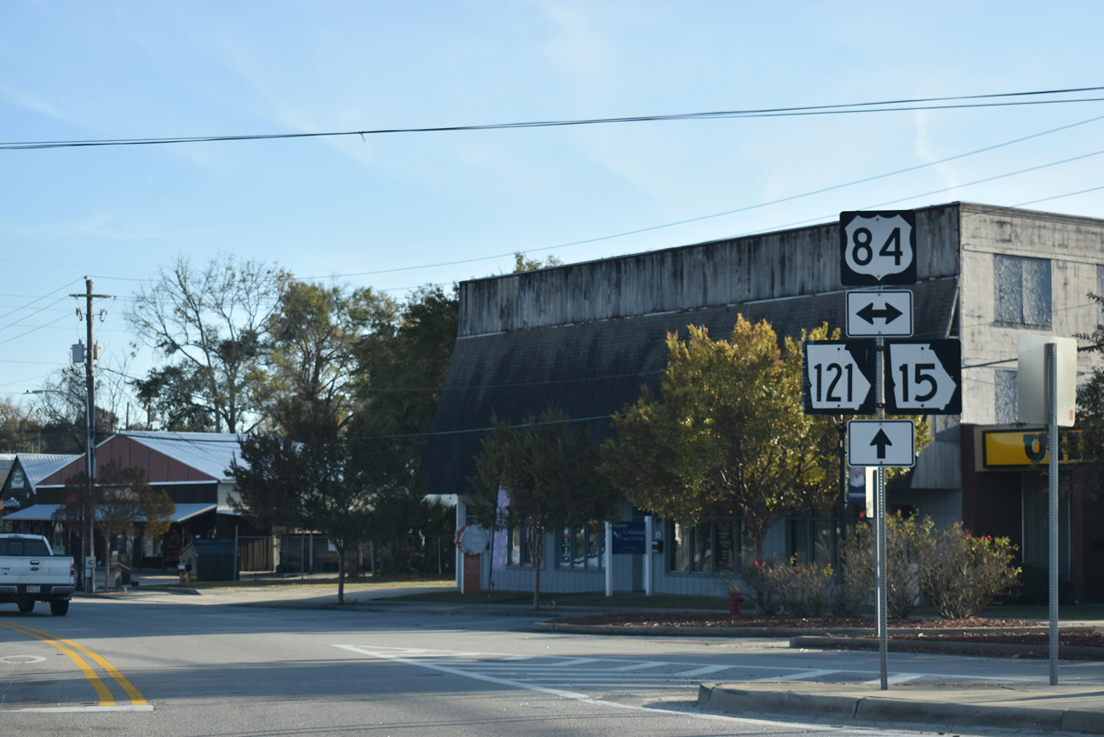
U.S. 84/SR 38 converges with SR 15/121 southwest from Jesup and Patterson.
11/21/21
Continuing southwest from Blackshear, U.S. 84/SR 38 bee lines to Waycross.
11/21/21
U.S. 84 originates at Midway, Georgia and travels west across the Peach State to Valdosta, Thomasville and Bainbridge.
11/21/21
11/21/21
11/21/21
11/21/21
11/21/21
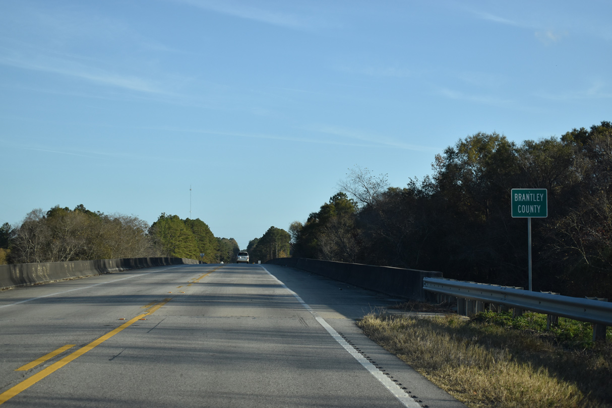
SR 15/121 cross the Satilla River south into Brantley County.
11/21/21
11/21/21
11/21/21
11/21/21
11/21/21
11/21/21
11/21/21
11/21/21
11/21/21
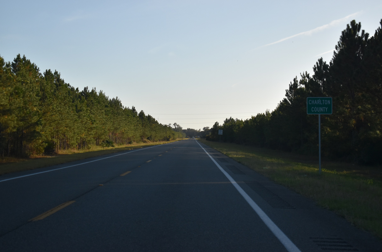
SR 15/121 south enter Charlton County east of Beaver Dam Swamp.
11/21/21
SR 15/121 converge with U.S. 1/23-SR 4 at the unincorporated community of Racepond.
11/21/21
SR 15/121 combine with U.S. 1/23-SR 4 southeast to Homeland and Folkston.
11/21/21
11/21/21
11/21/21
U.S. 1/23-SR 4 angle northwest to U.S. 82/SR 520 and U.S. 84 in Waycross.
11/21/21
 South
South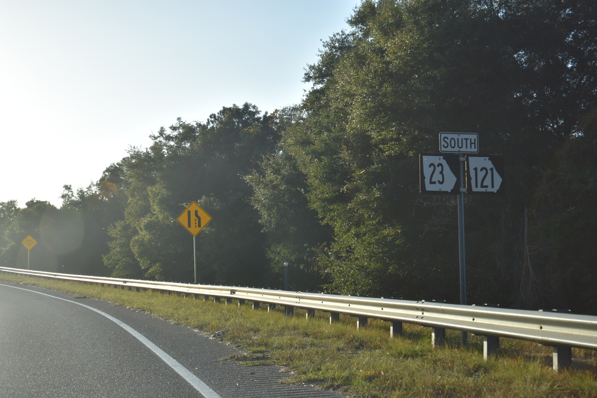
SR 23/121 branch west from U.S. 1/23/301-SR 4/15 and ascend over CSX Railroad lines.
11/21/21
Curving southward, SR 23/121 overtake Okefenokee Drive ahead of Love Street.
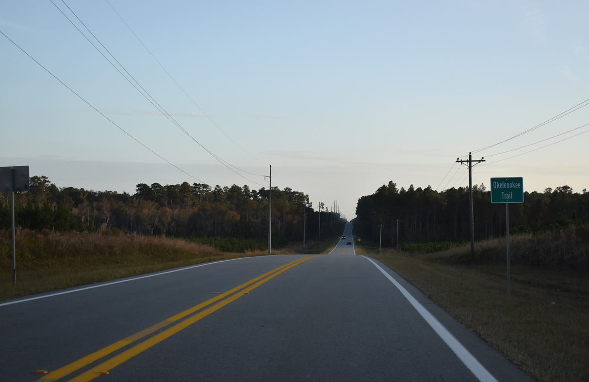
11/21/21
Main Street intersects SR 23/121 (Okefenokee Drive) west of Downtown Folkston and the end of SR 40.
11/21/21
11/21/21
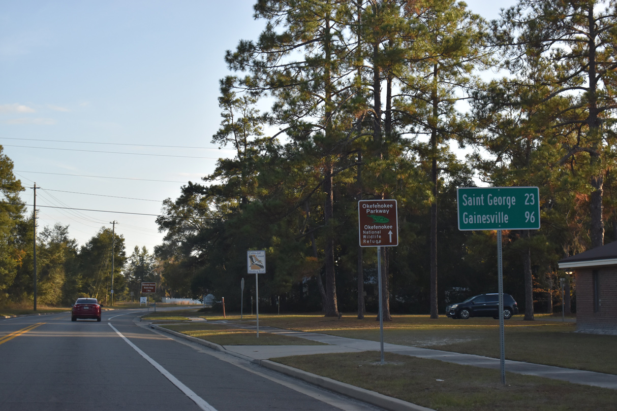
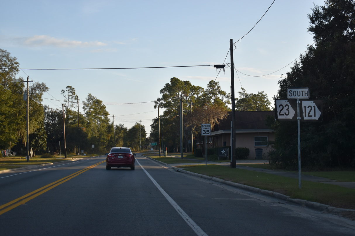
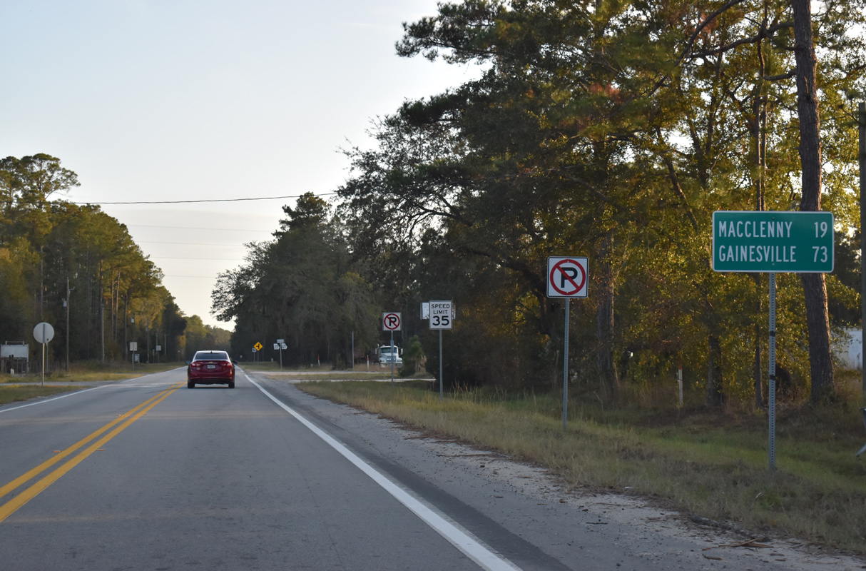
MSR 121 travels 96 miles south from Folkston to Gainesville, Florida.
11/21/21
11/21/21
Turning southwest, SR 23/121 (Okefenokee Parkway) advance from Little Phoebe Church Road across Spanish Creek.
11/21/21
11/21/21
11/21/21
11/21/21
11/21/21
11/21/21
11/21/21
11/21/21
11/21/21
11/21/21
11/21/21
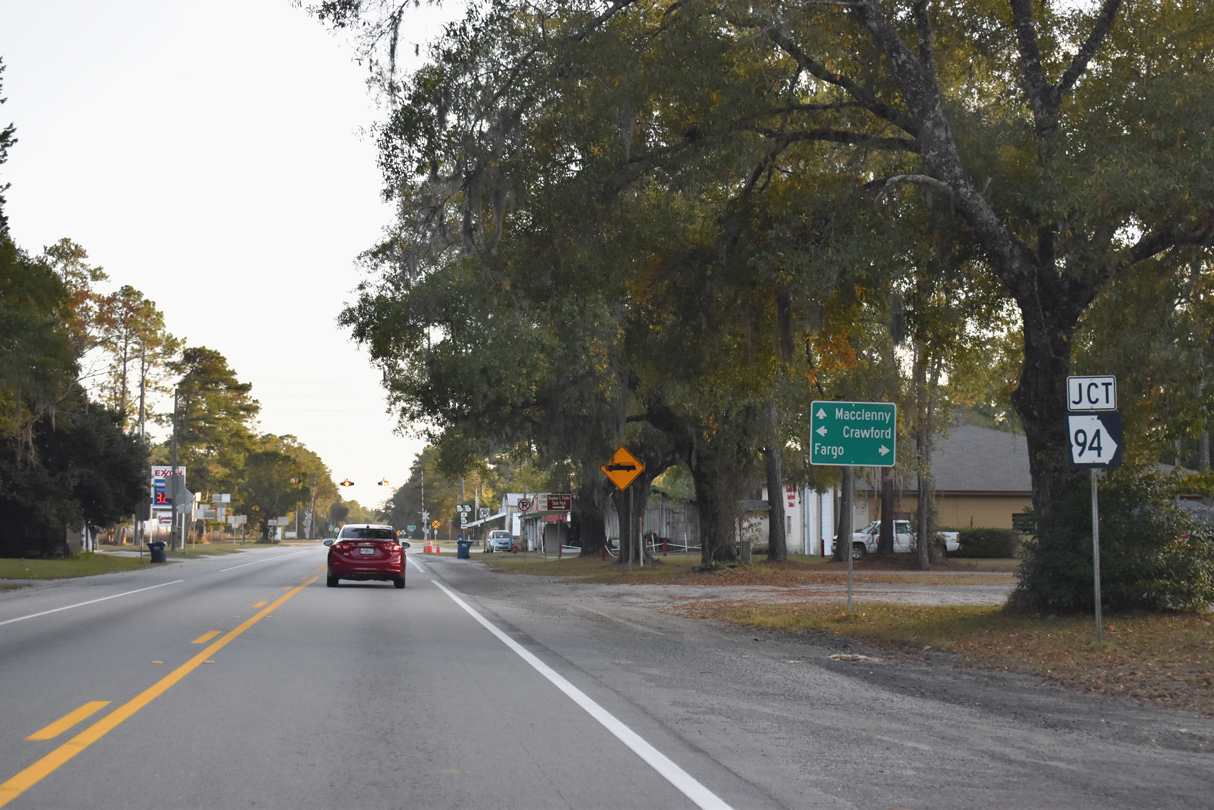
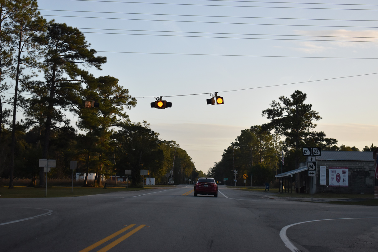
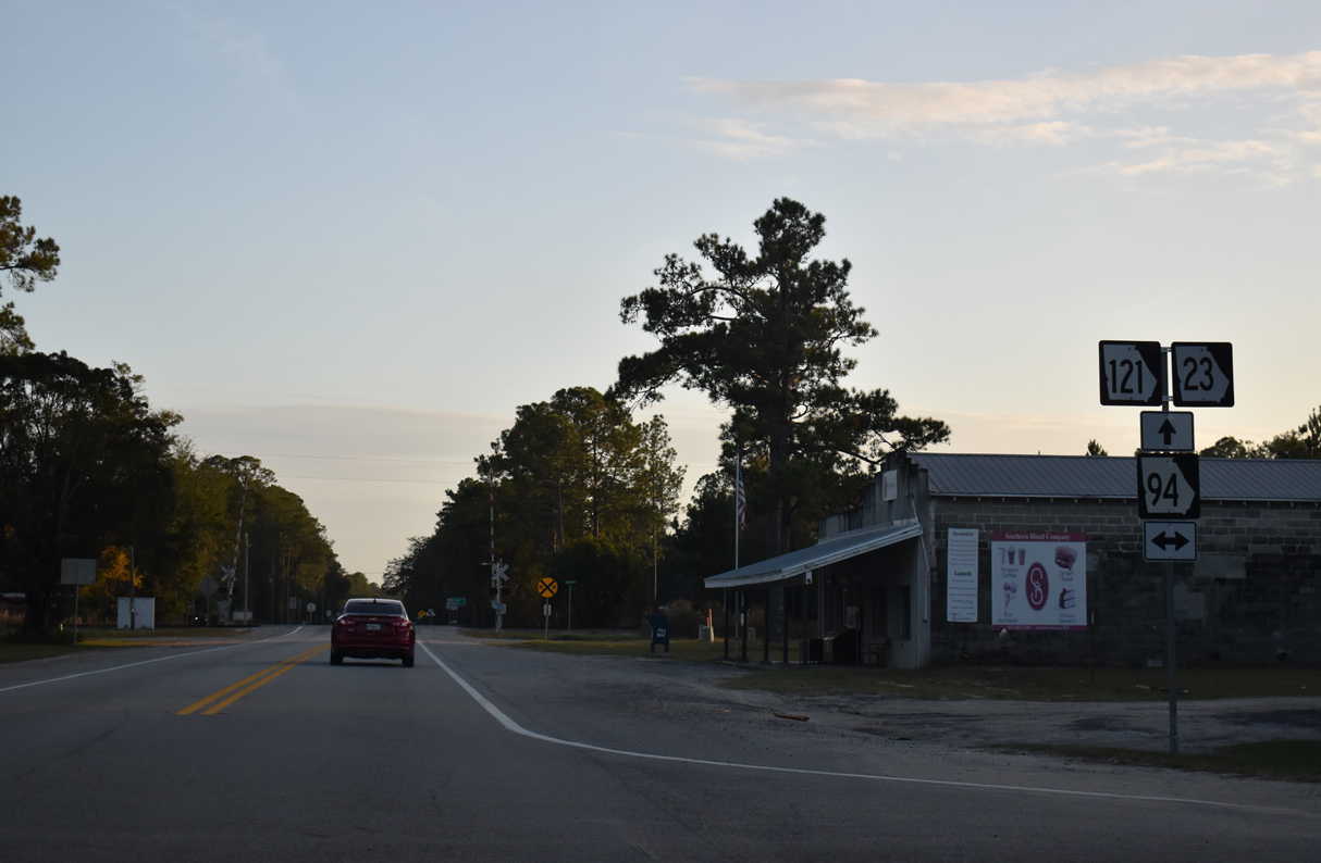
The eastern leg of SR 94 through southern Charlton County runs 12.91 miles west to Florida State Road 2 at Baxter and east to Nassau County Road 2 in the Sunshine State.
11/21/21
11/21/21
11/21/21
11/21/21
11/21/21
11/21/21
11/21/21
11/21/21
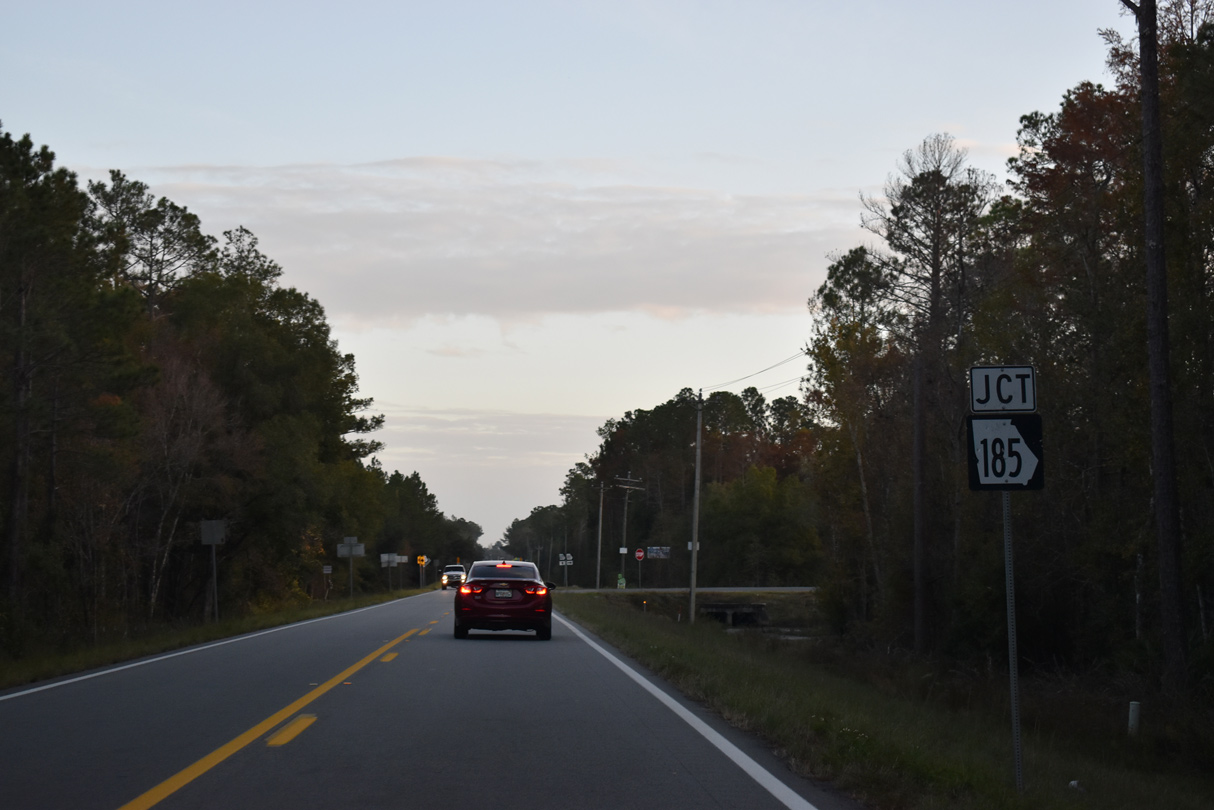
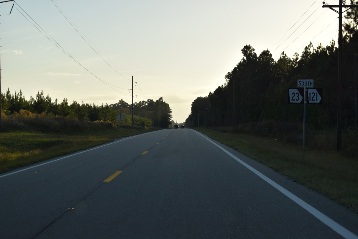
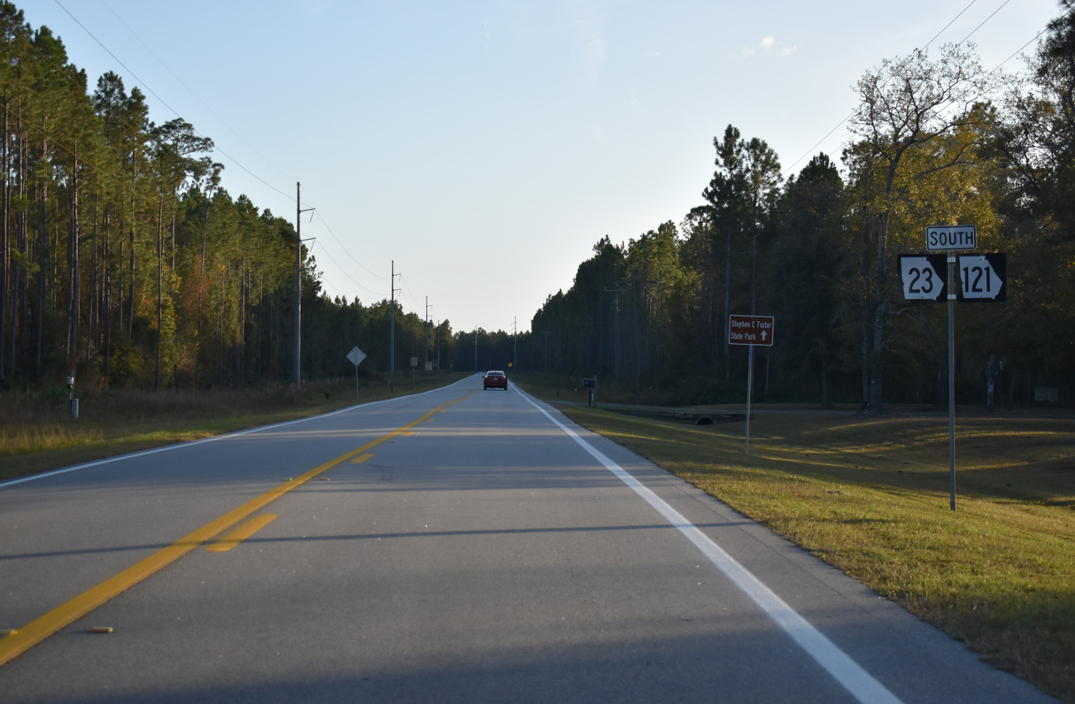
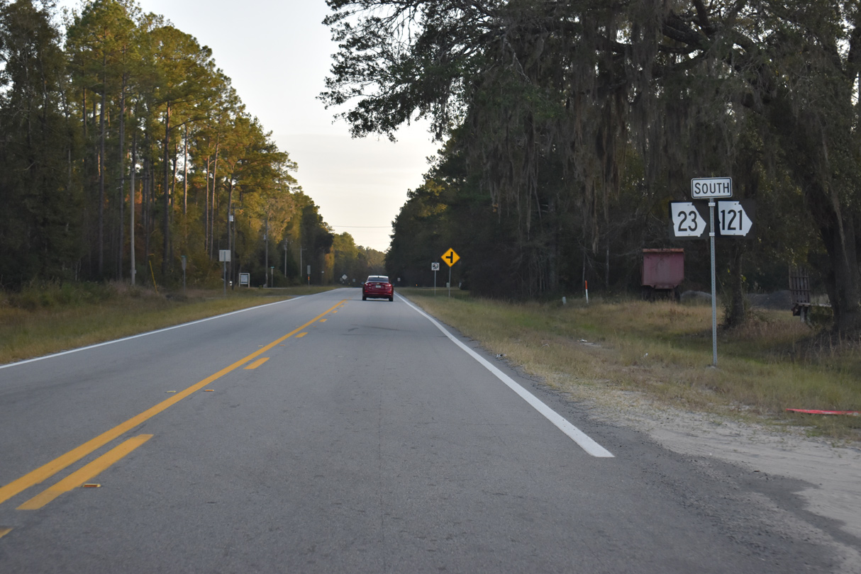
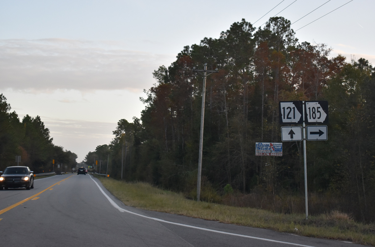
SR 23/121 meet the south end of SR 185 just ahead of the Florida state line.
11/21/21
SR 185 parallels the St. Marys River and St. Marys River North Prong 12.96 miles northwest to SR 94 at Moniac
11/21/21
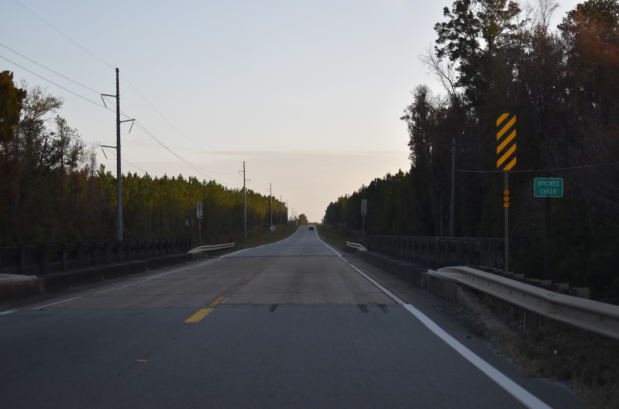
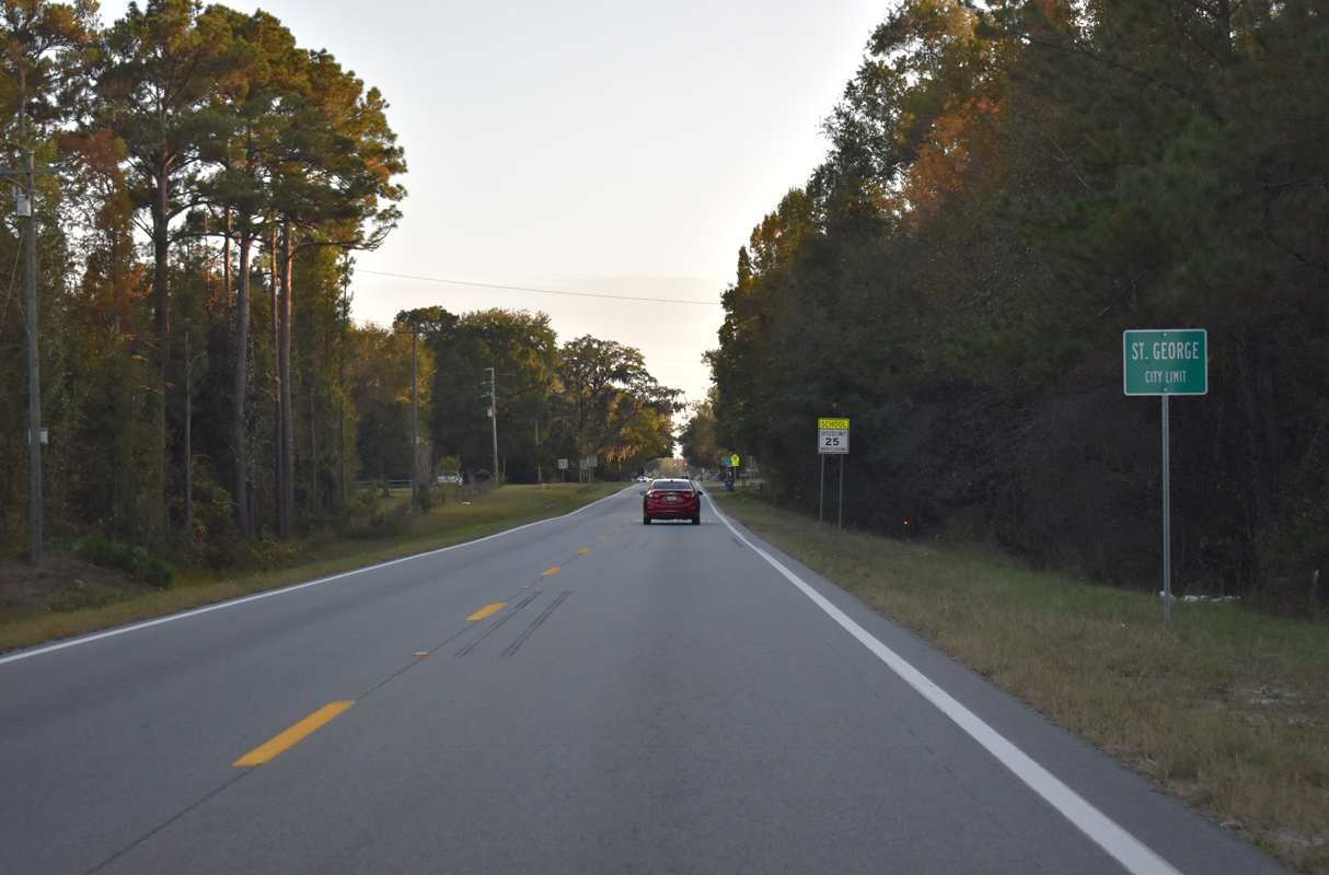
Spanning the St. Marys River, SR 23 ends while SR 121 continues as State Road 121 to Macclenny, Florida.
11/21/21
Connect with:
Interstate 16
Interstate 520 - Bobby Jones Expressway
U.S. 1
U.S. 23
U.S. 25
U.S. 80
U.S. 82
U.S. 84
U.S. 301
U.S. 341
State Road 121
Page Updated 03-16-2022.