|
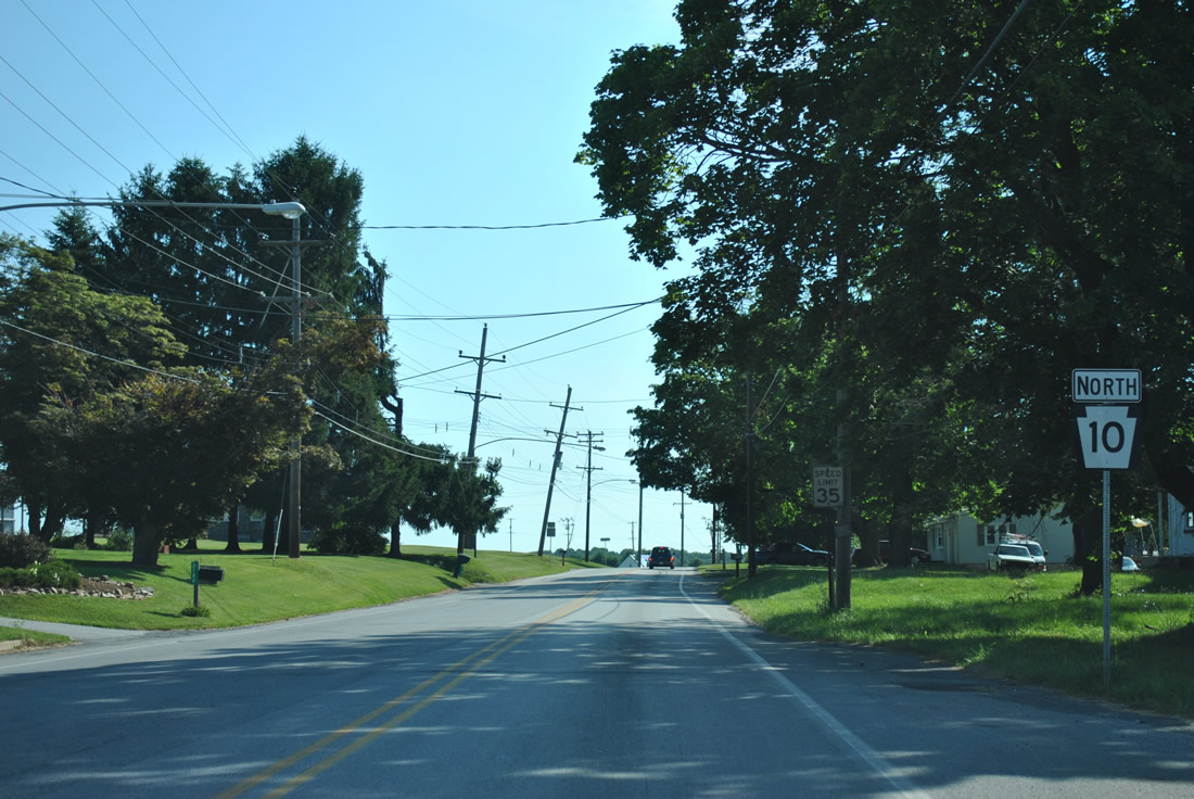
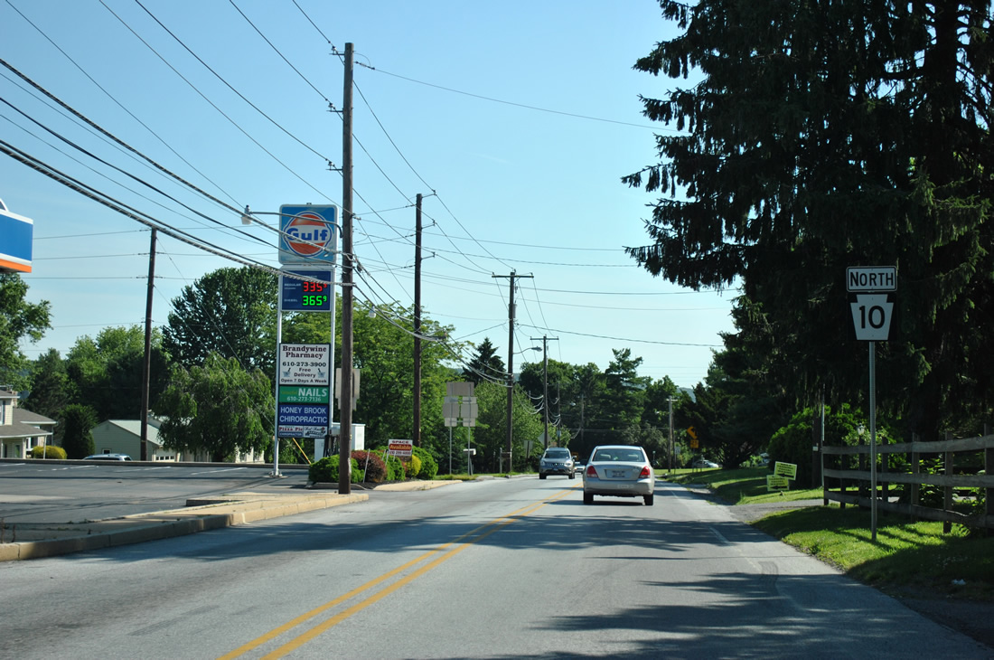
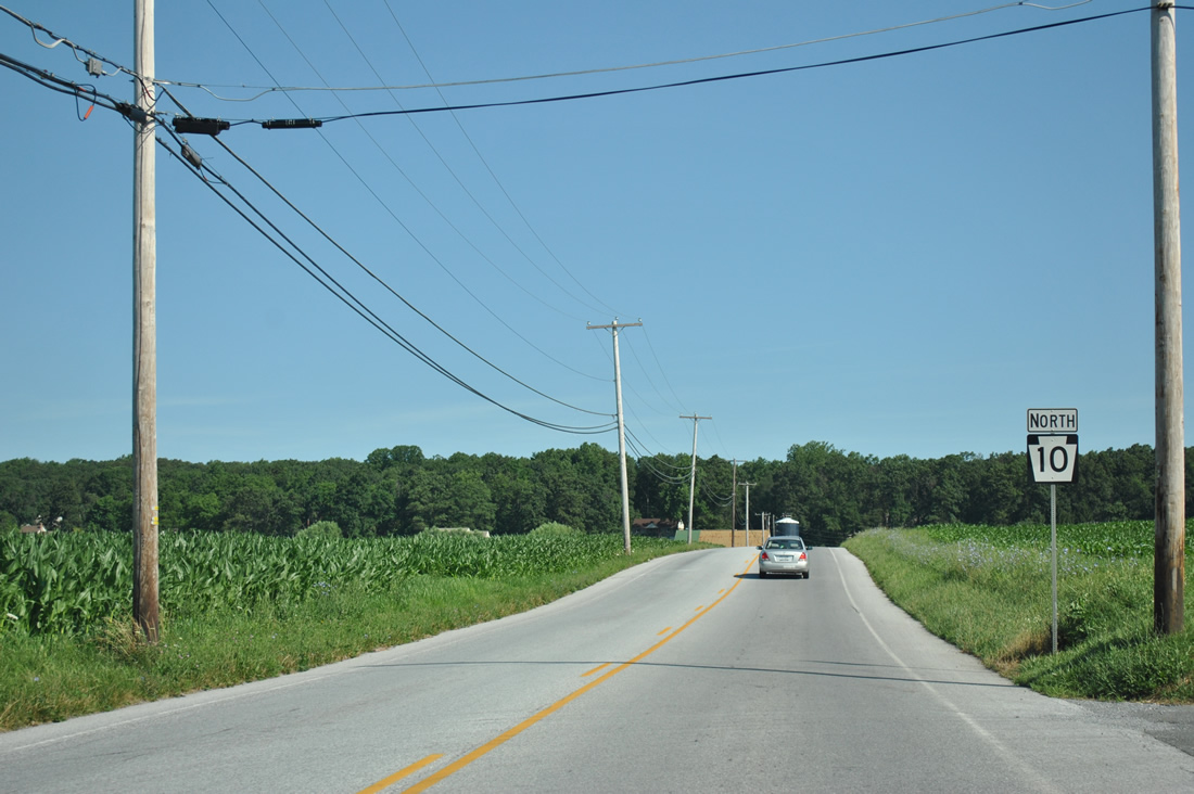
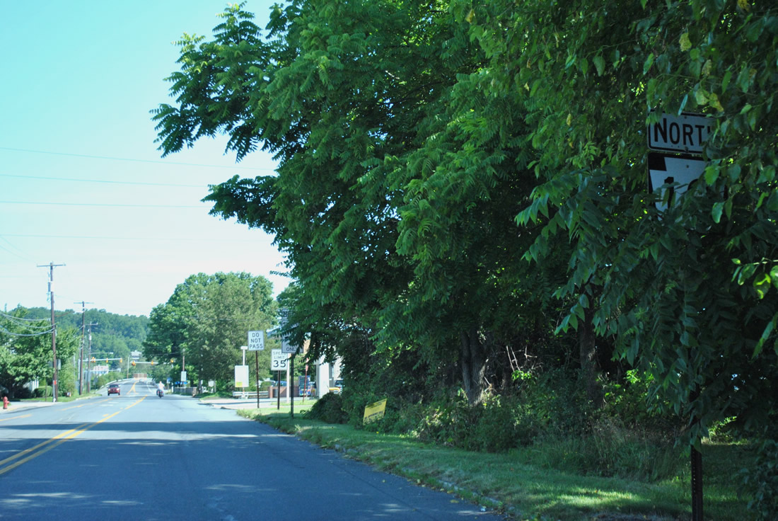
| Confirming marker posted north of PA 41 (Gap Newport Pike) at Cochranville PA 10 (Limestone Road) gains some truck traffic from PA 41 as it progresses toward Reading. 06/24/12 |
|
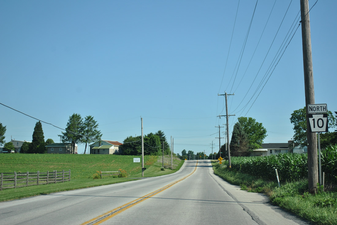
| Reassurance marker preceding Limestone and Friendship Church Roads in western Highland Township. Friendship Church Road heads west to PA 41 and east from PA 10 to Gum Tree. 06/24/12 |
|
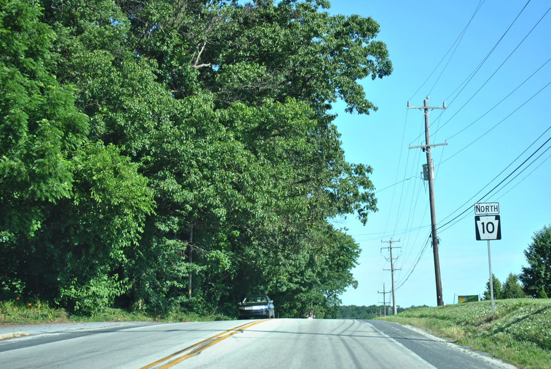
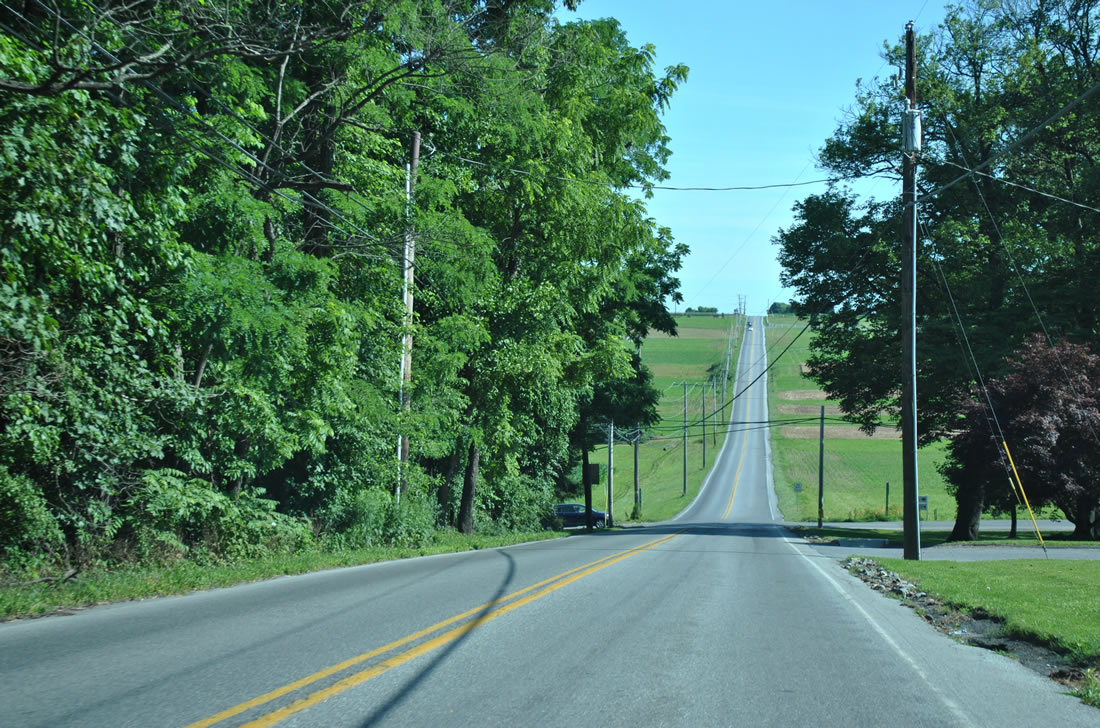
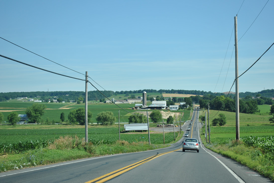
| PA 10 (Limestone Road) converges with Martin and Station Roads near the settlement of Highland. 06/24/12 |
|
| Leaving the intersection with Highland Road, PA 10 (Limestone Road) next traverses the South Valley Hills. 06/24/12 |
|
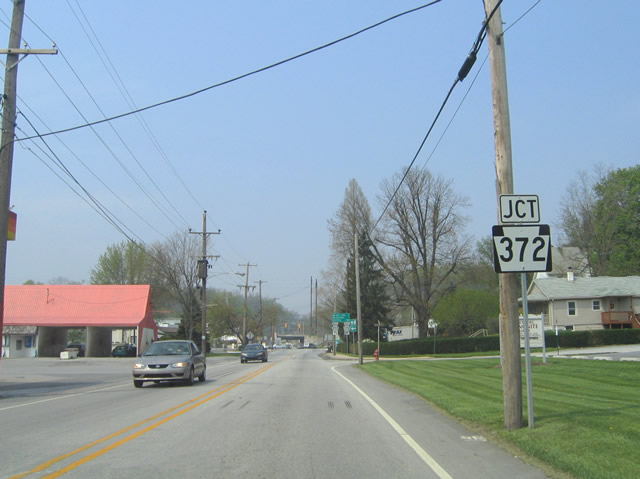
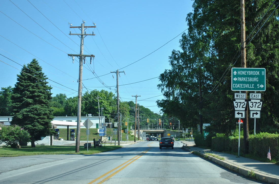
| PA 10 intersects PA 372 (1st Avenue) 5.1 miles north of Cochranville at the borough of Parkesburg. PA 372 (Lower Valley Road) heads 3.3 miles west from Parkesburg to PA 41 and the borough of Atglen. 04/23/04 |
|
| PA 372 follows Valley Road five miles east from PA 10 to Coatesville. 06/24/12 |
|
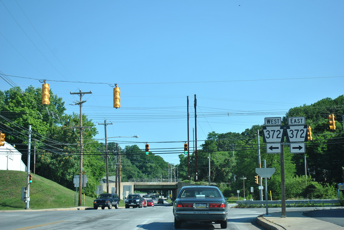
| PA 10 (Church Street) meets PA 372 (1st Avenue) just east of the Parkesburg business district. 06/24/12 |
|
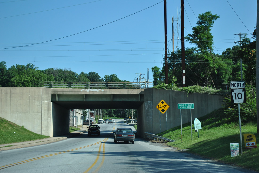
| North of PA 372, PA 10 (Church Street) passes below an AMTRAK line. The state route continues north from the borough along Octorara Trail. 06/24/12 |
|
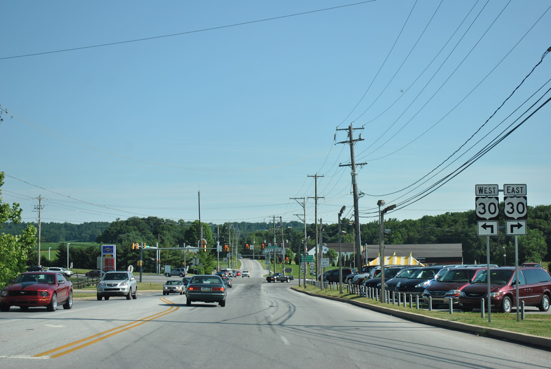
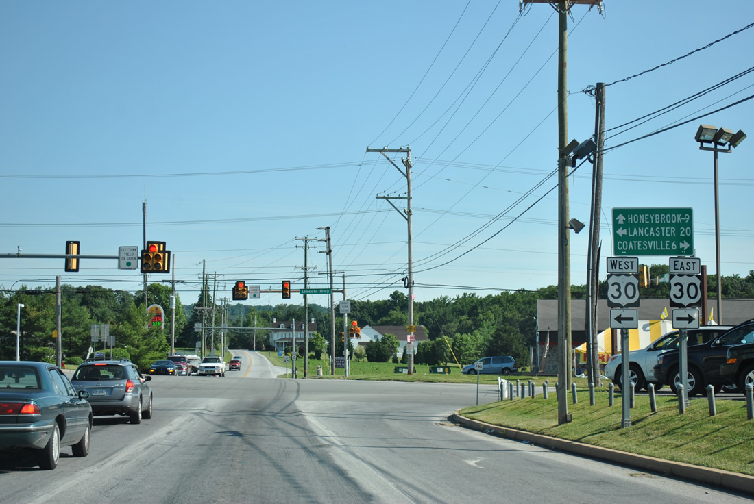
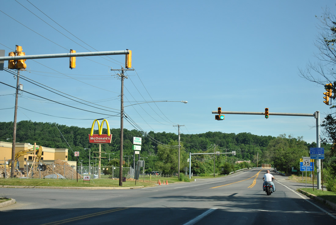
| PA 10 continues two miles north from Parkesburg to U.S. 30 (Lincoln Highway). U.S. 30 upgrades to a freeway east of PA 10 to bypass Sadsburyville, Coatesville, Thorndale, Downingtown and Exton. 06/24/12 |
|
| Development from the 1990s onward added a car dealership, several gas stations and big box retail around the intersection joining PA 10 with U.S. 30. 06/24/12 |
|
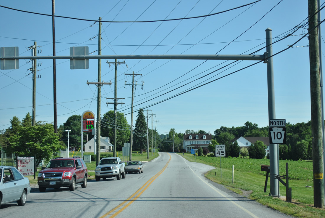
| Transitioning back into a rural highway, PA 10 (Octorara Trail) continues 1.6 miles north from U.S. 30 to State Hill. 06/24/12 |
|
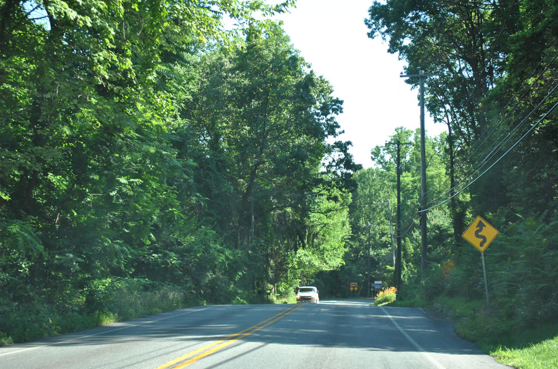
| Octorara Trail navigates through a series of curves north of Quarry and Beacon Light Roads. PA 10 drops from an elevation of over 880 feet above sea level to below 500 feet ahead of Compass. 06/24/12 |
|
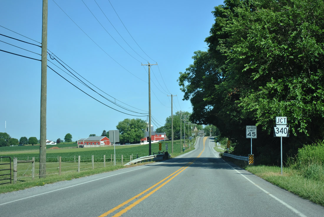
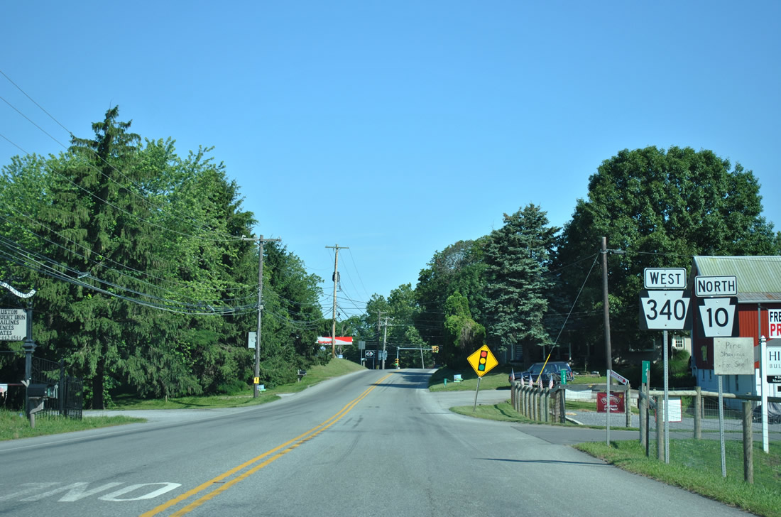
| PA 10 crosses a tributary of Indian Spring Run ahead of PA 340 (West Kings Highway) at Compass. 06/24/12 |
|
| PA 340 constitutes a 30.1 mile route from PA 462 in Lancaster to Thorndale. 06/24/12 |
|
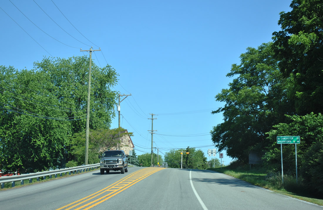
| Wagontown is six miles to the east along PA 340 (W Kings Highway). The state route concludes in 12.2 miles along Bondsville Road south at U.S. 30 Business (Lincoln Highway). 06/24/12 |
|
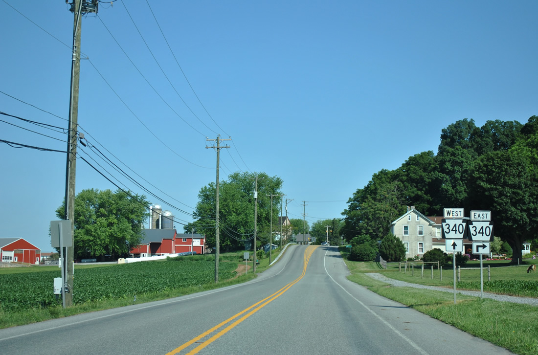
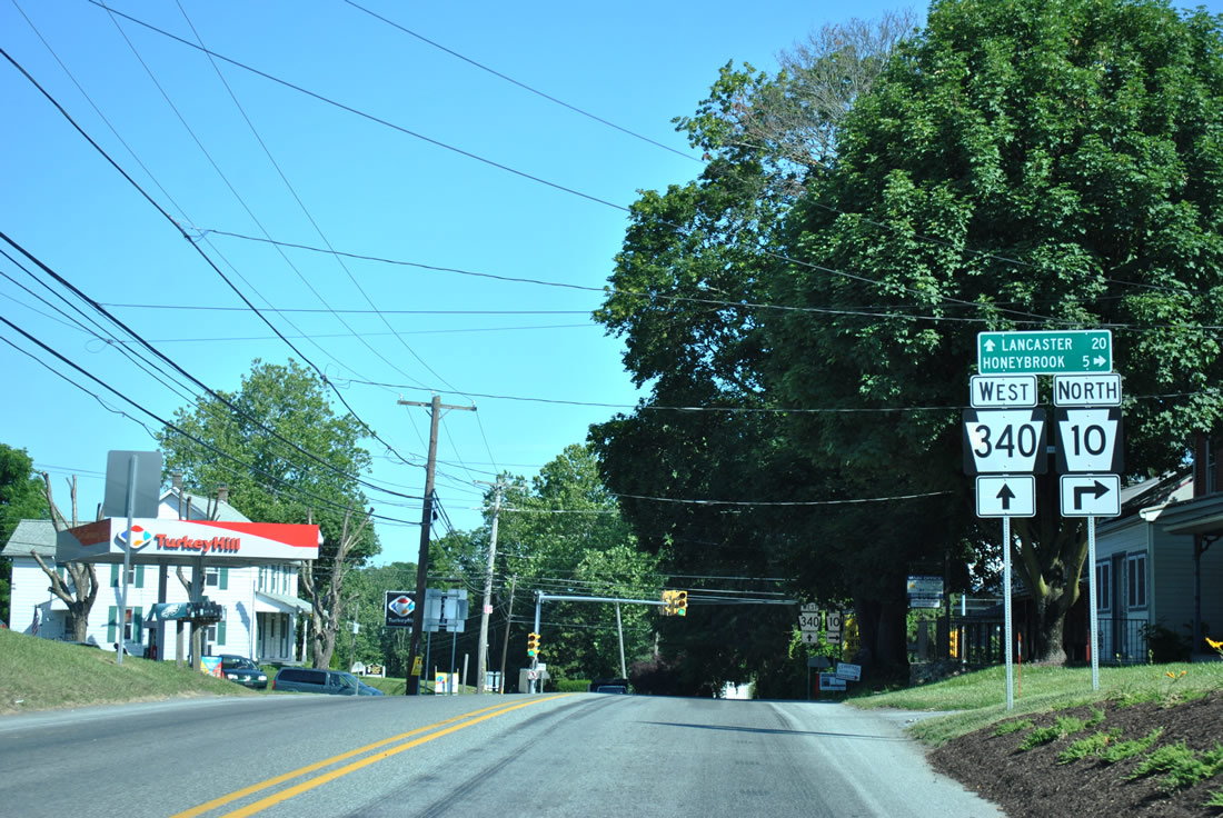
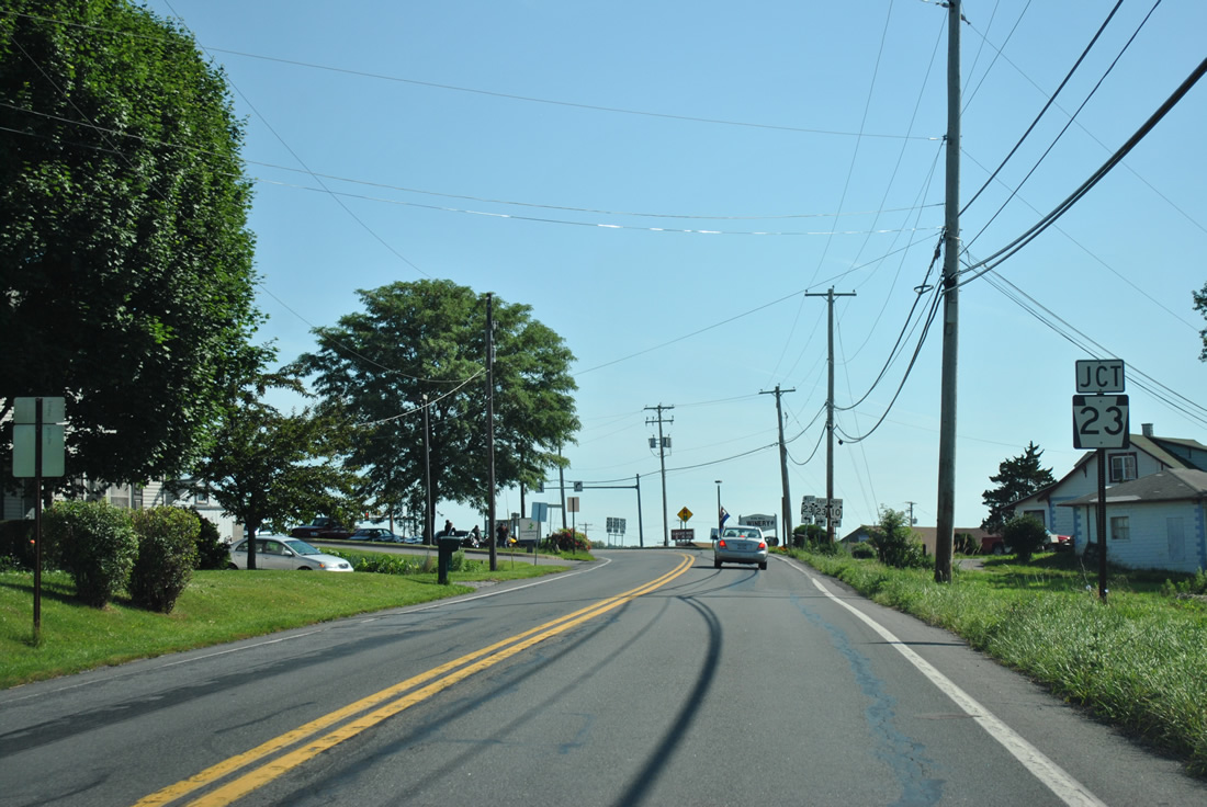
| PA 340 west combines with PA 10 north through the community of Compass. 06/24/12 |
|
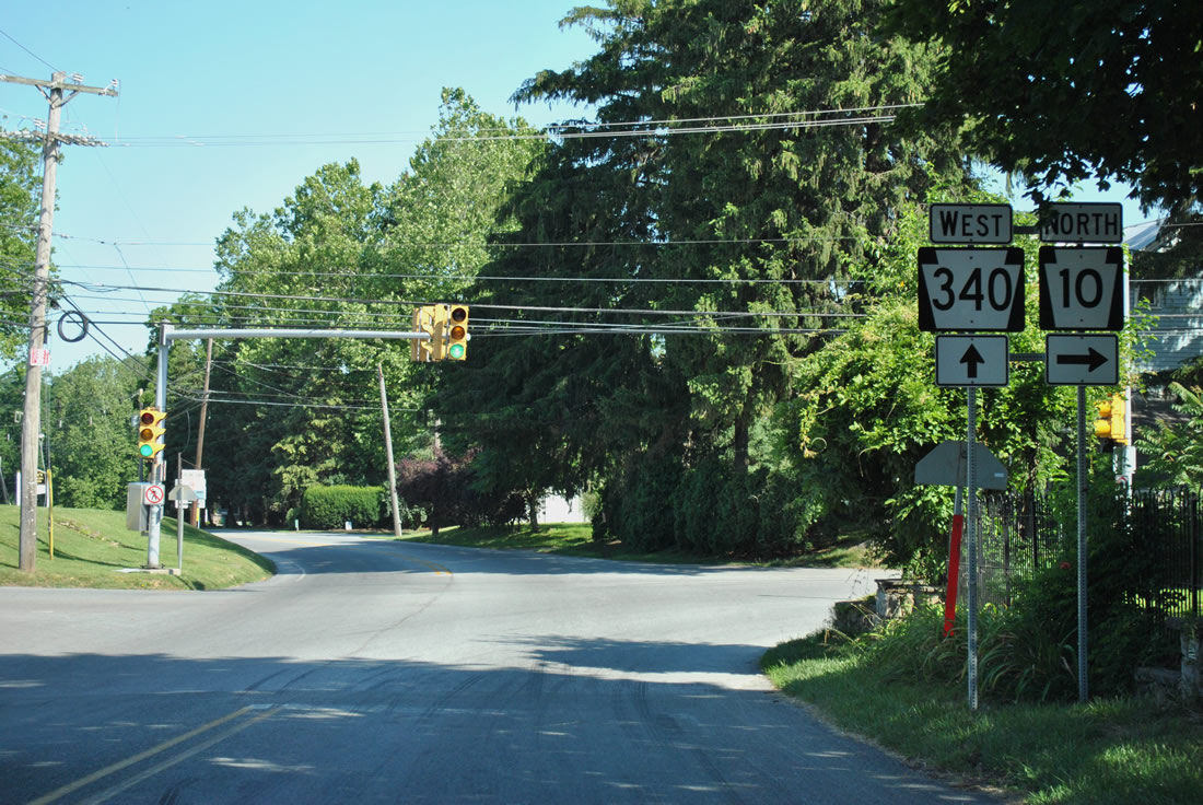
| PA 10 north and PA 340 combine for 0.10 miles along W Kings Highway. 06/24/12 |
|
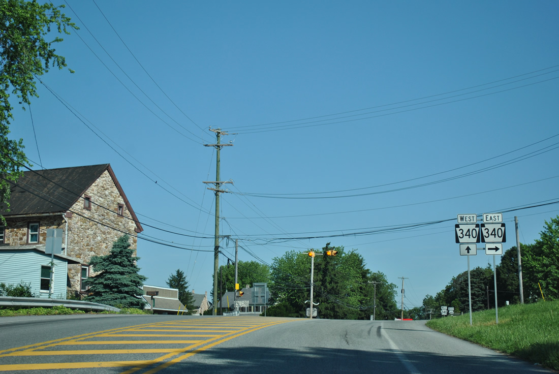
| PA 340 continues from PA 10 at Compass along Kings Highway and Old Philadelphia Pike to White Horse and Intercourse. PA 340 parallels U.S. 30 to the north between here and the city of Lancaster. 06/24/12 |
|
| PA 10 turns northeast from PA 340, 5.8 miles to Honey Brook and U.S. 322. 06/24/12 |
|
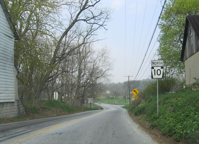
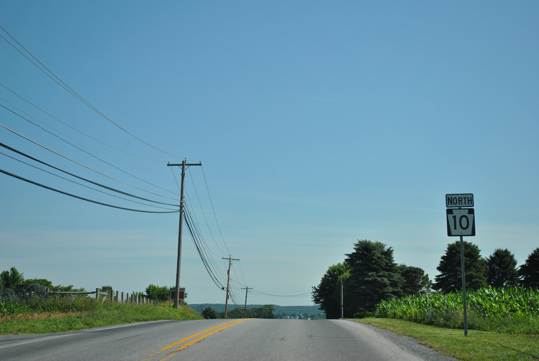
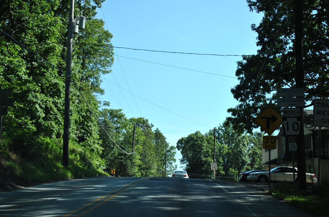
| PA 10 follows Compass Road north from PA 340 at Compass to Honey Brook. 04/23/04 |
|
| PA 10 travels across several more hills, cresting at over 900 feet above sea level before dropping again to 731 feet at Beaver Dam Road. 06/24/12 |
|
| Compass Road runs across additional agricultural areas to this PA 10 reassurance marker at King Road. 06/24/12 |
|
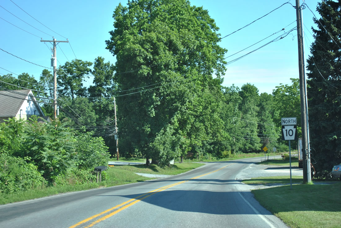
| Mt. Pleasant Road ties into PA 10 (Compass Road) from the west by this shield assembly in Honeybrook Township. 06/24/12 |
|
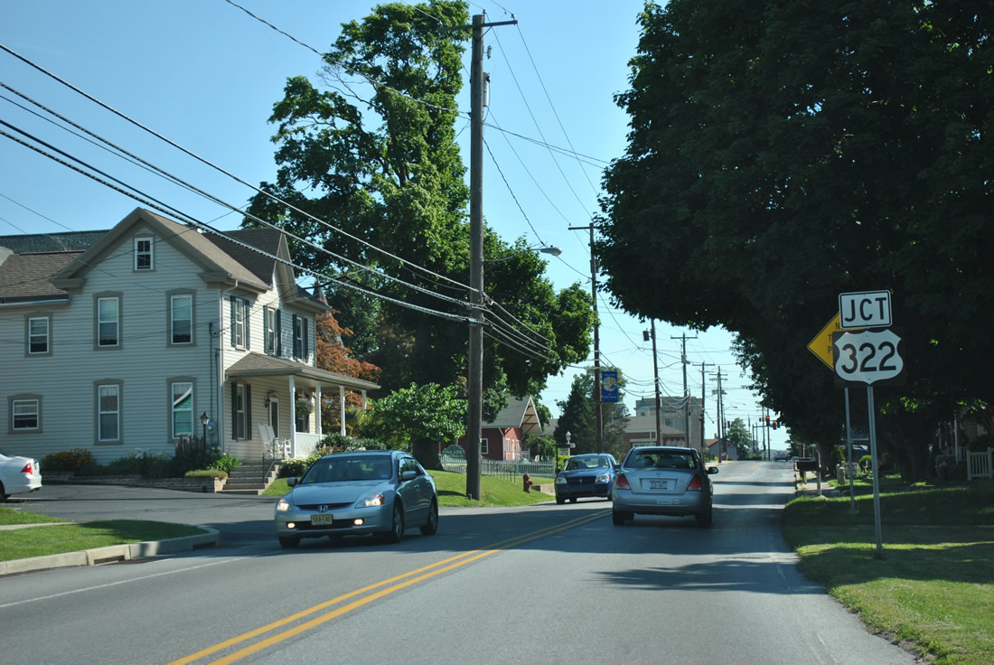
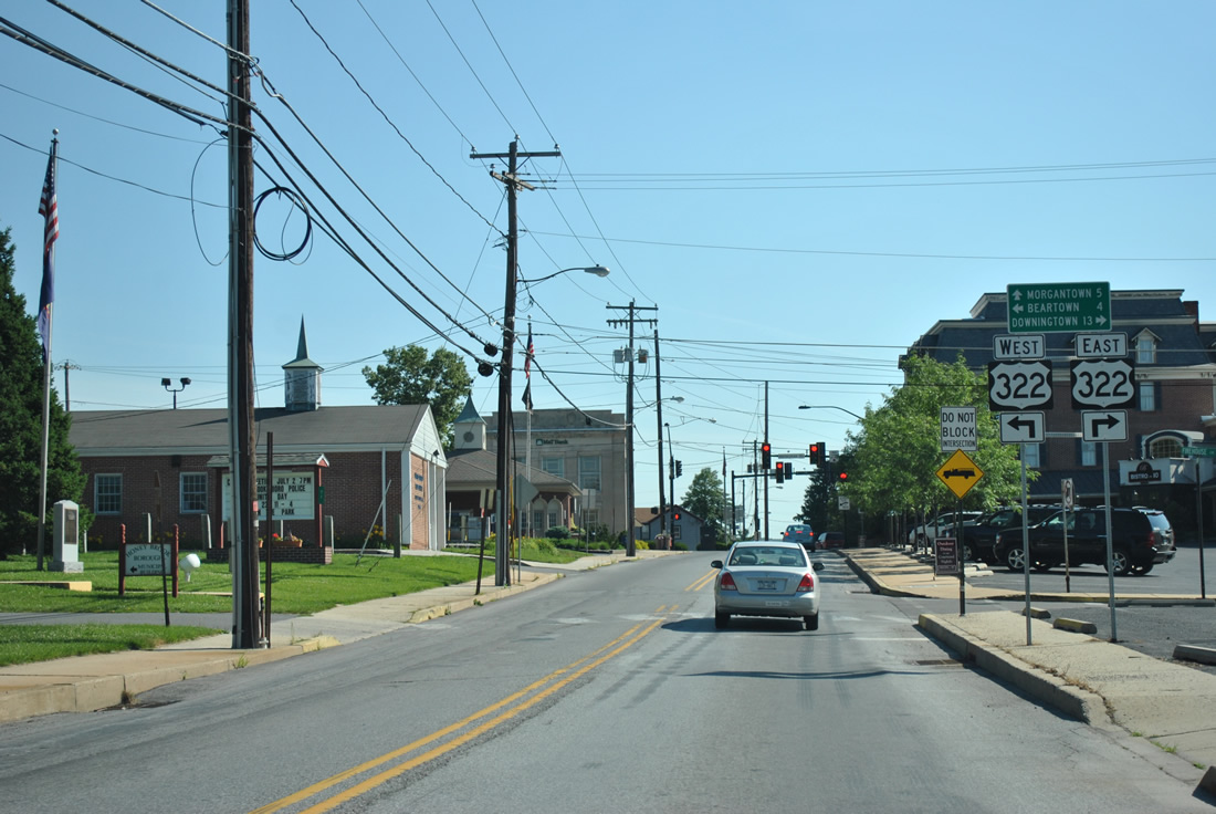
| Entering the borough of Honey Brook, PA 10 turns onto Pequea Avenue ahead of U.S. 322 (Horseshoe Pike). U.S. 322 travels northwest from Downingtown to Honey Brook and Blue Ball. 06/24/12 |
|
| PA 10 (Pequea Avenue) north at U.S. 322 (Horseshoe Pike). U.S. 322 remains a vastly rural route between Ephrata and Downingtown. 06/24/12 |
|
| U.S. 322 heads 6.4 miles west to PA 897 (Springville Road) at the community of East Earl. An interchange joins U.S. 322 with U.S. 30, 11.7 miles to the southeast at Downingtown. 06/24/12 |
|
| PA 10 follows Conestoga Avenue north from U.S. 322 (Horseshoe Pike). 06/24/12 |
|
| Another swath of open farm land separates Honey Brook from the climb onto Welsh Mountain along PA 10 (Twin County Road). 06/24/12 |
|
| PA 10 enters eastern reaches of Lancaster County on Welsh Mountain. The state route travels just 2.8 miles through the county. 06/24/12 |
|
| PA 10 (Twin County Road) crosses the Conestoga River beyond Conestoga Creek Road in a valley north of Welsh Mountain. 06/24/12 |
|
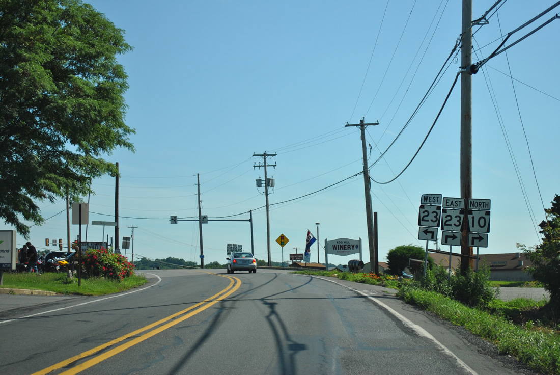
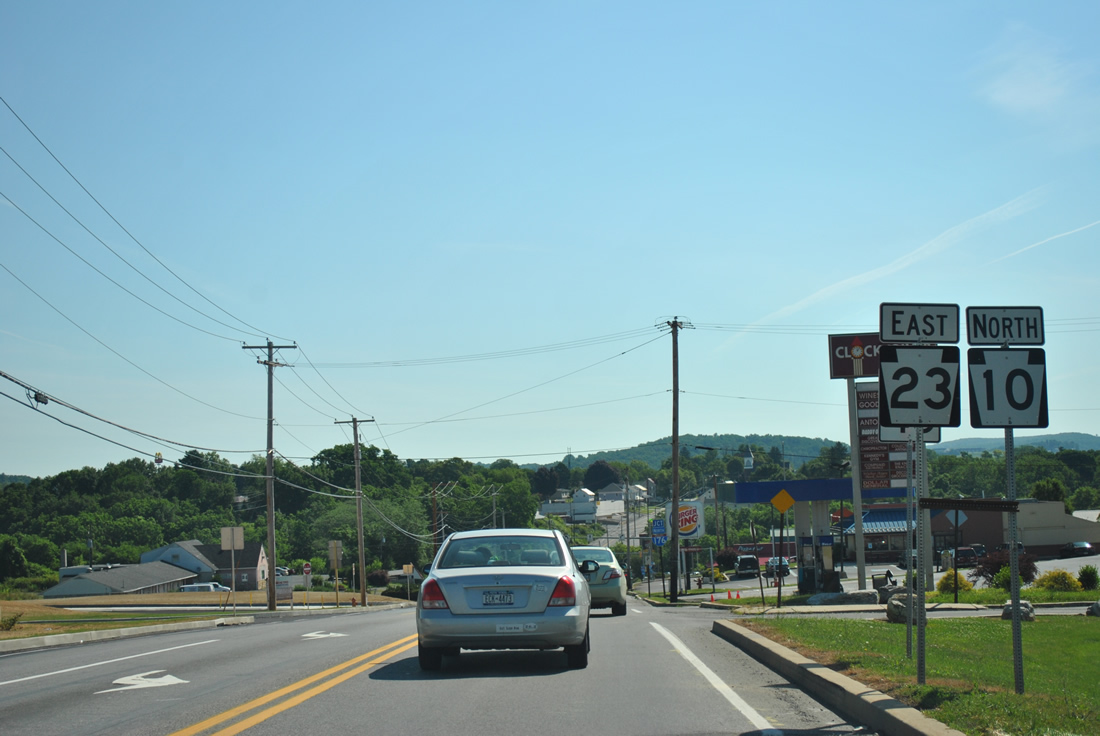
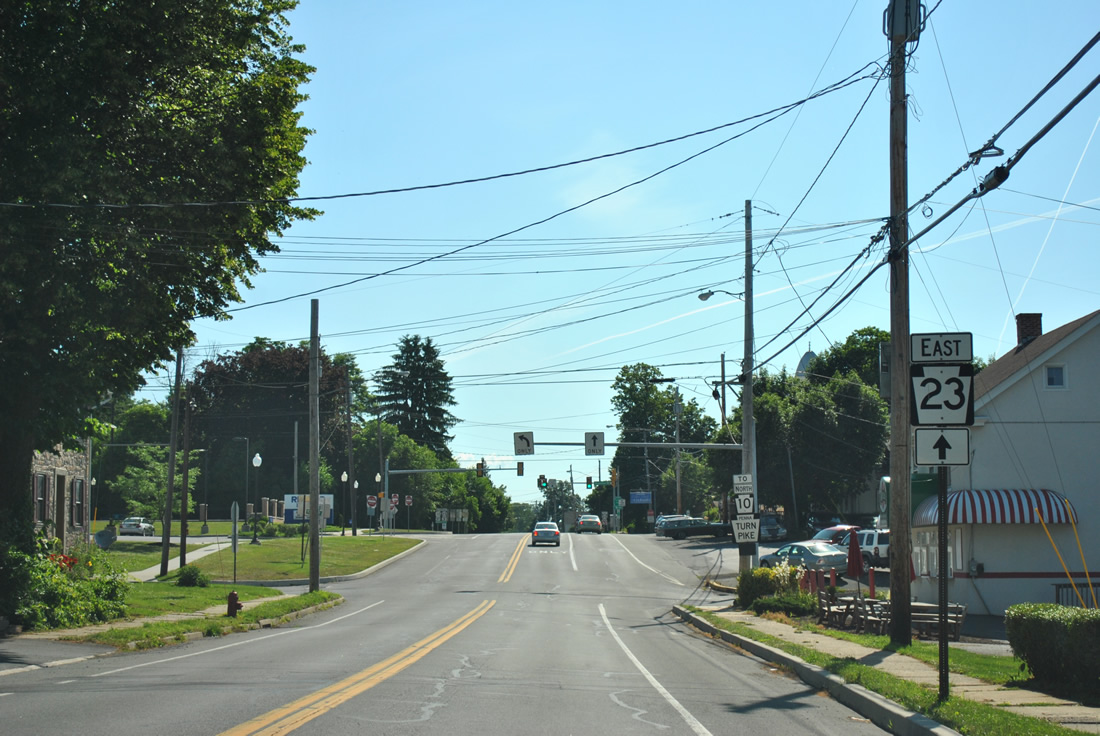
| PA 10 (Twin County Road) converges with PA 23 (Main Street) and Swamp Road on the west side of Morgantown. 06/24/12 |
|
| PA 23 travels west from Morgantown to Blue Ball, New Holland and Lancaster. 06/24/12 |
|
| PA 10/23 combine along Main Street east of Swamp Road north and Twin County Road south. 06/24/12 |
|
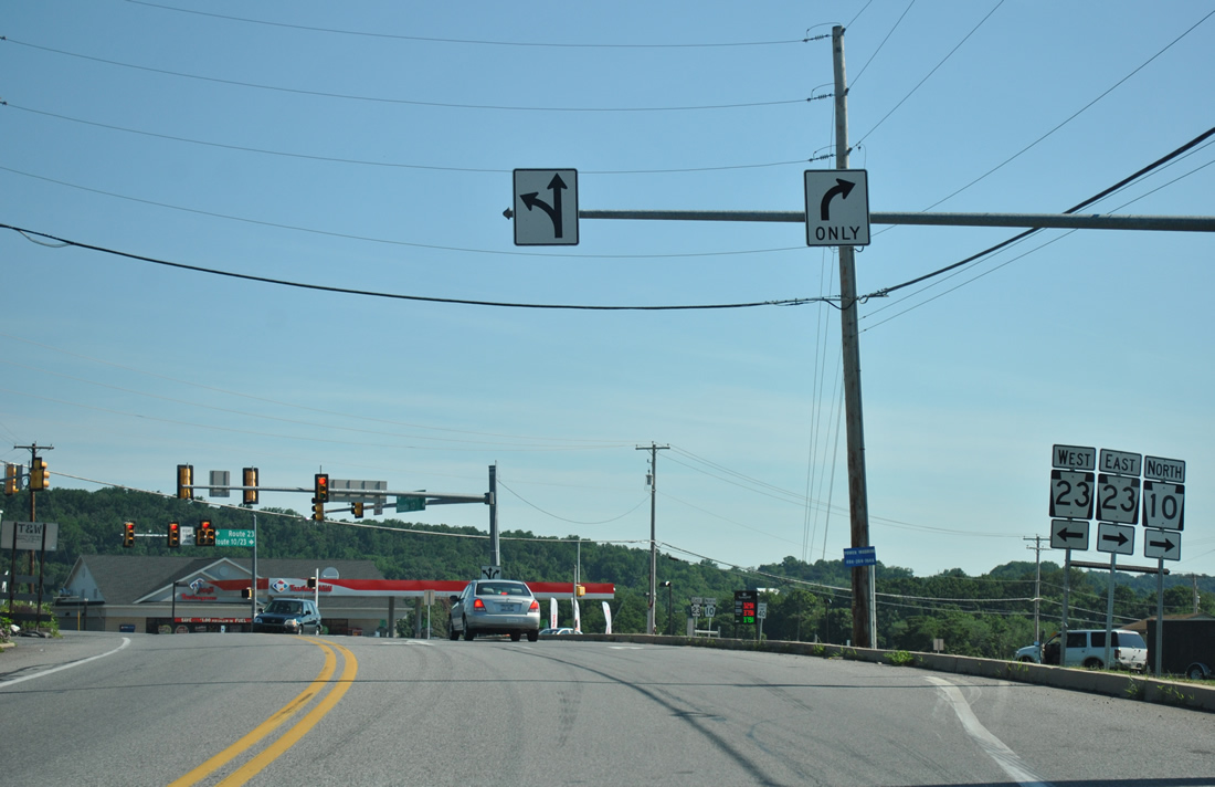
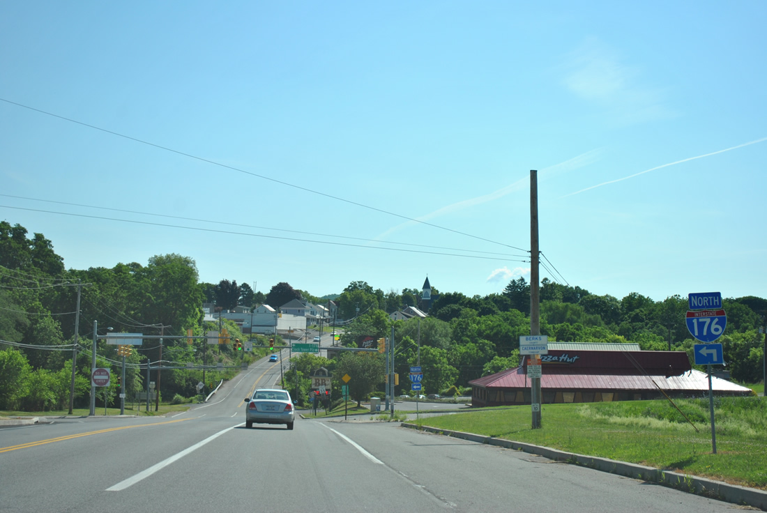
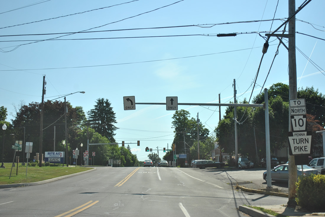
| PA 10/23 (Main Street) lower toward the south end of the Morgantown Expressway (I-176). 06/24/12 |
|
| I-176 ended at PA 10/23 (West Main Street) until September 1996, when the Morgantown Connector opened to traffic along the north side of Morgantown. The connector directly linked I-176 with I-76 (Pennsylvania Turnpike), replacing a Breezewood connection along PA 10. 06/24/12 |
|
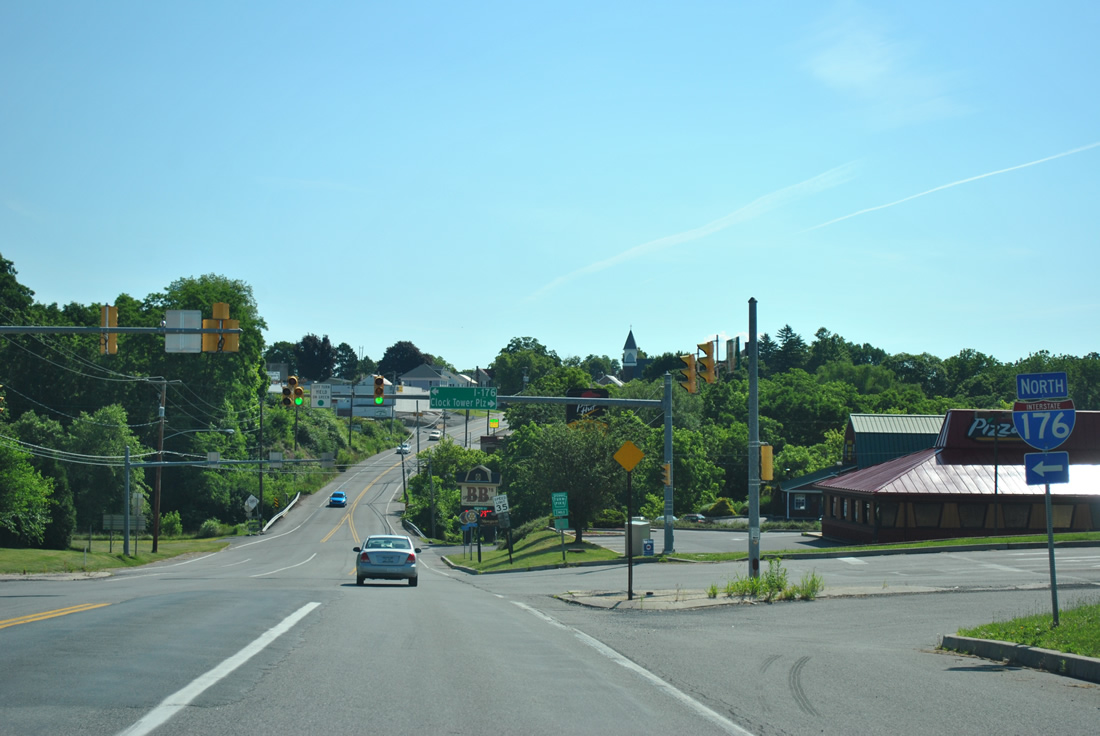
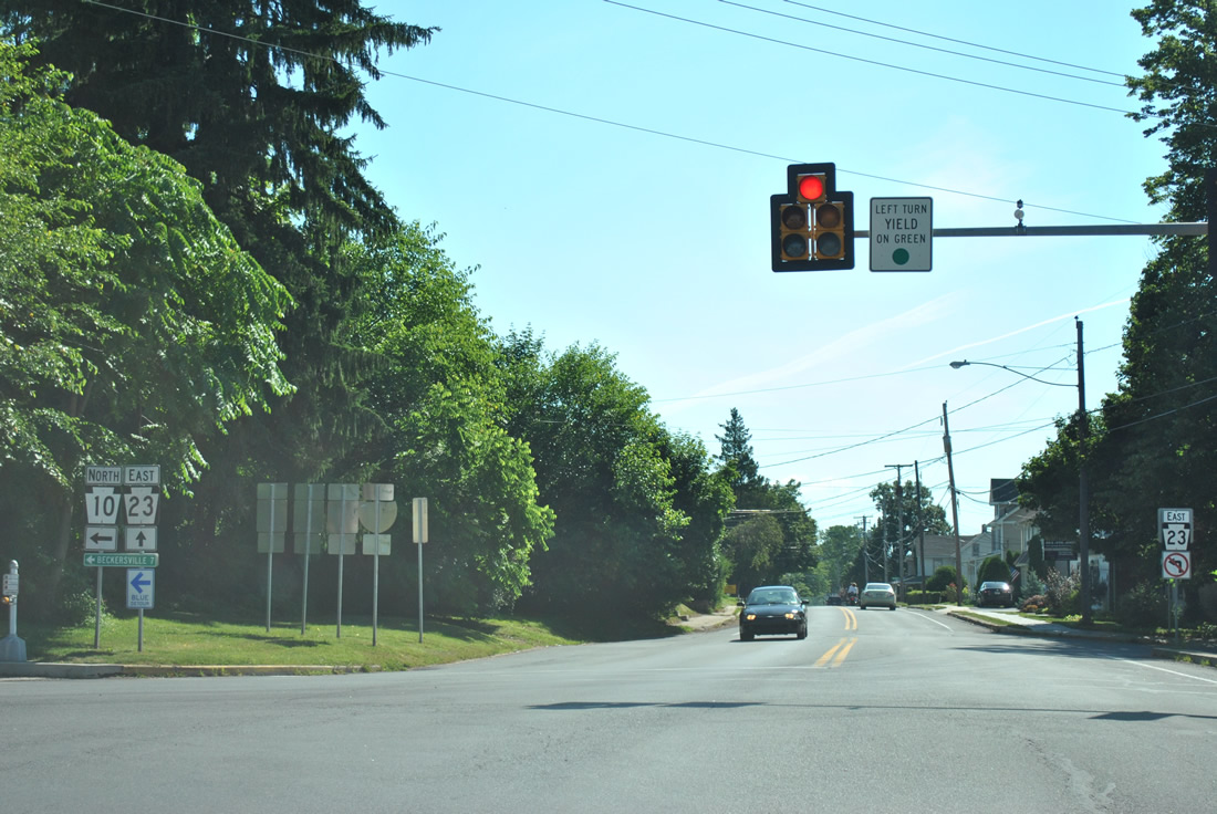
| PA 10/23 enter Berks County at Interstate 176 north and Clock Tower Plaza south. Completed in 1962, the Morgantown Expressway runs north from Main Street to U.S. 422 (Reading Bypass). 06/24/12 |
|
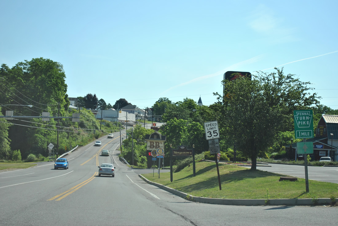
| Since removed, a Pennsylvania Turnpike trailblazer referenced the Morgantown Interchange along PA 10 via PA 10/23 (Main Street) east. 06/24/12 |
|
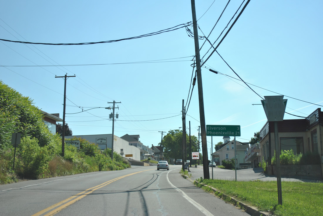
| An older Pennsylvania Turnpike trailblazer precedes a distance sign for the PA 23 destinations of Elverson and Phoenixville. 06/24/12 |
|
| PA 10/23 (Main Street) continue through a small street grid in Morgantown. 06/24/12 |
|
| PA 10 resumes a northward course from PA 23 (Main Street) along Morgantown Road to Plowville, Beckersville and Green Hills. 06/24/12 |
|
| The Pennsylvania Turnpike passes north of Morgantown, meeting Interstate 176 just east of PA 10 (Morgantown Road). 06/24/12 |
|
| PA 23 continues from Morgantown en route to Elverson and Warwick in northern Chester County. PA 10 follows old U.S. 122 northward into Reading. 06/24/12 |
|
| PA 10 (Morgantown Road) intersects North Street in Morgantown beyond PA 23 (Main Street). 06/24/12 |
|
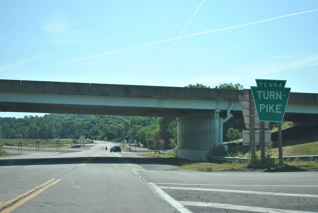
| Traffic lights operate at the entrance to Morgantown Center. Just after this signal is the former Morgantown Interchange, which joined the Pennsylvania Turnpike with PA 10 directly until November 1990. The exchange was relocated to the east to eventually link with the Morgantown Connector (I-176). 06/24/12 |
|
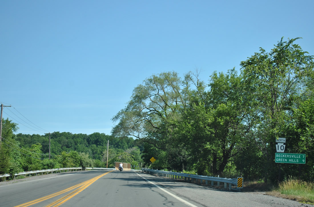
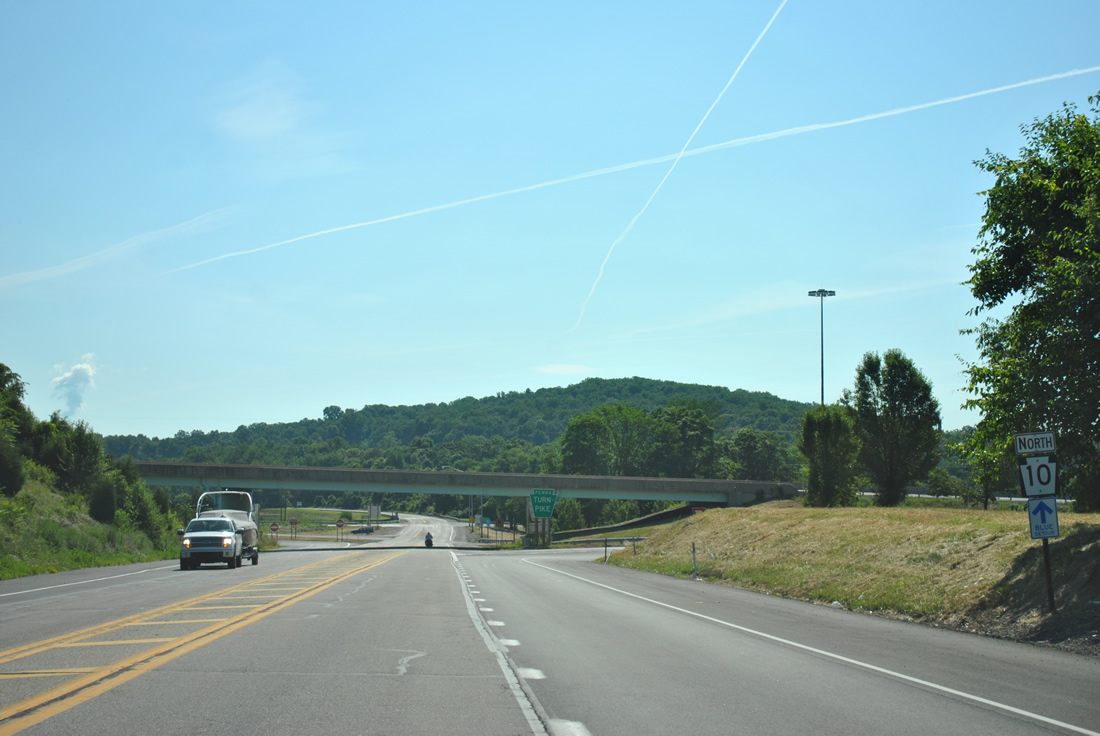
| PA 10 spans the Pennsylvania Turnpike (I-76) beyond this sign assembly. Located next to I-176, Beckersville and Green Hills are seven and nine miles away respectively. 06/24/12 |
|
| Reassurance marker posted east of Shiloh Road at Mine View Road. Early proposals for the Morgantown Connector included an interchange with Shiloh Road, a local road to the Conestoga Landfill. 06/24/12 |
|
| A parclo interchange joins PA 10 and the Morgantown Connector (Interstate 176). 06/24/12 |
|
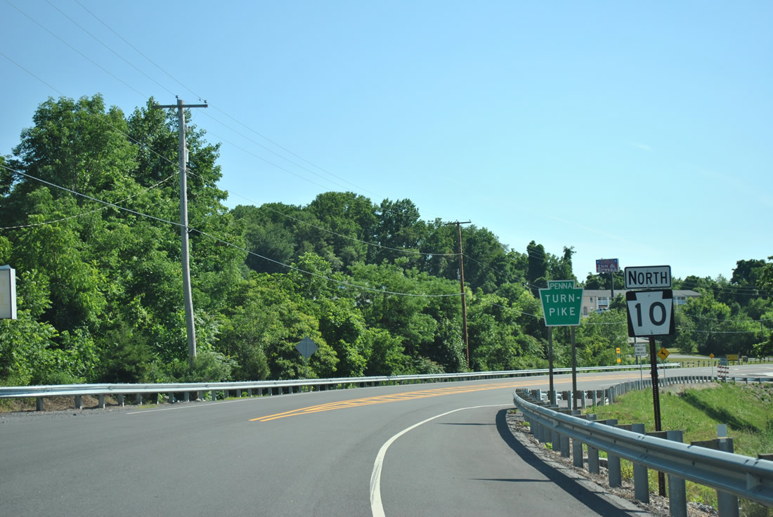
| The southbound entrance ramp to I-176 leads to the Pennsylvania Turnpike. Interstate 76 passes south of the Reading area and north of the Lancaster area between Harrisburg and Philadelphia. 06/24/12 |
|
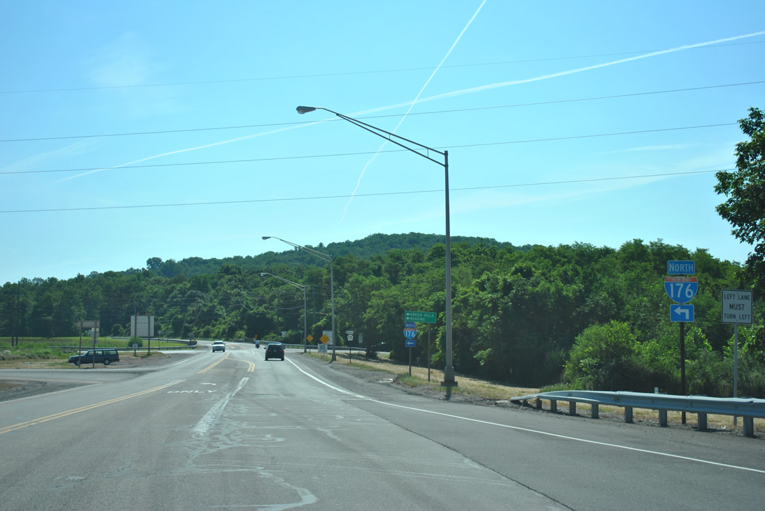
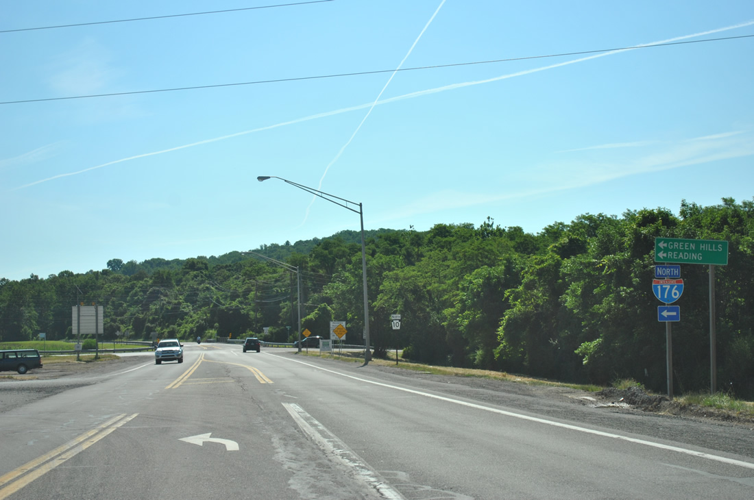
| Interstate 176 spurs north from the Pennsylvania Turnpike to U.S. 422 and Reading. 06/24/12 |
|
| PA 10 (Morgantown Road) parallels Interstate 176 northward to Green Hills, where additional ramps join the two highways. 06/24/12 |
Page Updated 05-19-2013.