|
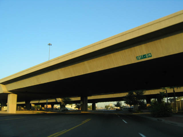
| Now in Phoenix, Grand Avenue originates at a five-way intersection with Van Buren Street (former U.S. 60-70-80-89, SR 93, and Business Loop I-10) and 7th Avenue. The road is not state maintained until reaching Interstate 17, but we begin here, where Grand Avenue passes under Interstate 10. As recently as the late 1990s, U.S. 60 was routed to begin its journey on Grand Avenue here at this interchange, but the routing was changed when U.S. 60 was moved to follow Interstate 17 around downtown until the Thomas Road exit. 10/24/03 |
|
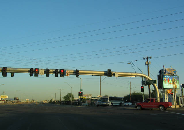
| As a major southeast-northwest arterial that neatly bisects each block, Grand Avenue has several five and six way intersections, thus necessitating traffic lights that allow for traffic flow for a higher number of movements, thus increasing the wait. To mitigate this, several six-way interchanges are being replaced with partial interchanges, so that Grand Avenue traffic may continue unabated through the intersection. This first six-way intersection on Grand Avenue is at McDowell Road and 19th Avenue. 10/24/03 |
|
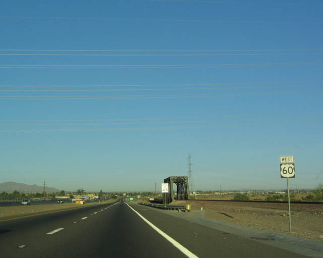
| Just before meeting Interstate 17 and U.S. 60, Grand Avenue passes by 22nd Avenue. 03/04/07 |
|
| U.S. 60 at 23rd Avenue. 03/04/07 |
|
| U.S. 60 meets 24th Drive here. 03/04/07 |
|
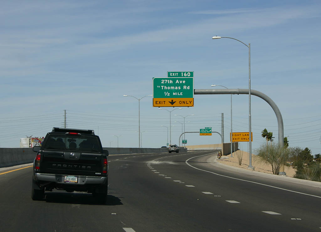
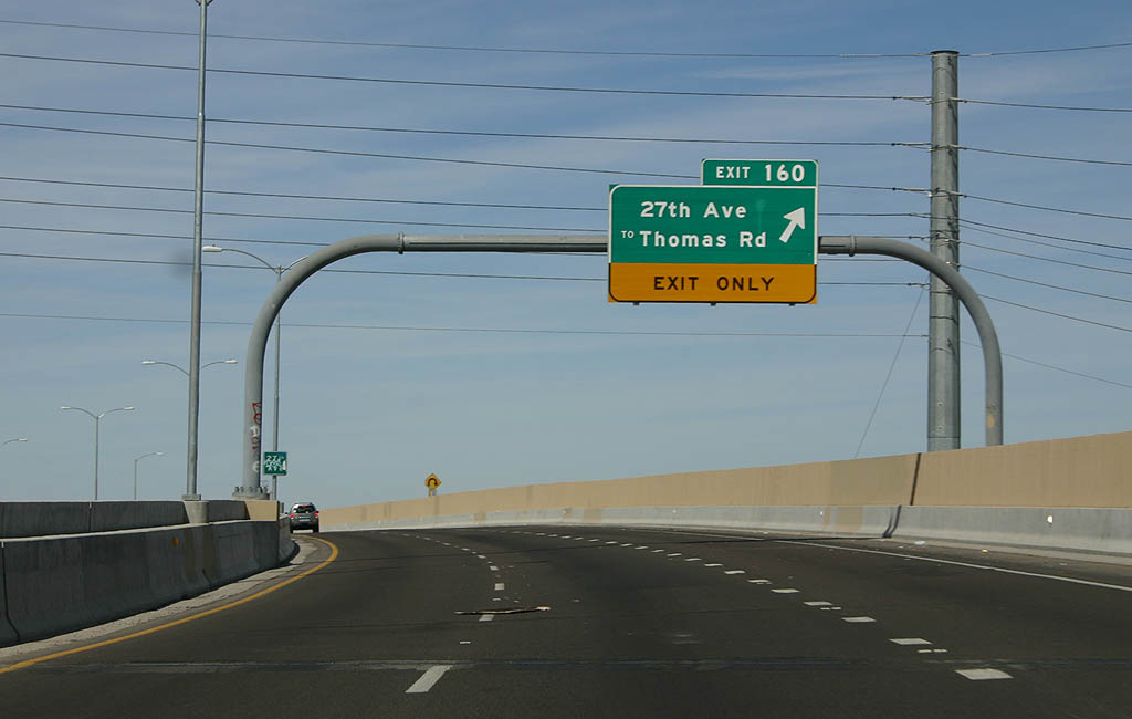
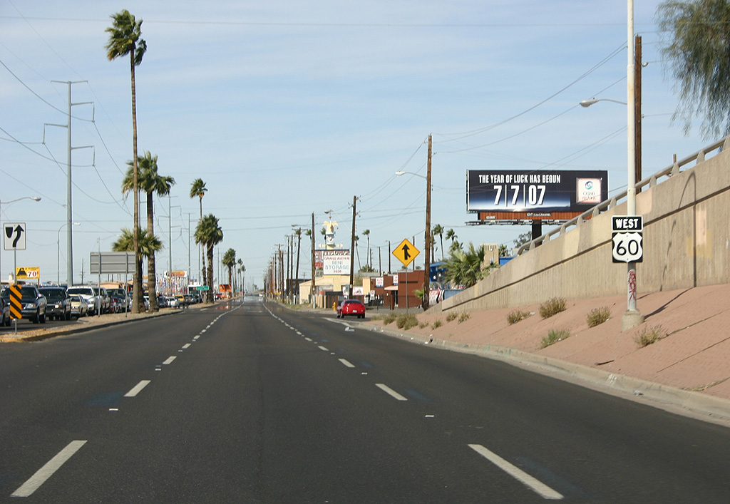
| U.S. 60 splits from Interstate 17 at the Thomas Road interchange, and it turns northwest via Grand Avenue to exit the metropolitan area. However, it passes through some densely populated communities as it leaves the Valley of the Sun. As mentioned previously, some of the intersections are being converted to interchanges, and the first one completed is Exit 160, which serves 27th Avenue and Thomas Road. 03/04/07 |
|
| At Exit 160, Grand Avenue westbound picks up U.S. 60 from Thomas Road. 03/04/07 |
|
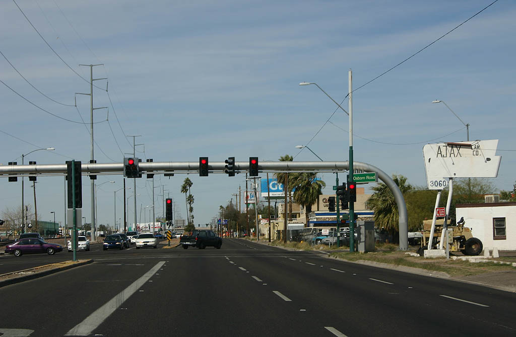
| Westbound U.S. 60/Grand Avenue approaching Osborn. 03/04/07 |
|
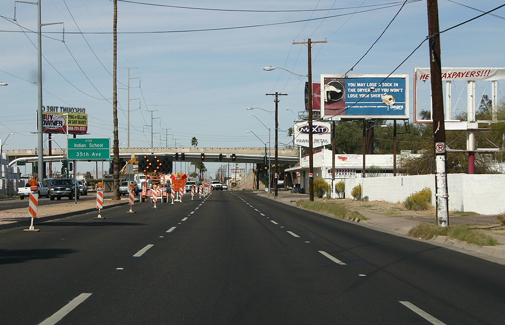
| Westbound U.S. 60/Grand Avenue approaching Indian School. Another overpass is in place at this intersection to assist in traffic flow. 03/04/07 |
|
| Westbound U.S. 60 at 35th Avenue/Indian School Road. 35th Avenue is carried on the overpass. 03/04/07 |
|
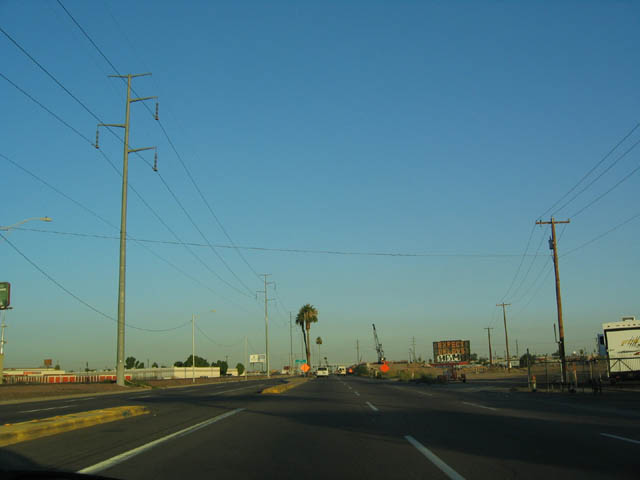
| U.S. 60/Grand Avenue serves a fairly industrial area as it passes through west Phoenix. 03/04/07, 10/24/03 |
|
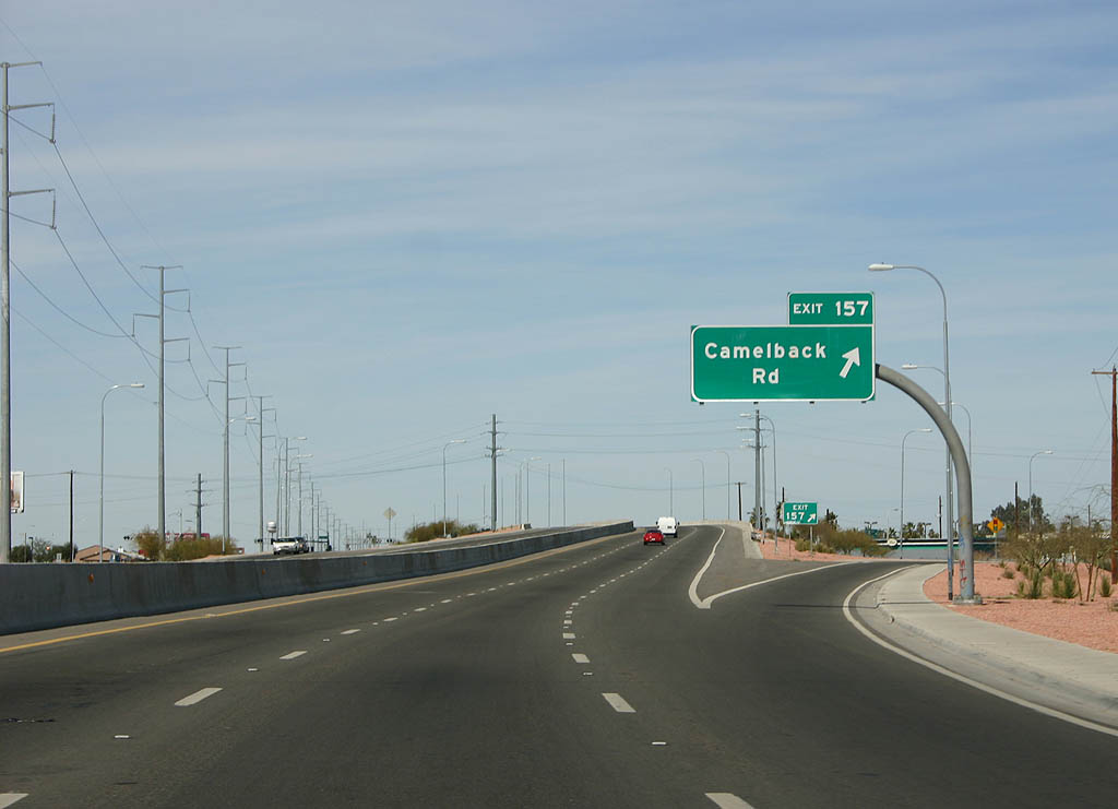
| Westbound U.S. 60/Grand Avenue at 43rd Avenue and Camelback Road, exit 160. U.S. 60 now leaves Phoenix and enters Glendale. 10/24/03, 03/04/07 |
|
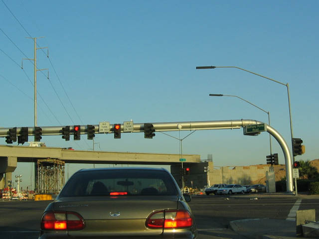
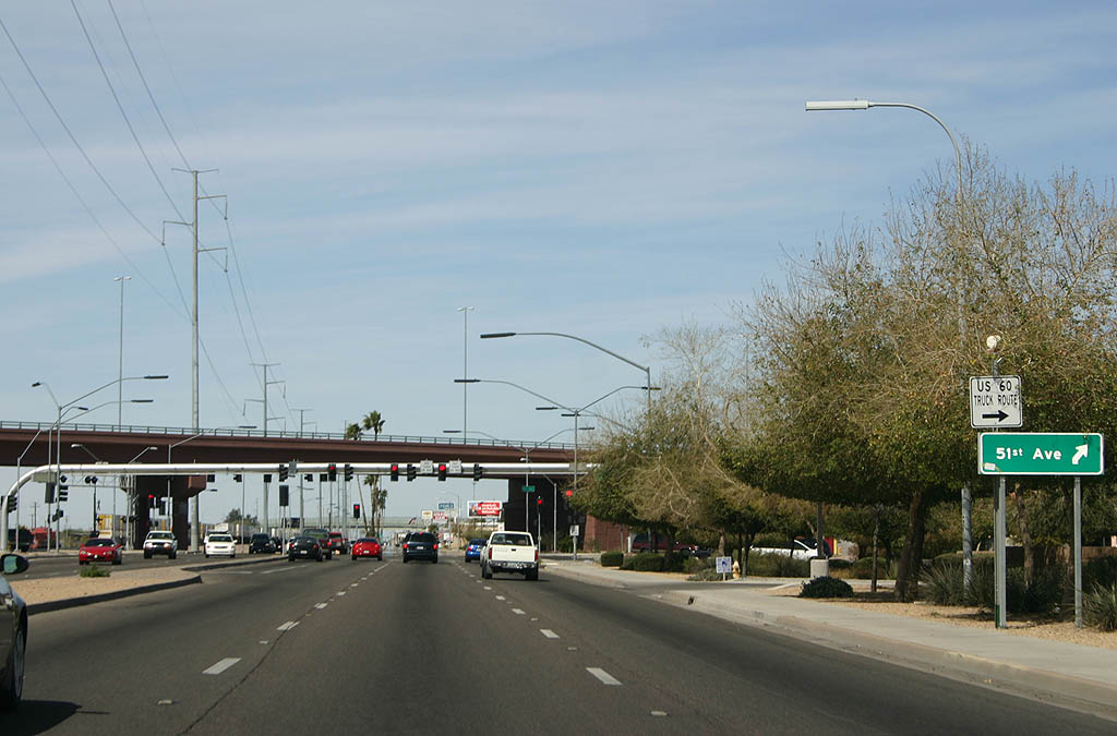
| Westbound U.S. 60/Grand Avenue at Bethany Home Road and 51st Avenue. 10/24/03, 03/04/07 |
|
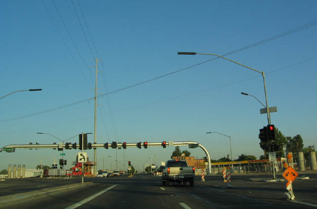
| Westbound U.S. 60/Grand Avenue at Maryland Avenue/55th Avenue. 10/24/03, 03/04/07 |
|
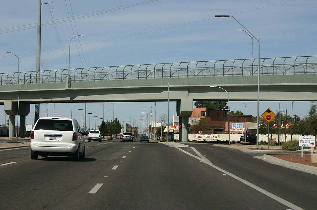
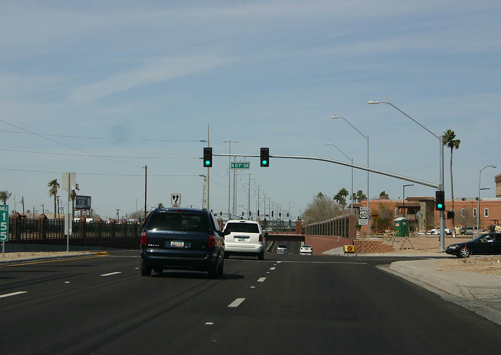
| Westbound U.S. 60 at 57th Avenue. Use 57th Avenue to reach downtown Glendale. 03/04/07 |
|
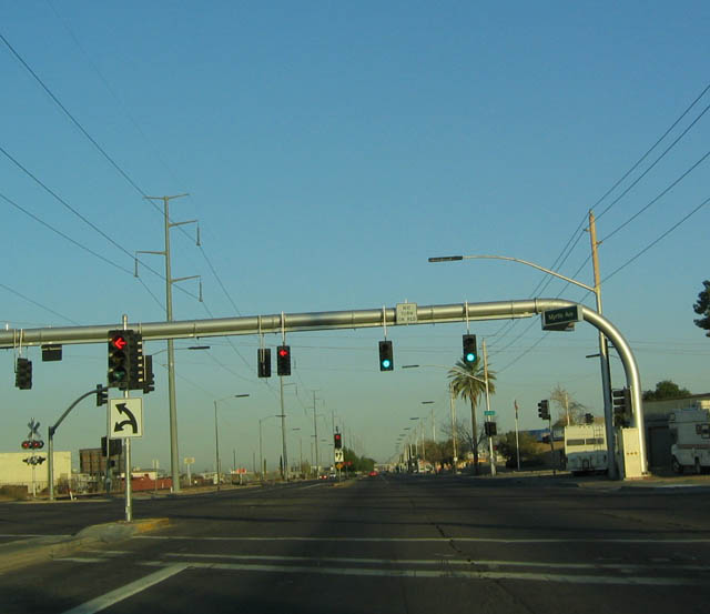
| Westbound U.S. 60/Grand Avenue approaching Myrtle. 10/24/03 |
|
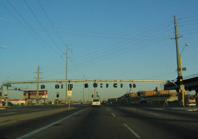
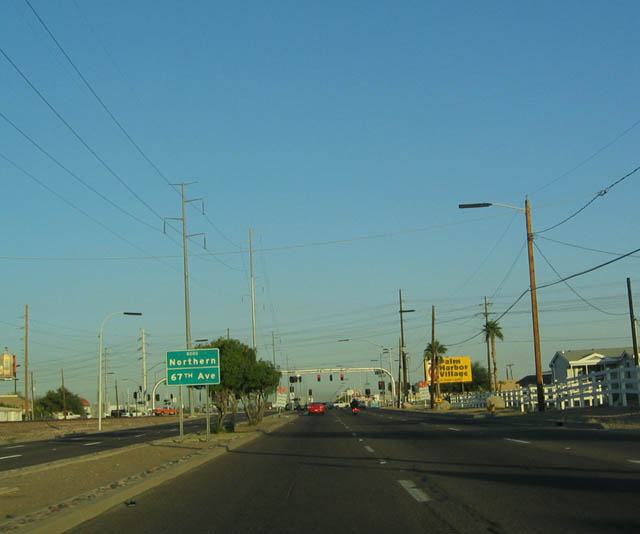
| Westbound U.S. 60/Grand Avenue approaching Northern Avenue and 67th Avenue. Again, this intersection is slated for upgrade to an interchange to accommodate higher traffic volume. 10/24/03 |
|
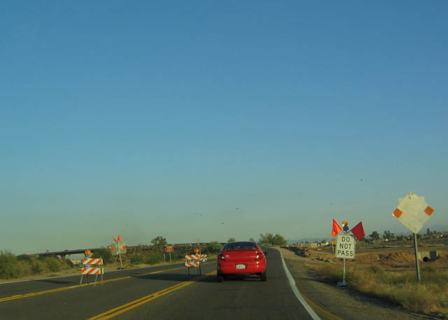
| U.S. 60 leaves Glendale and enters Peoria, the spring training home of Major League Baseball's San Diego Padres. This section of U.S. 60 was under construction to increase capacity from two lanes to four lanes. 10/24/03 |
|
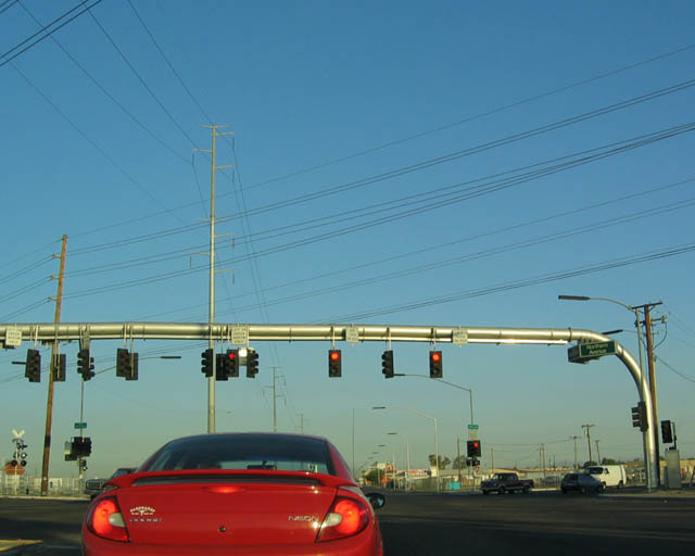
| Westbound U.S. 60/Grand Avenue approaching Olive Avenue and 75th Avenue, another six-way interchange. Diagonal streets don't do too well in a street grid system. 10/24/03 |
|
| U.S. 60 follows the railroad on its way through the northwest suburbs of Phoenix. 10/24/03 |
|
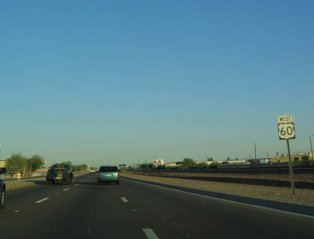
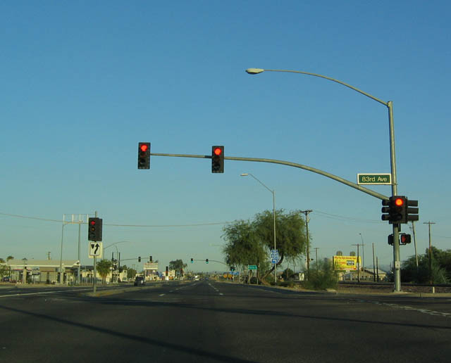
| Westbound U.S. 60/Grand Avenue approaching 83rd Avenue. 10/24/03 |
|
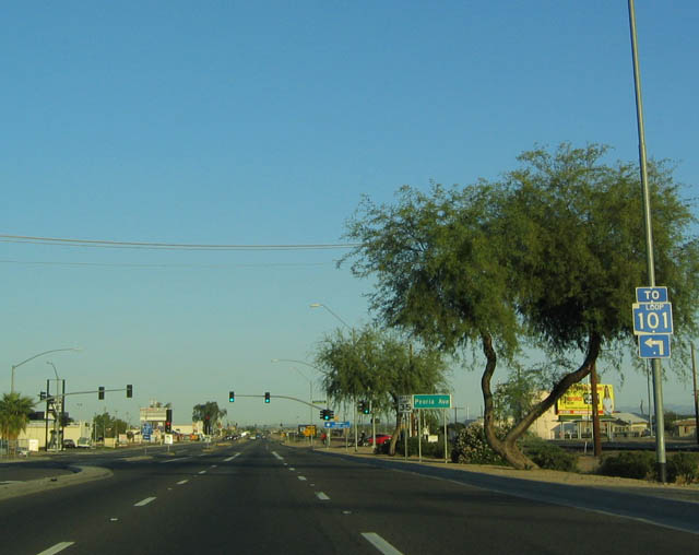
| Westbound U.S. 60/Grand Avenue approaching Peoria Avenue. Westbound Peoria Avenue connects to southbound Arizona Loop 101, the beltway around Phoenix. 10/24/03 |
|
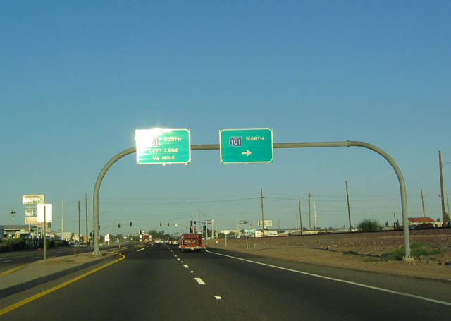
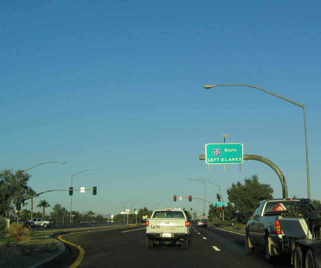
| Westbound U.S. 60/Grand Avenue approaching Arizona Loop 101. 10/24/03 |
|
| Signage for Arizona Loop 101 as seen from westbound U.S. 60/Grand Avenue. Motorists taking Arizona Loop 101 north must turn right at the next traffic signal; southbound motorists may continue straight ahead to reach the freeway. 10/24/03 |
|
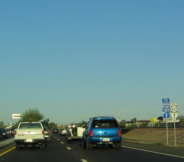
| Trailblazer signage along westbound U.S. 60 for Southbound Arizona Loop 101 (in case you didn't make the turn off at Peoria Avenue). 10/24/03 |
|
| Westbound U.S. 60/Grand Avenue approaching Junction Southbound Arizona Loop 101. 10/24/03 |
|
| Westbound U.S. 60/Grand Avenue approaching 99th Avenue. 10/24/03 |
|
| Westbound U.S. 60/Grand Avenue approaching 111th Avenue. Through this stretch, U.S. 60 heads a bit more west than north. 10/24/03 |
|
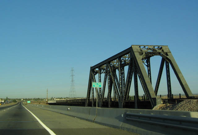
| Westbound U.S. 60/Grand Avenue approaching the Agua Fria River bridge. The truss bridge is for the railroad to span the river. 10/24/03 |
|
| View of the Agua Fria River bridge for U.S. 60 and railroad as seen along westbound. 10/24/03 |
|
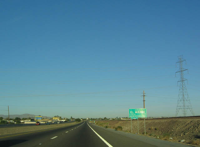
| Westbound U.S. 60/Grand Avenue entering the city of El Mirage. 10/24/03 |
|
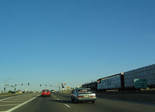
| Westbound U.S. 60/Grand Avenue entering the city of Surprise. 10/24/03 |
|
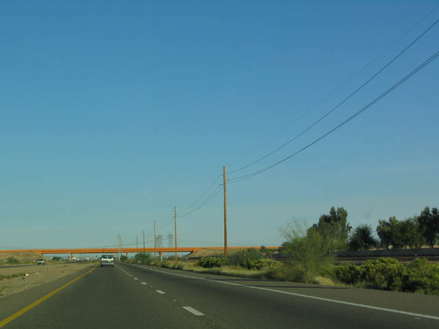
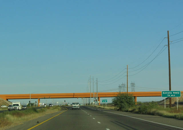
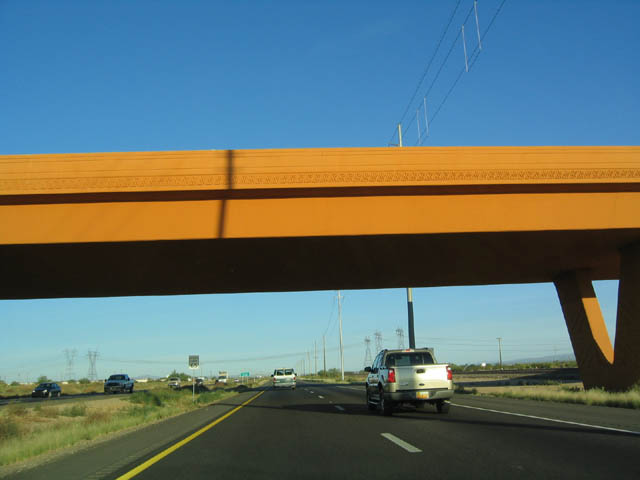
| The orange overpass for Loop 303 is visible several miles ahead of the actual interchange. Loop 303 leads south from this interchange to reach Interstate 10 near Exit 124 (Cotton Lane), west of Goodyear and east of Buckeye. 10/24/03 |
|
| Loop 303 is only signed as the Estrella Roadway (not parkway or freeway). As a two to four lane highway, Loop 303 is not freeway standard. Note that no Loop 303 shields are present, unlike those present at the southern terminus junction with Interstate 10. 10/24/03 |
|
| Indeed, Loop 303 is signed for having only one destination: Interstate 10. Neither Goodyear nor Buckeye are mentioned. 10/24/03 |
|
| View of the orange overpass, bright and colorful in the early morning sunlight. 10/24/03 |
|
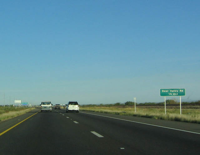
| Westbound U.S. 60 approaching Deer Valley Road, one half mile. 10/24/03 |
|
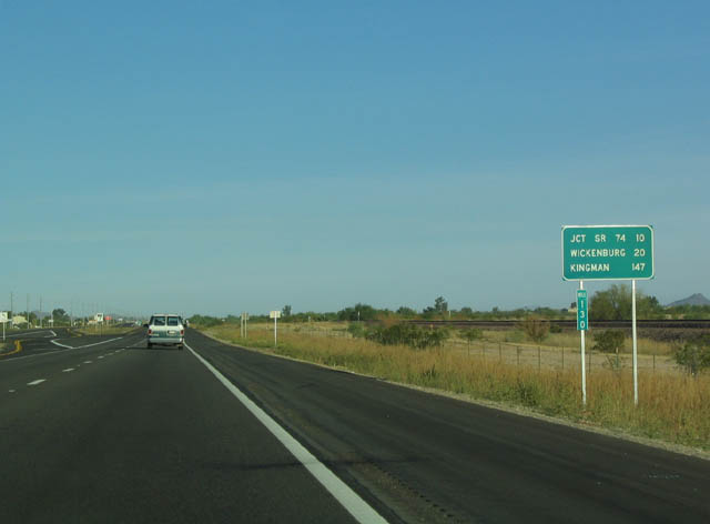
| Distance sign along westbound U.S. 60 for SR 74/Carefree Highway (10 miles), Wickenburg (20 miles), and Kingman (147 miles via U.S. 93). The ultimate destination of U.S. 60, which is Interstate 10 just east of Quartzsite, is not mentioned. As a side note, prior to the completion of Interstate 10, all Los Angeles-bound traffic used U.S. 60 (and U.S. 70, the former concurrent designation prior to 1964) through Wickenburg. 10/24/03 |
|
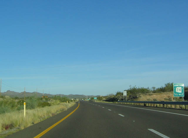
| Westbound U.S. 60 approaching SR 74/Carefree Highway, one half mile. 03/25/07 |
|
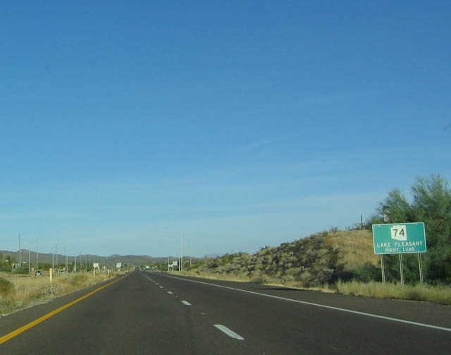
| SR 74 connects U.S. 60 with Interstate 17 via Lake Pleasant; SR 74 passes by the southern end of the lake near the dam. 03/25/07 |
|
| Westbound U.S. 60 at SR 74/Carefree Highway east. This junction is located in Morristown, a small settlement adjacent to the highway. 03/25/07 |
|
| West U.S. 60 shield after the SR 74 junction. 03/03/07 |
|
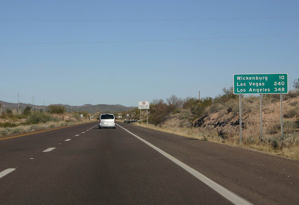
| Distance sign to Wickenburg, Las Vegas and Los Angeles. 03/03/07 |
|
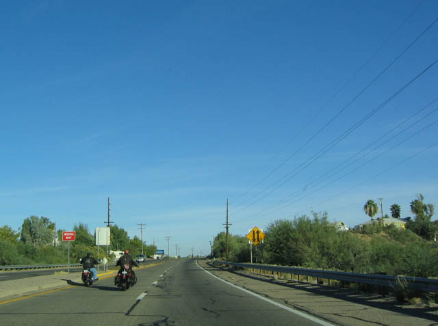
| Westbound U.S. 60 at the turnoff to the Hassayampa River Preserve. Note the variable message sign visible in the distance. 10/24/03 |
|
| The divided highway ends as U.S. 60 reaches the outskirts of Wickenburg. 10/24/03 |
|
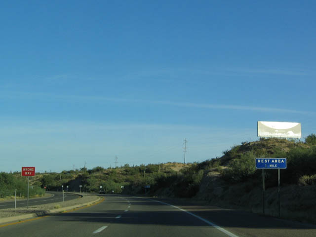
| A rest area is located along U.S. 60 northwest of SR 74 and Morristown. 10/24/03 |
Page Updated 11-01-2007.

 West
West