|
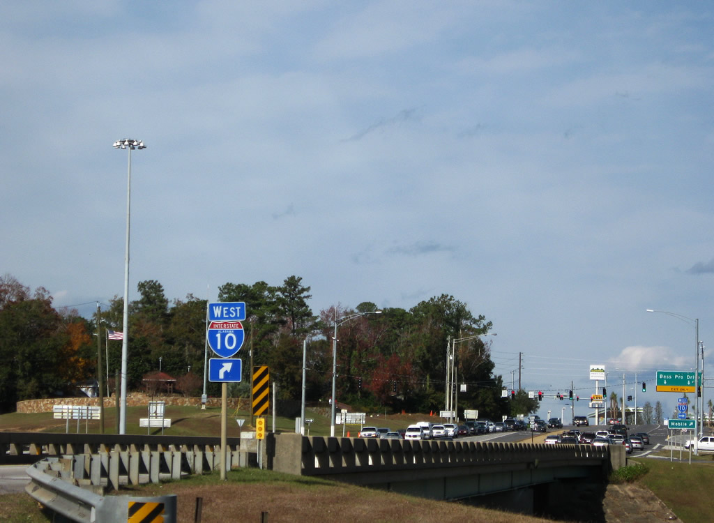
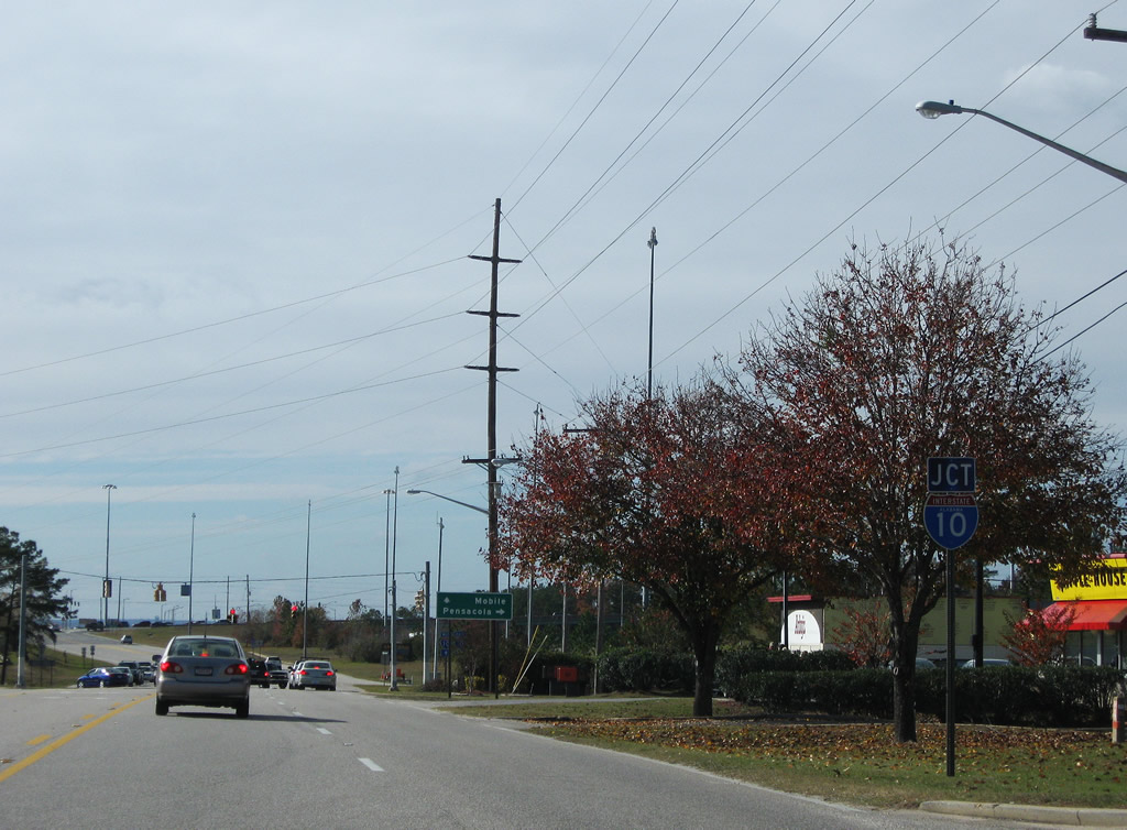
| The Welcome to Alabama sign stands ahead of a flood relief bridge for the Perdido River and Paper Company Road. A private road, Paper Company Road winds northward across I-10 to CR 112. 05/17/14 |
|
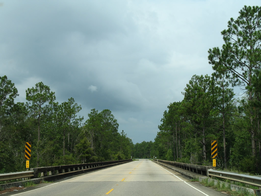
| A 1949 bridge carries U.S. 90 west over the Styx River relief waterway. 08/01/06 |
|
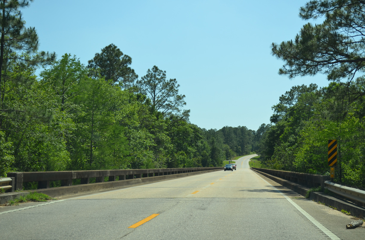
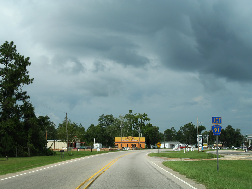
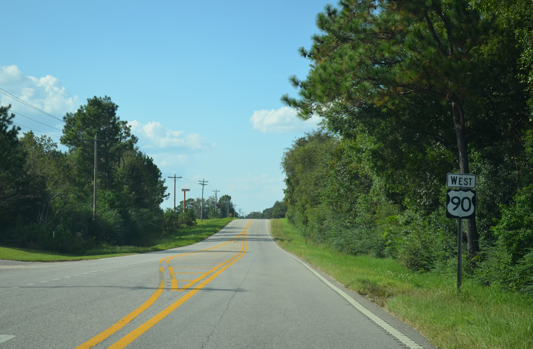
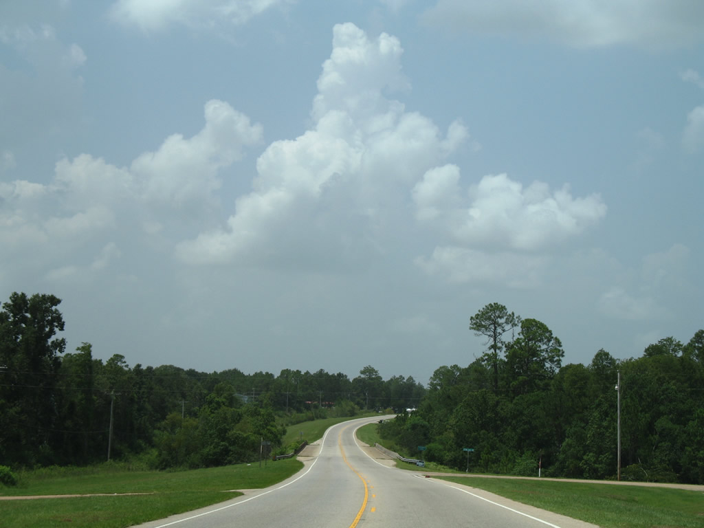
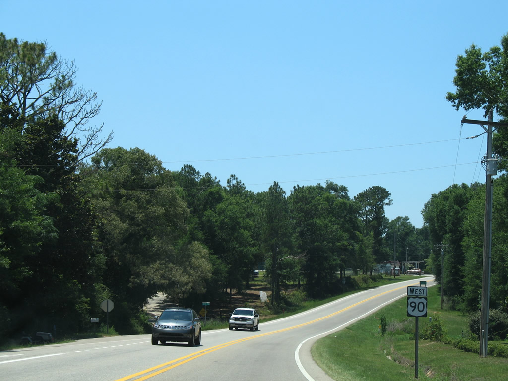
| U.S. 90 angles southwest across the Styx River into the community of Seminole. 05/17/14 |
|
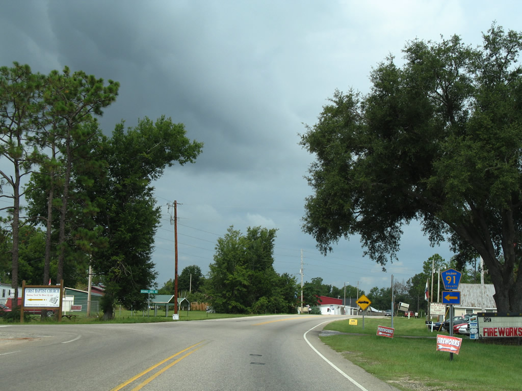
| CR 91 (Brown's Landing Road) meets U.S. 90 at Seminole. 08/01/06 |
|
| County Road 91 travels east along Brown's Landing Road to Three Rivers Road. CR 91 spurs southward to Kings Landing Road near the Blackwater River. 08/01/06 |
|
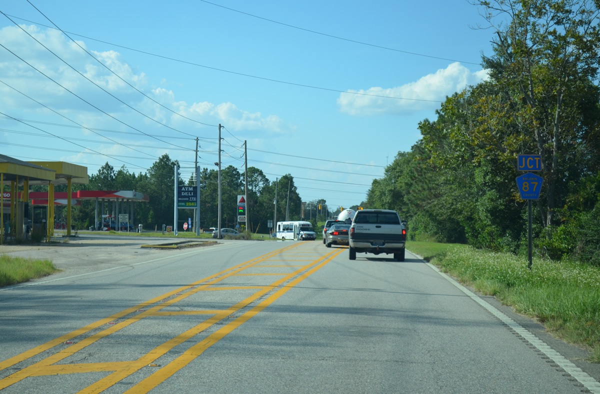
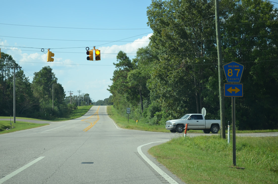
| CR 87 crosses paths with U.S. 90 at the settlement of Elsanor. 09/27/12 |
|
| County Road 87 meanders north from U.S. 90 and over Interstate 10 to CR 112, east of Gateswood. Southward the county highway connects with U.S. 98 near Elberta. 09/27/12 |
|
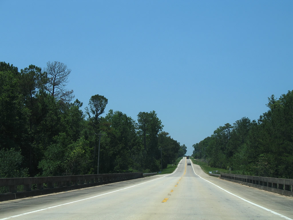
| Heading northwest from Elsanor along another rural stretch of U.S. 90. 09/27/12 |
|
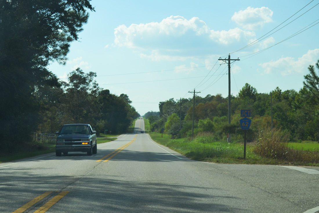
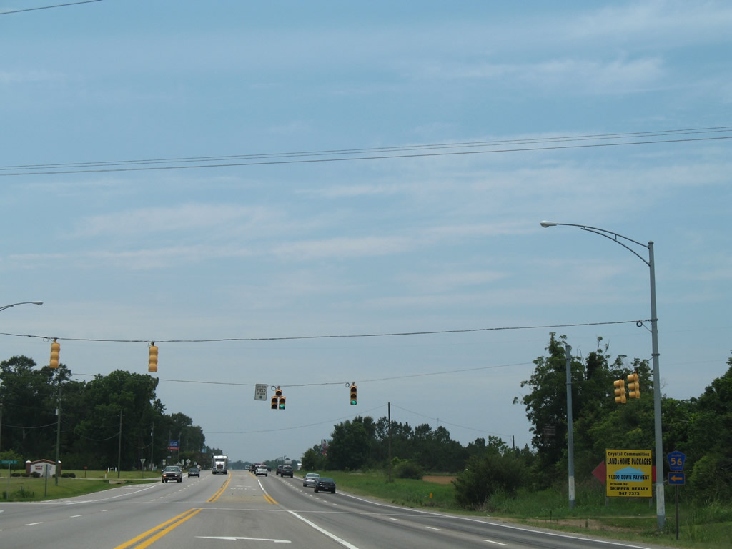
| The Northern branch of CR 62 branches away from U.S. 90 to CR 69 south of Rosinton. 06/07/06 |
|
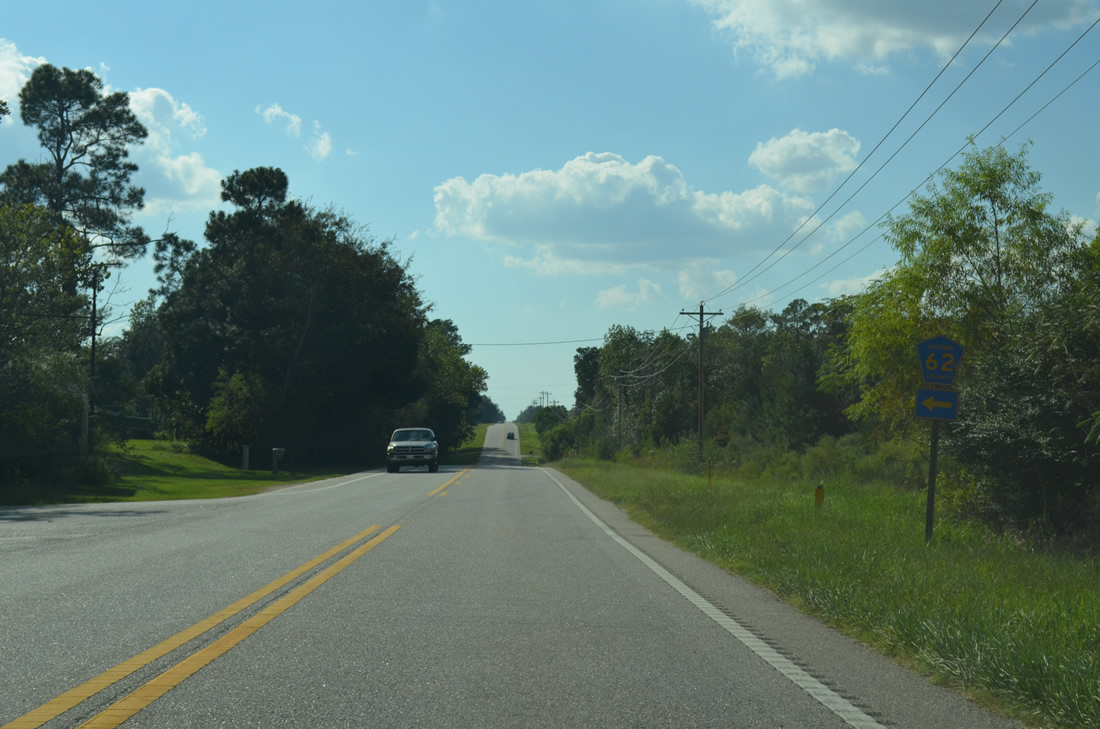
| CR 62 South departs U.S. 90 west one quarter mile from CR 62 North. 09/27/12 |
|
| Southward, CR 62 mainly serves agricultural interests along the spur to Glass and Spivey Road. 09/27/12 |
|
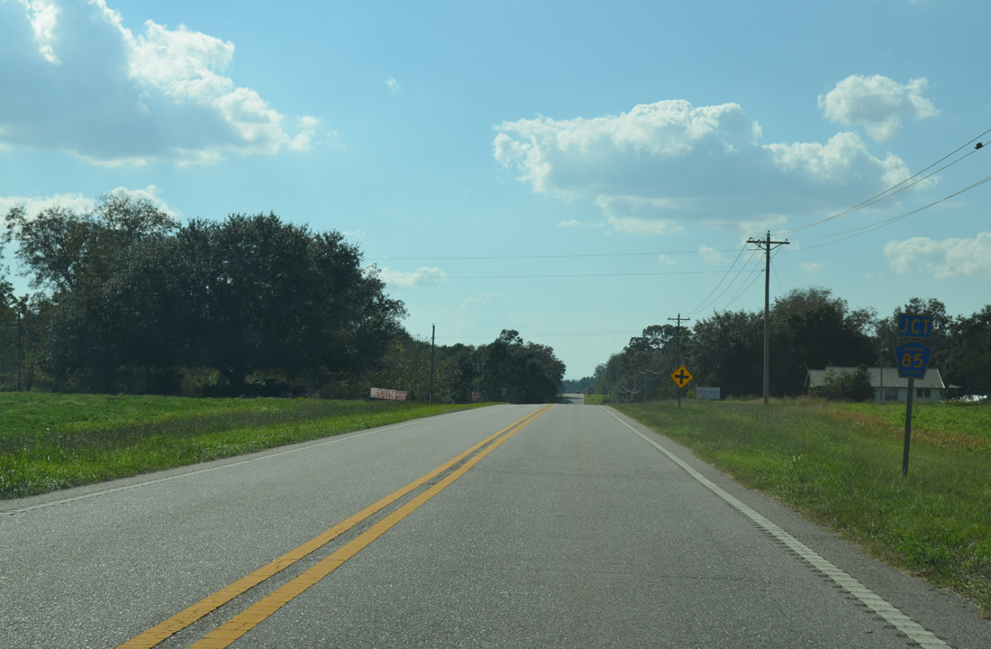
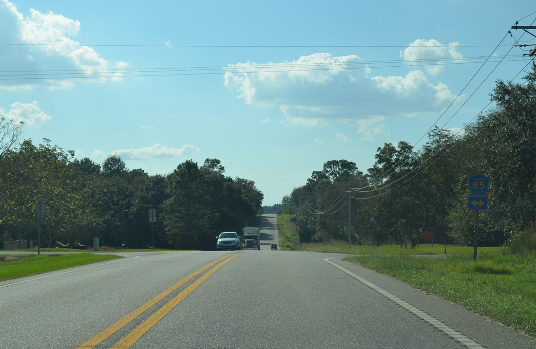
| 1.25 miles to the west, U.S. 90 intersects CR 85. 09/27/12 |
|
| County Road 85 spurs one mile south to Oak Tree Lane, serving a landing strip. Northward from U.S. 90, CR 85 angles to CR 62 via Price Grubbs Road. 09/27/12 |
|
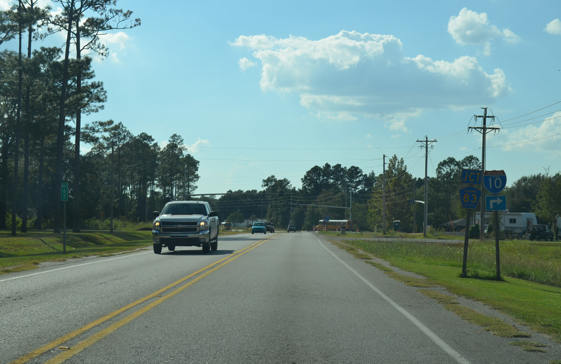
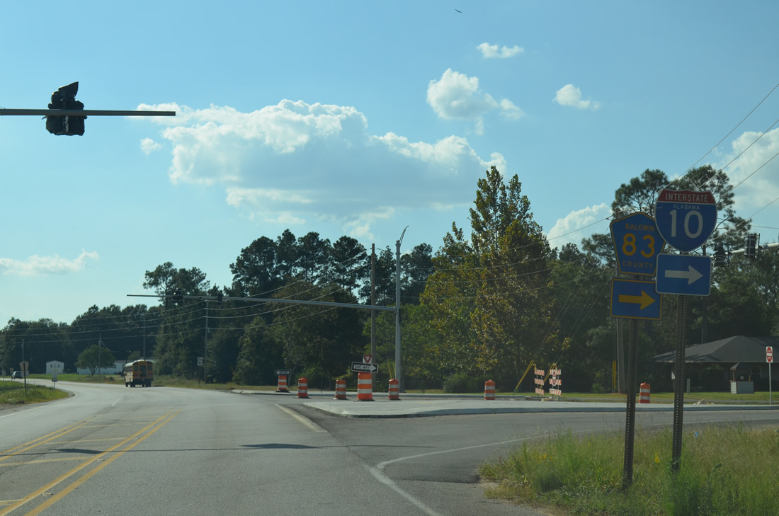
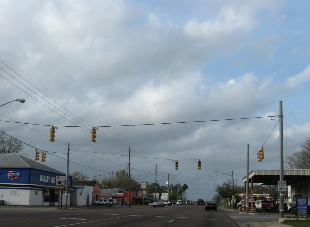
| Continuing one mile west from CR 85, U.S. 90 meets CR 83 / Baldwin Beach Express. CR 83 originally had four segments: from U.S. 90 north to CR 64, from Silverhill Avenue south near Summerdale to CR 36 (Greenwood Road), from CR 36 south to CR 32, and from CR 32 south along Main Street through Elberta to CR 20 at Miflin. 09/27/12 |
|
| Construction underway between 2010-12 upgraded CR 83 into the Baldwin Beach Express. The four lane highway leads north to I-10 on the eastern outskirts of Loxley and south to the Foley Beach Express. 09/27/12 |
|
| U.S. 90 leaves the CR 83 intersection and kinks southwest over the Blackwater River toward the city of Robertsdale. 03/18/12, 08/03/06 |
|
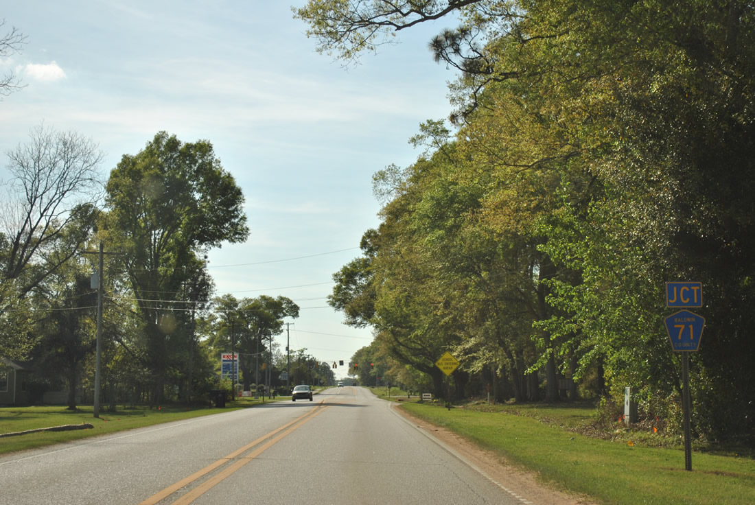
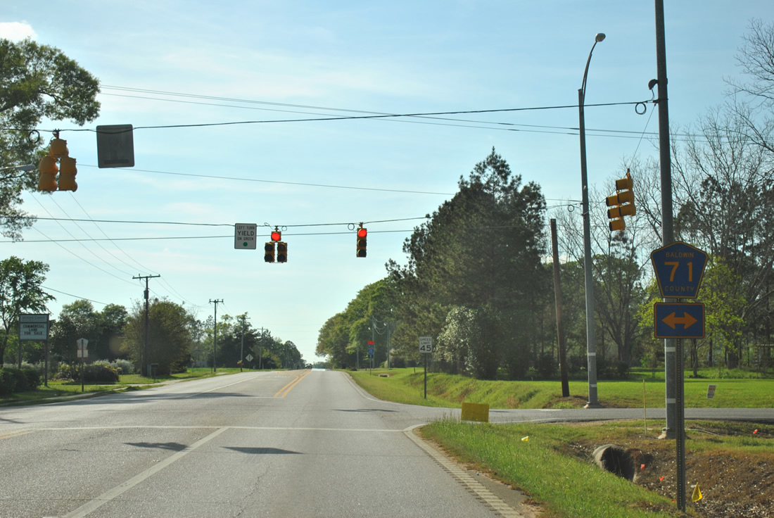
| One mile into Robertsdale is the U.S. 90 junction with CR 71 (College Avenue). 03/18/12 |
|
| CR 71 travels north from Robertsdale to CR 64 near Rosinton and southward paralleling SR 59 to Summerdale and northwest Foley. 03/18/12 |
|
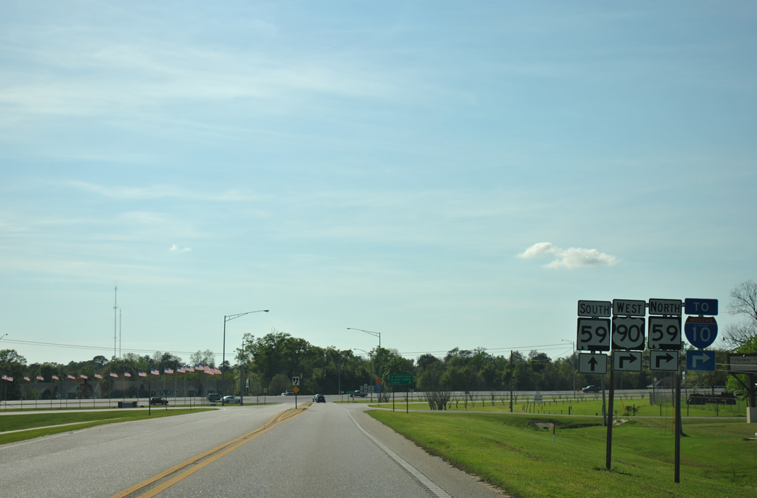
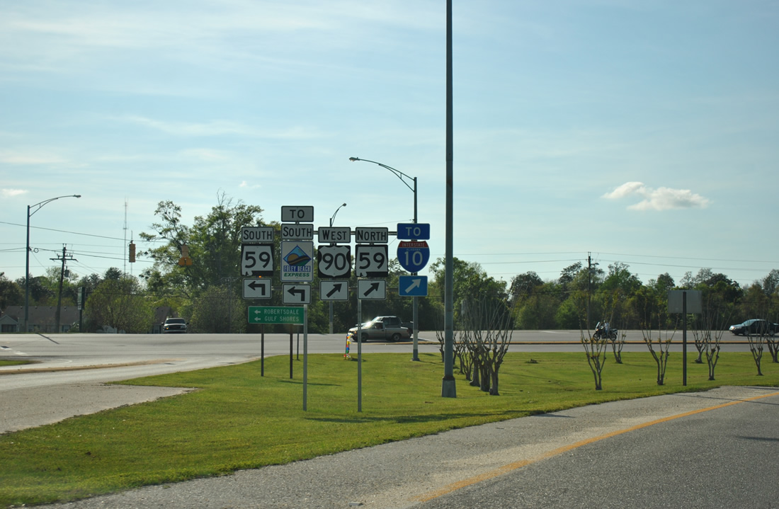
| Next along U.S. 90 west is the intersection with Palmer Street (CR 65) north and SR 59. 03/18/12 |
|
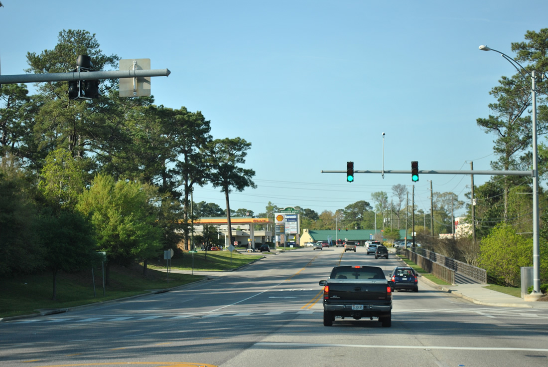
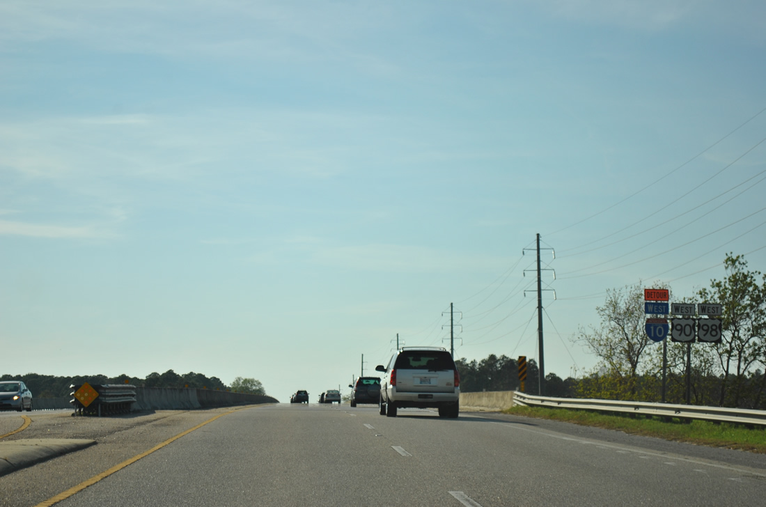
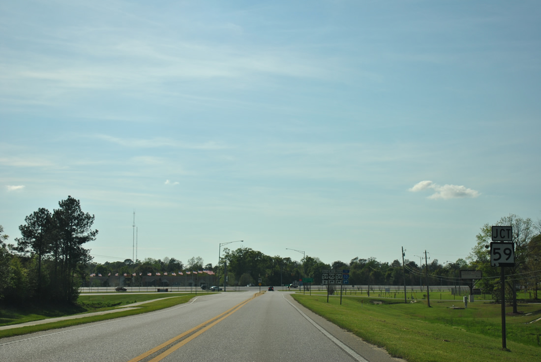
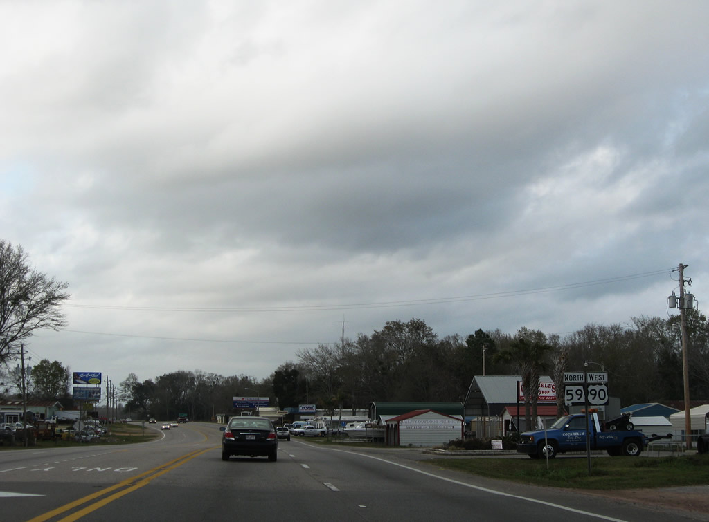
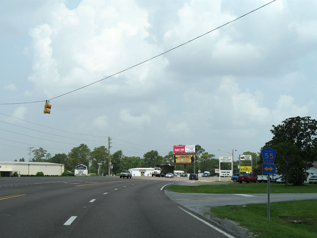
| CR 65 heads north from U.S. 90 to CR 64 while U.S. 90 joins SR 59 north between Robertsdale and Loxley. SR 59 constitutes the main route from the coastal resort areas of Gulf Shores and Orange Beach to both I-10 and I-65. 03/18/12 |
|
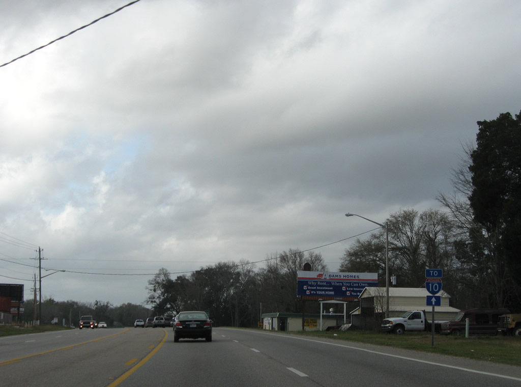
| SR 59 runs south from U.S. 90 to Downtown Robertsdale, Summerdale, Foley and SR 180 in Gulf Shores. Northward the 94 mile long state route continues to Stapleton, Bay Minette, Stockton and Uriah. 03/18/12 |
|
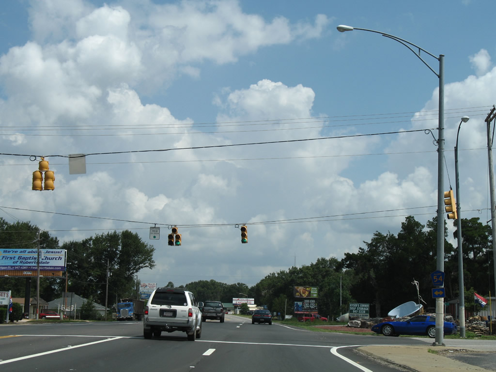
| Just after combining, U.S. 90/SR 59 intersect CR 54 at the Robertsdale city line. 03/18/12 |
|
| CR 54 begins at adjacent CR 65 and travels west from Robertsdale to NOLF Silverhill and CR 64 at growing suburban areas east of Daphne and Fairhope. 08/02/06 |
|
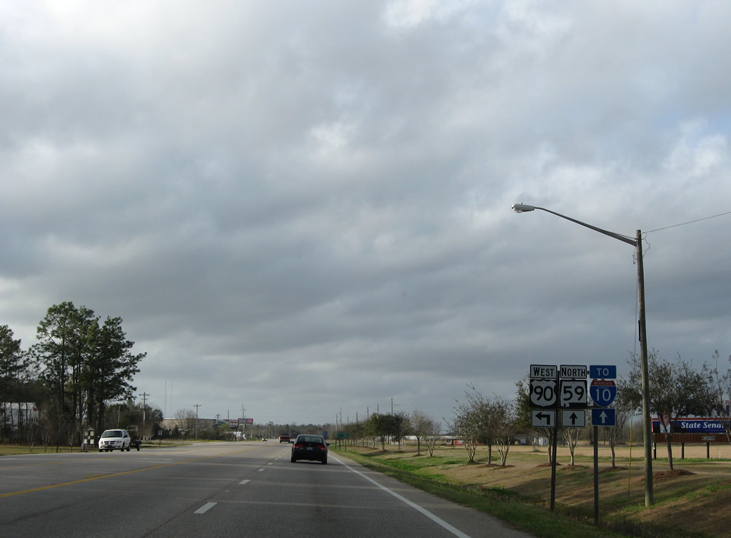
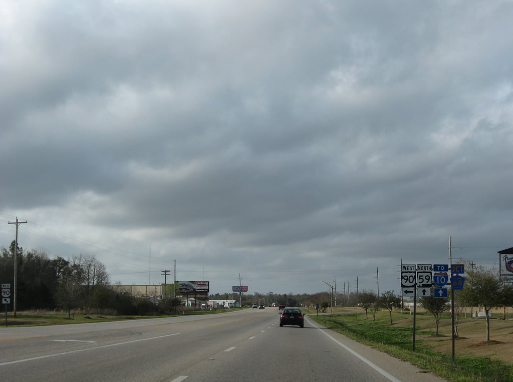
| U.S. 90 west and SR 59 north overlap for 5.3 miles. 03/08/09 |
|
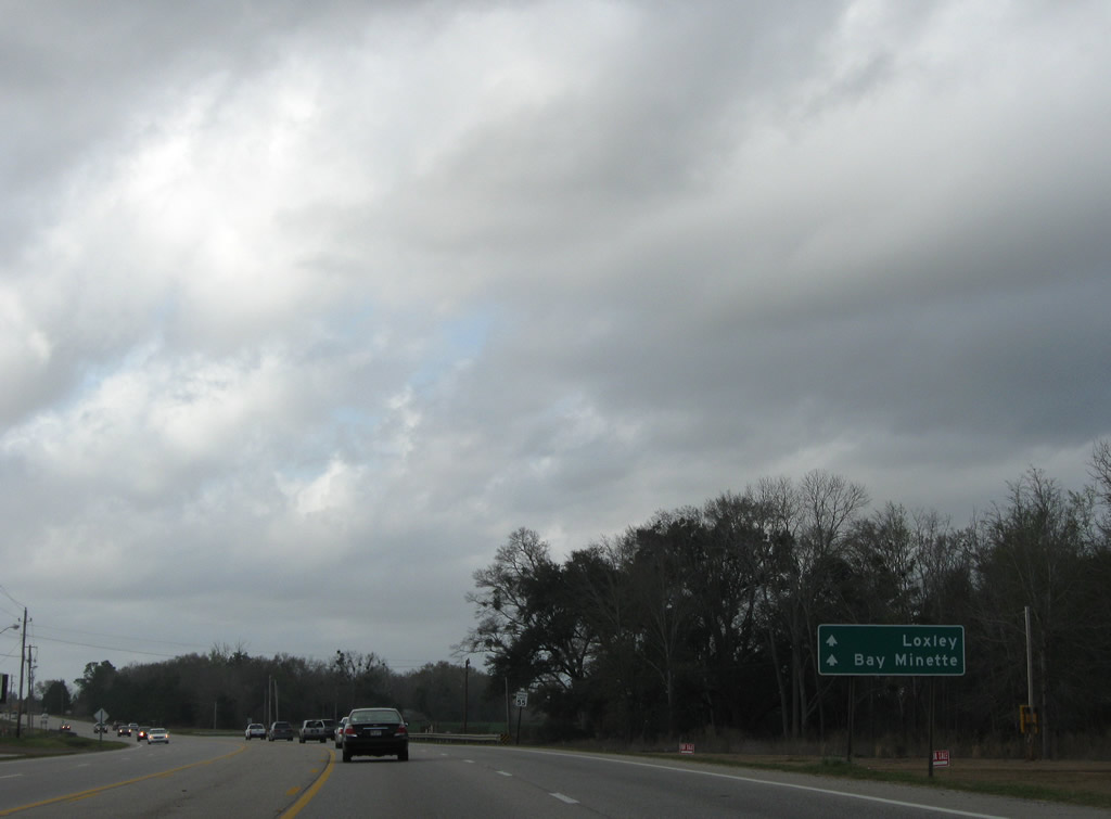
| An I-10 trailblazer and freeway style guide sign directing motorists toward Loxley and Bay Minette were posted along U.S. 90/SR 59 north by 2009. 03/08/09 |
|
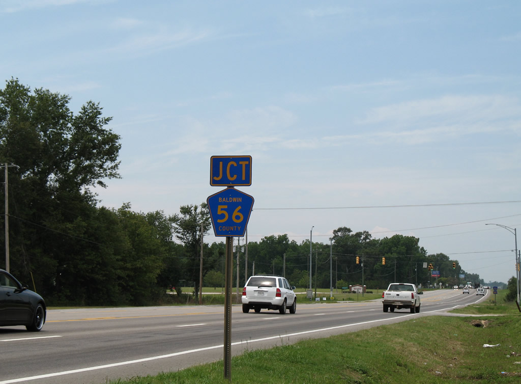
| U.S. 90/SR 59 curve northwesterly ahead of CR 56 (Thompson Road) west. 06/07/06 |
|
| CR 56 travels 1.50 miles west from U.S. 90/SR 59 to CR 55 south of Lake Raynagua. 06/07/06 |
|
| CR 55 continues north by Lake Raynagua to mert U.S. 90/SR 59 in Loxley. The county road follows Holley Street north to CR 68 in town. A traffic light was added to this intersection by 2010. 08/03/06 |
|
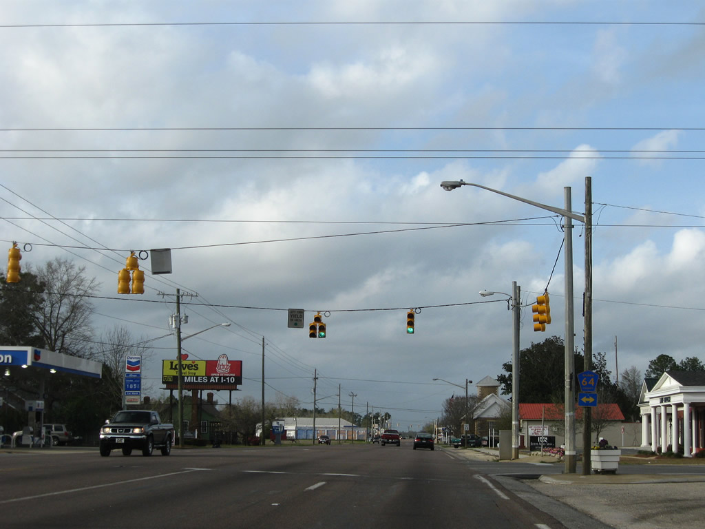
| Union Avenue carries CR 64 through central Loxley at U.S. 90/SR 59. 06/07/06 |
|
| The county road joins Loxley with Daphne to the west and Rosinton and Interstate 10 (Exit 53) to the east. 03/08/09 |
|
| Two blocks northward is the signalized intersection between U.S. 90/SR 59 with Relham Drive. Relham Drive travels west to CR 49 (Magnolia Street) and east as 1st Avenue to Cabinet Shop Road. 03/08/09 |
|
| U.S. 90/SR 59 curve westward from CR 66 (St. Alban Avenue) and split beyond the street grid of Loxley. 03/08/09 |
|
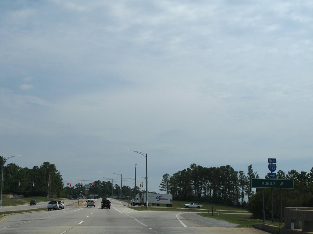
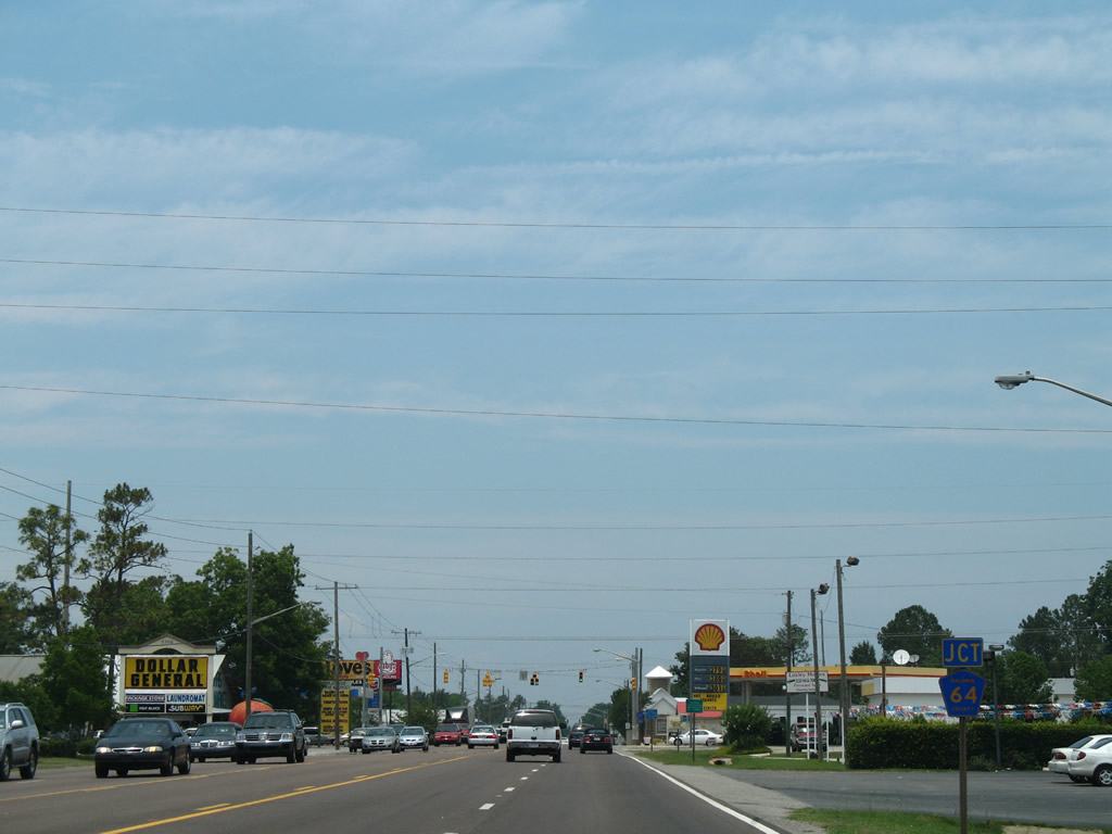
| U.S. 90 resumes a westward course from Loxley to Malbis and Daphne, paralleling Interstate 10 to the south. SR 59 continues Gulf Shores Parkway north to I-10 at Exit 44 and the county seat of Bay Minette. CR 68 ties into the route partition from the east. 03/08/09 |
|
| Leaving Loxley, U.S. 90 travels an initially rural road to CR 66, midway between SR 59 and Malbis. 06/09/06 |
|
| CR 66 dead ends to the north of the Loxley Heights subdivision and heads south to link U.S. 90 with CR 64. An east-west branch of County Road 66 ties in nearby from St. Alban Avenue and the Valamour development west of Loxley. 06/09/06 |
|
| Continuing from CR 66, U.S. 90 curves northward over a 1971-bridge across the Fish River toward Plantation Hills and Malbis. 06/09/06 |
|
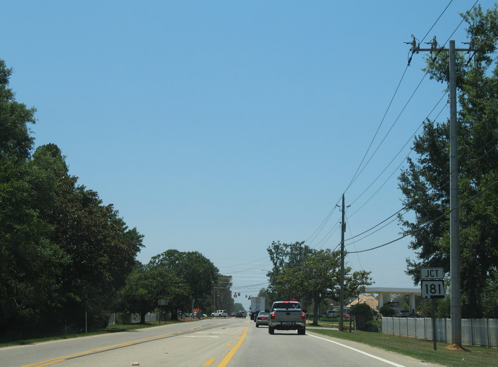
| Entering Malbis, U.S. 90 converges with SR 181 (Malbis Plantation Parkway). SR 181 constitutes a suburban arterial joining the Eastern Shore Centre area of Spanish Fort with U.S. 98 at Weeks Bay. 06/09/06 |
|
| U.S. 90 west at SR 181, pictured during 2006 construction of Eastern Shore Park and before the intersection expansion with protected turn lanes. SR 181 originally ended at U.S. 90, following Malbis Plantation Parkway northward to I-10 at Exit 38 and U.S. 31. SR 181 was extended south in 2004 when ALDOT and Baldwin County swapped mileage between then CR 27 and SR 112. 06/09/06 |
|
| Annexations from both Daphne and Spanish Fort absorbed the previously unincorporated area of Malbis. Expansion of U.S. 90 initially added a westbound lane at SR 181 for the adjacent retail area. Growth continued along the formerly rural road with business parks added westward into Daphne. 09/01/08 |
|
| U.S. 90 straddles northern reaches of the Lake Forest community of Daphne and meets the eastbound on-ramp to Interstate 10 opposite Jubilee Square shopping center. 11/30/08 |
|
| The I-10 entrance ramp to Loxley and Pensacola from U.S. 90 serves traffic interests from U.S. 98 in Daphne and U.S. 90 south from Bridgehead in Spanish Fort in addition to U.S. 90 westbound. 11/30/08 |
|
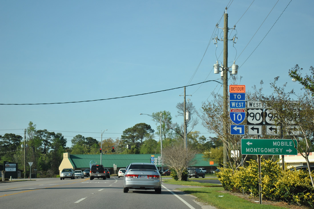
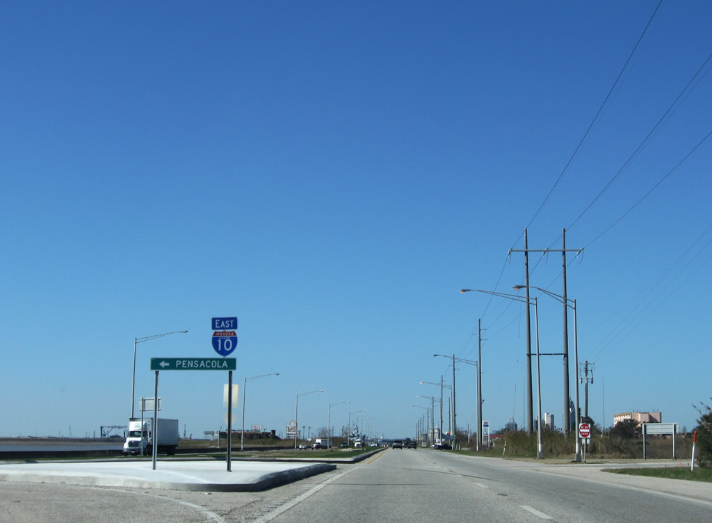
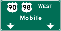
| U.S. 90 combines with U.S. 98 west 0.194 miles across Interstate 10 to Bridgehead. U.S. 98 joins Spanish Fort with Daphne and Fairhope to the south. 08/04/06 |
|
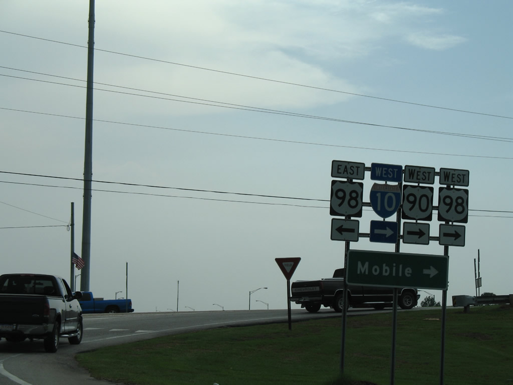
| U.S. 98 constitutes a busy arterial route south from I-10 and U.S. 98 through Fairhope. The highway turns east near rural Barnwell to Magnolia Springs, Foley, and Lillian. 08/04/06 |
|
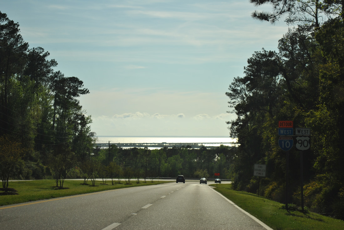
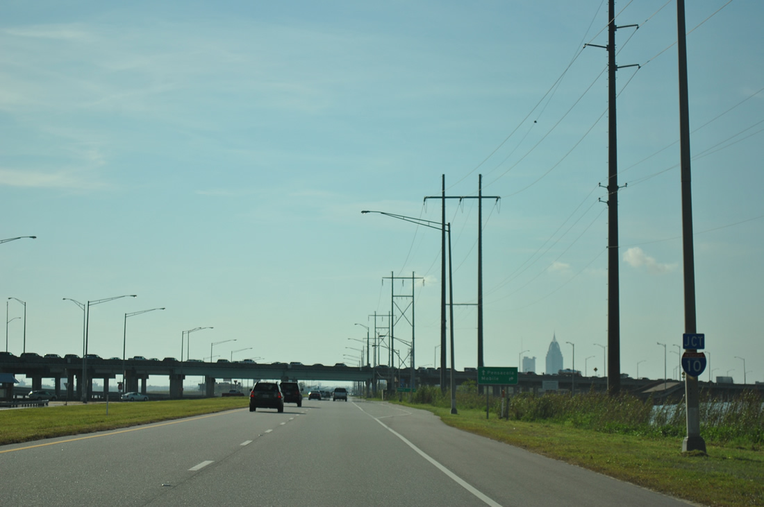
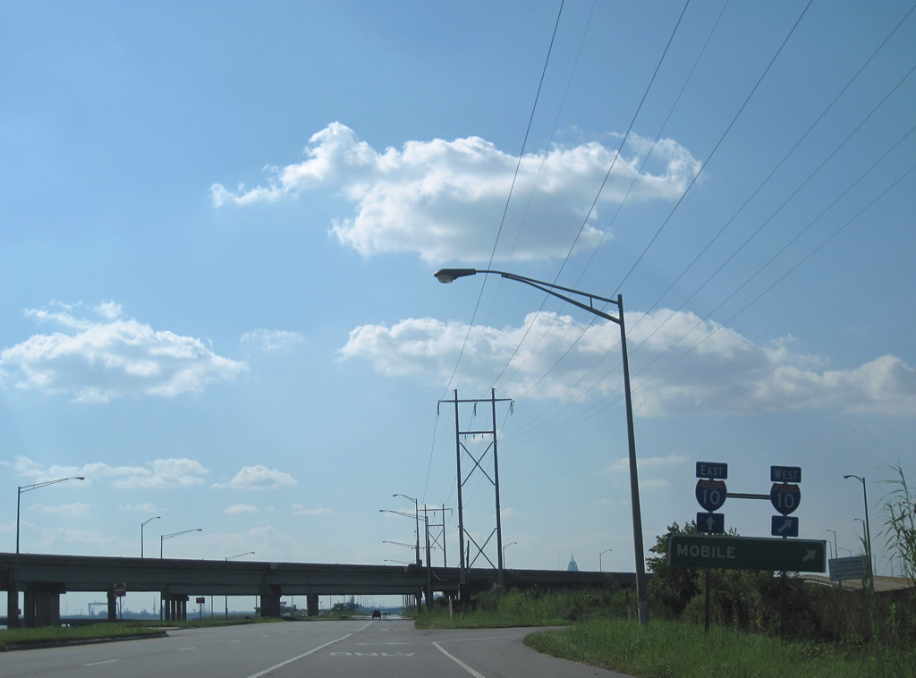
| A loop ramp joins U.S. 90/98 (Old Spanish Trail) west with I-10 across the Mobile Bayway to Mobile. 11/30/08 |
|
| The Mobile Bayway bridge system extends 7.5 miles across northern reaches of Mobile Bay to the George Wallace Tunnel ahead of Downtown Mobile. 06/07/06 |
|
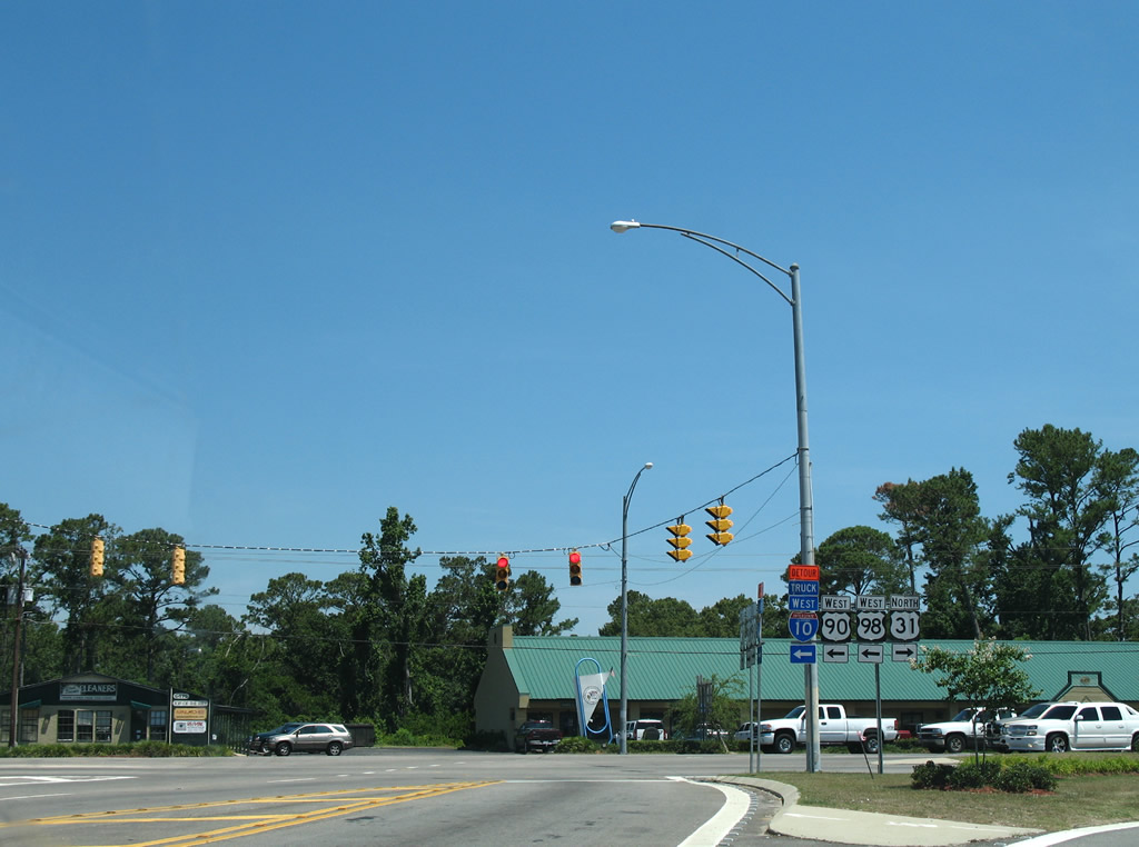
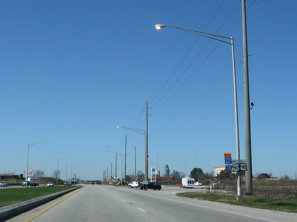
| U.S. 90 and U.S. 98 partition on the north side of I-10. U.S. 98 turns westward along Battleship Parkway for 0.763 miles while U.S. 90 (Old Spanish Trail) continues north 0.744 miles to U.S. 31. 12/20/03 |
|
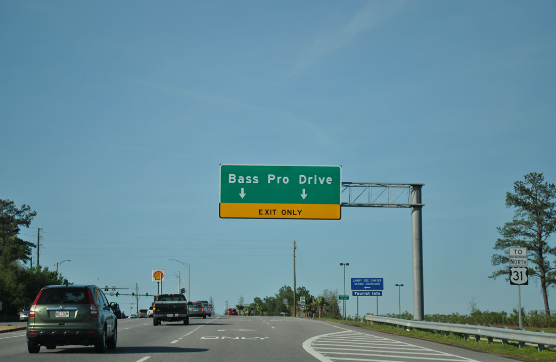
| U.S. 90 intersects Bass Pro Drive opposite the Larry Dee Carver Scenic Overlook and tourist information center just beyond U.S. 98 (Battleship Parkway). The Spanish Fort Town Center development was constructed along the east side of U.S. 90 in the mid-2000s. 03/18/12 |
|
| The second signalized intersection for Spanish Fort Town Center connects U.S. 90 with Town Center Avenue east. Spanish Fort Town Center houses a number of big box stores, a hotel and an apartment complex. 03/18/12 |
|
| Advancing a short distance beyond Spanish Fort Town Center, U.S. 90 (Old Spanish Trail) intersects the south end of U.S. 31 (Spanish Fort Boulevard). U.S. 31 leads east through Spanish Fort, then turns north to combine with SR 59 (Gulf Shores Parkway) to Bay Minette. 03/18/12 |
|
| U.S. 31 generally serves local traffic through Spanish Fort and throughout Baldwin County. Heading north to Montgomery and Birmingham, U.S. 31 parallels the I-65 corridor. The overall route travels 1,280 miles to Mackinaw City, Michigan. 06/06/06 |
|
| U.S. 90 overtakes Spanish Fort Boulevard west from U.S. 31 to a wye interchange with U.S. 98 (Battleship Parkway) at the Shellbank River. 03/18/12 |
|
| U.S. 90/98 combine ahead of the Blakeley River on Battleship Parkway west. 03/18/12 |
|
| Meaher State Park lies along the south side of Battleship Parkway between the Blakeley and Apalachee Rivers opposite Five Rivers Boulevard. 11/22/06 |
|
| Spanning the Apalachee River across a 1978-built bridge on U.S. 90/98 (Battleship Parkway) west. 11/22/06 |
|
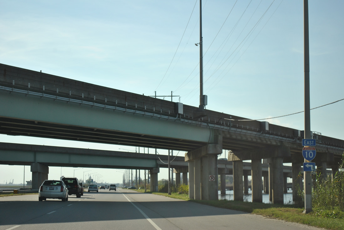
| Still within the city limits of Spanish Fort, Battleship Causeway progresses west between Chacaloochee and Mobile Bays to a diamond interchange (Exit 30) with Interstate 10. 03/18/12 |
|
| The exchange with I-10 lies 3.8 miles west of the U.S. 90/98 merge at Spanish Fort. The Mobile Bayway shifts sides with Battleship Parkway, staying north of the causeway to their next meeting. 09/12/10 |
|
| The entrance ramp for I-10 east serves commuter traffic from U.S. 90 and the Cochrane-Africatown Bridge. Areas along both sides of the causeway by I-10 are popular fishing spots for locals. 03/18/12 |
|
| Westbound U.S. 90/98 at the return ramp to Interstate 10 east to Daphne and Spanish Fort. 01/16/09 |
|
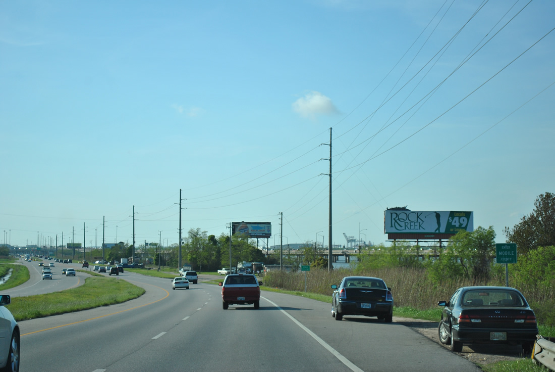
| Several seafood restaurants, fish camps and two boat ramps line Battleship Parkway between I-10 and the Tensaw River. 01/16/09 |
|
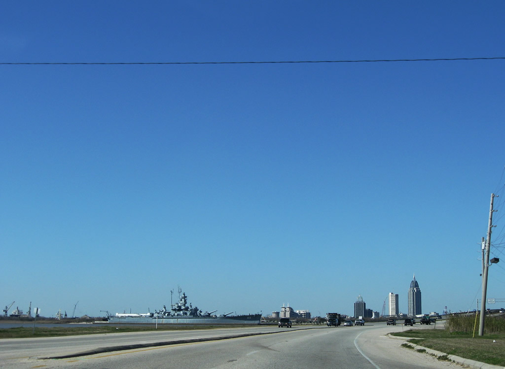
| Battleship Parkway is named after the USS Alabama, which is moored at Battleship Memorial Park on the south end of Blakeley Island. 01/16/09 |
|
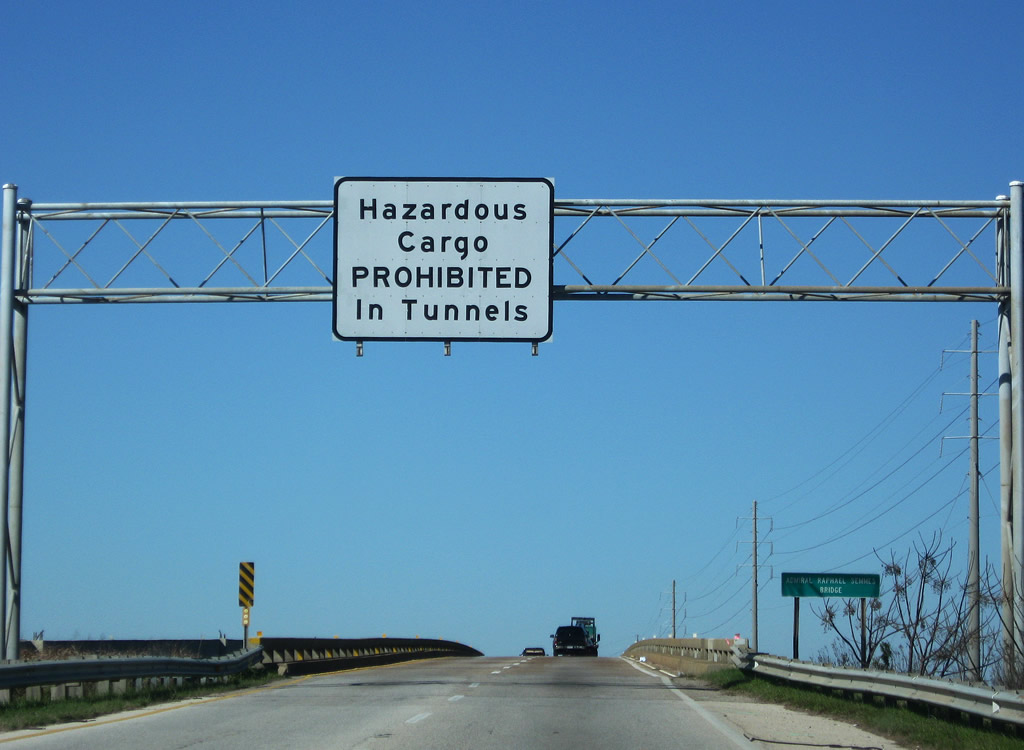
| U.S. 90/98 (Battleship Parkway) cross the Tensaw River on the Admiral Raphael Semmes Bridge. The westbound span opened in 1965; the eastbound replacement was completed in 1998. A warning sign here advises truckers of the hazmat restrictions for the upcoming George Wallace and Bankhead Tunnels. 01/16/09 |
|
| The Mobile County line straddles the mid point of the Tensaw River. The county line turns northwest along the Spanish River at Delvam Bay north of Interstate 10. 03/18/12 |
Page Updated 10-01-2012.


 West
West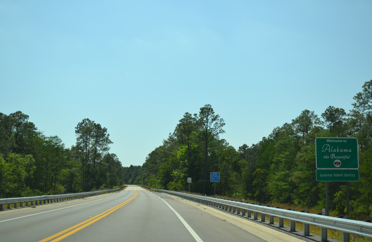

 North
North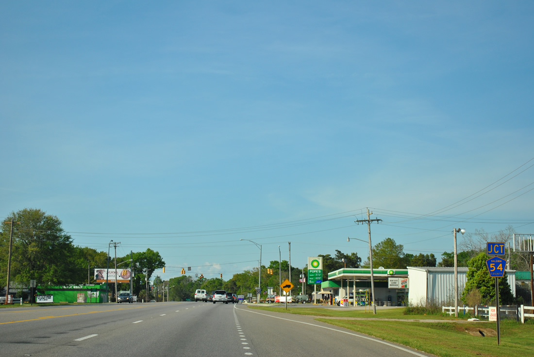


 West
West