|
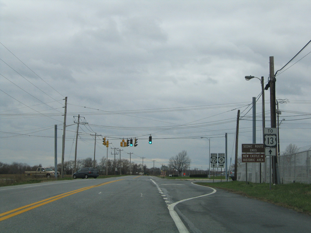
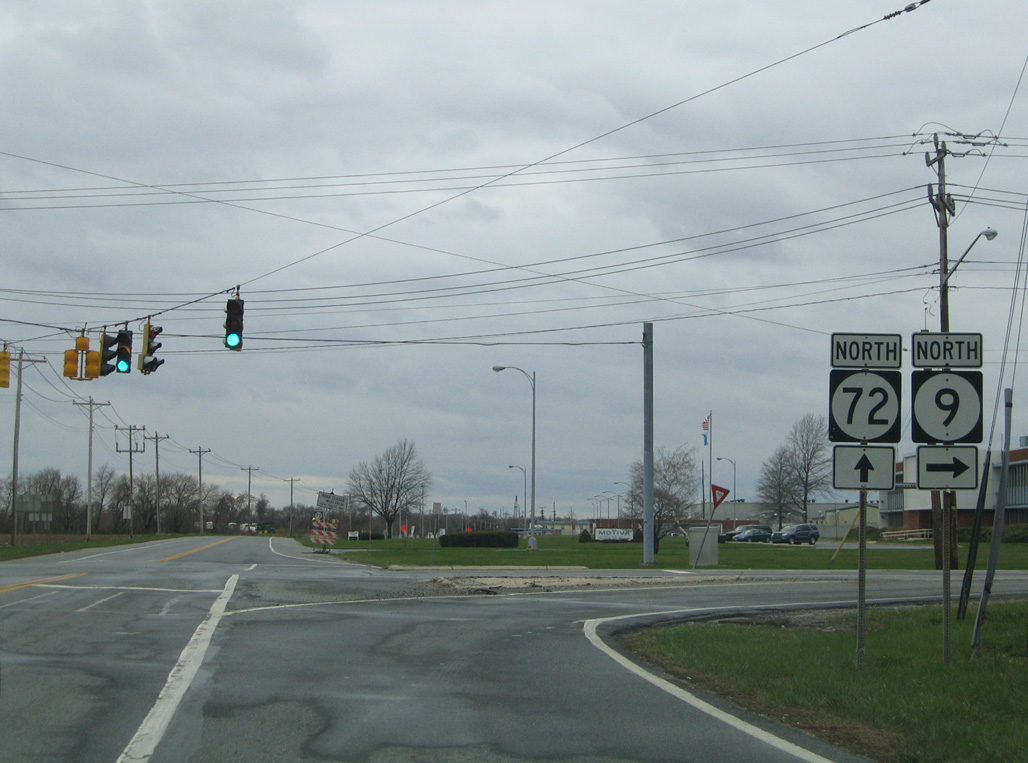
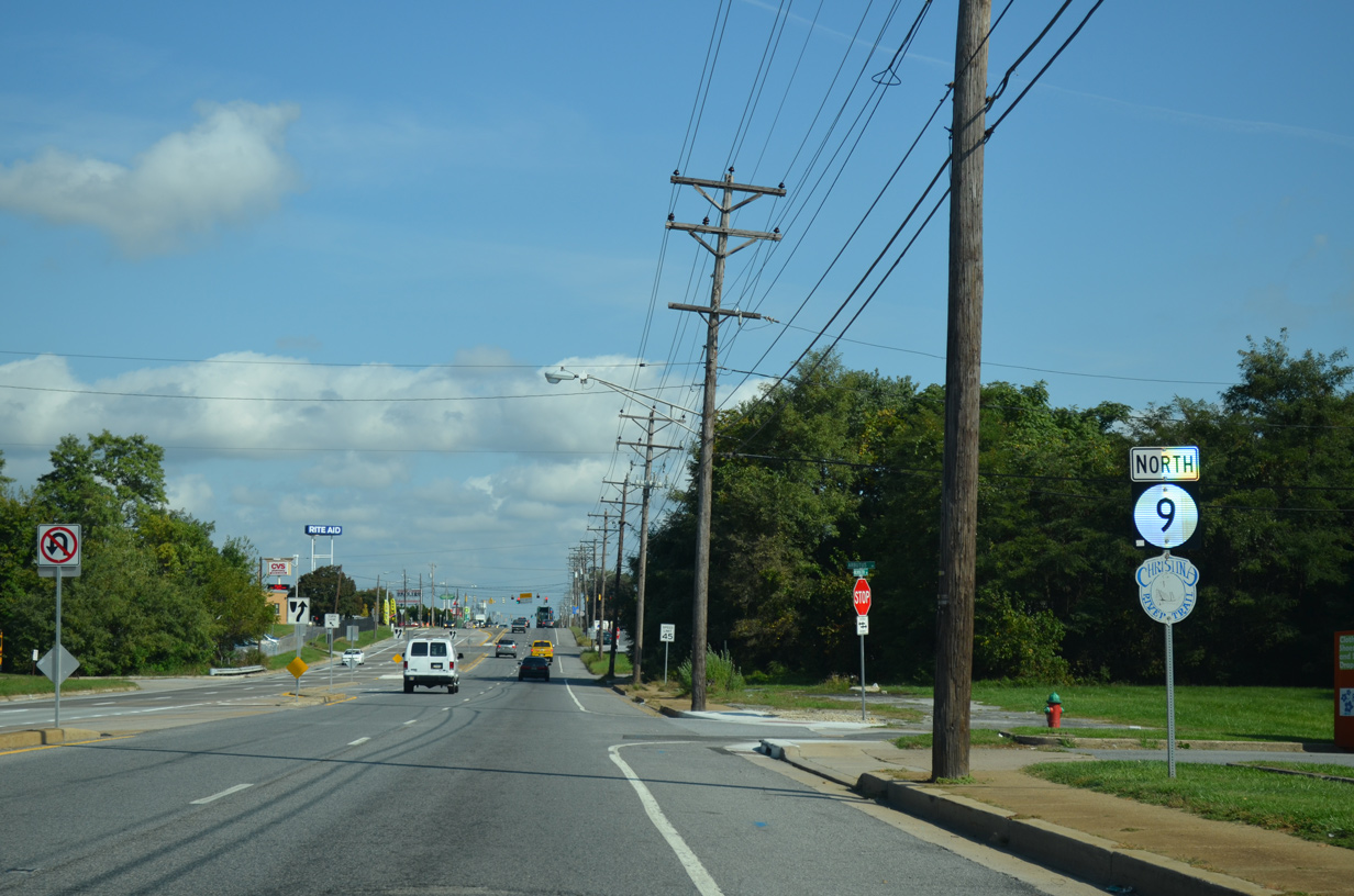
| SR 9 curves west to the Delaware City refineries to meet Wrangle Hill Road (SR 72) west, Clarks Corner Road south and River Road north. 04/04/04 |
|
| SR 9 turns north onto River Road as SR 72 begins and leads motorists westward to U.S. 13 and the SR 1 freeway at Wrangle Hill. 04/04/04 |
|
| Clarks Corner Road angles southwest to Main Street in North St. Georges while SR 72 commences a 17.5 mile route northwest toward Glasgow, Bear and the Upper Pike Creek Valley. 04/04/04 |
|
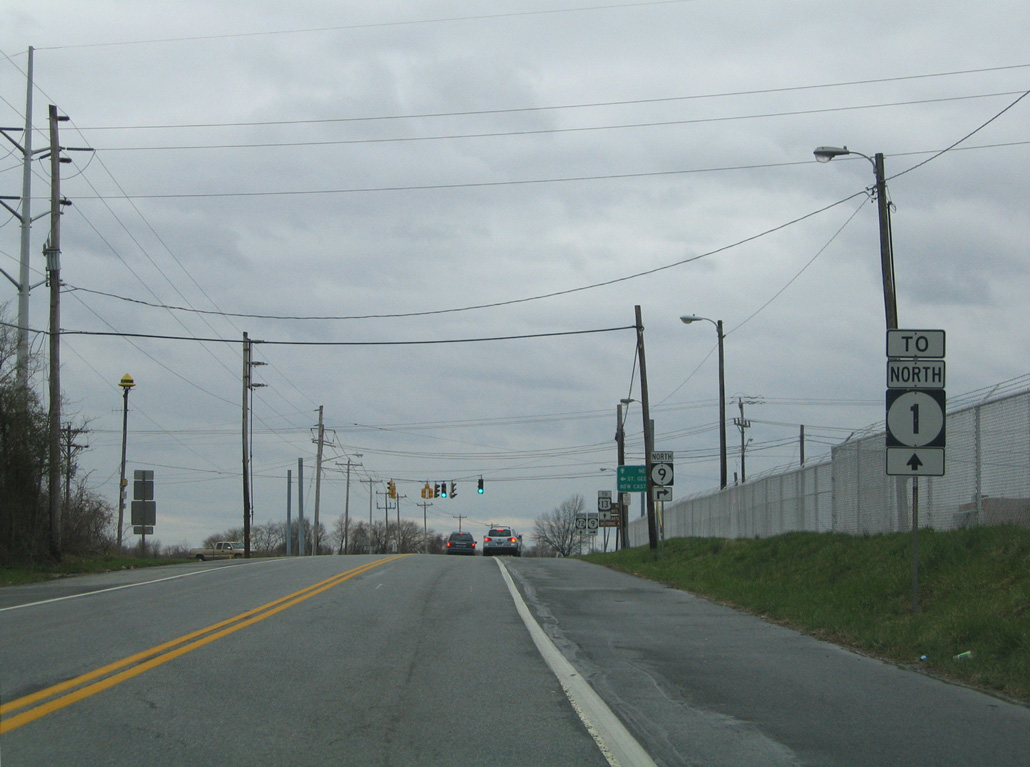
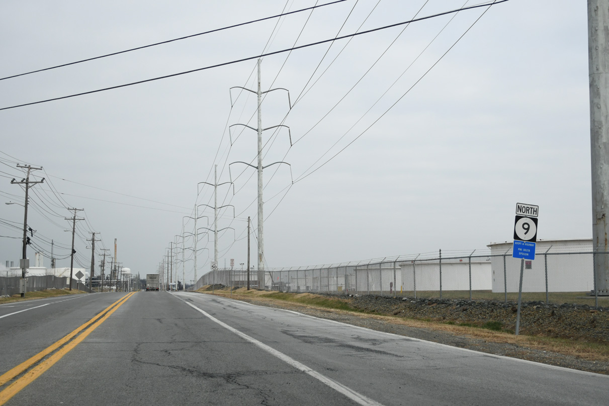
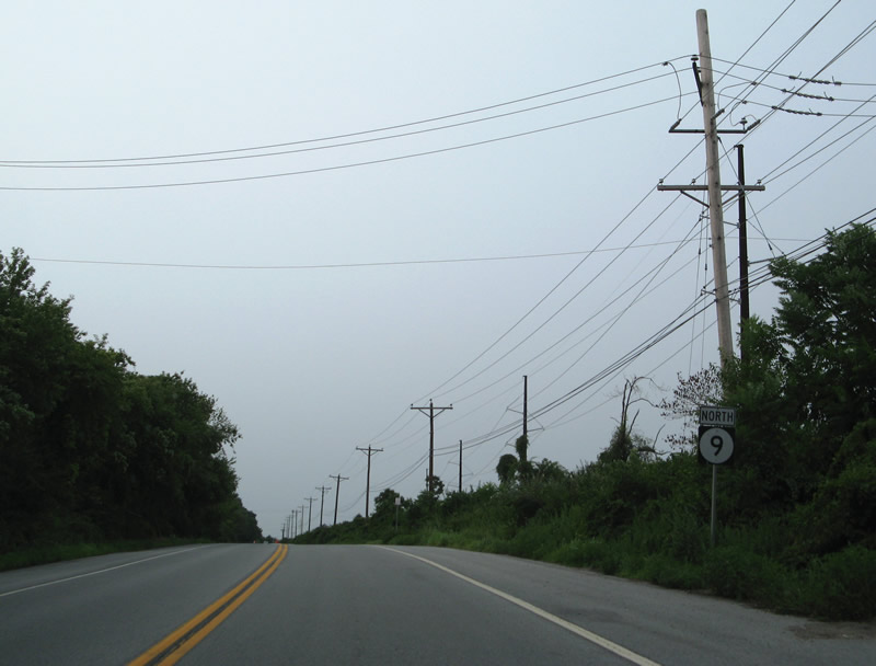
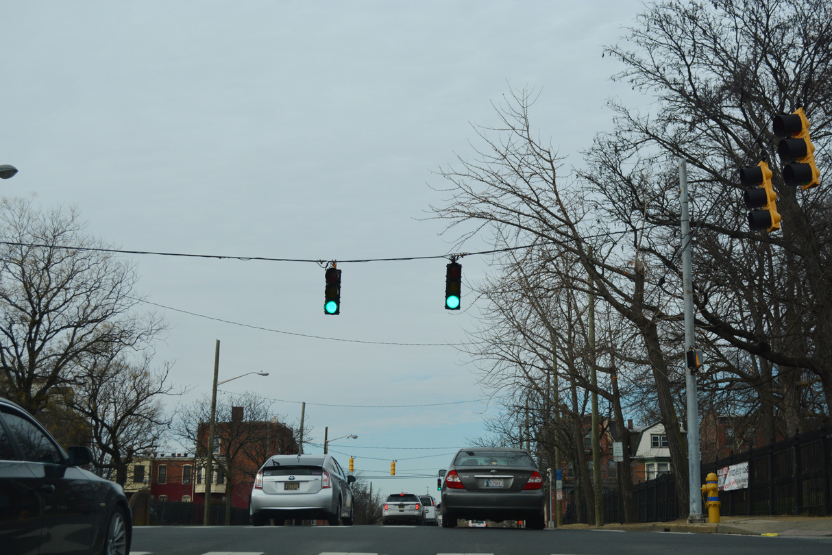
| SR 9 (River Road) cuts across the Delaware City refinery area north from Wrangle Hill Road to Red Lion Creek. 08/05/07 |
|
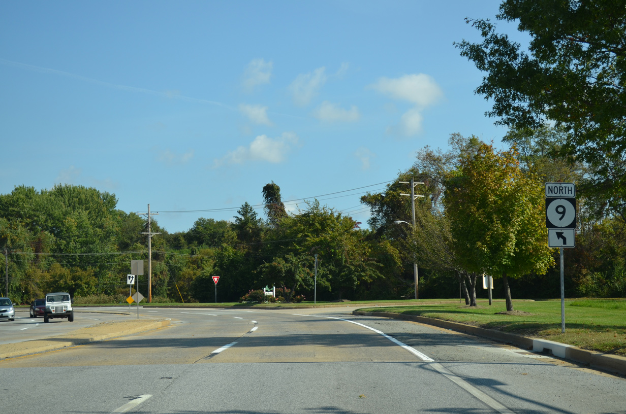
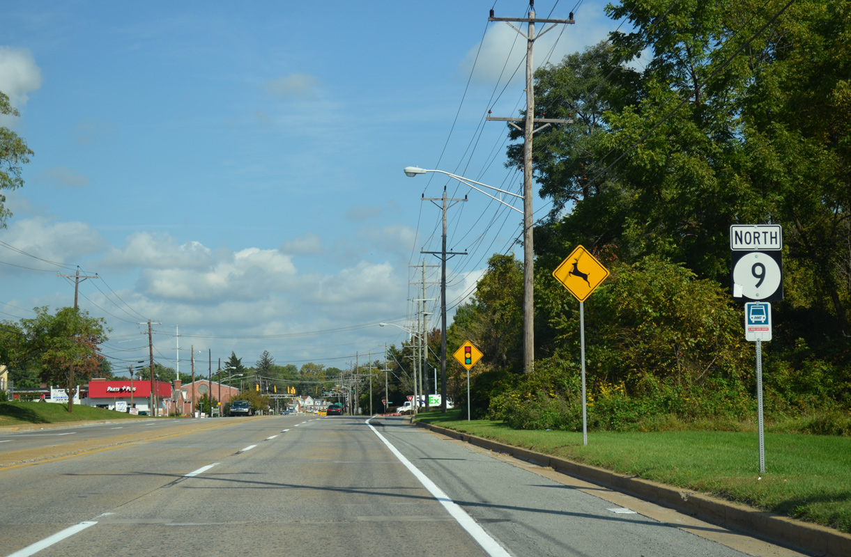
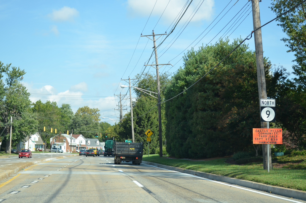
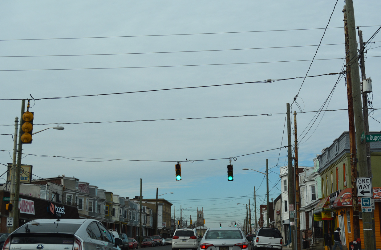
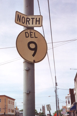
| A SR 9 reassurance marker appears alongside River Road north of Red Lion Creek. 08/05/07 |
|
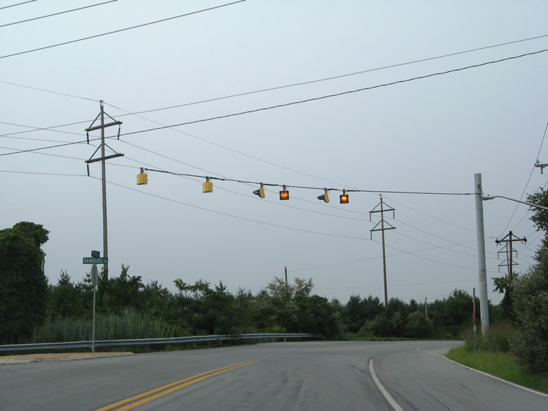
| Hamburg Road links SR 9 (River Road) with U.S. 13 (Dupont Highway) at Tybouts Corner. Trucks headed north to New Castle are advised to use Hamburg Road west and Dupont Highway north in lieu of the ensuing stretch of SR 9. 08/05/07 |
|
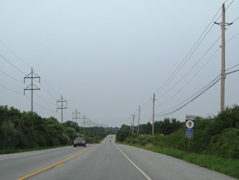
| River Road turns more easterly from Hamburg Road between a quarry and the Delaware River at Hamburg Cove. 08/05/07 |
|
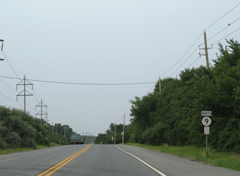
| Federal School Lane connects SR 9 (River Road) with U.S. 13 (Dupont Highway) by the Buena Vista State Conference Center. The state route continues by Kirkwood Soccer Complex and Ommelanden Park. 08/05/07 |
|
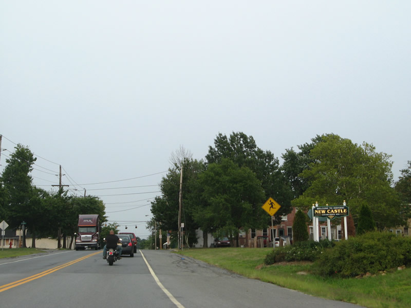
| Welcome to New Castle sign posted ahead of Clymer Street. Drivers along SR 9 north enter the historic city at the crossing of Army Creek. 08/05/07 |
|
| SR 9 turns northwest along Washington Avenue as part of its bypass of New Castle. The former alignment lined Seventh Street, South Street and Sixth Street to the historic district. 08/05/07 |
|
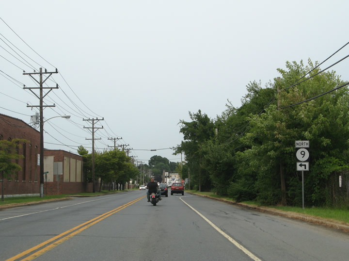
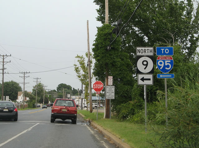
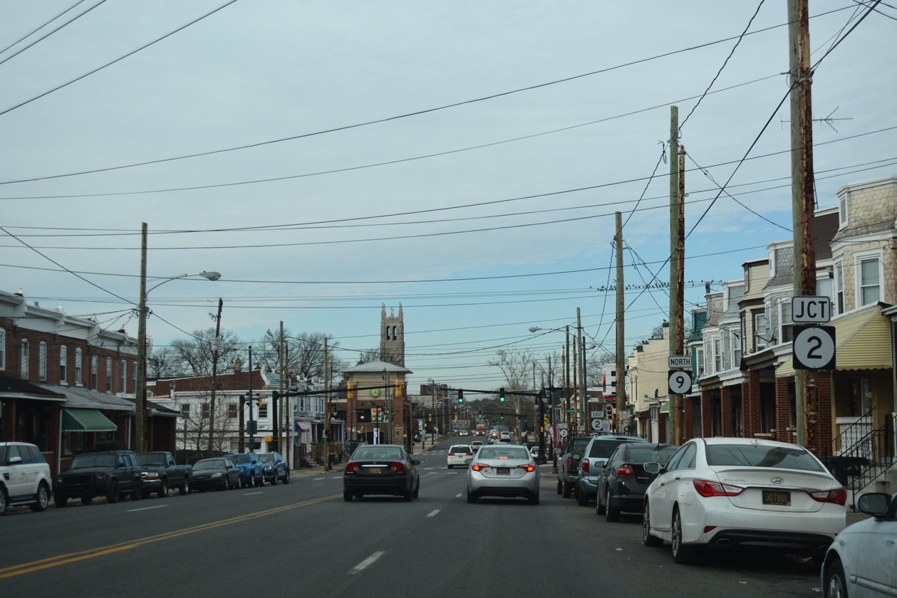
| Washington Avenue takes SR 9, 0.57 miles north to SR 141 (Basin Road) and SR 273 (Frenchtown Road). SR 141 provides a direct route from New Castle to Interstate 95 near Newport. 08/05/07 |
|
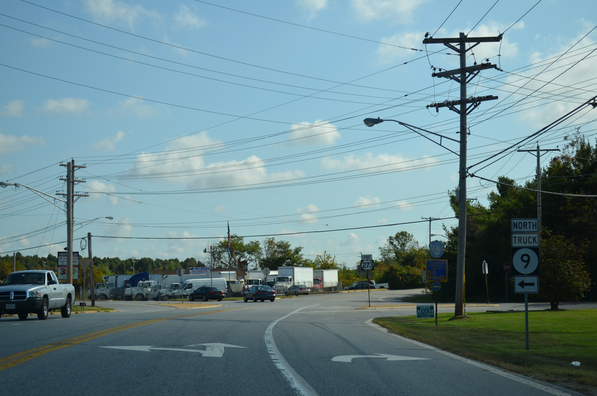
| Delaware Street leads SR 9 east from Washington Avenue the joint termini of SR 141 and SR 273 along the north side of the New Castle street grid. SR 273 used to run alongside SR 9 east to Sixth Street. Most signs for the overlap were removed by 2014. 12/20/16 |
|
| Chestnut Street curves SR 9 east from Delaware Street to Sixth Street at River Plaza Shopping Center. Delaware Street spurs southeast to Battery Park along the Delaware River. 10/03/14 |
|
| SR 9 rejoins its pre-1987 alignment through New Castle at Chestnut and Sixth Streets. 10/03/14 |
|
| Chestnut Street extends southeast from SR 9 and Sixth Street to Battery Park and the historic ferry landing taking U.S. 40 across the Delaware River to Pennsville, New Jersey. 10/03/14 |
|
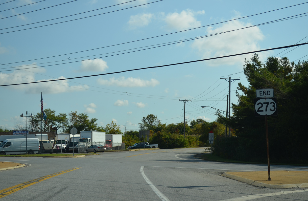
| An end shield for SR 273 remains posted through 2016. The SR 9 and 273 overlap was created by 1987, but was overall redundant. 10/03/14 |
|
| SR 9 (Sixth Street) crosses Narrow Dyke Canal and expands into a four lane arterial. Third Street merges with the state route as it turns northward onto Wilmington Road. 10/03/14 |
|
| Wilmington Road runs through an industrial area to an at-grade crossing with the Norfolk Southern Railroad. 10/03/14 |
|
| Anchor Mill Road spurs east from this traffic light along SR 9 (Wilmington Road) at Municipal Lane to Twin Spans Business Park. 10/03/14 |
|
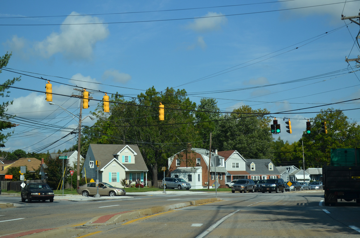
| Beyond the NS line, SR 9 (Wilmington Road) approaches Moores Lane at the Baldton and New Castle Manor communities. 10/03/14 |
|
| Moores Lane branches west from SR 9 (Wilmington Road) to Boulden Interchange Park, Boulevard Boulevard west to U.S. 13/40 (Dupont Highway) and Southgate Industrial Center. 10/03/14 |
|
| Buttonwood Avenue west and Castle Hill Drive converge at a stoplight with SR 9 (Wilmington Road) from the respective Buttonwoods and Castle Hills neighborhoods. 10/03/14 |
|
| SR 9 leaves the New Castle city limits and becomes New Castle Avenue beyond Arbutus Avenue. 10/03/14 |
|
| Landers Lane angles northwest from SR 9 (New Castle Avenue) to the Swanwyck Gardens and Landers Park communities south of Interstate 295. Riverview Drive and Killoran Drive, a north side frontage road, tie into the intersection with SR 9 from the Collins Park community to the east. 10/03/14 |
|
| Stamm Boulevard follows at the succeeding northbound signal to connect SR 9 with Crossroads Shopping Center and Swanwyck Estates. 10/03/14 |
|
| Rodney Drive loops north from Riverview Drive through Collins Park to intersect SR 9 next. The adjacent subdivision dates back to 1948. 10/03/14 |
|
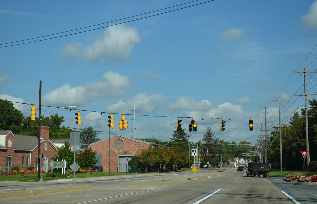
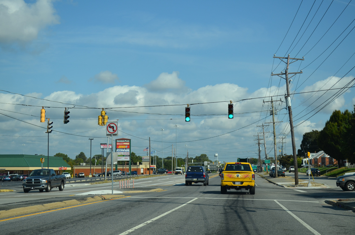
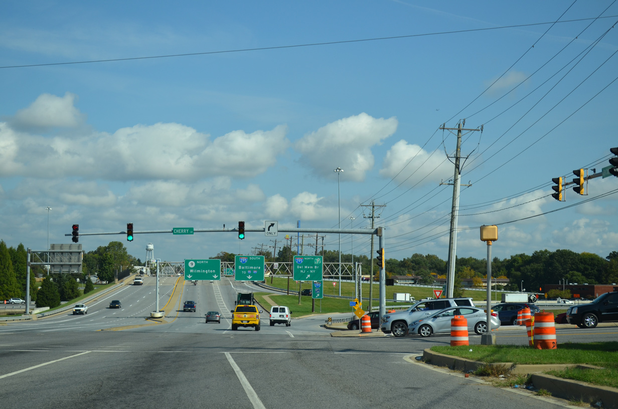
| Cherry Lane stems east from SR 9 (New Castle Avenue) and the I-295 northbound off-ramp to the Delaware War Memorial and Riveredge Industrial Park. Mast arm traffic signals replaced a span wire assembly here between 2000 and 2004. 10/03/14 |
|
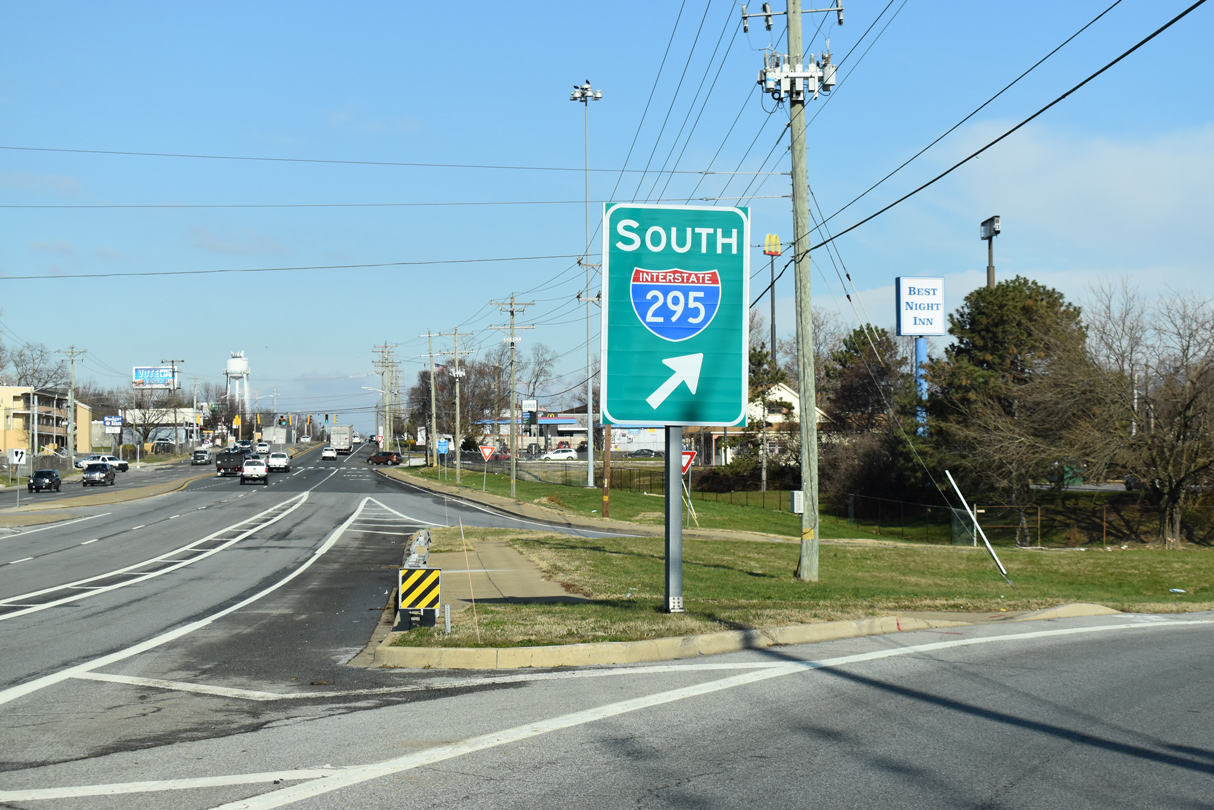
| New Castle Avenue enters a full cloverleaf interchange with Interstate 295 & U.S. 40. The exchange was reconstructed between 1998-2000 with a new bridge deck, pavement and overhead signs. 10/03/14 |
|
| A collector distributor roadway runs along SR 9 north for the I-295 ramps and the access road to the Delaware River and Bay Authority Administrative (DRBA) offices. 10/03/14 |
|
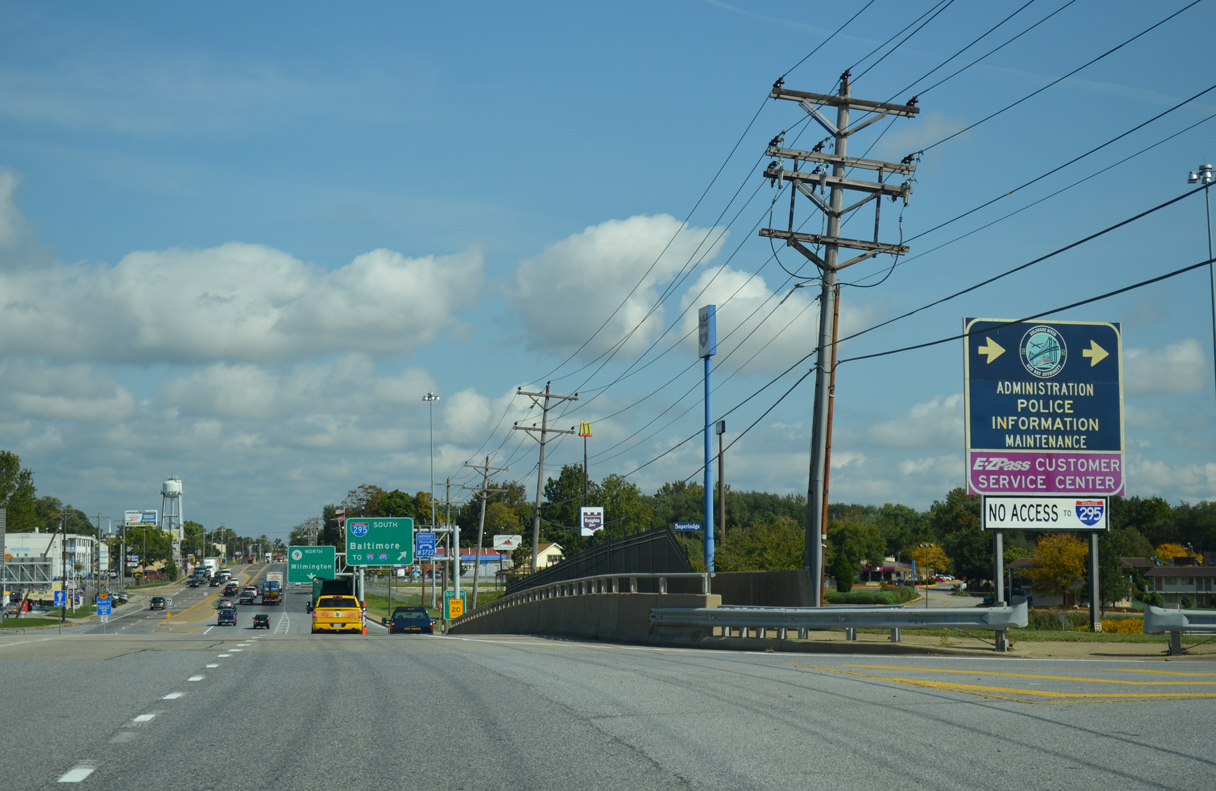
| SR 9 northbound at the loop ramp for I-295 south / U.S. 40 west. I-295 south separates with U.S. 40 west at the nearby Farnhurst interchange and merges with I-95 south in 2.5 miles. 12/22/20 |
|
| SR 9 (New Castle Avenue) leaves the exchange with I-295 and the Delaware Memorial Bridge by the older suburbs of Garfield Park and Holloway Terrace. 12/22/20 |
|
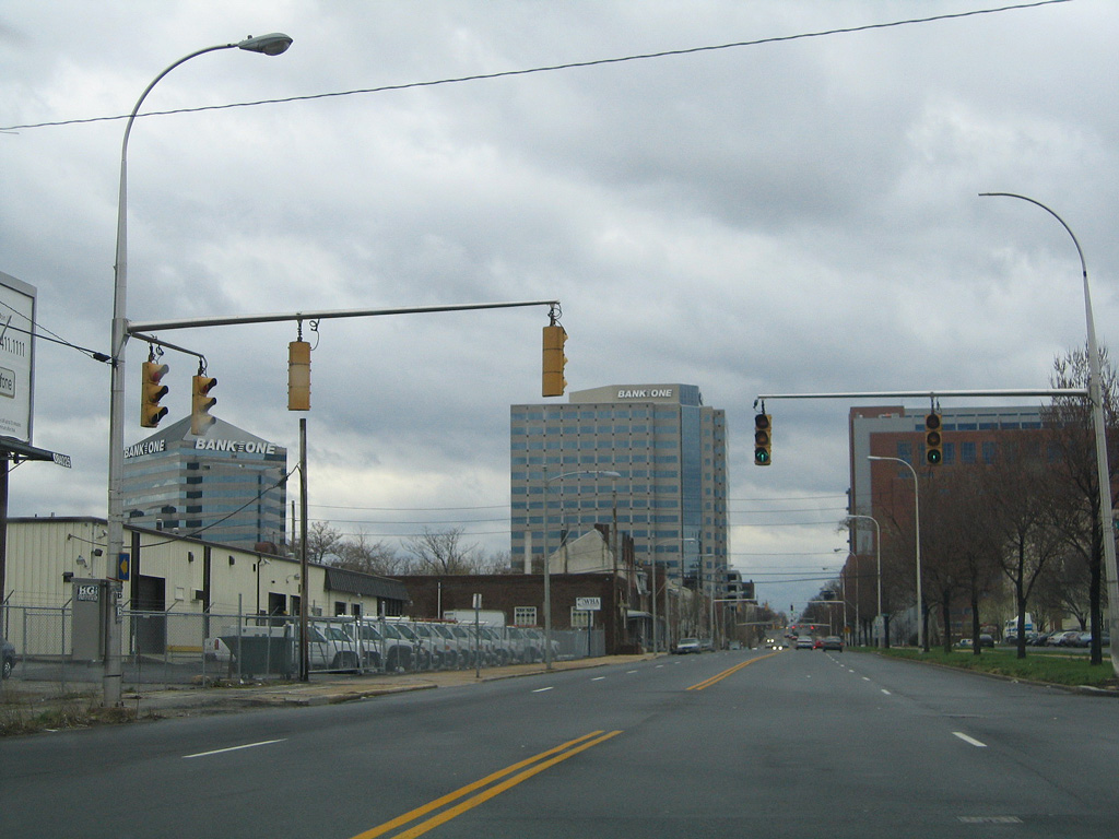
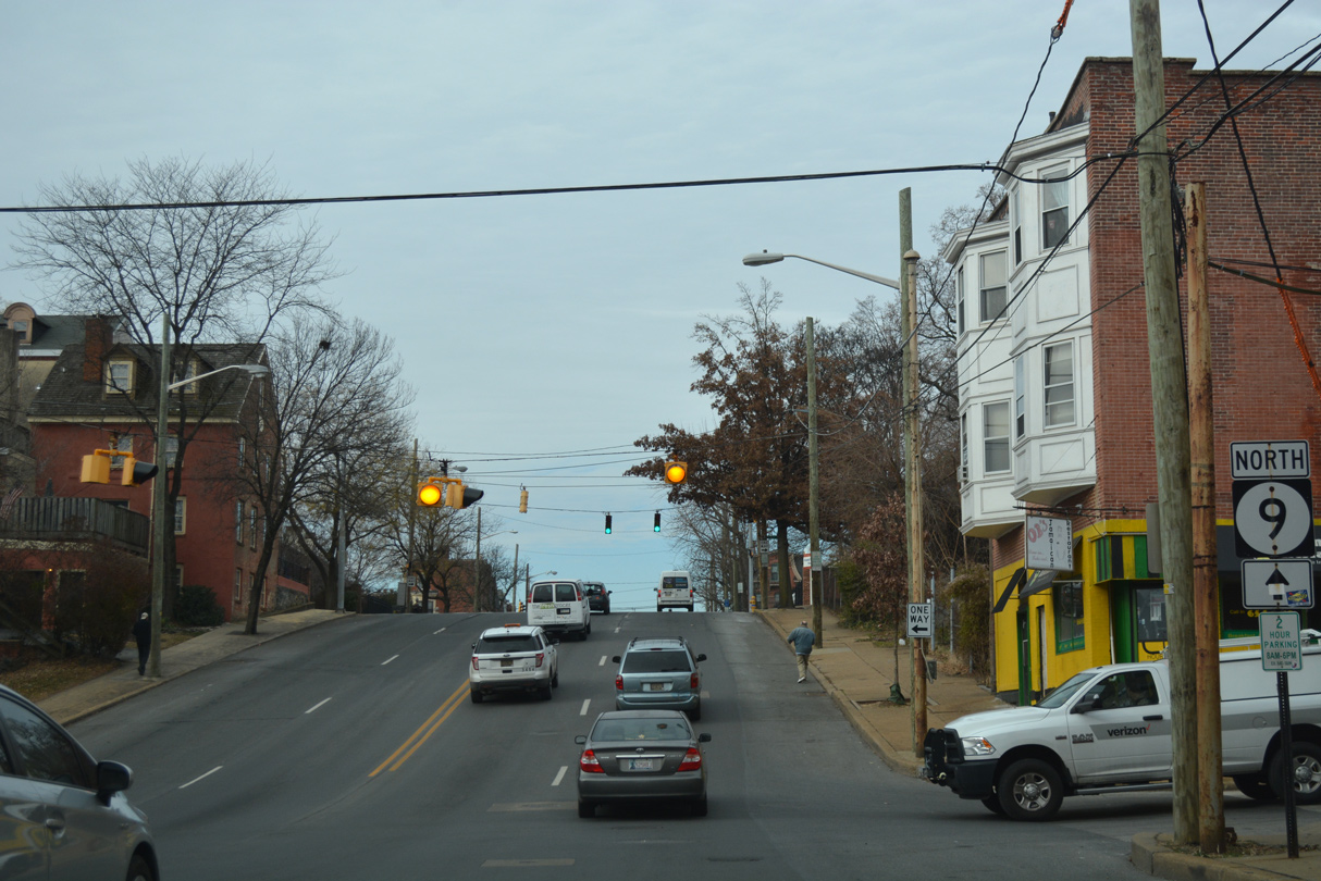
| The landscape of New Castle Avenue becomes more industrial as SR 9 lowers to intersect Rogers Road. Rogers Road provides a direct link to U.S. 13 (South Market Street) toward Downtown Wilmington. 04/04/04 |
|
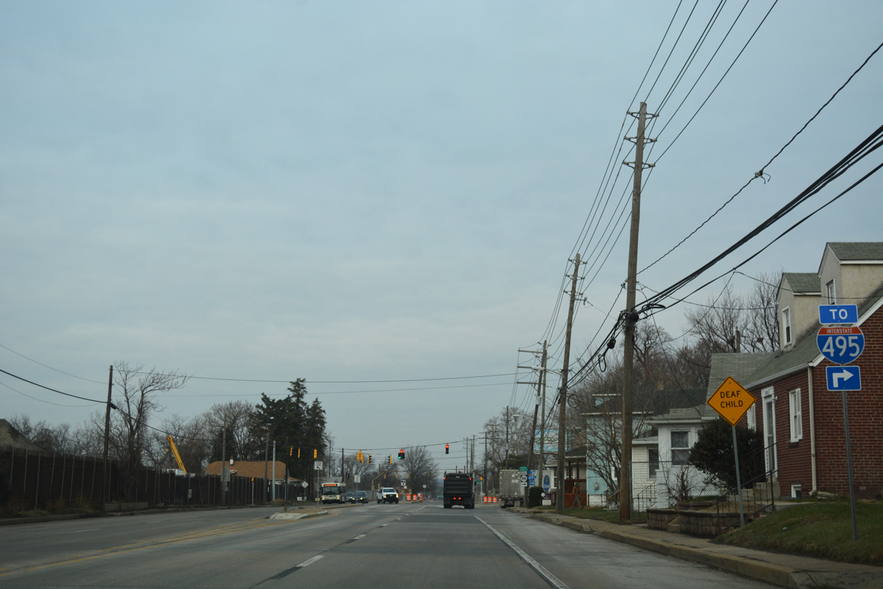
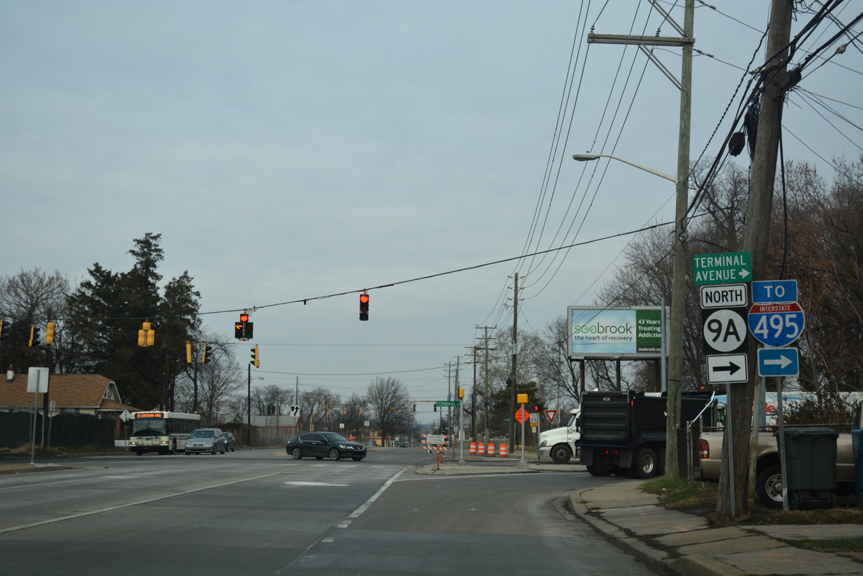
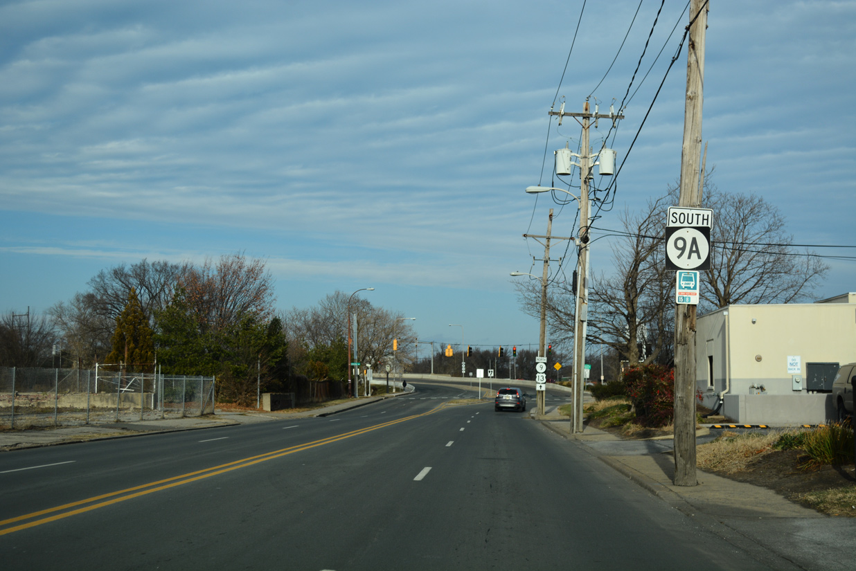
| SR 9 (New Castle Avenue) passes under Interstate 495 ahead of SR 9A (Terminal Avenue). 12/18/17 |
|
| There is no direct access between New Castle Avenue and I-495, instead motorists are directed onto Terminal Avenue to a nearby parclo interchange with the freeway. 12/18/17 |
|
| SR 9A loops east from SR 9 (New Castle Avenue) along Terminal Avenue to Interstate 495 and the Port of Wilmington, and north back to SR 9 via Christina Avenue. 12/18/17 |
|
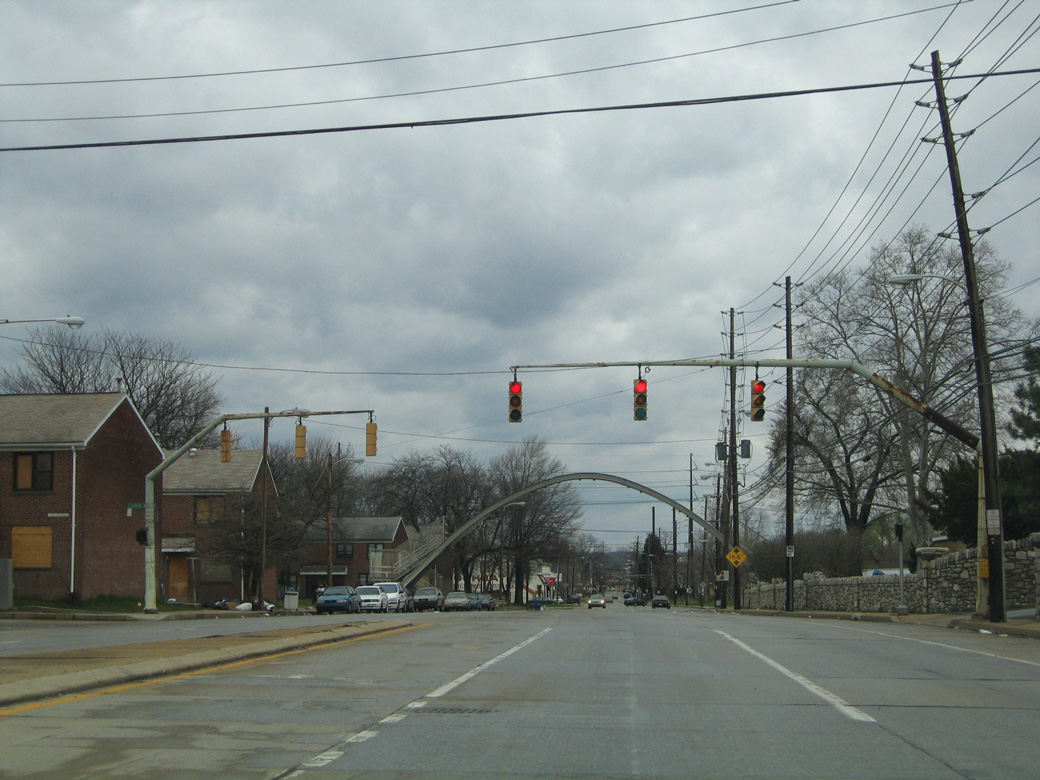
| Vintage mast arm signals along SR 9 (New Castle Avenue) at Eden Park and Claymont Street west. The remnant pedestrian bridge in the distance was eventually demolished. Structures to the west were razed as well. 04/04/04 |
|
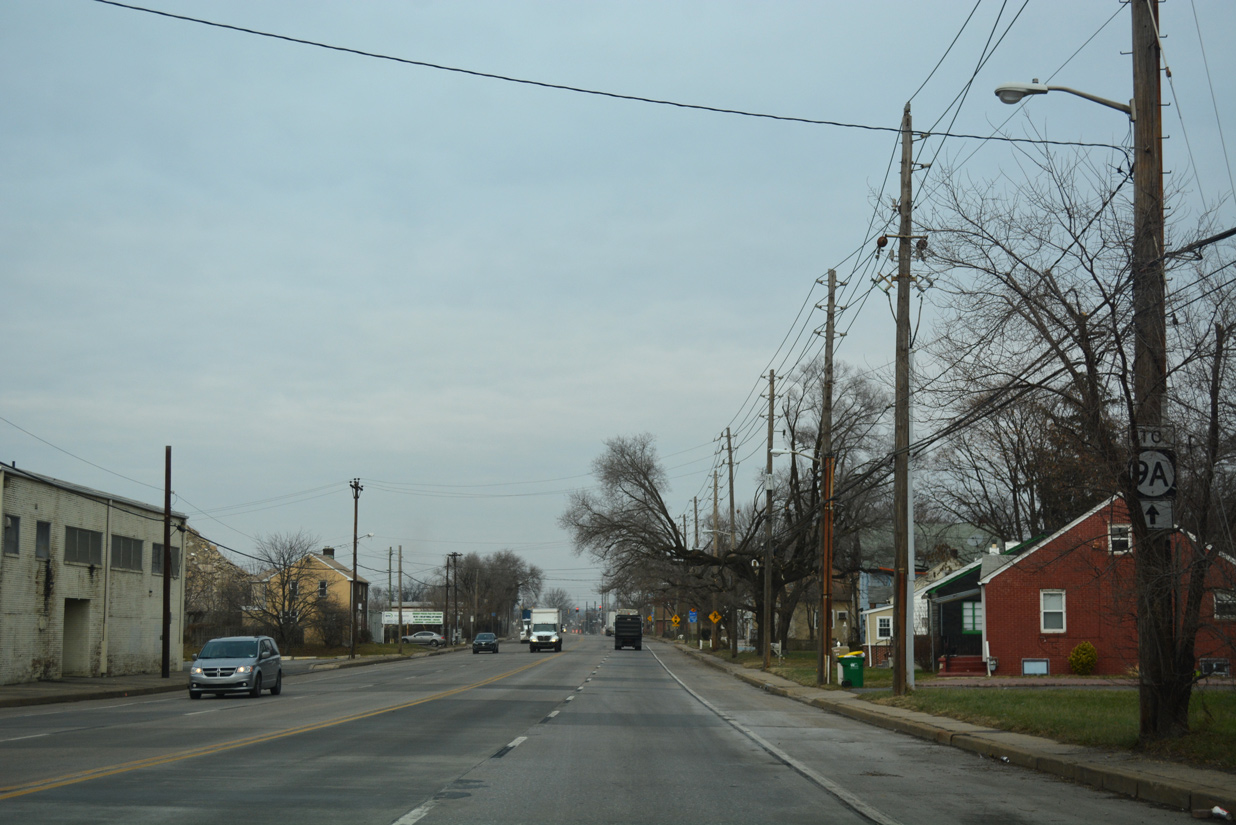
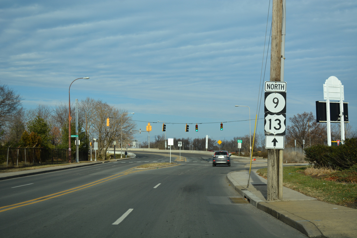
| Connecting U.S. 13/SR 9 with Market Street (U.S. 13 Business) and Christina Avenue (SR 9A), A Street provides the lone east-west through route at Southbridge. 12/20/17 |
|
| New Castle Avenue merges with Heald Street at the intersection with Lobdell Street. U.S. 13/SR 9 (Heald Street) continue north with four lanes from Southbridge to the Christina River and the East Side neighborhood. 12/20/17 |
|
| SR 9A (Christina Avenue) angles southeast from U.S. 13/SR 9 (Heald Street) at Southbridge to the Port of Wilmington and Terminal Avenue. 12/20/17 |
|
| SR 9A forms a two mile loop from SR 9 along Terminal Avenue east to I-495 and the port, and Christina Avenue northwest back to SR 9.
Historically Christina Avenue was once part of a route linking Wilmington with Penns Grove, New Jersey via a ferry crossing. Ferries operated between the two states until 1951, when the Delaware Memorial Bridge opened to traffic. Christina Avenue formerly carried SR 48 eastward from Lancaster Avenue to the ferry until that time. 12/20/17 |
|
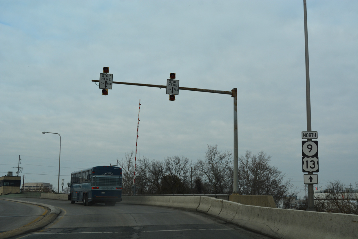
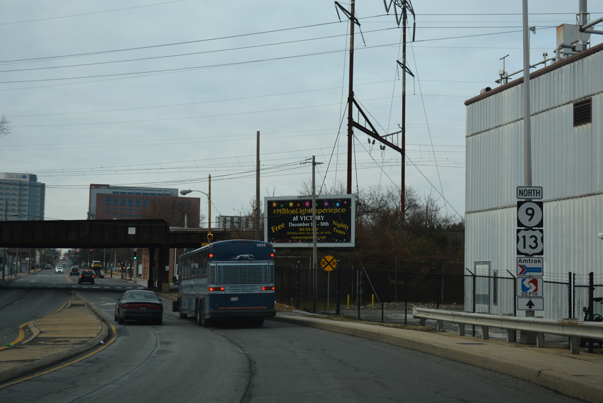
| U.S. 13/SR 9 north curve west from Heald Street across the Christina River onto 4th Street. 12/18/17 |
|
| A second set of reassurance markers for U.S. 13/SR 9 appear just ahead of their split at Church Street. 12/18/17 |
|
| U.S. 13 southbound follows Spruce Street from 11th Street to 4th Street through the East Side community.
All Eagle Flatback signals here were eventually replaced. The mast arm for SR 9 north was replaced with a span wire assembly by 2014. 04/04/04 |
|
| A SR 9 shield assembly stands along 4th Street west ahead of Lombard Street. Lombard Street flows south from the Upper East Side community to Front Street at Wilmington Industrial Park. 12/20/17 |
|
| Poplar Street is discontinuous at 4th Street. The segment south of this signal is restricted as an access road for the Wilmington Police Department. A parking lot for an adjacent apartment complex ties in from the north. 12/20/17 |
|
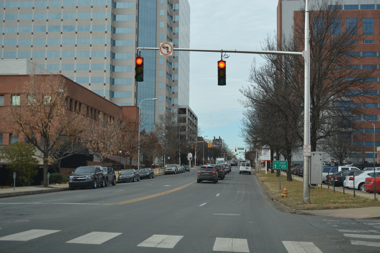
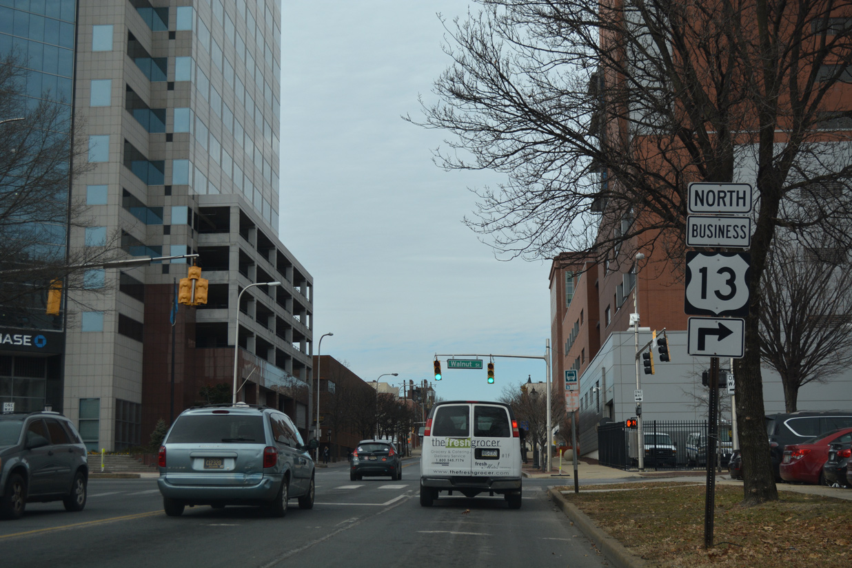
| SR 9 and U.S. 13 Business northbound converge at 4th and Walnut Streets by the New Castle County Courthouse. Walnut Street carries the bannered route north with three lanes through the central business district.
This is the only shield for U.S. 13 Business posted along Fourth Street westbound. 12/20/17 |
|
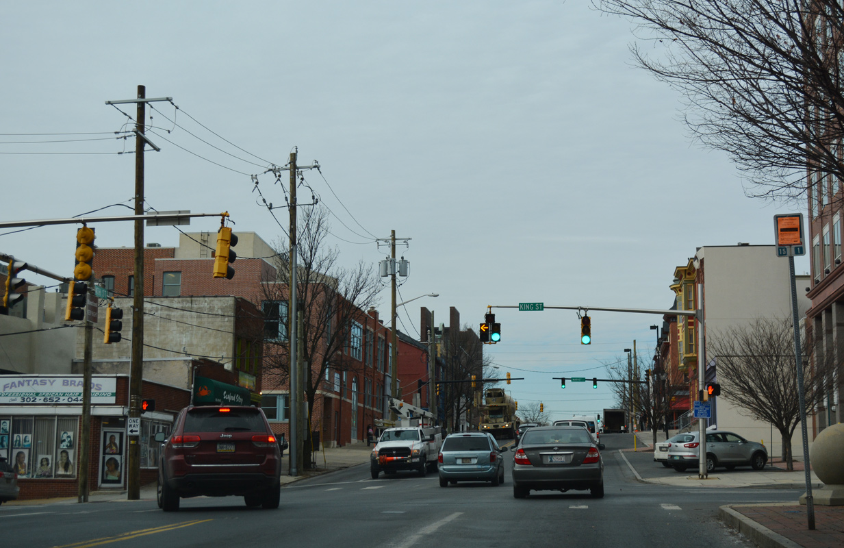
| King Street represents the southbound direction of U.S. 13 Business through Downtown and LOMA. The bannered route shifts to Market Street across the Christina River in two blocks. 12/20/17 |
|
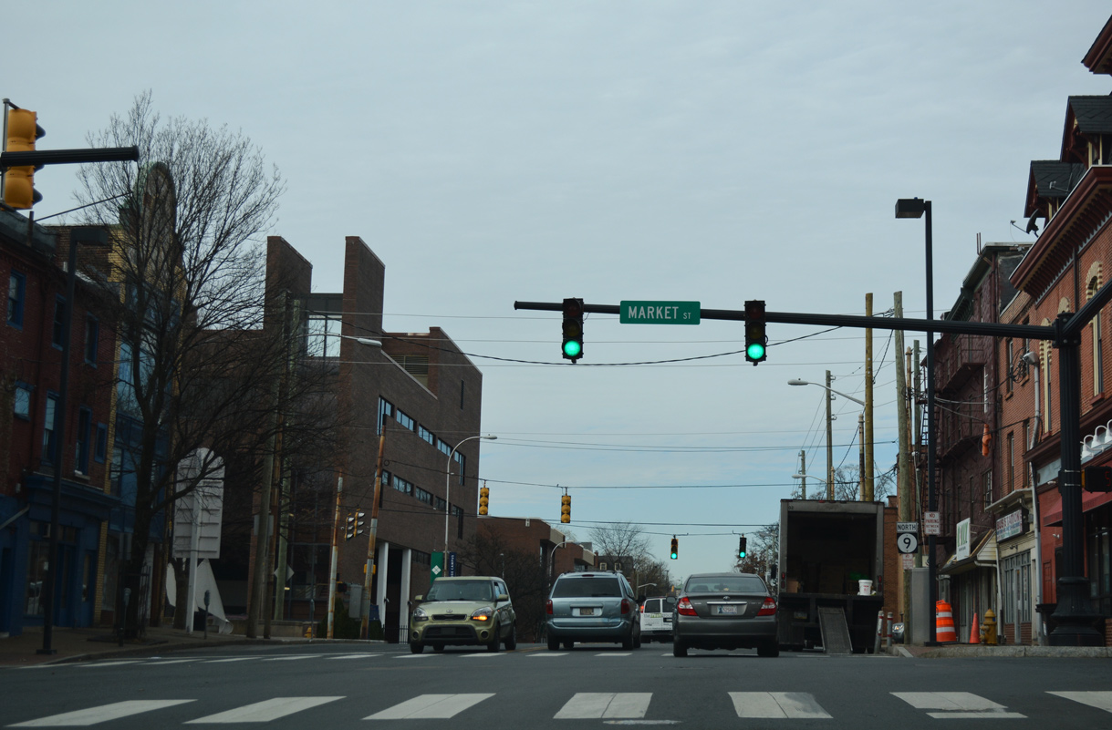
| 4th Street passes by the Delaware Supreme Court and next intersects Market Street. 12/20/17 |
|
| 4th Street west intersects Shipley Street at the Orlando J. George, Jr. (Wilmington) Campus of Delaware Technical Community College (DTCC). 12/20/17 |
|
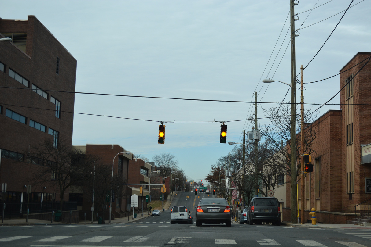
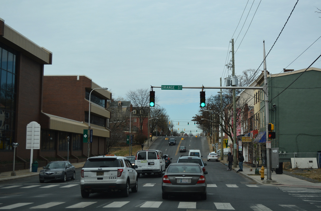
| Proceeding west through the Quaker Hill neighborhood of Wilmington, SR 9 (4th Street) undulates through intersections with Orange, Tatnall and West Streets. 12/20/17 |
|
| Washington Street flows south from Midtown Brandywine and SR 52 (11th Street) through Quaker Hill to intersects SR 9 (4th Street) ahead of an S-curve to SR 48 (2nd Street) and Justison Street. 12/20/17 |
|
| Lowering into West Center City, the Presidential street theme continues along 4th Street westbound at Jefferson Street. 12/20/17 |
|
| A reassurance marker precedes the traffic light with Madison Street northbound. 12/20/17 |
|
| Madison Street represents the east end of SR 4 two blocks to the south. Flowing north through West Center City, Madison extends to Trinity Vicinity and SR 52 (Delaware Avenue). 12/20/17 |
|
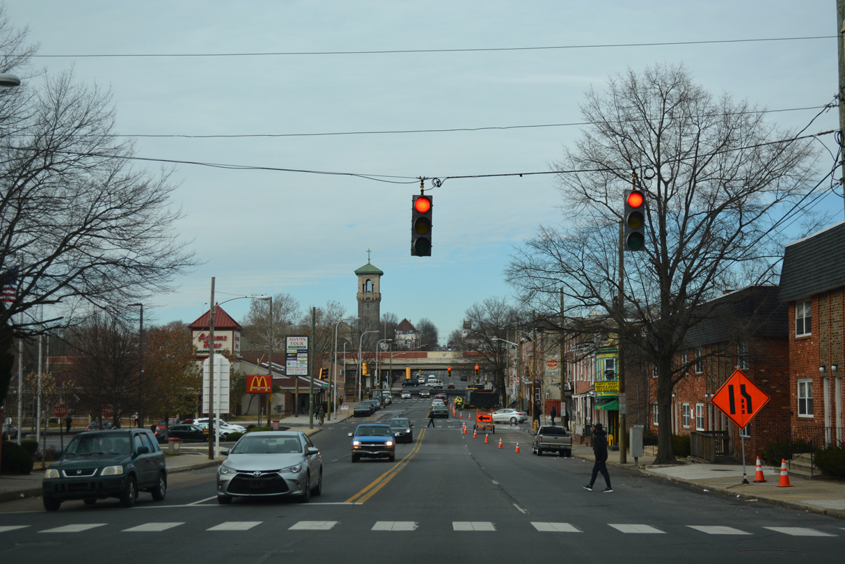
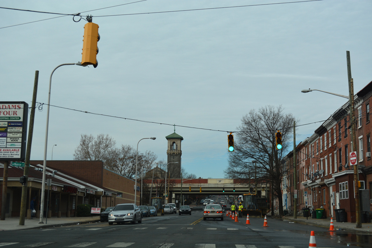
| 4th Street meets Monroe Street south at the Adams Four Shopping Center. Westbound SR 4 starts at Monroe and 2nd Streets nearby. 12/20/17 |
|
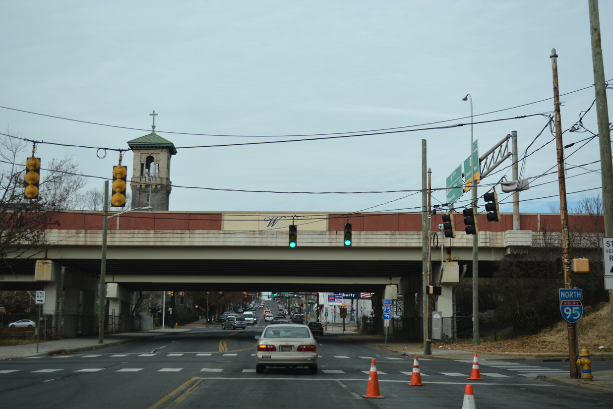
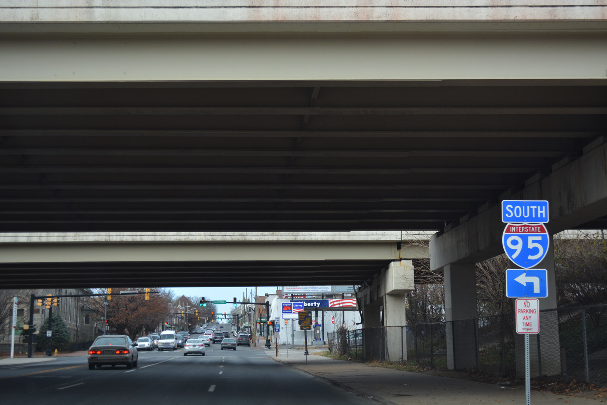
| SR 9 (4th Street) reaches Interstate 95 at the couplet of Adams and Jefferson Streets. The elevated freeway winds southward alongside the Christina Riverfront and AMTRAK corridors to the south and travels below grade through West Center City and Happy Valley to the north. 12/20/17 |
|
| The southbound on-ramp for I-95 departs from Jackson Street beyond SR 48 (Lancaster Avenue). This changes with 2021-24 reconstruction of the Wilmington Viaduct, where the ramp will be removed. Instead motorists will be directed to use an expanded entrance ramp from SR 48 (2nd Street) westbound. 12/20/17 |
|
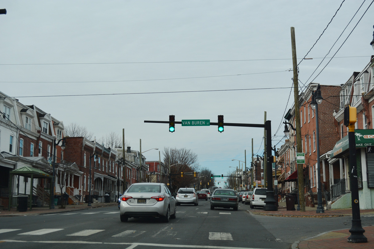
| SR 9 (Fourth Street) northbound at Van Buren Street. The city of Wilmington replaced many of the span-wire supported traffic light assemblies with decorative mast-arm fixtures during the late 1990s and early 2000s. 12/20/17 |
|
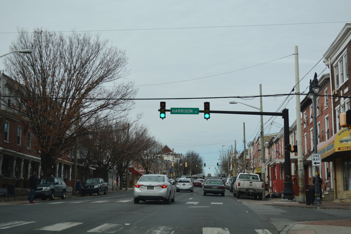
| Harrison Street flows southwest from Cool Spring Reservoir to the Hilltop and Hedgeville communities and SR 4 (Maryland Avenue) at Browntown. 12/20/17 |
|
| Fourth Street rises through the Hilltop neighborhood to next intersect Franklin Street. Franklin Street forms a one way street north from Browntown and Kosciuszko Park to Delaware Avenue. 12/20/17 |
|
| Broom Street flows south through the West Hill, Hilltop and St. Elizabeth Area communities between SR 52 (Pennsylvania Avenue) and SR 4 (Maryland Avenue). 12/20/17 |
|
| Rodney Street crosses 4th Street here with two way traffic between Bayard Square and West Hill. 12/20/17 |
|
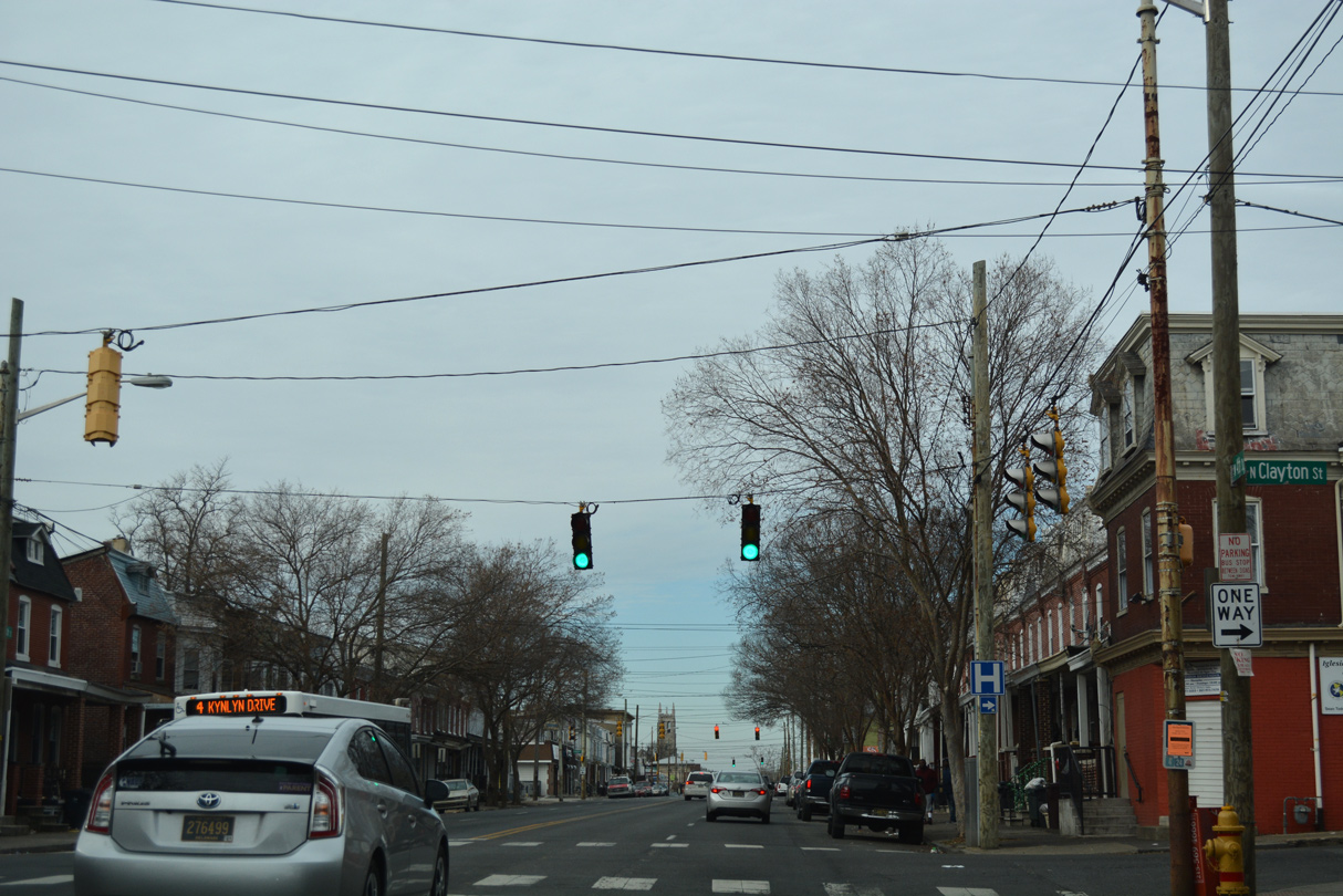
| The second to last reassurance marker for SR 9 precedes the 4th Street intersection with Clayton Street. 03/20/04 |
|
| Clayton Street leads north from SR 9 to St. Francis Hospital and West Hill. 12/20/17 |
|
| Dupont Street intersects SR 9 one block north of Clayton Street. The southbound only street begins at Lovering Avenue and Brandywine Park and ends at Oak Street and Canby Park. 12/20/17 |
|
| One of the two remaining SR 9 cutouts as of April 2004 was posted on Fourth Street northbound between Dupont and Scott Streets. This assembly was missing by 2007. 06/16/00 |
|
| With two way traffic, Scott Street runs south to Bayard Square and Canby Park and north to Little Italy and 11th Street. 12/20/17 |
|
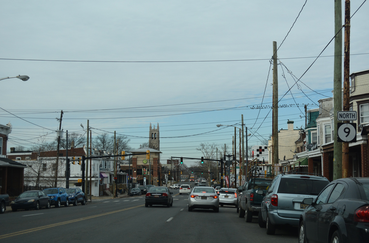
| SR 9 (4th Street) north concludes at the one way couplet of SR 2 (Lincoln Street east / Union Street west). 12/20/17 |
|
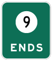
| The last confirming marker for SR 9 precedes Lincoln Street (SR 2) east into the Little Italy community. 12/20/17 |
|
| Lincoln Street leads SR 2 east nine blocks to its end at SR 52 (Pennsylvania Avenue). 12/20/17 |
|
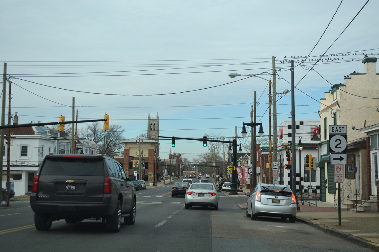
| Westbound SR 2 follows Union Street, one block to the north through the Flats and Union Park Gardens communities. 12/20/17 |
|
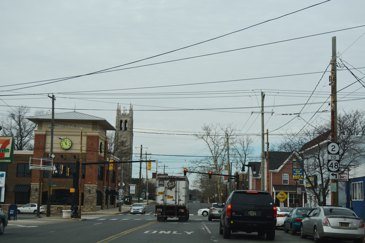
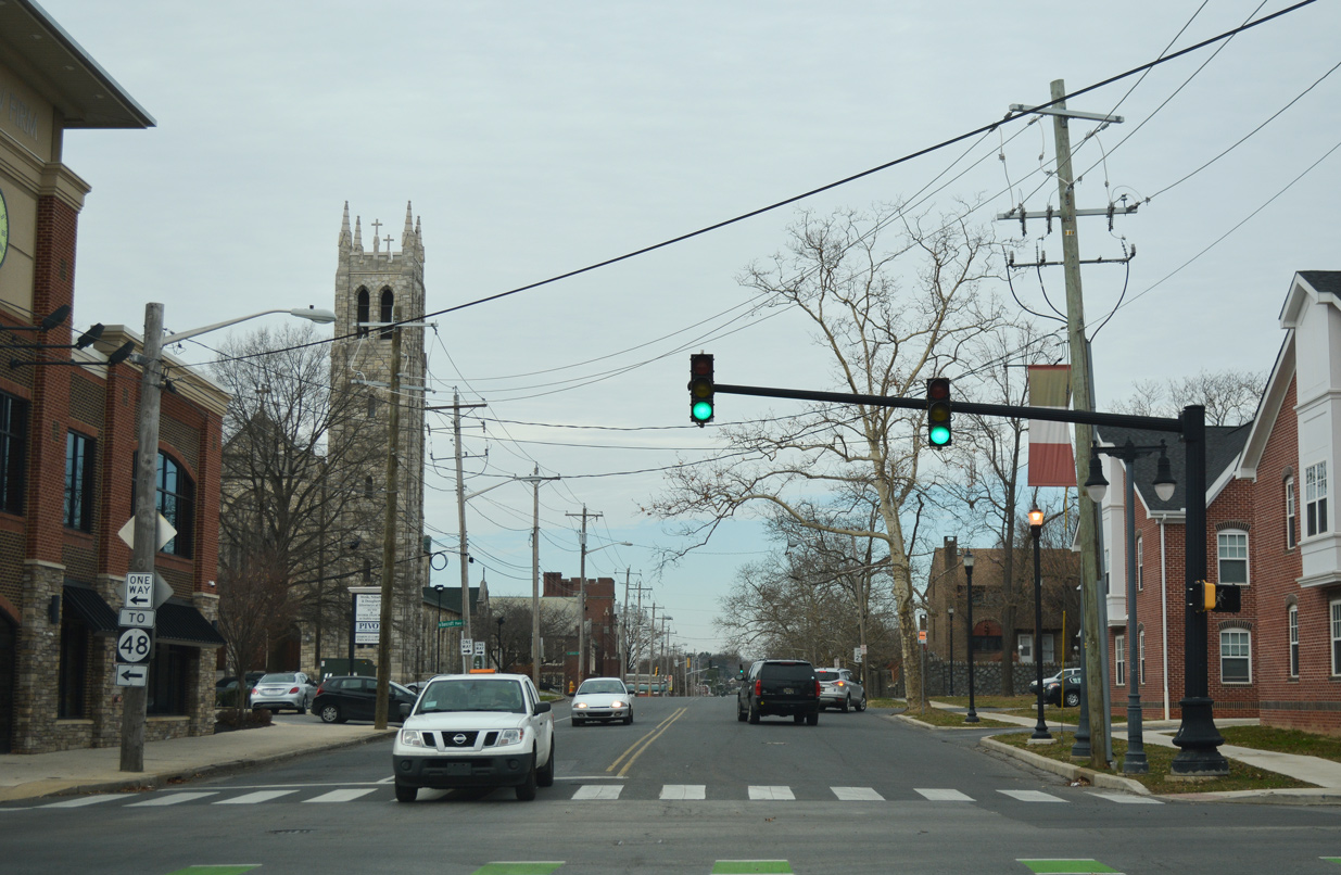
| SR 2 west combines with SR 48 for one block between 2nd and Lancaster Avenues. SR 48 ventures northwest from Wilmington to Hockessin while SR 2 joins Kirkwood Highway west through Elsmere and Prices Corner. 12/20/17 |
|
| Redevelopment of the northeast corner of 4th and Union Streets claimed the end shield for SR 9 posted after SR 2. 4th Street extends northwest with four lanes to Greenville Avenue. The street dead ends beyond Ogle Avenue by the Westmoreland community. 12/20/17 |
06/16/00, 03/20/04, 04/04/04, 08/05/07, 10/03/14, 12/20/16, 12/18/17, 12/20/17, 12/22/20 by AARoads
Page Updated 02-28-2021.


 North
North