|
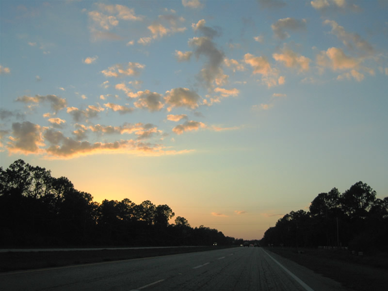
| Once across the St. Johns River and the county line, SR 50 becomes East Colonial Drive. The four lane highway advances west through areas of Seminole Ranch Wildlife Management Area and Tootoosahatchee State Reserve Reserve. 11/04/06 |
|
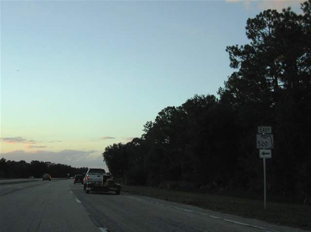
| SR 50 (Colonial Drive) and SR 520 converge at a wye interchange west of Christmas. SR 520 joins the Orlando area with Cocoa and Cocoa Beach to the southeast. 11/04/06 |
|
| An at-grade turn connects SR 50 westbound with SR 520 east to Wedgefield and the Beachline Expressway leading back to Cape Canaveral. 11/04/06 |
|
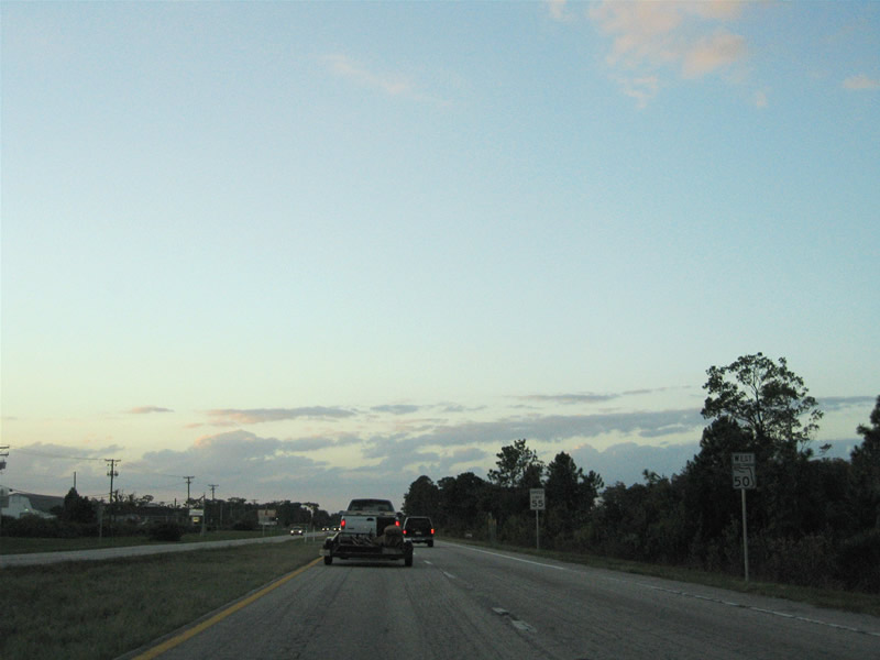
| Colonial Drive curves northwest from SR 520 and enters the rural community of Bithlo. 11/04/06 |
|
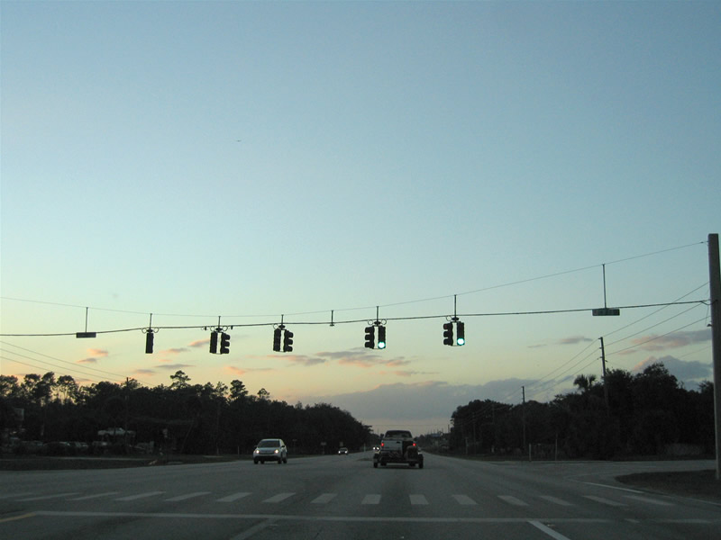
| Westbound at the signalized intersection with County Road 13. CR 13 is not a numbered route in the conventional sense, but rather a local road spurring north and south through the Bithlo community. 11/04/06 |
|
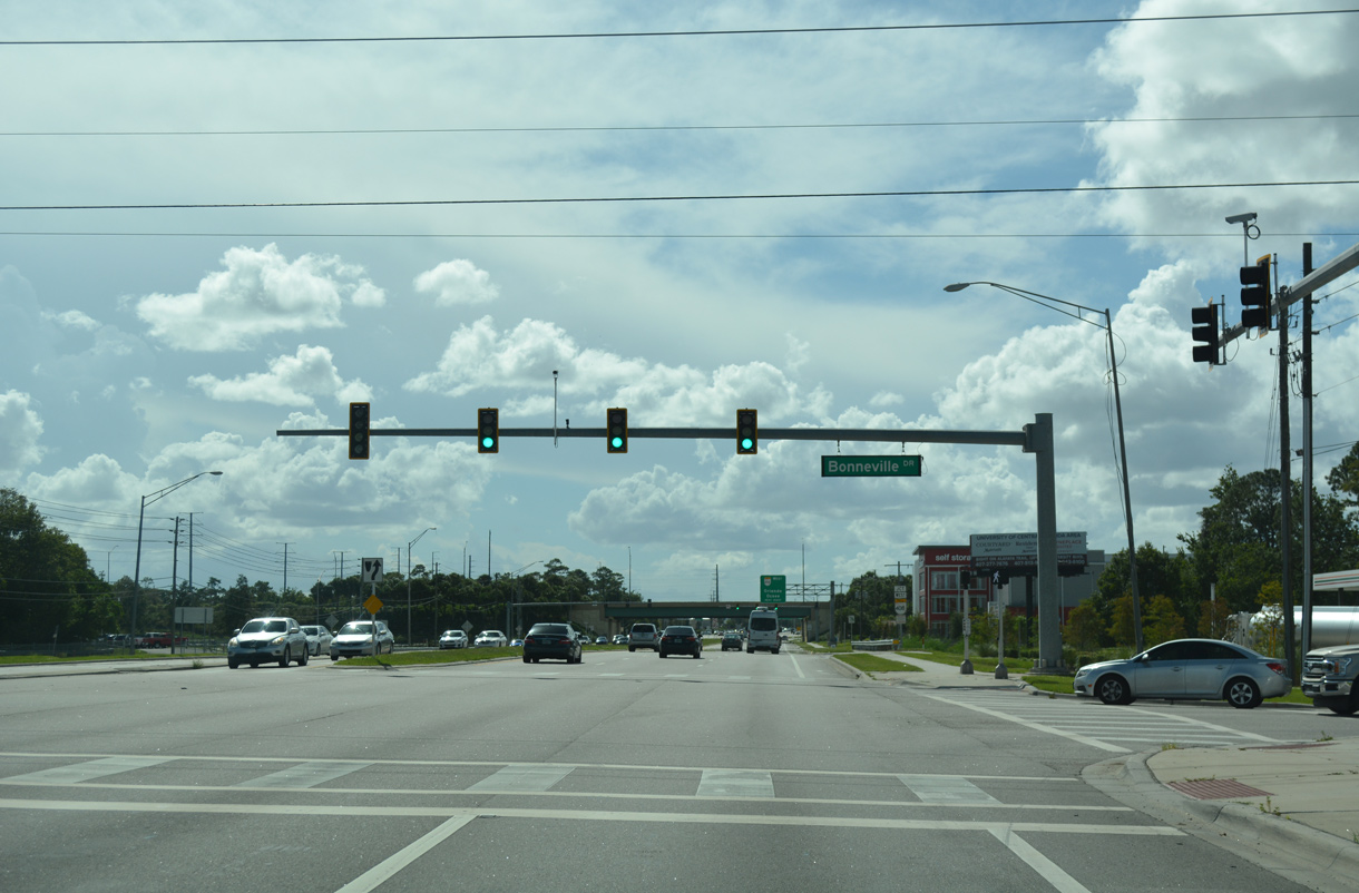
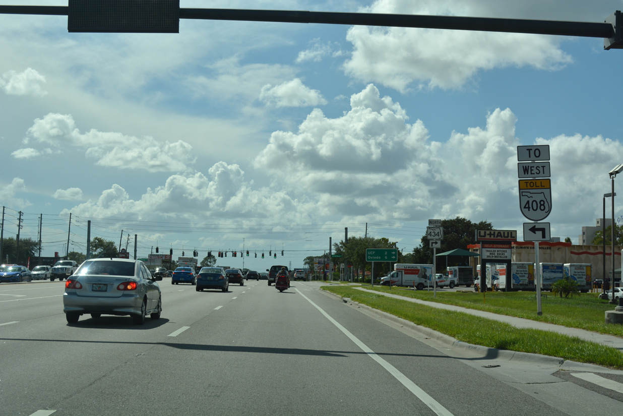
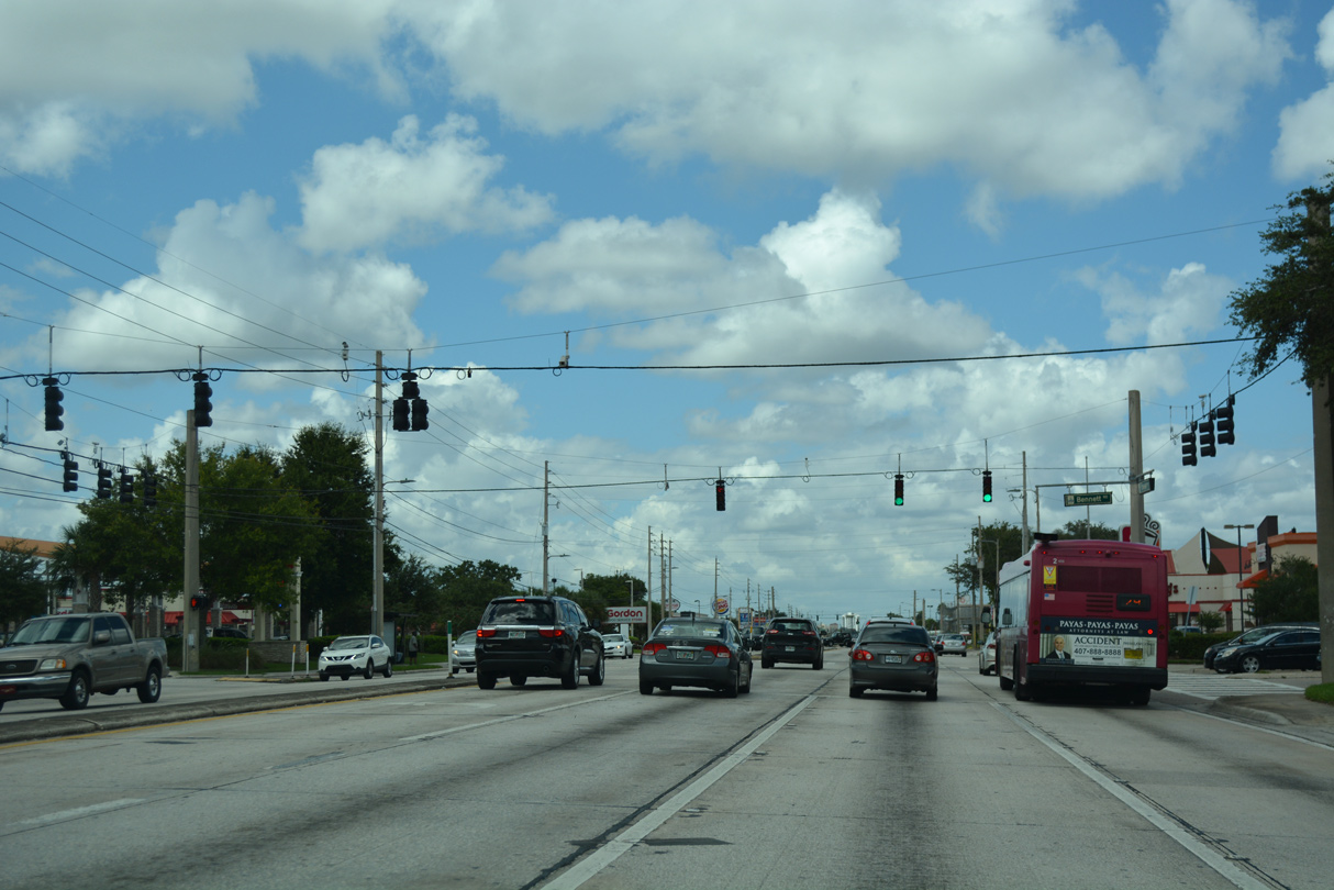
| Traffic gradually increases as East Colonial Drive advances west to the University Park area. Bonneville Drive ties into SR 50 just ahead of SR 408 (East West Expressway). 09/01/18 |
|
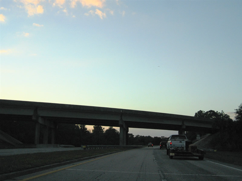
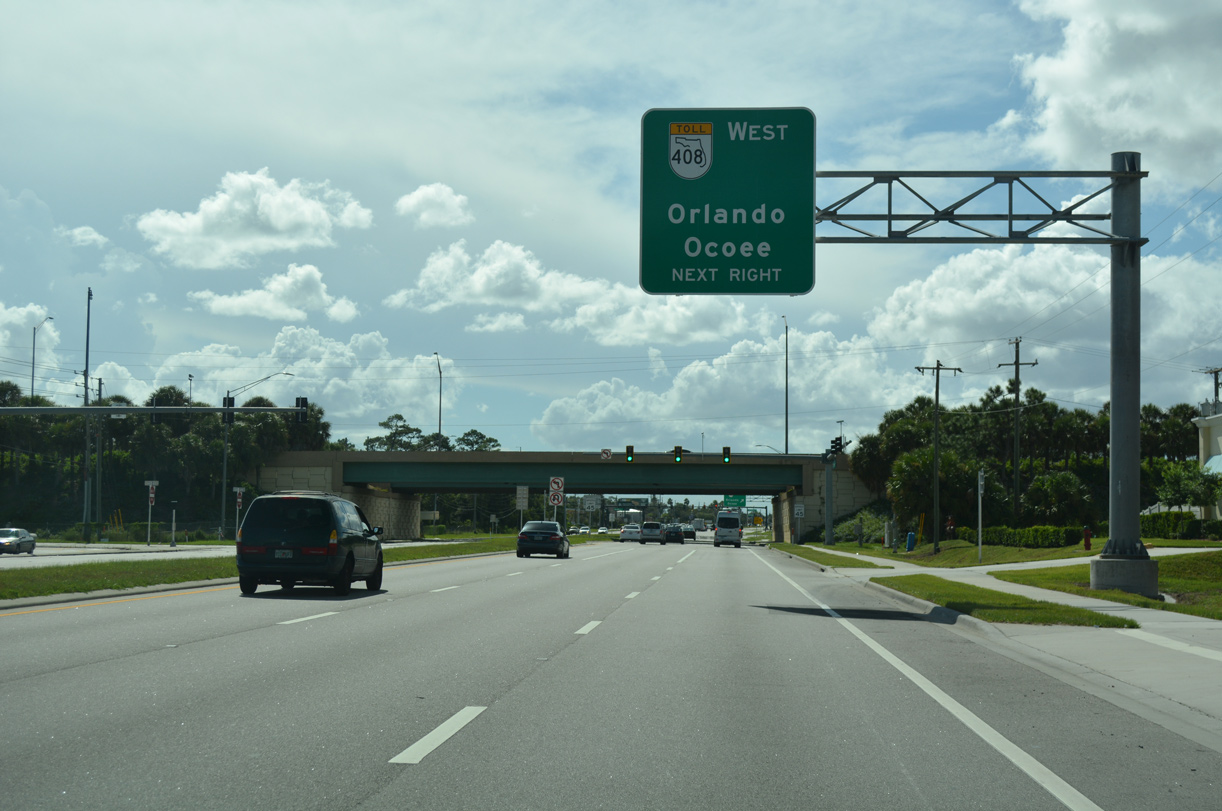
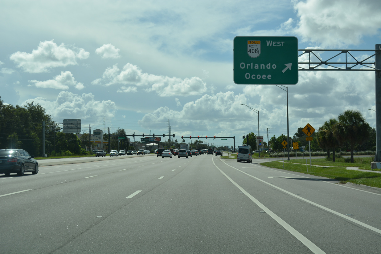
| Costing $68.3 million, six lane expansion of SR 50 was completed west from Avalon Park Boulevard 4.910 miles to Dean Road in late 2017.1 A parclo interchange joins Colonial Drive westbound next with SR 408 (East-West Expressway). 09/01/18 |
|
| SR 408 provides a high speed route to Downtown Orlando and the western suburbs including Ocoee and Winter Garden. The 22 mile long toll road opened initially in 1972 as a bypass for the congested Colonial Drive. 09/01/18 |
|
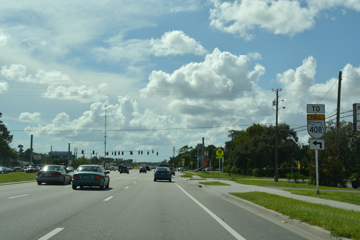
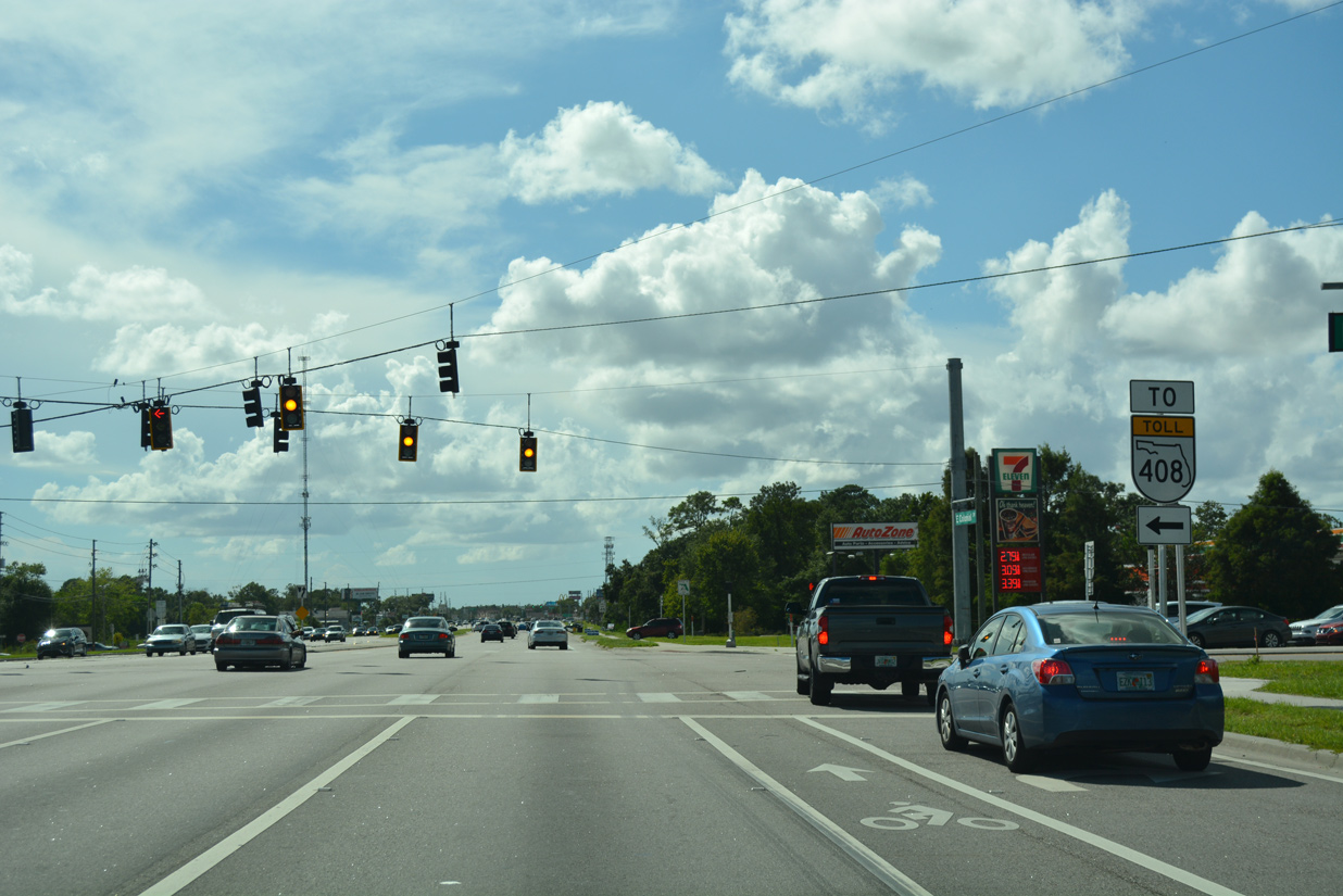
| A loop ramp joins Challenger Parkway south at SR 408 west. A PD&E Study underway covers a possible extension of express toll lanes from SR 408 along Colonial Drive east to Bithlo. 09/01/18 |
|
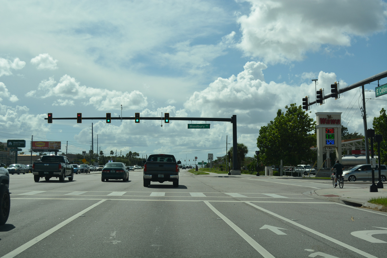
| Woodbury Road parallels SR 408 south from Colonial Drive to the Waterford Lakes development. An extension of the road north to Challenger Parkway was built in 2011. It preceded work on the Town Park development, which opened to shoppers on November 9, 2013. Subsequent construction on the west side of the 27-acre site added a 240-unit apartment complex.2 09/01/18 |
|
| Big box retail and numerous other redevelopment lines the ensuing stretch of Colonial Drive leading west from SR 408 through University Park. 09/01/18 |
|
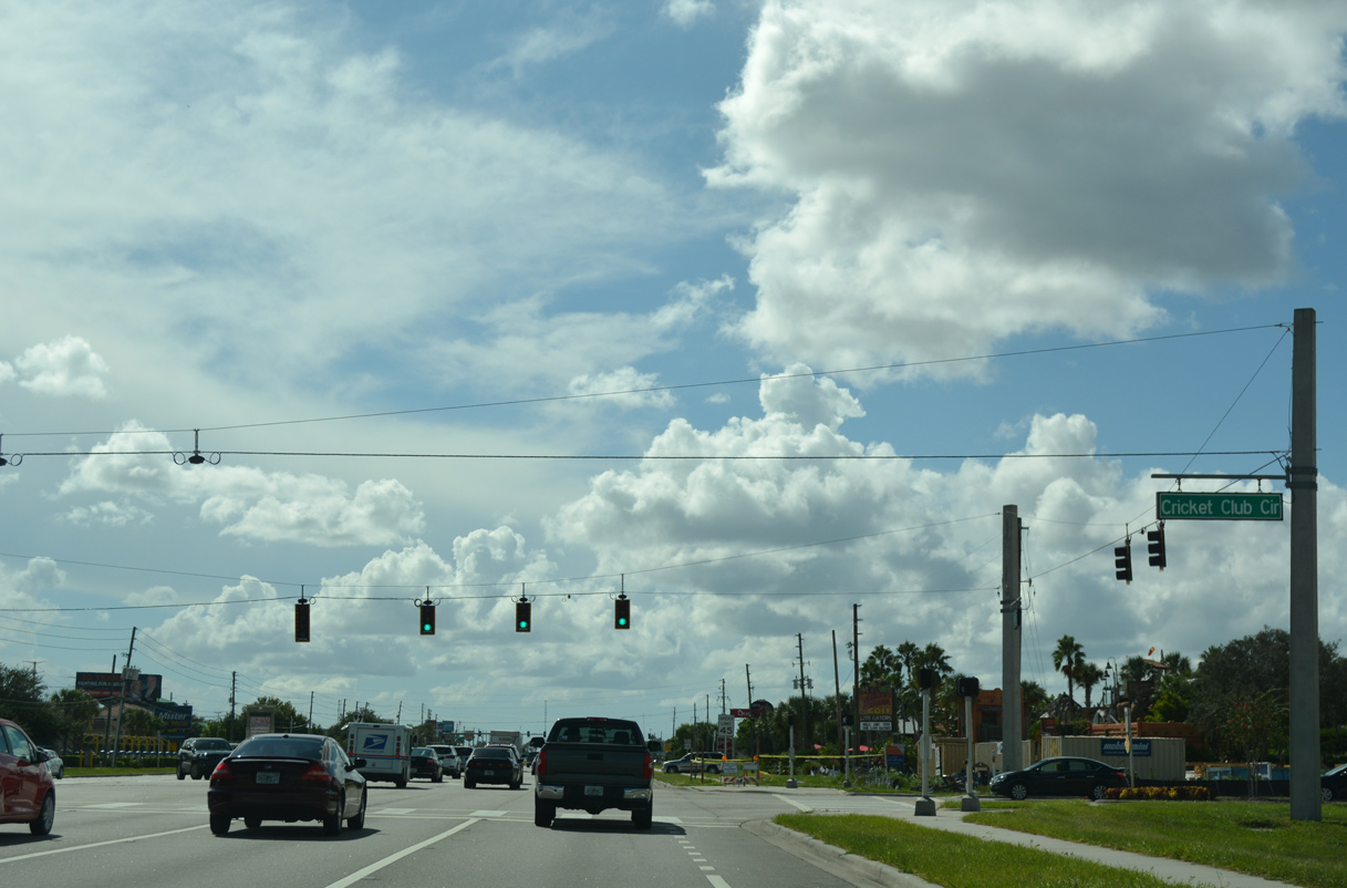
| Traffic lights were added at Cricket Club Circle and the west entrance to Town Park in 2013. Construction in 2018 adds an additional 240 apartments and retail at the northwest corner of the intersection. 09/01/18 |
|
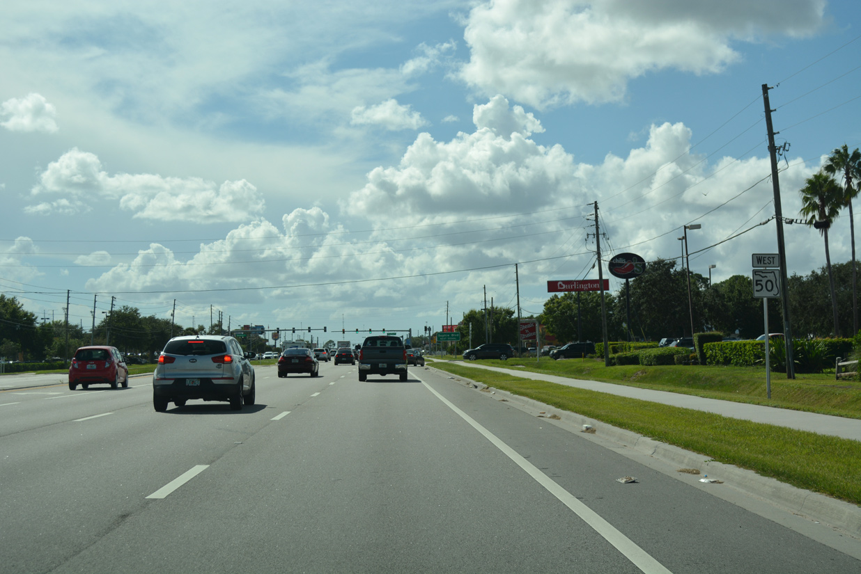
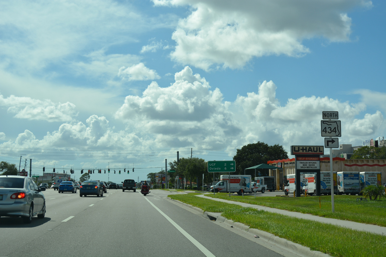
| FDOT recorded 40,000 vehicles per day (vpd) along Colonial Drive between SR 408 and SR 434 in 2017. 09/01/18 |
|
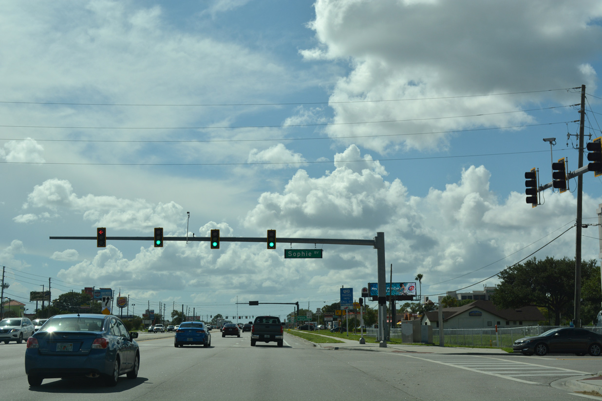
| Sophie Boulevard intersects SR 50 at the succeeding traffic light westbound across from a shopping center entrance. 09/01/18 |
|
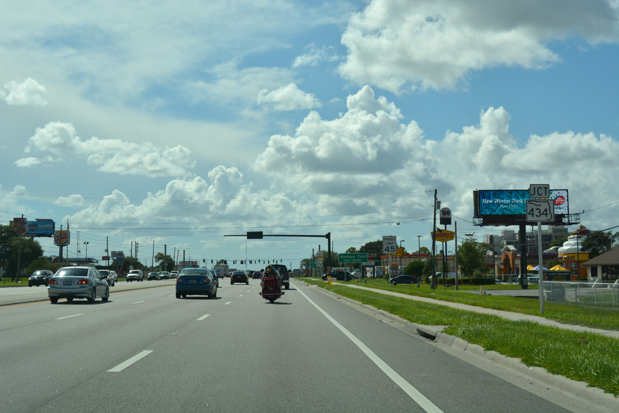
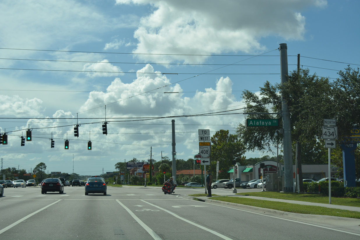
| SR 50 (East Colonial Drive) intersects SR 434 (Alafaya Trail) north at a heavily commercialized intersection. 09/01/18 |
|
| Alafaya Trail extends south from SR 50 as a locally maintained and unnumbered arterial to Waterford Lakes Town Center and a westbound on-ramp to SR 408 (East-West Expressway). 09/01/18 |
|
| SR 434 (Alafaya Trail) travels two miles north to the University of Central Florida (UCF) campus and six miles to the Oviedo city center. 09/01/18 |
|
| A horseshoe shaped route, SR 434 loops north from University Park to Winter Springs, Longwood and Altamonte Springs. The western leg of the 29.3 mile long state road heads south from Forest City to SR 423 (John Young Parkway) near Lake Fairview. 09/01/18 |
|
| Colonial Drive advances west from SR 434 through additional retail areas south of Lake Rouse. 09/01/18 |
|
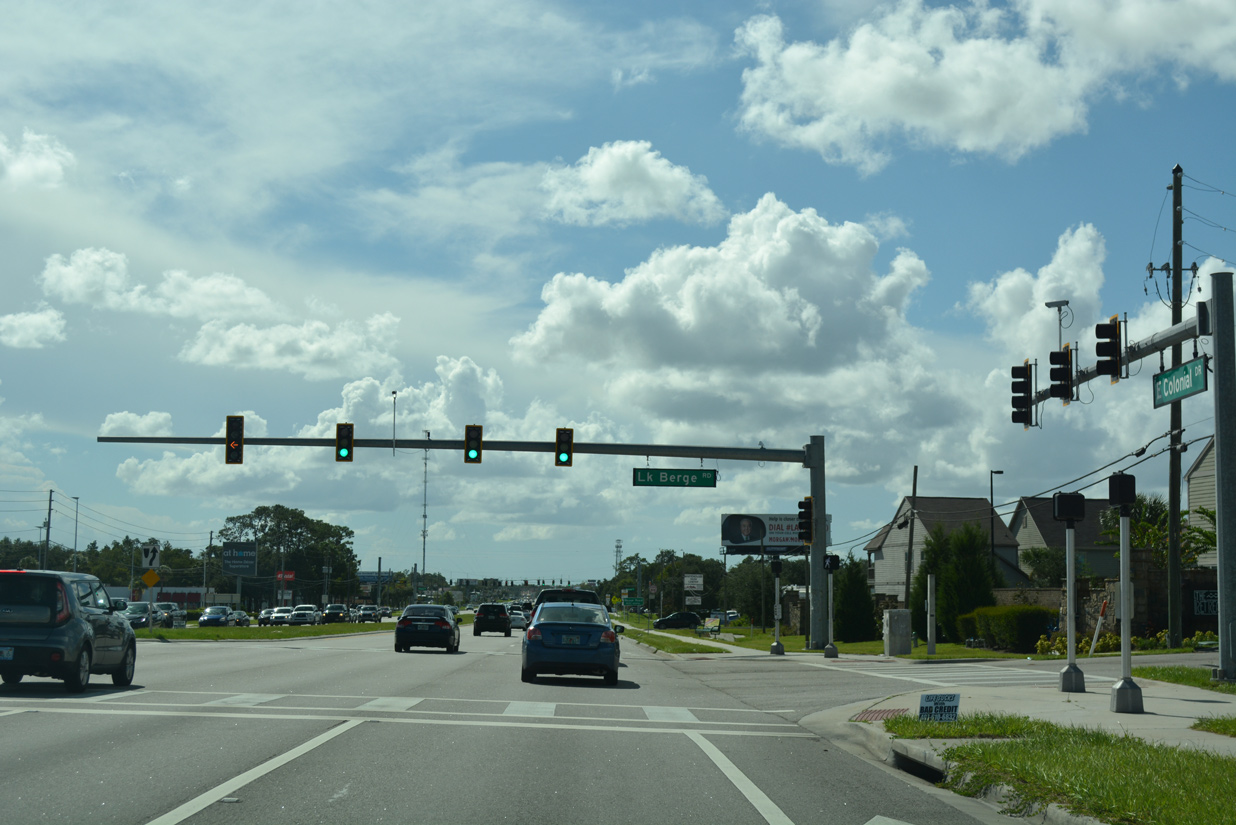
| SR 50 west at Lake Berge Road south and Retreat Avenue north, local residential streets at University Park. 09/01/18 |
|
| Trailblazers direct motorists southward along Rouse Road to the next connection from SR 50 west to SR 408 toward Orlando. 09/01/18 |
|
| Rouse Road is an arterial leading south to Lake Underhill Road at the entrance to Lockheed Martin and north to University Boulevard near the campus of UCF. 09/01/18 |
|
| Reassurance marker posted after Rouse Road on SR 50 (East Colonial Drive) westbound. 09/01/18 |
|
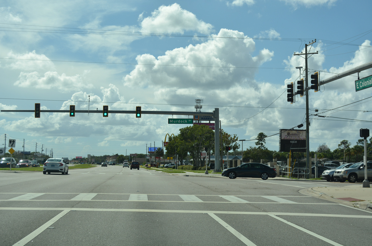
| Murdock Boulevard links SR 50 with the Orlando Acres residential areas beyond the retail frontage along Colonial Drive. 09/01/18 |
|
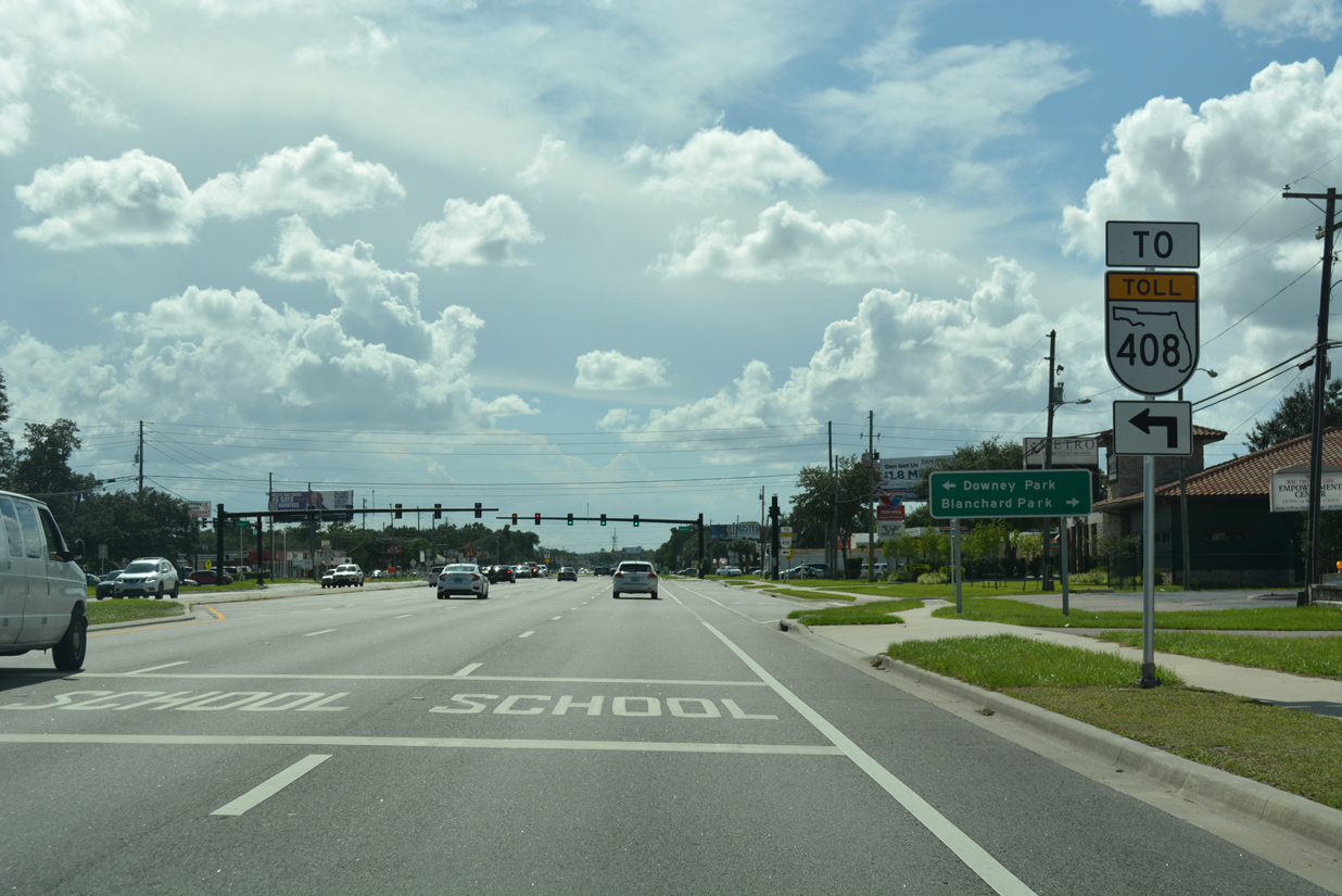
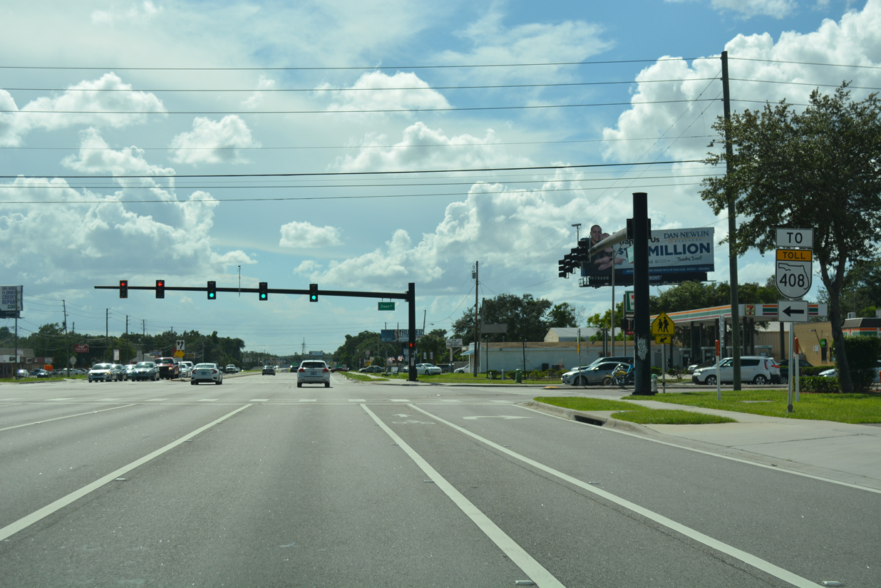
| Dean Road and East Colonial Drive converge at the northwest corner of Downey Park, 1.5 miles north of SR 408 (East-West Expressway). 09/01/18 |
|
| Doubling as unsigned County Road 425, Dean Road constitutes an arterial heading north to University Boulevard and the Suncrest development and south from Union Park to Lake Underhill Road. 09/01/18 |
|
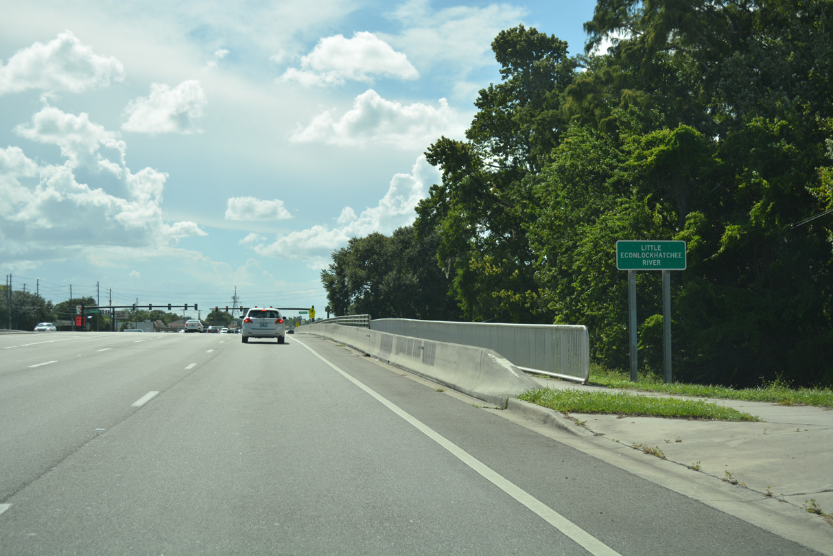
| Expansion of SR 50 (East Colonial Drive) west across the Little Econ River to Econlockhatchee Trail was finished in 2012. 09/01/18 |
|
| Econlockhatchee Trail parallels SR 417 (Central Florida GreeneWay) through an array of suburban development along a 9.4 mile course north from Lee Vista Square townhome community in Orlando to the Watermill development off Lake Pearl. 09/01/18 |
|
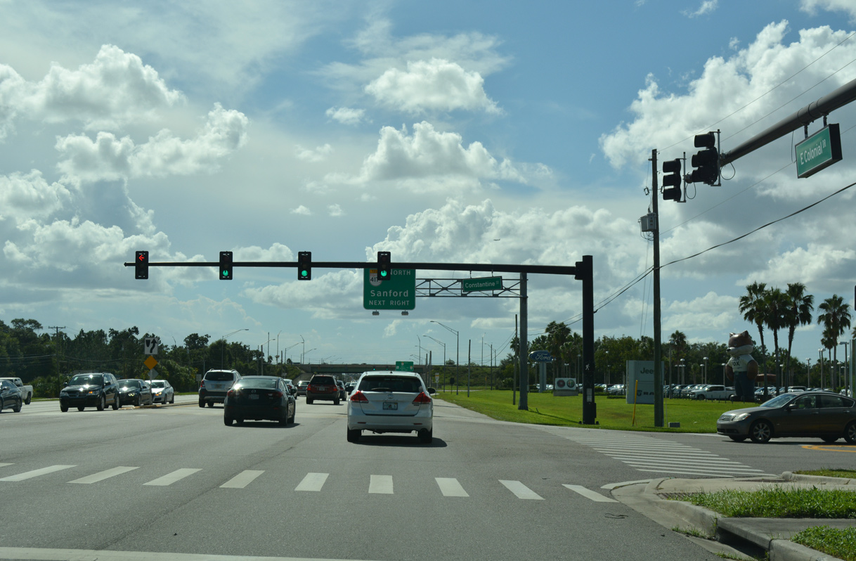
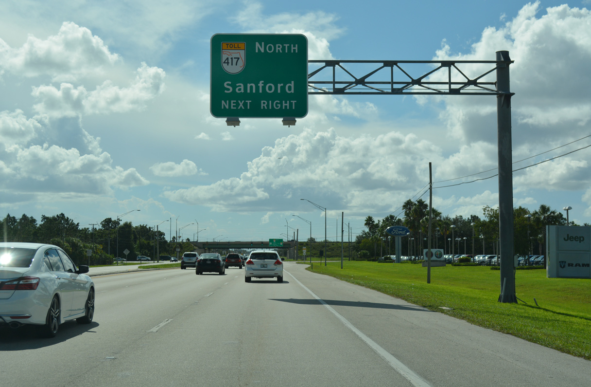
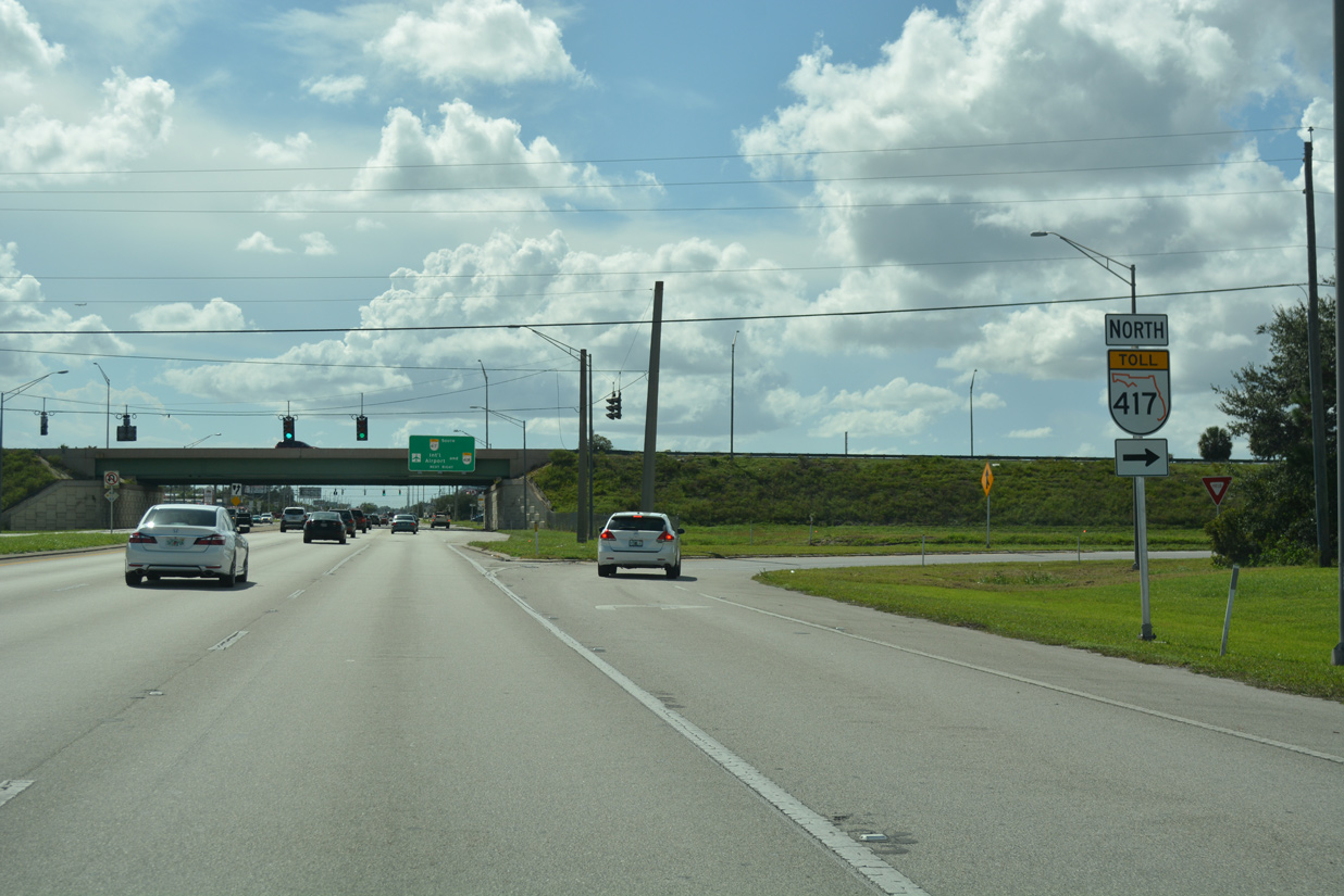
| SR 50 (Colonial Drive) next approaches a parclo interchange with the Central Florida GreeneWay on the west side of Union Park. 09/01/18 |
|
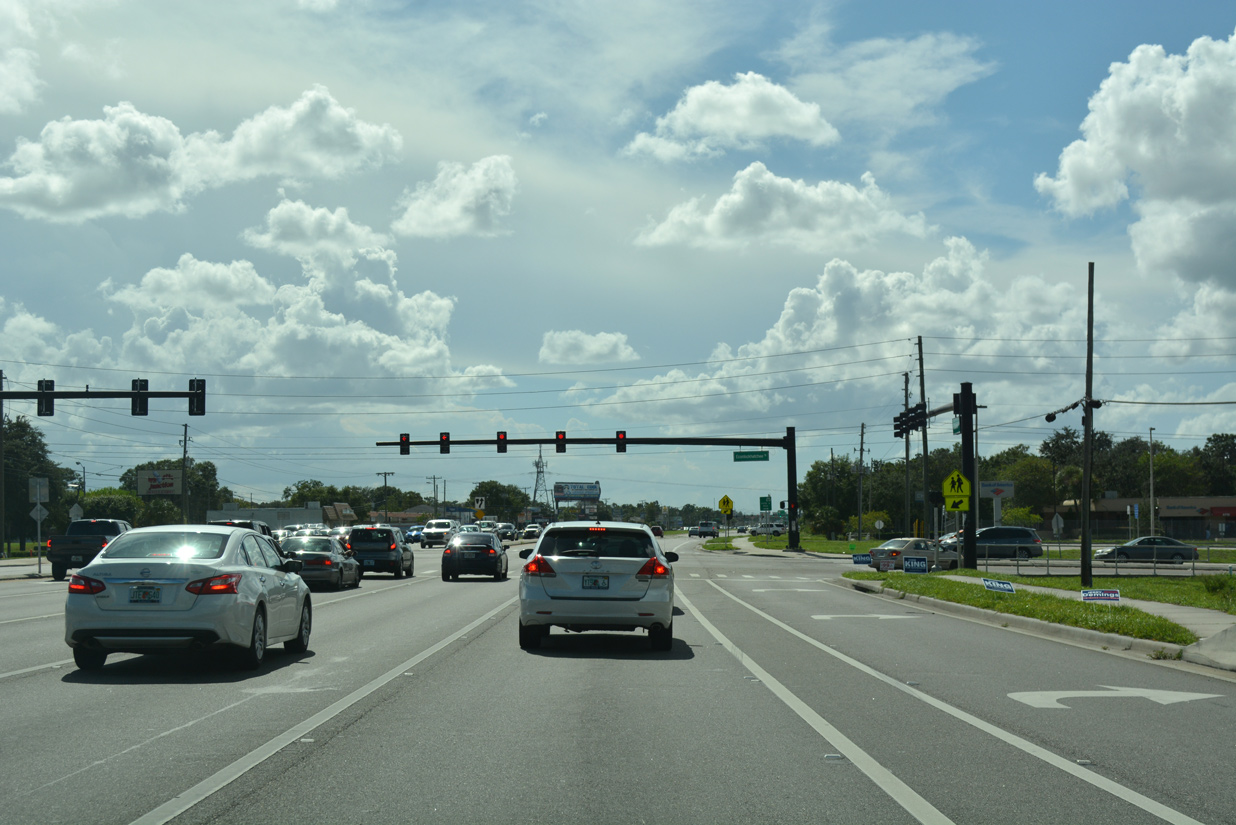
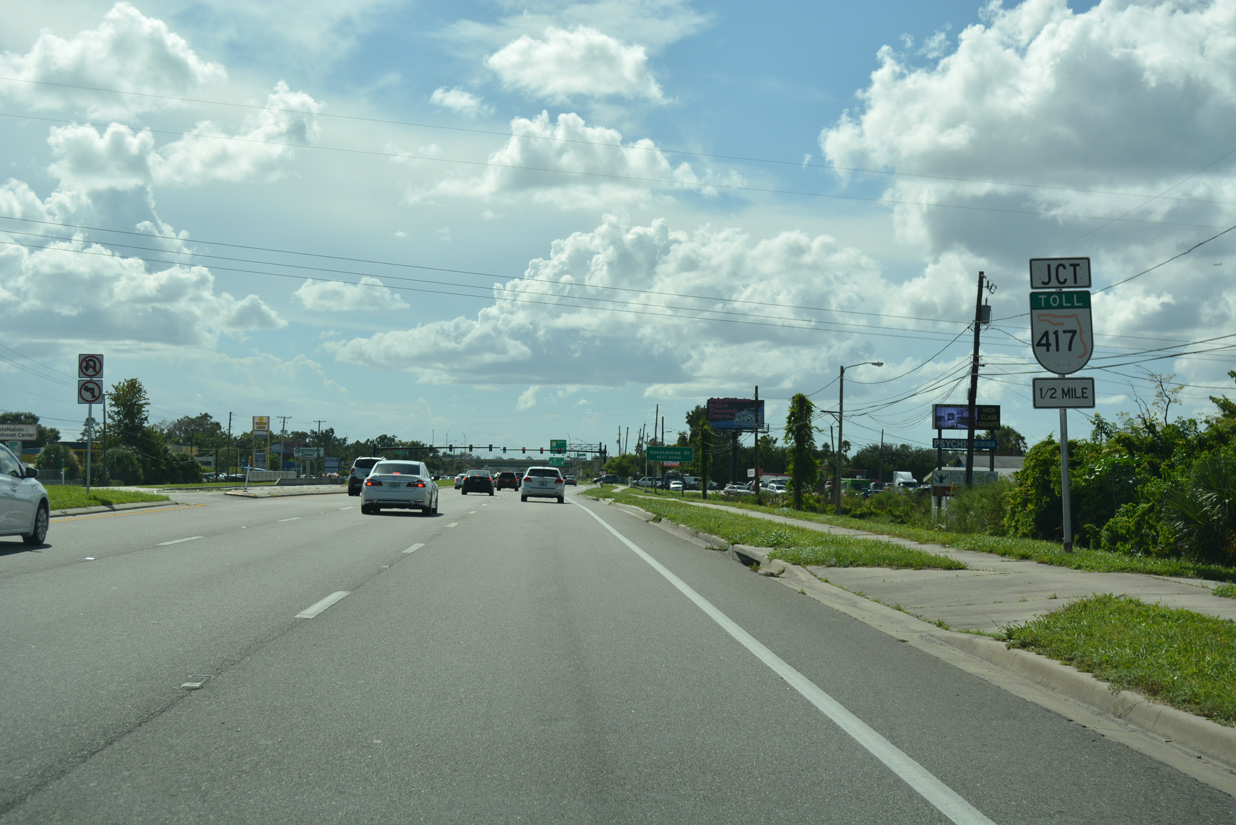
| Traffic signals with Constantine Street precede the exchange with SR 417 along SR 50 west. Constantine Street is a local road south into the East Dale Acres neighborhood. 09/01/18 |
|
| SR 417 is a 55 mile long toll road encircling the Orlando metropolitan area. The state road travels north to Oviedo, Lake Jesup and Sanford along the Seminole Expressway. 09/01/18 |
|
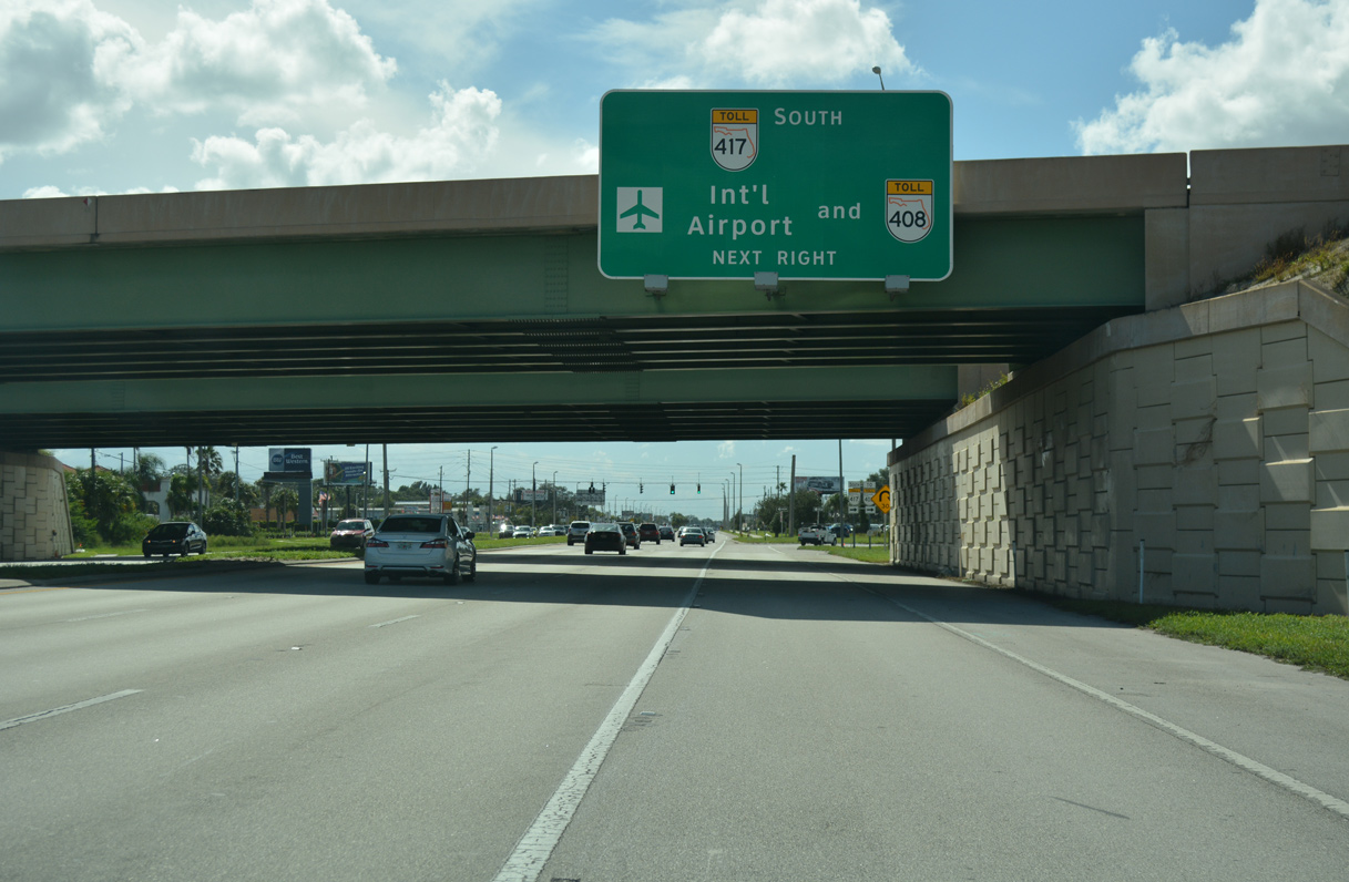
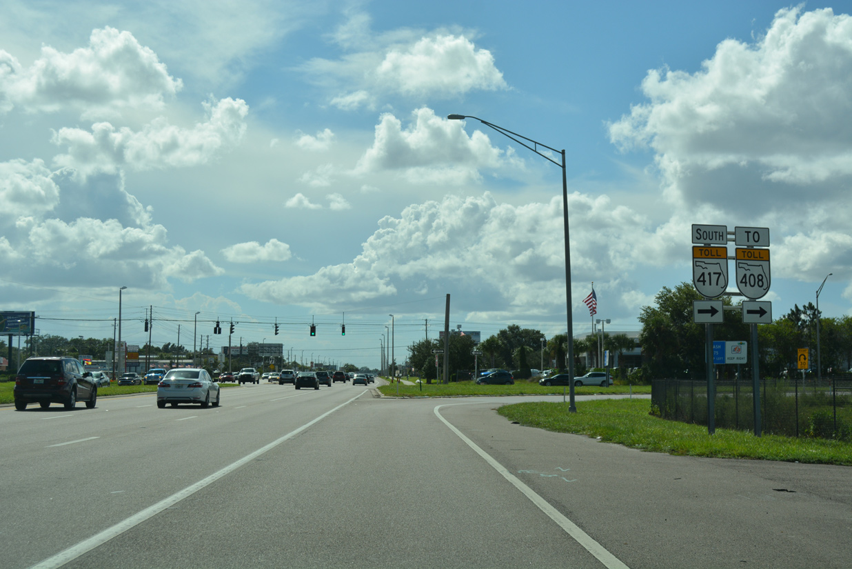
| SR 417 (Central Florida GreeneWay) leads commuters south 1.6 miles to SR 408 (East-West Expressway) west into Orlando. 09/01/18 |
|
| SR 417 and 408 were previously joined by a separate freeway (SR 4080), located just south of SR 50. That connection was demolished with the exchange further south at SR 408 upgraded into a systems interchange. 09/01/18 |
|
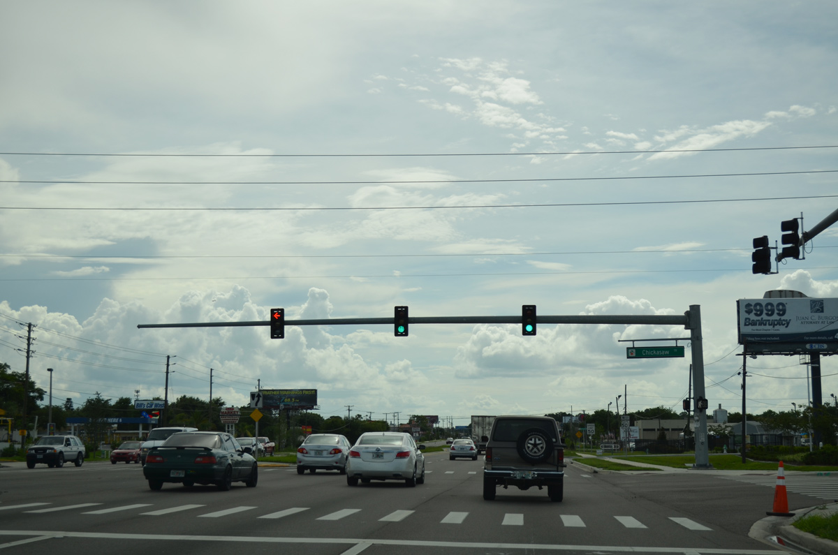
| Chickasaw Trail represents the next arterial route connecting with SR 50 (E Colonial Drive). The three lane boulevard heads south to a number of subdivisions and apartment complexes to Lake Underhill Road and the Rio Pinar community. 06/29/13 |
|
| SR 50 crosses a tributary of the Little Econ River beyond this reassurance marker. 06/29/13 |
|
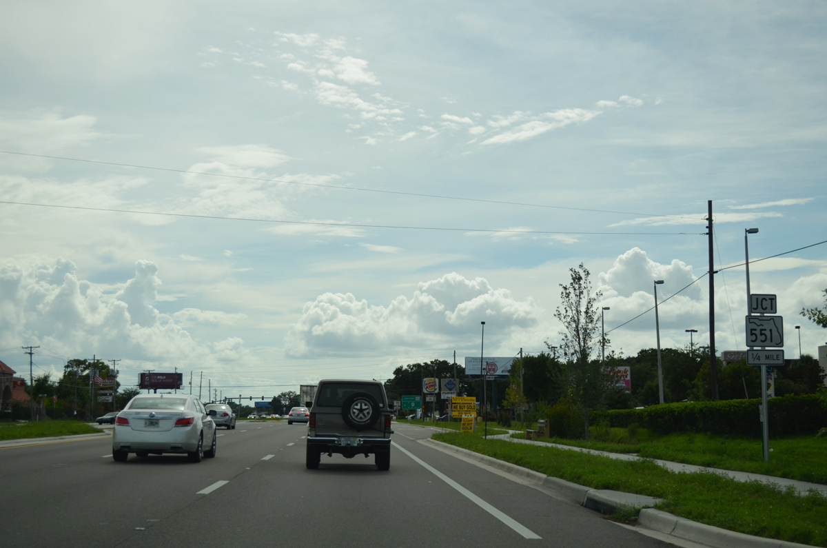
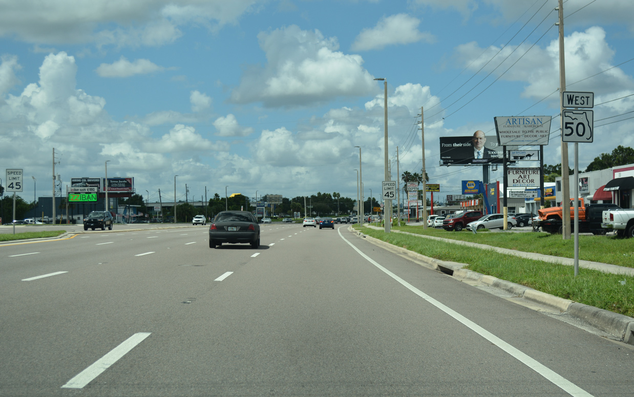
| Continuing to SR 551 (Goldenrod Road) on SR 50 (Colonial Drive) west. 06/29/13 |
|
| A guide sign precedes Goldenrod Road, referencing St. Cloud for SR 551 south to SR 15 (Narcoosee Road). SR 15 and CR 15 join the Orlando area with U.S. 192/441 just east of St. Cloud along a heavily developed suburban route. 06/29/13 |
|
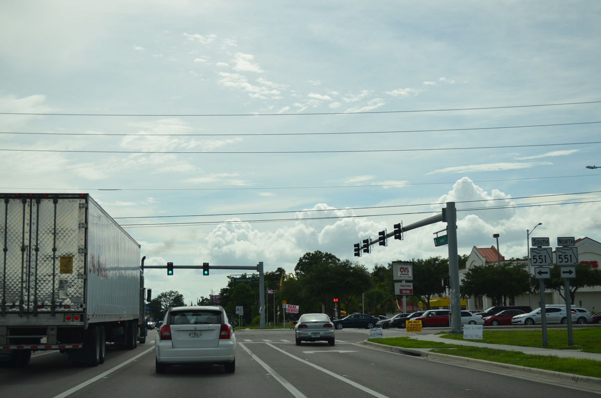
| SR 551 (Goldenrod Road) travels north from SR 50 to SR 426 (Aloma Avenue) at Goldenrod and south to SR 15 (Hoffner Avenue / Narcoossee Road) in southeast Orlando. 06/29/13 |
|
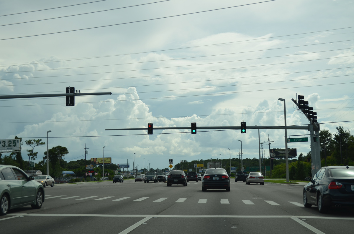
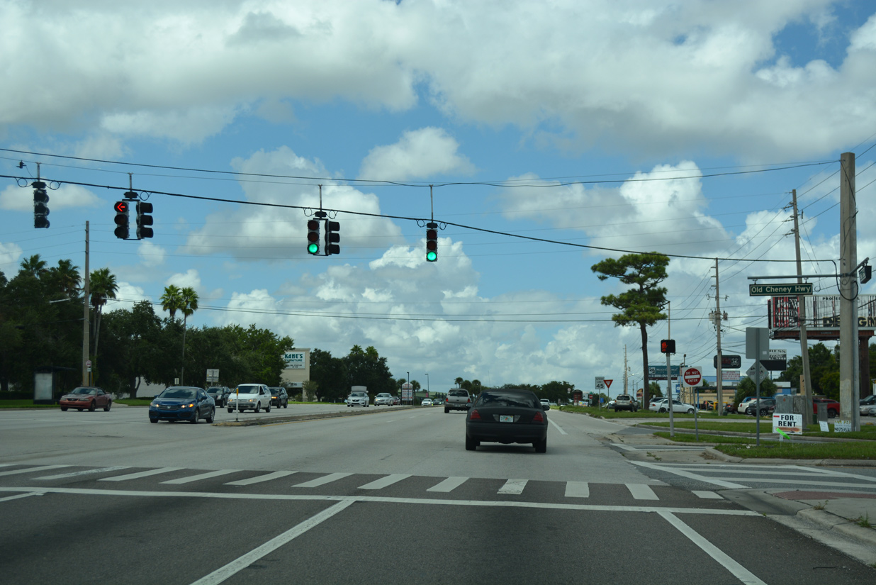
| SR 50 makes a gradual southward curve beyond SR 551, splitting with Old Cheney Highway ahead of Forsyth Road. Old Cheney Highway is the old alignment of SR 50. 06/29/13 |
|
| Forsyth Road heads south from Aloma through industrial park areas to intersect SR 50 west at the succeeding traffic light. Forsyth Road continues south to Azalea Park. 06/29/13 |
|
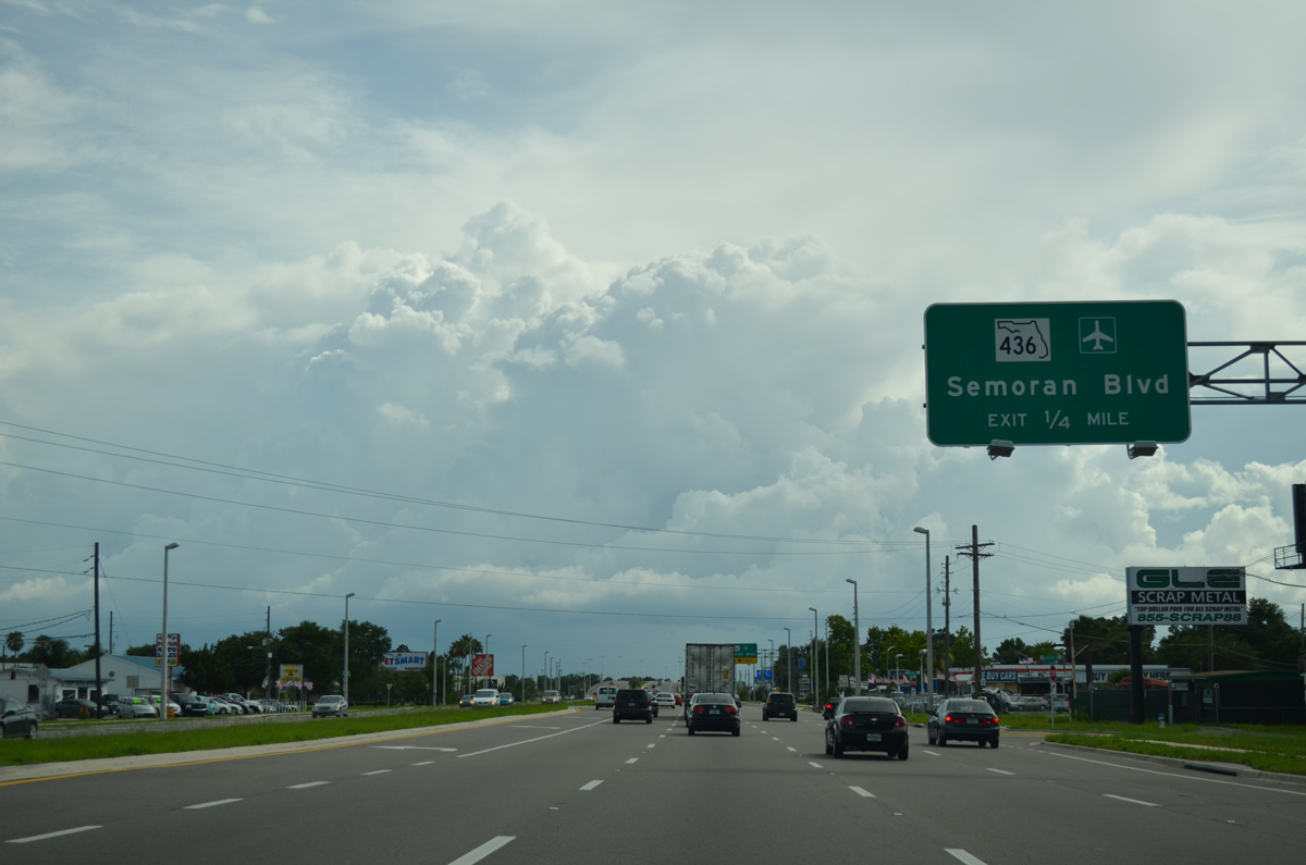
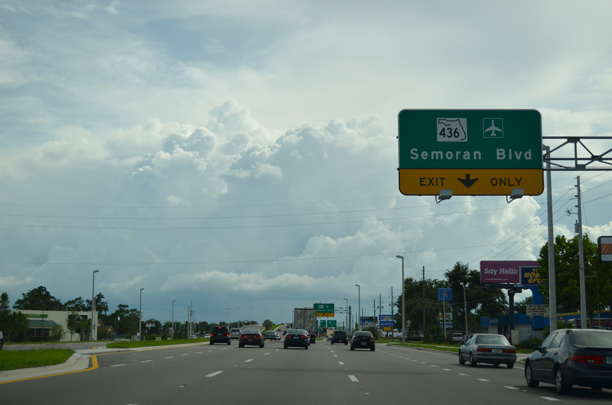
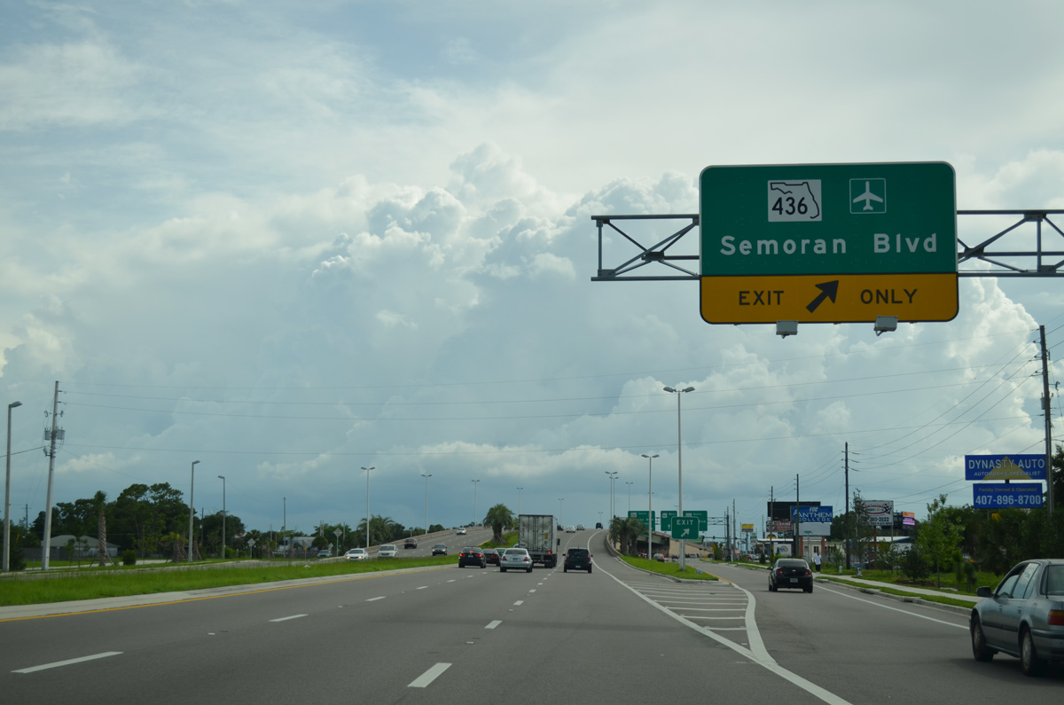
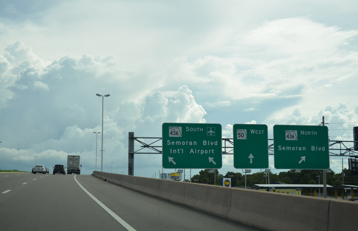
| Continuing southwest, SR 50 (E Colonial Drive) switches sides with Old Cheney Highway ahead of a single point urban interchange (SPUI) with SR 436 (Semoran Boulevard). 06/29/13 |
|
| The SPUI with SR 436 (Semoran Boulevard) was built from 2008 to 2010. It replaced a congested intersection near Azalea Park and Lake Barton. 06/29/13 |
|
| SR 436 (Semoran Boulevard) wraps around the city of Orlando along a 25 mile course north from SR 528 (Beachline Expressway) to Casselberry, Altamonte Springs and U.S. 441 at southeast Apopka. 06/29/13 |
|
| Semoran Boulevard comprises a six lane commercial arterial north from SR 50 to eastern reaches of Winter Park and Aloma and south through southeastern Orlando to Orlando International Airport (MCO). 06/29/13 |
|
| SR 50 (E Colonial Drive) maintains eight overall lanes from the ramps with Semoran Boulevard to the west end of Old Cheney Highway. 09/01/18 |
|
| Old Cheney Highway returns to SR 50 (Colonial Drive) southwest from the Lake Barton Park community west of Little Lake Barton. 09/01/18 |
|
| Lake Baldwin Lane winds northward from SR 50 to Baldwin Park. Baldwin Park is a mixed used development in Orlando that was built at the site of the former Orlando Naval Training Center. 09/01/18 |
|
| Bennett Road runs northward from E Colonial Drive along the west side of Baldwin Park to Corrine Drive. 09/01/18 |
|
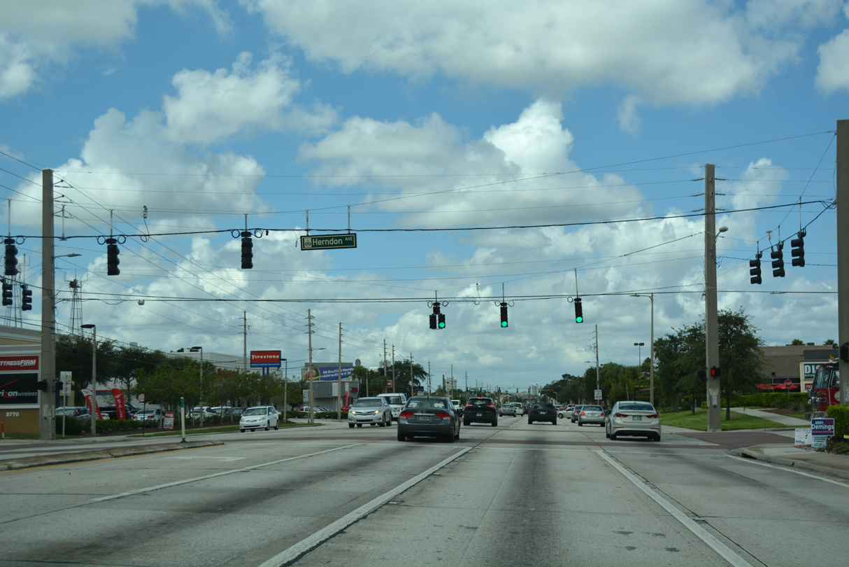
| Continuing west into the Colonial Town Center retail corridor, SR 50 next intersects Herndon Avenue north of Orlando Executive Airport (ORL). 09/01/18 |
|
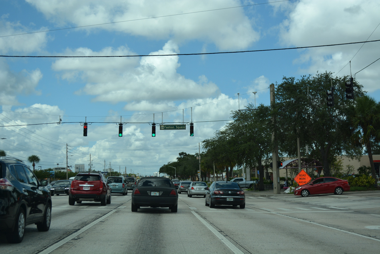
| Colonial Landing ties into E Colonial Drive across from the former Orlando Fashion Square Mall. 09/01/18 |
|
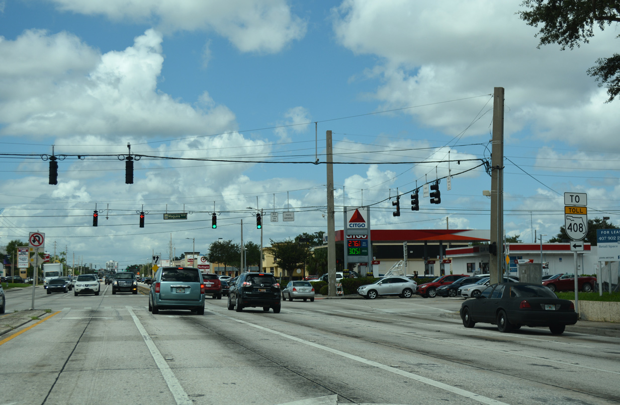
| Maguire Boulevard arcs southwest from New Broad Street at Baldwin Park to intersect SR 50 adjacent to Colonial Marketplace shopping center. South from Colonial Drive, Maguire Boulevard transitions to Crystal Lake Drive along the west side of ORL Airport ahead of ramps to SR 408. 09/01/18 |
|
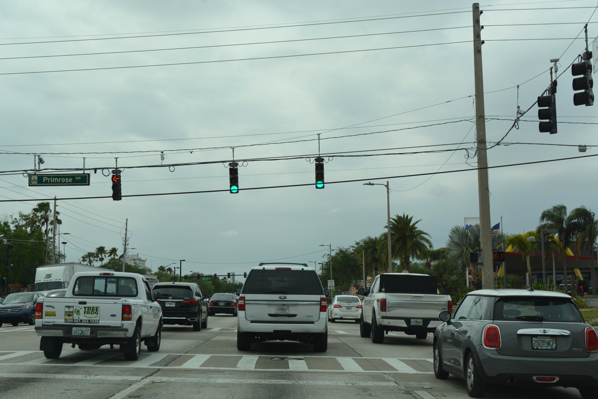
| SR 50 (E Colonial Drive) west at Primrose Drive and Colonial Plaza. 03/31/18 |
|
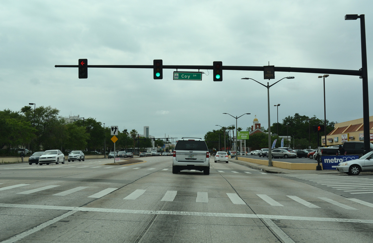
| Coy Drive intersects SR 50 (Colonial Drive) south from the Colonial Acres neighborhood across from Colonial Plaza. 03/31/18 |
|
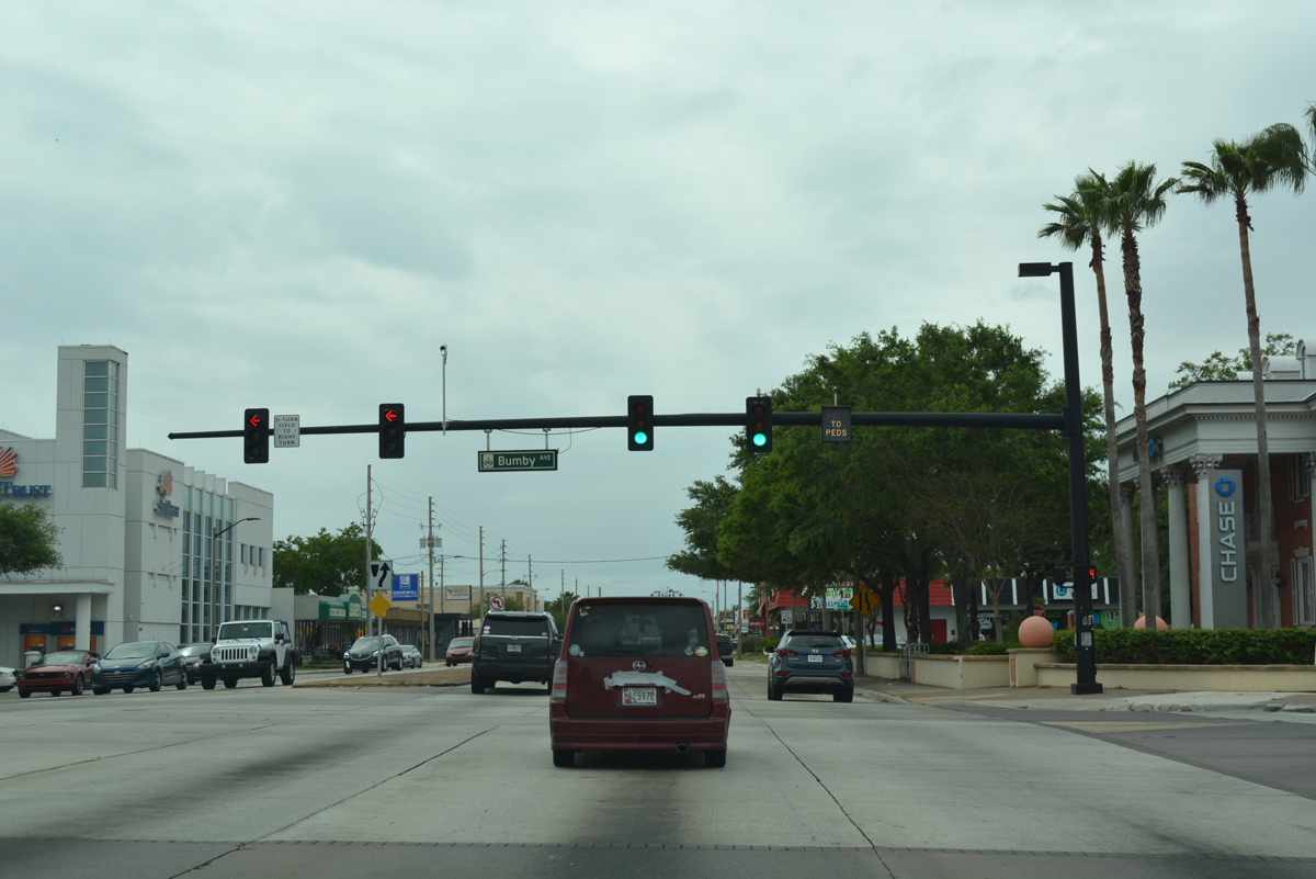
| Bumby Avenue meets SR 50 (E Colonial Drive) at the Colonialtown neighborhood. The through street leads south to Seminole Park and Orlando Highlands. 03/31/18 |
|
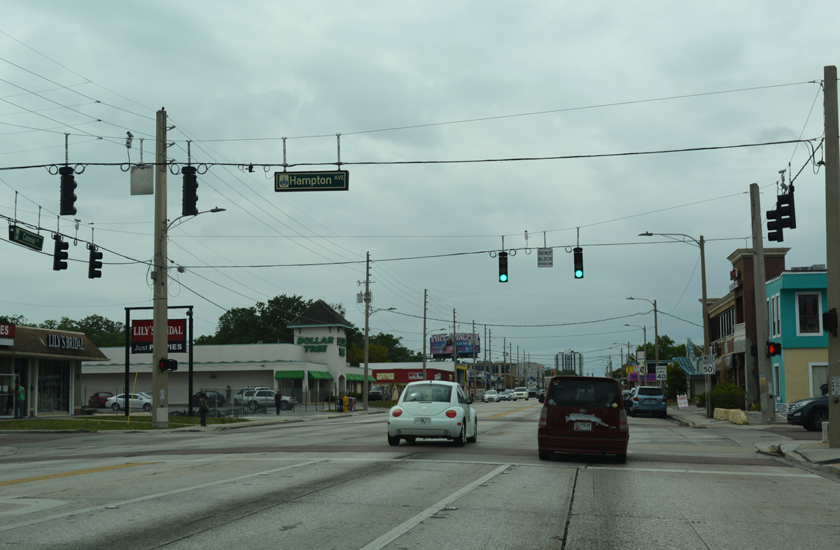
| The succeeding traffic light along SR 50 (Colonial Drive) west is at Hampton Avenue. 03/31/18 |
|
| A SR 50 reassurance shield stands west of Hampton Avenue. 03/31/18 |
|
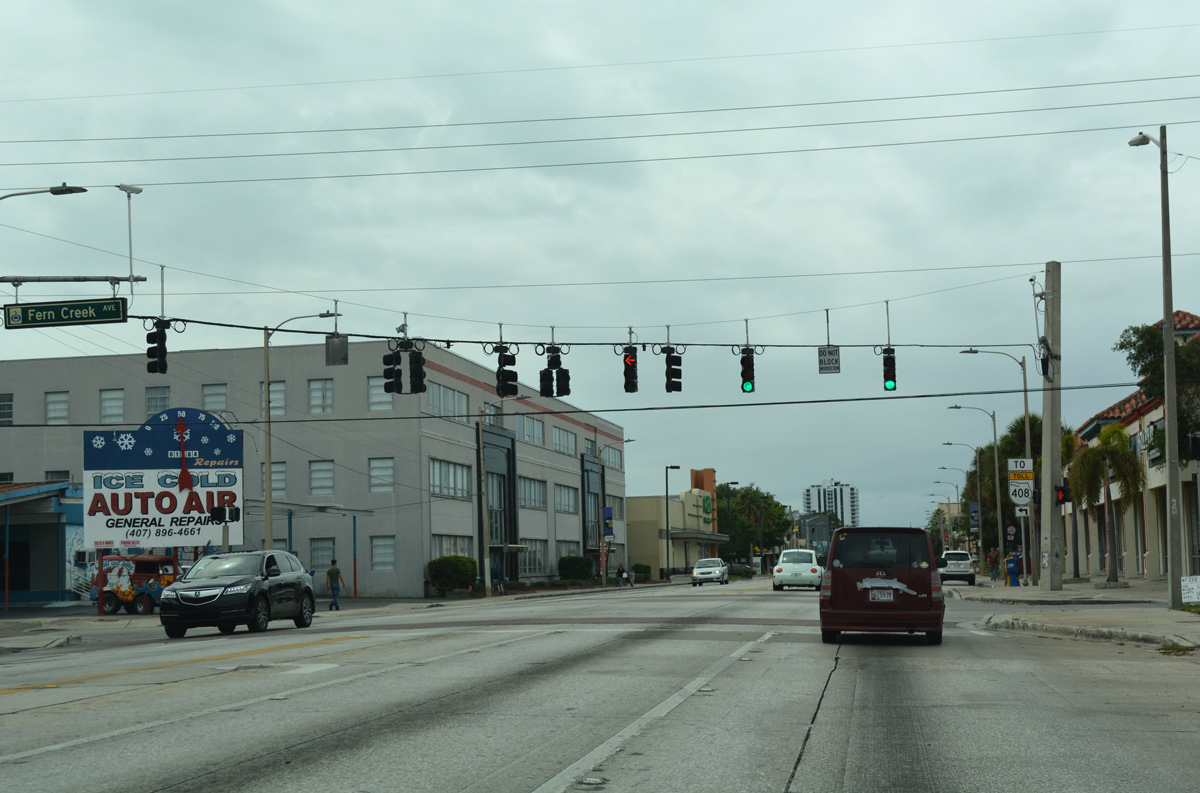
| Fern Creek Avenue crosses Colonial Drive south through Colonialtown to Central Boulevard near Langford Park. 03/31/18 |
|
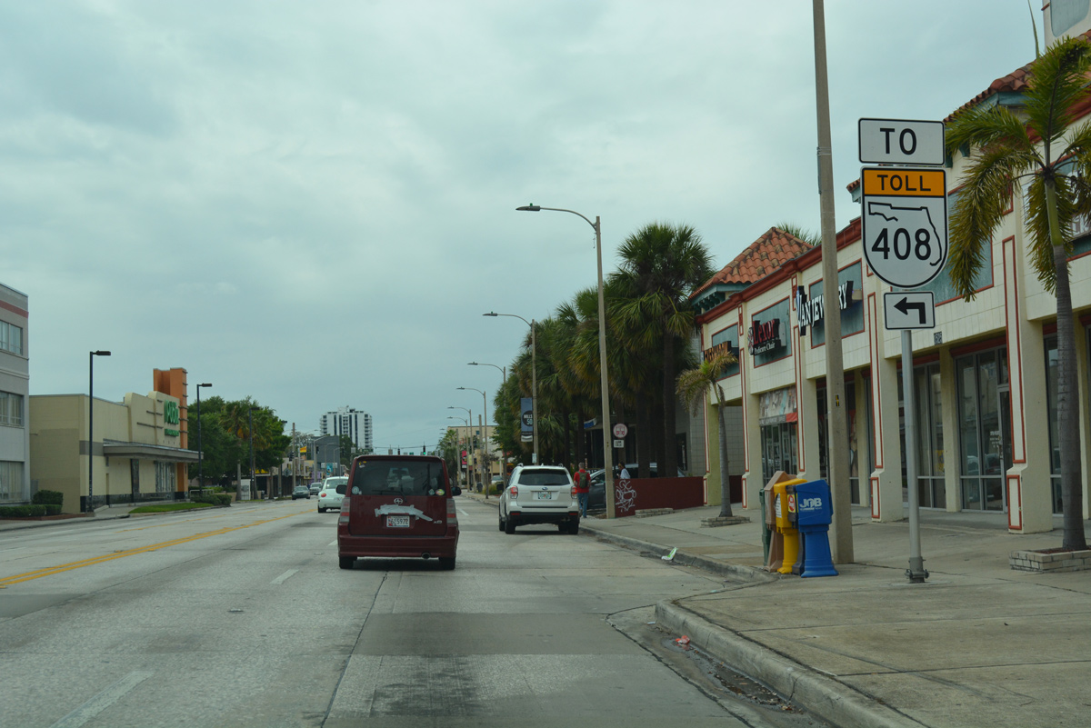
| A trailblazer for SR 408 precedes the SR 15 (Mills Avenue) south. 03/31/18 |
|
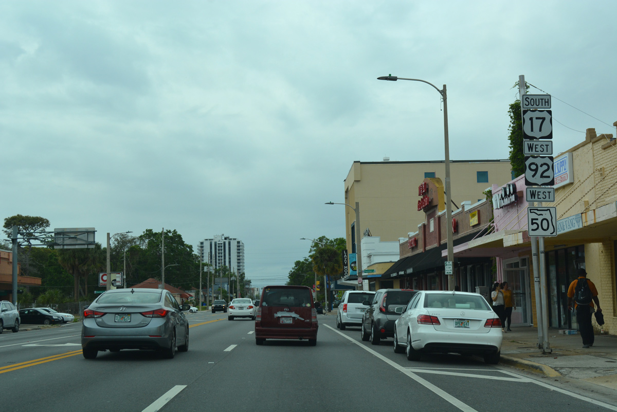
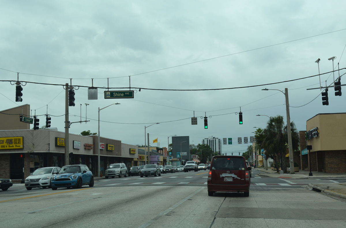
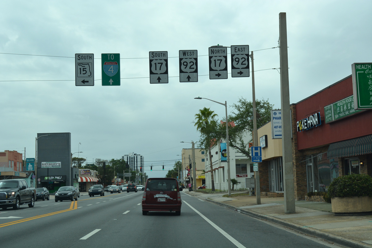
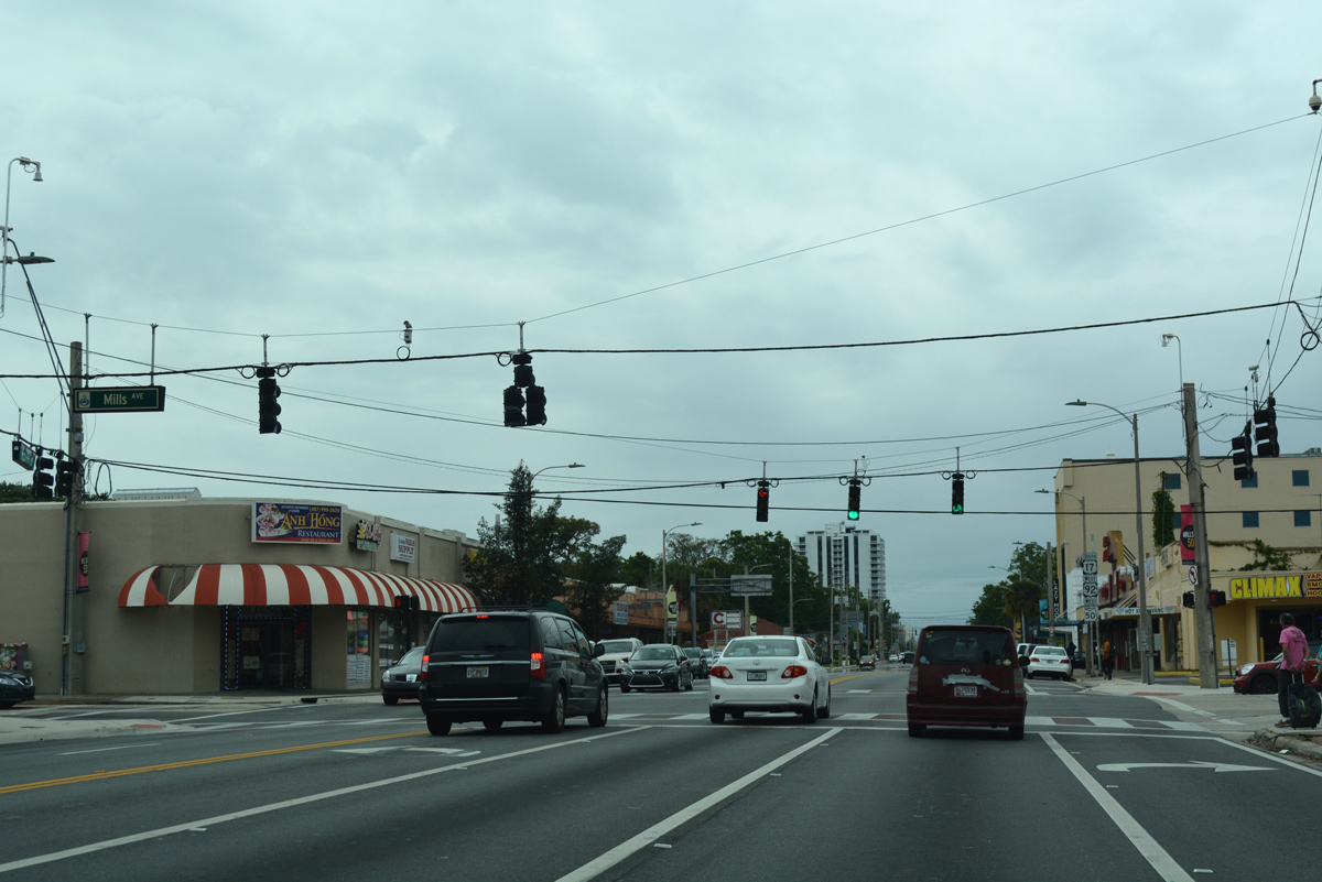
| Shine Avenue intersects SR 50 one block ahead of U.S. 17-92 north and SR 15 (Mills Avenue) south. 03/31/18 |
|
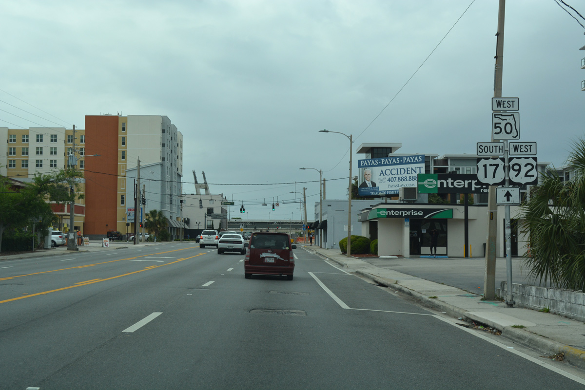
| U.S. 17/92 follow Mills Avenue north from SR 50 (Colonial Drive) to Winter Park. SR 15 accompanies U.S. 17 as its underlying state road north from Orlando to Jacksonville. 03/31/18 |
|
| SR 15 emerges from U.S. 17/92 along Mills and Thornton Avenues south from SR 50 to Lake Lawsona and the East-West Expressway. 03/31/18 |
|
| U.S. 17/92 west join SR 50 (Colonial Drive) west to bypass Downtown Orlando and link with Orange Blossom Trail (U.S. 441) south. 03/31/18 |
|
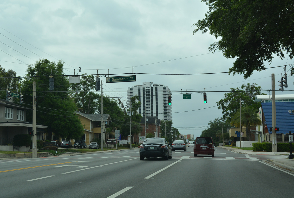
| Summerlin Avenue meets U.S. 17-92/SR 50 (E Colonial Drive) south from Highland Terrace and north from Lake Eola Heights. 03/31/18 |
|
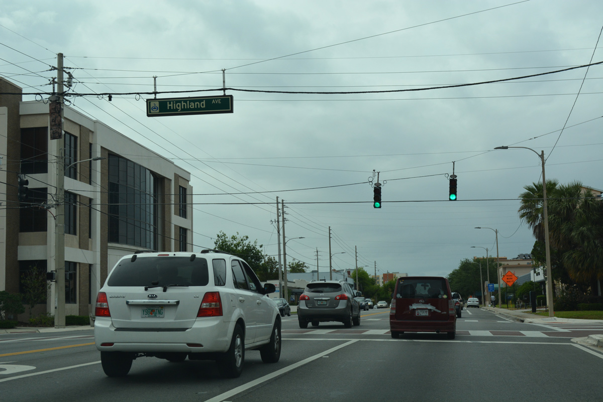
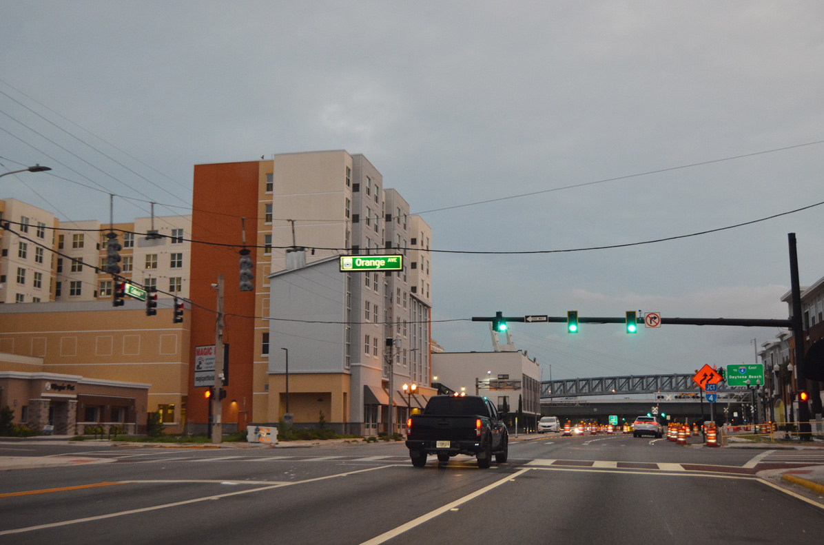
| Colonial Drive proceeds west along Park Lake to the traffic light with Highland Avenue. 03/31/18 |
|
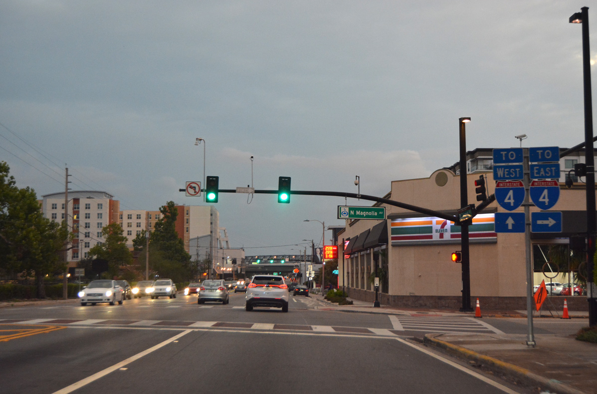
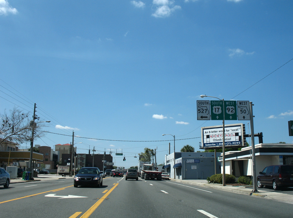
| Magnolia Avenue flows north from Downtown Orlando to become SR 527 at SR 50 (Colonial Drive). SR 527 leads a half mile north to Lake Ivanhoe and an eastbound entrance ramp for Interstate 4. 06/04/19 |
|
| Orange Avenue represents the southbound half of the couplet with Magnolia Avenue through the Orlando central business district. Both streets were formerly a part of SR 527, which was decommissioned south from SR 50 to Gore Street. 03/21/08 |
|
| The northern leg of SR 527 (Orange Avenue) heads south from Winter Park to U.S. 17-92/SR 50 (Colonial Drive). SR 527 resumes south from Gore Street to Edgewood, Pine Castle and SR 482 (McCoy Road / Sand Lake Road). 03/31/18 |
|
| Orange Avenue flows south from Colonial Drive with four lanes to Jefferson Street, and three lanes from there to Downtown Orlando City Hall and Lake Lucerne. 06/04/19 |
Page Updated 06-06-2019.


 South
South 
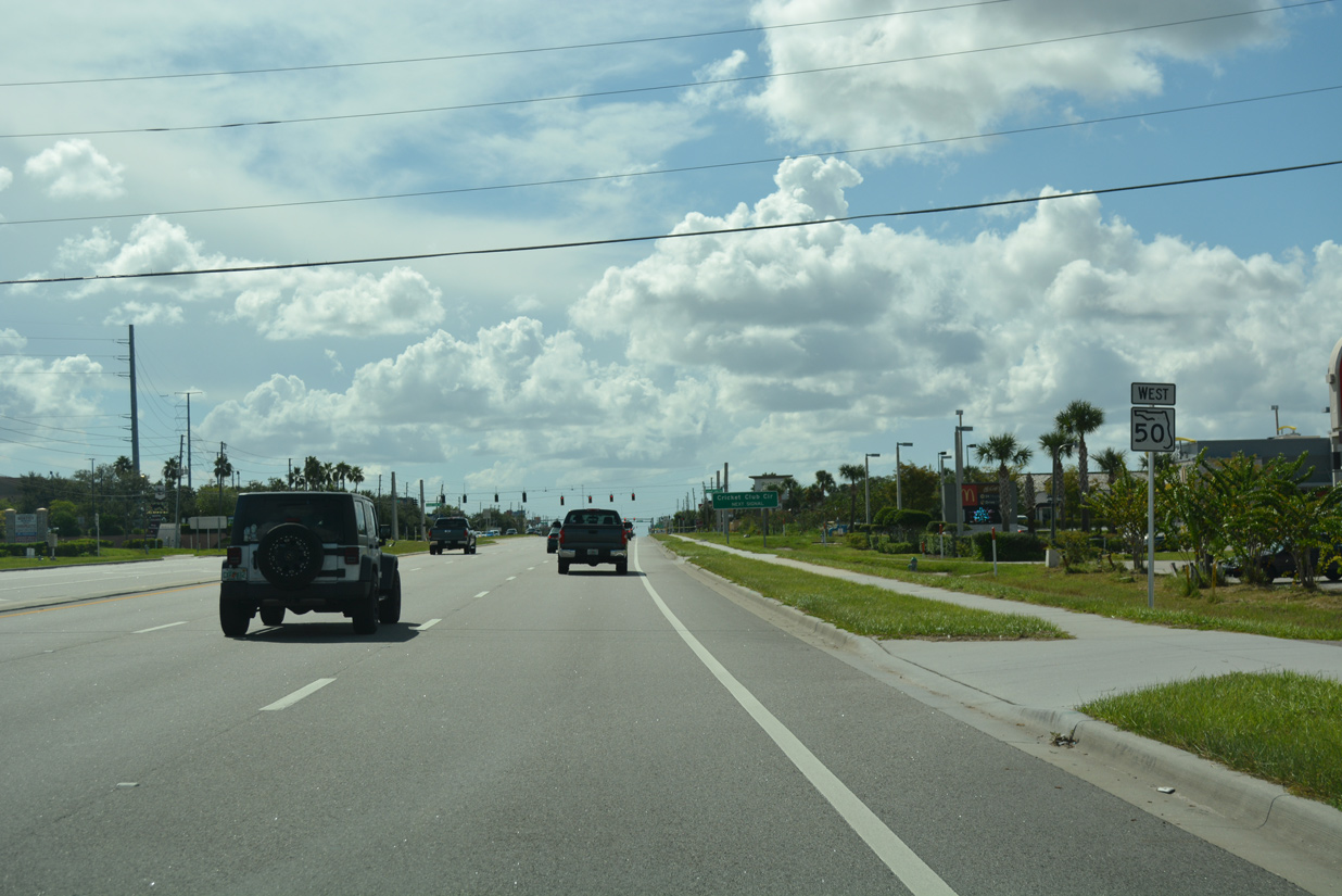
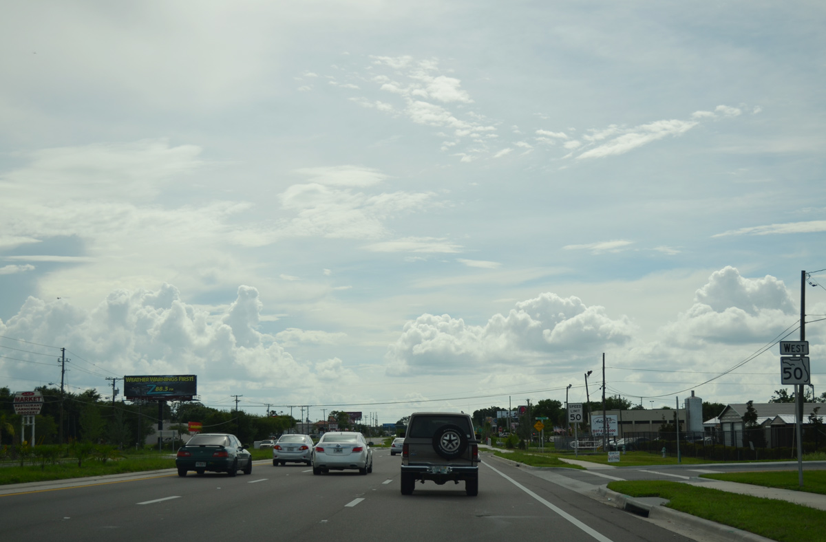
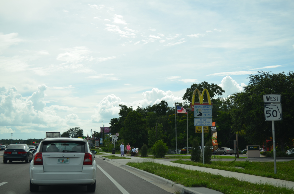
 West
West