|
| U.S. 61 begins at the U.S. 90 turn from Tulane Avenue onto Broad Avenue near Mid-City, New Orleans. Tulane Avenue continues as a four lane divided boulevard from U.S. 90 to Airline Drive and Interstate 10. 11/20/08 |
|
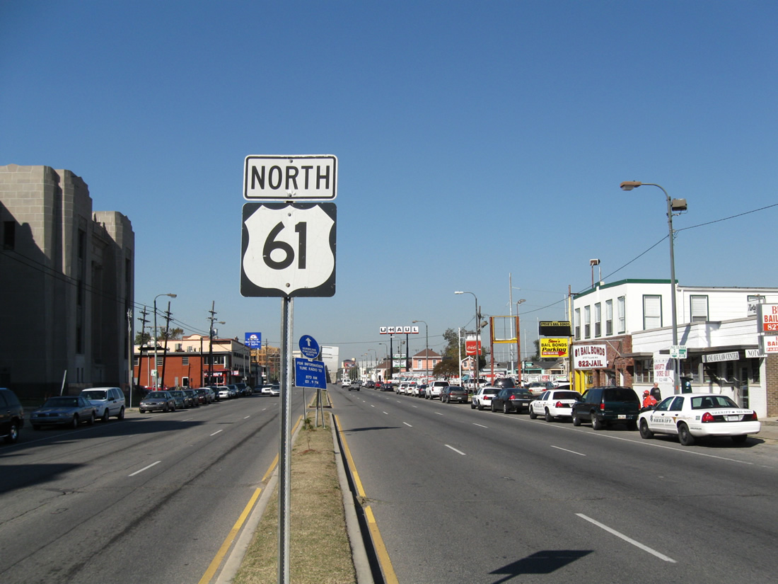
| The first northbound U.S. 61 shield stands within the narrow median of Tulane Avenue. Prior to 1990, U.S. 61 extended north to Grand Portage, Minnesota near the Canadian border. The route was truncated southward at that time to Wyoming, Minnesota. 11/20/08 |
|
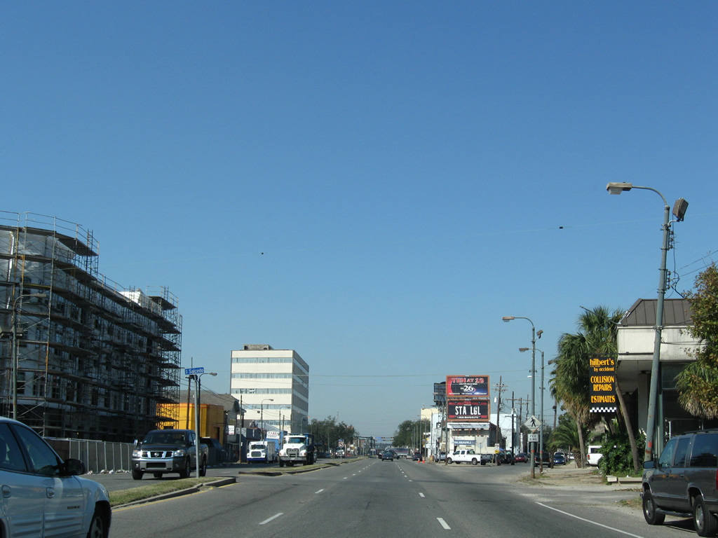
| Four blocks north of U.S. 90 along Tulane Avenue at Salcedo Street. Under construction at the time was the Crescent Club upscale apartment community along the southbound side. 11/20/08 |
|
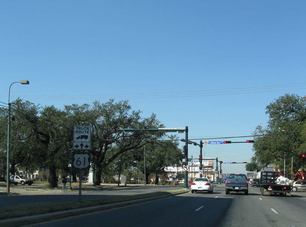
| The second shield of U.S. 61 northbound precedes the intersection with Jefferson Davis Parkway, a tree lined parkway connecting the Gert Town and Mid-City neighborhoods. 11/20/08 |
|
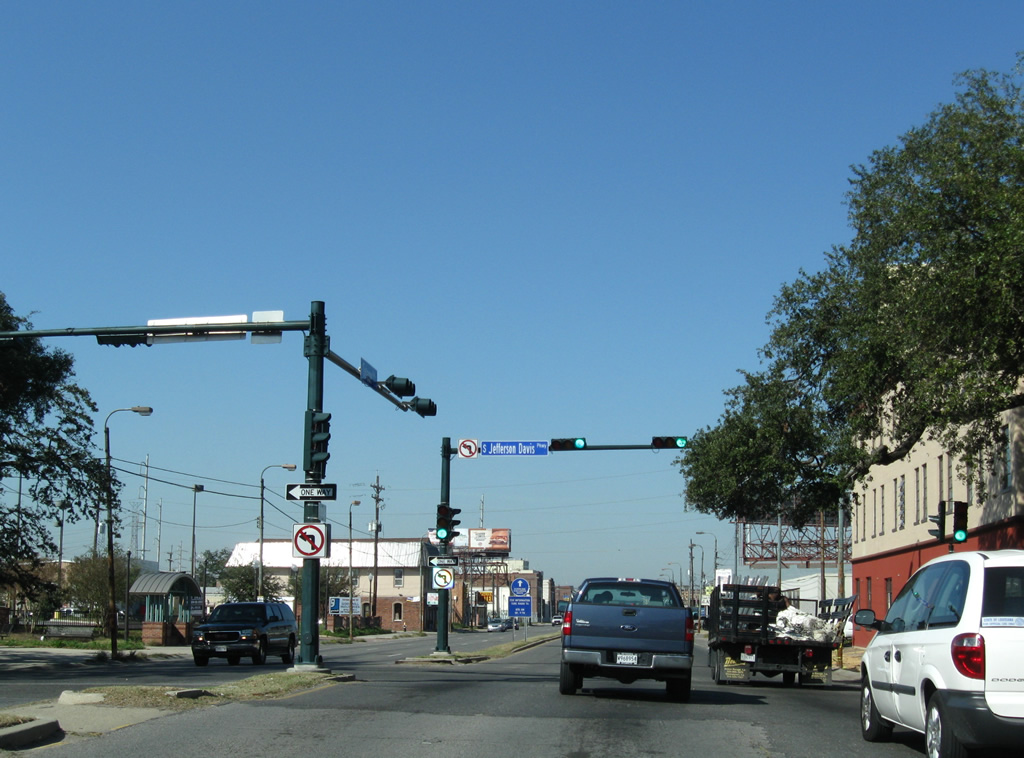
| Left turns are prohibited from U.S. 61 (Tulane Avenue) at Jefferson Davis Parkway. Drivers bound for the parkway west must make a Michigan Left utilizing adjacent D'Hemecourt Street. 11/20/08 |
|
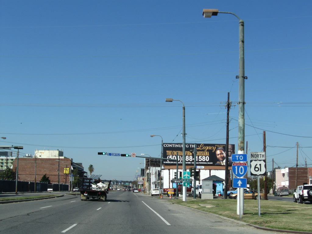
| U.S. 61 northbound shield and Interstate 10 trailblazer posted along Tulane Avenue north at Cortez Street. Streets crossing U.S. 61 between Jefferson Davis Parkway and Carrollton Avenue are discontinuous to the southwest due to Interstate 10. 11/20/08 |
|
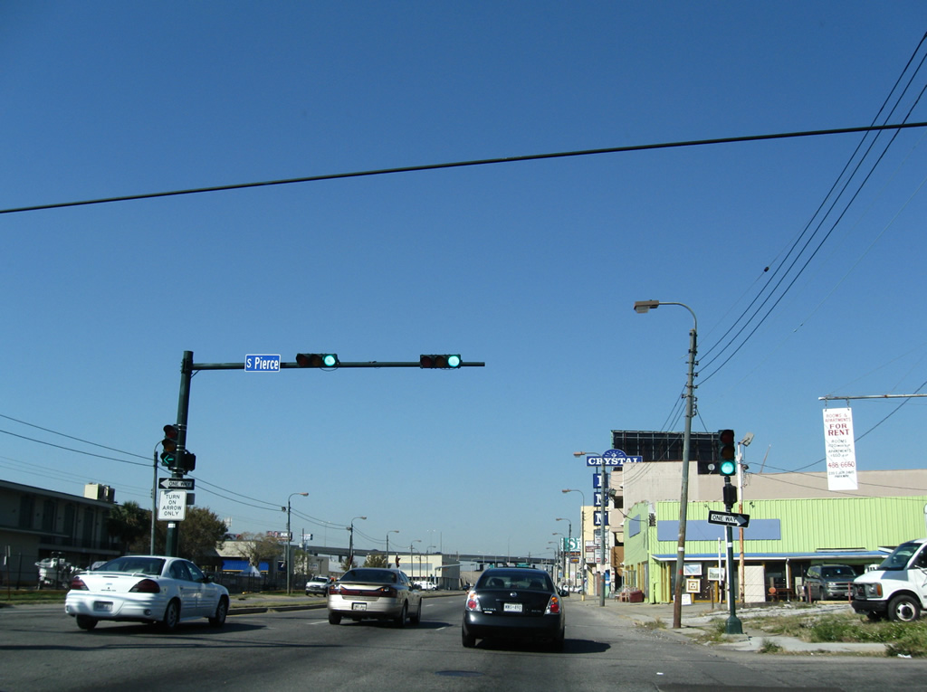
| An unusual signal configuration at Pierce Street includes protected left turns from the number one lane of Tulane Avenue north. There are no dedicated turn lanes for the street that flows outward from U.S. 61 in both directions. 11/20/08 |
|
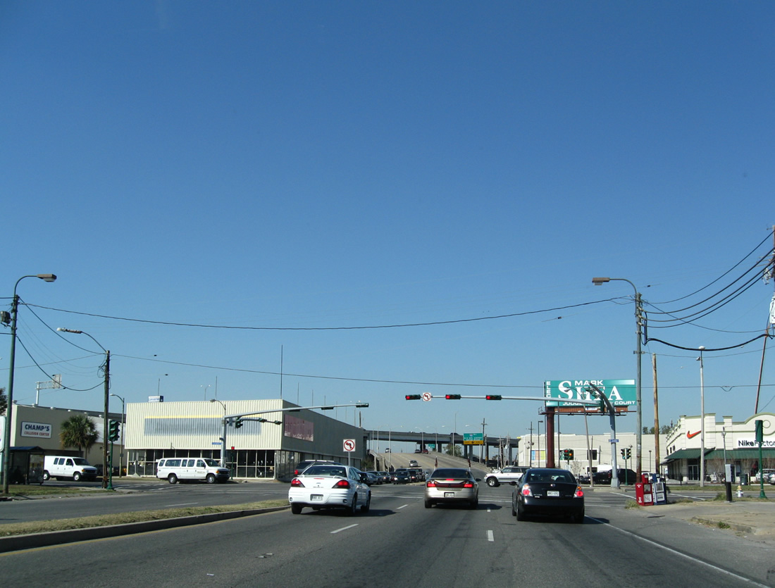
| U.S. 61 next intersects Carrollton Avenue adjacent to Interstate 10 in Mid-City. Carrollton Avenue constitutes a tree-lined boulevard northeast to City Park and southwest to Gert Town and Leonidas. 11/20/08 |
|
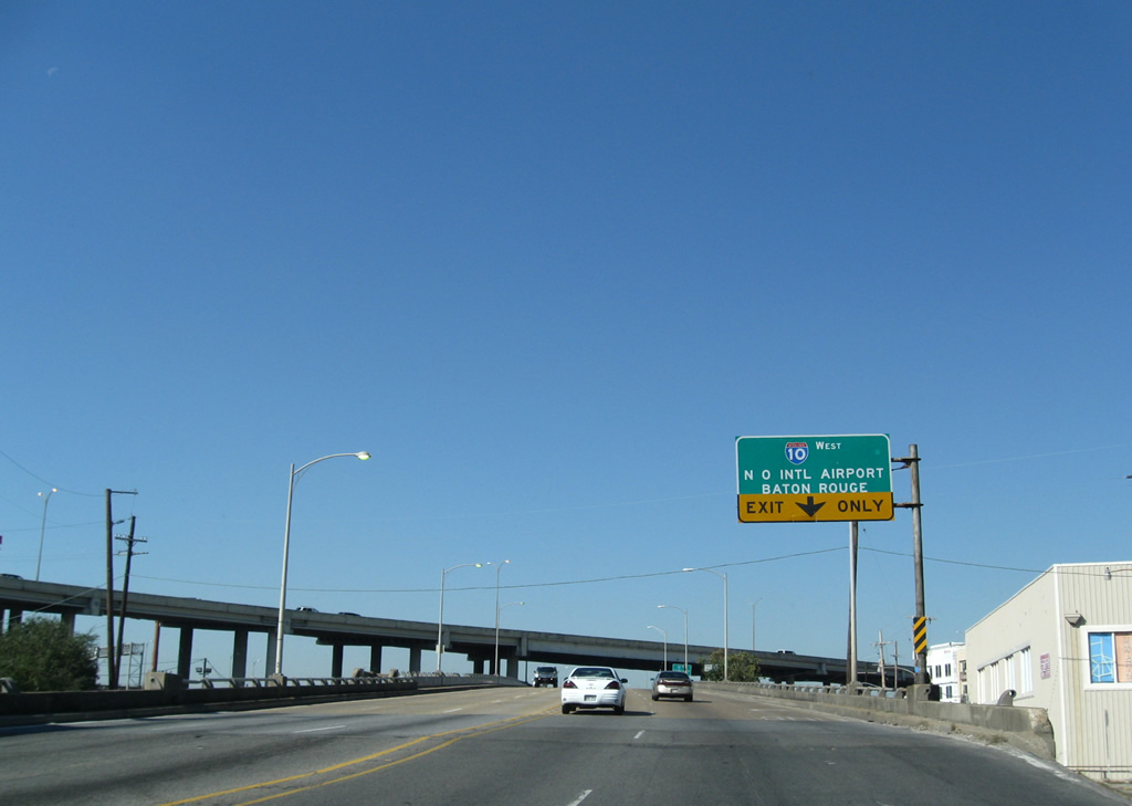
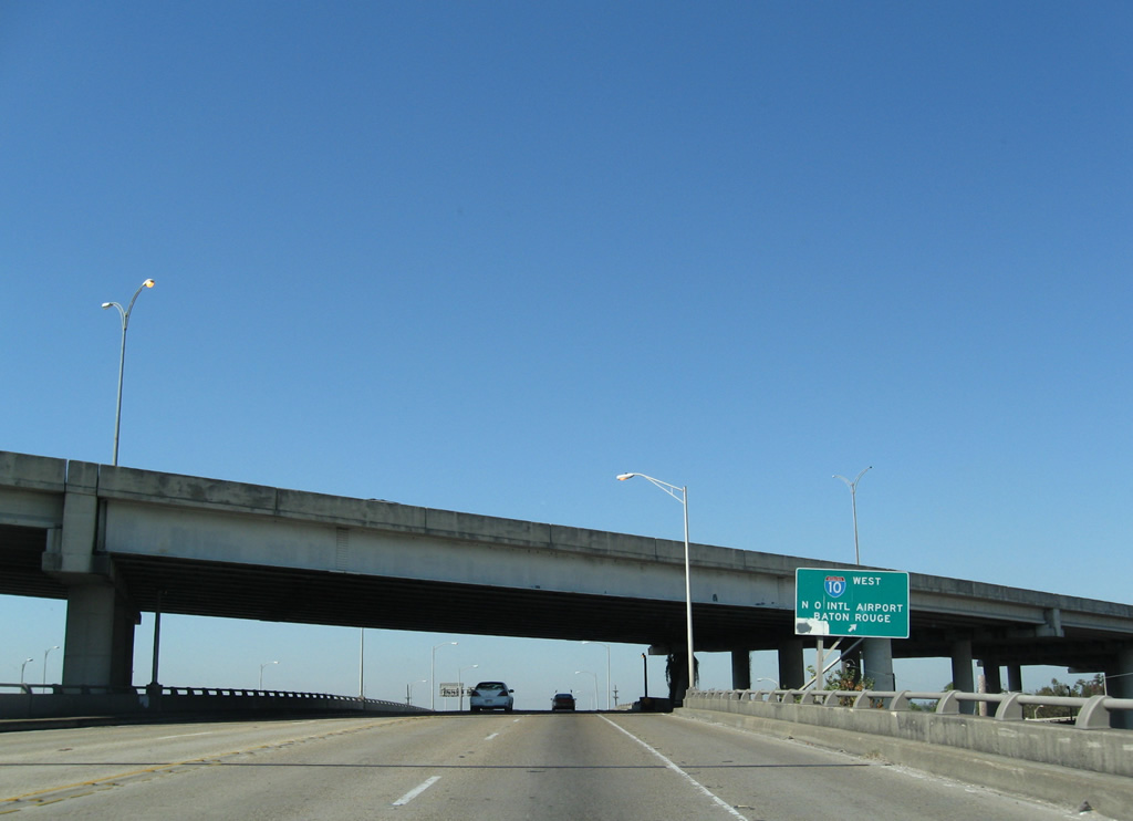
| U.S. 61 ascends to pass over ramps to and from Interstate 10 at an intricate interchange joining the freeway with Tulane Avenue / Airline Drive and Carrollton Avenue. Northbound U.S. 61 has a direct ramp onto I-10 west to Metairie and Louis Armstrong New Orleans International Airport (MSY). 11/20/08 |
|
| The first meeting of Interstate 10 and U.S. 61 is one of two in Louisiana. The two routes parallel one another from New Orleans and Baton Rouge and next cross paths near Sorrento. 11/20/08 |
|
| U.S. 61 turns westward from Interstate 10 onto Airline Highway. Traffic lowers from the elevated roadway below I-10 to meet the westbound on-ramp from I-10 ahead of Monroe Street within the Dixon neighborhood of the city. 11/20/08 |
|
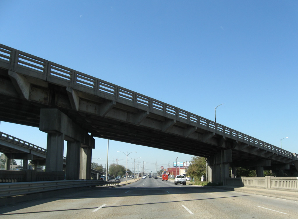
| A pair of overpasses carry Palmetto Street above U.S. 61 (Airline Highway) as the eight lane arterial crosses Palmetto Canal below. An on-ramp connects U.S. 61 south with Palmetto Street south. 11/20/08 |
|
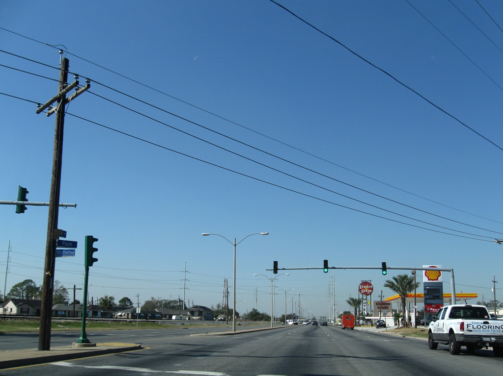
| A Canadian National Railroad line lines the south side of U.S. 61 from Interstate 10 west to Metairie. The railroad line separates U.S. 61 from the Hollygrove street grid to the south. Mistletoe and Palm Streets come together on the north side of U.S. 61 at this traffic light. 11/20/08 |
|
| U.S. 61 (Airline Highway) exits Orleans Parish for Jefferson Parish just beyond the intersection with Cecil Street. 11/20/08 |
|
| L & A Road splits into two prongs below the adjacent railroad and connects with U.S. 61 (Airline Drive) immediately west of New Orleans. The road serves a large railroad yard and industrial park sandwiched between Airline Drive and LA 3139 (Earhart Expressway). 11/20/08 |
|
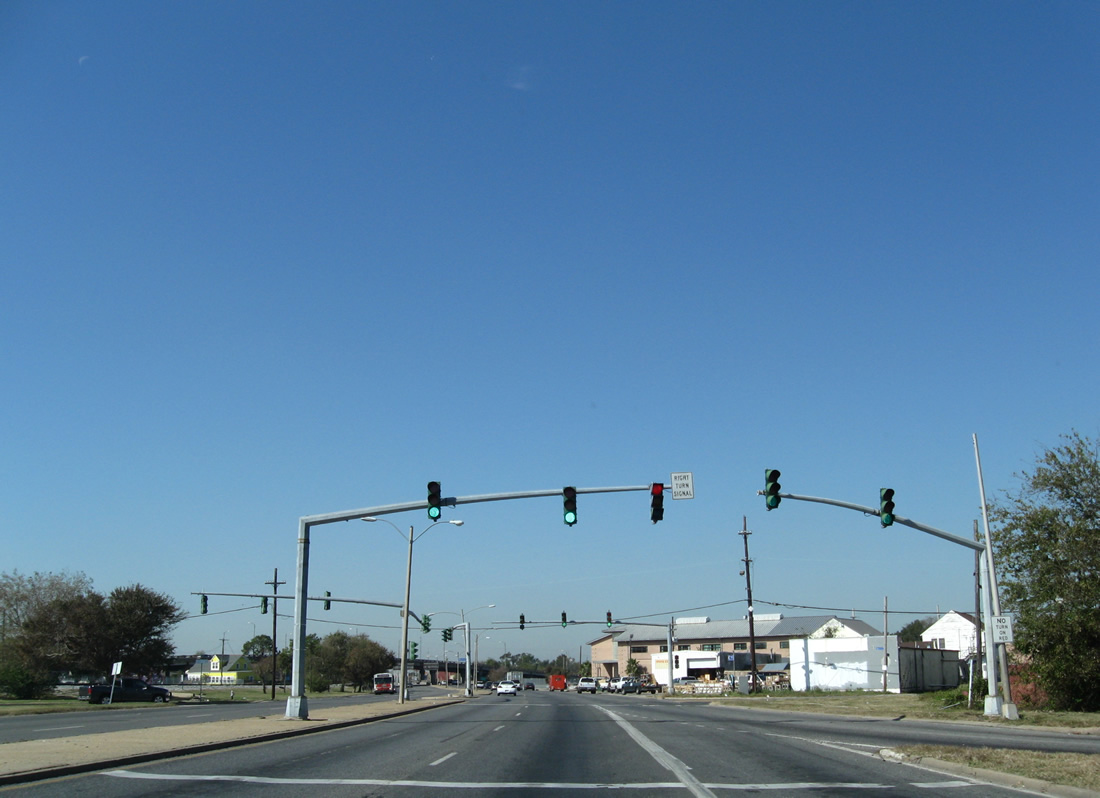
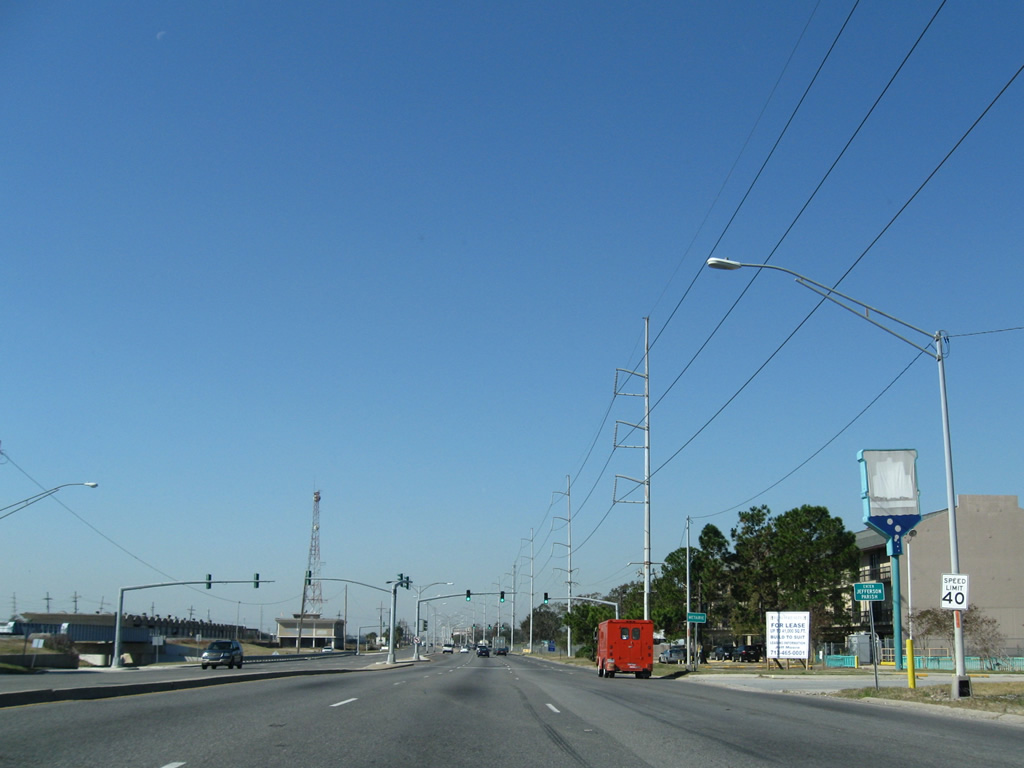
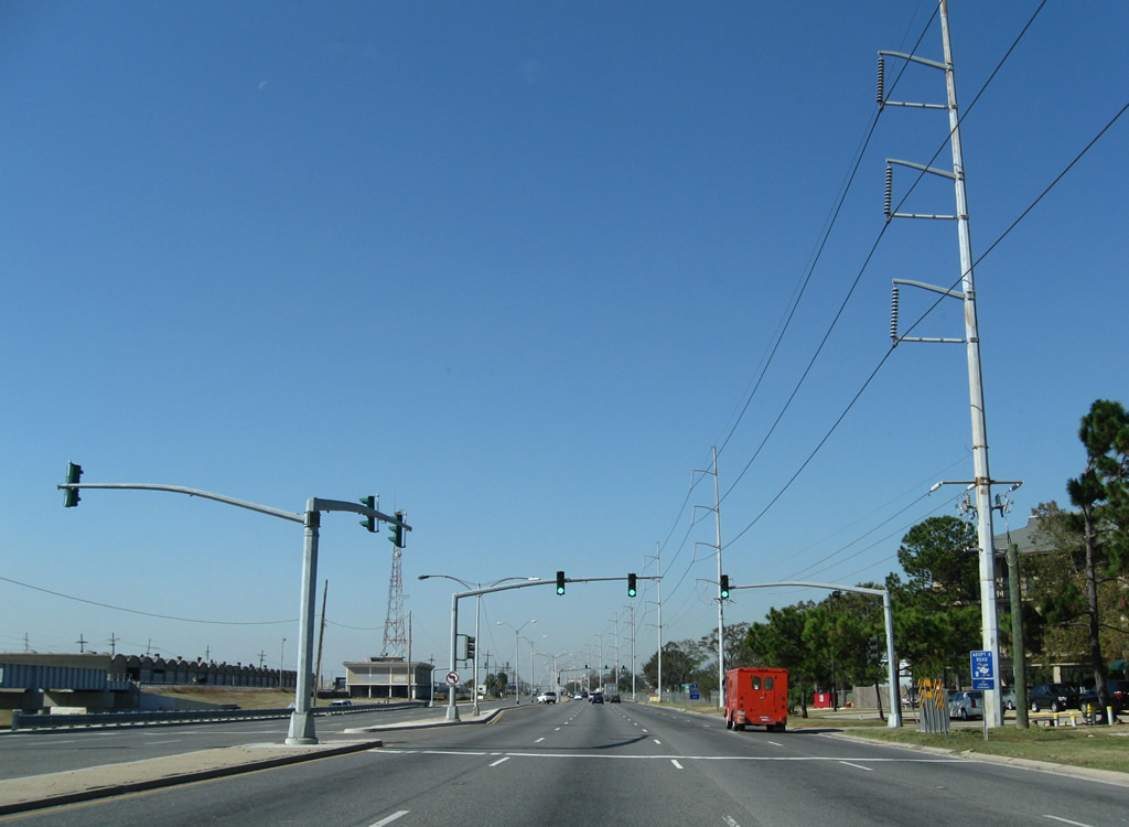
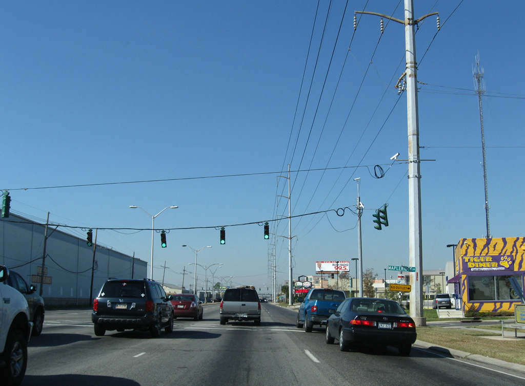
| Mapleridge Drive provides the only access point to the Maple Ridge Park subdivision north of U.S. 61 (Airline Drive) at this traffic light. U.S. 61 gains commercial frontage from this intersection westward through Metairie. 11/20/08 |
|
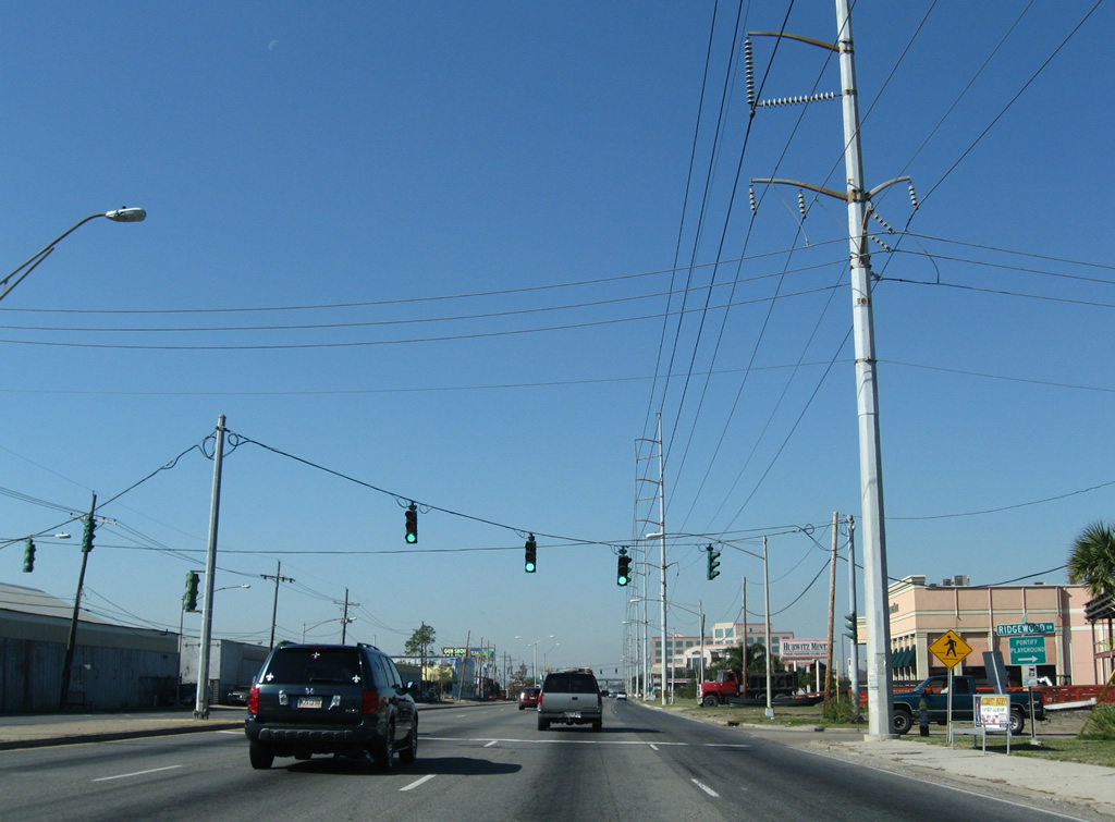
| Ridgewood Drive stems northeast from U.S. 61 to the Old Metairie community. 11/20/08 |
|
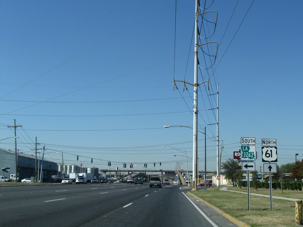
| LA 3262, decommissioned by 2011, followed Labarre Road 0.24 miles south to the aforementioned industrial area off L & A Road. Northward the state highway used to continue to LA 611-9 (Metairie Road). 11/20/08 |
|
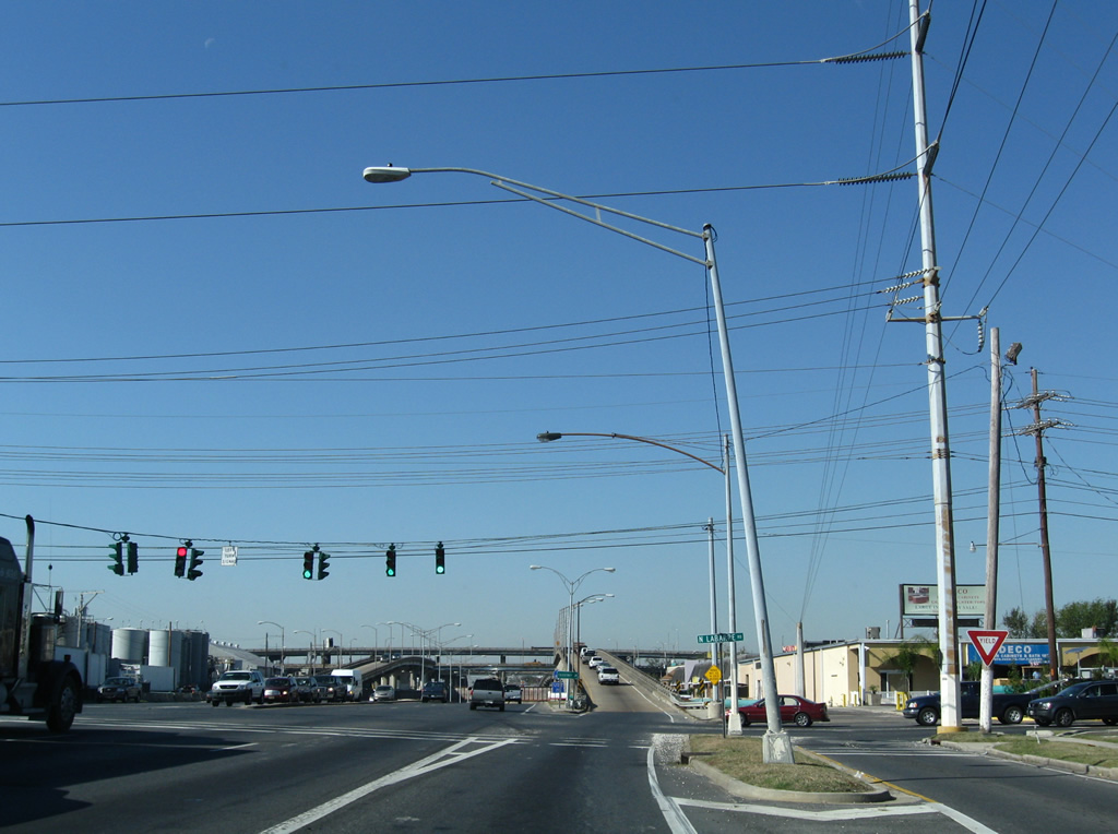
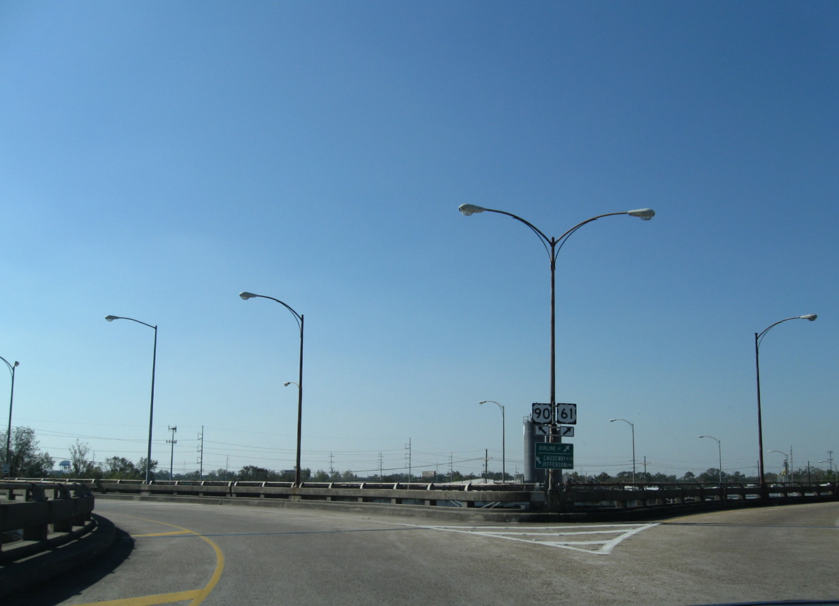
| Just beyond the intersection with Labarre Road is the elevated circle interchange between U.S. 61 (Airline Drive) and Causeway Boulevard (LA 3046 south). Two lanes peel away from U.S. 61 for both Labarre Road north and Causeway Boulevard at the former LA 3262. 11/20/08 |
|
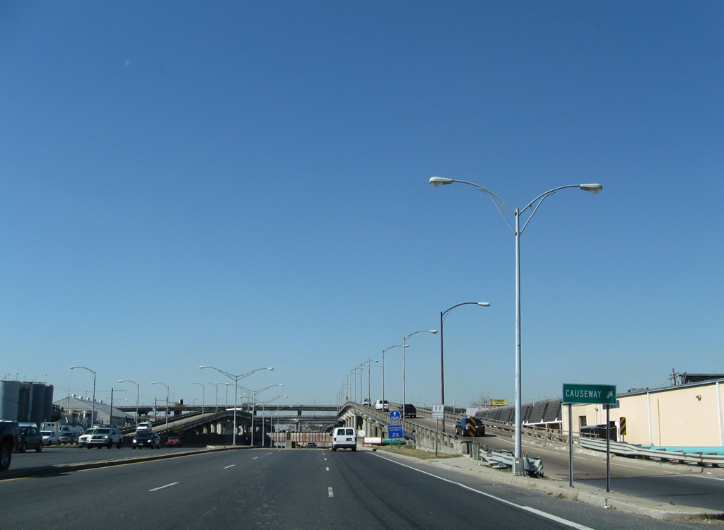
| All drivers bound for Causeway Boulevard utilize a single lane ramp from U.S. 61 to an elevated traffic circle above U.S. 61 (Airline Drive). 11/20/08 |
|
| Entering the traffic circle above the U.S. 61 mainline, traffic meets the northbound ramp to Causeway Boulevard. 11/20/08 |
|
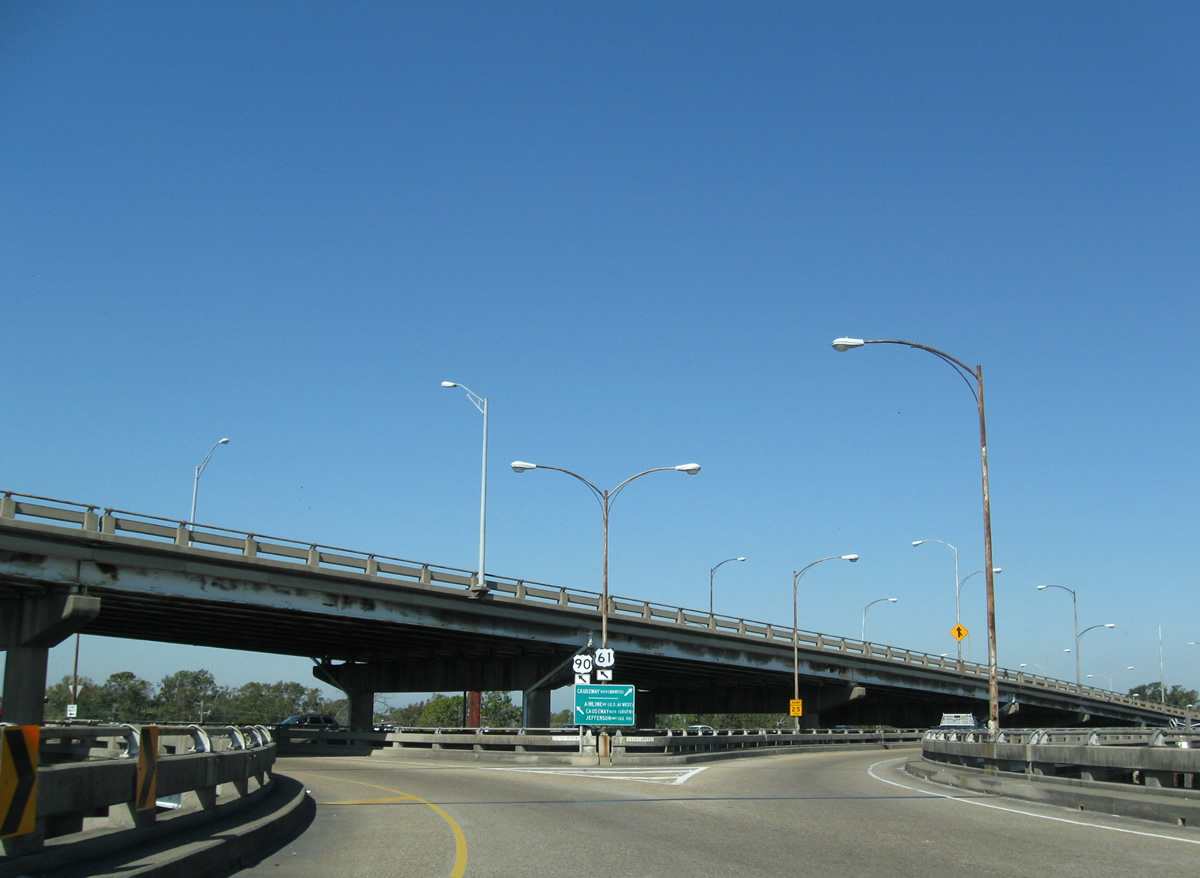
| A return ramp descends next to U.S. 61 (Airline Drive) north as the circle heads south to ramps with LA 3046 (Causeway Boulevard) south to U.S. 90 (Jefferson Highway) and U.S. 61 south. 11/20/08 |
|
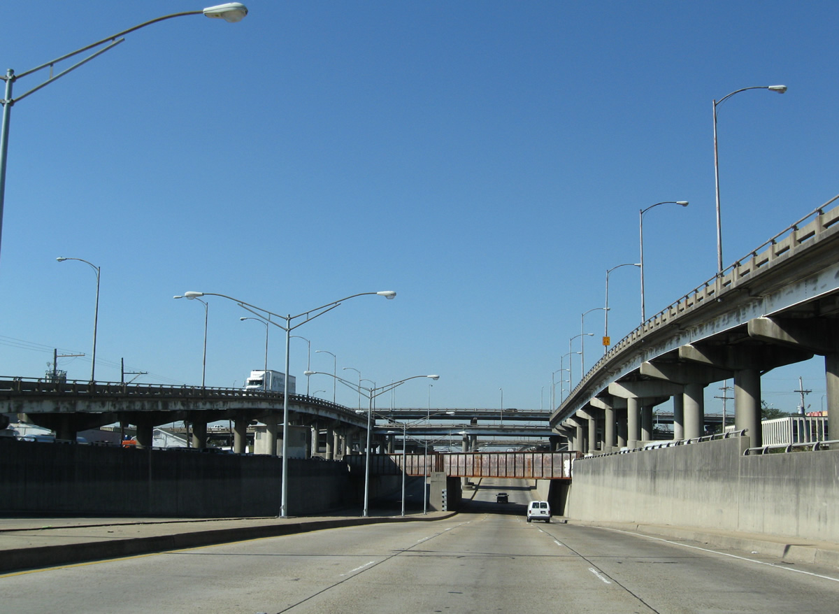
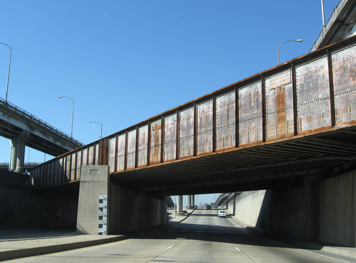
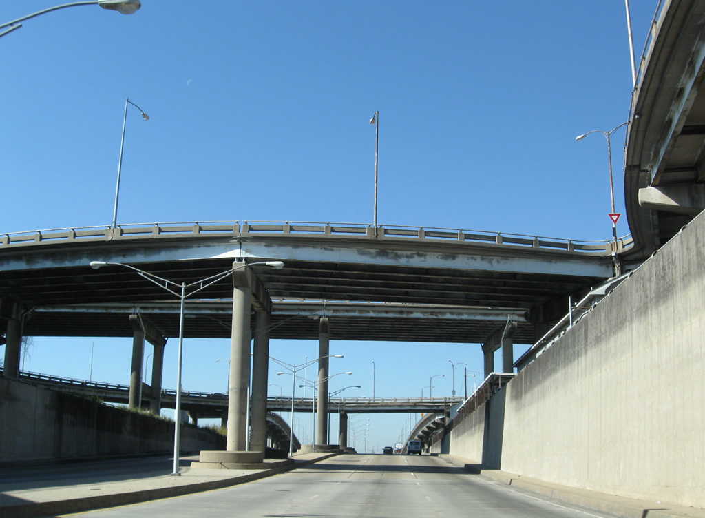
| Six lanes of Airline Drive sink below the elevated rotary with Causeway Boulevard and associated ramps. Causeway Boulevard south travels a viaduct to U.S. 90 (Jefferson Highway). This stretch of roadway doubles as the 0.92 mile long LA 3046. Northward the road continues to Interstate 10 and Lake Pontchartrain Causeway to Mandeville and Covington.
A Norfolk Southern Railroad line passes through the interchange on a 1959 bridge. Causeway Boulevard above was completed in 1957. 11/20/08 |
|
| Old LA 3621 north, formerly a 0.32 mile route, and LA 611-9 south come together at the U.S. 61 (Airline Drive) intersection with Shrewsberry Road and Severn Avenue. LA 3261 (Shrewsberry Road) spurred south to an industrial area alongside the NS Railroad. Severn Avenue connects LA 611-9 with adjacent Metairie Road, the state highway's alignment northeast 3.5 miles through Metairie to Interstate 10 (Exit 231A) at City Park Avenue in New Orleans. 11/20/08 |
|
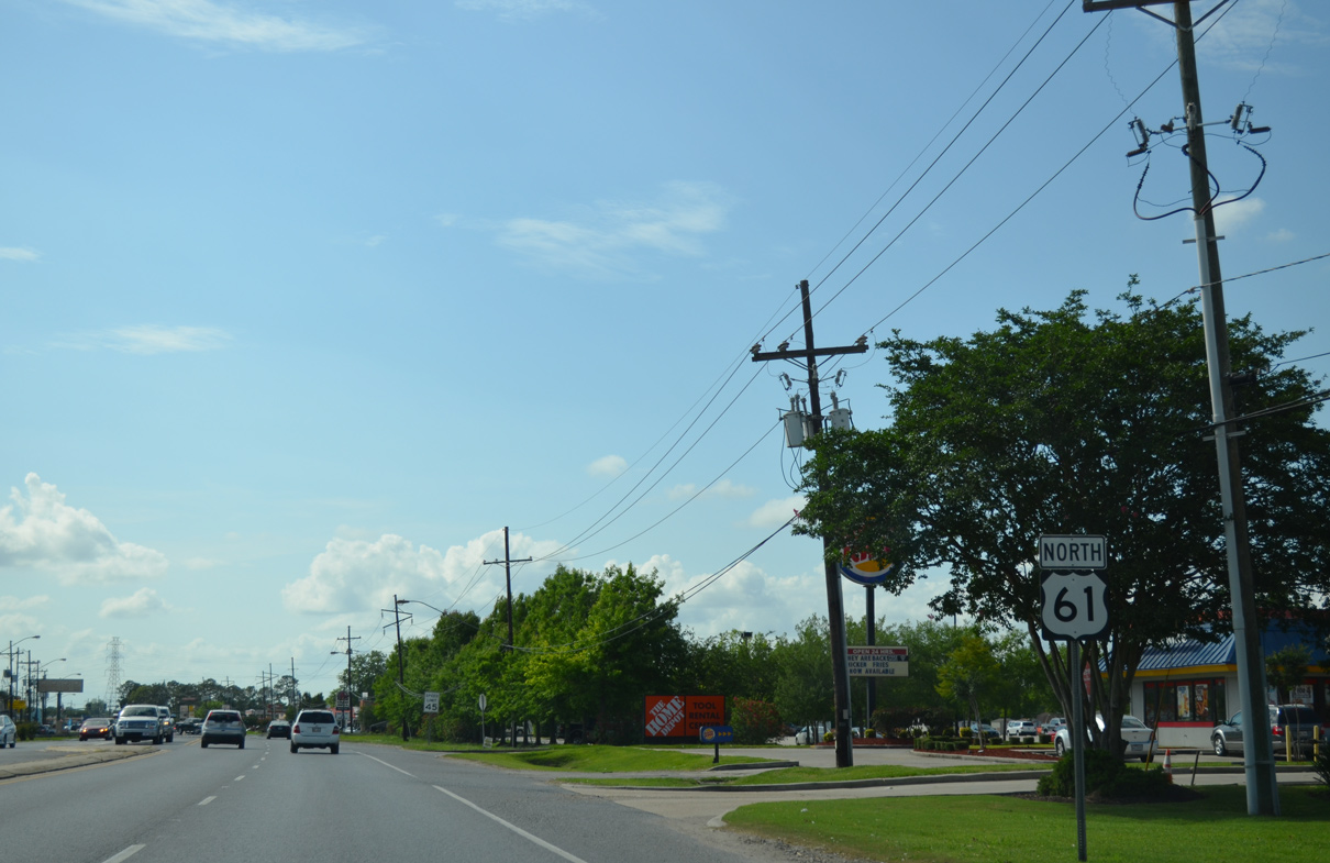
| Reassurance shield for U.S. 61, the first in Jefferson Parish, posted after LA 611-9. 11/20/08 |
|
| Leaving the busy intersection with Clearview Parkway (LA 3152) along U.S. 61 (Airline Drive) north. 11/20/08 |
|
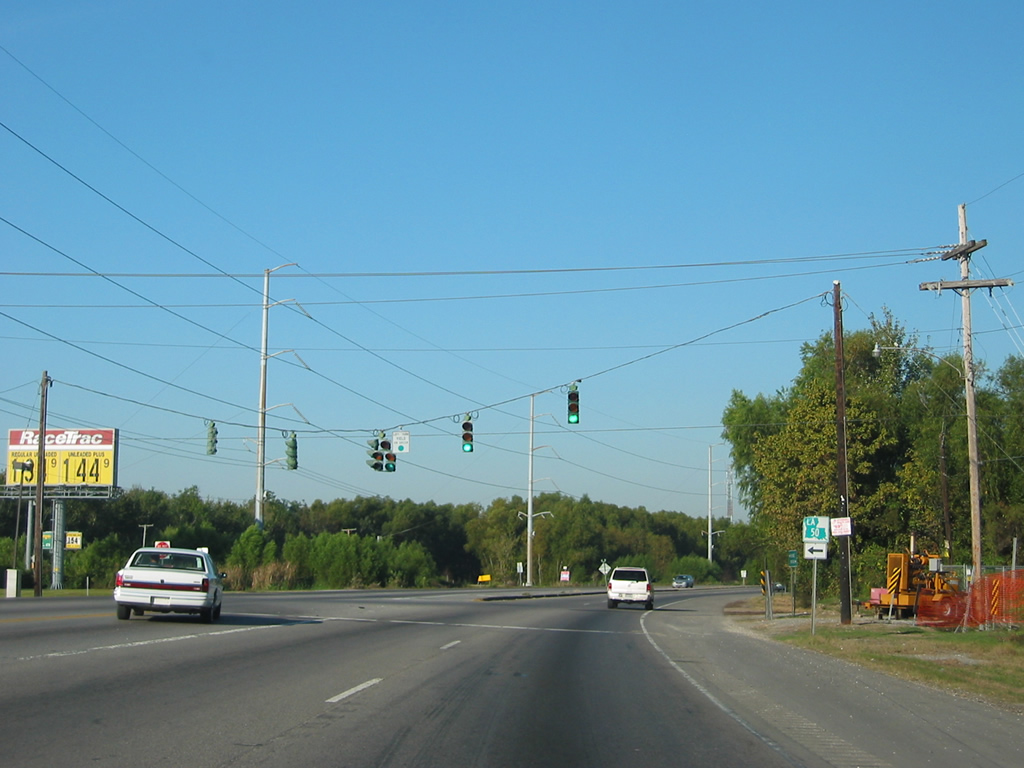
| Traveling Airline Highway west from Kenner, U.S. 61 enters Almedia and meets the north end of LA 50 (Almedia Road). Almedia Road provides one of two connections between U.S. 61 and LA 48 (River Road) at St. Rose. 10/23/03 |
|
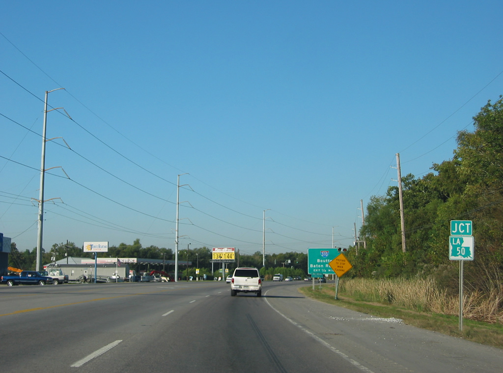
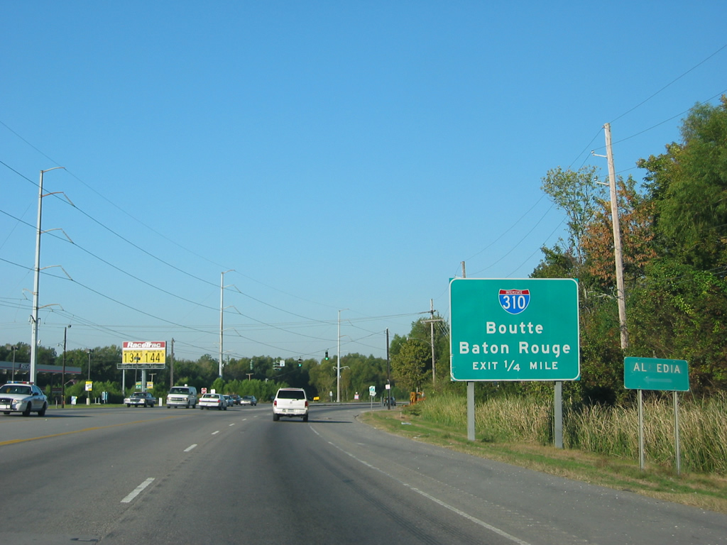
| The multilevel interchange between Interstate 310 and U.S. 61 (Airline Highway) lies just west of the intersection with LA 50 (Almedia Road). 10/23/03 |
|
| U.S. 61 (Airline Highway) northbound at LA 50 (Almedia Road). LA 50 travels just 0.85 miles between Airline Highway and LA 48 along the Mississippi River. 10/23/03 |
|
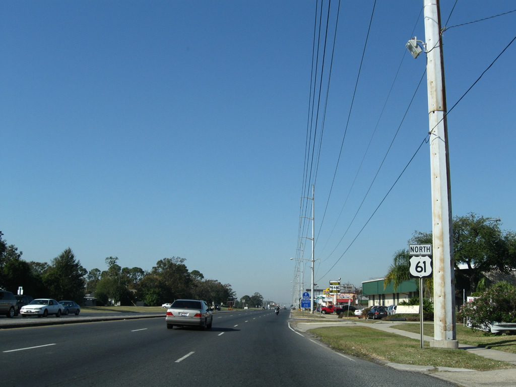
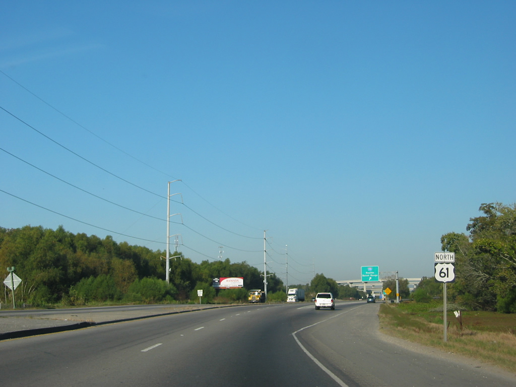
| U.S. 61 northbound reassurance shield posted after the intersection with LA 50 (Almedia Road). 10/23/03 |
|
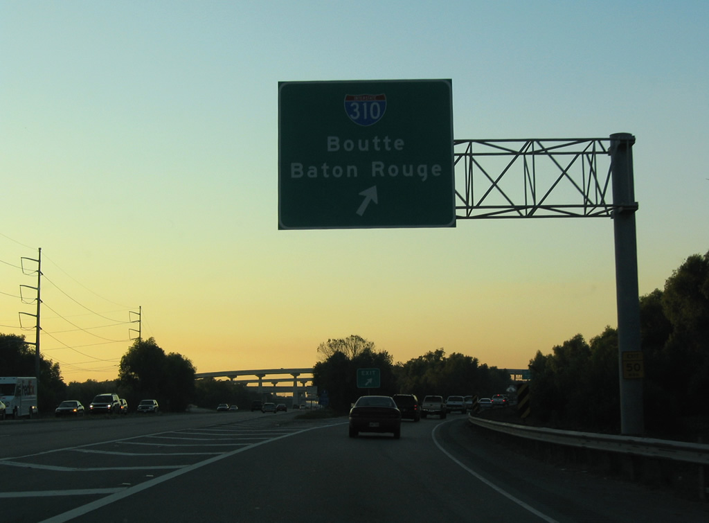
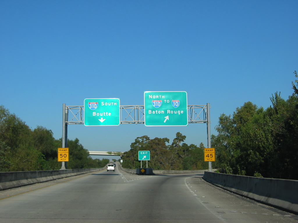
| U.S. 61 (Airline Highway) and Interstate 310 converge at a four-level interchange over prime tupelo and cypress swamp. Because of the wetlands below, all ramps are elevated. 10/22/03 |
|
| Traffic to Interstate 310 departs in unison in both directions of U.S. 61. 11.5 miles in length, I-310 links U.S. 90 at Boutte with I-10 nearby. 10/23/03 |
|
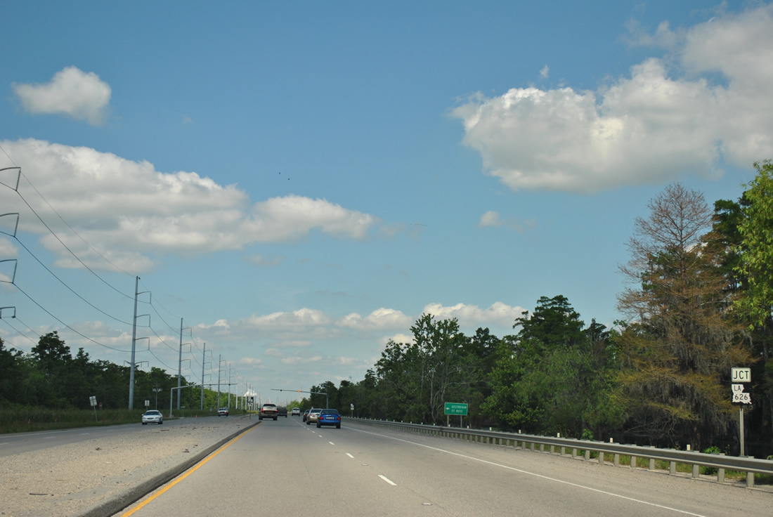
| U.S. 61 (Airline Highway) meets the north end of LA 626 just west of Interstate 310. 04/20/12 |
|
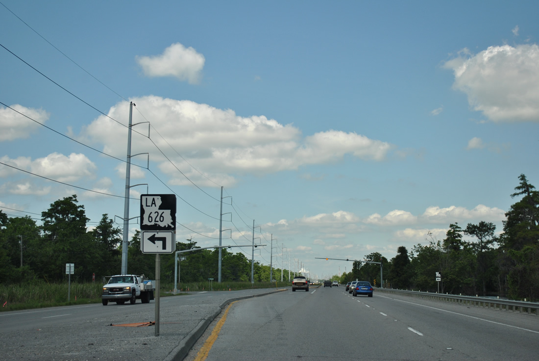
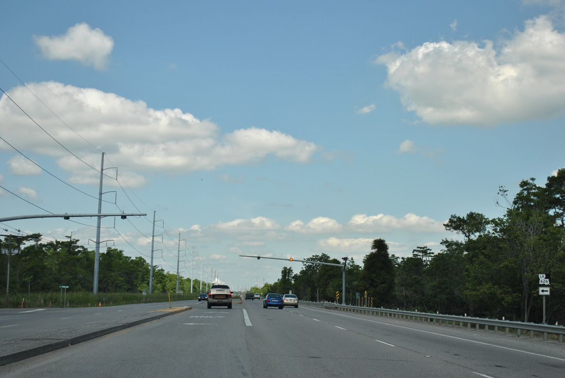
| A set of flashers operate along U.S. 61 at the intersection with LA 626. 04/20/12 |
|
| LA 626 runs 2.6 miles southeast to St. Rose and LA 48 (River Road). LA 48 continues west from there to Destrehan. 04/20/12 |
|
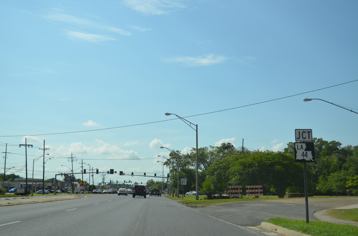
| U.S. 61 north enters the unincorporated community of LaPlace west of the Bonnet Carre Spillway. Approaching LA 44 (Main Street) west, U.S. 61 splits with Circle Drive to Main Street north at a wye intersection. Main Street was a part of U.S. 51 until 1986, when it was realigned into a new four lane alignment to the north. 05/09/15 |
|
| LA 44 takes Main Street south to 5th Street west through LaPlace to join the Great River Road. The state highway straddles the north banks of the Mississippi River northwest to Burnside. It crosses U.S. 61 again at Gonzales. 05/09/15 |
|
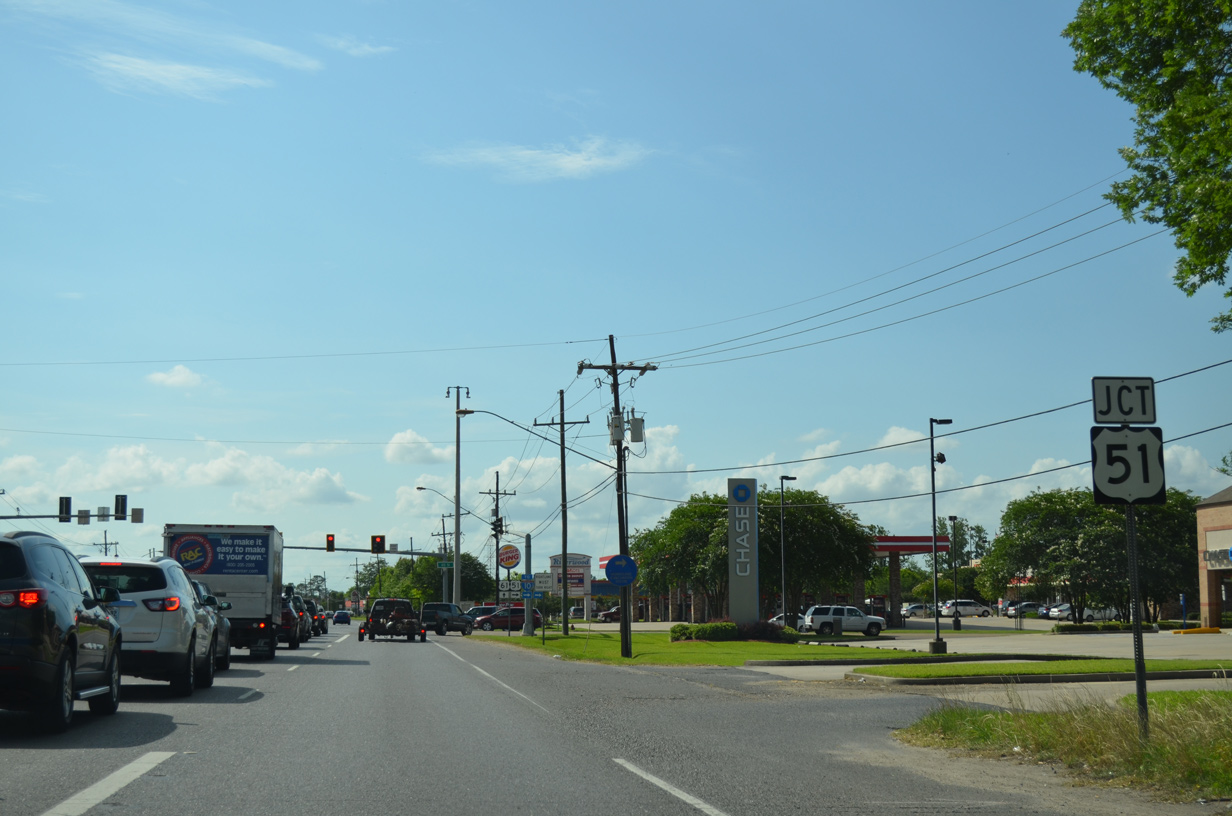
| The adjacent intersection of U.S. 61 north is the southern terminus of U.S. 51. U.S. 51 parallels the I-55 corridor north to Memphis and I-39 from Normal, Illinois to Wausau, Wisconsin as part of six-state route to the Great Lakes region. 05/09/15 |
|
| U.S. 51 provides one of two links between U.S. 61 and LaPlace with Interstate 10 to the north. U.S. 51 combines with I-55 along an elevated route north to Manchac and Ponchatoula. 05/09/15 |
|
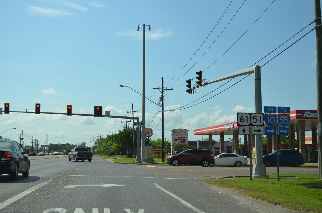
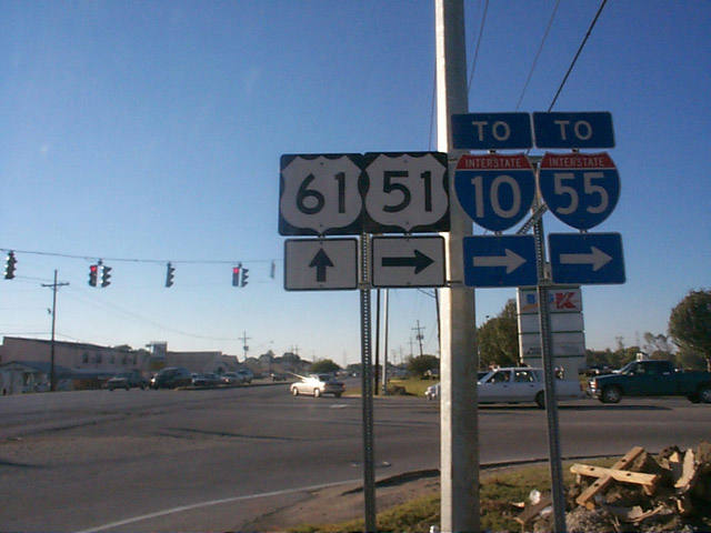
| A previous shield assembly posted at the U.S. 61 junction with U.S. 51 north in LaPlace. Mast arm based traffic lights replaced the span wire assembly here and a gas station was added to the northwest corner. 11/06/99 |
|
| Confirming marker posted for U.S. 61 north after U.S. 51. Big box stores and other retail line the four lane arterial west to LA 3188 (Belle Terre Boulevard). 05/09/15 |
Page Updated 10-04-2016.

 North
North