
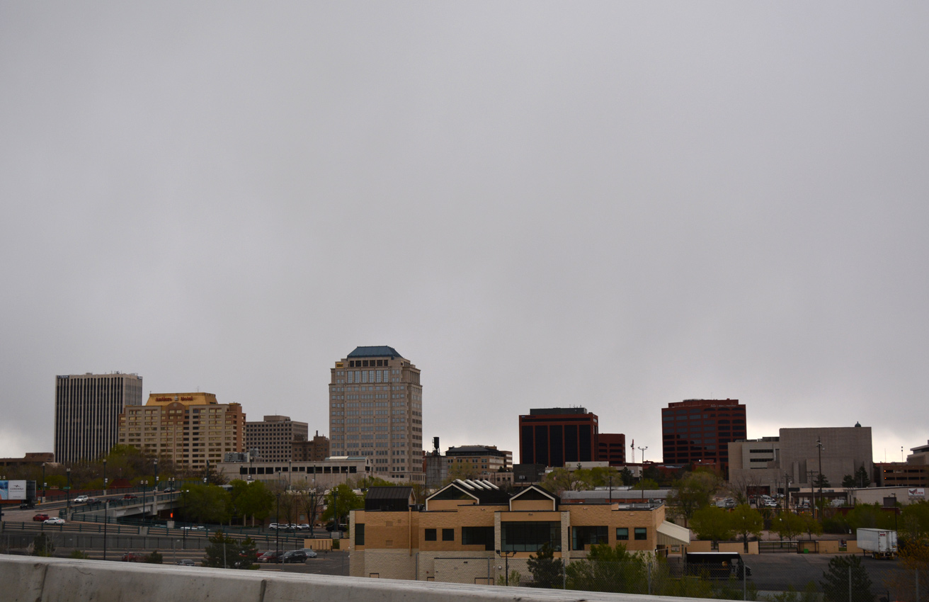
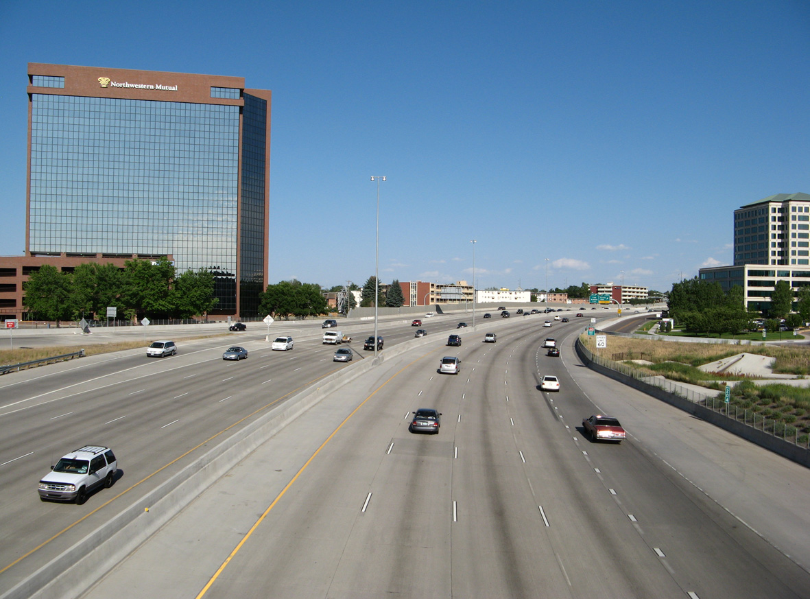
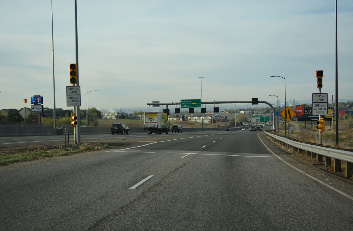
Interstate 25 arcs around the western periphery of the Colorado Springs central business district alongside Fountain Creek. 04/28/17
Part of the Camino Real High Priority Corridor, Interstate 25 connects Mexico with Canada via ports at El Paso and a connection with I-90 at Buffalo Wyoming to I-15 for Canada. The freeway underwent several improvements as part of this corridor strategy, including the massive T-REX improvement project in Denver, upgrades through Colorado Springs and ongoing expansion of the freeway to six lanes along the Front Range.
Once completed in Colorado, Interstate 25 replaced U.S. 87. Officially the US highway is not inventoried in Colorado, as the Colorado Department of Transportation (CDOT) attributes all mileage along the implied concurrency to I-25.
Interstate 25 Colorado Guides
North
Business Routes
The I-25 North Express Lanes: Mead to Fort Collins Project addresses growing traffic congestion by adding a general travel lane and an Express Lane in each direction south from SH 14 / Exit 269. Interchanges will also be improved, including the conversion of the parclo at U.S. 34 into a multi level systems exchange. Work began on September 10, 2018 from Crossroads Boulevard to SH 392.1 Costing $302 million, construction runs through 2023.
I-25 was the first mainline Interstate highway to be completed in Colorado. The first segment of freeway built in Colorado is part of I-25 as well. Known as the Valley Highway (U.S. 87), the first two mile section began construction in August 1948, and was completed in 1950. By 1958, the Valley Highway through the Denver metropolitan area was finished, only two years after the Interstate Highway Act was signed by President Eisenhower.
Another pre-Interstate section of Interstate 25 grandfathered into the system is a 9.2 mile segment of freeway in Pueblo. Construction there began in 1949 and was completed in 1958.
A notable milestone in the construction process was the extension of Interstate 25 into Wyoming on October 11, 1964. This date marked the first occasion when a Colorado Interstate crossed state lines. Opening at that time was a 26 mile long section of Interstate 25 north from Wellington.
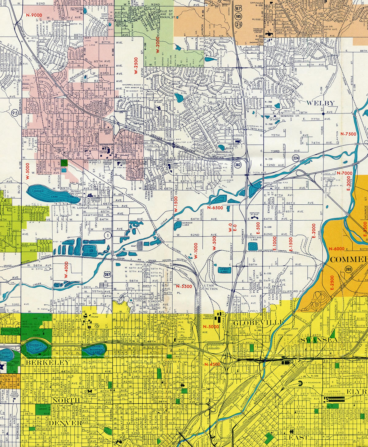
Early 1960s map showing the course of Interstate 25 (Valley Highway) north from the Mousetrap Interchange (junction with I-70) in Denver to Thornton.
| Segment | Location | Mileage (Approximate) | Completion |
|---|---|---|---|
| Trinidad/Raton Pass | Raton Pass at New Mexico Line north to south edge of Trinidad | 13 miles | 1966 |
| Trinidad | Elevated portion, approximately three miles in length | 3 miles | 1963 |
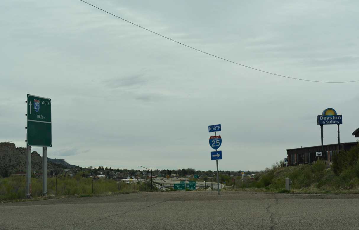
| Trinidad to Walsenburg | Trinidad north to Walsenburg. This was the last segment of I-25 to be completed in Colorado; it was dedicated on 9/21/69 | 21 miles | 1969 |
| Walsenburg | Constructed as the Walsenburg Bypass | 3 miles | 1964 |
| Walsenburg to Colorado City | Connecting the north end of Walsenburg bypass with SH 165 interchange | 22 miles | 1968 |
| Colorado City | SH 165 interchange in Colorado City north to Pueblo Boulevard | 20 miles | 1965 |
| Pueblo | Original urban freeway segment of Interstate 25 near Downtown Pueblo ; includes 0.6 mile long bridge over Arkansas River | 9.2 miles | July 1959 |
| South of Pueblo to Monument | From south of Pueblo to north of Colorado Springs; connected pre-existing segments in Pueblo and Colorado Springs | 67 miles | 1961 |
| Colorado Springs | Original urban freeway segment of Interstate 25 near Downtown Colorado Springs | 12 miles | July 1960 |
| Monument Hill | Monument to Larkspur | 12 miles | 1965 |
| Larkspur to Castle Rock | 9 miles | 1968 | |
| Castle Rock to Denver | Connecting Castle Rock with Valley Highway in Denver | 25 miles | 1963 |
| Denver | Evans Avenue north to 48th Avenue. This urban freeway was first section of Interstate 25 built; it was known as the Valley Highway (U.S. 87) | 11.2 miles | November 1958 |
| Denver Northside | From the north end of the Valley Highway at 48th Avenue to 58th Avenue | 0.5 mile | 1961 |
| Denver north | 58th Avenue to SH 7 | 14 miles | 1963 |
| Longmont Area | SH 7 to SH 66 | 14 miles | 1961 |
| North of Denver | SH 66 to U.S. 34 | 14 miles | 1963 |
| Fort Collins Area | U.S. 34 to Harmony Road (former SH 68) | 8 miles | 1965 |
| Harmomy Road to North of Wellington | Harmony Road in Fort Collins to Buckeye Road; at that time, Interstate 25 became continuous from Walsenburg north to Colorado/Wyoming border | 23 miles | 1968 |
| North Link | From north of Wellington (Buckeye Road) to Colorado-Wyoming Border | 17 miles | October 1964 |
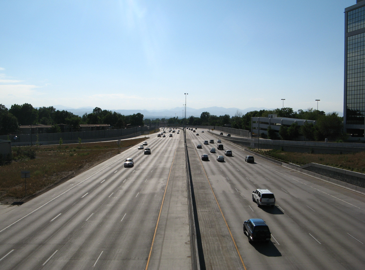
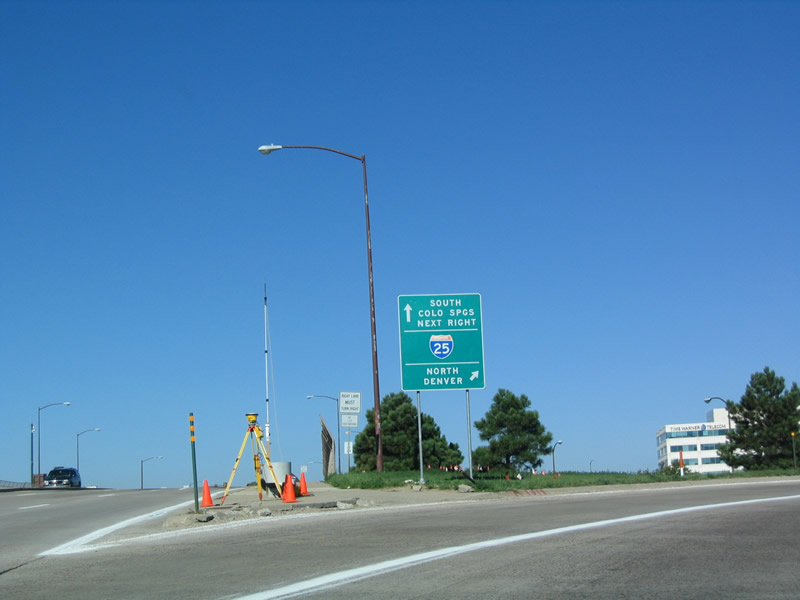
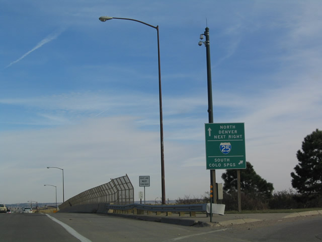
Interstate 25 (Valley Highway) runs west between Cory-Merrill and University Park in Denver from SH 2 (Colorado Boulevard) with eight general travel lanes and two auxiliary lanes. 06/29/08
Interstate 25 curves southeast between the Virginia Village and University Hills neighborhoods in Denver from the exchange with SH 2 (Colorado Boulevard). 06/29/08
 scenes scenes |
 | Exit 13A connects I-25 northbound with Van Buren Street in Trinidad, where grading remains from an entrance ramp closed by 2007. 04/28/17 |
 | Lincoln Avenue westbound at Interstate 25 in Lone Tree, south of Denver. 08/27/04 |
 | The southbound entrance ramp for Interstate 25 from Lincoln Avenue east within the city of Lone Tree. 11/10/03 |
 | A loop ramp connects Lincoln Avenue eastbound with Interstate 25 north to Centennial, Greenwood Village and Denver. This sign was replaced by 2015, with expansion of the ramp to two lanes. 07/04/12 |
 | Huron Street north intersects Thornton Parkway 0.6 miles west of Interstate 25 in the city of Thornton. 04/23/17 |
 | An I-25 trailblazer appears just east of Huron Street along Thornton Parkway. 04/23/17 |
  | Thorton Parkway east at the diamond interchange (Exit 220) with Interstate 25 in Thorton. 04/23/17 |
 | Ramp meters operate along entrance ramps to Interstate 25 in the city of Thorton. 04/23/17 |
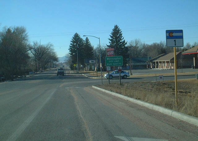 | Southbound SH 1 begins at the exchange (Exit 278) with Interstate 25 in the town of Wellington. SH 1 represents the former alignment of U.S. 87, from when U.S. 87 overlapped with U.S. 287 south along the Front Range into Denver. 02/02/02 |
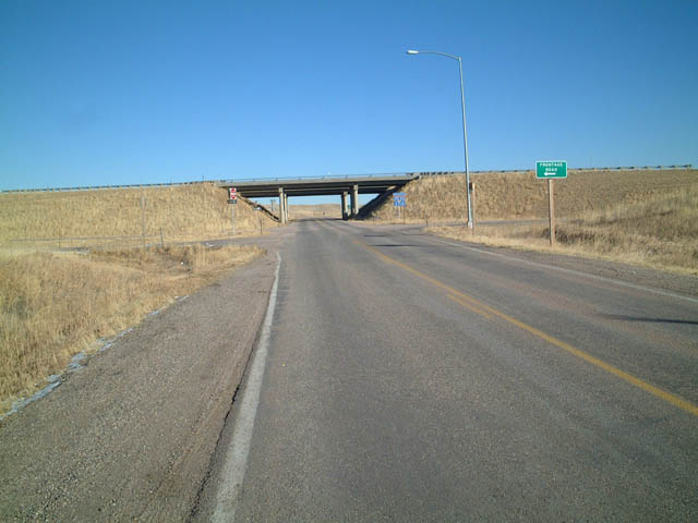 | Eastbound Larimer County Road 82 at the Buckeye interchange along Interstate 25. 02/02/02 |
 | County Road 82 (Buckeye Road) leads west from Interstate 25 nine miles to Buckeye. Larimer County, like most counties in Colorado, utilizes pentagons for its county road signage. 02/02/02 |
- "Gov. Hickenlooper Leads Groundbreaking for I-25 North Express Lanes." Colorado Department of Transportation (CDOT), news release. September 10, 2018.
Photo Credits:
02/02/02, 11/10/03, 08/27/04, 07/04/12, 04/23/17, 04/28/17 by AARoads
Connect with:
Interstate 70
Interstate 76
Interstate 225
Interstate 270
U.S. 6
U.S. 36
U.S. 40
U.S. 85
U.S. 285
State Highway 470
E-470
Page Updated 01-27-2022.