
The Cleveland Memorial Shoreway is a fantastic road that runs almost right along Lake Erie through downtown and northeastern Cleveland. It is signed, portionally, as Ohio 2 and I-90. The city of Cleveland has drafted and approved a plan to tear down a long elevated section of the freeway to turn into an at-grade urban boulevard – all in the name of urban renewal. Luckily, AARoads has it well photographed now. Here are some photos and, as always, click each photo for a larger version.
The shoreway runs over the Cuyahoga River on a surprisingly new viaduct. The road is literally within spitting distance of downtown buildings on either side.
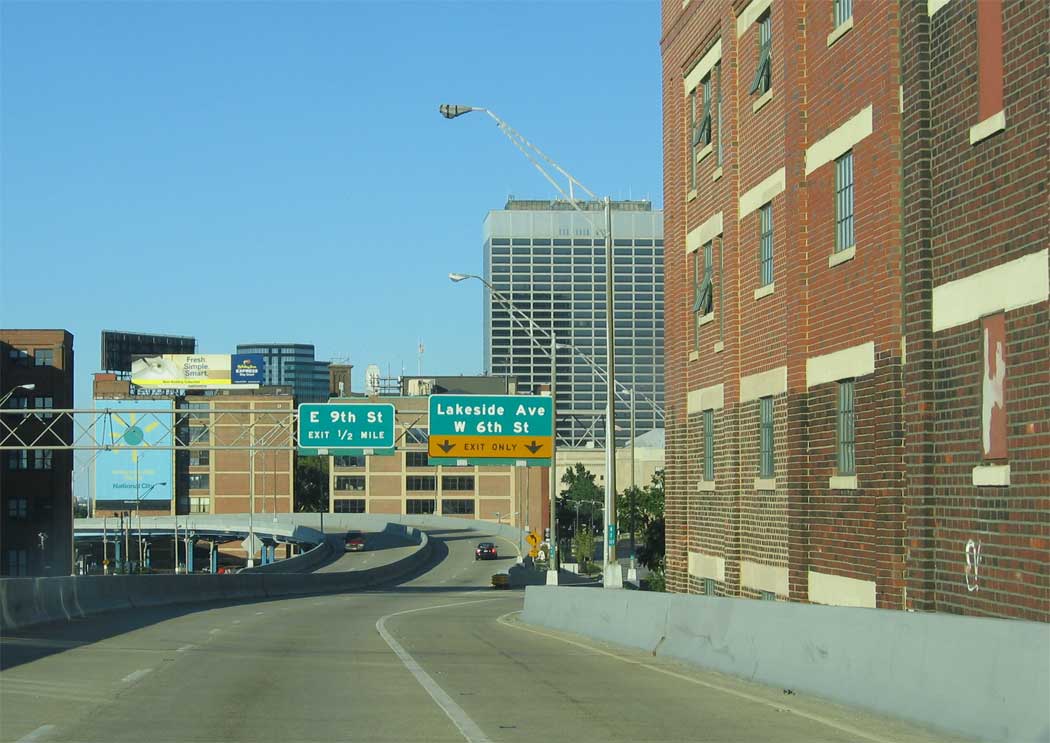
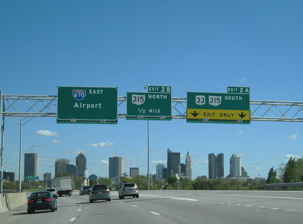
The elevated portion of the shoreway through downtown is signed as Ohio 2, and is between two and three lanes.
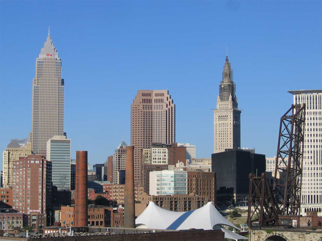
The road offers some great views of the Cleveland skyline, showing especially how the city was built as a strategic location on a bluff overlooking both river and lake. With the planned demolition of this road, these views will be lost.
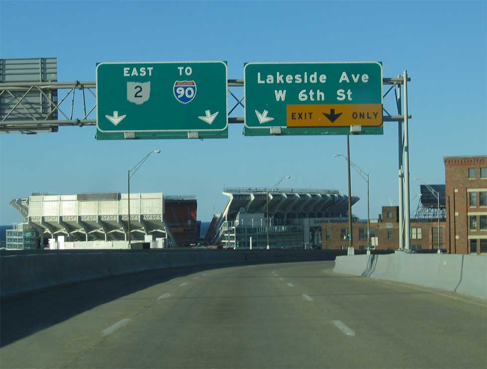
The previous views looked eastbound, the following two are headed westbound. I-90 is a large and very busy expressway into downtown Cleveland. To the east the driver can see great views of Lake Erie.
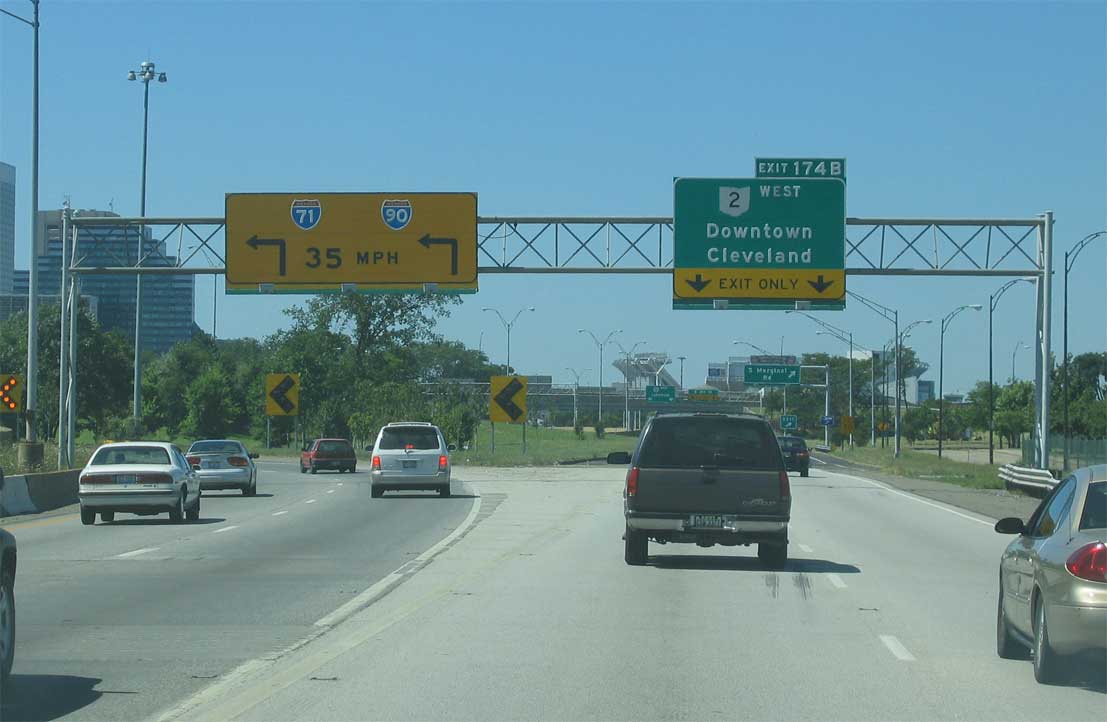
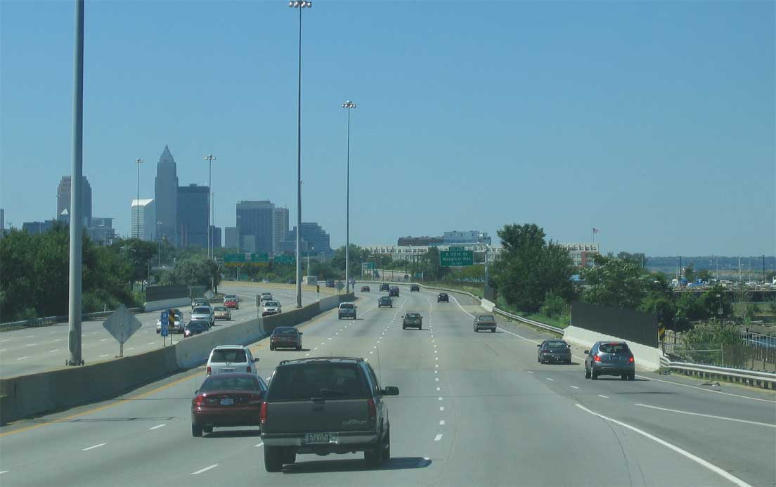
As it splits with Ohio 2, which runs straight ahead, I-90 has a very sharp curve – known locally as dead man’s curve. The road features lit warning signs and rumble strips, but even those don’t seem to help 100% of the time. As America’s longest interstate makes a sharp urban curve, the area directly ahead is littered with bumpers and skid marks!
Eventually, we’ll manage to get all of the downtown Cleveland photos up. Next on the Ohio photography agenda, I-490!


Same thing is happening in Akron with OH-59, the Akron Innerbelt, pending ODOT’s approval. The days of ODOT defending motorist rights appears to be over. At least Cleveland’s land will go to public uses, Akron’s tyrant mayor wants to build luxury condos :/.
I live in Akron, and our emperor of a mayor has been mayor since 1987. The Martin Luther King Jr. Freeway, as it is named, is an odd highway, going from four lanes to six to eight, then back to six. It shrinks back to four lanes somewhere between the Cascade Plaza exit and the Market Street overpass, where the freeway becomes a city street. There’s a group out there advocating for an extension of the Innerbelt, but their effort may end up wasted; extending it serves nobody, not to mention how it will be near impossible to construct an interchange with OH-8 (the city street OH-59 is on after the Innerbelt ends has an interchange with OH-8 just before a large bridge across the Little Cuyahoga River. But, yeah, OH-59 could easily be replaced by upgrading Broadway and High/Main Streets. As for the building of luxury condos, I don’t see those being built in low-income neighborhoods.
Dead Man’s Curve is going away. ODOT is purchasing land, and part of the innerbelt -redo is going to fix/eliminate the innerchange. That curve in I-90 will be a full 50 mph curve, 2012 ish.