
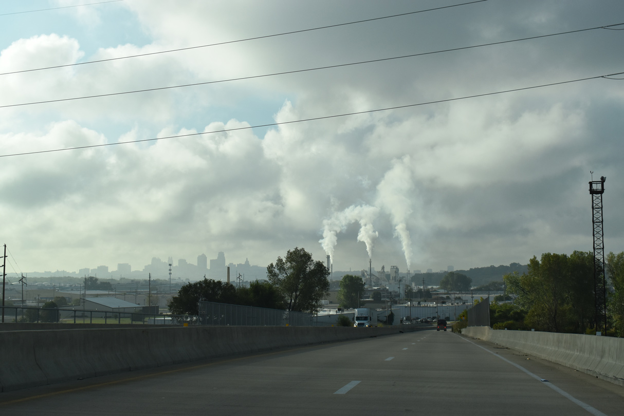
Day 6 of our Midwest/Great Plains trip started out redriving many of the Omaha area freeways, dodging thunderstorms southward to Kansas City, and figuring out how far south to travel in Kansas. This post focuses on our morning drive around Omaha and the first AARoads visit to St. Joseph since Justin took photos here in 2003.
More button copy remains in service along Interstate 680 around the city of Omaha. This sign is one of three along westbound from Exits 6 to I-80.
Construction commenced at the western terminus of Interstate 680 on April 20, 2015. The $3.4-million project includes bridge repair and replacements of culverts, walls and guardrails among other pieces of infrastructure on three of the bridges at the three-wye interchange between the two freeways. Work runs through August 29, 2015. http://www.transportation.nebraska.gov/news/news releases/current-month/2015-NDOR-Projects-Impacting-Metro-Interstate-and-Expressway.pdf
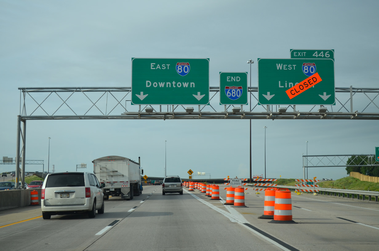
Presently the I-680 mainline ramp to I-80 west is closed for bridge work. Motorists bound for Lincoln or other points west must depart the mainline and use the collector distributor roadway for West Center Road (Exit 1) and continue to its ramp split for Interstate 80.
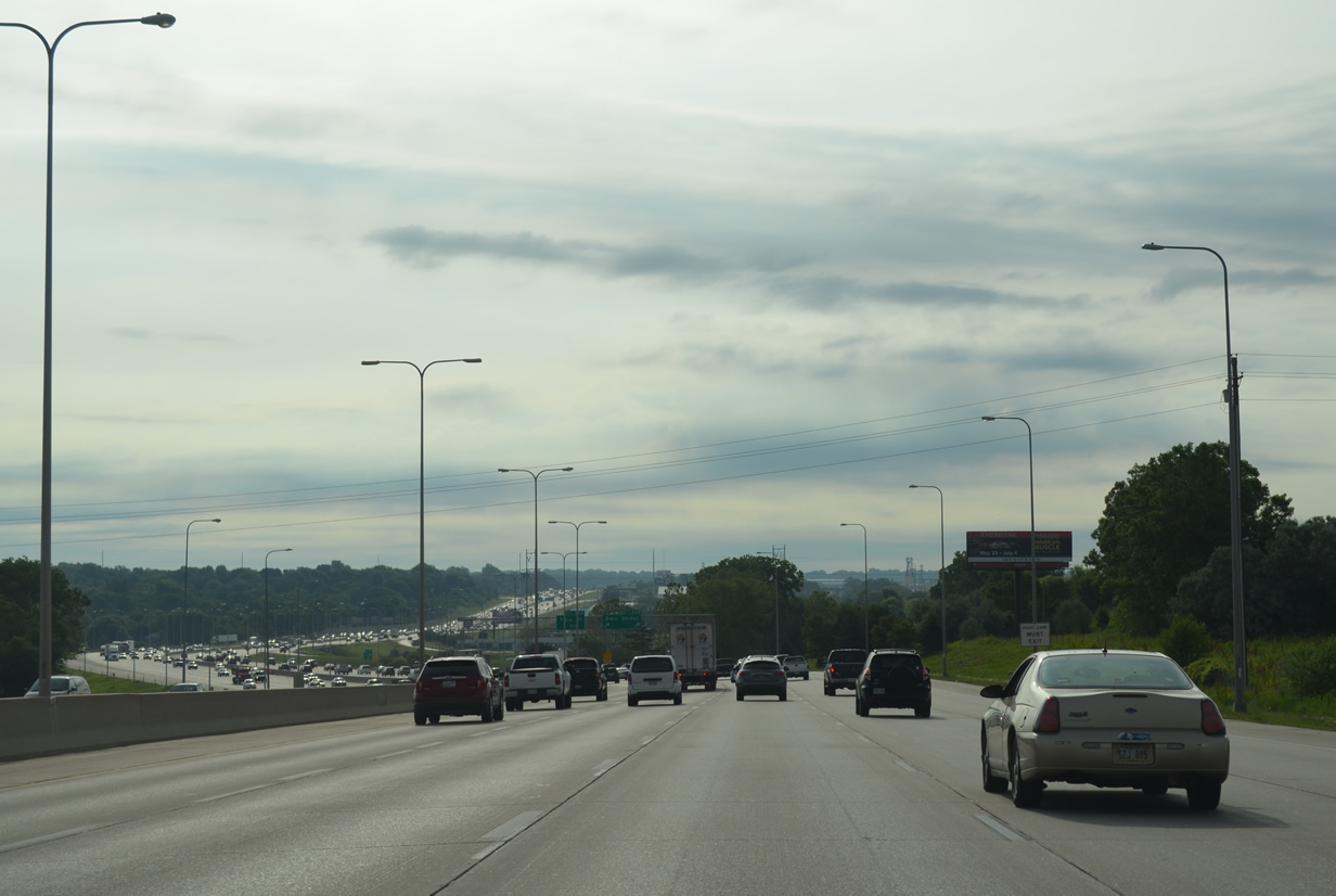
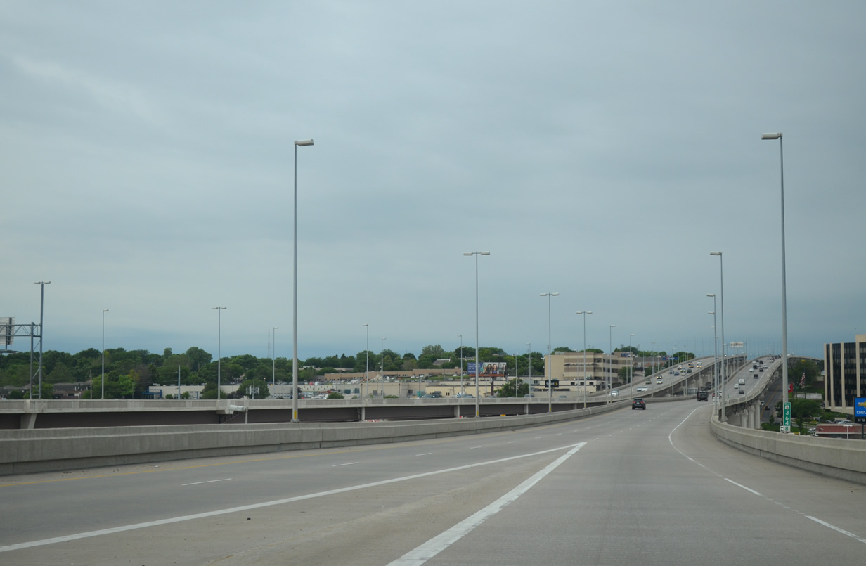
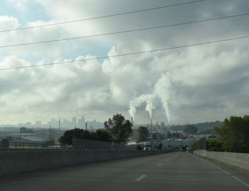
Interstate 80 expands to as much as ten lanes through the city of Omaha. NDOR traffic counts between Interstates 680 and 480 top out at 172,000 vehicles per day as recorded in 2014.
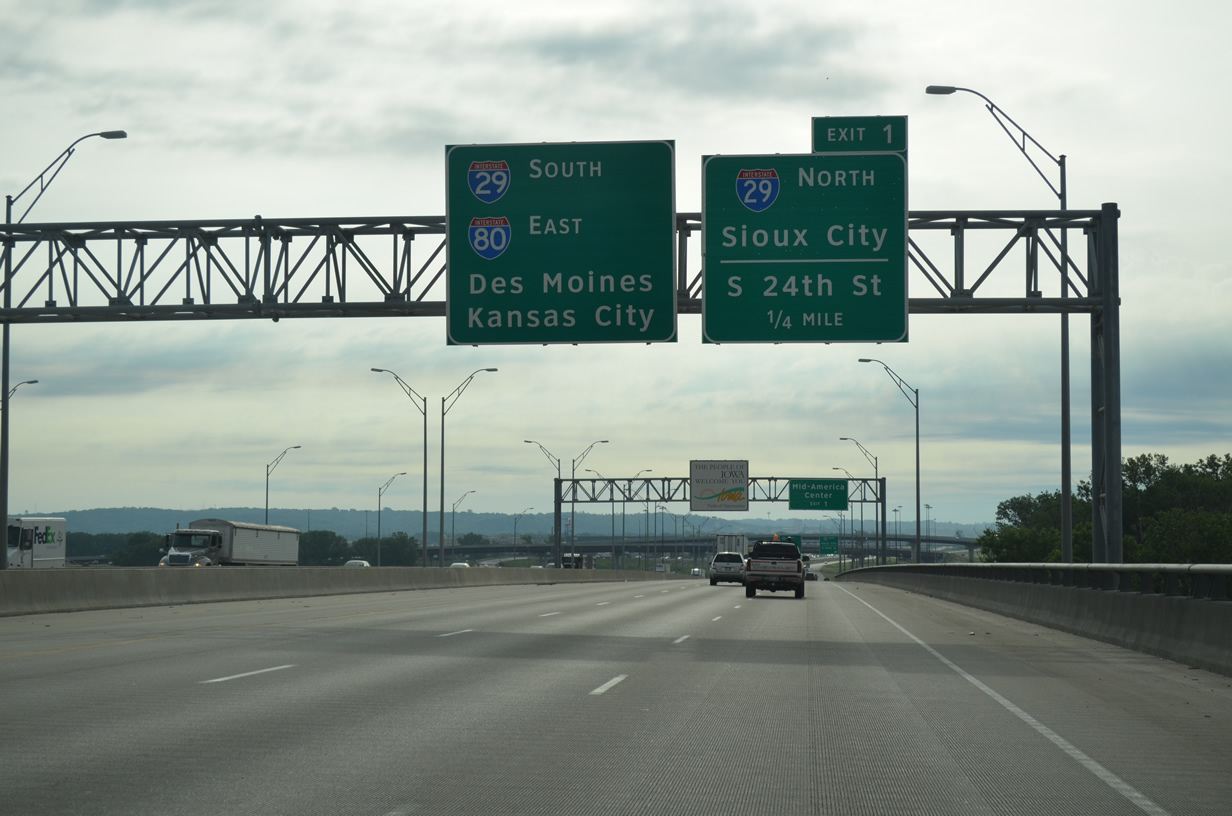
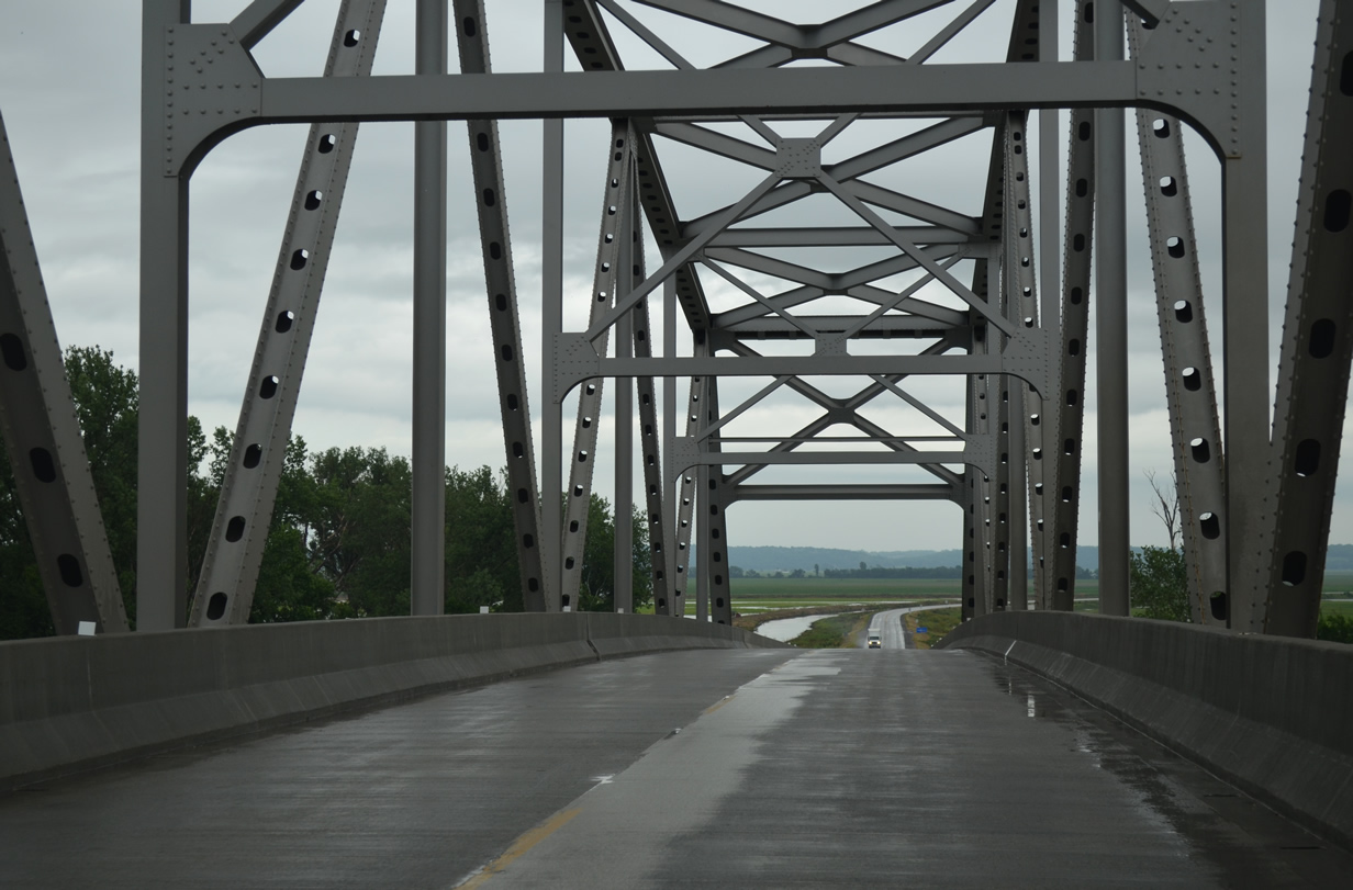
Spanning the Mississippi River, Interstate 80 approaches a three-wye interchange with Interstate 29.
The two routes overlap for 2.7 miles presently, but work underway will separate the two into a dual freeway configuration. Other similar dual freeways include Interstates 35W and 94 through Downtown Minneapolis and Interstates 73 and 85 on the south side of Greensboro, North Carolina.
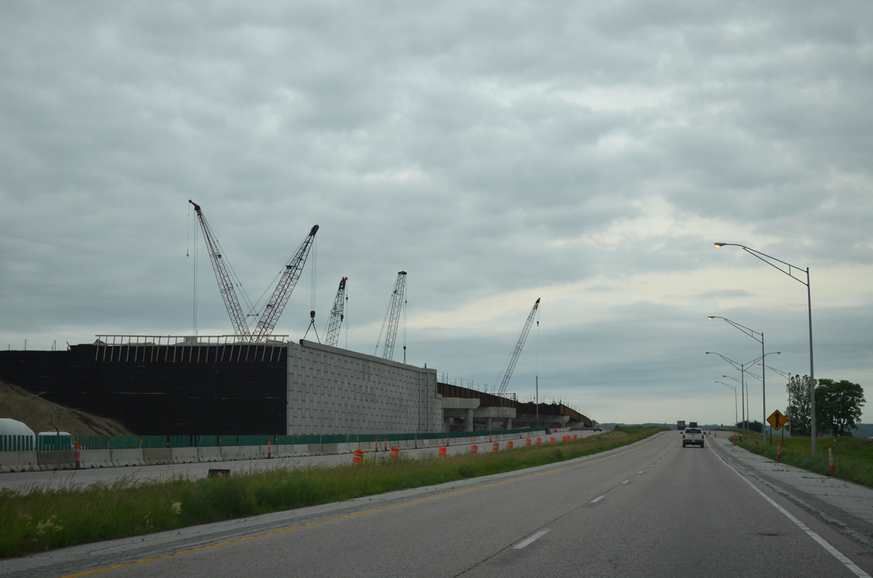
A multi-year project underway in Council Bluffs, Iowa reconfigures the West System Interchange at Interstates 29 and 80 to eliminate the left-hand ramps. A new directional-T interchange is partially complete, with new high speed flyovers open from I-80 east to I-29 north and from I-29 south onto I-80 east. The left-hand ramp from I-80 east to I-29 north is already closed. It will be removed to accommodate a new westbound carriageway to be built adjacent to the eastbound lanes. This project concludes in 2022, with final eastbound construction commencing in late 2019.
Other work expands the folded diamond interchange at South Expressway Street with wider ramps on the north side of the freeway. This accommodates a new collector distributor roadway to be built from the East System Interchange of I-29 & 80 to Indian Creek. Work at east split interchange also removes left-hand movements while shifting the I-80 mainline northward by several hundred feet. A new sweeping flyover will also be built from I-80 west to I-29 south. Overall work runs through 2022, with construction on I-29 at U.S. 275 & IA 92 set to begin in early 2018.
Taking Exit 1 from Interstate 80 east to the new flyover for I-29 north to Sioux City and the c/d roadway east to South 24th Street and the Mid-America Center.
As the Omaha skyline comes into view, the flyover to I-29 north from I-80 east dumps traffic onto the original westbound to northbound connection. A stub will eventually conclude the movement onto a new I-29 mainline.
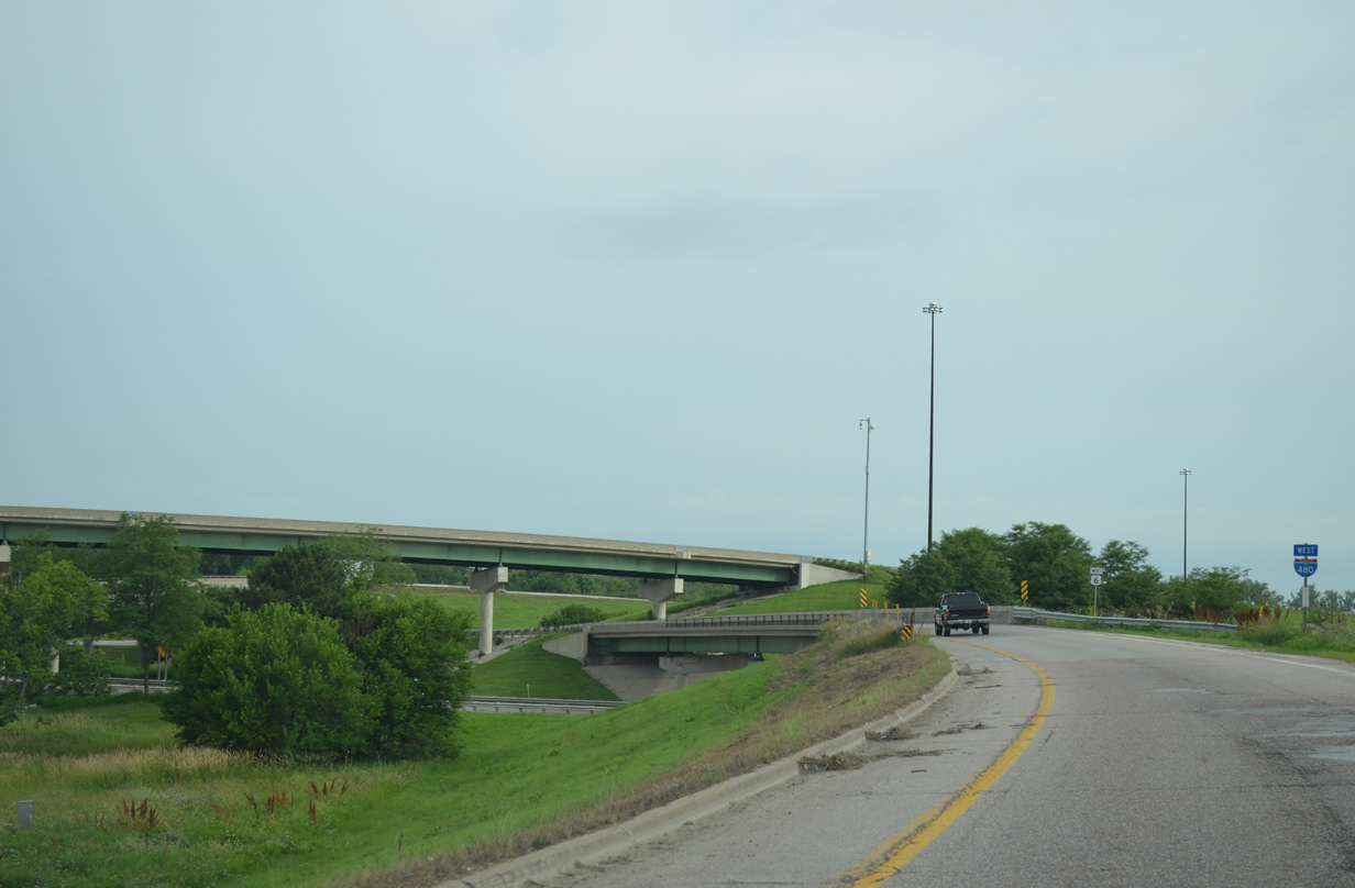
A reassurance marker for I-480 stands along side the left-hand ramp from I-29 north to I-480 west in Council Bluffs.
Future work will redesign the tri-level stack interchange between Interstates 29 and 480 with U.S. 6 (West Broadway) west from Council Bluffs. Prospective designs include full access between West Broadway and I-29, which presently defaults to and from I-480 toward Downtown Omaha. A FEIS is available on the planned upgrades.
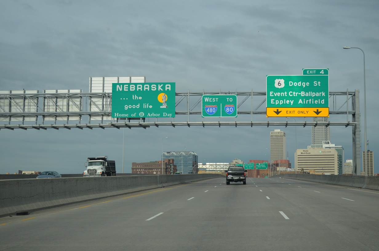
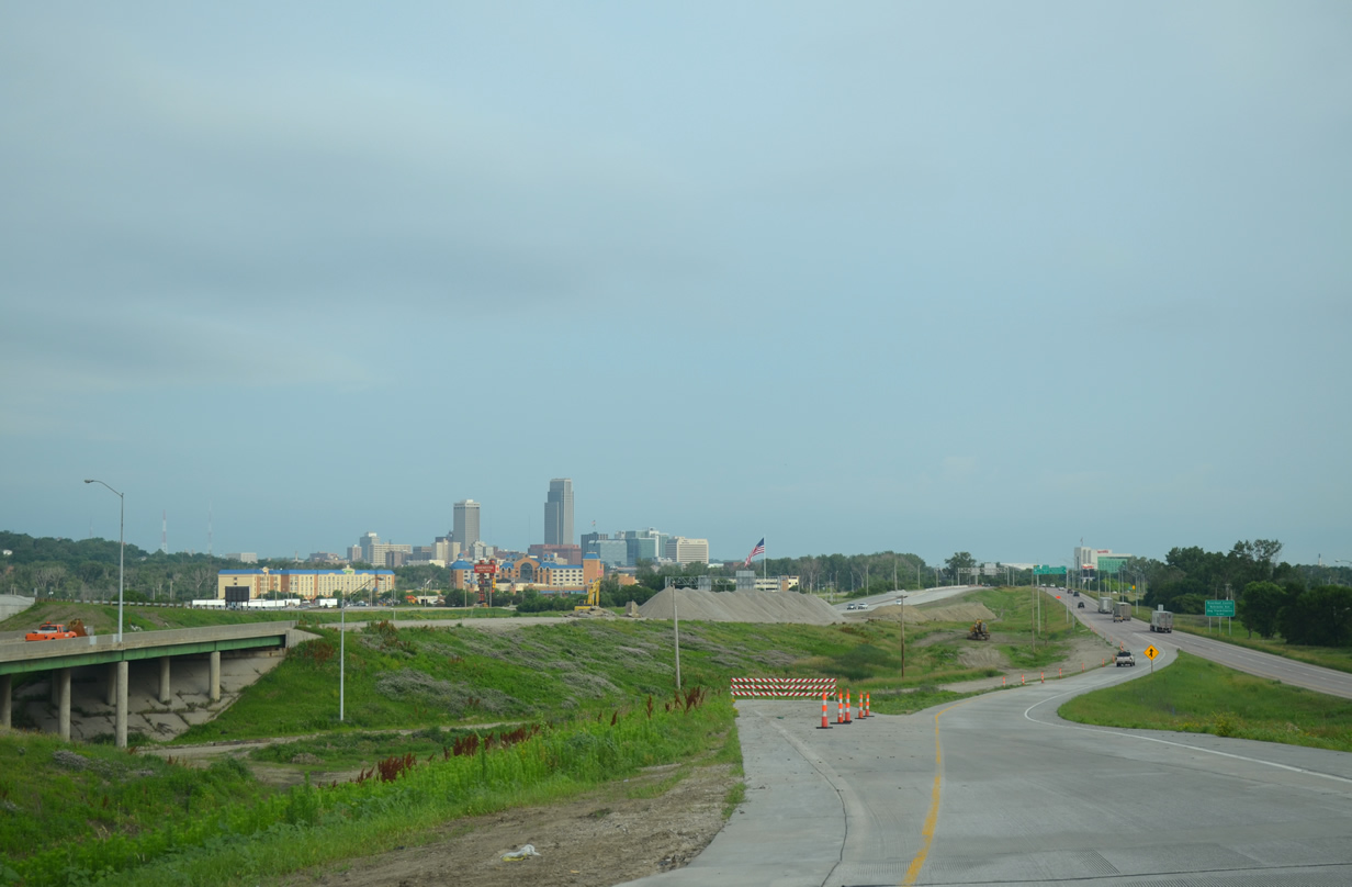
Spanning the Mississippi River, U.S. 6 joins Interstate 480 from Broadway through Council Bluffs to the couplet of Dodge Street west and Douglas Street east through Downtown Omaha. I-480 swings northward by the CenturyLink Center Omaha and TD Ameritrade Park Omaha (home of the College World Series), entertainment venues for Omaha.
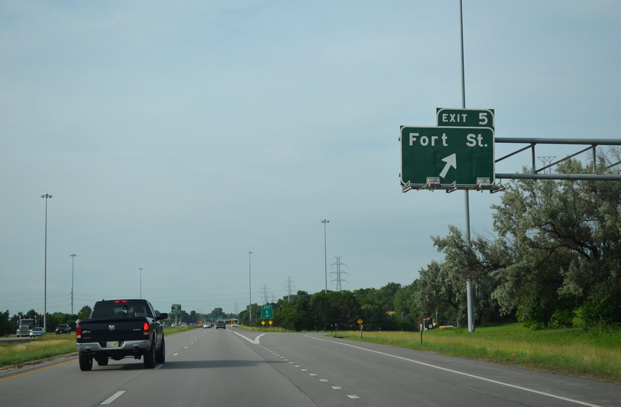
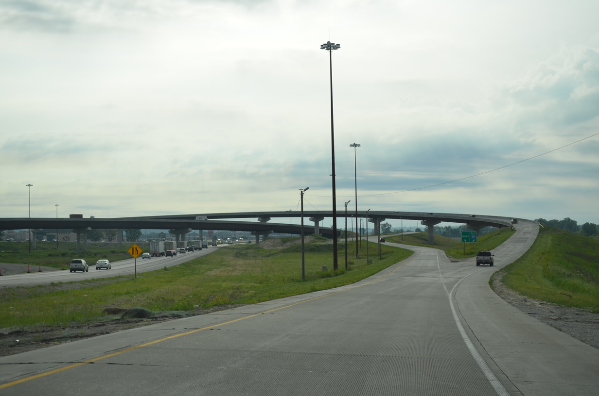
Ramps from Interstate 680 to U.S. 6 connect with the U.S. 6 Express lanes leading west to 132nd Street. The elevated roadways provide a high-speed commuter route to the growing western suburbs above Dodge Road. Dodge Road travels at-grade as a commercial arterial from 114th to 120th Streets.
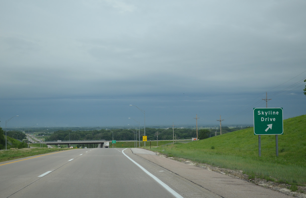
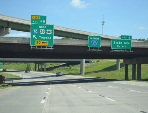
With a squall line bearing down on us, we opted to turn around on the West Dodge Road freeway (Nebraska Link 28B) interchange with Skyline Drive. The freeway turns north along side U.S. 275 within two miles through open agricultural areas and likely areas of future development.
More non-reflective overheads appear along Interstate 680 east through Omaha. These however do not feature button copy lettering or arrows.
The Mormon Bridge carries Interstate 680 across the Missouri River as separate cantilever spans. The eastbound bridge opened in 1952 as the route of Nebraska 36 and Iowa 988. The crossing was tolled until 1980.
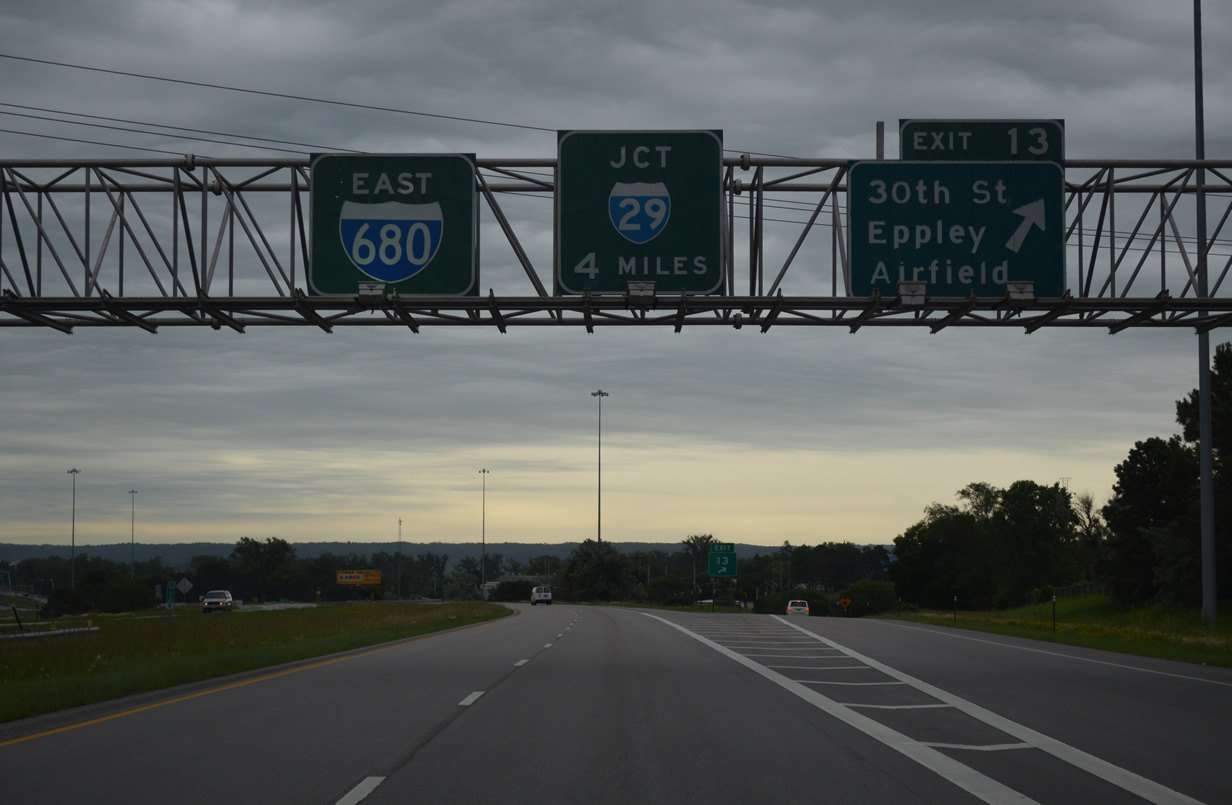
We made one final pass through of Downtown Omaha to document the other direction of Interstate 480 and redrive the U.S. 75 (North Freeway). Recent research we conducted on the North Freeway found out that it was incorporated in the Interstate System as I-580 on July 13, 1976. The route was short lived however due to funding issues to upgrade the existing roadway to Interstate standards. The designation was dropped by 1983, leaving U.S. 75 to follow the route alone. The freeway was ultimately completed north to Sorenson Parkway in November 1988, completing a high speed route to Eppley Field (OMA).
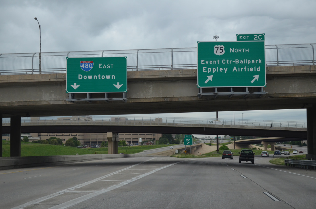
Interstate 480 partitions with U.S. 75 (North Freeway) for the eastbound leg by Downtown. U.S. 75 extends north as a limited access route to North 30th Street and the Storz Expressway east to Eppley Field. Work here completed in 2009 removed several unused ramps for the unbuilt West Freeway.
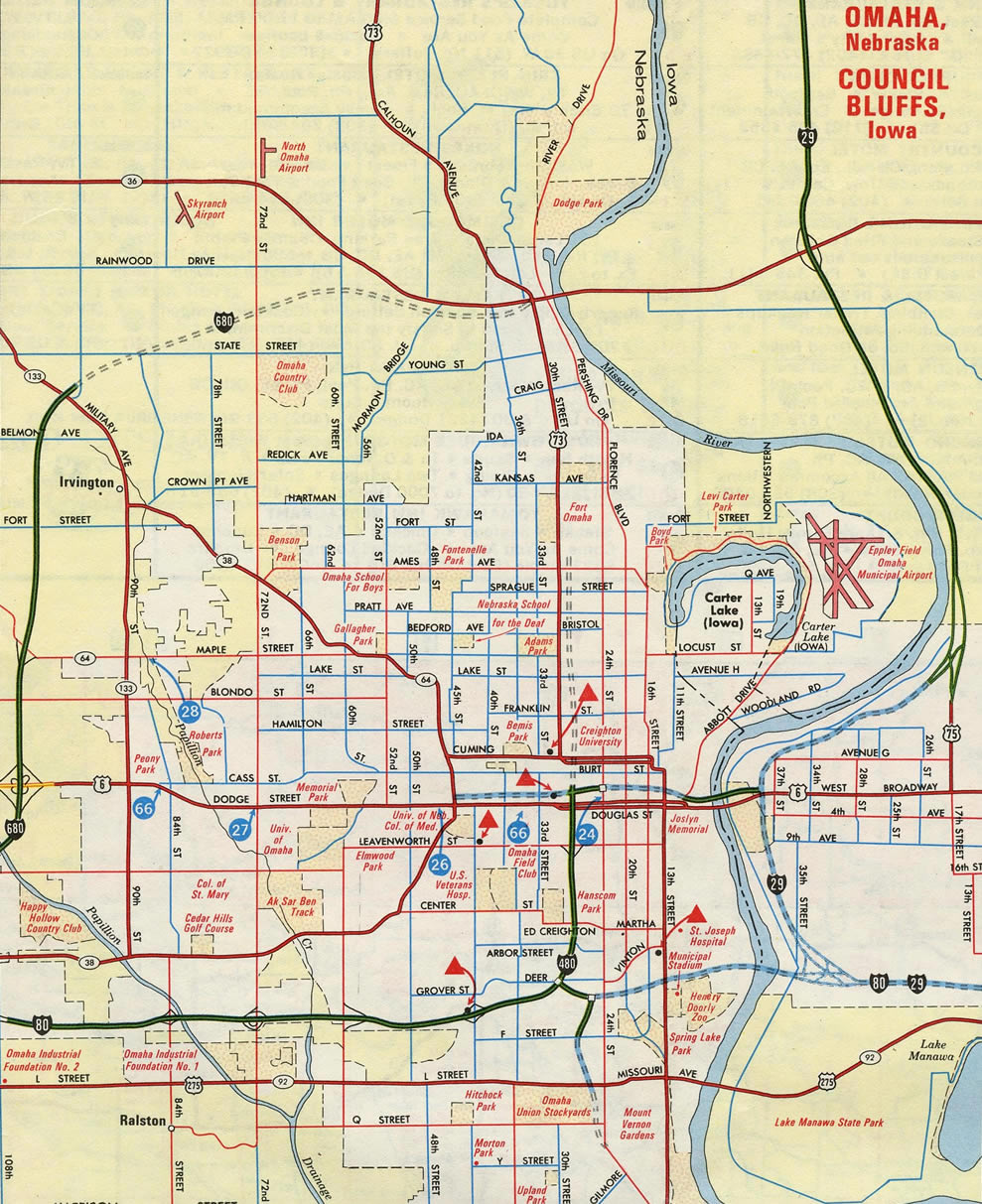
This 1968 inset of Omaha and Council Bluffs showed a portion of the unconstructed West Freeway.
The West Freeway was envisioned in 1957 to relieve congestion on parallel Dodge Street (U.S. 6). Slated to removed more than 1,100 homes, community opposition arose against the planned route, with nearly 500 citizens attending some rallies against it. This led to the 1973 city election where the West Freeway was killed.1
Ramps and several overpasses at the “Spaghetti Bowl” interchange between Interstate 480 and U.S. 75 (North Freeway) were built in anticipation of the West Freeway. These were removed in a $59-million multi-year project started on July 18, 2005. Of those, 1971-built bridges over North 30th Street (the westbound overpass closed prior in 1984) were demolished as was a flyover from I-480 north intended to link with the West Freeway. The 30th Street on-ramp to I-480 east and the North Freeway were also dismantled.2
The NDOR US 75 / I-480 Interchange Project was delayed from a 2009 completion until 2011. The third phase ran from late summer 2009 to December 2010. This included work to build a new I-480 mainline through the directional interchange (the mainline previously used ramps). New ramps were also built from adjacent 30th Street to and from I-480 and the southbound flyover from U.S. 75 to I-480 east.3
U.S. 75 veers southeast from North 30th Street to join the North Freeway. At-grade intersections follow with 30th Street northbound and Sorensen Parkway east at Storz Expressway before the freeway starts.
Leaving Omaha for good, we continued south on Interstate 29. Pictured here is more work for the I-29 / 80 East System Interchange at U.S. 275 & Iowa 92.
U.S. 275 combines with Interstate 29 south from the Council Bluffs area to Exit 35, where the route combines with U.S. 34 east to Glenwood. A realignment of U.S. 34 west was completed in October 2014 when a new Missouri River bridge was opened north of Plattsmouth, Nebraska. The bridge and new expressway takes U.S. 34 west to U.S. 75 south near La Platte.
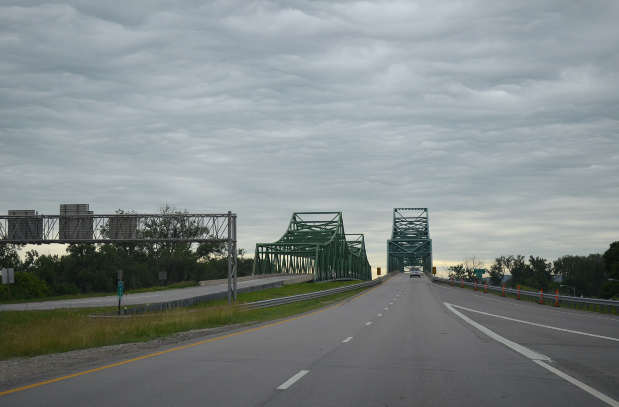
Spanning the Missouri River between Brownville, Nebraska and Phelps City, Missouri along U.S. 136 eastbound.
The Brownville Bridge is a cantilevered warren through truss built in 1939. The deck is just 22.6 feet wide.
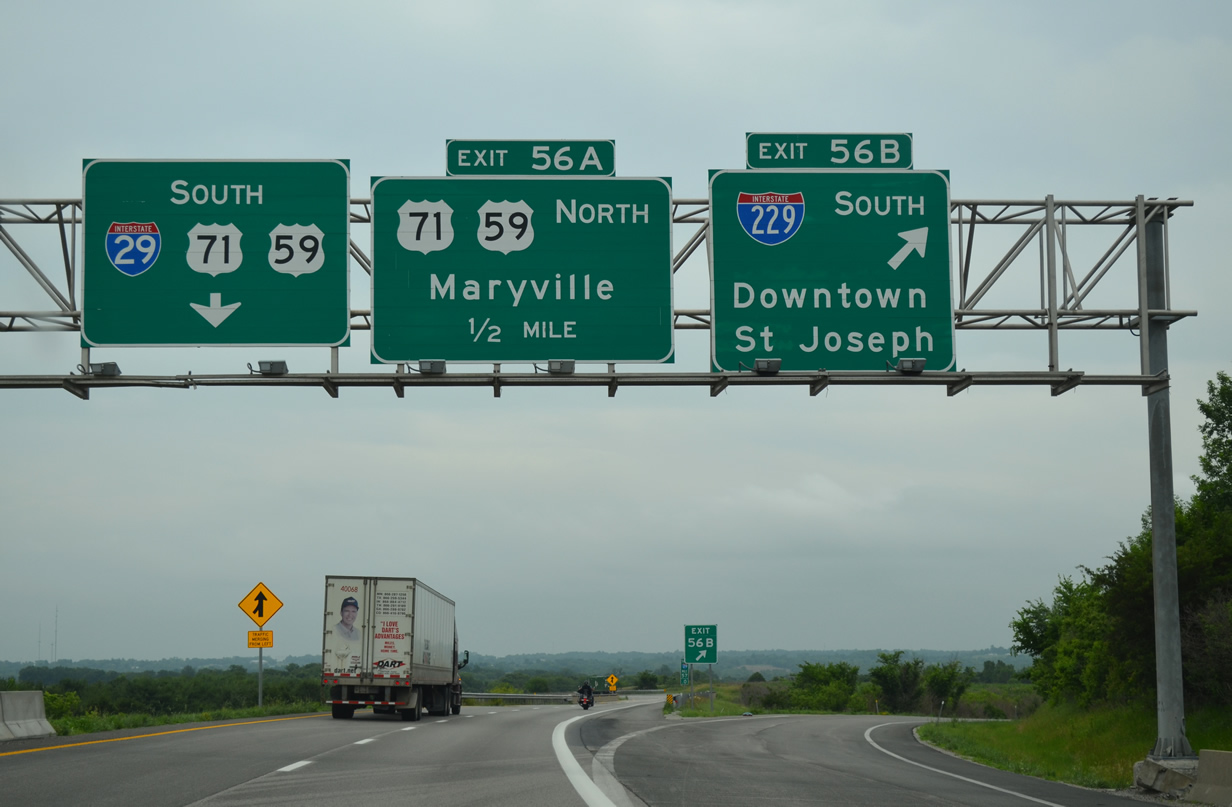
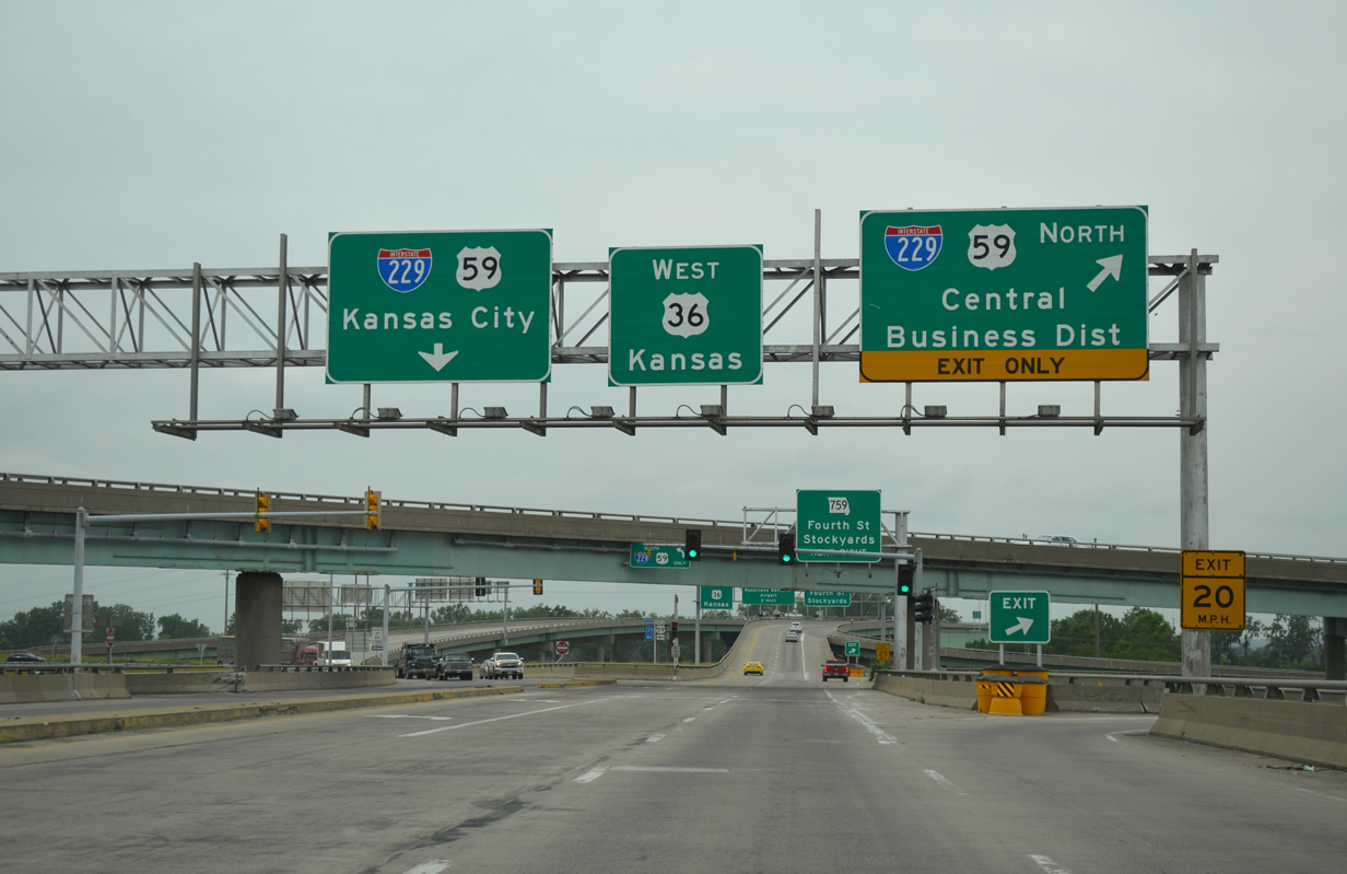
Interstate 29 and U.S. 71 cross paths for the first time at the north end of Interstate 229. U.S. 71 combines with I-29 to bypass St. Joseph to the east while I-229 forms an west urban loop to Downtown.
The Missouri version of Interstate 229 is a lightly traveled route, with 2013 traffic counts varying from a peak of 20,026 vehicles per day (vpd) recorded on the double decker section Downtown and just 4,275 vpd tallied south of the I-29 exchange with U.S. 71. The freeway was originally envisioned to bring traffic back into St. Joseph. Low usage and an aging viaduct however may lead to an eventual decommissioning of the route.
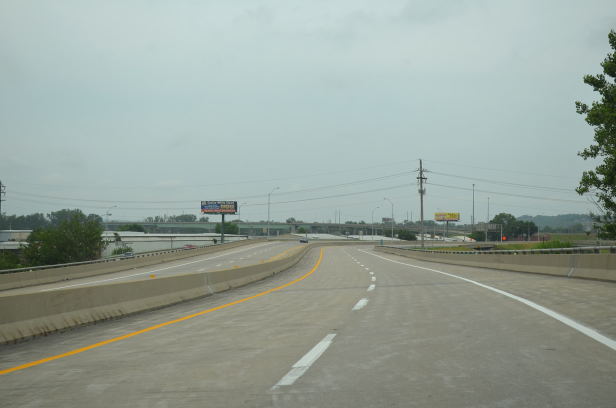
Interstate 229 north elevates across a railroad line and Atchinson Street on a conventional viaduct through to the wye interchange with U.S. 59 (South 6th Street) south of Downtown St. Joseph.
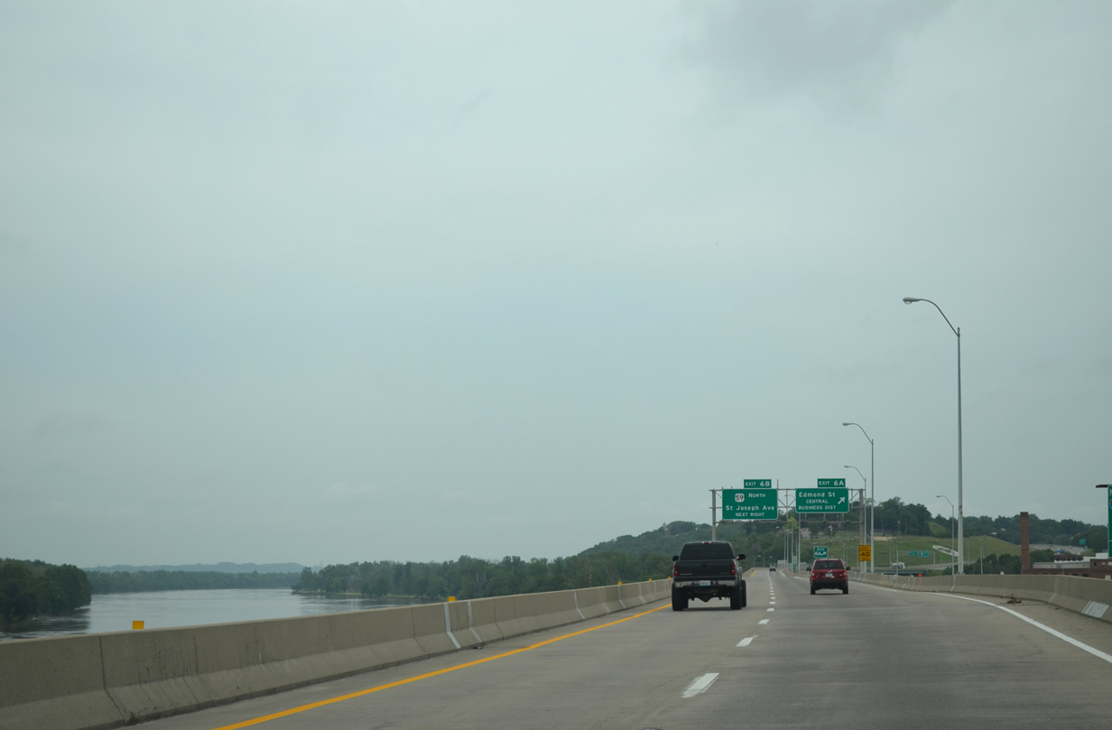
The Missouri River spreads into view in this scene from the upper deck of the I-229 viaduct through Downtown St. Joseph.
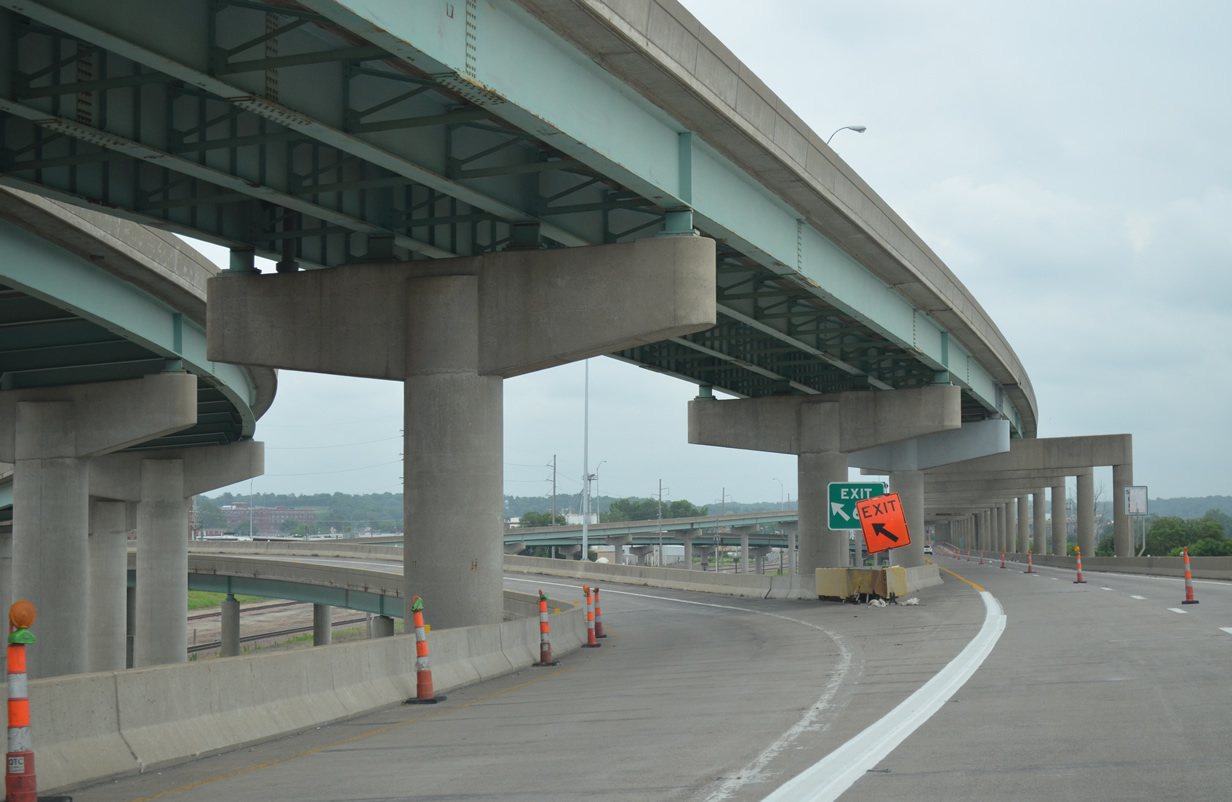
Returning southbound along Interstate 229 at the wye interchange with Felix and Francis Streets in Downtown St. Joseph.
U.S. 36 bisects the city of St. Joseph along an older freeway. The substandardness of the route includes the use of a signalized intersection at the ramps to I-229 south and from I-229 north. Additionally there is no direct access from U.S. 36 east to I-229 north and from I-229 south to U.S. 36 west. Instead motorists are directed onto adjacent Missouri 759 to complete the connection.
U.S. 36 westbound at the northbound on-ramp for I-229 & U.S. 59 and the left-hand turn for I-229 & U.S. 59 south. U.S. 59 bypasses Downtown along the 1.8 miles of the freeway between South 6th Street and St. Joseph Avenue.
Next up is the first of two extensive drives on the Kansas City Interstate system, followed by our loop southwest to Emporia and northeast back to Topeka.
Sources:
- “Celebrate demise of ‘bridge to nowhere'” Omaha World-Herald, November 12, 2009.
- “Freeway junction work to begin – Ramp closures – Rebuilding I-480 /U.S. 75 (North Freeway) interchange ” Omaha World-Herald, July 16, 2005.
- US 75 / I-480 – Interchange Project – Project IM-480-9(561) CN 21202,
http://www.nebraskatransportation.org/projects/480-75/index.htm.


