
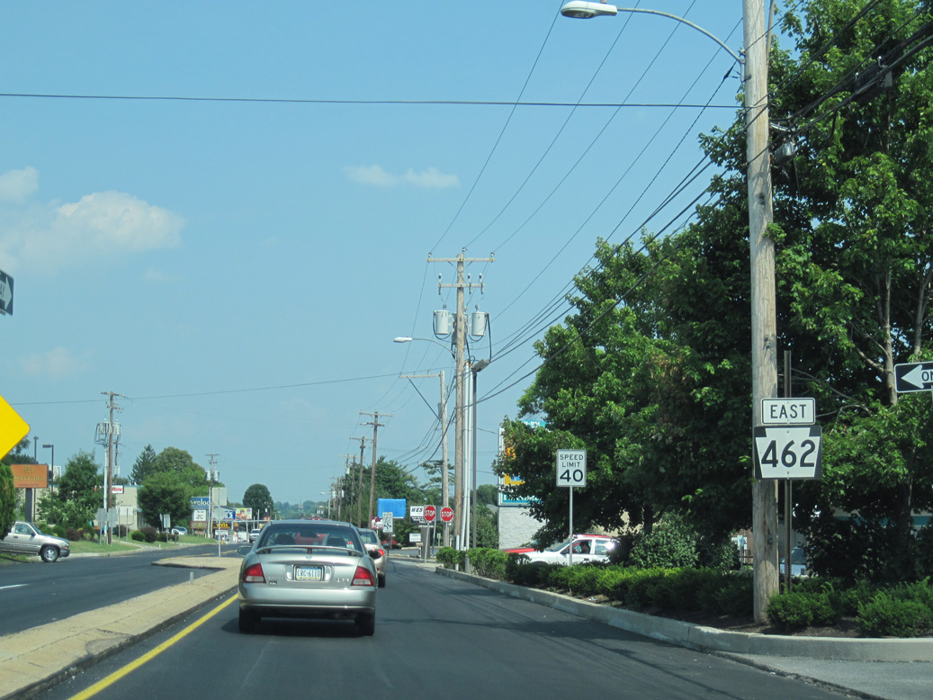
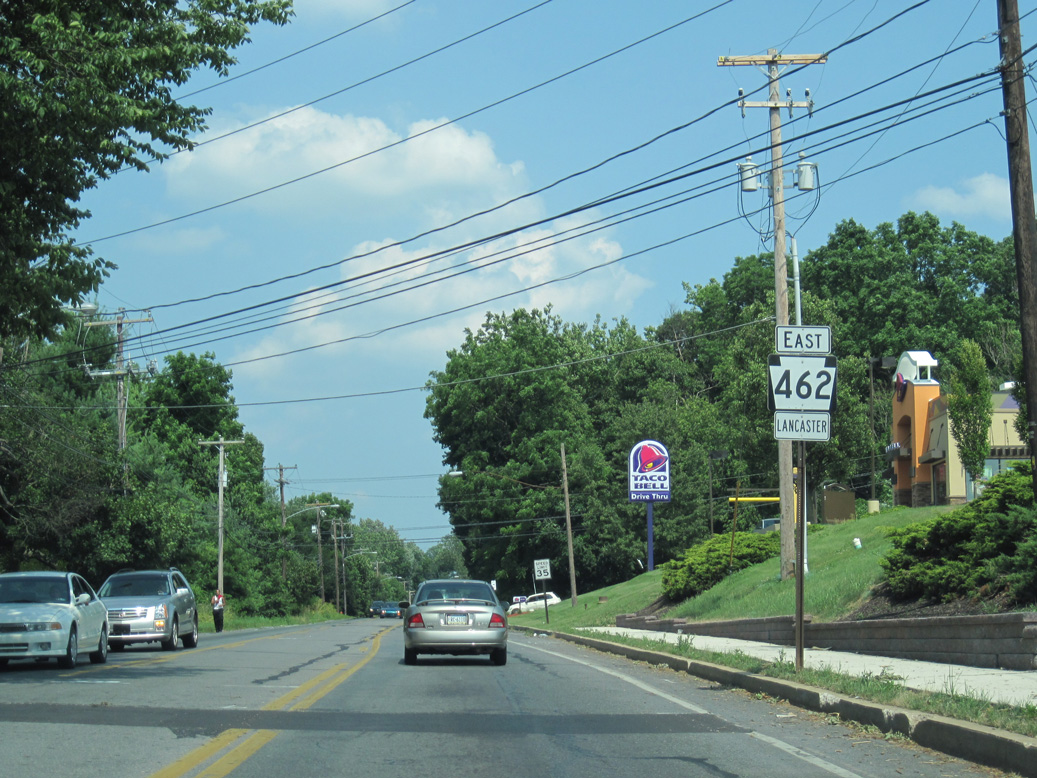
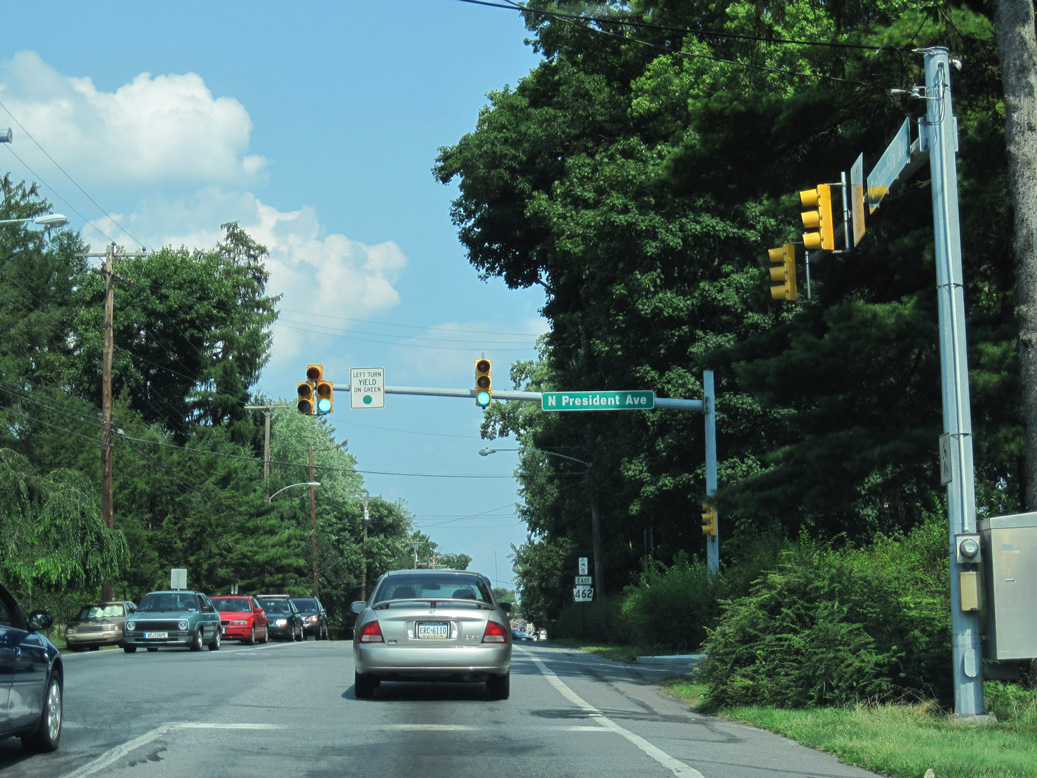
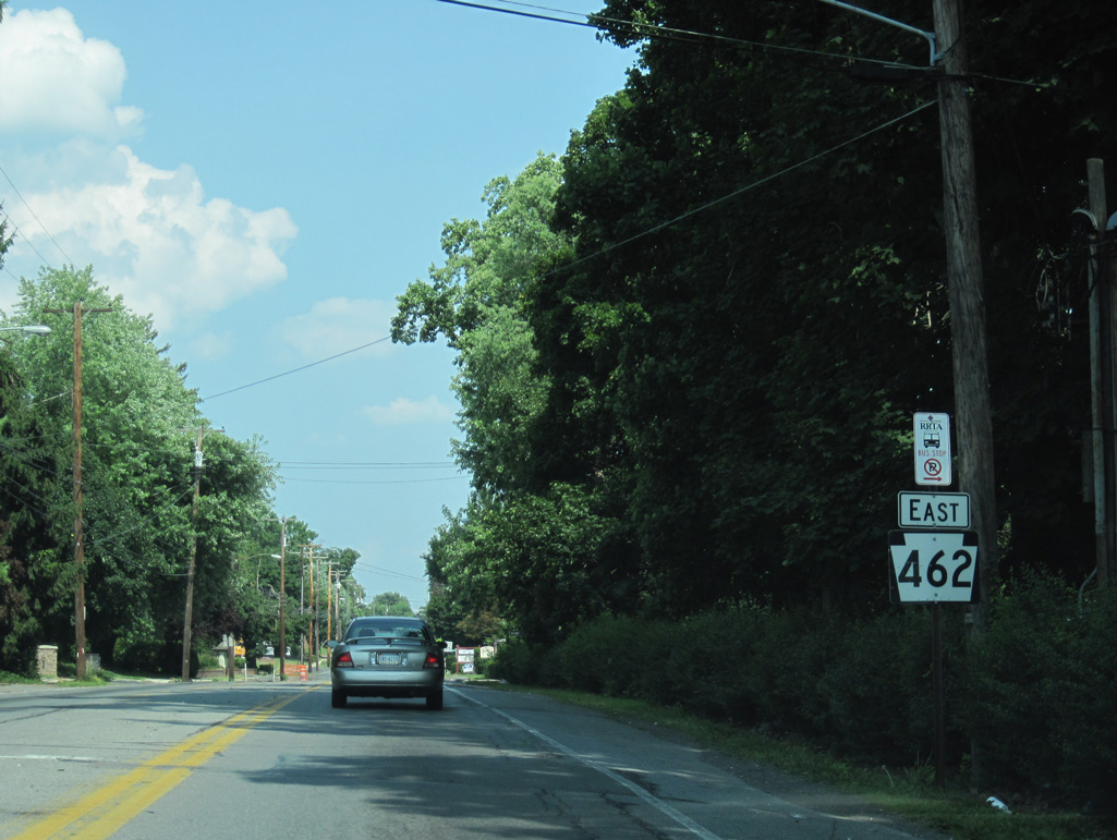
PA 462 is a 33.0 mile long route east from York to Lancaster in Southeastern Pennsylvania. The state route follows the pre-freeway alignment of U.S. 30 along the Lincoln Highway. Originating in West Manchester township, PA 462 heads east to Kurtz Place, the borough of West York and across the city of York while U.S. 30 bypasses to the north.
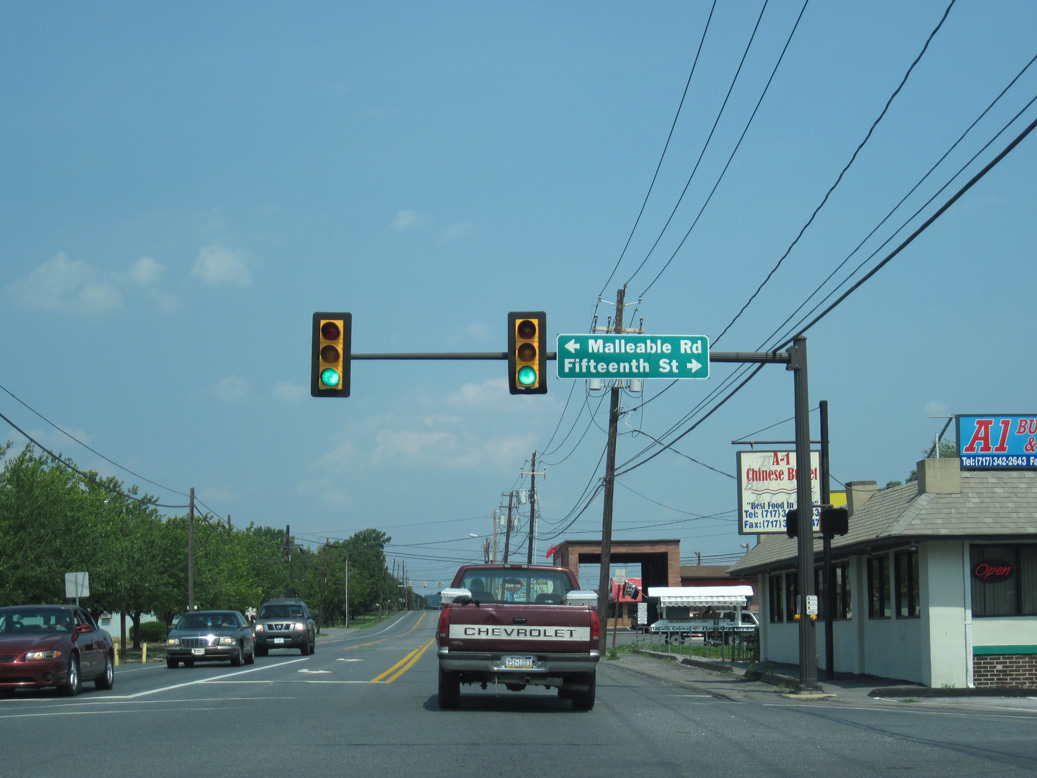
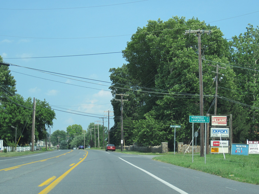
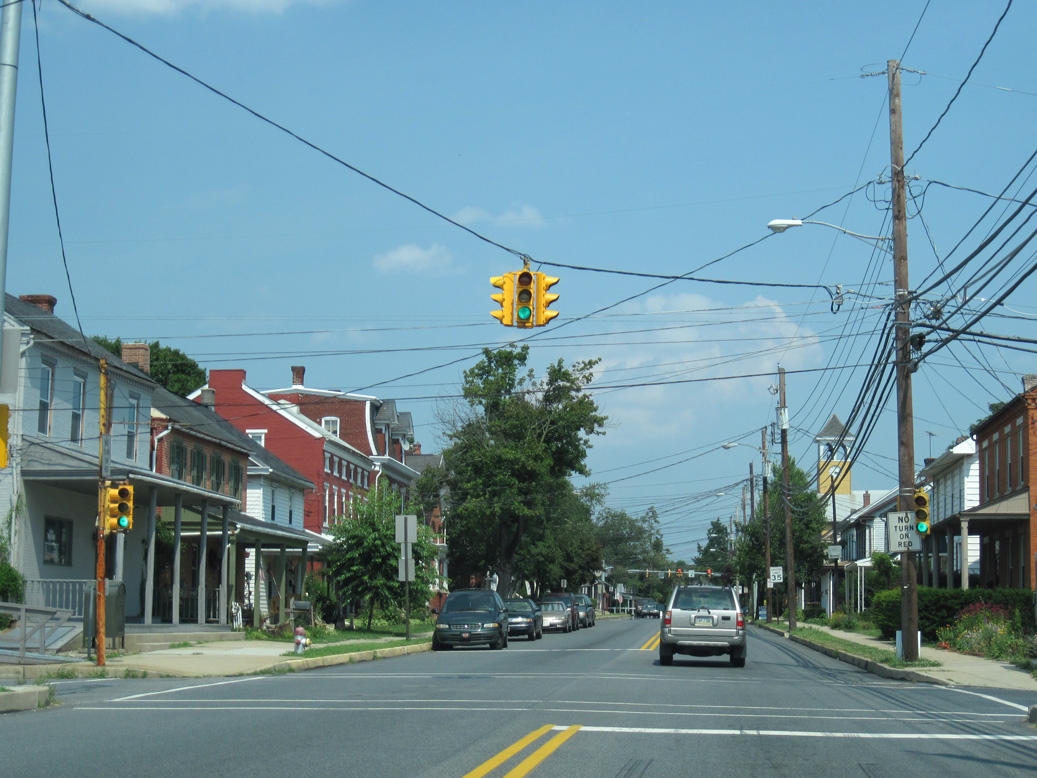
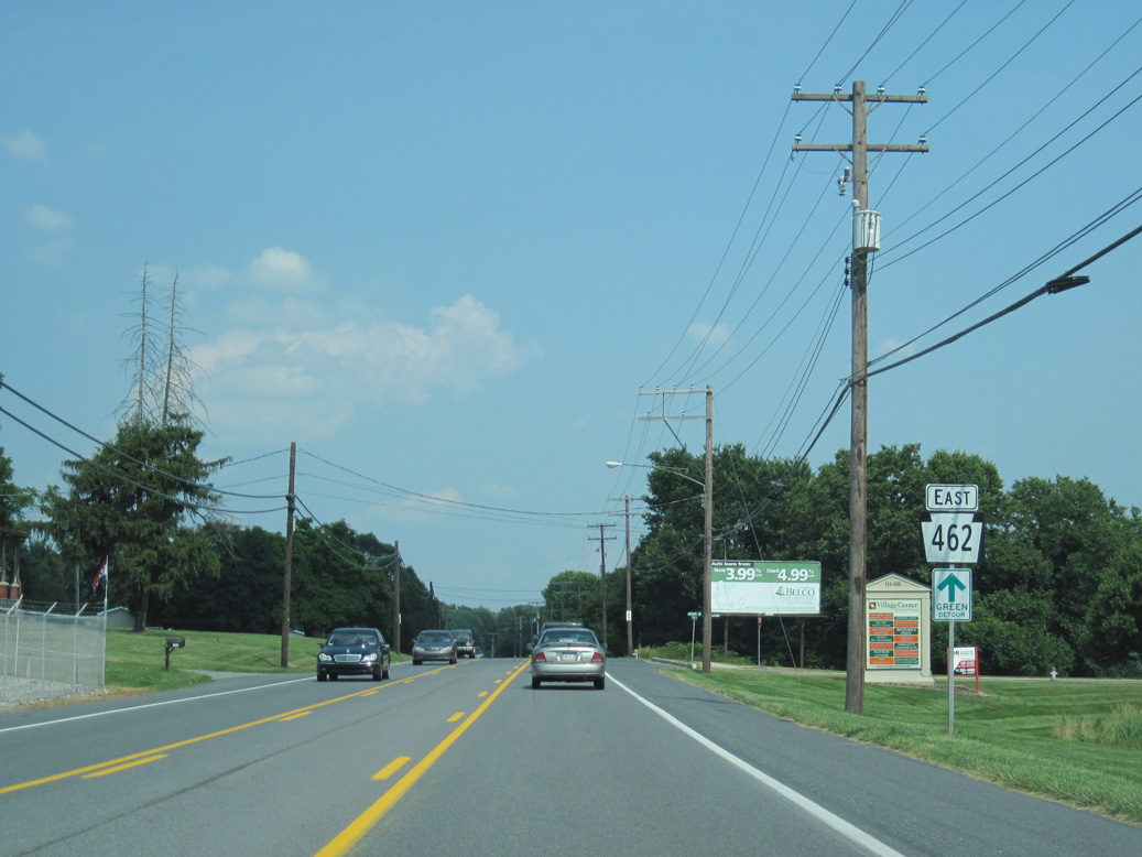
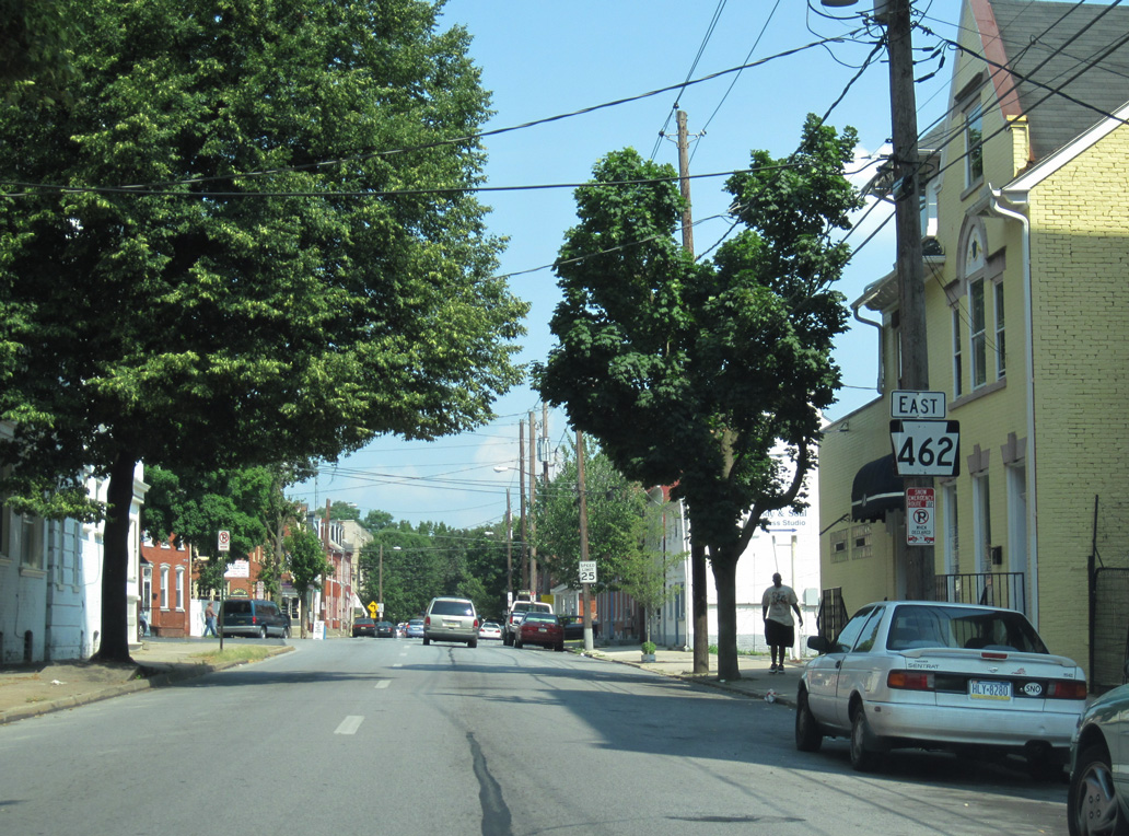
Through York, PA 462 separates into a couple with eastbound following Market Street and westbound paralleling to the north along Philadelphia Street from Harrison Street to PA 74 (Carlisle Avenue). Continuing to East York, PA 462 stays south of U.S. 30 to Yorkshire, the borough of Hallam and the borough of Wrightsville. Crossing the Veterans Memorial Bridge over the Susquehanna River, PA 462 enters Columbia in Lancaster County. East along Columbia Avenue, the state route parallels the freeway along U.S. 30 through Mountville to West Lancaster.
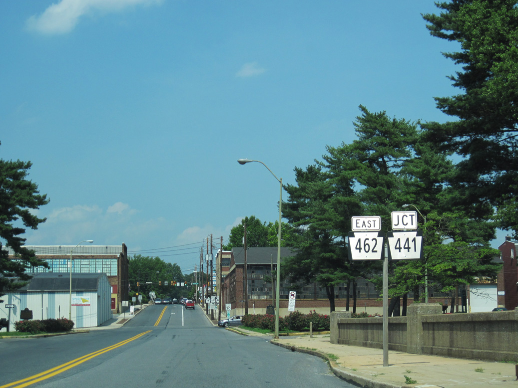
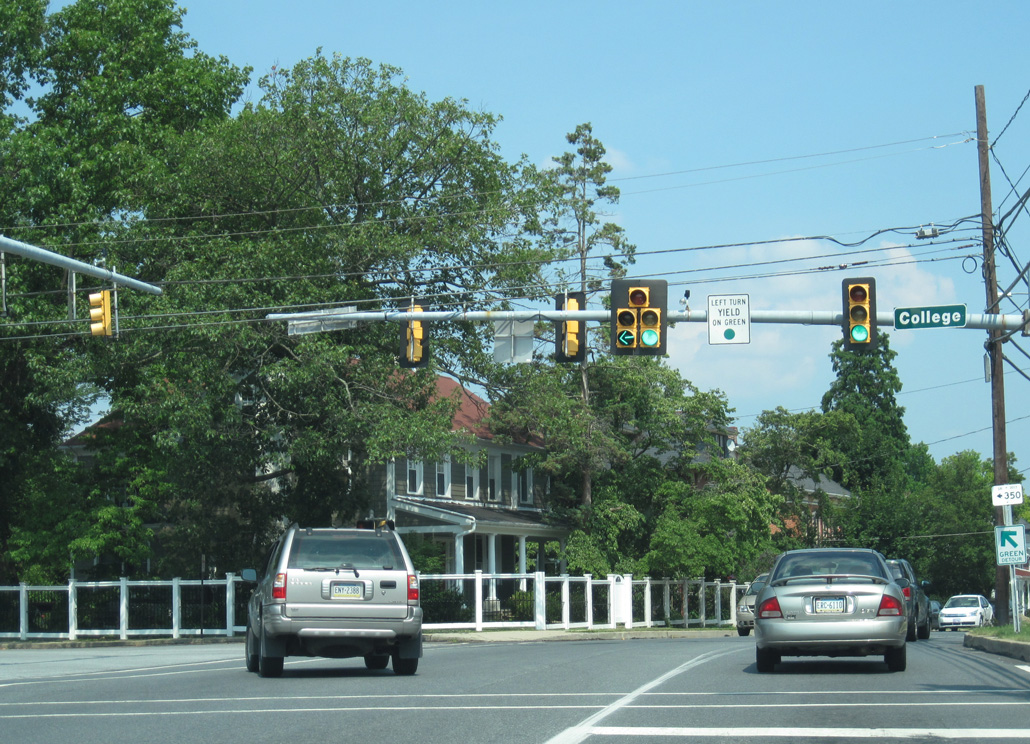
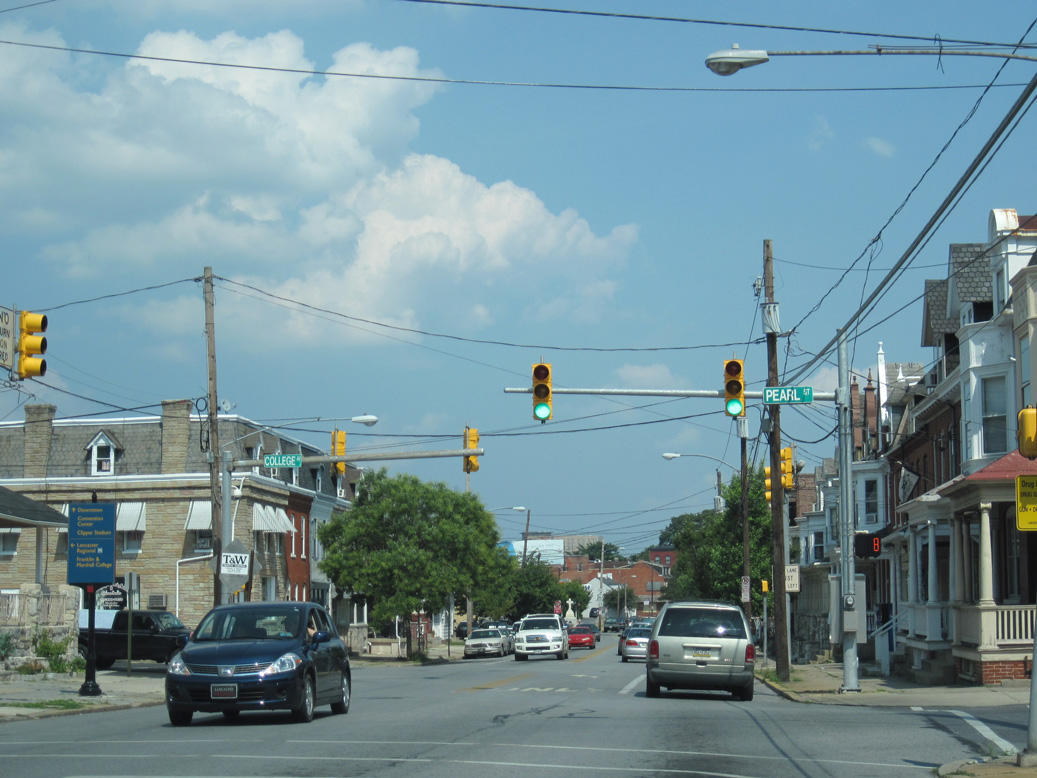
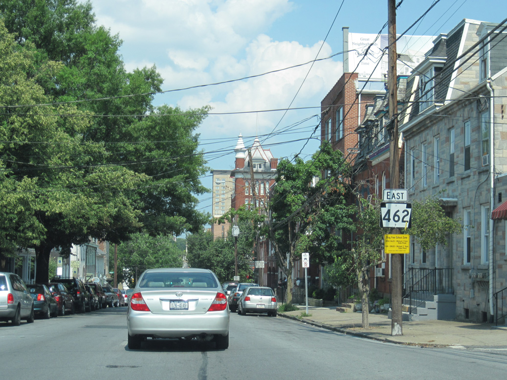
Through the city of Lancaster, PA 462 partitions into a couplet along King Street eastbound and Orange Street westbound. The two directions combine at Broad Street by Reservoir Park, and PA 462 proceeds east to Bridgeport and along Lincoln Highway to U.S. 30 at Greenland.
PA 462 was established through Lancaster with the completion of the limited access bypass for U.S. 30 to the north in 1965. The 13.469 mile alignment from west of Mountville to Greenland was approved as U.S. 30 by the American Association of State Highway Officials (AASHO) on June 29, 1965.
Cool Springs Road (SR 1016) connects the freeway along U.S. 30 with PA 462 (Hellam Street) at the borough of Wrightsville.
06/27/10
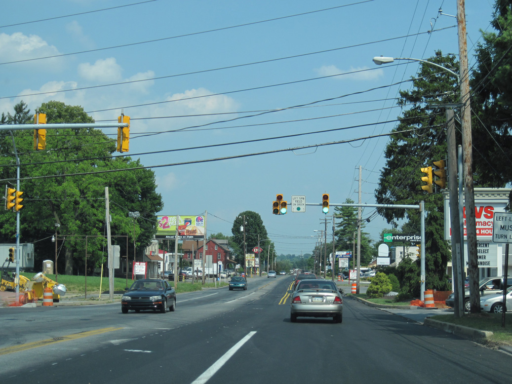
PA 462 (Lincoln Highway) leads west from Cool Springs Road / 9th Street (SR 1016) to the borough of Hallam.
06/27/10

Cool Creek Road (SR 2011) extends south from 9th Street (SR 1016) and PA 462 (Hellam Street) toward Samuel S. Lewis State Park and the borough of East Prospect.
06/27/10
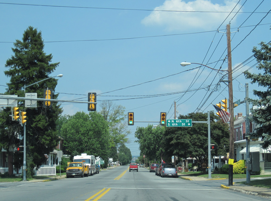
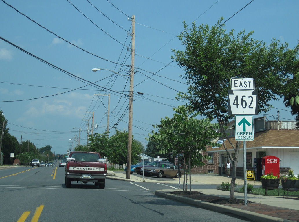
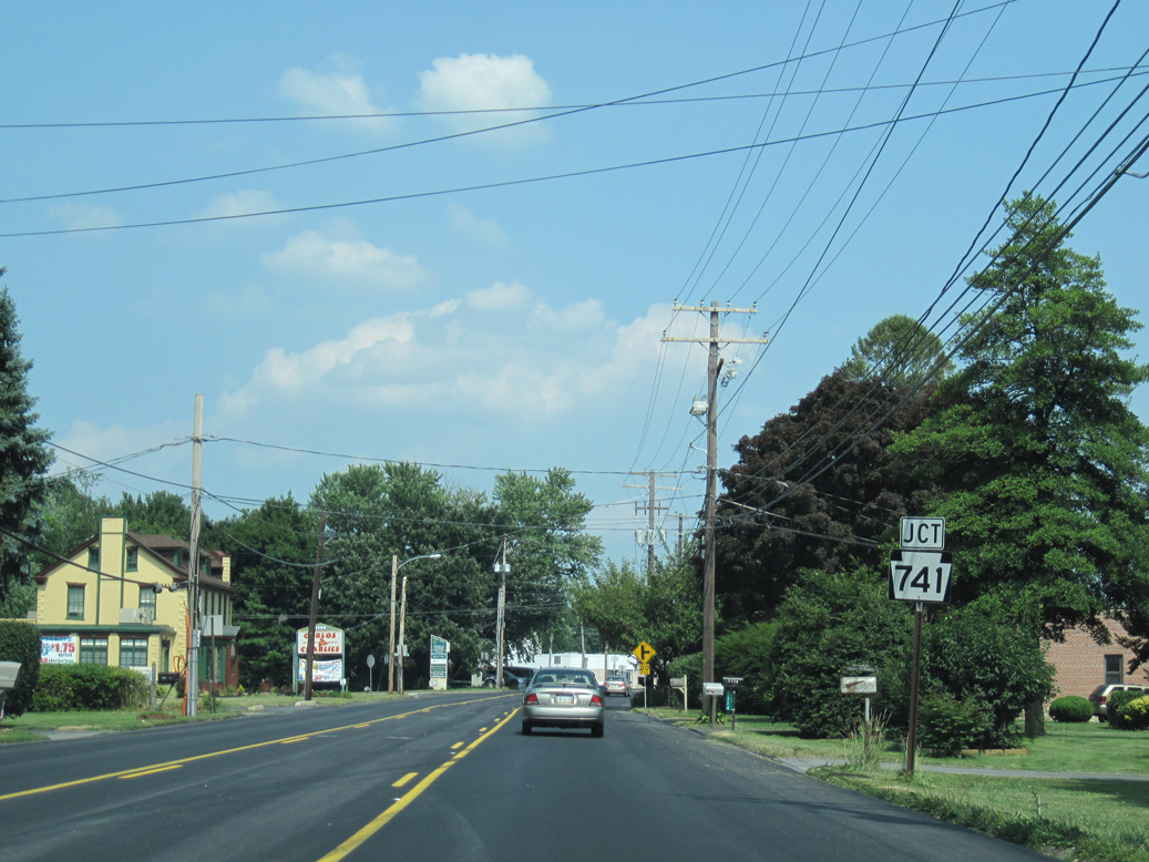
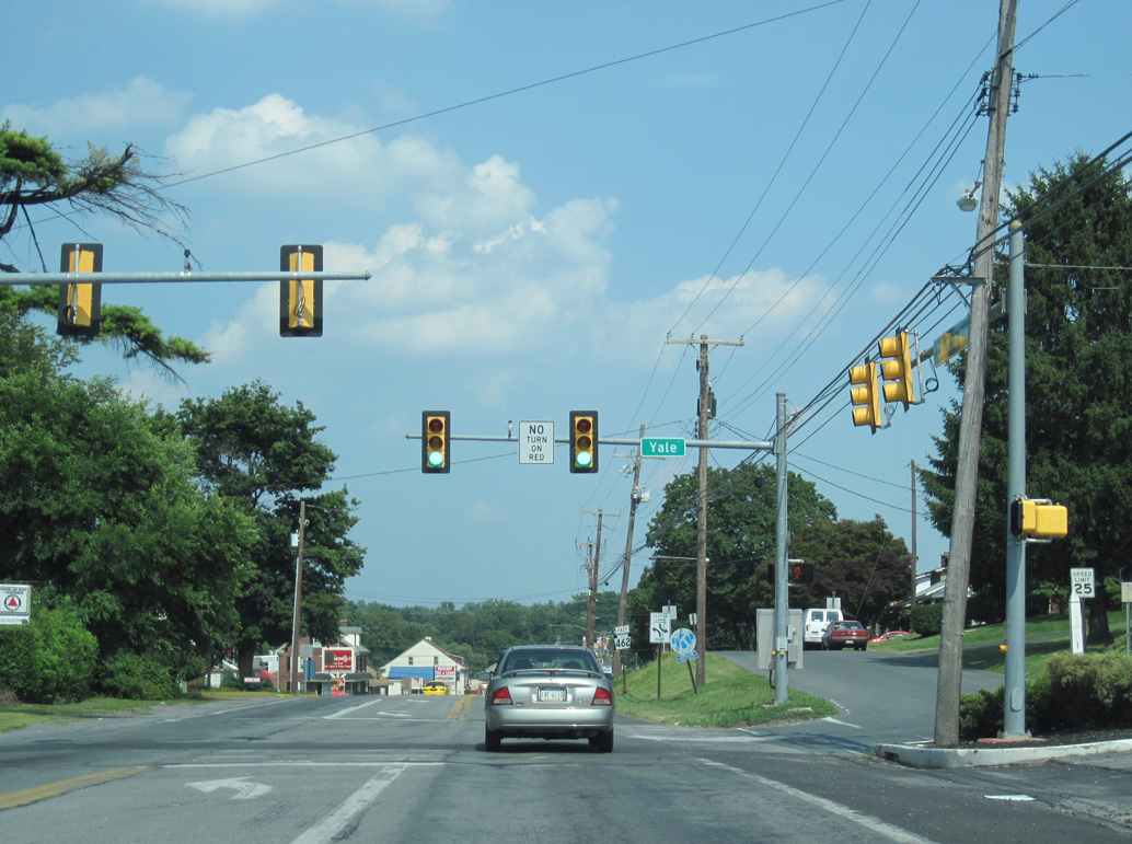
PA 462 (Hellam Street) east of 9th Street (SR 1016) north and Cool Creek Road (SR 2011) south in Wrightsville.
06/27/10
06/27/10
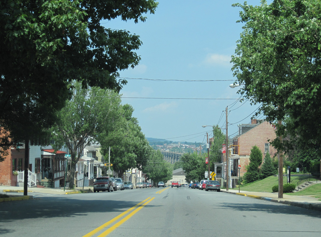
The Columbia-Wrightsville Bridge taking PA 462 across the Susquehanna River comes into view along Hellam Street east at 3rd Street.
06/27/10
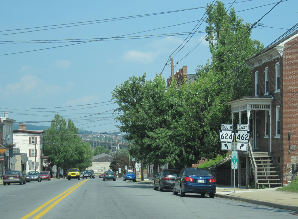
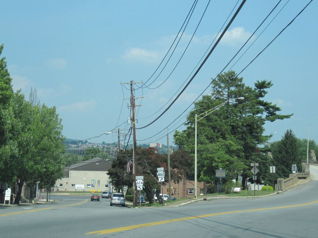
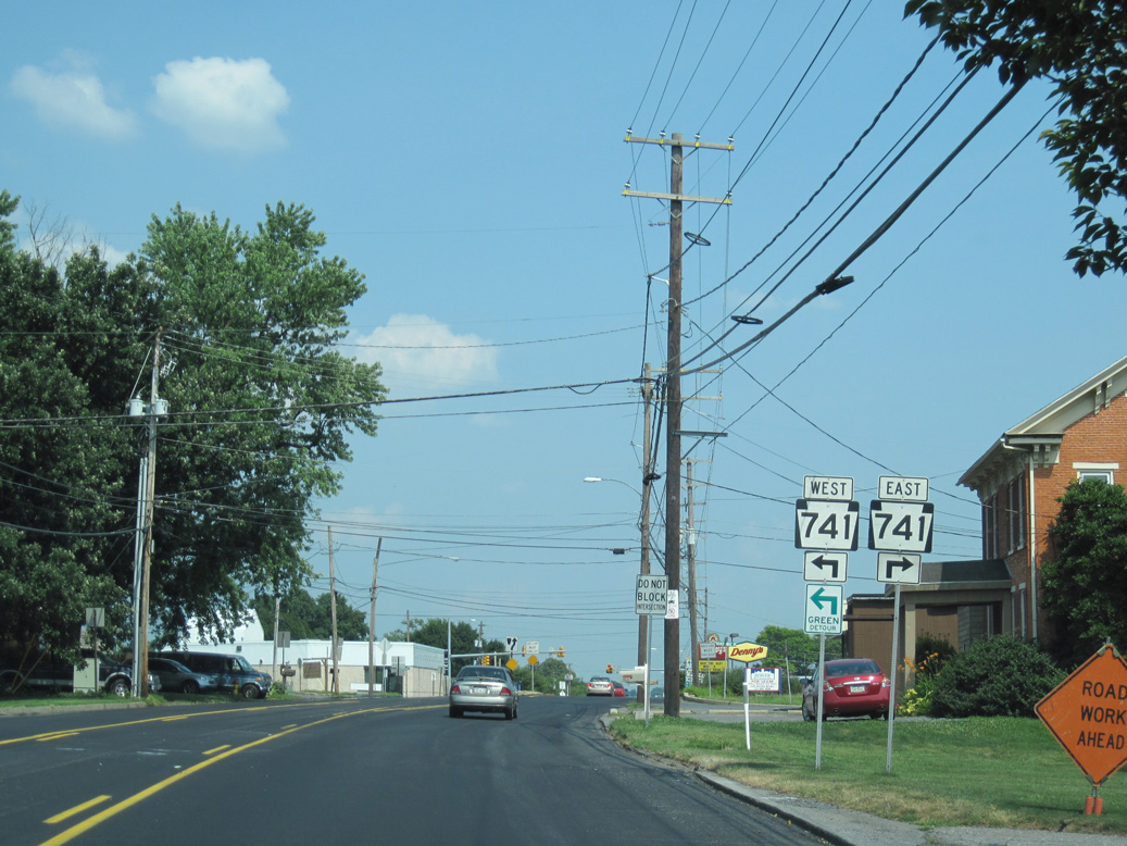
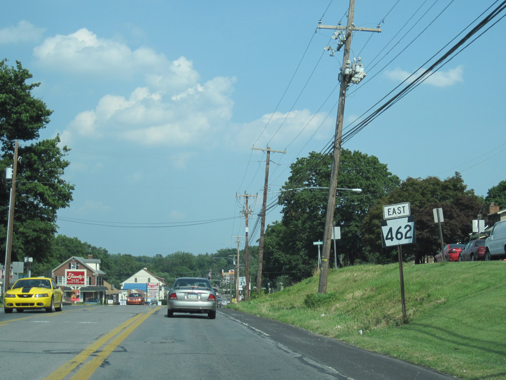
PA 462 splits with Hellam Street at the north end of PA 624.
06/27/10
PA 624 runs along the Susquehanna River south from Wrightsville to Long Level, where it turns west to Windsor and Red Lion.
06/27/10
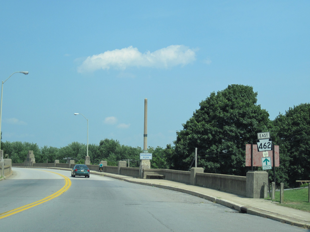
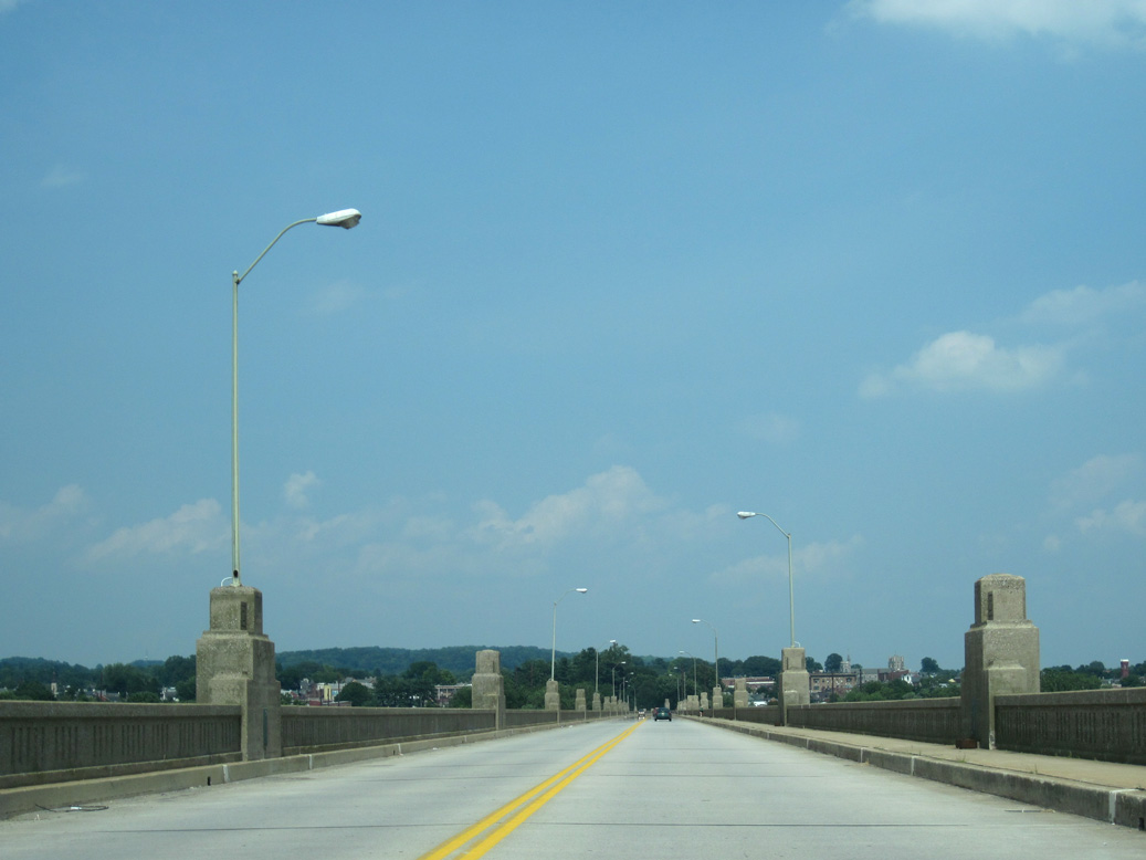
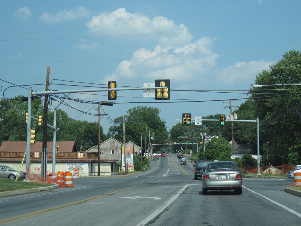
PA 462 ascends onto the Columbia-Wrightsville Bridge above PA 624 on Front Street.
06/27/10
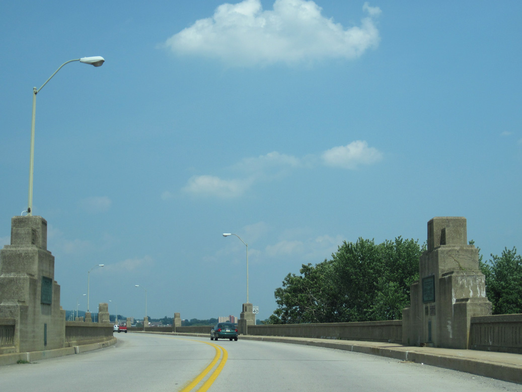
PA 462 enters Lancaster County over the west banks of the Susquehanna River.
06/27/10
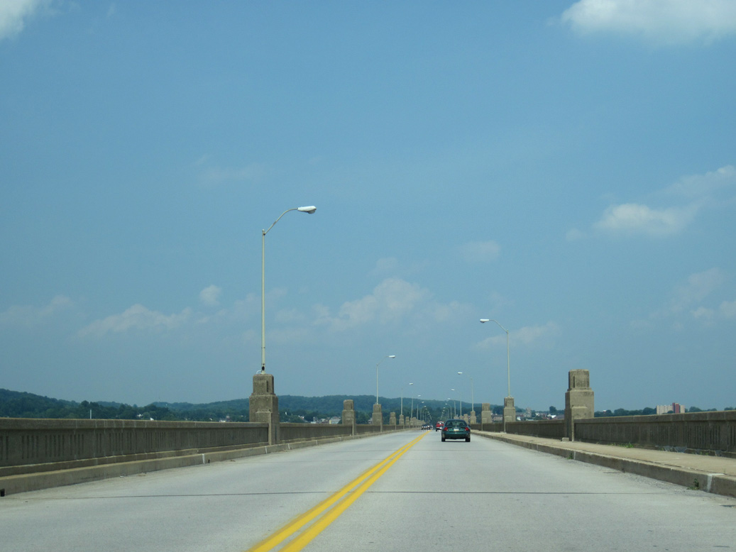
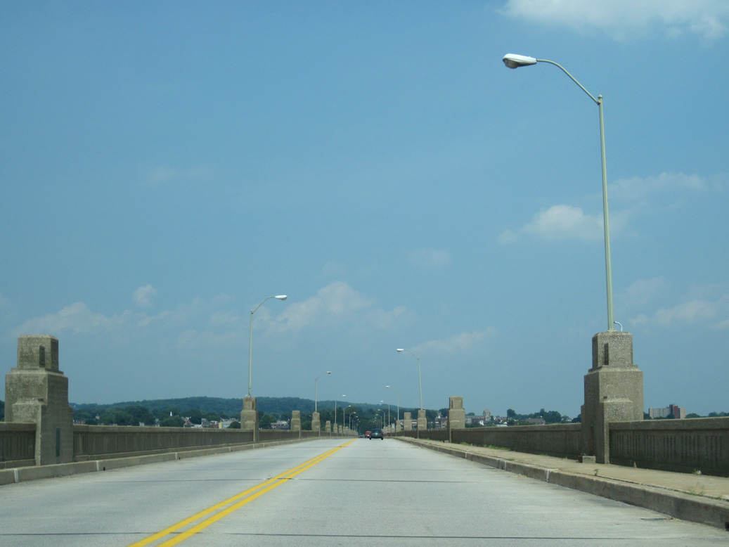
The Columbia-Wrightsville Bridge was renamed the Veterans Memorial Bridge.
06/27/10
06/27/10
06/27/10
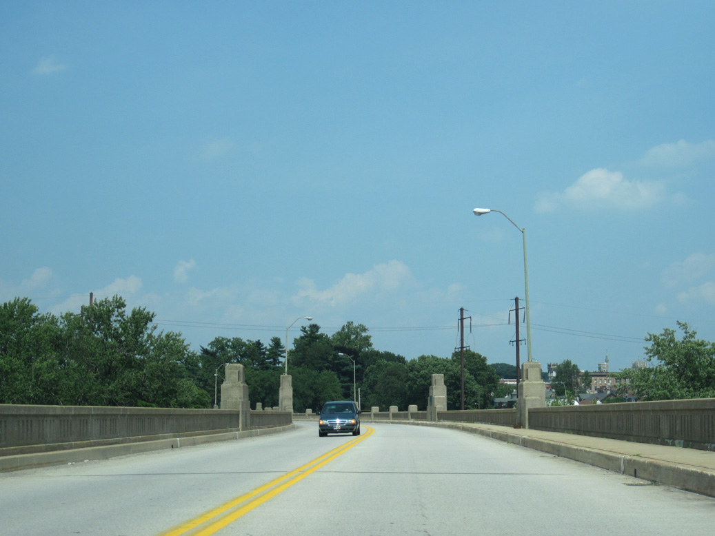
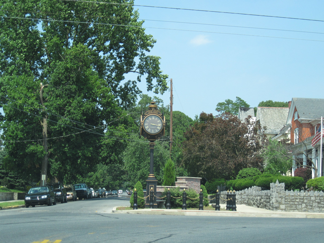
PA 462 continues from the Veterans Memorial Bridge onto Chestnut Street ahead of Downtown Columbia.
06/27/10
PA 441 was relocated west along Front Street below the Veterans Memorial Bridge to provide a truck bypass of Columbia in 2015.
06/27/10
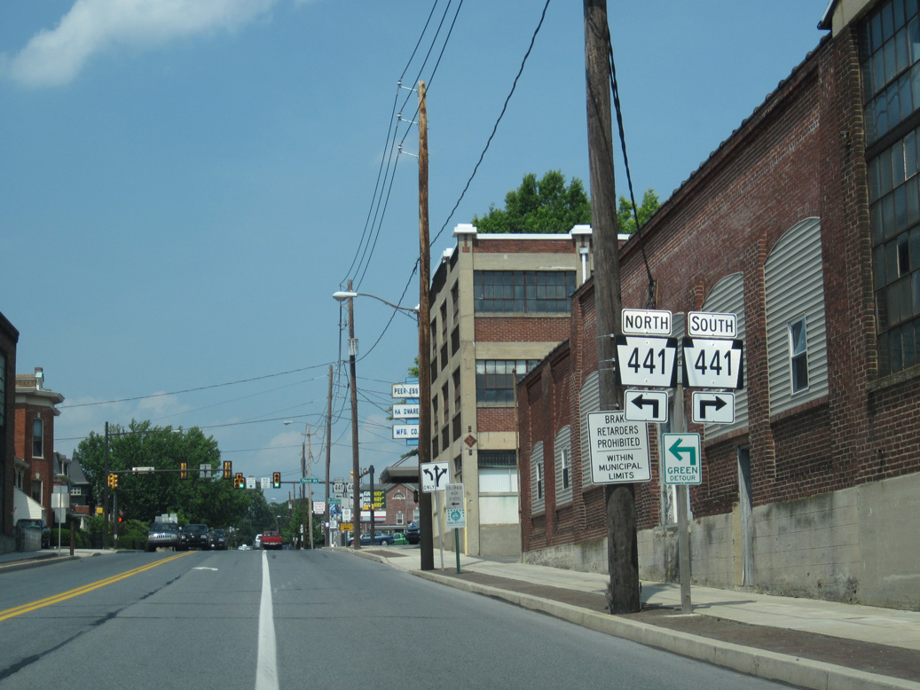
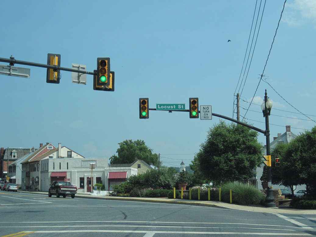
PA 441 in Columbia formerly followed 3rd Street north to U.S. 30 at Chickies Hill Road and south to Locust Street.
06/27/10
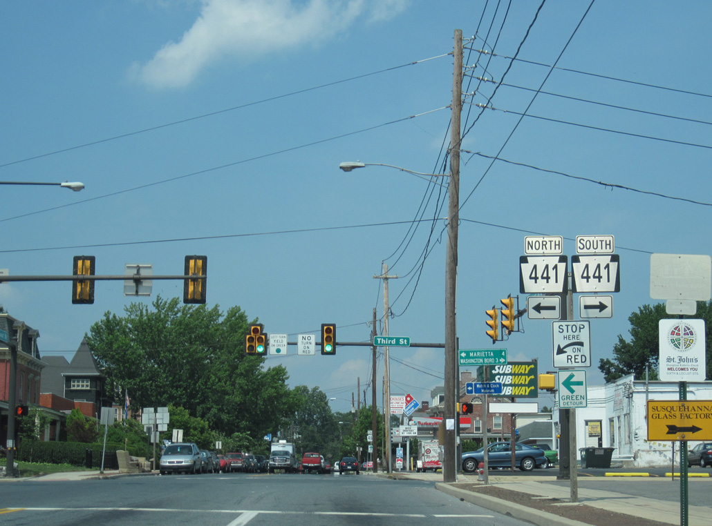
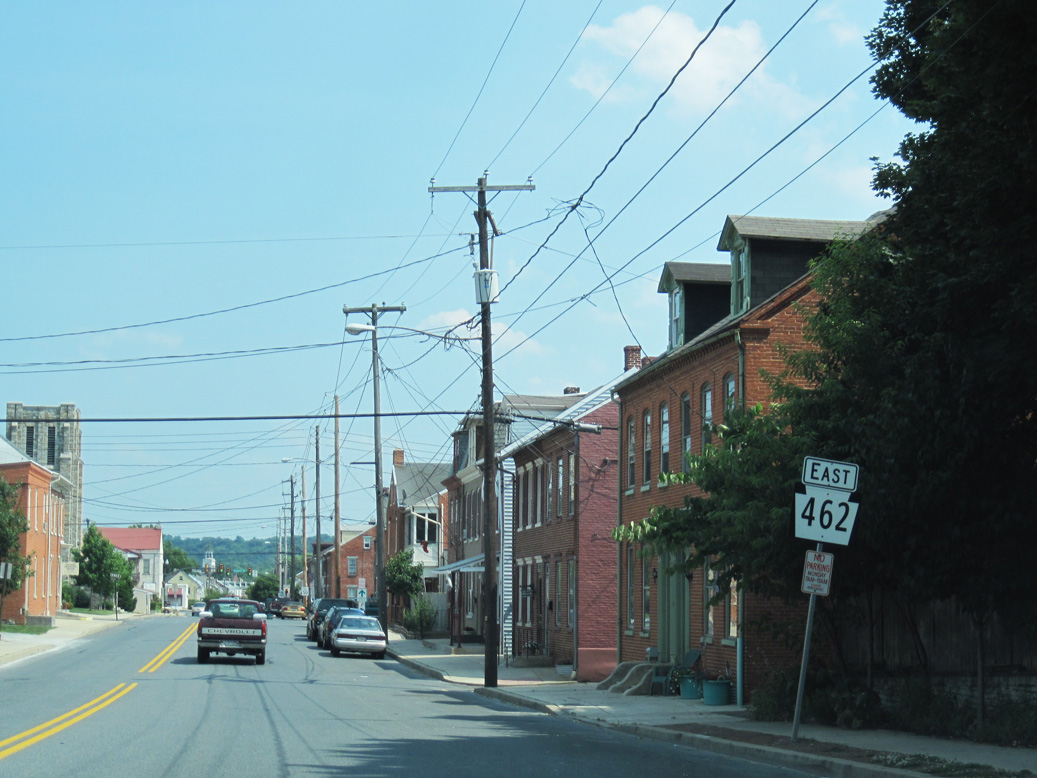
PA 441 follows Chickies Hill Road north from Front Street in Columbia to Chickies and the borough of Marietta. South along the Susquehanna River, PA 441 concludes at PA 999 in Washington Boro.
06/27/10
06/27/10
PA 462 turns south from Chestnut Street onto Fifth Street in Columbia.
06/27/10
06/27/10
06/27/10
PA 462 continues along 5th Street southeast to Lancaster Avenue.
06/27/10
06/27/10
Reassurance marker posted east of 8th Street north and Union Street west on Lancaster Avenue in Columbia.
06/27/10

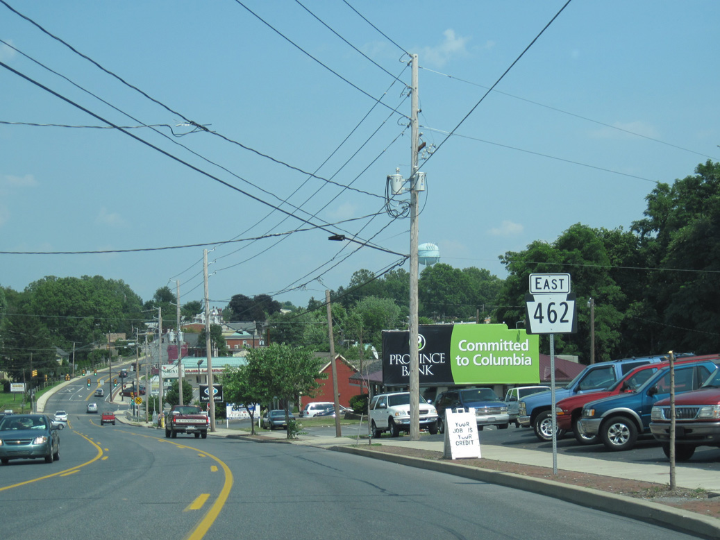
PA 462 (Lancaster Avenue) crosses the Herbert Cubby Spiese Bridge over Shawnee Run. The adjacent signal operates at Columbia Plaza retail center.
06/27/10
The reassurance marker for PA 462 at 13th Street was removed in 2016.
06/27/10
06/27/10
06/27/10
06/27/10
06/27/10
06/27/10
06/27/10
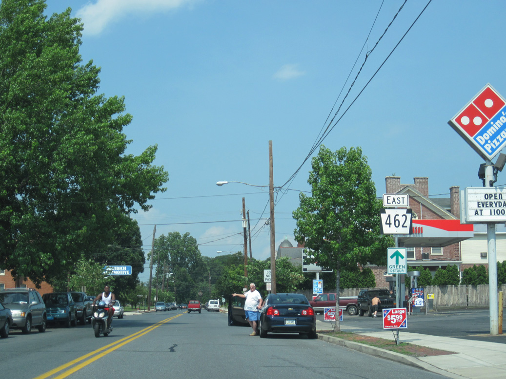
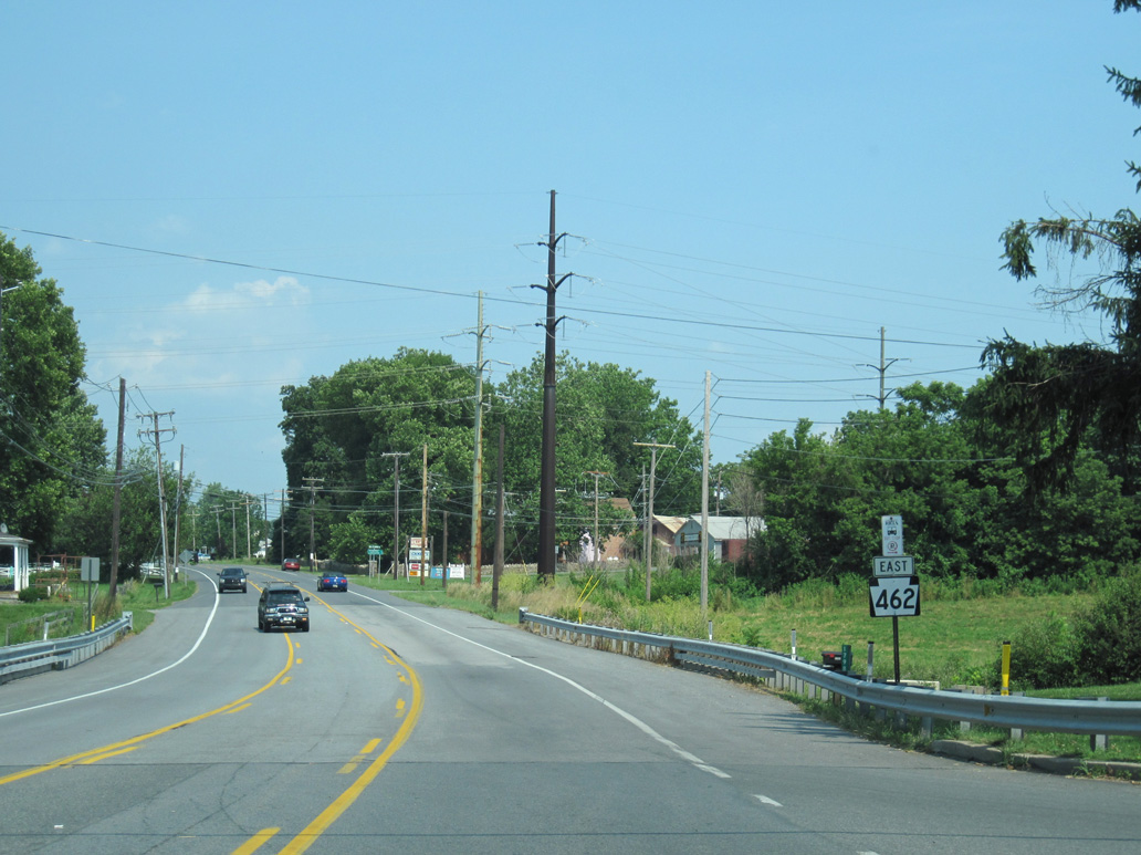
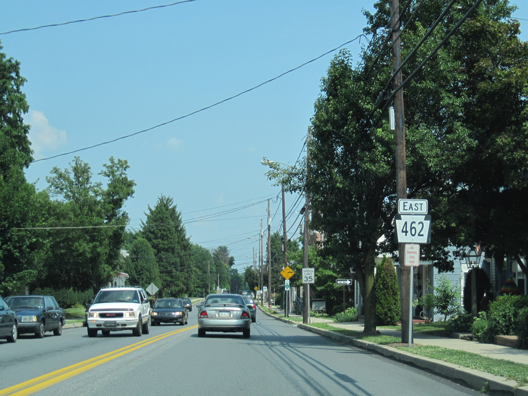
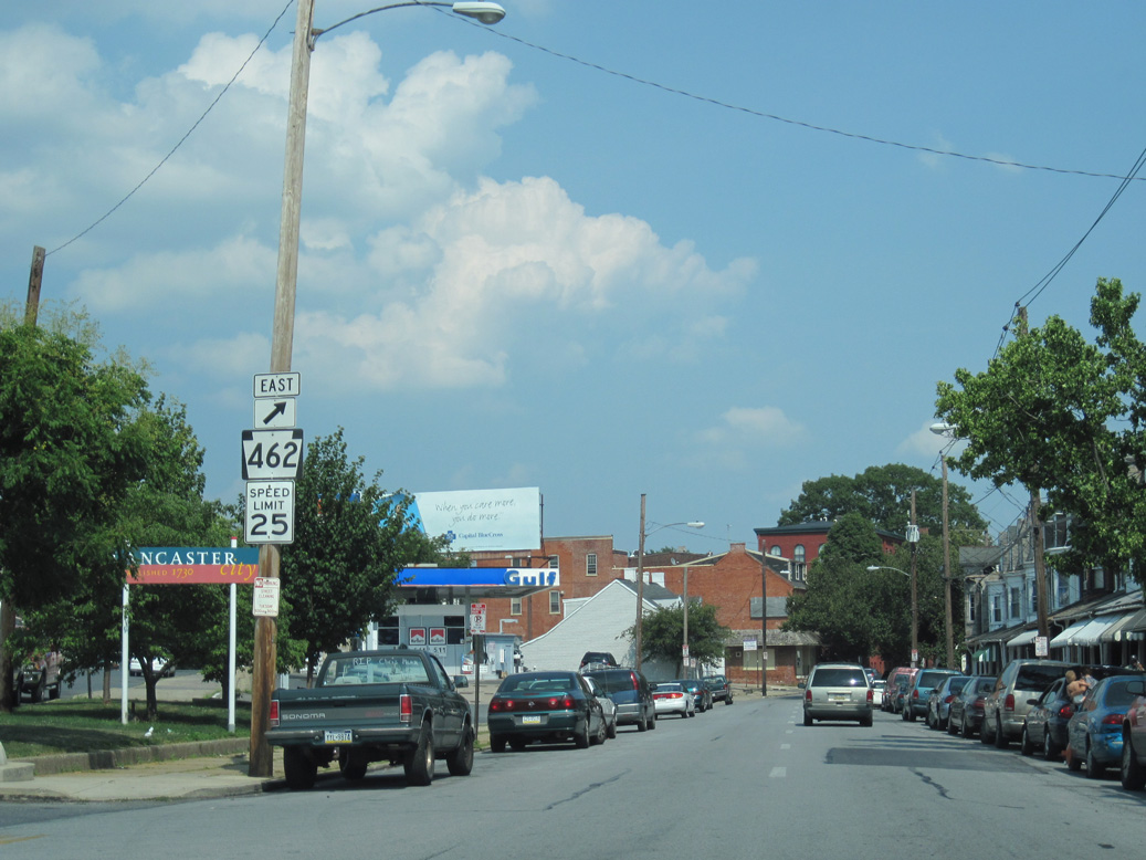
PA 462 (Main Street) east of Pearl Street and Froelich Park in the borough of Mountville.
06/27/10
06/27/10
06/27/10
06/27/10
06/27/10
06/27/10

06/27/10
06/27/10
06/27/10
06/27/10

06/27/10
06/27/10
06/27/10
06/27/10
06/27/10
06/27/10
06/27/10
06/27/10
06/27/10
06/27/10
06/27/10

06/27/10
06/27/10
06/27/10
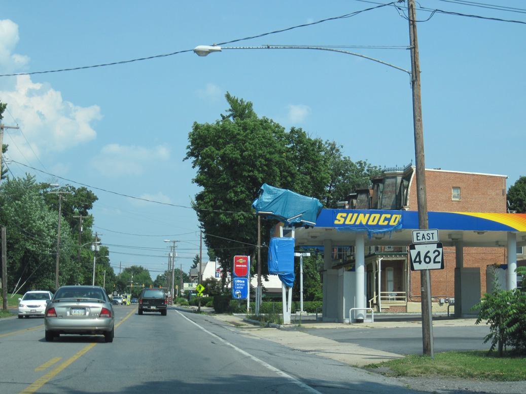
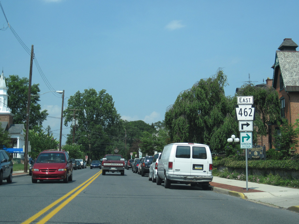
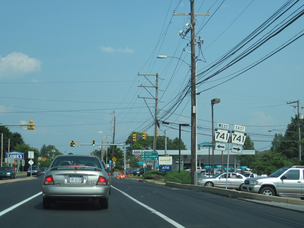
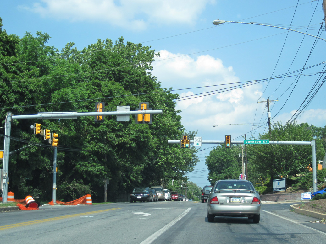
Eastbound PA 462 (Columbia Avenue) partitions with westbound at Race Avenue along the Lancaster city line.
06/27/10
06/27/10
06/27/10
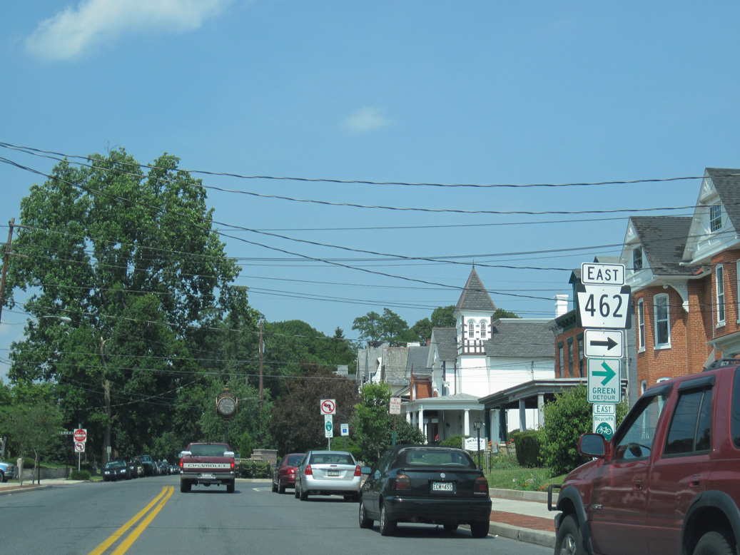
PA 462 shifts onto King Street east at Orange Street (SR 1002) west and Ruby Street south.
06/27/10
Marietta Avenue merges with PA 462 (King Street) east by Crystal Park.
06/27/10

PA 999 (Manor Street) angles northeast from Millersville and Bausman to conclude at PA 462 (King Street) in Lancaster.
06/27/10
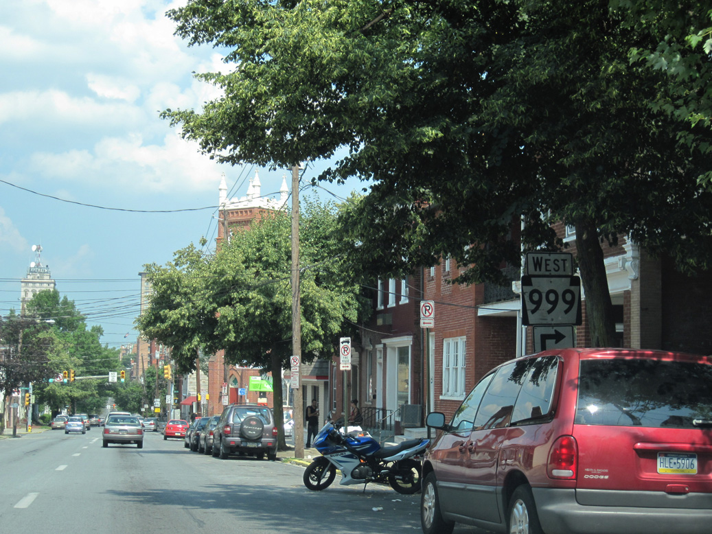
PA 999 runs 9.4 miles west from PA 462 to PA 441 at Washington Boro.
06/27/10

06/27/10
06/27/10
06/27/10
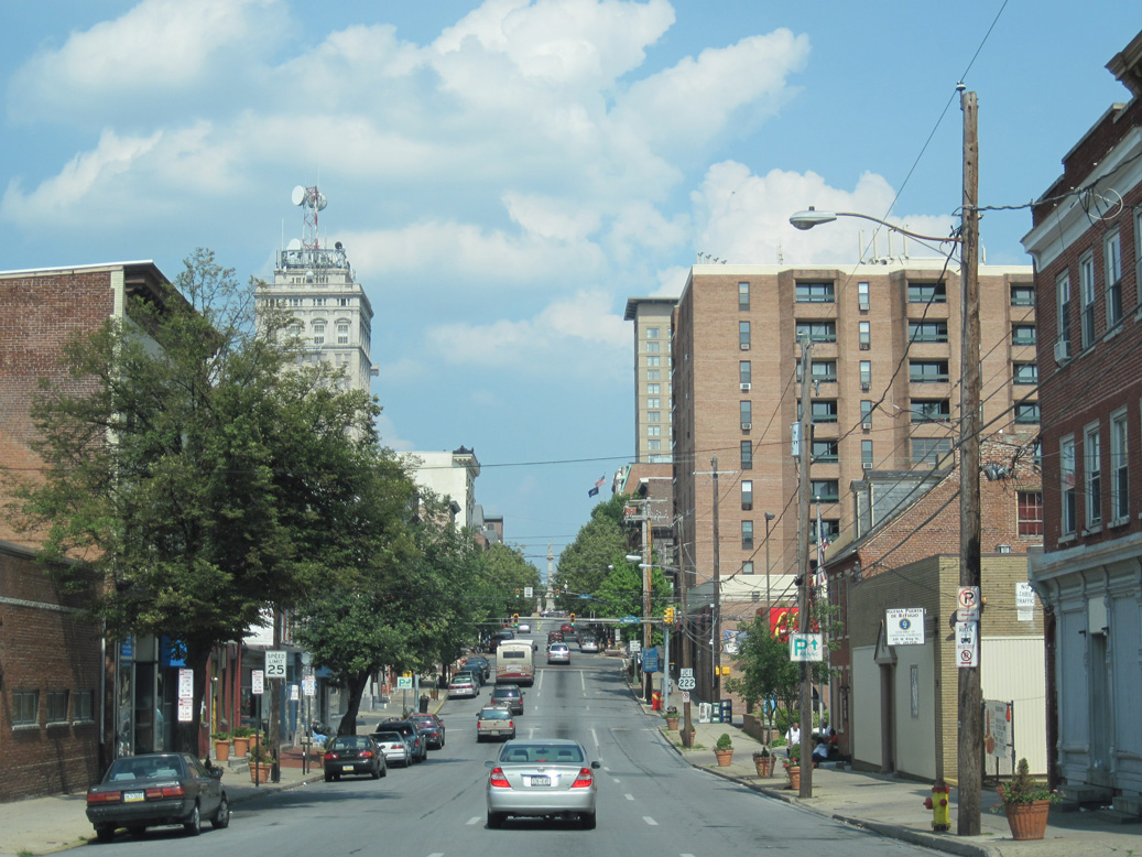
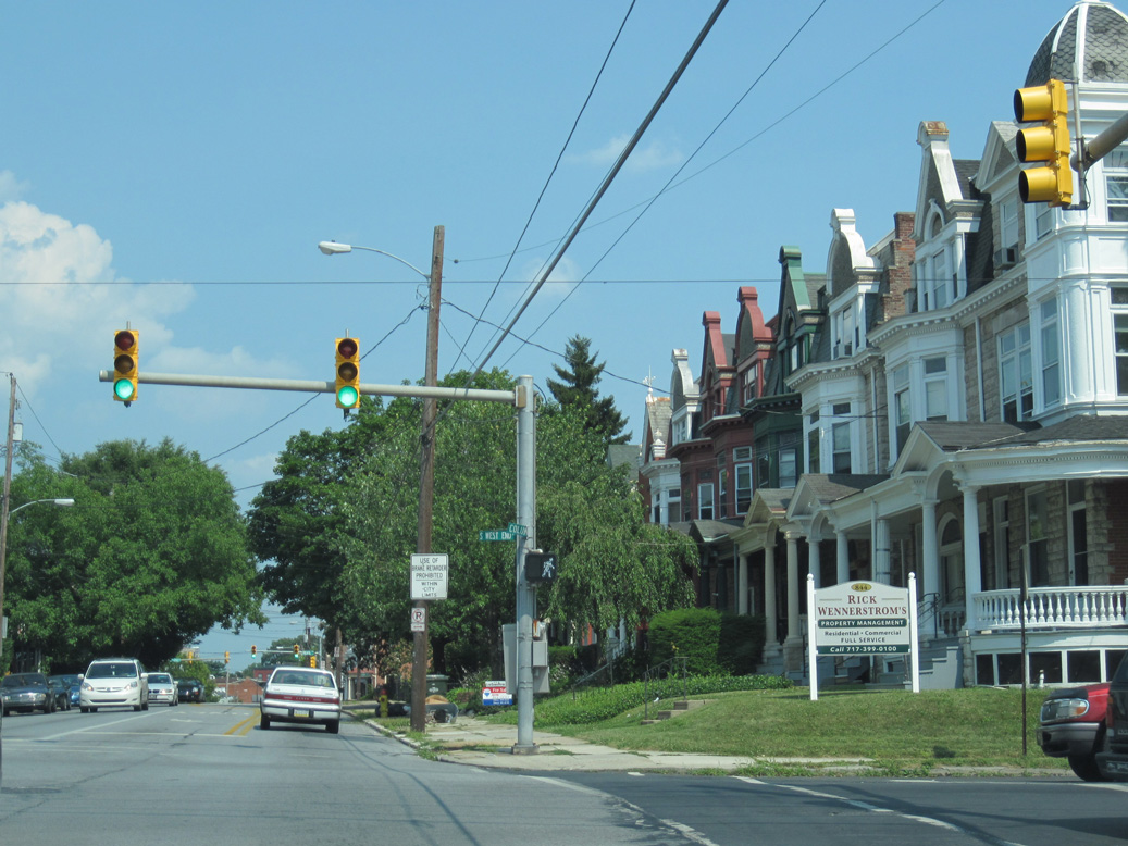
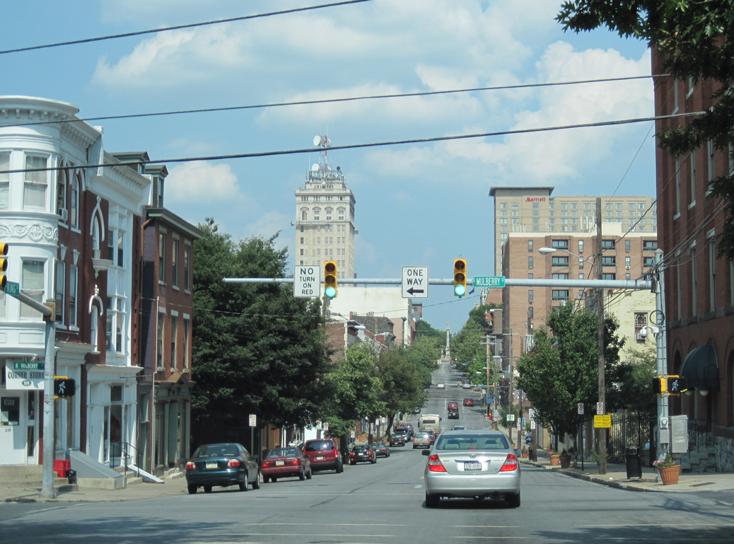
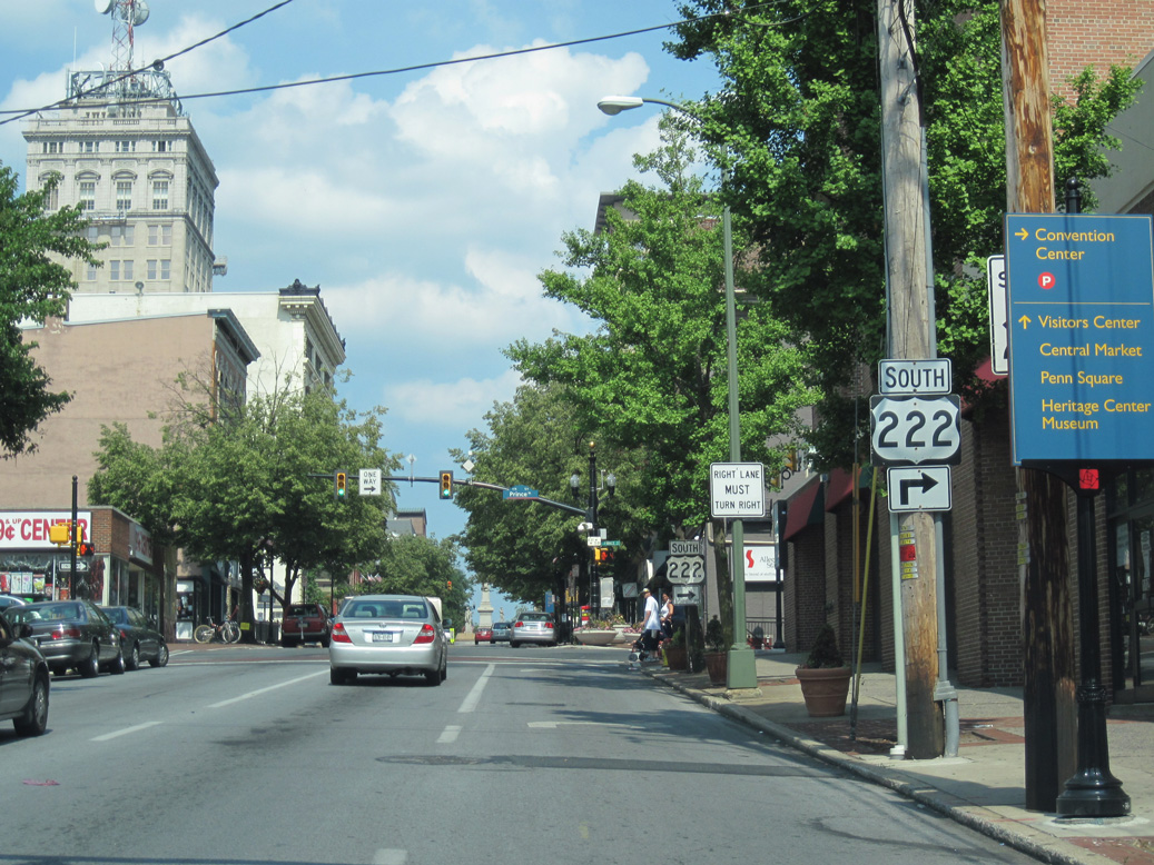
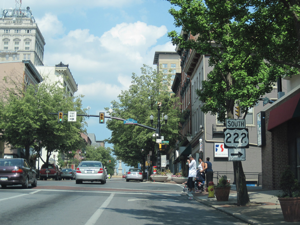
PA 462 (King Street) advances east into Downtown Lancaster.
06/27/10

06/27/10
06/27/10
06/27/10
Photo Credits:
06/27/10 by AARoads
Connect with:
Interstate 83
Business Loop I-83
U.S. 30
U.S. 222
Route 24
Route 272
Route 340
Page Updated 02-04-2021.