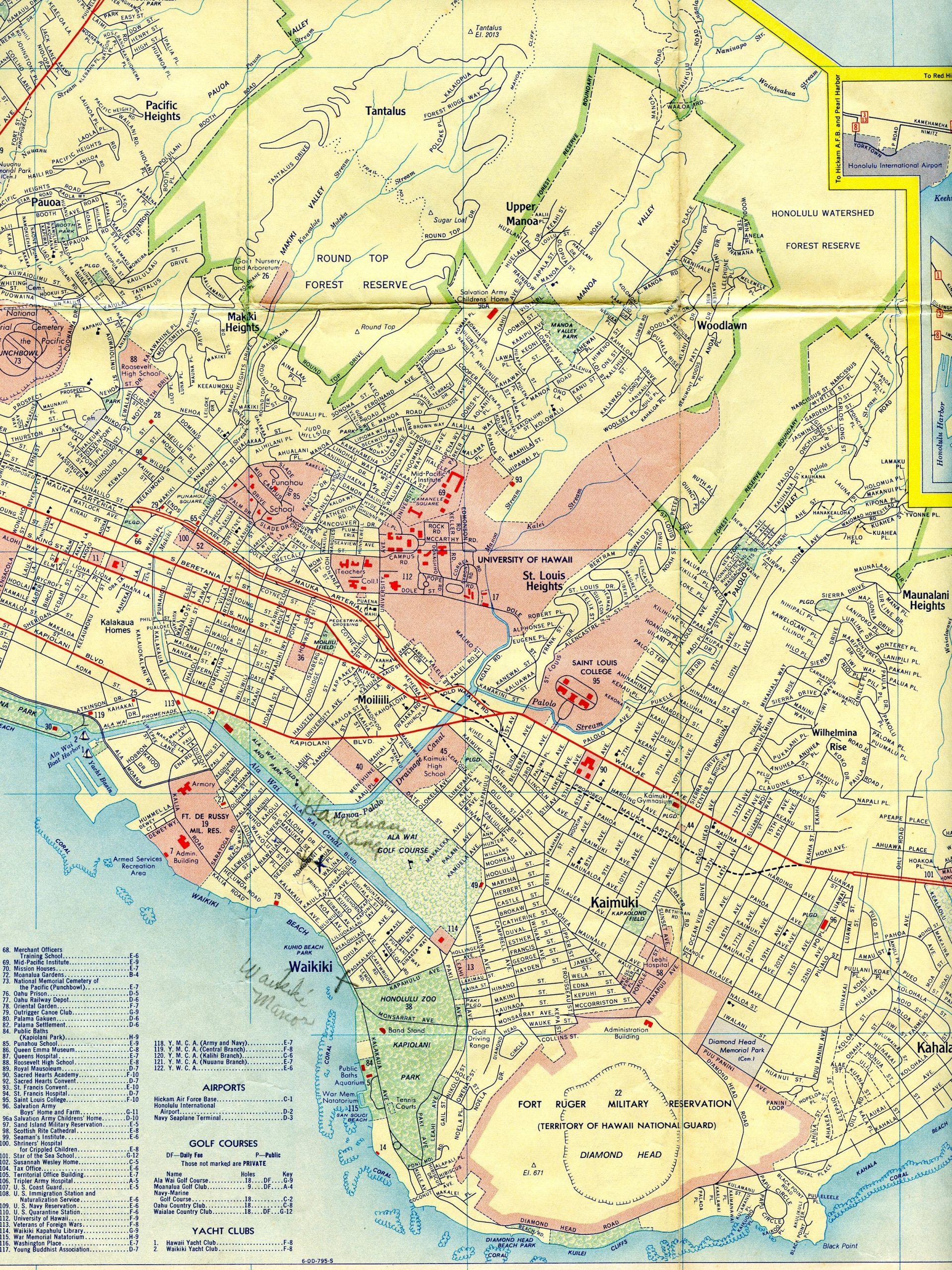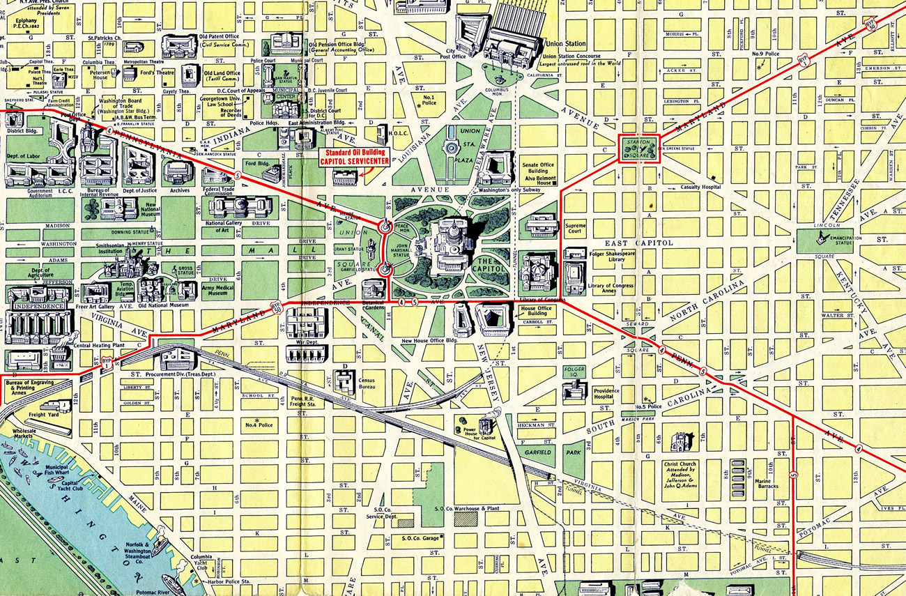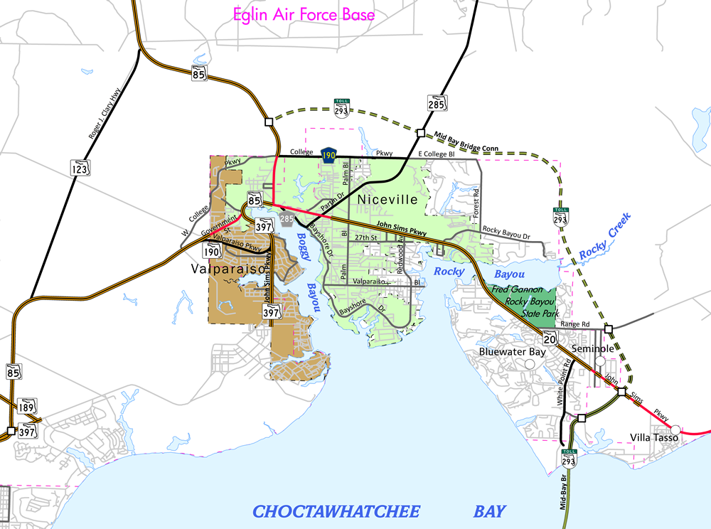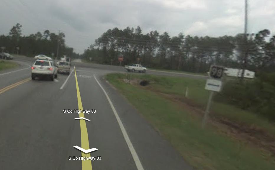
Map Finds from February 15th
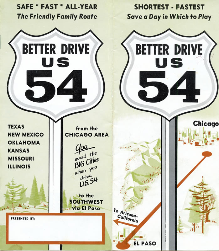
Occasionally we make trips out to area flea markets, swap meets and antique stores in the search for more maps to add to our growing collection. The majority of these are open on weekends, with others, like New Castle Farmers Market's outdoor flea market in Delaware (a long time favorite of mine), open on Friday as well. Some of the largest flea markets in the county operate on weekdays and [...]