SR 40 is a cross peninsula highway joining Marion County and Ocala with Ormond Beach and the Atlantic Coast. Stretching 91.44 miles east, SR 40 begins from U.S. 41 north of Dunellon. The state road heads into Ocala along Silver Springs Boulevard, meeting I-75 at Exit 352 and U.S. 27/301/441 (Pine Avenue) in Downtown.
Shifting northeast, SR 40 heads to the community of Silver Springs and Silver Springs State Park. SR 40 spans the Ocklawaha River across a high level bridge originally built the planned Cross Florida Barge Canal. The rural highway traverses areas of Ocala National Forest east to SR 19 adjacent to the Lake County line.
Continuing across Ocala National Forest in Lake County, SR 40 advances east by Wildcat Lake to Astor Park and across the St. Johns River as Astor. Through western Volusia County, SR 40 remains rural along Lake George State Forest east to U.S. 17 at Barberville.
Expanding into a four lane, divided highway, SR 40 reaches the western limits of Ormond Beach north of Rima Ridge. Suburban development spreads north of SR 40 along the Little Tomoka River and east toward the commercialized interchange (Exit 268) with Interstate 95.
Following Granada Boulevard, SR 40 constitutes a congested arterial northeast from I-95 to U.S. 1 (Yonge Street) in central Ormond Beach. SR 40 spans the Halifax River over the Granada Bridge and concludes at SR A1A (Atlantic Avenue) next to the Atlantic Ocean.
Florida State Road 40 Guides
County Road 40 extends 20.40 miles west from U.S. 41 in Dunnellon to Withlacoochee Bay in Yankeetown. Paralleling the Withlacoochee River, CR 40 traverses coastal areas along Follow That Dream Parkway to Pumpkin Island and CR 40A at 63rd Street north of Yankeetown town hall. CR 40 continues east into Inglis, meeting U.S. 19/98 east of Town Hall.
East of Inglis, CR 40 passes north of Lake Rousseau to CR 336, which combines with the route 4.19 miles east onto Cedar Street and Pennsylvania Avenue in Dunnellon. CR 40/336 conclude at U.S. 41 across from CR 484 east to Belleview.
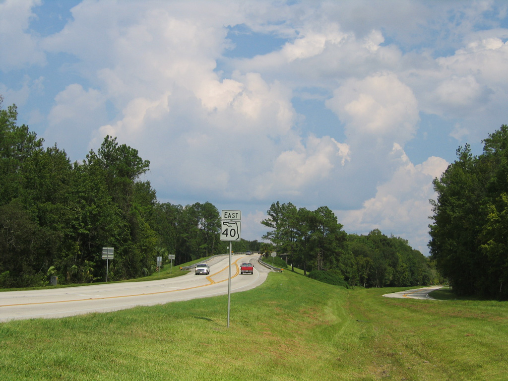
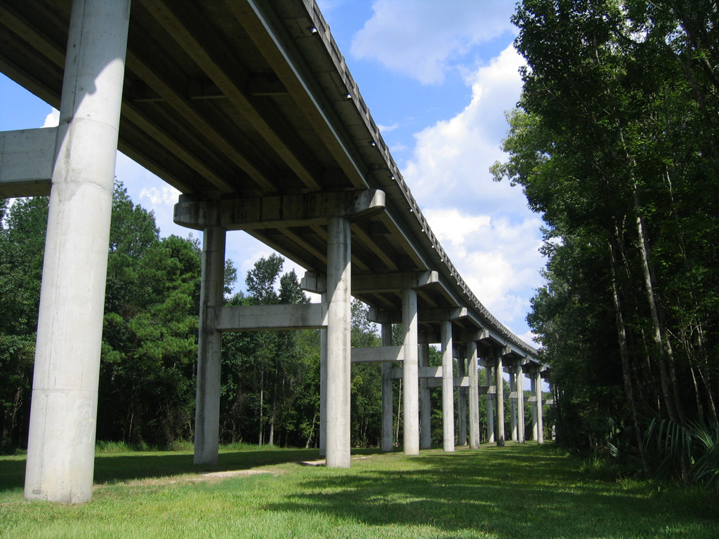
State Road 40 at the R.N. Bert Dosh Bridge spanning the Ocklawaha River in eastern Marion County. 09/04/06, 11/14/16
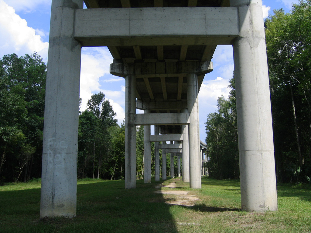
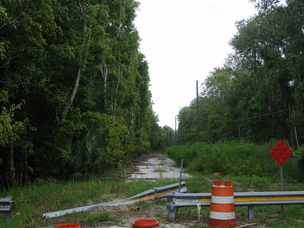
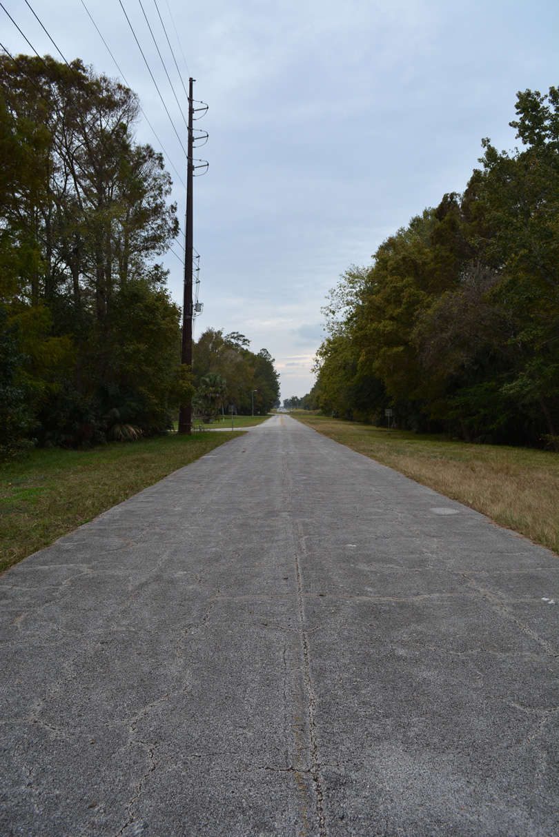
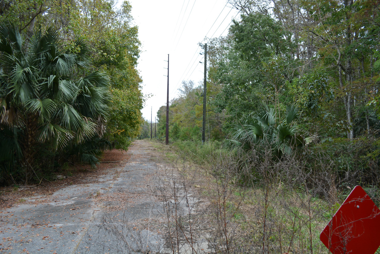
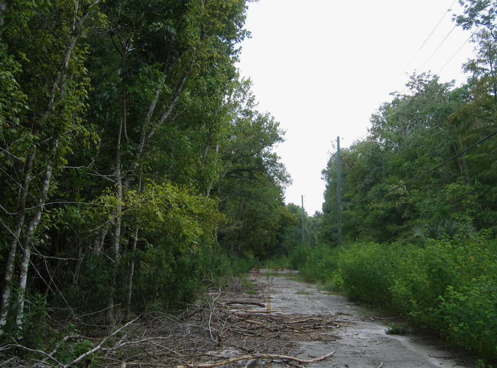
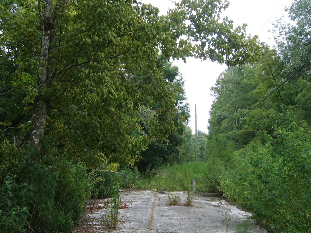
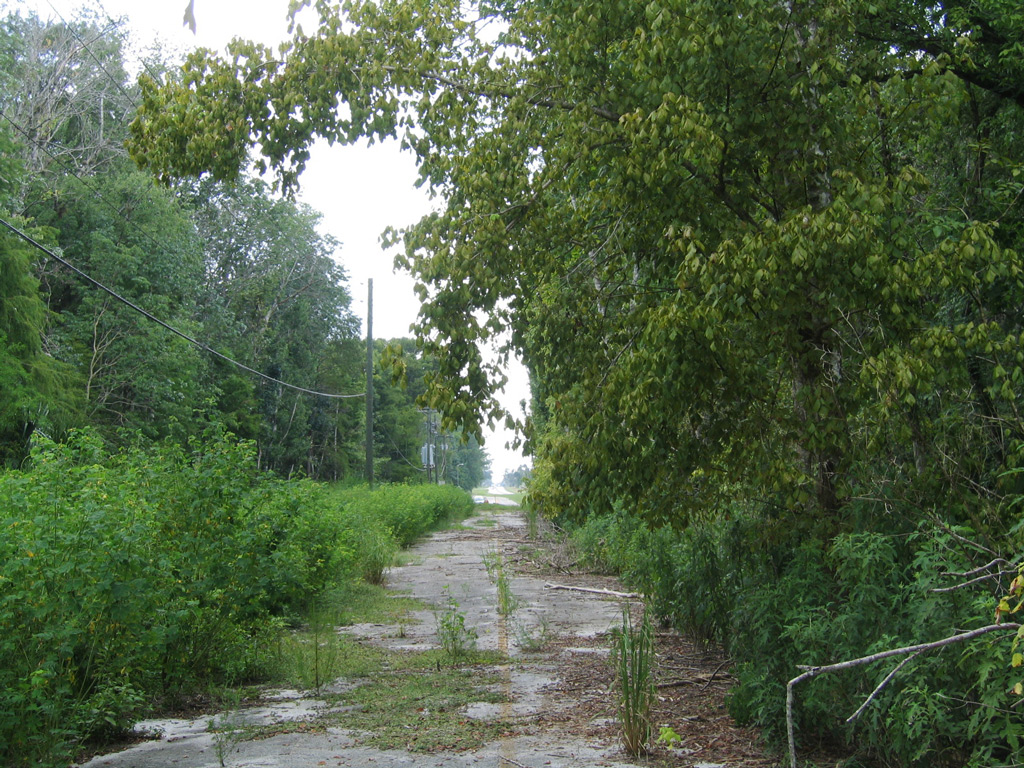
State Road 40 crosses the Ocklawaha River east between Silver Springs and Nuby's Corner over the R.N. Bert Dosh Bridge. The high level span was constructed to accommodate ship traffic along the planned Cross Florida Barge Canal. Completed in 1972, two years after the canal was canceled, the bridge over the Ocklawaha River ascends to a height of 42.7 feet,1 mostly above wetlands or forest adjacent to the river. Construction of the crossing included slightly realigning SR 40 northward and a portion of the old alignment along NE 28th Lane was repurposed as an access road to Ray Wayside Park. Partially impassable, an additional 750 foot long section of roadway extends east from the park entrance as well.
- SR-40 over Ocklawaha River. BridgeReports.com.
Connect with:
Interstate 75
Interstate 95
U.S. 1
U.S. 17
U.S. 27
U.S. 41
U.S. 301
U.S. 441
State Road A1A
State Road 5A - Nova Road
State Road 11
State Road 19
State Road 35
State Road 326 / County Road 326
State Road 492
County Road 315
Page Updated 10-25-2022.

