

U.S. 151 originates in eastern Iowa County and travels northeast overall to Manitowoc, Wisconsin. Within the Hawkeye State, U.S. 151 begins at Interstate 80, 11 miles south of Amana, and follows a two-lane route northeast to Fairfax and Cedar Rapids. Combining with U.S. 30 and U.S. 218, U.S. 151 bypasses the south side of Cedar Rapids along a freeway / expressway to Iowa 13. Iowa 13 leads the route north through Bertram to Marion, where U.S. 151 resumes and easterly heading to Anamosa. With realignment around Cedar Rapids in 1989, the former route of U.S. 151 through Downtown Cedar Rapids is U.S. 151 Business (Iowa 922).1
Northeast from Anamosa, U.S. 151 varies as an expressway with freeway bypasses of Monticello and Cascade. Heading into Dubuque, U.S. 151 overlaps with U.S. 61, then U.S. 52 along an expressway toward Downtown and the Dubuque-Wisconsin Bridge spanning the Mississippi River. Within Iowa, U.S. 151 measures 108 miles in length.
U.S. 151 Iowa Guides
- North
- U.S. 30/151 North - Linn County
- U.S. 61/151 North - Dubuque
- U.S. 61/151 South - Dubuque
- South
- Business - Cedar Rapids
- Business - Cascade
U.S. 151 ended at U.S. 30/218 southwest of Downtown Cedar Rapids until September 19, 1985, when the highway was extended over Iowa 149 to Anama Colonies, and along a new alignment south from U.S. 6 to I-80 at Exit 225.1 AASHTO initially denied the Iowa request to extend U.S. 151 south on June 9, 1986, and again on November 8, 1986. AASHTO approval finally came on April 21, 1996, which by then factored in the Lincoln Freeway taking U.S. 30/218 across the south side of Cedar Rapids. The application to AASHTO outlined the new route as extending 14.12 miles over an existing facility (Iowa 149) to Iowa 220, then following Iowa 220 south 2.99 miles to U.S. 6, overlapping with U.S. 6 west 1.93 miles, and then continuing south 5.65 miles to I-80 in Williamsburg.
AASHTO subsequently approved the Iowa application for U.S. 151 Business through Cedar Rapids and Marion along a 12.52 mile route on April 27, 1997. Other changes along U.S. 151 were approved by AASHTO on May 30, 2003, including the realignment of the highway onto the 4.22 mile long Monticello bypass, with a 6.93 mile long business loop established along the former alignment. The realignment of U.S. 151 around the north side of Cascade was approved by AASHTO on October 7, 2003, which outlined a 5.72 mile long business loop.
 scenes scenes |
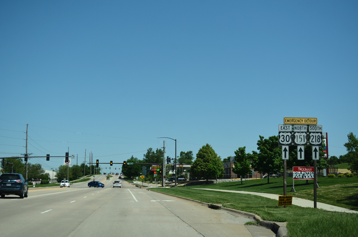 | Edgewood Road north to U.S. 151 Business provides part of an emergency detour for U.S. 30/151/218 along the Lincoln Freeway in south Cedar Rapids. 05/26/18 |
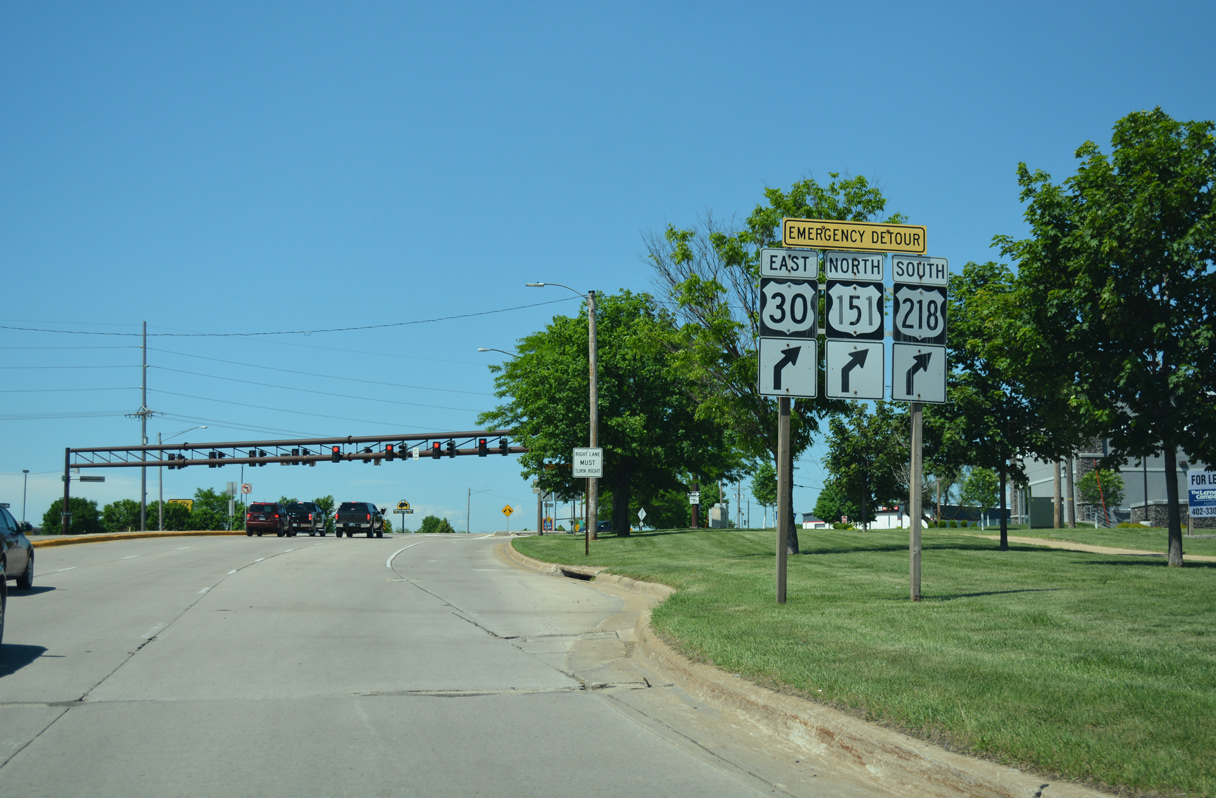 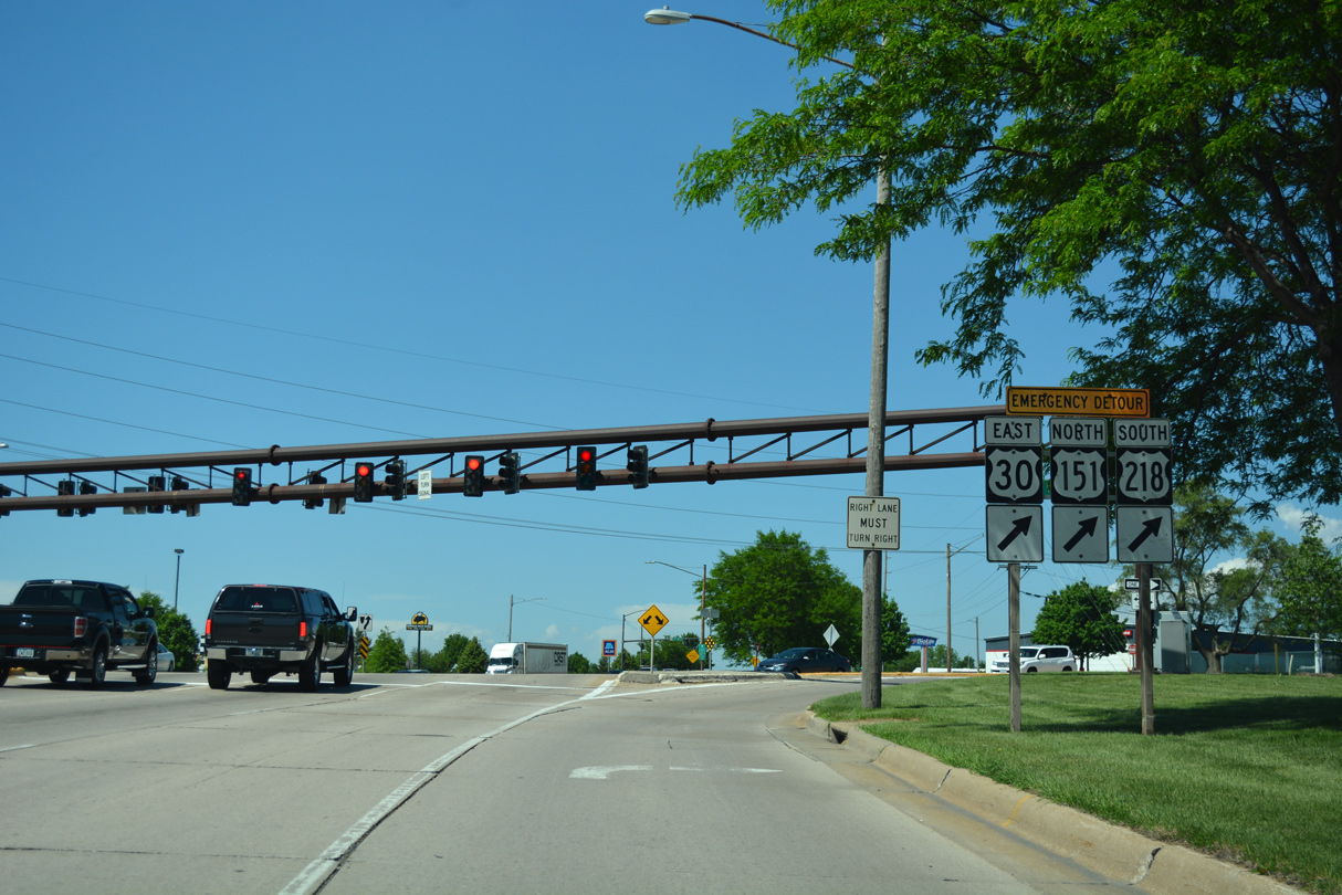 | The emergency detour for U.S. 30 east, U.S. 151 north and U.S. 218 south follows U.S. 151 Business (Williams Boulevard) north from Edgewood Road in Cedar Rapids. 05/26/18 |
- U.S. 151. The Iowa Highways Page (Jason Hancock).
Photo Credits:
05/26/18 by AARoads
Connect with:
Interstate 80
Interstate 380
U.S. 6
U.S. 20
U.S. 30
U.S. 52
U.S. 218
Highway 64
Highway 136
Page Updated 12-19-2019.