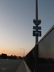
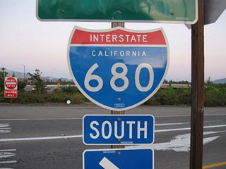
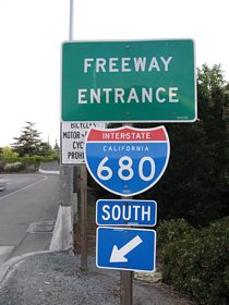
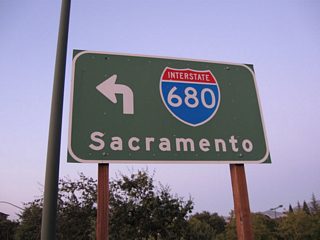
The original Benicia-Martinez Bridge opened to traffic on September 15, 1962. Named the George Miller, Jr. Bridge, the deck truss span totals 1.2 miles in length. Providing a vertical clearance of 138 feet, the new 1.7 mile long segmented concrete span, the George Miller III Bridge, opened on August 25, 2007.1 12/29/04
Interstate 680 runs from I-80 near Cordelia south to San Jose through the East Bay. The commuter freeway connects a number of cities including Milpitas, Fremont, Pleasanton, San Ramon, Danville, Alamo, Walnut Creek, Concord and Benicia in the eastern suburbs of the San Francisco Bay Area. It is a heavily traveled route that was expanded and widened in several locations.
Interstate 680 California Guides
I-680 Sunol Express Lanes
A southbound express toll lane accompanies 14 miles of Interstate 680, from SR 84 near Pleasanton to SR 237 in Milpitas. The express lanes allows drivers of single occupant vehicles to use the lane for a variable toll rate paid electronically with a FasTrak transponder. Carpools, eligible clean air vehicles, motorcycles and transit vehicles can use the express lane free of charge. Rates can change in 15 minute increments based upon traffic flow in the general travel lanes.
Construction on the $41,134,000 southbound I-680 Sunol Express Lanes started in October 2008. The new lane opened to traffic on September 20, 2010.2 The I-680 Sunol Northbound Express Lane Project commenced on March 5, 2018, with a formal ground breaking ceremony taking place on April 19, 2018. The new HOV/express toll lane extends nine miles from Auto Mall Parkway to SR 84. Costing $205,784,000, construction continued through late 2020.3
Key Opening Dates of Interstate 680:
- Interstate 280 and U.S. 101 to McKee Road - September 4, 1974
- McKee Road to Hostetter Road - December 15, 1974
- Hostetter Road to California 237 - September 5, 1974
- California 237 to California 262 - March 17, 1971
- California 262 to California 238 - January 28, 1971
- California 238 to California 84 - January 9, 1964 (widened December 14th, 1990)
- California 84 to Frager Road - November 8, 1967 (widened December 14th, 1990)
- Frager Road to Stoneridge Drive - November 8, 1967 (widened December 5th, 1989)
- Stoneridge Drive to Interstate 580 - December 16, 1965 (widened December 5th, 1989)
- California 84 to Interstate 580 - November 8, 1967
- Interstate 580 to city limits of Pleasanton and Dublin - December 16, 1965
- City limits of Pleasanton and Dublin to Alcosta Boulevard - December 16, 1965 (widened May 18, 1995)
- Alcosta Boulevard to Sycamore Valley Road - January 3, 1967 (widened May 18, 1995)
- Sycamore Valley Road to South Main Street - December 1, 1964 (widened May 18, 1995)
- South Main Street to Ygnacio Valley Road - Circa 1960 (widened March 5, 1999)
- Ygnacio Valley Road to Geary Road - Circa 1956 (widened March 5, 1999)
- Geary Road to Contra Costa Boulevard - Circa 1956 (widened November 12, 1998)
- Contra Costa Boulevard to Monument Boulevard - Circa 1963 (widened January 1, 1990)
- Monument Boulevard to California 242 - Circa 1963 (widened September 7, 1974)
- California 242 to Willow Pass Road - April 21, 1964 (widened September 7, 1974)
- Willow Pass Road to Mococo Overhead - Circa 1962 (widened October 2, 1991)
- Mococo Overhead to Contra Costa-Solano County Line - Circa 1962 (widened November 12, 1991)
- Benicia-Martinez (George Miller, Jr.) Bridge - September 15, 1962 (northbound span built on August 25, 2007)
- Contra Costa-Solano County Line to Interstate 780 - December 31, 1978 (widened November 12, 1991)
- Interstate 780 to N. Ramp for Interstate 780 - July 13, 1973
- N. Ramp for Interstate 780 to Cordelia Overhead - August 22, 1966
- Cordelia Overhead to Interstate 80 - Circa 1961 (widened August 22, 1966)
|
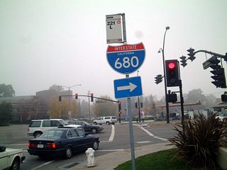
| Trailblazer for I-680 at the intersection of San Ramon Valley Boulevard north with Crow Canyon Road in the city of San Ramon. A six-ramp parclo interchange (Exit 36) joins the freeway with the six lane arterial nearby. 12/27/01 |
|
| Crow Canyon Road east at the southbound on-ramp for I-680 to Interstate 580 at Dublin and Pleasanton. 12/27/01 |
|
| Stone Valley Road west at the six-ramp parclo interchange (Exit 42) with Interstate 680 in Alamo. 10/20/00 |
|
| North Main Street spans Interstate 680 ahead of San Luis Road in Walnut Creek. A parclo B2 interchange connects the freeway with the north-south boulevard, San Luis Road and Penniman Way. 07/15/09 |
|
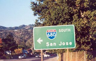
| San Luis Road stems west from a commercialized stretch of North Main Street to the adjacent on-ramp for Interstate 680 south. 07/15/09 |
|
| The ramp from I-680 south to North Main Street north in Walnut Creek ties into San Luis Road opposite the southbound entrance ramp to Oakland (via SR 24) and San Jose. 07/15/09 |
|
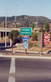
| Penniman Way links North Main Street with the freeway entrance ramp for I-680 north to Concord, the Benicia-Martinez Bridge and Sacramento (via I-80 east). 07/15/09 |
|
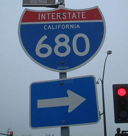
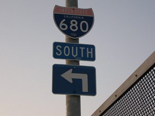
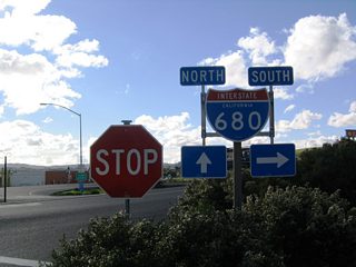
| Goodyear Road forms the east side frontage road of Interstate 680 south from Cordelia Slough and Exit 65 (Marshview Road) to the railroad siding of Bahia and the Benicia industrial park area at Lake Herman Road. This shield assembly lies across from the northbound on-ramp at Exit 61. 12/29/04 |
|
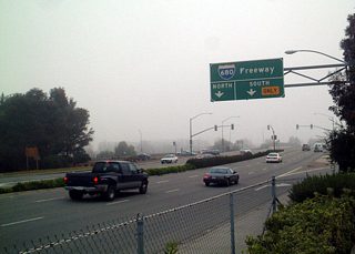
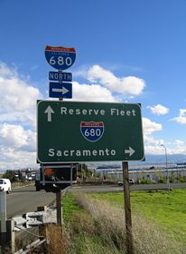
| Lake Herman Road meanders southeast between Sulphur Springs Mountain and Lake Herman to a parclo interchange (Exit 61) with Interstate 680 in northeast Benicia. The reserve fleet is located on Suisun Bay, which is the wide portion of the delta east of the Benicia-Martinez Bridge. 12/29/04 |
|
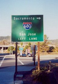
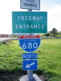
| A loop ramp joins Interstate 680 north toward Cordelia and I-80 from the intersection of Lake Herman Road and Goodyear Road in Benicia. 12/29/04 |
Photo Credits:10/20/00, 12/27/01, 12/29/04, 07/15/09 by AARoads
Connect with:
Interstate 80
Interstate 280
Interstate 580
Interstate 780
U.S. 101
State Route 24
Page Updated 06-25-2018.

 scenes


