|
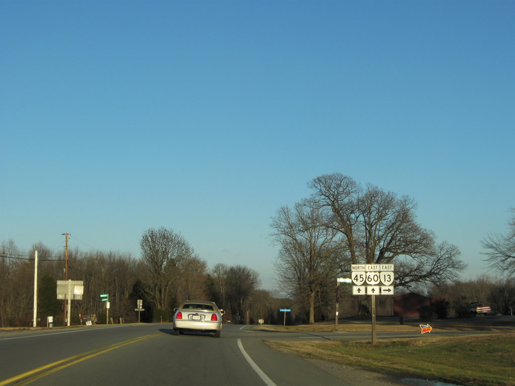
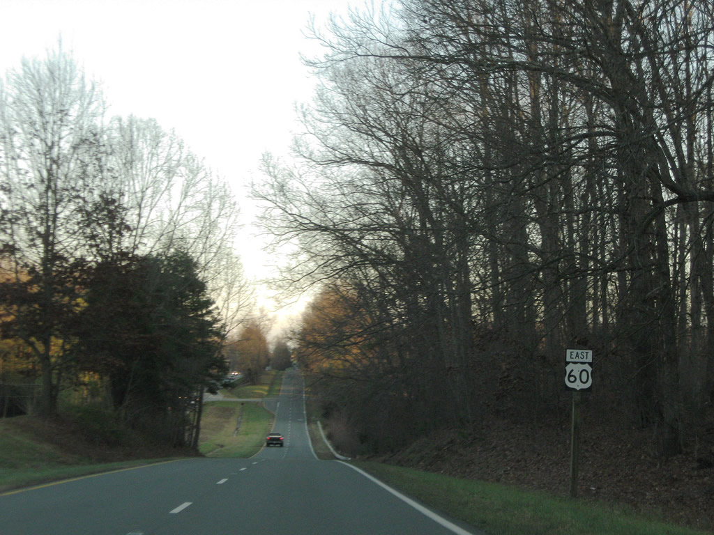
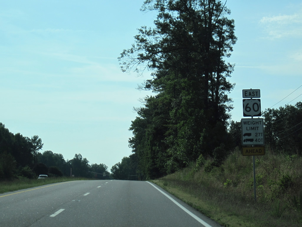
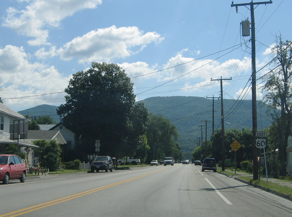
| SR 45 combines with U.S. 60 (Anderson Highway) east near Hillcrest. The two routes overlap for 4.85 miles through Cumberland Court House. 12/21/08 |
|
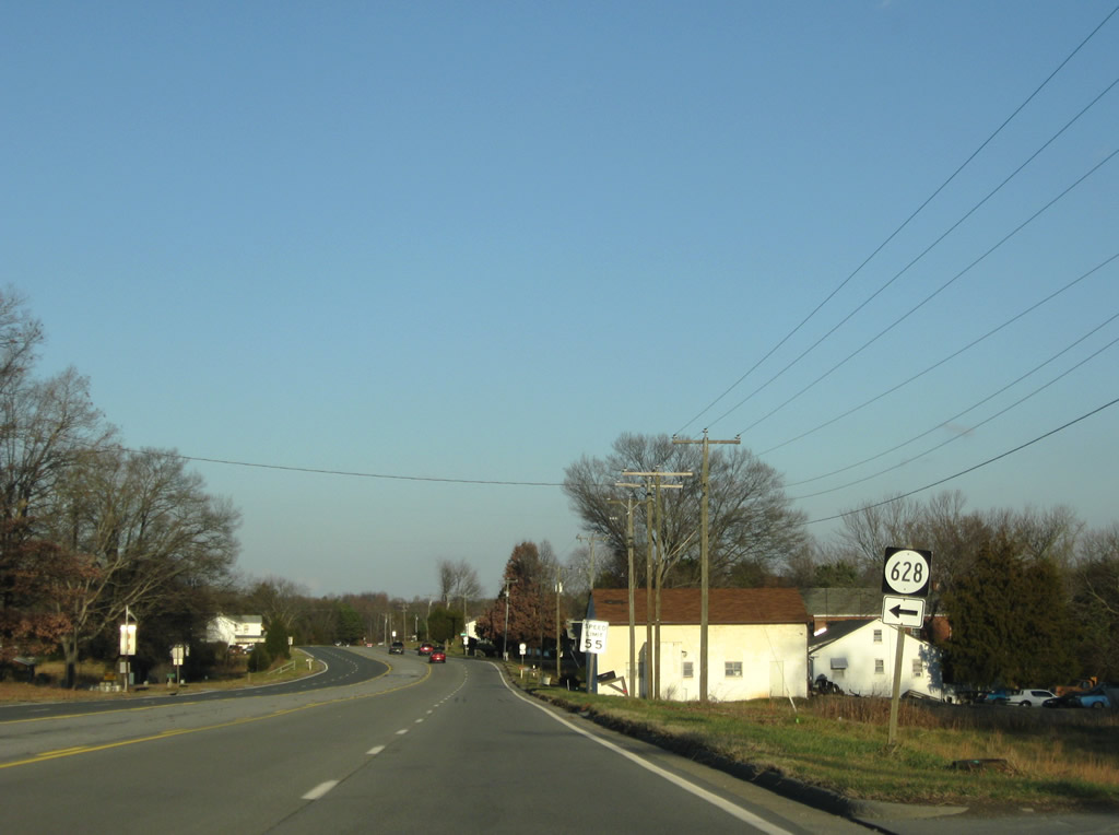
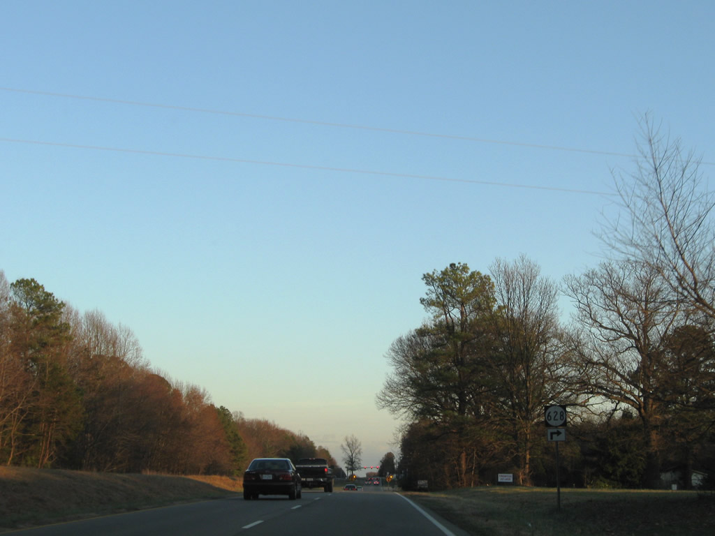
| SR 628 (Forest View Road) stems north from U.S. 60/SR 45 (Anderson Highway) to SR 629 (Oak Hill Road) near Bear Creek Lake in Cumberland State Forest. 12/21/08 |
|
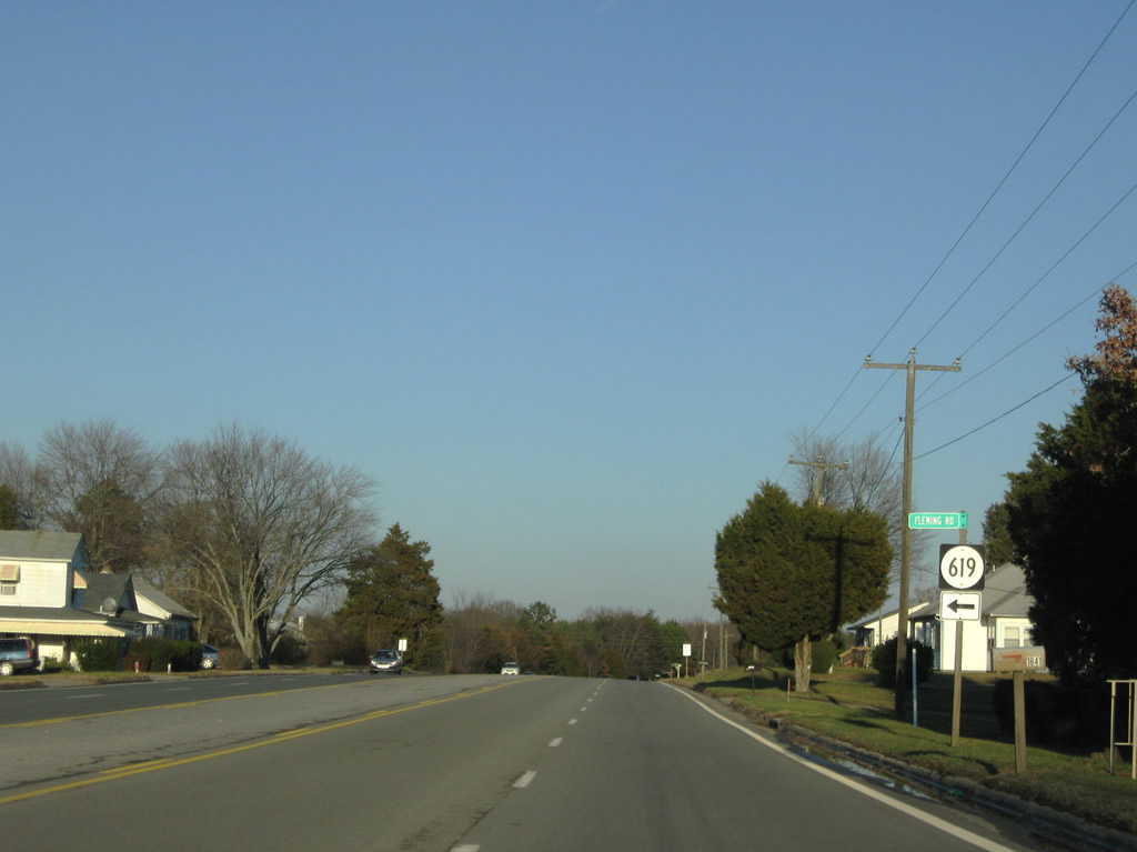
| SR 619 is Fleming Road, a short residential loop on the north side of U.S. 60/SR 45 at Hillcrest. 12/21/08 |
|
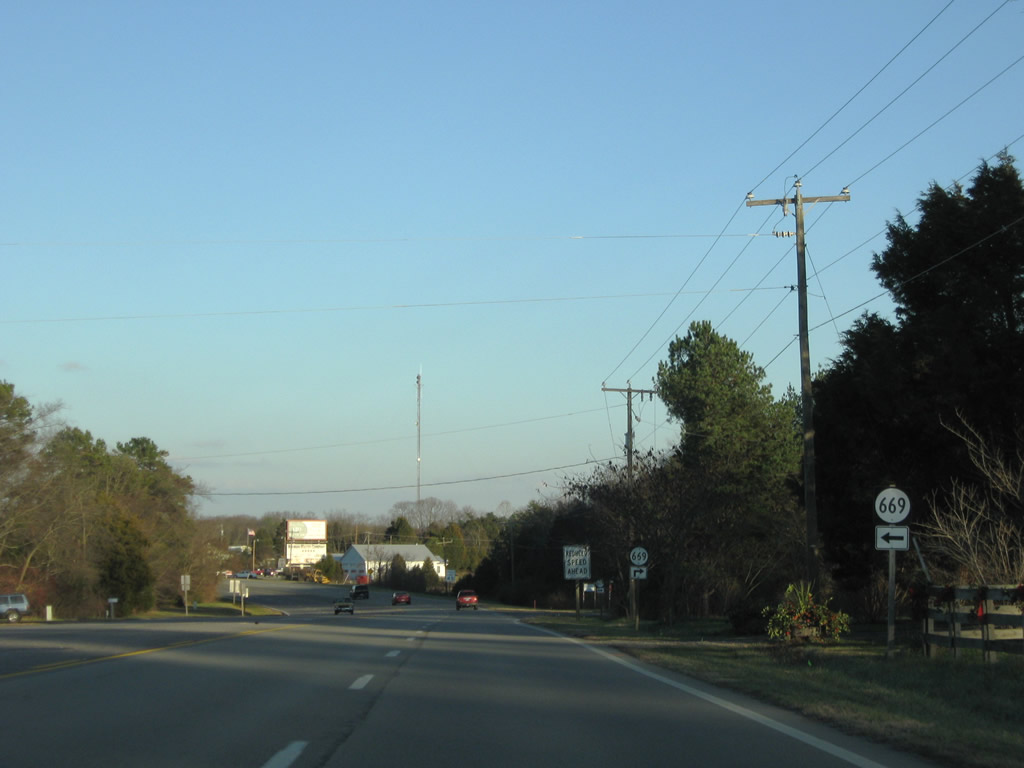
| SR 669 spurs north along Criss Road and lines Tarwallet Road southwest to Collins Lake and SR 45 (Cumberland Road) near McRae. 12/21/08 |
|
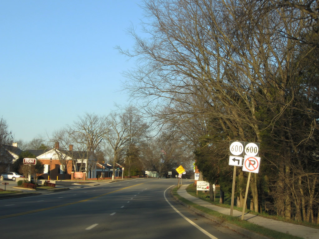
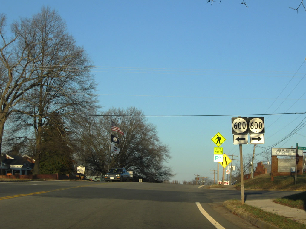
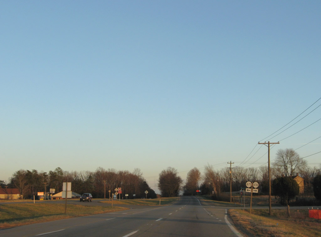
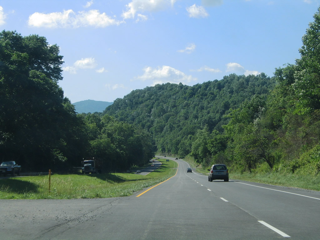
| Advancing east into Cumberland, U.S. 60/SR 45 (Anderson Highway) narrow to two lanes beyond SR 600 (Foster Road / Stony Point Road) 12/21/08 |
|
| Foster Road north is a residential street. SR 600 (Stoney Point Road) heads south from Cumberland to Stony Point Mills. 12/21/08 |
|
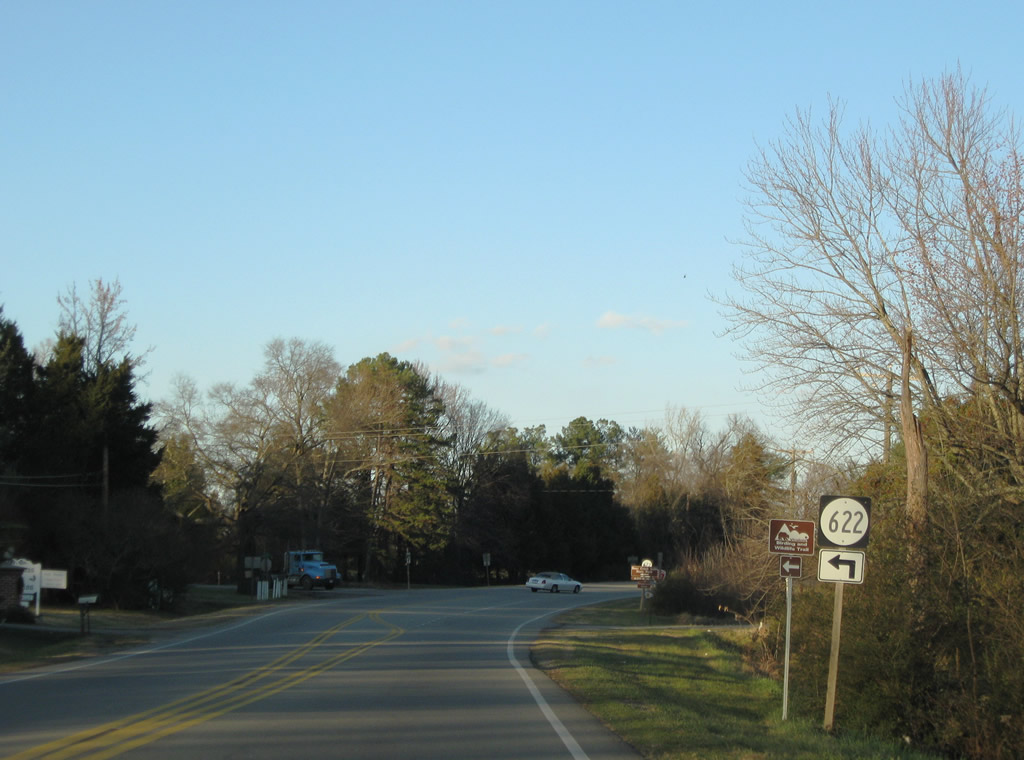
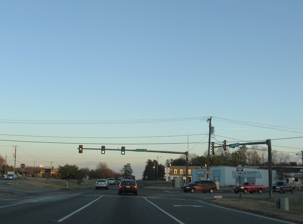
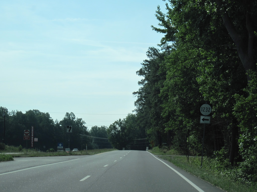
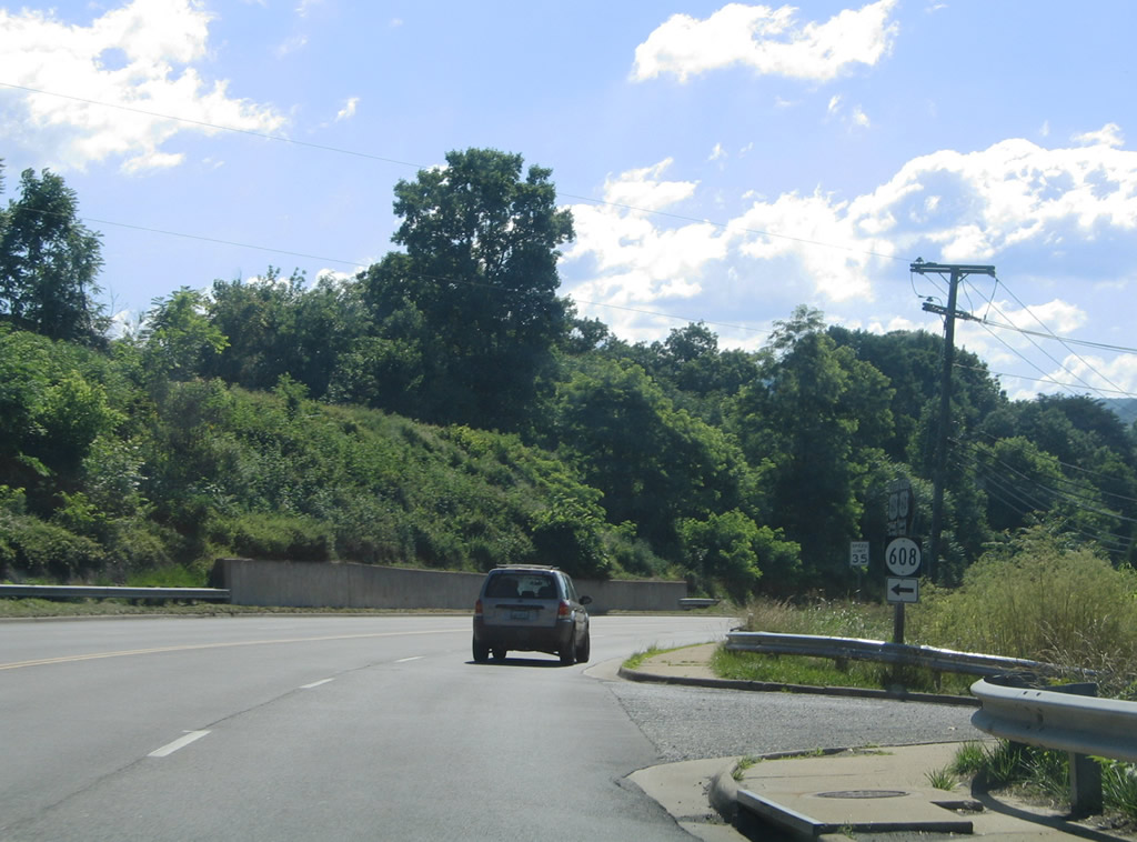
| SR 622 (Trents Mill Road) ventures 13.32 miles north from U.S. 60/SR 45 (Anderson Highway) to Trents Mill, Hatcher, Nuckols and U.S. 15 near Gold Hill. 12/21/08 |
|
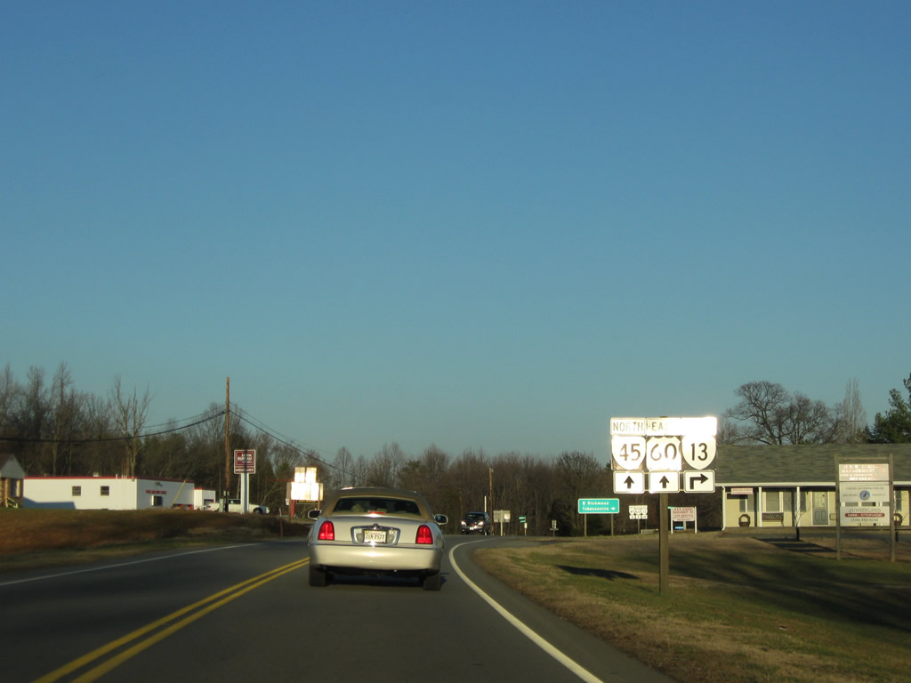
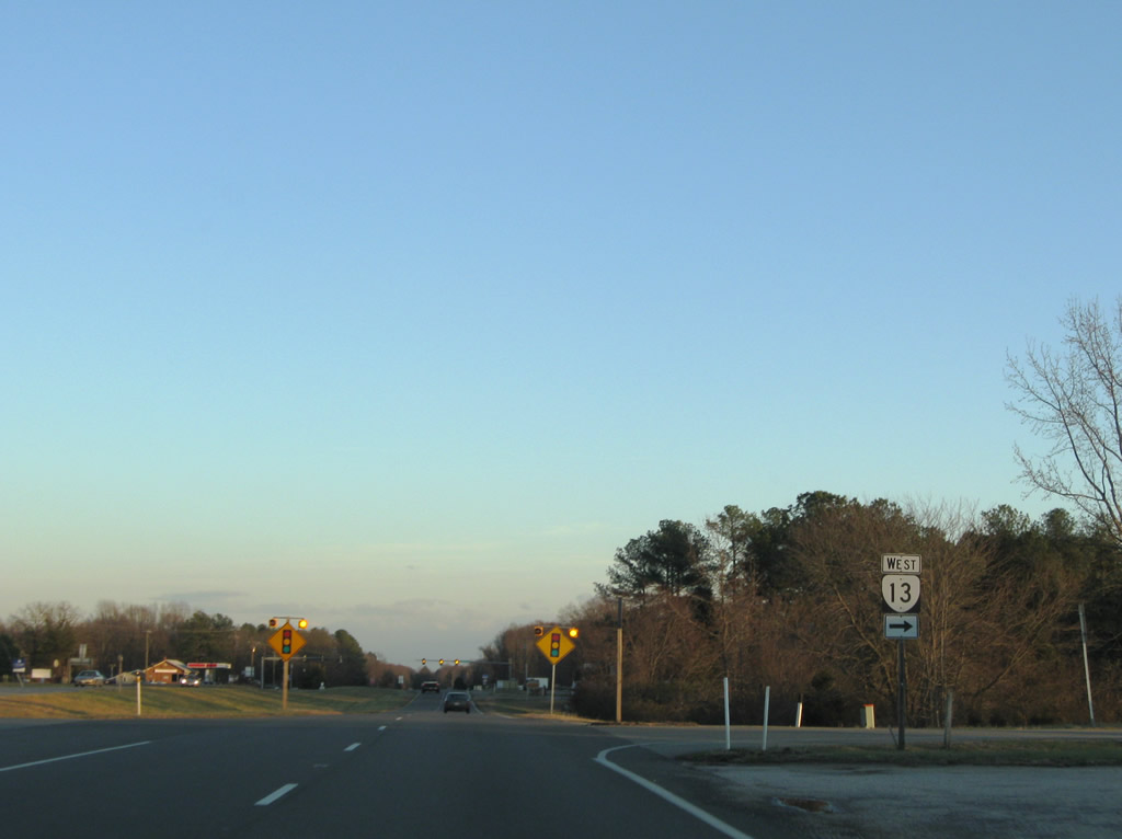
| SR 13 (Old Buckingham Road) branches south from U.S. 60/SR 45 (Anderson Highway) beyond Cumberland 7.19 miles to the Powhatan County line east of Sunny Side. 12/21/08 |
|
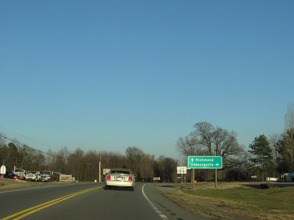
| SR 13 (Old Buckingham Road) travels 8.93 miles southeast to SR 681 at Tobaccoville. SR 681 (Clementown Road) stems south from there 14.53 miles to Morven and U.S. 360 at Amelia Court House. 12/21/08 |
|
| Representing the original alignment of U.S. 60 east to Powhatan,1 SR 13 runs 24.08 miles to Plain View. 12/21/08 |
|
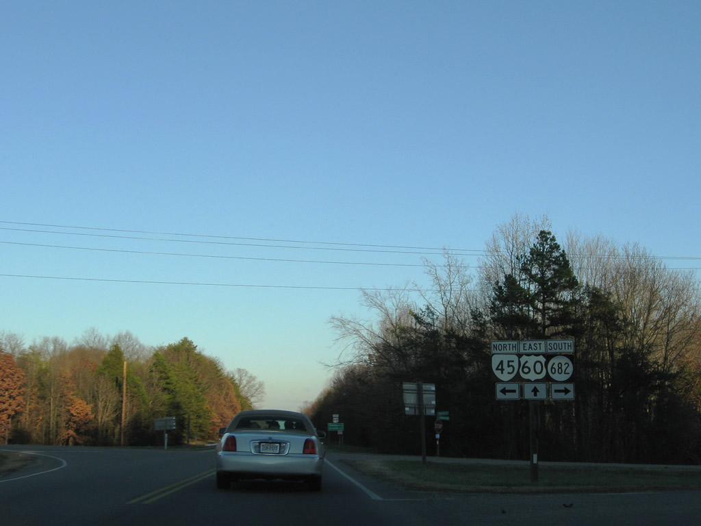
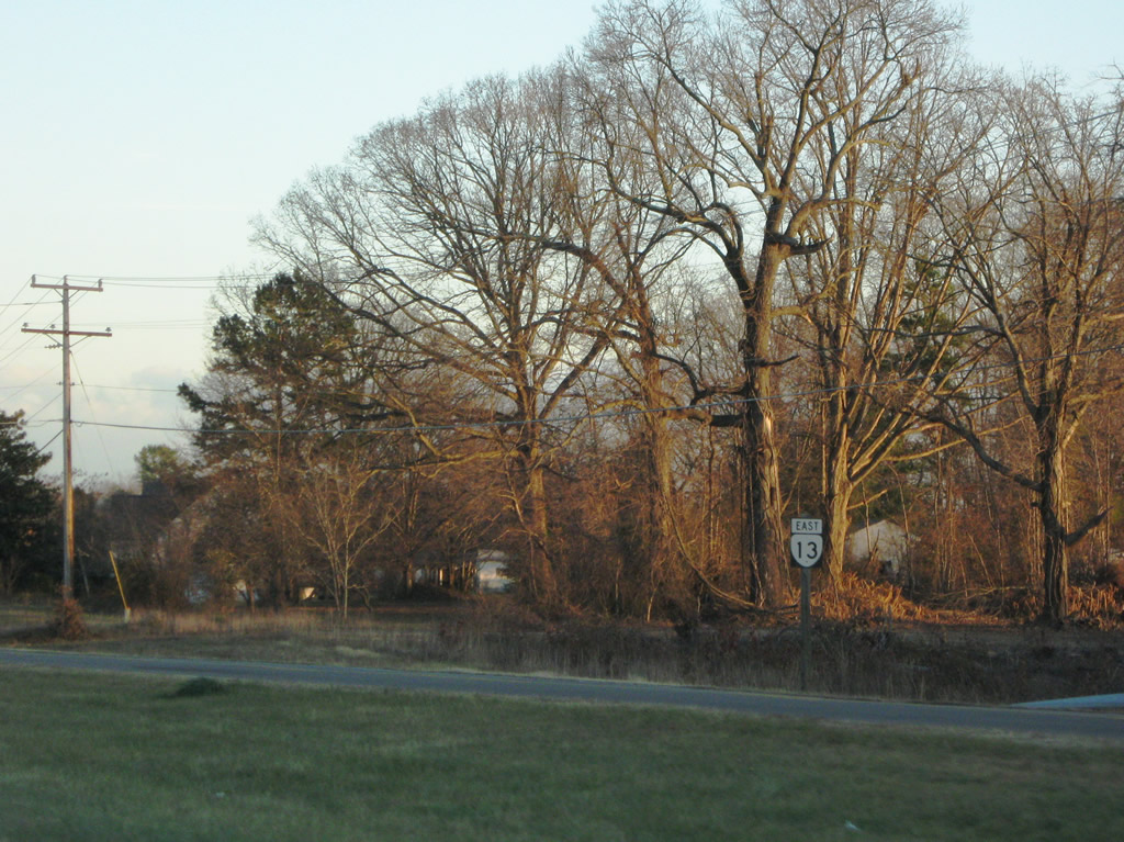
| SR 45 (Cartersville Road) branches northeast from U.S. 60 (Anderson Highway) 19.44 miles to Cartersville and SR 6 at Georges Tavern. SR 682 (Old Buckingham Road) ties in from SR 13, 0.50 miles to the south. 12/21/08 |
|
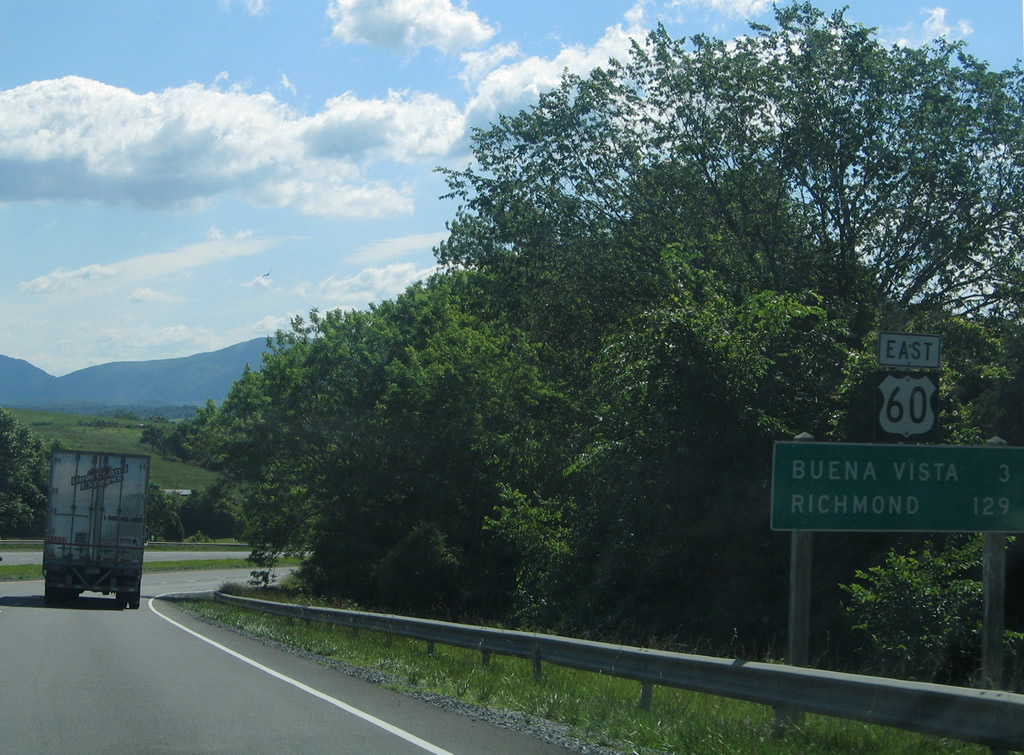
| U.S. 60 (Anderson Highway) continues 17 miles to the Powhatan County seat and 46 miles to the capital city of Richmond in 46 miles. 12/21/08 |
|
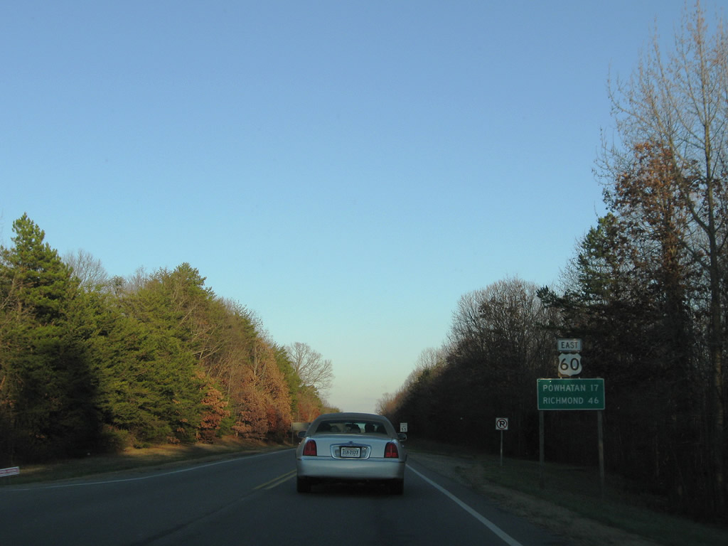
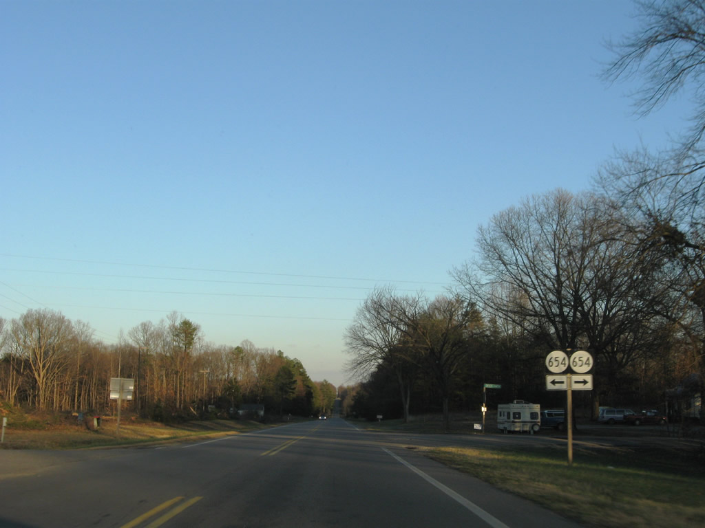
| U.S. 60 meets SR 654 at Clinton. SR 654 follows Pinegrove Road north to SR 616 (Deep Run Road) and south along Frenchs Store Road to SR 13 near Sunny Side. 12/21/08 |
|
| U.S. 60 travels 21.56 miles across Powhatan County. 12/21/08 |
|
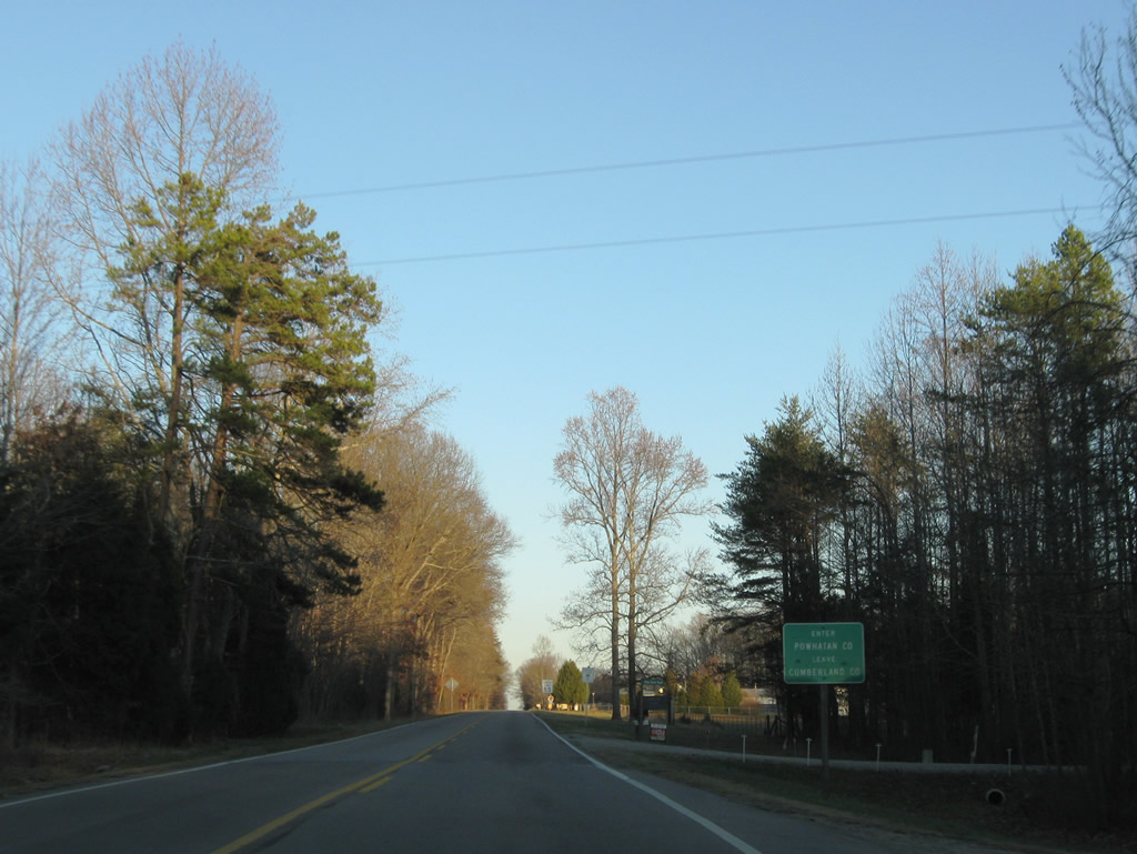
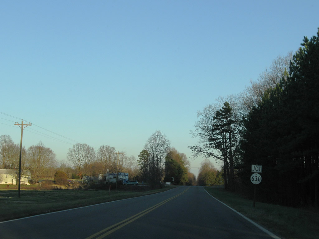
| SR 630 (Ballsville Road) crosses paths with U.S. 60 (Anderson Highway) north of Ballsville and southwest of Trenholm. 12/21/08 |
|
| Confirming marker posted east of SR 630 (Ballsville Road). 12/21/08 |
|
| Advancing east from SR 629 (Trenholm Road north / Old Tavern Road south), U.S. 60 traverses agricultural areas to Deep Creek. 12/21/08 |
|
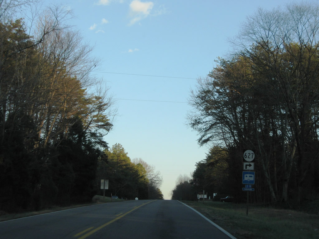
| SR 627 (Ridge Road) runs 3.2 miles south from U.S. 60 (Anderson Highway) at Smiths Crossroads to SR 13 (Old Buckingham Road) at Belona. 12/21/08 |
|
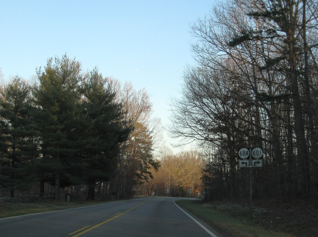
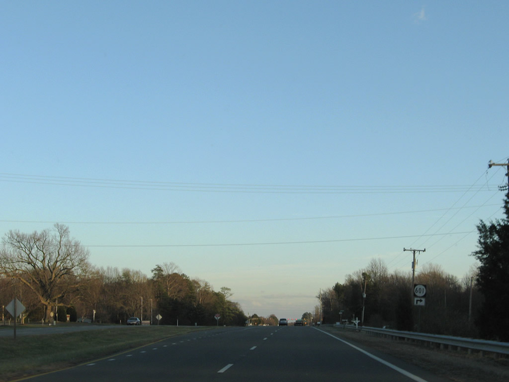
| SR 601 (Locklin Road) parallels U.S. 60 (Anderson Highway) east from SR 684 (Bell Road) for 1.6 miles. 12/21/08 |
|
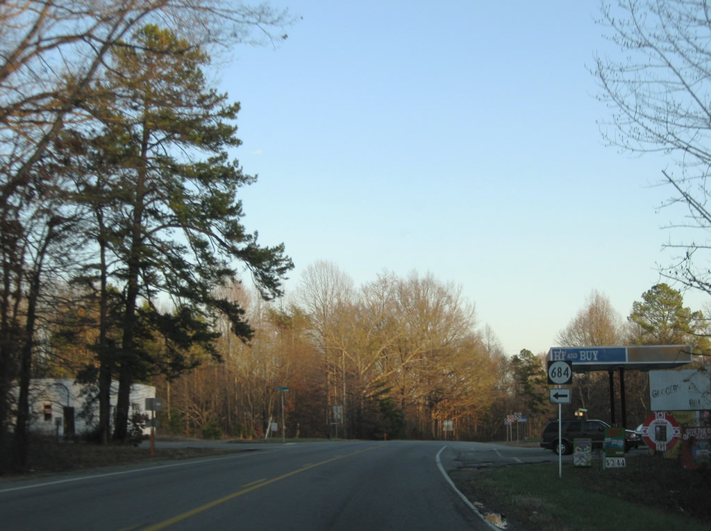
| SR 684 follows Bell Road northwest 2.98 miles to SR 621 (Cosby Road) at Provost and Cartersvillle Road west 8.26 miles to SR 45 in Cumberland County. 12/21/08 |
|
| U.S. 60 (Anderson Highway) expands to four lanes ahead of SR 601 (Locklin Road) west and U.S. 522. 12/21/08 |
|
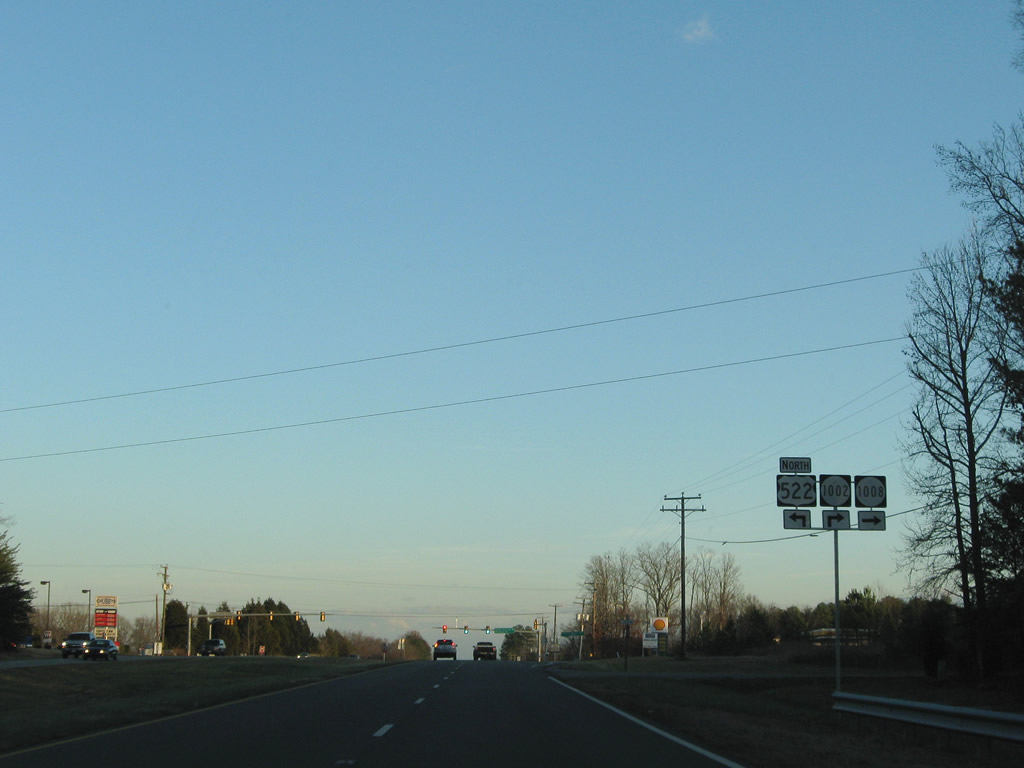
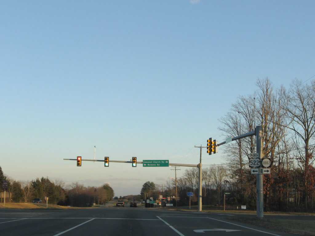
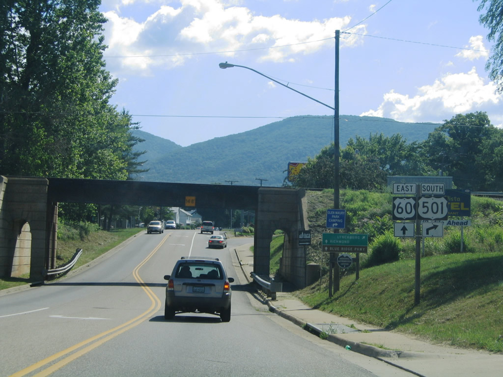
| U.S. 522 (Maidens Road) begins from U.S. 60 (Anderson Highway) at the intersection with SR 1002 (Emmanual Church Road) 0.33 miles north from SR 13 (Old Buckingham Road). 12/21/08 |
|
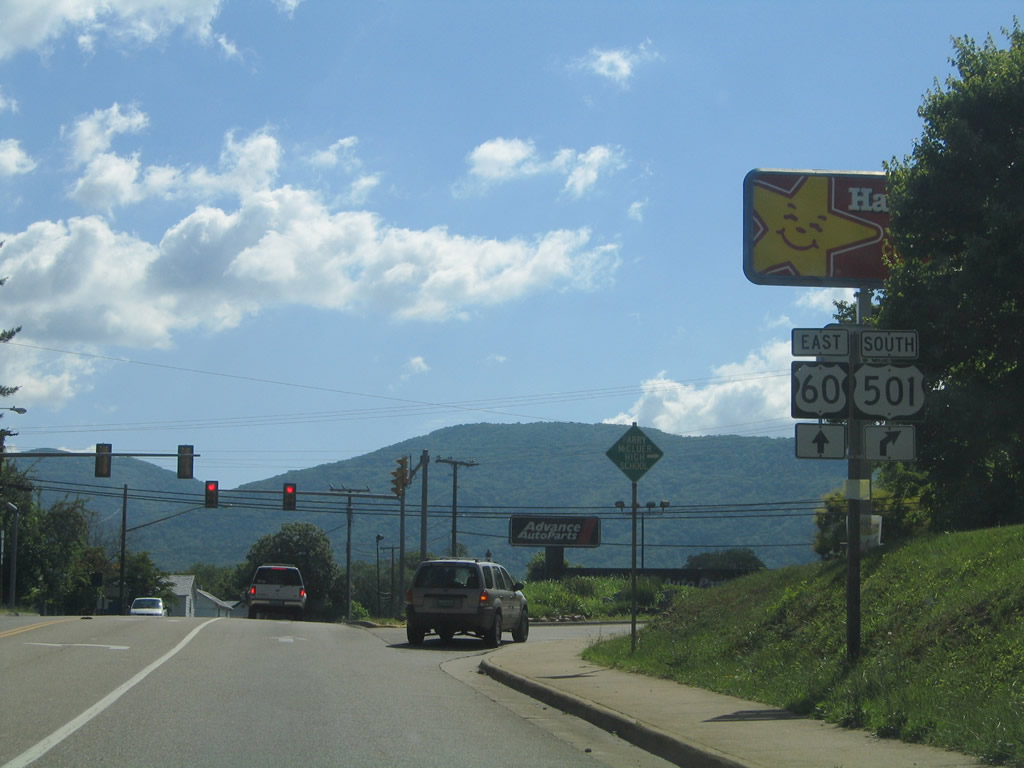
| U.S. 522 heads 9.20 miles north from U.S. 60 to SR 6 (River Road W) at Maidens, where the two combine 1.75 miles north through Goochland. U.S. 522 travels 308 miles overall between Powhatan and Selinsgrove, Pennsylvania. 12/21/08 |
|
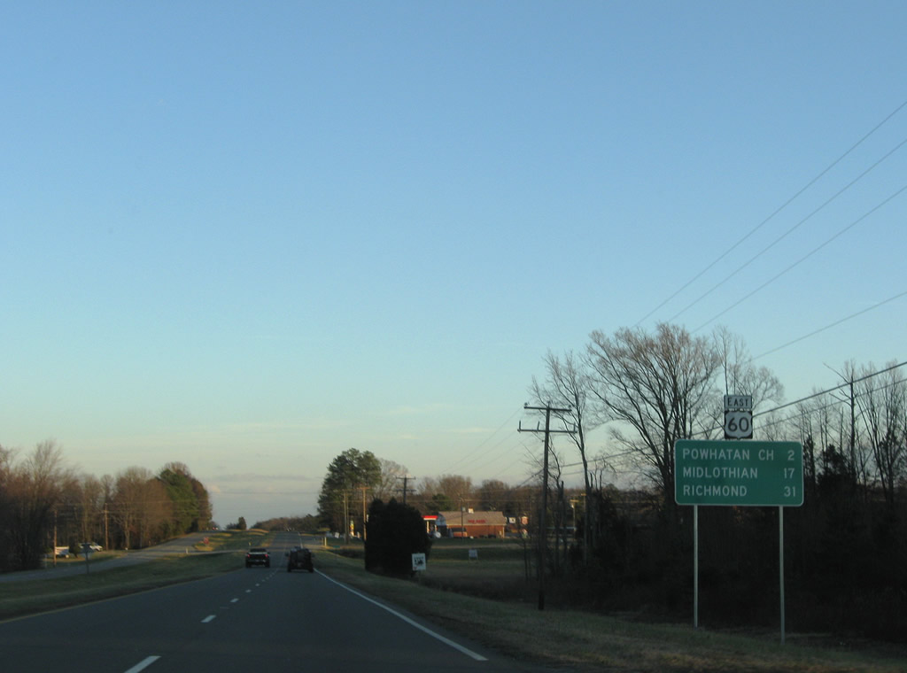
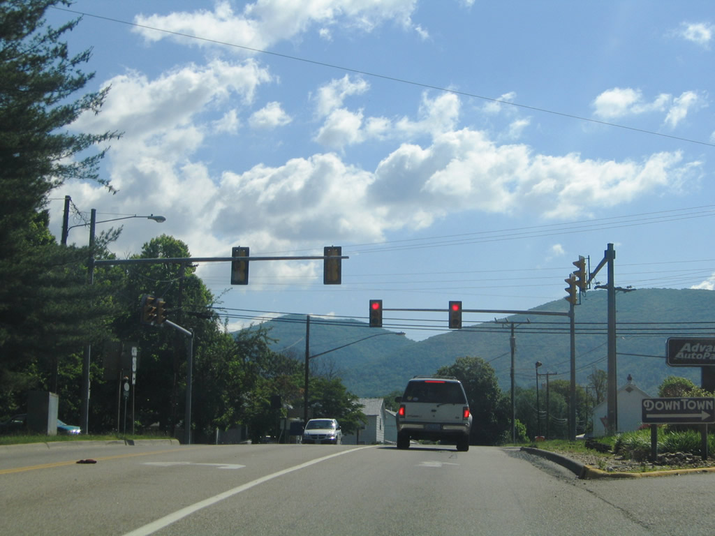
| U.S. 60 (Anderson Highway) parallels SR 13 (Old Buckingham Road) east toward Powhatan Court House. Midlothian and the Richmond area suburbs are 17 miles away. 12/21/08 |
|
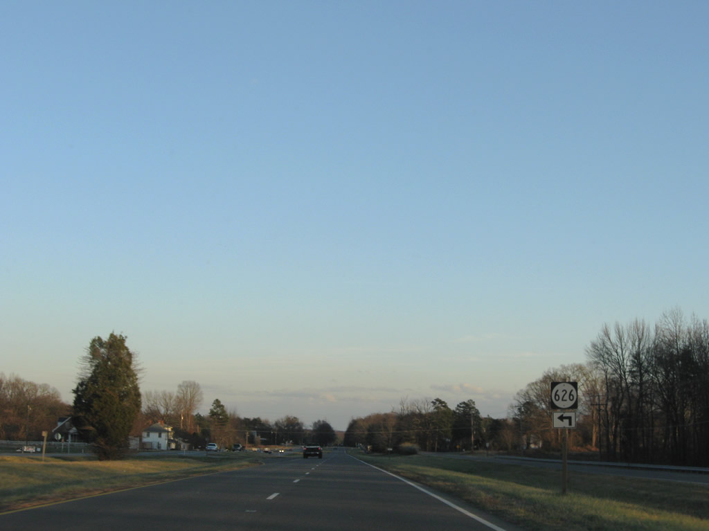
| SR 626 (Brauer Road) spurs north from U.S. 60 (Anderson Highway) to a few residences and farms. 12/21/08 |
|
| SR 13 (Old Buckingham Road) runs directly alongside U.S. 60 east by SR 626 en route to the Powhatan County seat. 12/21/08 |
|
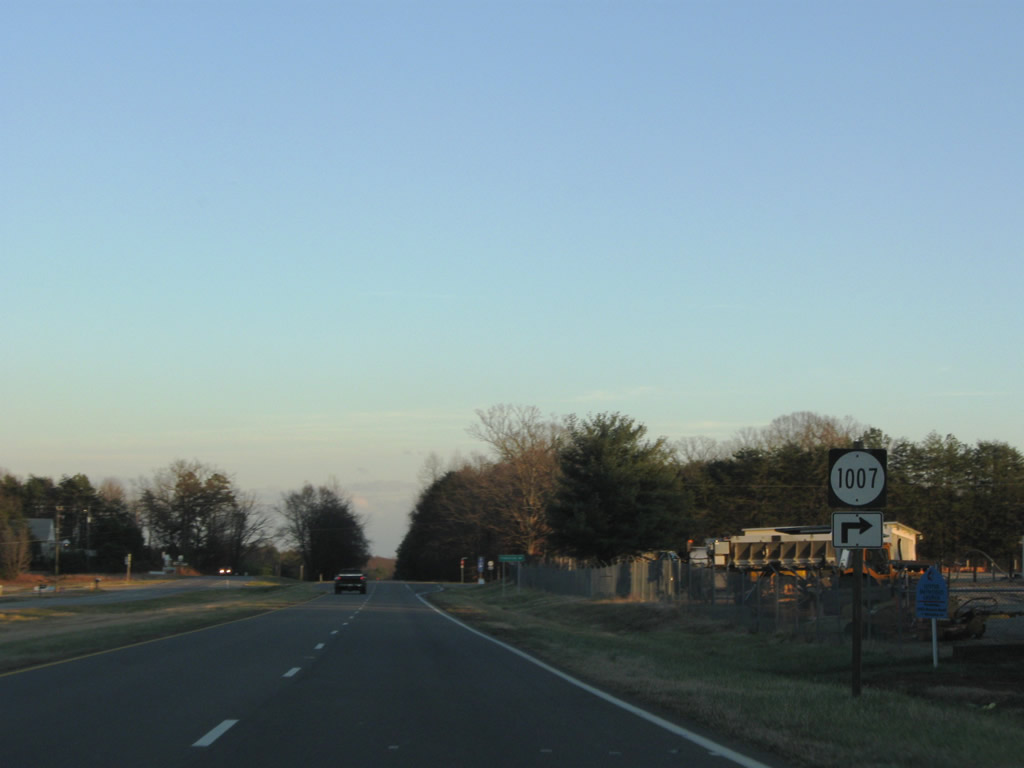
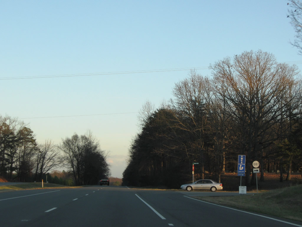
| SR 1007 (Mann Road) links U.S. 60 and SR 13 (Old Buckingham Road). 12/21/08 |
|
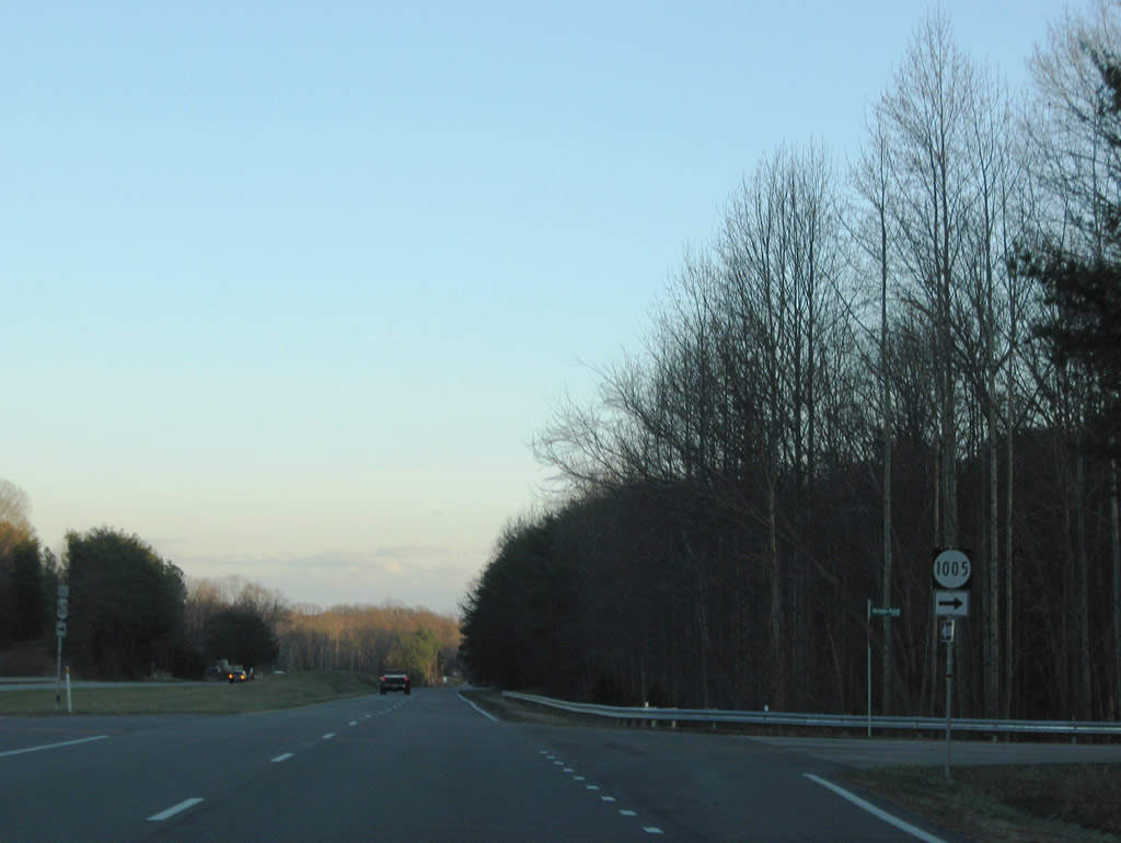
| Skaggs Road (SR 1005) also connects SR 13 (Old Buckingham Road) and U.S. 60 (Anderson Highway) at Powhatan. 12/21/08 |
|
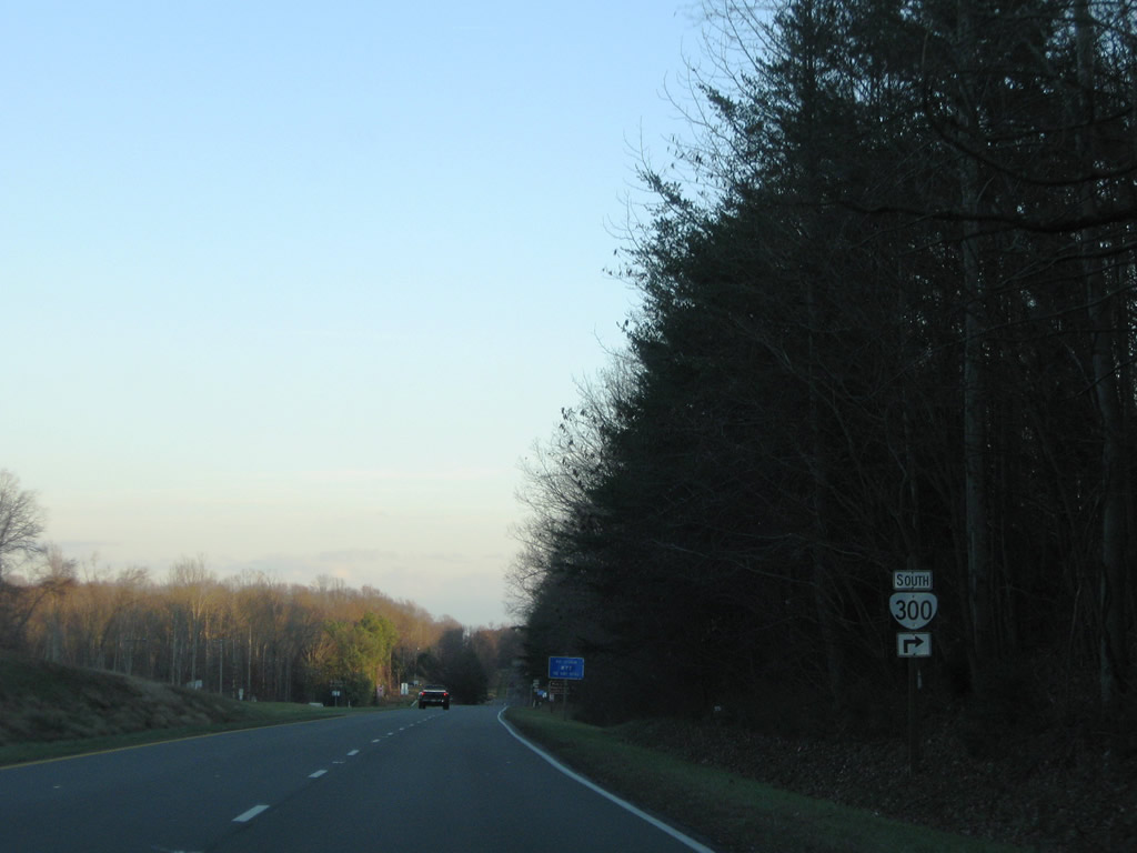
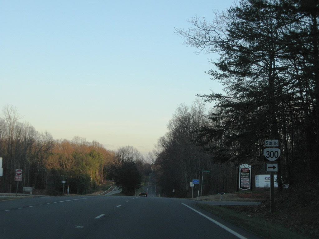
| SR 300 (Scottsville Road) constitutes a 0.64 mile route southwest from U.S. 60 to SR 13 at the Powhatan County Courthouse. 12/21/08 |
|
| SR 300 follows Scottsville Road to Courthouse Tavern Lane and Marion Harland Lane (SR 300Y). Branchway Creek Road spurs north from U.S. 60 (Anderson Highway) at SR 300 to the Branchway Springs development. 12/21/08 |
|
| U.S. 60 crosses Branch Creek by John L. Lewis Lake east of SR 300. 12/21/08 |
|
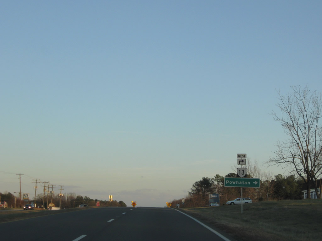
| SR 13 (Old Buckingham Road) concludes east at U.S. 60 (Anderson Highway) and Plain View. 12/21/08 |
|
| SR 13 (Old Buckingham Road) loops south from U.S. 60 back into Powhatan. The 24.08 mile long route originated from U.S. 60/SR 45 in Cumberland County. 12/21/08 |
|
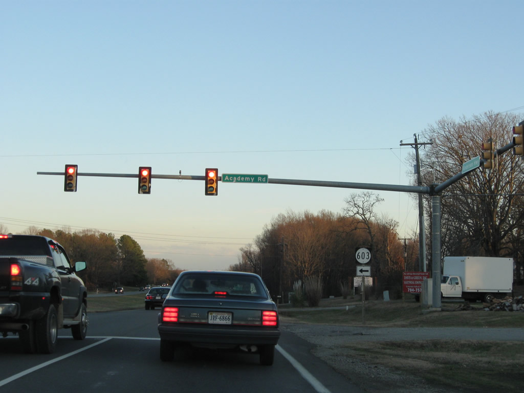
| The northern leg of SR 603 on Academy Road comprises a major collector leading north 3.00 miles from U.S. 60 to SR 615 (Three Bridge Road). 12/21/08 |
|
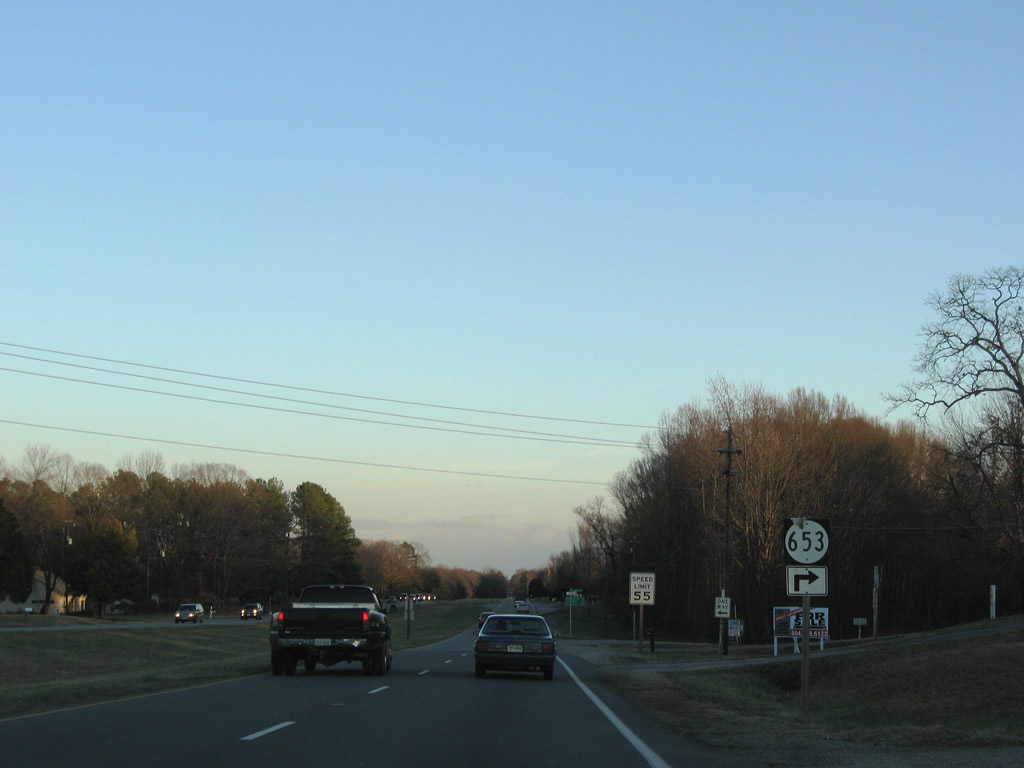
| U.S. 60 replaced Buckingham Road (SR 653) as the main route east from Plain View. 12/21/08 |
|
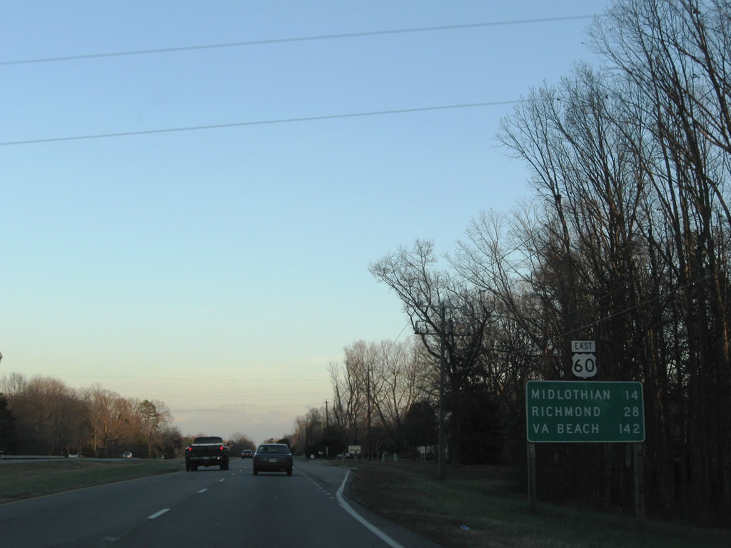
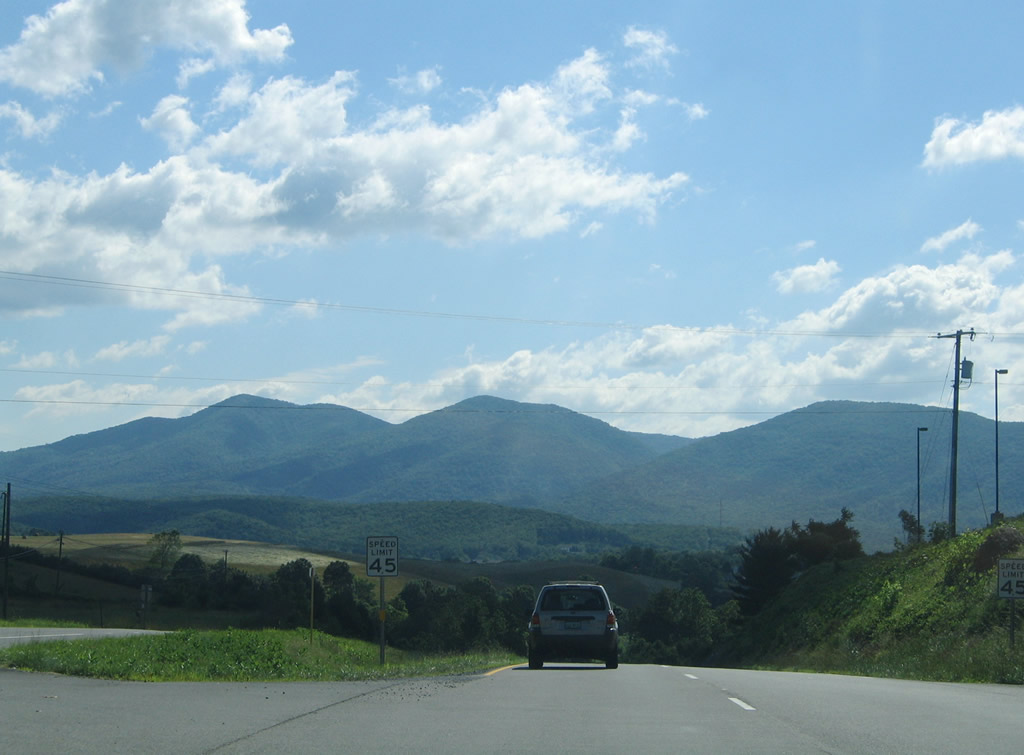
| U.S. 60 proceeds 14 miles east from Plain View to the suburban community of Midlothian. 142 miles away, the east end of U.S. 60 at Virginia Beach is referenced for the first time. 12/21/08 |
|
| SR 628 along Lower Hill Road is a 0.3 mile long loop south of U.S. 60 linking with SR 611 (Capeway Road). 12/21/08 |
|
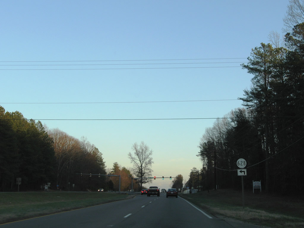
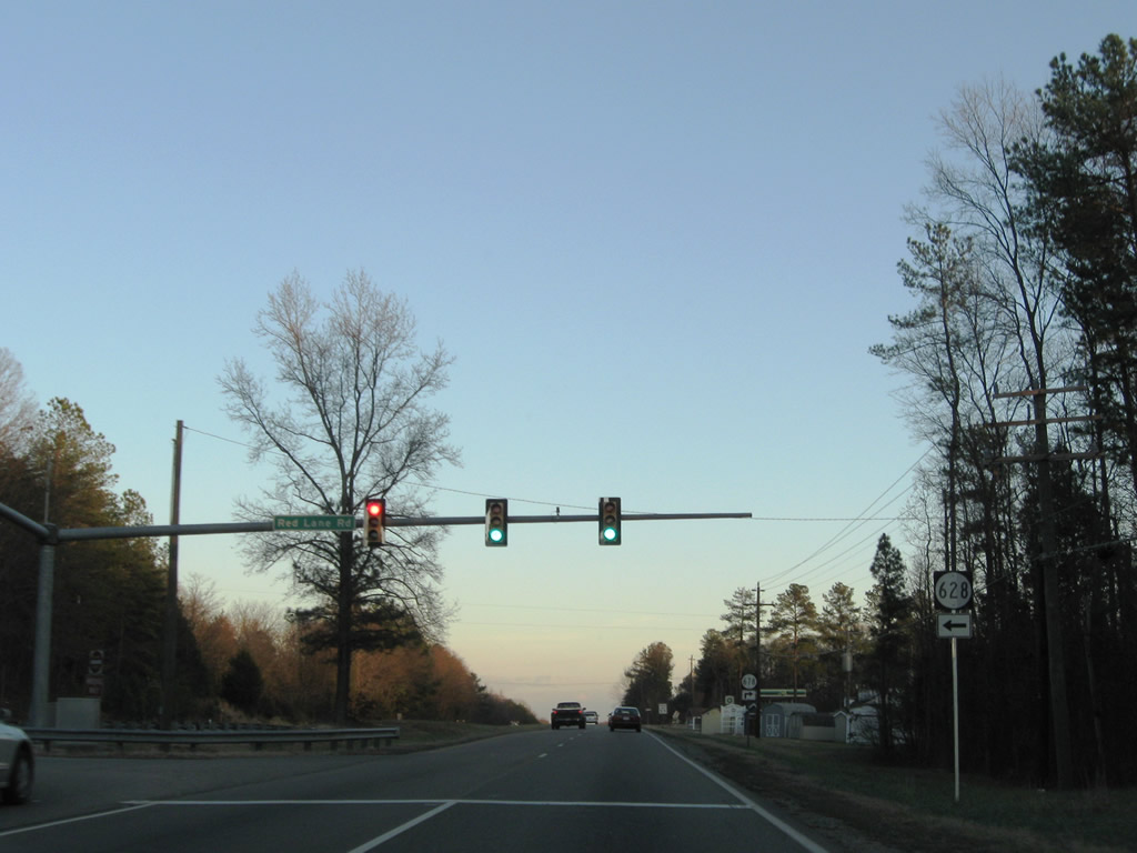
| The northern branch of SR 628 lines Red Lane Road 4.35 miles from U.S. 60 to Red Lane and SR 615 (Three Bridge Road). 12/21/08 |
|
| SR 678 branches south from U.S. 60 along Rocky Oak Road) from near SR 628 (Red Lane Road) to Flat Rock. 12/21/08 |
|
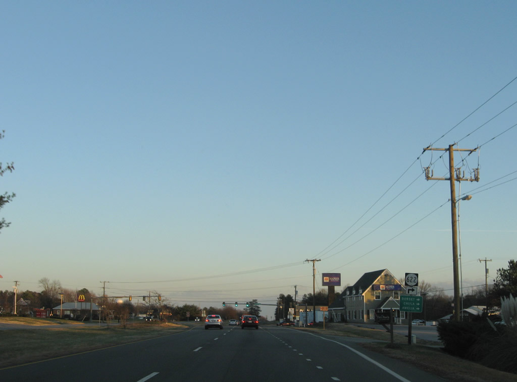
| U.S. 60 (Anderson Highway) meets SR 622 (Dorset Road) south to Dorset and Clayville at Flat Rock. 12/21/08 |
|
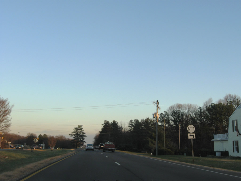
| SR 677 (Batterson Road) parallels the north side of U.S. 60 (Anderson Highway) along a 1.55 mile long loop to Powhatan High School. 12/21/08 |
|
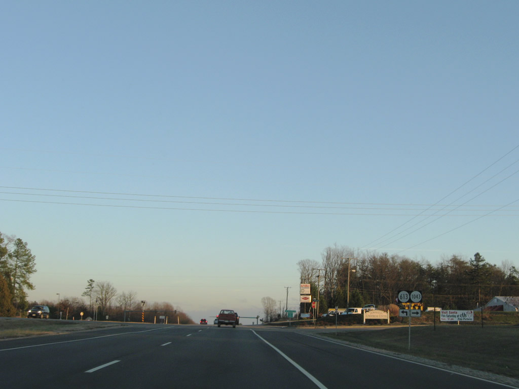
| New Dorset Road (SR 1043) arcs 0.7 miles west from U.S. 60 to an industrial park and SR 622 (Dorset Road). 12/21/08 |
|
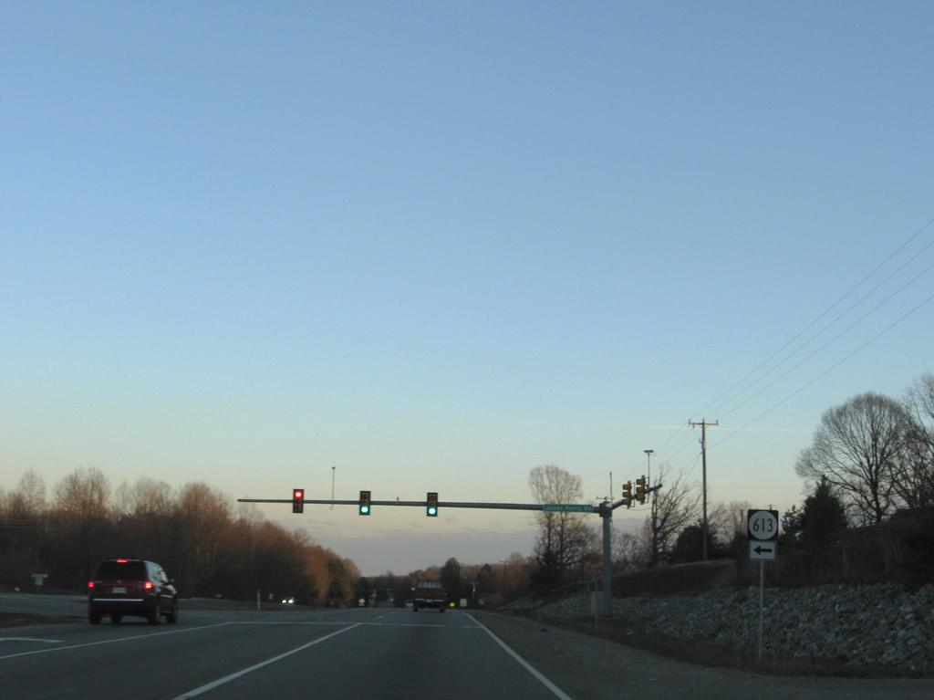
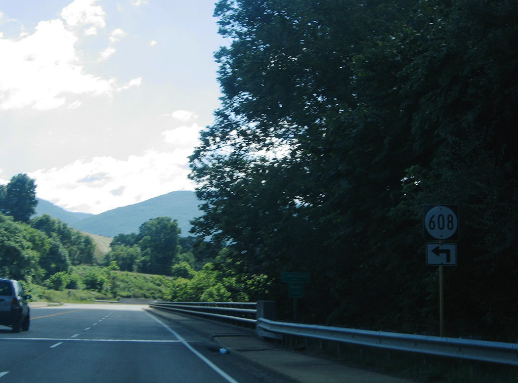
| SR 613 (Judes Ferry Road) stems 3.33 miles north from U.S. 60 to Powhatan High School and SR 614 (Mill Road). 12/21/08 |
|
| SR 676 (Urbine Road) east and SR 675 (Page Road) west formerly came together at U.S. 60 east of SR 634 (Luck Store Road). Urbine Road was subsequently replaced with commercial development. 12/21/08 |
|
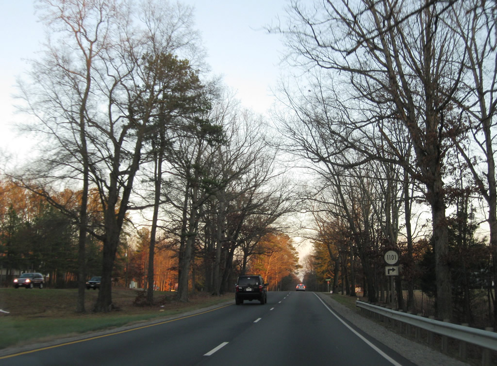
| SR 1101 (Holly Hills Road) represents the first of two residential roads leading south from U.S. 60 into the community of Holly Hills. 12/21/08 |
|
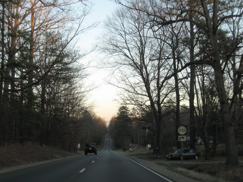
| Dogwood Road (SR 1102) is the second entrance into Holly Hills from U.S. 60 (Anderson Highway). 12/21/08 |
|
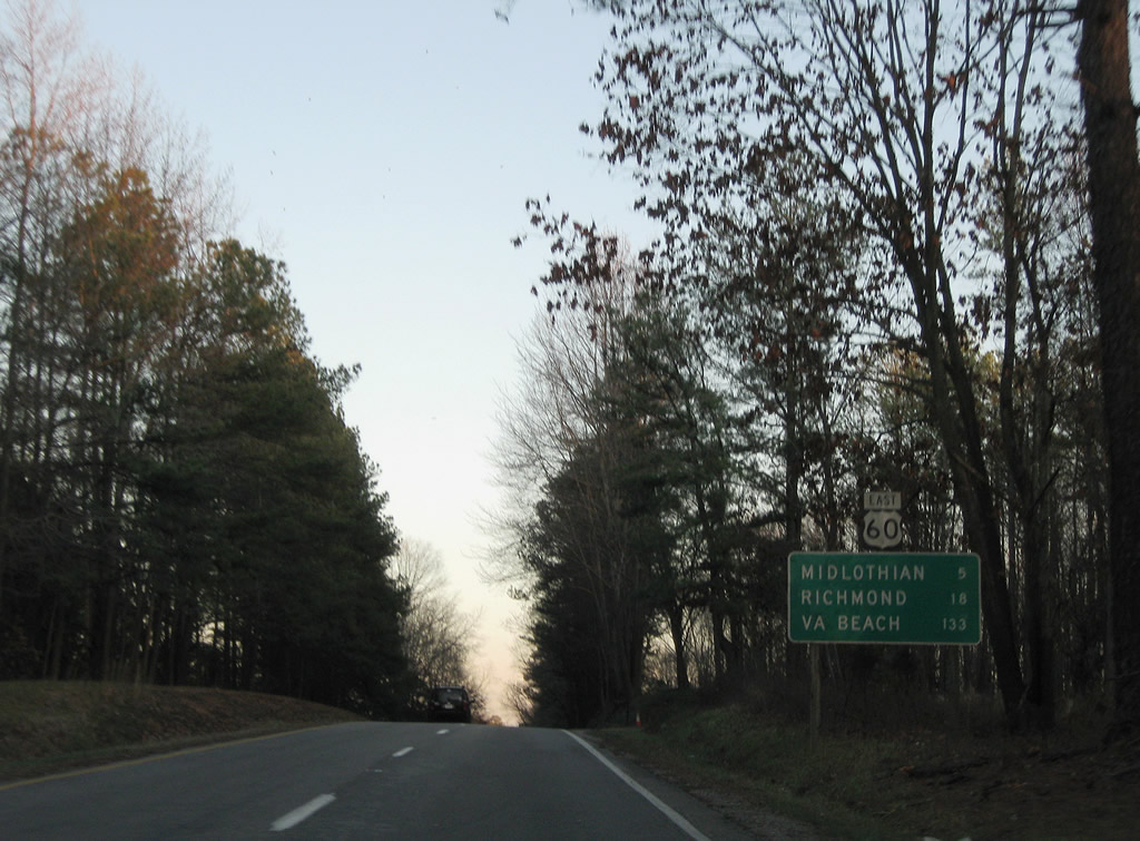
| Midlothian lies five miles east of Holly Hills along U.S. 60. 12/21/08 |
|
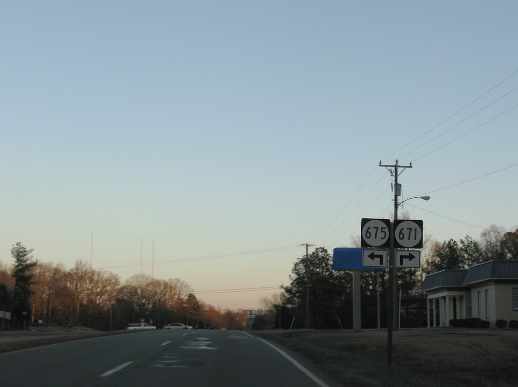
| SR 675 (Page Road) returns to U.S. 60 across from SR 671 (County Line Road) south to Hallsboro. 12/21/08 |
|
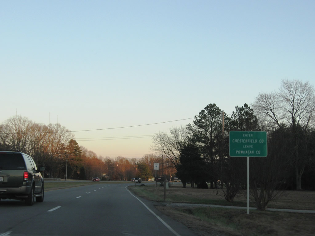
| Eastbound U.S. 60 (Midlothian Turnpike) enters Chesterfield County. 12/21/08 |
|
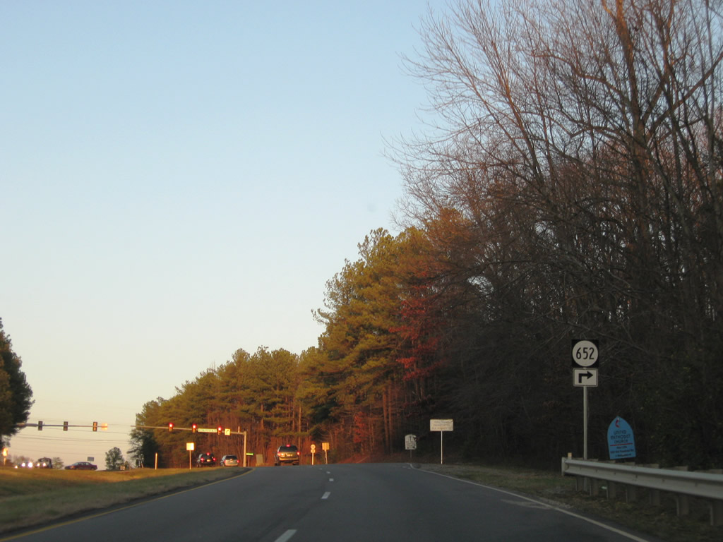
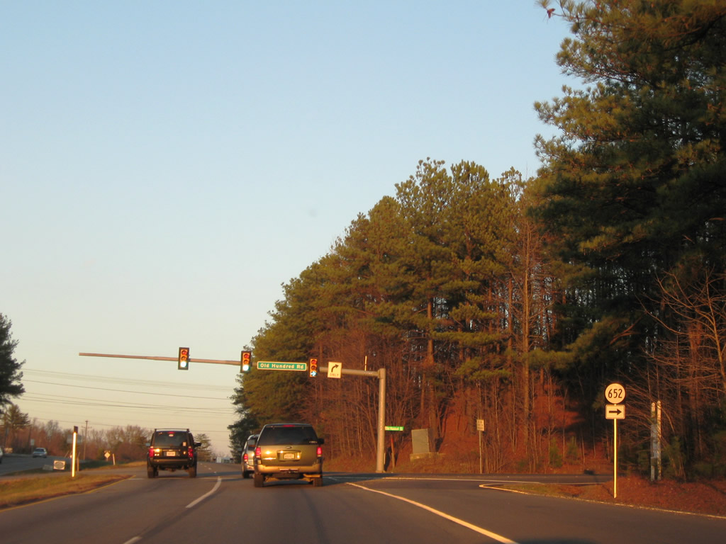
| U.S. 60 (Midlothian Turnpike) navigates through an S-curve from the Powhatan County line east to SR 652 (Old Hundred Road) south. 12/21/08 |
|
| SR 652 (Old Hundred Road) arcs 4.87 miles southeast from U.S. 60 (Midlothian Turnpike) to the eastbound beginning of SR 76 (Powhite Parkway). 12/21/08 |
|
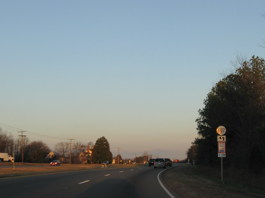
| SR 607 (Hugenot Springs Road) parallels SR 288 to the west along a 4.00 mile course north from U.S. 60 to SR 711 (Hugenot Trail). 12/21/08 |
|
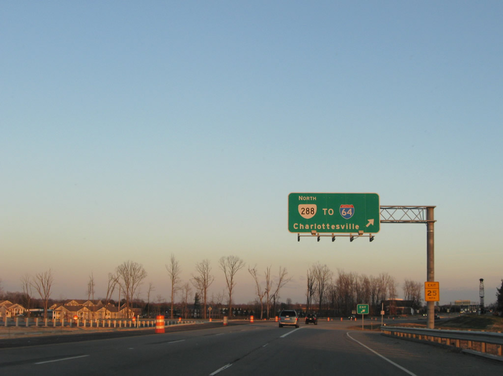
| U.S. 60 (Midlothian Turnpike) transitions into a commercial arterial at Westchester Commons ahead of the cloverleaf interchange with SR 288 (World War II Veterans Memorial Highway). 12/21/08 |
|
| SR 288 constitutes a 32.56 mile long commuter bypass of Richmond north from U.S. 60 (Midlothian Turnpike) to I-64 near Short Pump and southeast to I-95 near Chester. 12/21/08 |
|
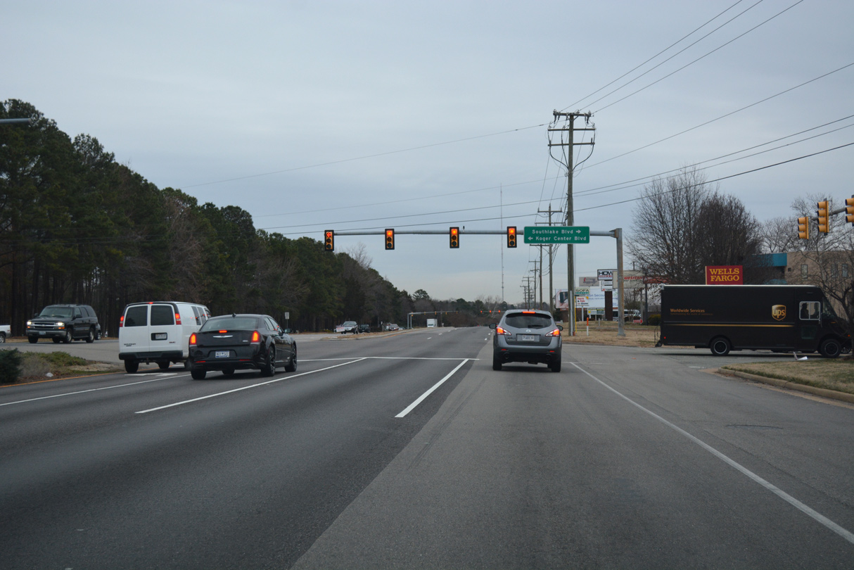
| U.S. 60 (Midlothian Turnpike) advances east through a heavily developed retail corridor to Koger Center Boulevard north and Southlake Boulevard south. 12/16/16 |
|
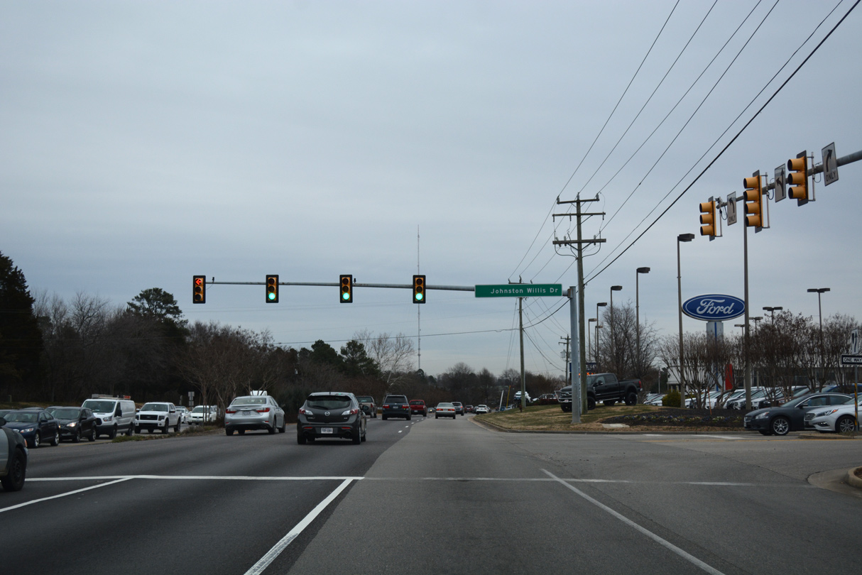
| The succeeding traffic light on U.S. 60 (Midlothian Turnpoike) east is with Johnston Willis Drive to Johnston-Willis Hospital and Huguenot Park. 12/16/16 |
|
| Sturbridge Drive intersects U.S. 60 between Pocono Green Shopping Center and Pocono Crossing Shopping Center south of Robious Road (SR 675). 12/16/16 |
|
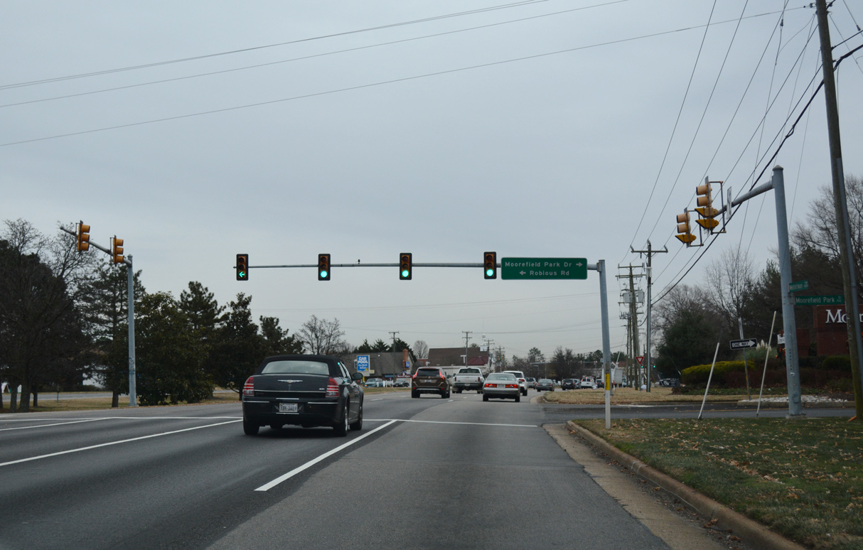
| Robious Road (CR 675) concludes east at U.S. 60 across from Moorfield Park Drive at Tinsley in Bon Air. 12/16/16 |
|
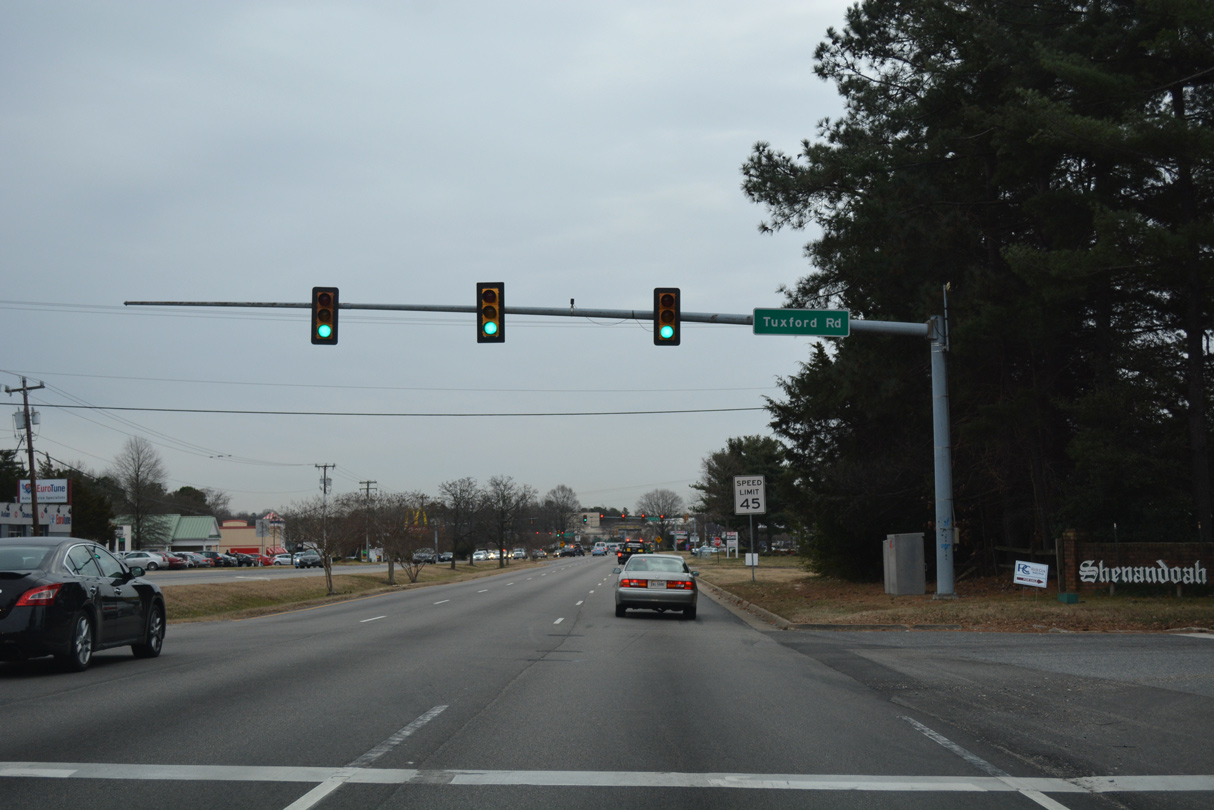
| Tuxford Road connects U.S. 60 (Midlothian Turnpike) with the Shenandoah neighborhood. 12/16/16 |
|
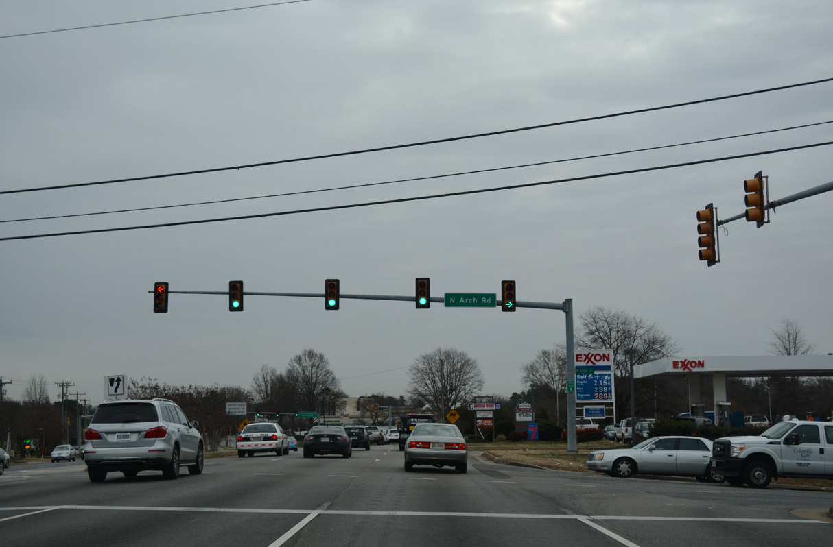
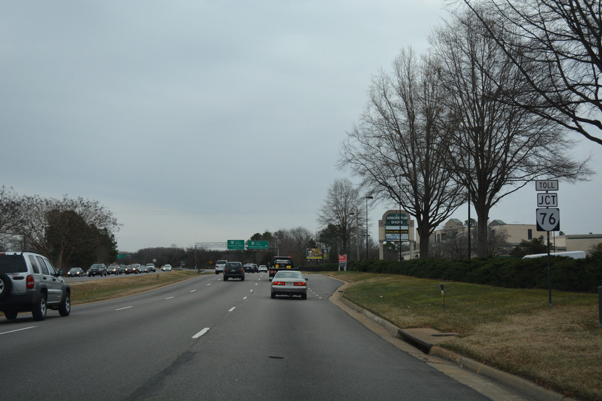
| Serving The Arboretum and several subdivisions, SR 672 lines N/S Arch Road between U.S. 60 and SR 647 (Reams Road), 1.04 miles to the south. 12/16/16 |
|
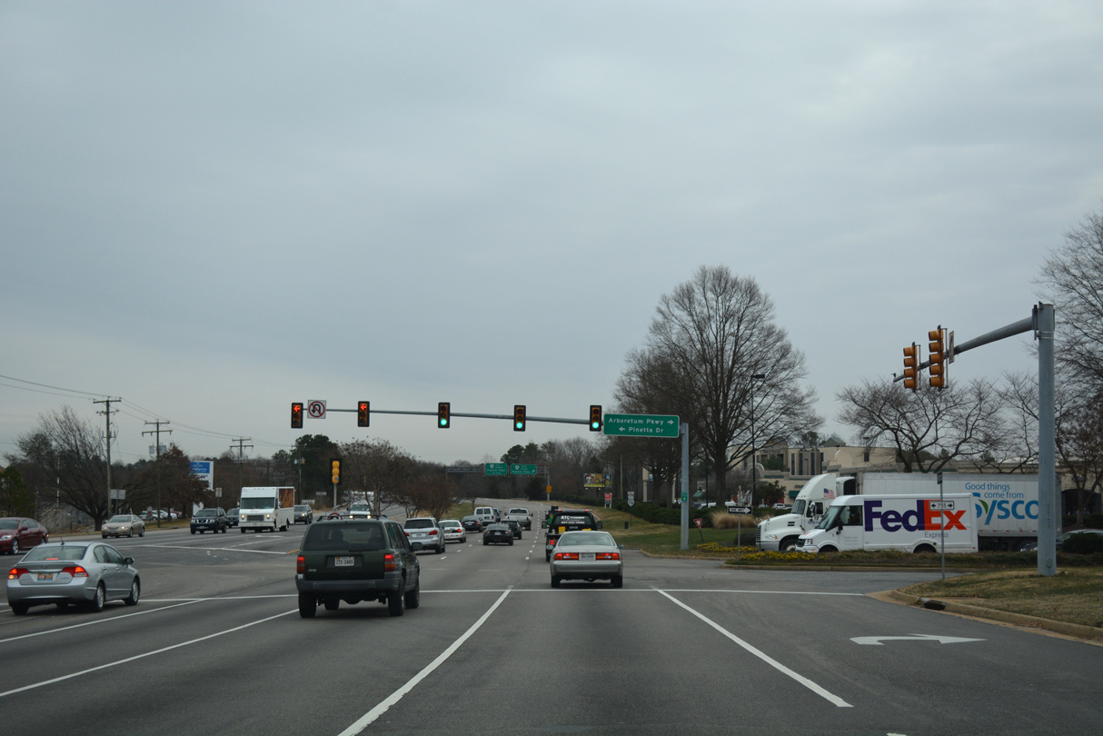
| Pinetta Drive (SR 755) heads 0.99 miles north to the Brighton Green neighborhood and Buford Road (SR 678) in Bon Air. 12/16/16 |
|
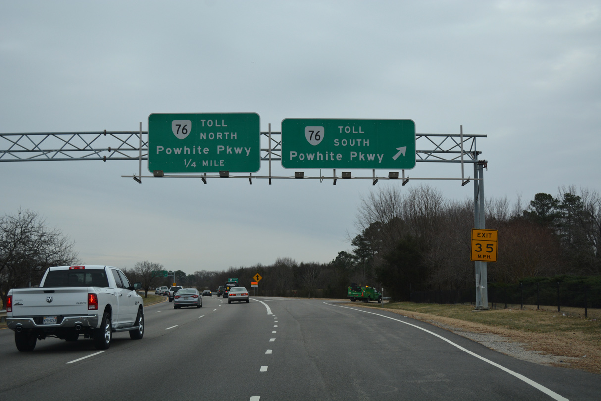
| U.S. 60 proceeds east from Pinetta Drive into a cloverleaf interchange with SR 76 (Powhite Parkway). 12/16/16 |
|
| Powhite Parkway is a 13.04 mile long toll road joining suburban Chesterfield County with I-195 (Beltline Expressway) in Richmond. 12/16/16 |

 East
East
 North
North