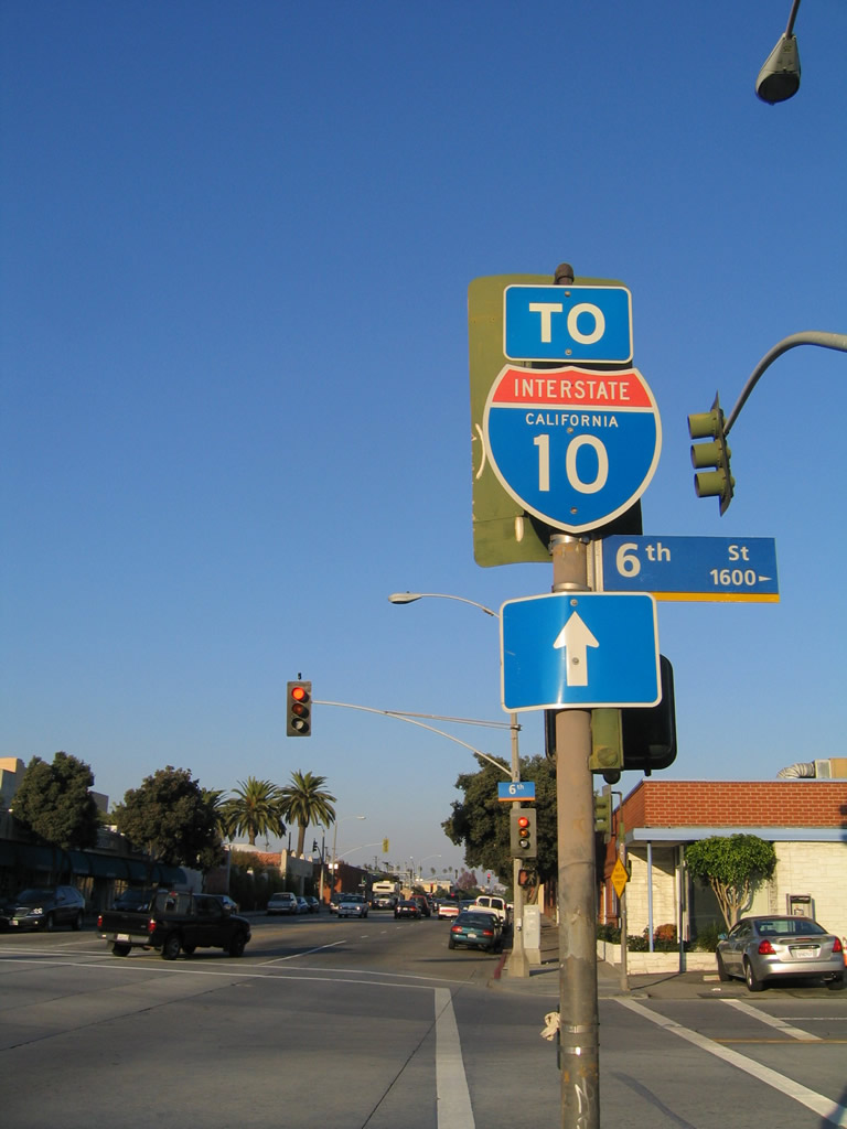
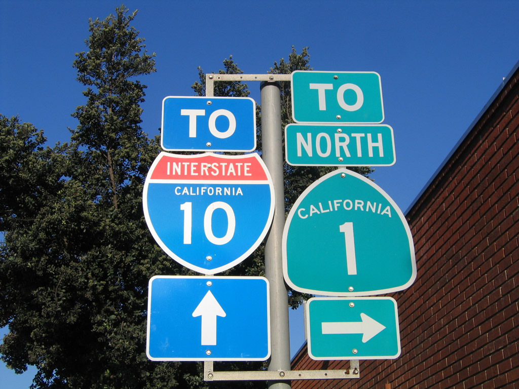
Interstate 10 and California State Route 1 trailblazers posted along Colorado Avenue between Sixth Street and Seventh Street in Santa Monica. Seventh Street leads to SR 1 north; Lincoln Boulevard (old U.S. 66) connects with I-10 east and SR 1 south. 10/30/05
Interstate 10 originates from California State Route 1 (Pacific Coast Highway), just off the shore of the Pacific Ocean at Santa Monica. Within the Golden State, I-10 is a vital east-west freeway across the Los Angeles Basin. It connects the Inland Empire with the area around Palm Springs, then continues due east toward Blythe and Phoenix, Arizona. It replaced U.S. 60-70 through California.
There are four business loops for Interstate 10 previously or currently in existence in the state of California. All four of the I-10 business routes still had remnant signage posted as of 2013:
|
| Colorado Avenue east meets U.S. 66 and SR 2 (Lincoln Boulevard) at this intersection. Lincoln Boulevard links with SR 1 south to Venice and I-10 east to Los Angeles. Neither SR 2 nor U.S. 66 are mentioned on any approach signs to Lincoln Boulevard. 10/30/05 |
|
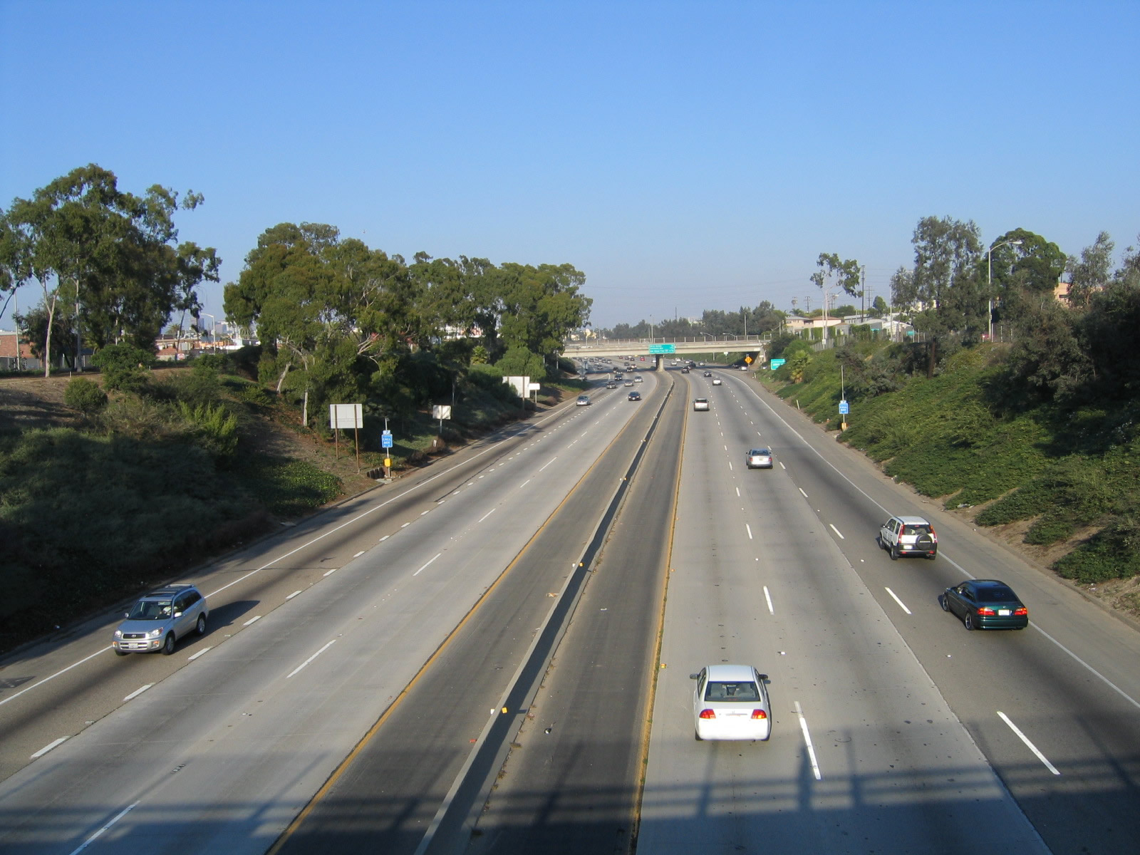
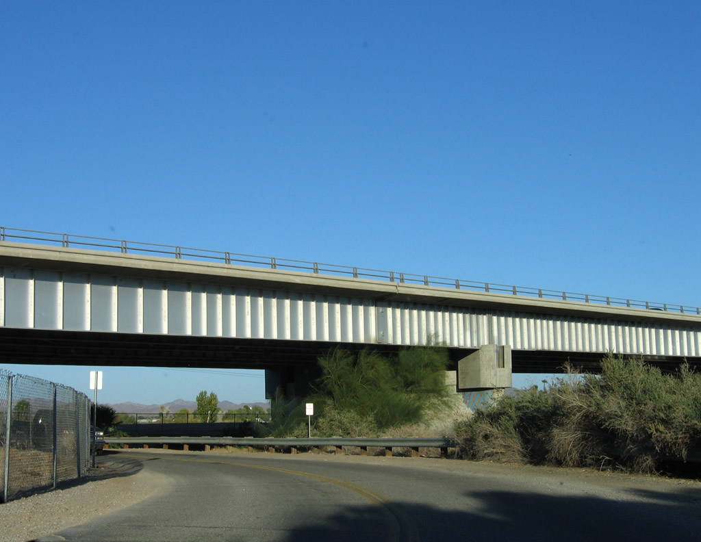
| This view looks east along Interstate 10 (Santa Monica Freeway) in the city of Santa Monica from the Lincoln Boulevard (SR 1 and SR 2) overpass. 10/30/05 |
|
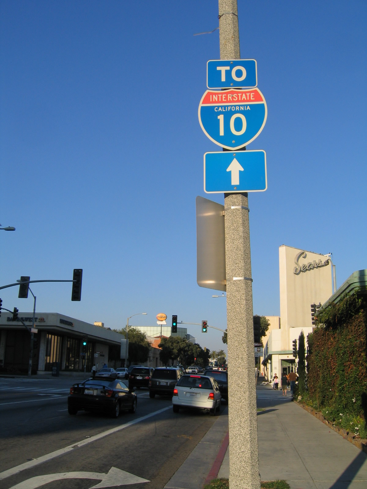
| This Interstate 10 trailblazer is posted along eastbound Colorado Avenue just prior to the intersection with Fourth Street in Santa Monica. 10/30/05 |
|
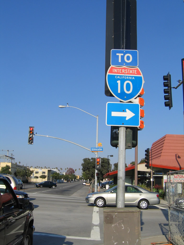
| Another Interstate 10 trailblazer appears along eastbound Colorado Avenue at the intersection with Sixth Street in Santa Monica. 10/30/05 |
|
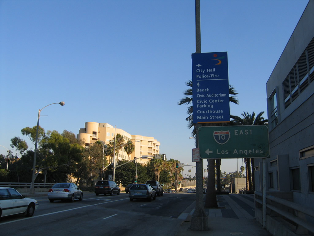
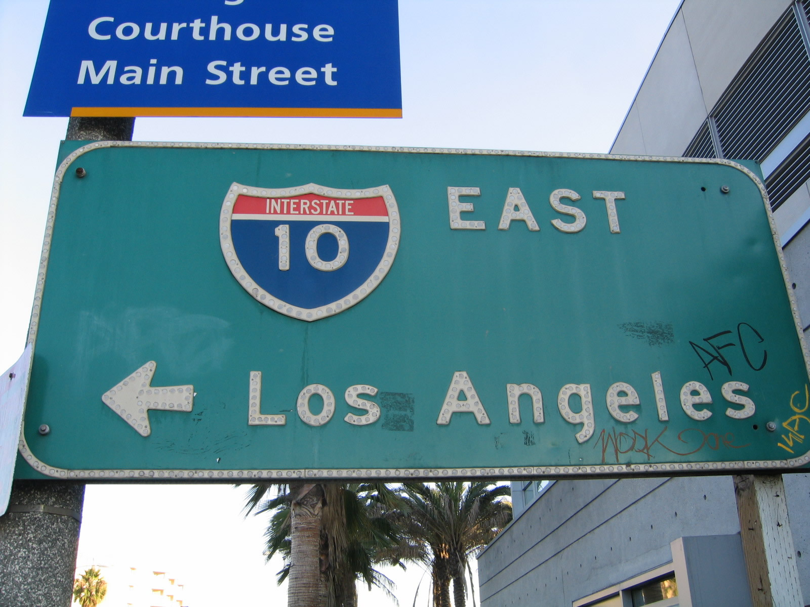
| Southbound Fourth Street approaches Olympic Drive in Santa Monica near the civic center. Olympic connects with Interstate 10 east to Los Angeles nearby. 10/30/05 |
|
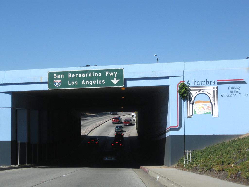
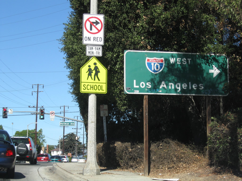
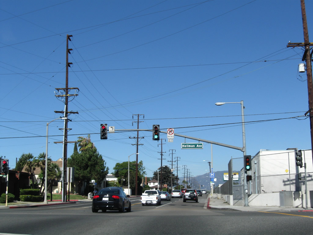
| Fremont Avenue north approaches Hellman Avenue in the city of Alhambra. Hellman Avenue east connects with Interstate 10 (San Bernardino Freeway) west nearby. 11/08/08 |
|
| Hellman Avenue leads east from Fremont Avenue in Alhambra to intersect Elm Street at the westbound on-ramp for Interstate 10. 11/08/08 |
|
| Interstate 10 shields on Via Verde in San Dimas. 05/02/02 |
|
| Northbound Fairplex Drive at Interstate 10 (San Bernardino Freeway) in Pomona. 07/15/07 |
|
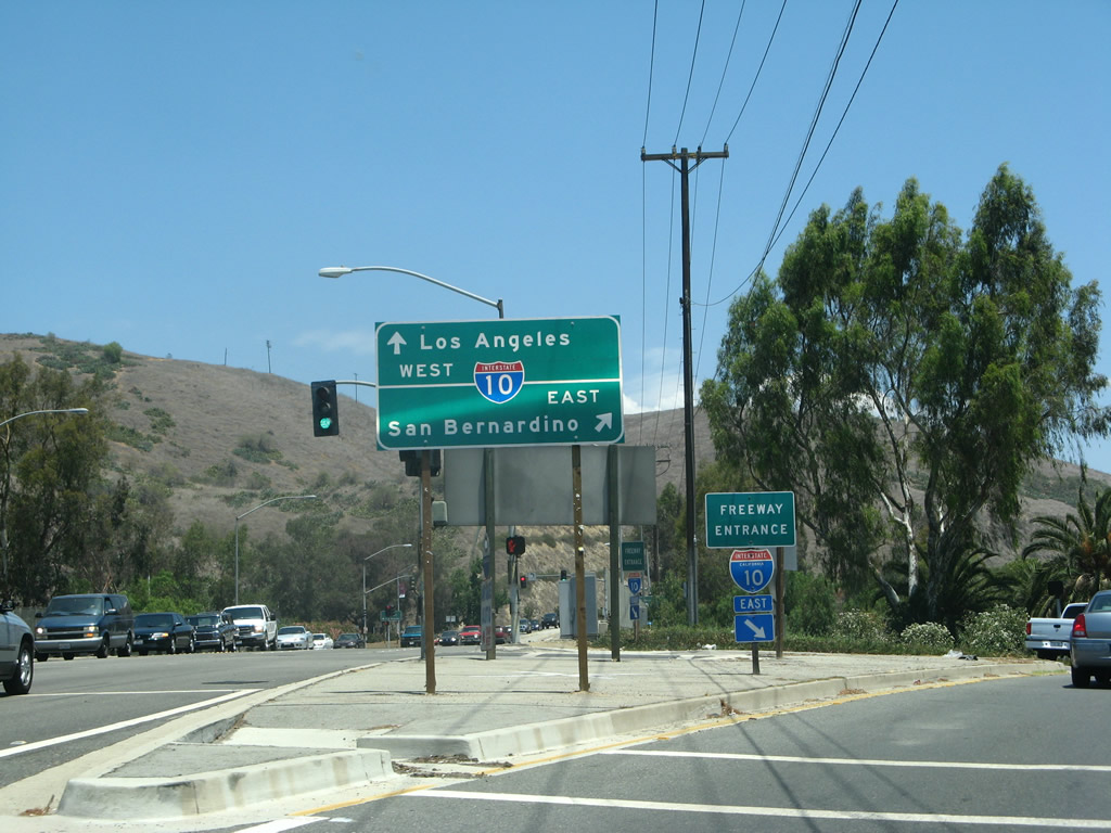
| Mount Vernon Avenue south meets I-10 beyond the intersection with Valley Boulevard (Business Loop I-10) in Colton. 07/15/07 |
|
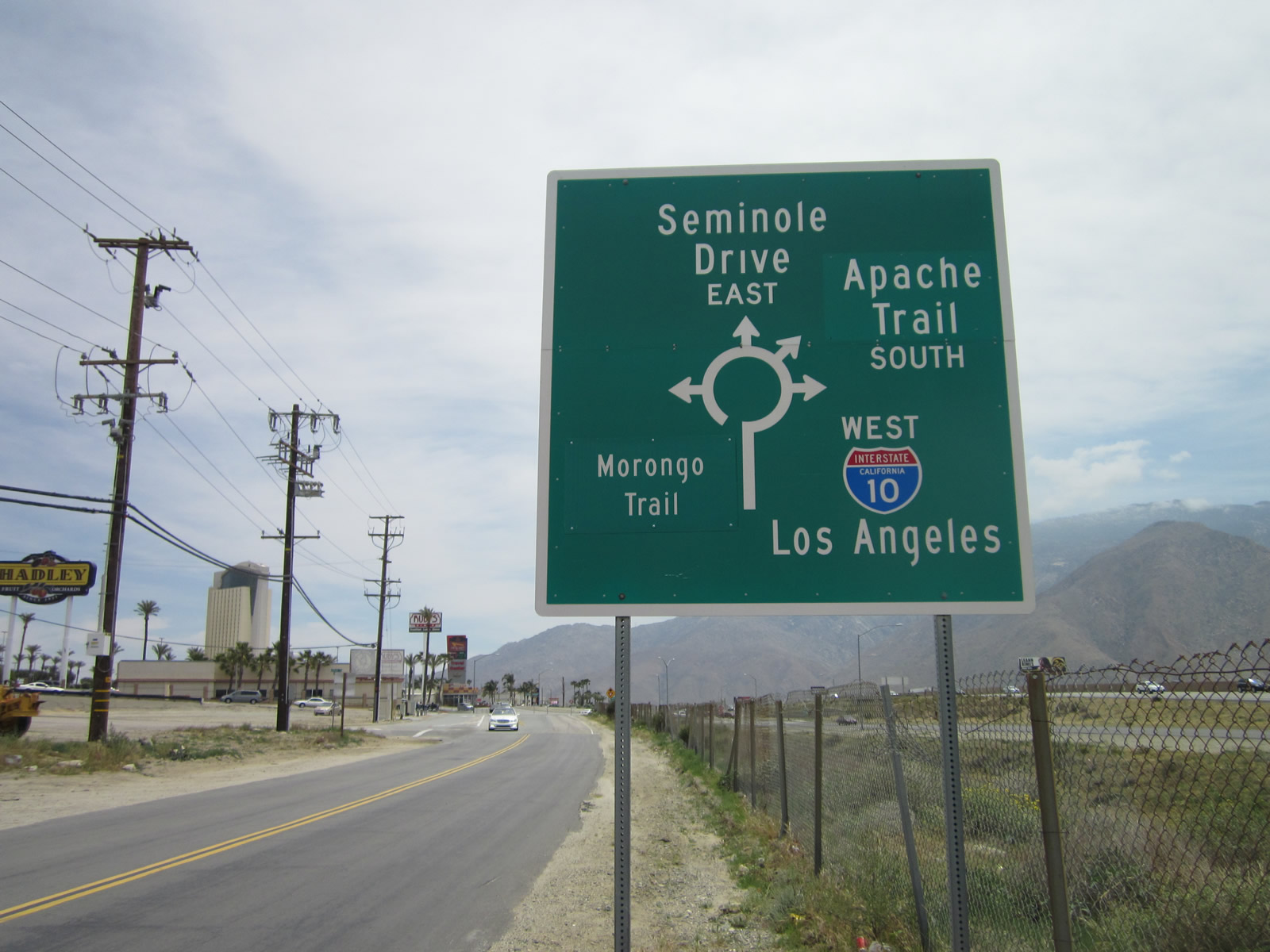
| The first dumbbell interchange along I-10 was constructed and opened to traffic in 2008 at the San Bernardino-Riverside County line. This detailed sign found along Seminole Drive, the north side frontage road along Interstate 10 in Cabazon, depicts the various roads that emanate from the northern roundabout. 04/24/14 |
|
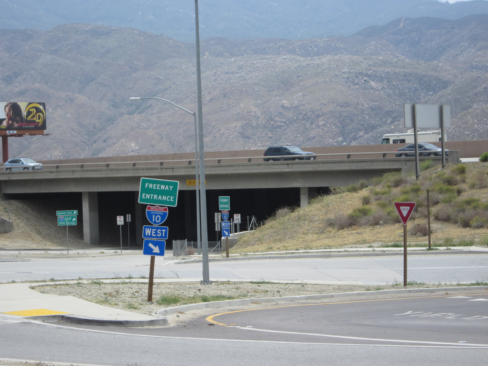
| These freeway entrance shield assemblies are located along Seminole Drive at the Morongo Trail and Apache Trail dumbbell interchange on the north side of Interstate 10 near Morongo casino in Cabazon. 04/24/14 |
|
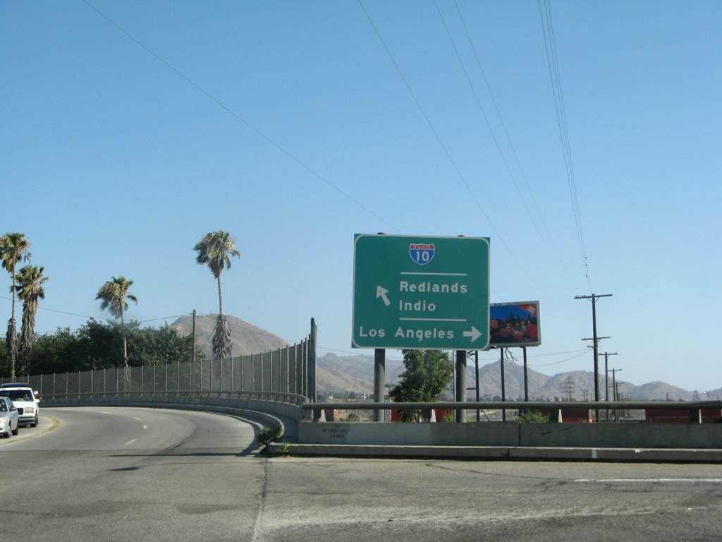
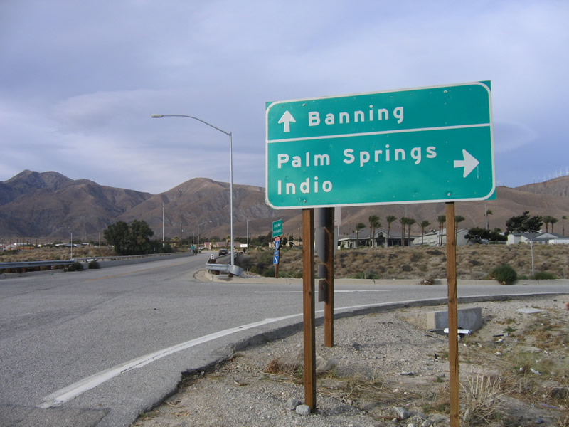
| Near Whitewater, the control points for I-10 east are Palm Springs and Indio, while the control city for westbound Interstate 10 is Banning. 02/26/06 |
|
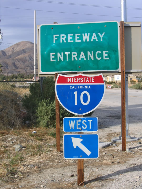
| The foothills of Mt. San Jacinto appear beyond this freeway entrance for the eastbound on-ramp to I-10 from Haugen Lahmann Way. 02/26/06 |
|
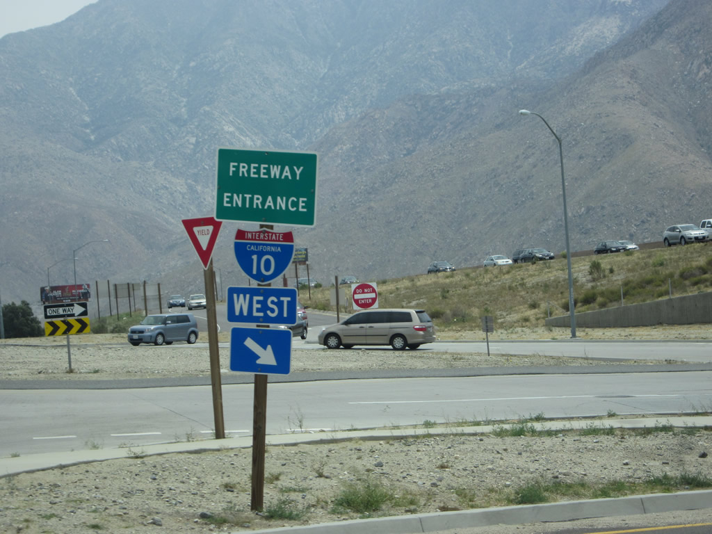
| Freeway entrance assemblies at the parclo interchange (Exit 110) joining Haugen Lehmann Way with Interstate 10. 02/26/06 |
|
| Summit Road connects Pinto Road (old U.S. 60/70) and Chiriaco Road, frontage roads along Interstate 10 at Chiraco Summit, with the freeway at Exit 173. 03/14/09 |
|
| This view looks east on Interstate 10 from Summit Road at Chiriaco Summit. 03/14/09 |
|
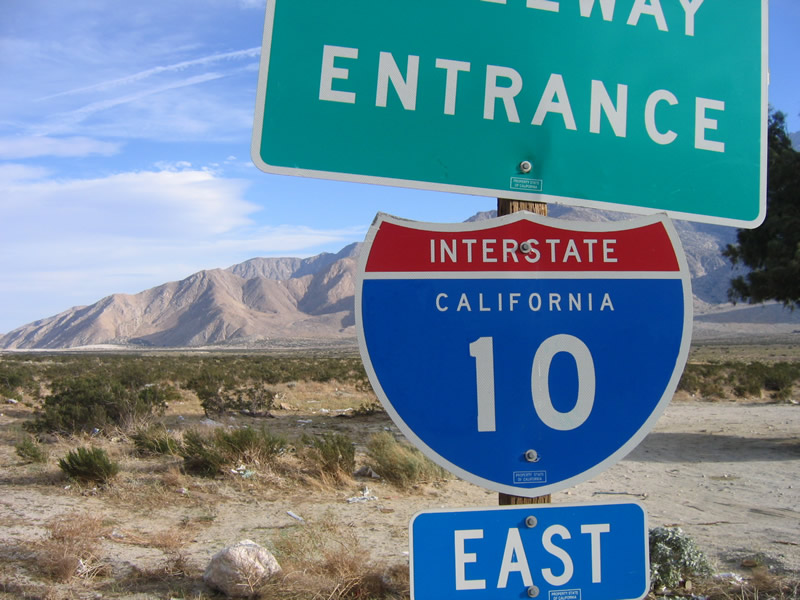
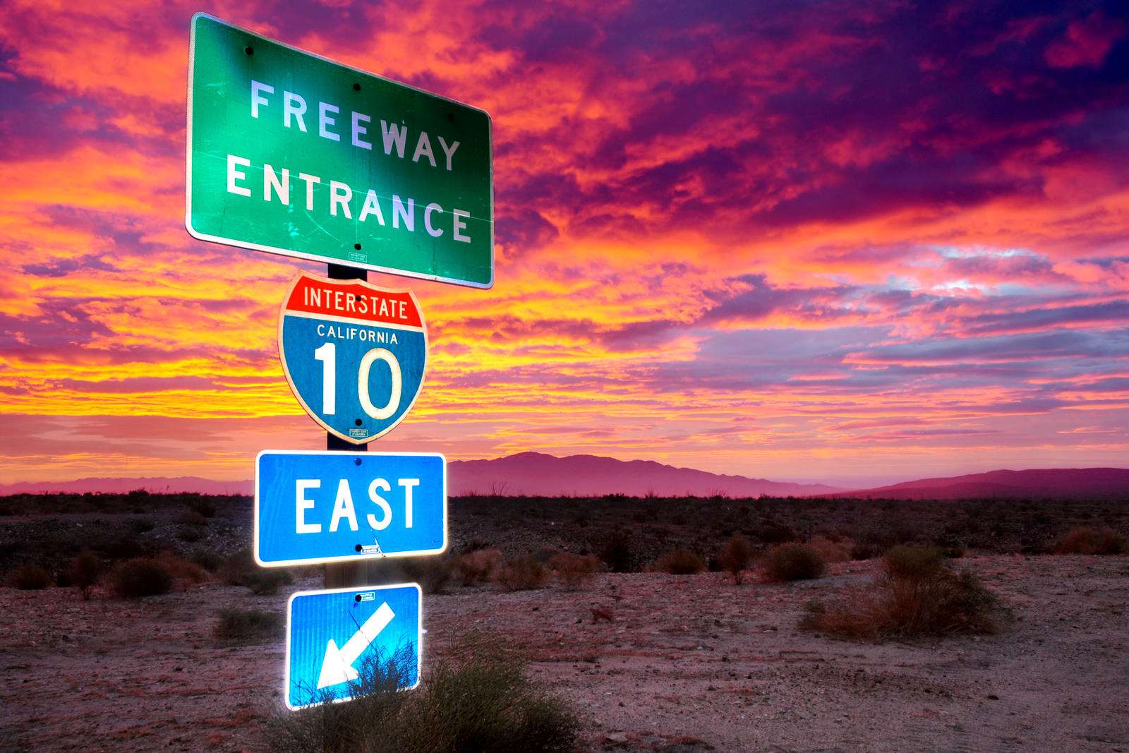
| Seen during a glorious winter sunrise, this freeway entrance shield assembly for Interstate 10 east stands at Chiriaco Summit. 01/29/12 |
|
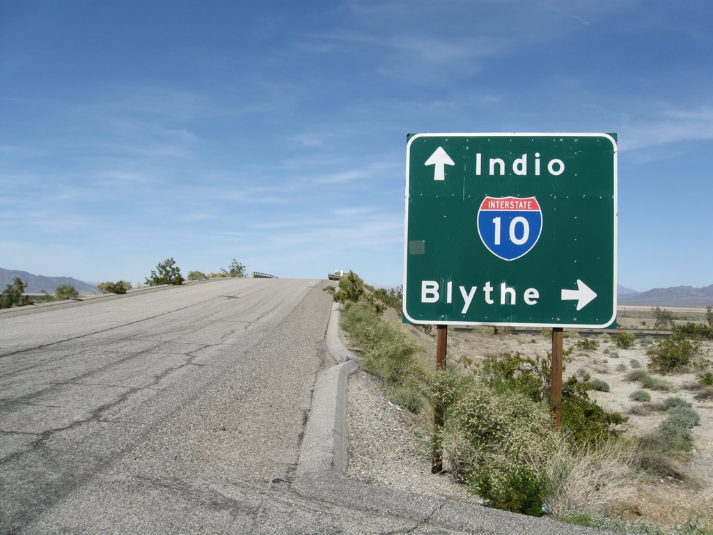
| Corn Springs Road north at Interstate 10 in Chuckwalla Valley. Note the control cities on the approach sign are for Indio (west) and Blythe (east) rather than Los Angeles and Phoenix. 03/14/09 |
|
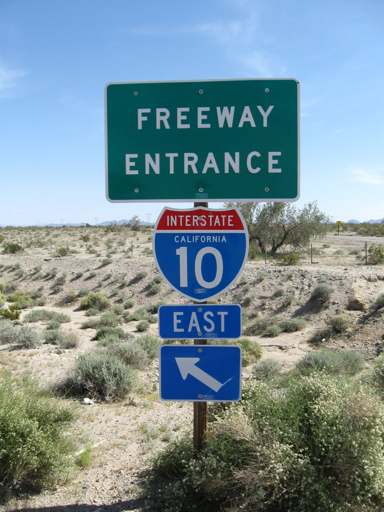
| Freeway entrance assemblies for the eastbound on-ramp to Interstate 10 from Corn Springs Road. 03/14/09 |
|
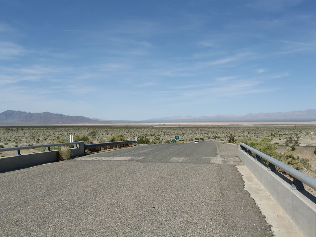
| Corn Springs Road spans Interstate 10 and ends just north of the freeway. Dusty Palen Dry Lake spreads along the northern horizon. 03/14/09 |
|
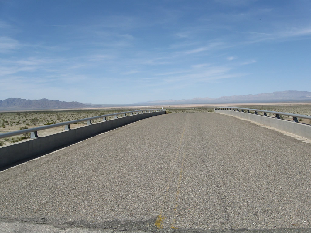
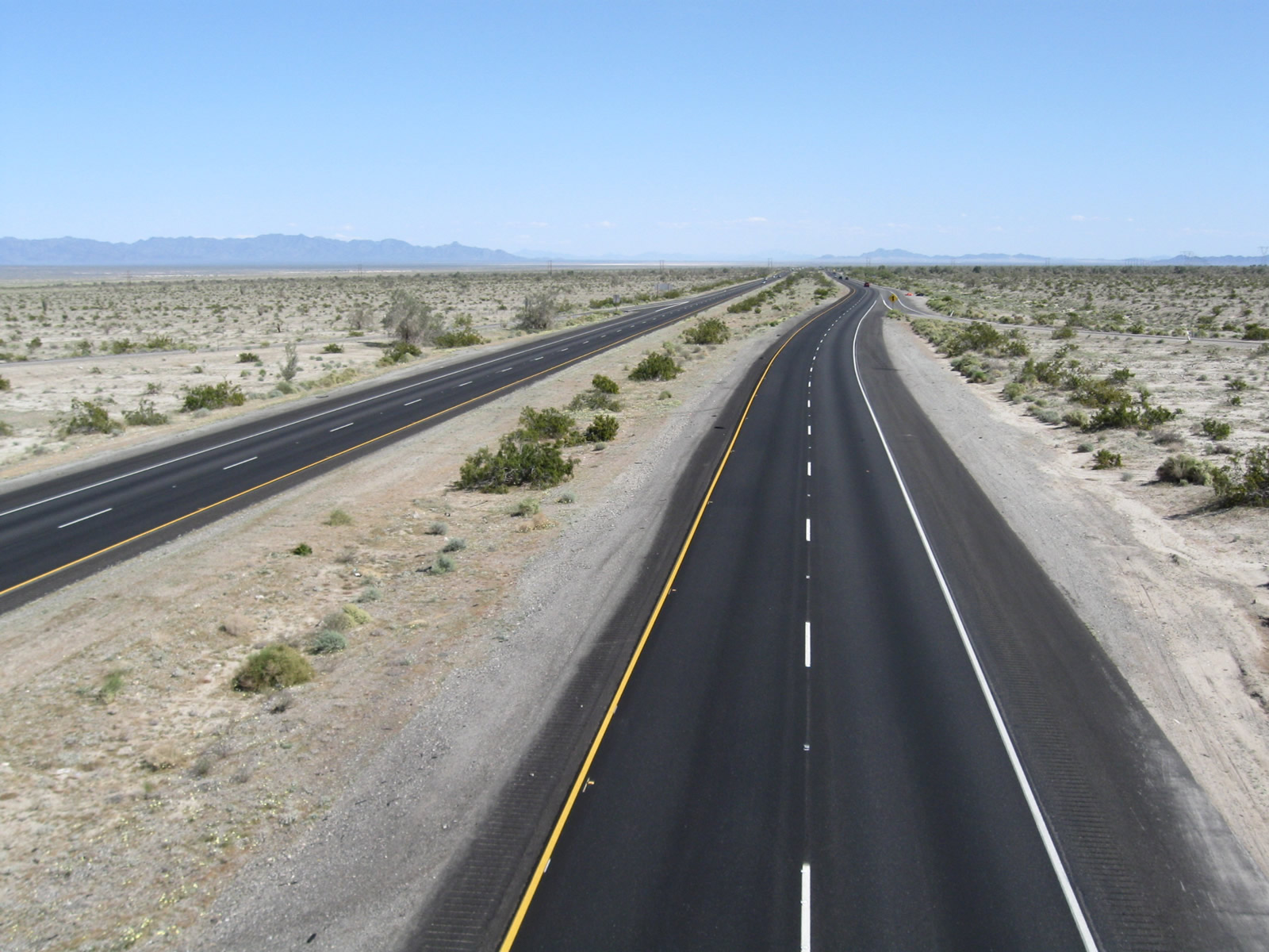
| Leading east from Corn Springs Road, Interstate 10 traverses Chuckwalla Valley. 03/14/09 |
|
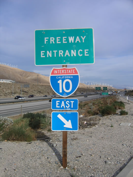
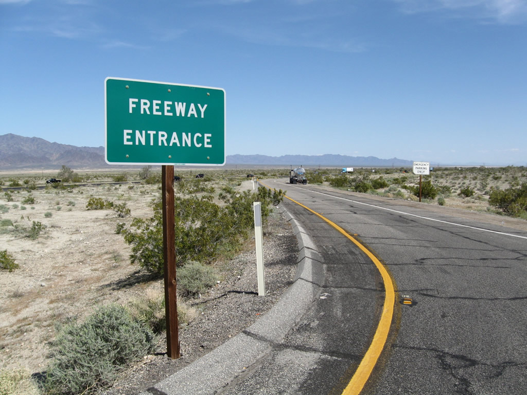
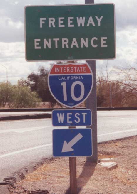
| Westbound Interstate 10 freeway entrance shield in the city of Blythe. 11/10/00 |
|
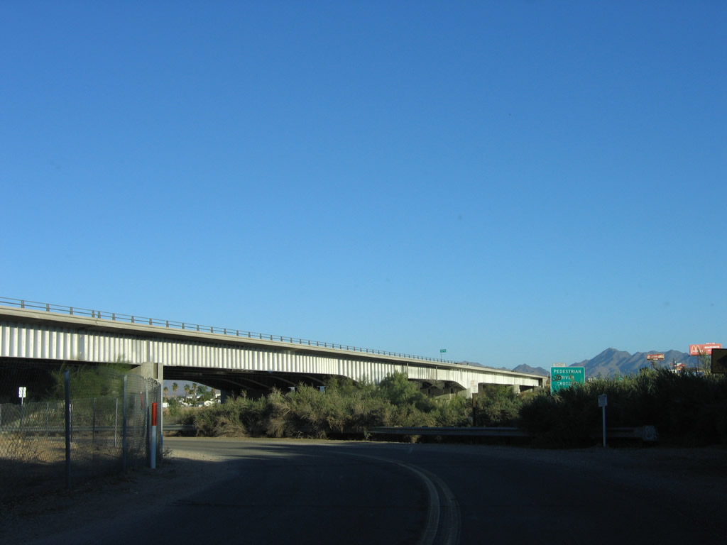
| Riviera Drive north at the bridge carrying Interstate 10 across the Colorado River in Blythe. Built in 1960, this span carried U.S. 60-70 when it was built in 1960. Expansion in 1974 brought the crossing to Interstate standards. 11/10/06 |
Page Updated 05-03-2014.

 scenes