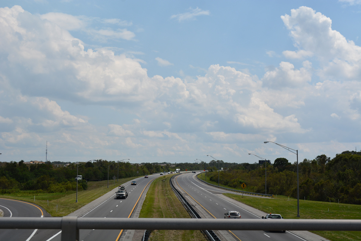
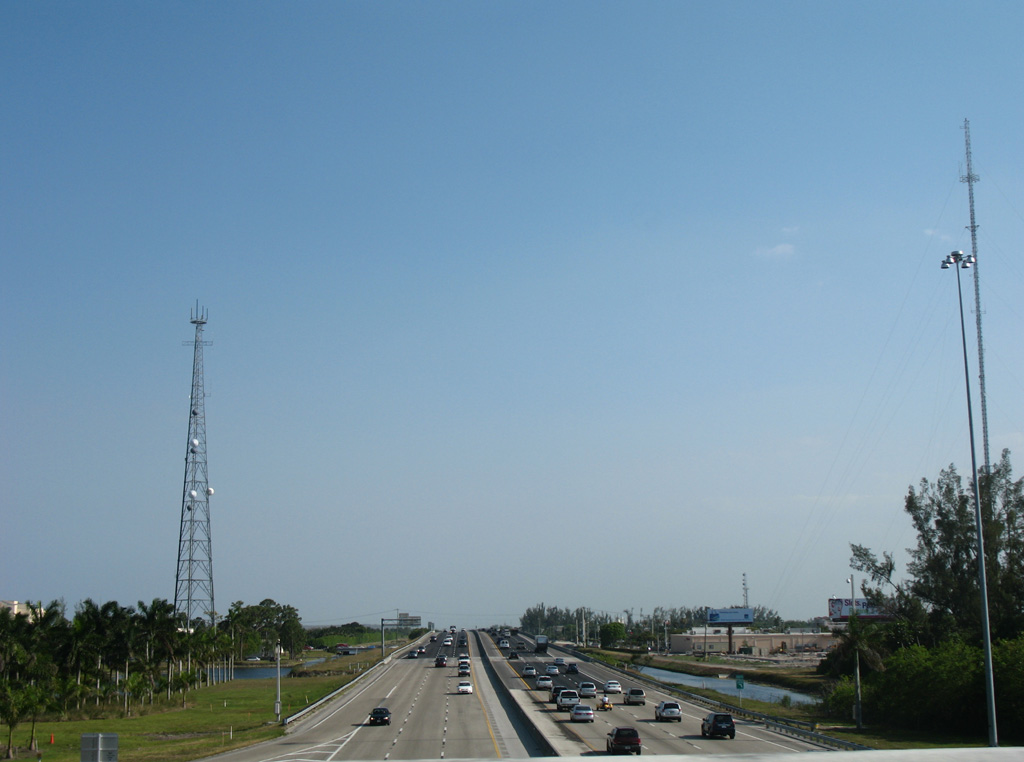
Florida's Turnpike at Exit 242, midway between Kissimmee and St. Cloud in Osceola County. 09/20/17
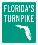
Florida's Turnpike is the main toll road connecting Homestead, Greater Miami-Dade, Fort Lauderdale, West Palm Beach, Port Saint Lucie, Fort Pierce, Orlando, and Wildwood through a continuous limited access corridor. Throughout both the Orlando area and South Florida, the Turnpike doubles as a commuter route in addition to serving through traffic.
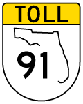
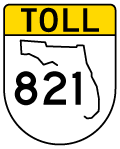
The Homestead Extension (HEFT), originates from Florida City in south Miami-Dade County, and leads north to south Broward County at Miramar, is designated State Road 821. The original turnpike mainline, designated as State Road 91, starts at the Golden Glade Interchange with SR 826 (Palmetto Expressway and NW 167th Street), Interstate 95 and U.S. 441/SR 9. Exit numbers along the Turnpike system count up from Florida City and continue along the mainline from Miramar northward. The 3.76 mile segment of SR 91 leading south from the HEFT to Golden Glades uses a separate exit numbering system with suffixes.
Florida's Turnpike Guides
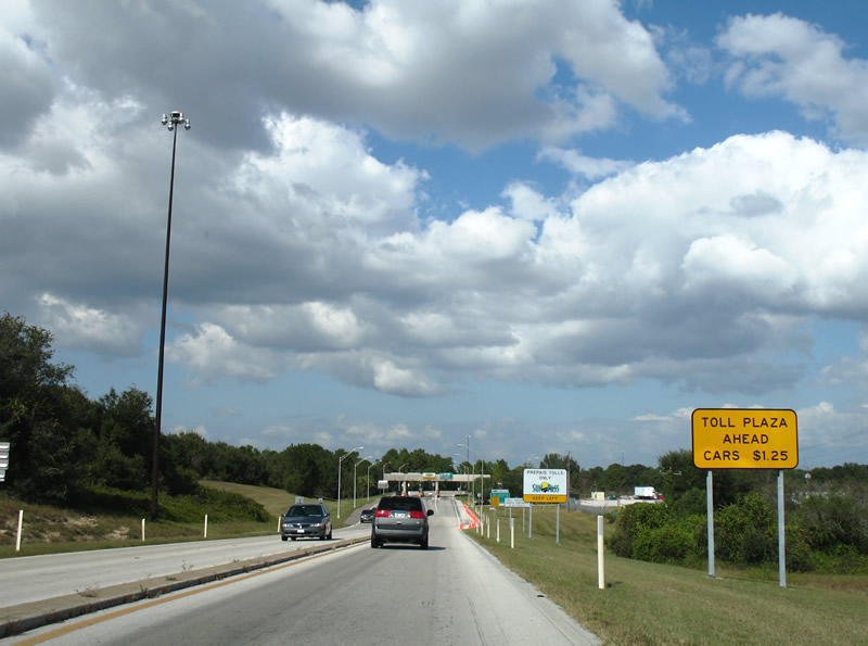
Construction underway along Florida's Turnpike between SR 429 (Western Beltway) and SR 528 (Beachline Expressway) at U.S. 17-92-441 (Orange Blossom Trail) widened the roadway and added sound barriers. Expansion of the Turnpike to eight lanes between Interstate 4 and the Beachline Expressway was completed by April 2008. Additional work on the Turnpike added a series of new SunPass-only ramps, including those for Consulate Drive (Exit 255), Kissimmee Park Road (Exit 240), Becker Road (Exit 138), SR 710 - Bee Line Highway (Exit 107), Jog Road (Exit 98), and NW 106th Street (Exit 34).
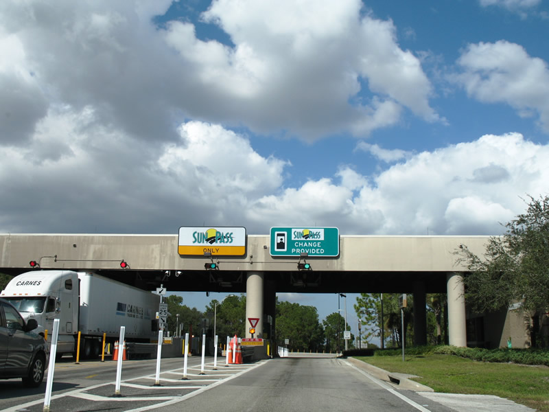
The Turnpike mainline switched to all electronic tolling (AET) from Exit 53 south to Exit 1 by February 2011. The Turnpike Enterprise spent around $58 million to convert the extension between Florida City and Miramar for AET use, with cash toll collection removed from all mainline and ramp tolling locations.1
Florida's Turnpike at SR 808 (Glades Road) on the west side of Boca Raton. 04/20/08
Florida's Turnpike is part of a larger Turnpike Enterprise System, which also includes:
The Turnpike mainline was built in stages between 1957 through 1974:
- Golden Glades Interchange with Interstate 95 and SR 826 north to Fort Pierce - opened in 1957 as the Sunshine State Parkway; part of SR 91.
- Fort Pierce north to Wildwood and Interstate 75 via Orlando - 1964; part of SR 91.
- Homestead north to Golden Glades Interchange - 1974; also known as Homestead Extension of Florida's Turnpike (HEFT or SR 821).
|
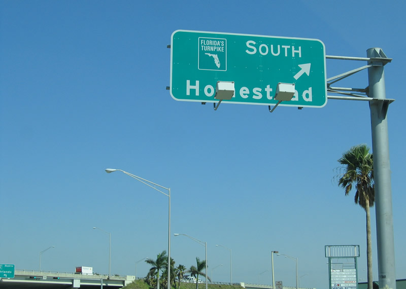
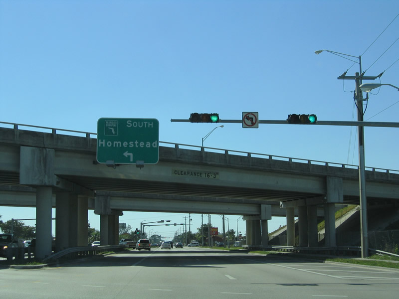
| South of Miami, Florida's Turnpike uses the control city of Homestead. This overhead was posted on 184th Street (Eureka Drive) eastbound at the split diamond interchange (Exit 13) with the Turnpike at South Miami Heights. It was replaced by 2011 to show the AET aspect of the toll road. 03/25/06 |
|
| 184th Street (Eureka Drive) passes under the Turnpike ahead of the northbound on-ramp. Florida's Turnpike continues 3.4 miles north to the split with SR 874 (Don Shula Expressway). 03/25/06 |
|
| 184th Street (Eureka Drive) westbound at the split diamond interchange with Florida's Turnpike at South Miami Heights. 03/25/06 |
|
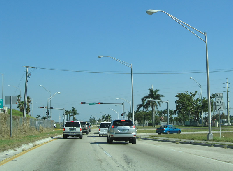
| A service road connects 184th Street with SR 994 (Quail Roost Drive) and Florida's Turnpike southbound to Homestead and Monroe County. 03/25/06 |
|
| Heading south on the service road linking 184th Street with SR 994 (Quail Roost Drive) at Exit 13. This scene changed significantly with expansion of the Homestead Extension. SR 994 heads east to U.S. 1 (Dixie Highway) at Cutler Ridge and west to SR 997 (Krome Avenue). 03/25/06 |
|
| Turnpike trailblazers posted at the southbound return ramp from the Snapper Creek Service Plaza in Miami-Dade County. 03/25/06 |
|
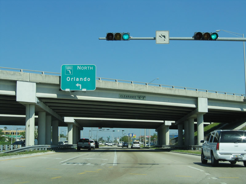
| Approaching the trumpet interchange linking the access road from Interstate 4 the Turnpike at Exit 77. An arrow per lane (APL) overhead replaced this set of signs in 2015. 01/14/08 |
|
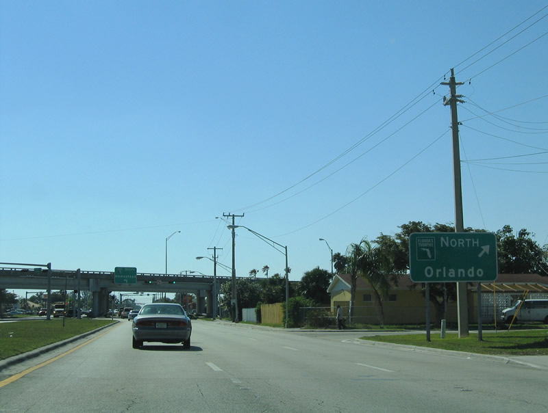
| An access road stems north from the parclo A2 interchange joining U.S. 27 with SR 19 in Lake County to Florida's Turnpike southbound. 11/05/06 |
|
| Entering the toll booth for southbound Florida's Turnpike from U.S. 27 and SR 19. The northern half of the turnpike uses a coin/cash system, with discounts available for SunPass account holders. 11/05/06 |
|
| Traffic defaults onto the Turnpike southbound at Exit 285, with the northbound ramp relocated 3.3 miles northward from U.S. 27 directly at Exit 289. 11/05/06 |
|
| Turnpike trailblazers posted within Okahumpka Service Plaza, the northernmost facility along the 312 mile long mainline. 09/20/17, 04/28/08 |
|
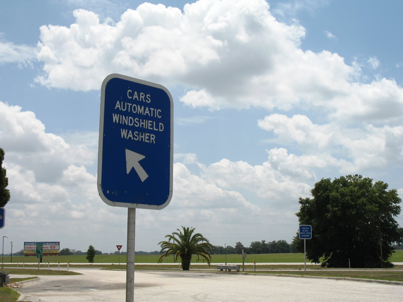
| Automatic windshield washers are available for both cars and trucks at Florida's Turnpike Service Plazas. These are especially useful during the bi-annual love bug season. 04/28/08 |
Sources:
- "Florida's Turnpike to go cashless as it switches to electronic tolling." South Florida Sun Sentinel, October 26, 2009.
03/25/06, 11/05/06, 01/14/08, 04/28/08, 09/20/17 by AARoads
Connect with:
Interstate 4
Interstate 75
Interstate 595 - Port Everglades Expressway
State Road 408 - Spessard Lindsay Holland East-West Expwy
State Road 417 - Central Florida GreeneWay / Seminole Expressway
State Road 429 - Western Beltway / Apopka Expwy / Wekiva Pkwy
State Road 528 - Martin Andersen Beachline Expressway
State Road 836 - Dolphin Expressway
State Road 869 - Sawgrass Expressway
Page Updated 10-12-2020.