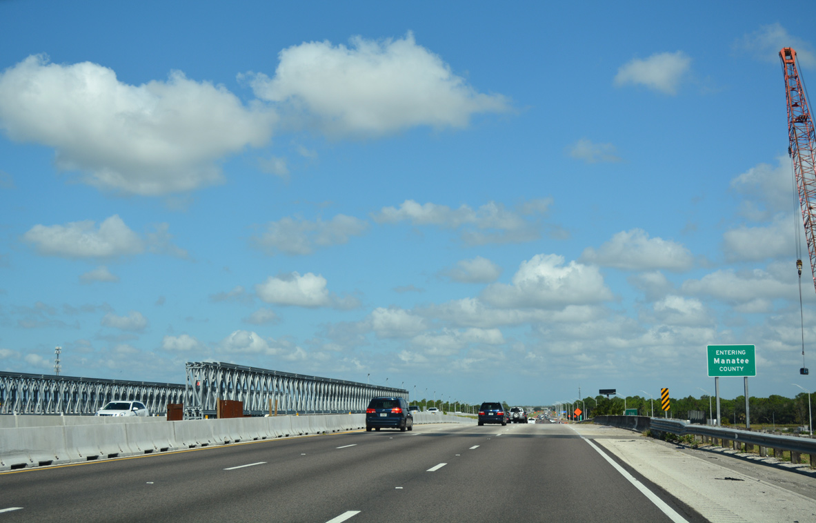
Interstate Highways


at long last, I am back, with some photos for everyone … highway signs which showed up at Roy Reed’s gas and oil collectible swap meet, and then some scenery from the subsequent days, when I found I had some time on my hands and did a quick trip up to the Bay Area and Sacramento. enjoy!


This poor guide sign has been cut into three pieces – and one is missing. But still, this is the only ACSC diamond I have ever seen which mentions “Arizona State Highway” and, even more spectacularly, the Grand Canyon! Certainly unique.


After Roy’s, we explore many roads – not all of which go to any particular place.


Well, what do we have here? Oh, just the only known surviving cateyed sign in California! This stop sign dates to between 1934 and 1942, and is the first cateyed sign anyone’s seen since the mid-1990s. A miracle that it would survive… and it does!

(more…)

Working on another overhaul of our Mobile, Alabama area guides to coincide with an overall update for our Baldwin County ones. Getting to here quite often leads to our noticing of several small changes to signs and roads. Our latest round of updates reflects some of these…

The latest Clearview sign to appear on a Mobile area Interstate, this of a westbound mileage sign posted along Interstate 10 in Baldwin County.

More 2010 (and some from January 2011) photos have been added to both westbound guides of Interstate 10 in Alabama, Interstate 65 north and 165, U.S. 43, U.S. 45 north, U.S. 90 east, U.S. 98 west, Alabama 188 as well.

The first roundabout in Mobile County opened to traffic in October 2010. This traffic circle differs from most in that it handles movements between five roads.

New roads opened in the Mobile area during 2010 include Air Terminal Drive, linking Mobile Regional Airport with Dawes Road, an extension of Grelot Road west to Dawes Road at Air Terminal Drive and the extension of Nevius Road, linking Alabama 193 (Rangeline Road) with Hillcrest Road and the Main Line Street viaduct connecting Virginia Street with Ezra Trice Boulevard.

(more…)

Here is a look at I-95 in Rhode Island as it appeared in 1982. I-195 was recently re-routed in the “Iway” project, and the old ROW is currently being demolished.

I-95 Rhode Island

Photo by Dave Watts, used with permission.

The Pittsburgh Steelers go for an unprecedented seventh world championship in Superbowl XLV. Exiting the Fort Pitt Tunnel onto the double-decked Fort Pitt Bridge is the city’s finest roadgeek view including multiple bridges, high rises, Heinz Field, PNC Park, etc. Photo taken July 12, 2010 by AARoads’ avid Steelers fan!

Fort Pitt Bridge - June 12, 2010.

Extended Interstate 376 east meeting its original end by downtown Pittsburgh.

The Green Bay Packers will be playing in Superbowl XLV this weekend, and I thought a fitting tribute would be a photo of Green Bay’s most famous roadgeek sight – the northern end of I-43. Photo taken Saturday, January 29th, 2011 – when it was very very cold.

I-43 northern end

The third day of the winter trip to Nevada. This set features exclusively California, as I headed home, down the Central Valley from Redding.


This old bridge can be found on US-99 in Red Bluff. Plenty of 1920s – and even older – bridges may be found along the historic route.


An original I-580 shield. The banners are brand new, but that gantry is specifically designed to hold two route markers: I-580, and US-50! This one is out near Tracy, where US-50 hasn’t run since 1971.


Pastels after dark. Okay, not quite so – just before dark, with a 10-stop long-exposure filter. Two minutes of total light, off the overpass looking south at highway 132.

(more…)

the second day of my Utah/Nevada/California trip – this time focusing almost exclusively on Nevada, except for at the end of the day, where we cross into California, and are nearly buried alive in snow. On this day, we cover US-50 in Nevada (the Lincoln Highway), and on the next day we head to California and drive down I-5 through the Central Valley.


About 30 miles west of Ely, Nevada – a fishy sunrise. I took two photos with my fisheye lens, and converted to rectilinear and stitched them together, resulting in what is about a 165 degree field of view! The large version of this image is nearly 11000 pixels wide.

(by the way, to convert the 10.5mm Nikon DX fisheye to rectilinear, use 142 degrees horizontal and 98 degrees vertical coverage. I use Panotools to do the remapping, which lets me enter these two constants directly – your methods may vary.)


There are, as far as I found, seven Lincoln Highway concrete posts in the state of Nevada. They were all put up in 1928. This is the only one that, as far as I can tell, is in its original location, as opposed to being moved by the state of Nevada in the intervening years.

Based on some new information I just received – this Lincoln post was put up in the mid-1980s. There are subtle differences between the original 1928s and a bunch that were made in the 80s when the highway’s revival began. I alas was not looking for these differences, so I do not know if any of the 7 posts I found were 1928s.

(more…)

Over the holiday weekend, I took a trip that concentrated heavily on US-50 from I-15 in Utah to Carson City. This batch barely gets us there, as we head up the US-91 corridor (approximately) from San Diego to Utah, and then turn west, stopping in Ely, Nevada for the night.

those that click on the large versions of the photos may notice… new camera! Larger pictures for your enjoyment. When my D50 died at 99872 exposures, I upgraded to the D5000. This trip served to field-test it in a variety of conditions.


Pointy rocks and high clouds, by the side of the Kelso-Cima Road, which is a very old US-91 alignment. Before they built the road in the 30s that would be upgraded to I-15 in 1962, a somewhat more indirect highway followed the railroad between Cima and Kelso, and that was US-91.


US-50 in western Utah. 1am on a foggy night. As there was no place to pull over, I stopped the car in the middle of the road and set up the tripod next to it. No cars came in the six or seven minutes I was stopped. Indeed, no other vehicles between Hinckley, Utah and Majors Junction, Nevada – over 100 miles!

(more…)

A trip that JeffS and I took to Death Valley this previous weekend. We rented a big old truck, and in strict accordance with our rental car policy, we did not under any circumstances drive on any dirt roads looking for old highway signs. Jeff even brought a metal detector – just in case we could dig something up.

Were we successful in finding old signs? Let’s find out!


Be sure to check out the large version of this picture. The dragonfly cooperatively held still for a good minute or so, and therefore I took over 100 pictures. This one is the sharpest!


Every once in a while, I can shoot a picture into the sun and get it to come out!


The last diamond sign. The Auto Club of Southern California put up these markers from 1906 to 1929, and this one has not been stolen simply because it is barely recognizable as anything more than an 18×18 inch pane of steel. Surrounding it are various empty gas cans and other artifacts.

We got to the sign well past dark. This is about a three-minute exposure under a quarter moon. The cloud illumination is provided by the city of Las Vegas; the foreground lighting is thanks to a flashlight.

(more…)

The last of the trip from December ’07. Utah, Nevada, and California.


Nope, this is not the Great Salt Lake – this is the Bonneville Salt Flats in winter, when there is a thin layer of collected rain and melted snow… and people drive in it.


Tiny houses, colossal mountains. Somewhere in Nevada at sunset.


Well past dusk, near Battle Mountain, Nevada.


Donner Lake, the next morning.


Clouds over the east bay. The view from I-680; and yes, that part of California is greenest in … January.

(more…)

« Previous PageNext Page »